bobspirko.ca | Home | Canada Trips | US Trips | Hiking | Snowshoeing | Map | About

Chaparrosa Peak
Pioneertown Mountains Preserve, California
January 22, 2020
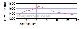
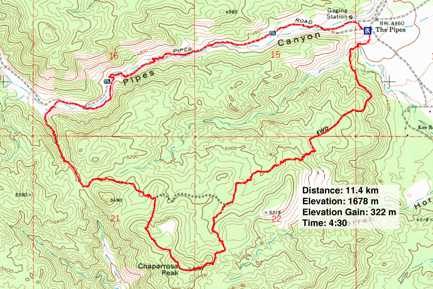
Distance: 11.4 km (7.1 mi)
Cumulative Elevation Gain: 392 m (1286 ft)
The loop trail for Chaparrosa Peak was one of the most interesting hikes we did while we were in Palm Springs. An hour's drive north of the city, this hike offers a lot of variety for an easy, half-day trip. From huge granite boulders and pleasing desert scenery to old ruins and pictographs, the trail kept us engaged.
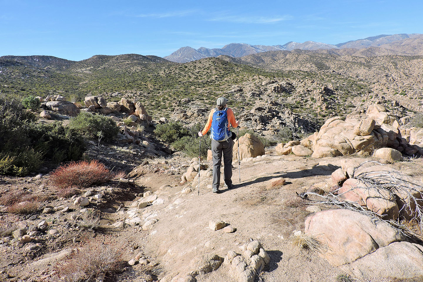
The trailhead is at the upper parking lot above the ranger station. Dinah and I signed the trail register and started down Indian Loop Trail. After dropping down to a wash, the trail steadily climbs until it reaches an intervening ridge before the peak. The path then descends and crosses a shallow bowl.
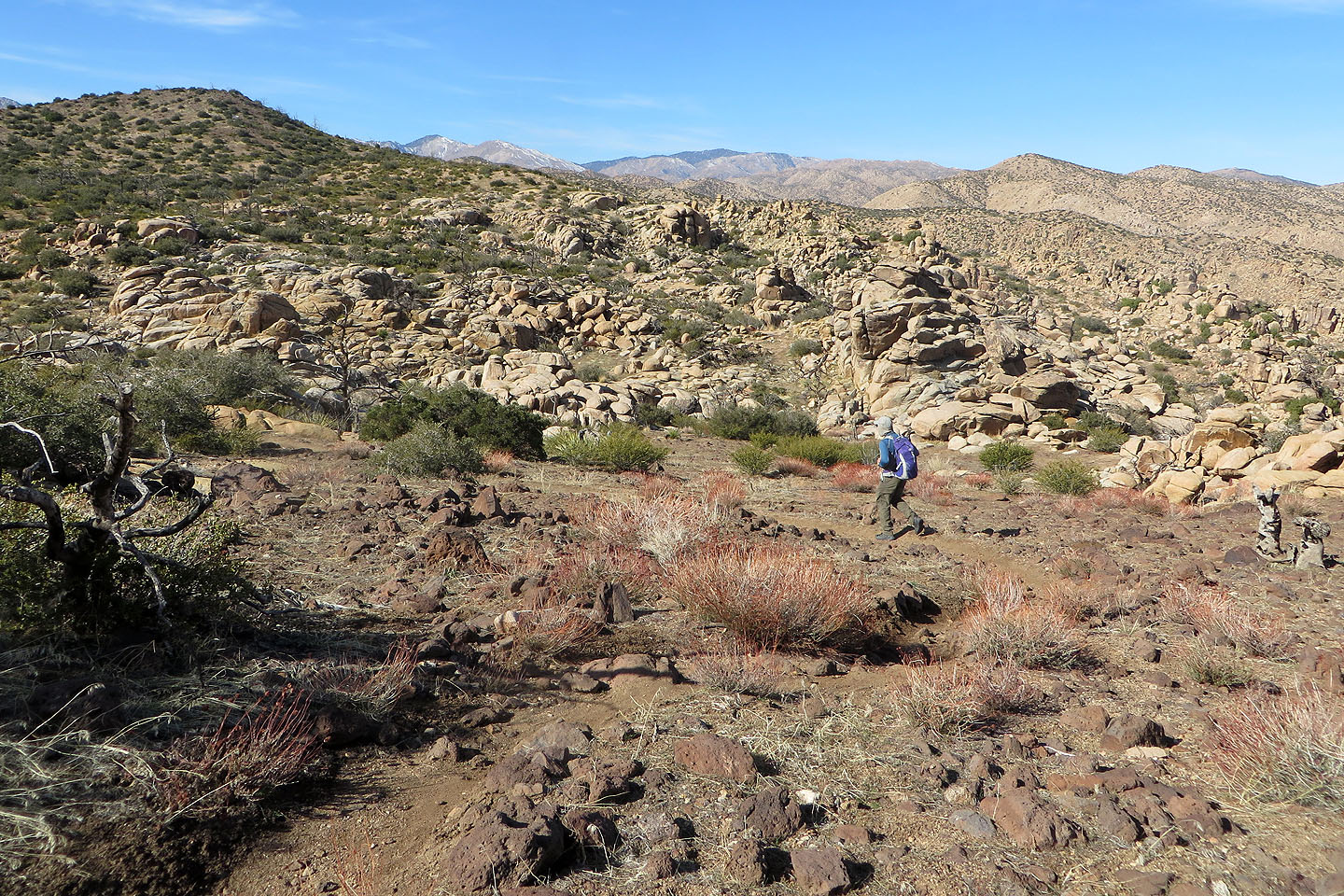
At the junction for Chaparrosa Peak, we left Indian Loop Trail and headed to the mountain. When the trail began climbing the ridge for Chaparrosa, we were treated to a vast boulder field on our left. Soon after, we were standing next to a small summit cairn.
We weren't keen to hike a kilometre back to the junction to Indian Loop Trail, not when we could get to the trail more directly. So we continued along the ridge. We bushwhacked through desert scrub and took in some ups and downs, before dropping down a spur to get back on the trail. The offtrail hiking wasn't particularly pleasant, but it knocked off a considerable distance than if we had hiked back to the junction.
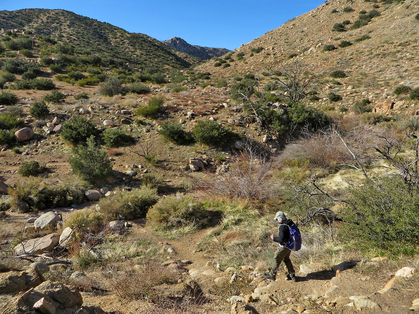
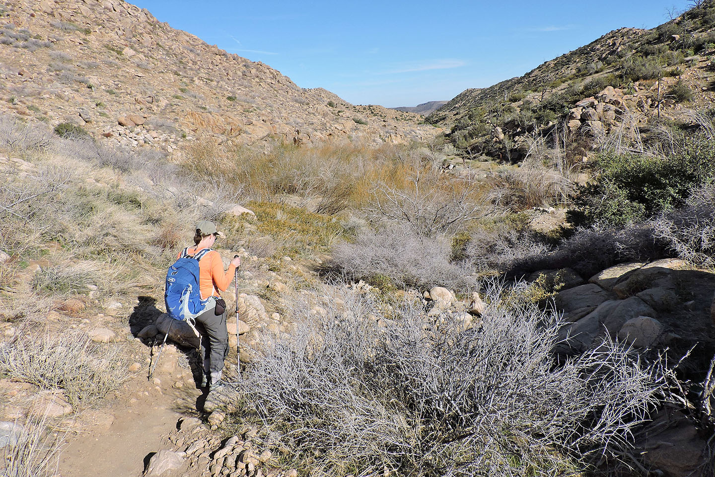
Back on Indian Loop Trail, we followed it as it snaked between two high points before heading down a canyon. At the bottom, the trail turns right, leading to Pipes Canyon.
There were a few things of interest in the canyon. The wetlands were wildly overgrown with the trail running tunnels through tall bushes. While still in the wetlands, we stopped and poked around Olsen's Ruins, the remains of a cabin nearly a century old. Farther along the trail, out of the wetlands, we came to a rock bearing pictographs. From there it was a short hike back to the parking lot, completing this delightful loop.
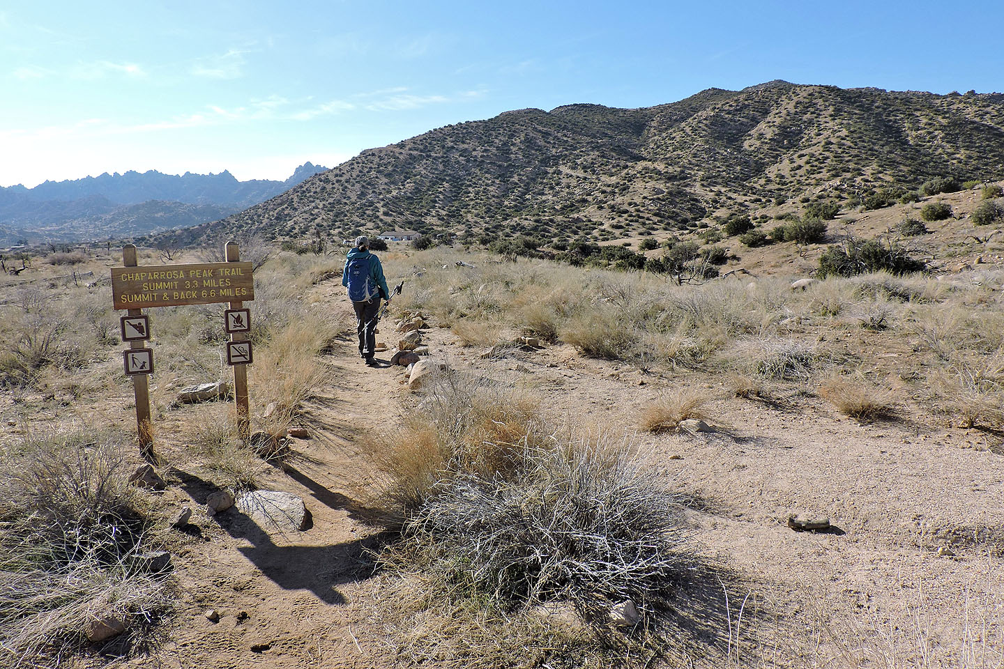 Starting up the trail. The trail climbs the ridge in front of us.
The trail drops down first
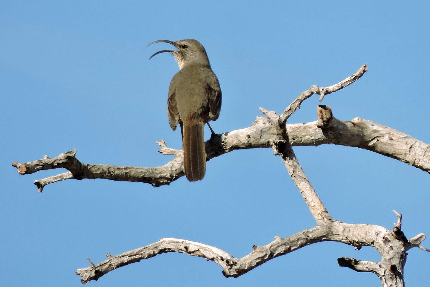
California thrush
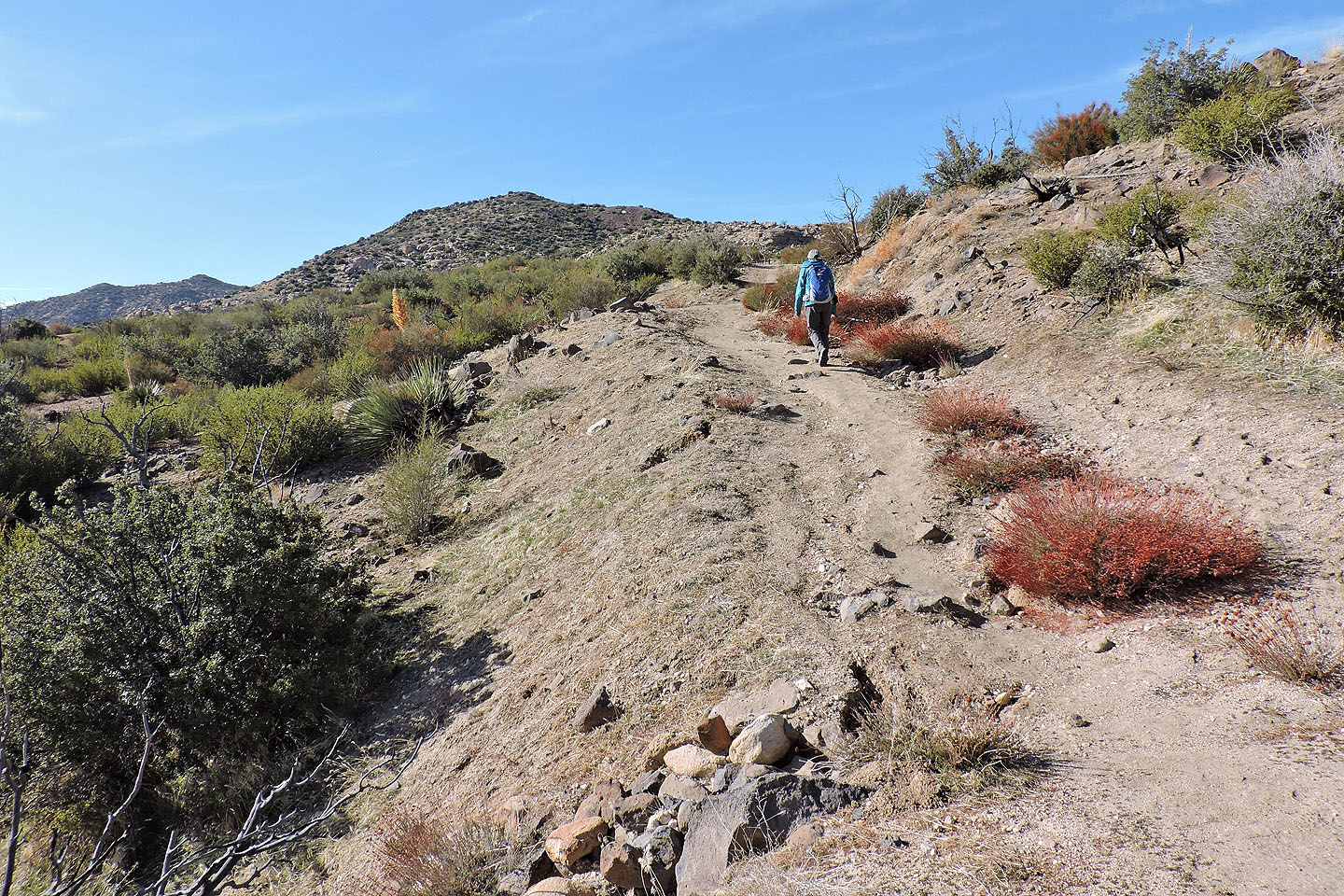
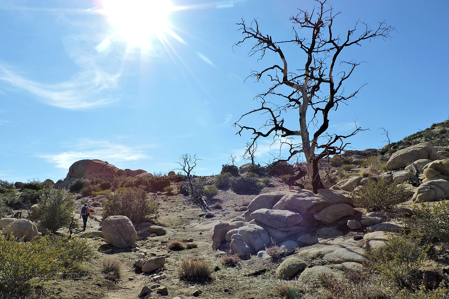
The trail eventually climbs over the ridge ahead
The ridge appears rocky but the trail avoids most of the boulders
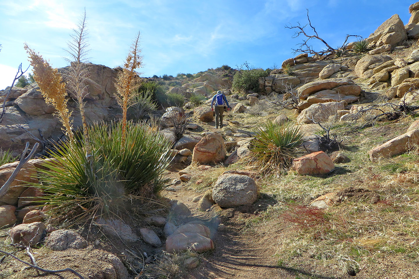
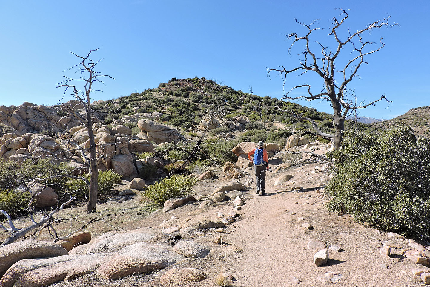
Hiking up the ridge
Looking back
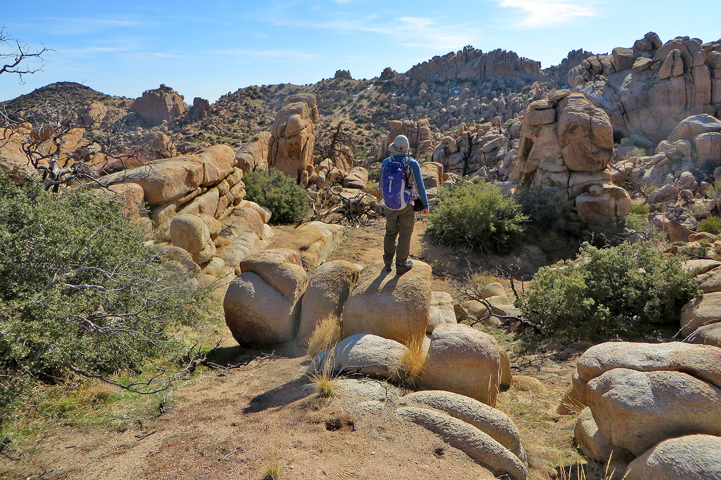
On top of the ridge
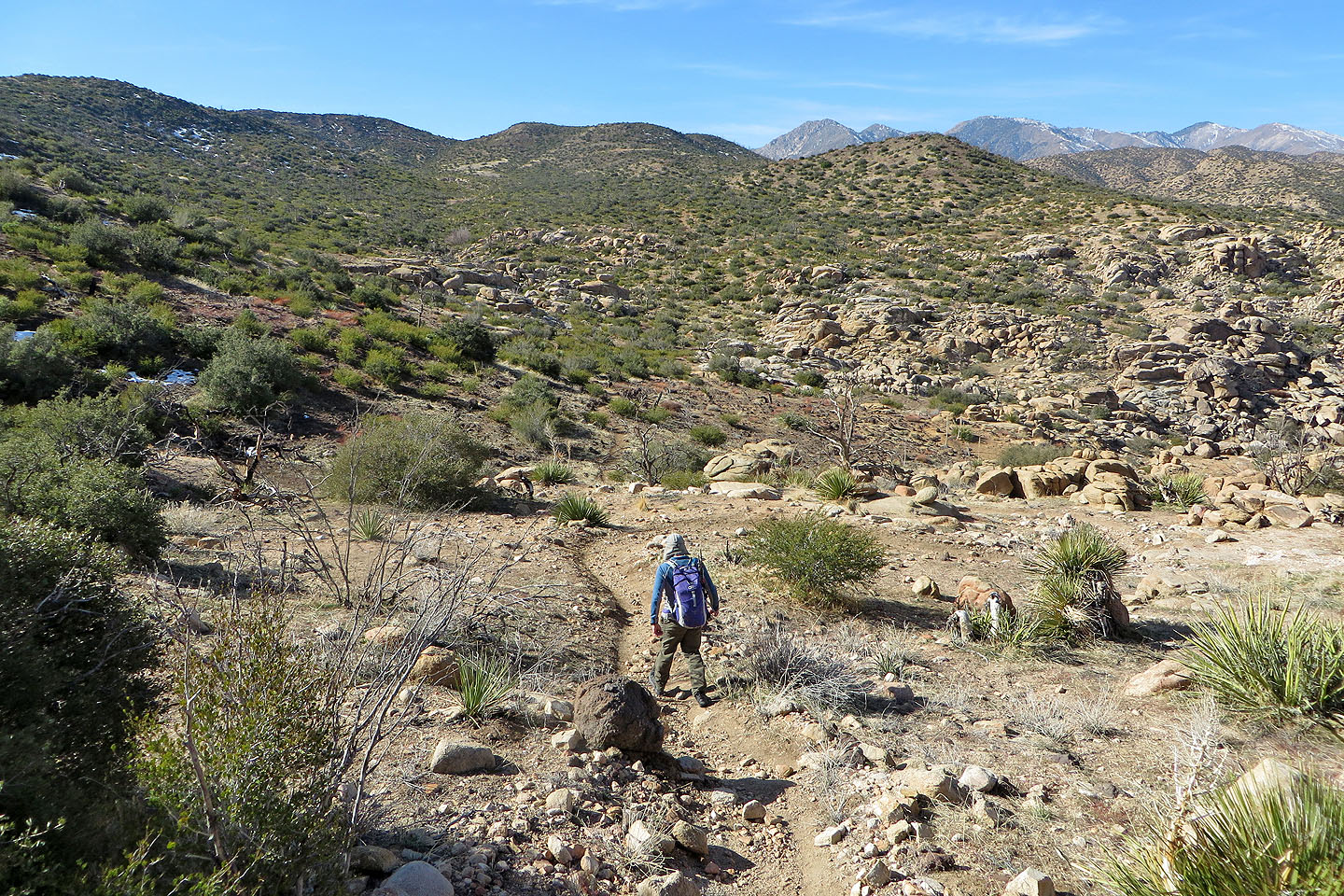
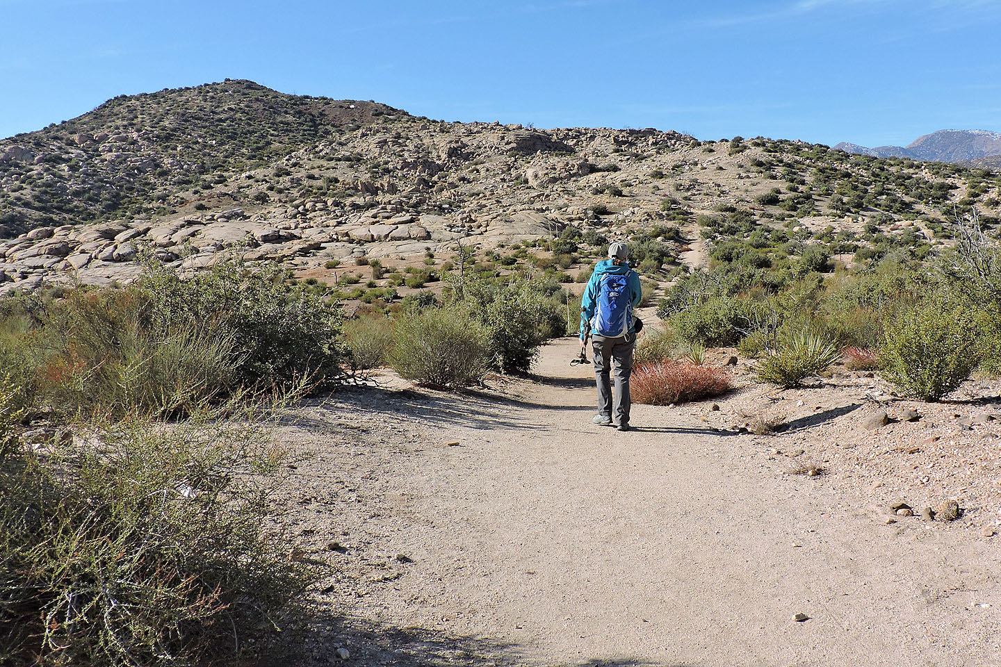
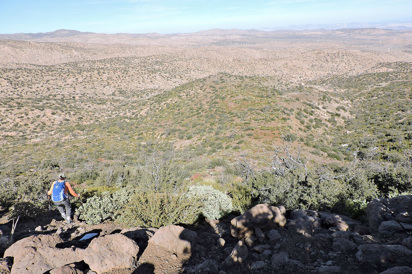
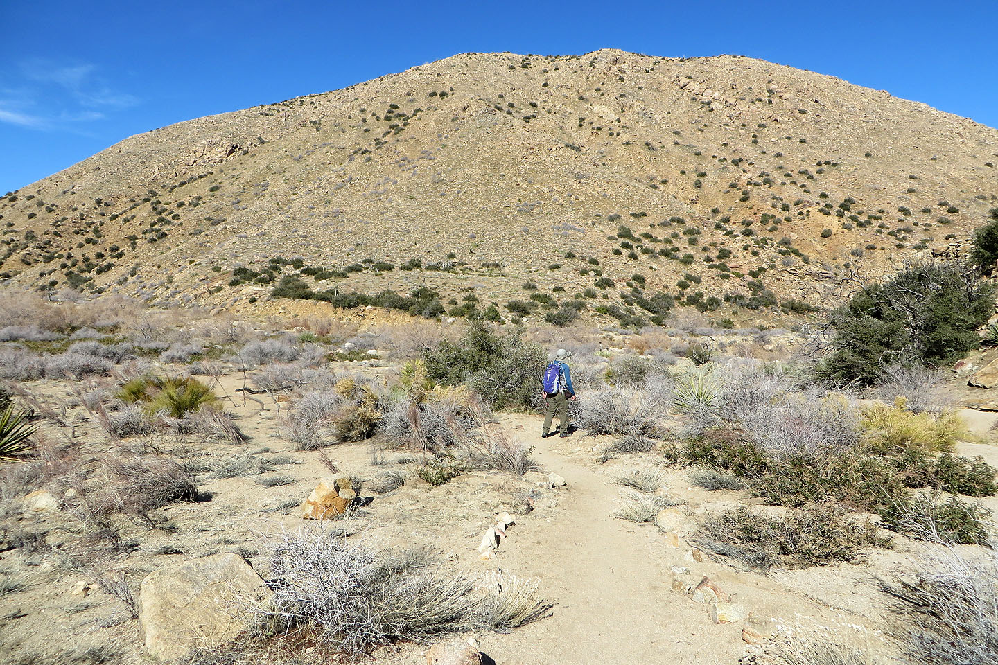
The trail drops down into a bowl. Chaparrosa Peak appears directly above me.
The trail is mostly flat as it crosses the bowl
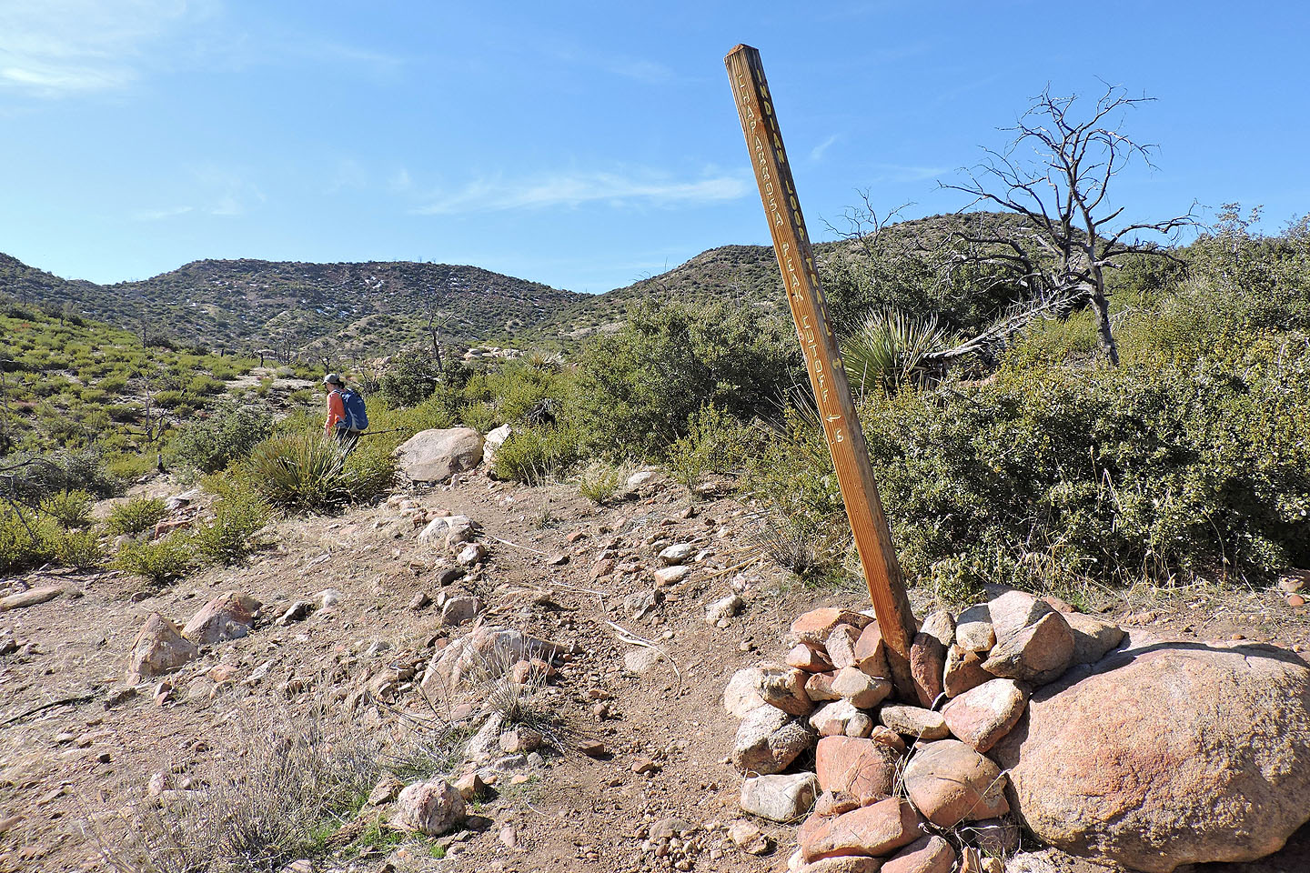
The fork: left for Chaparrosa and right for Indian Loop Trail
The trail begins climbing to the ridge
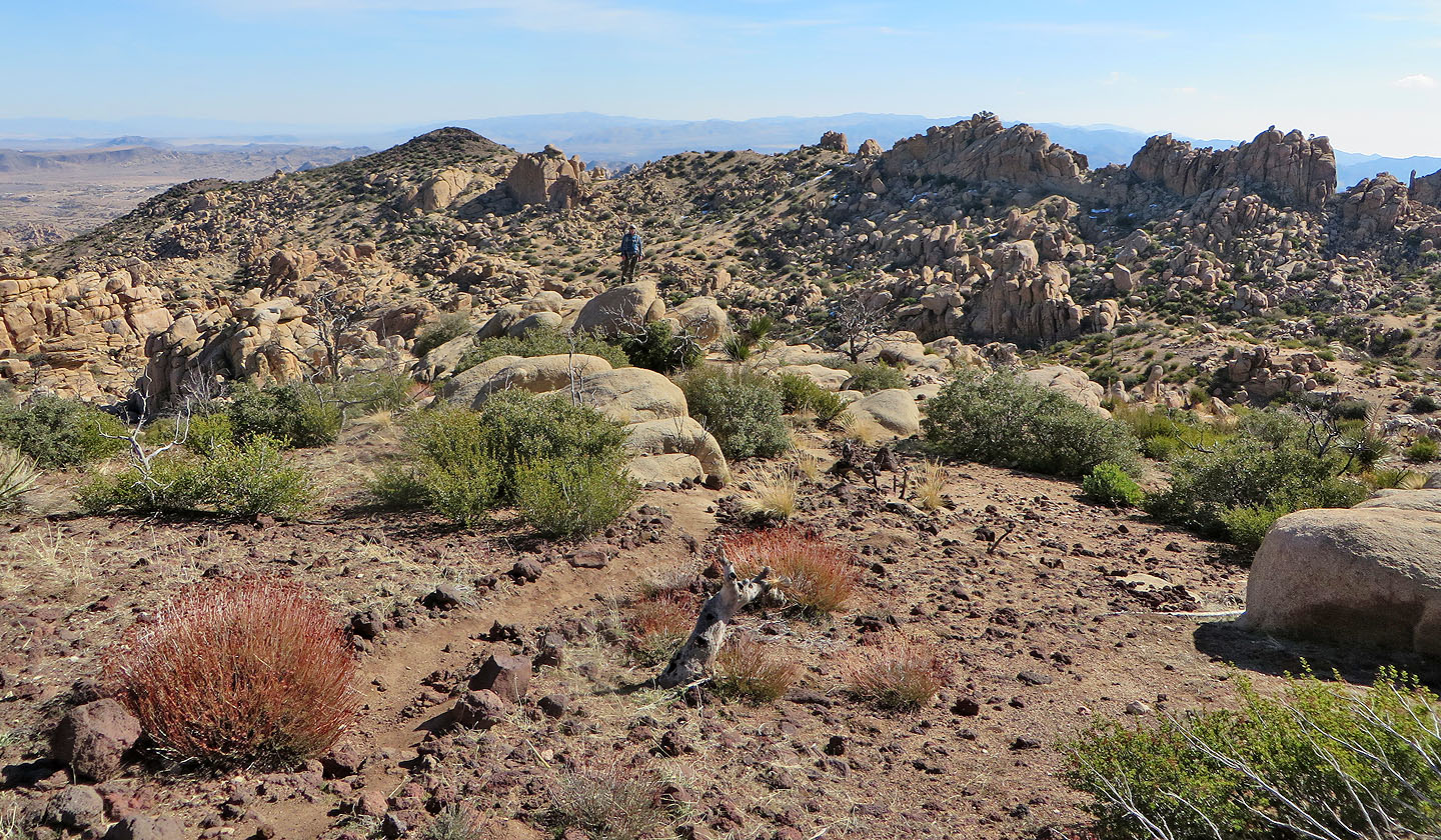
On the ridge heading toward the false summit
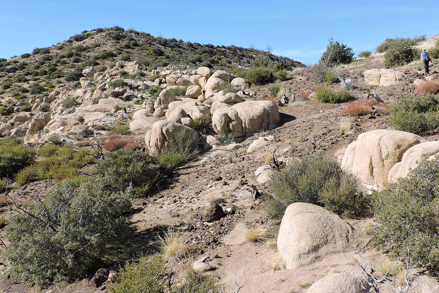
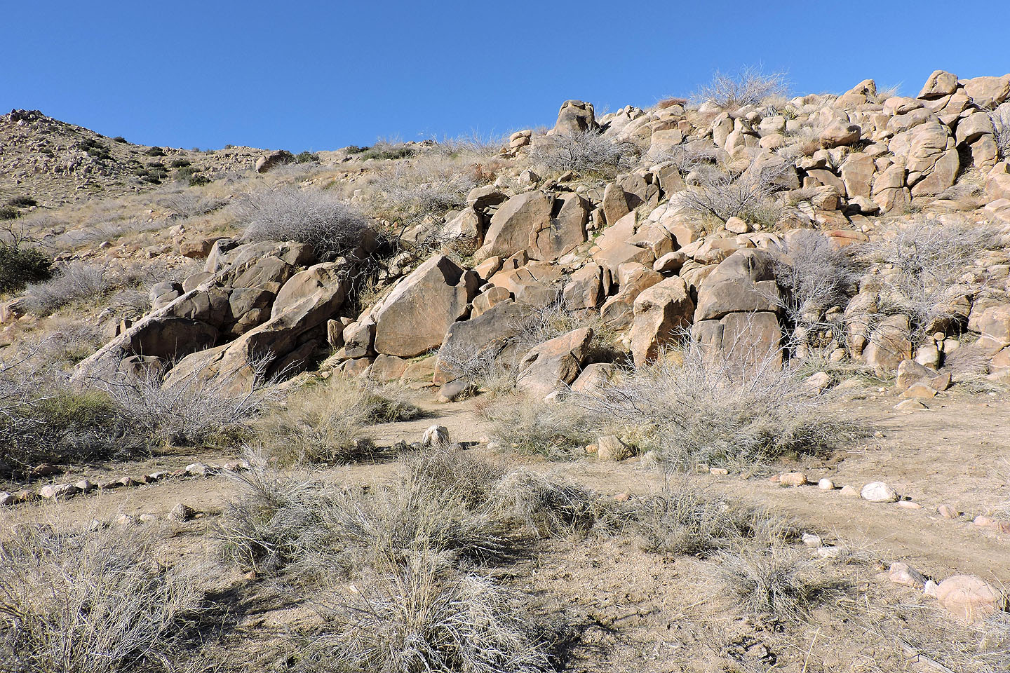
On our left the slopes are covered with granite boulders
Another view of the boulder field a little farther up the trail
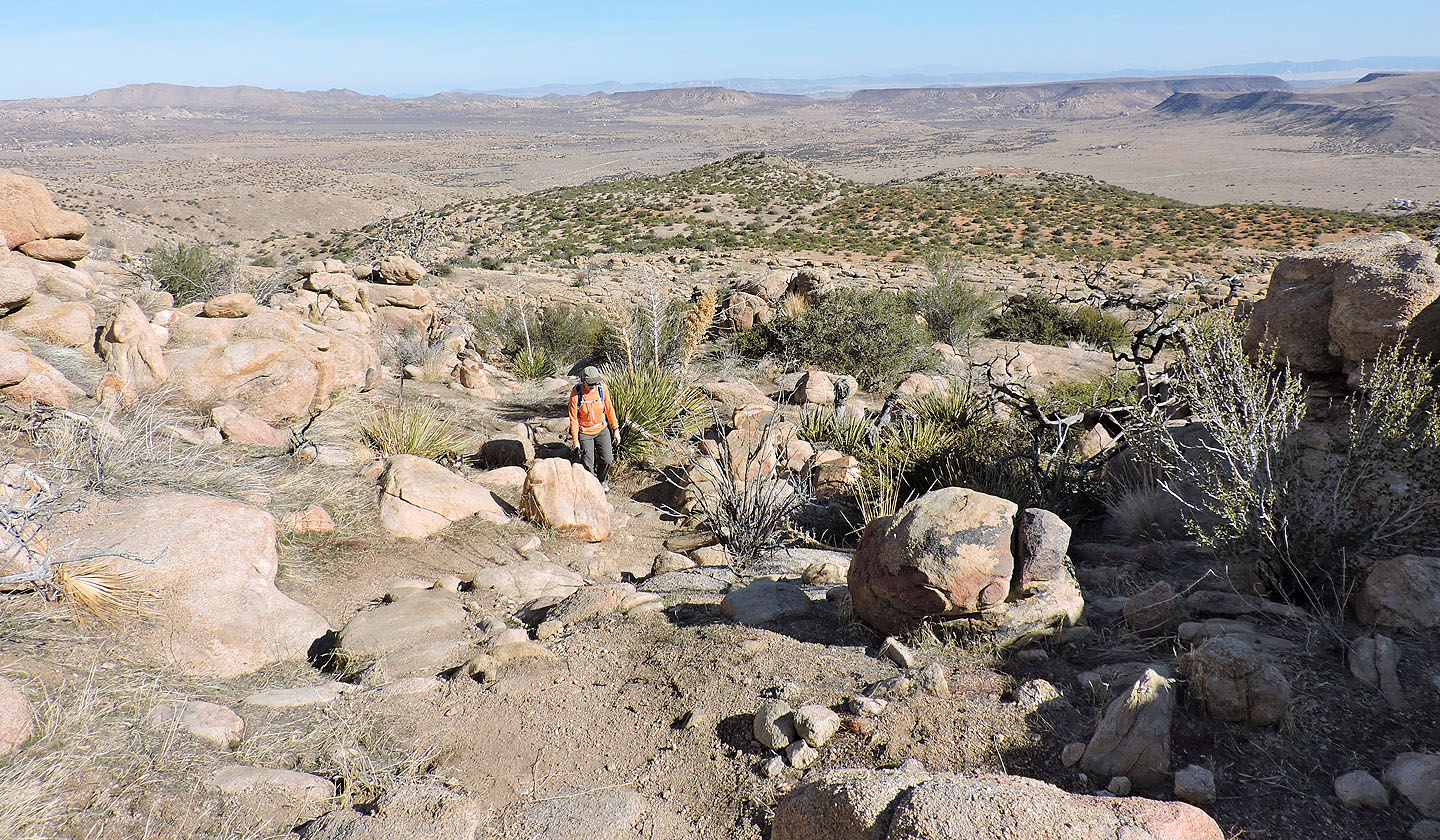
The summit is now in front of us
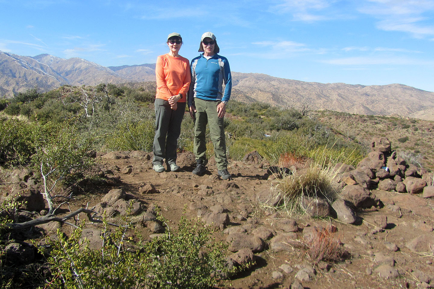
Standing by the summit cairn
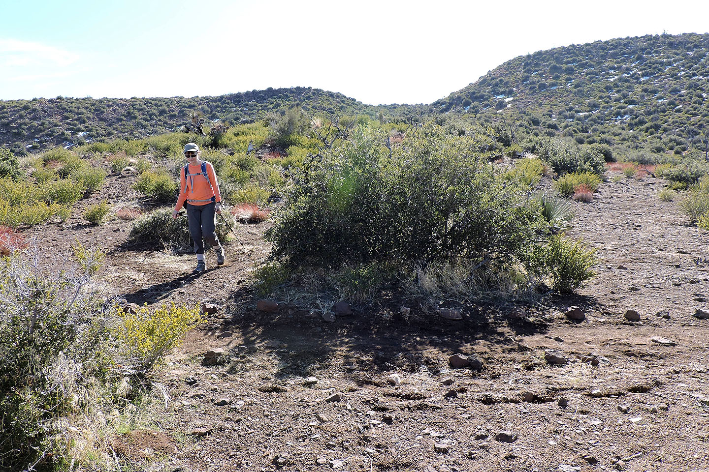
Starting along the ridge from the summit
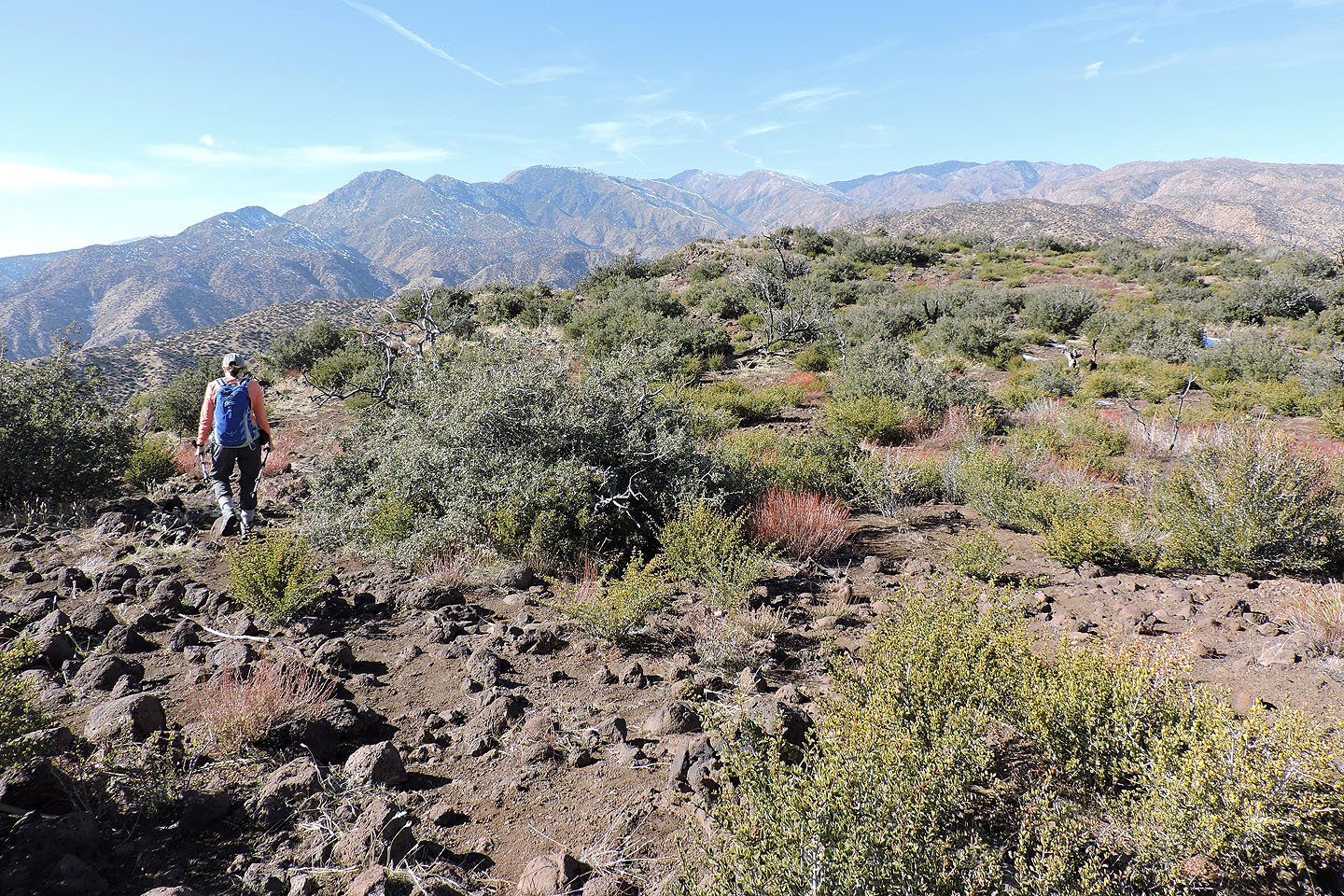
Hiking along the ridge wasn't pleasant because of desert scrub and the ups and downs
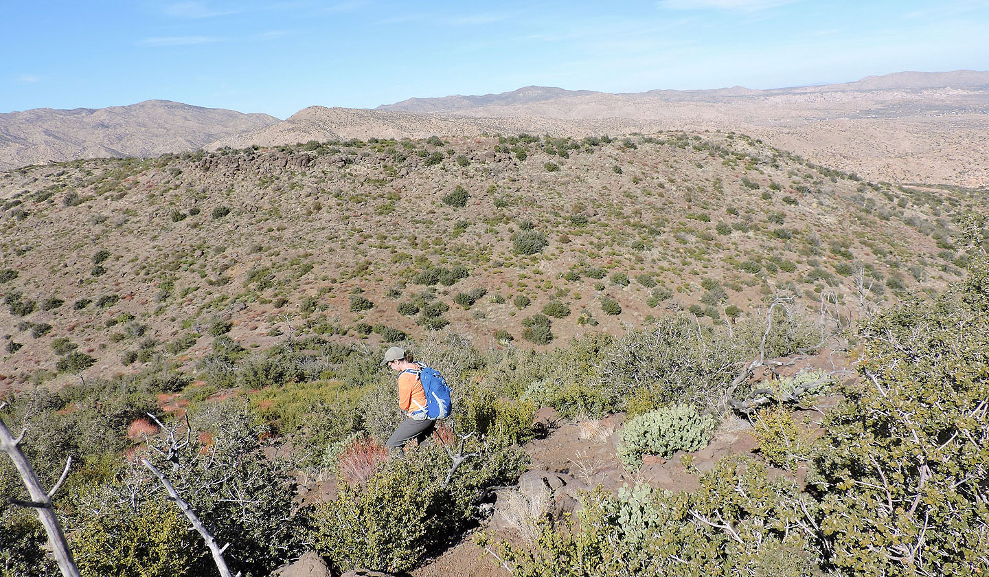
We dropped down a spur where we could get back on the Indian Loop Trail
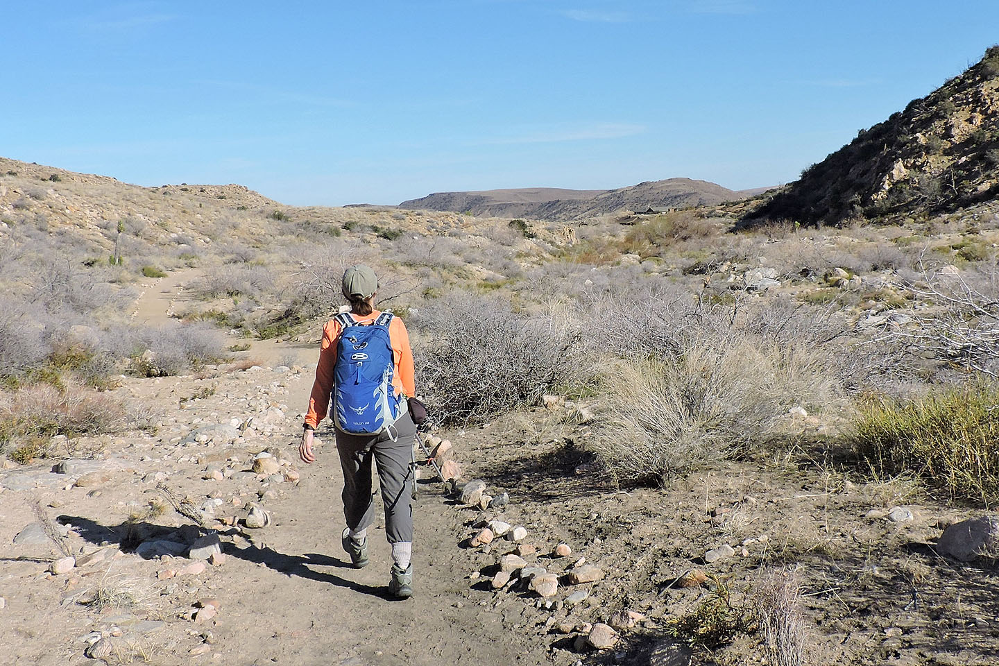
Back on the trail
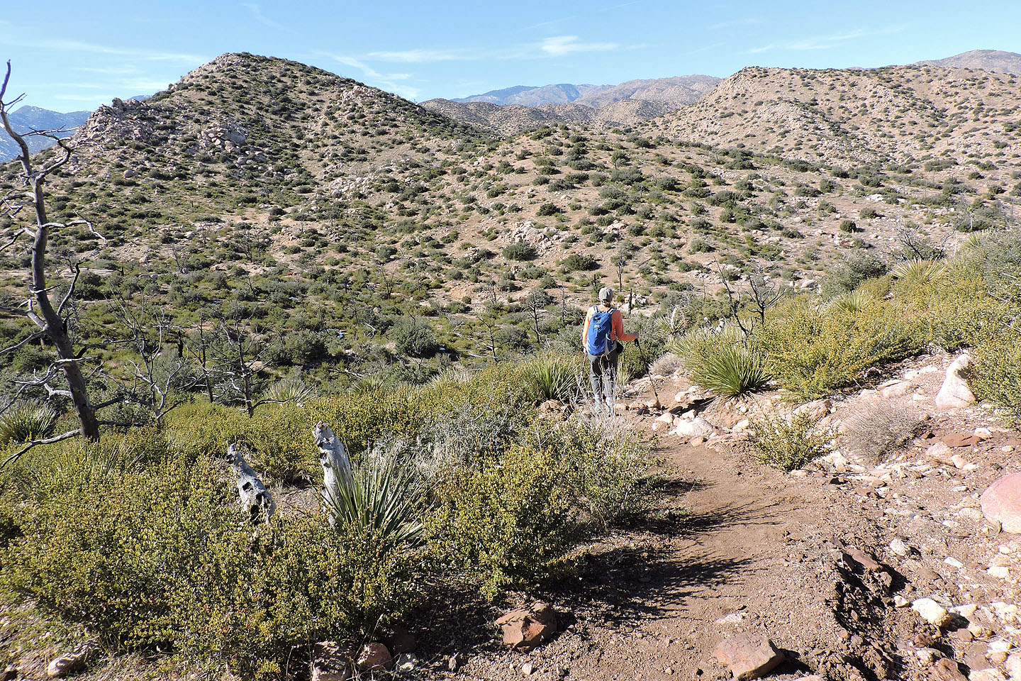
The trail crosses the ridge between the two high points ahead
The path then follows a wash down to Pipes Canyon
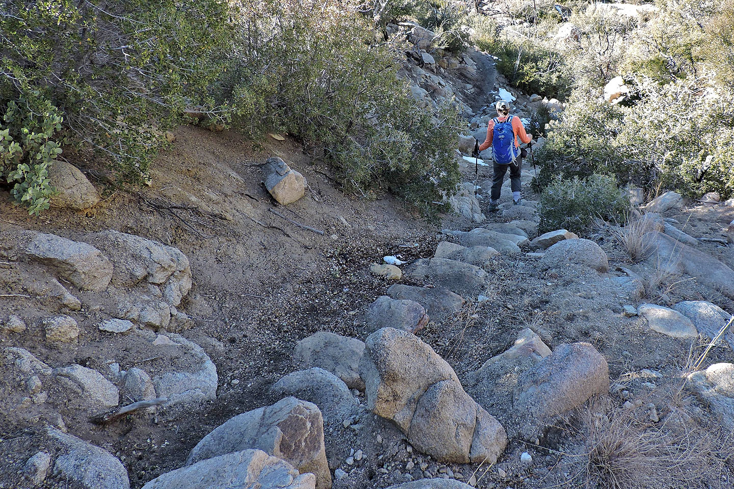
A stone stairway shows the work that was put into making this trail easy
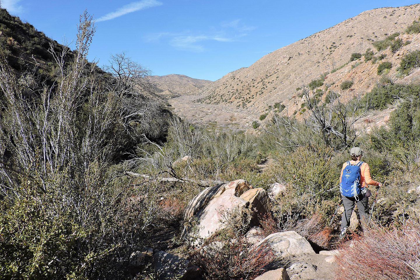
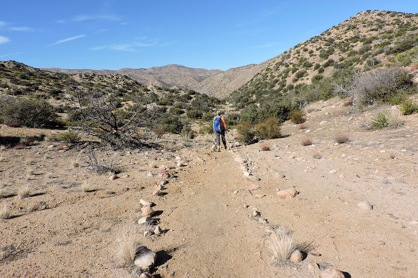
The descent trail drops down to a valley below
At the bottom we turned right and entered Pipes Canyon
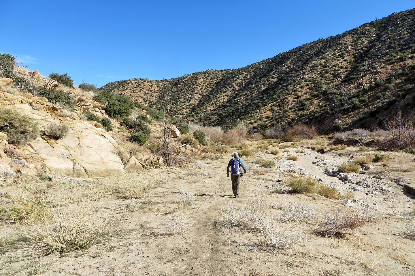
Entering the canyon
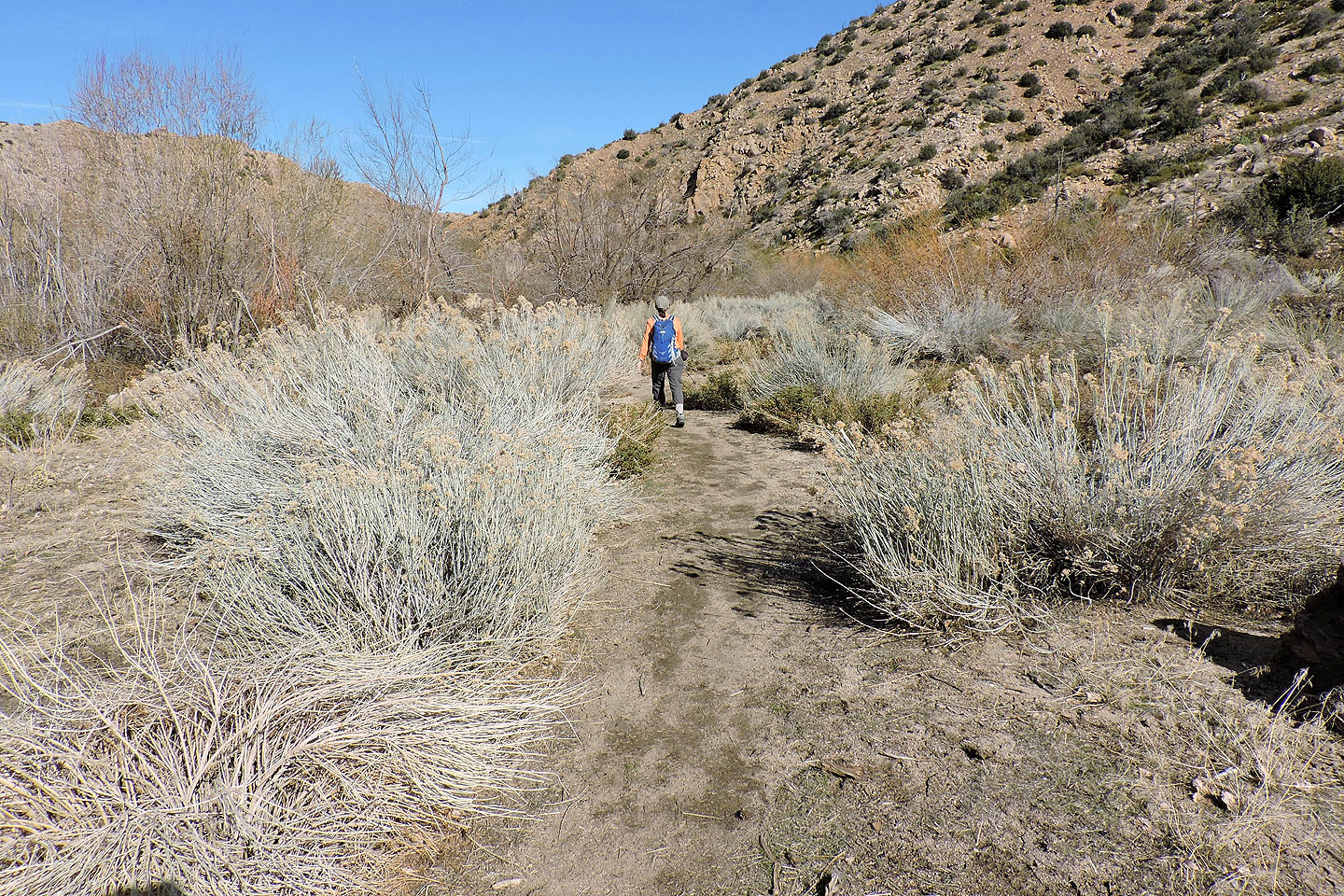
Walking through wetlands, the area was extremely bushy
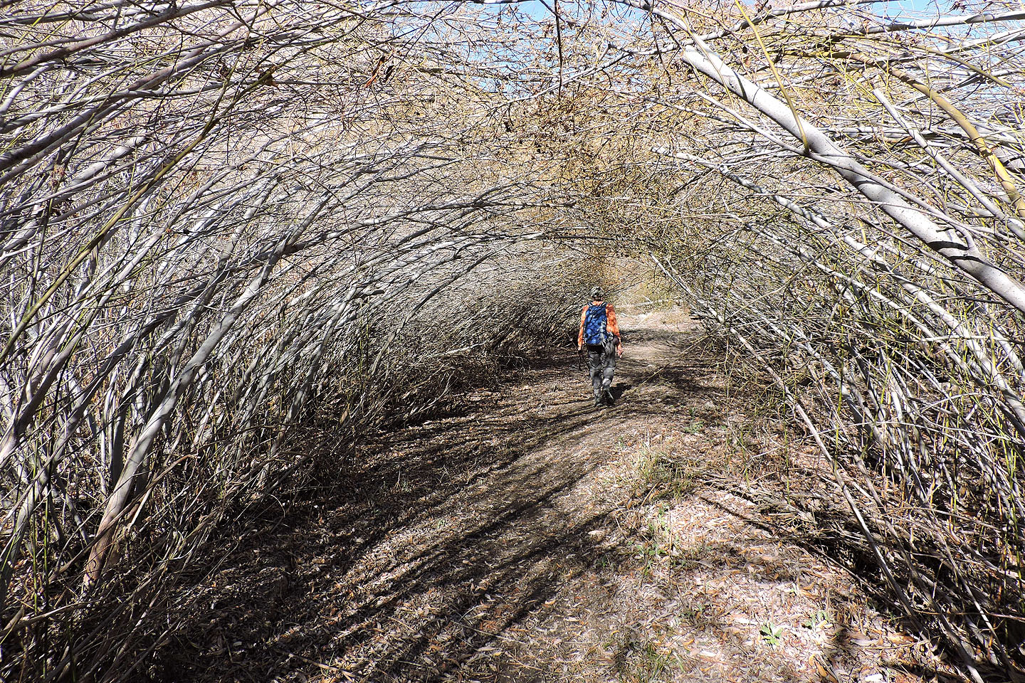
We passed through tunnels of bushes
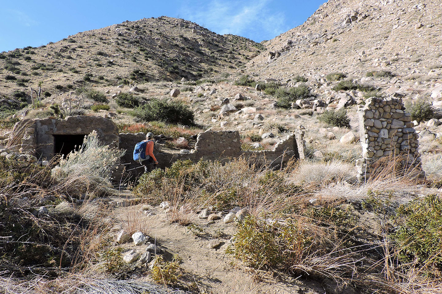
Remains of a cabin – "Olsen's Ruins" – date back to the 1920s
We're still a long way from the end of the canyon
A brief side trail leads to a rock bearing pictographs (centre, mouse over for a close-up)
Coming to the end of the canyon. The ranger station is barely visible.
 Rimrock (7.1 mi, 5505 ft, 1056 ft)