bobspirko.ca | Home | Canada Trips | US Trips | Hiking | Snowshoeing | MAP | About
Bat Caves Buttes
Salton Sea, California
February 6, 2025
Distance: 4.5 km (2.8 mi)
Cumulative Elevation Gain: 100 m (328 ft)
Bat Caves Buttes held a few attractions for Dinah and me: large caves, a view of Salton Sea, and a trailhead 59 m below sea level. After Badwater Basin (-89 m), it was our second-lowest hike. Bat Caves Buttes also has the dubious distinction of being the lowest summit we've climbed: 30 m above sea level! All this on a hike that can be done in an hour, although we couldn't resist exploring the caves and spending time on the summit. Despite the name, we never saw any bats or creatures of any kind except for a couple of birds.
We parked by the roadside near a railroad culvert an hour's drive southeast of Palm Springs. After going over the railroad embankment, we viewed the Buttes nearly 1.5 km away. Slight in elevation, they presented an unimposing profile.
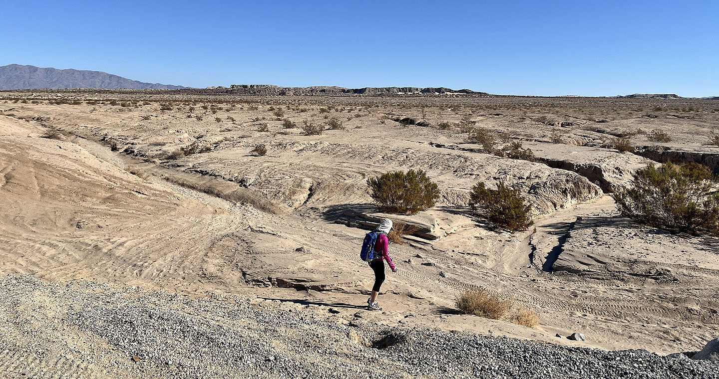
We hiked Bat Caves Buttes in a loop, albeit a long, skinny one. Beginning on an ATV trail, the route crosses the desert to the edge of the buttes. We turned left and followed the base of the cliffs. In those cliffs, we explored a few caves. They weren't deep, but they were high, well over our heads.
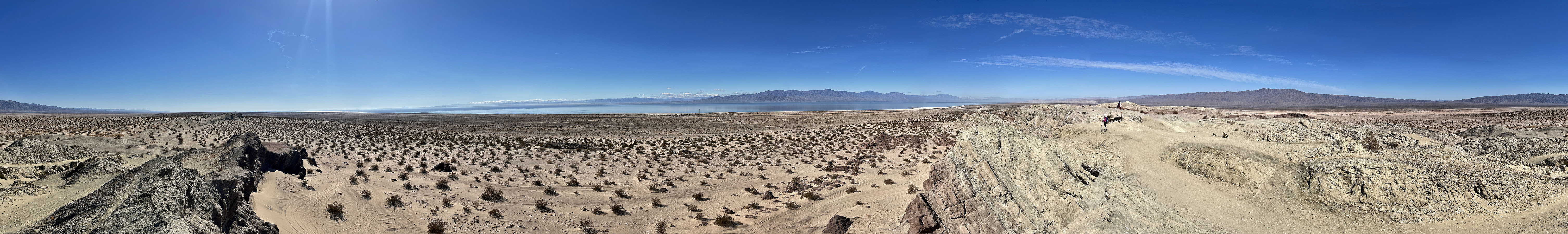
After following the cliff base and turning a corner, we hiked up to the ridge, which was so broad and smooth that ATV trails ran across it. We followed them to the summit where we found an American flag and a sturdy memorial bench. Curiously, there was also a tree dedicated to the deceased. To the southwest, lay the great expanse of the Salton Sea.
Coming down the Buttes was easy: an ATV trail quickly led back to the bottom. Like our way up, we walked along a cliff base and looked into more caves. Then we followed a sandy wash back to the railroad culvert.
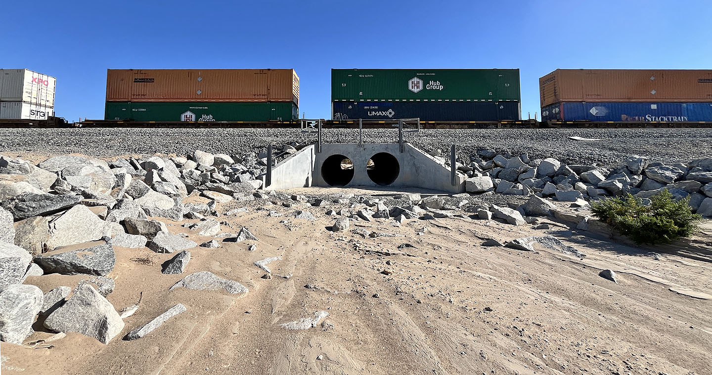 The hike begins by a railroad culvert
 From the railroad, the Buttes barely rise above the desert flats
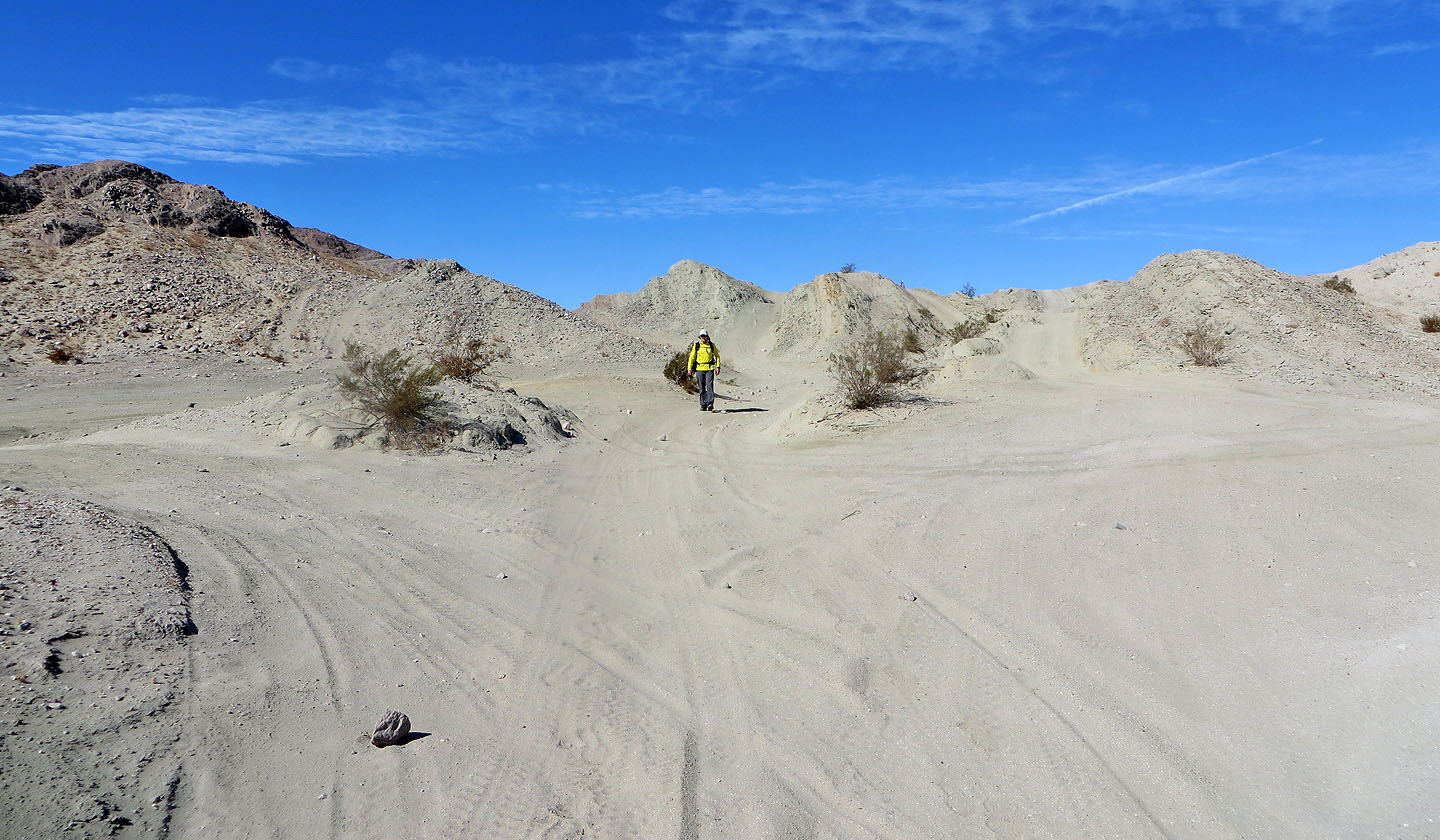
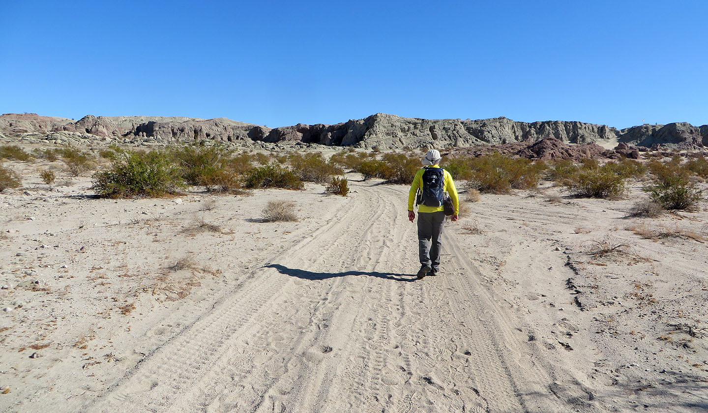 Approaching the Buttes
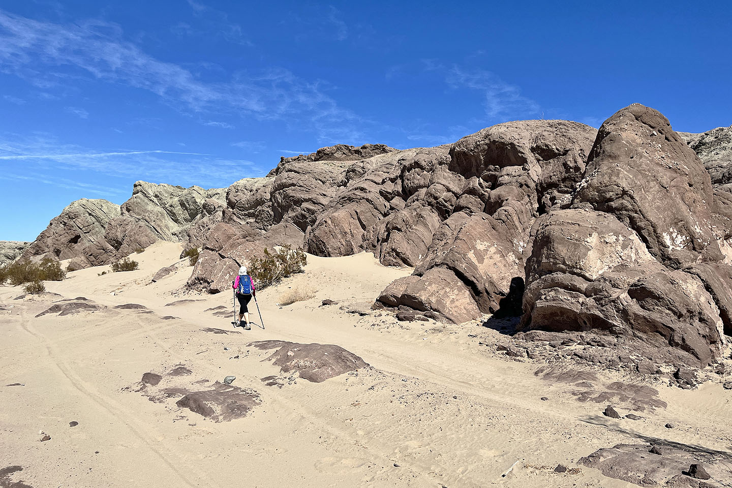
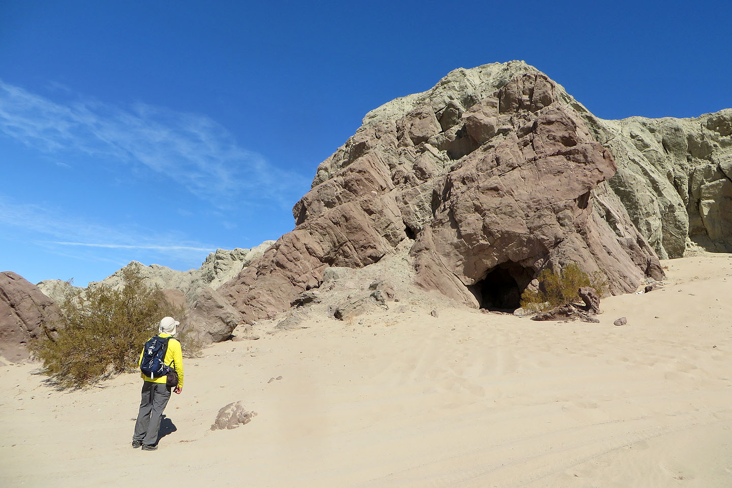
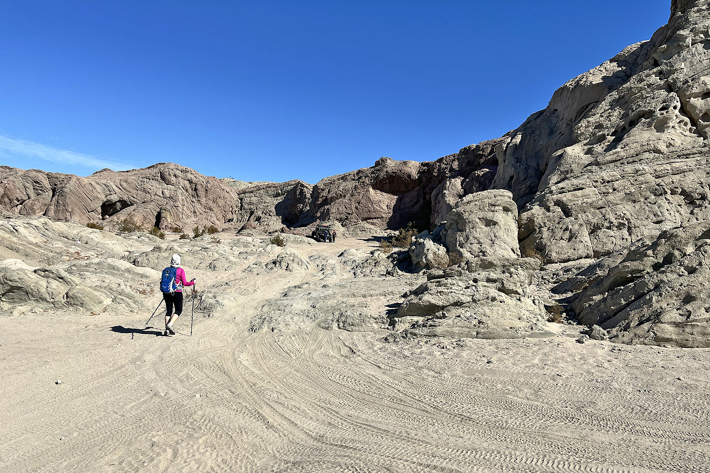 Arriving at the cliffs, we noticed an ATV
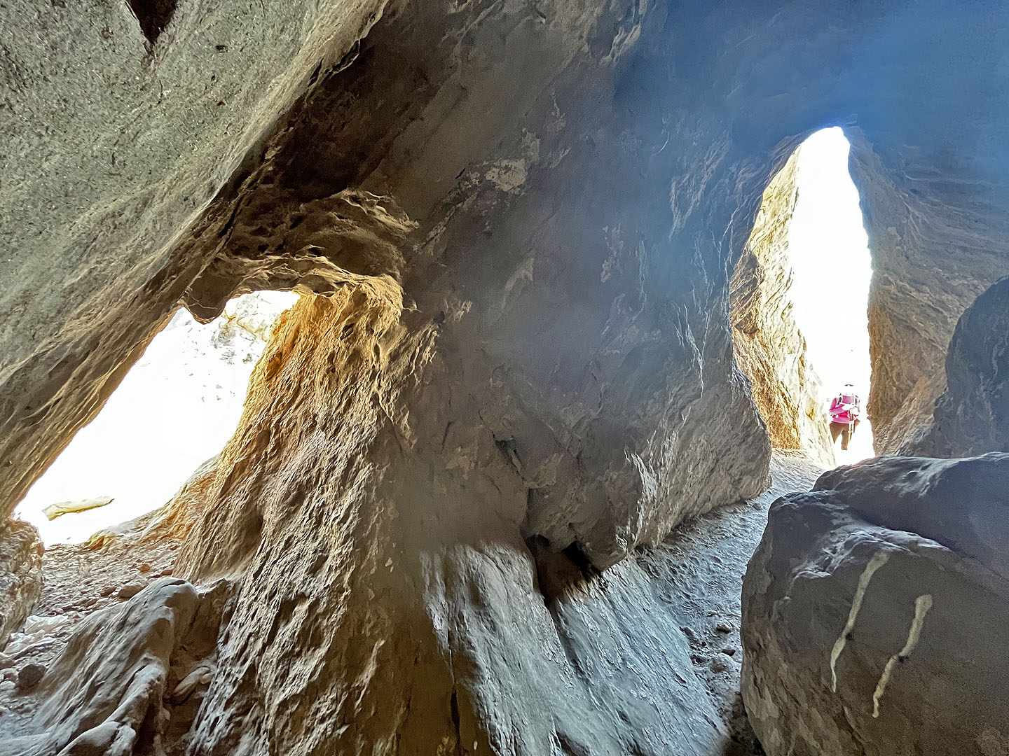
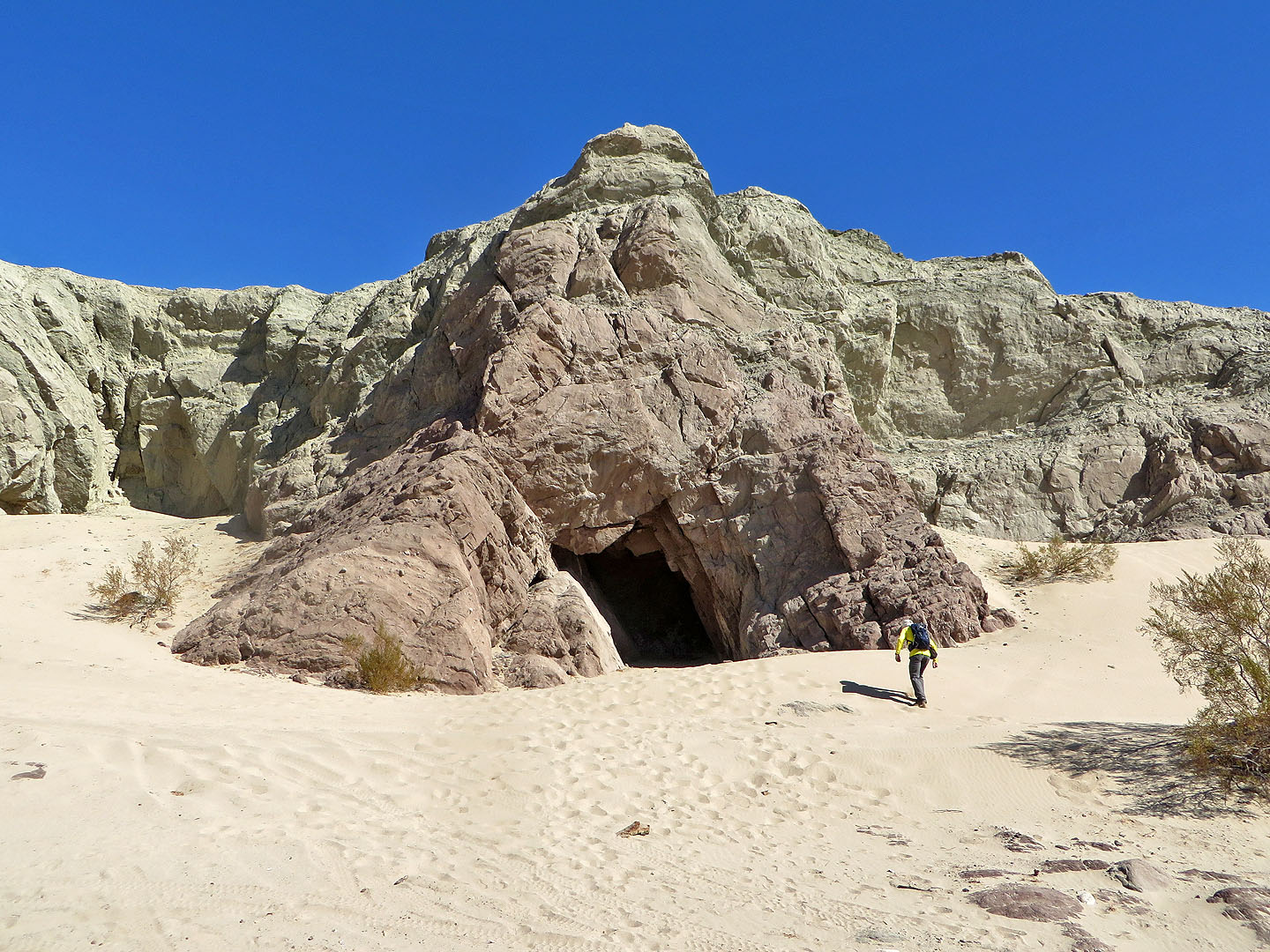
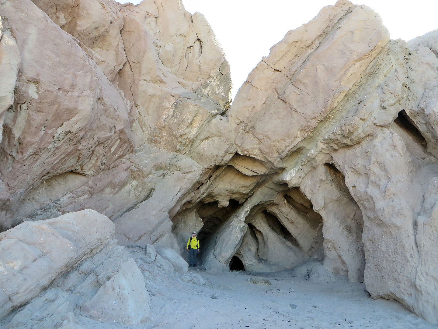 Checking out one of the caves
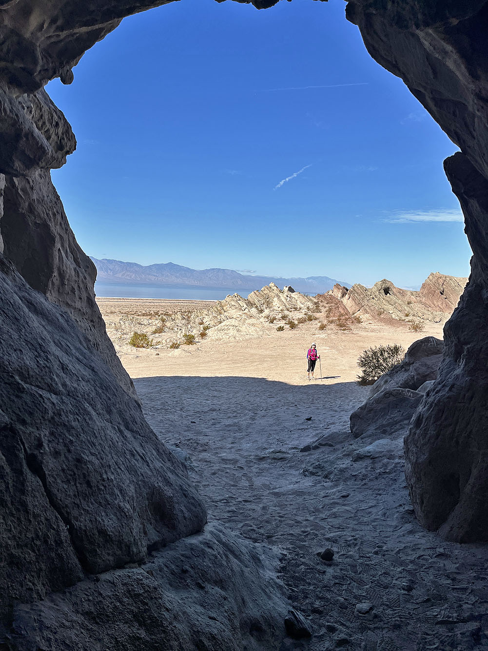
View from inside the cave
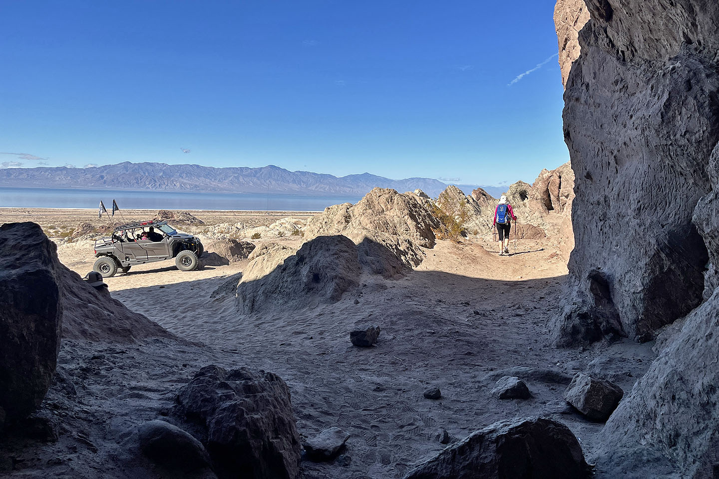 We continued along the base of the cliffs
 After entering another opening I realized it was a tunnel
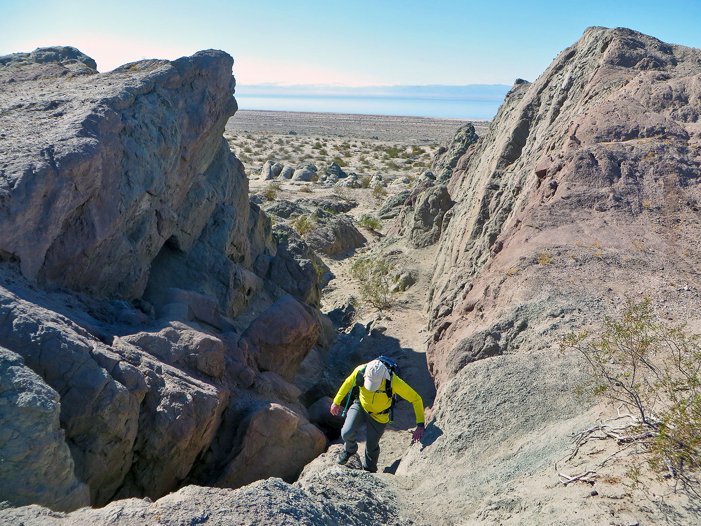
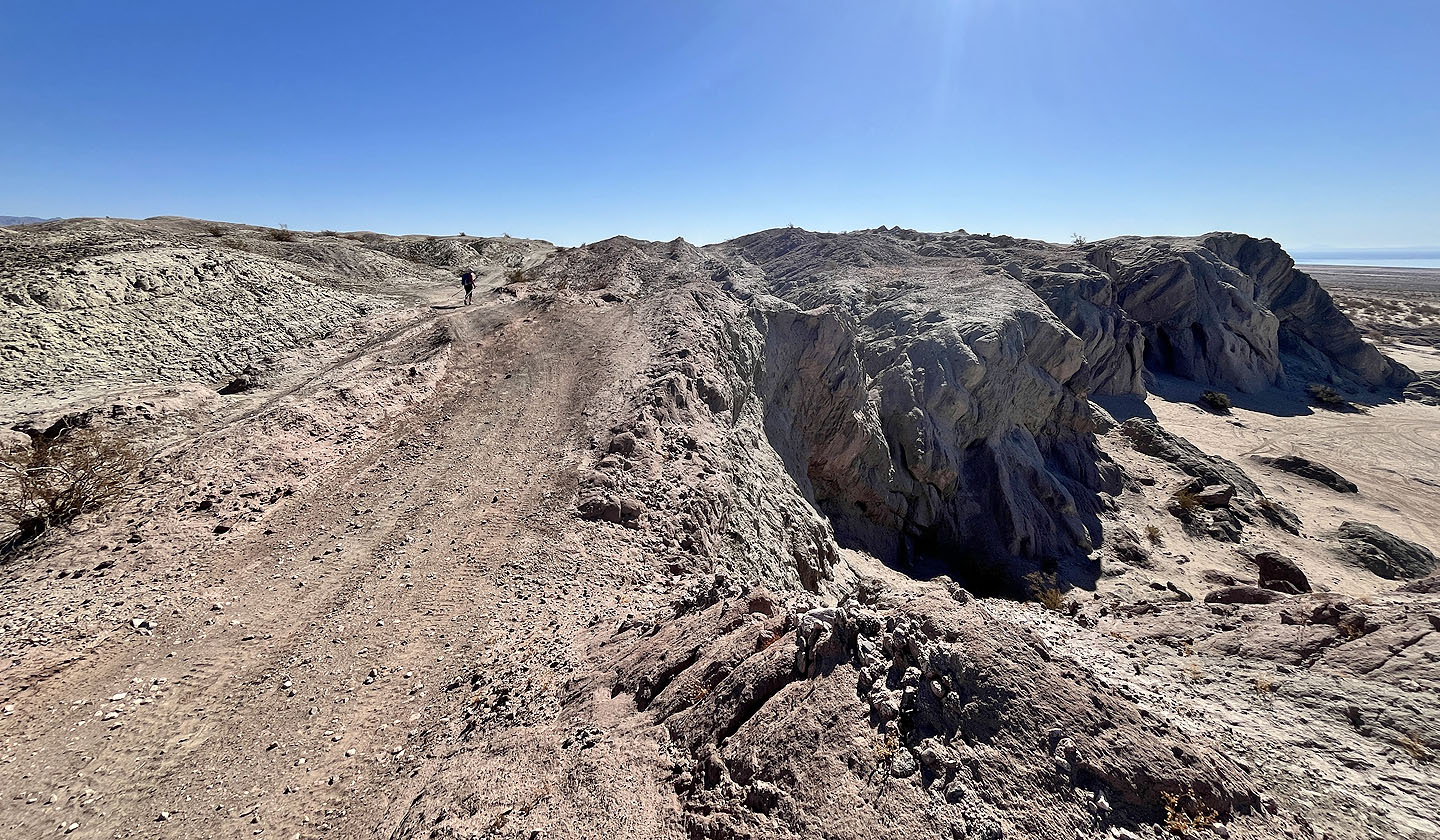
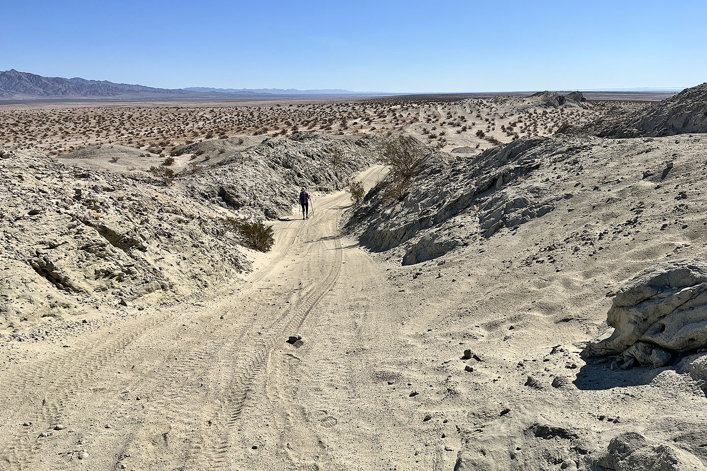
 Around the next corner, we found a way up to the ridge
 Climbing to the ridgetop
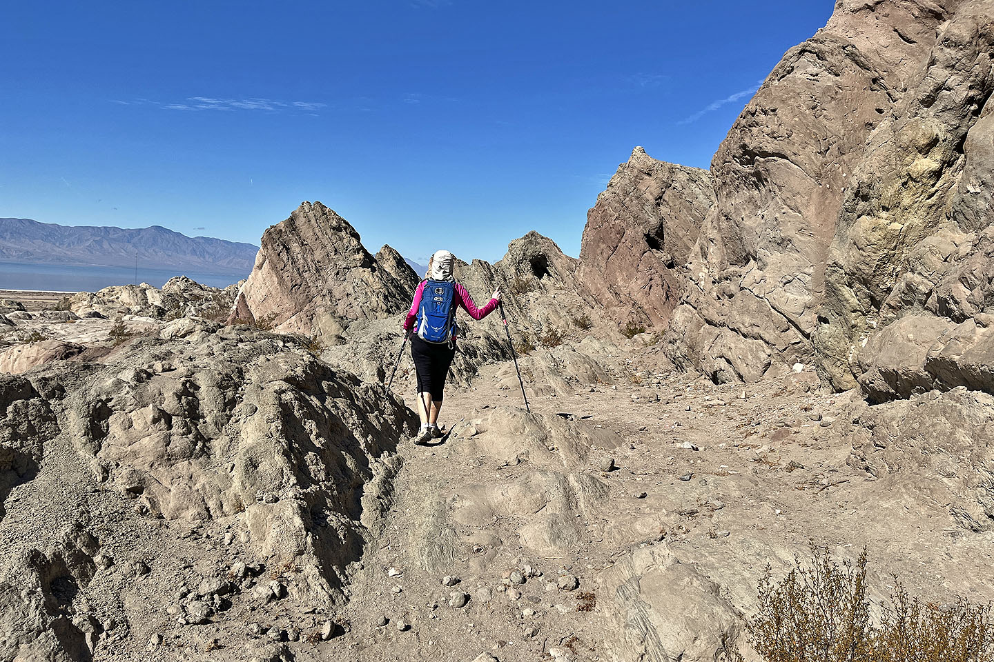
 Walking along the ridge
 We headed to the summit
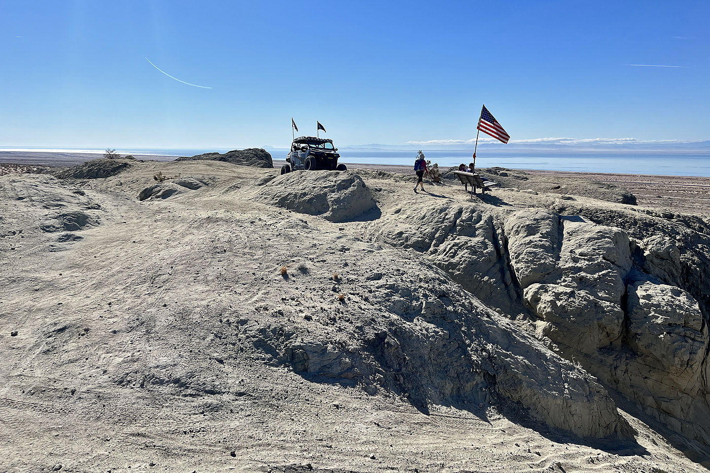 The ATV beat us to the top. The summit is the black rock behind the ATV.
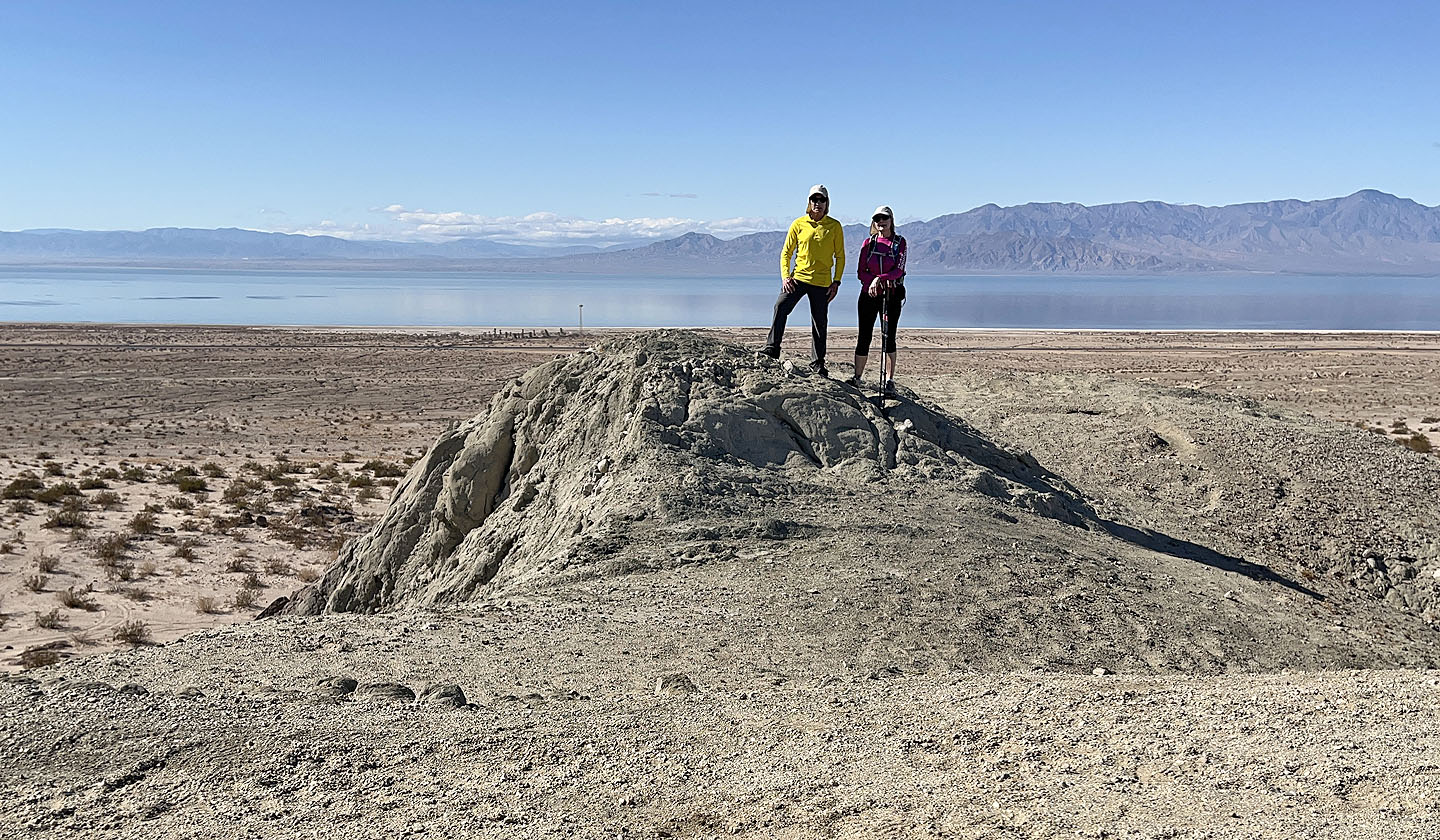 Posing with Salton Sea behind us
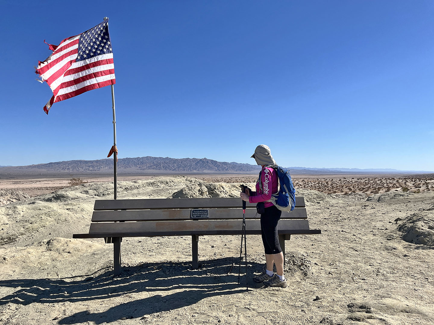 The bench displayed a memorial (mouse over to read)
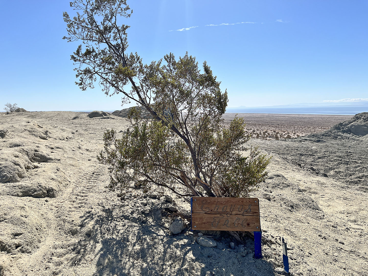 There was also a memorial tree (mouse over)
 Going down from the summit
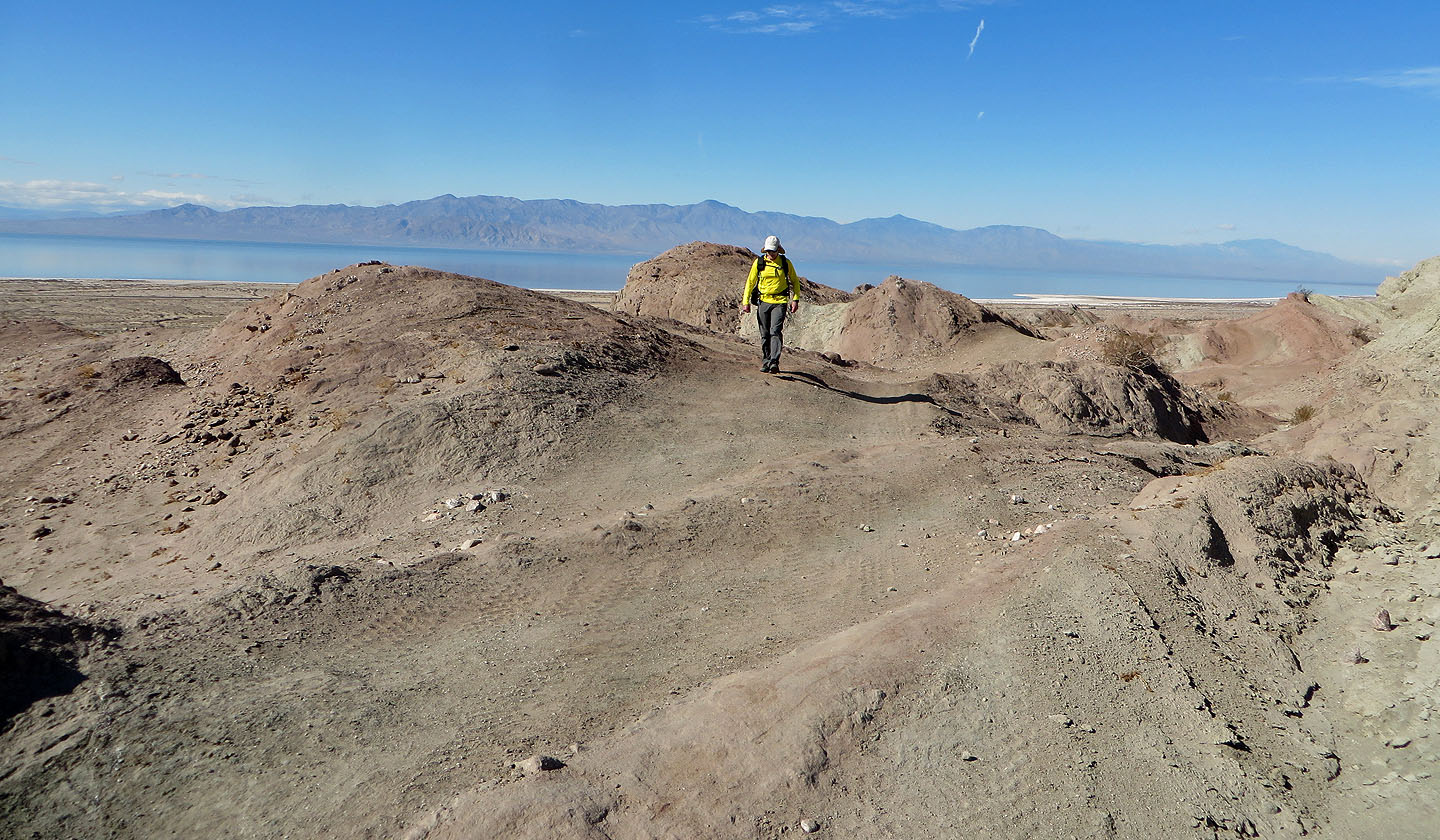
 Looking back after reaching the bottom
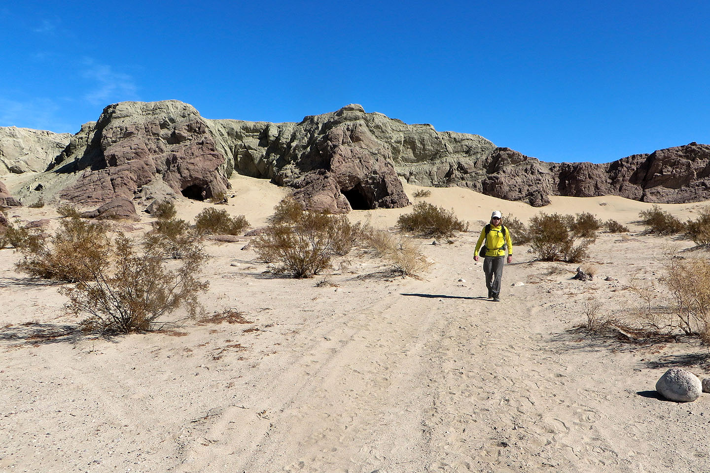
 Walking along the base of the cliffs
 Investigating a cave. Mouse over to look out of it.
 Another cave was nearby
 Heading back to our car. Behind us are the caves we explored.
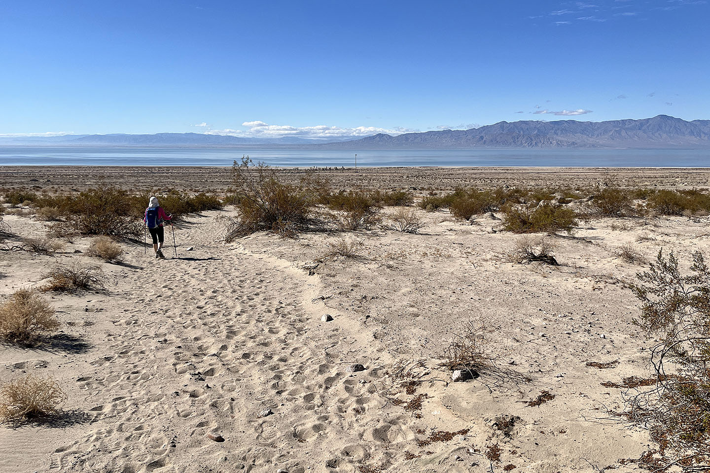 We followed a wash back. After the hike we went to see the palms trees on the lakeshore (centre, mouse over for a close-up), but a sign said "No Trespassing.Violators Will Be Arrested."
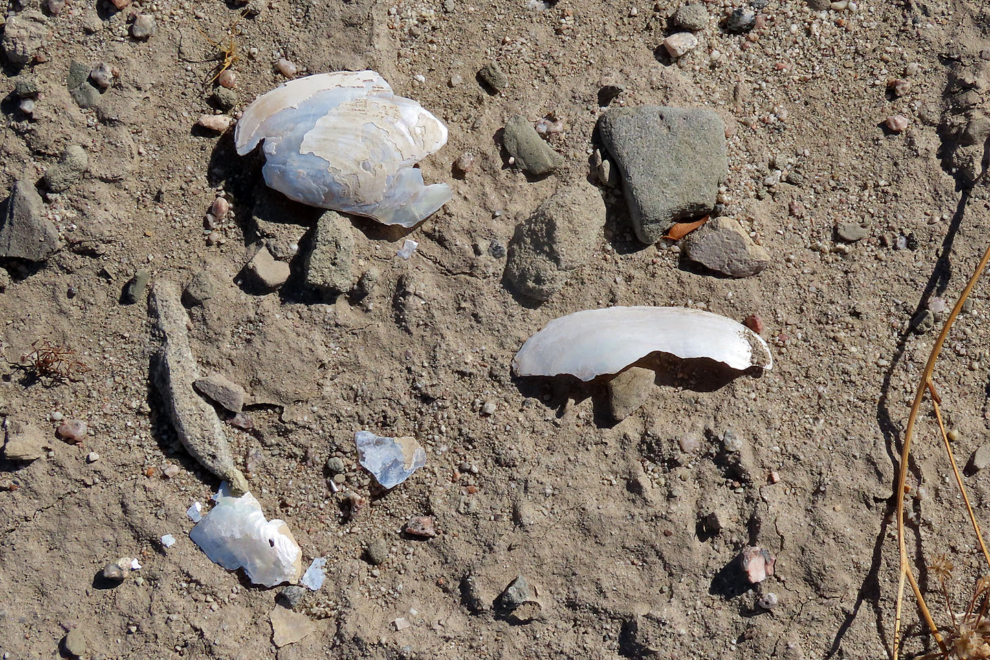 Halfway back, we noticed sea shells that suggested Salton Sea was much larger in the past
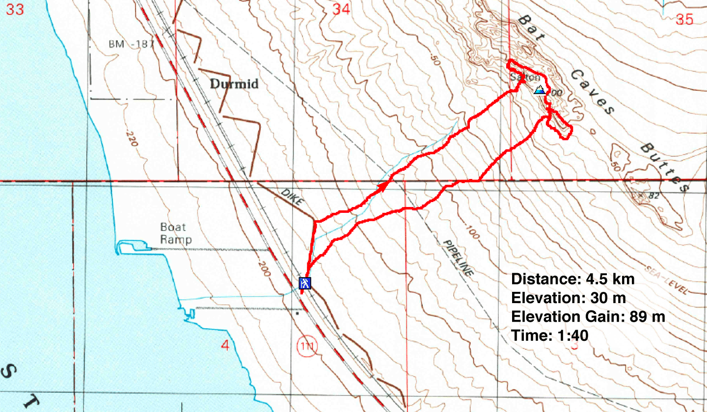 Durmid (2.8 mi, 98 ft, 292 ft)