bobspirko.ca | Home | Canada Trips | US Trips | Hiking | Snowshoeing | MAP | About
Whitford Ridge
Tonto National Forrest, Arizona
January 31, 2023
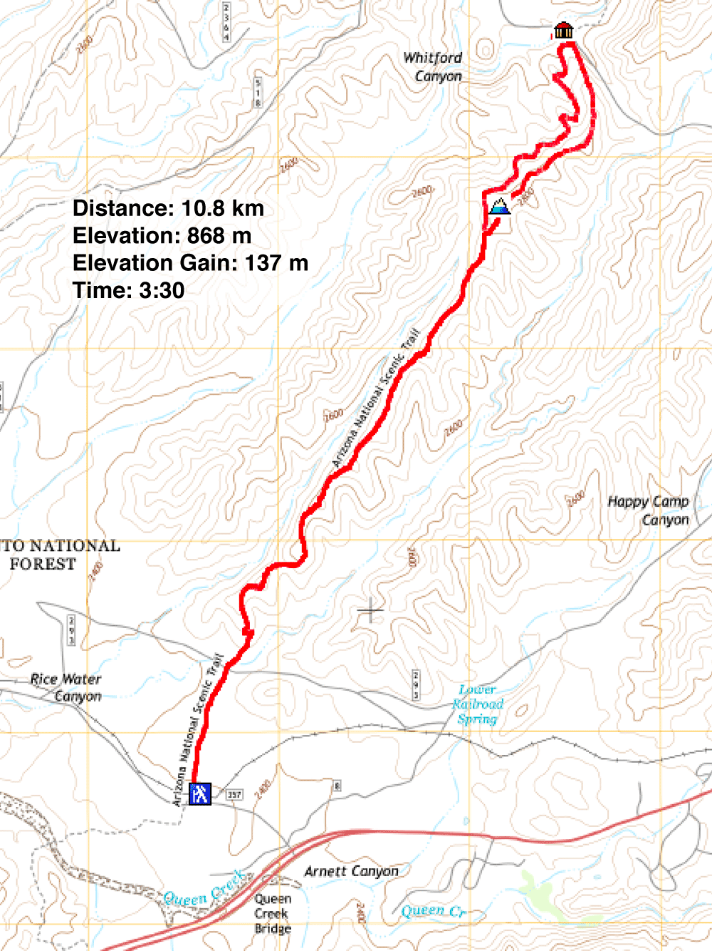
Distance: 10.8 km (6.7 mi)
Cumulative Elevation Gain: 210 m (689 ft)
Whitford Ridge was a last-minute choice thrust upon us when the forecast for Phoenix suddenly called for rain all day. We hoped the inclement weather could be avoided by doing a short hike far east of the city. From our hotel in Mesa, a large suburb east of Phoenix, Dinah and I drove an hour down Superstition Highway and turned onto a graded road. The short drive to a trailhead is suitable for sedans.
For our trip, we used the 1300-km-long Arizona Trail, but not the whole thing! Our trail follows a ridge for a few kilometres before dropping into Whitford Canyon. The ridge is unnamed, but it seemed suitable to call it Whitford Ridge. We would climb the ridge and drop into Whitford Canyon to visit a historical site, said to be the remains of a jail or a stagecoach stop.
The trail crosses level terrain, past peculiar cactus called chain-linked cholla, before climbing the end of Whitford Ridge. The trail follows the slightly undulating ridge for a few kilometres. Although low, the ridge offers far-reaching views. Behind us, for instance, the dark shape of Picketpost Mountain struck a brooding pose, rising well above Whitford Ridge. But the desert tranquillity was often broken by the sound of military jets roaring far above us. Occasionally they let loose sonic booms. A few dark clouds floated past, but it never rained.
Arizona Trail departs the ridge just before the summit. So we left the trail and continued along the ridge a short distance to the top. The slight summit bump lacks distinction and is entirely bland, and we continued over the top to a road. The road follows the ridge as it curves down to meet Arizona Trail in Whitford Canyon. It wasn't, however, much of a canyon.
The road bends left, but we continued ahead a couple of dozen metres and found the jail or whatever it is. After inspecting the stone-walled structure, we walked down to a beautiful stream before turning around. We went back up the road a bit and turned onto Arizona Trail. We followed the trail as it meanders slopes below the ridge. Finally we returned to the point on the ridge where we had left the trail, and ambled back to our car, finishing a pleasant, laid-back hike.
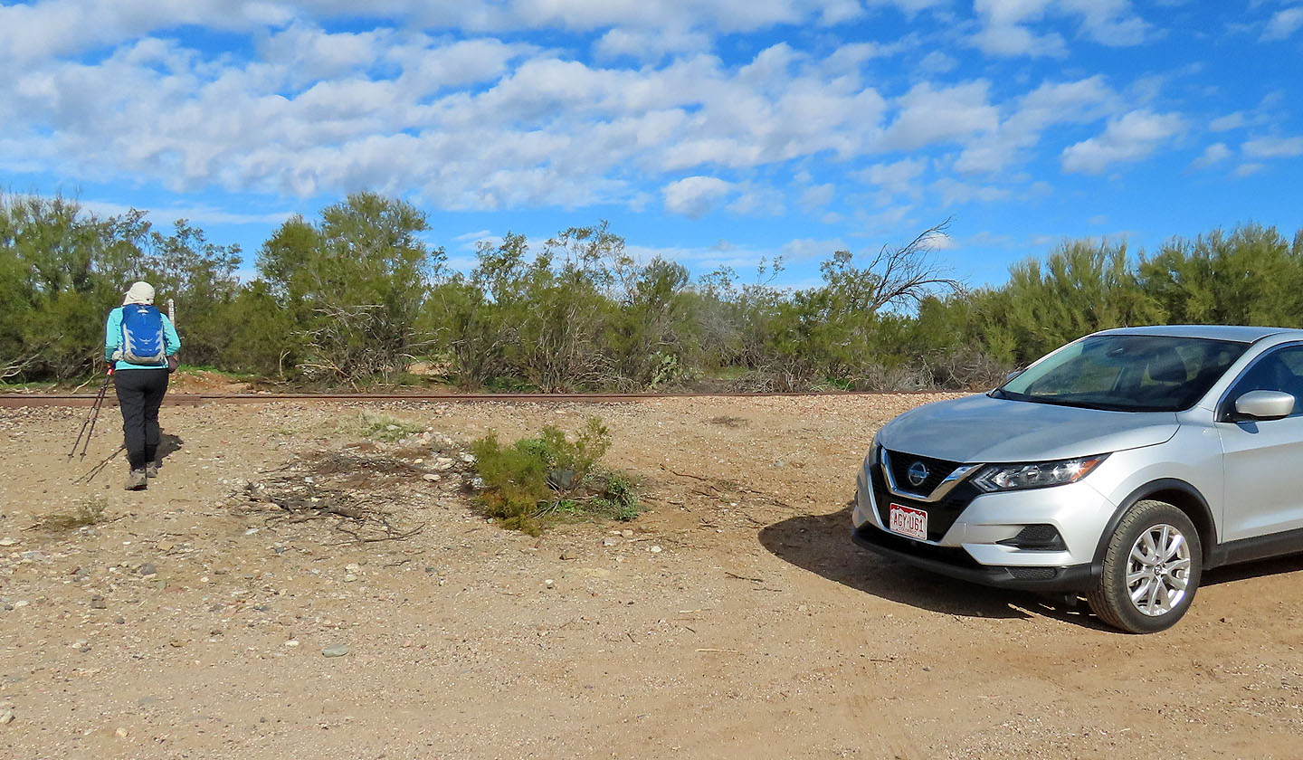
The trail begins on the other side of railroad tracks
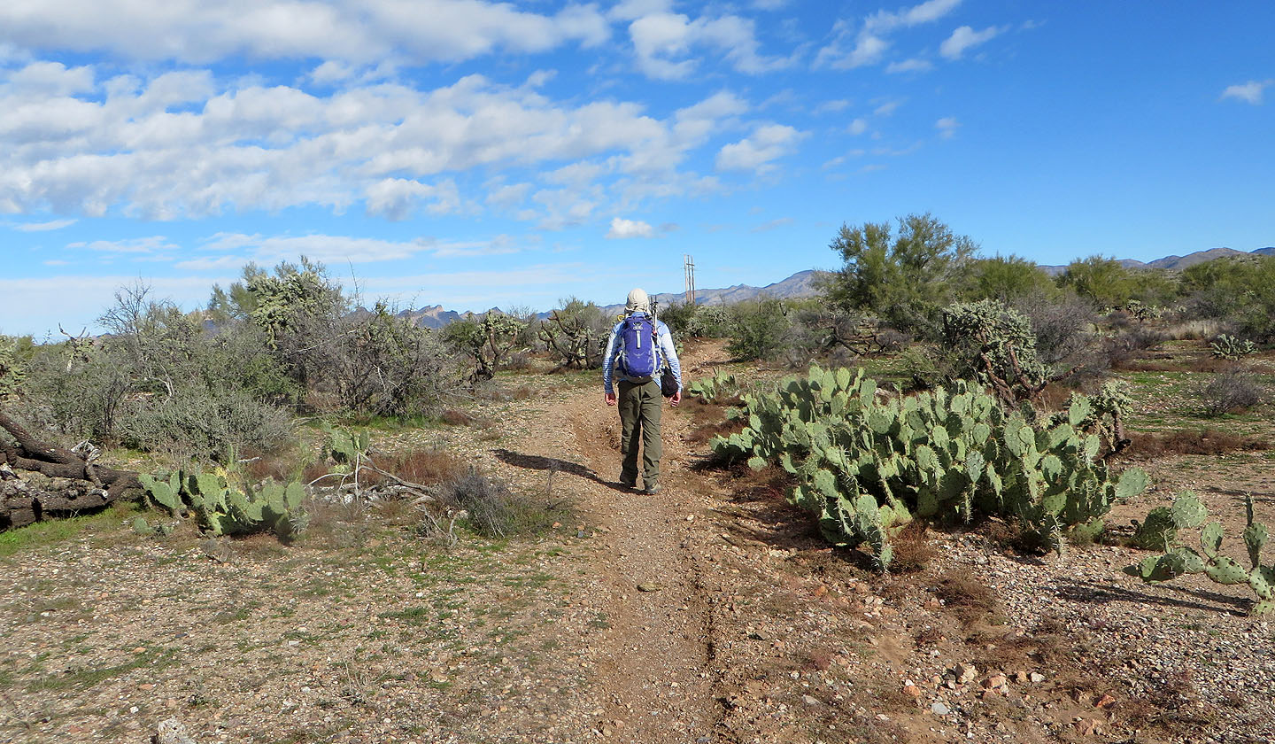 Hiking on the trail
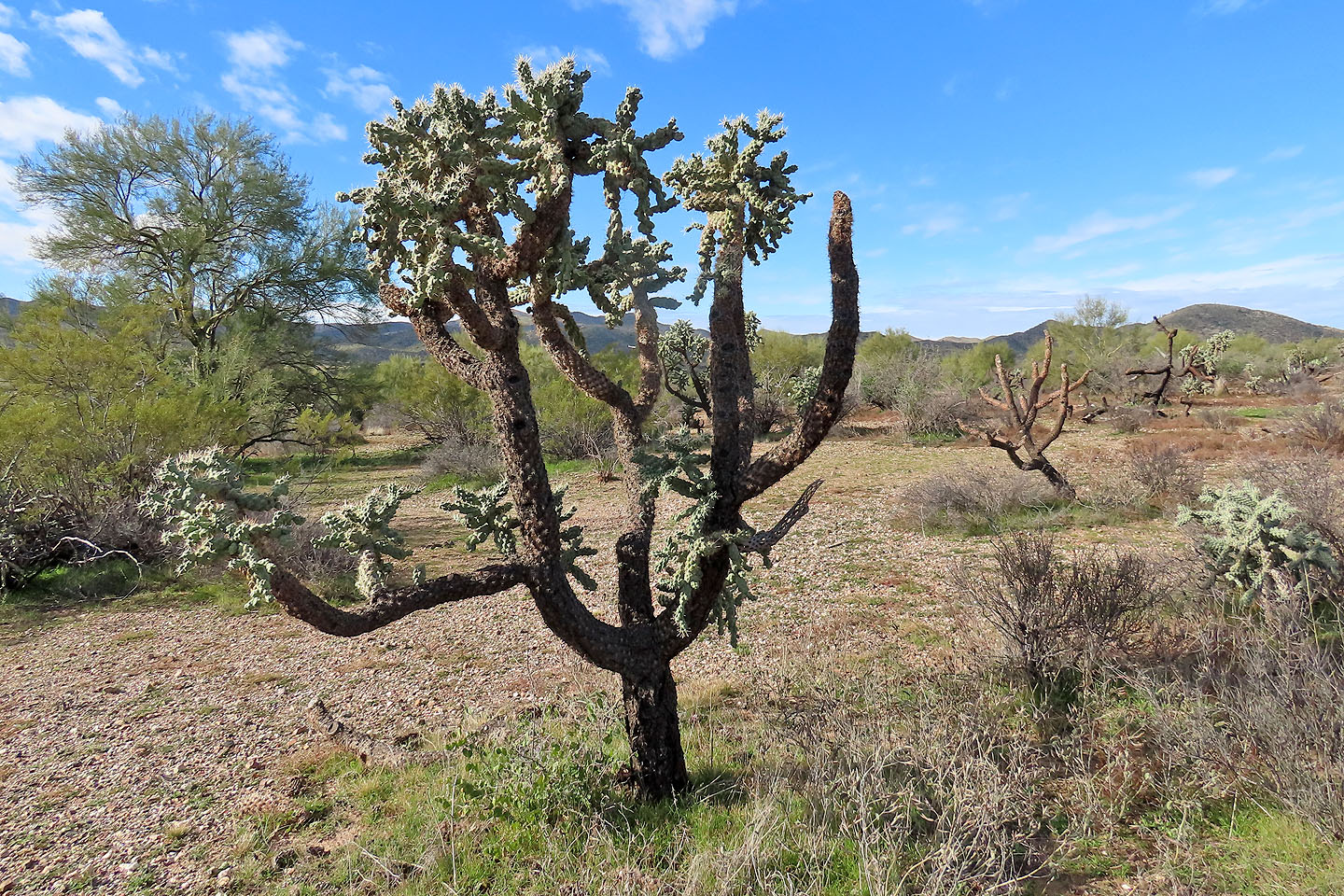
Near the start we noticed cactus with lumpy branches called chain-linked cholla (mouse over)
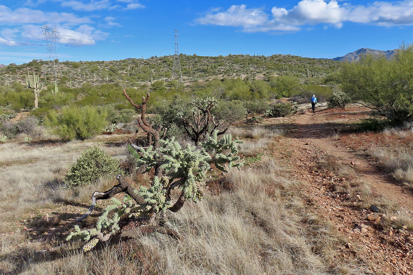
Whitford Ridge ahead
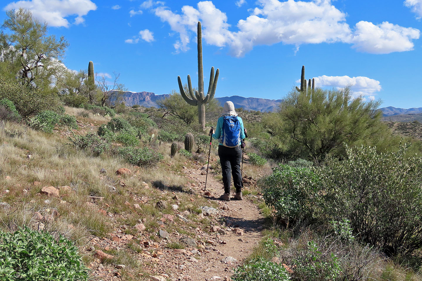
Going up the ridge
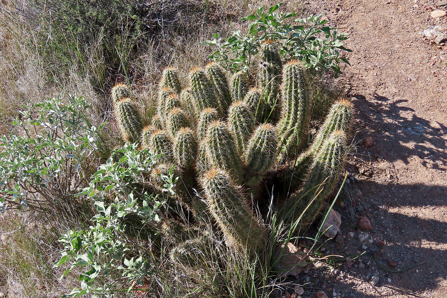
Hedgehog cactus beside the trail
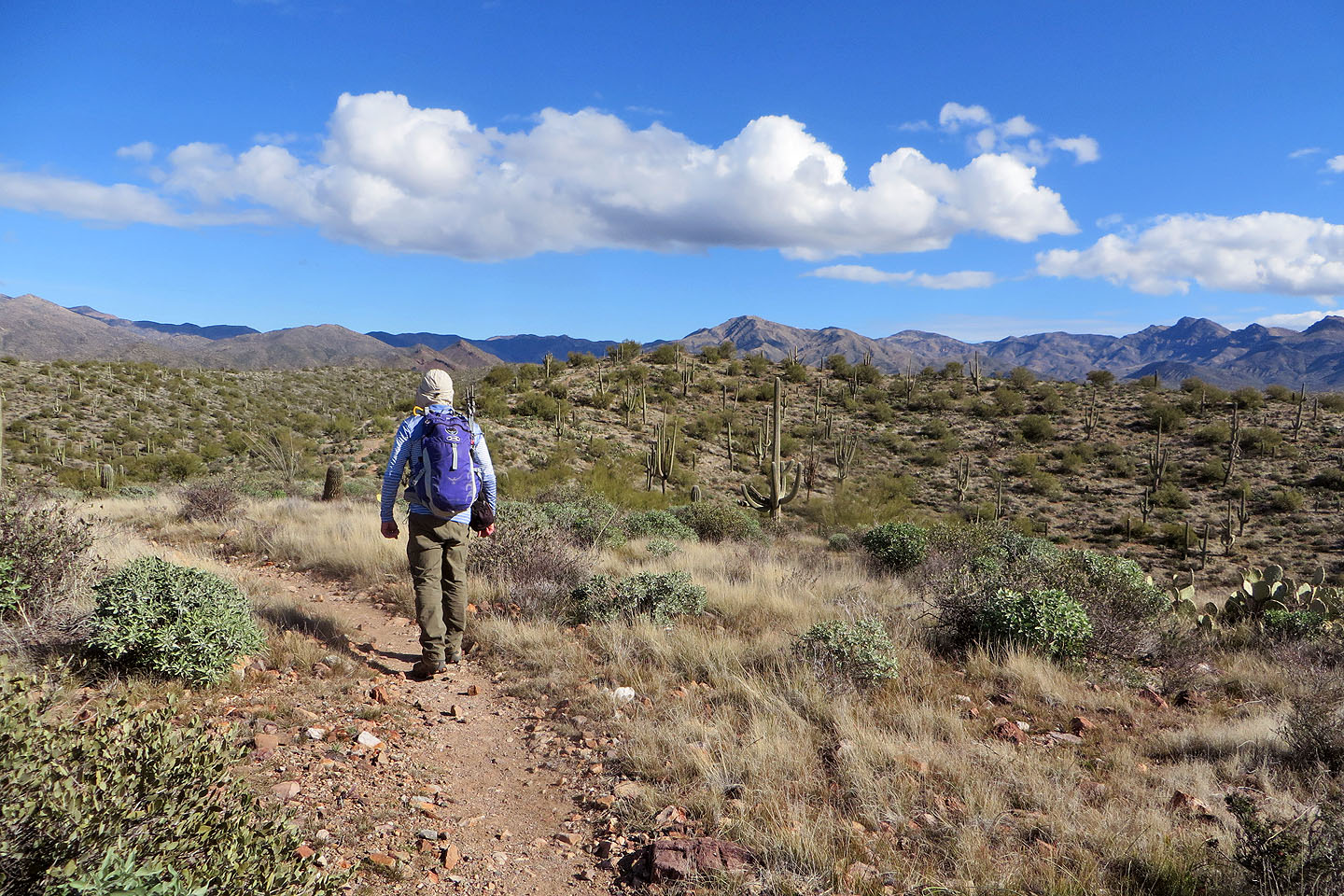
The trail follows a long ridge with slight dips and rises
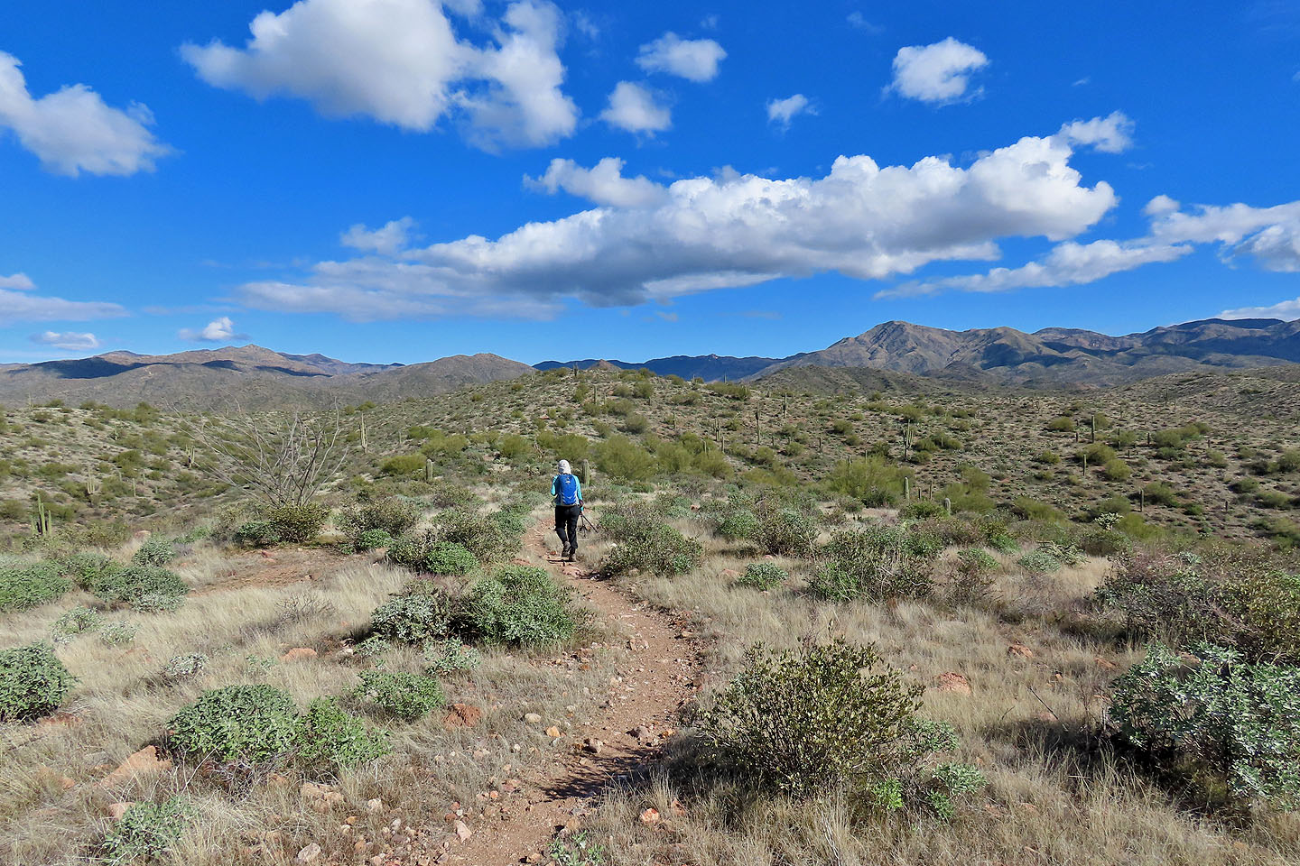
One bump on the ridge looks much the same as the next, and the summit doesn't stand out
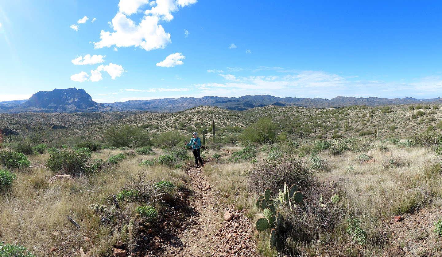
Looking back. Picketpost Mountain on the left.
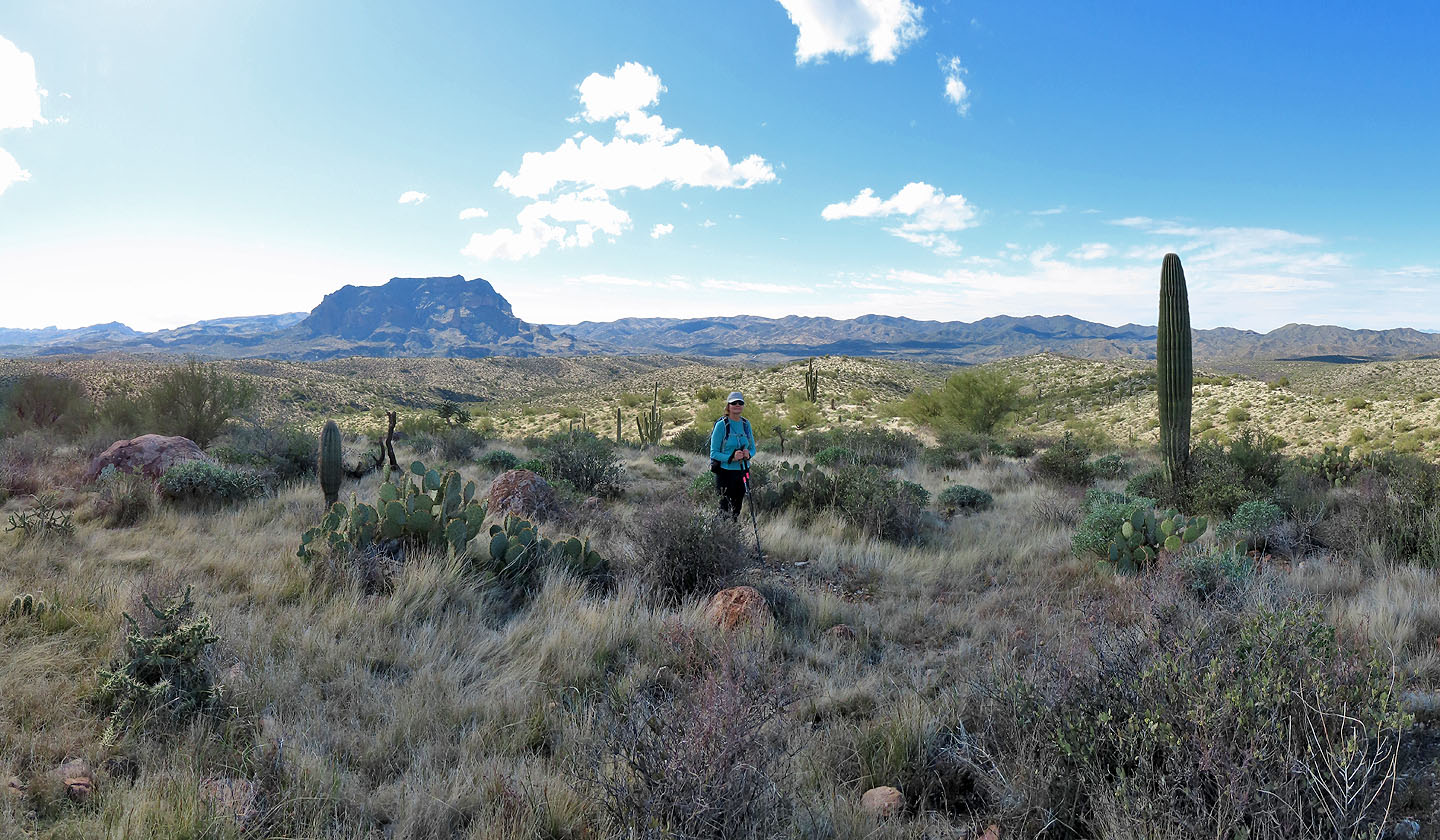
The highest point didn't distinguish itself on the ridge
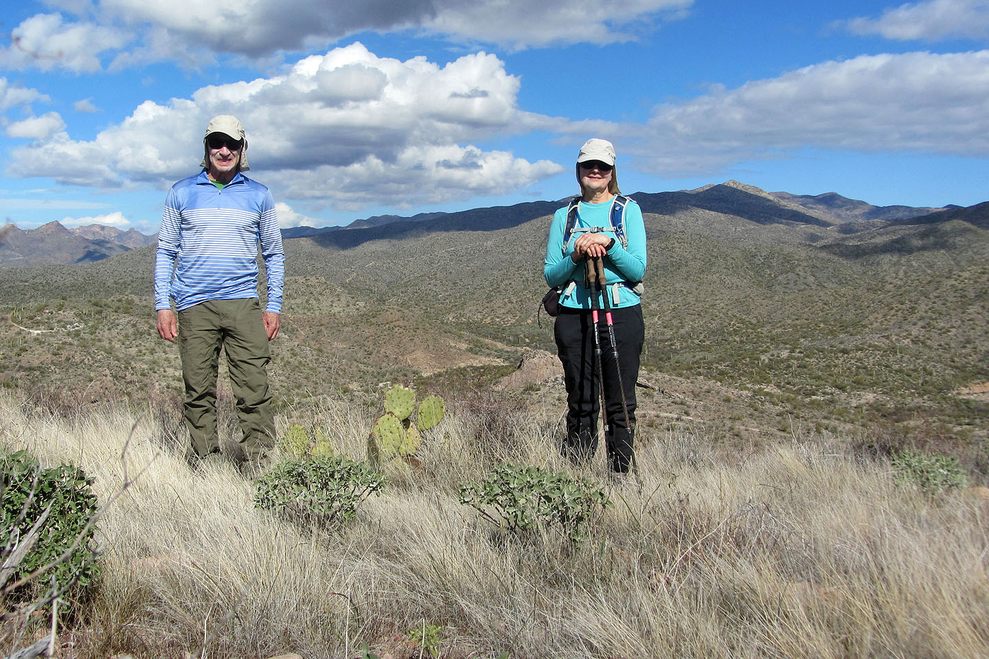
Standing on top of the ridge
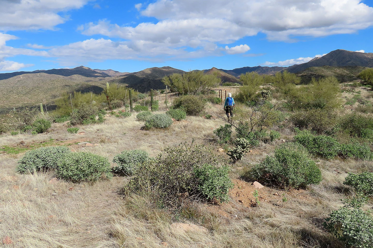
A faint trail from the summit leads to a gate
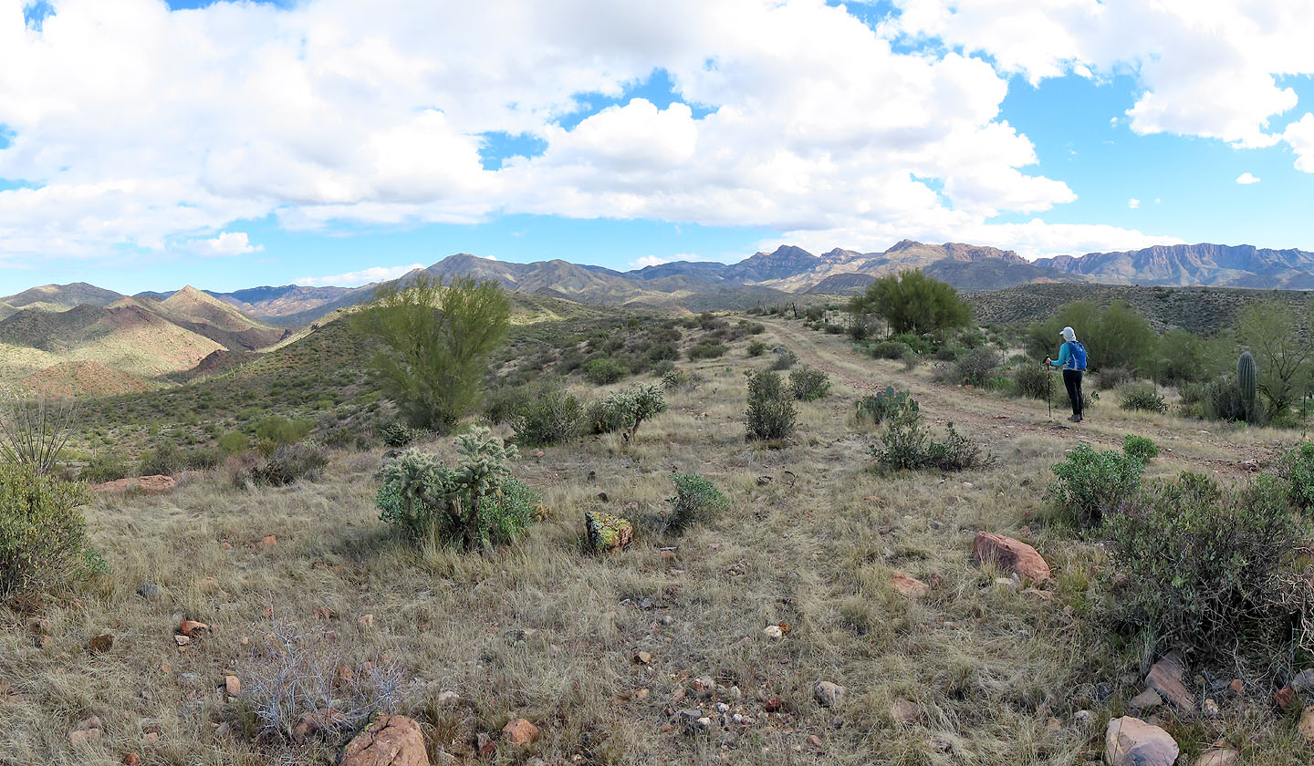
After the gate we followed the road down to the ruins
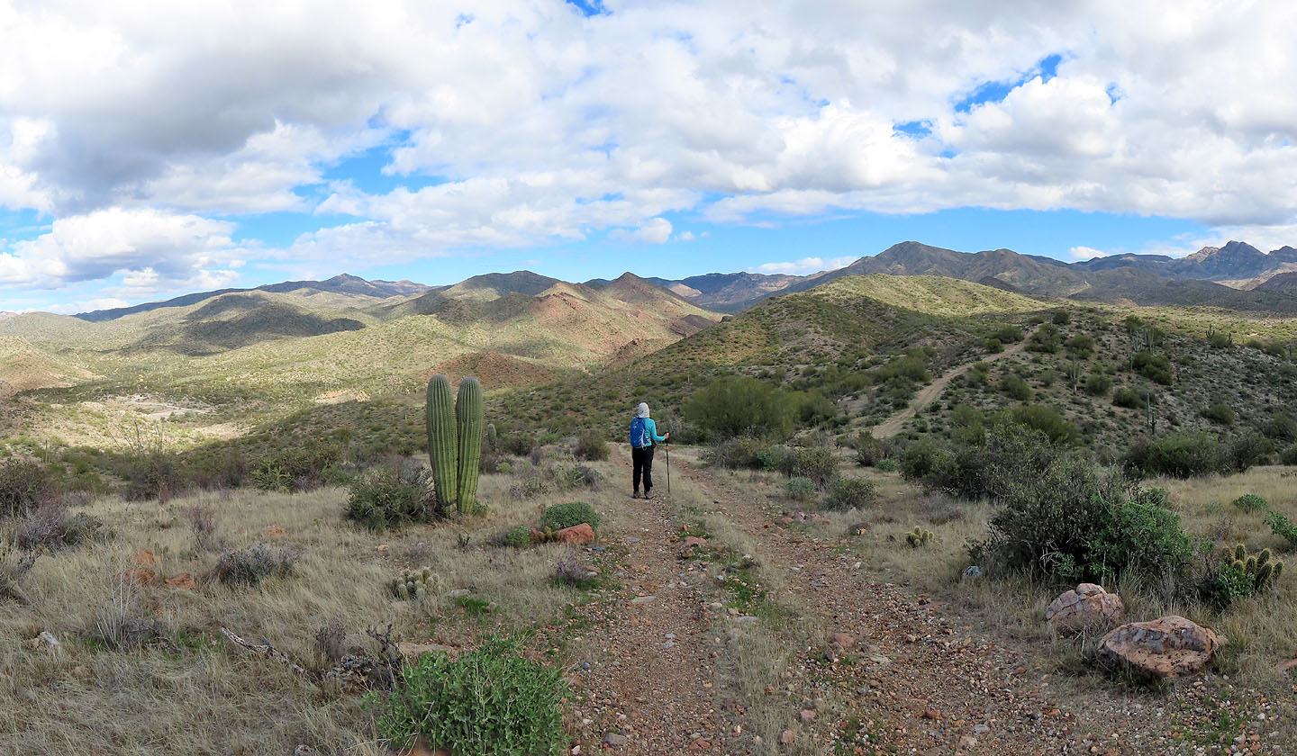
The road runs to the valley below
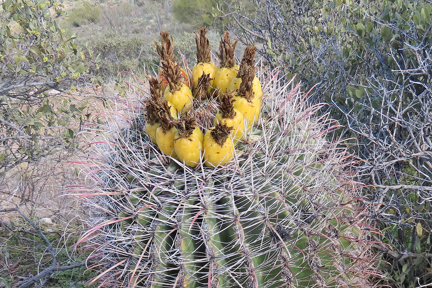
We didn't try, but the fruit of barrel cactus is said to be "perfectly edible raw" and "light and lemony"
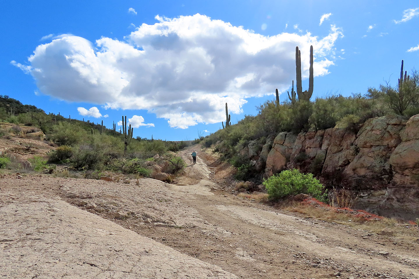
Looking back as Dinah reaches the bottom of the road. Arizona Trail is about where Dinah is. The ruins are 25 m behind me but hard to spot unless you are on top of it.
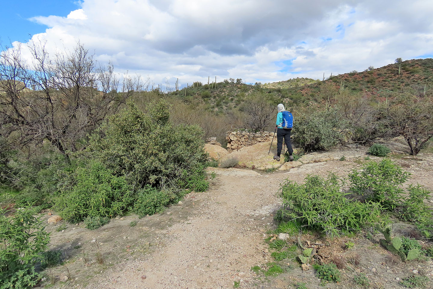
Dinah looks down at the ruins
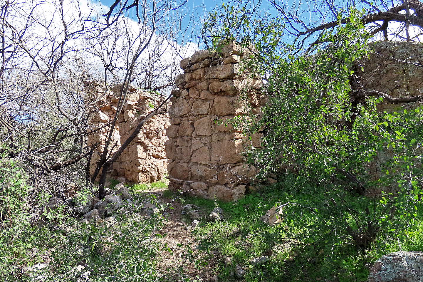
I went around to enter the doorway
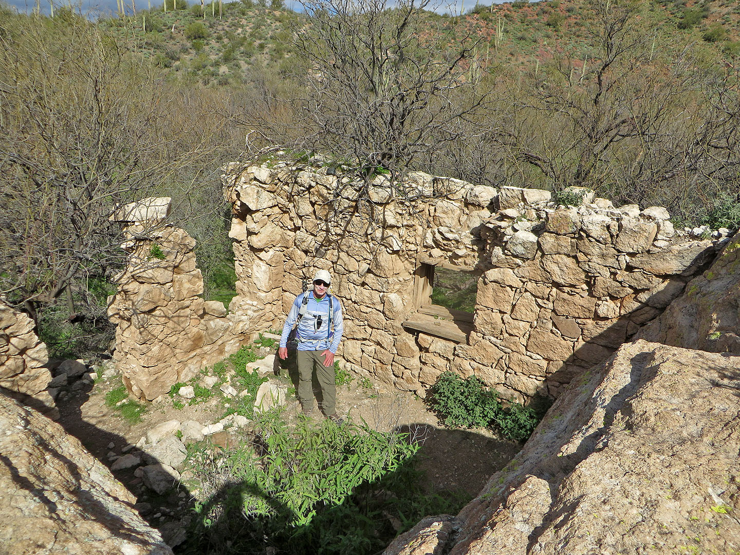
Standing in the stone structure
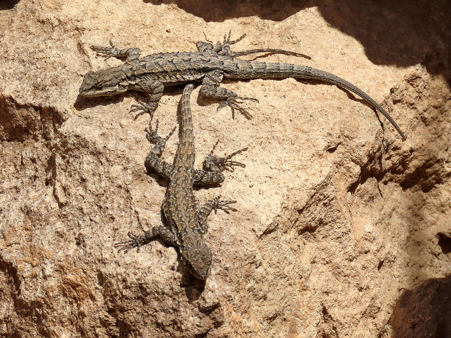
Spiny lizards clung to the wall. I've seen hundreds of lizards, but it's the first time I've seen two together. Wonder what they're doing?
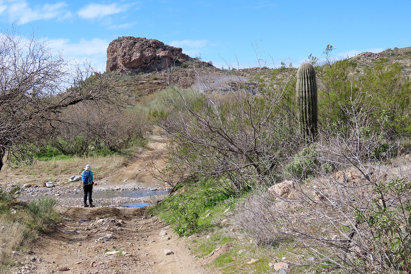
We walked down the road a bit to see a stream, an unusual sight in the desert
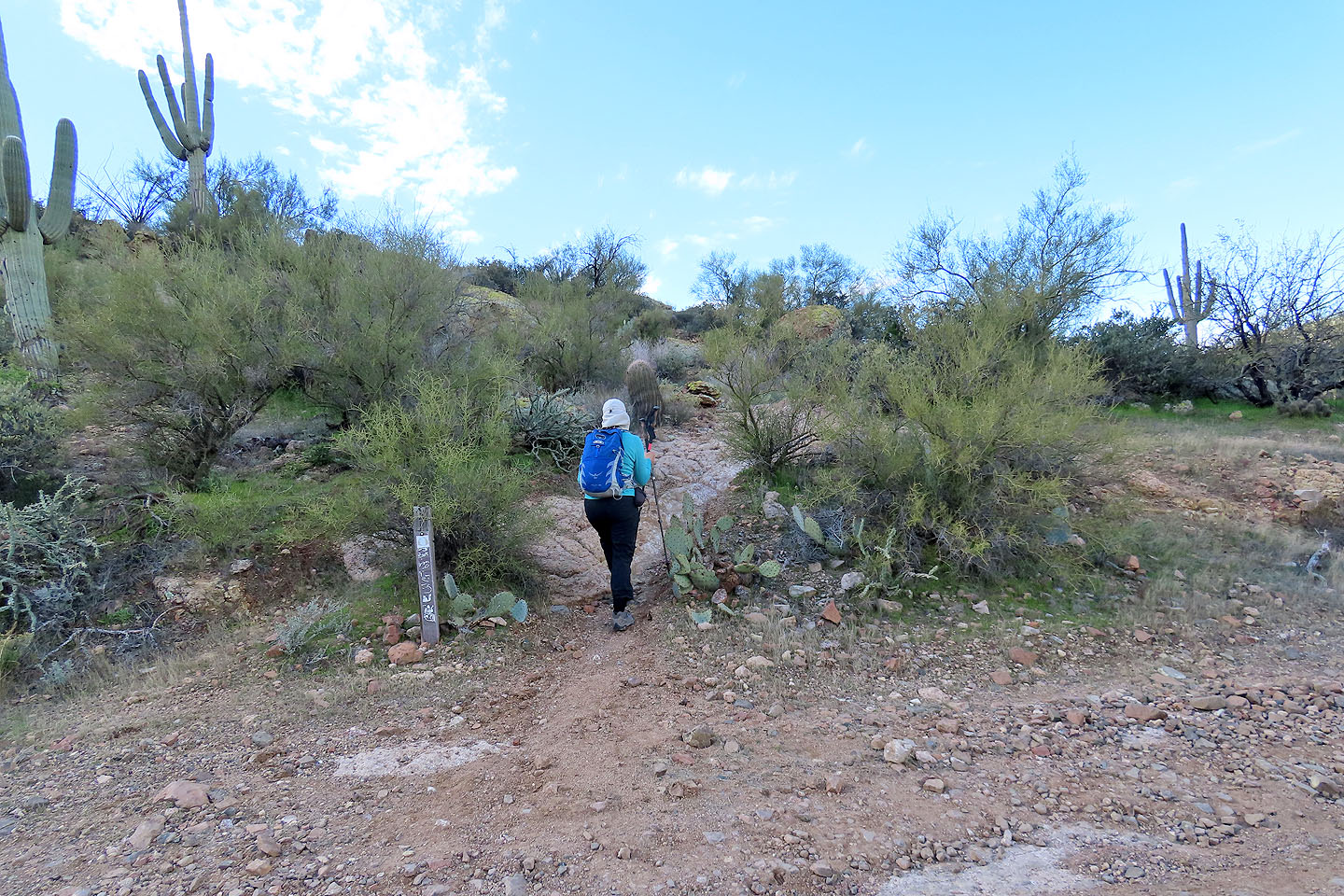
Going back on the Arizona Trail
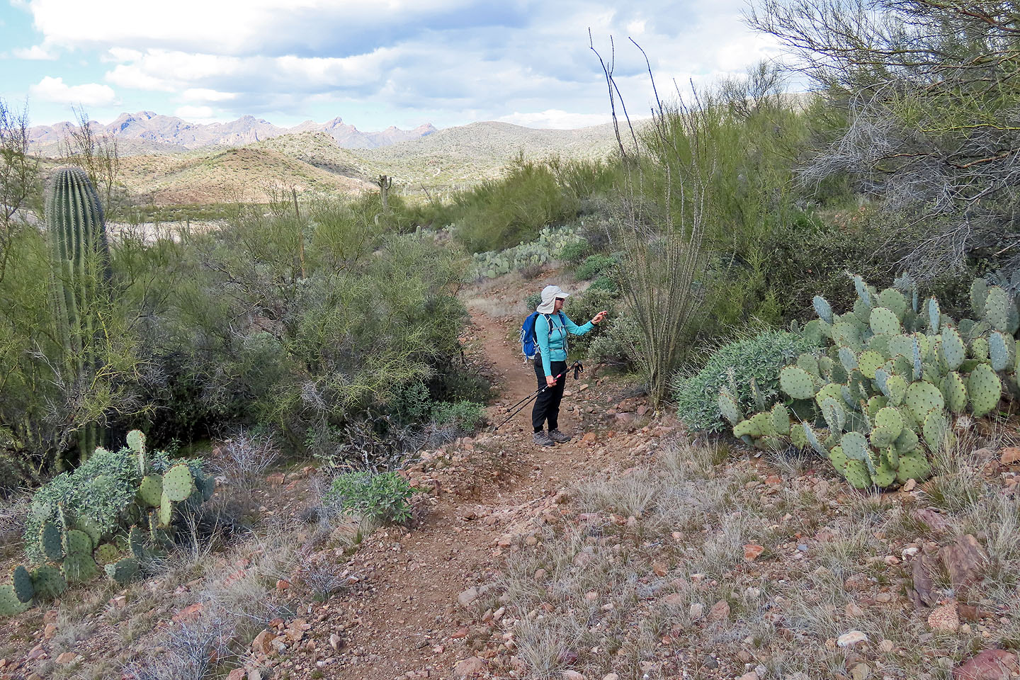
Dinah stops to study the thorns of an ocotillo (mouse over)
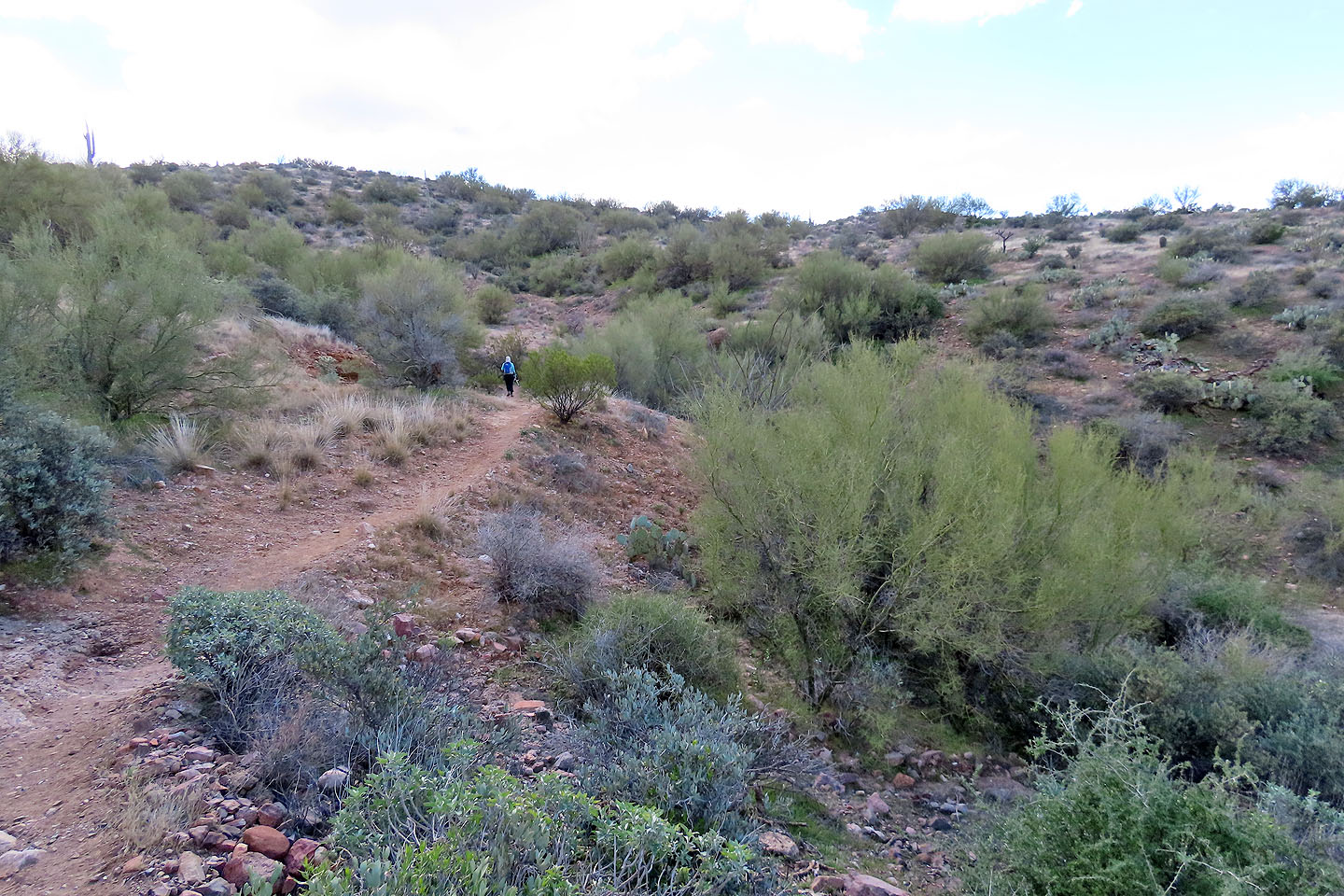
The trail cuts into the slope below the ridge crest we had hiked up
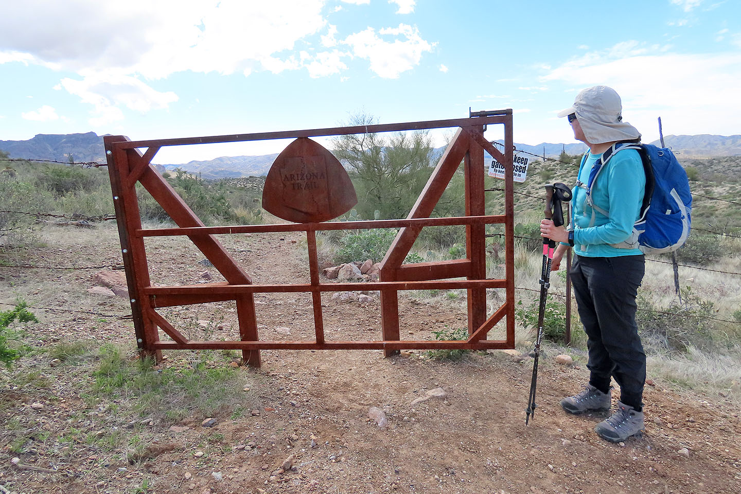
We passed through a gate with an Arizona Trail sign (mouse over for a close-up)
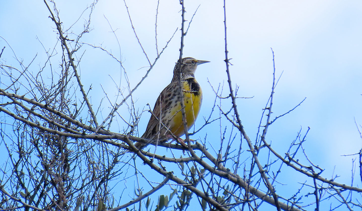
We saw few birds nor did I recognize this one
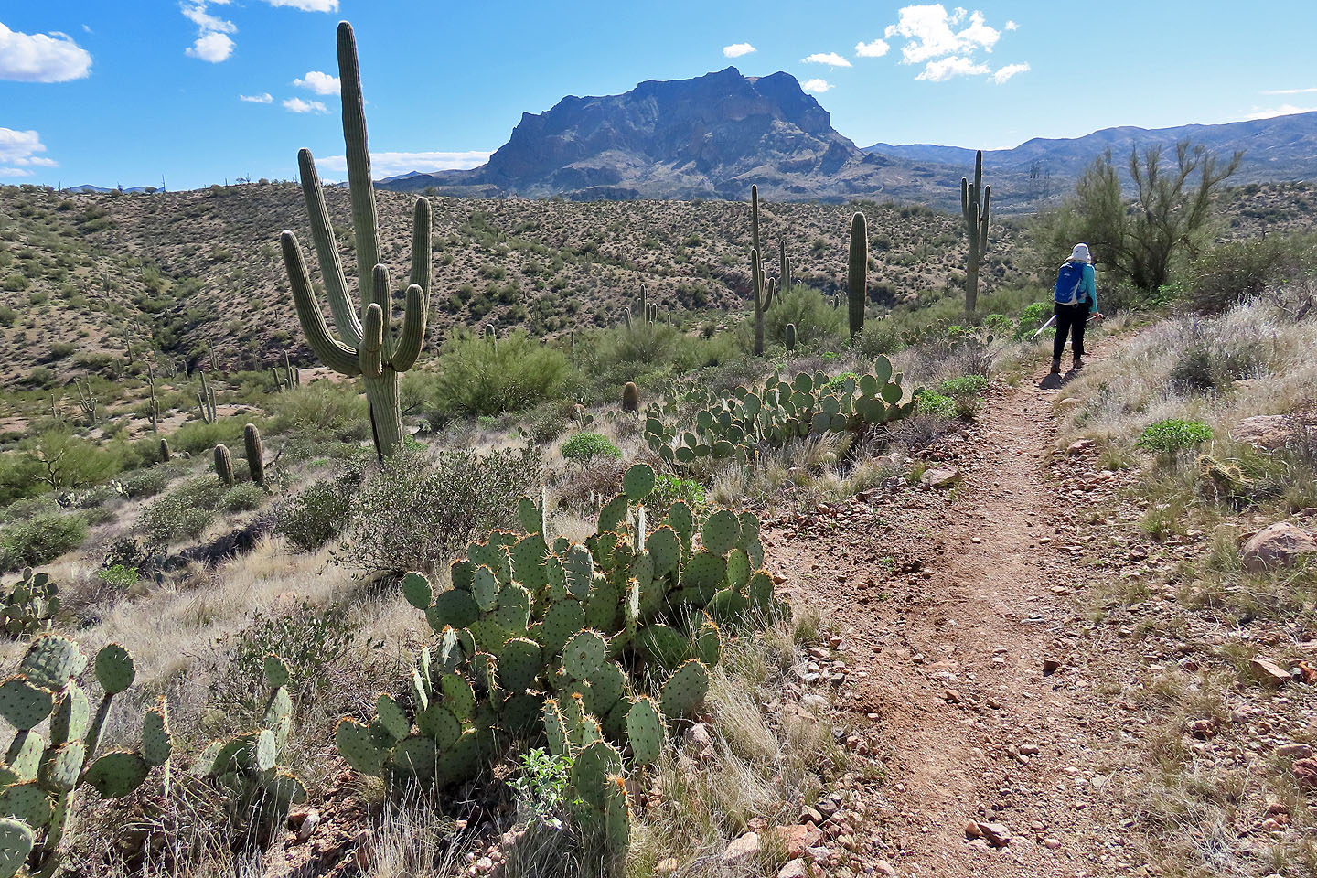
Back on the ridge trail
Picketpost Mountain (6.7 mi, 2848 ft, 449 ft)
