bobspirko.ca | Home | Canada Trips | US Trips | Hiking | Snowshoeing | MAP | About
Sunrise Peak
Scottsdale, Arizona
April 16, 2015
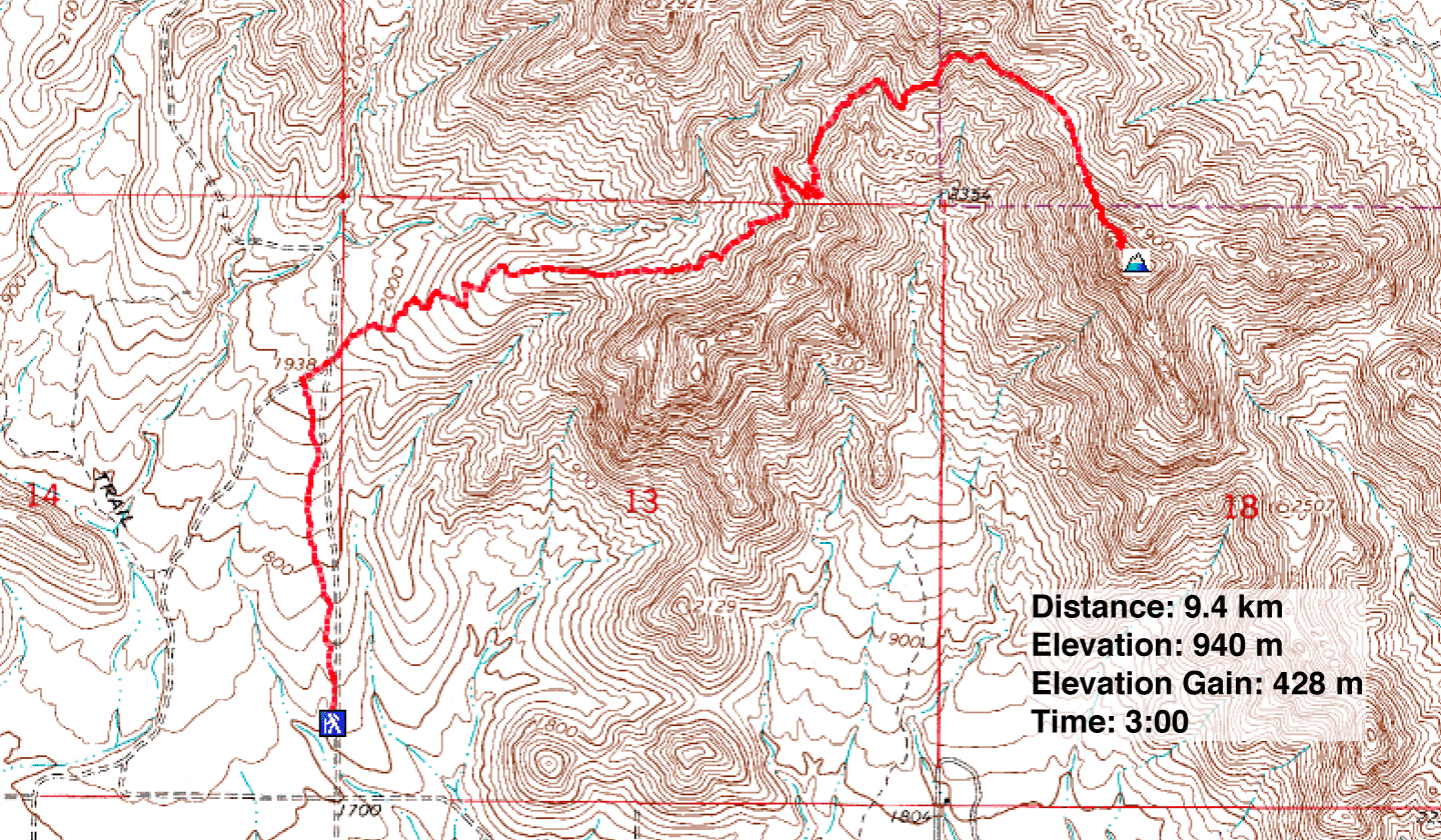
Distance: 9.4 km (5.8 mi)
Cumulative Elevation Gain: 430 m (1411 ft)
Following a dull, six-hour drive from Las Vegas, Dinah and I had only time for a short hike, Sunrise Peak, north of Scottsdale, Arizona. The route begins on Ringtail Trail, but after a kilometre it turns right, onto Sunrise Trail. Since the trailhead is situated at the edge of a subdivision, we weren't expecting to find solitude, nor did we. But after we reached a saddle, 1.4 km into the trip, we had the trail to ourselves. The few people we encountered turned around at this point.
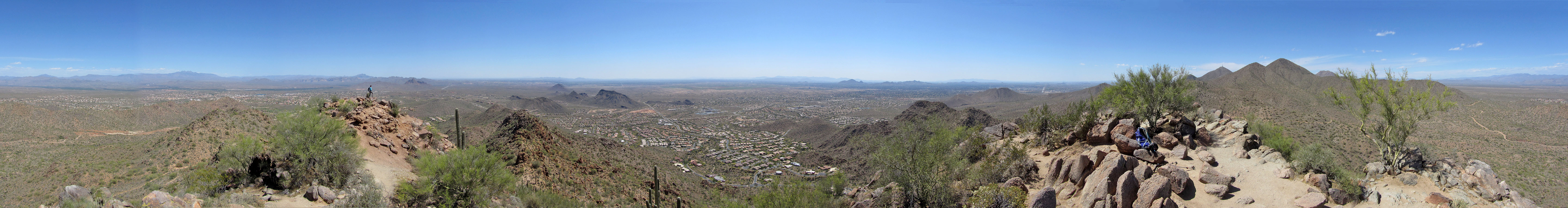
From the saddle, the trail cuts a curve into a slope as it curls toward the summit of Sunrise Peak. A short side trail, eased with a few brief switchbacks, extends to a rocky little point. We found little to see from the top, however, because most peaks were too distant to show much detail. But we enjoyed this hike. The area was new to us, and we experienced flora and fauna we hadn't seen before, including majestic saguaros.
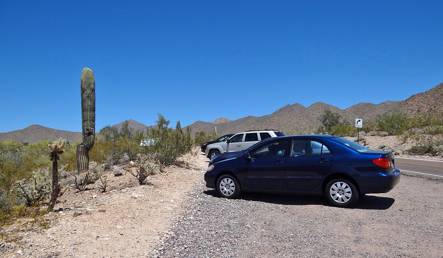
Trailhead
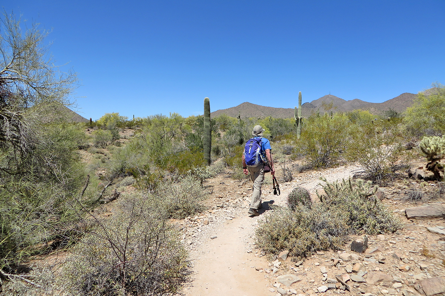
Starting up the trail
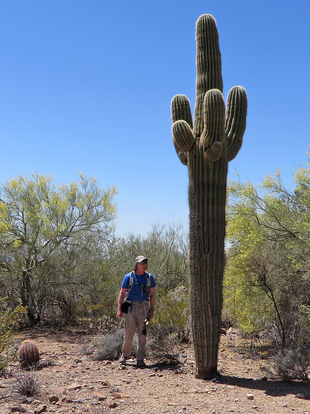
Taking a close look at a saguaro
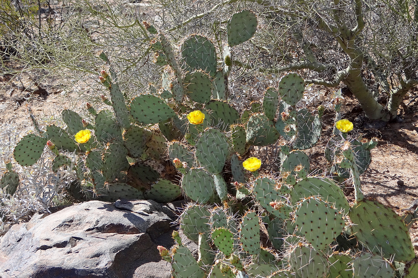
Flowering pancake prickly pear cactus (mouse over to view flower)
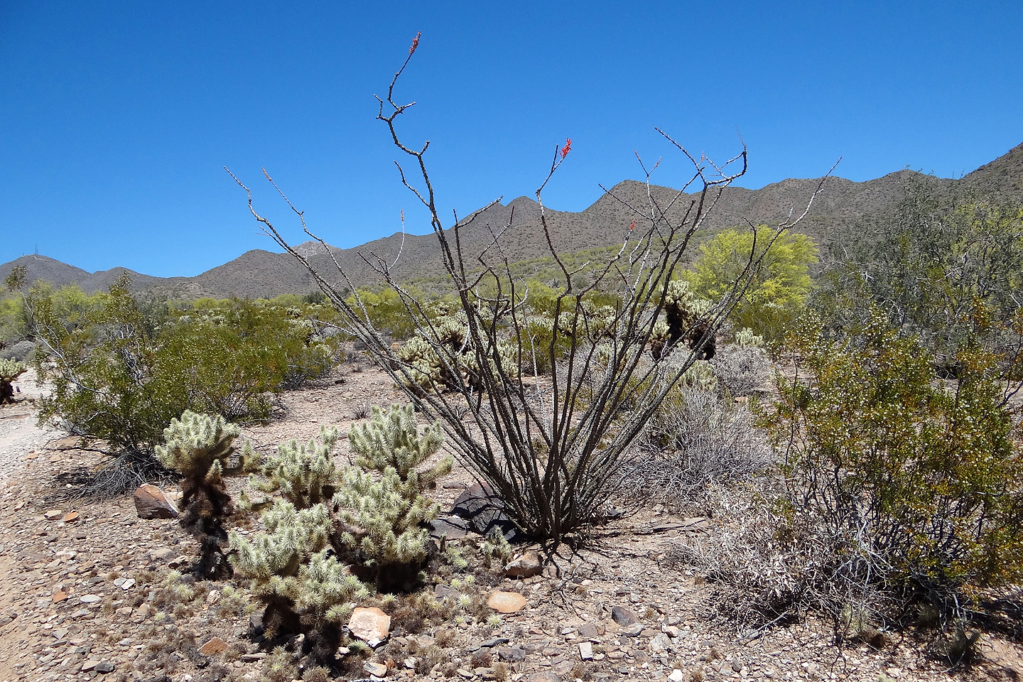
Ocotillo. Mouse over to see the flower.
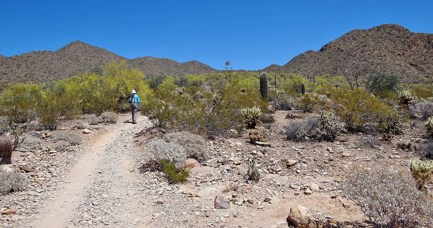
We followed the trail to the saddle
The trail leads to switchbacks going up to the saddle ahead
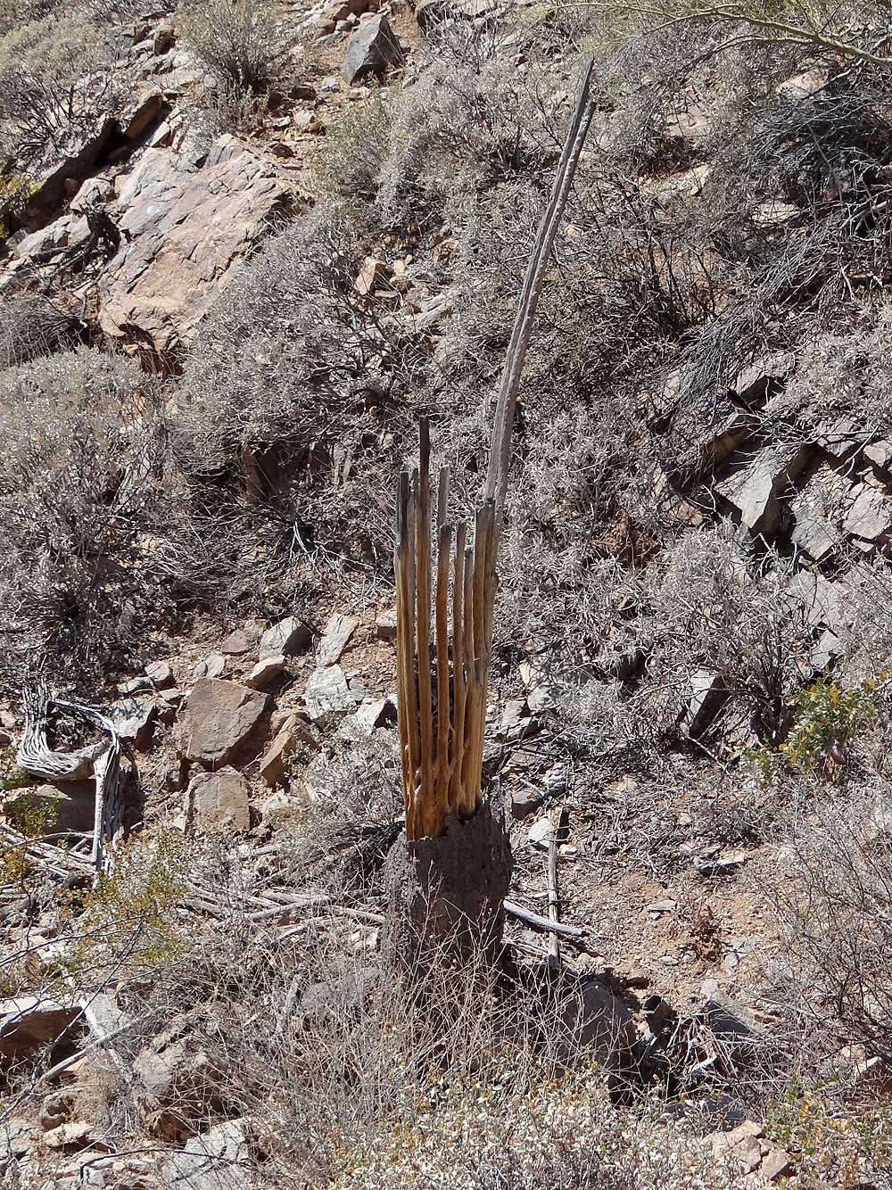
Dead saguaro
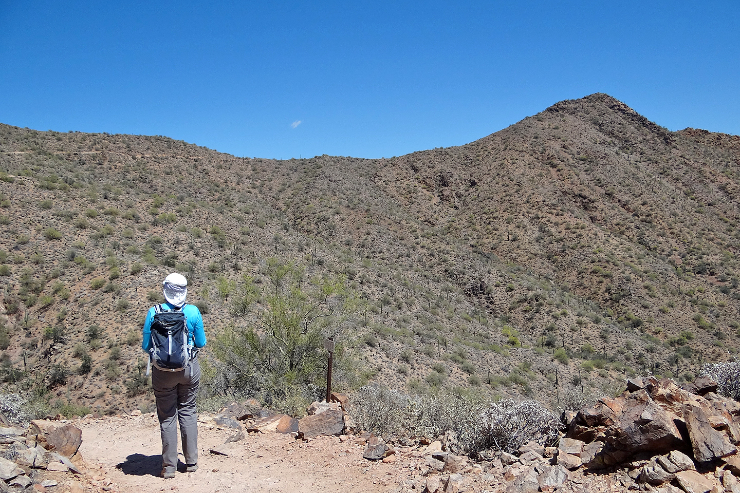
From the saddle we could see the summit of Sunrise Peak
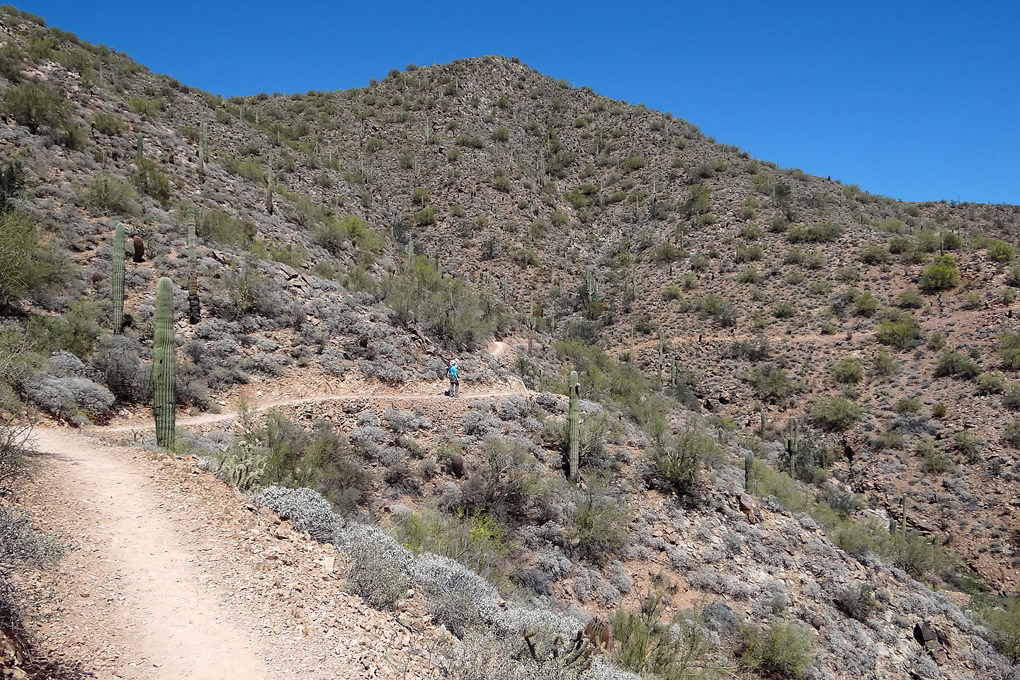
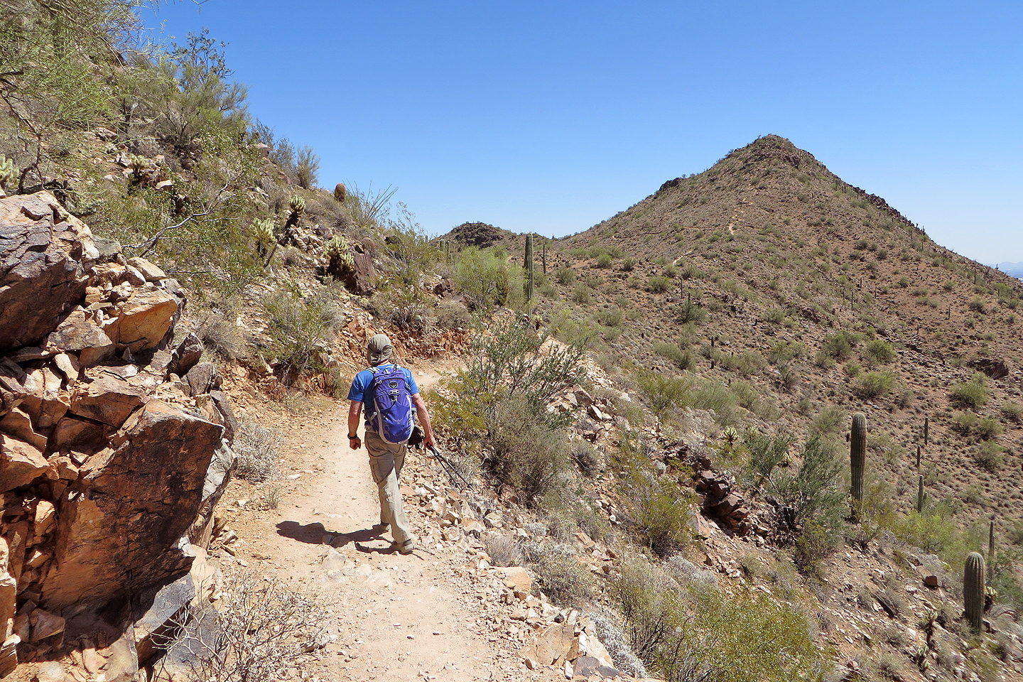
The trail cuts into a slope as it curves around to the summit
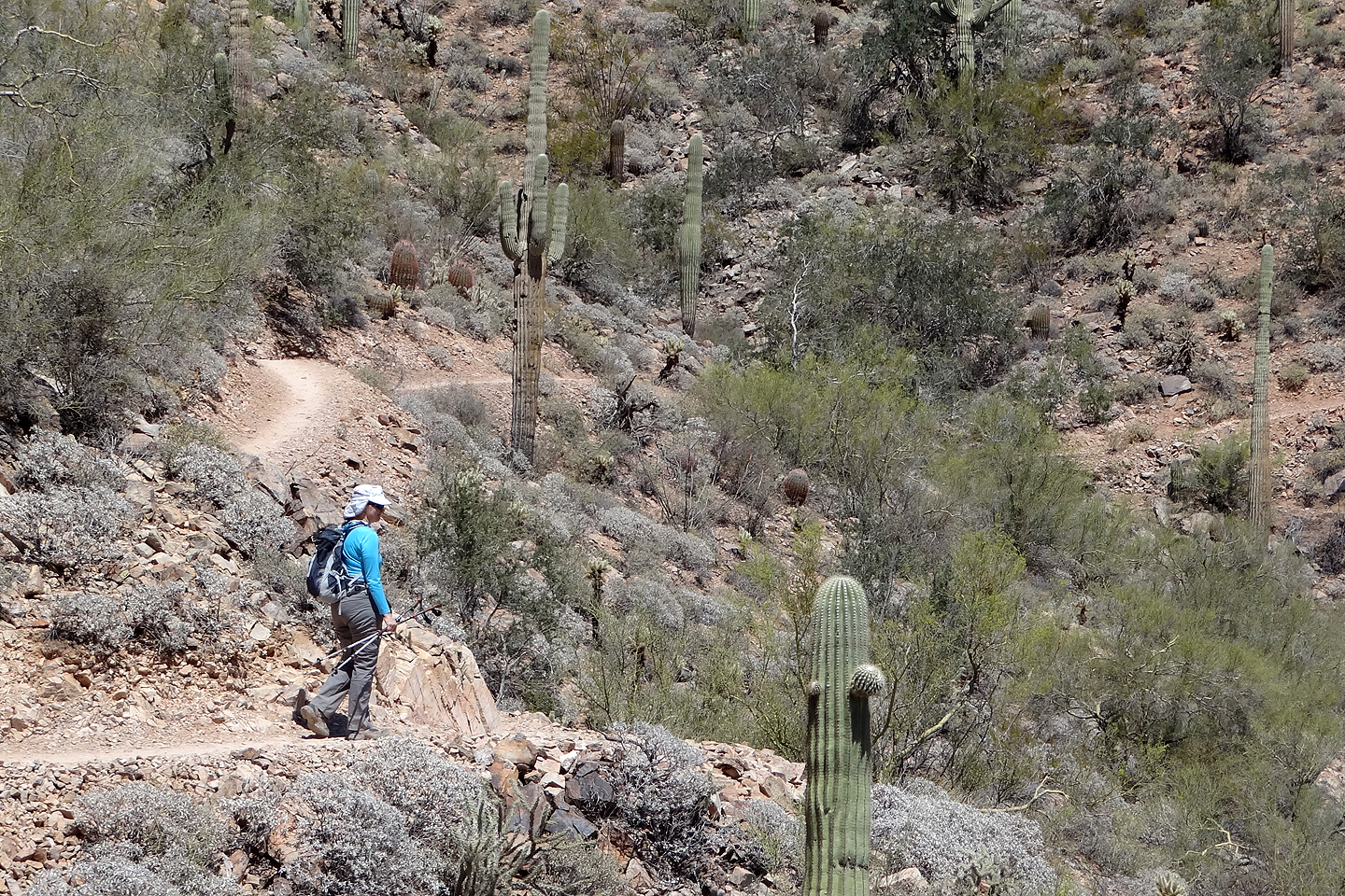
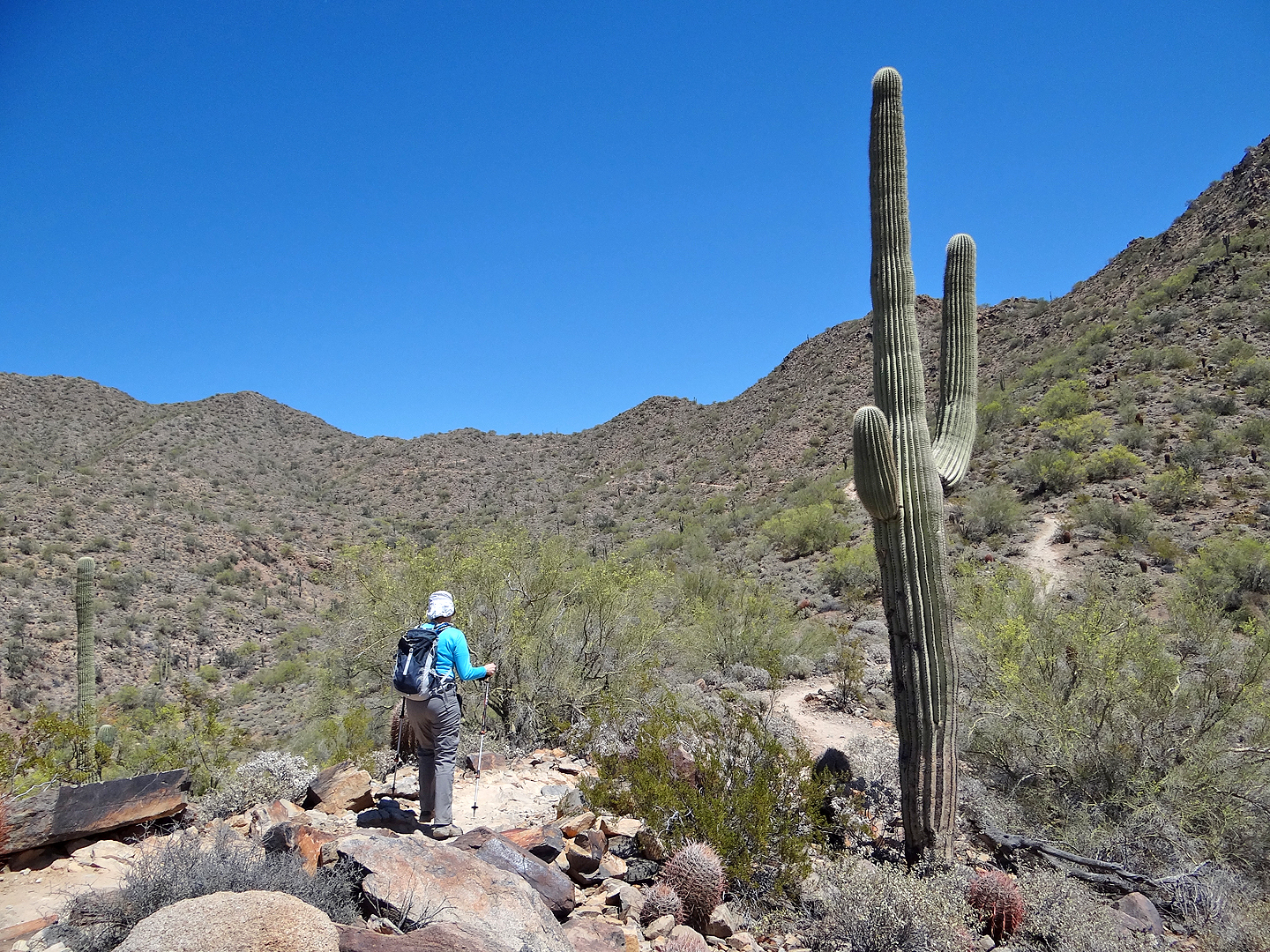
Saguaros were abundant along the trail
The summit is now ahead
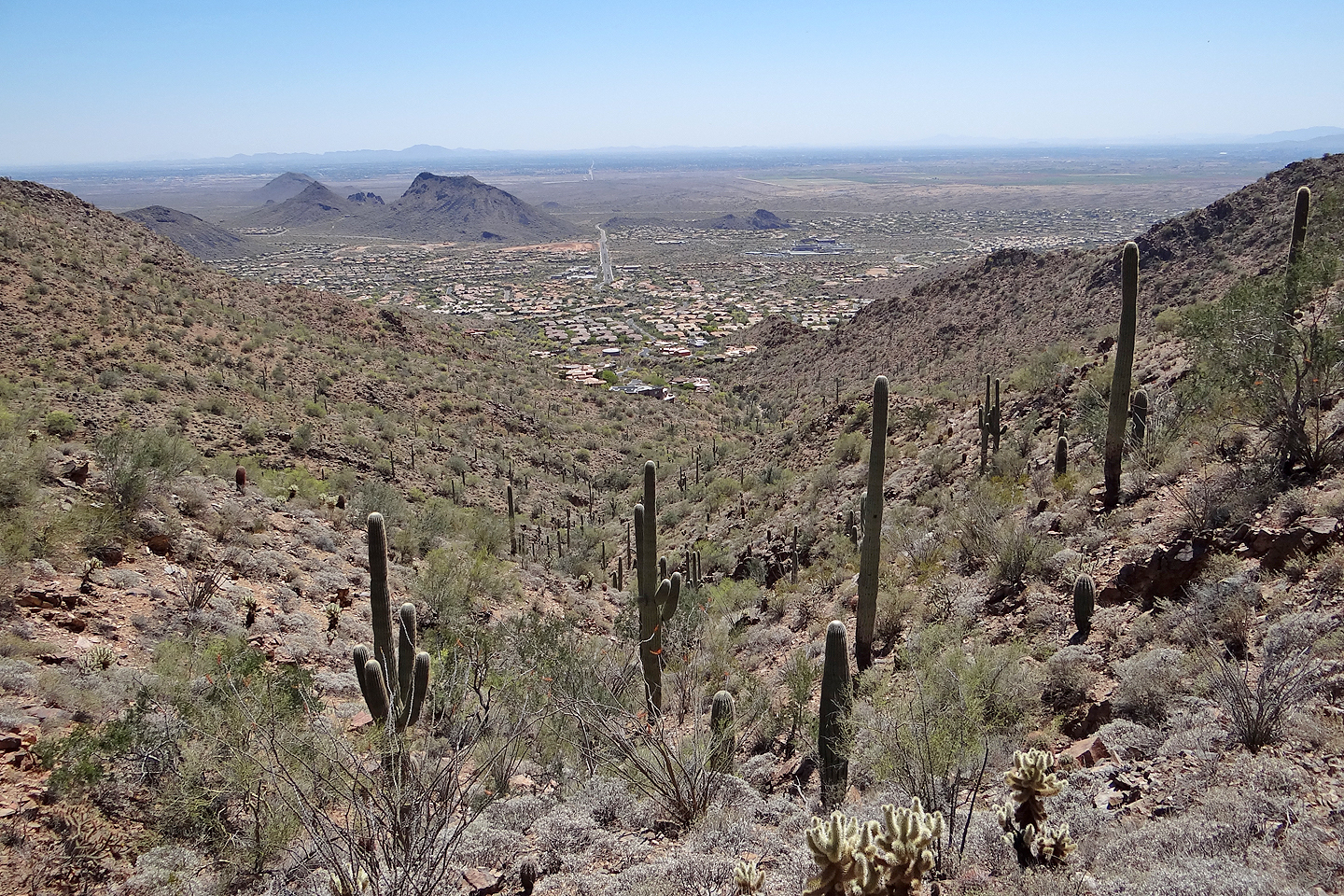
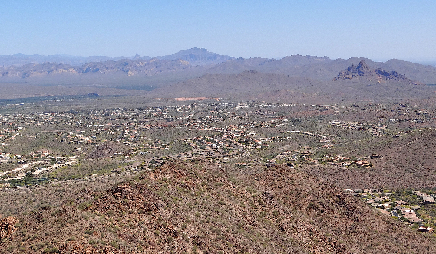
Looking down at Scottsdale
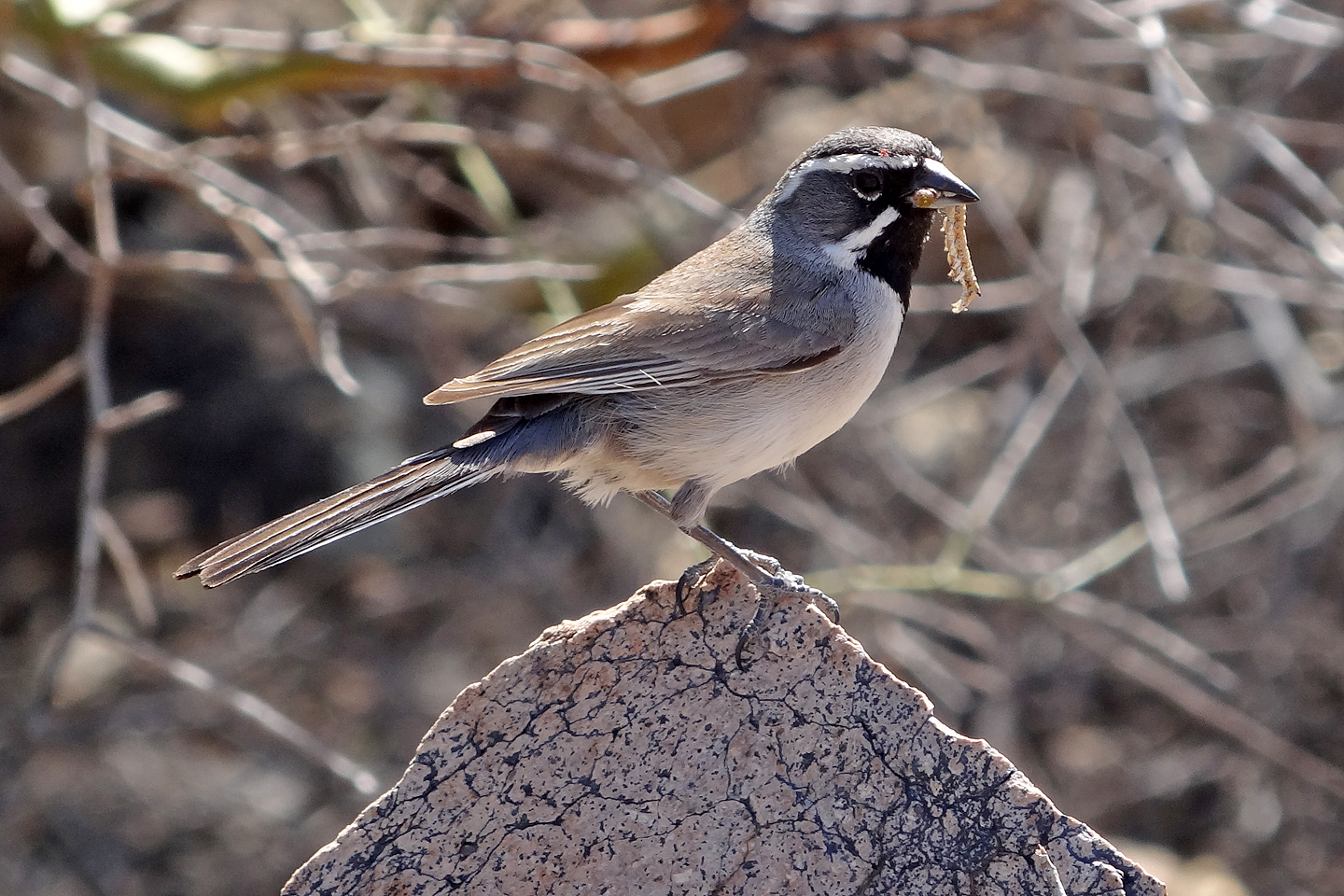
Black-throated sparrow with its next meal
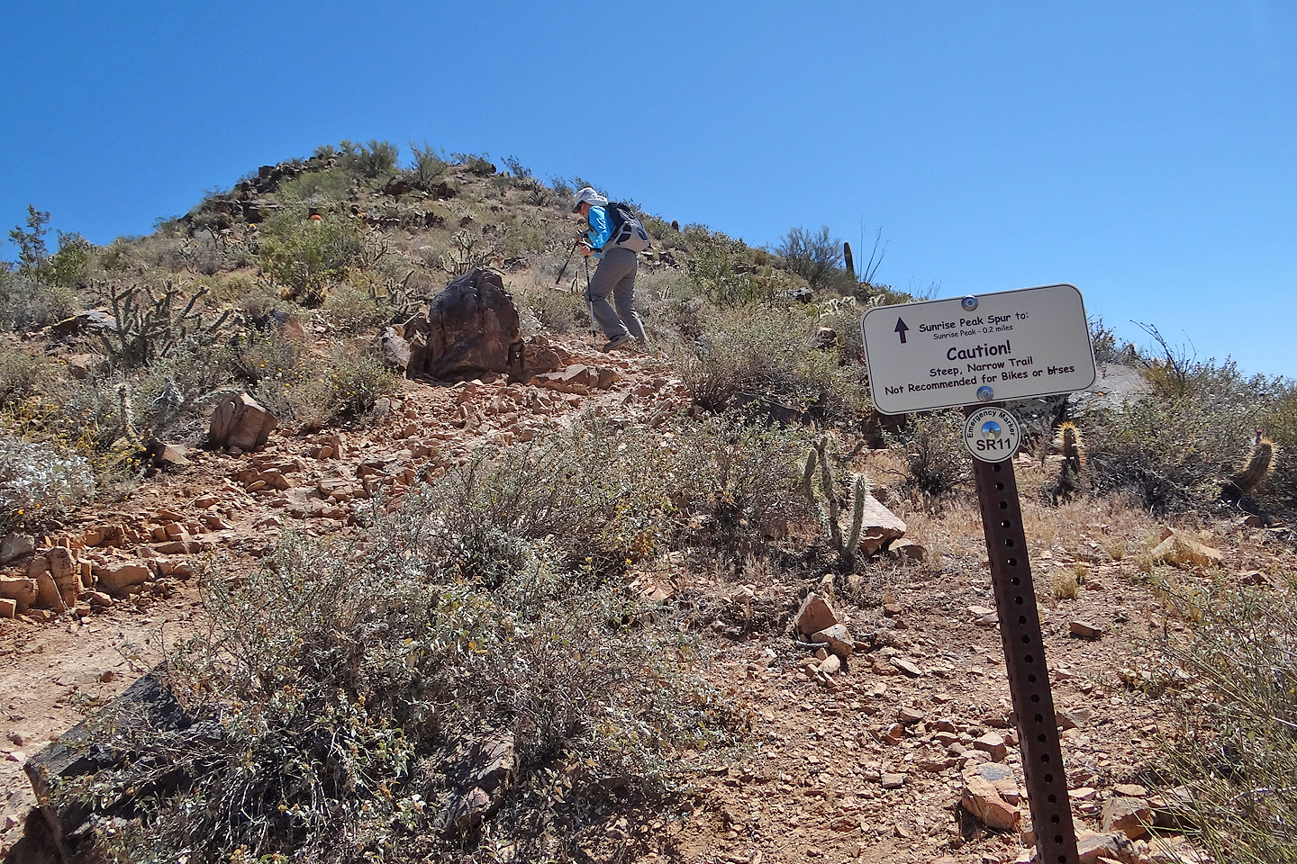
The steep side trail to the summit isn't recommended for bikes or horses
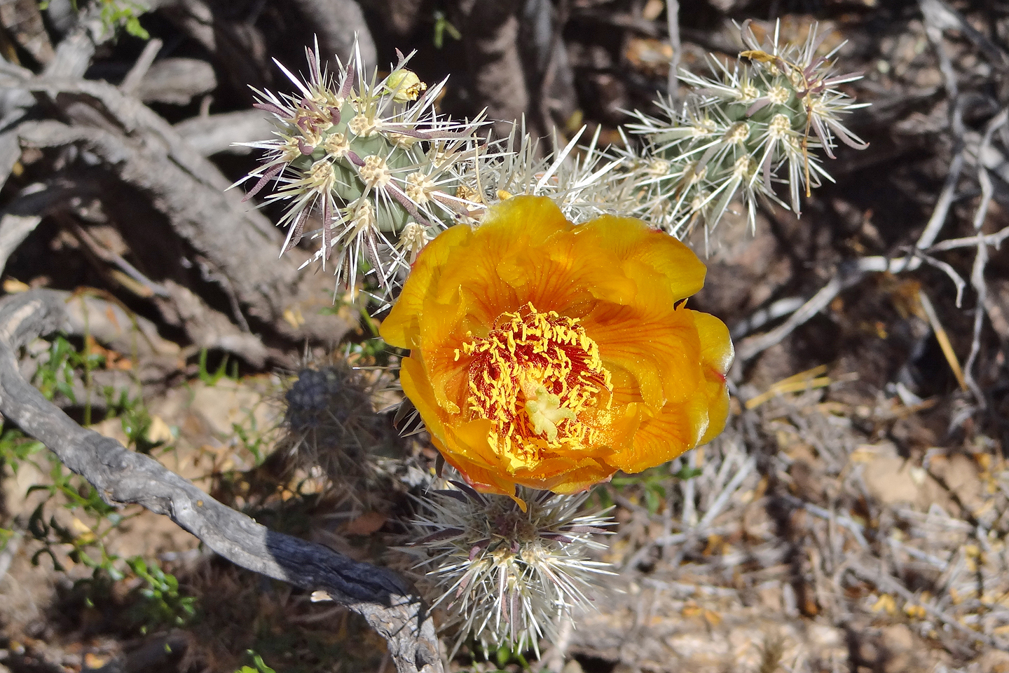
Cholla flower
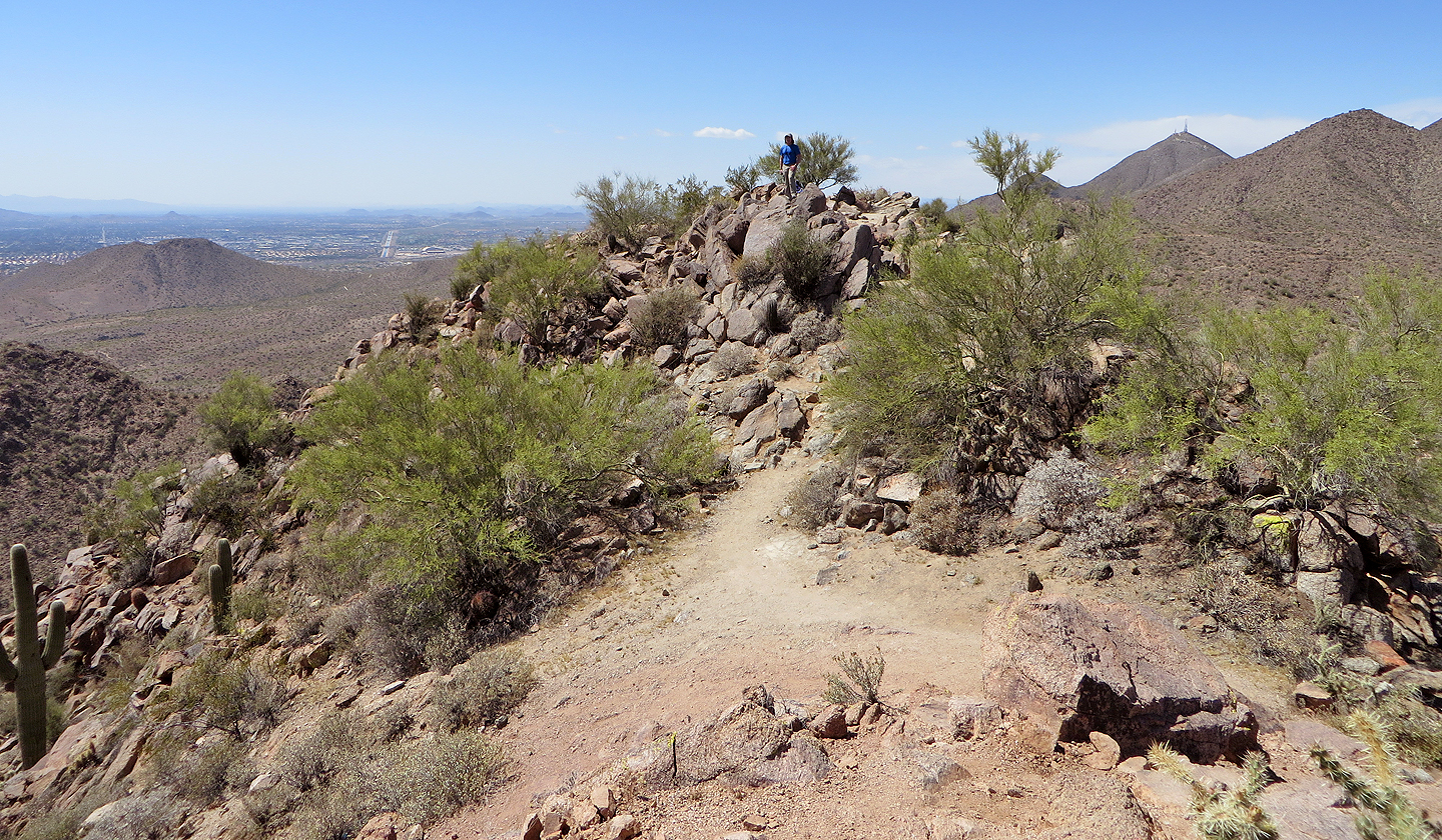
Reaching the summit
Mount McDowell aka Red Mountain lies 12 km SE
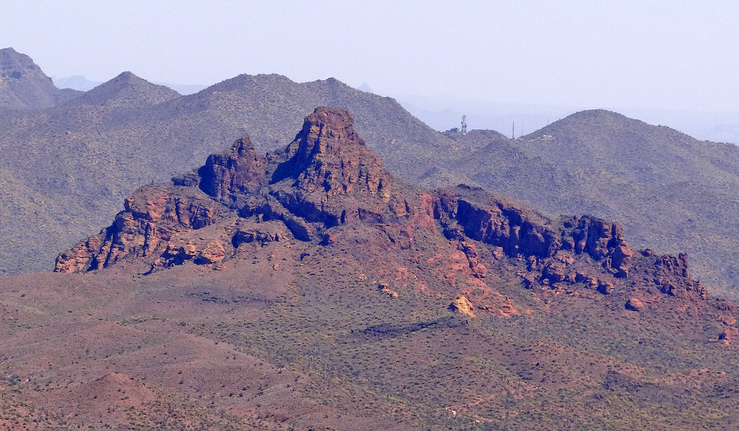
Also SE, Superstition Mountains. The conspicuous point left is Weavers Needle (mouse over).
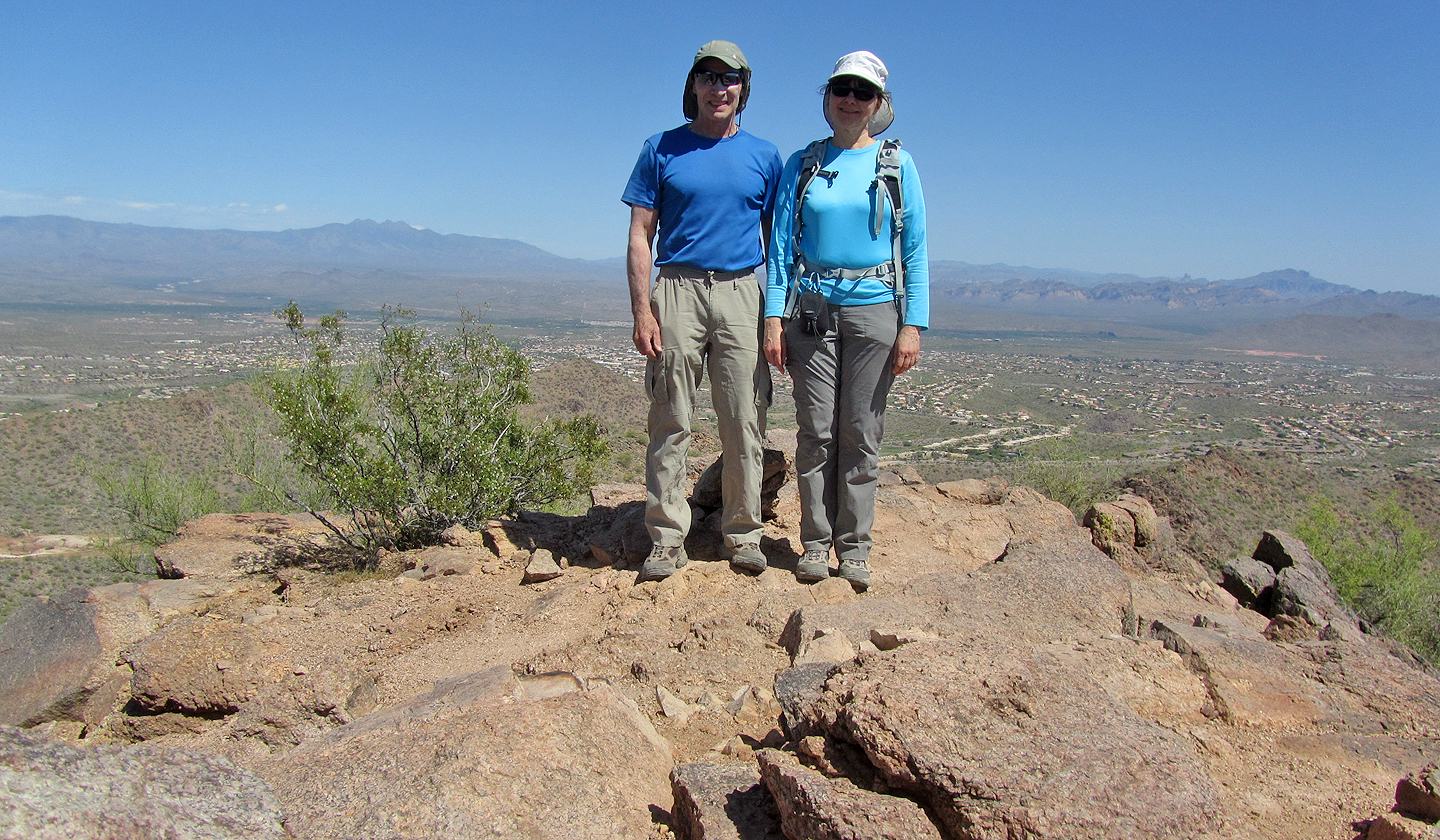
On the summit
Sawik Mountain (5.8 mi, 4685 ft, 1404 ft)