bobspirko.ca | Home | Canada Trips | US Trips | Hiking | Snowshoeing | MAP | About
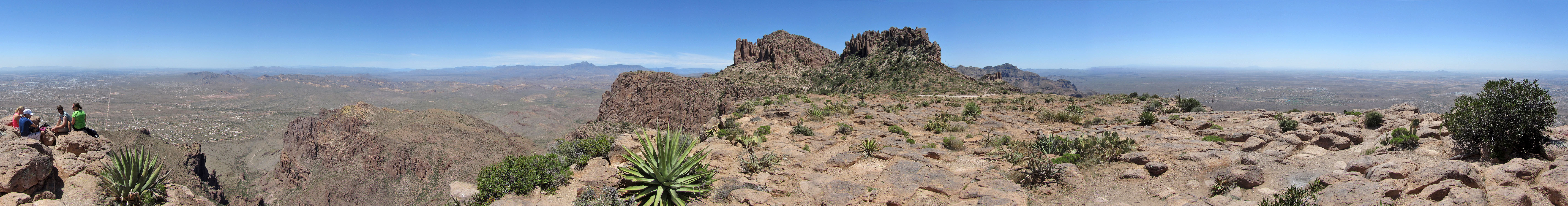
Flatiron
Superstition Mountains, Arizona
April 17, 2015
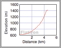
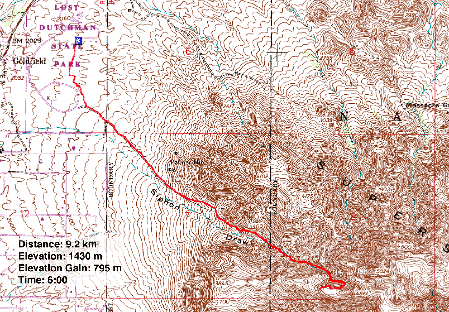
Distance: 9.2 km (5.7 mi)
Cumulative Elevation Gain: 800 m (2625 ft)
Flatiron is touted as one of the top ten hikes in Arizona. The route begins on Siphon Draw Trail in Lost Dutchman State Park east of Phoenix and winds through a canyon that includes an awesome slick-rock basin before reaching a flat top. Flatiron is actually a feature, not a summit, although a nearby high point is within reach.
Dinah and I spent a comfortable night in the park campground amid towering saguaros overhead and scurrying quail underfoot. For the park entrance fee of $7, we had the privilege of hiking to Flatiron.
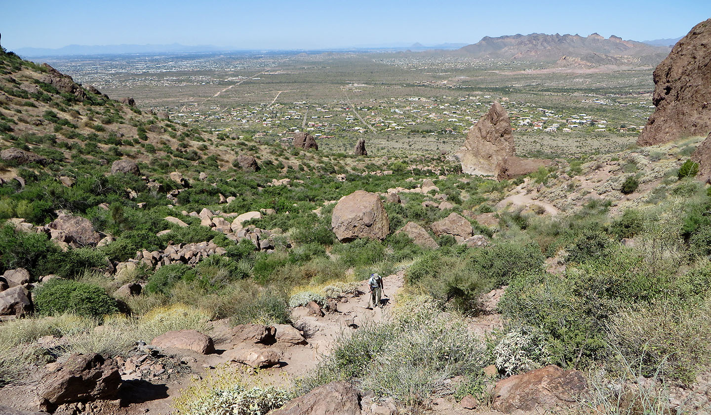
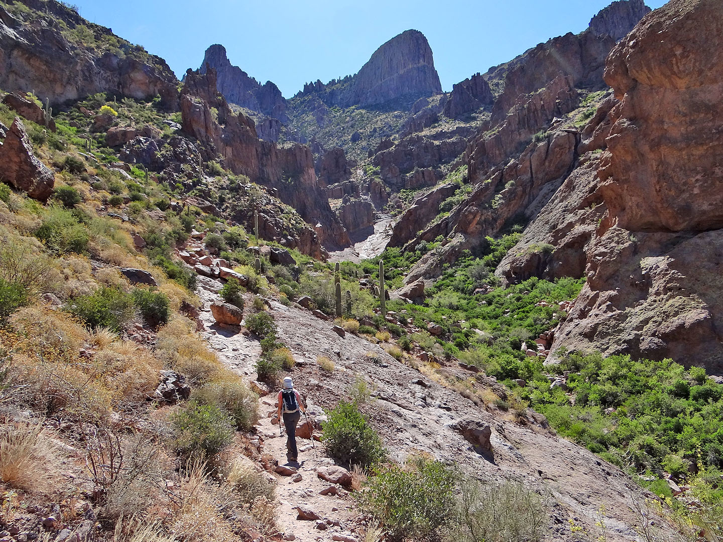
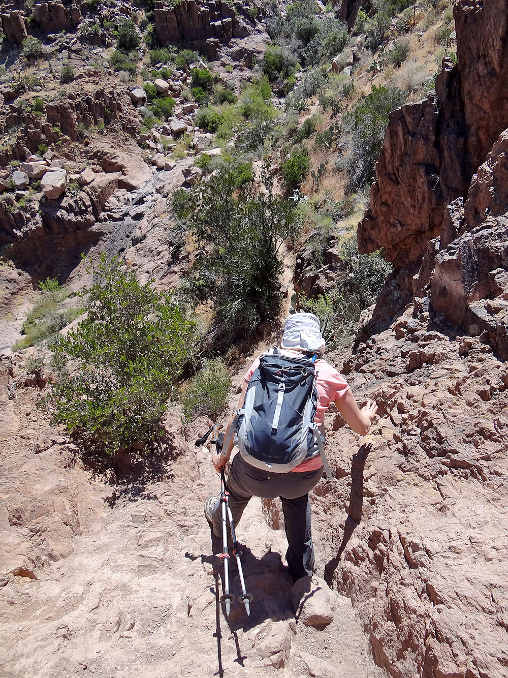
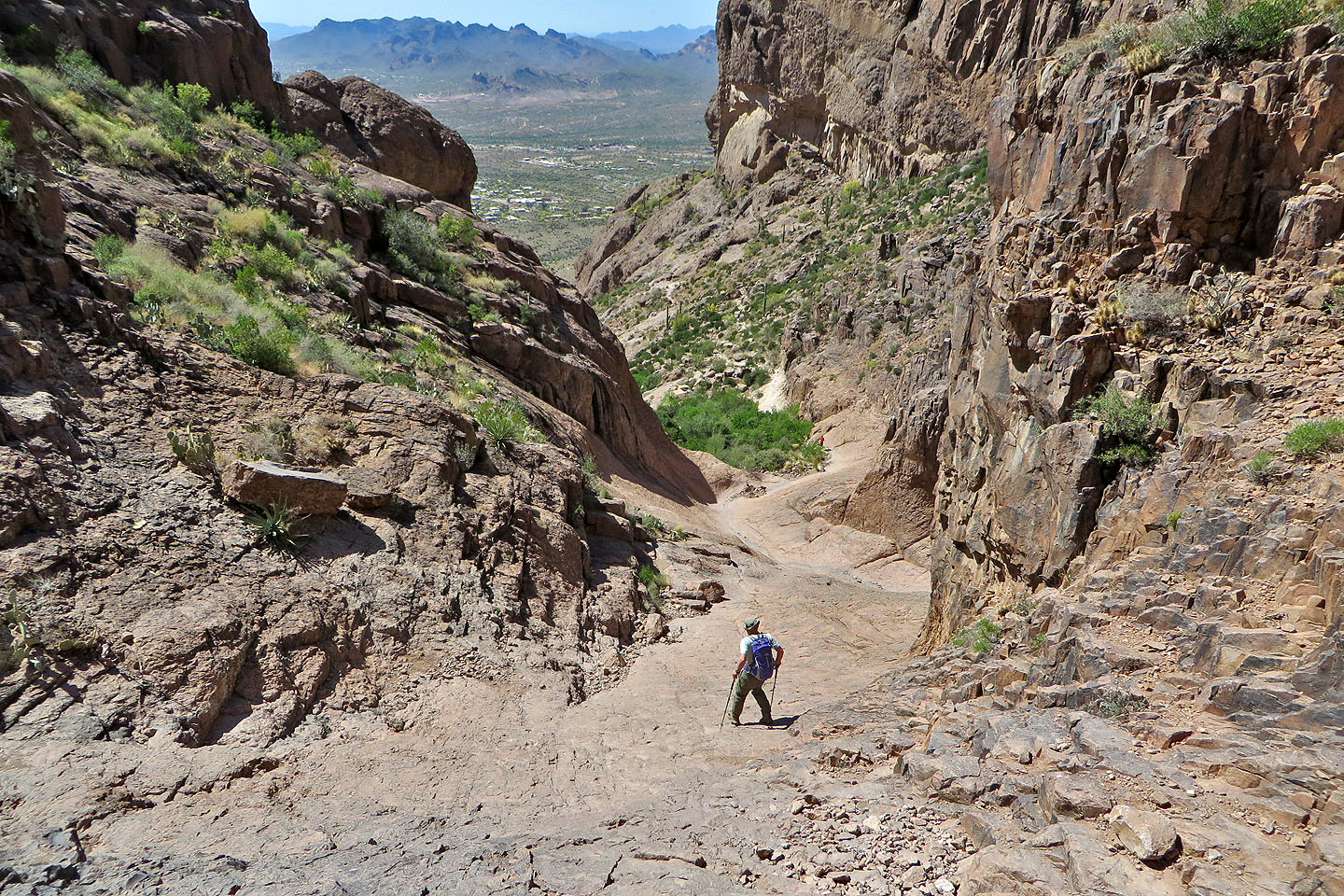
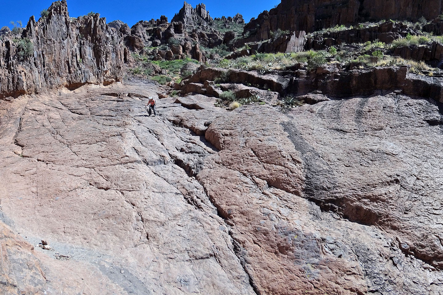
The Siphon Draw Trail begins straightforwardly on an obvious path with signs to guide you to the basin. Beyond the basin, routefinding becomes maddening. The trail disappears into rocks at times, or it forks, either looping back to the main trail or veering off to who-knows-where. After climbing above the basin, we reached a saddle. Three canyons lie ahead, but the route takes the rightmost one, under Flatiron. We scrambled down the other side of the saddle and started up a wash in the canyon.
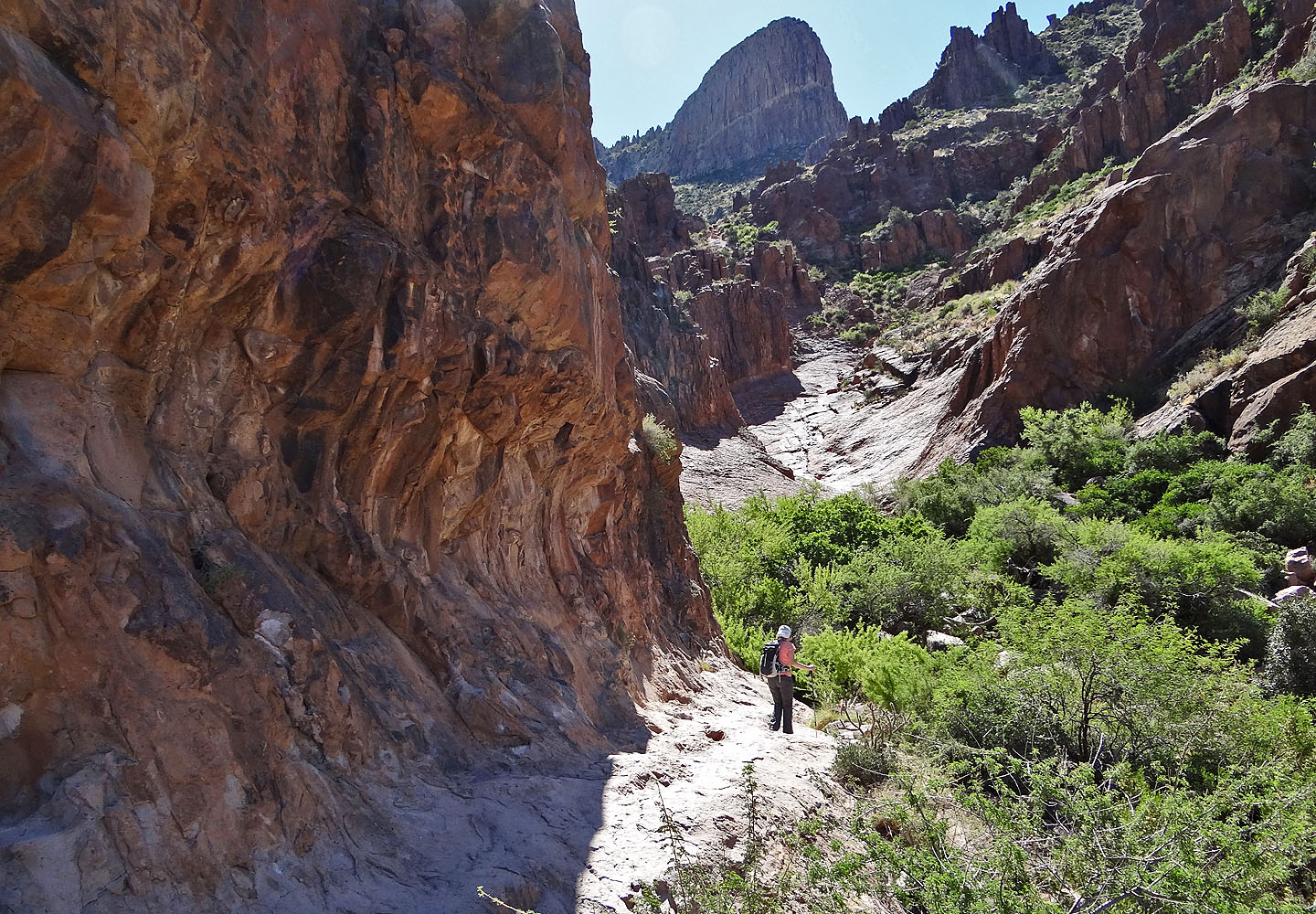
In the confines of the wash, it's easy to become disoriented. Boulders and trees limit views, and GPS can't be trusted. Somehow, somewhere, we inadvertently left the main trail and ended on a side trail that climbed a steep slope on our right. We were well above the main trail when we realized our error. We weren't too concerned, however. The side trail appeared well travelled, although the route wasn't always obvious. Nor were we the only ones to mistakenly take it that day.
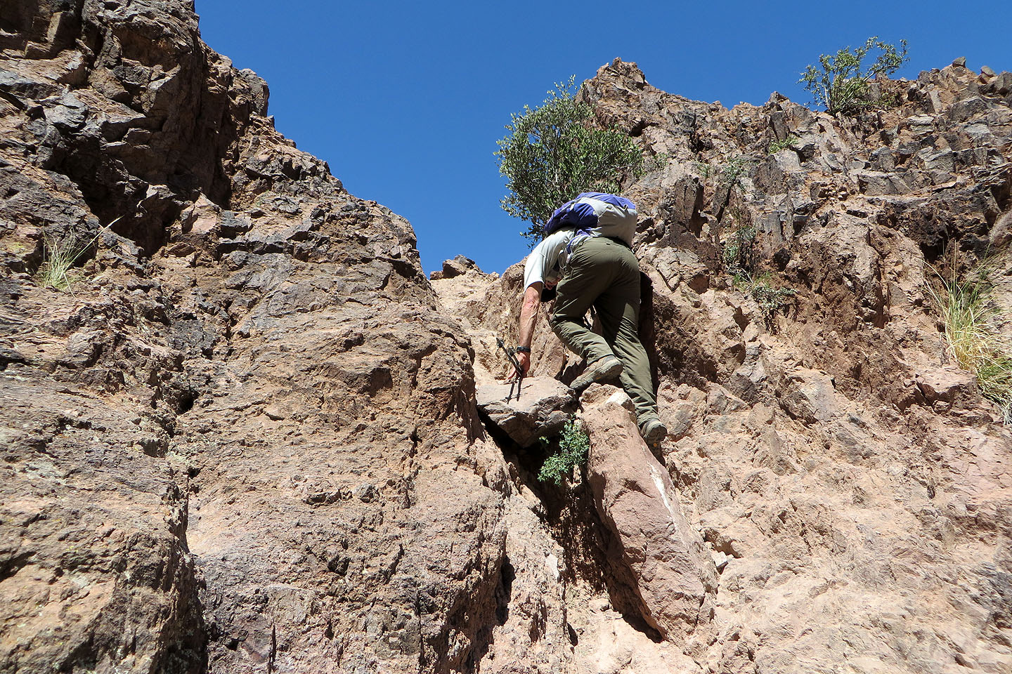
Then the trail hit a crux, a ten-foot vertical climb with mild exposure. Dinah found it daunting and hung back. (I don't know how the main trail fairs high up, but both Summitpost.com and hikearizona.com describe a scramble near the top.) I climbed up and came to a T-junction, a nearly level path. I turned right and walked to the spacious top of Flatiron.
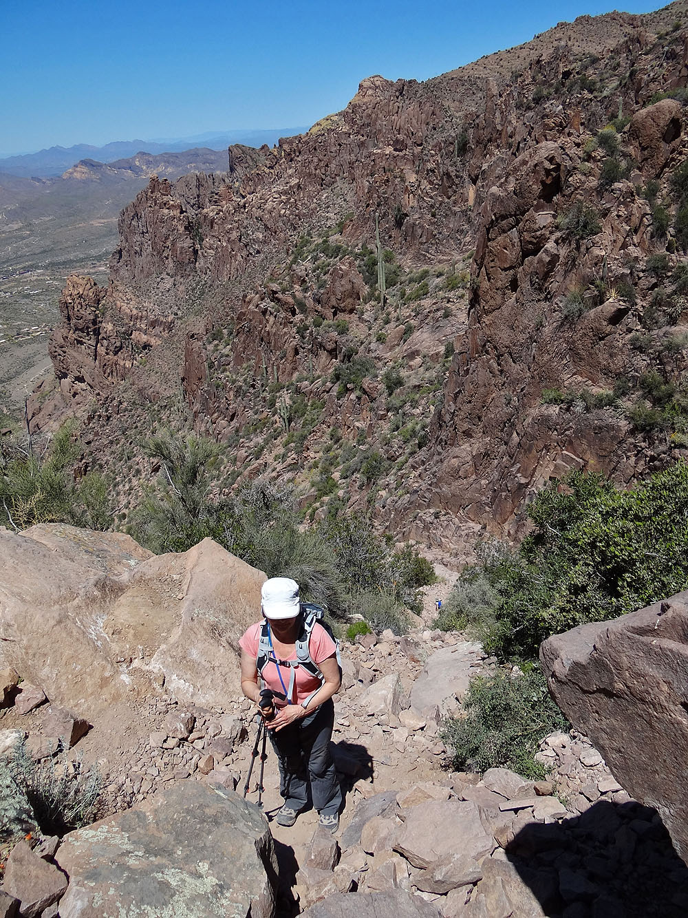
I took a few photos and then returned to join Dinah waiting below the crux. We started to retrace our steps down but found another side trail that took us more directly to the main trail (our descent route is depicted on my map). We followed the main trail back to our car.
We were both disappointed that Dinah had to turn back before reaching Flatiron. We talked about returning someday to follow the main trail all the way up, as well as ascend the high point. Having ironed out the route, it should be quicker and easier.
Postscript: Jack Zeljkok of Canmore, Alberta wrote: “I know exactly where you went wrong. Actually I would have done the same, if I didn't read your report the night before – so thanks for that. On the main trail, there is also 10-foot wall at the top, but on the left side someone has flagged an easier route that scrambles up a little chute with good holds; it is still a difficult scramble, class 4 IMHO."
"Another interesting point: After you get up to the saddle above Siphon Draw, if you turn right instead of descending into the wash, you can pick up a good trail that gets you to 'Little Flatiron.' This is awesome spot, a vast plateau with several campsites. Cairns then lead up the 'false' ridge to the base of Flatiron, and this is an awesome ridgewalk. From there it would be possible to trash up the side and connect with your route.”
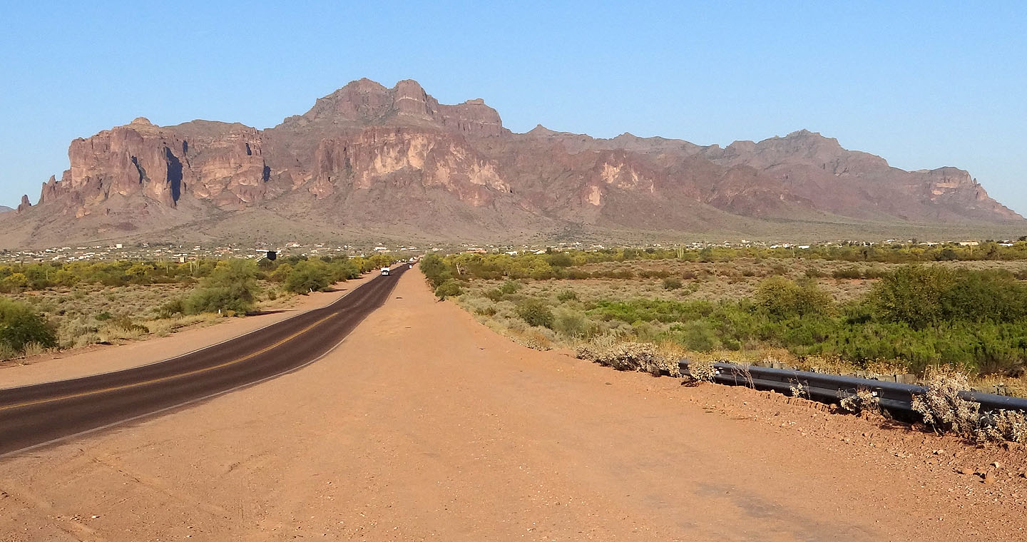
Superstition Mountains: Flatiron is the round bump on the skyline right above the road
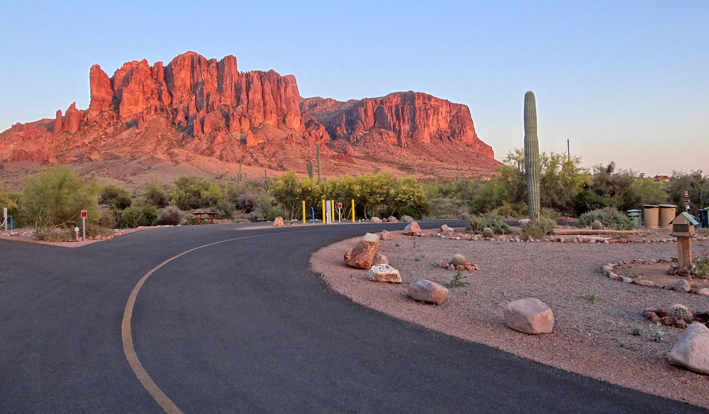
Superstition Mountains seen from the campground
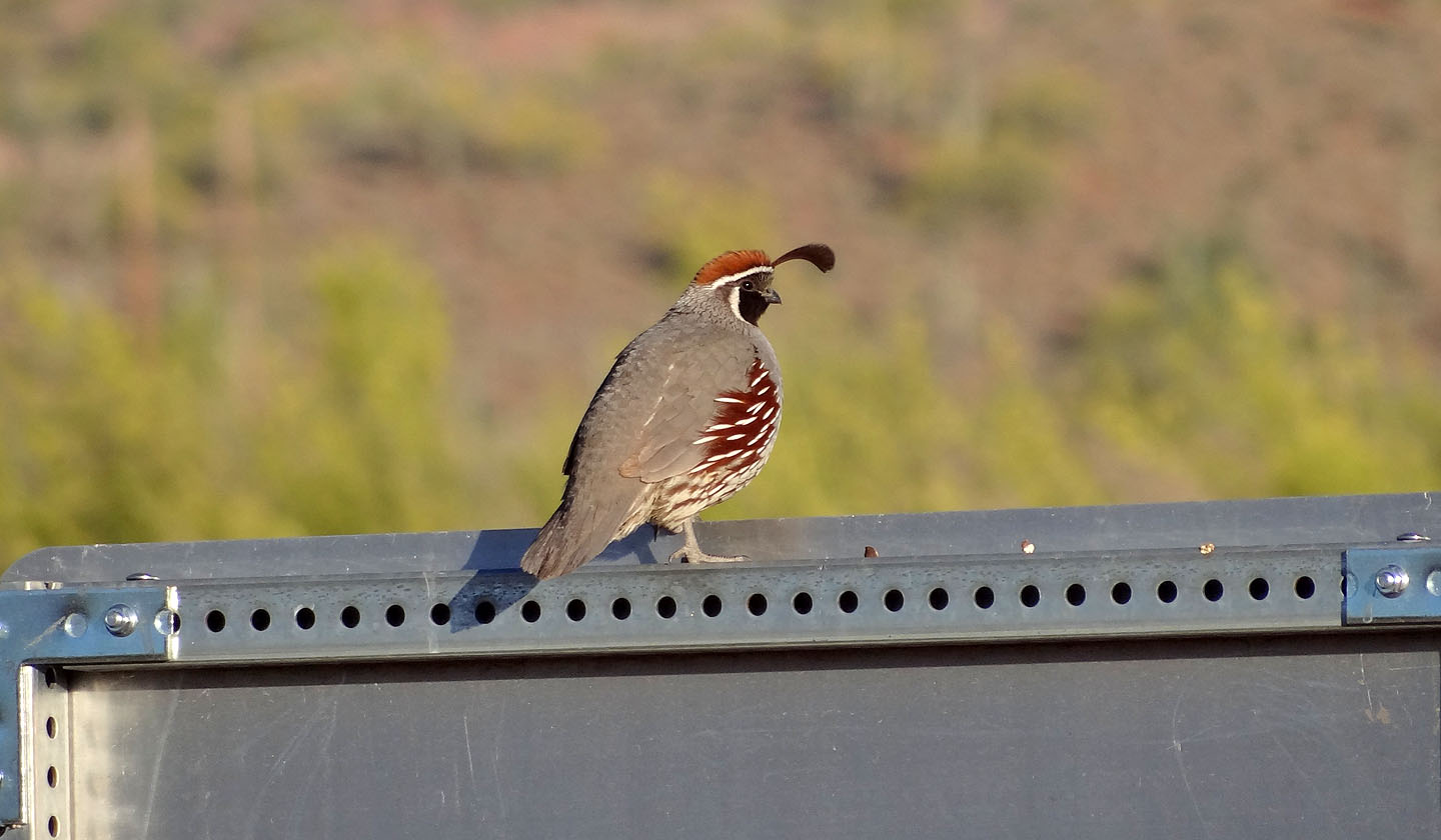
Gambel's quail
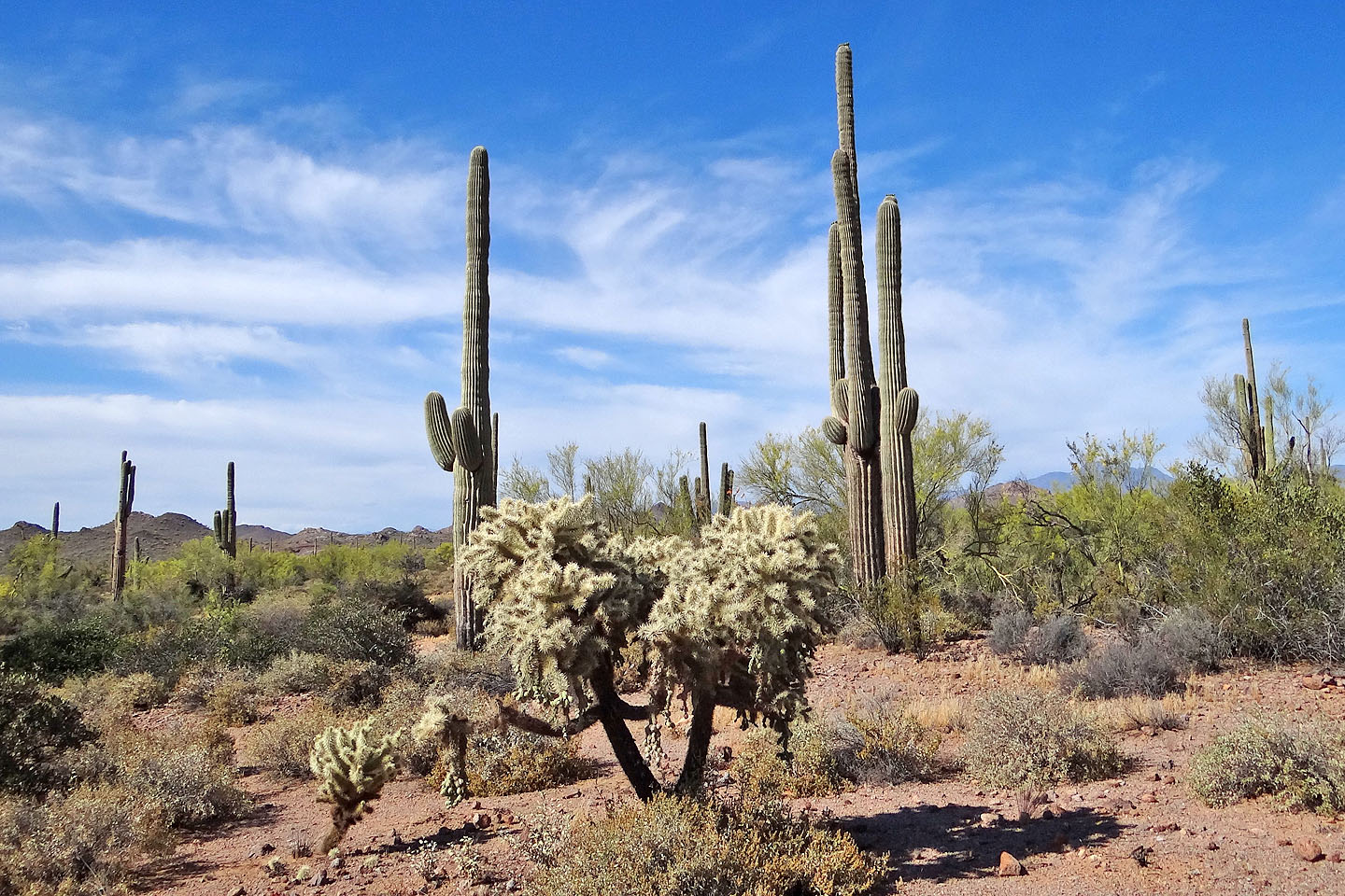
Desert scenery along Siphon Draw Trail
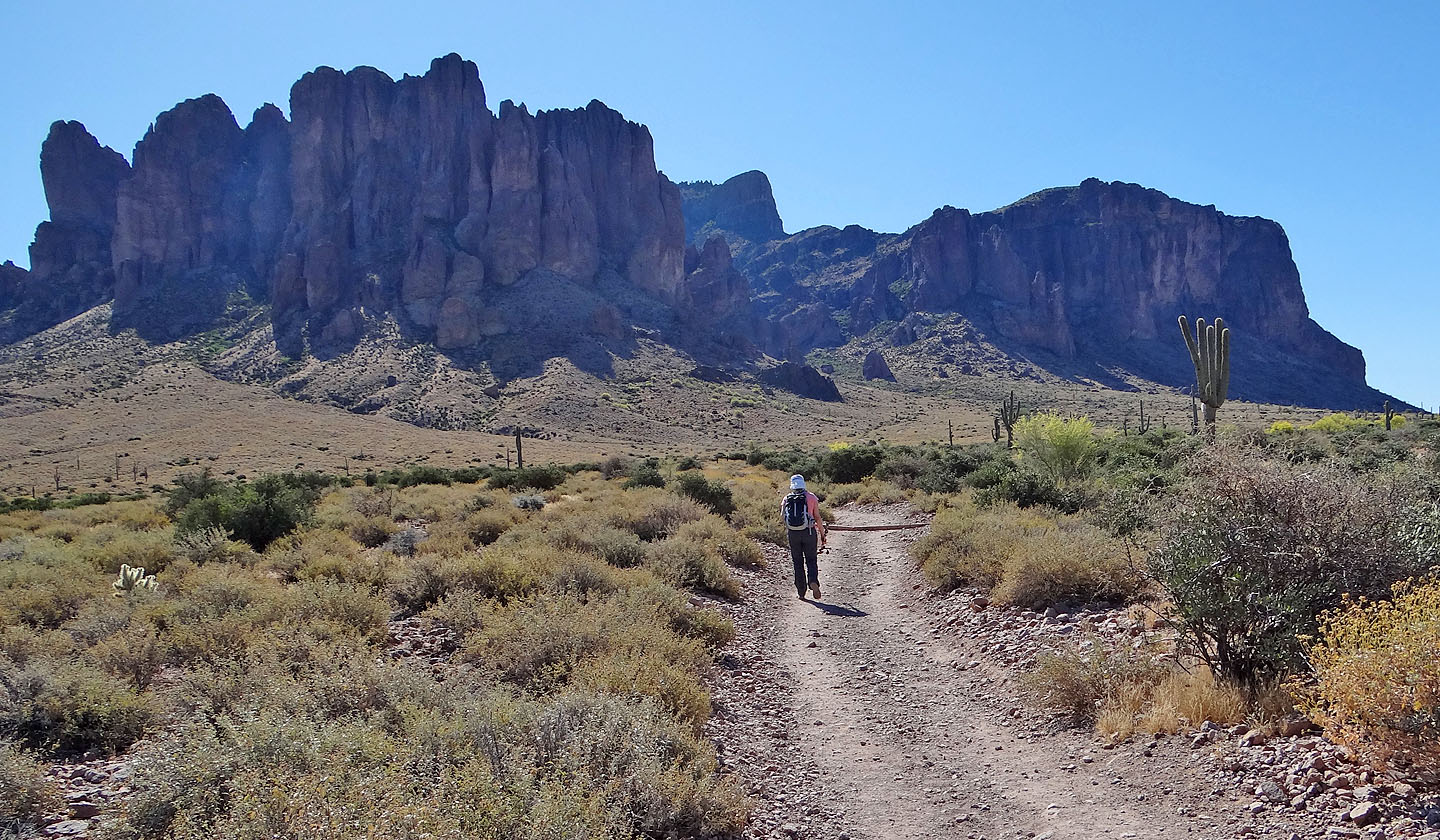
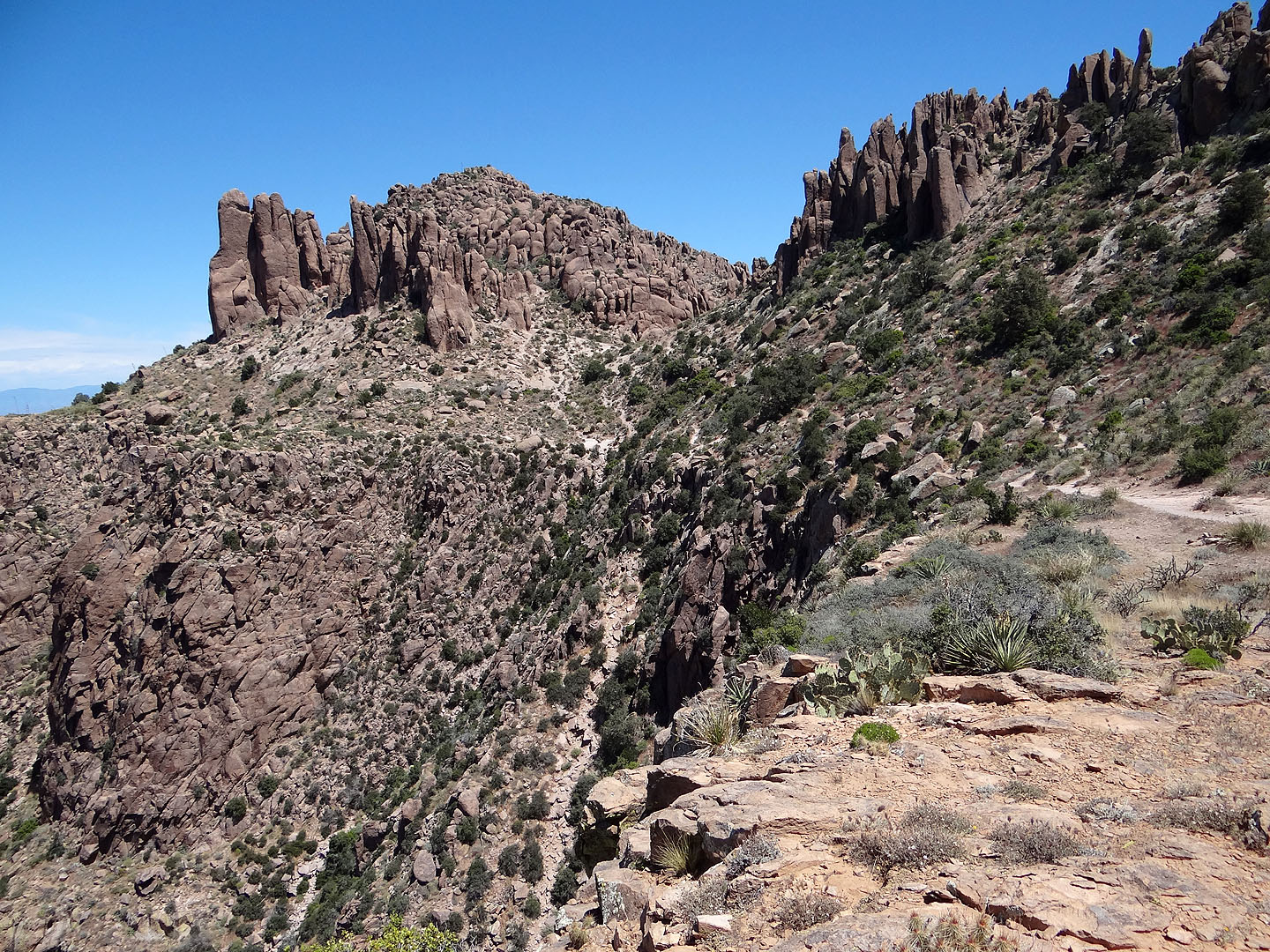
Flatiron is the distinct point above Dinah
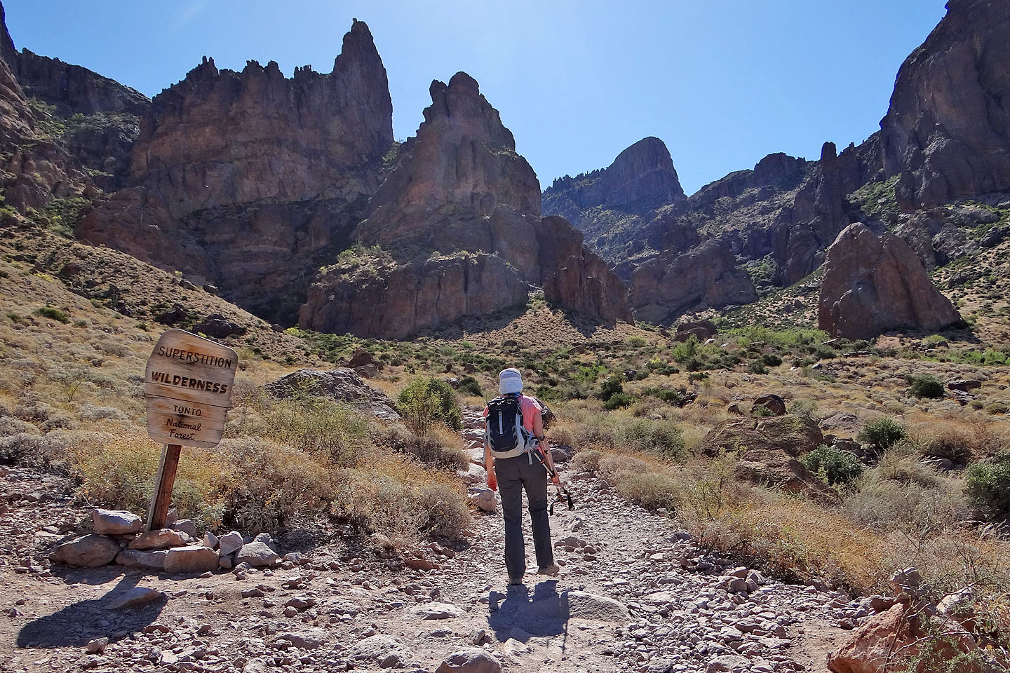
Entering Superstition Wilderness
Looking back
Entering the canyon
Ahead is the slick-rock basin
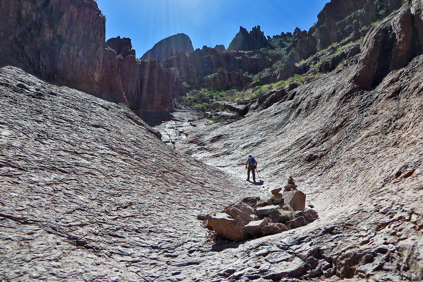
Hiking up the basin
Looking down at the basin
The trail runs left to right over this rise (I'm faced the wrong way because I'm taking photos of lizards)
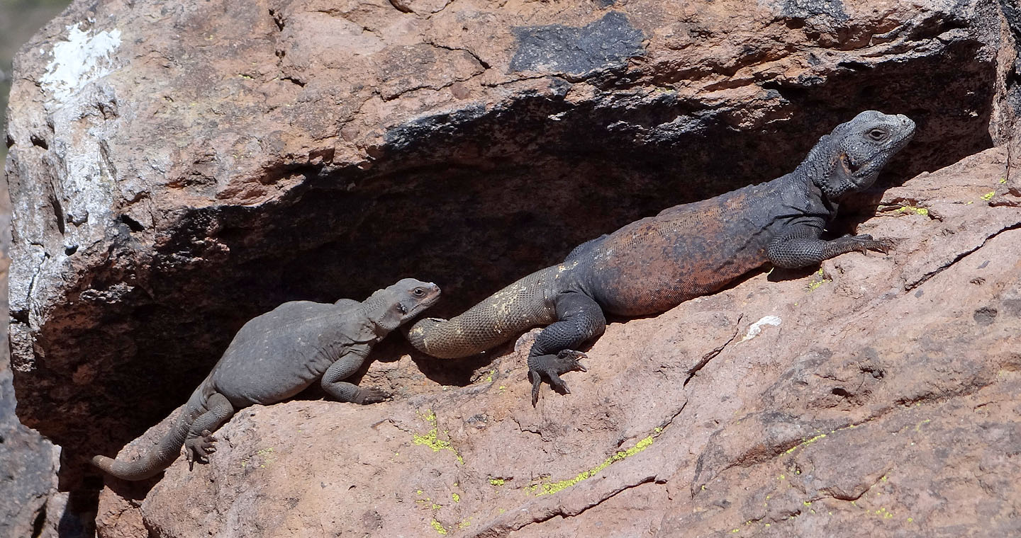
Chuckwallas basking (mouse over for a close-up)
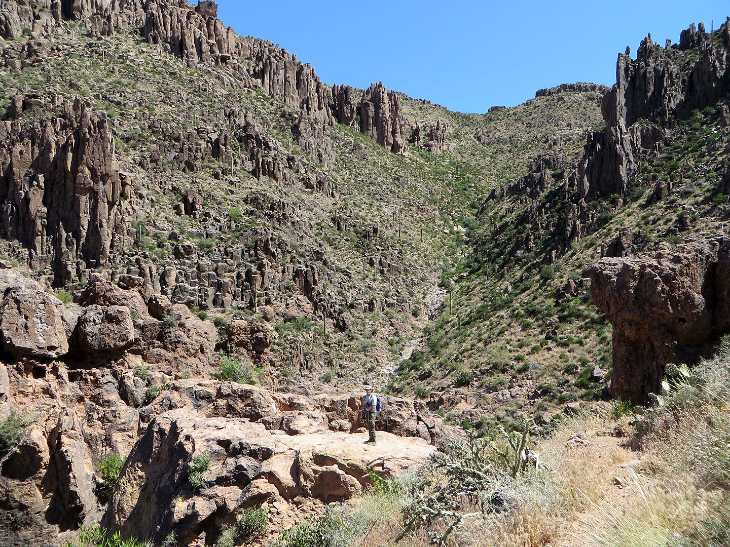
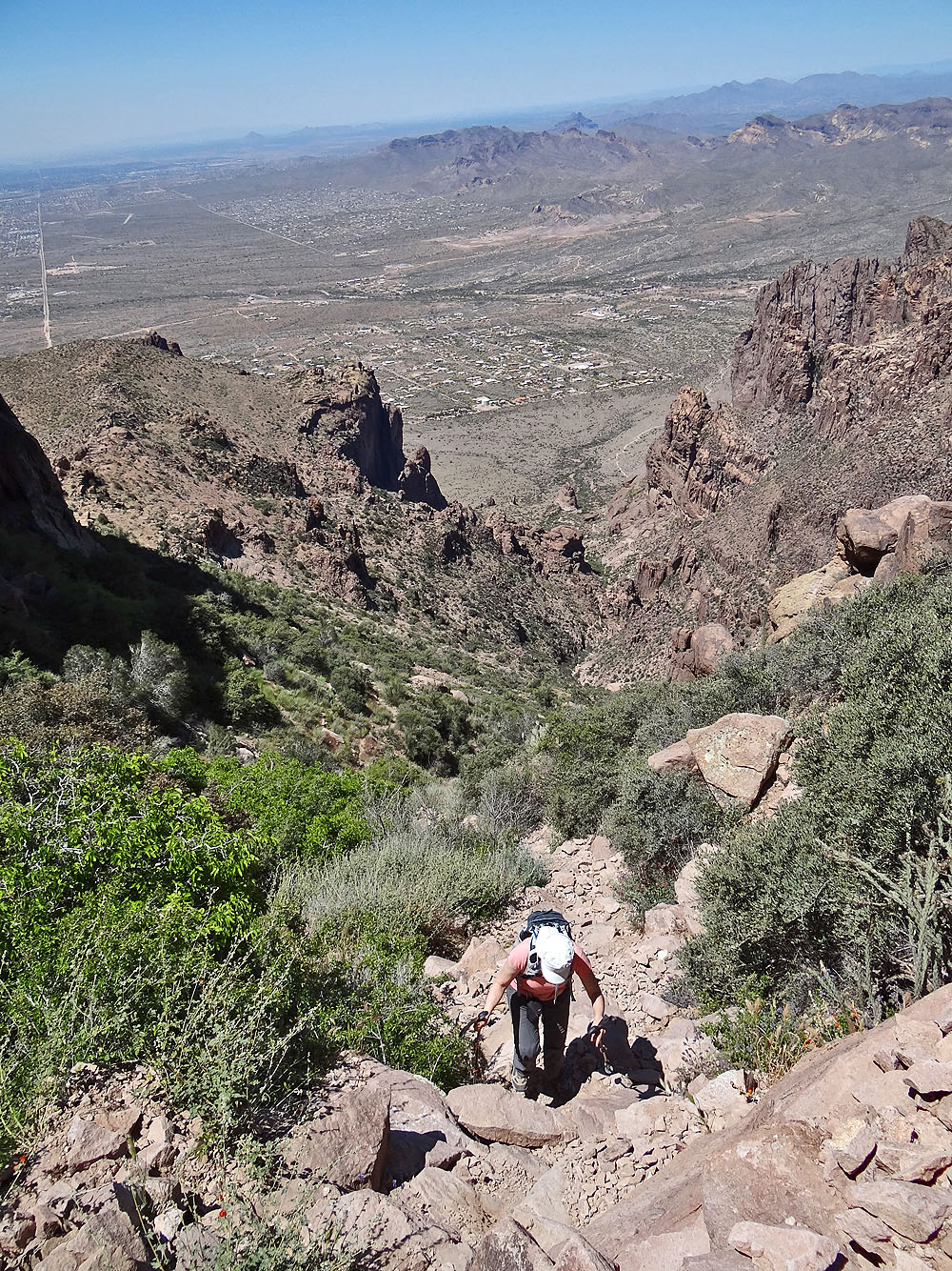
The route follows the wash below Flatiron
Dinah starts down the other side of the saddle
I followed Dinah down
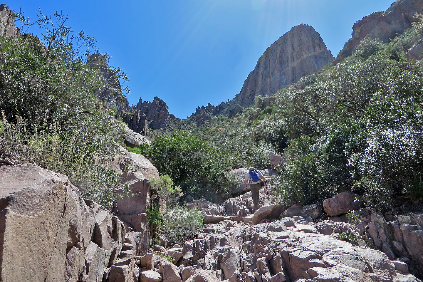
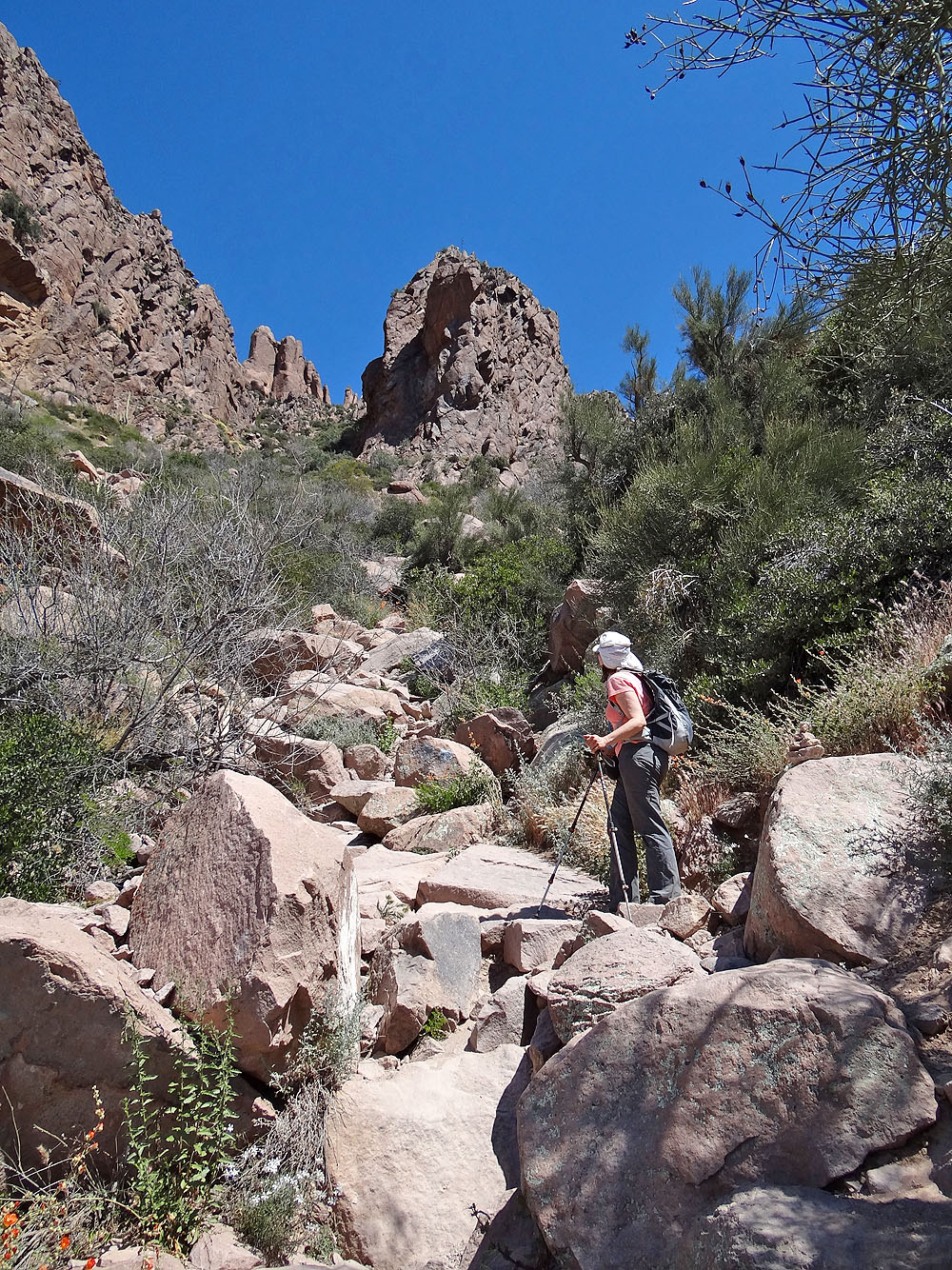
Following the main trail
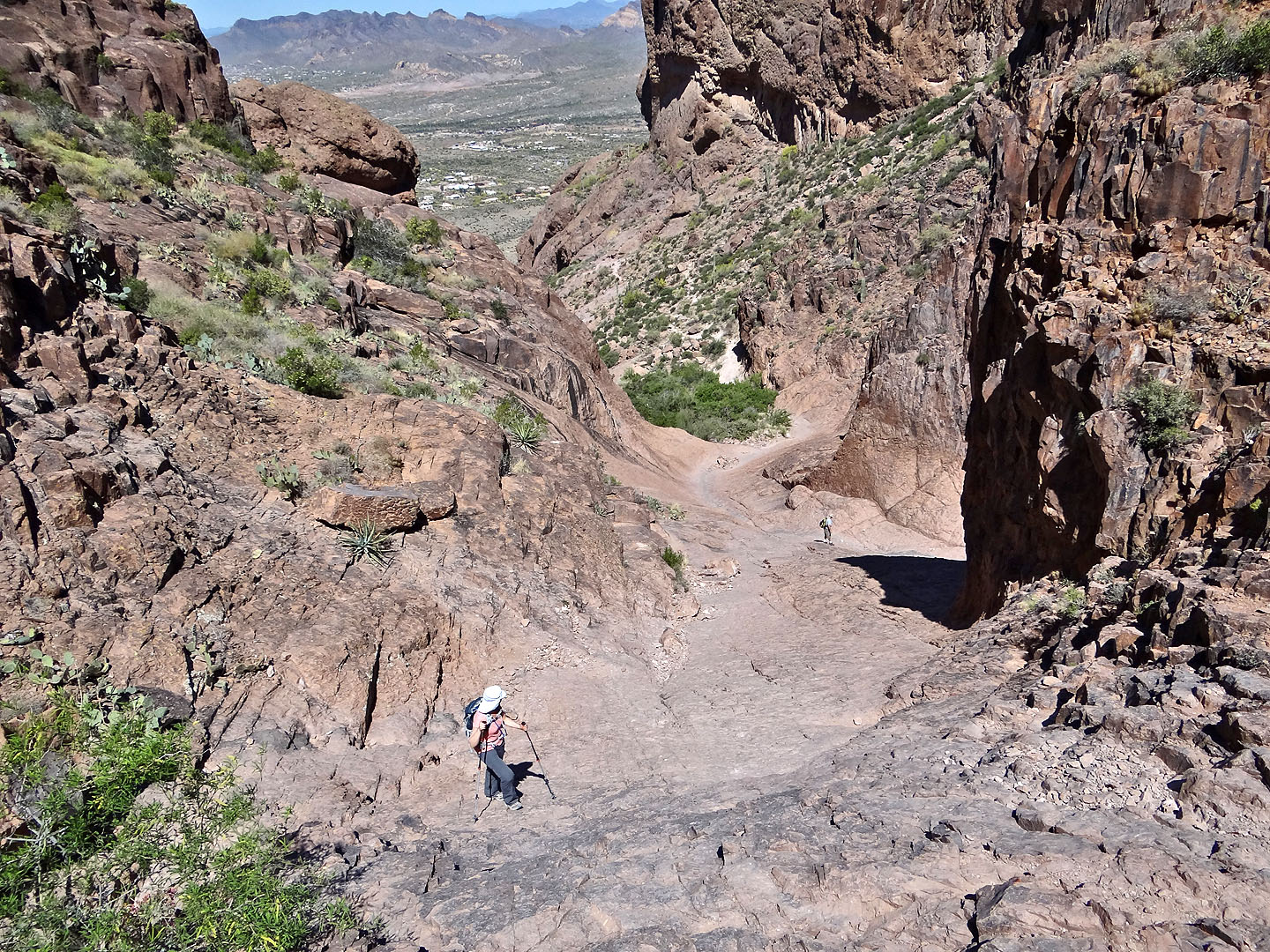
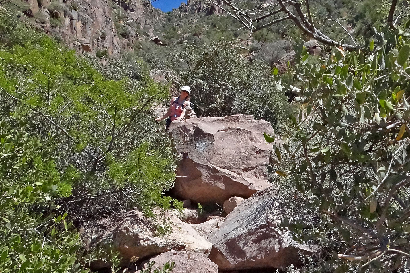
We were probably off the main route here. Below is a hiker coming up.
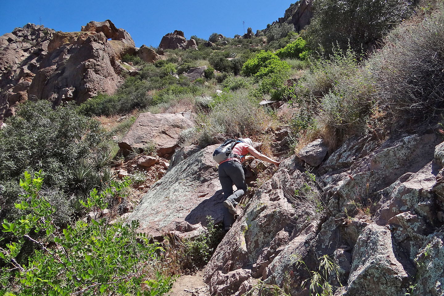
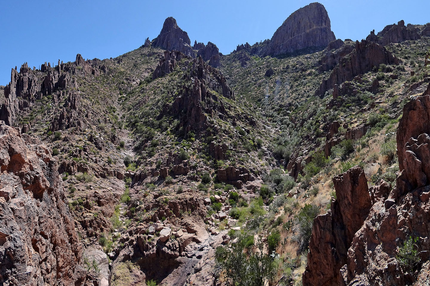
The grade ahead eases for a while
Back onto another steep section
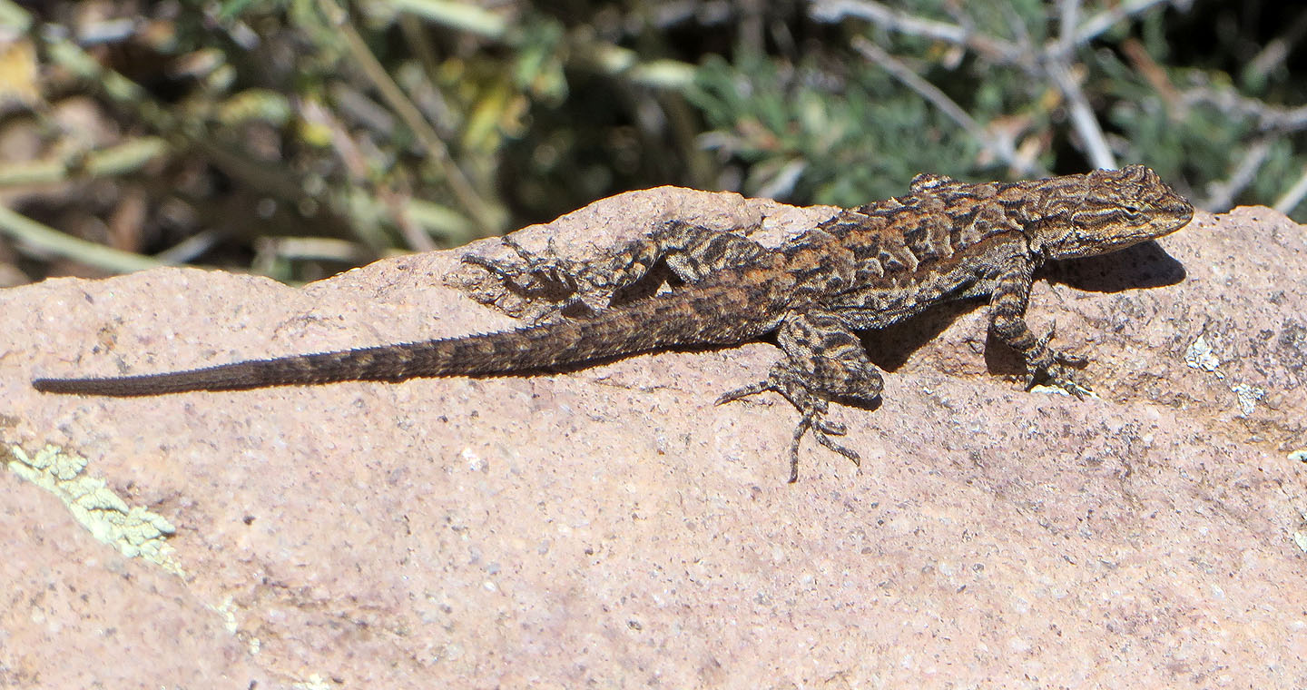
Spiny lizard
At the bottom of the crux, we're almost level with Flatiron
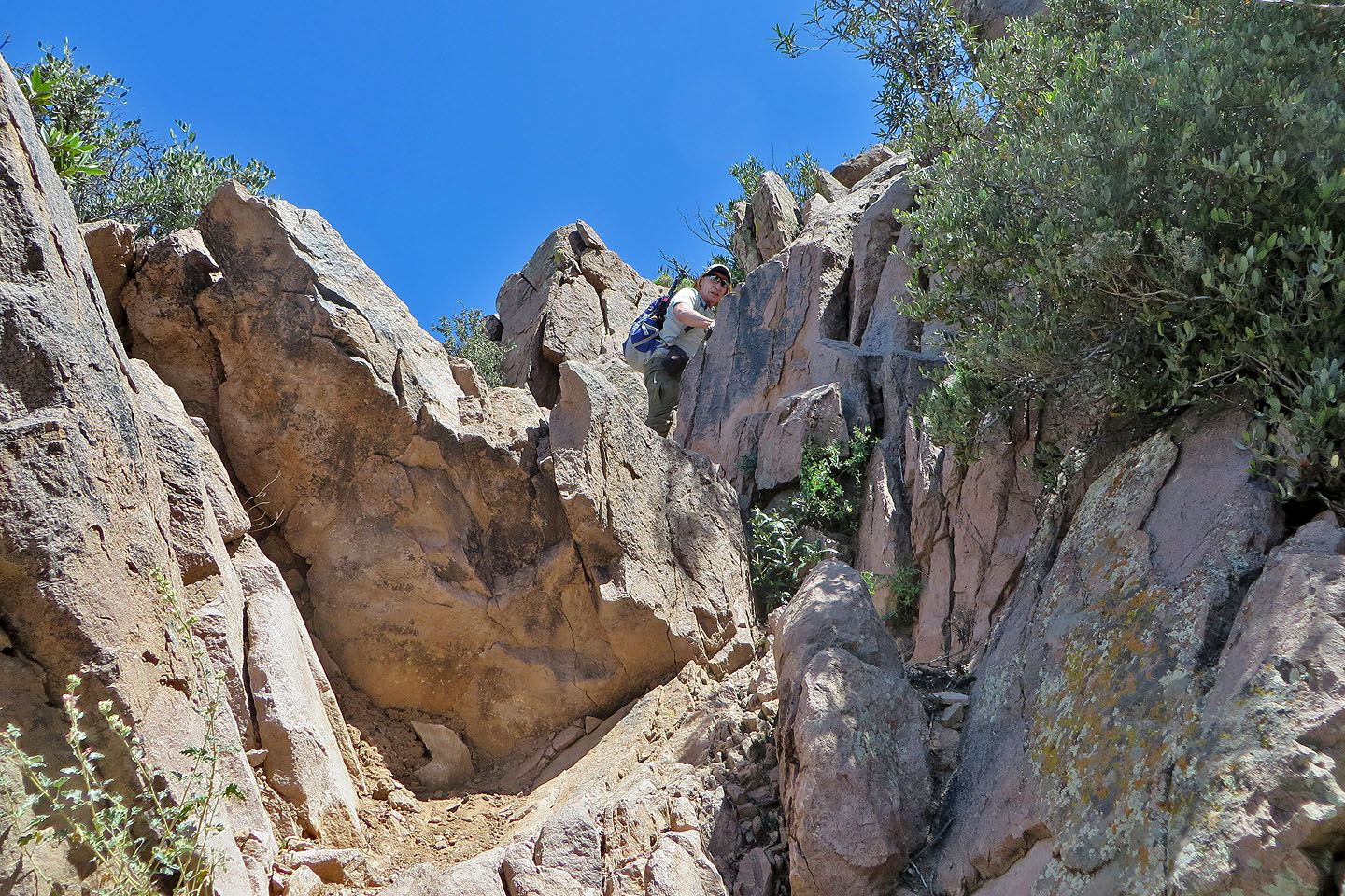
I started up the crux
After a ten-foot scramble, it's a walk to the top of Flatiron
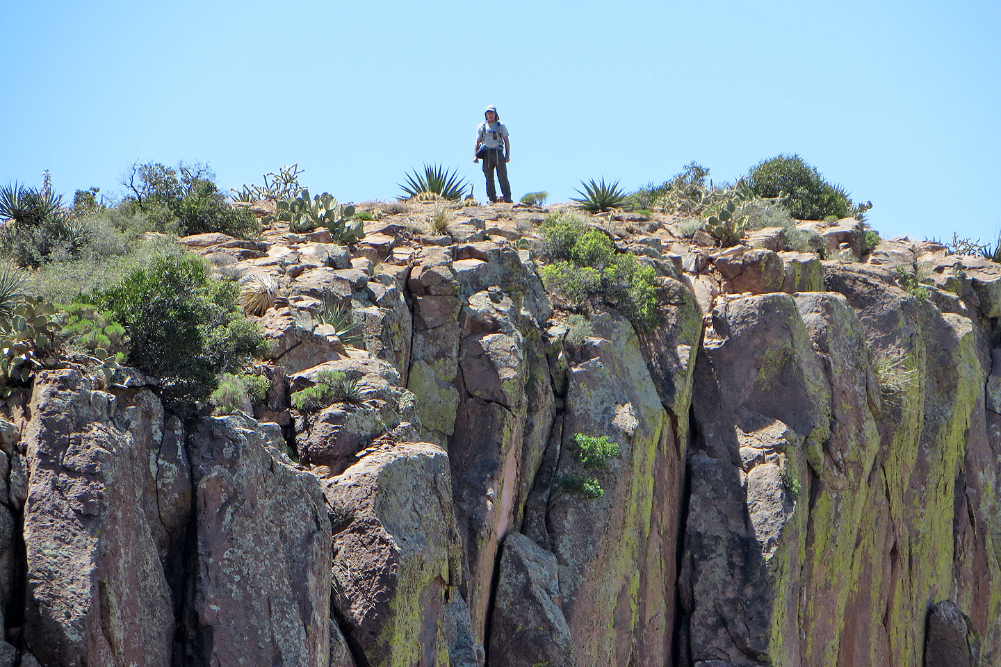
Looking back at Dinah in the centre, at the top of the vertical white rock line
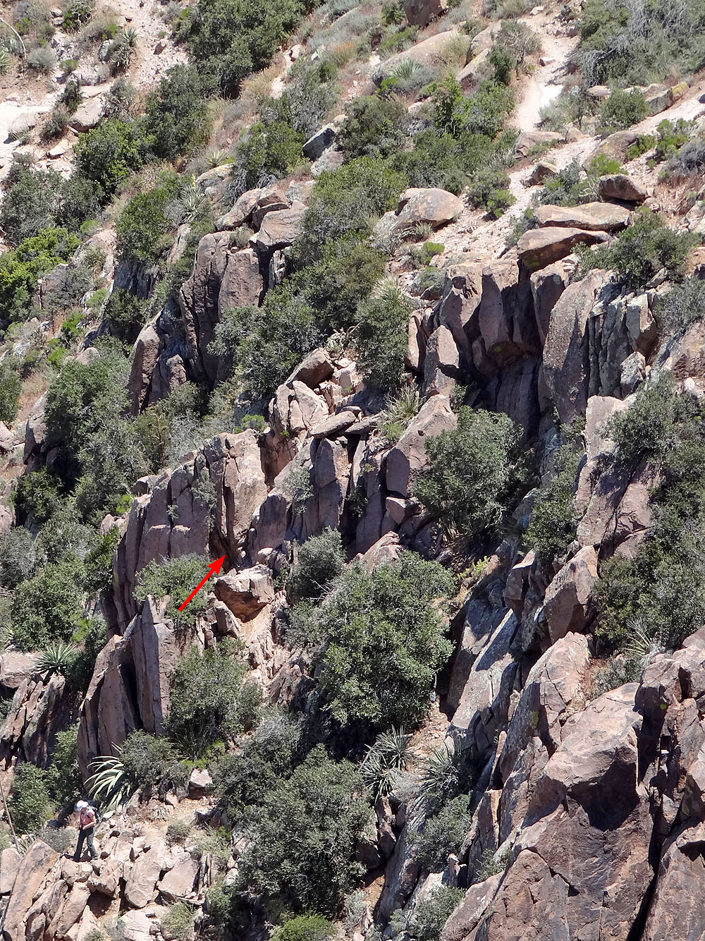
Arrows indicates the crux. Dinah is in the bottom left corner of the photo.
Dinah's view of Flatiron (mouse over to pull back)
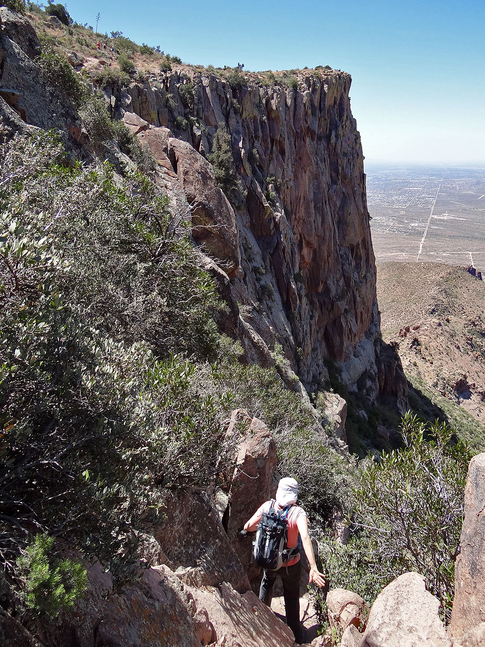
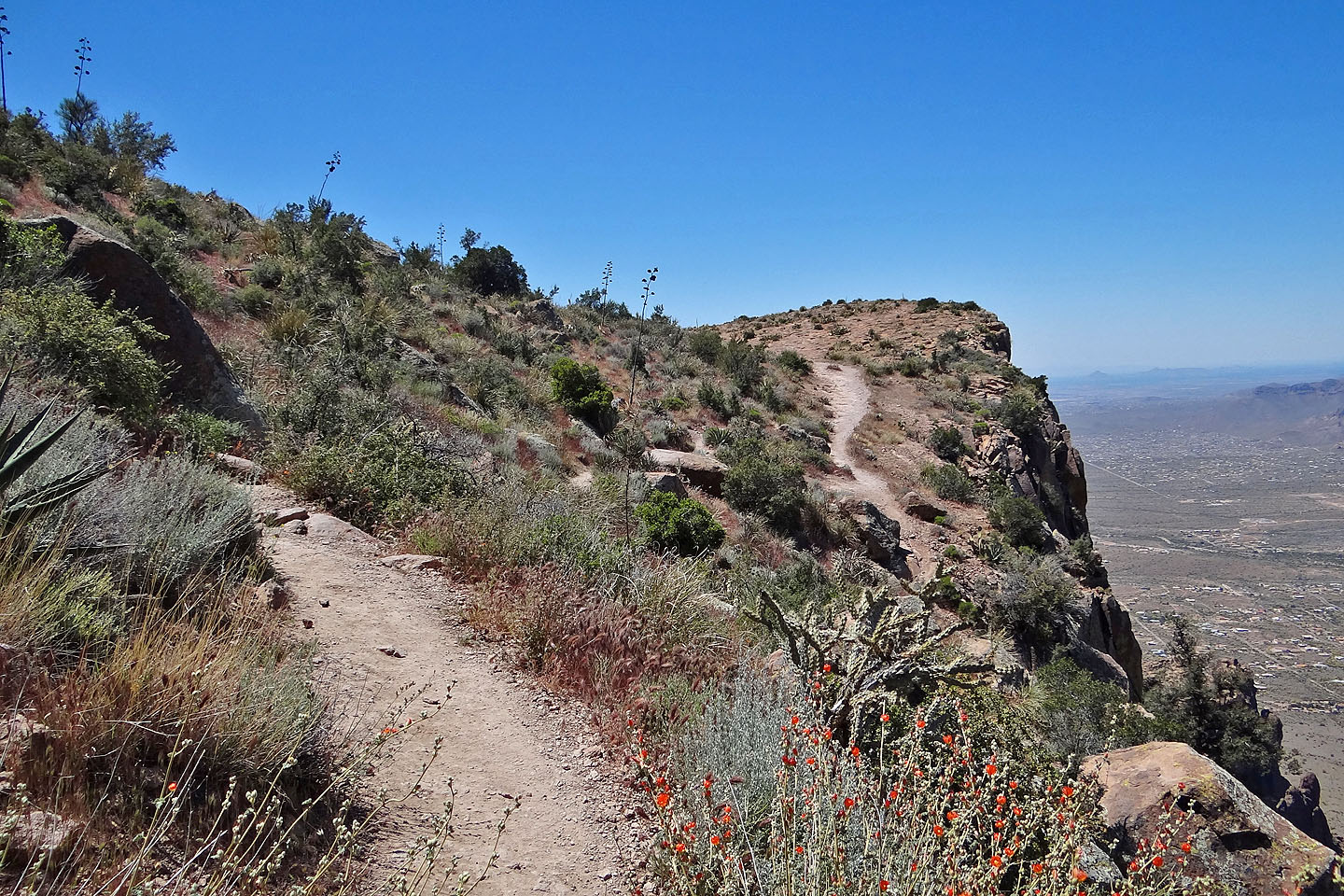
Back on the main trail
Cairns and paint dots indicate the main trail, but the dots are faded and cairns tiny; both are hard to spot
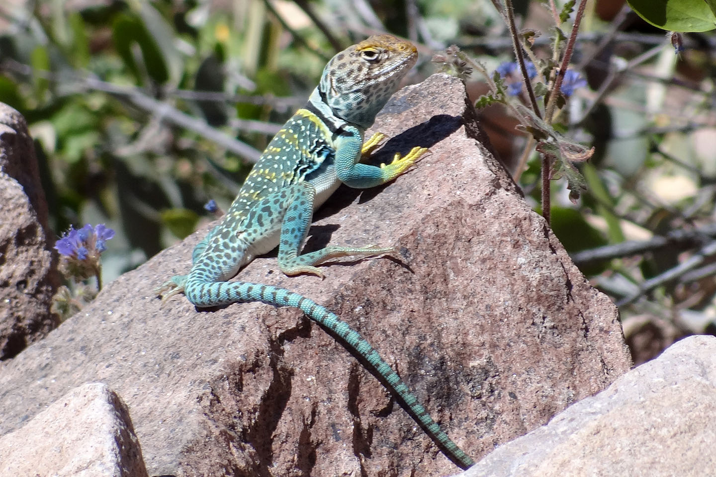
Eastern collared lizard
Back at the basin
Dinah makes her way down
Goldfield (5.7 mi, 4692 ft, 2608 ft)