bobspirko.ca | Home | Canada Trips | US Trips | Hiking | Snowshoeing | MAP | About

Butcher Jones Peak
Tonto National Forest, Arizona
January 27, 2023
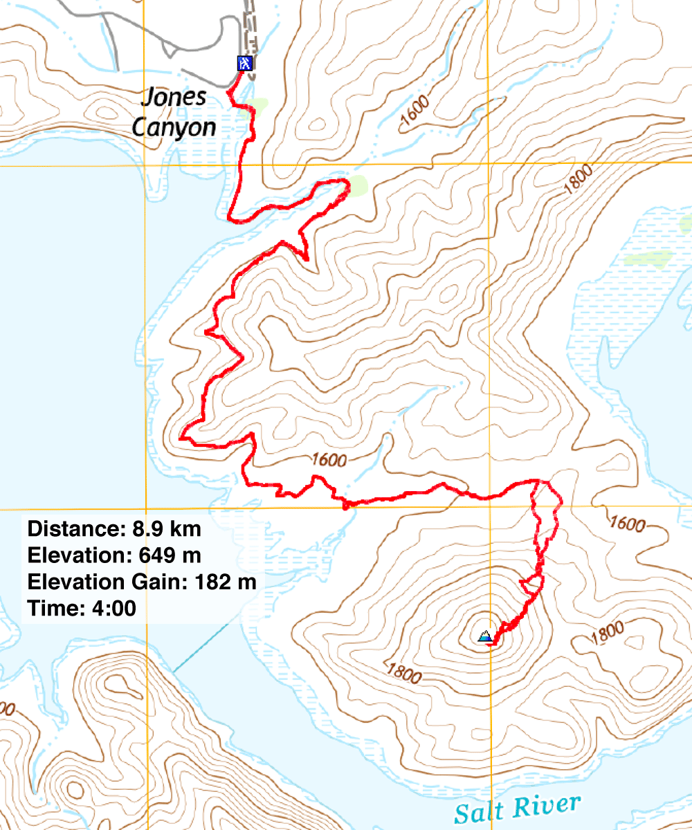
Distance: 8.9 km (5.5 mi)
Cumulative Elevation Gain: 253 m (830 ft)
Butcher Jones Peak stands out from other desert peaks by being nearly surrounded by water. The solitary peak occupies the end of a peninsula bounded by Saguaro Lake west and Salt River east and south. The idea to climb Butcher Jones Peak came from Stavislost.com. Stav also named the peak after Butcher Jones Trail which passes the base of the peak. But don't expect to find solitude on the popular path.
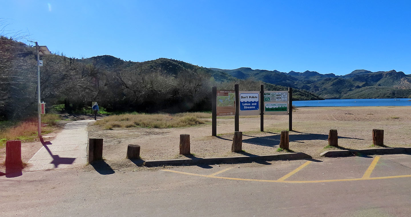
Butcher Jones Trailhead is about an hour's drive east of Phoenix. On the way to the trailhead, Dinah and I stopped at a Chevron gas station on Highway 87 to buy an $8 Tonto National Forest day pass. Good thing we did. We were 20 minutes away with no other prospects of getting a park pass. Even the fee machine at the trailhead was out of service. There's a $100 fine for not having a valid pass.
The trail began in shady trees but soon emerged onto a desert landscape under bright sunlight. The path mostly hugs the lakeshore before turning to cut across the peninsula. That's when Butcher Jones Peak pops into view, a rugged-looking monticule. The trail crosses a low pass and continues to Burro Cove, but we exited the trail at the pass and headed to the peak. The trail remained busy with hikers, but we gratefully ascended the mountain in solitude.
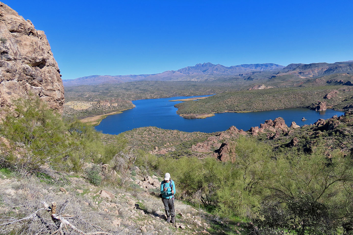
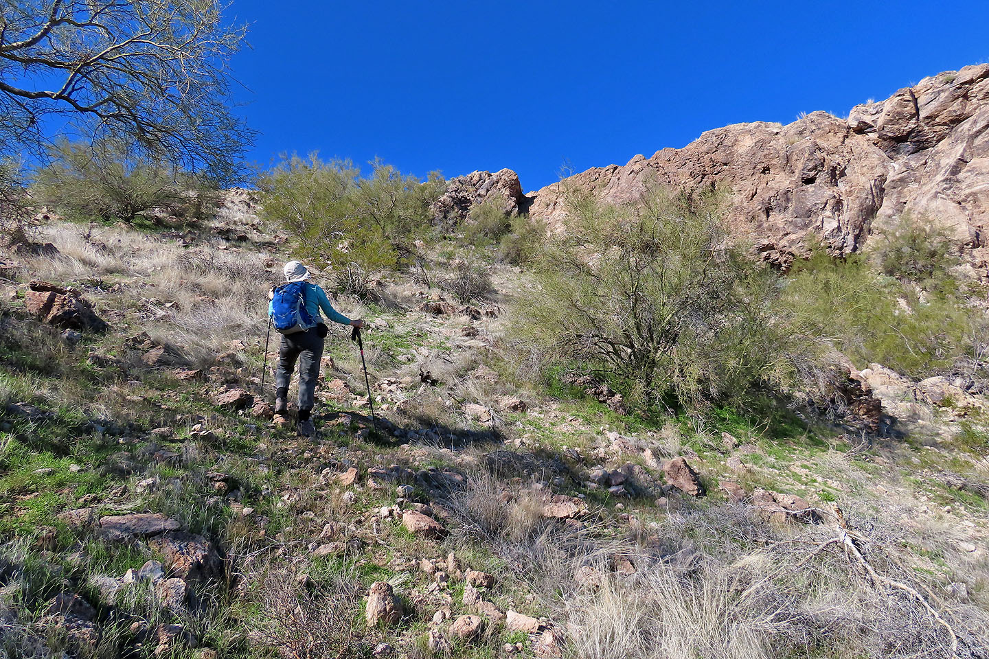
Immediately we were confronted by dark tall cliffs guarding the west end of the summit. Stav suggests going around on the right, but we went left. Peppered with small, grassy glades, the left slope appeared more attractive than the scrubby, rocky right side. A steep hike circumvented the cliffs and brought us to the accessible east end of the little summit. We had a fine view of the azure water that rings the peninsula and the dark mountains across the river before we turned around. We returned to the pass and ambled back along the pleasant trail.
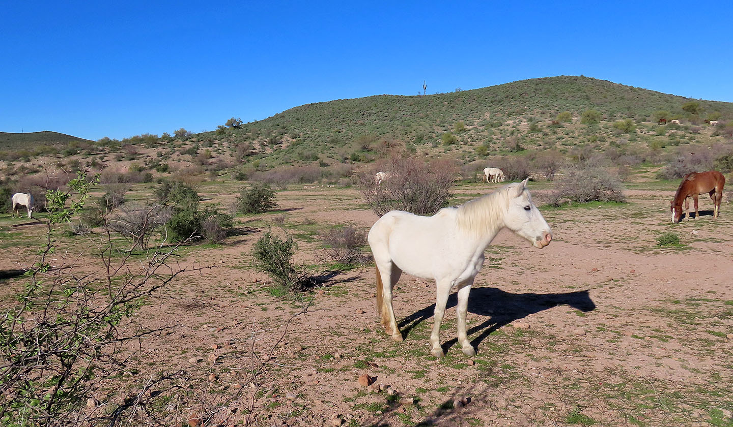
Cars stopped everywhere along Butcher Jones Beach Road to view wild horses on fenced land. When we stopped, we had the good fortune to talk to a manager who pulled up. She told us there were 420 horses. In dry years they assist in feeding, but otherwise they are left alone to remain wild.
Starting up the trail. Saguaro Lake on the right.
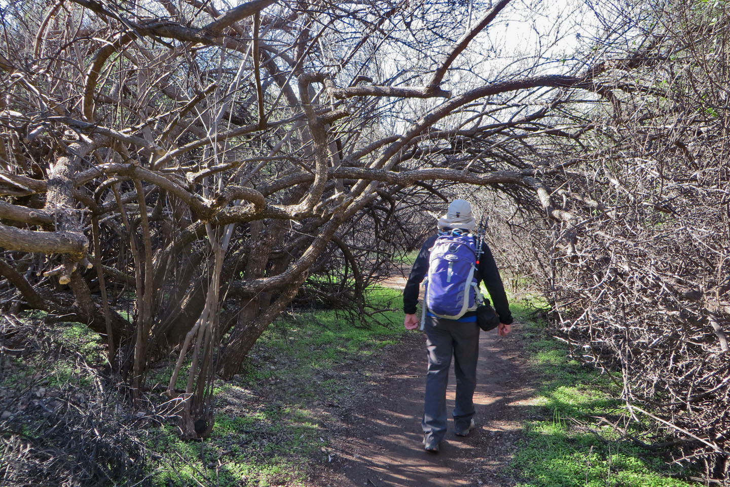
The trail tunnels through mesquite bosque at the start
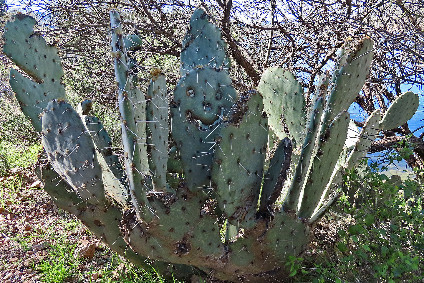
A prickly pear cactus bears a smiley face
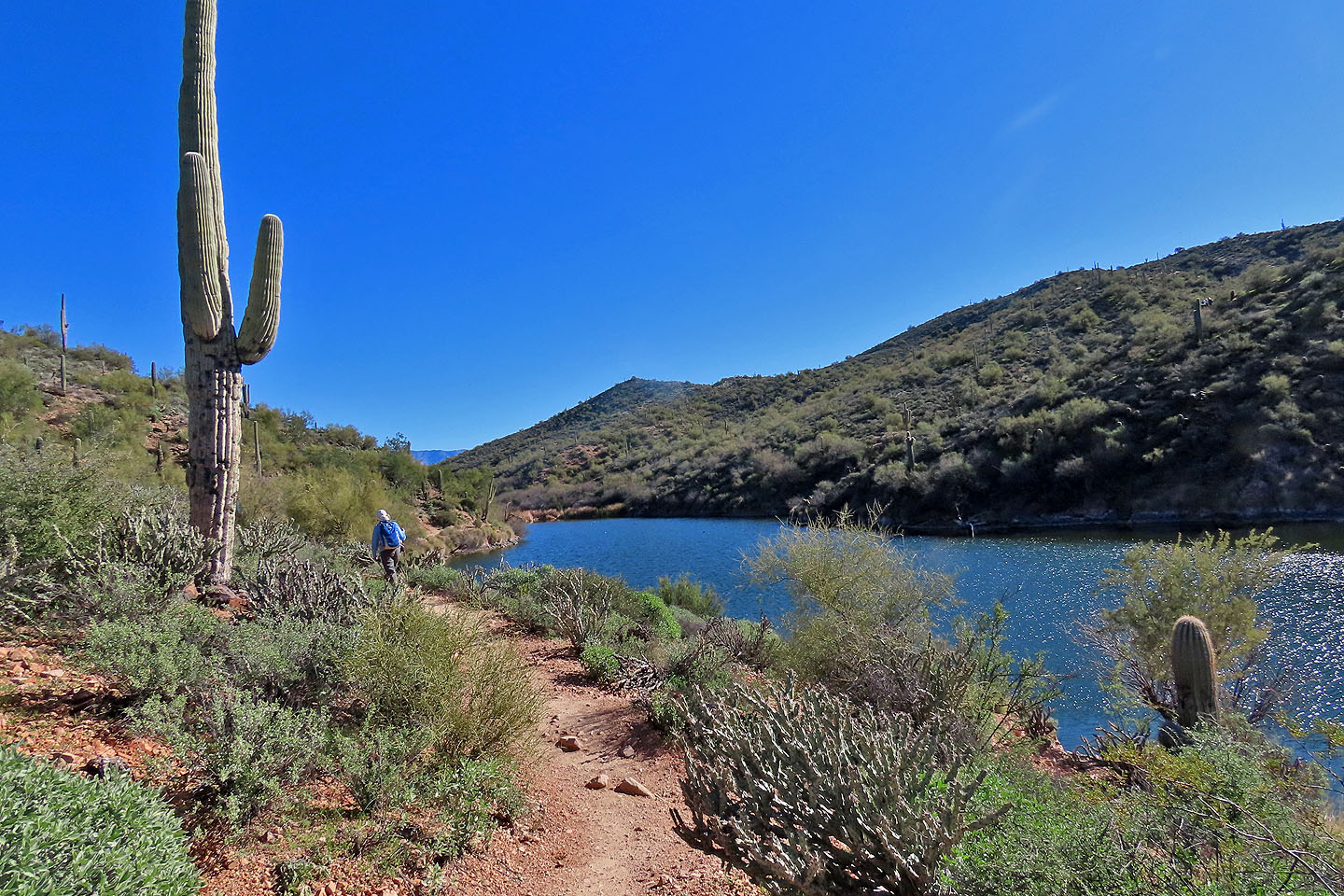
The trail wraps around an inlet
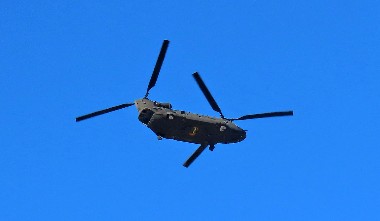
Must be near a military air base as we saw helicopters flying over the lake
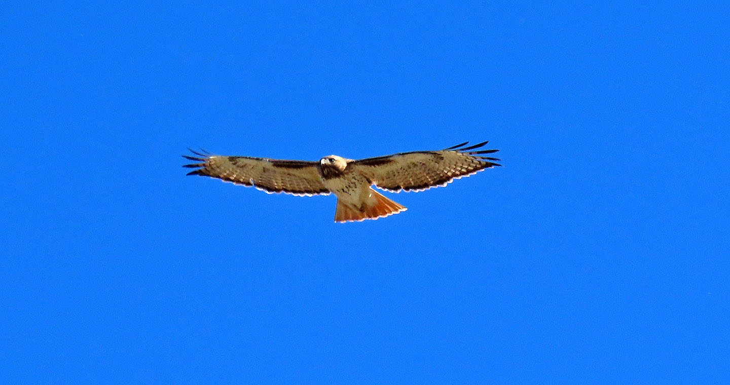
We also saw a hawk flying
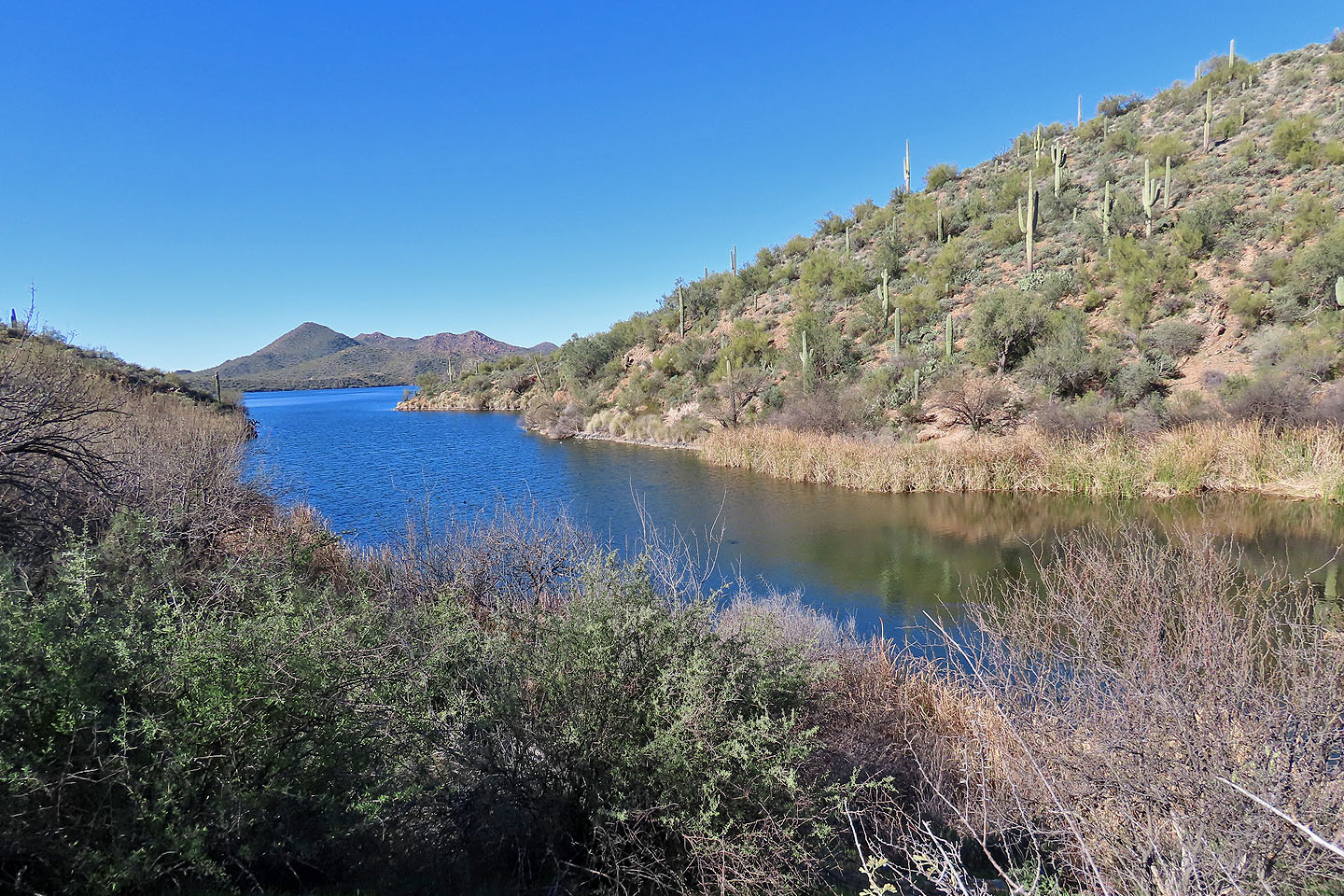
Looking at the inlet after reaching the other side
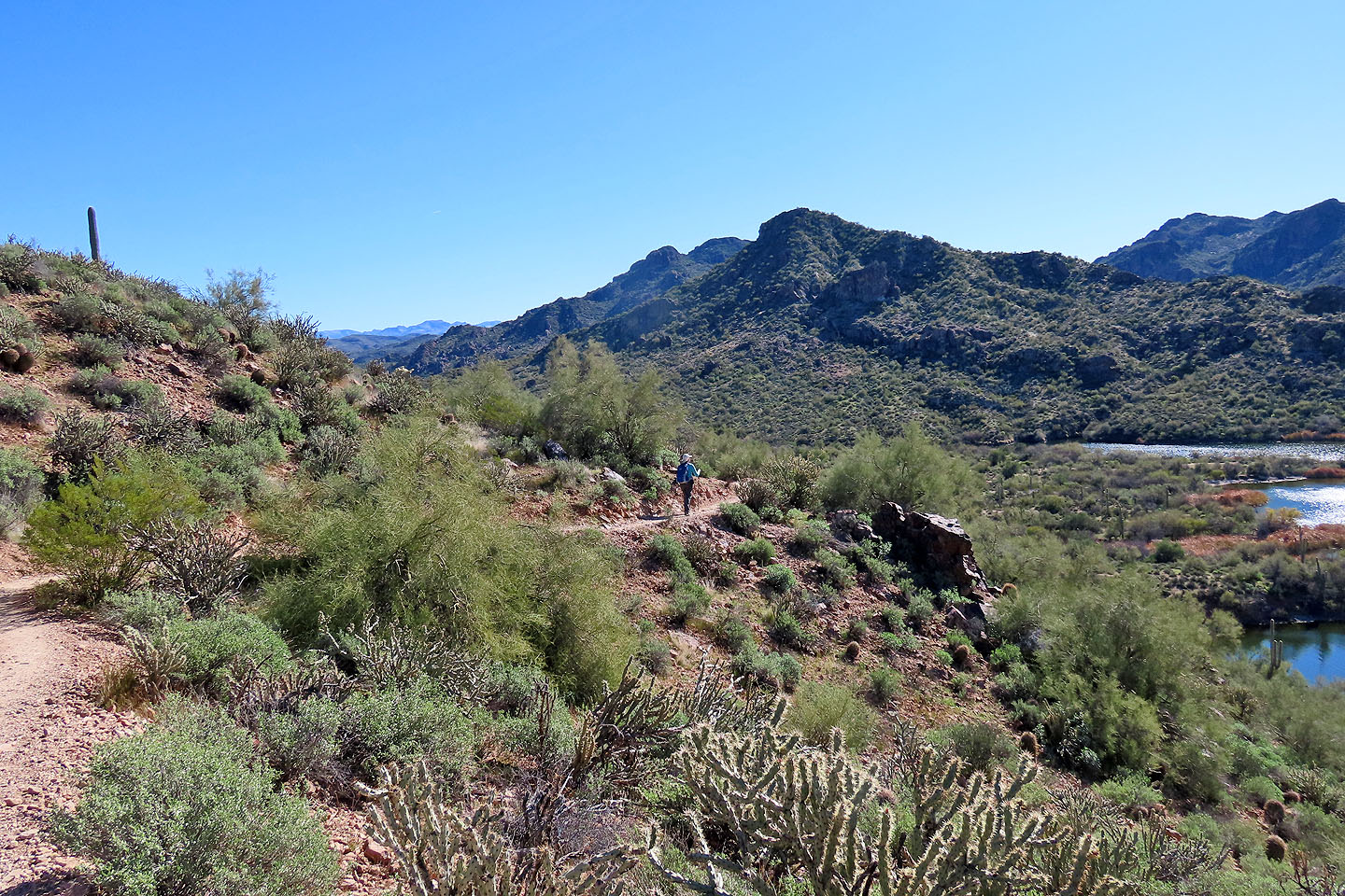
The trail climbs above the lake before dropping down
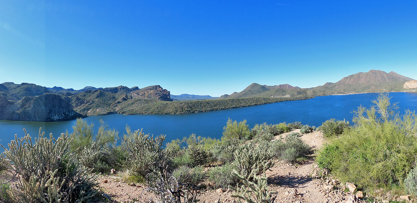
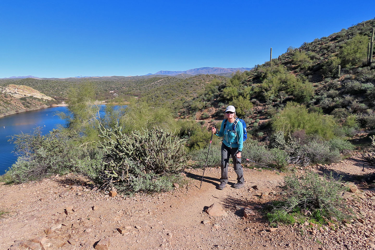
Looking across Saguaro Lake from the high point
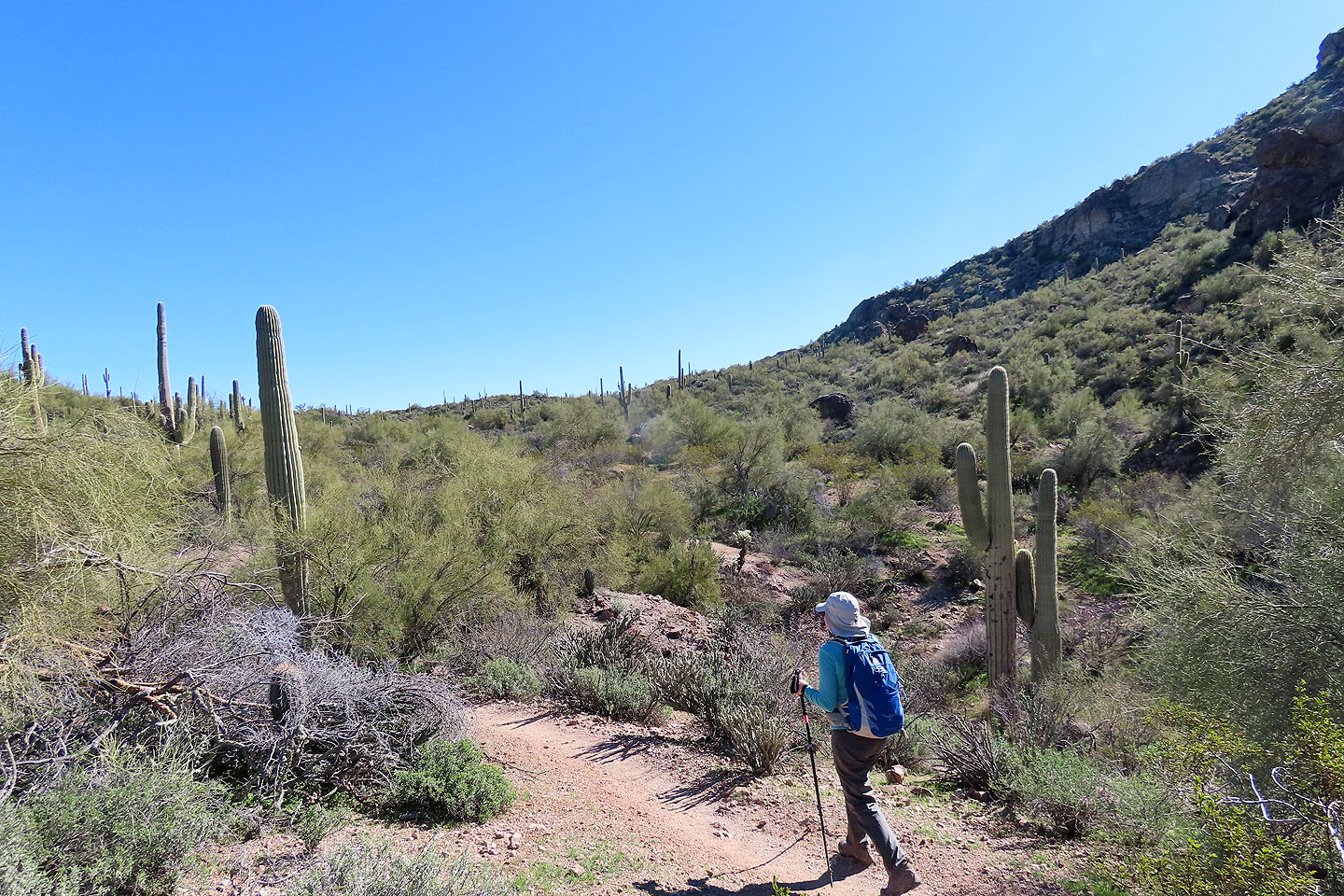
After rounding a bend, we got our first view at Butcher Jones Peak
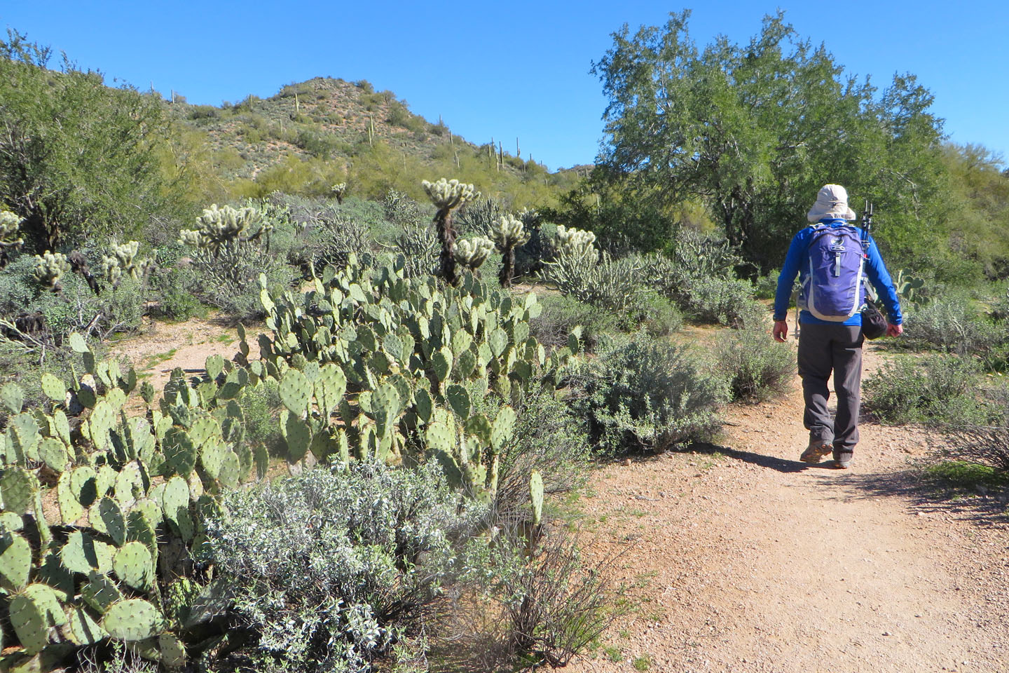
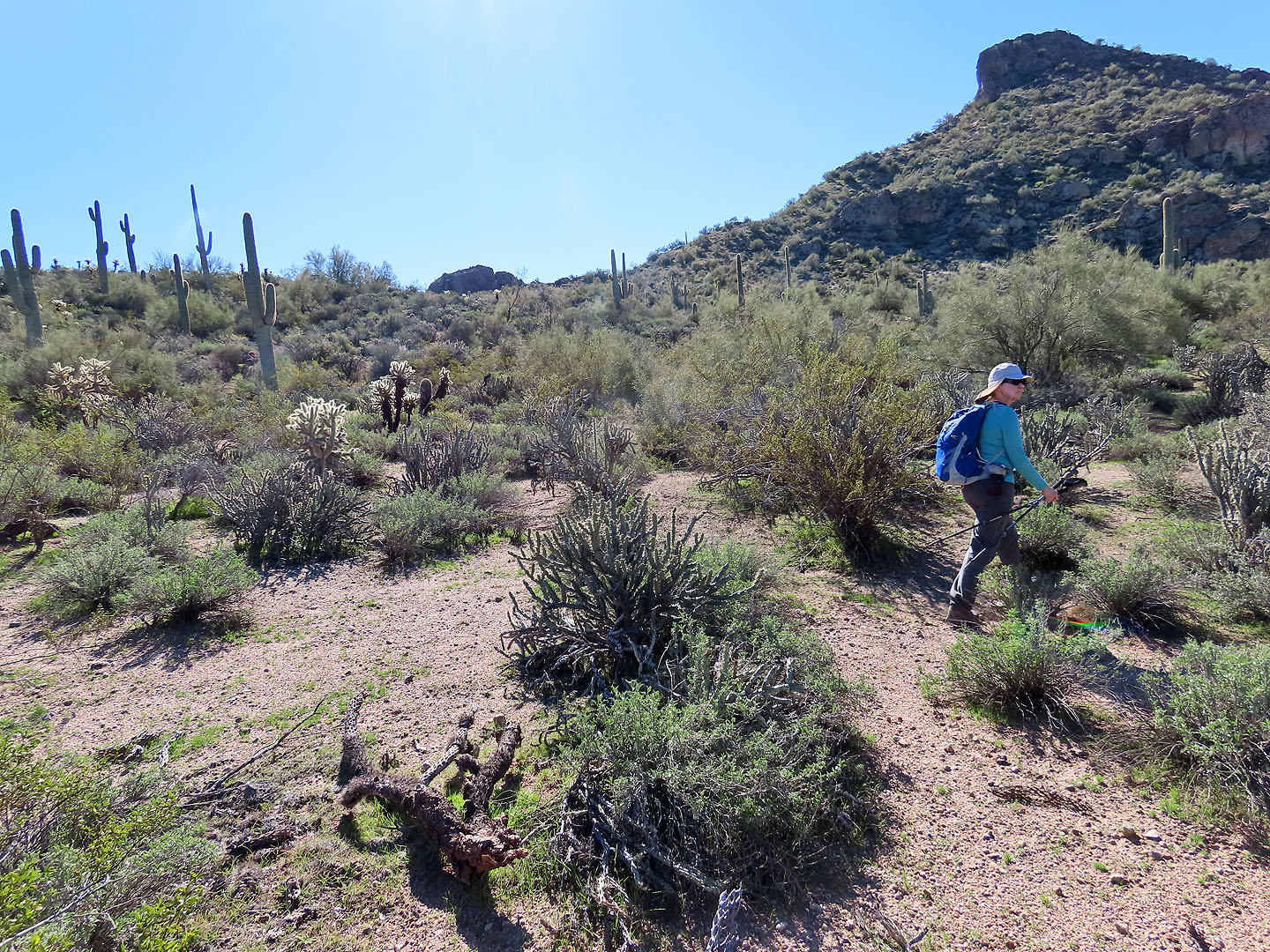
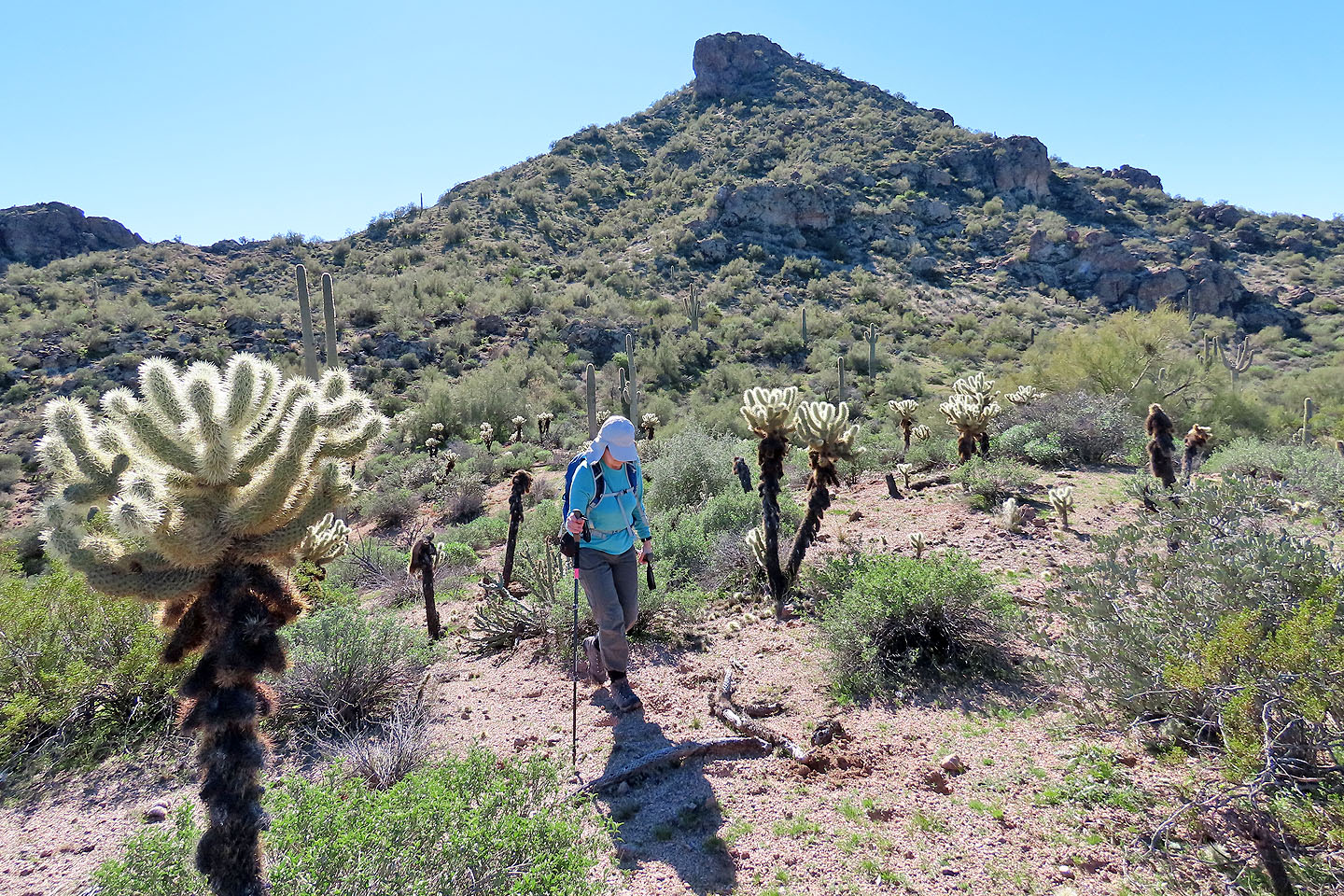
We passed a variety of cactus such as prickly pear and teddy bear cholla
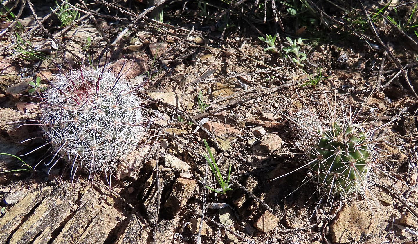
Also we saw small cactus such as fishhook pincushion on the left
As we drew closer, we got a good look at the summit (mouse over for a close-up)
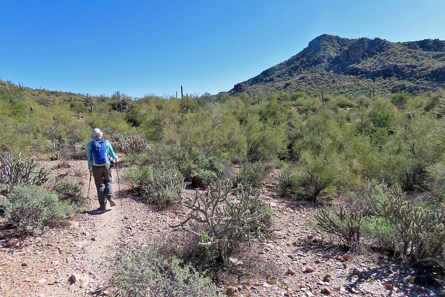
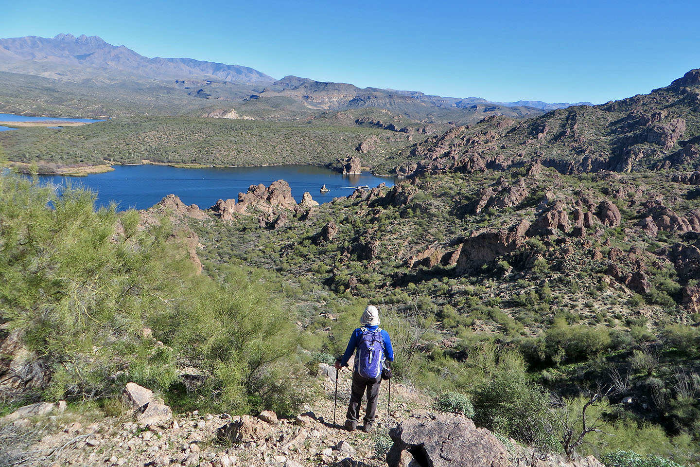
We'll leave the trail at the pass ahead
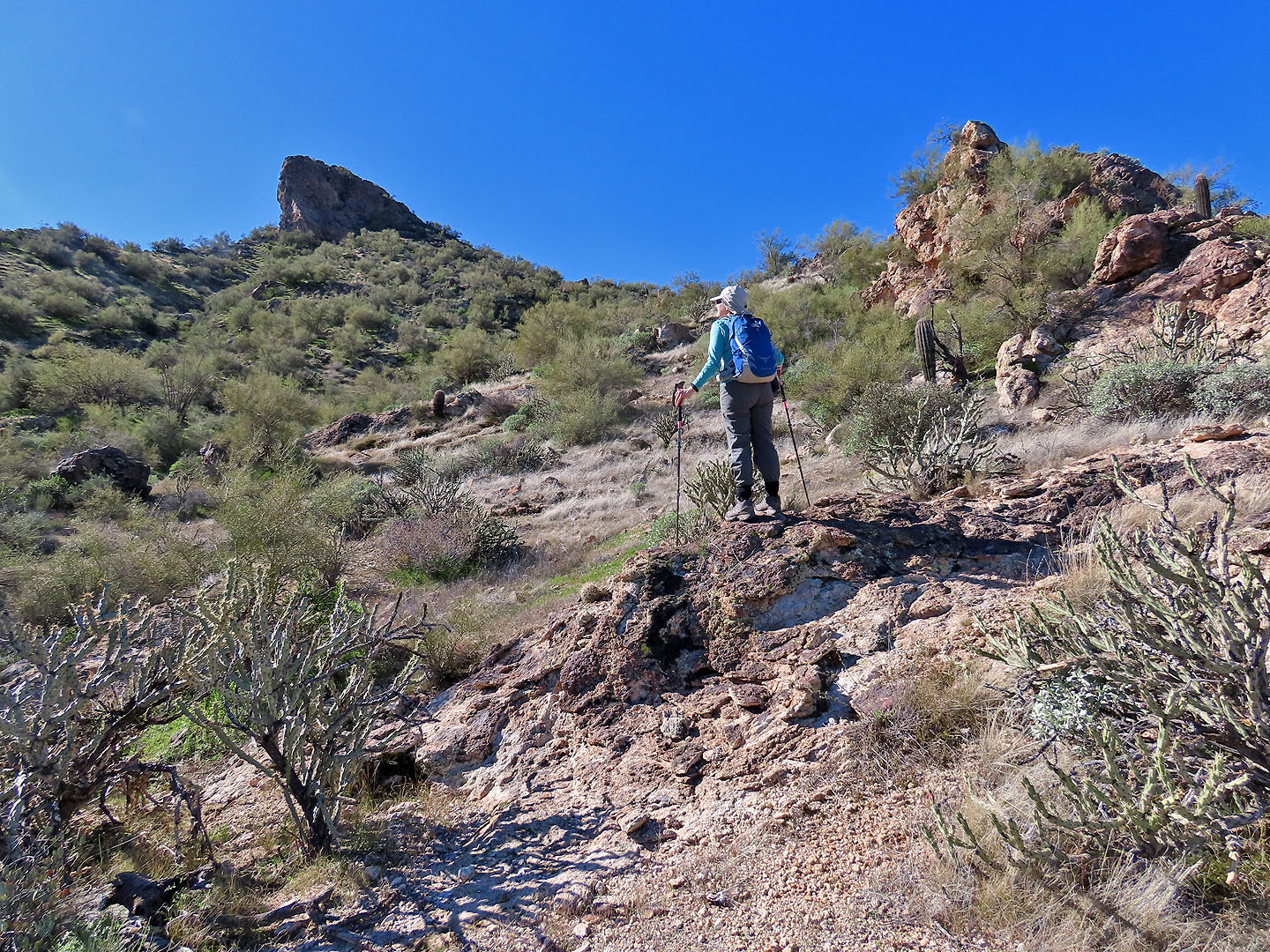
After exiting the trail, we made our way left of the outcrop on the right
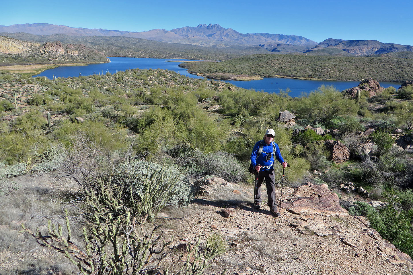
Behind us is Salt River. Burrow Cove is left. In the centre on the skyline are The Four Peaks.
The summit is guarded by cliffs at the east end
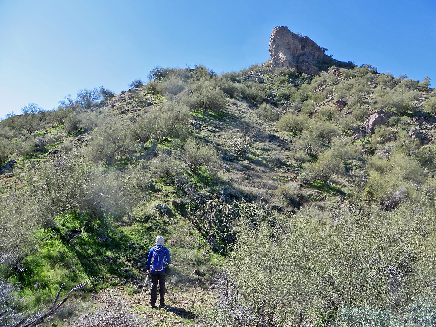
Stav hiked around the right side of the cliffs but we went left which held clearings
We found plenty of open spaces
Continuing to the summit
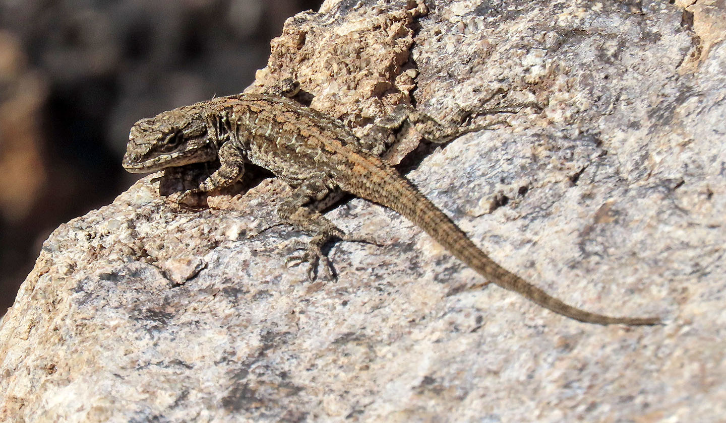
A small lizard stared at us
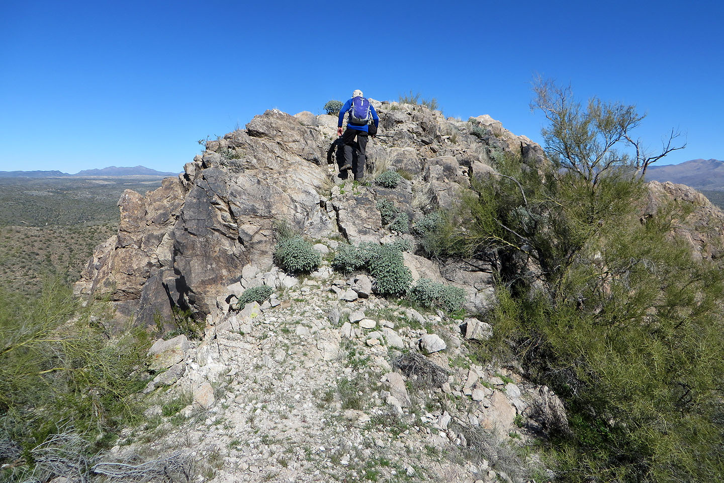
Going up the summit
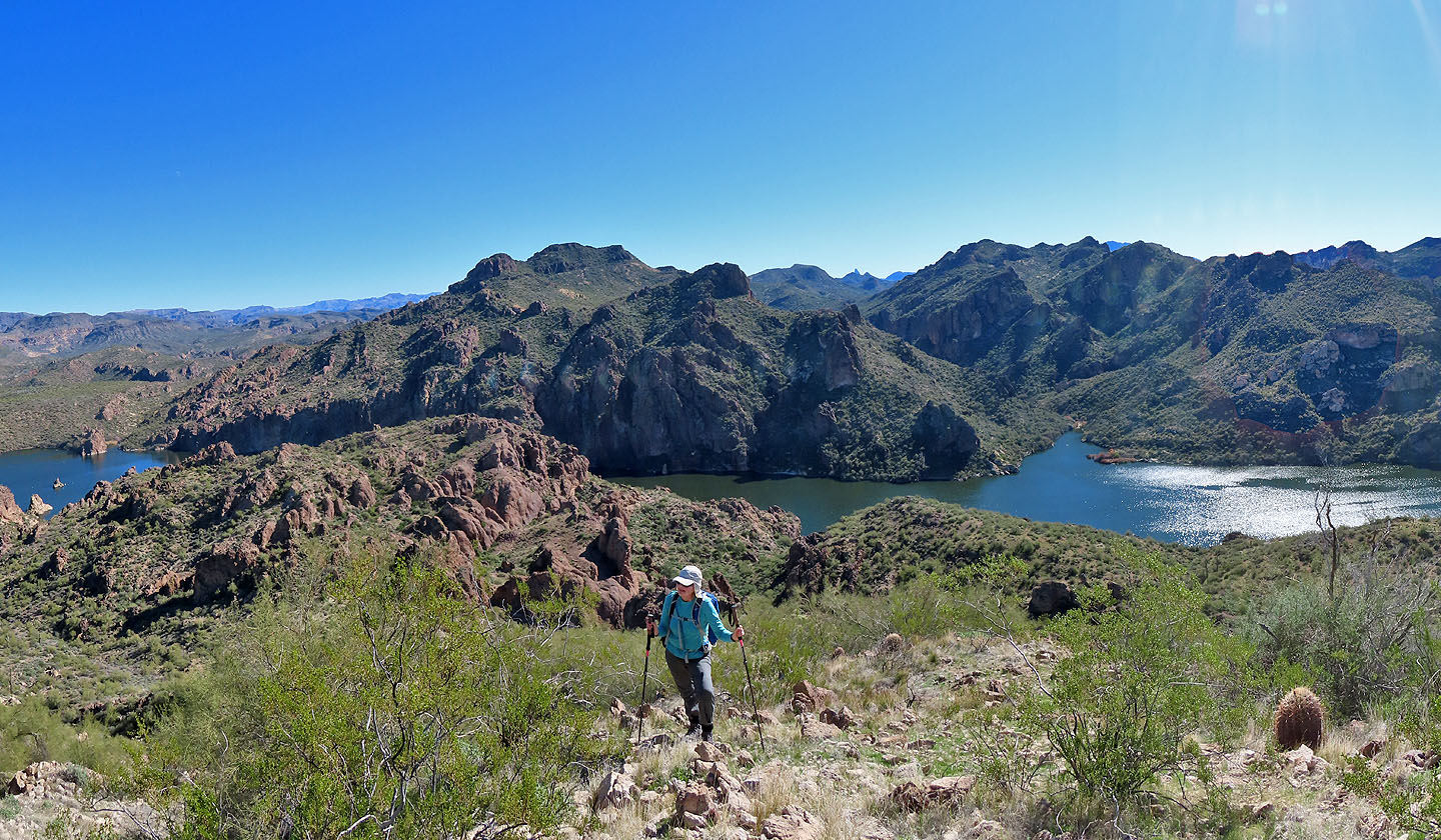
Looking back from the top
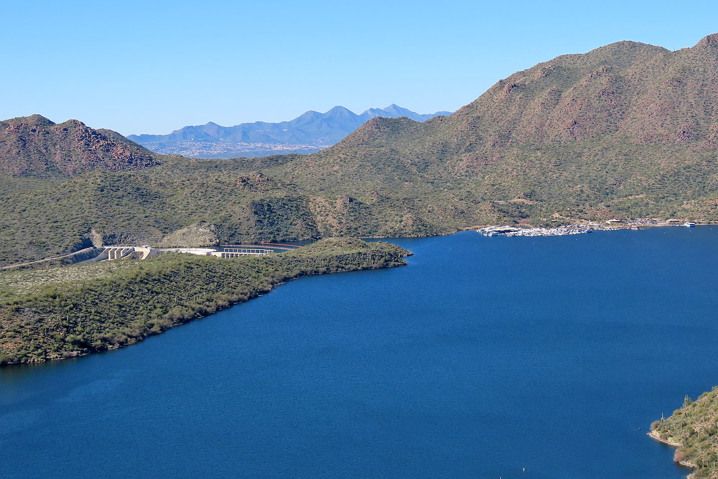
Looking across the lake at Stewart Mountain Dam
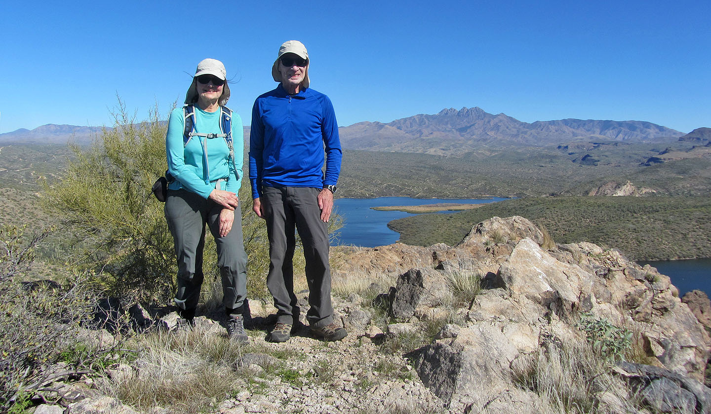
Standing on the summit
Heading back down
Back at the pass
Stewart Mountain (5.6 mi, 2129 ft, 597 ft)