bobspirko.ca | Home | Canada Trips | US Trips | Hiking | Snowshoeing | MAP | About
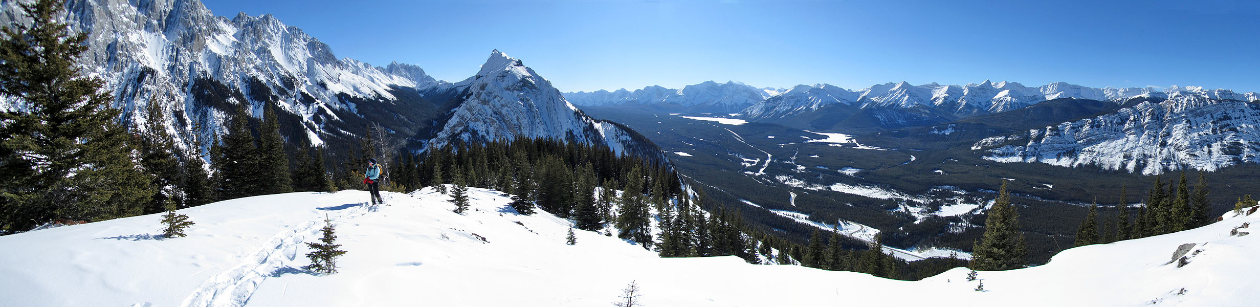
Panorama from our turn-around point
King Creek Ridge
Kananaskis, Alberta
February 20, 2011
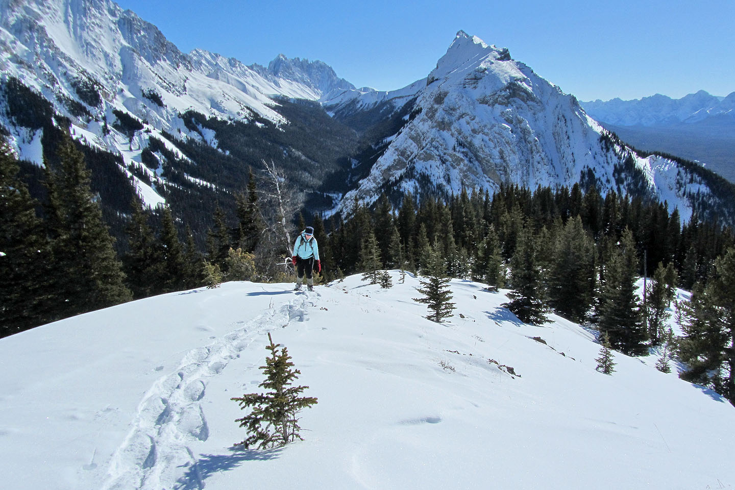
Taking advantage of the incomplete snowshoe trail that we hammered out last week in insufferable conditions up the steep slope, Dinah and I returned to King Creek Ridge. After reaching our turn-around point from before, we still had to contend with pockets of deep, soft snow, but managed to reach the ridge crest in three hours.
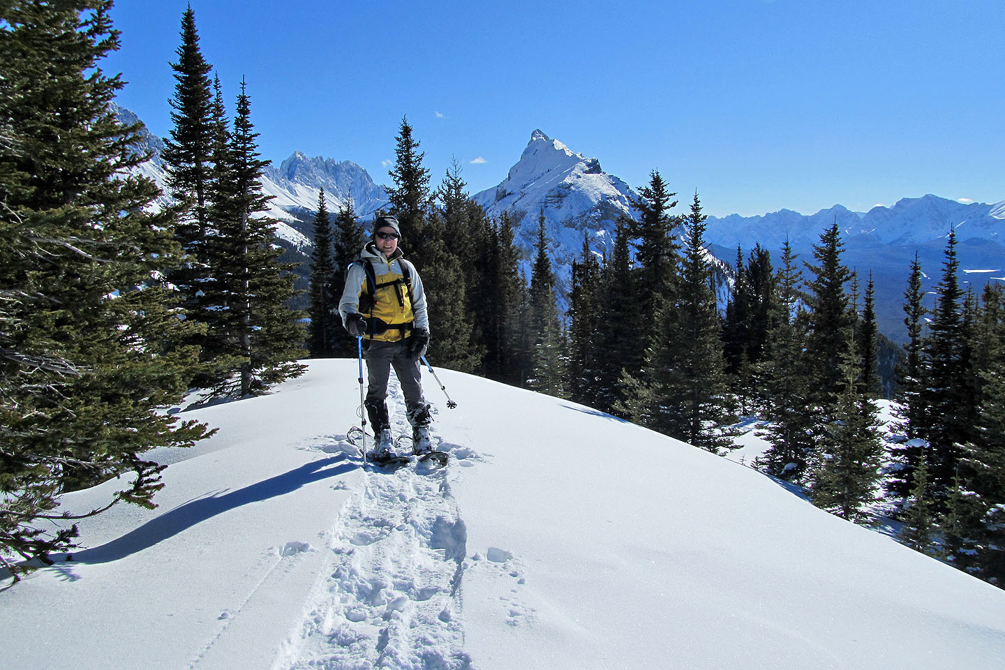
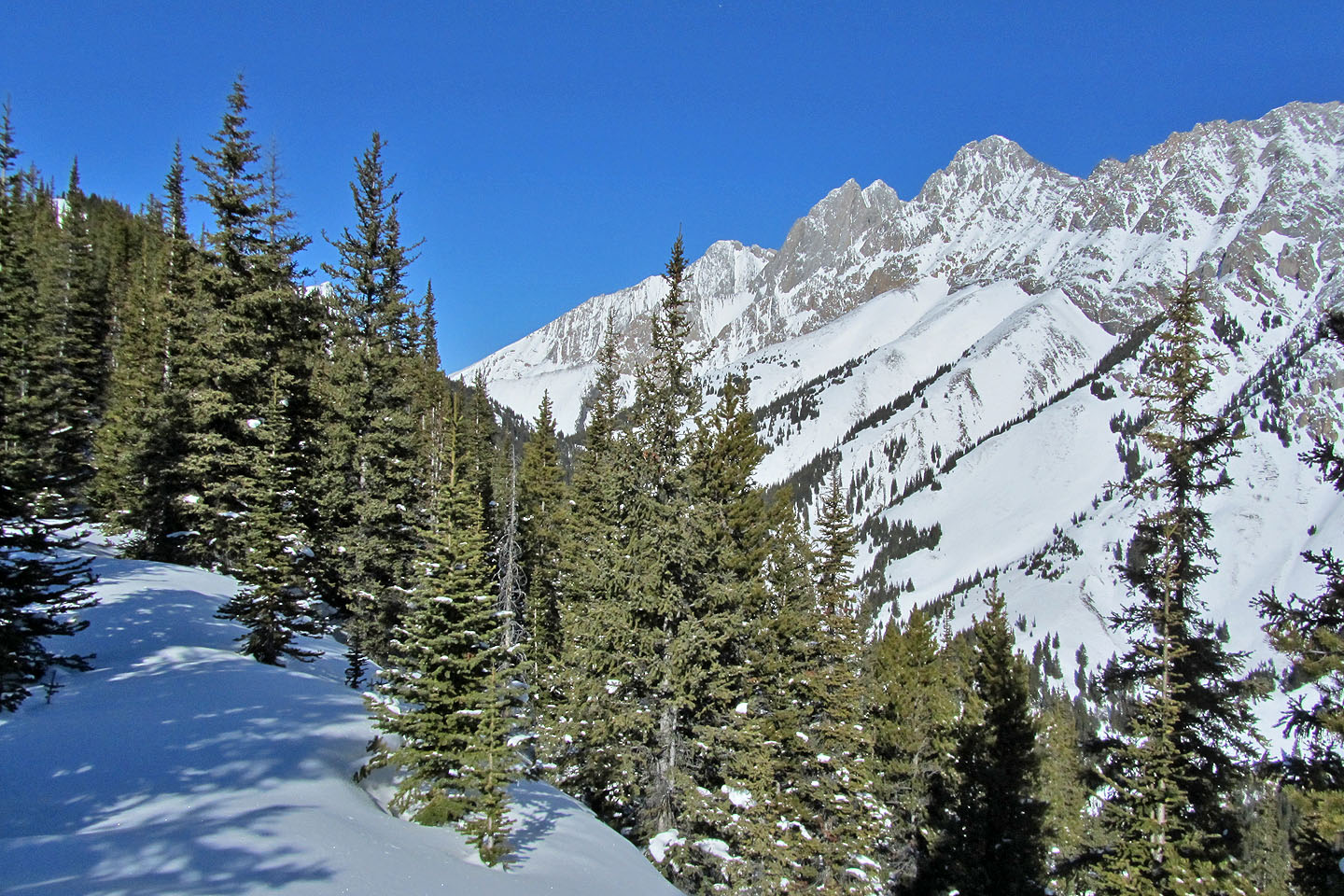
Once on the crest, travel was relatively easy. We snowshoed along a semi-open ridge until the trees closed in. At that point, we had gained 550 m, but the summit was still well over a kilometre away. However, we had grown weary and were content to stop there, so we turned around and headed back down, but not before taking photos of winter scenery under azure skies.
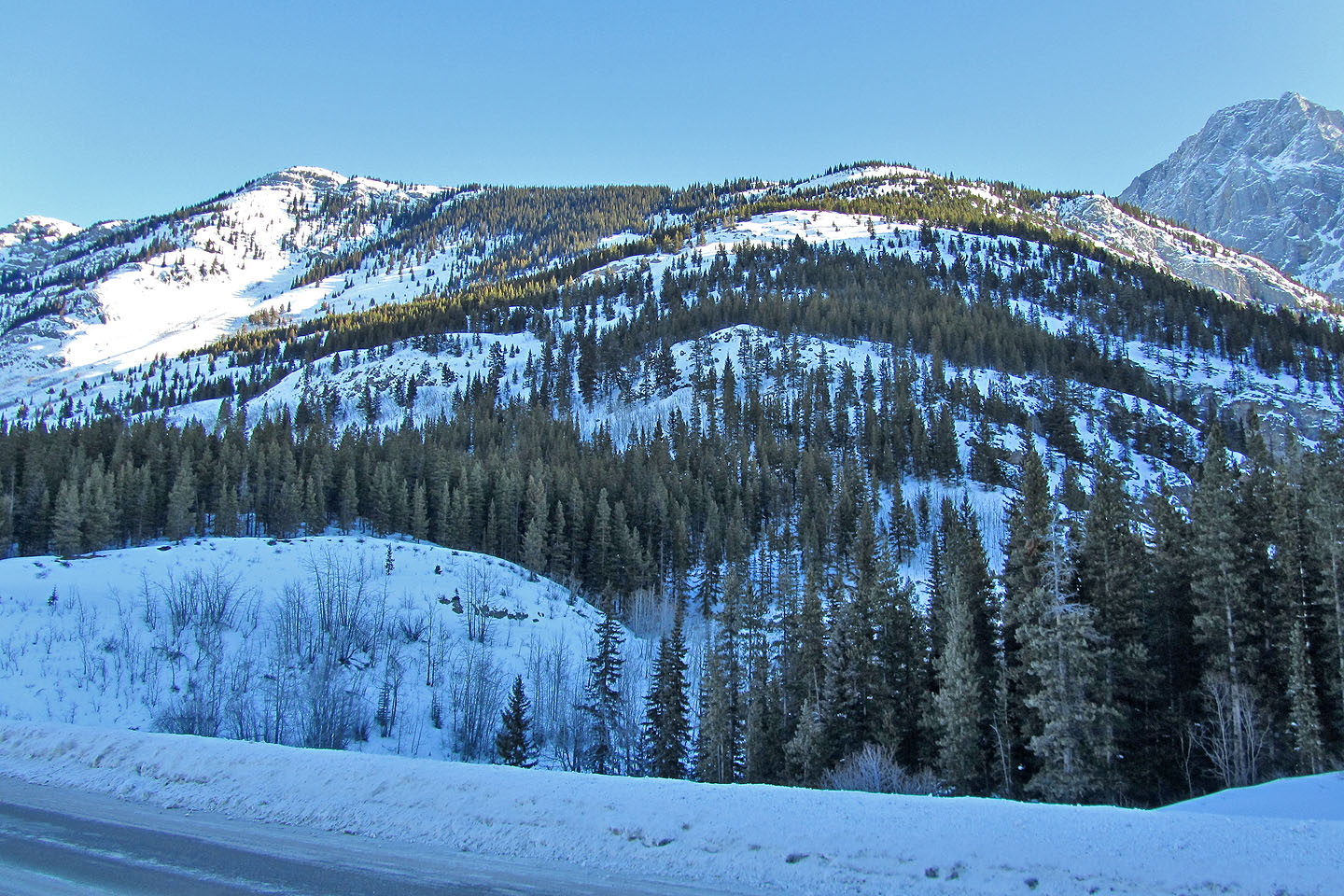
King Creek Ridge: we snowshoed along the ridge until we reached the wooded area in the centre of the ridge
The steep grade throughout the slope does not lend itself to easy snowshoeing
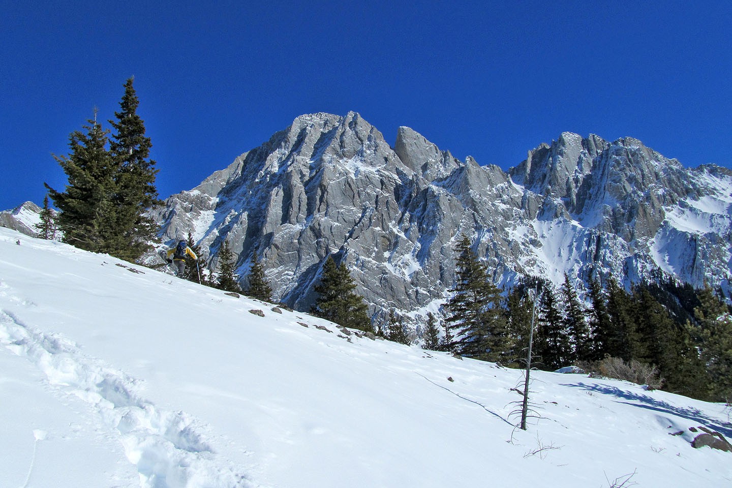
Mount Wintour to the south
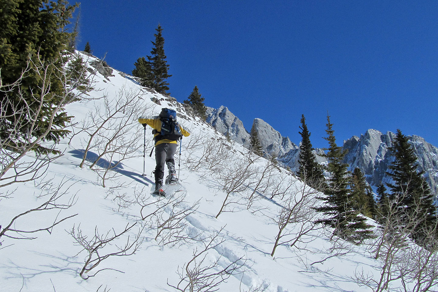
Snowshoeing through bushes
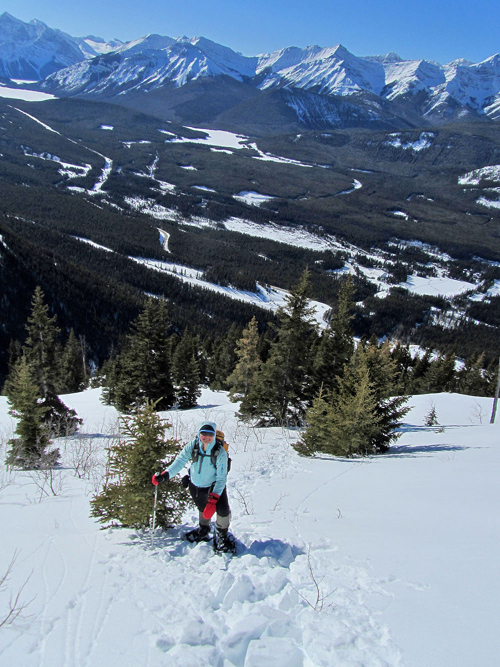
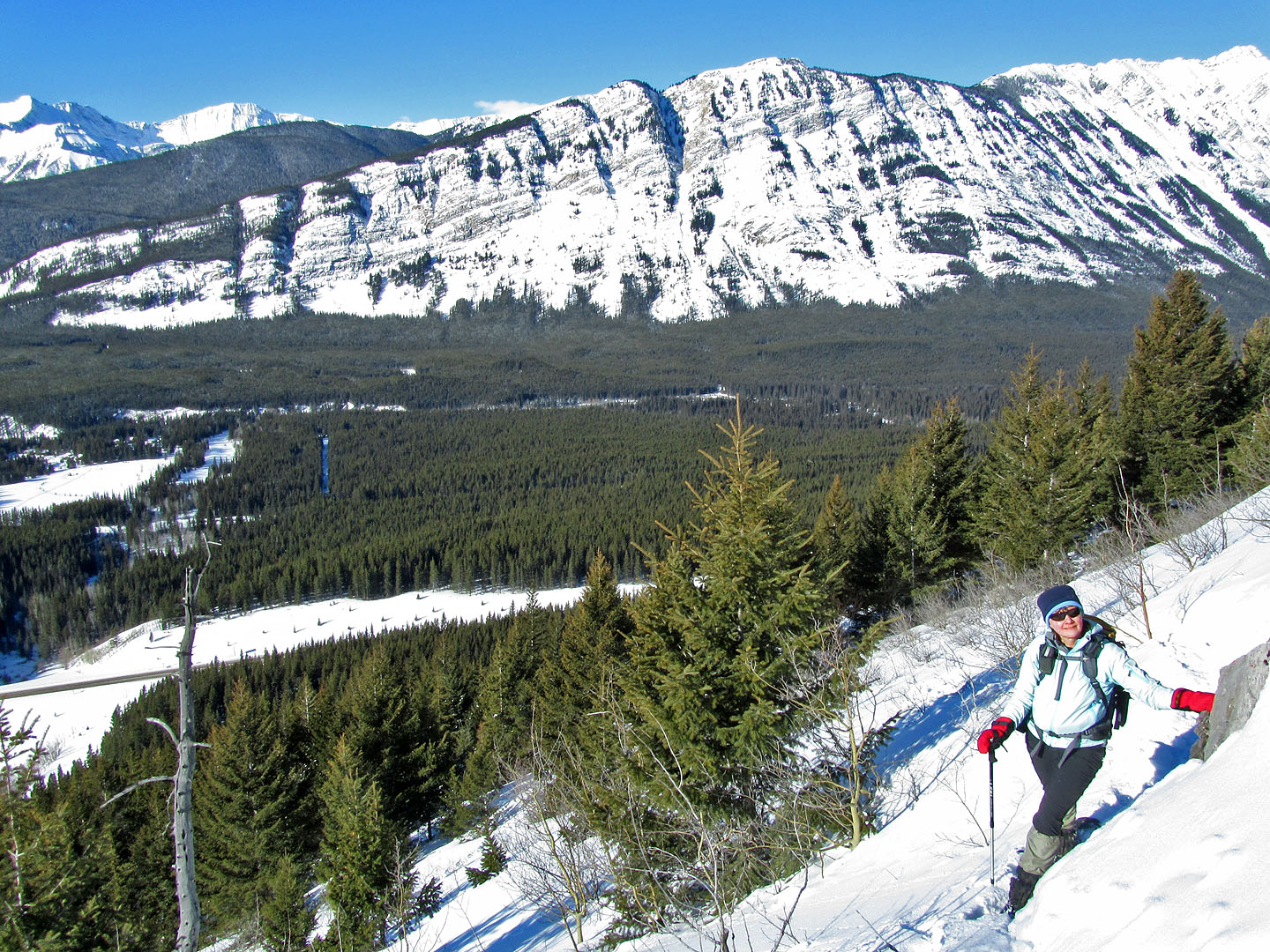
Kananaskis Valley below
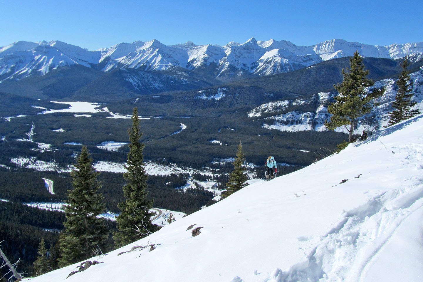
Another view of the valley as we approach the crest of the ridge
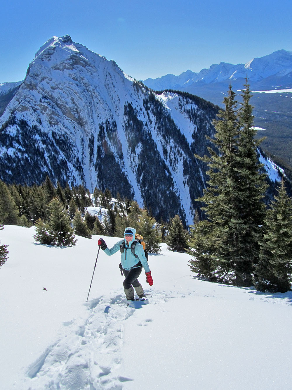
On the crest with Mount Blane filling the view
Travel along the ridge
More open ridge
The summit is barely visible between the trees on the left. Mount Hood on the right.