bobspirko.ca | Home | Canada Trips | US Trips | Hiking | Snowshoeing | MAP | About
Hillsdale Ridge (Attempt)
Banff, Alberta
February 9, 2013
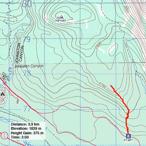
While driving down Hwy. 1 a few years ago, the open slopes east of Johnston Canyon caught my eye and I wondered if the area could be snowshoed. After studying a map, it indeed appeared possible to ascend gentle slopes to a high point overlooking Johnston Canyon, Hillsdale Ridge. We would try it.
On our first attempt a year ago (not posted), Dinah and I started snowshoeing from the Johnston Canyon Trailhead only to find the slopes too undulating. The terrain was like a rumpled carpet: steep ravines and ridges made travel slow and tedious. Add to that, scant snow did little to cover underbrush and deadfall. After gaining only 300 m in three hours, we gave up.
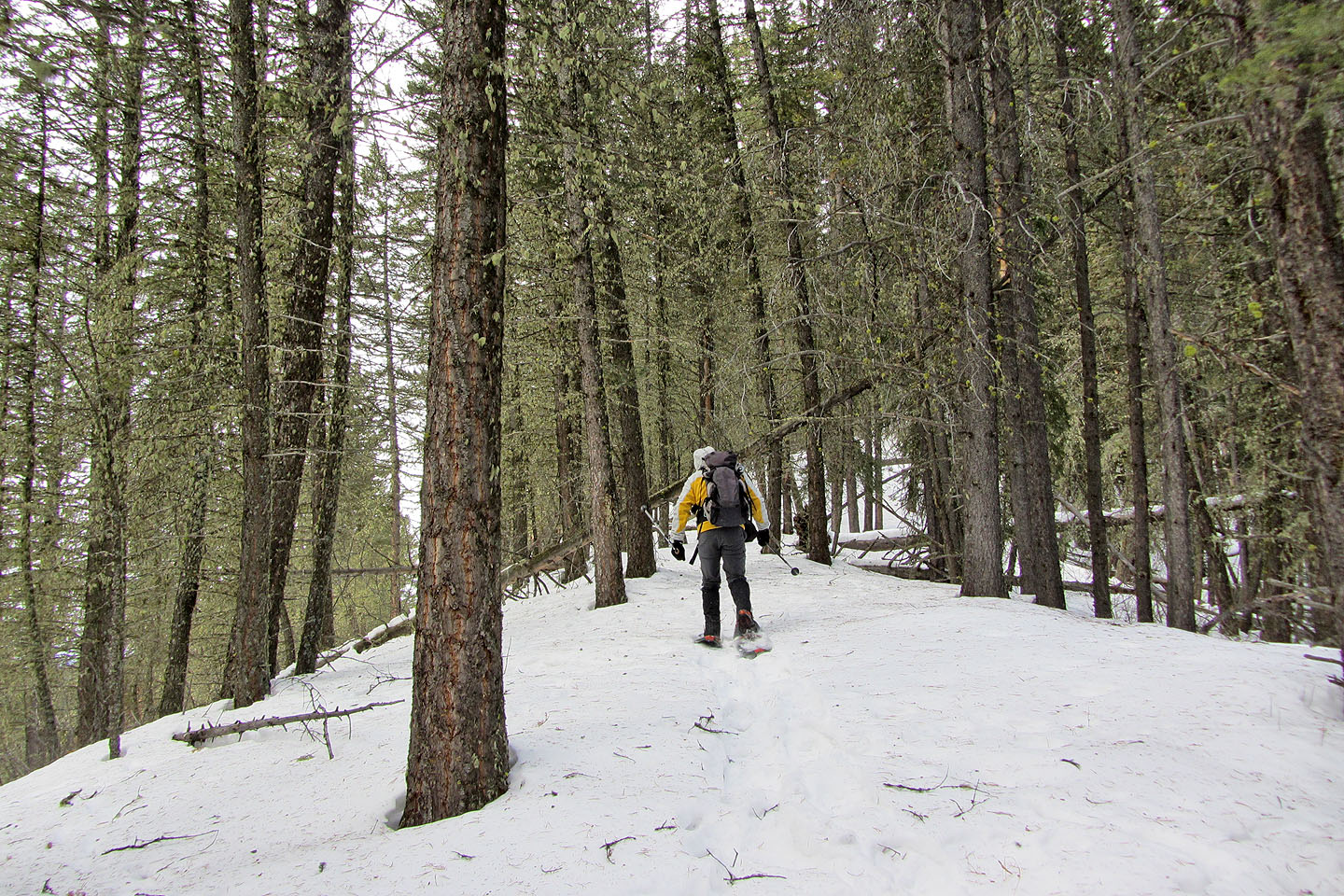
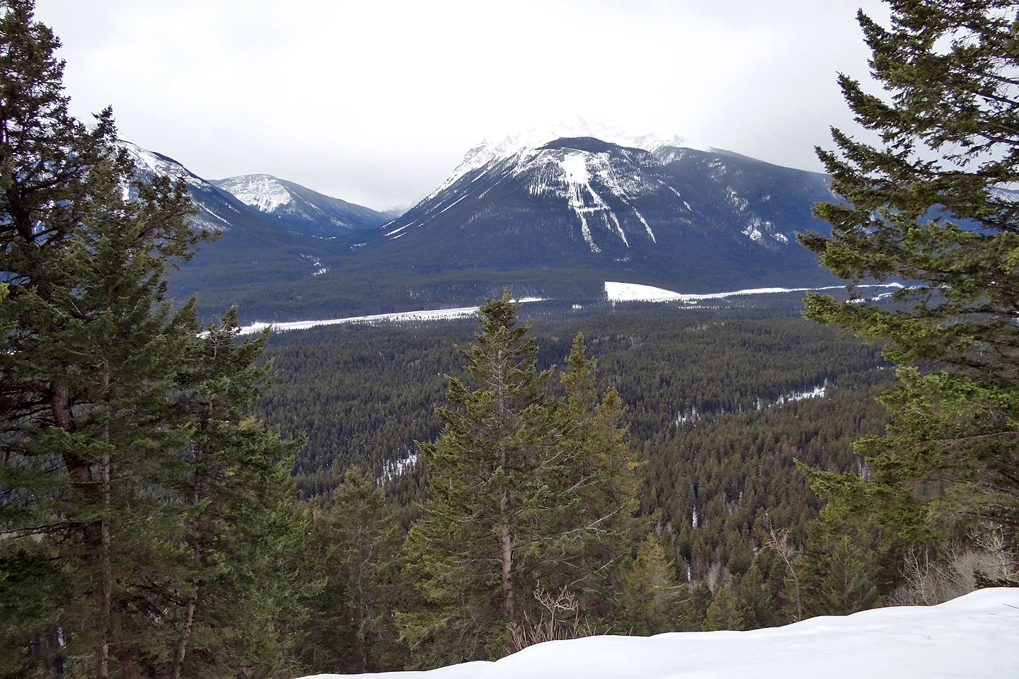
We returned this year for an attempt from a pullout east of Johnston Canyon on Hwy. 1A. At first travel was easy but we soon encountered extensive deadfall, the largest fallen trees I've ever encountered while snowshoeing. Even so, by going over, under, or around them, we managed to reach a ridge that was largely free of deadfall. Here snowshoeing was easier and even enjoyable. After climbing a ways, we reached the open slopes I had seen from the highway. Although trees crowded the ridge crest, we managed to get glimpses of the mountains on the other side of the Bow Valley. For an unobstructed photo shot, one could step down the open slope, but because of the impossibly steep angle on a snow-covered slope, it's likely the last photo that they would take.
From studying the map, I thought we'd be home free after we climbed above the 1760 m contour line, where the terrain appears to level off at a plateau-like expanse. Not quite. Although the land is generally level, it appeared to suffer from the rumpled-carpet effect. Snowshoeing here was further compounded by deadfall and dense trees. After ascending nearly 400 m, we gave up and retraced our steps back. I don't plan to return for another attempt.
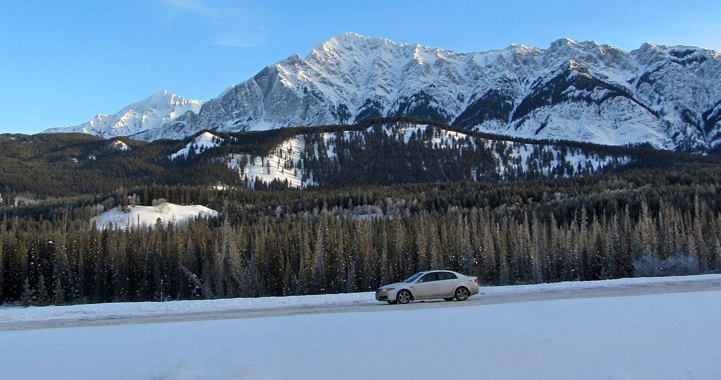
From Hwy. 1, the open slopes of the low ridge we ascended (centre) appear to provide good
views, but trees crowd right to the edge. Mount Ishbel in the background.
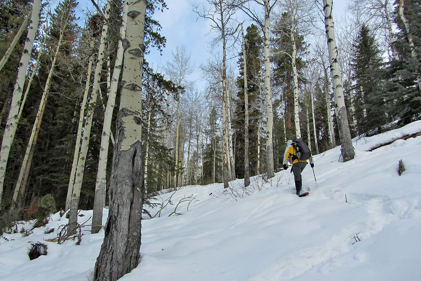
Snowshoeing was pleasant at first
Pilot Mountain behind us
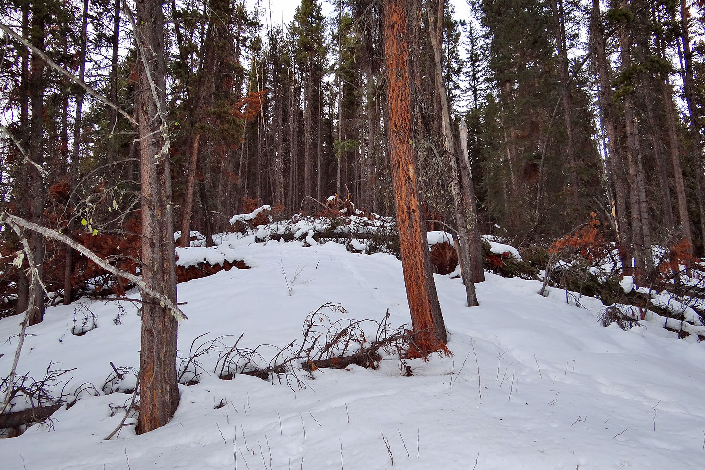
After negotiating through extensive deadfall, the terrain
resolved into a ridge
The worst of the deadfall was behind us, thus far
Copper Mountain
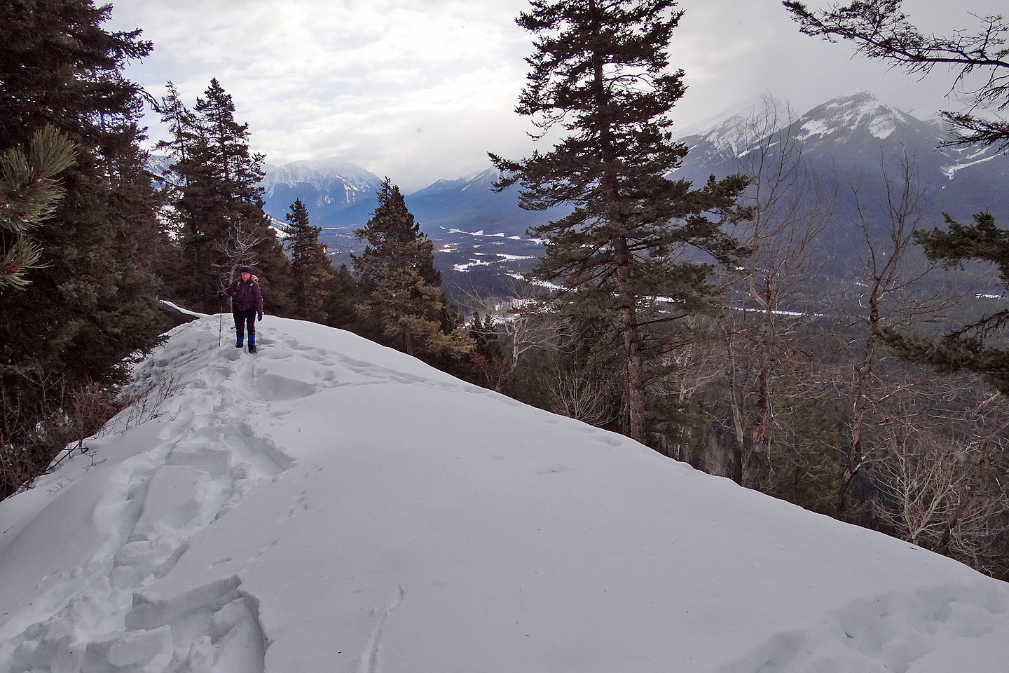
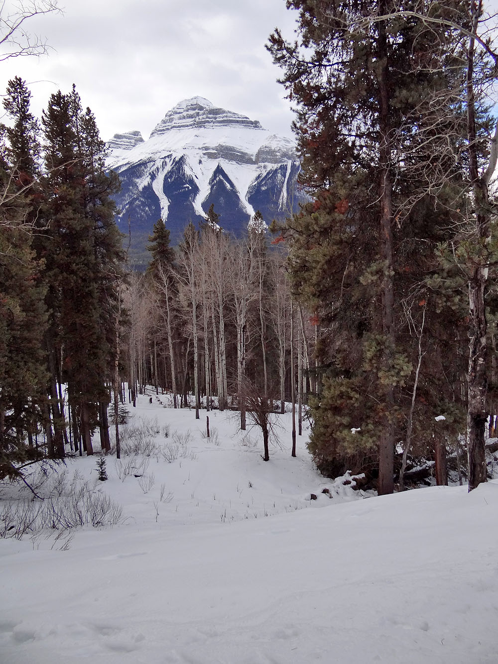
We're well above the Bow Valley
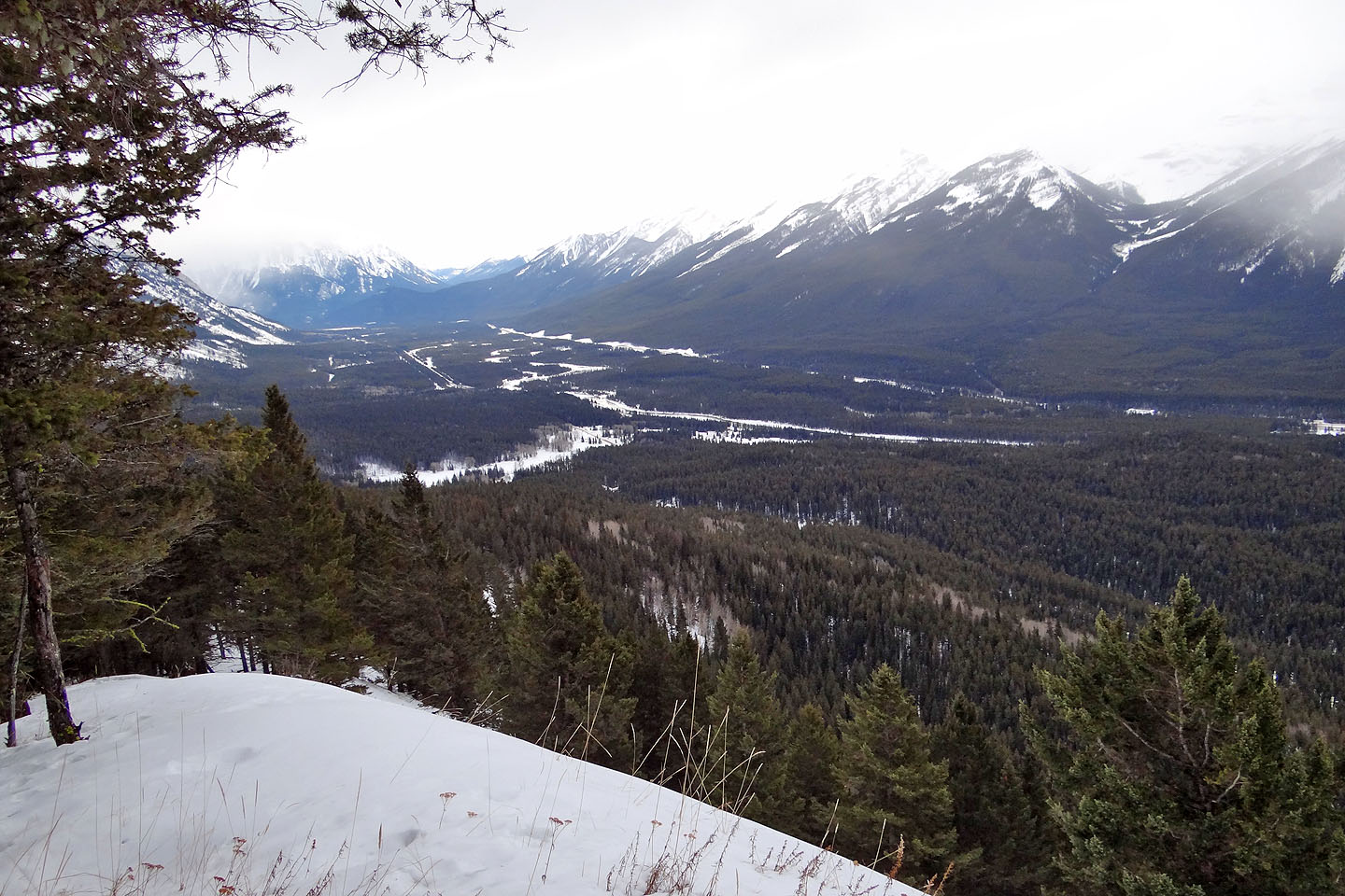
The best view we had of the valley
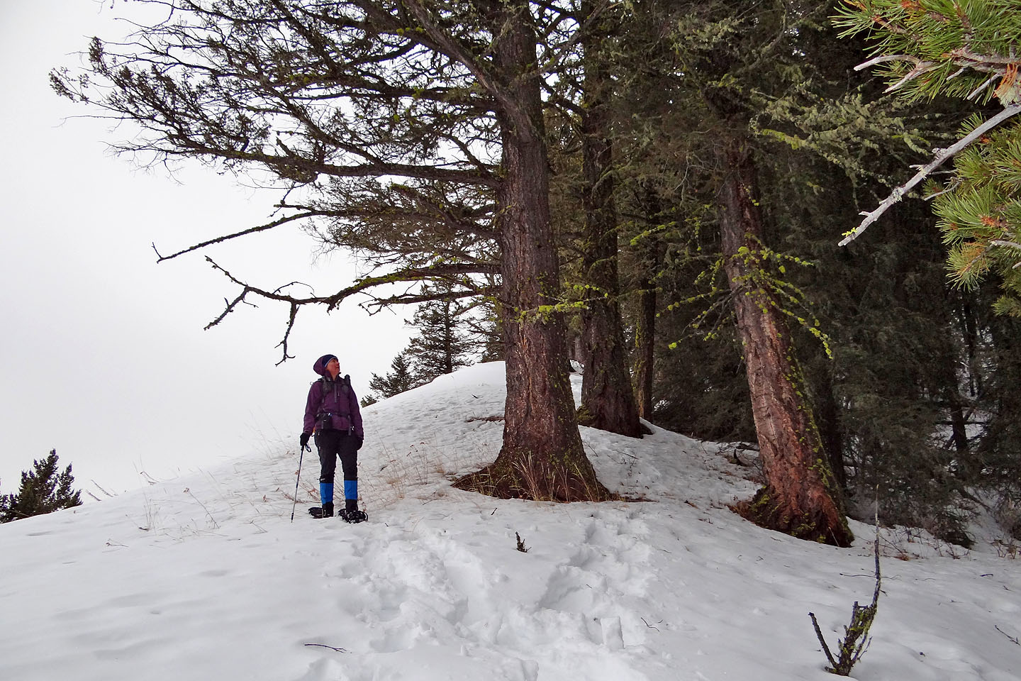
Dinah eyes a trio of large trees
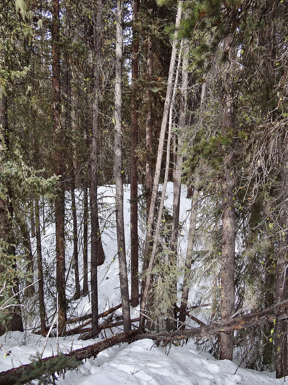
We turned around here
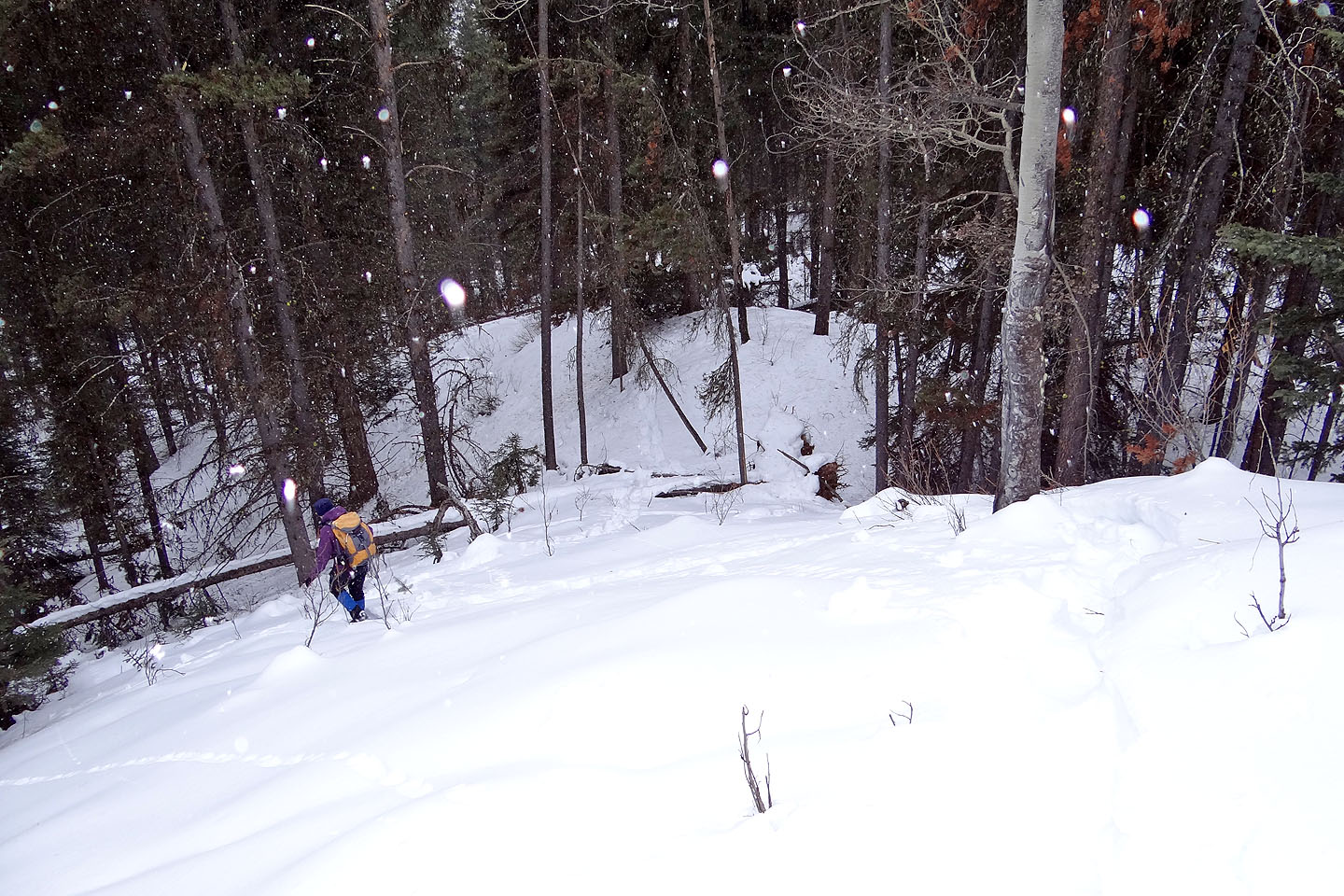
It began snowing when we headed back down
82 O/5 Castle Mountain, 82 O/4 Banff
Snowshoeing | Canada | Home