bobspirko.ca | Home | Canada Trips | US Trips | Hiking | Snowshoeing | MAP | About

Mount Nestor
Kananaskis, Alberta
July 21, 2007
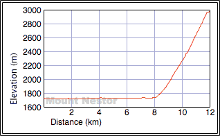
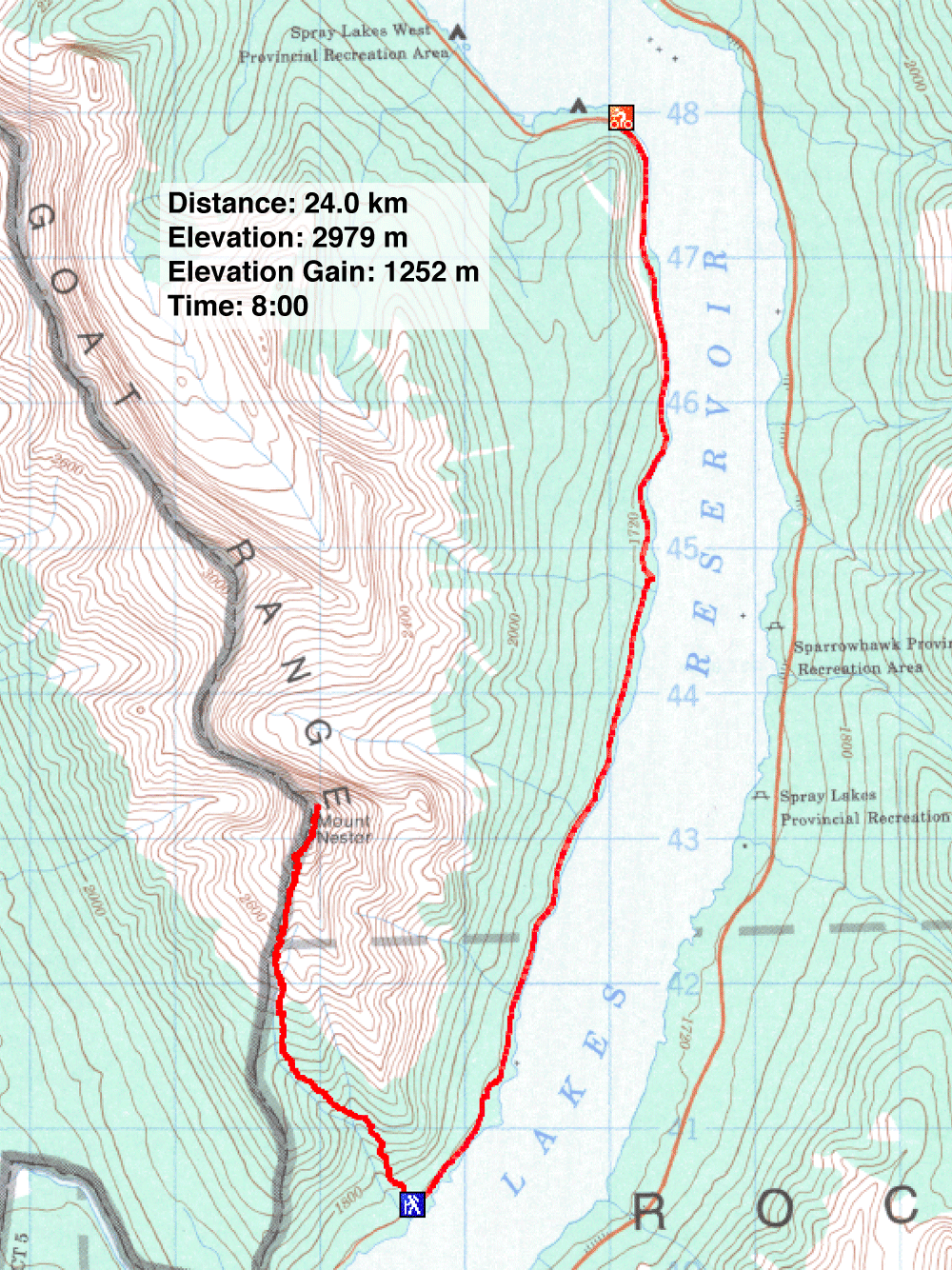
Distance: 24.0 km (14.9 mi)
Cumulative Elevation Gain: 1295 m (4249 ft)
The way up Mount Nestor comprises a short bike ride, a long slog, and a few minutes of scrambling near the summit. The views, which included the cyan waters of Spray Lakes, didn't kick in until we climbed out of the gully and onto the south ridge.
From the closed gate, Dinah and I biked 8.0 km and not the 13.4 km according to the guidebook. The difference can probably be accounted for if one starts at the seasonal gate reached just after crossing the dam. In any event, our bike ride took just over 30 minutes.
The trailhead wasn't well marked: a bush hid a cairn on the right side of the road, but the drainage on the left was noticeable. Dinah and I stashed our bikes and headed up the trail. Within minutes, the trees gave way to reveal the descent trough straight ahead. The ascent gully broke to the left, and we decided to take it.
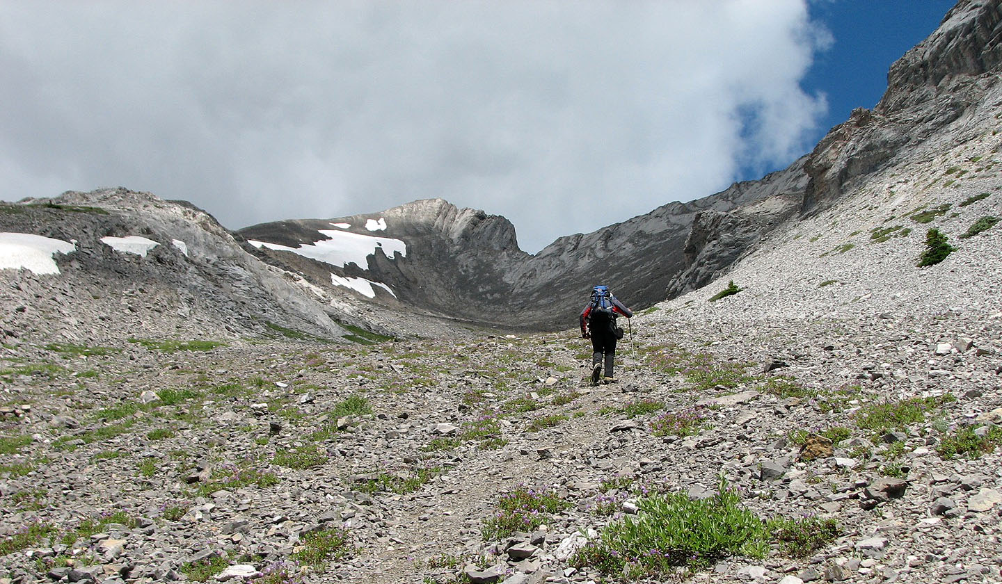
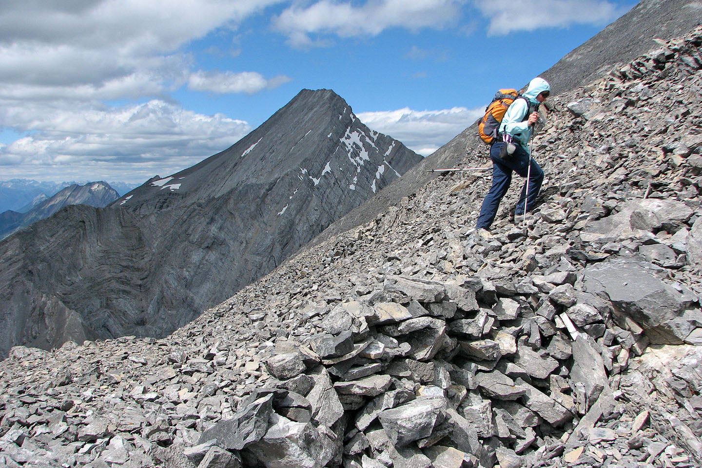
We followed a vague trail worn into the grassy floor of the gully, but it soon led to loose rock. Eventually the gully swung to the right and we could see the false summit. After passing under "the rocky crest of the ridge," we gained the ridge on our left and followed it to a false summit.
Just past the false summit, we reached the drop in the ridge. There was no exposure, and we scrambled up the other side. Dinah banged her head on an overhanging rock, although her helmet saved her from injury. A couple of minutes later, we were on the summit. We spent an hour on the summit before retracing our steps back.
The return trip down the gully was uneventful although hard on the knees. The grade never gives up! We were glad to reach our bikes and enjoyed the ride back.
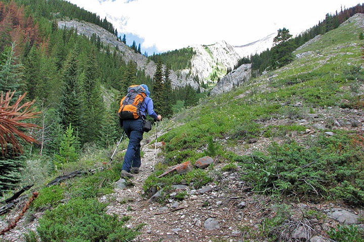
On the trail: ahead is the fork, left for the ascent gully and straight ahead for the descent trough
Looking down the ascent gully, Mount Buller in the background
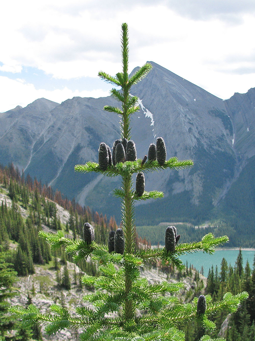
I've never seen cones growing upside-down before! Balsam fir I'm guessing.
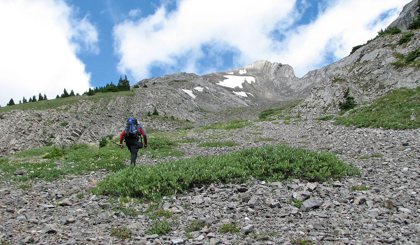
From here the gully is loose rock
First look at the summit
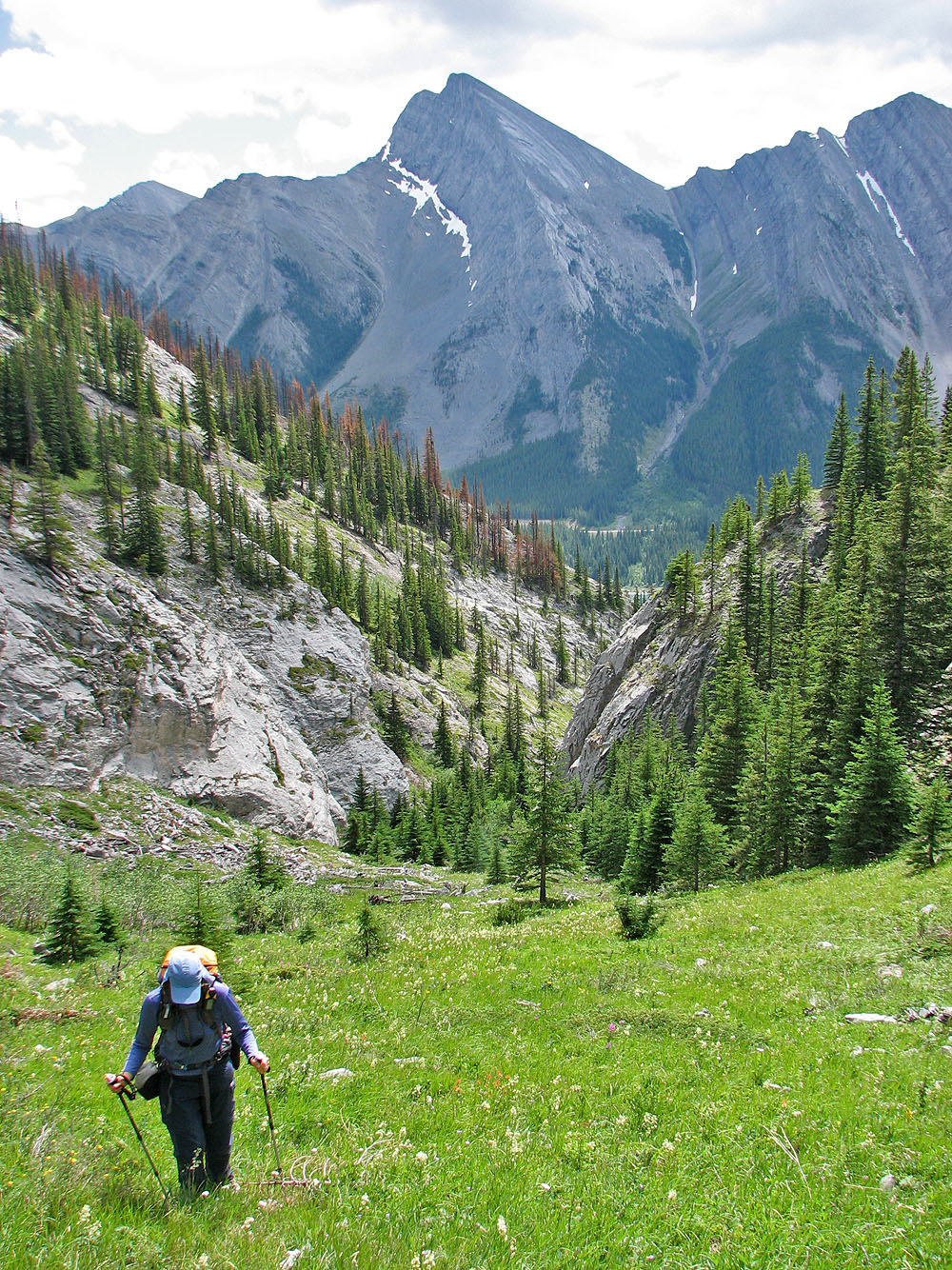
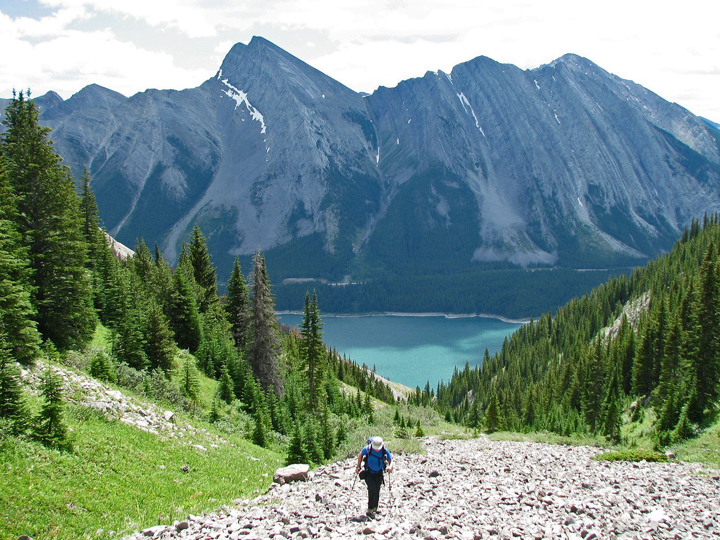
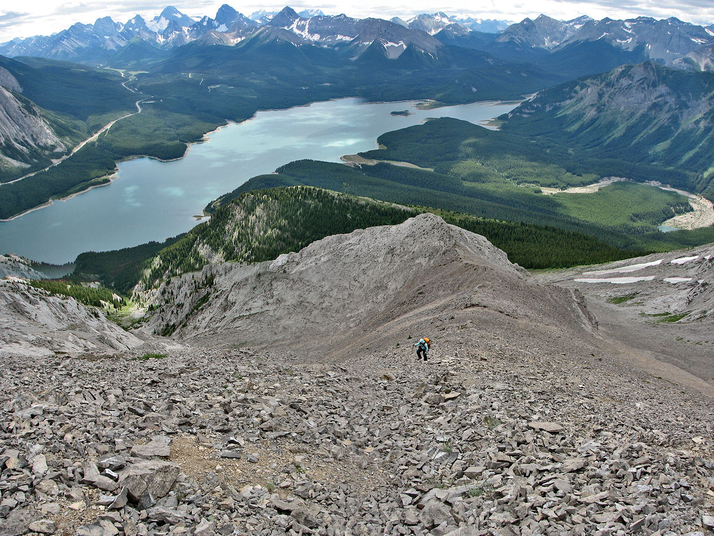
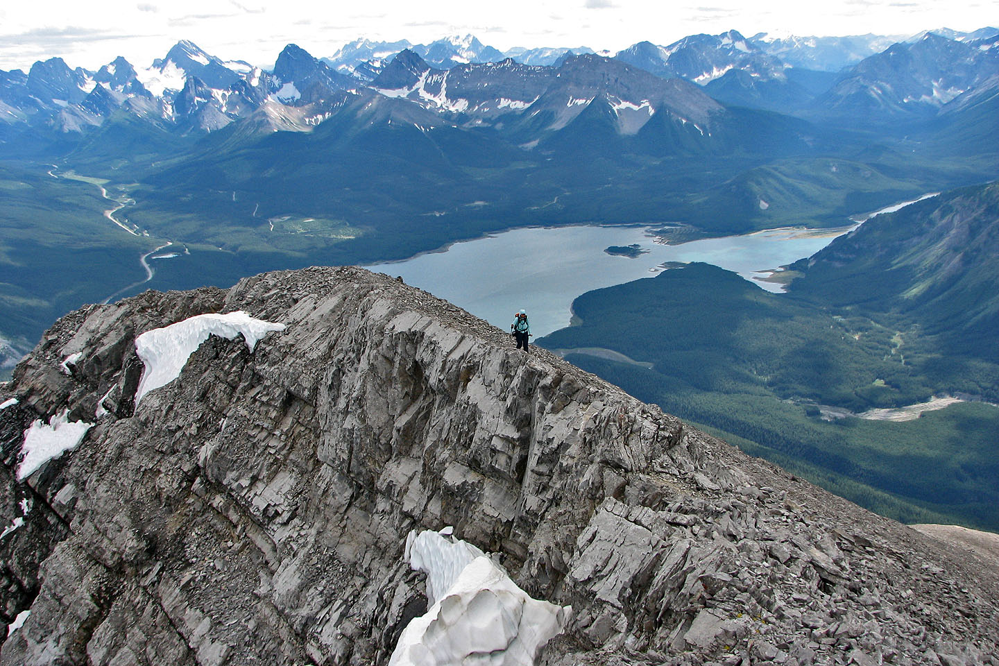
The south end of Spray Lakes came into view behind us
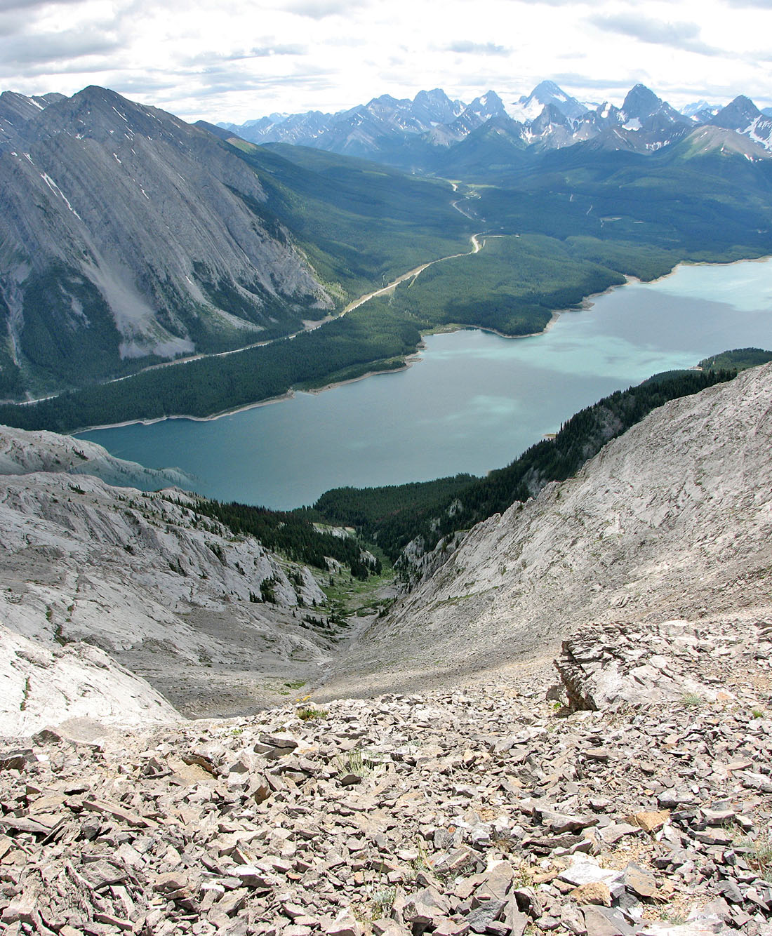
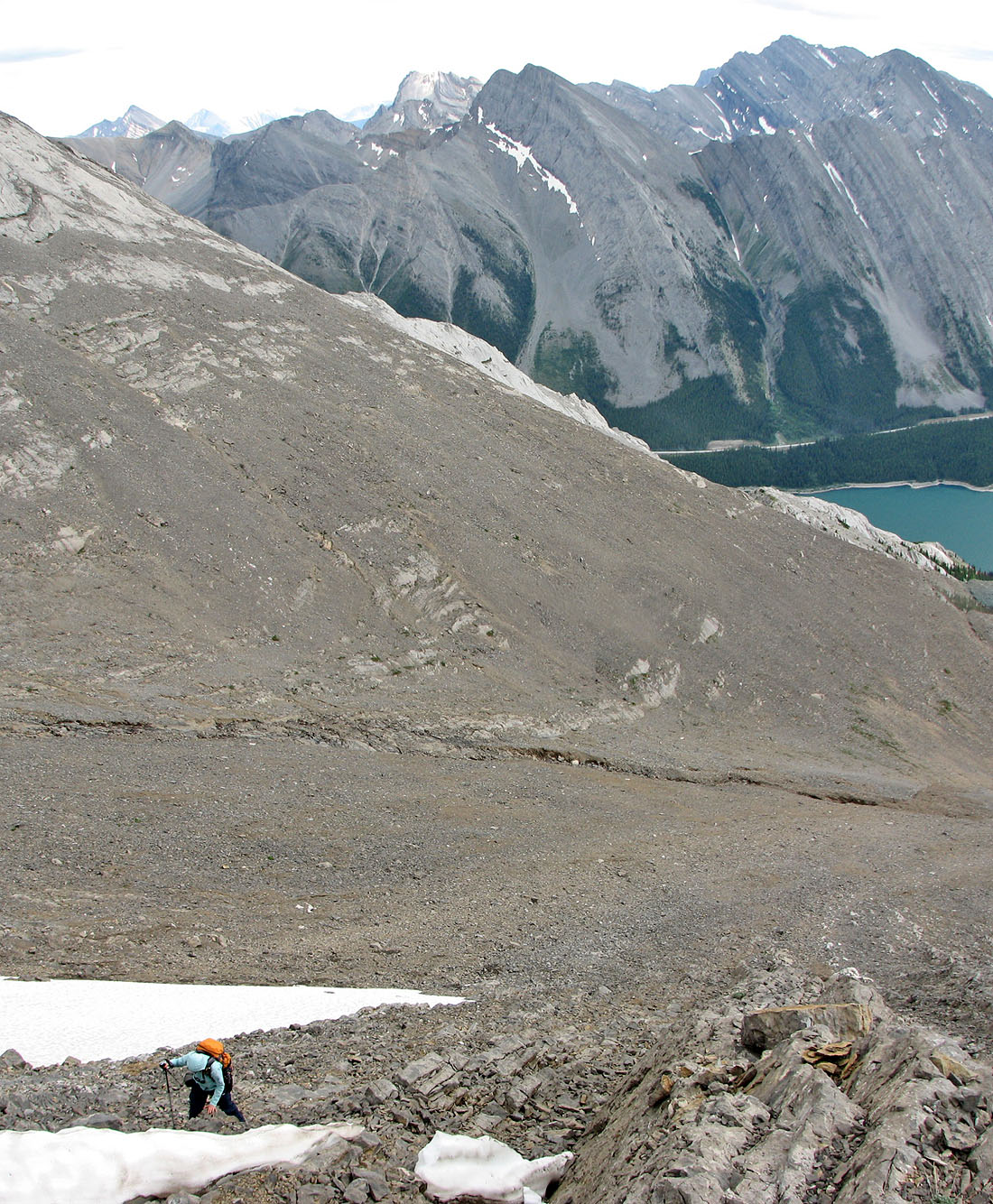
Looking down the gully we ascended
Looking back after turning a corner
We'll ascend the ridge on the left
Gaining the ridge
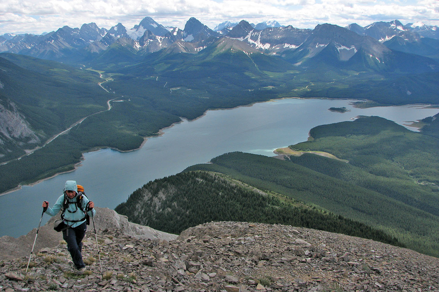
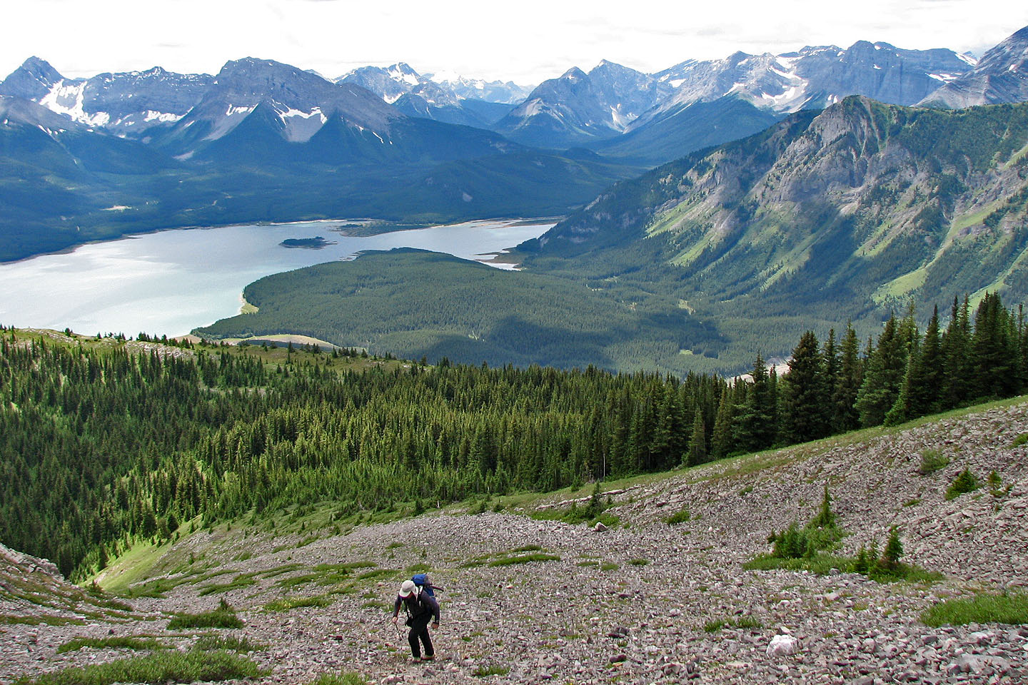
Great views looking south although a haze, likely from a forest fire, obscures it
Wind breaks, like the one in the foreground, attest to the mountain's popularity
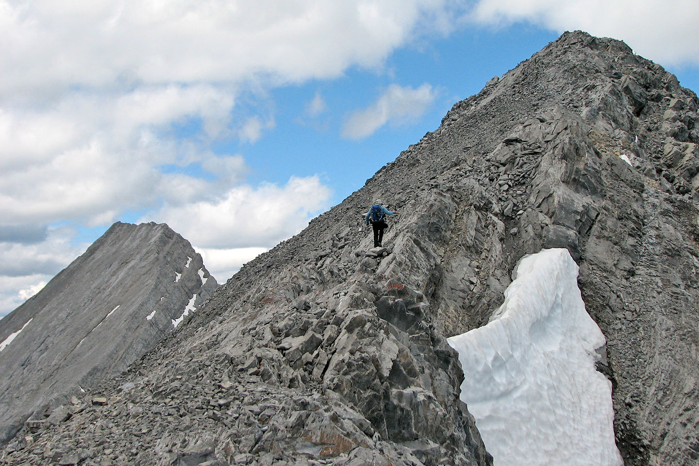
Almost at the first false summit
Looking back from the first false summit
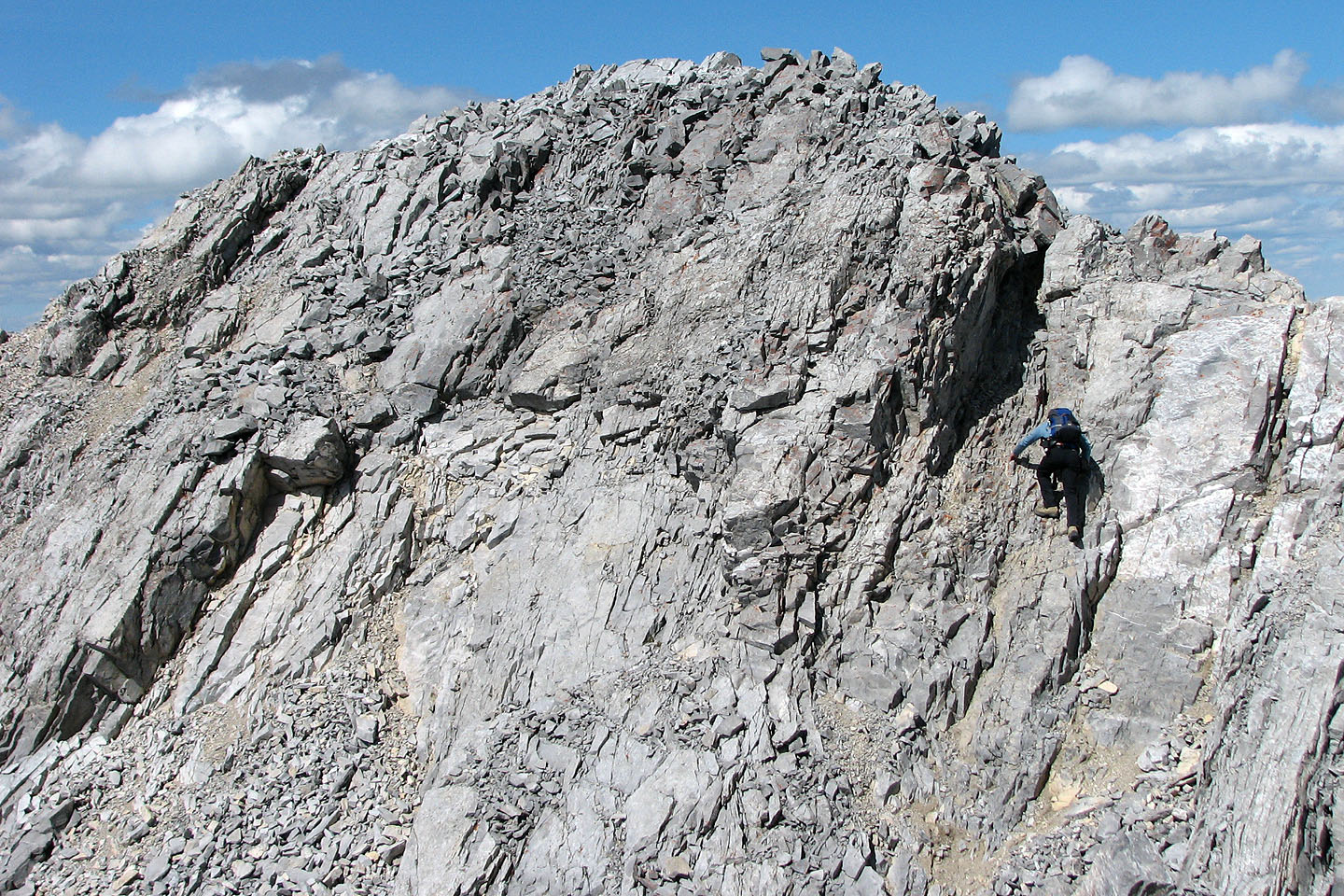
Climbing the crux
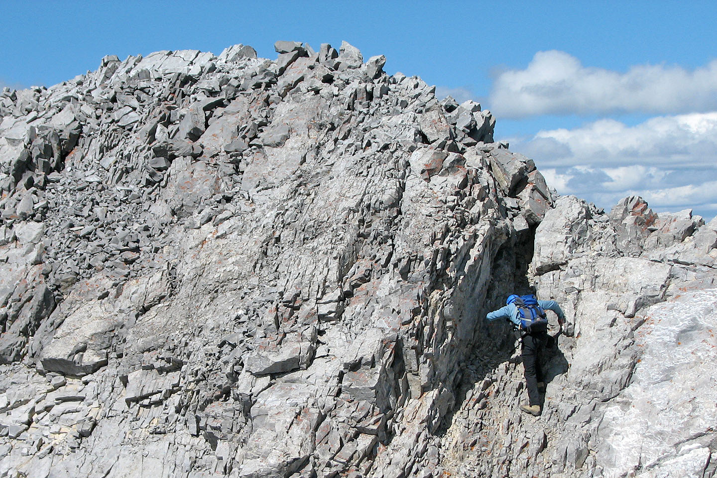
Here the rock was solid
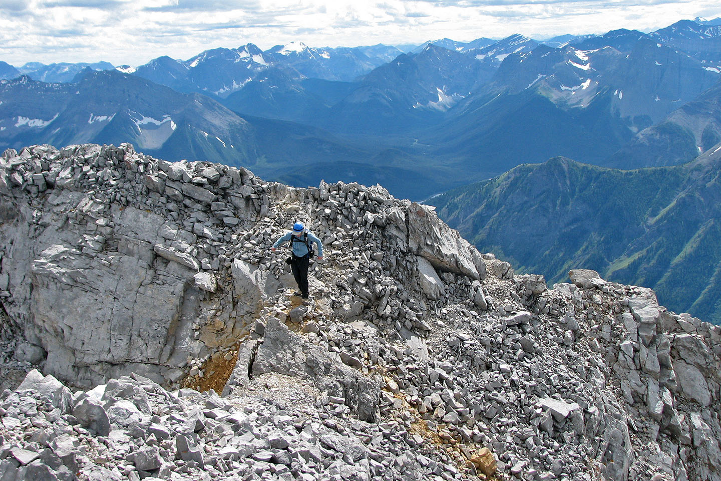
Looking back from the summit
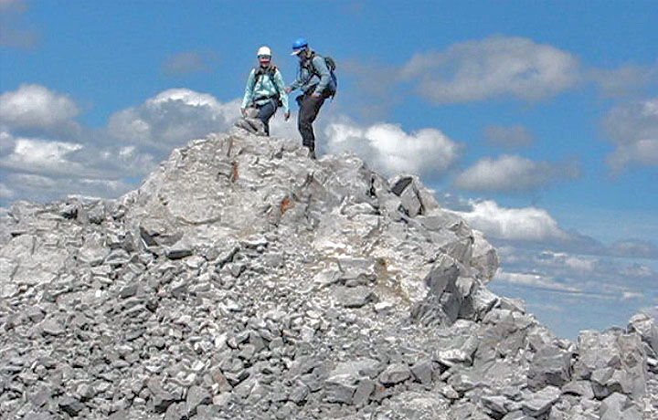
On the summit
82 J/14 Spray Lakes Reservoir