bobspirko.ca | Home | Canada Trips | US Trips | Hiking | Snowshoeing | MAP | About
North Gully of Pigeon Mountain (recon)
Kananaskis, Alberta
April 8, 2006
A couple of years ago Dinah and I came across a trail on the north side of Pigeon Mountain. We didn't go very far up it, but I often wondered where this trail went. Could this be a scrambling route to the summit of Pigeon? There was only one way to find out!
The trail intersects the Trans-Canada Trail at 240559. Even though it's well-defined and old flagging marks the way, we managed to lose it a few times. I added my own flagging in places that were vague.
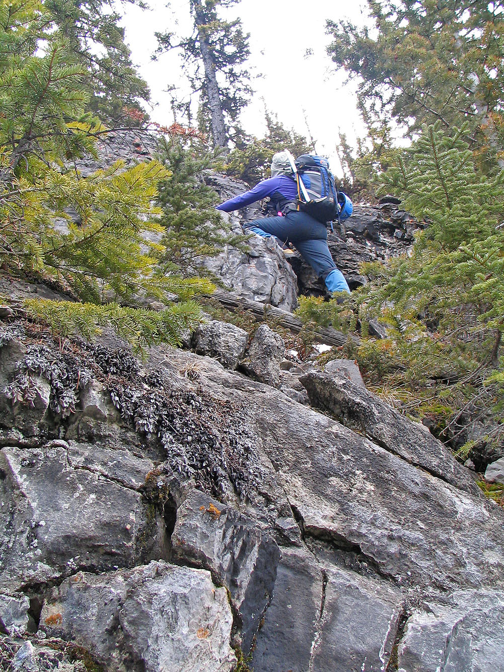
At first the grade was easy, but farther along the terrain became steep and rugged, and we had to resort to scrambling.
Eventually the trail reached a cliff band. Continuing on the trail meant traversing a ledge above an eight-metre drop. I started along the ledge, but I ran into snow and ice and had to turn back.
We decided to try another way. We skirted left and found a place to scramble up over the cliff band, but once we did so our situation didn't improved. Our views were limited because of the trees, and everywhere we went we encountered cliffs. Routefinding became a major chore. Retracing our steps back would not be easy so I flagged our route.
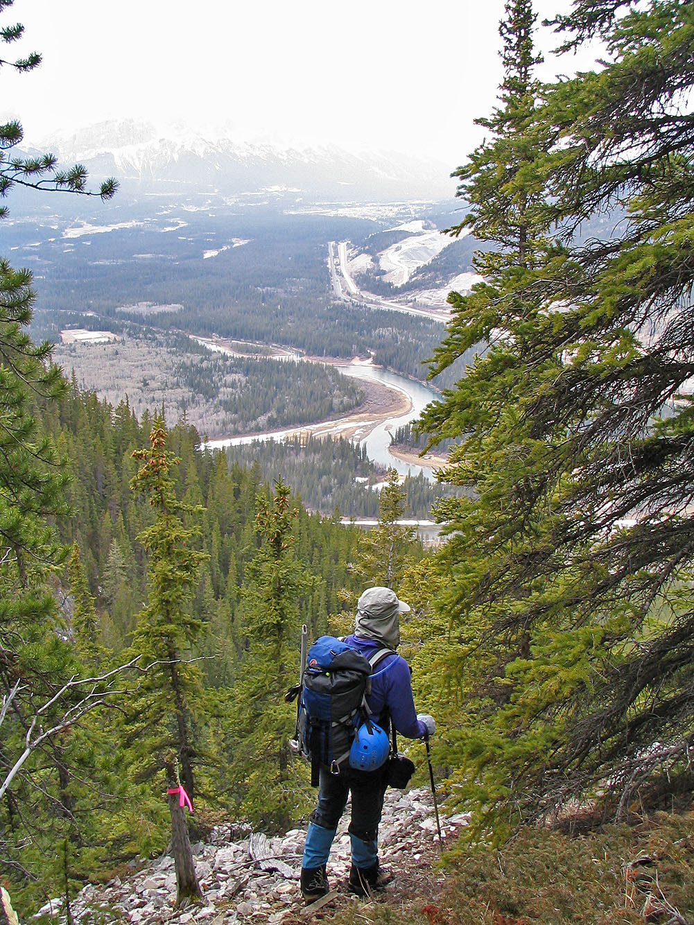
We continued climbing, but I got the feeling we were getting farther from the trail. I suspect that the trail leads into the canyon and that we were ascending high above it. In time, I came to the end of our route (247553). Cliffs barred the way left, right and centre. We had only climbed about 400 m above the highway.
The trip was a bust. We weren't able to follow the trail to its end and we reached no clearings to see anything. I'm sure we'll return some day and try again.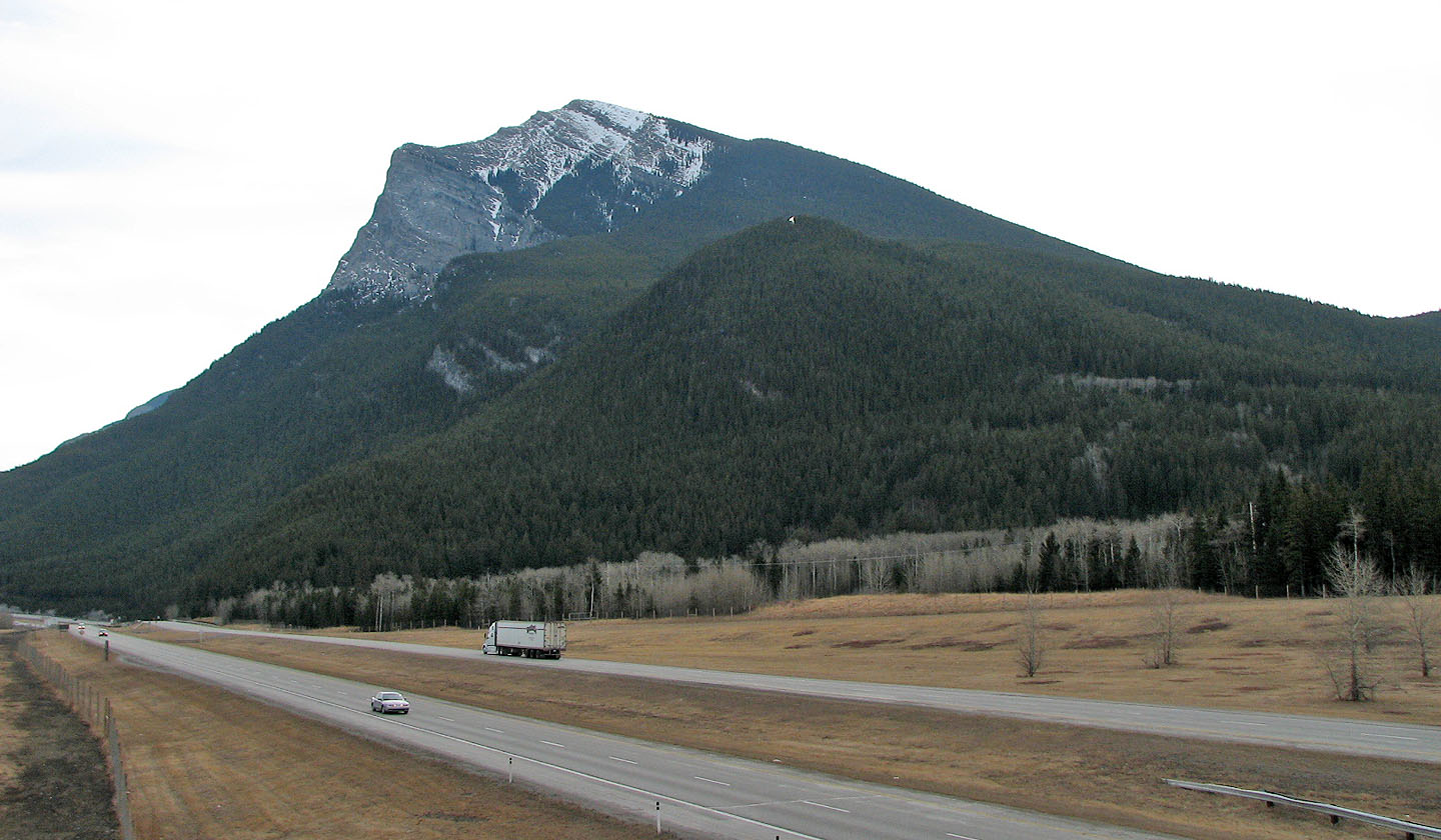
Pigeon Mountain from Deadman Flats. We were somewhere in the huge
gully where the rock face is.
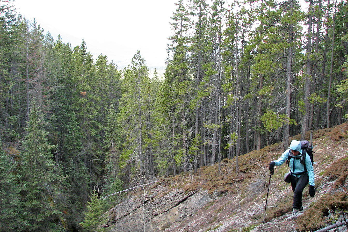
Following the lower trail
Following the ascent trail. Note the cairn.
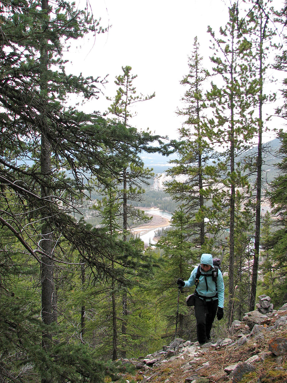
A glimpse of the summit of Pigeon

All I saw as I looked into the canyon were vertical cliffs.
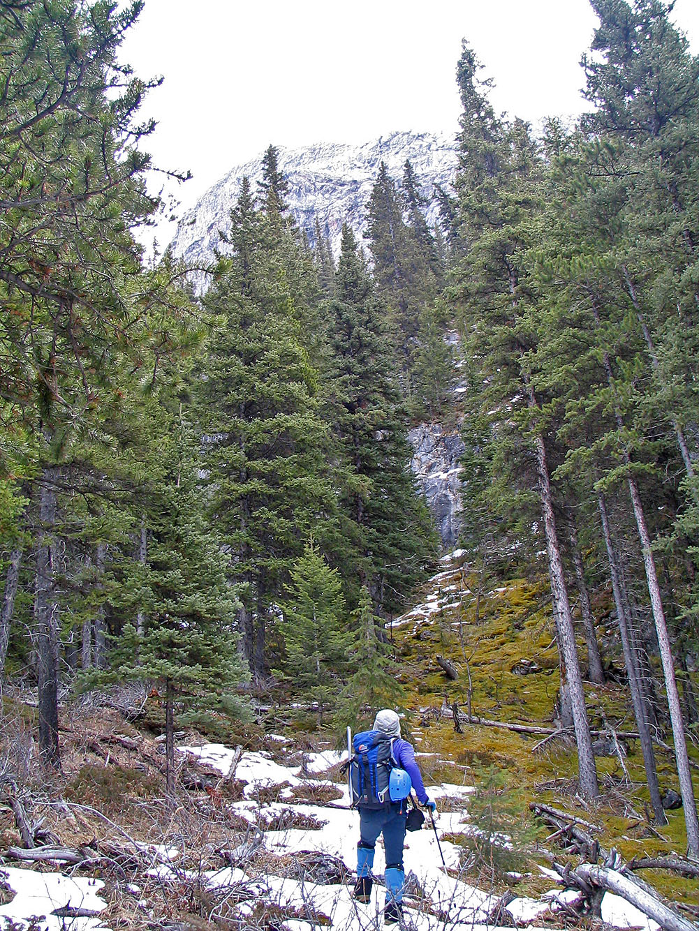
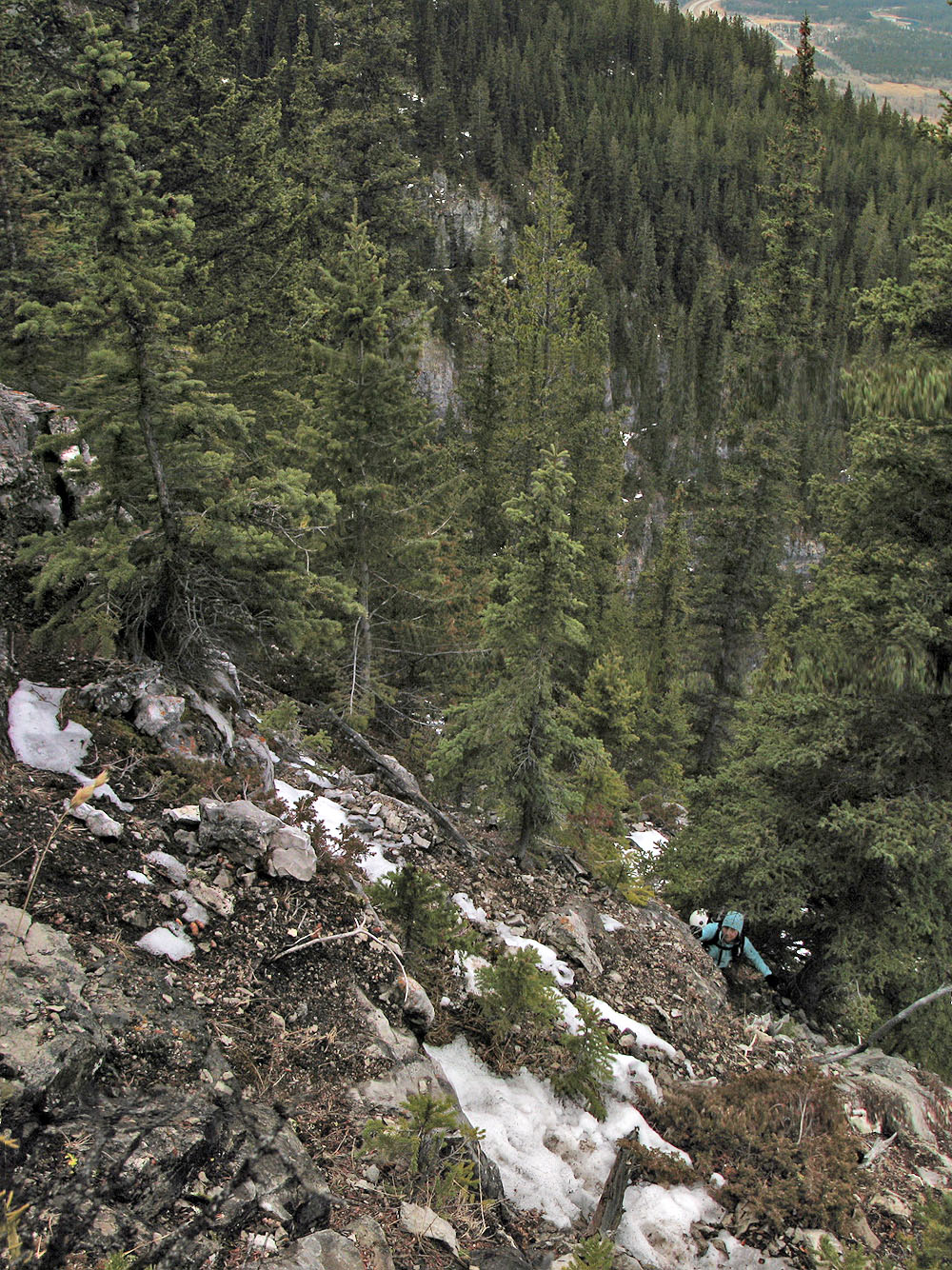
Typical terrain higher up
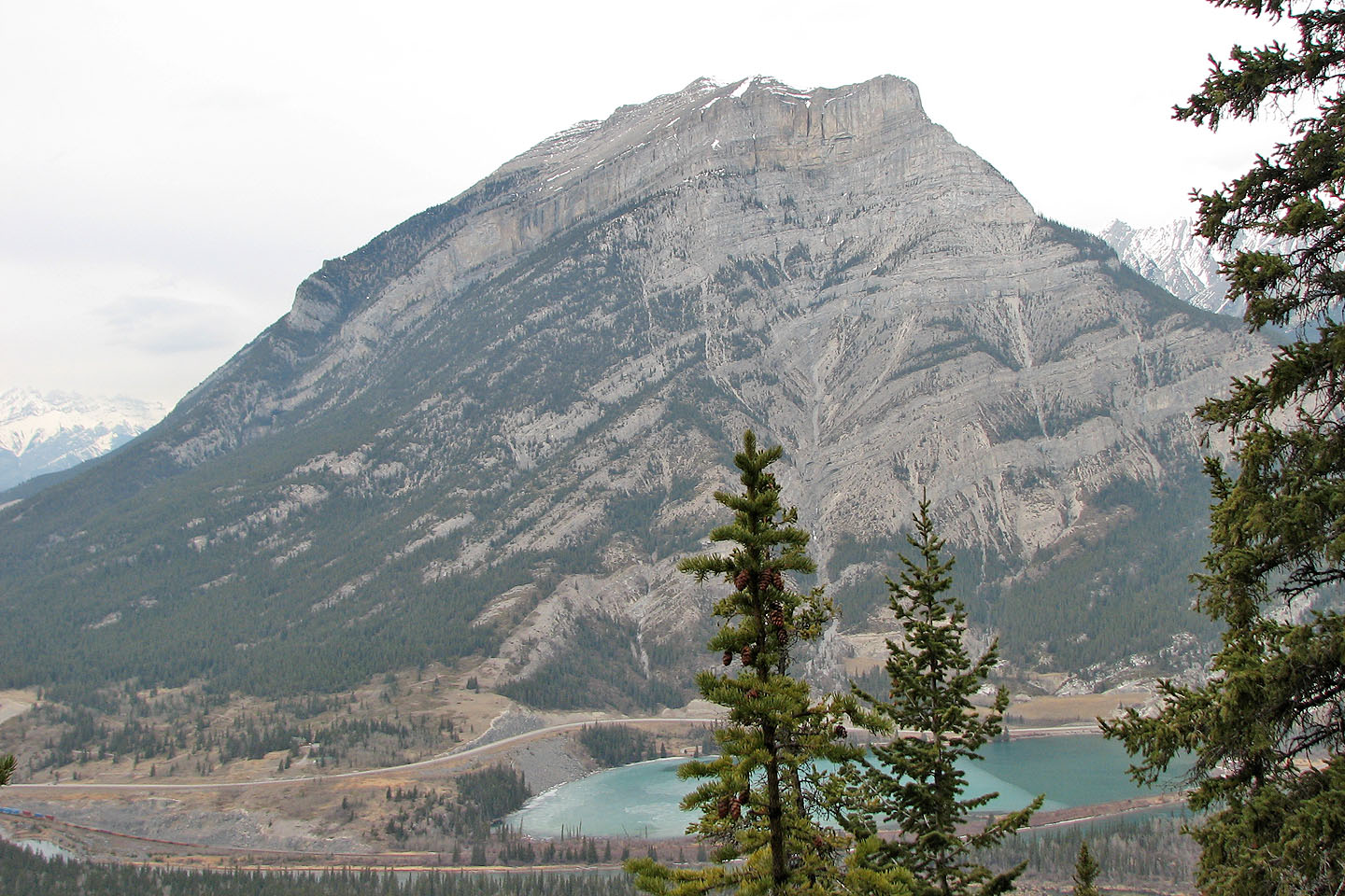
Grotto Mountain
Looking across the gully from our high point
Following our flagging back down