bobspirko.ca | Home | Canada Trips | US Trips | Hiking | Snowshoeing | MAP | About
Roche Bonhomme
Jasper National Park, Alberta
August 2, 2008
Distance: 10.3 km (10.3 mi)
Cumulative Elevation Gain: 1370 m (4495 ft)
If you've ever gazed up at the mountains from Jasper Townsite, you may have noticed a mountain that resembles the profile of a man's face, Roche Bonhomme, or Old Man. Dinah and I had done all the Kane scrambles around Jasper, and this mountain looked like a good reason to return to the area.
Dinah and I allotted ourselves two days to climb Roche Bonhomme and Opal Peak, but only the second day presented fair weather. On our first day, it rained all night and morning; the clouds extended down to the base of the mountains, obscuring all views. So we spent the day playing tourist and watched Dark Knight at the tiny Jasper movie theatre.
The second day appeared more promising: a 60% chance of showers. Opal Peak was closed because of bear activity, so we climbed Roche Bonhomme.
The best information for the route up Roche Bonhomme came from Parks Canada. The description was sketchy and, we later learned, not entirely correct, but once we found the trail, it was impossible to get lost. The trail was well-developed below the treeline, while numerous cairns mark the way up the rocky slopes above the timberline.
The Roche Bonhomme trail begins 350 m up the road from Maligne Canyon parking lot. But we didn't know that. We started walking up the highway and passed a hostel and the winter gates. Just past the gates, we noticed a trail on our left and took it. We were looking for a drainage, and when we didn't come to it right away, we knew we weren't on the right trail. But we followed the trail as it paralleled the road and soon reached the junction for the Roche Bonhomme trail. This trail climbs the drainage on the left side. A large cairn marked the beginning.
Although you catch the Roche Bonhomme trail from the road, I think that the shortcut trail we took is the best option, especially since it takes you off the road sooner. Indeed, a few steps into the shortcut, we saw a coyote watching us from a distance.
The trail up Roche Bonhomme is steep. The grade seldom eases and there are no switchbacks. In the first two hours, we gained nearly 1000 metres of elevation. Even when the trail passed the treeline and continued up scree, the grade held steep and straight. It's the longest, steepest trail we've done. On the scree slopes below the cliff bands, the trail became braided. We went right and hit a moderate scrambling section. We realized later, the trails on the left were easier. But trails converge at the same spot: left of the cliff band on the ridge crest. Once on the crest, we followed the ridge easily to the summit.
The summit of Roche Bonhomme is the “forehead” of the old man's face while an equally high point east is the “nose.” We spent 45 minutes exploring the top. After climbing both summits and reaching the east end of the ridge, we turned around. I thought we would have trouble going down the steep trail, but the dry trail held our boots; the descent was extremely fast.
Paradoxically, the Roche Bonhomme scramble appears both popular and relatively unknown. We liked the steep climb since it got us to the summit ridge quickly, and the views and interesting ridge crest were worth the effort.
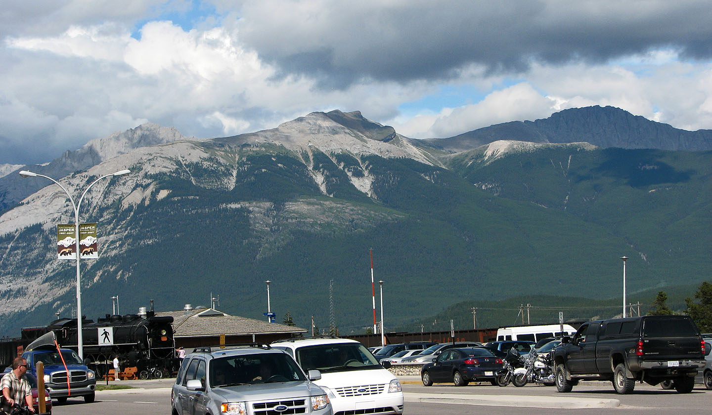
Roche Bonhomme seen from Jasper Townsite (mouse over for a close-up)
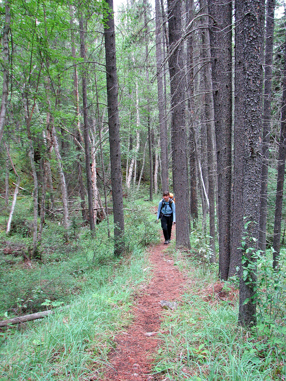
Starting up the Roche Bonhomme trail
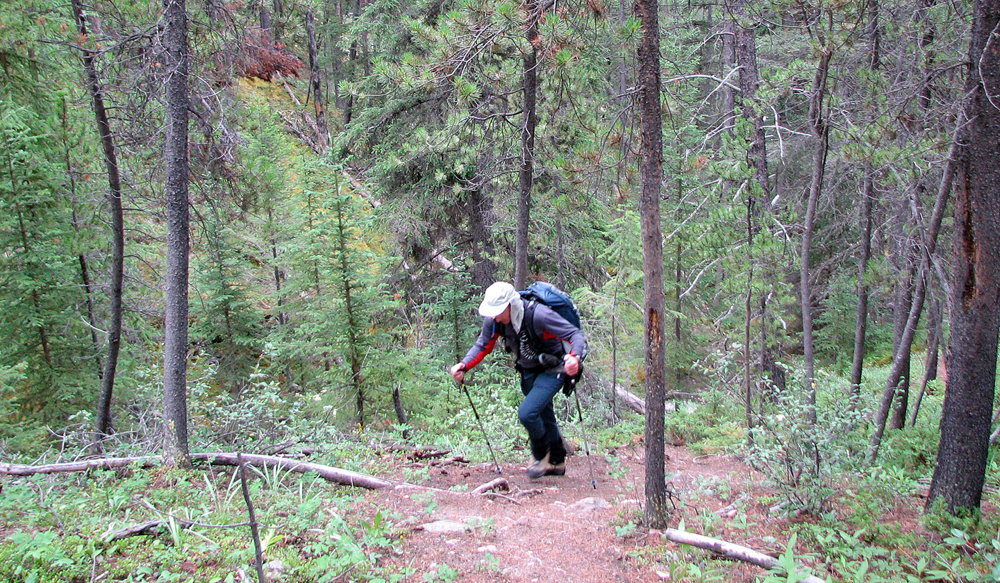
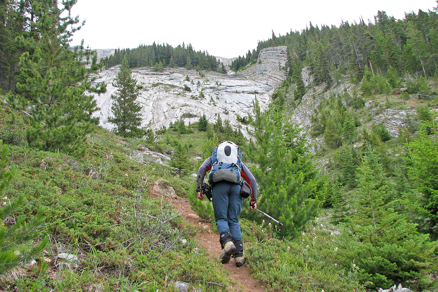
The trail soon begins to climb
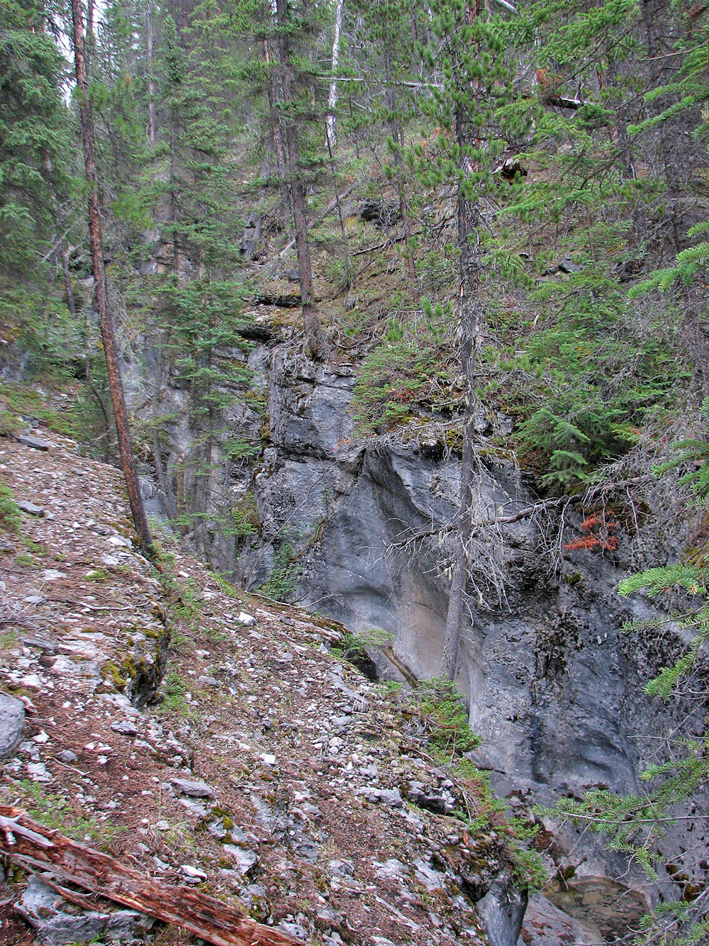
The trail runs alongside a canyon
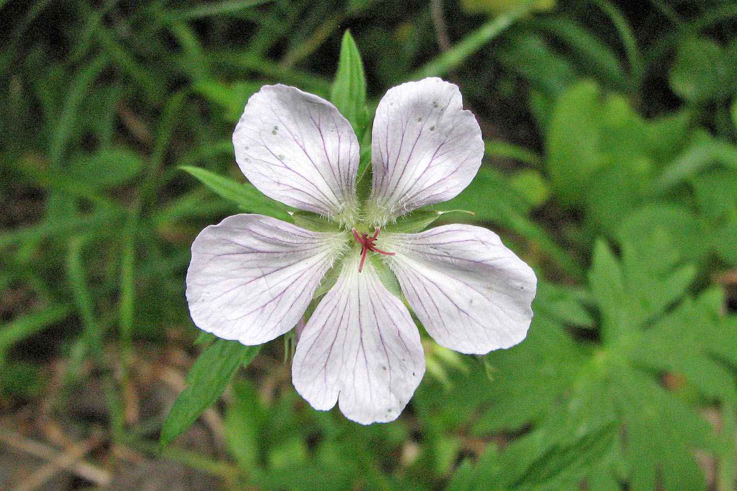
White germanium
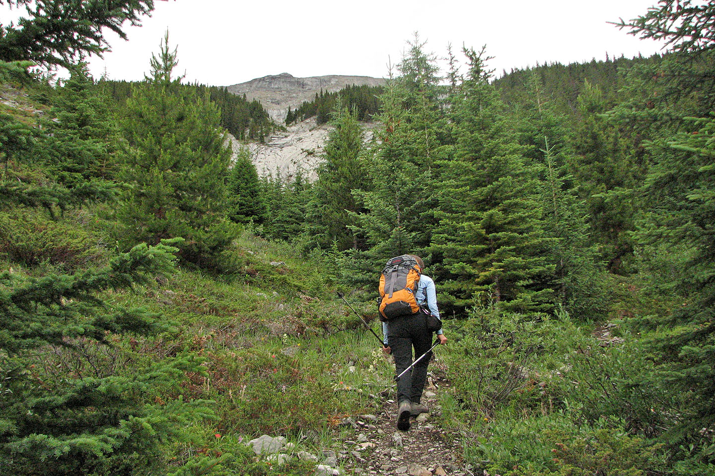
We finally saw the ridge ahead
This is one of the few breaks in the trees before the treeline
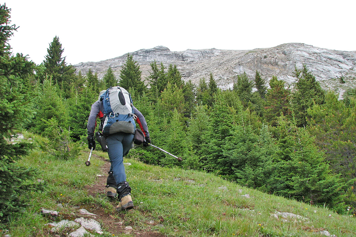
The trail headed to the ridge above me
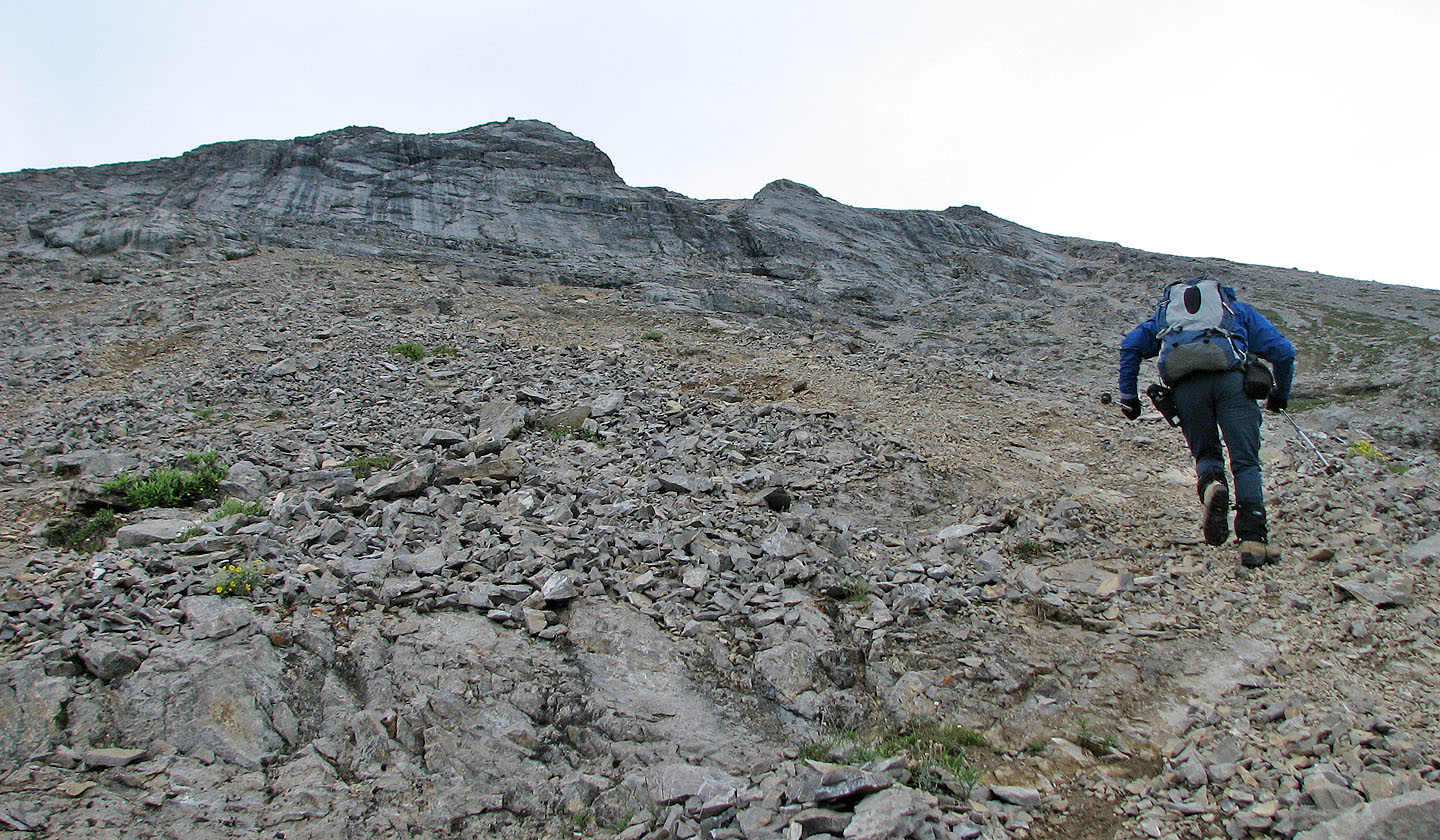
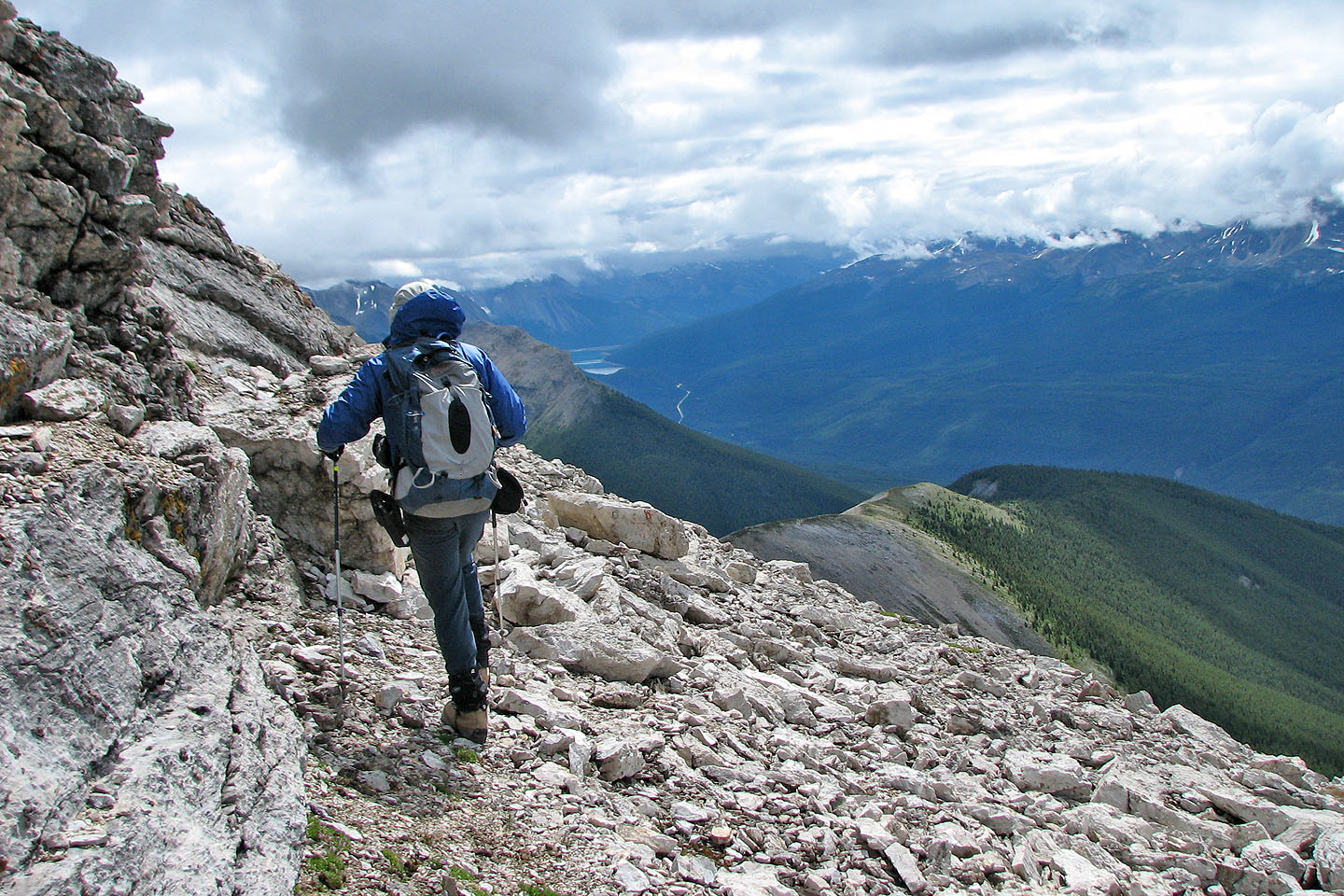
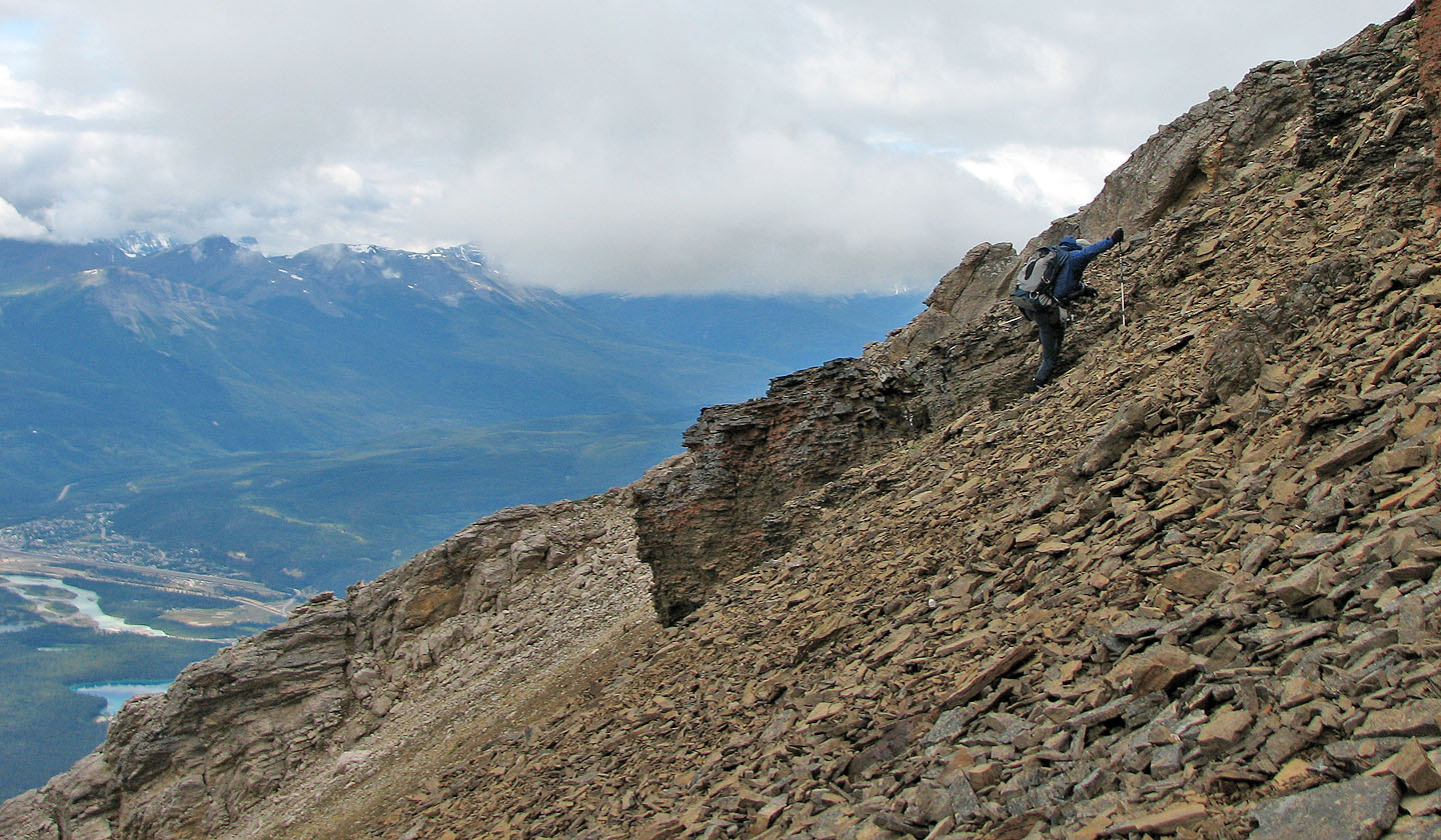
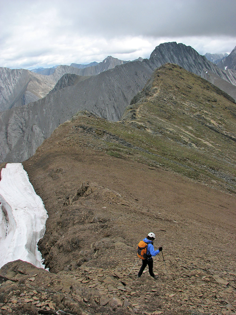
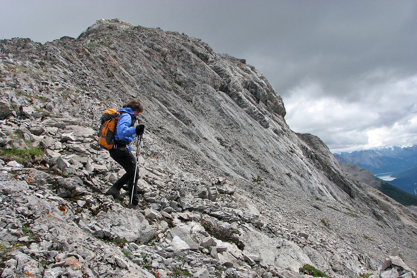
Above the treeline, the trail continued its steep ascent
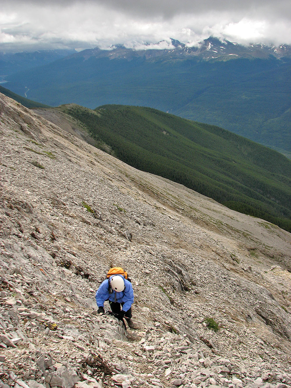
We crossed some scree-covered slabs, but an easier trail lay west
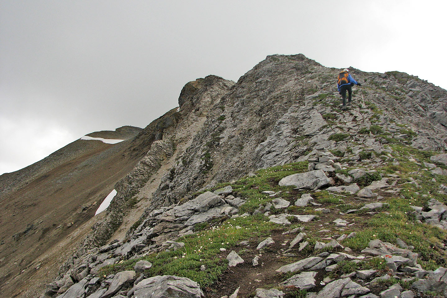
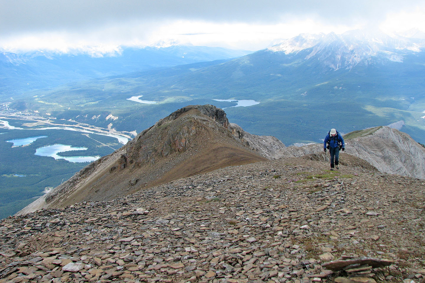
The trail continues along the ridge
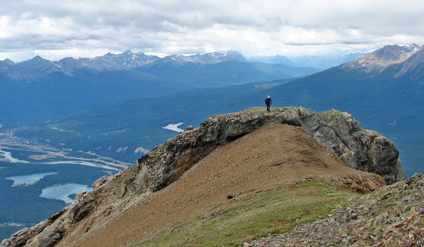
The summit is on the left (mouse over to look back)
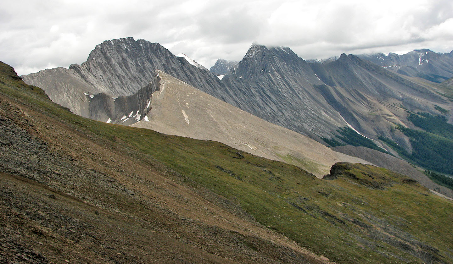
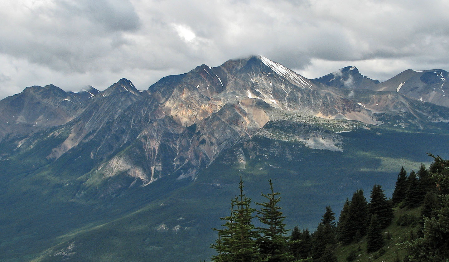
Grisette Mountain (left) partially hides snow-covered Mount Dromore
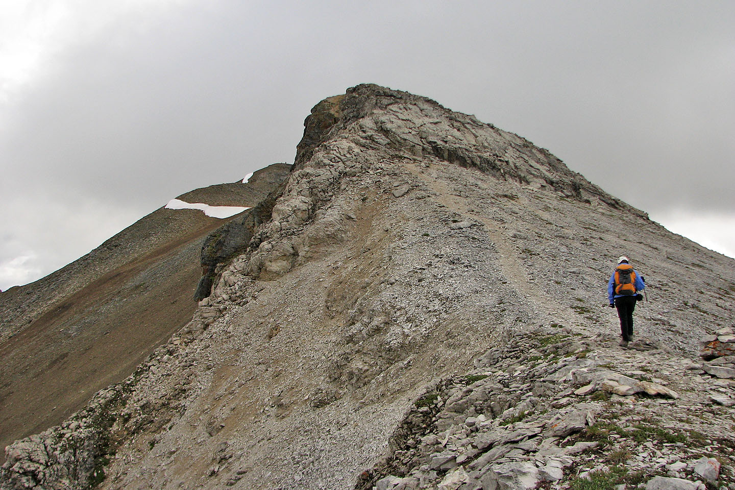
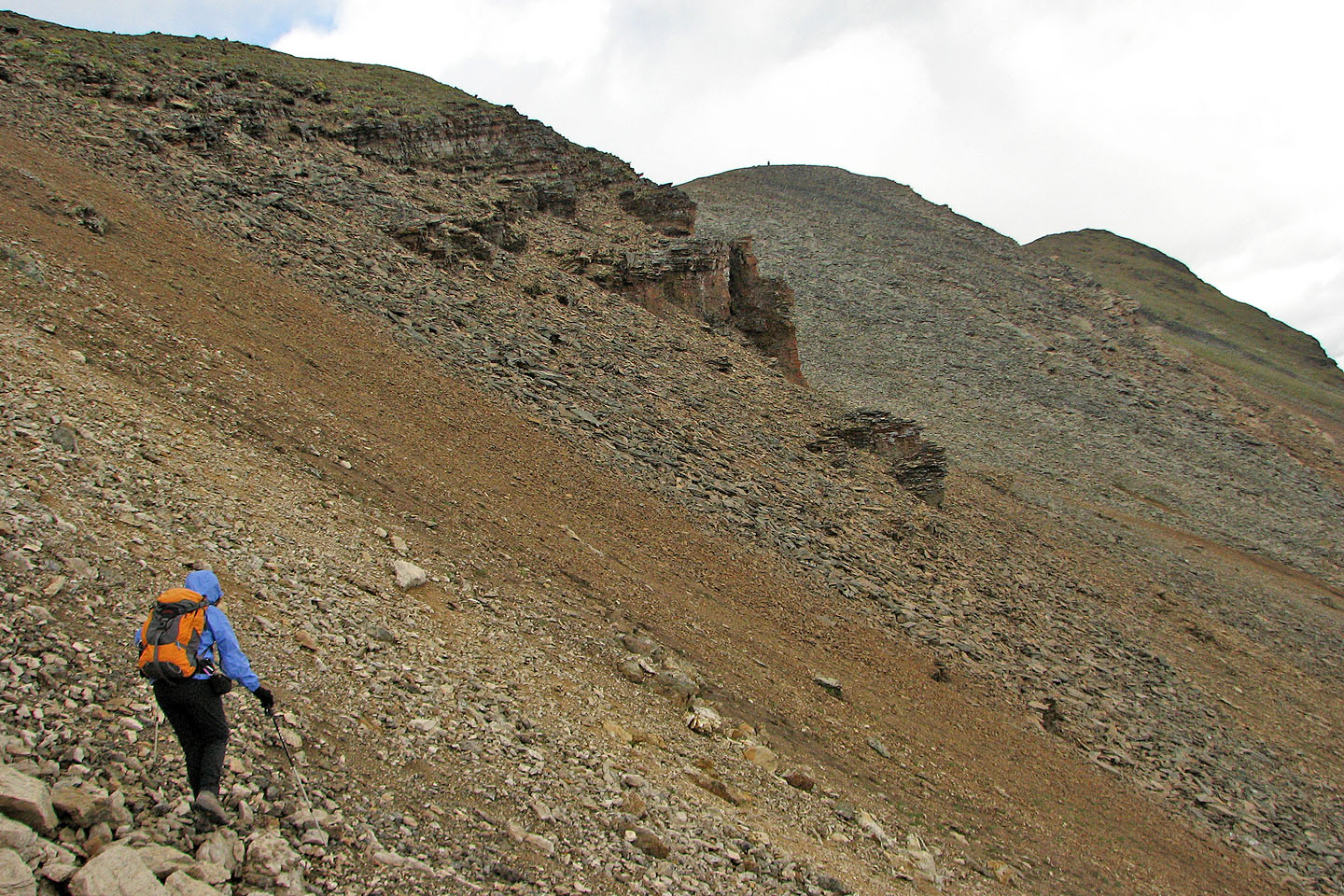
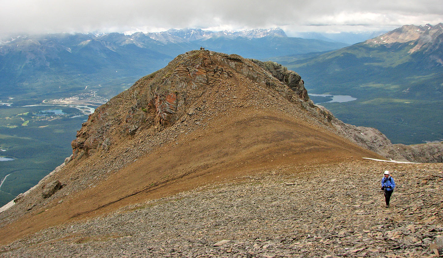
At the base of the hump
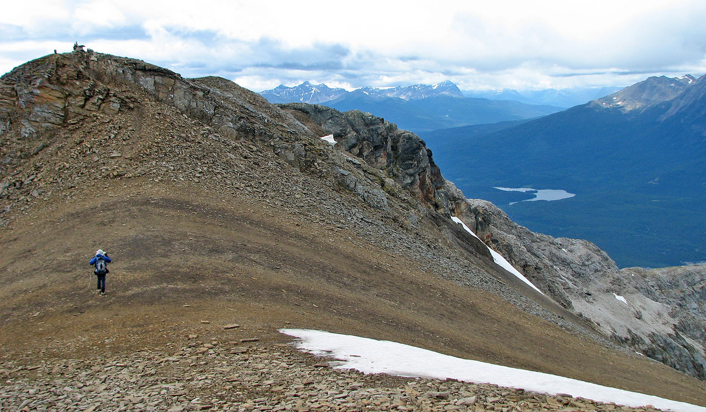
The summit cairn appears. Instead of regaining the ridge here, we visited the cliffs ahead.
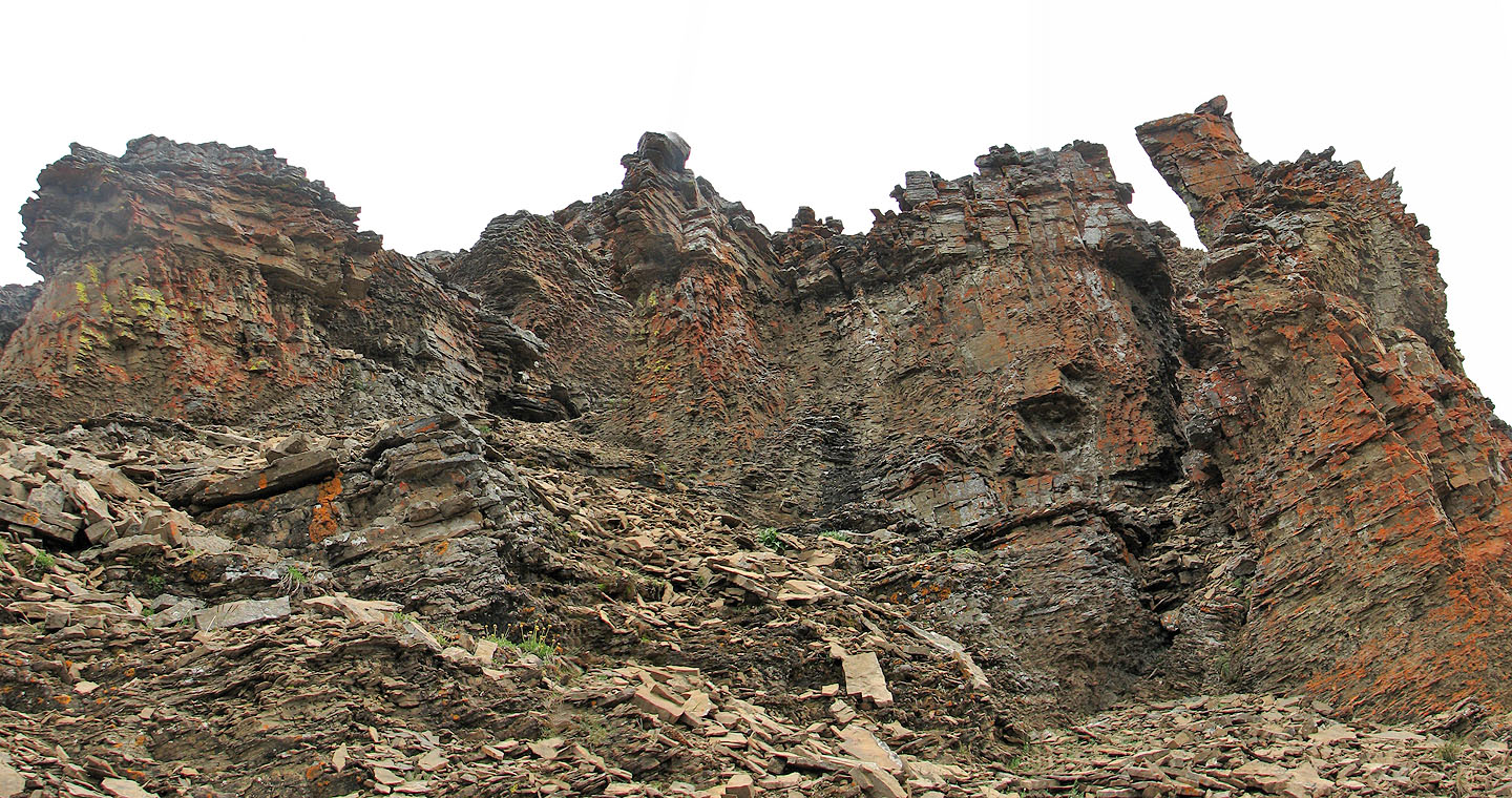
Keeping low, we bypassed the hump on the ridge to check out colourful rock formations
A closer look at the rocks
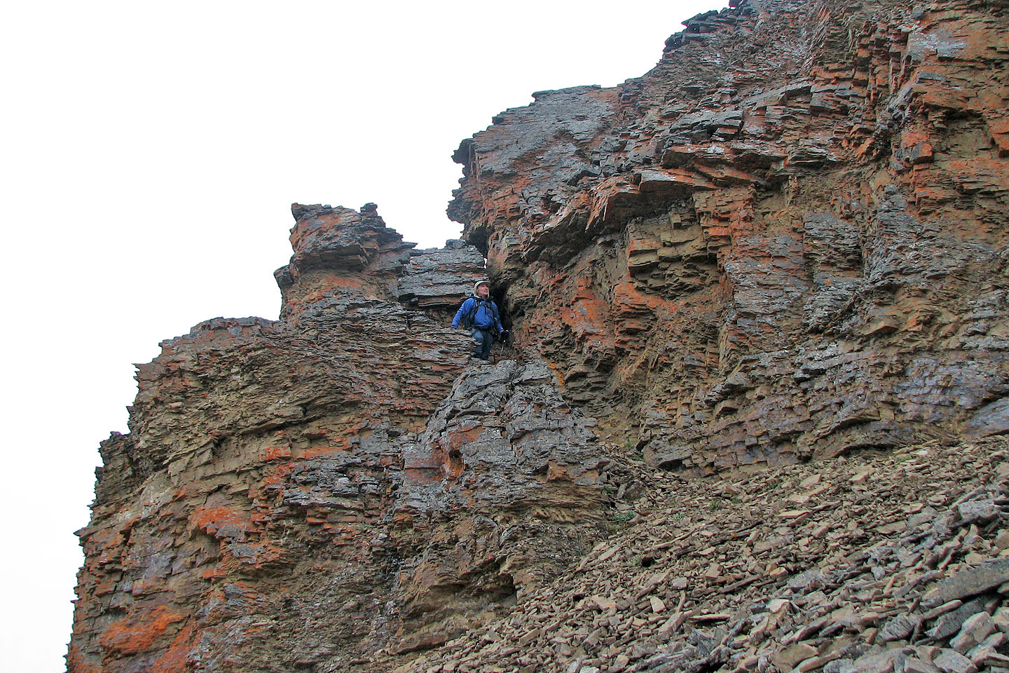
Climbing up to regain the ridge
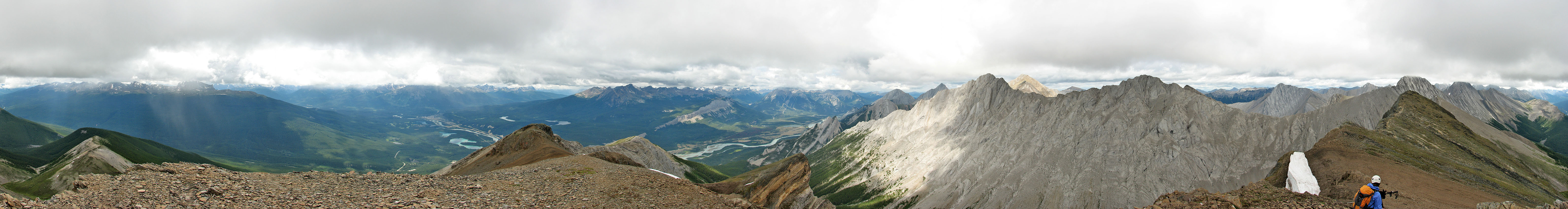
Looking northeast
Arriving at the forehead summit
Almost at the nose summit, looking back at the forehead summit
From the nose summit we continued to the east end
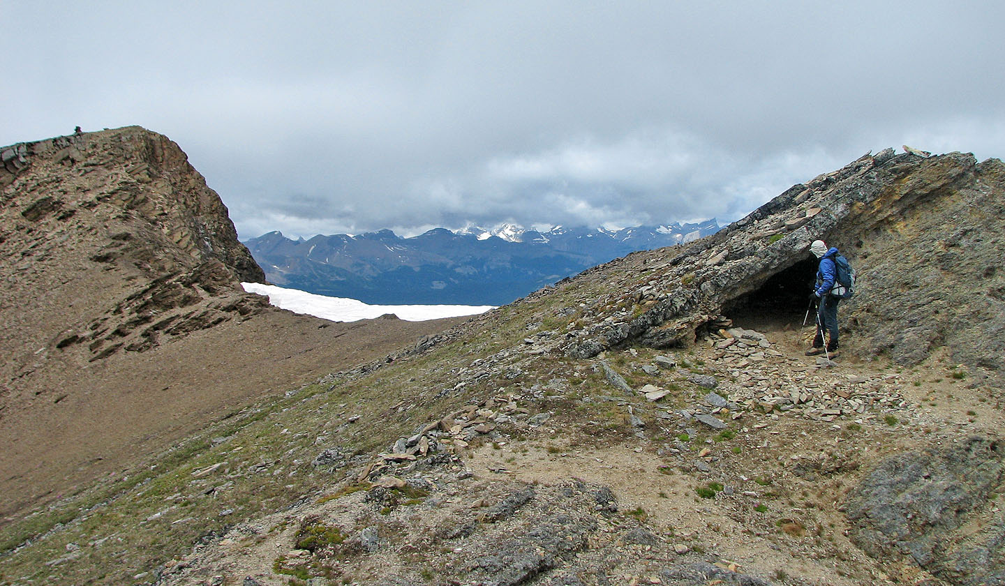
Stopping to check out a small cave. Nose summit is left.
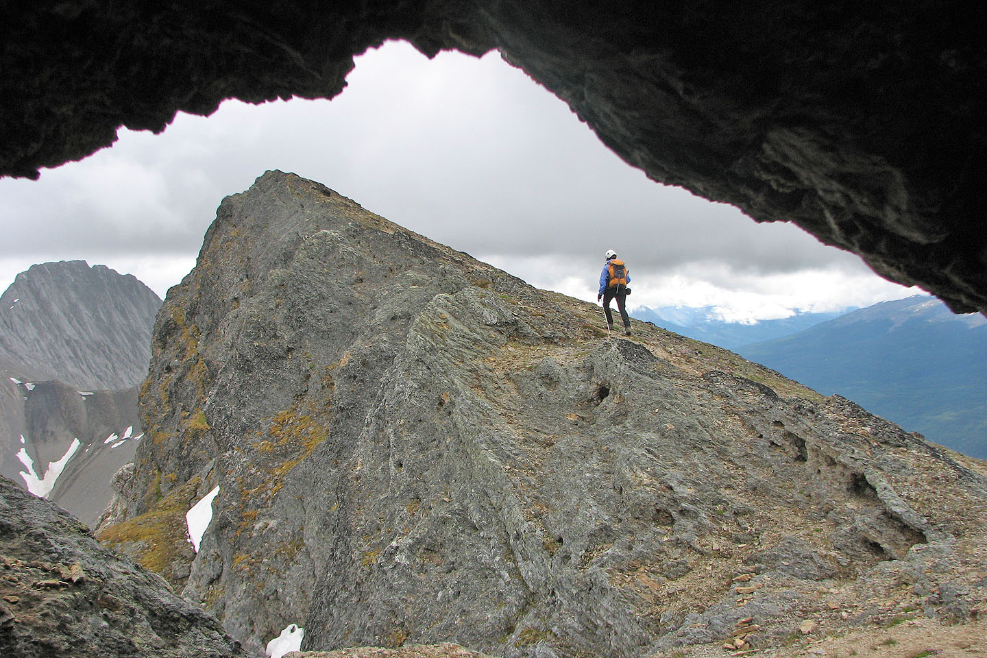
I watched Dinah from the cave as she made her way to the east end
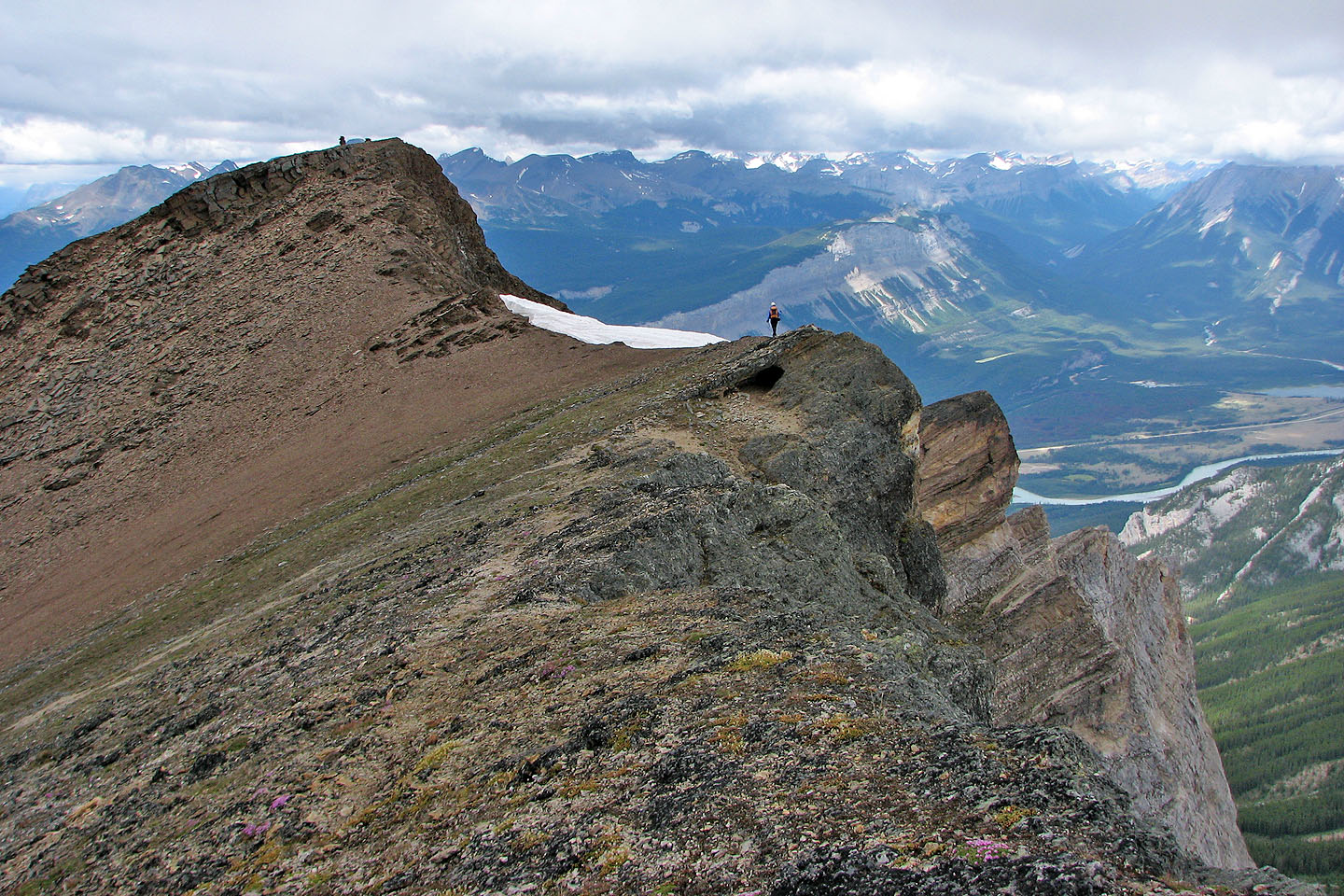
Looking back from the east end to the nose summit. Dinah stands above the cave.
Heading back to the forehead summit
At the top of the hump which we bypassed on the ascent
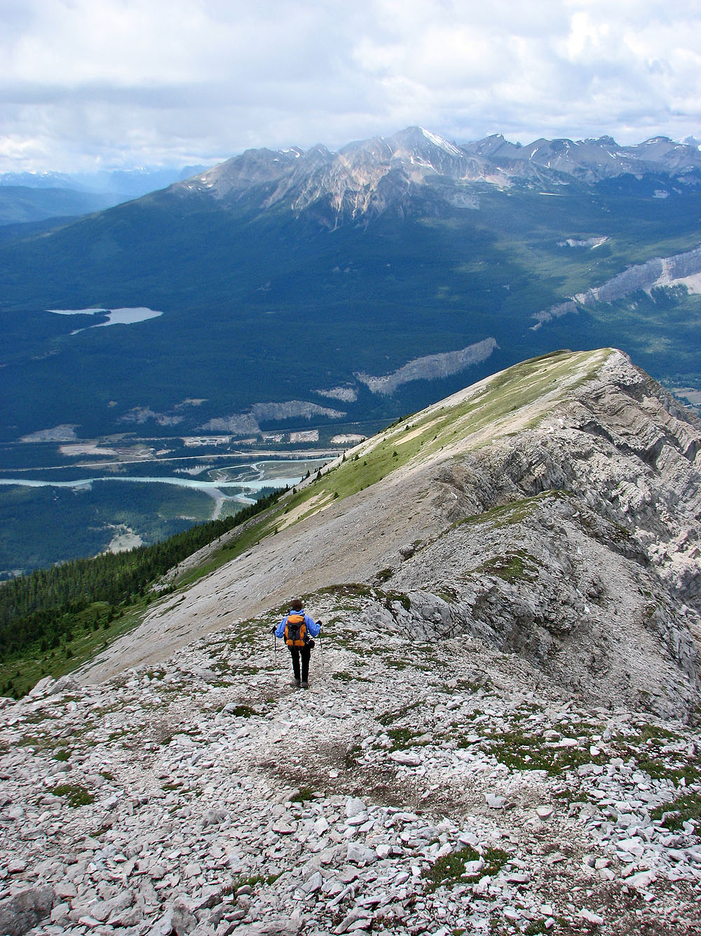
One could travel far along the open ridge, but the trail down is below us
Coming down, we left the ridge
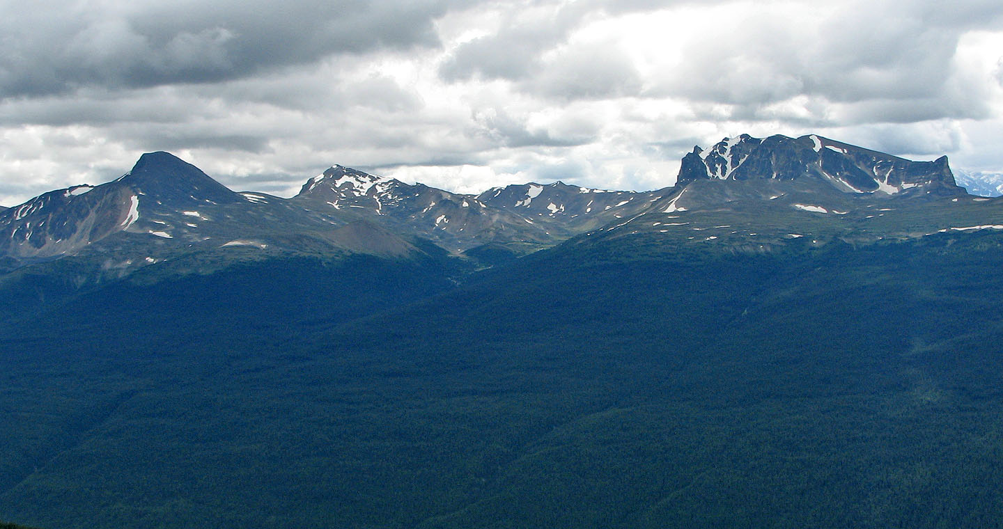
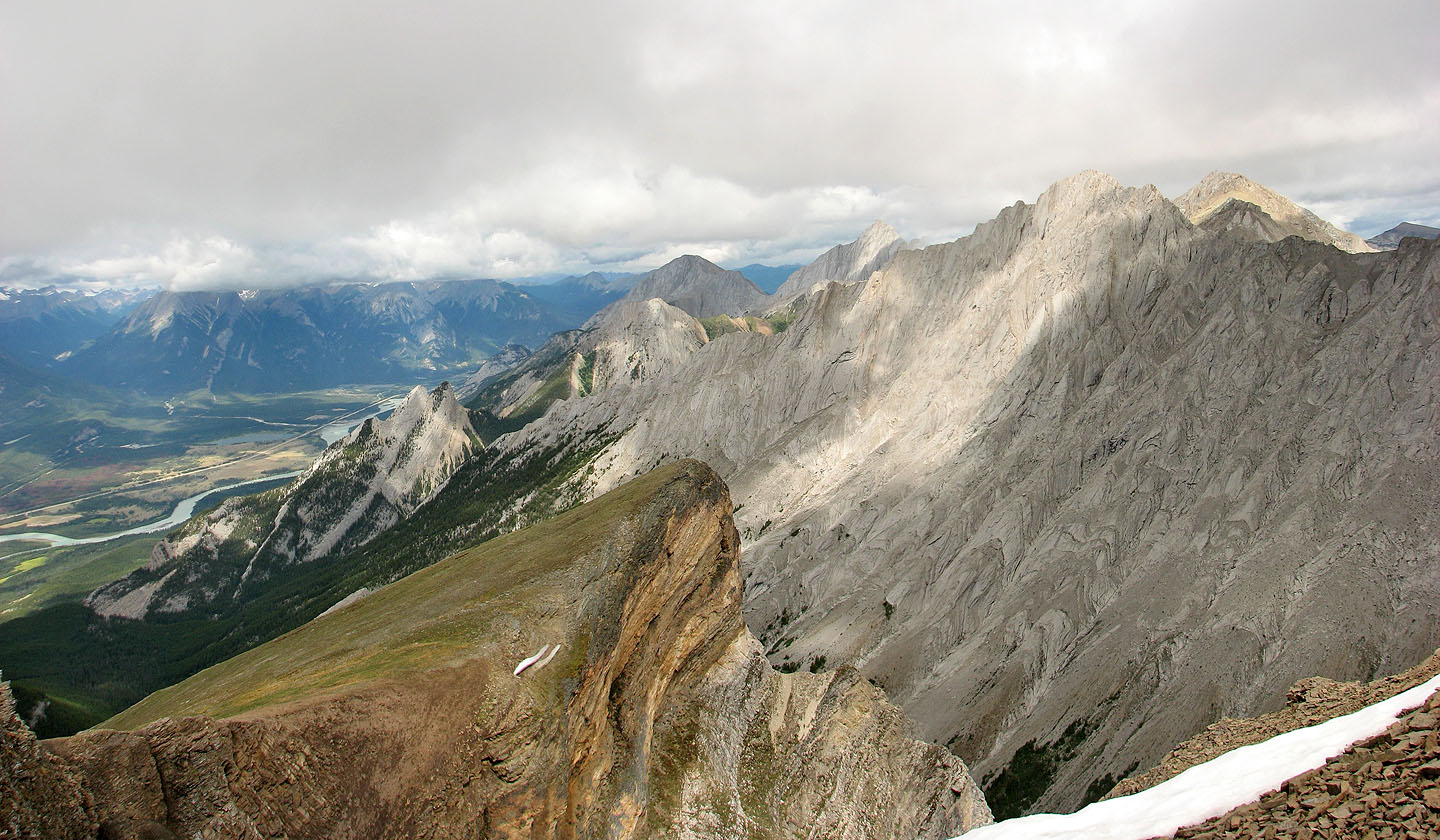
Looking south towards the Skyline Trail: Excelsior and Centre Mountains and Mount Tekarra.
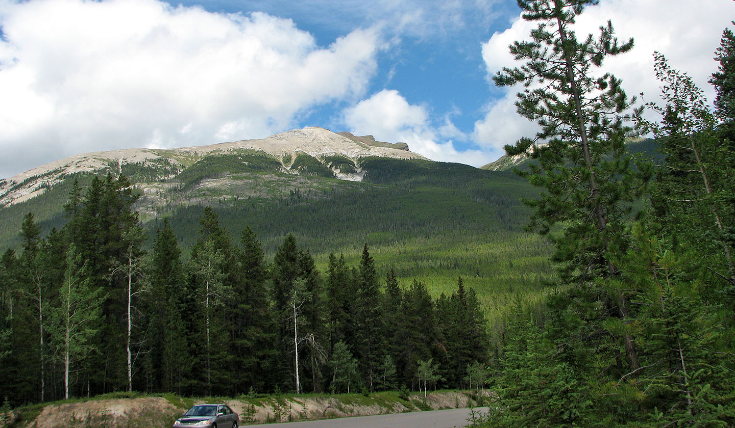
Back at the parking lot, looking up at Roch Bonhomme
83 C/13 Medicine Lake