bobspirko.ca | Home | Canada Trips | US Trips | Hiking | Snowshoeing | MAP | About
Caldron Peak
Banff National Park, Alberta
August 7, 2010
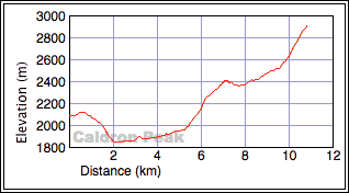
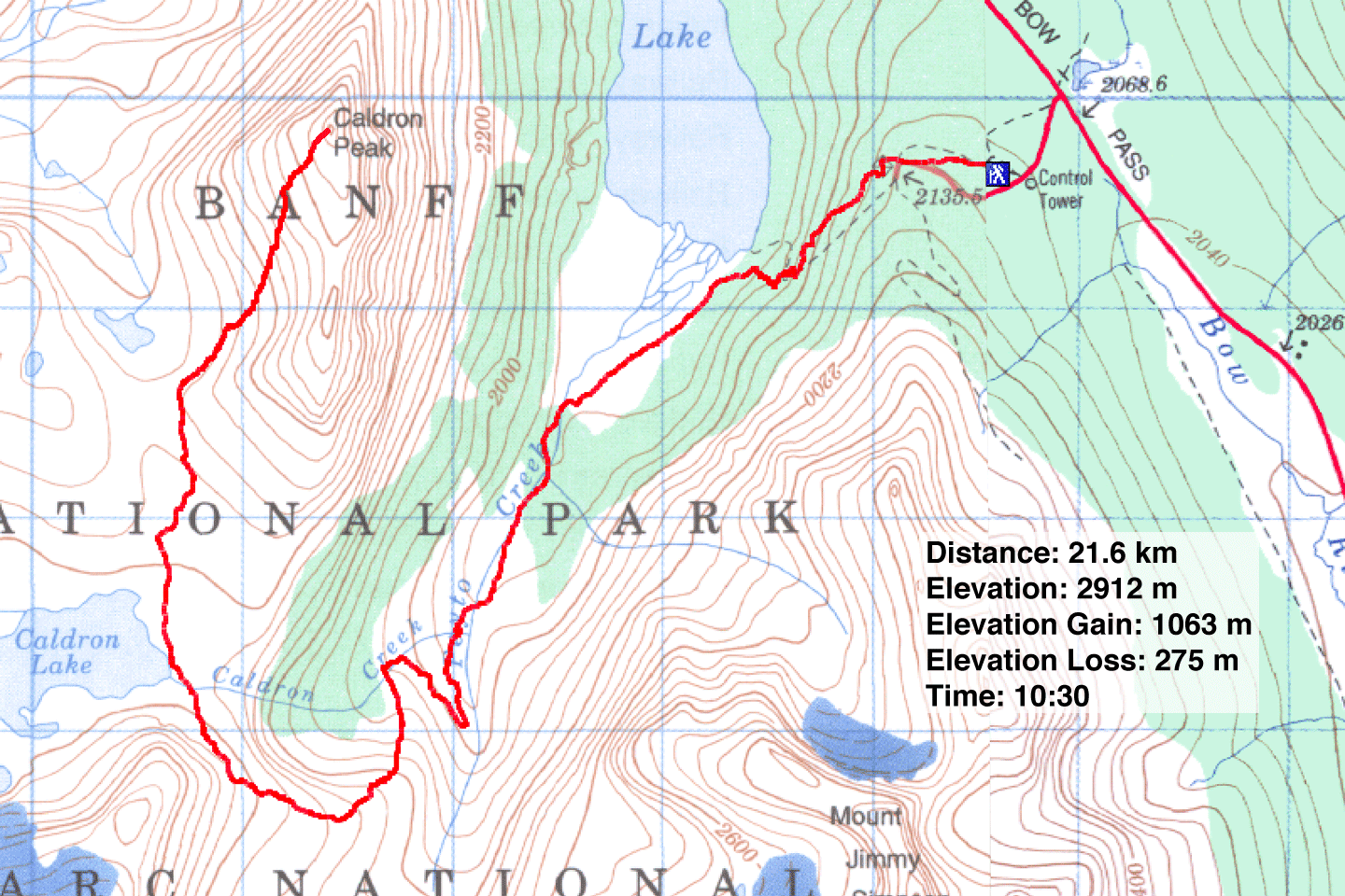
Distance: 21.6 km (13.4 mi)
Cumulative Elevation Gain: 1541 m (5056 ft)
As Sonny, Dinah and I drove up the Icefields Parkway, we had second thoughts about climbing Caldron Peak.
Situated in picturesque environs, we wanted to ascend Caldron under blue skies. But when we parked at the
trailhead it was overcast. Halfheartedly, we started up the trail.
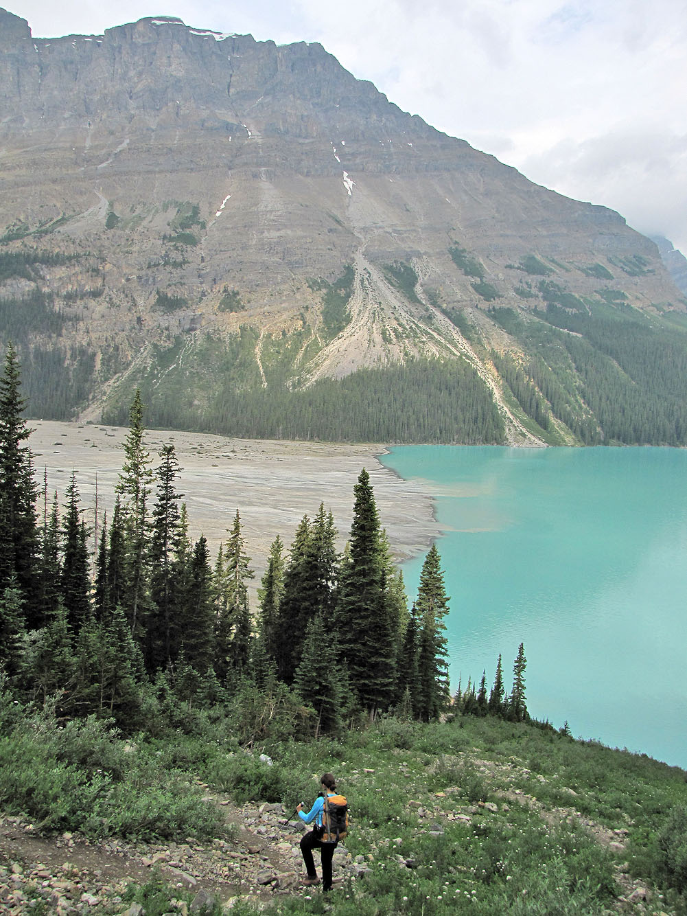
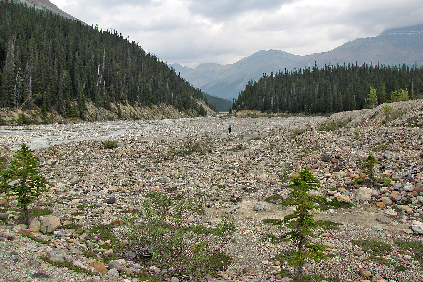
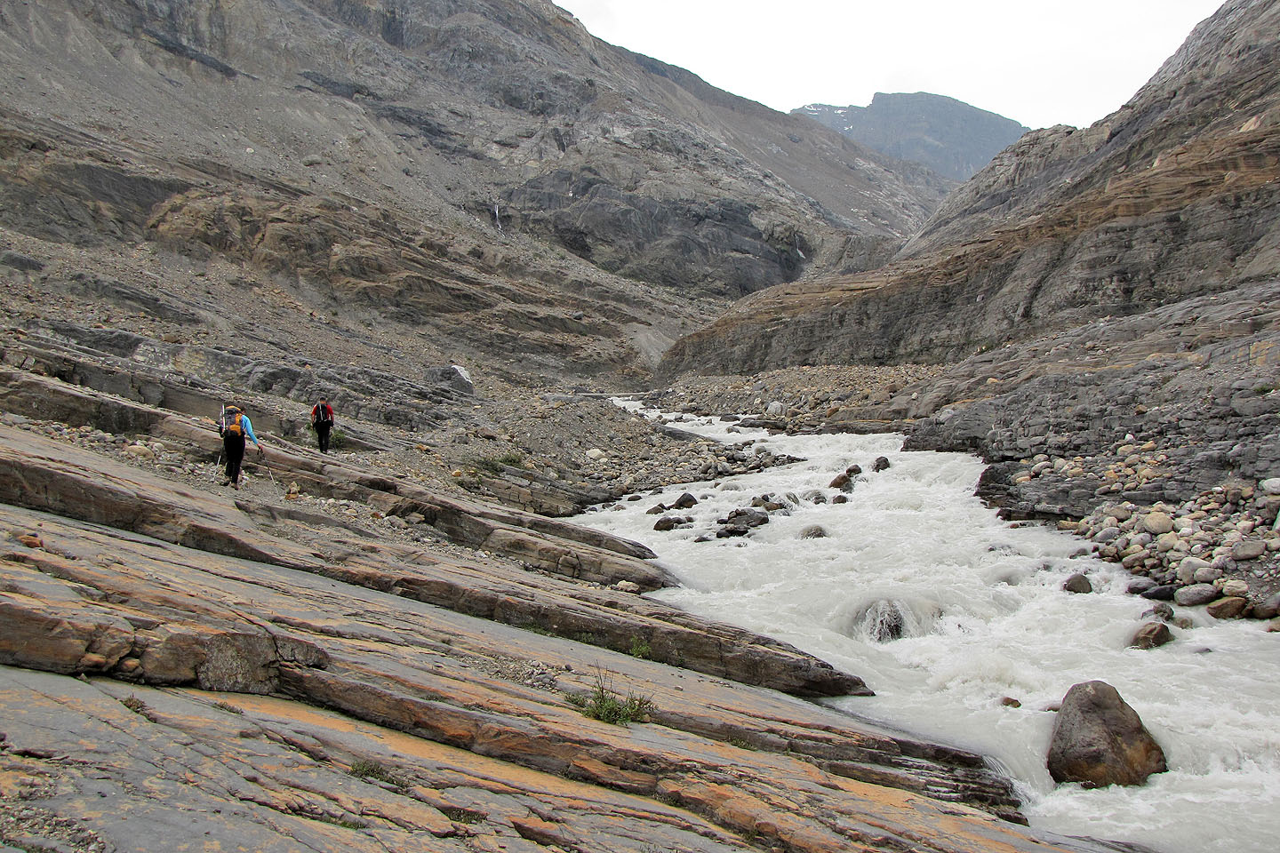
After navigating through the throng of tourists at the Peyto Lake viewpoint, we dropped 275 m to the gravel
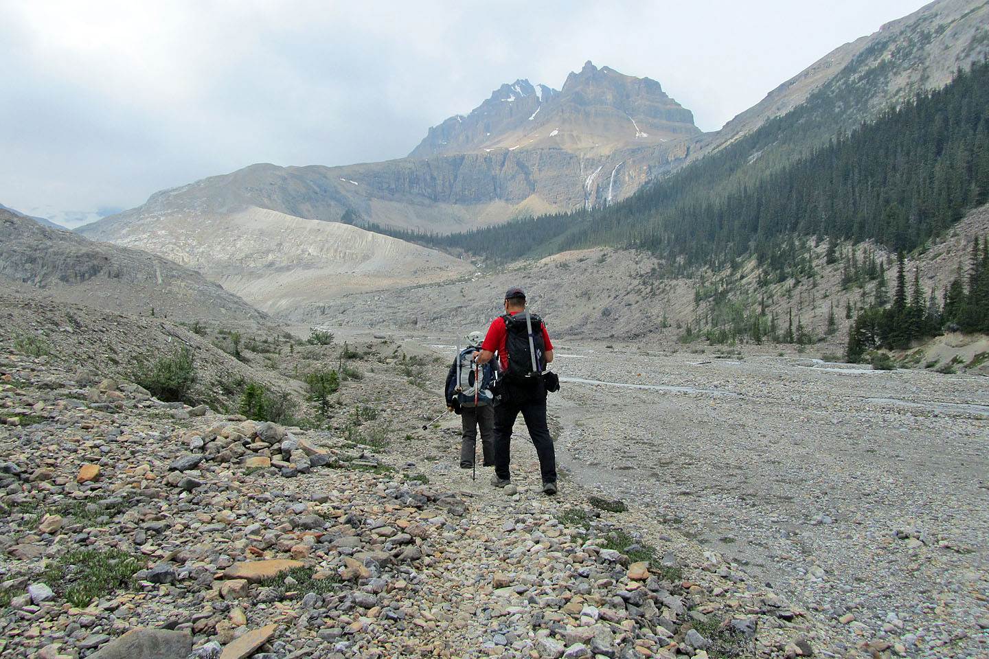
flats south of the lake. From the flats to Caldron Lake the route was straightforward: we hiked up Peyto Creek
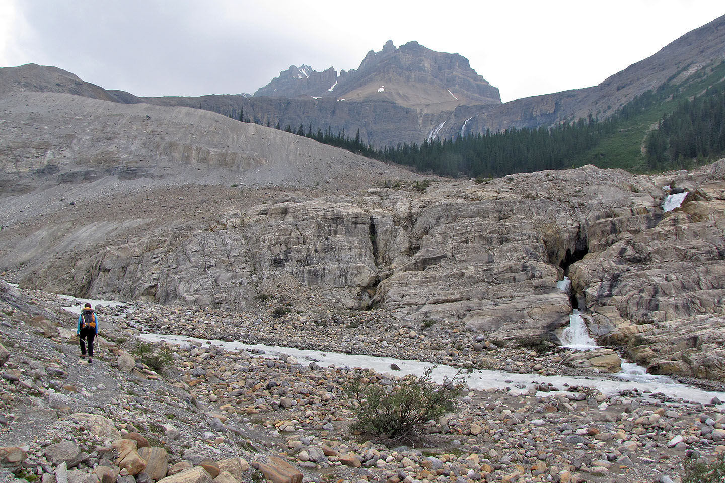
to the log bridge, crossed the creek, and took the trail up the lateral moraine before reaching Caldron
Lake.
Despite gray skies, Caldron Lake was still beautiful. But after crossing the end of the lake, the sky grew
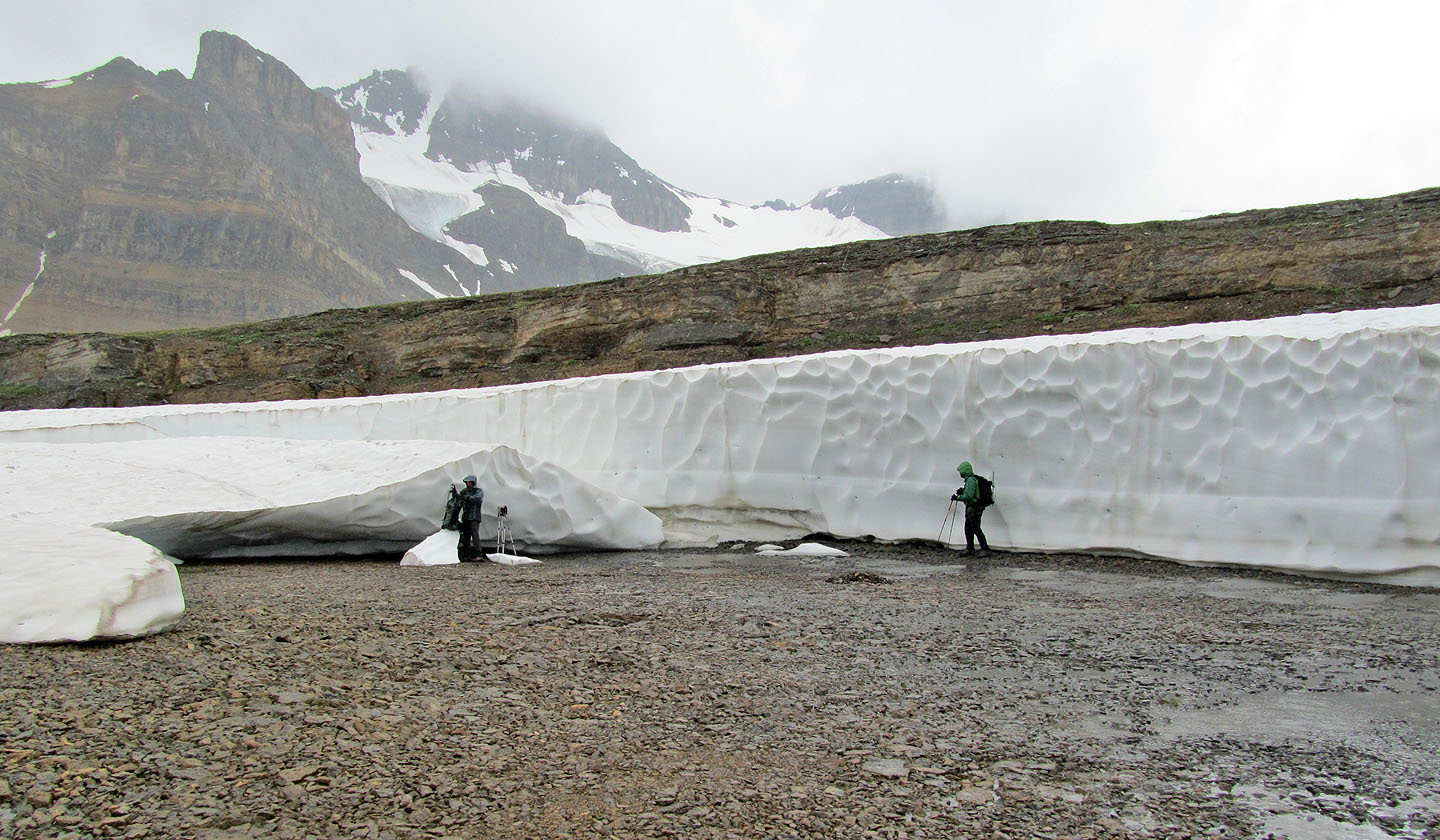
darker. Then it started raining. To escape the rain, we backtracked to a wall of snow that towered above us.
While somewhat sheltered from the rain, Sonny suggested turning back. But when the rain stopped, we pushed
on.
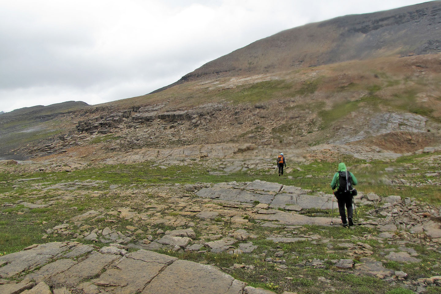
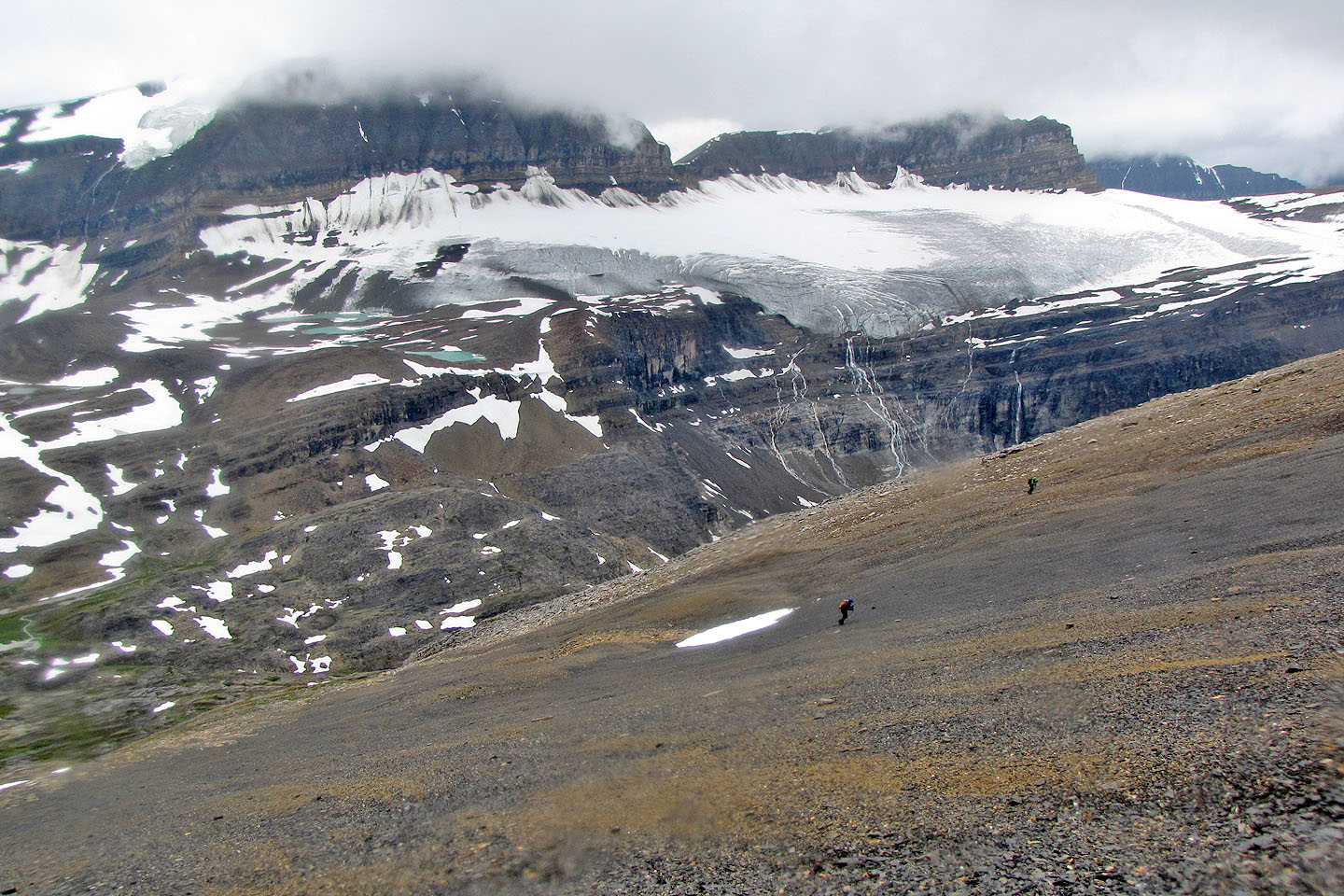
We hiked up the alpine valley that separates Mistaya Mountain and Caldron Peak; we had to pass Caldron's false
summit on our right before we started climbing. When we reached the edge of the bowl before Caldron's true
summit, it began raining. Dinah and I hesitated. An intimidating expanse of loose rock and scree separated us
from the top, not to mention 400 m of elevation. But Sonny forged on; with the summit in sight, he wasn't
turning back now. We followed Sonny across the bowl.
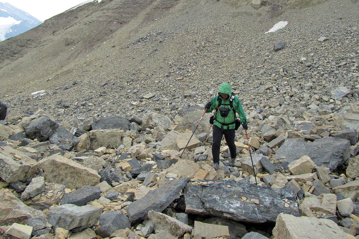
On the lower, talus-covered slopes, we had to tread carefully, but above that, scree provided easier terrain.
In good weather this would have been merely a slog, but in rain it was a wretched ascent. However, we made it
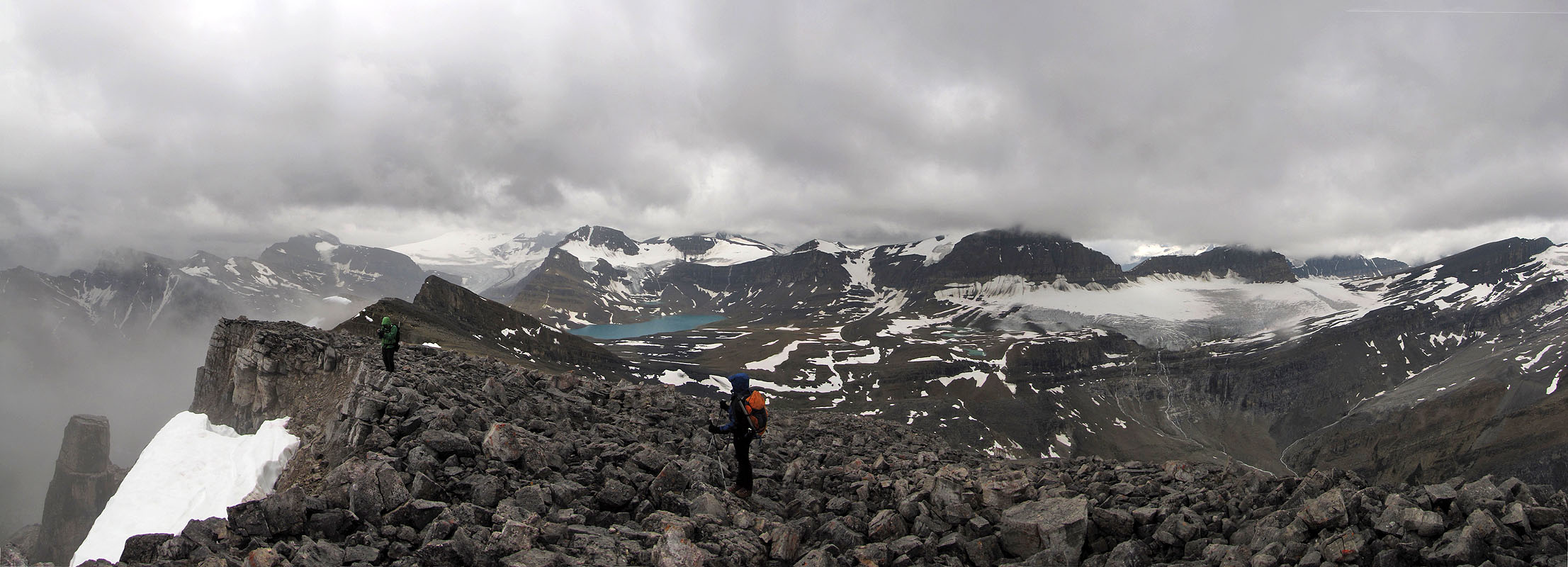
to the summit, and we were happy about that. I took a panorama, but poor weather limited views to the west.
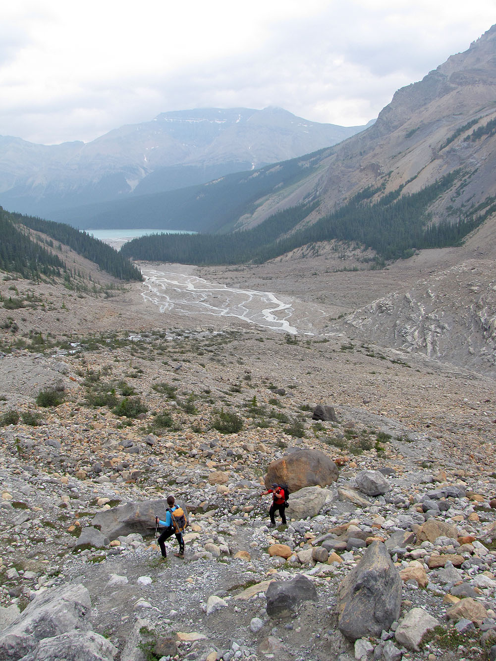
But the joy of summiting was short-lived. It rained off and on all the way back, and what joy that wasn't
washed away by the rain was left at the flats when we began the long ascent back up to the viewpoint.
I reached the viewpoint ahead of Sonny and Dinah. Apparently the rain had kept away the tourists, except for a couple from California. The woman asked about Peyto Lake, and we fell into conversation. I pointed to the mountain that we had climbed. She seemed impressed and curious. After firing off several questions about our trip, she asked to have a picture taken with me. As I posed beside her, I found it easy to smile. Despite the long day and miserable weather, we did, after all, climb Caldron Peak.
Postscript: The following year saw the bridge over Peyto Creek washed out along with any chance of keeping your feet dry. As an alternative, hikers have forded the upper braided creek, after the trail through the trees.
KML and GPX Tracks
Sonny's Trip Report
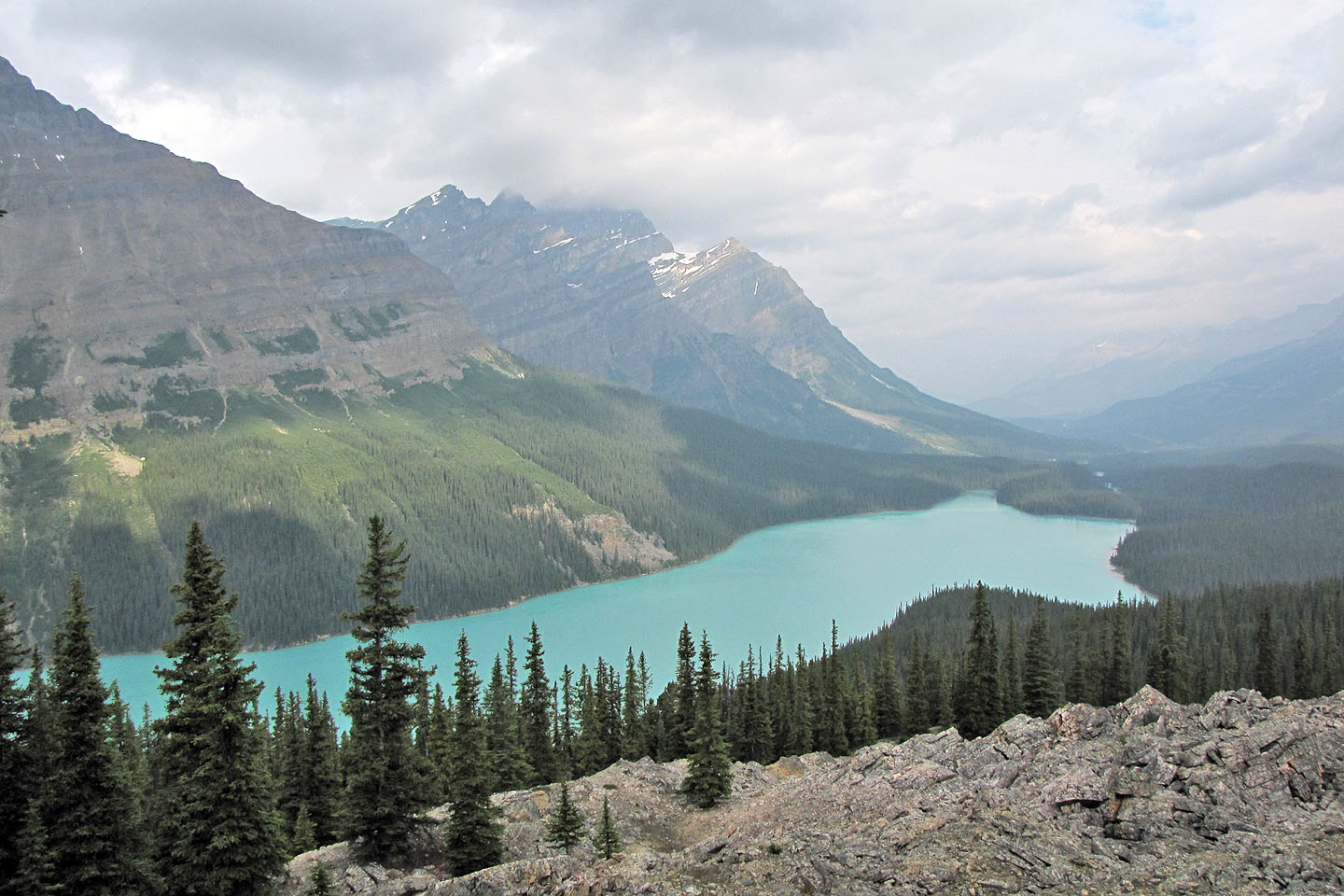
Peyto Lake seen from the viewpoint
Approaching the flats. Caldron Peak ahead.
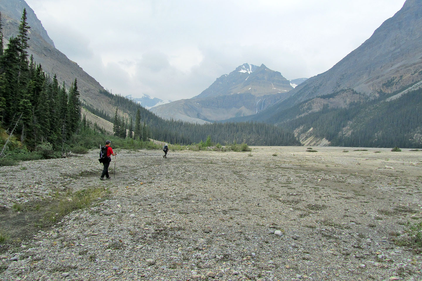
Crossing the gravel flats
Looking back: we followed the trail that runs through the trees
The route follows the curve of the long moraine/ridge below Peyto Peak
The moraine we'll ascend looks close from here
We'll cross Peyto Creek on the log bridge ahead
Caldron Peak appears behind us
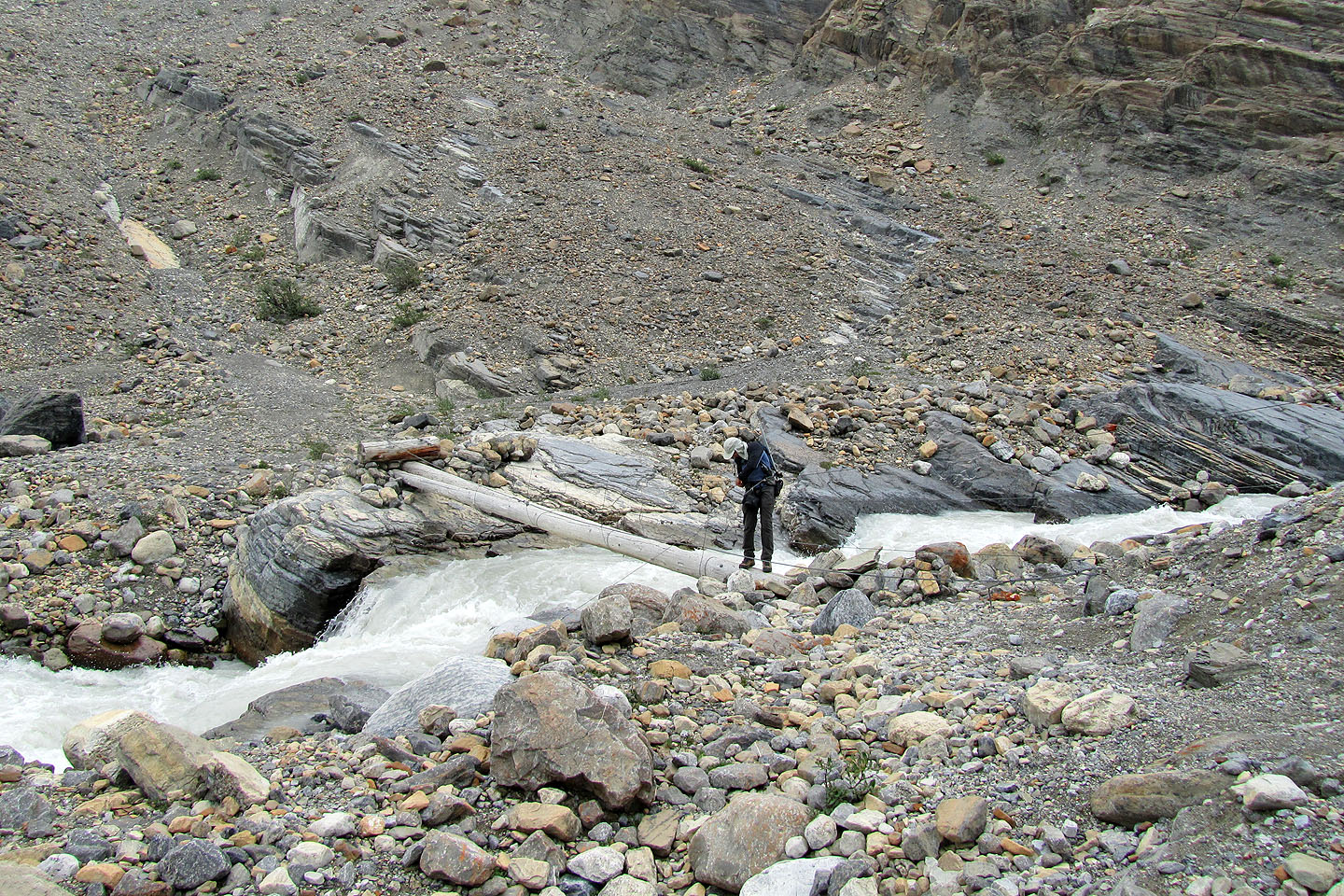
Looking back after crossing the bridge
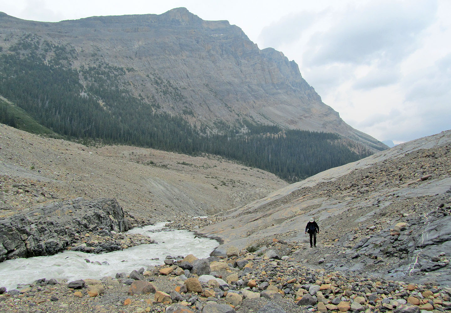
Starting up the lateral moraine
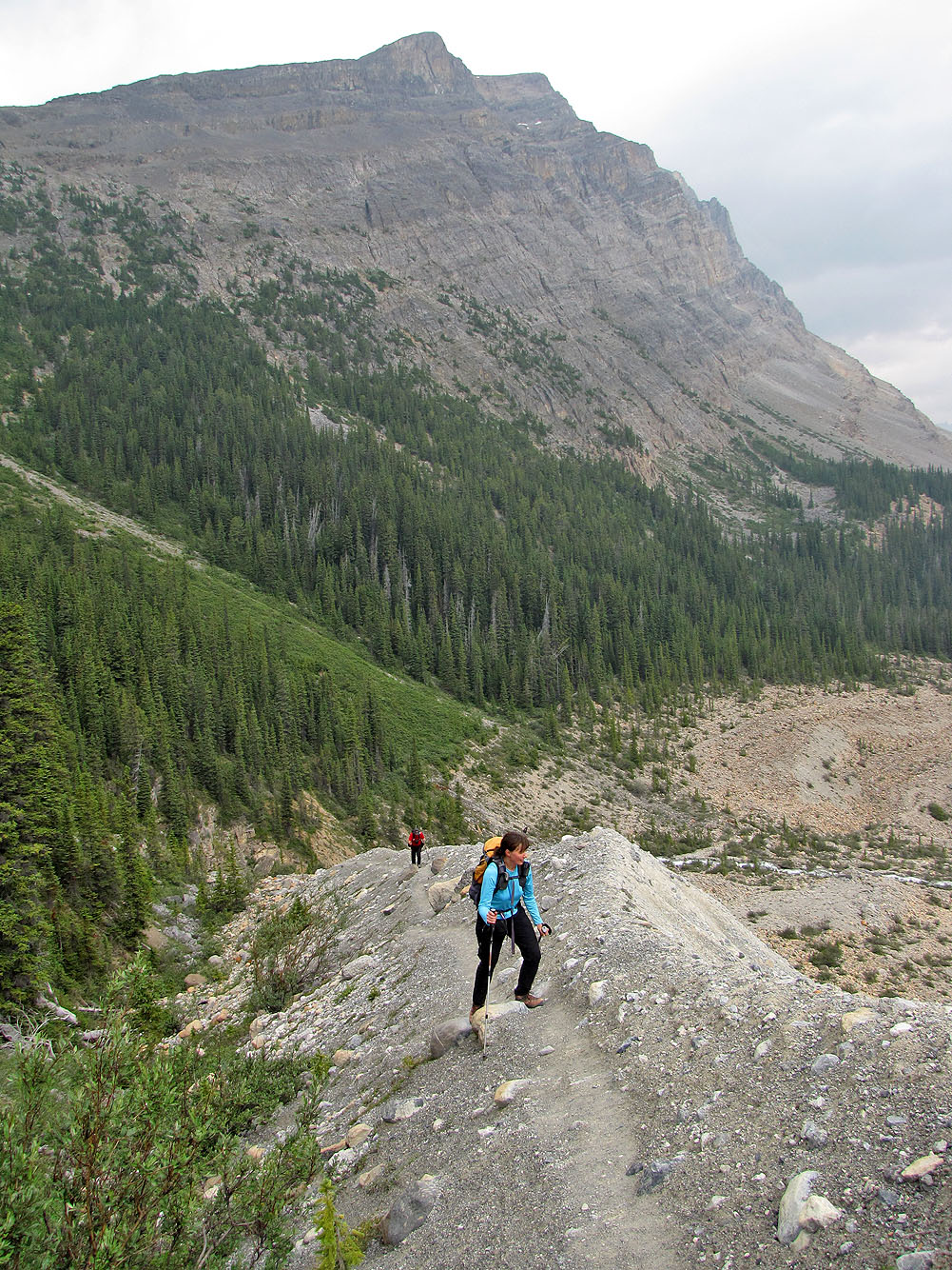
A good trail takes us up
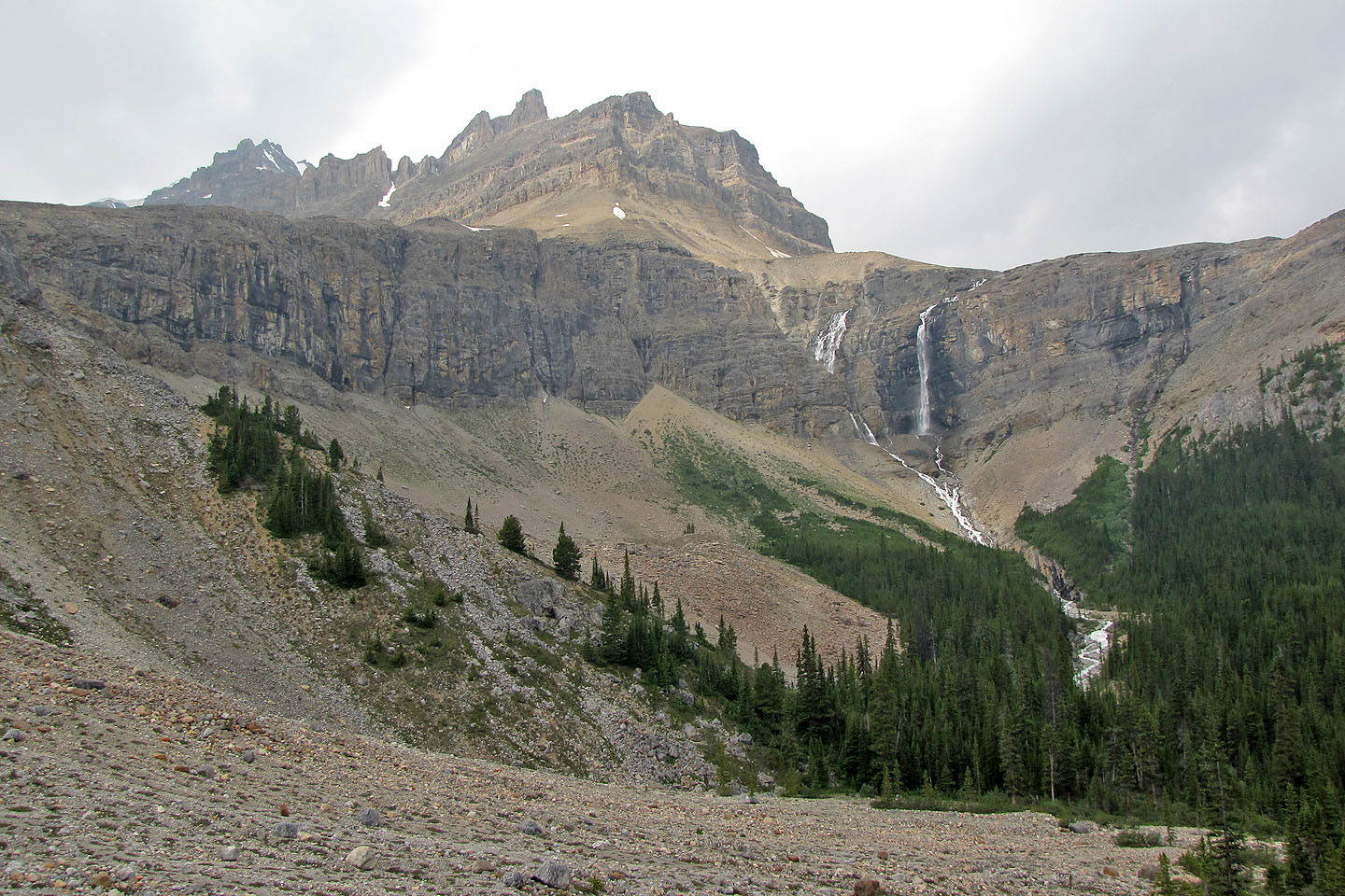
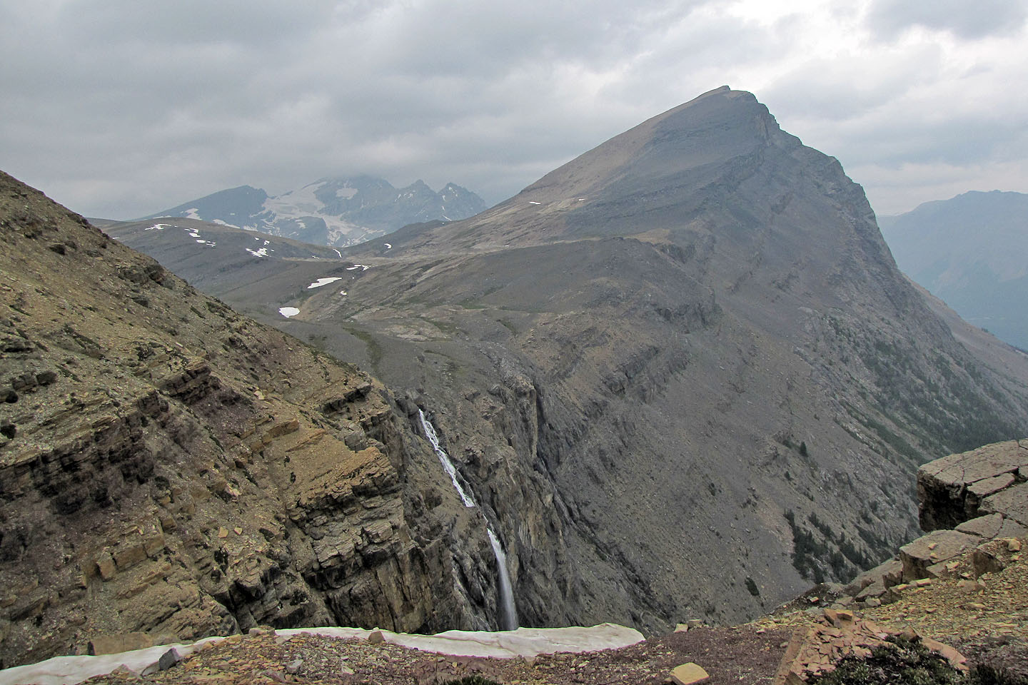
On our right are waterfalls
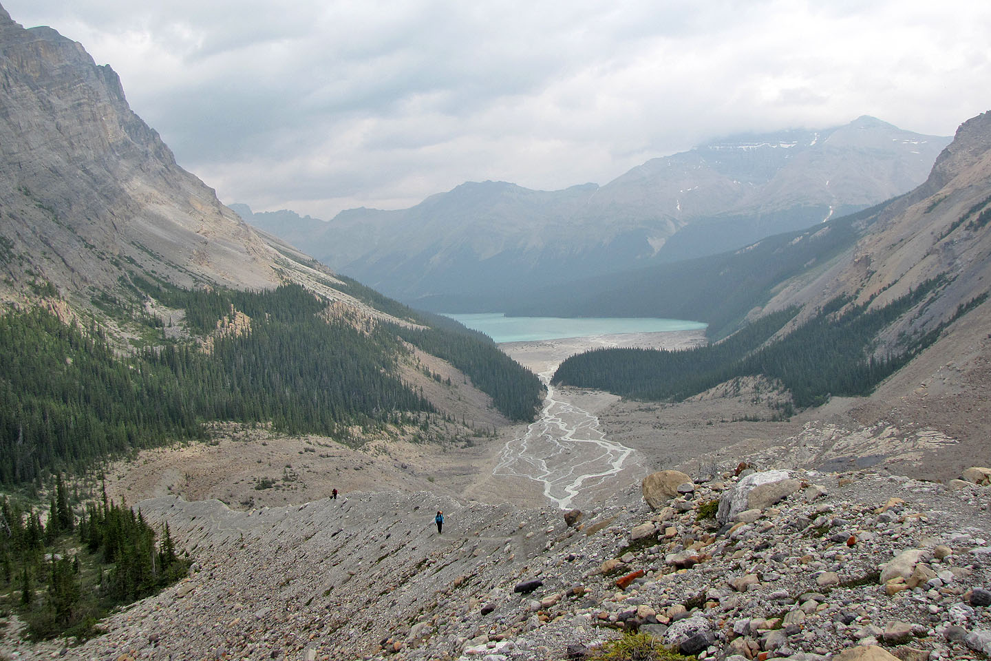
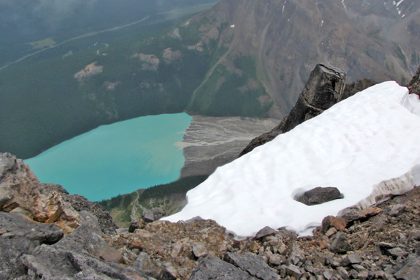
Looking back at Peyto Lake
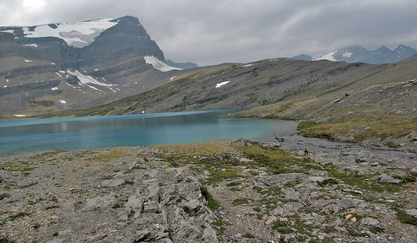
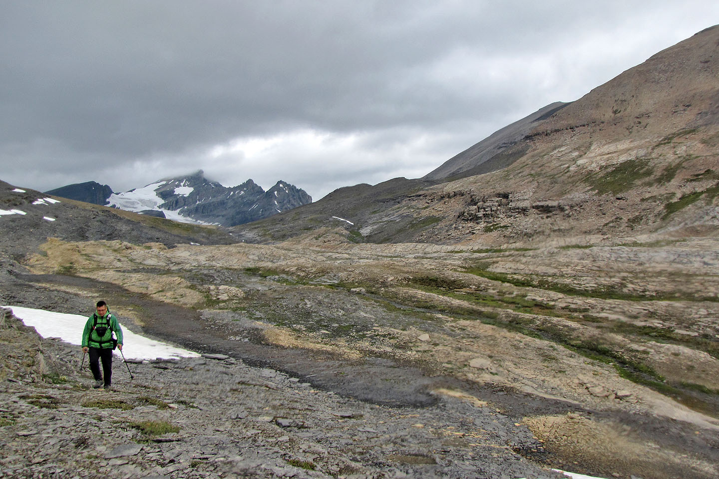
The long hike along the moraine
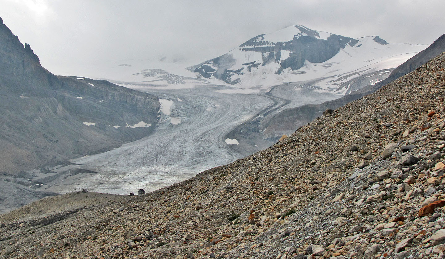
Peyto Glacier
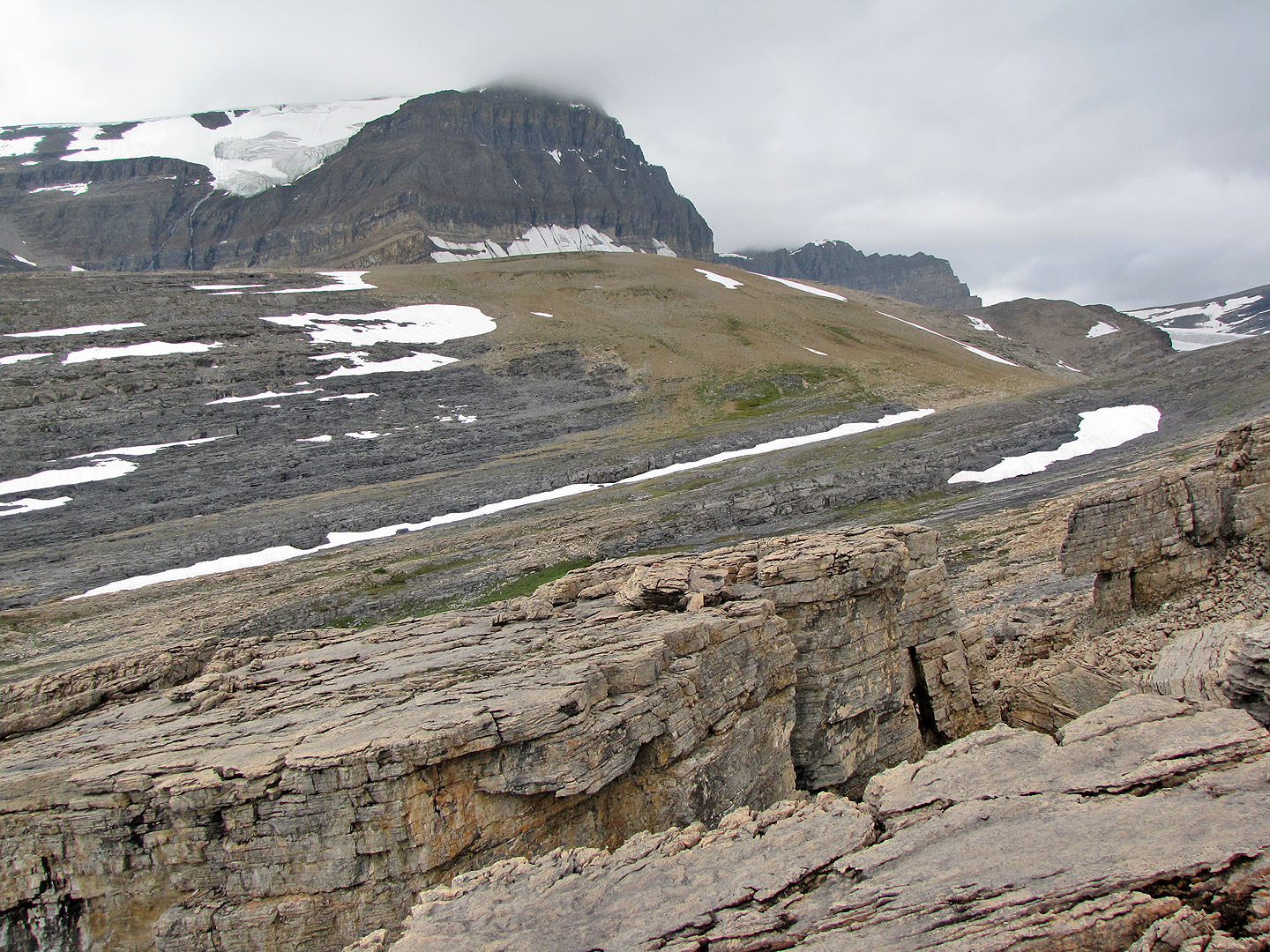
Caldron Peak
The trail levels off
Sonny crosses the boulder field before the lake
Caldron Lake
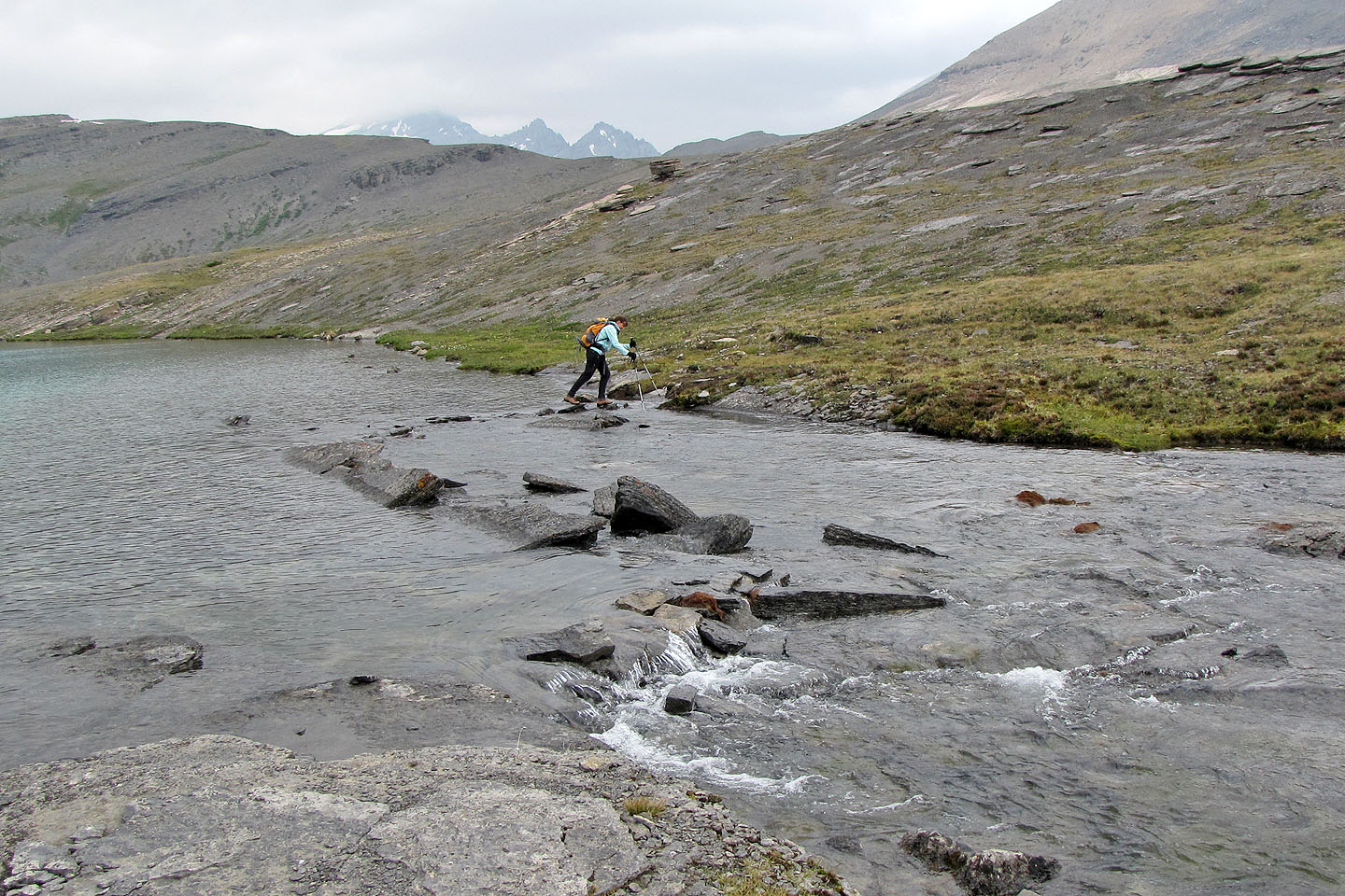
Using stepping stones, Dinah reached the other side of Caldron Lake
Looking back at Peyto Peak and Caldron Lake
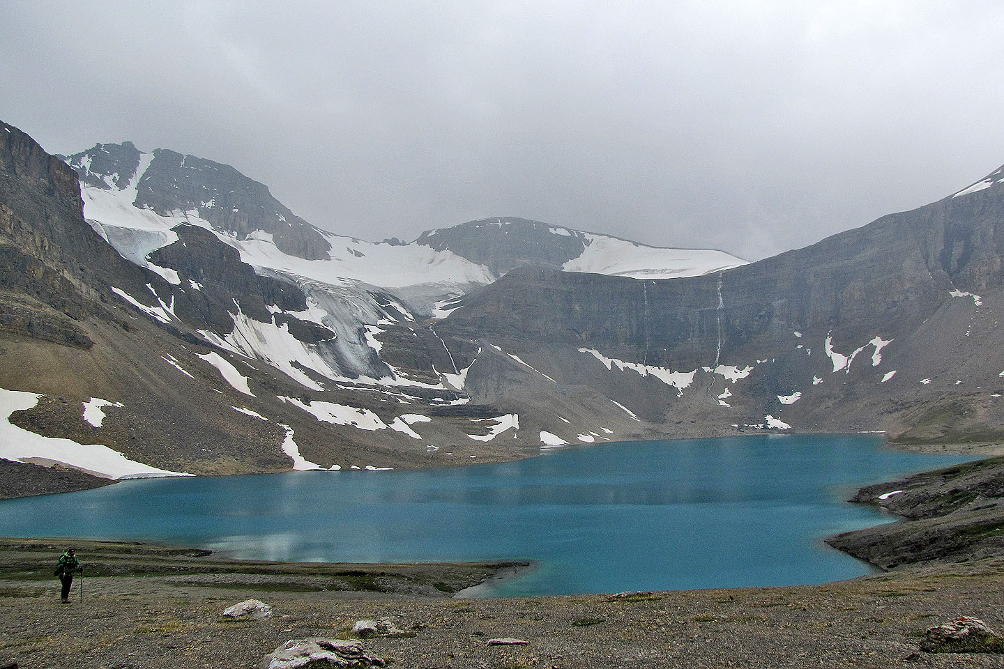
Even under cloudy skies, the blue of Caldron Lake appeared vivid
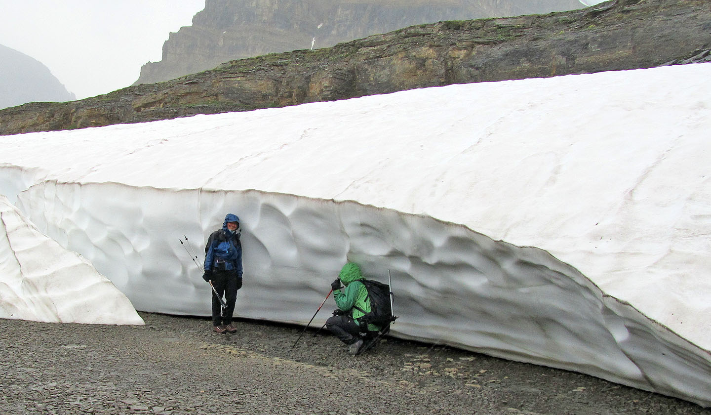
Dinah and Sonny sought shelter from the rain
Despite the rain, they still managed to smile
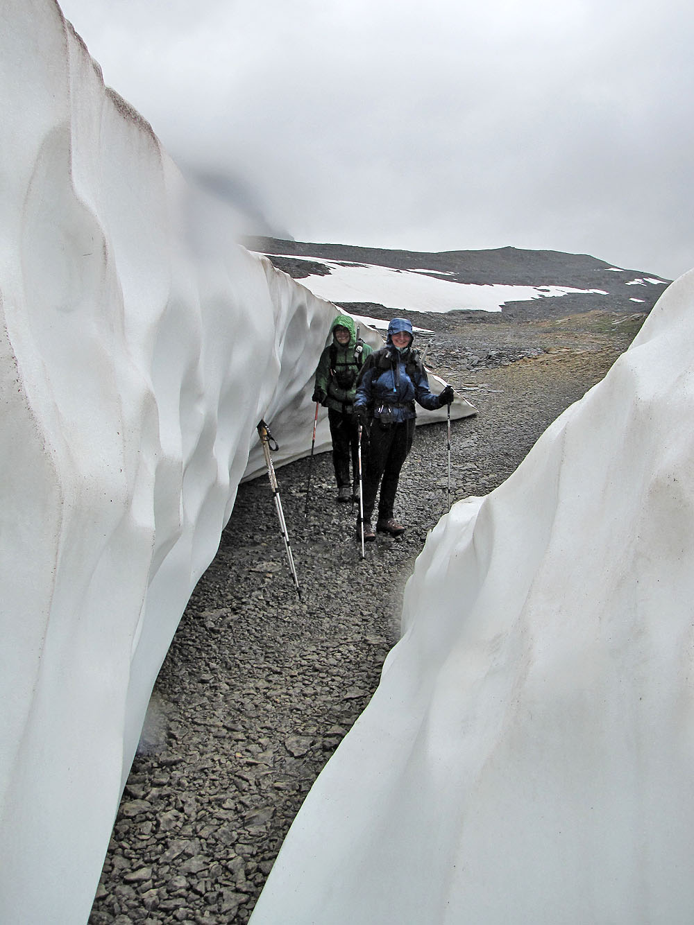
Impressively deep snow!
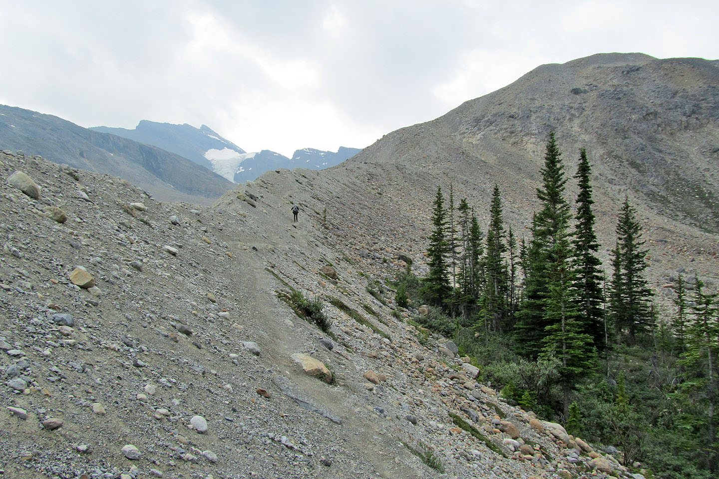
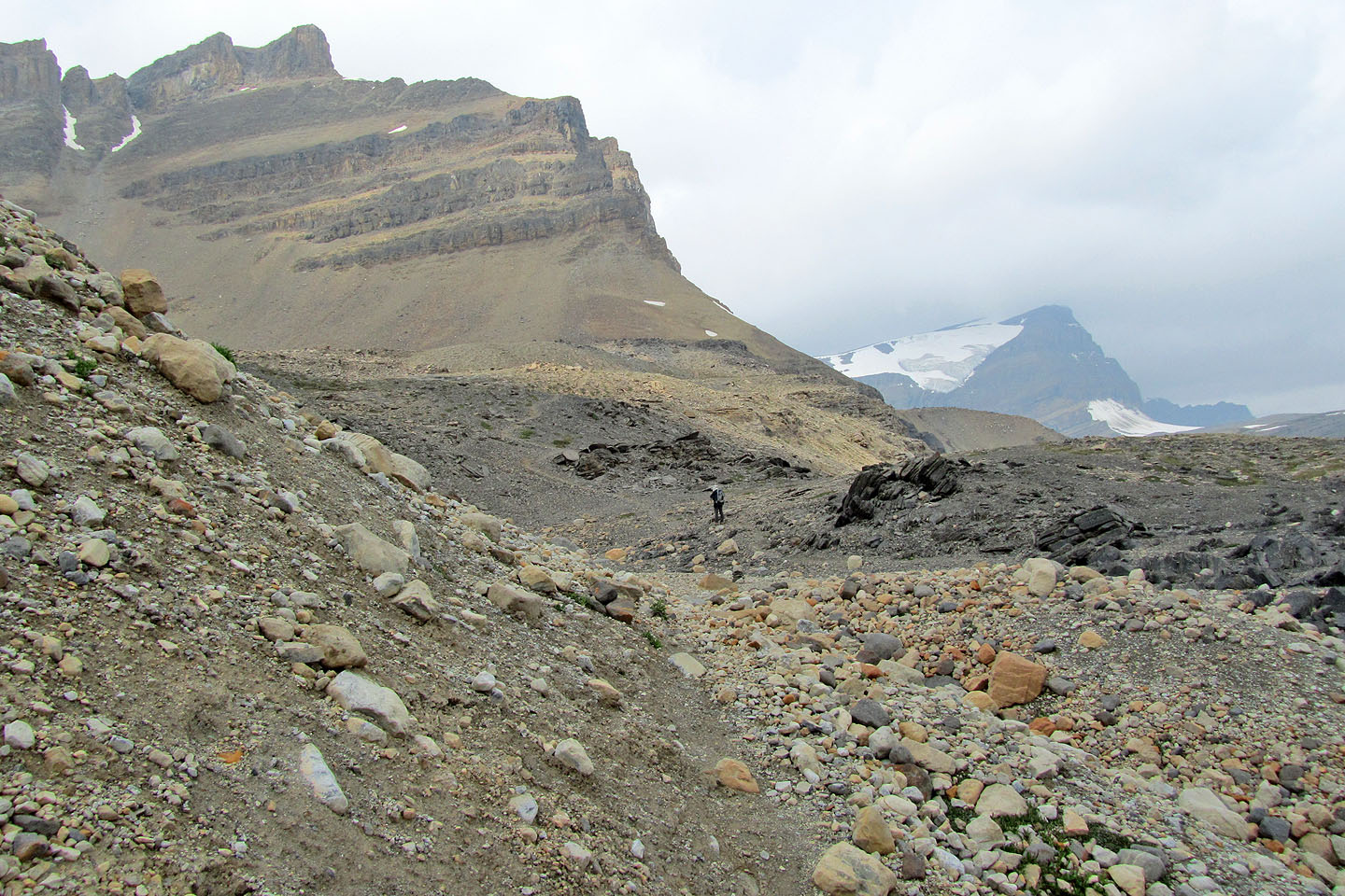
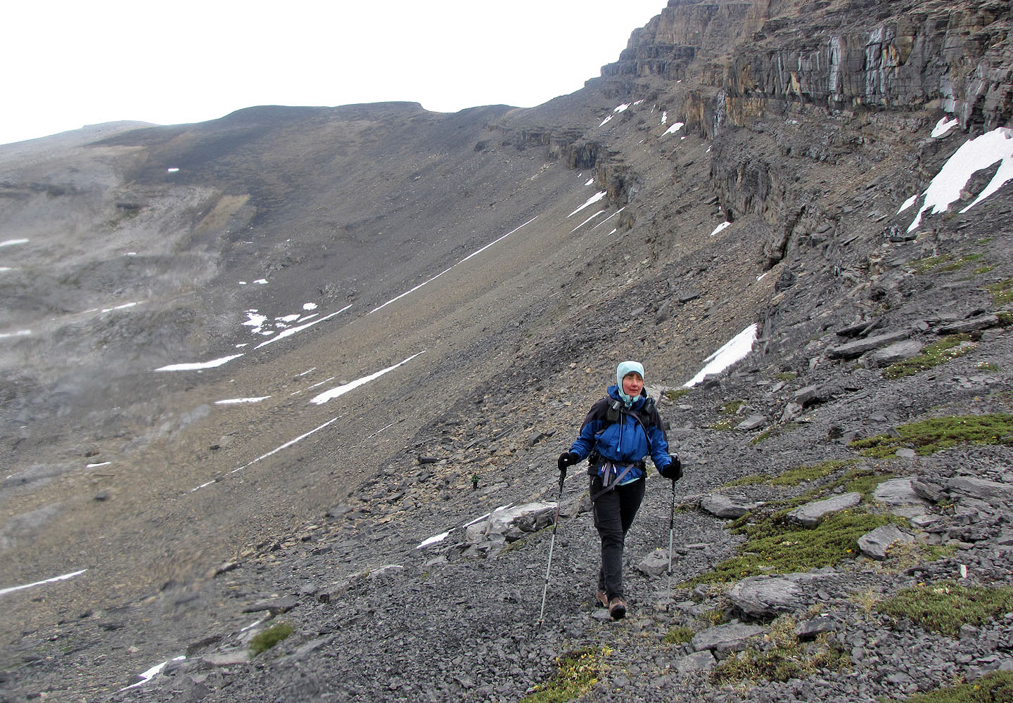
We headed to the low point left on the skyline
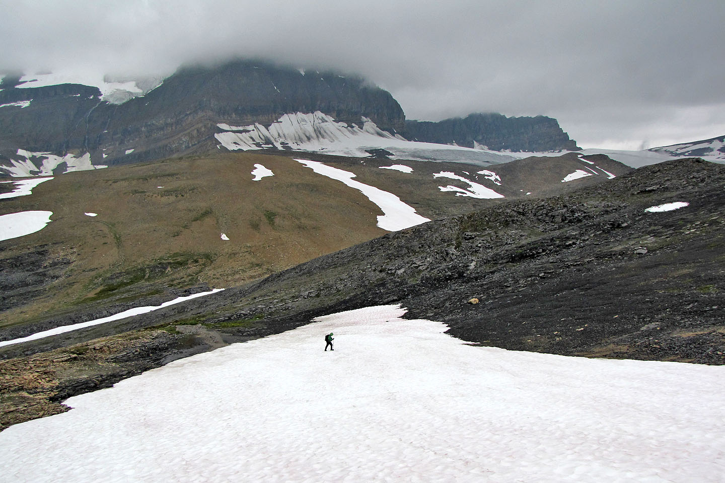
Sonny crosses a snow patch
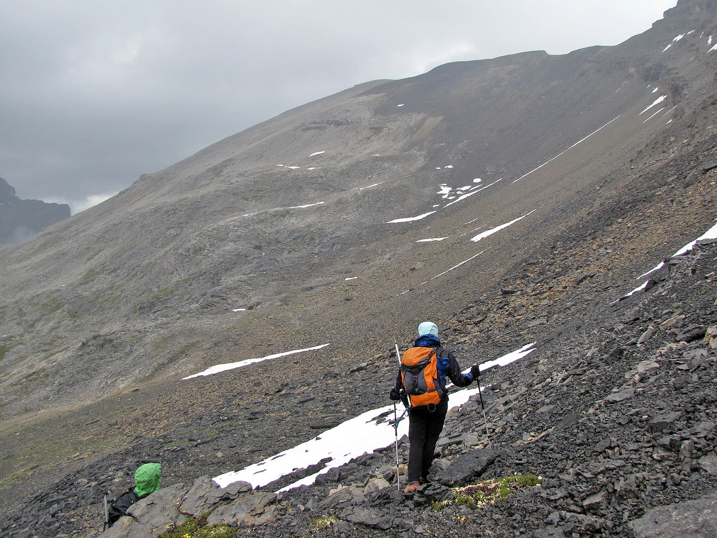
We studied the route to the summit (centre) above the bowl we had to cross
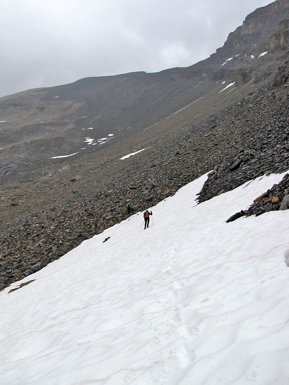
It was easier to travel on the snow than on the rubble
Sonny worked his way left of Dinah and me
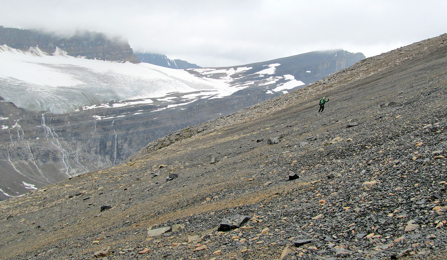
I headed directly to the ridge until we heard thunder. Then I began traversing left to keep low.
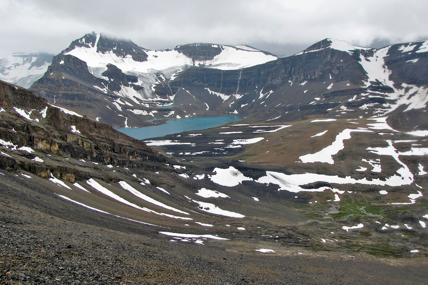
Looking back at Caldron Lake
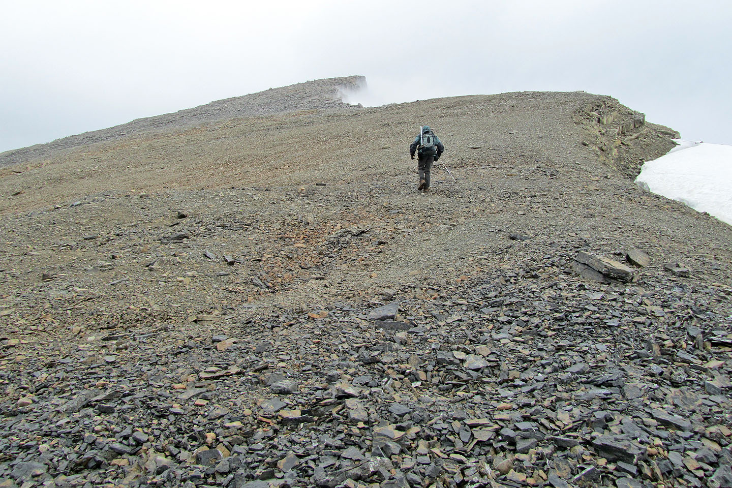
On the ridge heading to the summit
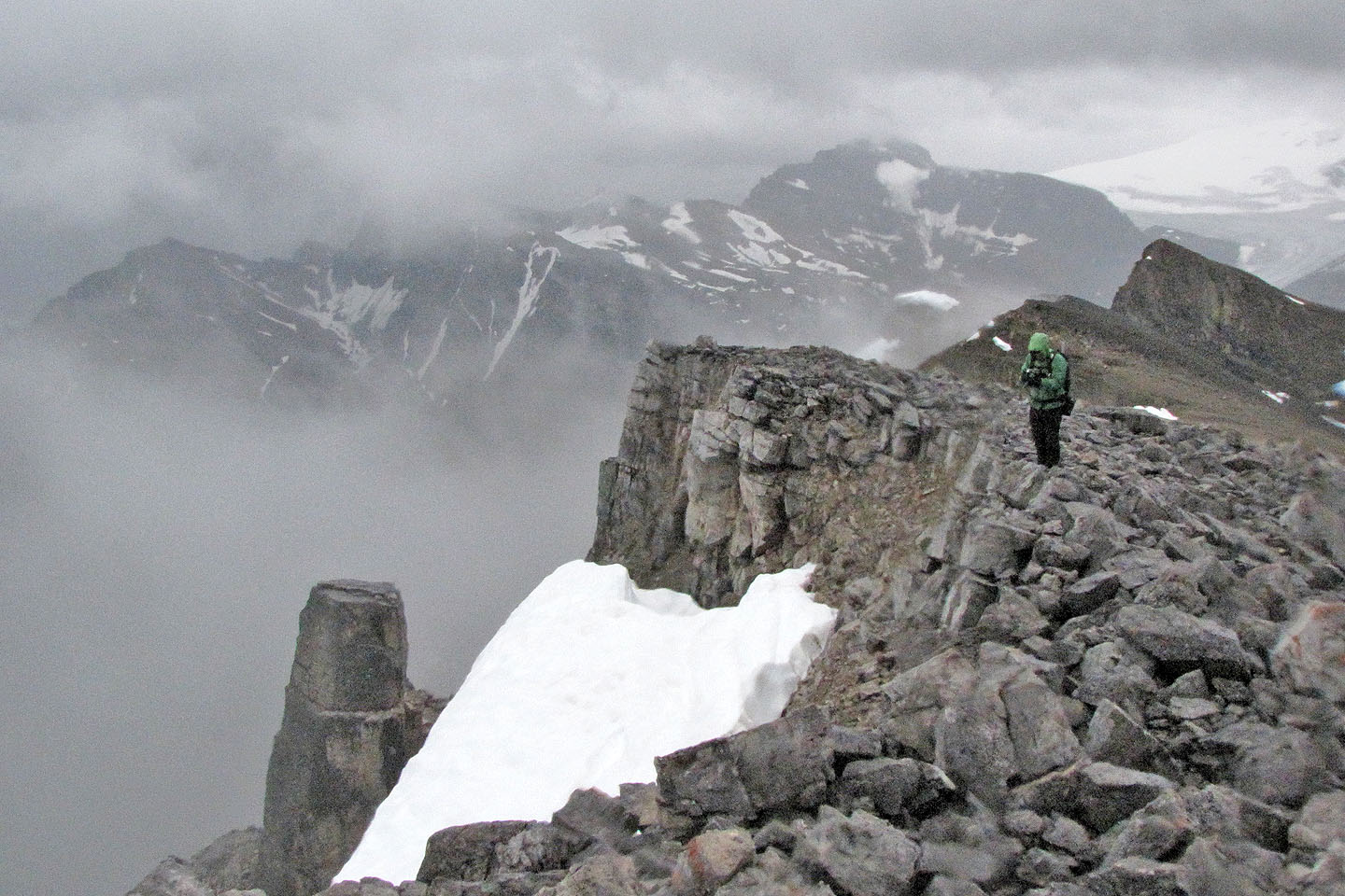
Sonny on the summit
Peyto Lake
Looking back after crossing the bowl
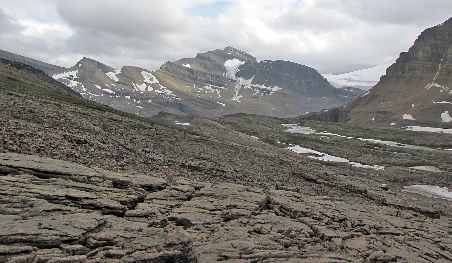
Mount Thompson
Mistaya Mountain
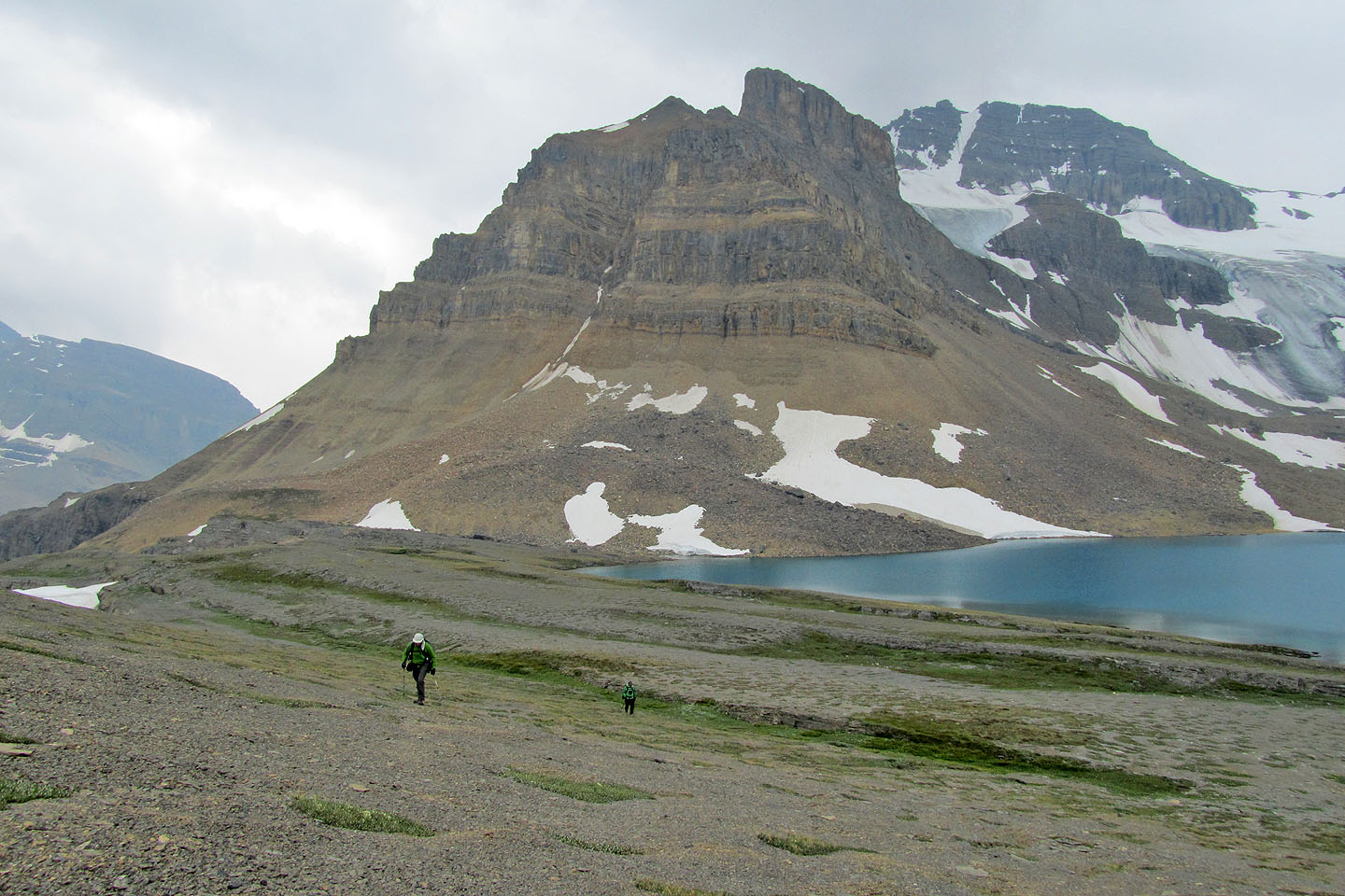
Heading back to Caldron Lake
82 N/10 Blaeberry River