bobspirko.ca | Home | Canada Trips | US Trips | Hiking | Snowshoeing | MAP | About
North Storelk Cirque
Kananaskis, Alberta
October 5, 2024
Distance: 7.5 km (4.7 mi)
Cumulative Elevation Gain: 295 m (968 ft)
North Storelk Cirque offers a chance to see larches in autumn without the crowds. We used the route described in Kananaskis Country Trail Guide. We had trouble routefinding, but we reached the cirque where the four of us – Zora, Tomiji, Mikako and I – were rewarded with fine scenery. The larches were past their prime, appearing dull orange instead of bright yellow, but we still enjoyed seeing them.
The trip began on Storelk Mountain trail. Our encountered our first problem after hiking a few hundred metres. At a creek crossing, a mudslide had swept away the trail on the opposite bank. We encountered it last year going to Storelk East Ridge, but I was hoping there was a new trail. There wasn't and the bank was too steep to ascend. We bushwhacked a hundred metres downstream where there is a trail on the other side. We crossed the creek, took the trail and were back on track.
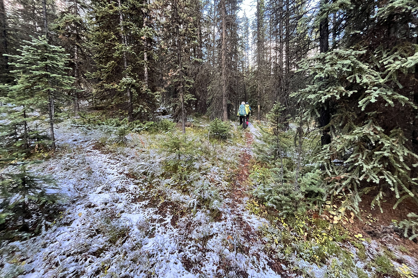
A few hundred metres later, we left the Storelk Mountain trail and caught a trail heading northwest. I should explain there are two northwest trails. Running parallel, they are only a few dozen metres apart. We went up the lower trail but returned on the upper trail. (The upper trail isn't mentioned in the guidebook, but we used it to reach Storelk East Ridge.) According to the guidebook, we were to follow the lower trail to a trail going west but we didn't find it. It was not surprising as paths were vague and hard to discern under a layer of snow. So we began bushwhacking.
Eventually, we found the trail. When we reached a fork next to a deep gully, we kept right. We crossed a creek with small waterfalls and continued to the cirque. We followed the path but eventually lost it because of the snow cover. We bushwhacked 700 m before finding a trail at the edge of the cirque. At the far end of the cirque, a larch-covered ridge caught our eye. Above it, rose a huge mound of rocks. Over 100 metres long and 20 metres high, I assumed it was a moraine.
We crossed the cirque and hiked up the ridge to the base of the imposing moraine. It was too steep to climb directly, but after exploring, we found a way up at the west end. The rocks were extremely loose and slippery with snow, but we reached the top for a terrific view of the cirque and snow-covered peaks.
Since it was cold and windy on the moraine, we didn't linger. We followed our tracks in the snow back to the west trail. It merged with the upper trail, and we didn't see a trail going to the lower trail. We continued down the upper trail but eventually left it, bushwhacked 50 m to the lower trail and made our way back to our cars.
When I checked my tracks at home, I realized the upper trail must connect to Storelk Mountain trail; we had stopped 80 m short of where we left it when we did Storelk East Ridge. Since we didn't find the west trail from the lower trail, perhaps the upper trail is easier to follow to the cirque. But in a pinch, one could switch trails; at two places, they appear only 20 m apart! I included both trails in my track files.
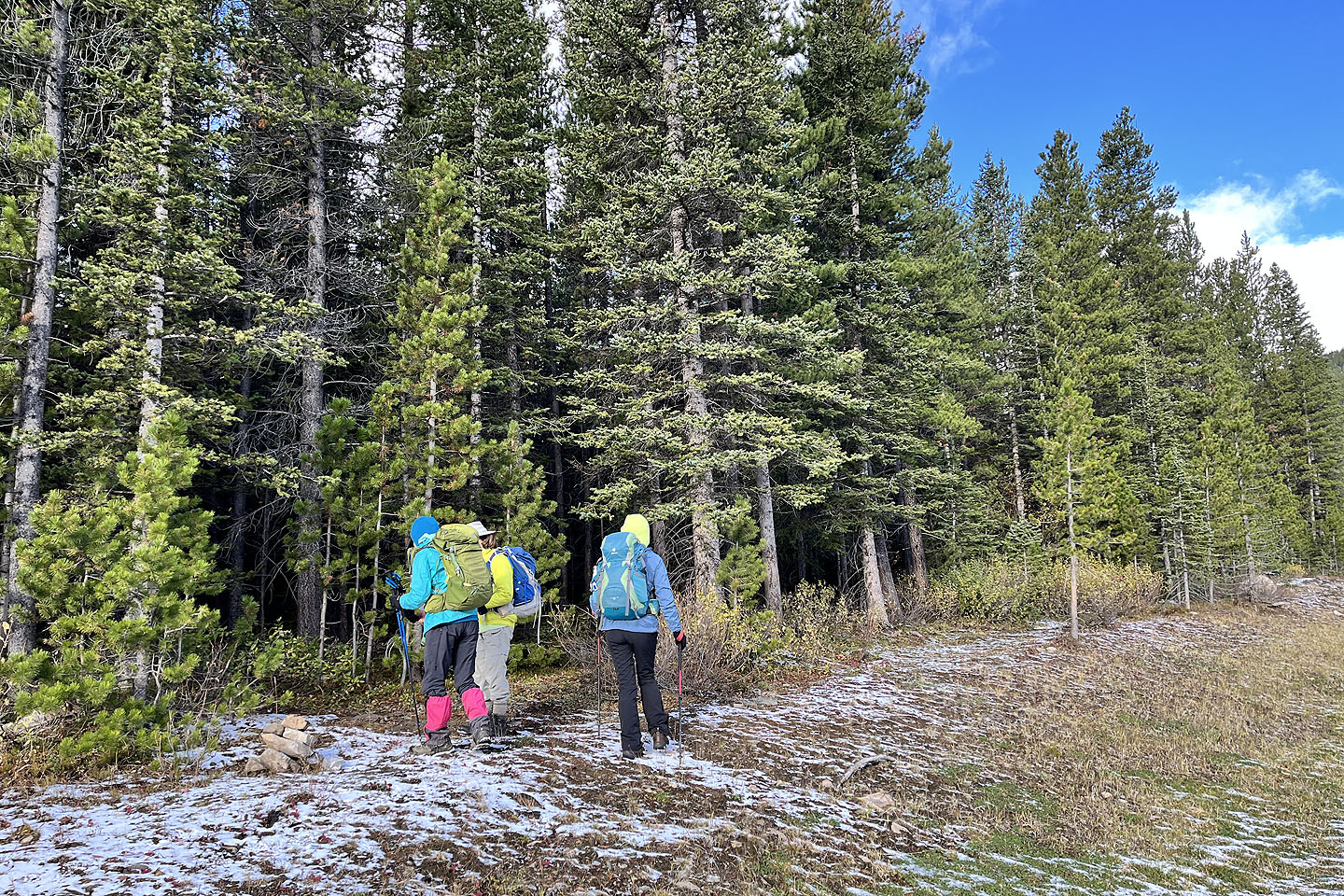 A small cairn marks the trailhead
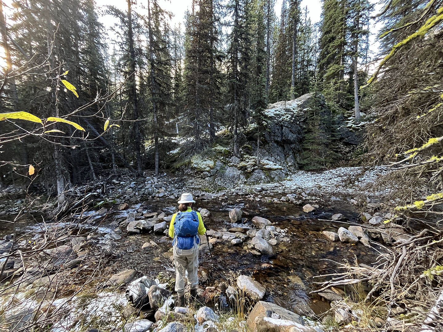 We bushwhacked to this spot where there's a trail on the opposite bank
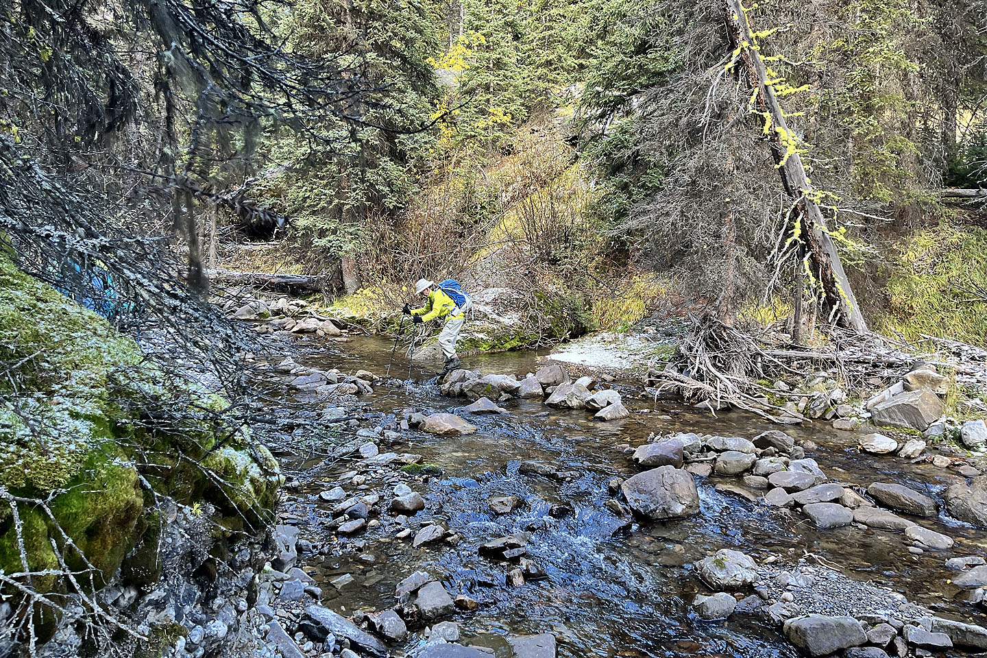 Zora rock-hops across the creek
 The trail continues left to Storelk Mountain but we turned right to get on the lower trail
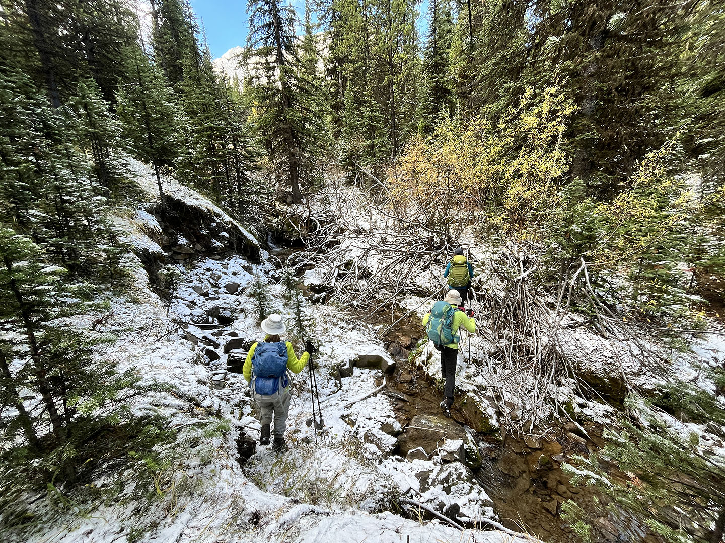 The trail crosses a creek
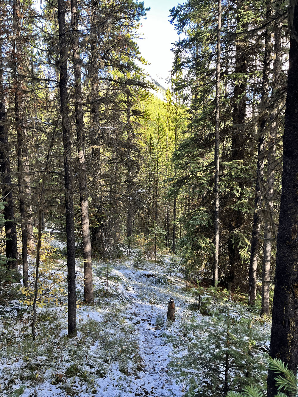
The trail was hard to follow because of snow
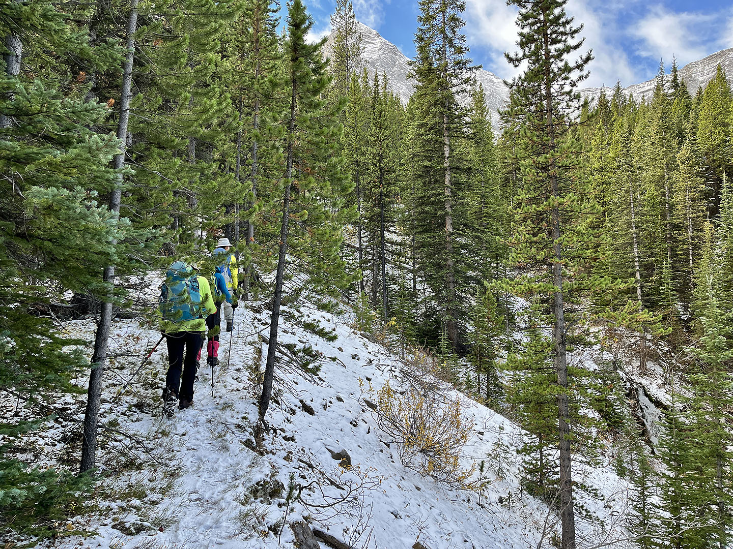 Back on the trail after bushwhacking from the lower trail
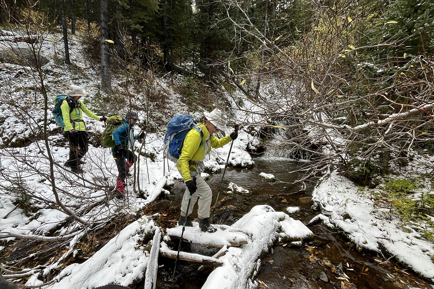 Crossing another creek
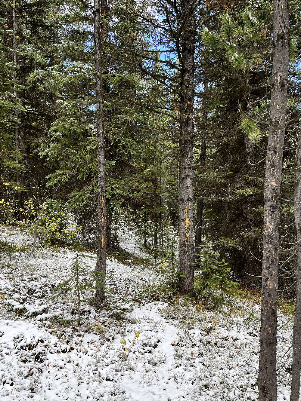
The trail became increasingly difficult to follow and eventually we lost it
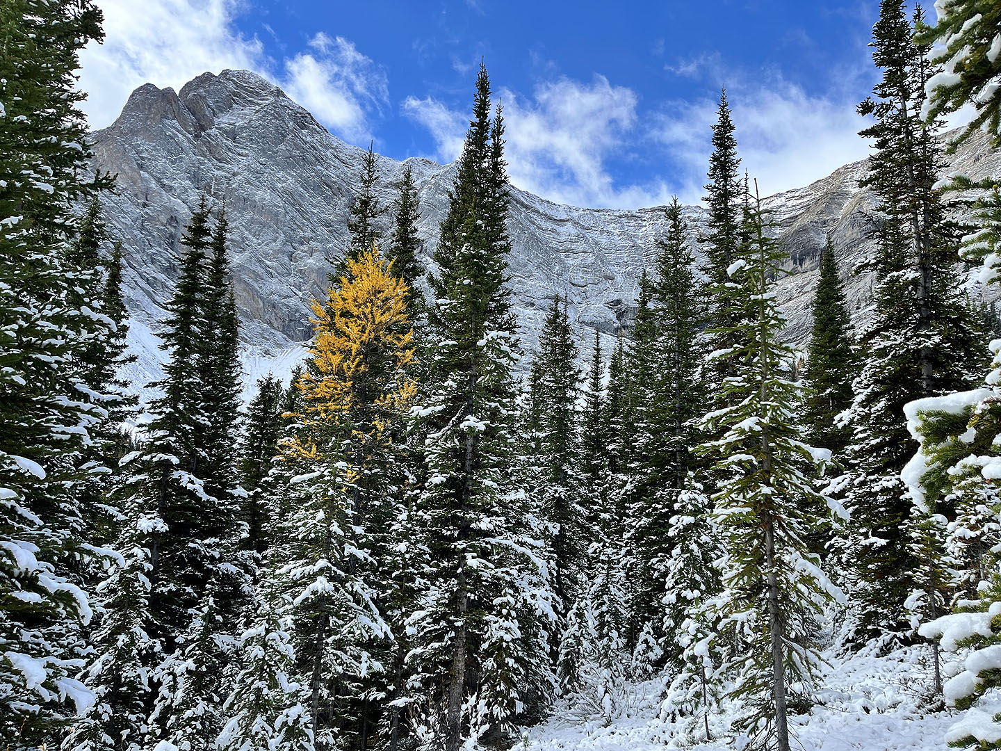 As we drew near the cirque, we began seeing larches
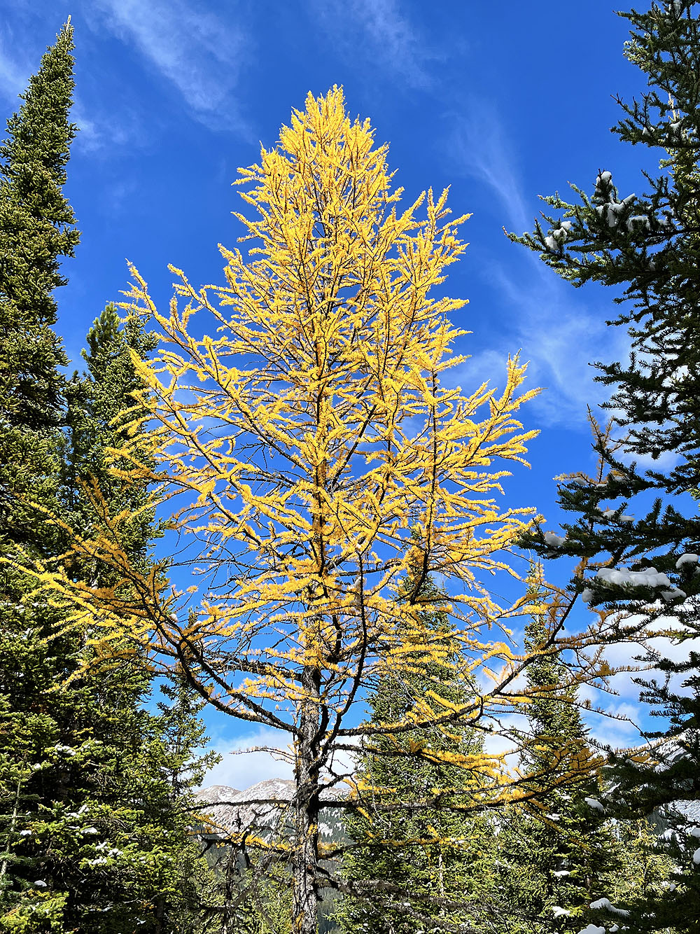
Most larches had lost their luster, but this one still glowed
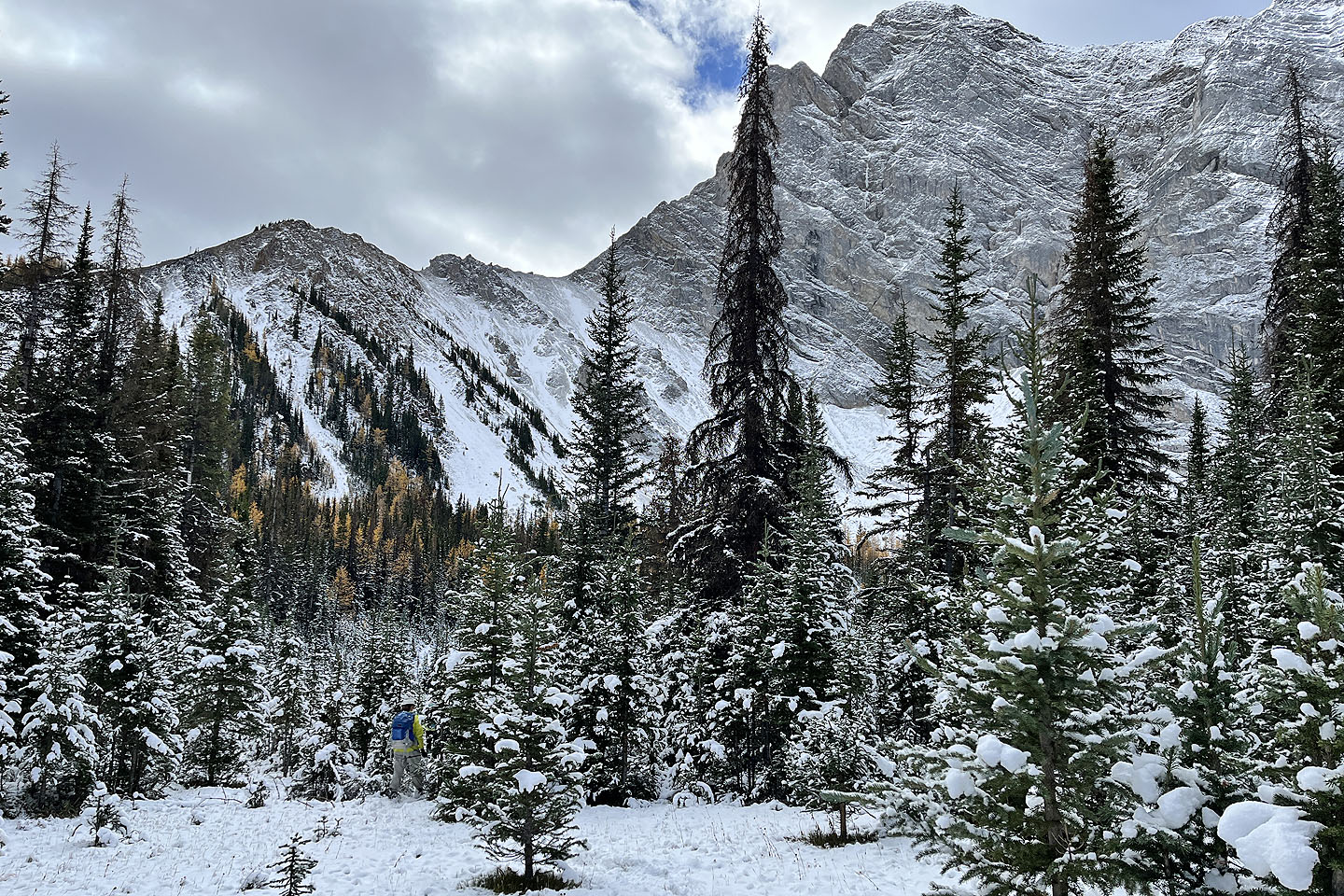 Storelk East Ridge and Storelk Mountain came into view
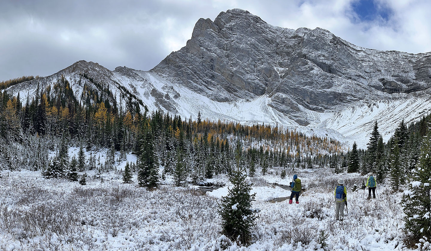 After reaching the cirque, we headed to the mound of rocks above the larches in the centre
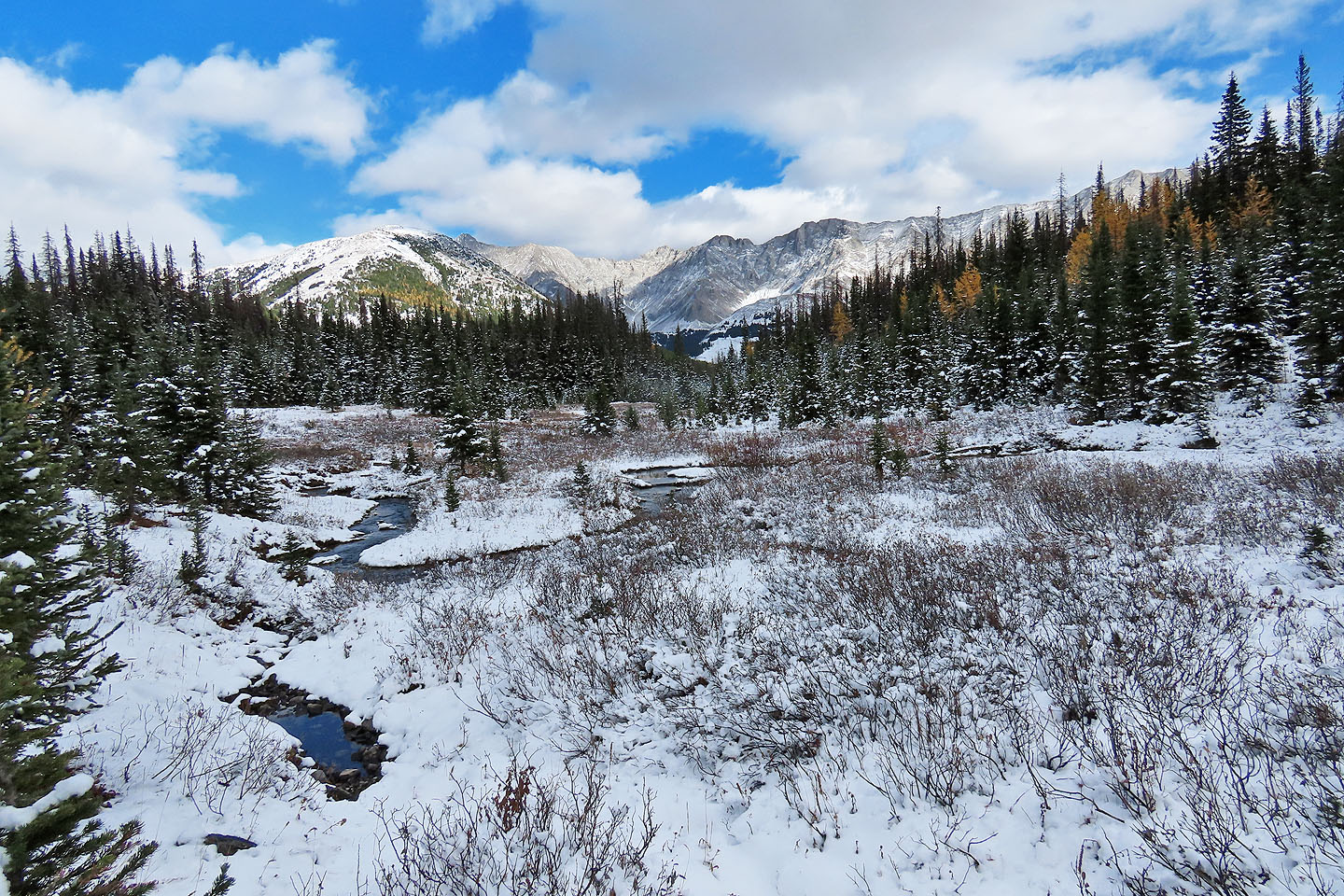 Looking back after crossing the cirque
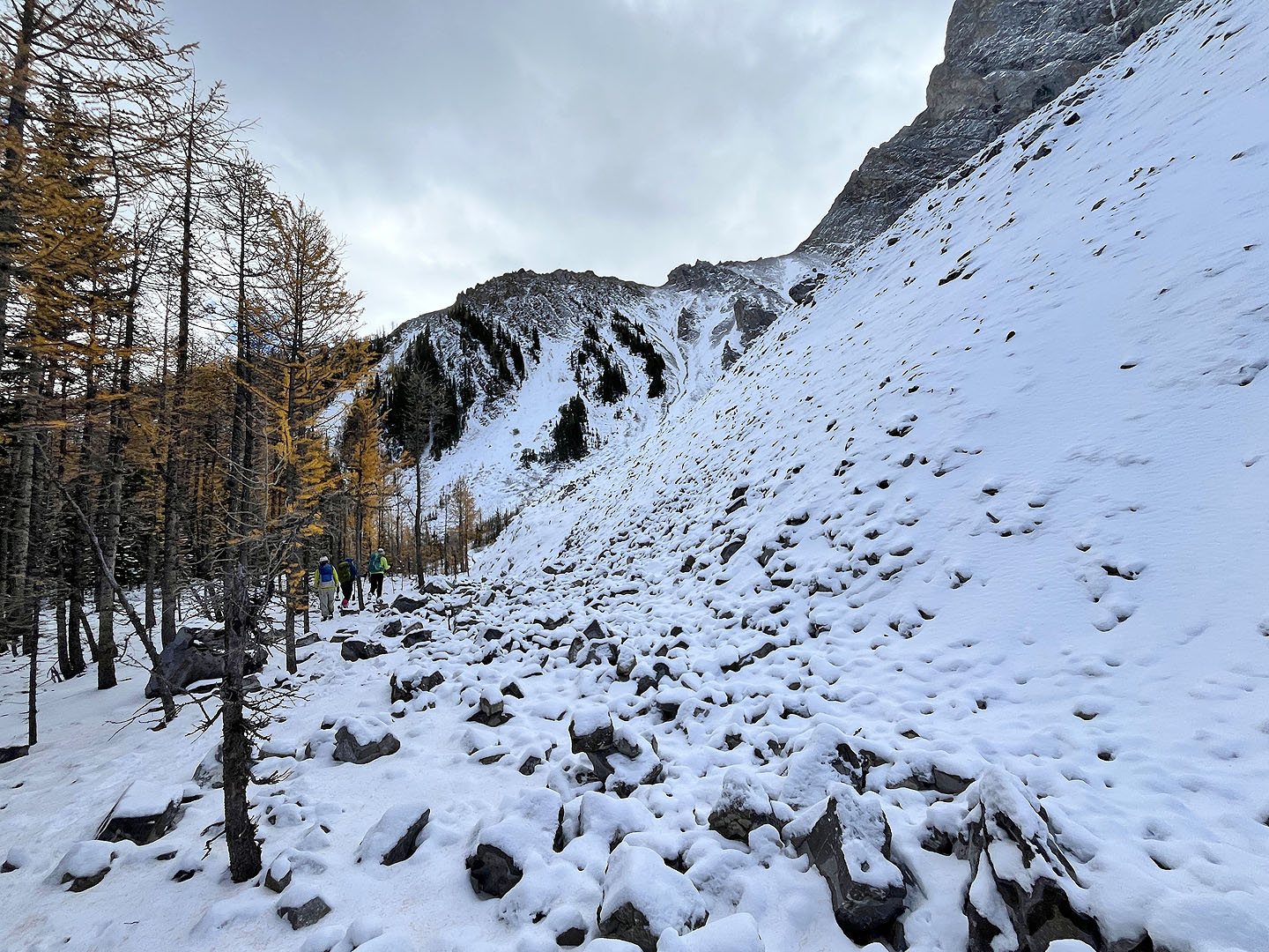 Searching for a place to climb the moraine
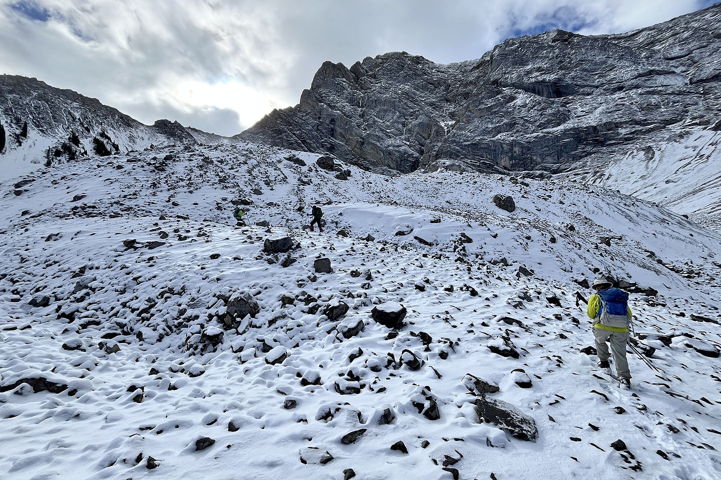 We found a way up on the west end
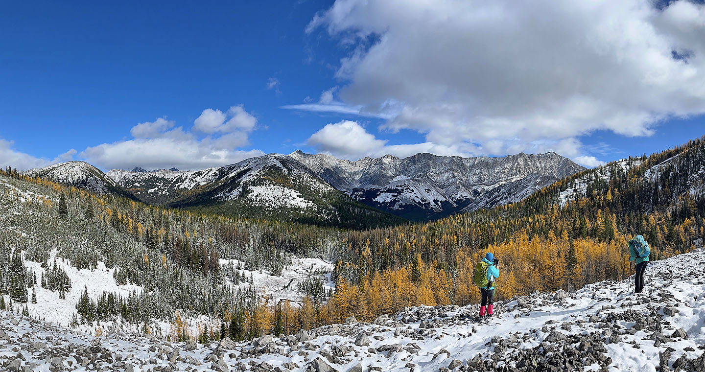 Taking photos from the top of the moraine
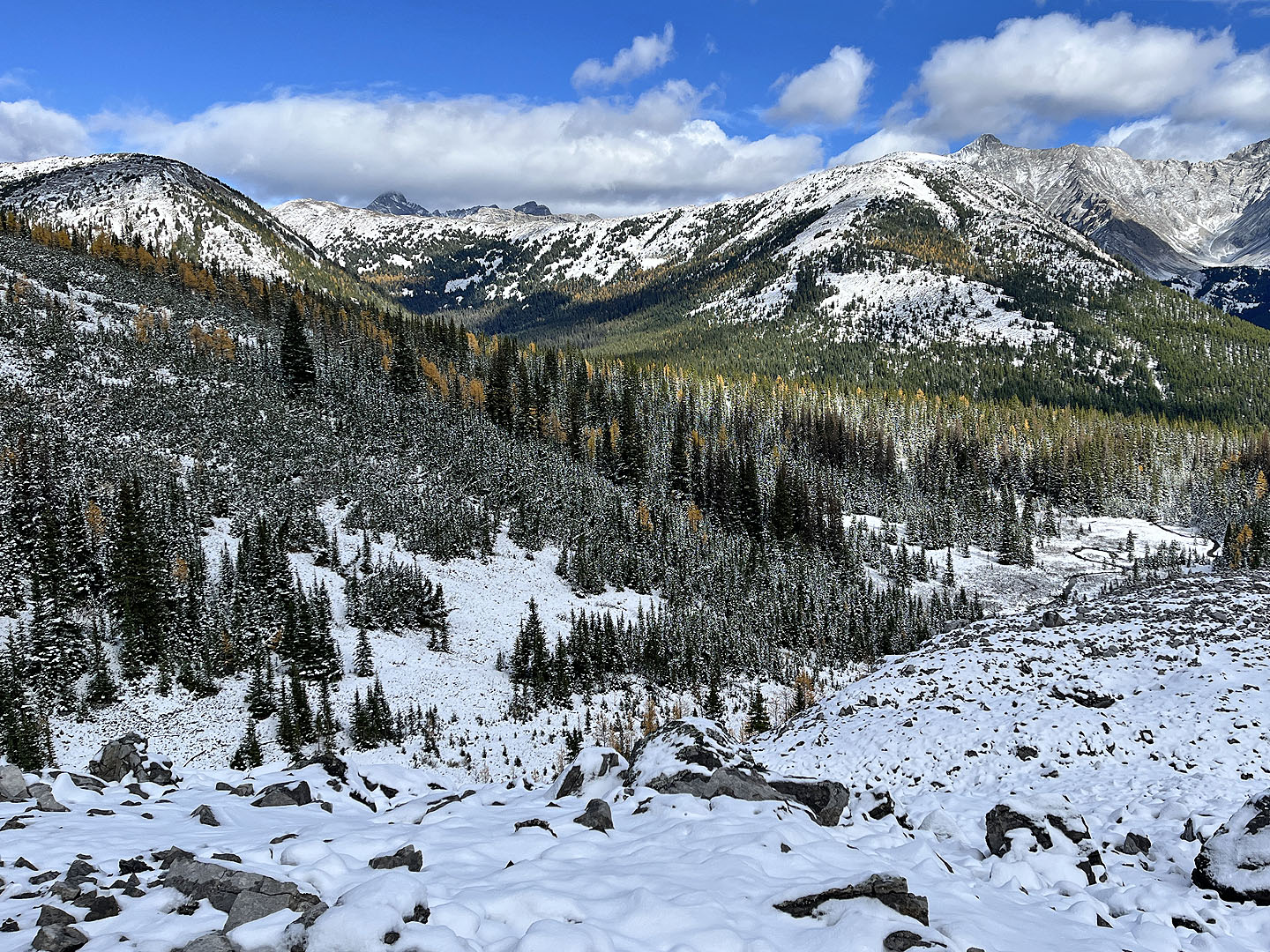 Left is the south end of Grizzly Ridge. Right, in the foreground, is the South Peak of Highwood Ridge.
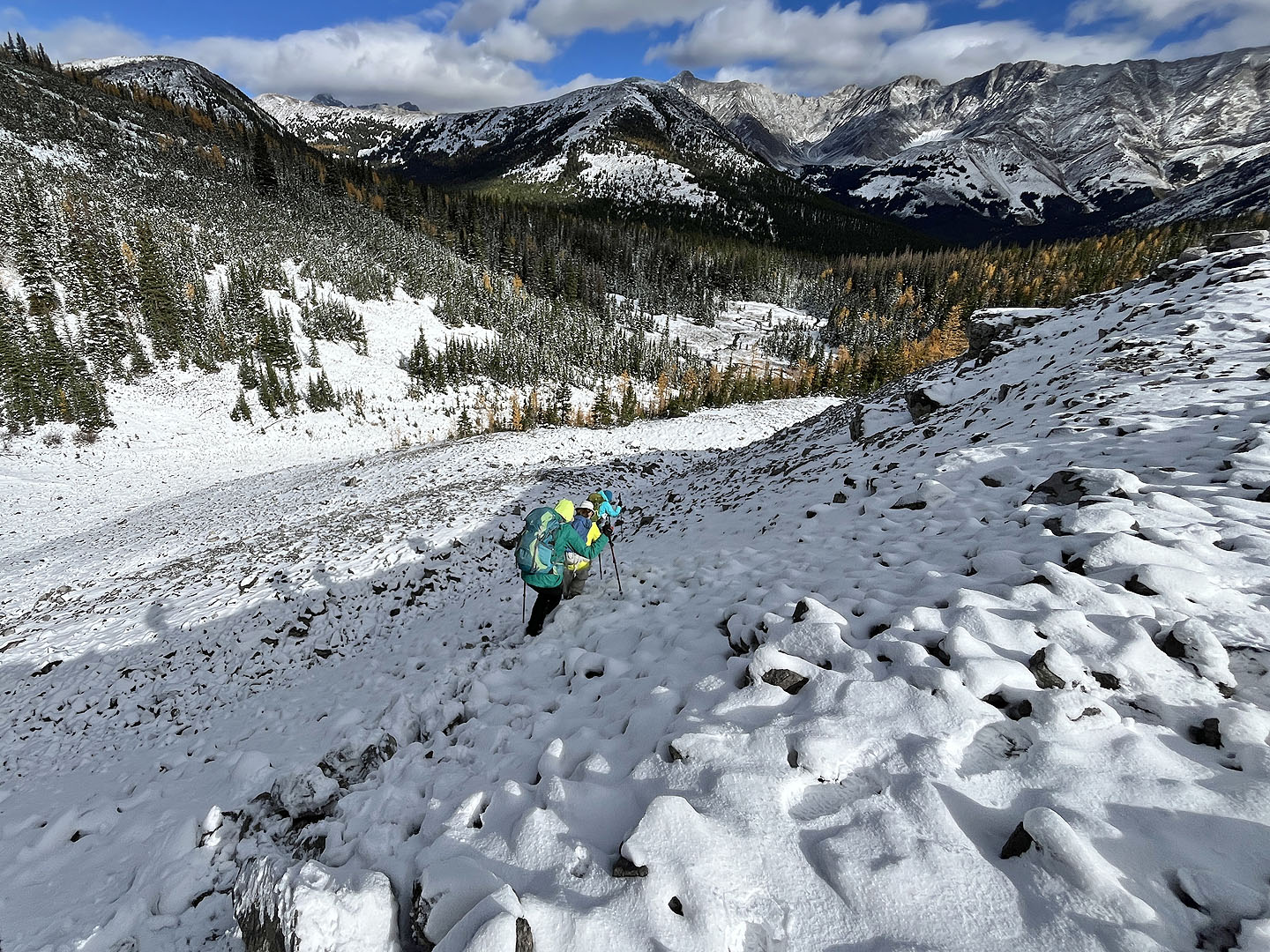 Heading back down
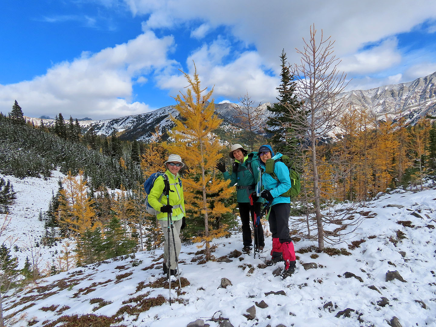 Zora, Tomiji and Mikako pose by a larch
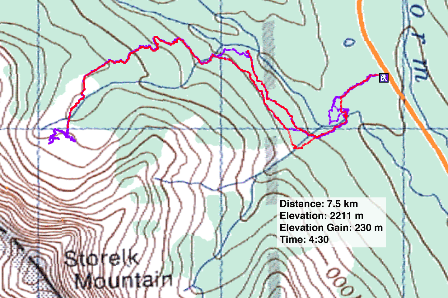
82 J/10 Mount Rae (purple is our route, red is a downloadable track)
