bobspirko.ca | Home | Canada Trips | US Trips | Hiking | Snowshoeing | MAP | About
Whirlpool Ridge
(south ridge)
David Thompson Highway, Alberta
July 19, 2008
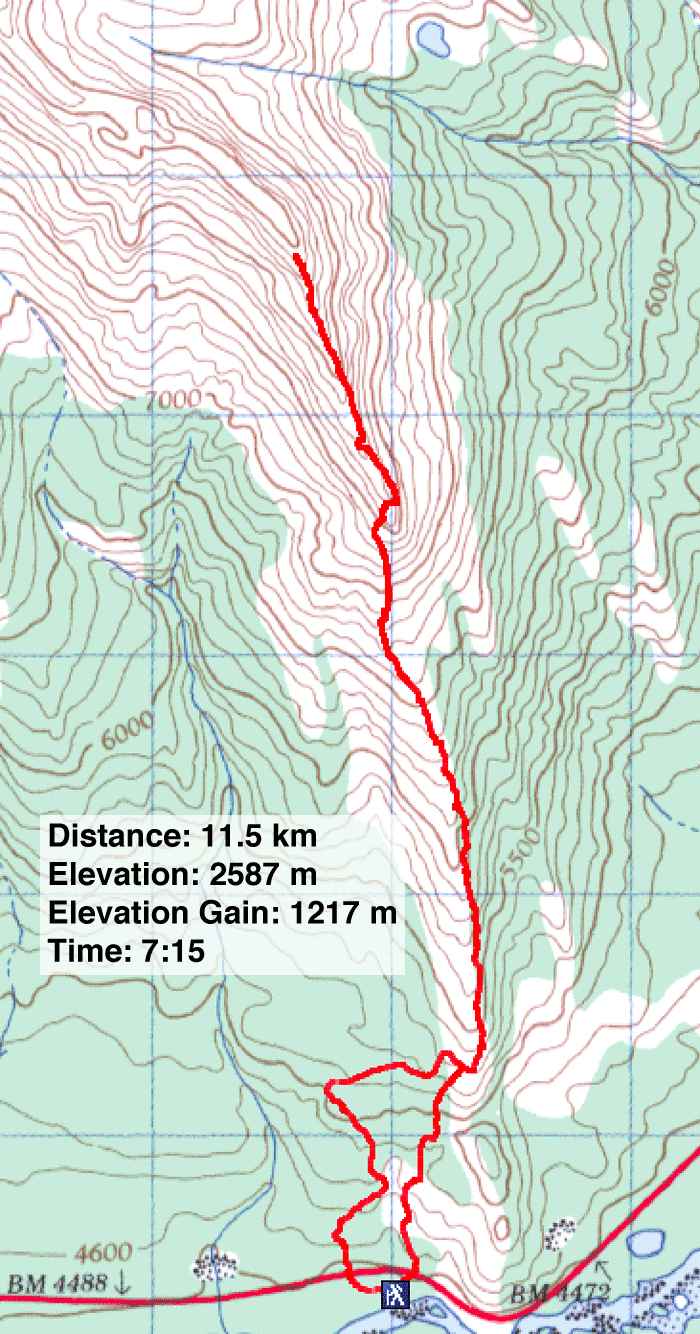
Distance: 11.5 km (7.1 mi)
Cumulative Elevation Gain: 1260 m (4134 ft)
Looking for new scenery, Dinah and I headed to the David Thompson Highway area. Whirlpool Ridge looked like an attractive trip: after gaining the crest the book, David Thompson Highway: A Hiking Guide, suggests scramblers can continue the "ridgewalk" to the north peak.
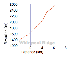
Information was sorely lacking, however. No waypoint was given for the high point that the hike reached, nor could I find a waypoint for the summit. The NTS map didn't show a name for this ridge or most other features in the area. Also the book indicates a maximum elevation of 2600 m for the hike, and this is clearly wrong (either that or the elevation gain is wrong). It looks to be around 2400 m.
We had a little trouble finding the trailhead. We parked at a pullout on the south side of HWY 11 where a sign read “Kootenay Plains Ecological Reserve.” From the west end of the pullout, we walked about 100 m west where we spied a small cairn. Behind it was a trail hidden in trees.
The trail quickly leads to a road. As per instructions, we followed the road to its end before setting off up the ridge where there were smatterings of a trail. After hiking along the semi-forested ridge, we reached the rocky base of the south end of the ridge. We ascended rock mixed with scree until rock slabs forced us left. We then scrambled up scree and slabs to gain the ridge.
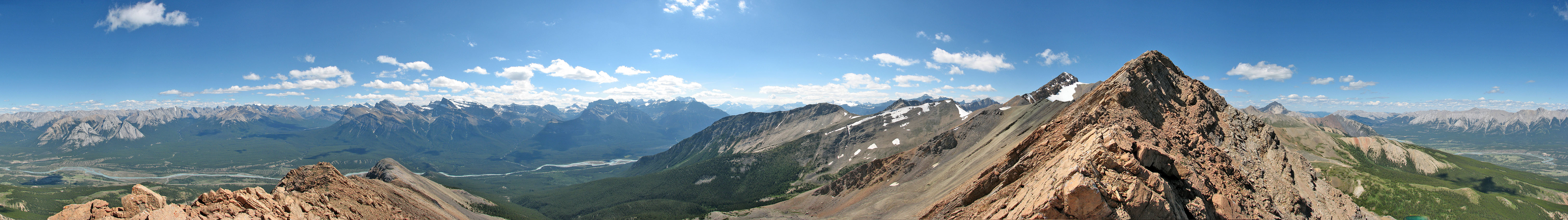
We hiked along the crest, but a few scrambling sections slowed us down and required care. This was not the ridgewalk that the book mentions! When we reached steep rock slabs before the centre peak, we decided to turn back. Going by the map, it appeared we were several hundred metres from the centre peak and over 2 km from the north peak.
We retraced our steps back to the road where we noticed a faint trail. It appeared to be heading directly to our car, so we decided to try it. The trail wasn't always easy to follow since it wasn't well-trodden, but we made it to our car in good time. It knocked off nearly a kilometre than if we had followed the road.
Although we didn't reach a summit and were frustrated by the poor information in the book, we enjoyed our outing. We especially appreciated the scenery, which as all new to us.
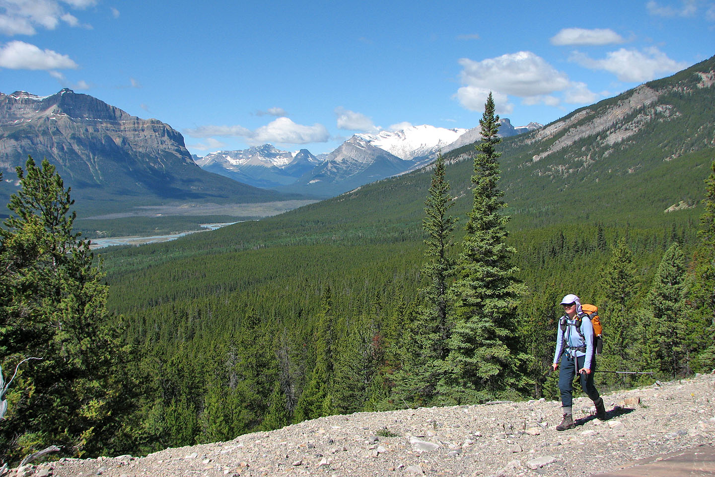
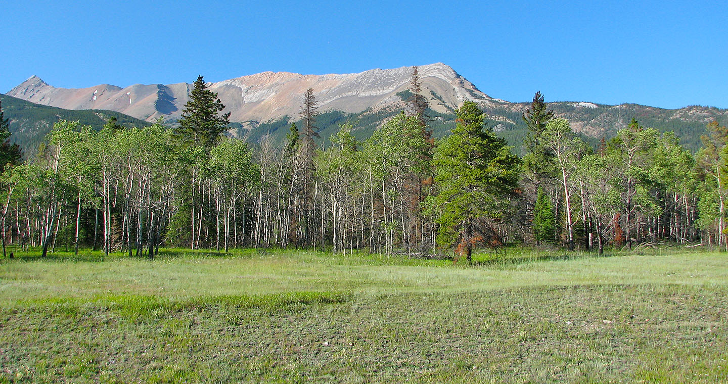
Hiking up the road, Mount Wilson in the background (mouse over for a close-up)
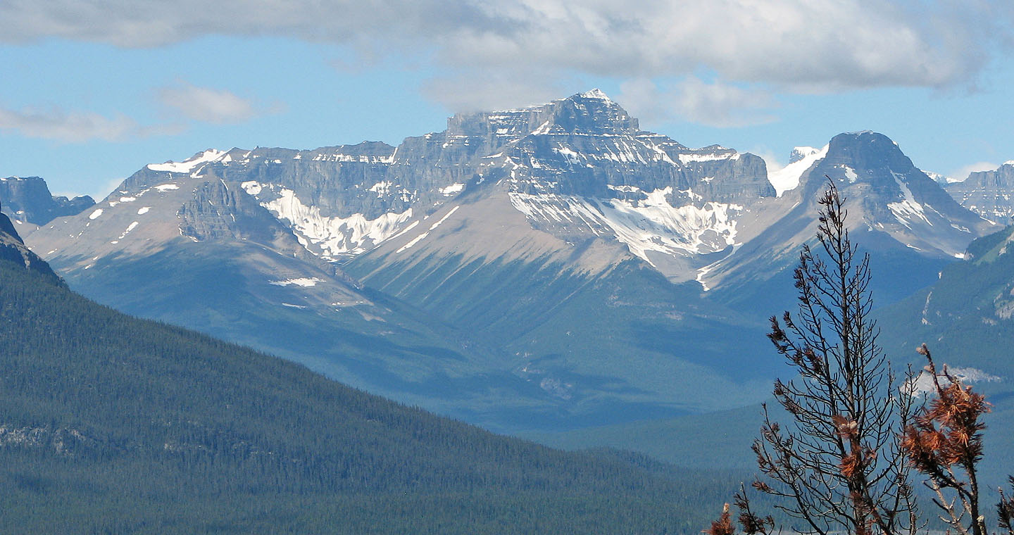
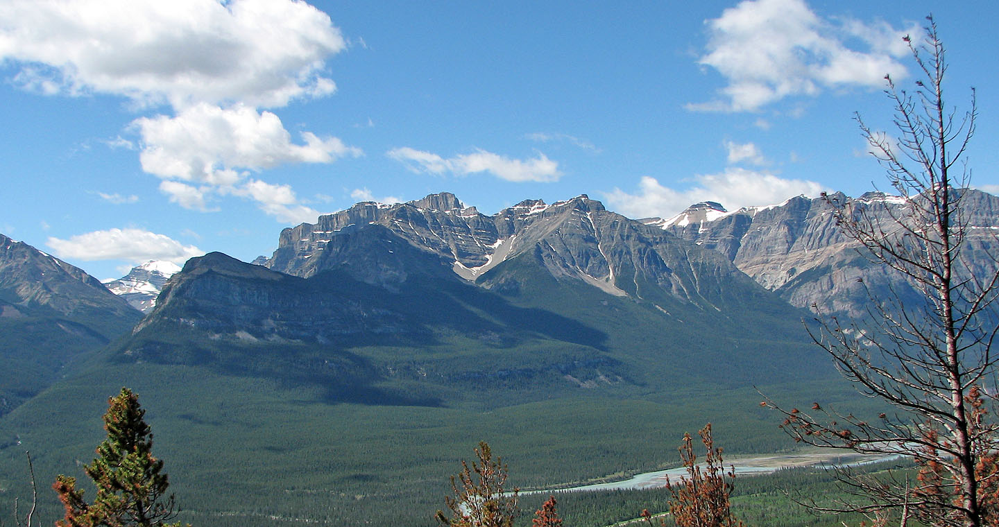
Mount Erasmus
Mount Peskett in the background
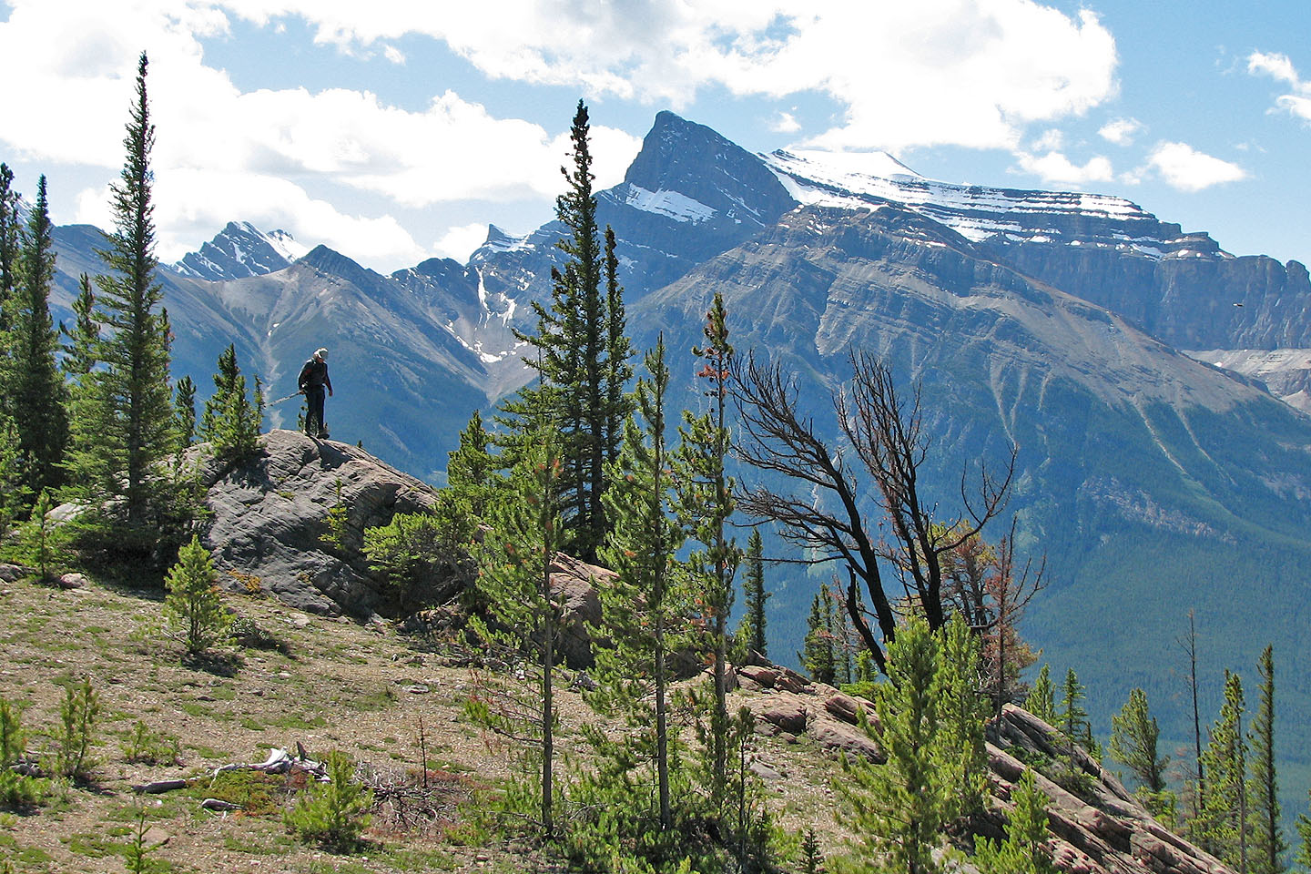
We got a glimpse of Whirlpool Ridge
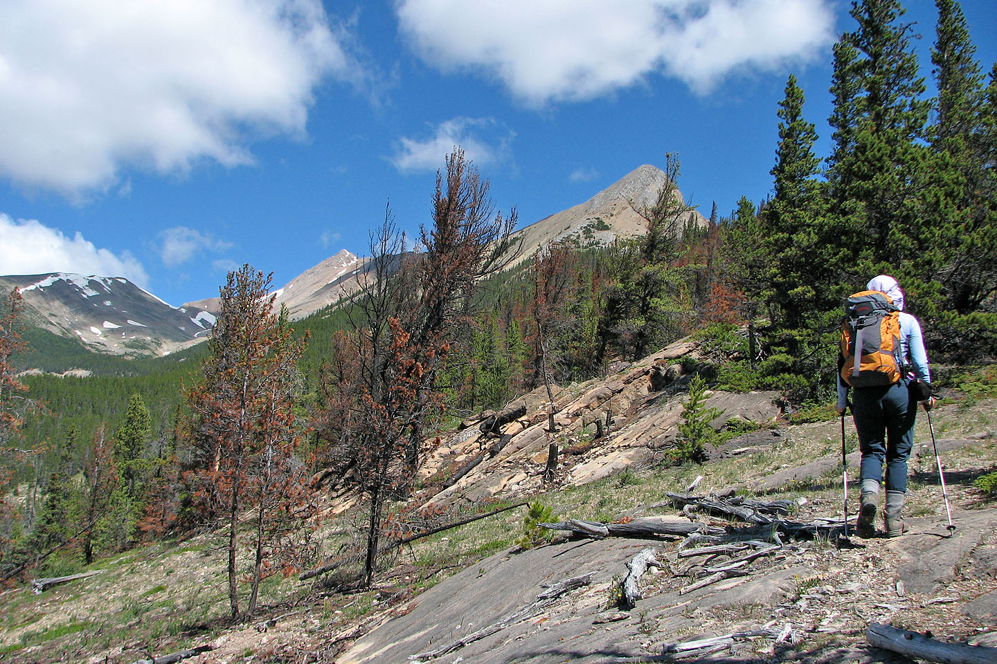
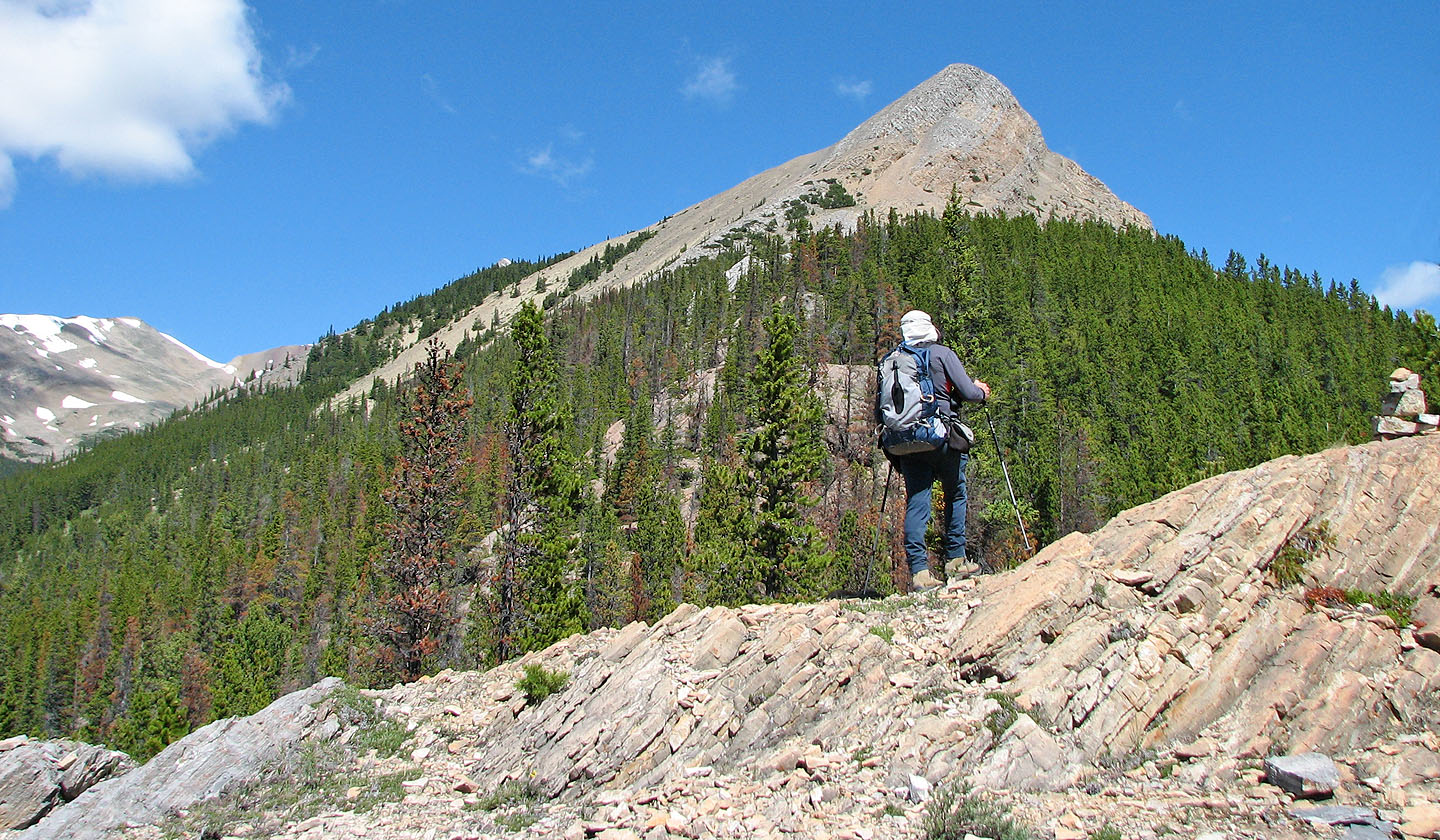
Unnamed peak
It takes time just to reach the base of the mountain
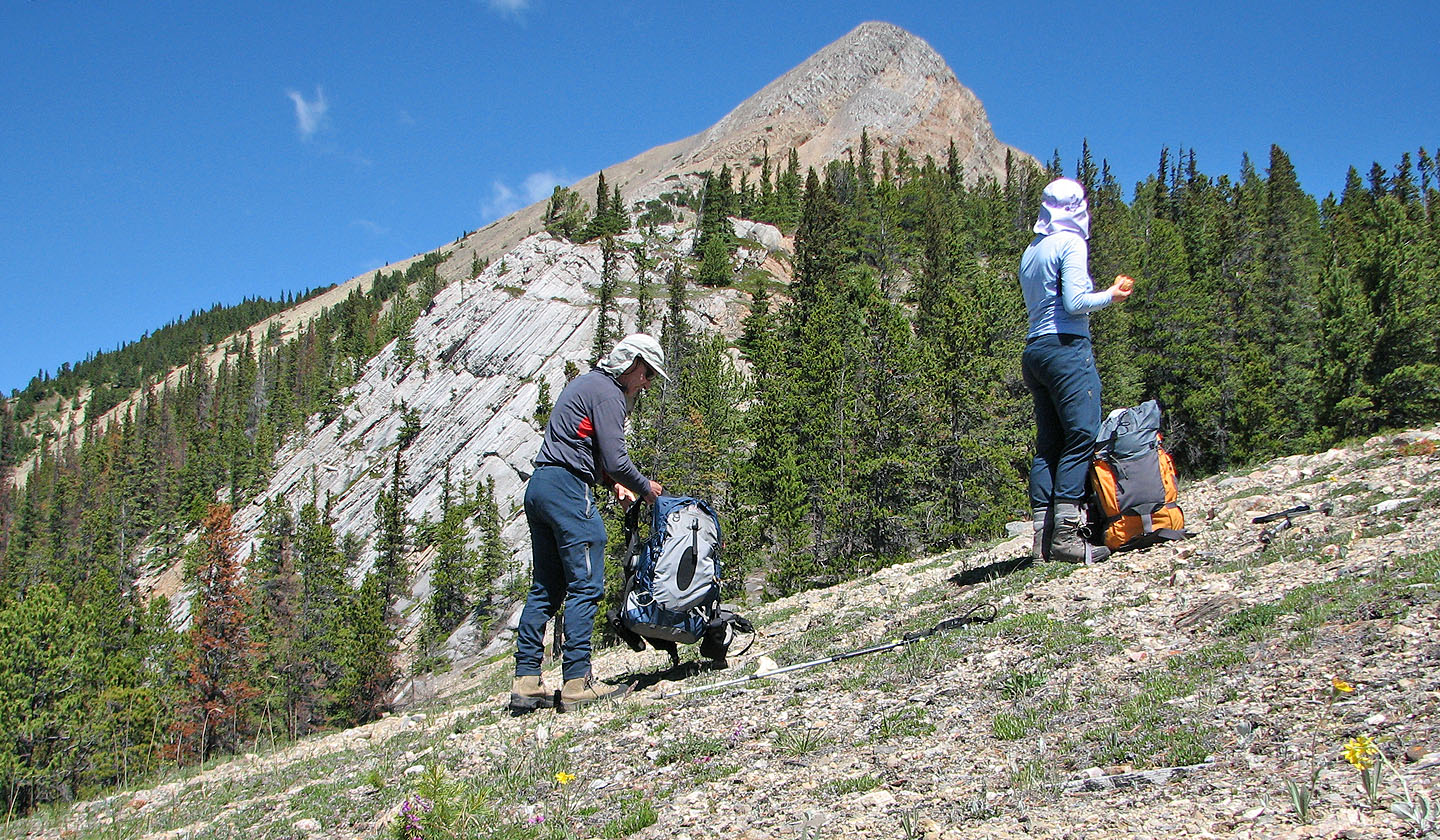
Taking a break
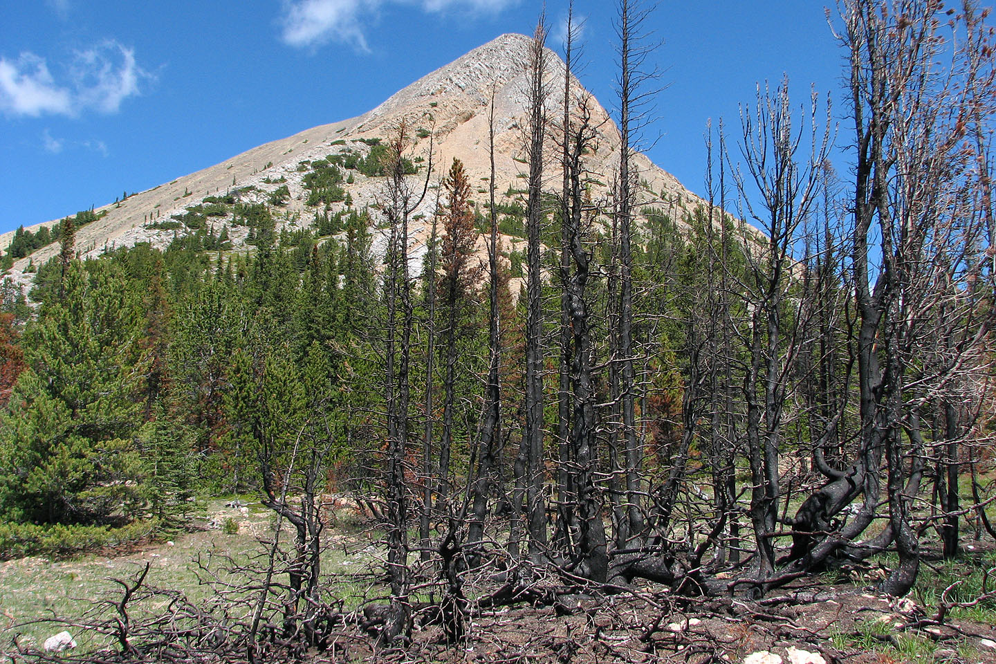
There were several small, localized burn areas like this one
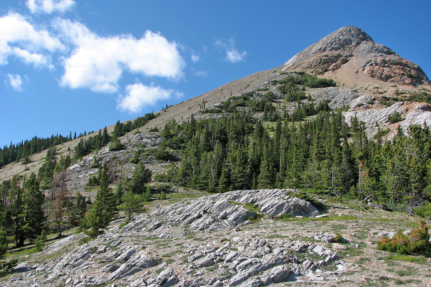
A close look at the south end of the ridge
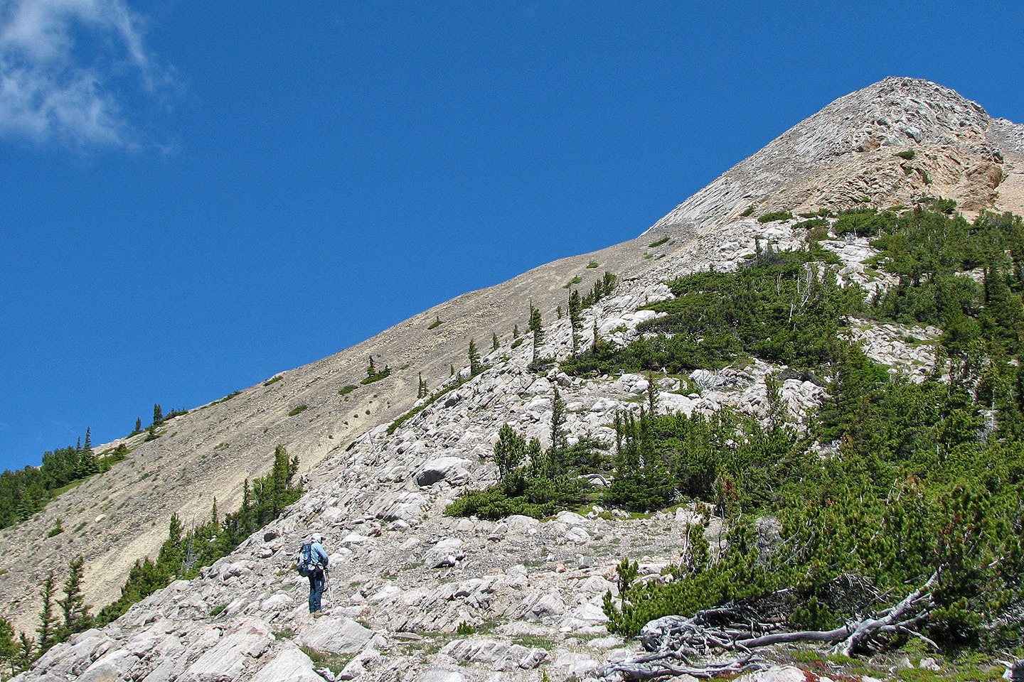
Starting up the south end
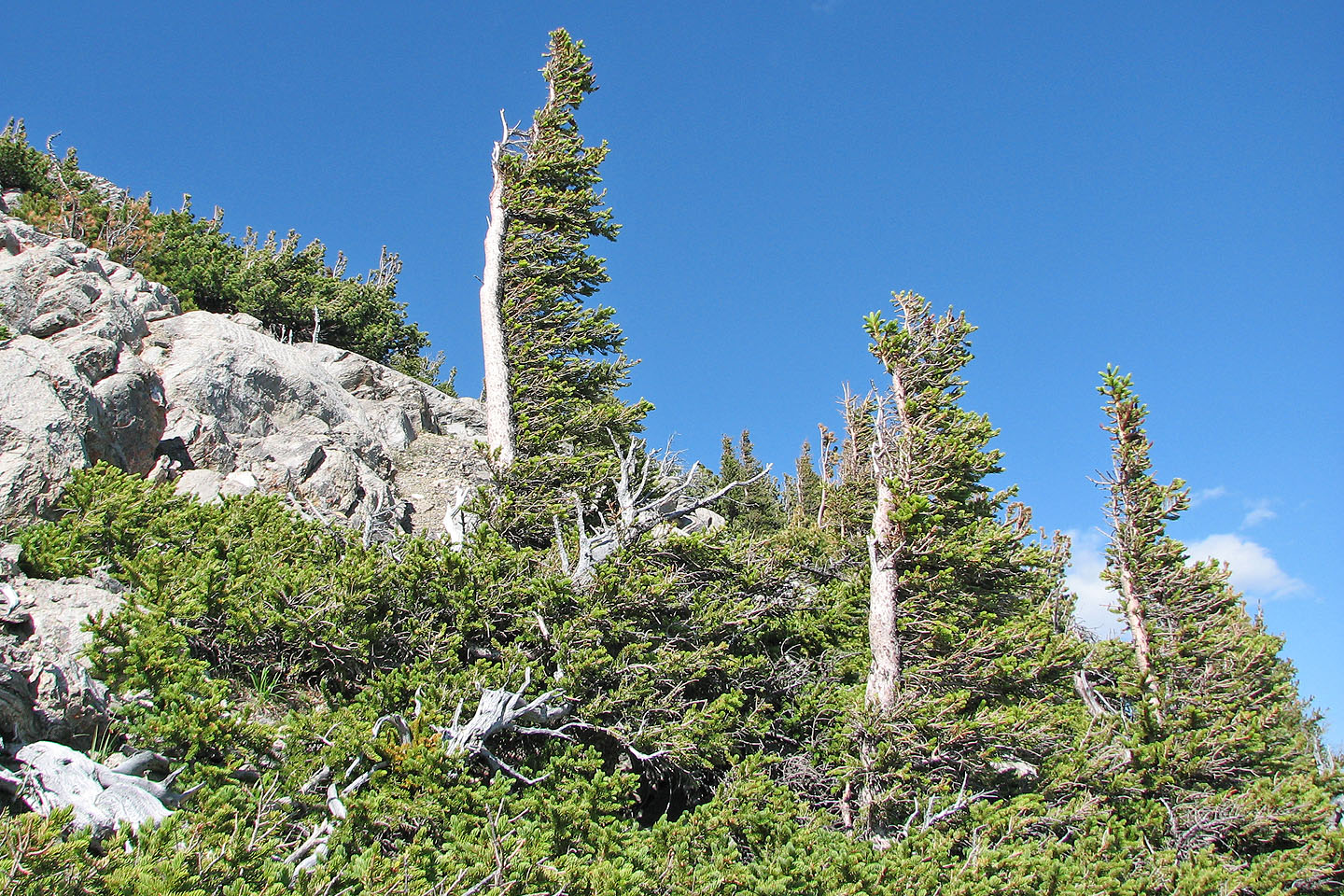
Strong winds have deformed the trees
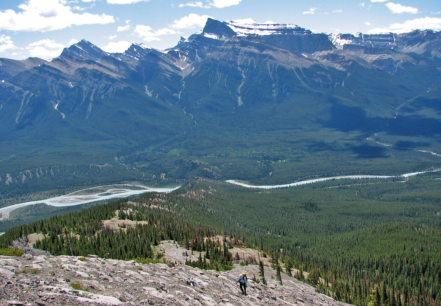
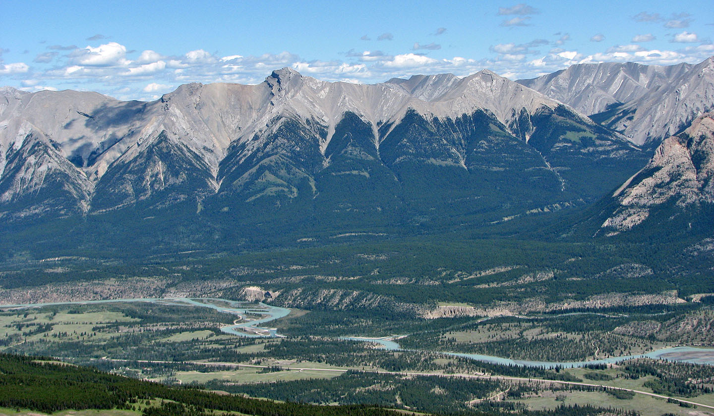
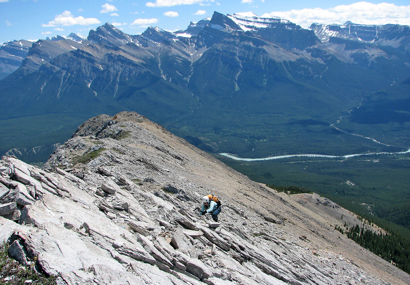
Behind us lies North Saskatchewan River
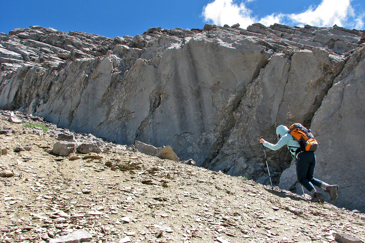
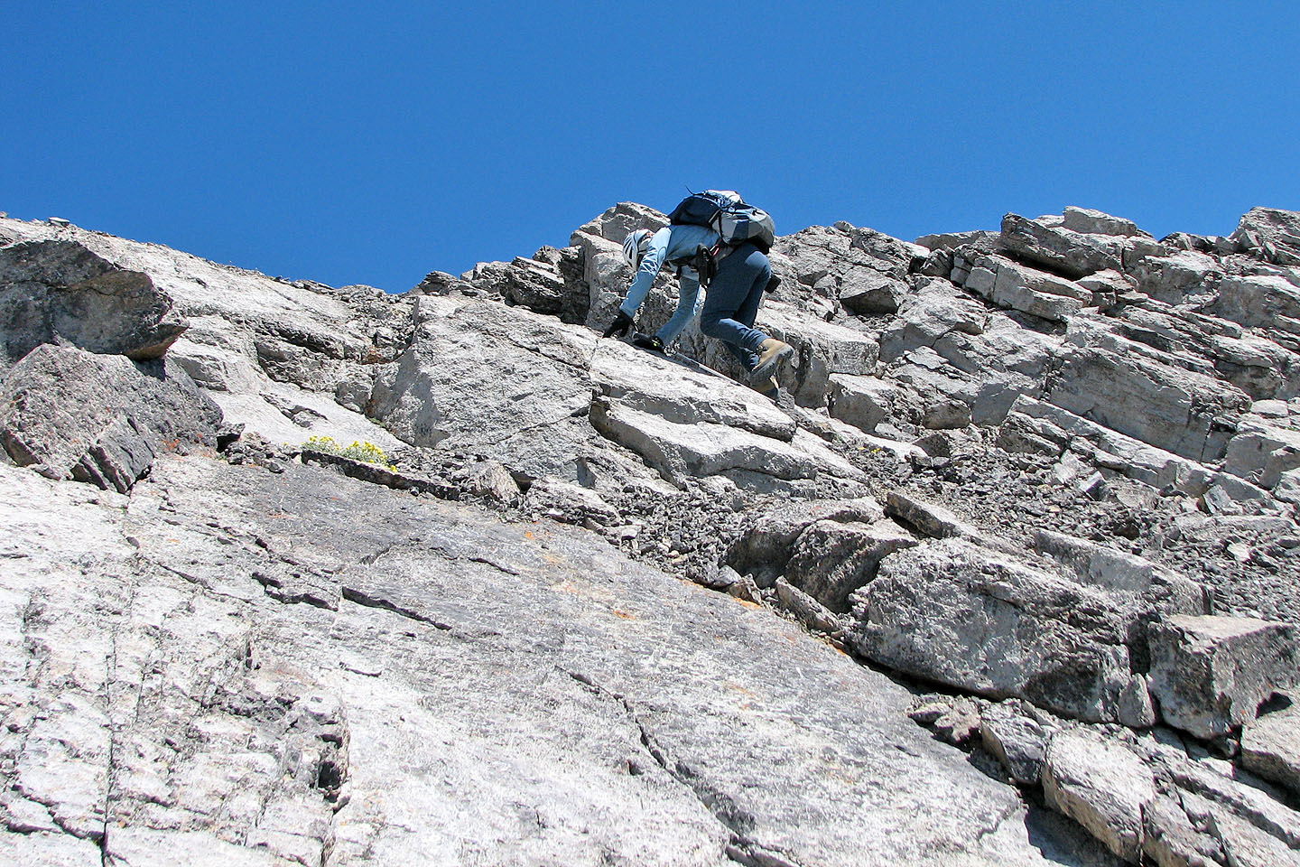
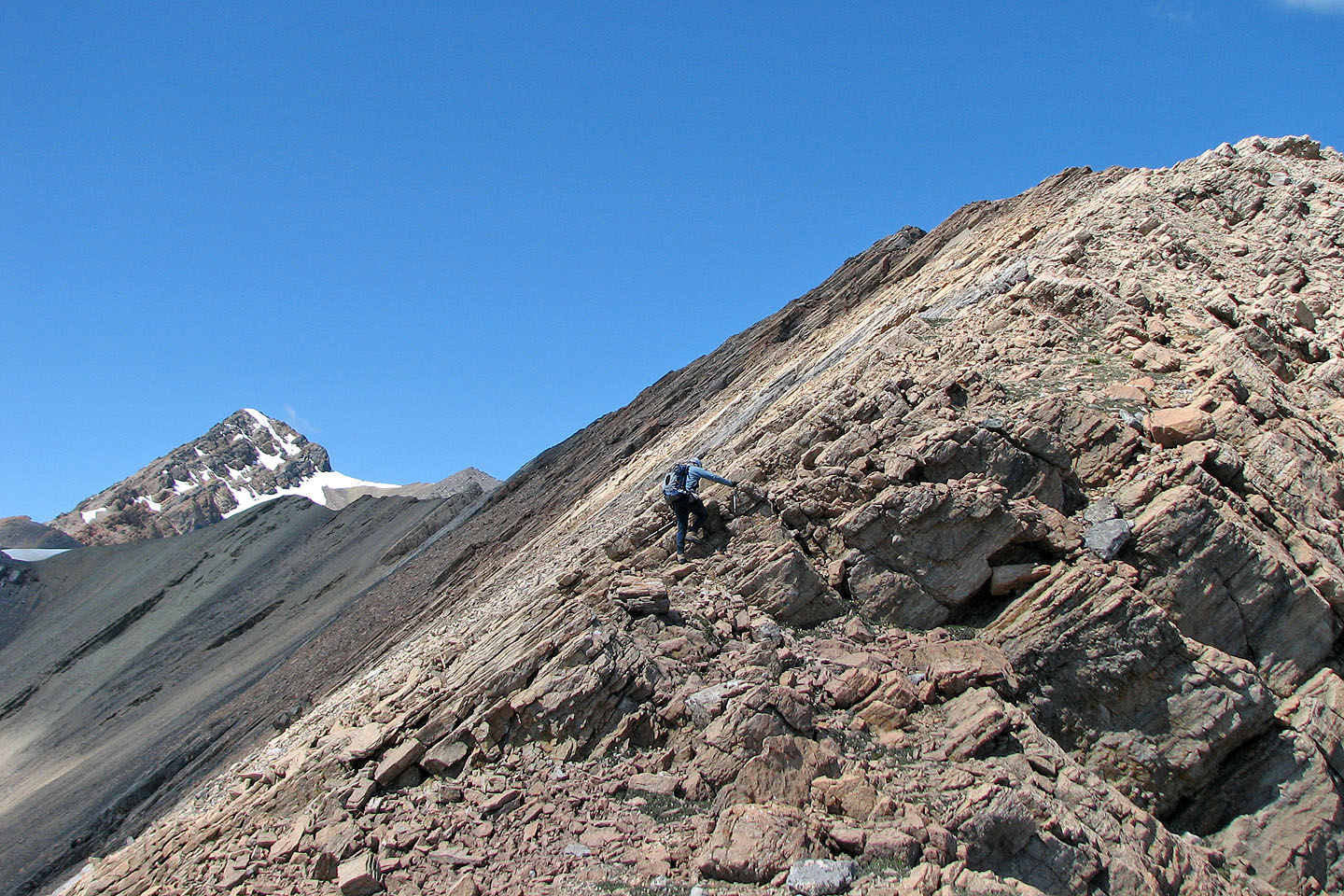
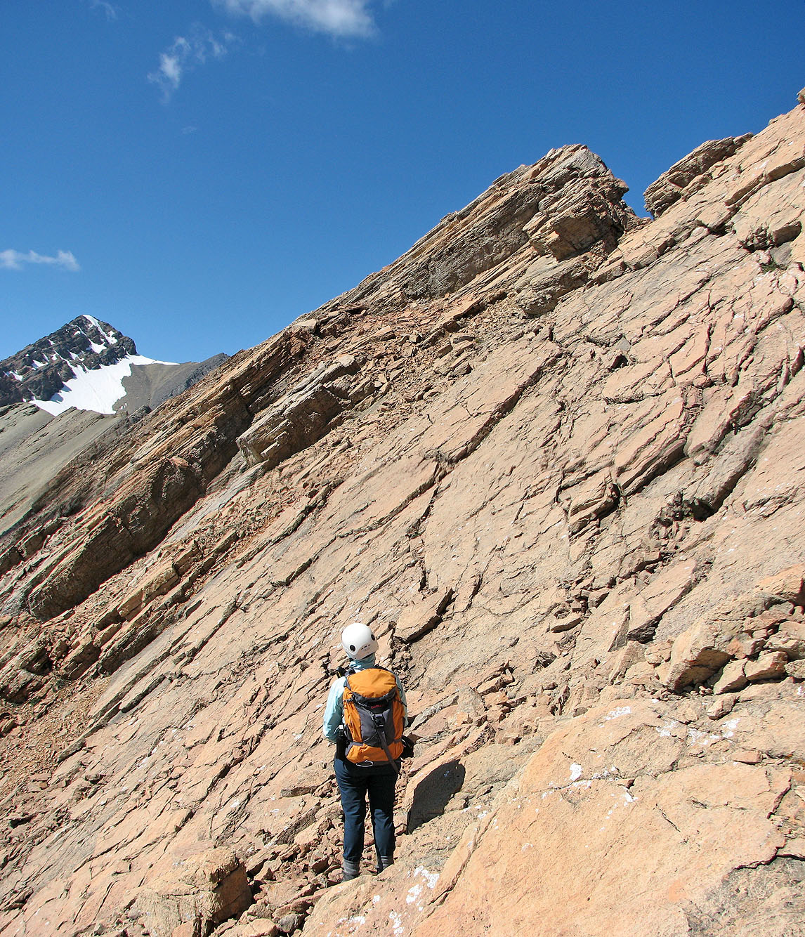
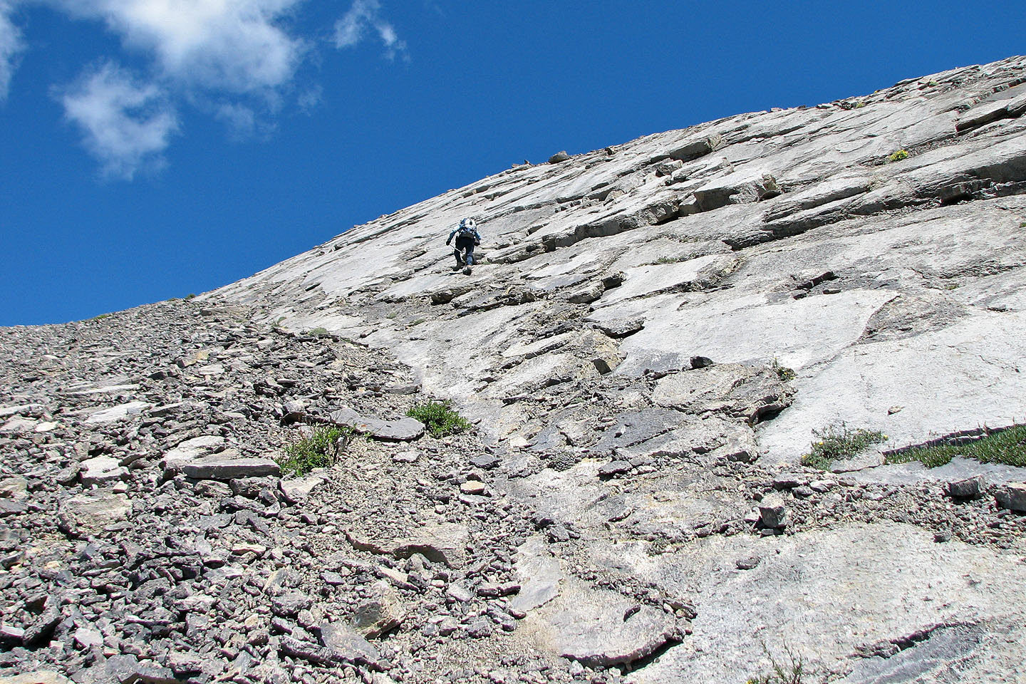 Higher up, we hit slabs. We avoided the scree
by taking to solid rock.
Higher up, we hit slabs. We avoided the scree
by taking to solid rock.
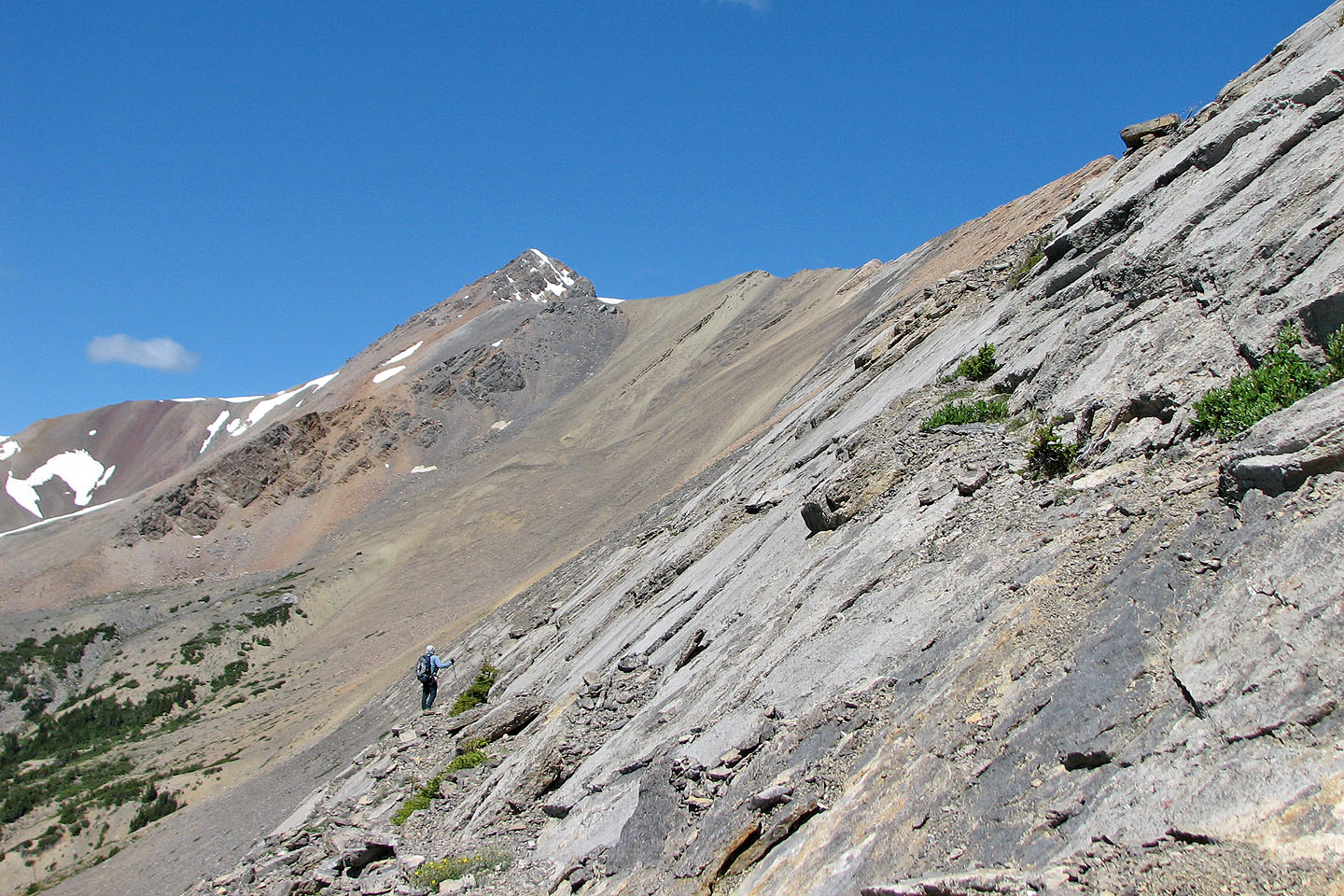
We hiked along a ledge before resuming our ascent (mouse over to look back)
We continued skirting solid rock
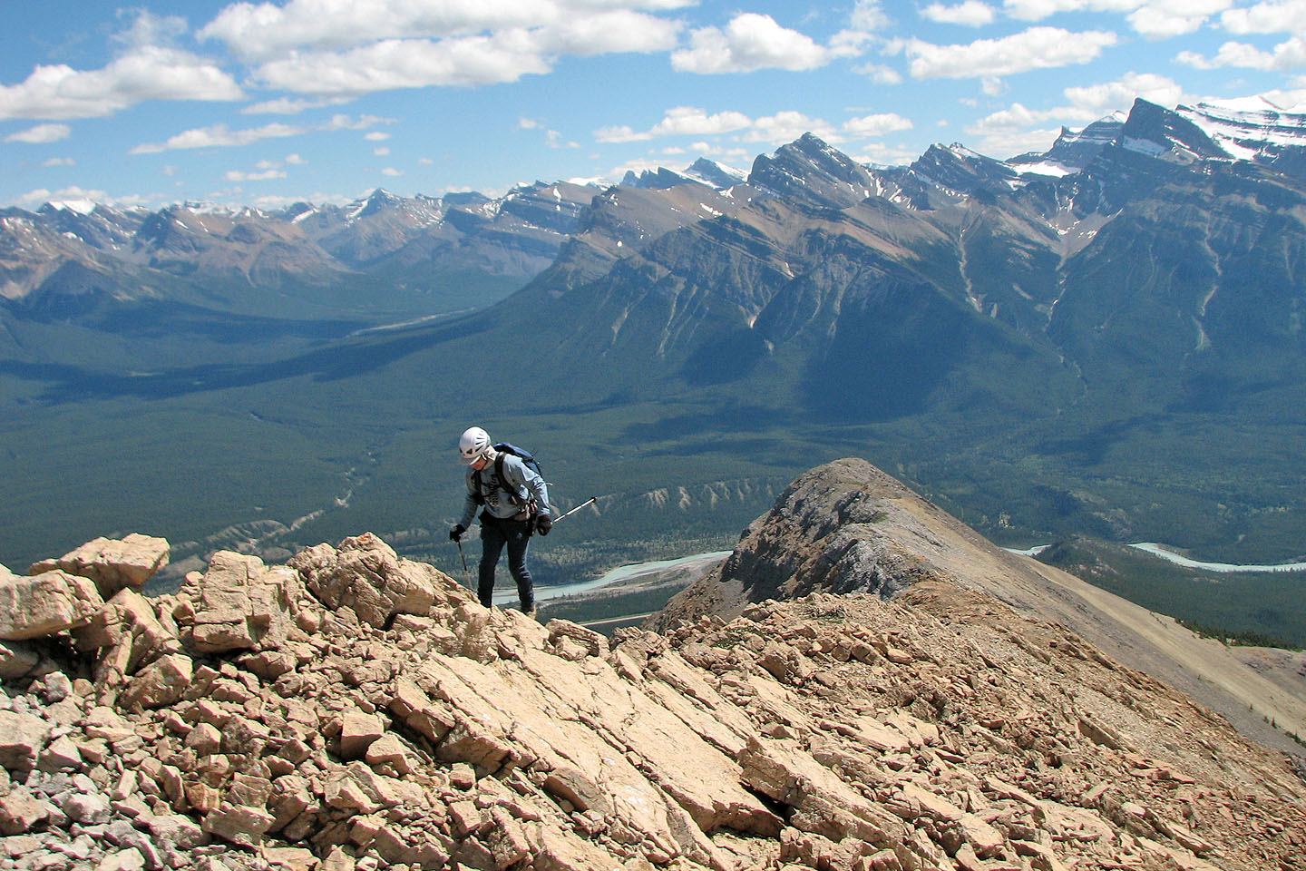
Back on the ridge. Siffleur Mountain centre left.
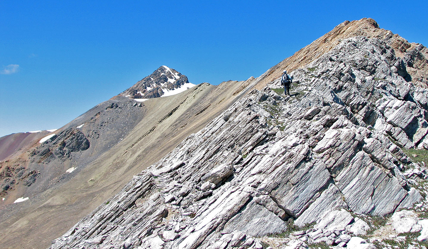
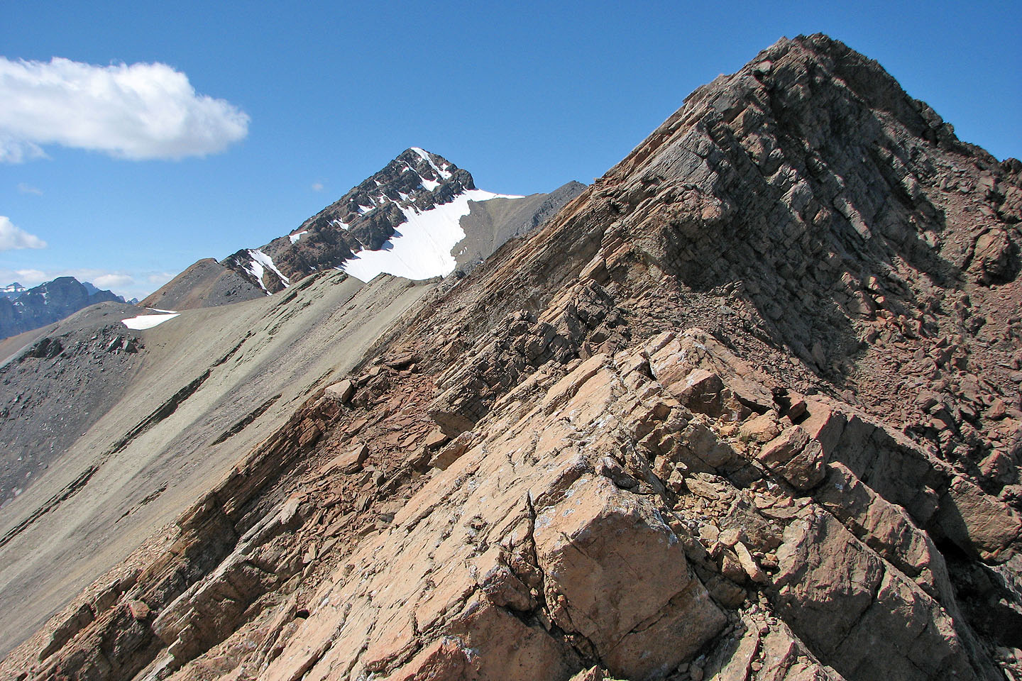
I assume the summit, or North Peak, is on the left
Pausing to figure out our next move
Mount William Booth
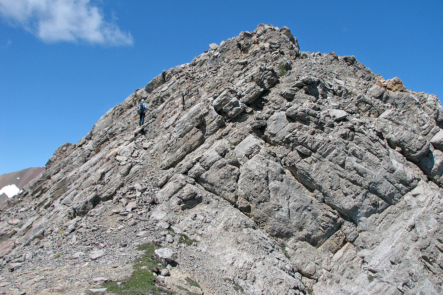
At times we had to leave the crest and ascend the slabs on our left
But most of the ridge was a hike
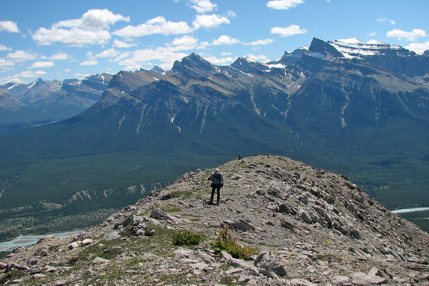
Regaining the ridge
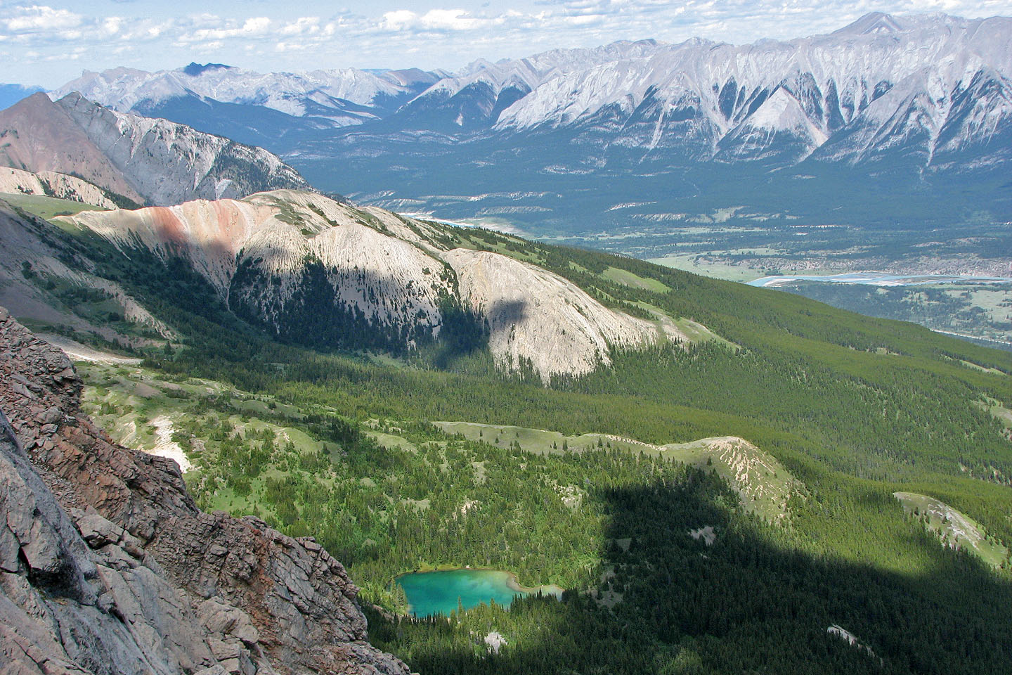
The double peaks of Mount Ernest Ross (left) and Kinglet Lake (mouse over for a closer look of the lake)
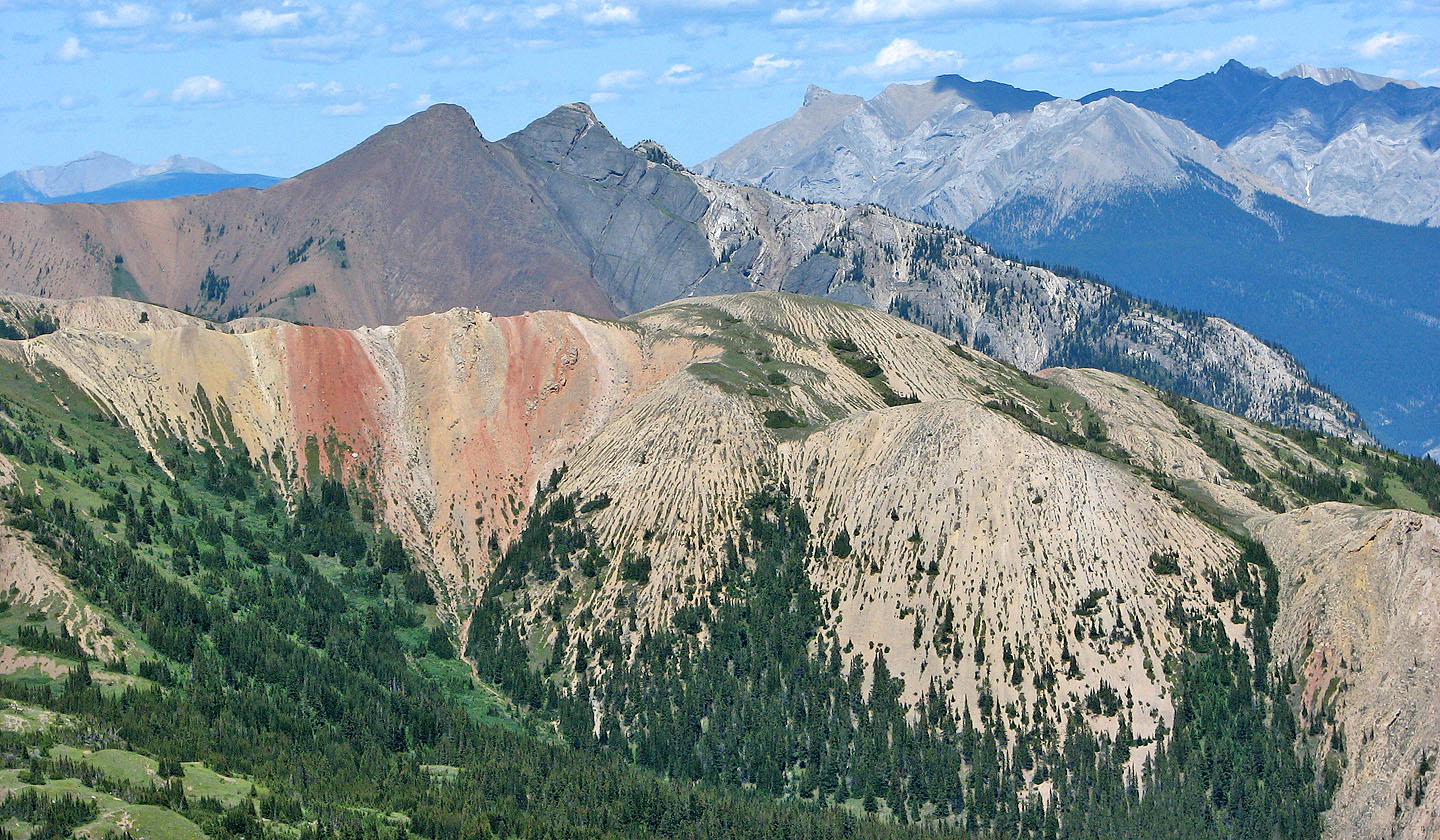
The colourful ridge in front of Ernest Ross is Tuff Puff
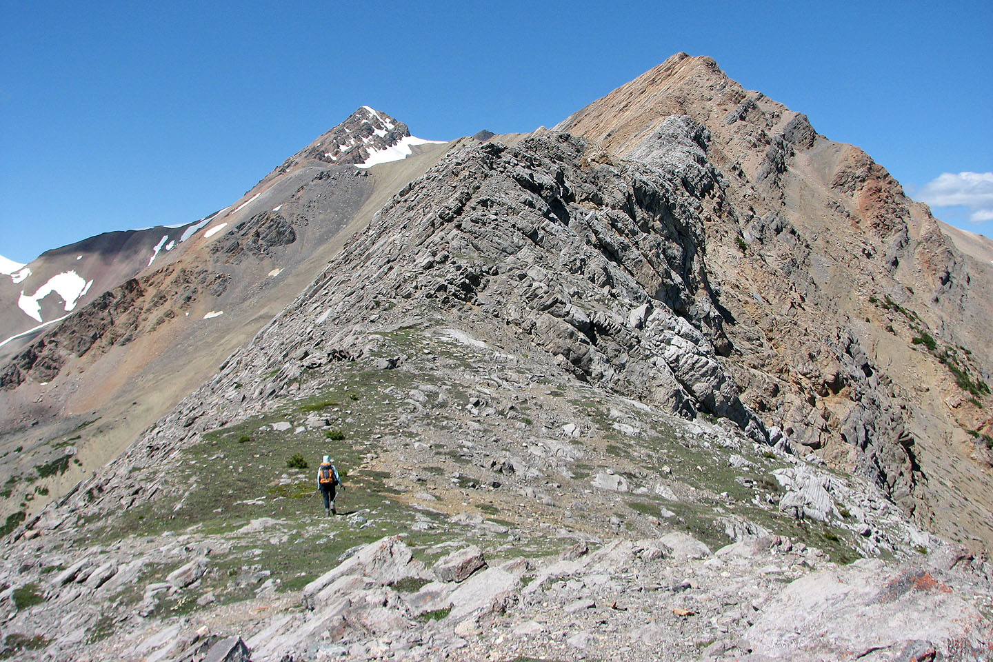
Continuing up the ridge
The rock changes to orange
As far as we got. The ridge immediately in front is exposed on both sides. It was a walk-up, but we couldn't
even crawl across it without losing our balance because of strong winds.
We dropped down to look for another way but then decided to turn around
Whirlpool Ridge from the road: we turned back just before orange high point
83 C/1 White Rabbit