bobspirko.ca | Home | Canada Trips | US Trips | Hiking | Snowshoeing | MAP | About
Maze Peak
Ya Ha Tinda, Alberta
July 1, 2011
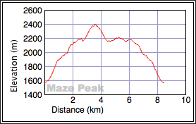
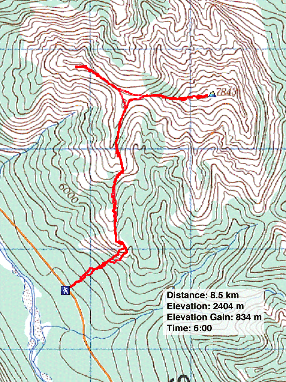
Distance: 8.5 km (5.3 mi)
Cumulative Elevation Gain: 970 m (3182 ft)
I wish there were more mountains like Maze Peak. A mountain that dispenses with an approach and quickly hoists you onto a ridge with wonderful vistas. Then while continually climbing with twists and turns – not to mention surprises around each corner – it propels you to the summit.
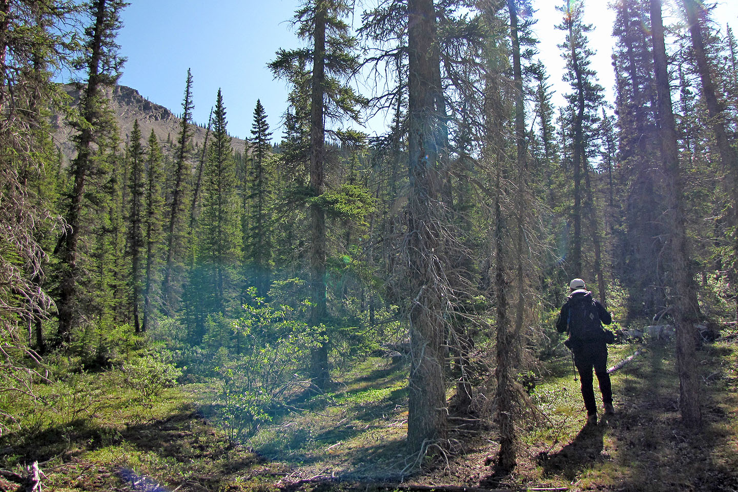
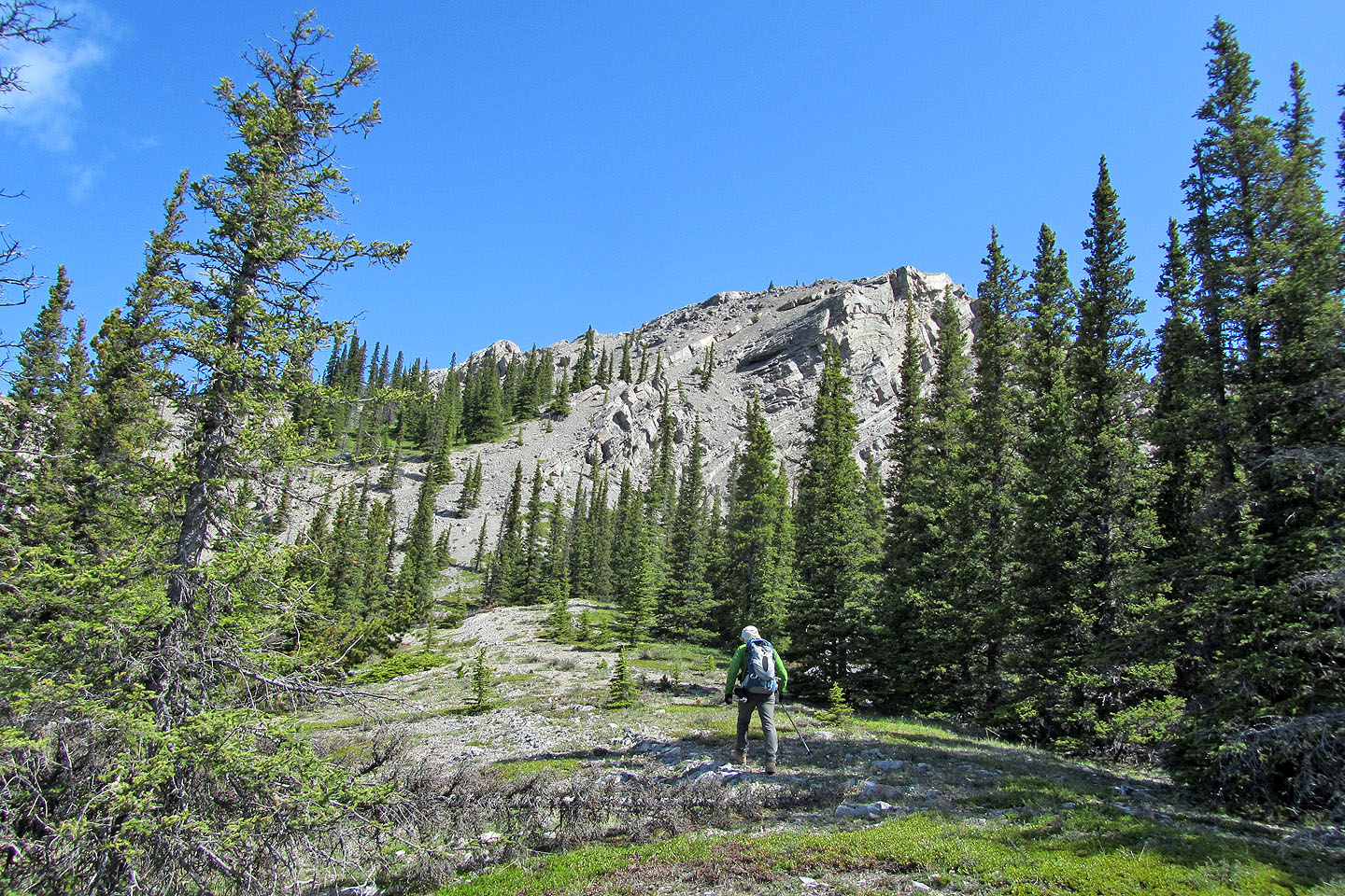
From Sundre, it took us an hour to drive to the trailhead, including a 38 km stretch on a well-maintained gravel road. The Rocky Mountain Ramblers, whose web page gave me the idea of climbing Maze Peak, ascended a drainage, but we chose to start up the sparsely treed west slope. We parked near the end of the southwest ridge and started hiking. We soon broke out of the trees onto a slope of broken shale that clattered like dinner plates under our boots. 35 minutes after starting, we gained the ridge crest.
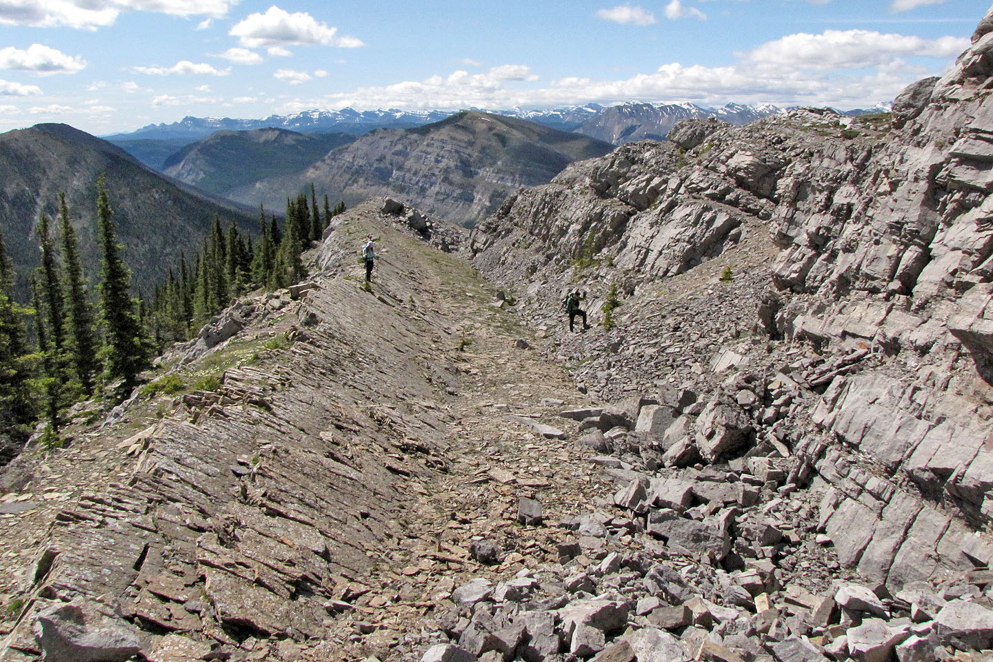
We followed the ridge. Because of the terrain, we were limited to viewing short sections at a time. It kept us guessing what lay ahead, until, that is, we came to a spur west of the summit. Here the beautiful pyramid shape of Maze Peak rose above us. We dropped down to a saddle and started up. We stayed close to the ridgeline, scrambling here and there, and in a short time arrived on the summit.
After spending several minutes on the summit taking photos and signing the summit register, we started back. At the base of the spur, looking for a reason to extend our stay on the mountain, we decided to ascend the west outlier. The modest effort was worth reaching another vantage point to take in the splendid scenery before we retraced our steps back to the car.
KML and GPX Tracks
Sonny's Trip Report
Soon after starting out, we could make out the ridge we wish to gain
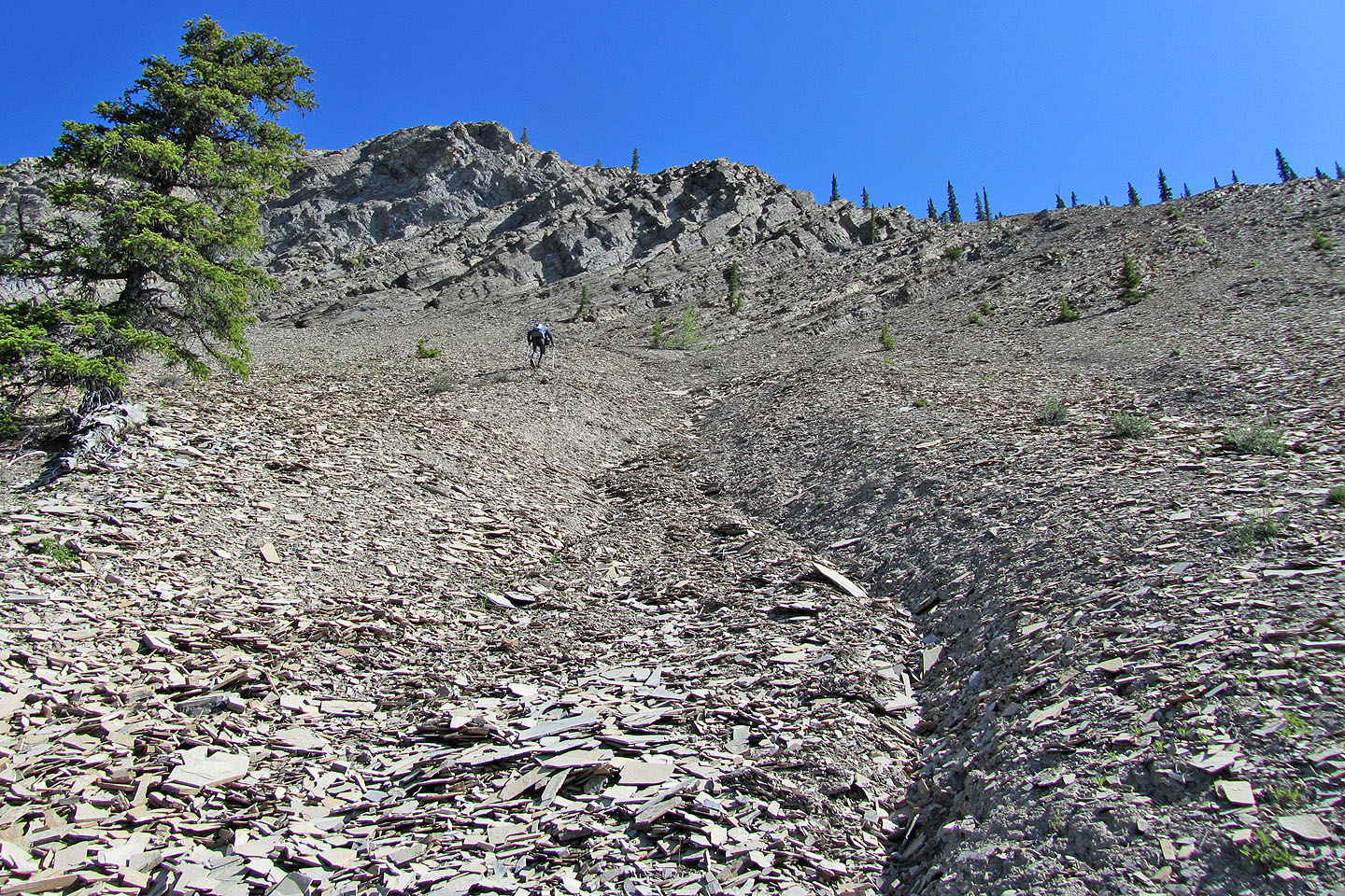
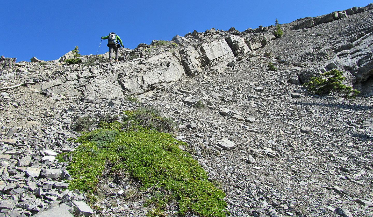
I went directly to the ridge hoping the low cliffs would offer solid footing. Instead loose shale
over steep rock made travel miserable (mouse over)
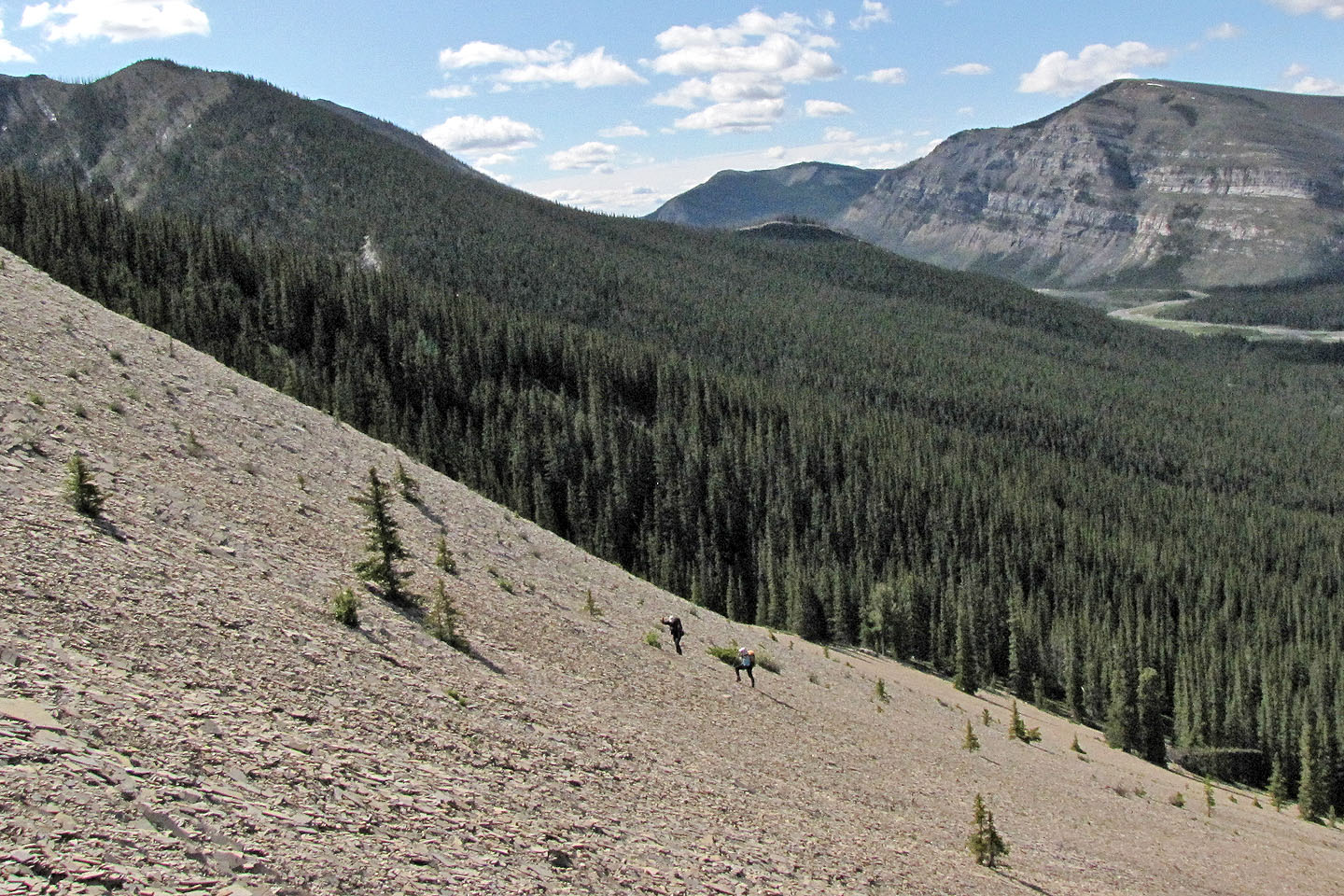
Sonny and Dinah kept right and undoubtedly found the going easier
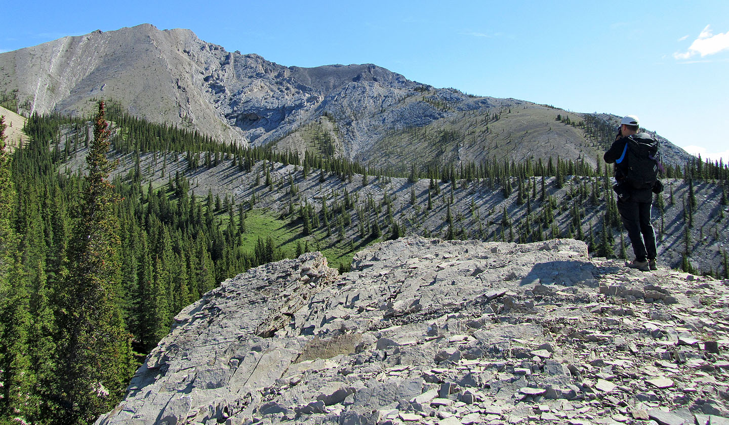
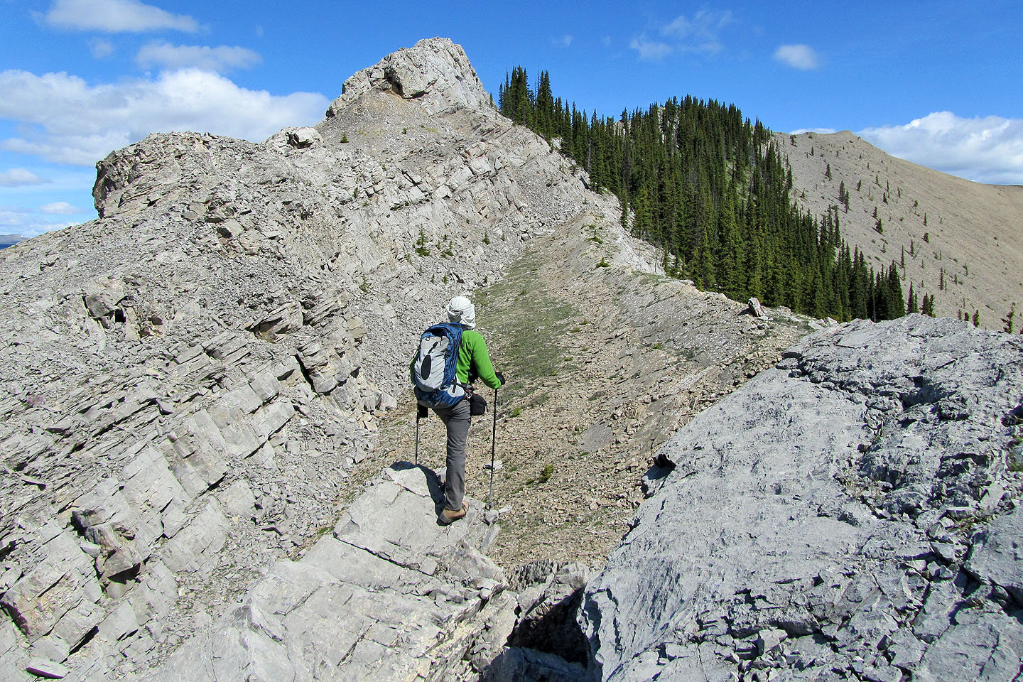
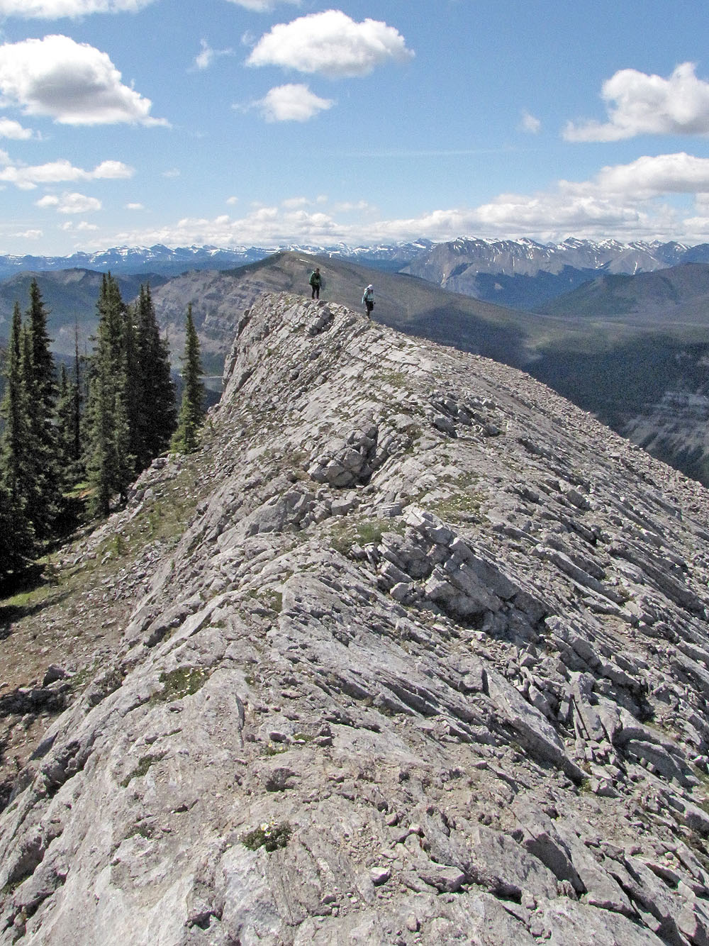
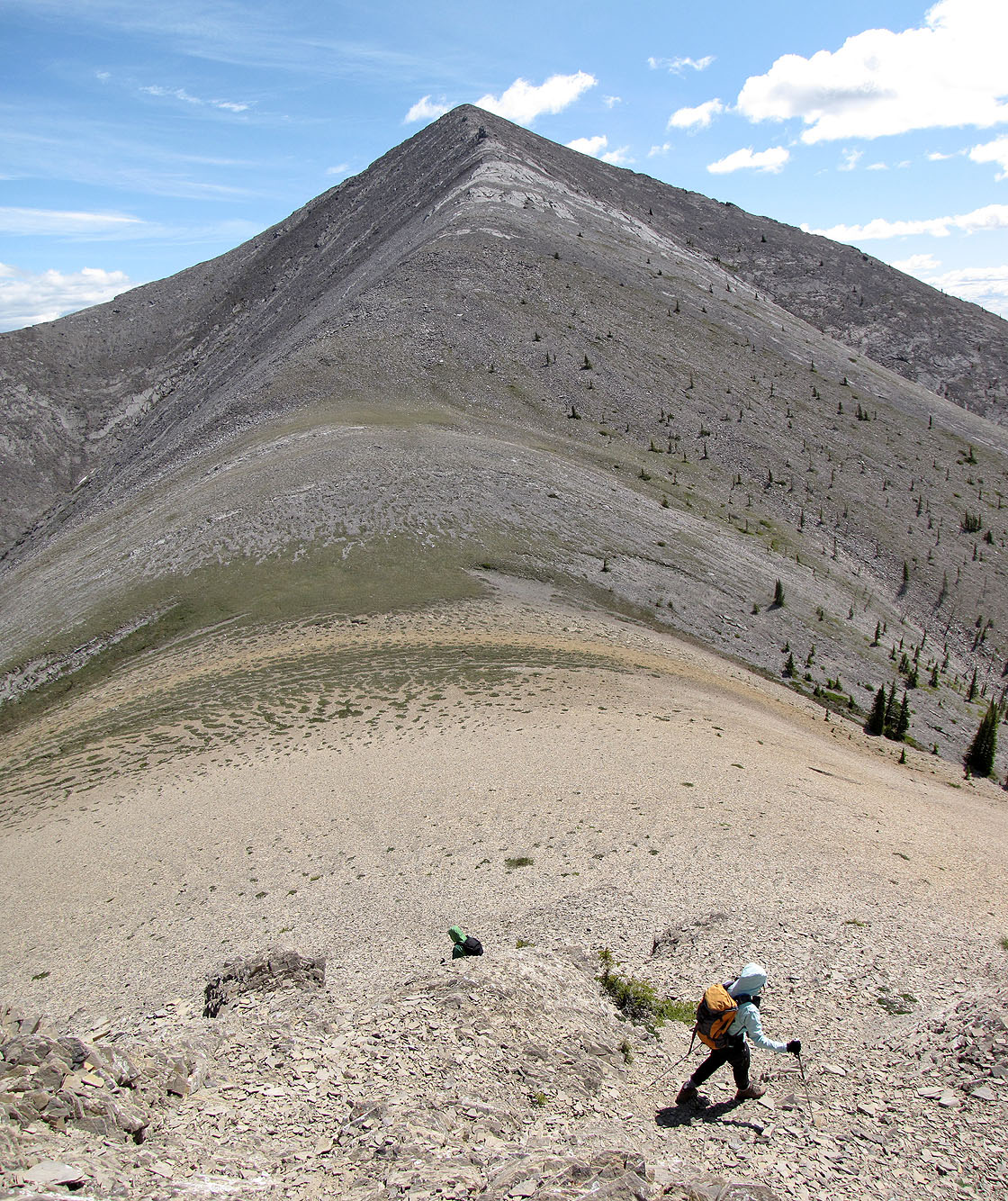
After gaining the ridge and hiking along it for a short way, we saw the summit (left)
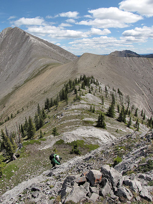
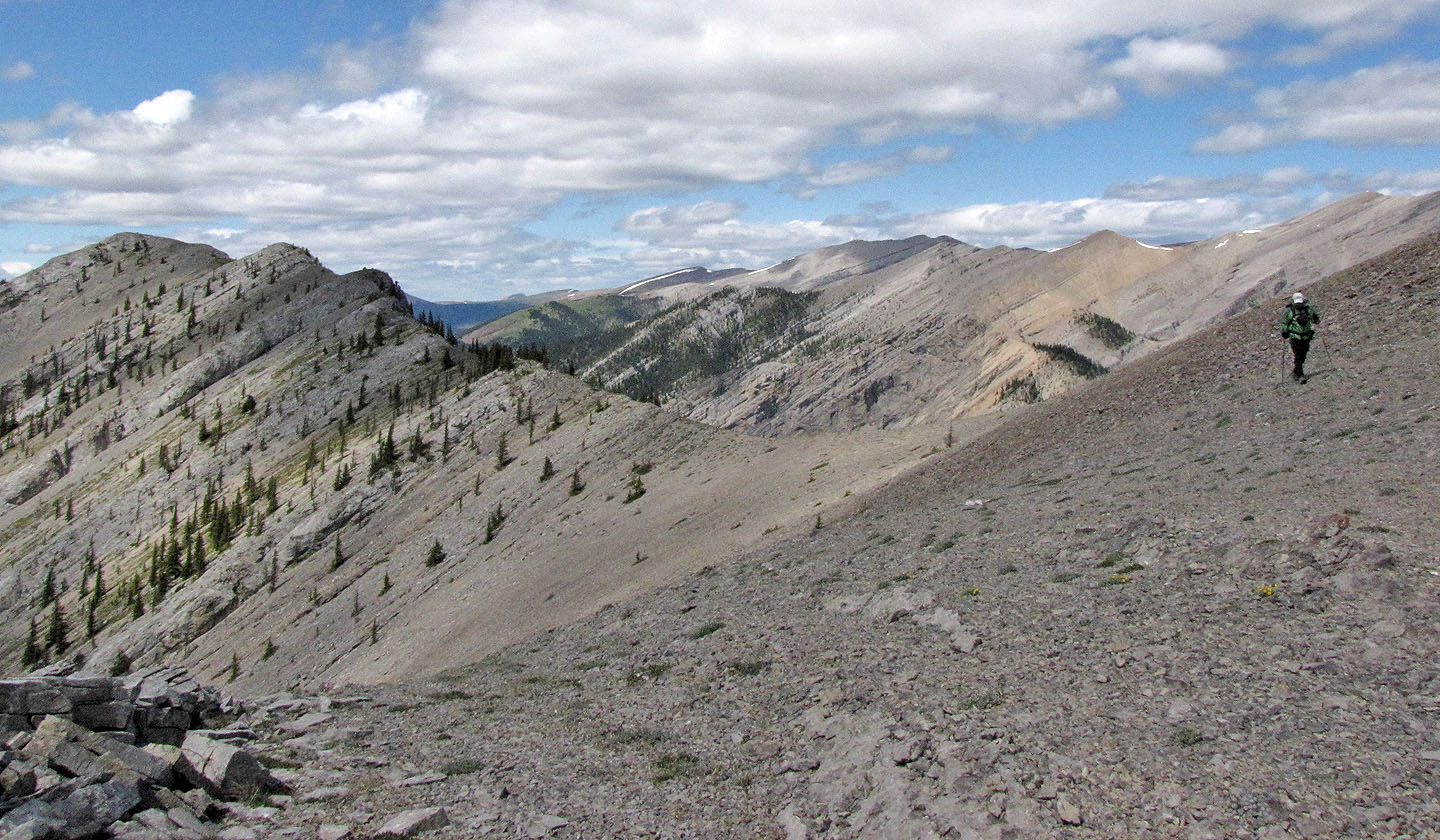
We followed the southwest ridge to the west spur
Looking back along the ridge, Mount Minos rises above the Red Deer River
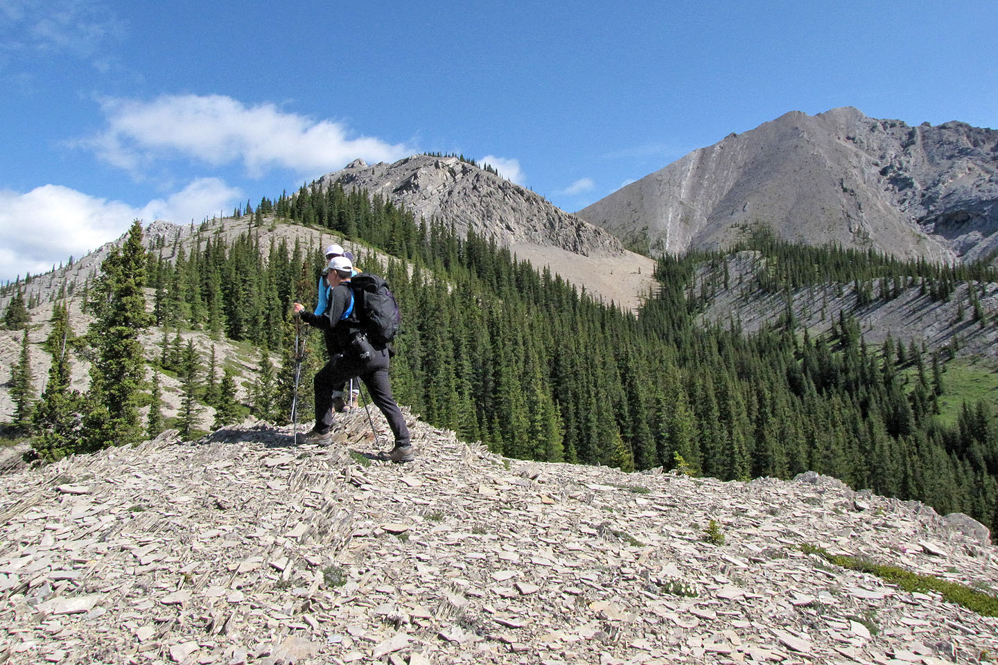
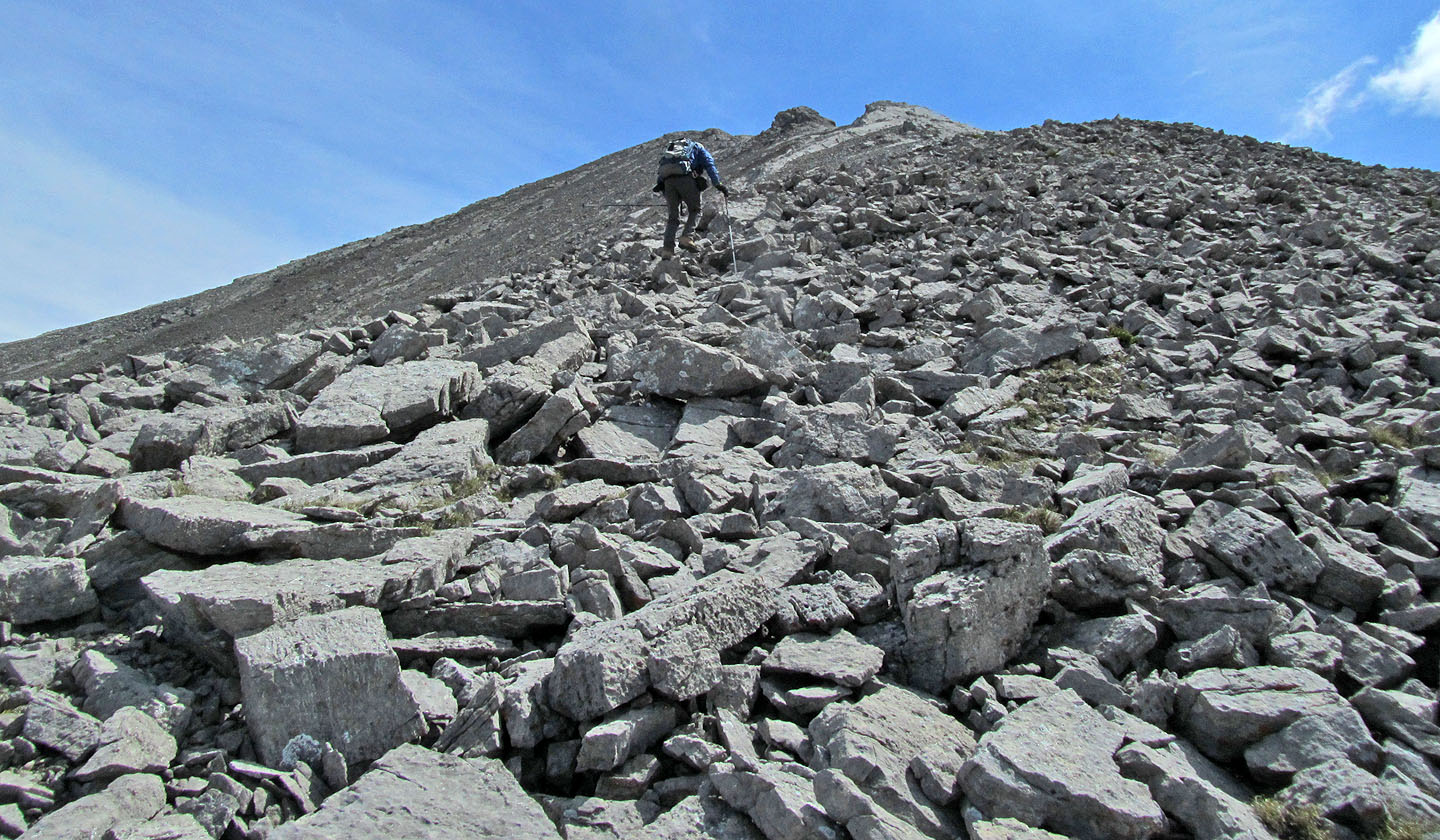
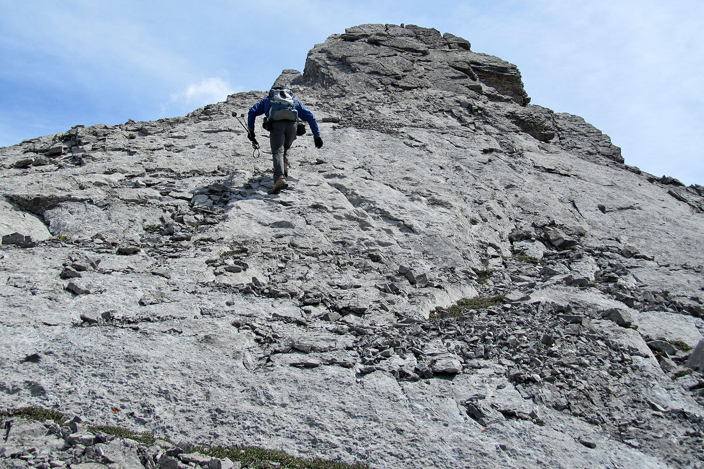
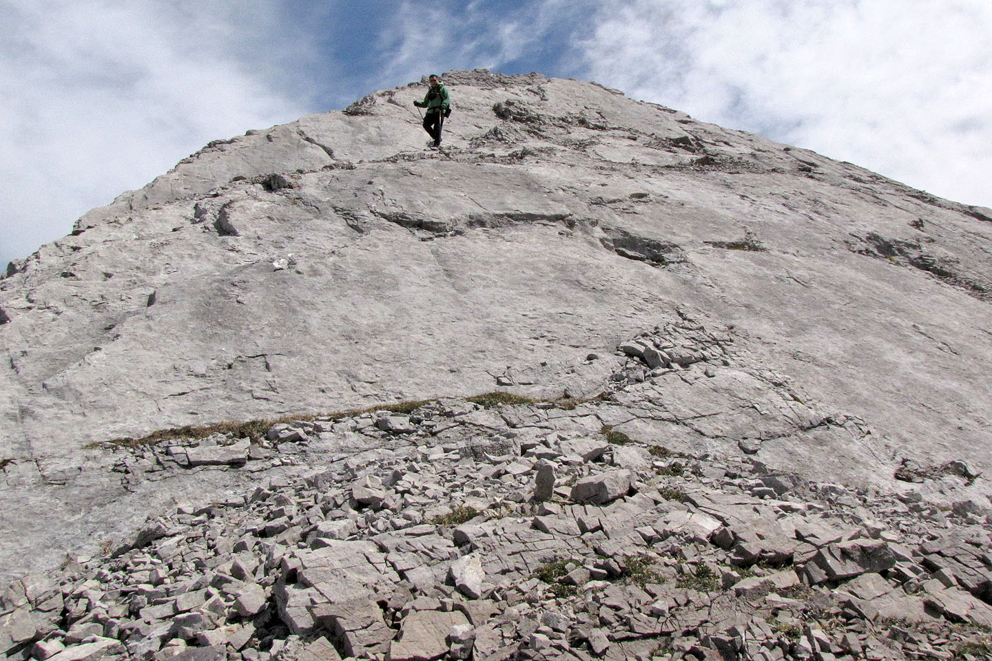
Steep climb ahead
This was one of the longest and steepest sections we ascended
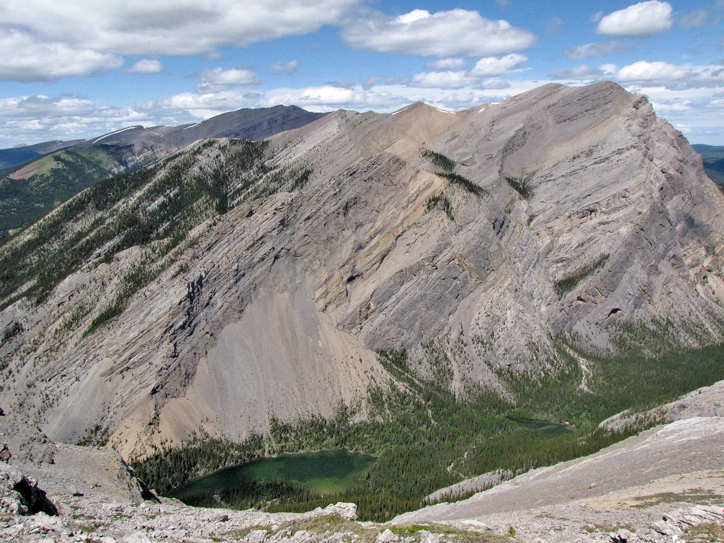
We found an incredible rift on the ridge. The spur can be seen on the skyline on the right.
Looking back along the rift
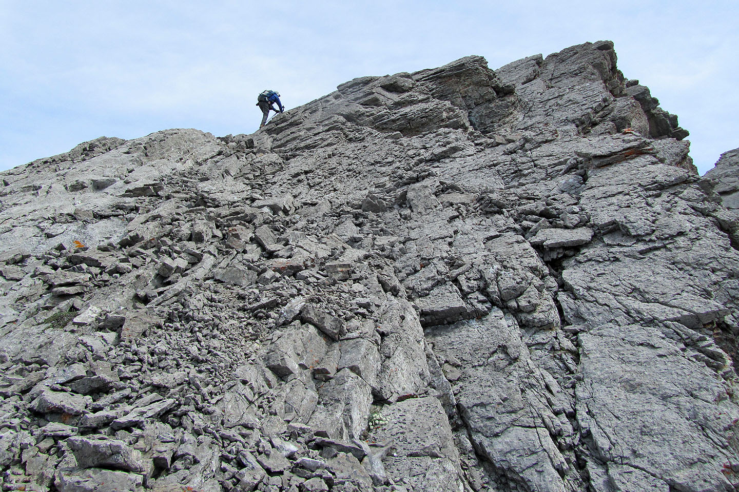
Above the rift, we scrambled up a knob
At the top, Sonny paused to look around
Looking back at Sonny and Dinah
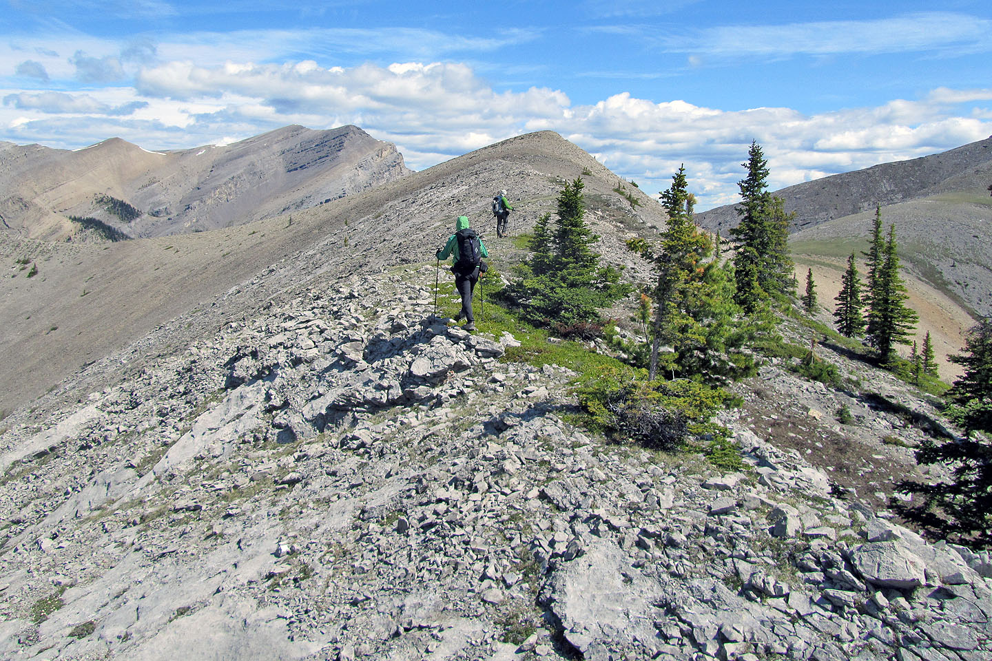
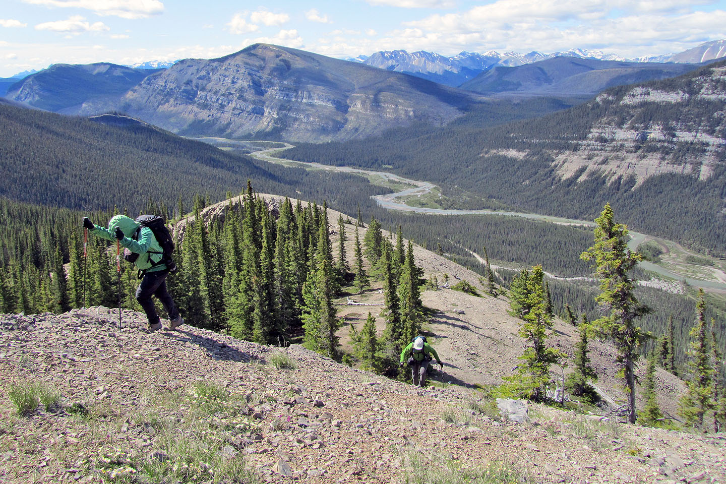
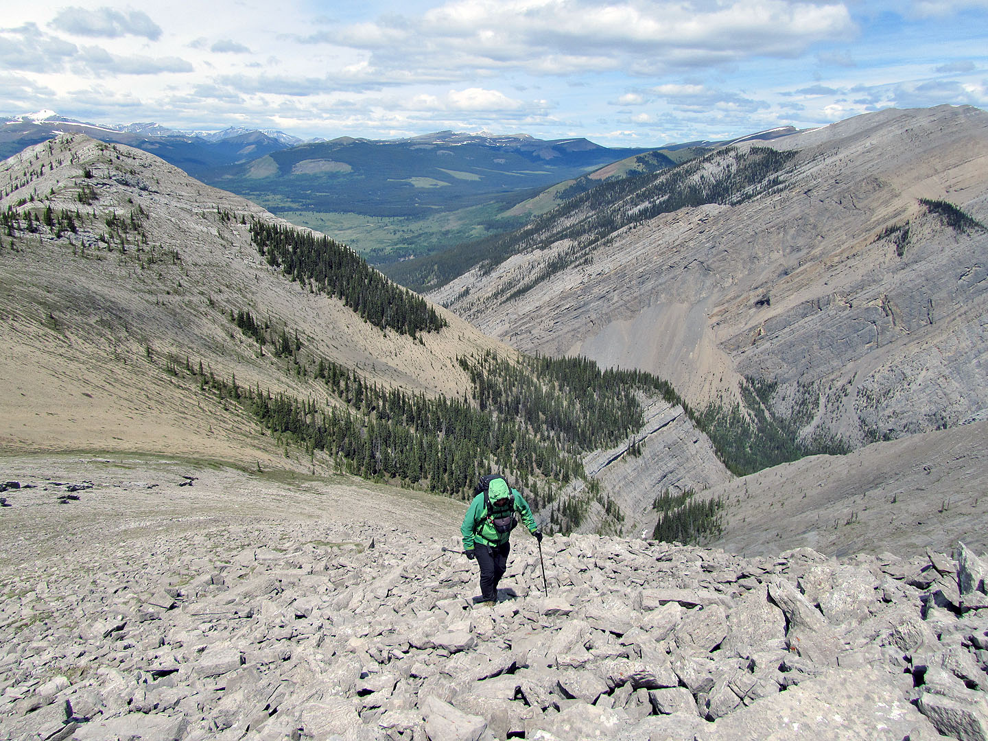
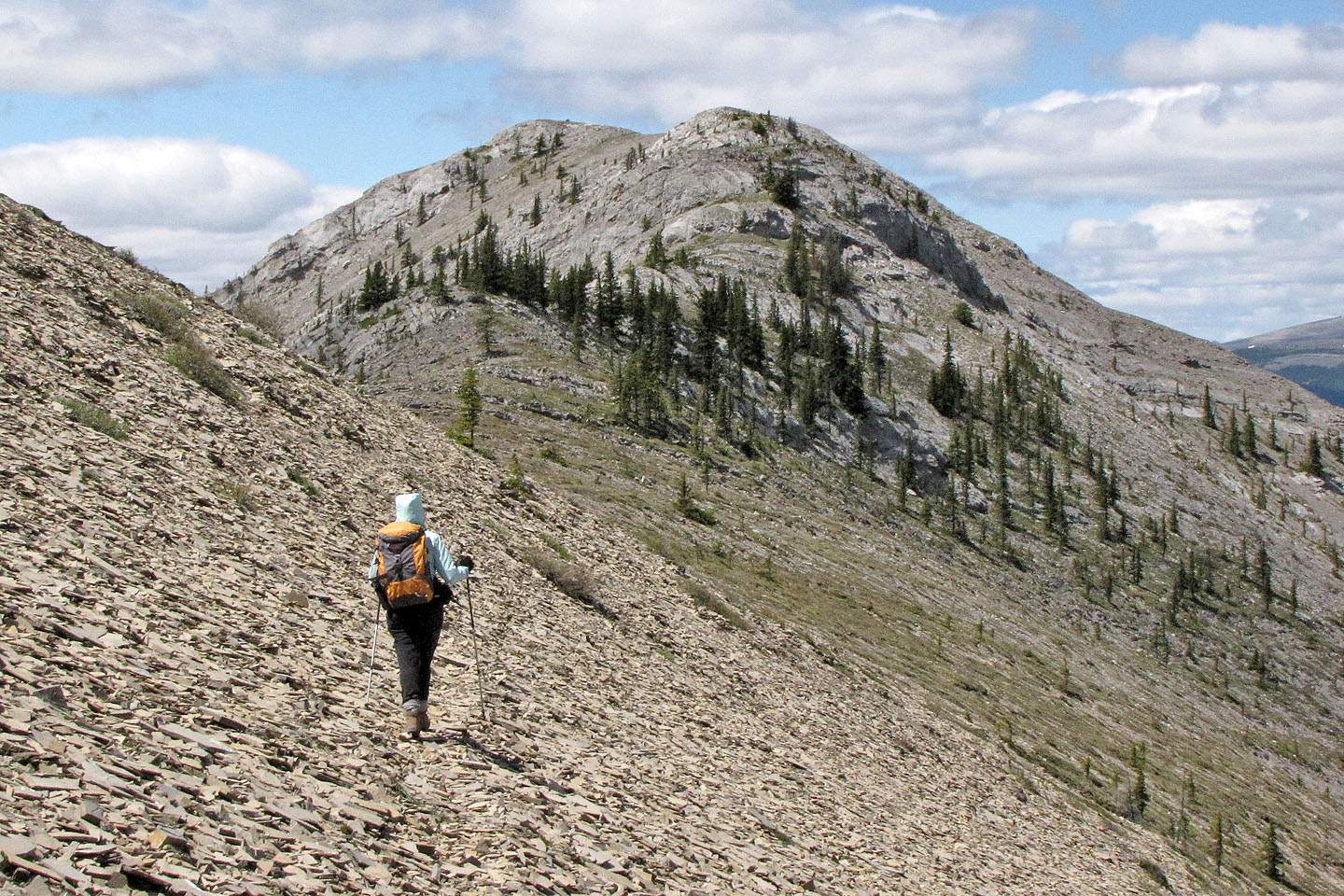
Hiking to the spur
From the spur we headed to the summit
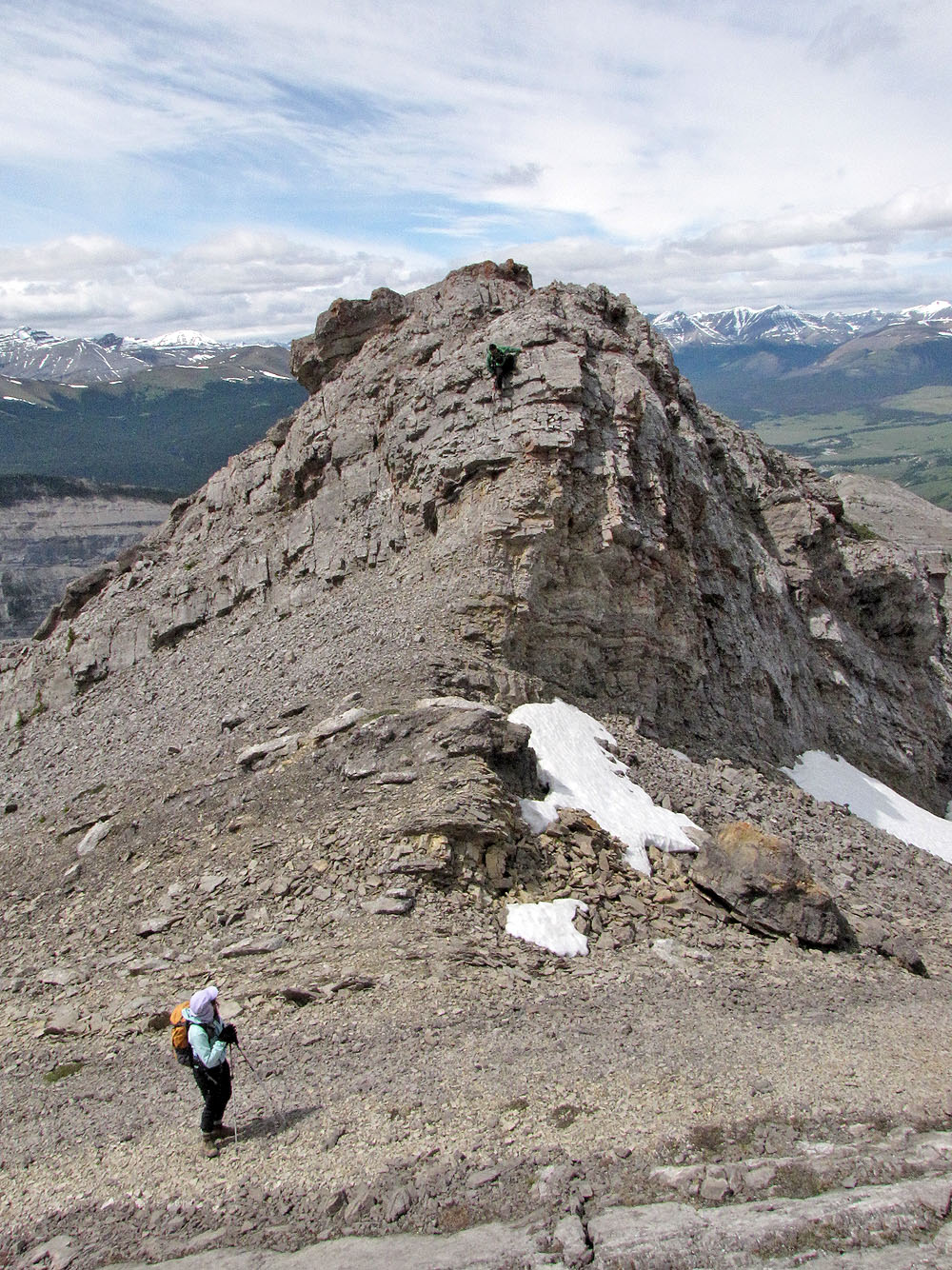
A buttress of dark rock juts out from the summit ridge
Looking back. On the return trip we visited the west outlier behind us.
Mountains behind include Warden Rock (mouse over)
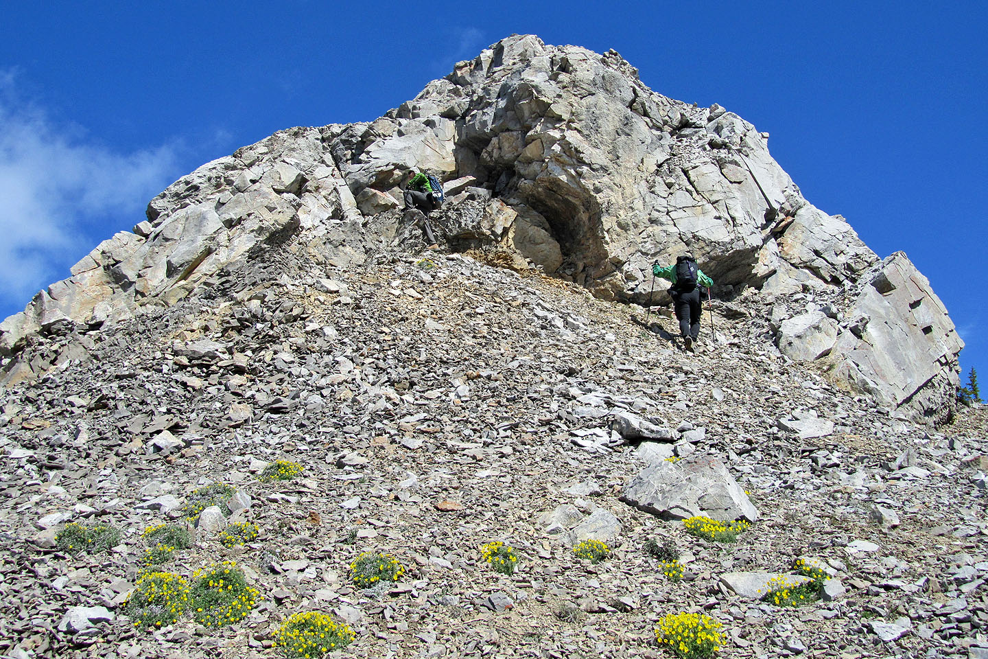
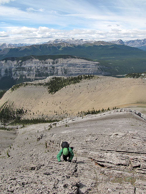
Going up the buttress
Sonny and I scrambled up the buttress while Dinah hiked around it
Sonny climbing up the buttress. Behind (bottom to top) are our ascent ridge,
Labyrinth Mountain, unnamed ridge and Barrier Mountain (mouse over).
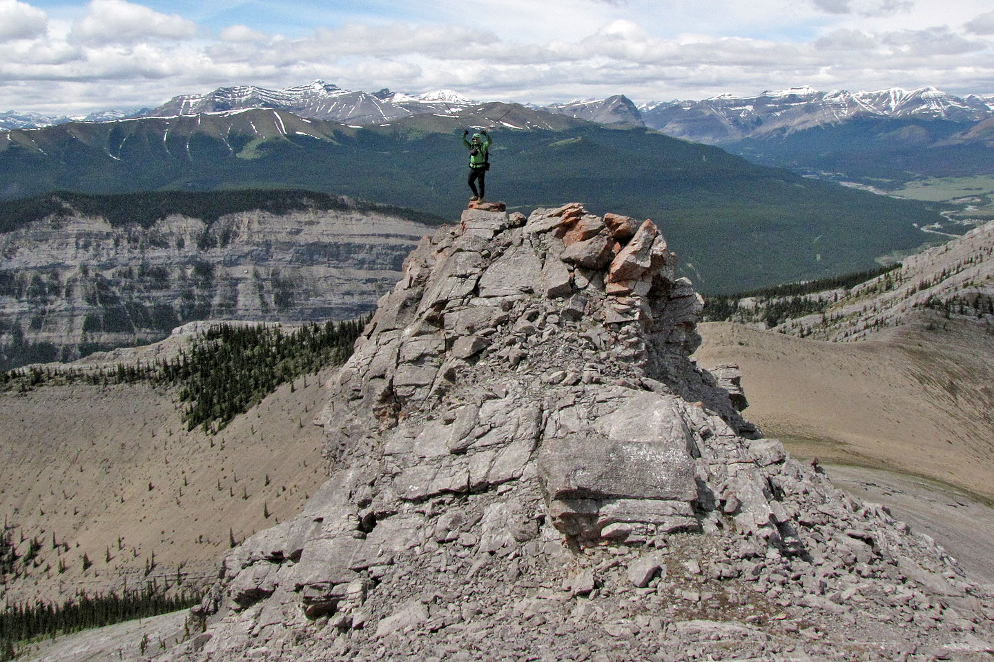
Sonny standing on the buttress
Just before the summit, Dinah watches Sonny downclimb (mouse over)
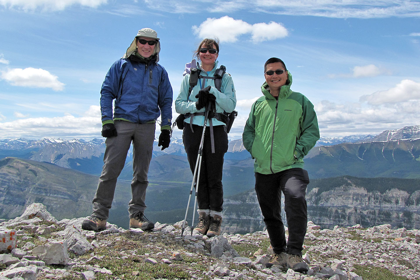
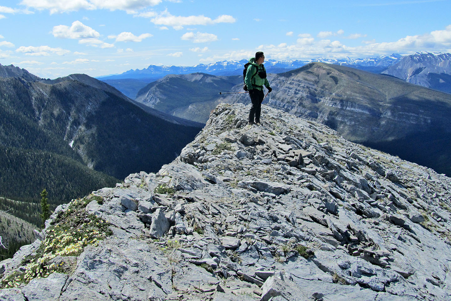
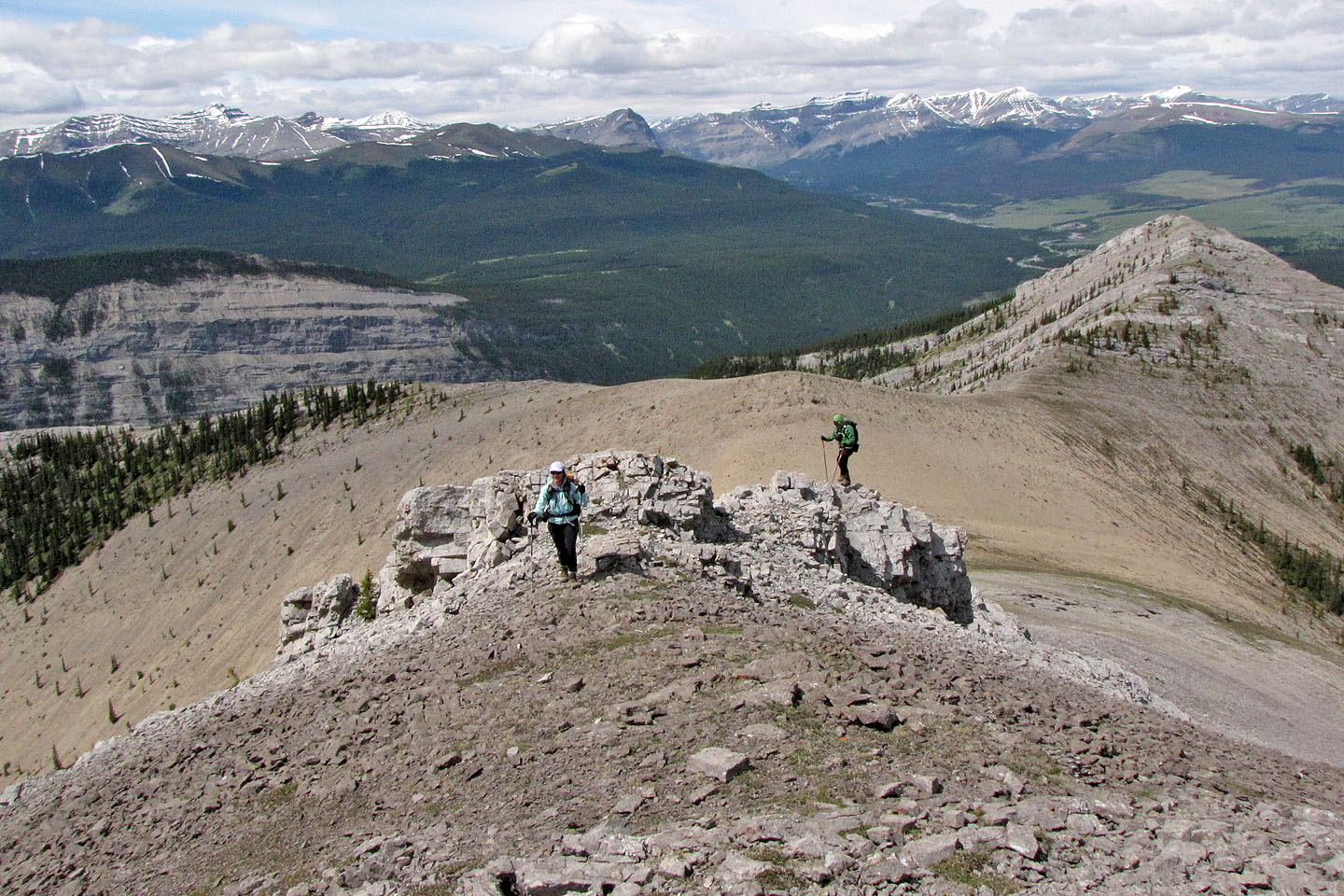
On the summit
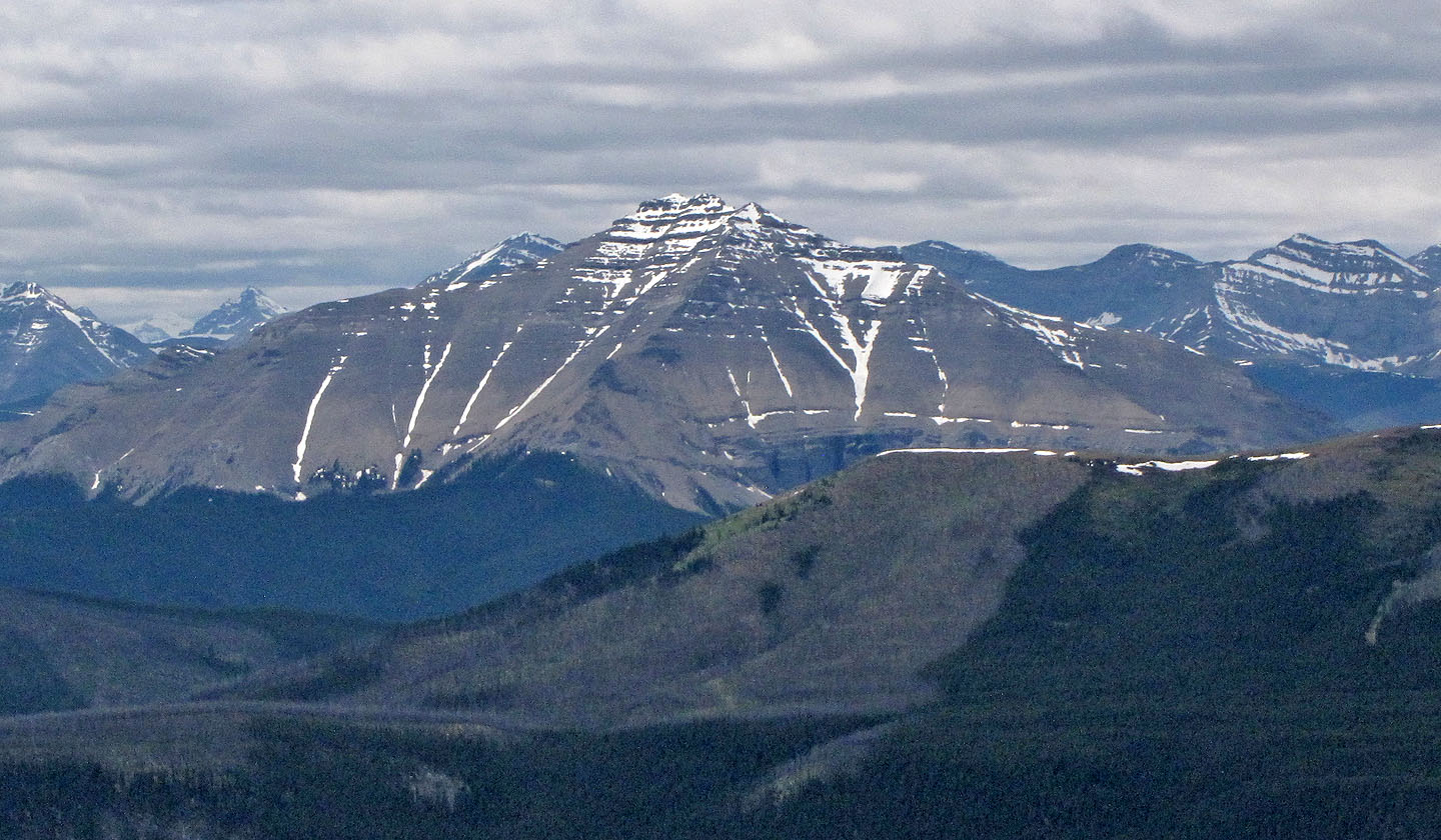
Dormer Mountain lies southwest
Looking back as Sonny comes down from the summit
Sonny walked down slabs on the ridge crest
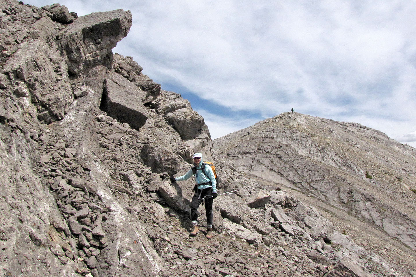
Heading to the west outlier. Mouse over to look back.
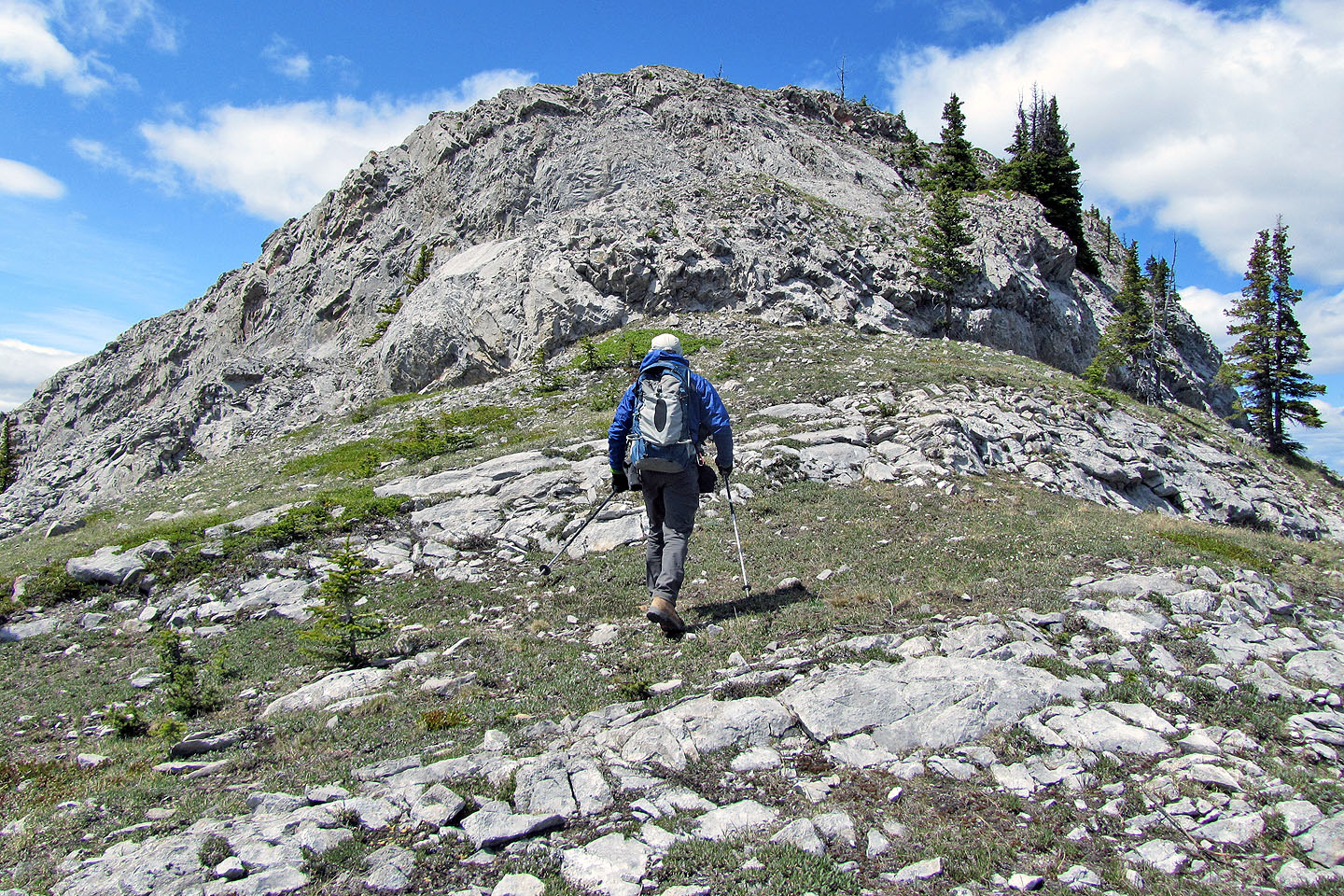
Some scrambling along the way
Sonny scrambles up. Maze Peak on the left.
Looking north: Eagle Lake and "Eagle Lake Peak"
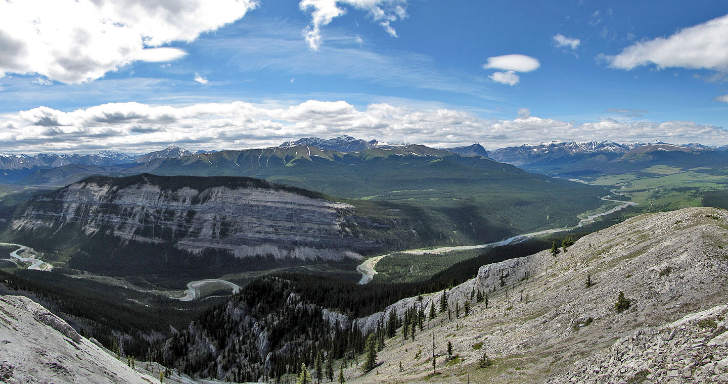
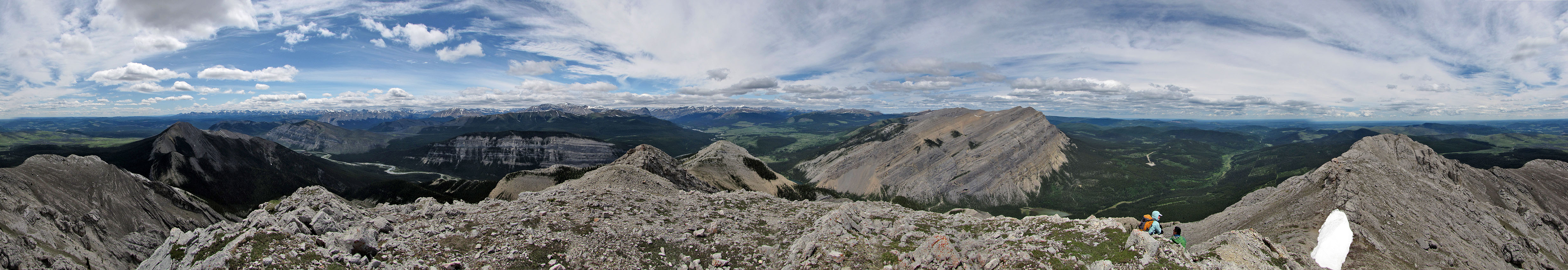
Panorama from the outlier
Last look at the spur as we took a shortcut under the spur
82 O/11 Burnt Timber Creek