bobspirko.ca | Home | Canada Trips | US Trips | Hiking | Snowshoeing | MAP | About
Coyote Hills West
Kananaskis, Alberta
July 6, 2024
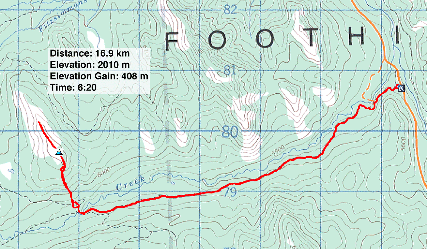
Distance: 16.9 km (10.5 mi)
Cumulative Elevation Gain: 487 m (1598 ft)
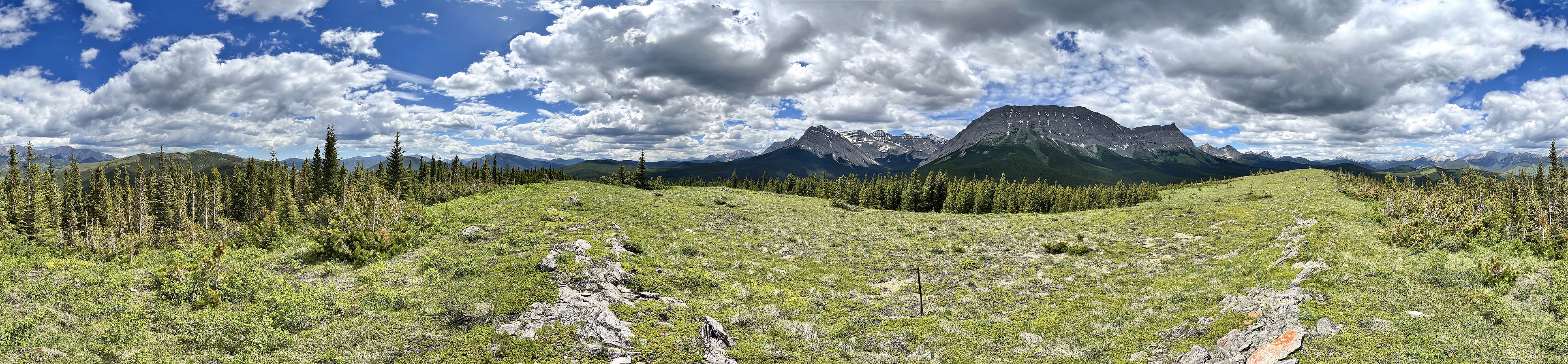
The long, open ridge next to towering Armstrong Mountain is worthwhile attaining despite a lengthy approach and short bushwhack. Sonny Bou calls this ridge, Coyote Hills West, and we used his route. Zora, Christine, Tomiji, Jonathan and I found the front-range hike appealing since the snow had yet to disappear in the back range.
We followed Baril Creek trail as it threads through a dense forest that leaves scant views. We encountered a few people on the trail, cyclists riding to James Lake and backpackers heading to Fording River Pass.
We saw Baril Creek when the trail crossed it. Thankfully, a footbridge saved us from fording its brisk waters. After the bridge, Baril Creek trail continues west, but we turned north onto an old road and briefly followed it to the south end of the ridge. After bushwhacking up a lightly forested slope, we emerged onto a grassy summit ridge. We welcomed the cool breeze on top, not to mention the scenery. Armstrong Mountain filled the view west and commanded our attention.
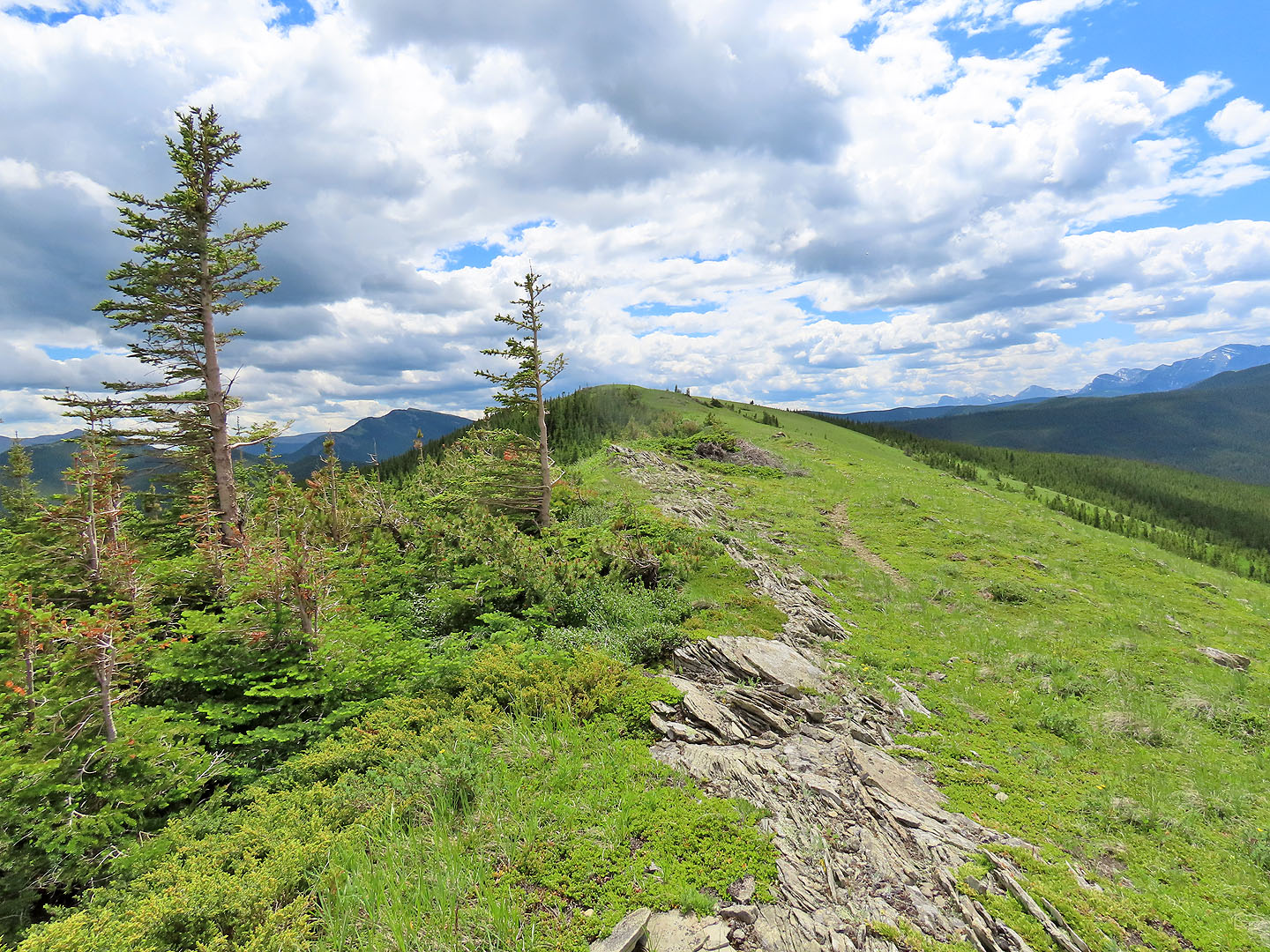
Our ridge also invited consideration. While Zora and Jonathan reclined near the summit, Christine, Tomiji and I wandered 600 m down the meadowy south end. The open ridge continued a long way, but we felt we had strayed far enough and turned back. We regrouped and started back down.
After bushwhacking back to the road, we noticed a trail ahead. We started down the well-defined path, but after a short distance, it veered right. We turned left, caught another old road and were soon back on Baril Creek trail. As we trudged down the path, we tried not to think how far we were from our car.
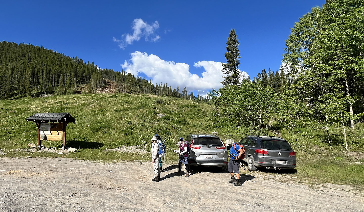 Baril Creek trail begins in the trees on the right
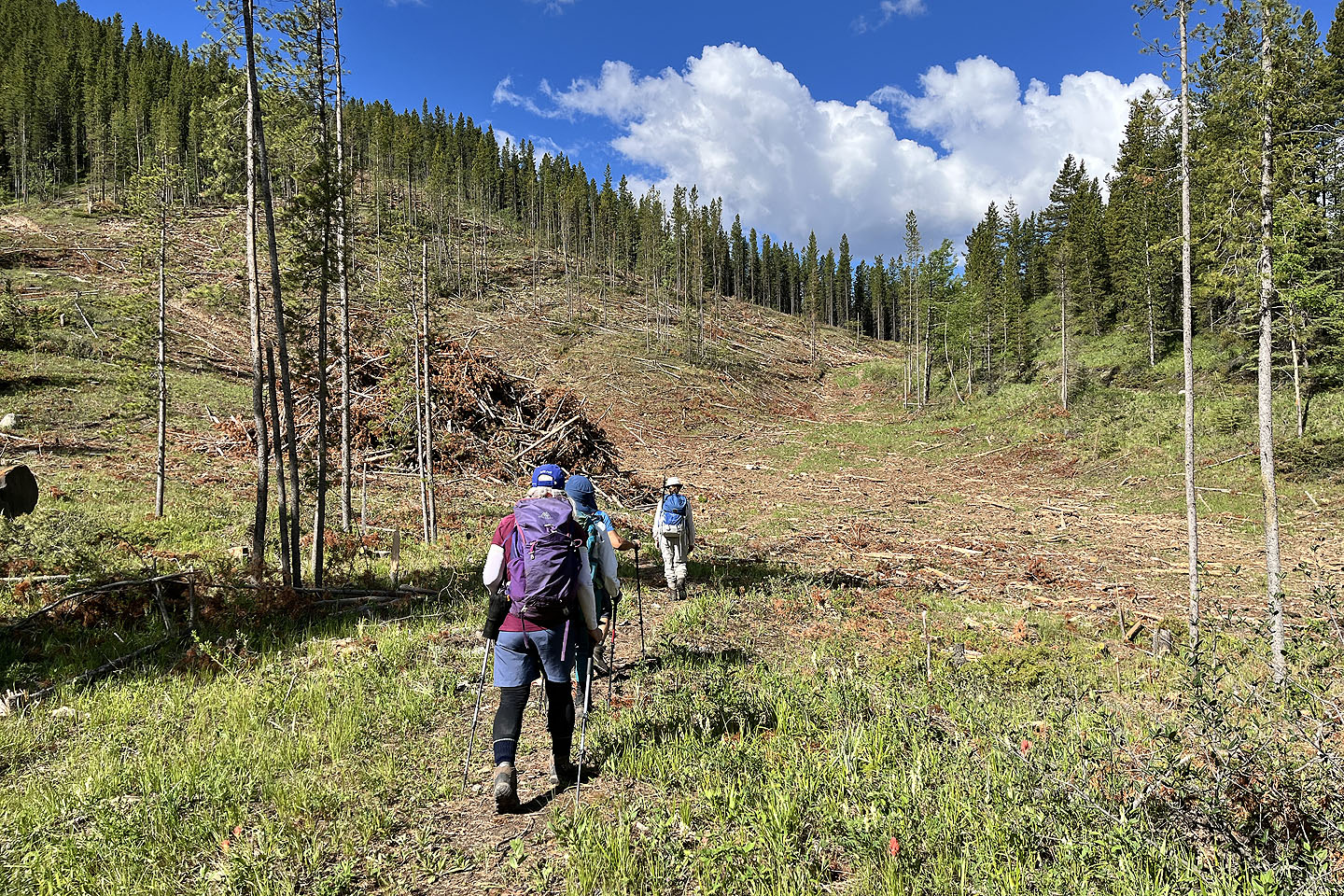 We took a shortcut through a cutblock to the trail on the right
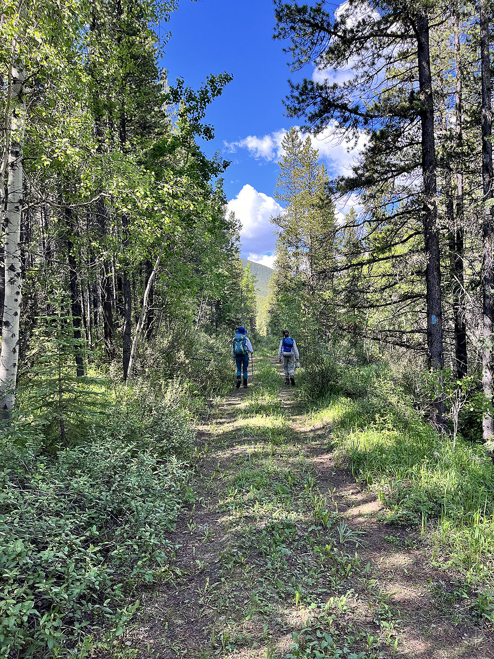
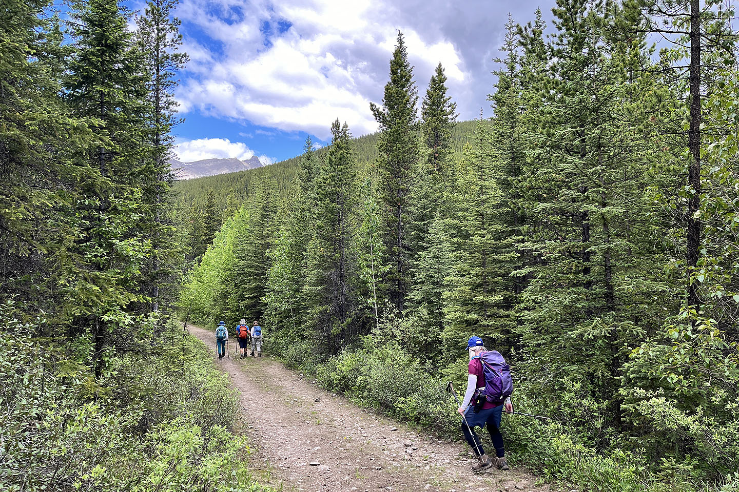
There's not much to see along the trail
 We got a brief view of the ridge before the trail drops down to cross Baril Creek
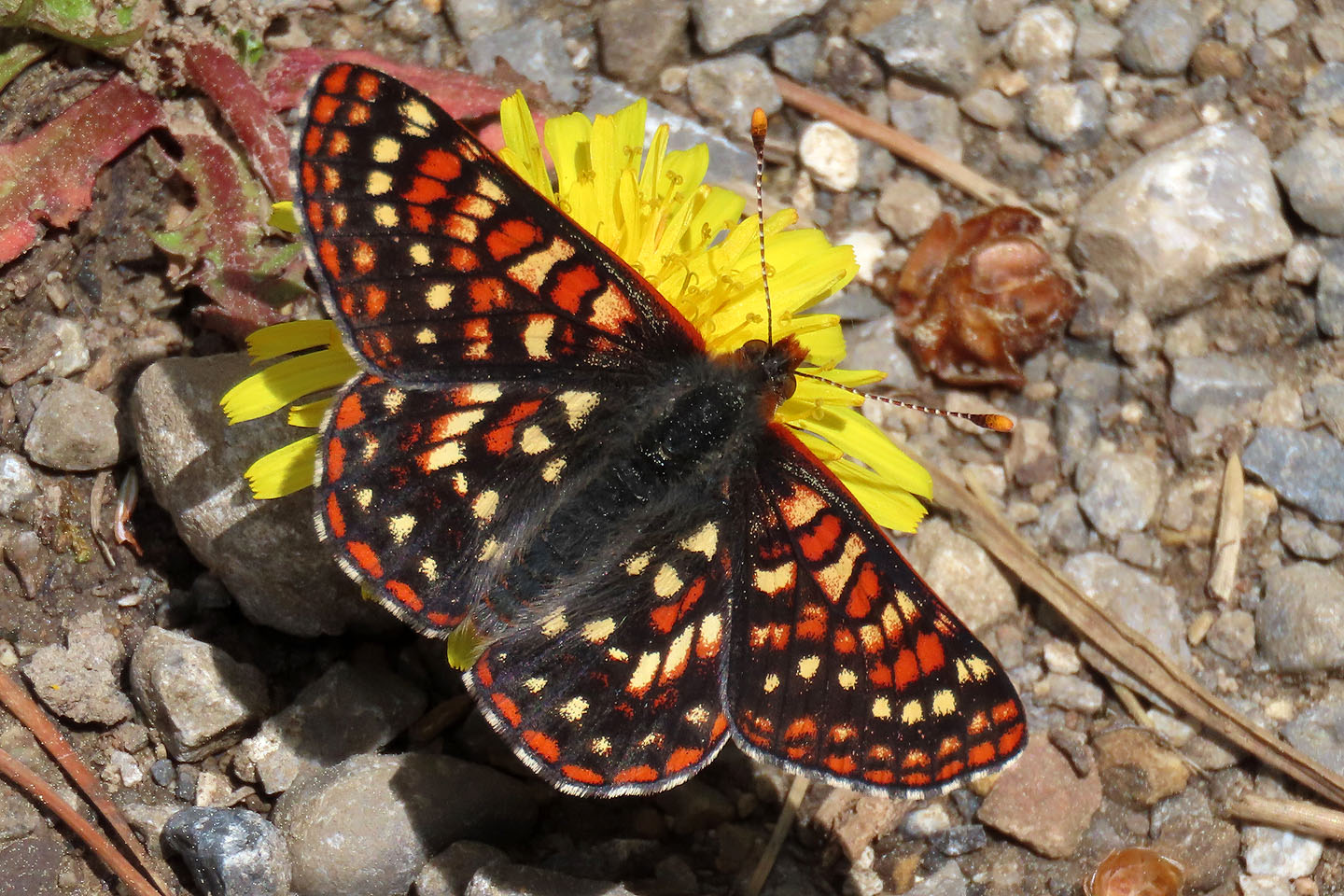 A checkerspot on a false dandelion
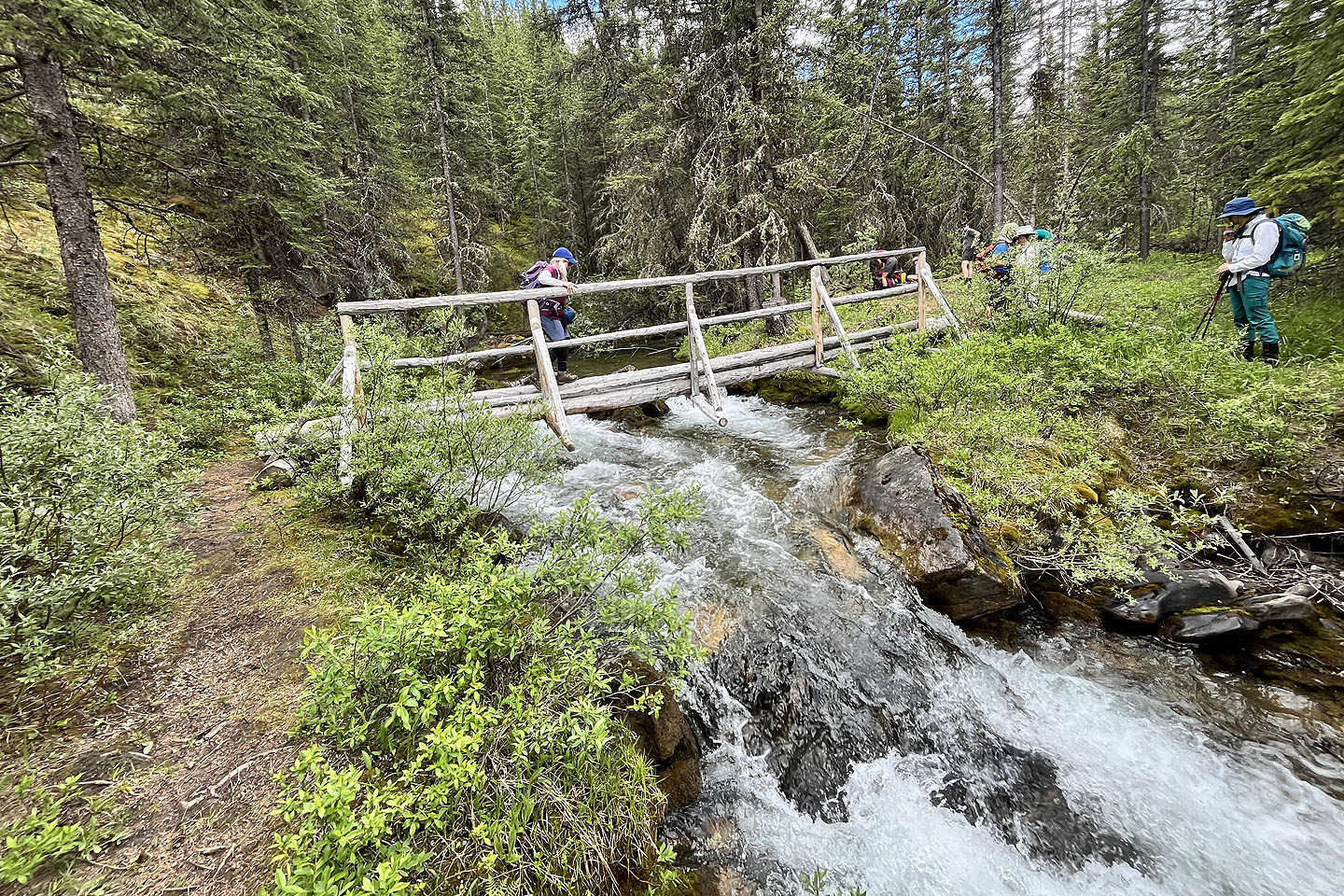 Christine crosses the bridge. Mouse over to see a nearby unstable log bridge.
 After the bridge we stopped to take photos of Indian paintbrush (mouse over)
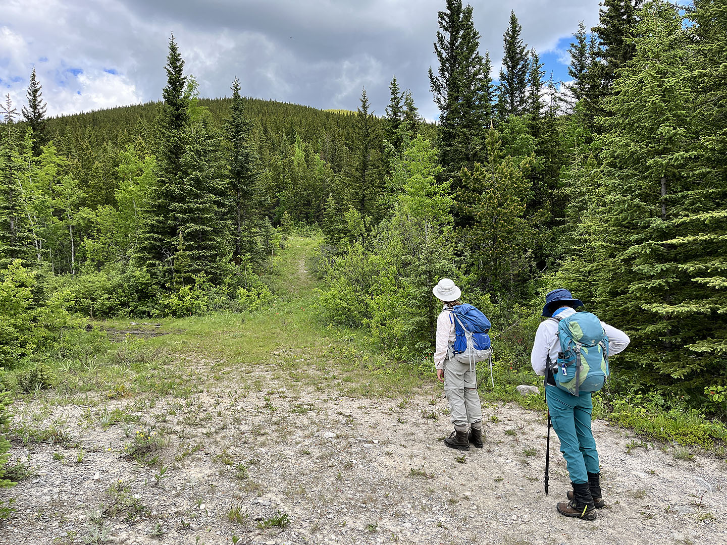 Baril Creek trail keeps left, but we turned right and headed to the end of the ridge
 The rocks were part of a campsite
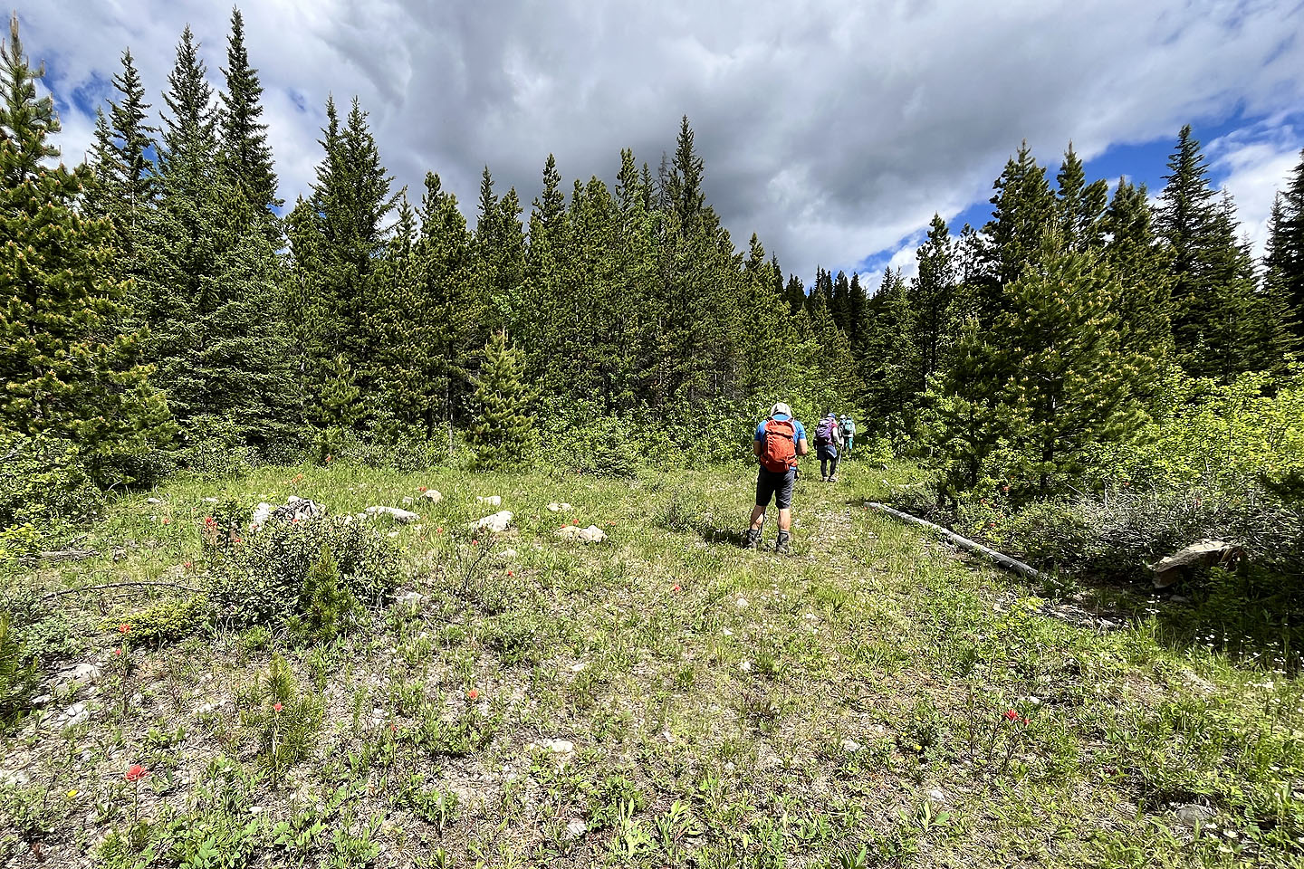
 We took a shortcut that avoided a switchback and returned us to the road
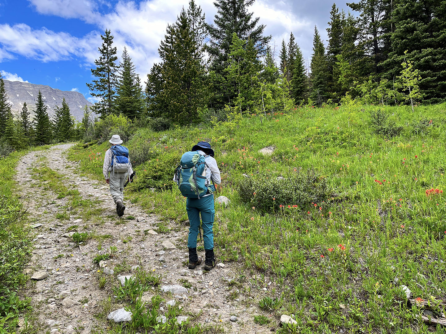
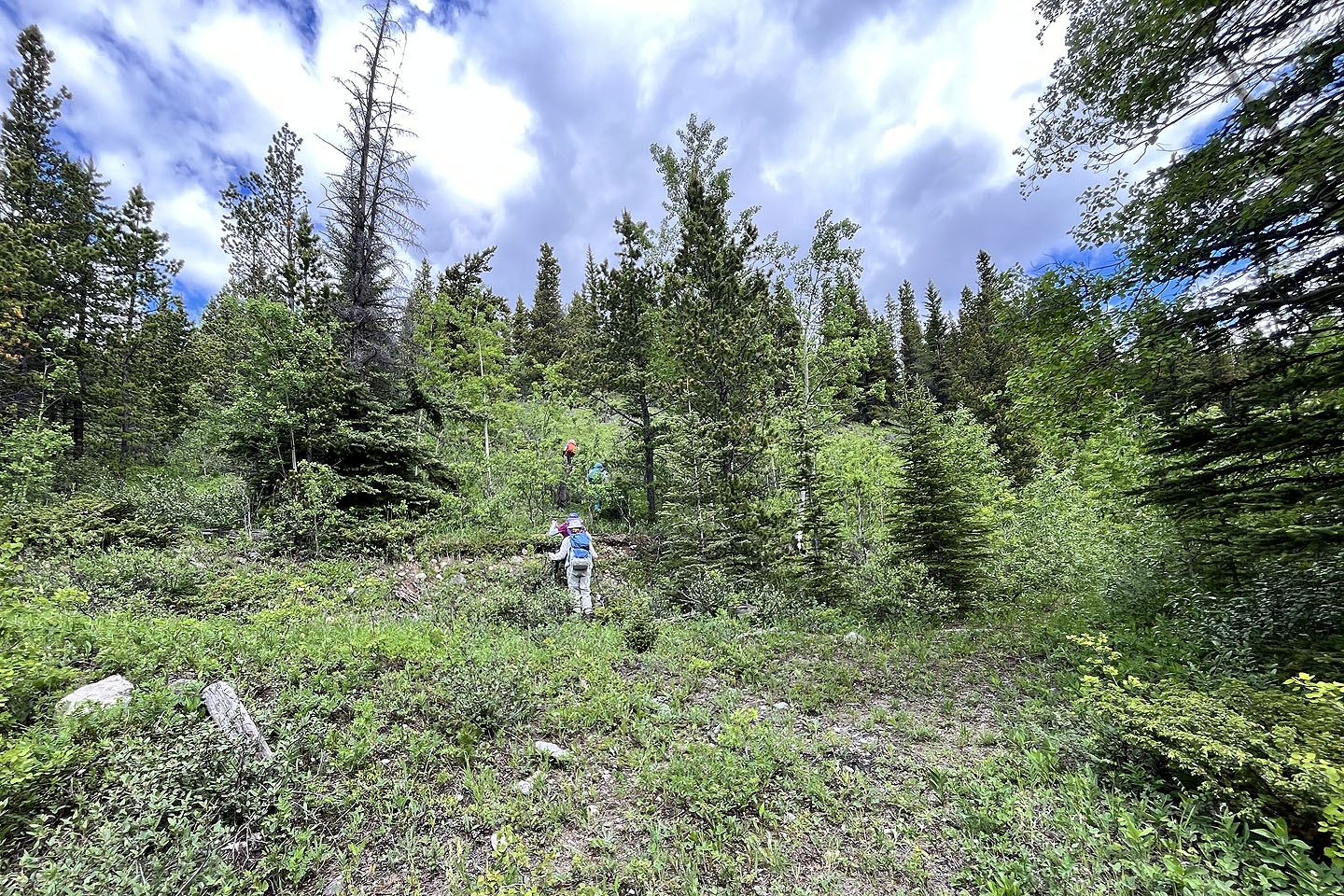
 Starting up the slope after leaving the road
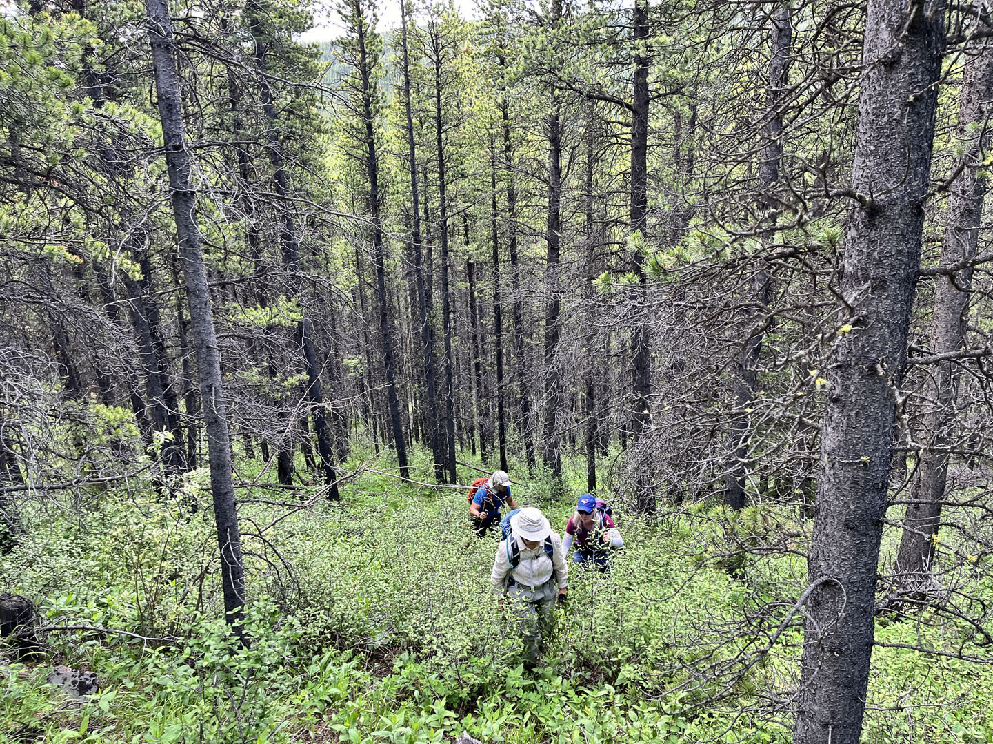
 We came across a few glades as we climbed
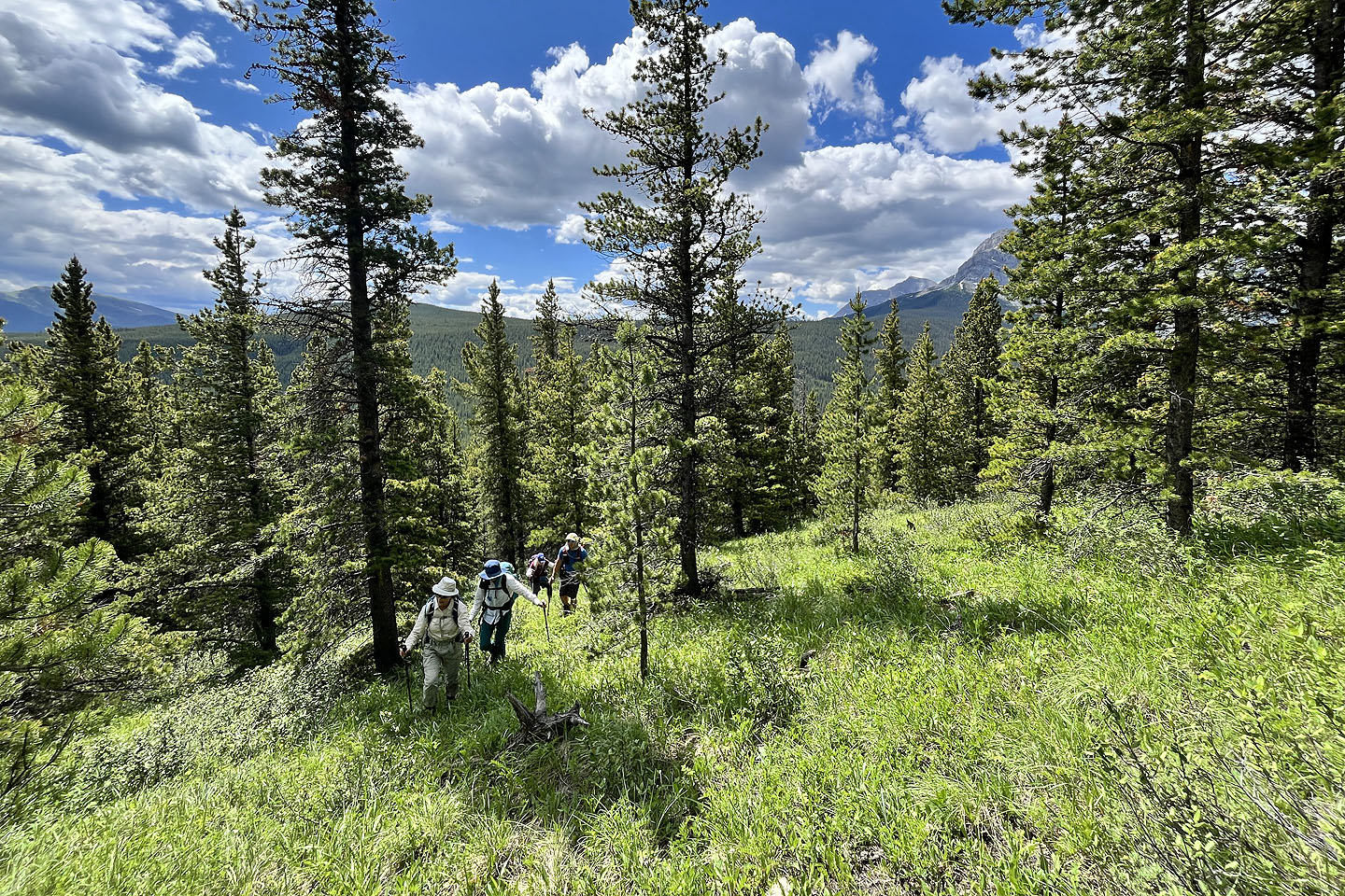
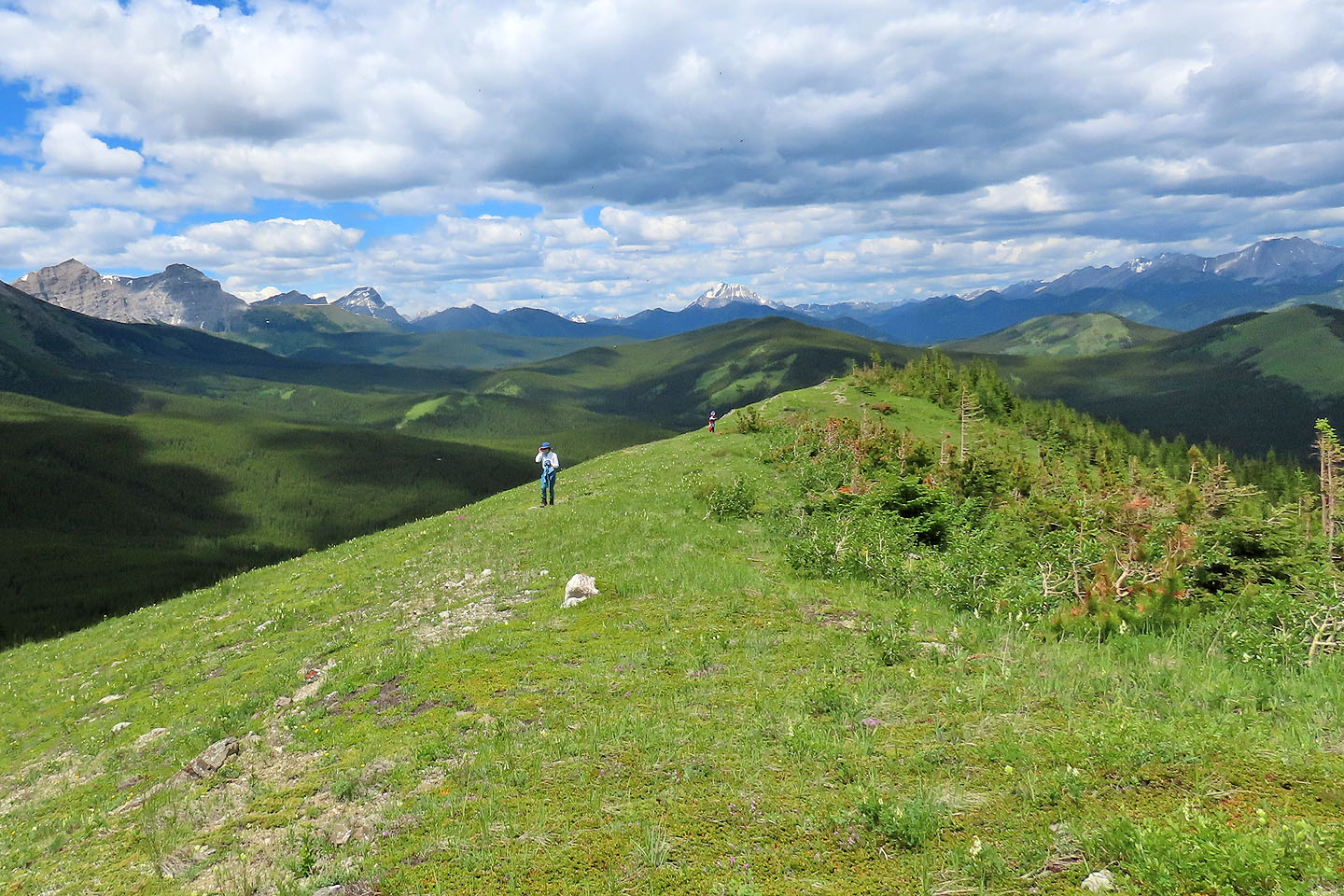
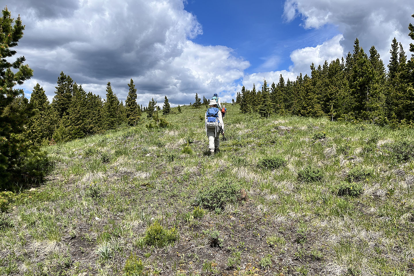 We headed to the summit after breaking out of the trees
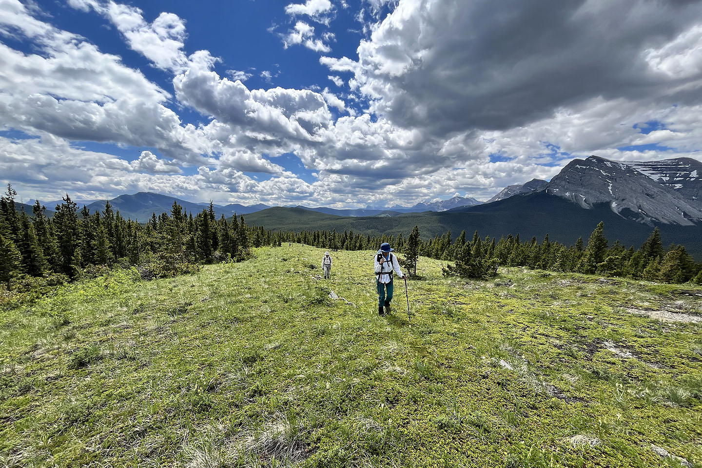 Looking back
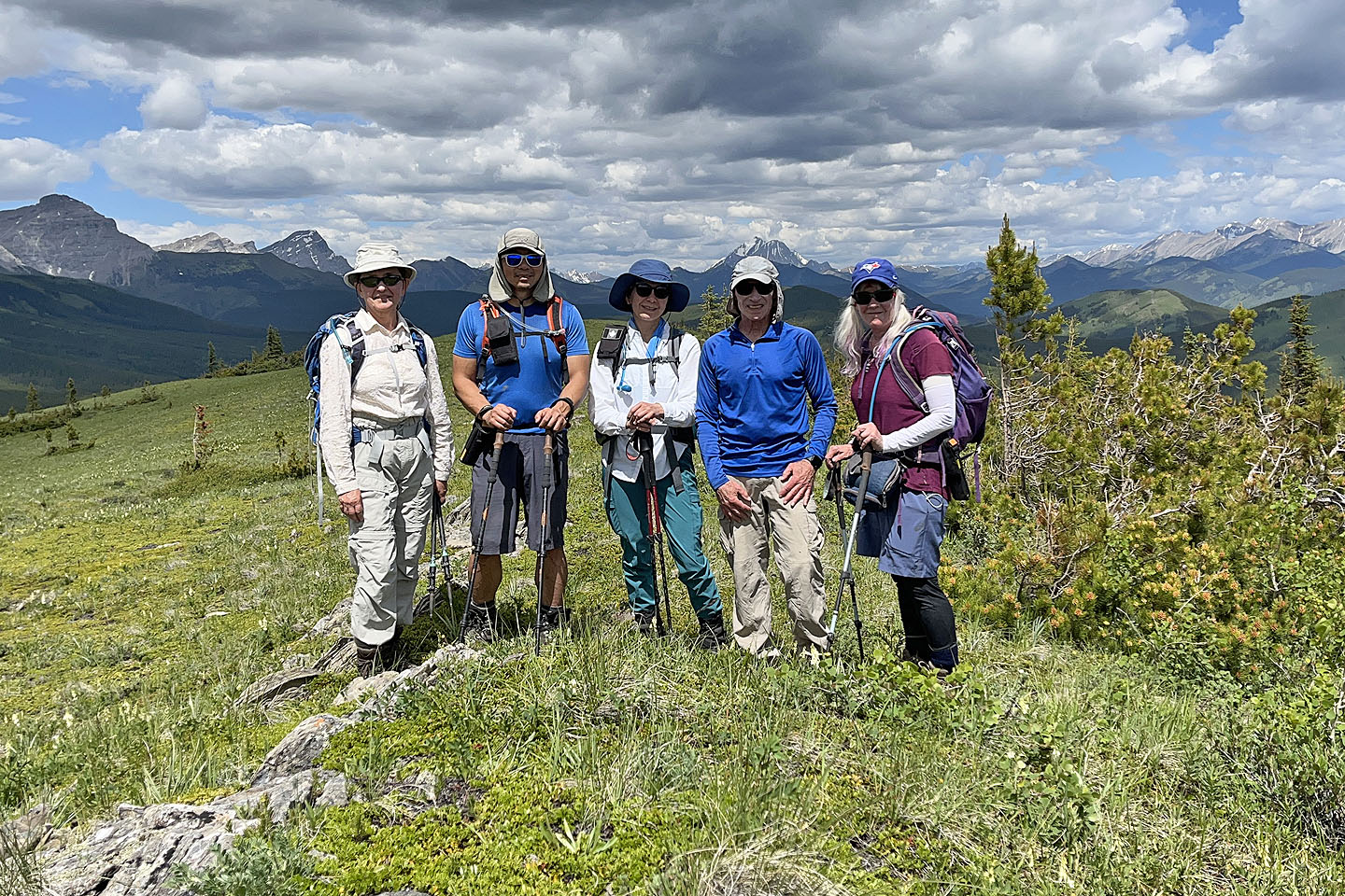 Zora, Jonathan, Tomiji, me and Christine on the summit
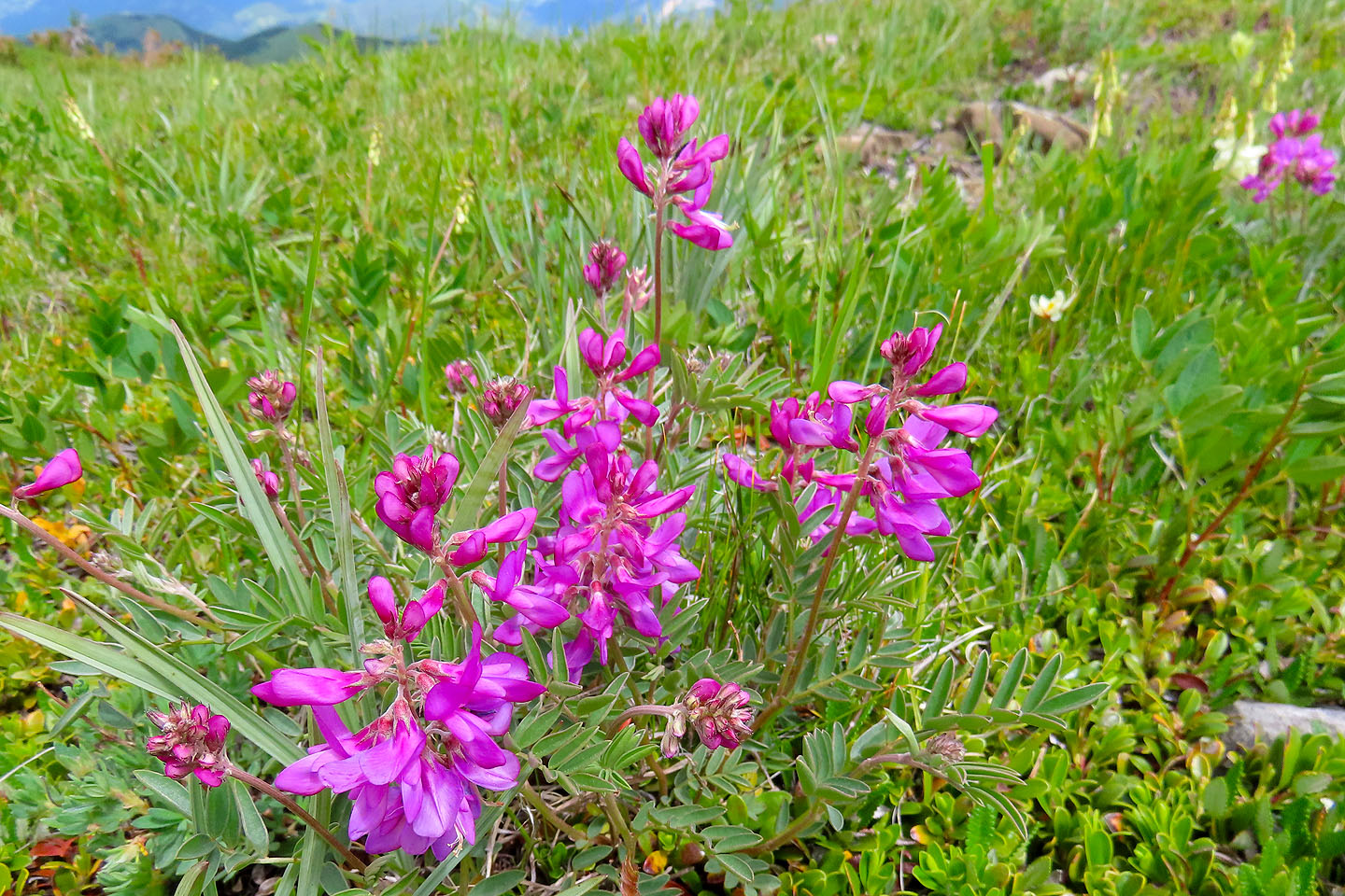 There were a variety of wildflowers on the ridge
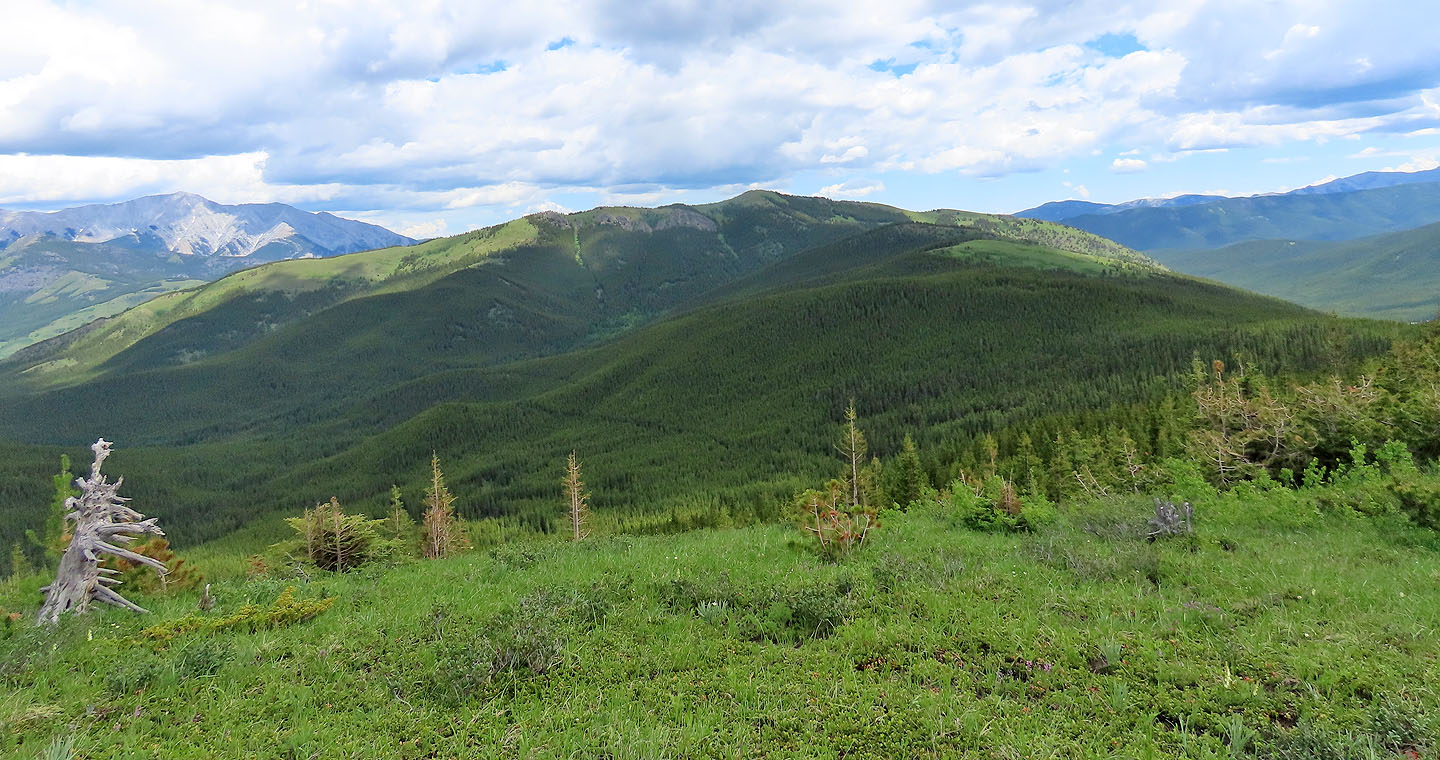 Coyote Hills
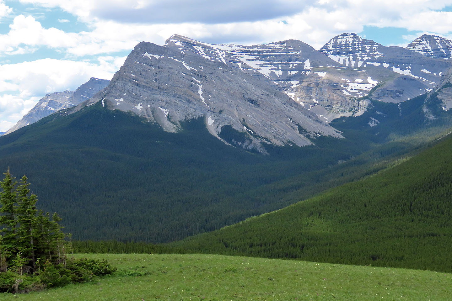 Baril Peak sits in front of Mount Cornwell
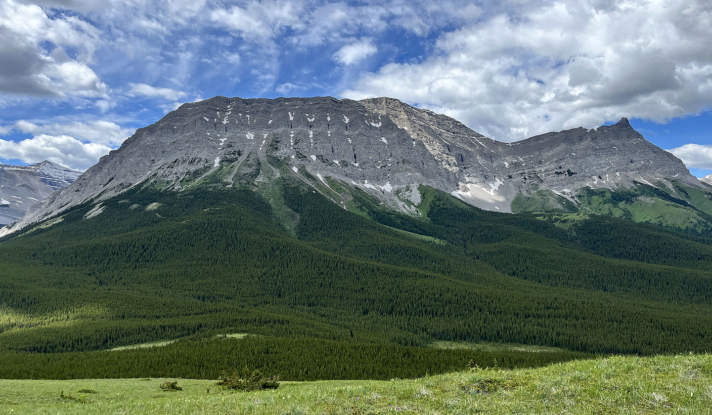 Armstrong Mountain
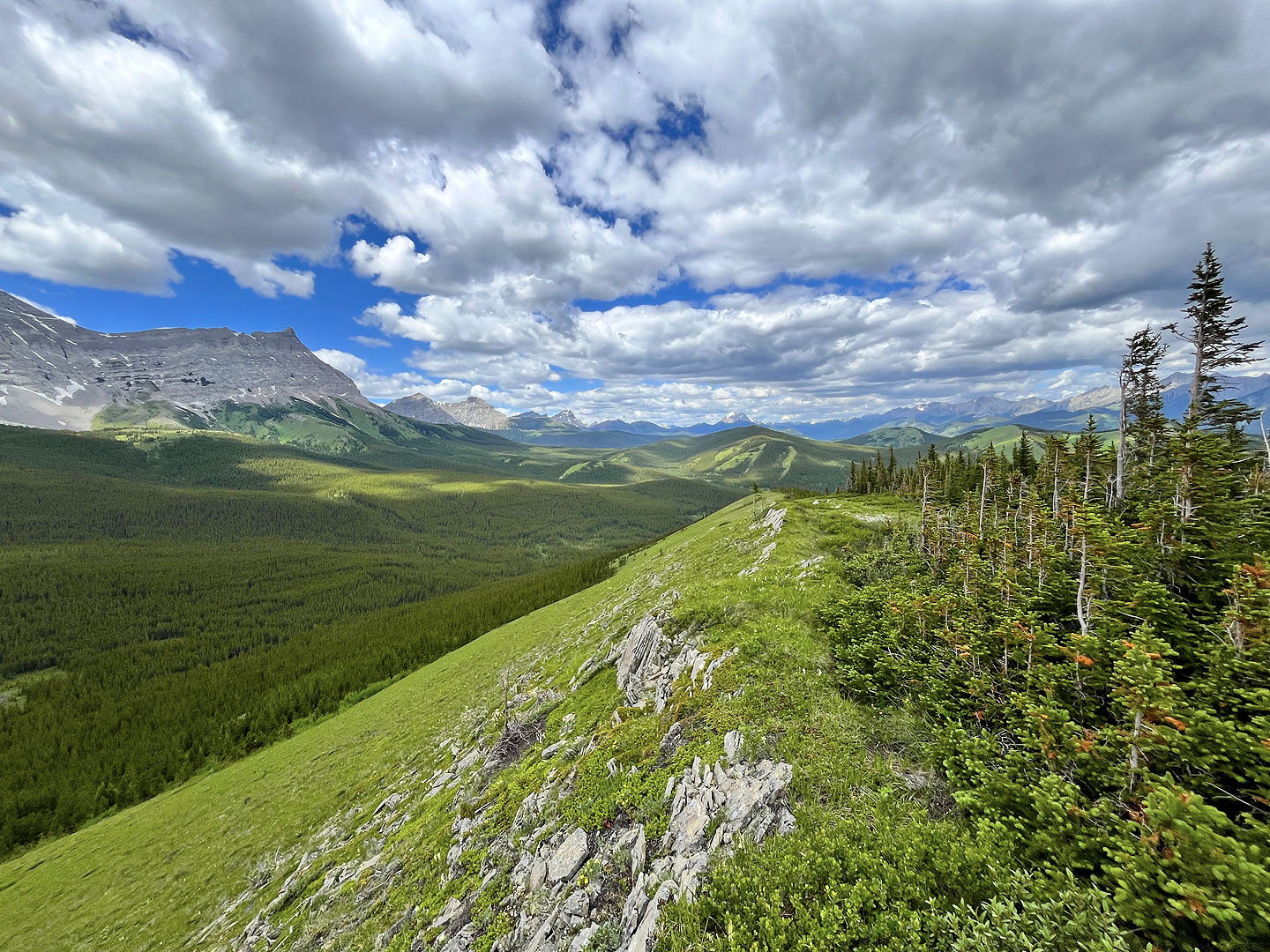
 Tomiji, Christine and I walked hundreds of metres down the ridge. Mist Mount in the centre (mouse over).
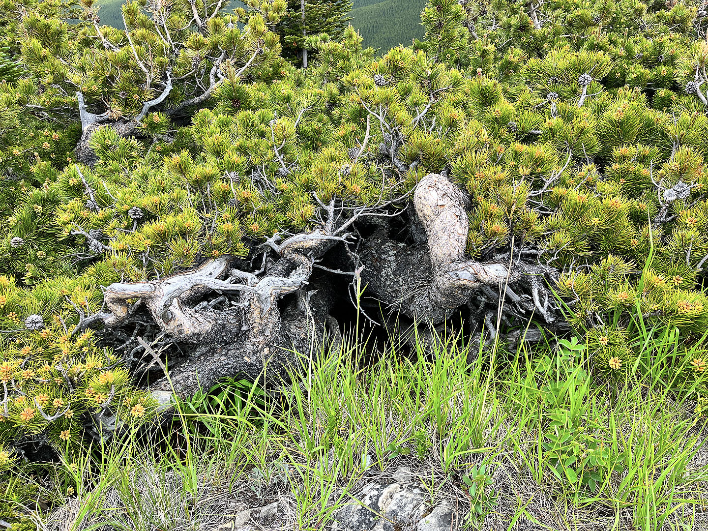 An old pine tree refuses to grow tall
Pine trees were primed to release pollen
 Looking back
 The open ridge continues for a long way, but we turned around here. In the centre are Strawberry Hills.
82 J/7 Mount Head