bobspirko.ca | Home | Canada Trips | US Trips | Hiking | Snowshoeing | MAP | About
Southfork Lakes
Castle Provincial Park, Alberta
September 12, 2021
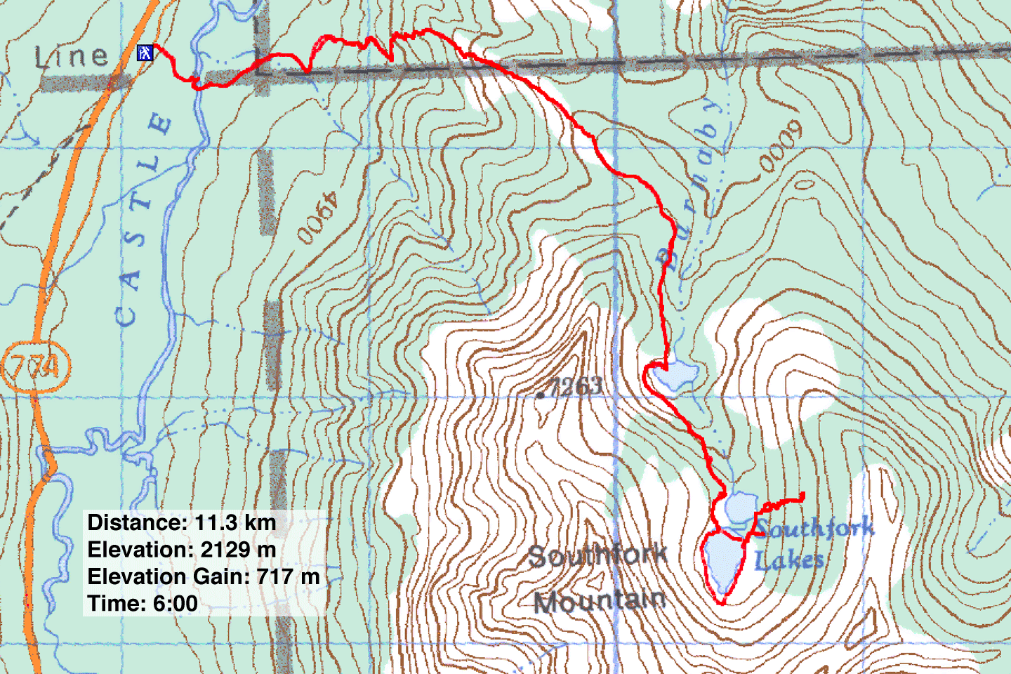
Distance: 11.3 km (7.0 mi)
Cumulative Elevation Gain: 762 m (2500 ft)
The trail to Southfork Lakes not only accesses three indigo lakes nestled in a mountain valley, but it can also be used as a springboard to higher points. Dinah and I climbed Southfork Mountain from the lakes in 2008, but we returned, along with Zora and Jonathan, to reach another high point. Unfortunately, gale-force winds caused us to abandon our objective, although we managed to climb high enough to look down at the lakes.
The trailhead we used years ago is now closed, and a new trailhead – complete with signs – was created. We parked by the trailhead and walked a short distance down a road to Castle River. With water just above our ankles, fording was easy. A sign on the other side directed us back on the trail.
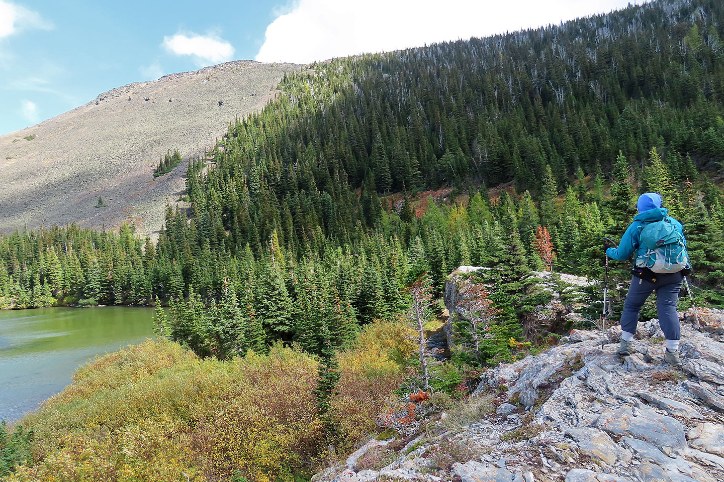
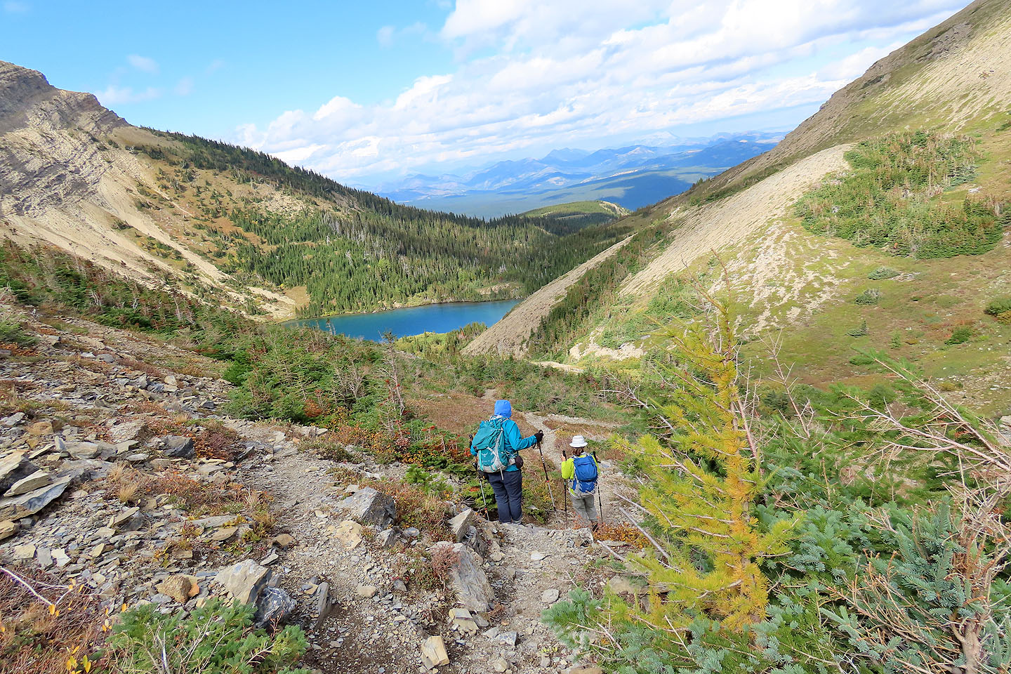
We followed the trail as it led through the forest and up an open ridge. Just when we were enjoying the views, trees again gripped the trail. The trees didn't recede until we passed the first lake, Barnaby Lake, and reached Lower Southfork Lake. Here in the open, we felt the force of the wind. As bad as it was in the basin, we realized it would be formidable on a ridge. We had to give up our plans to reach a high point. We crossed the strip of land separating the two Southfork Lakes and had lunch in the shelter of trees.
After lunch, we decided to start up a nearby talus slope. Because of arthritis, Dinah had trouble on the big rocks. She could climb but descending was difficult. We soon turned around although Jonathan and Zora continued climbing. Dinah and I returned to our lunch spot in the trees. We waited while Jonathan and Zora reached the ridge crest only to turn back because of the brutal wind.
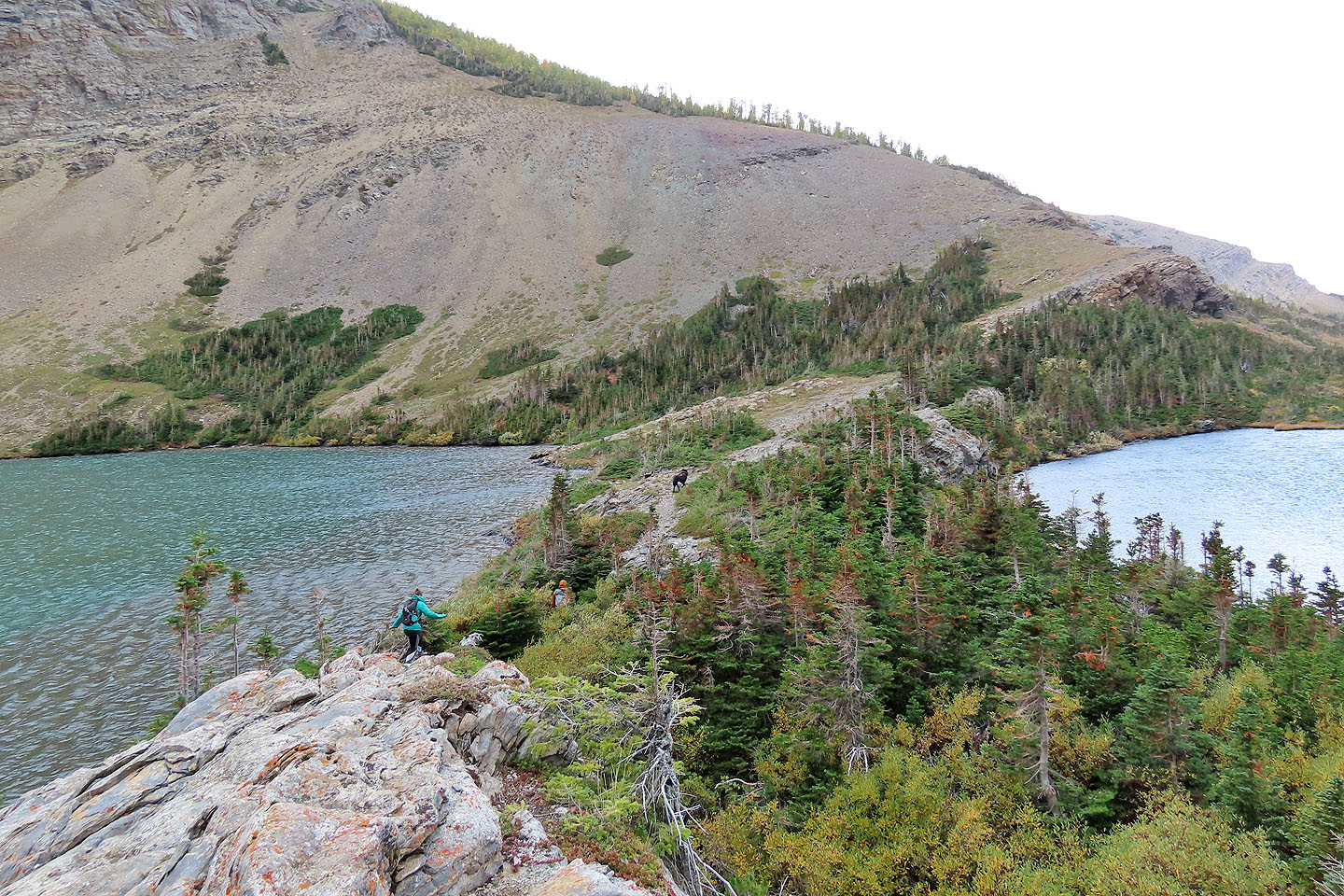
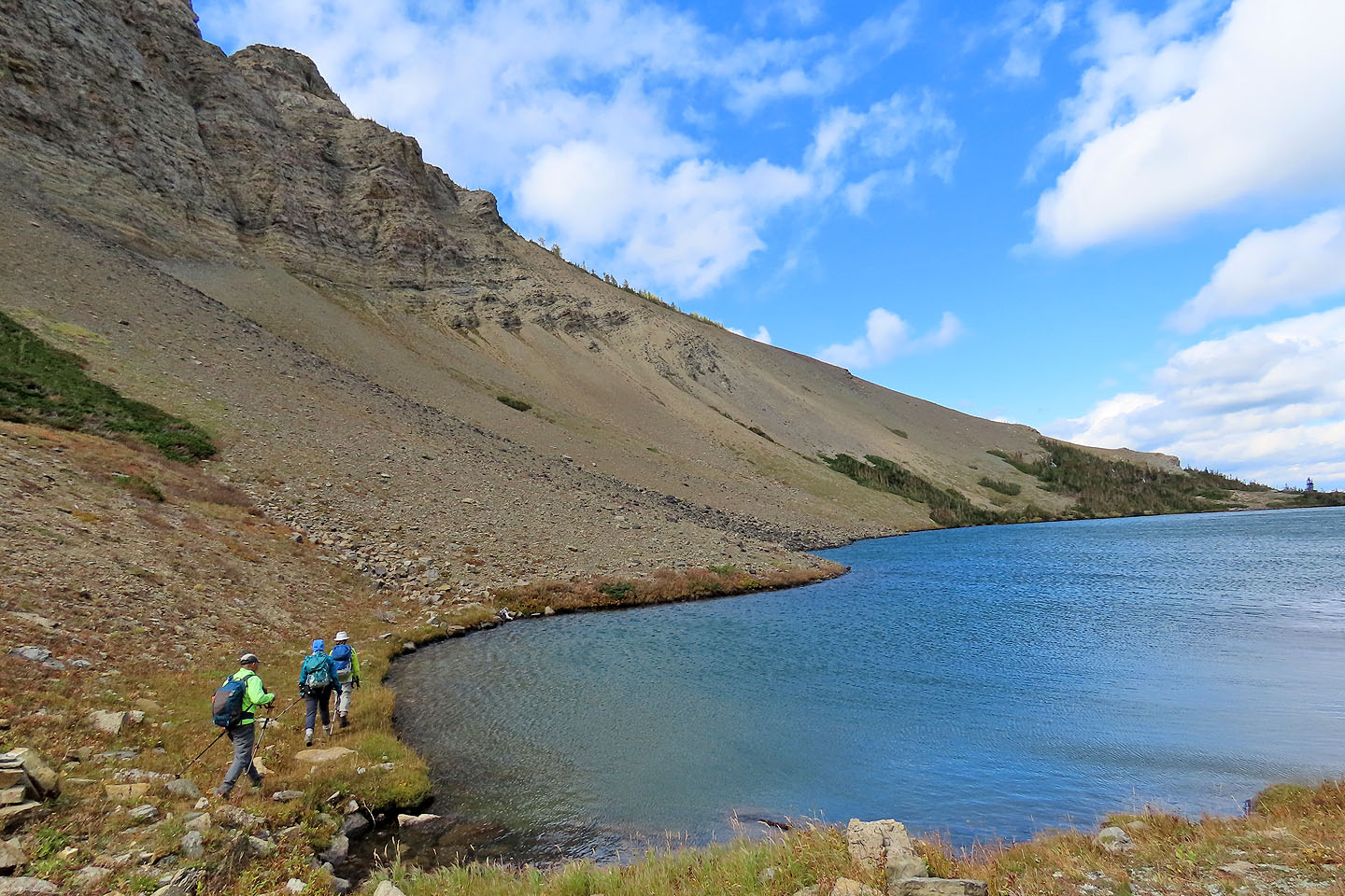
After regrouping, we followed the shoreline trail clockwise around Upper Southfork Lake. It wasn't an easy trail because of dense bushes in spots, but it got us back to the main trail. We followed it back to the trailhead.
Although we didn't reach our objective, we all enjoyed exploring the lakes, and of course, we can come back another day to try our objective. We just have to hope it's a calmer day!
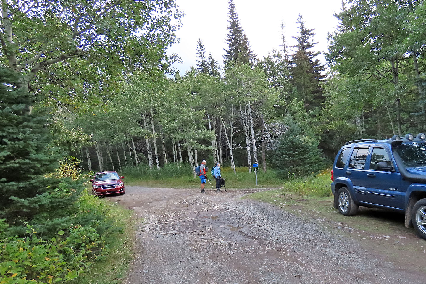
A sign marks the trailhead
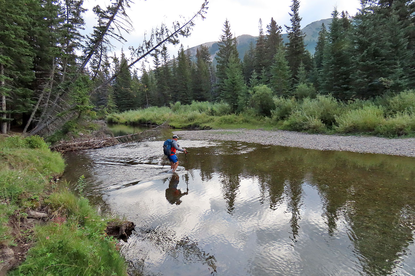
Jonathan crosses Castle River
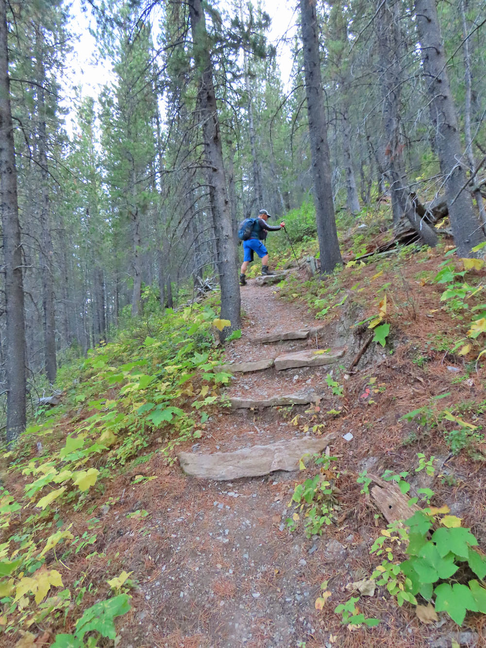
The trail is well maintained
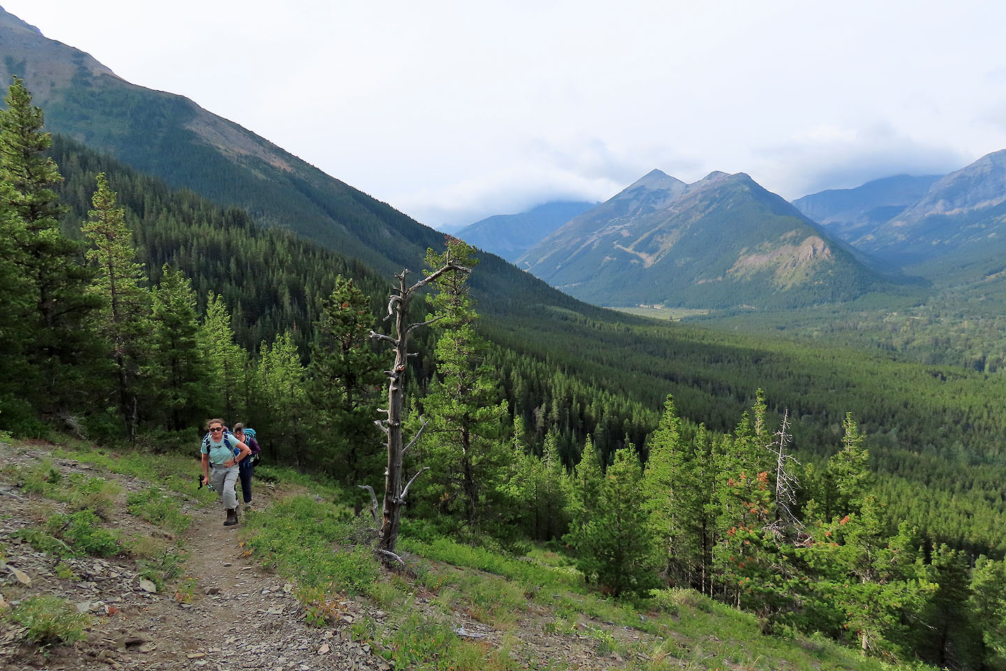
The trail soon comes out of the forest. Behind is Mount Haig and Gravenstafel Ridge.

St. Eloi Mountain in the background

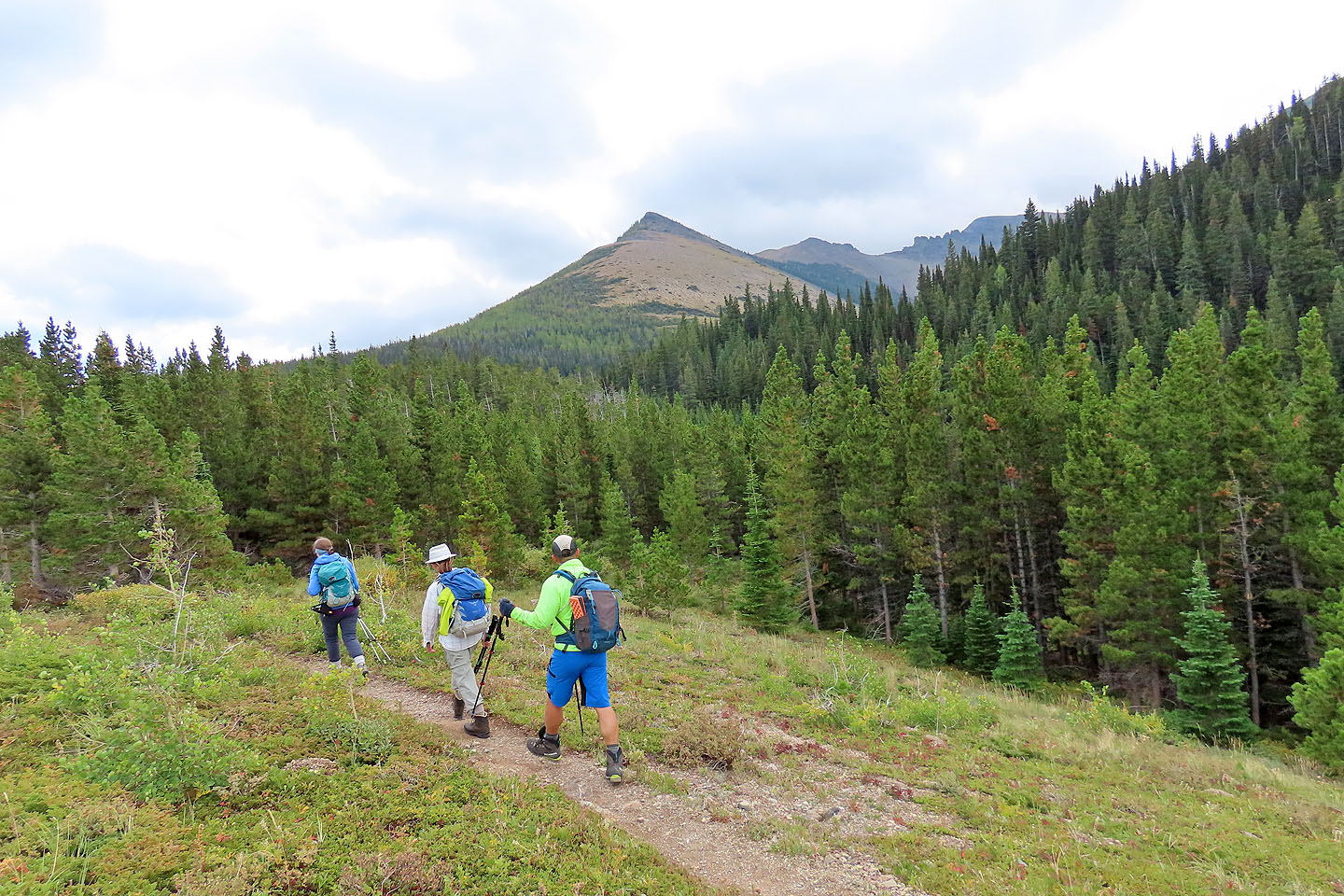
The grade eased and Southfork Mountain appeared on our right
The trail runs back into the trees
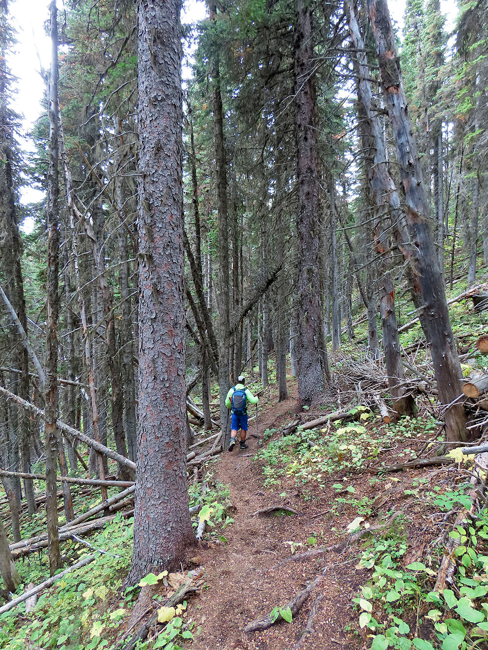
Hiking through the forest
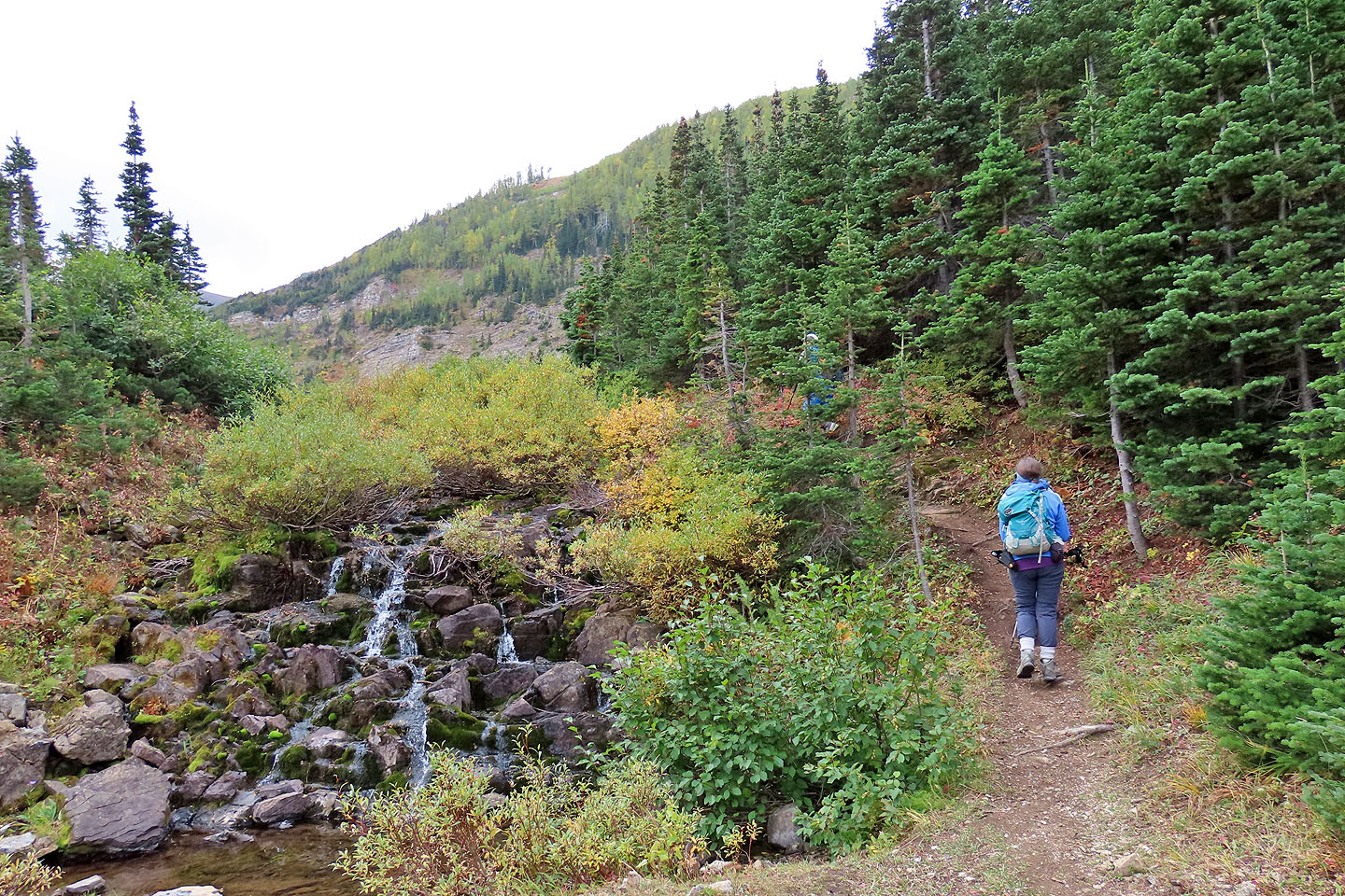 Just before the first lake, we passed a small cascade
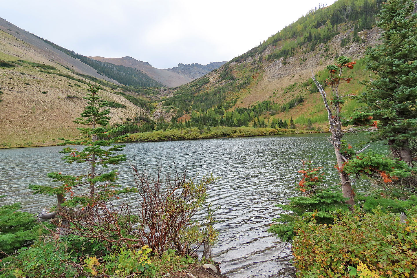
Barnaby Lake
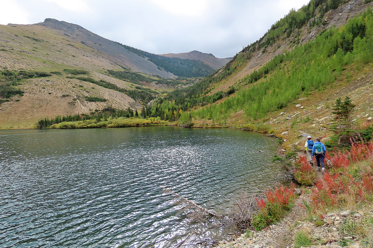
We followed the trail around the lake
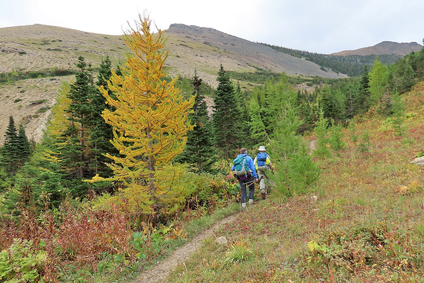
A few larches were turning yellow
Looking back at Barnaby Lake
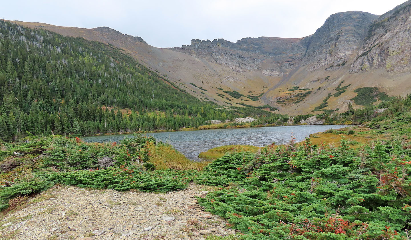
Lower Southfork Lake
From here, we crossed to the other side of Southfork Lakes
Looking back after crossing to the other side
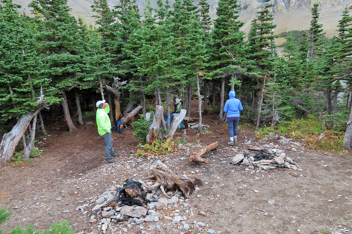 We found a spot out of the wind to have lunch
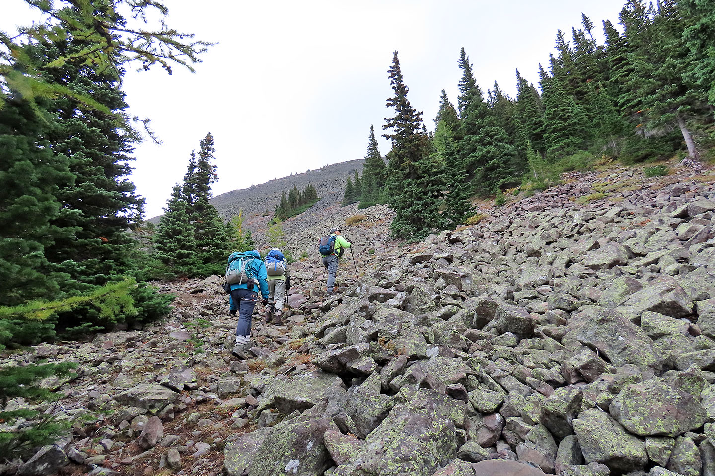
Starting up the talus slope
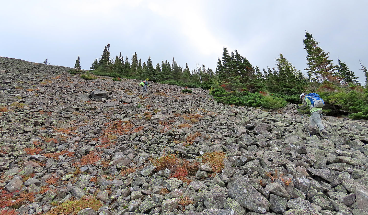
Jonathan and Zora continued to the ridge crest
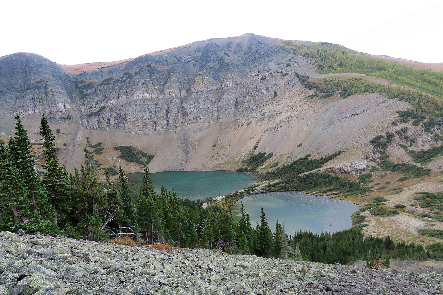
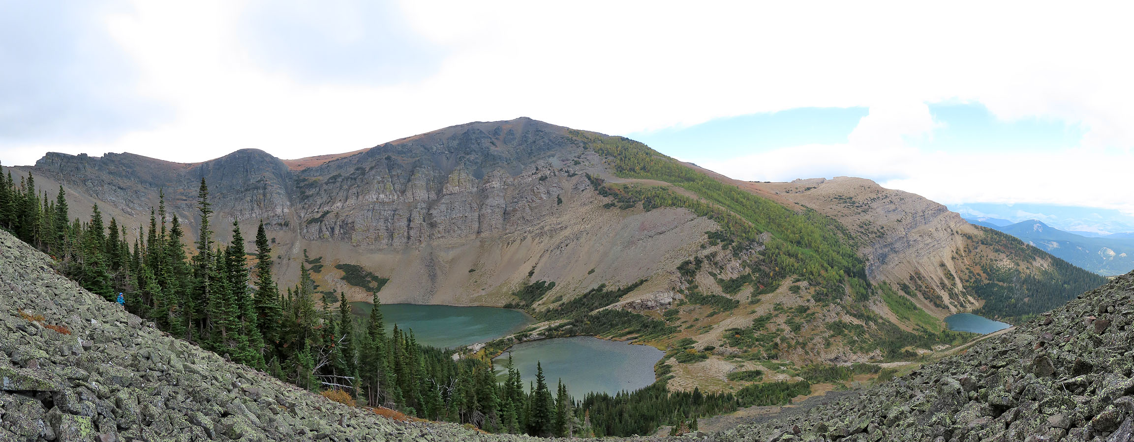
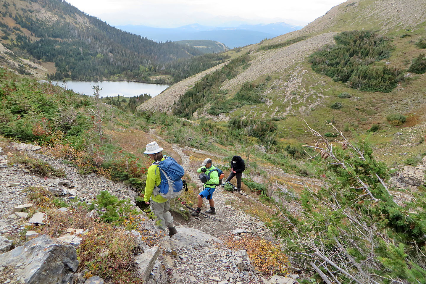
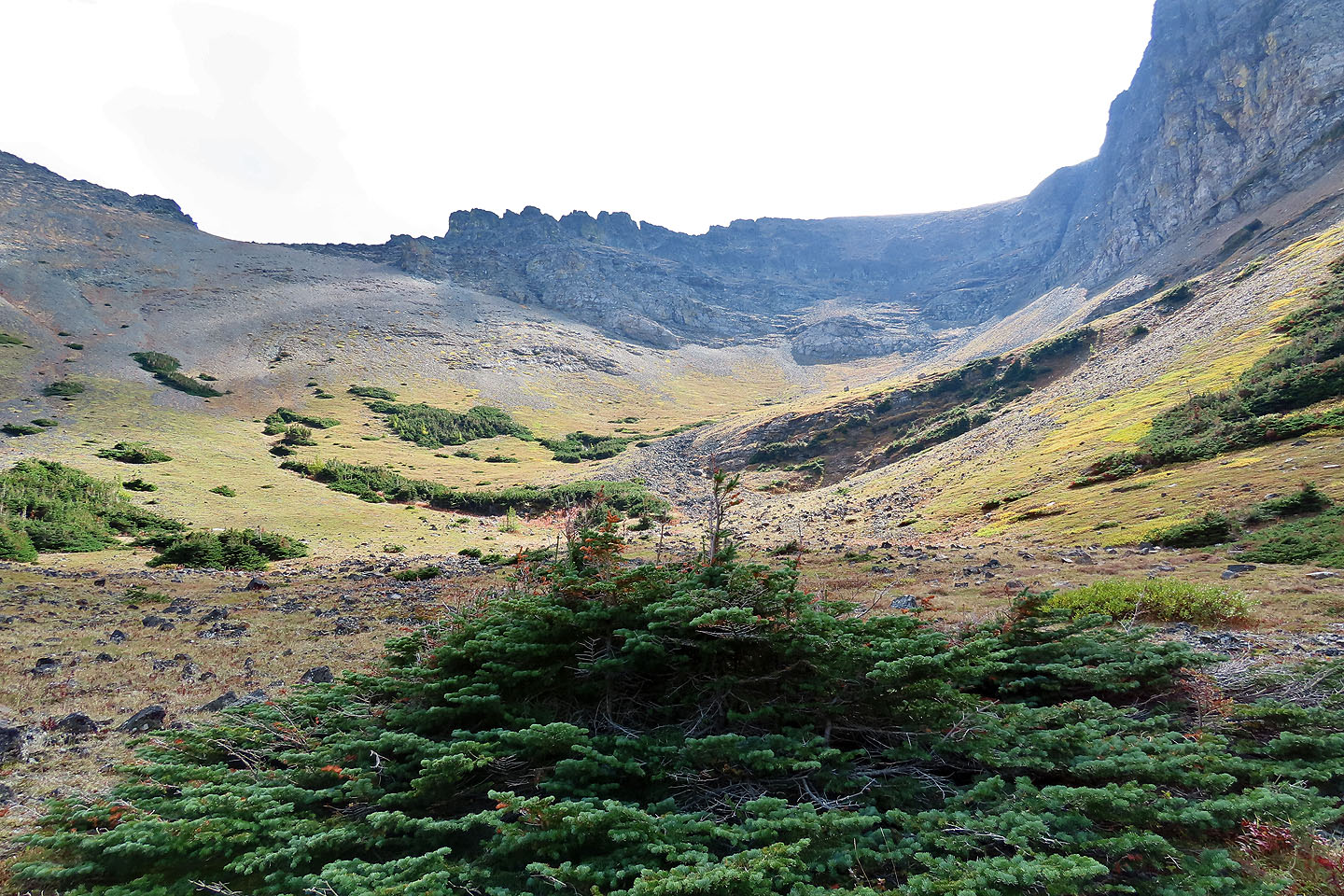
Looking down at Southfork Lakes
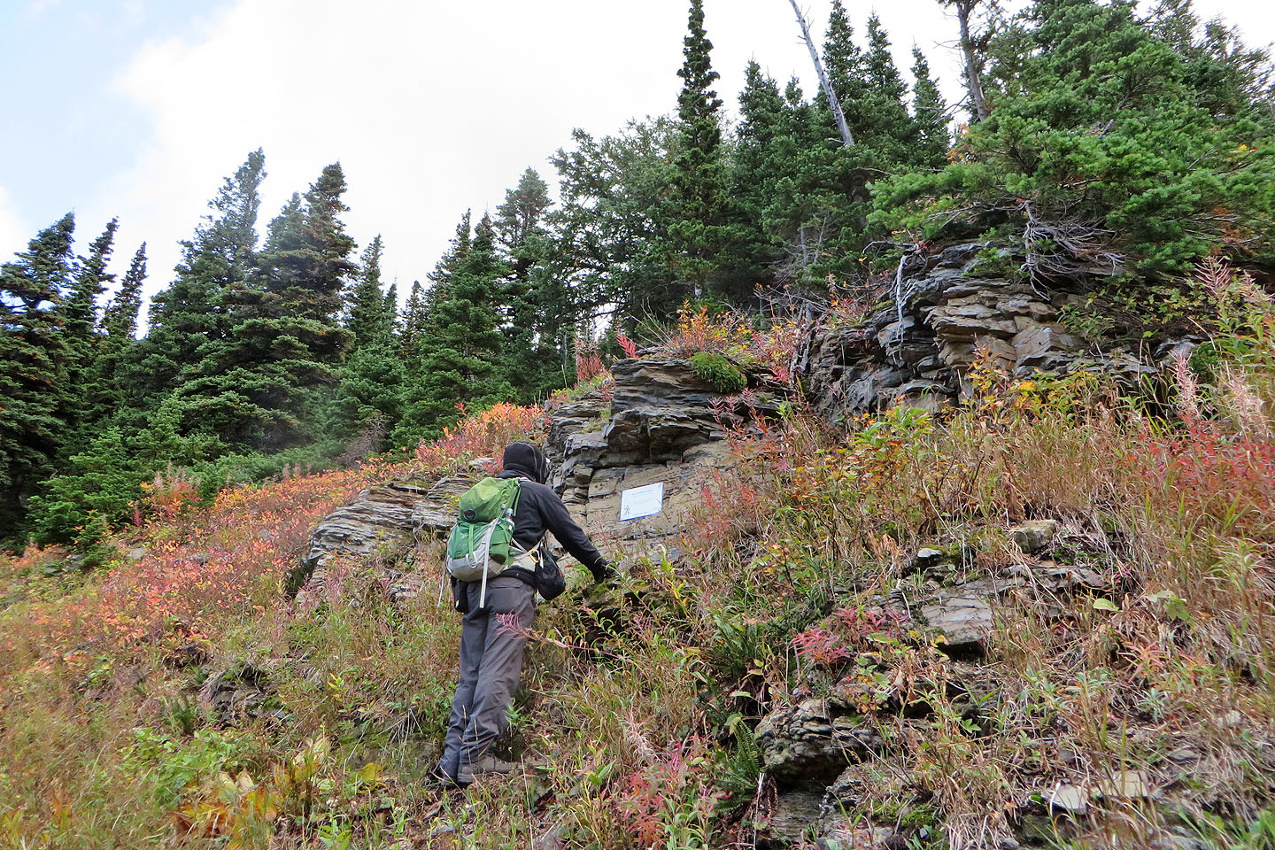
We stopped at the memorial (mouse over to read)
We watched Jonathan (mouse over) come down. The memorial is the white spec right of centre.
Looking at the basin at the end of Upper Southfork Lake
Heading back along the lakeshore
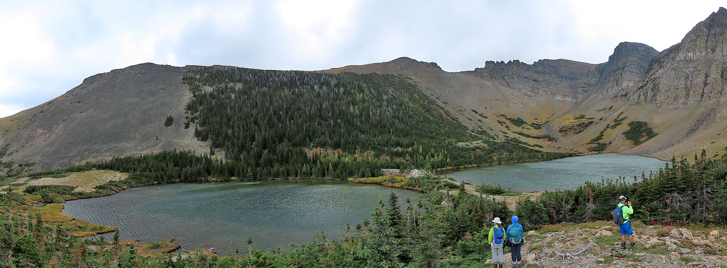
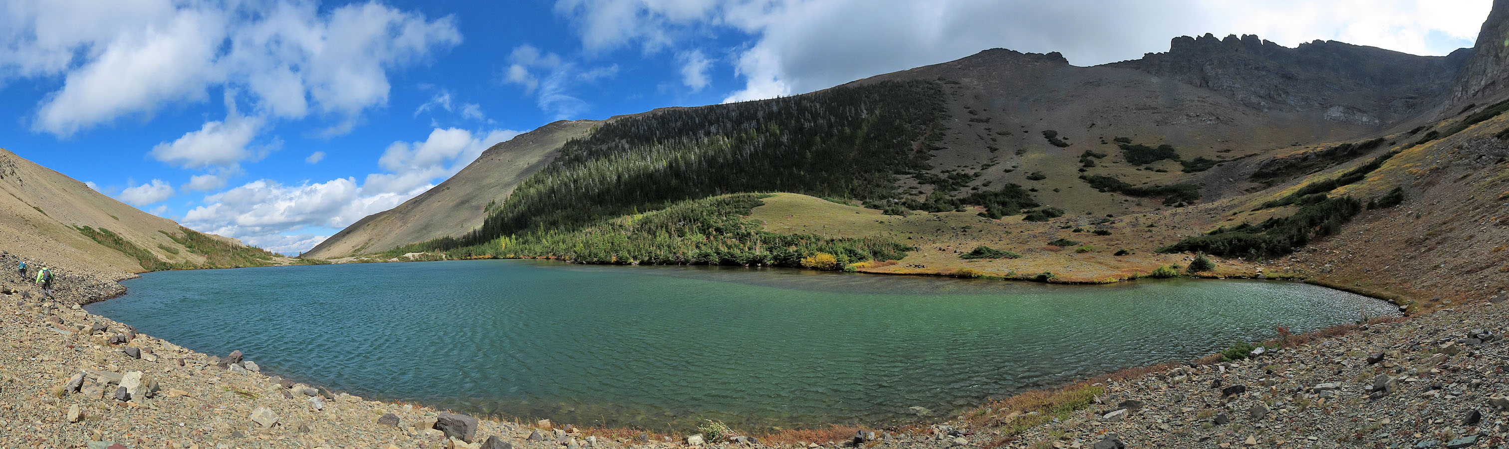 Panorama of Upper Southfork Lake
Back to Barnaby Lake
82 G/8 Beaver Mines