bobspirko.ca | Home | Canada Trips | US Trips | Hiking | Snowshoeing | MAP | About
Kindersley Pass - Sinclair Creek Loop
Kootenay National Park, B.C.
August 15, 2009
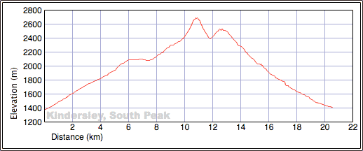
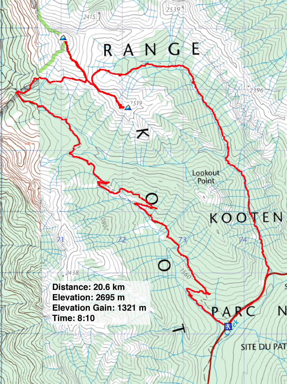
Distance: 20.6 km (12.8 mi)
Cumulative Elevation Gain: 1478 m (4849 ft)
Recent heavy rains and unfavourable weather had Sonny, Dinah and I looking for an easy trip, so we decided to hike to the Kindersley-Sinclair col. Starting at the Kindersley Pass trailhead, the route climbs northwest to Kindersley Pass before swinging east to the Kindersley-Sinclair col. For added interest, we would ascend unnamed peaks on either side of the col before taking the Sinclair trail back to the highway. (Later we realized we followed the route outlined in Hikes Around Invermere.)
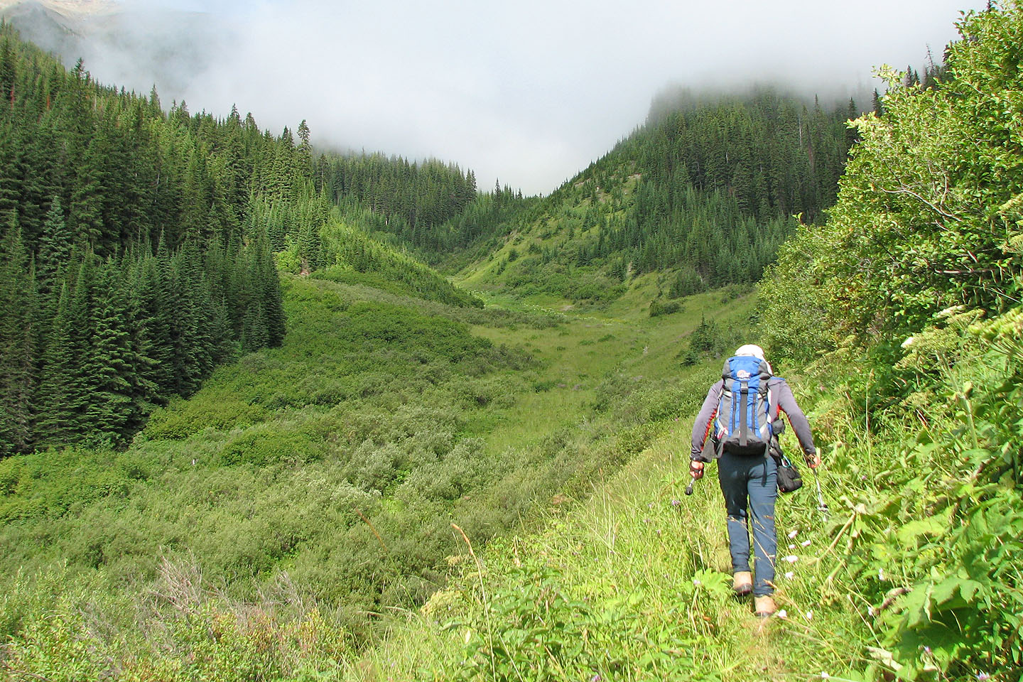
We had a discouraging start. As we went up the trail, our pants became soaked by the encroaching wet vegetation. We saw little scenery; even when we reached an opening, rising mist obscured our view. But by the time we arrived below the pass, the sky had cleared somewhat.
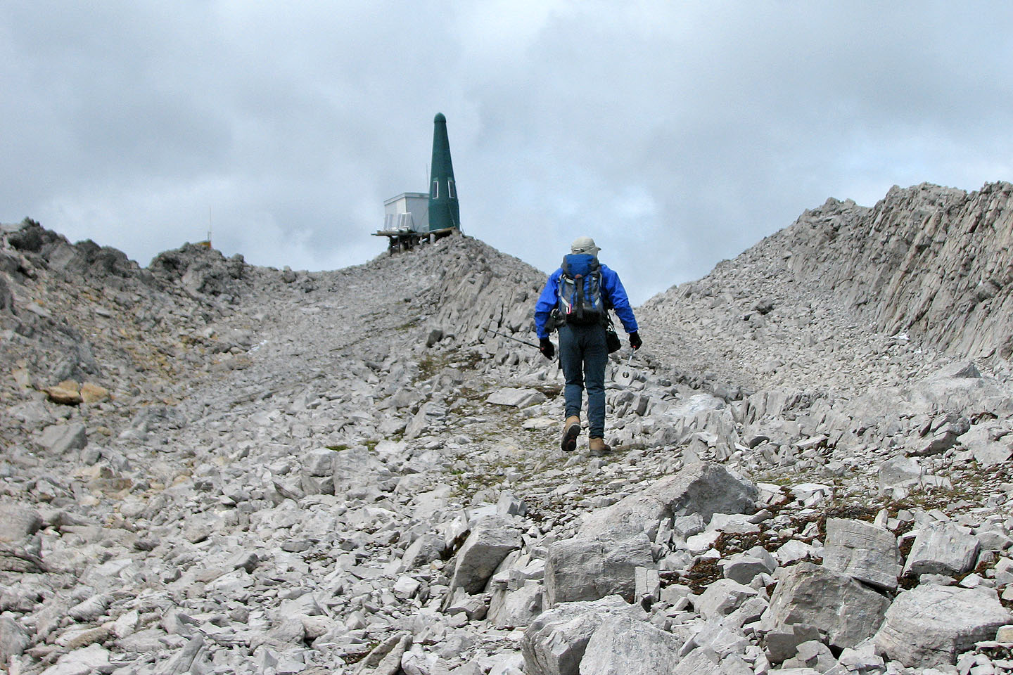
After the pass, the trees thinned, and the views opened up. At Kindersley-Sinclair col, our attention shifted to the unnamed peak rising 300 m on our left, south of Mount Kindersley (called "Kindersley SE4 on Google Earth). It resembled little more than a rock pile, and its gentle grade was more of a walk-up than a scramble. As we crested a rise, we were surprised and disappointed to find a green tower – a radio repeater – and a helipad on top.
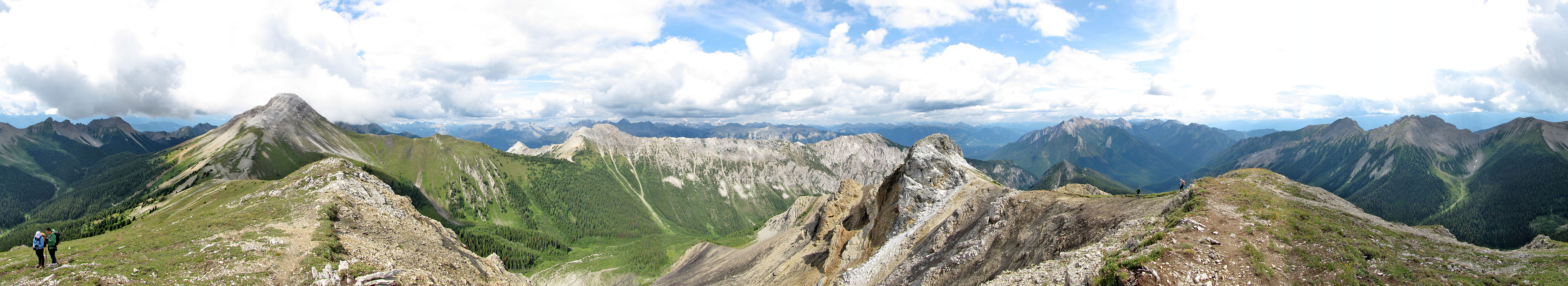
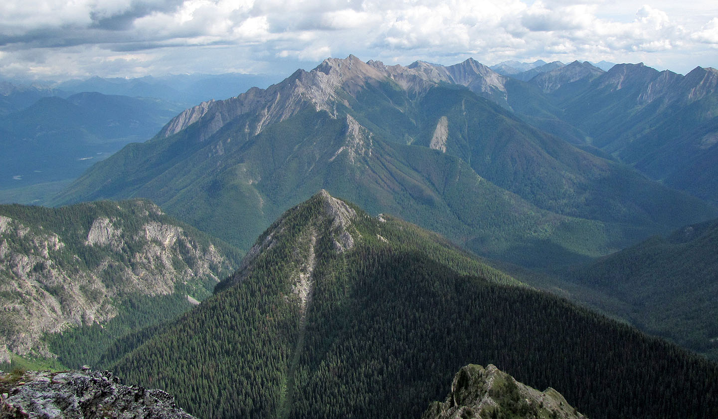
After adding layers to brace ourselves against the bitter cold, we spent several minutes surveying the surrounding peaks before descending. We weren't done climbing yet though. Sonny convinced us to ascend the smaller peak south of the col. Rising only 125 m above the col, the short trip was worthwhile. At least there was no tower on this peak! (The above panorama was taken from here.)
As we started back down, the weather quickly deteriorated. Snow pellets stung our faces, and then partway down Sinclair Trail, it began to rain. No matter, since there were few views.
Even though we only ascended a couple of unnamed peaks, our GPSs indicated SE4 was within a couple of metres in height of the impressive Mount Kindersley.
GPX and KML Tracks
Sonny's Trip Report
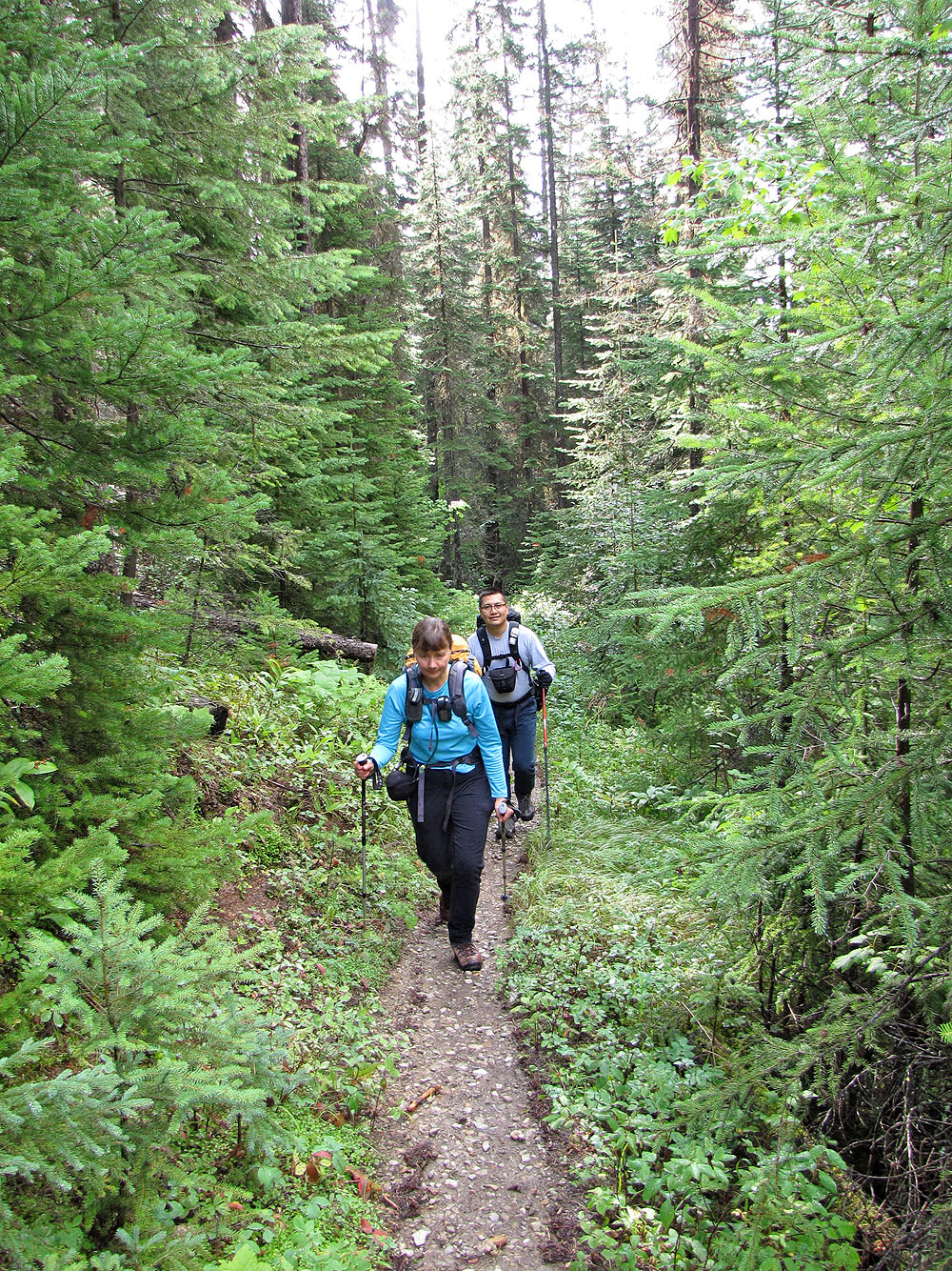
Kindersley Pass Trail
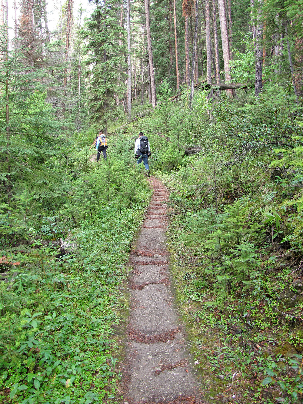
Recent rain created a washboard effect on the trail
The trail passes through a couple of pleasant glades in the forest
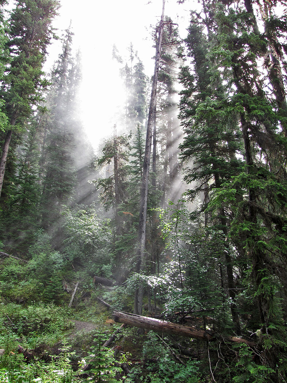
Sunlit mist
We passed a hanging valley
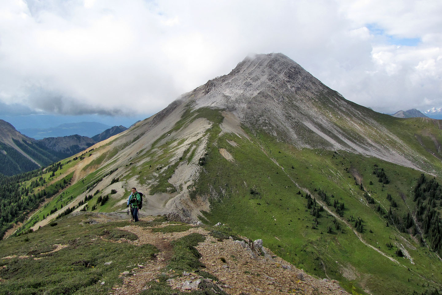
SE4 lies northwest of the Kindersley-Sinclair col
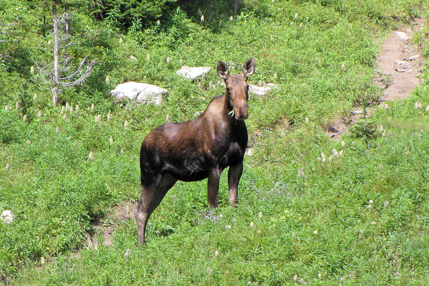
A moose feeds below Kindersley Pass
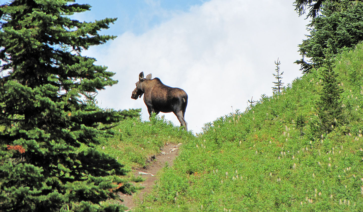
The moose reaches the pass before us
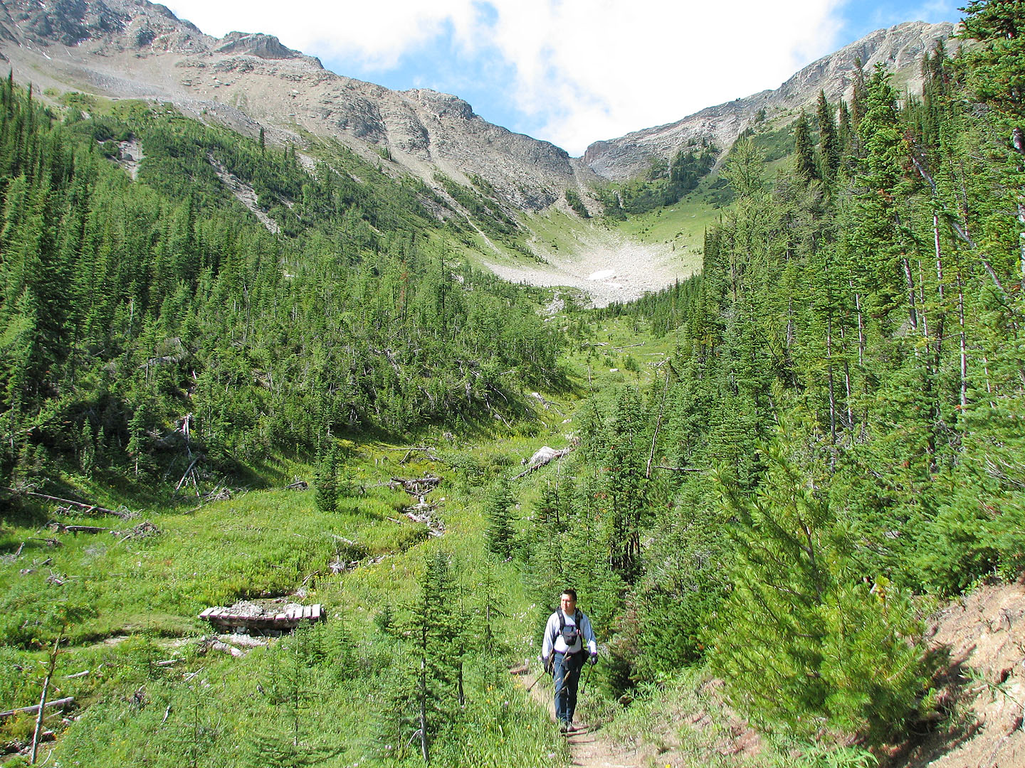
There is little to see on the other side of the pass
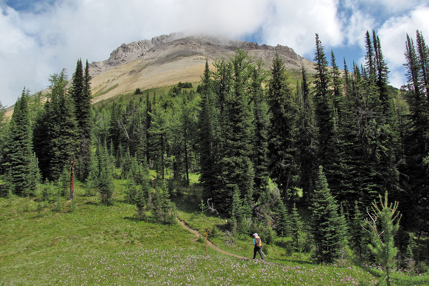
The trail runs below SE4
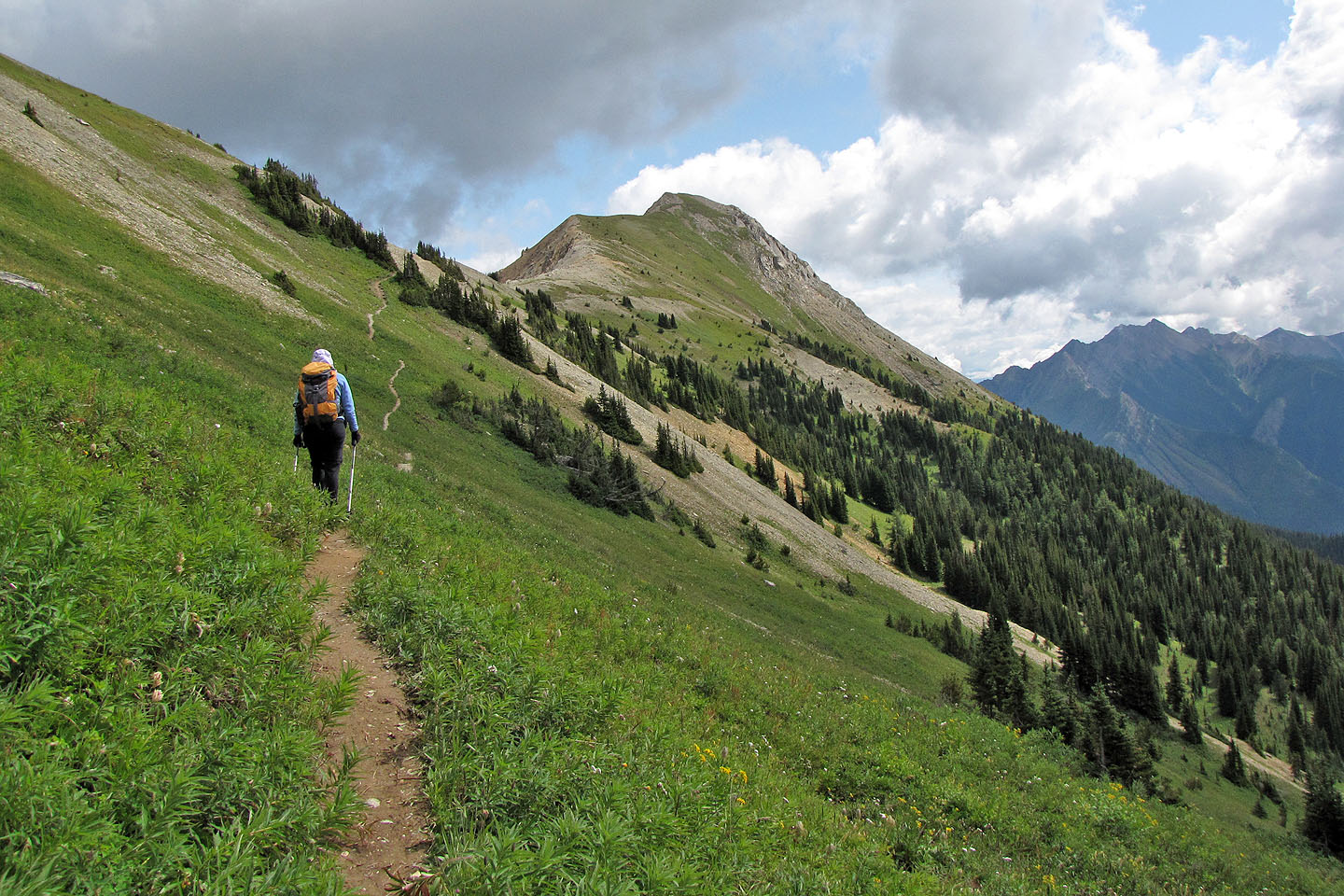
Almost at the col (mouse over to look back)
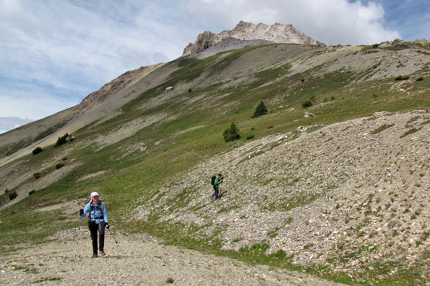
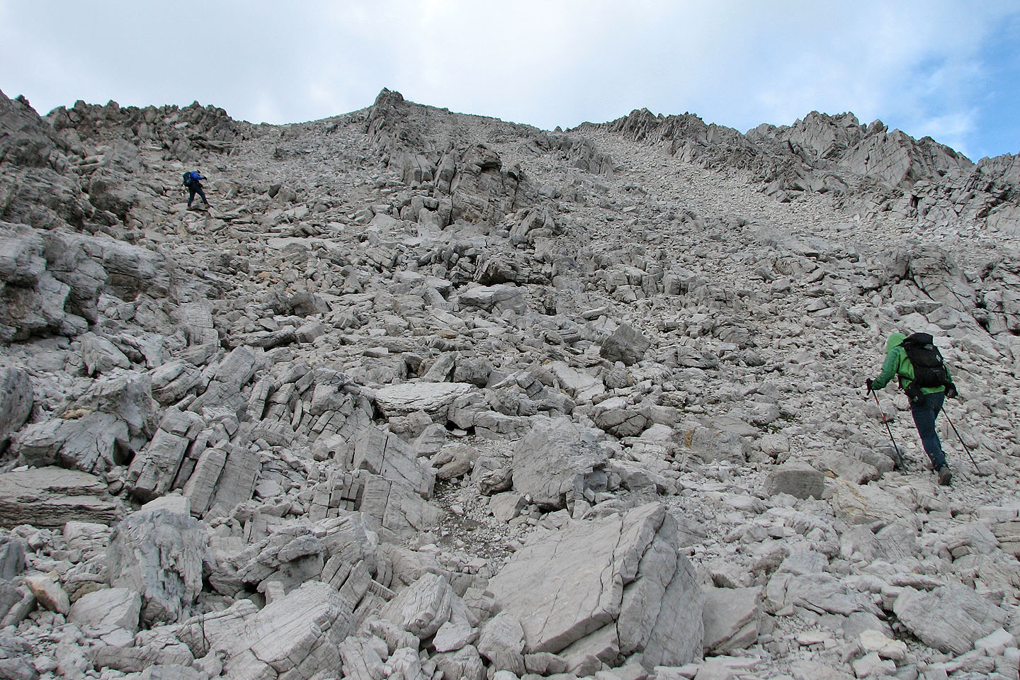
After reaching the col, we headed to Kindersley SE4
Alpine vegetation gives way to rocks (mouse over to look back)
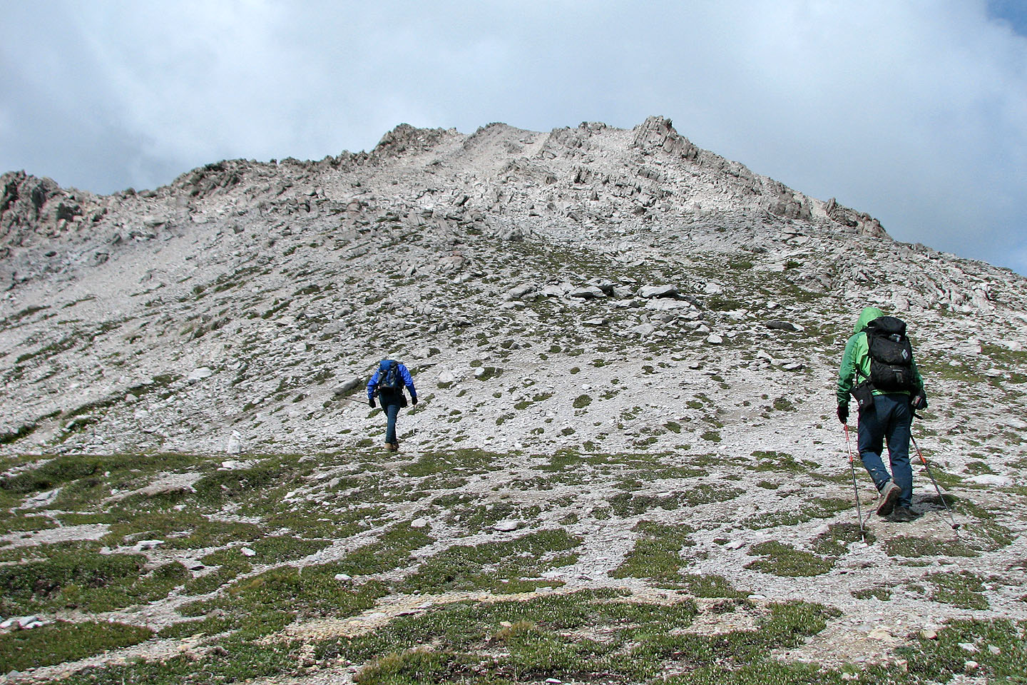
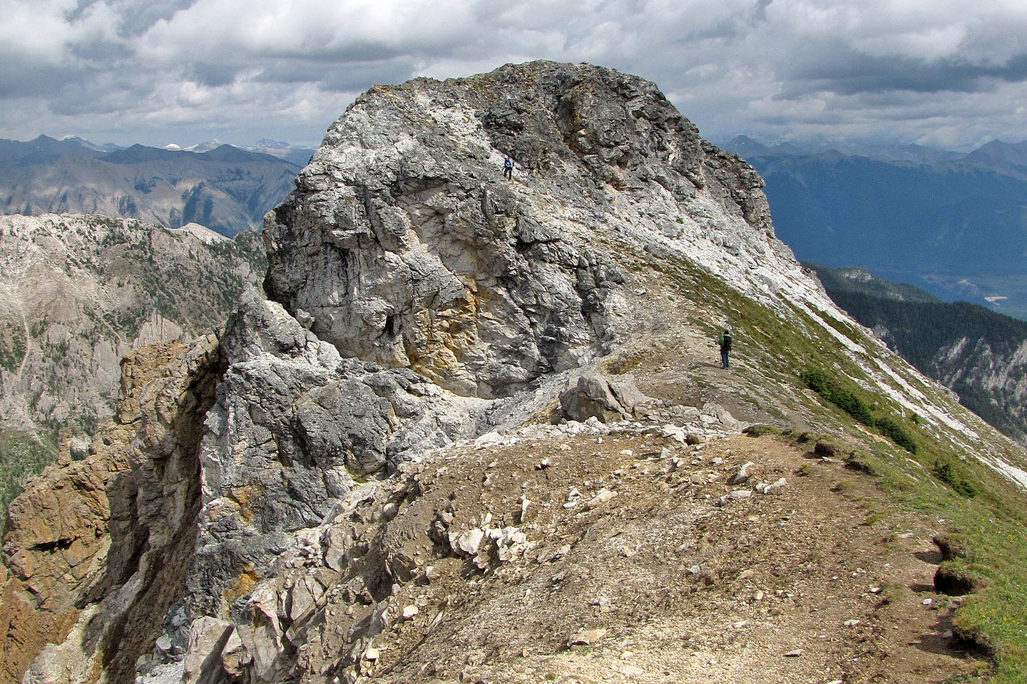
Sonny tags a pinnacle
We made our way to the summit
Below is valley that we will hike out on
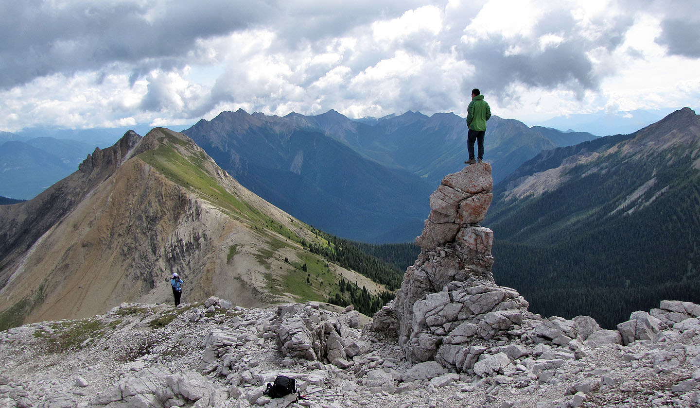
We suspect others have made it to the summit before us
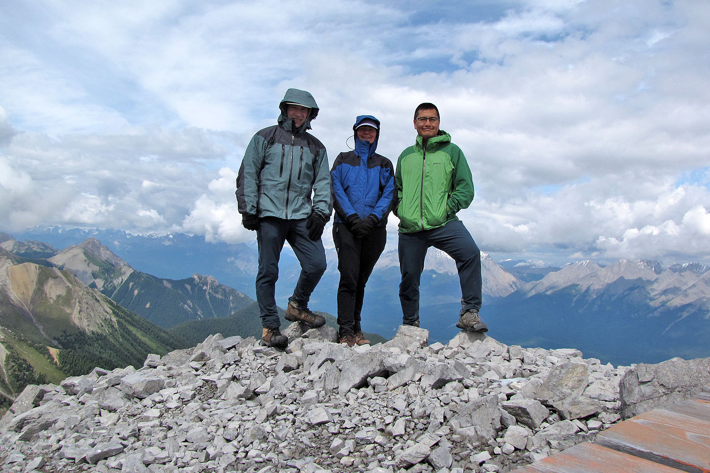
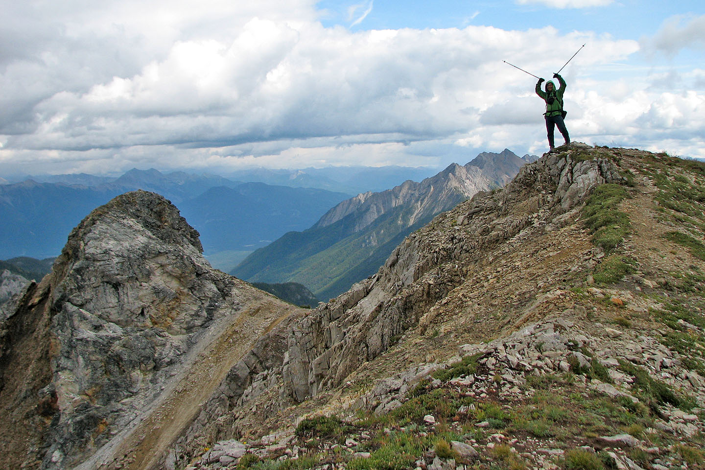
On top
Mount Kindersley (mouse over for a close-up)
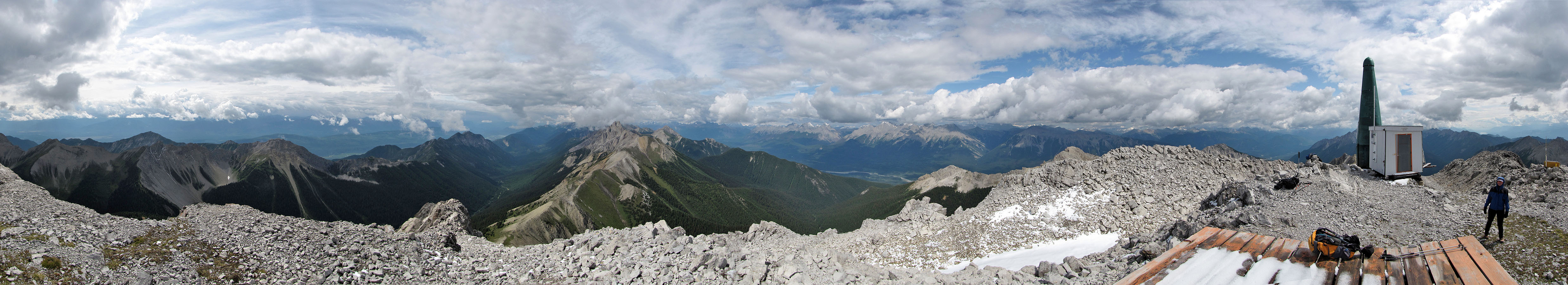
Panorama from the helipad
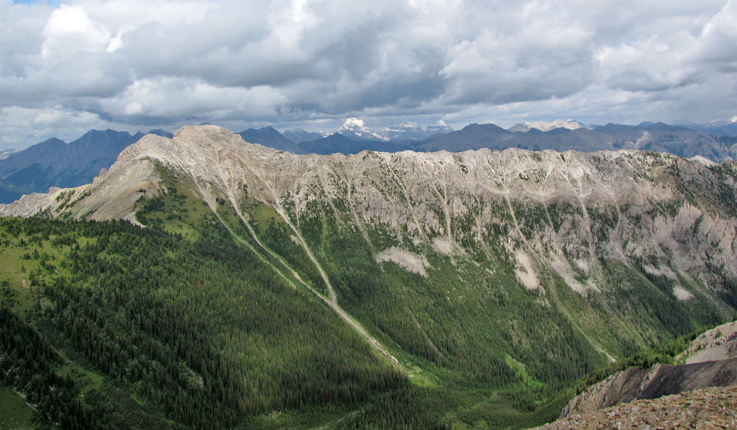
Looking northeast at Mount Assiniboine, Aye Mountain and Eon Mountain (mouse over)
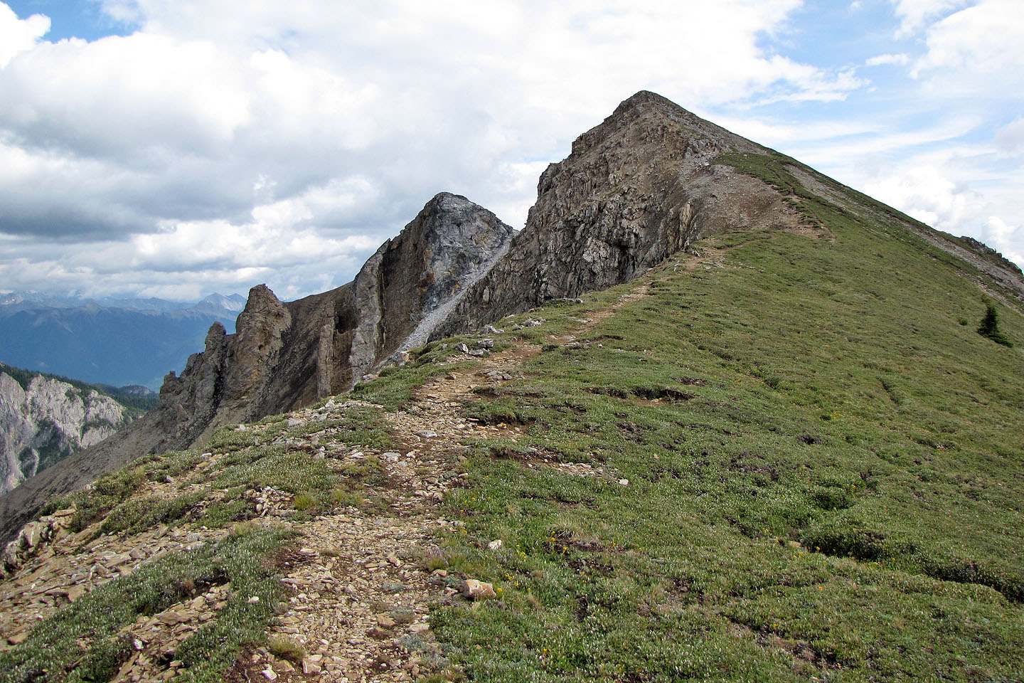
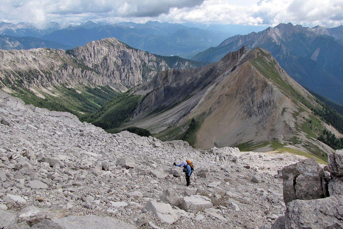
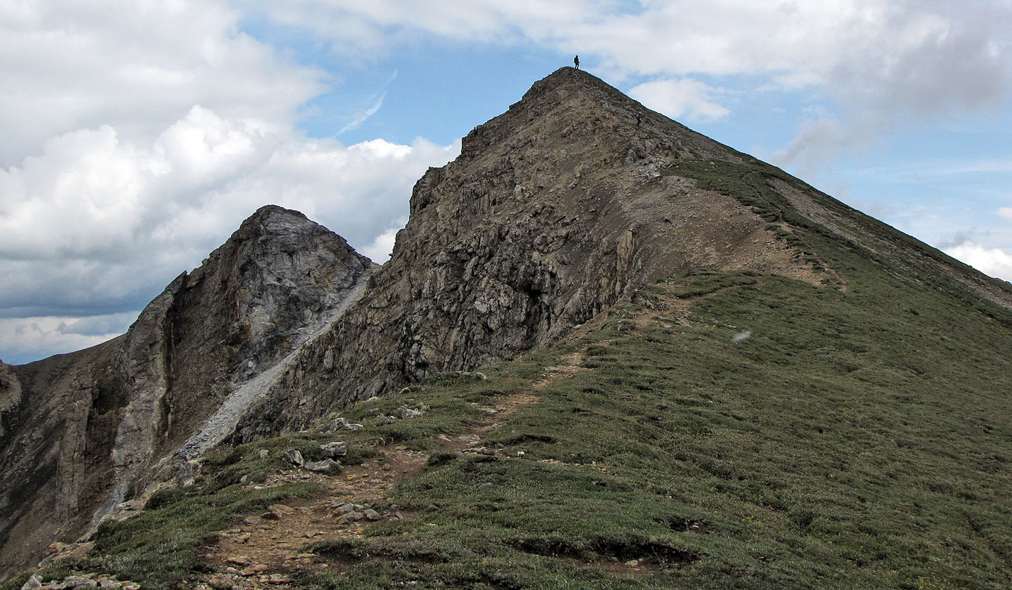
Our next objective, the south peak (the closest one is higher, but we climbed both)
Looking back after starting up
Sonny on the first south peak
Ascending the next little peak
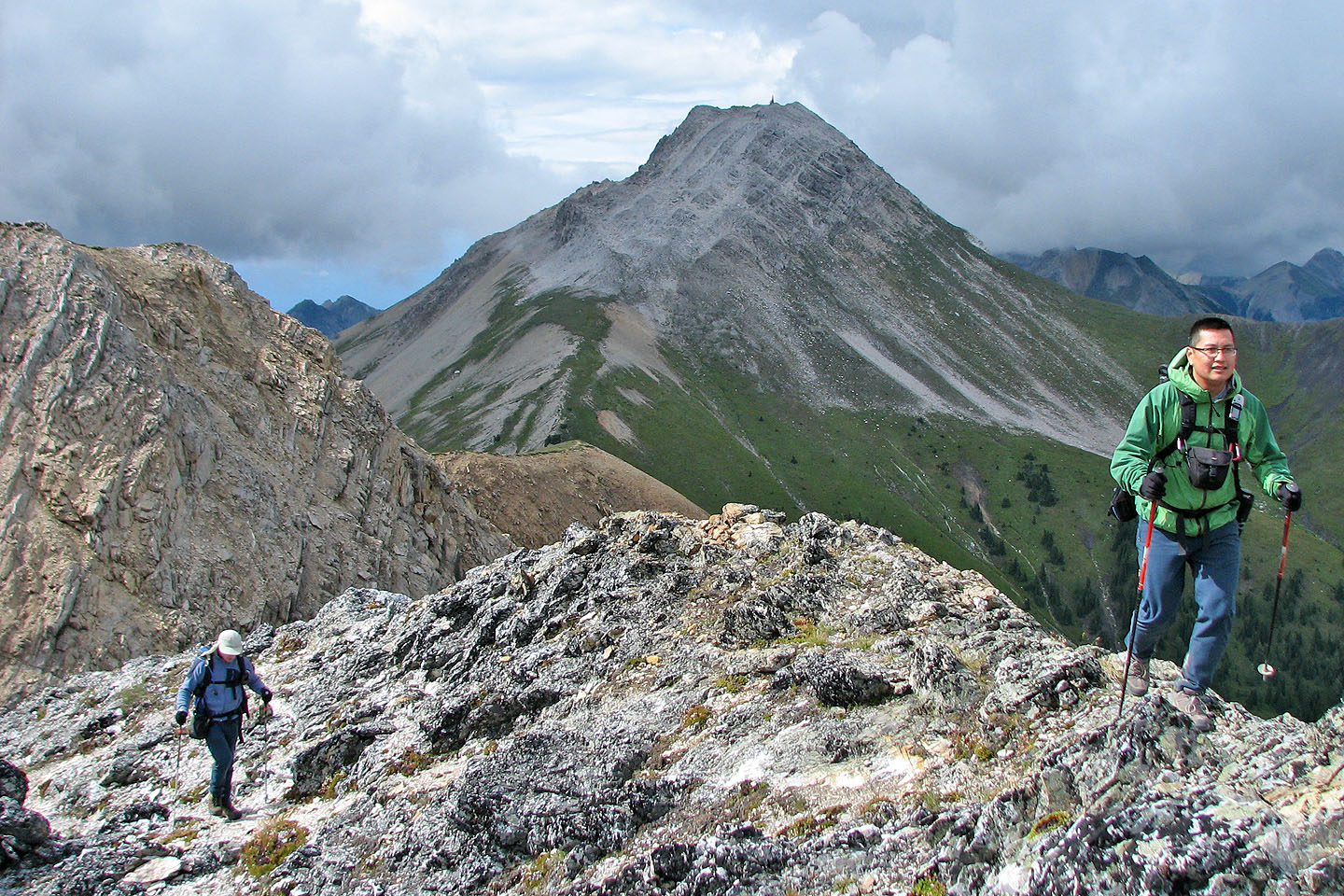
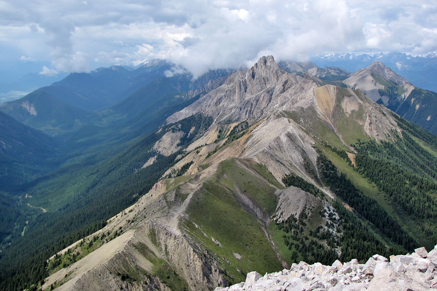
Looking back at Kindersley SE4 from the second south peak

On the second south peak
Lookout Point appears in front of Mount Sinclair
Sonny heads back down to the col
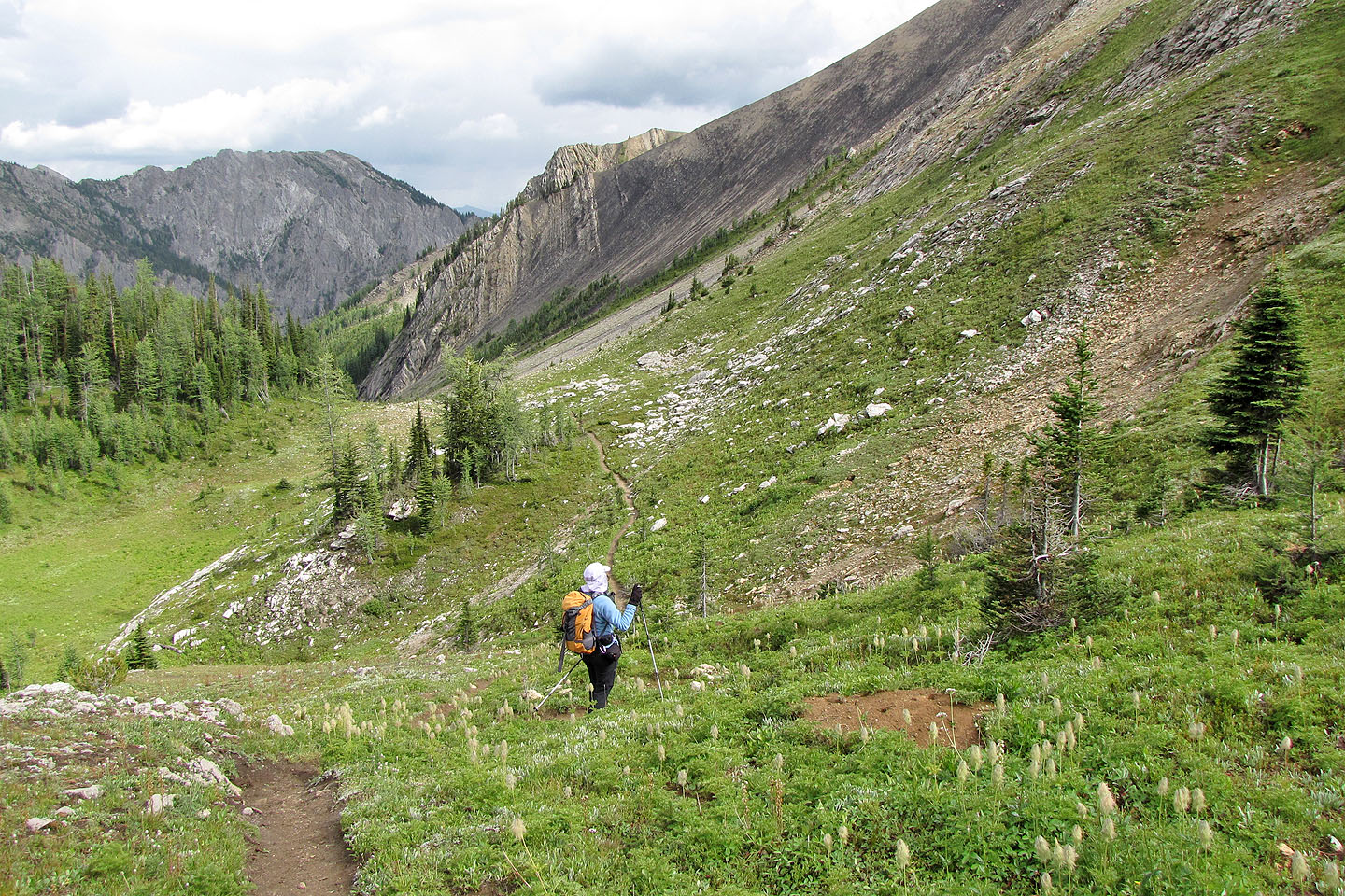
Following Sinclair Trail
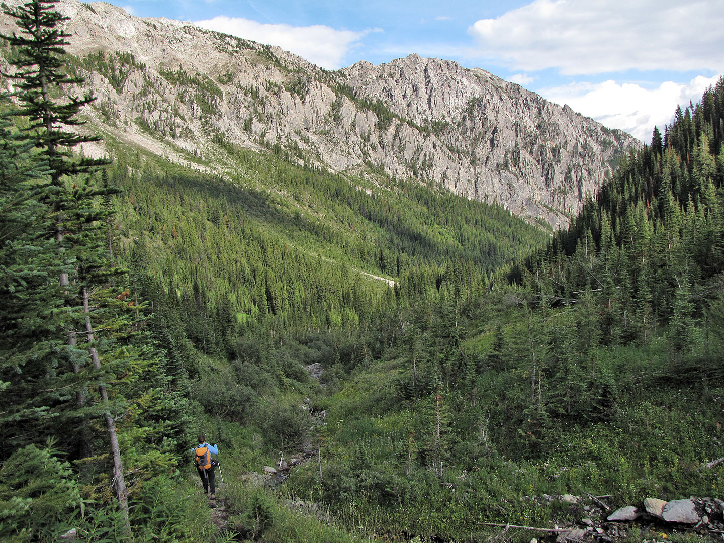
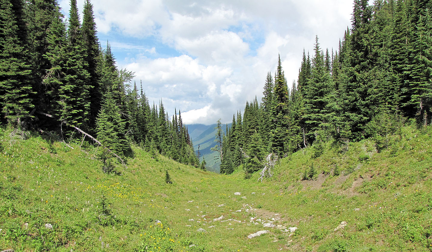
Following the trail down into a valley
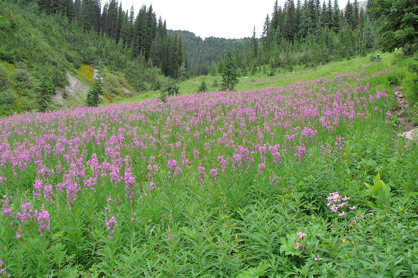
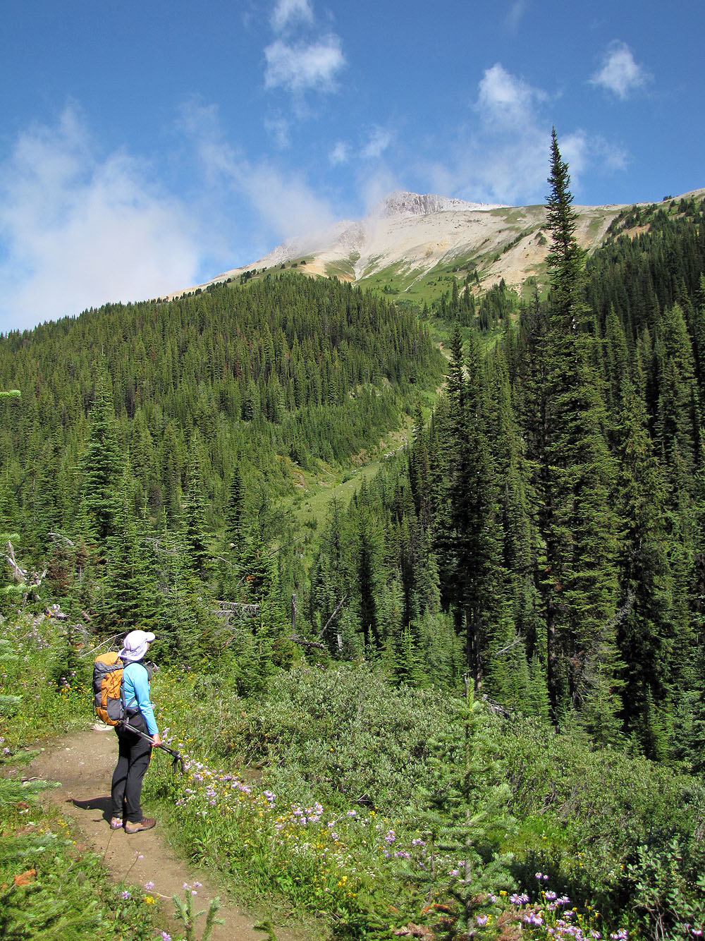
A patch of fireweed alongside the trail brightens the valley
82 K/9 Radium Hot Springs, 82 J/12 Tangle Peak