bobspirko.ca | Home | Canada Trips | US Trips | Hiking | Snowshoeing | MAP | About

Great Glacier Trail
Glacier National Park, B.C.
August 10, 2020
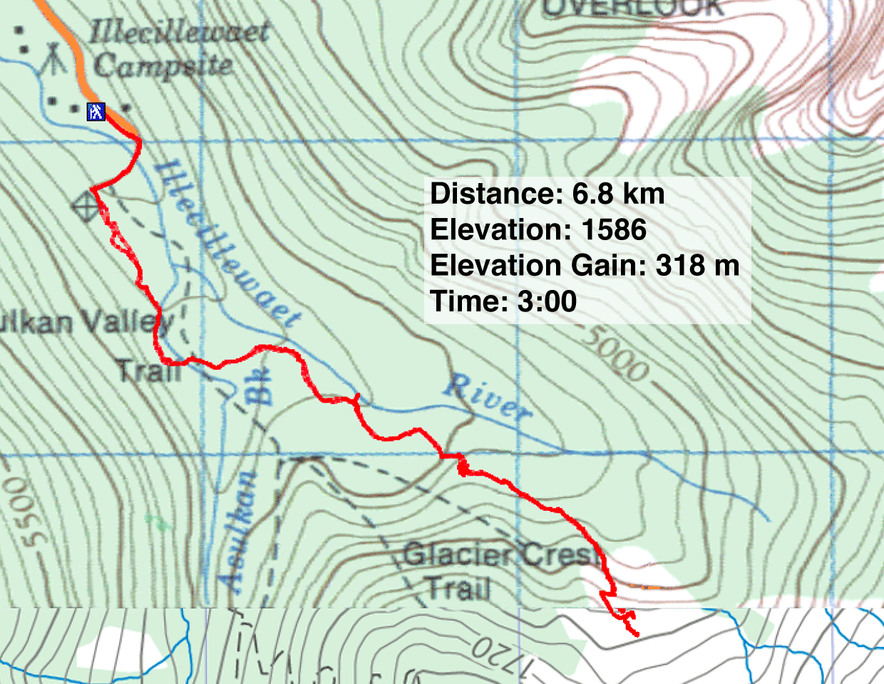
Distance: 6.8 km (4.2 mi)
Cumulative Elevation Gain: 340 m (1115 ft)
I dare say that the history of Great Glacier trail is more interesting than the hike. It began back in 1886 when the transcontinental railway was completed. From a dining hall stop near Rogers Pass, guests could walk to the toe of Great Glacier in 30 minutes. Eventually the stop turned into Glacier House, a 90-room, luxury hotel that became a major tourist destination. Guests could even hire Swiss guides to take them on alpine adventures.
Fast forward more than 100 years. The glacier, now called Illecillewaet Glacier, has receded by several kilometres. The train tracks are gone, and all that remains of Glacier House is the foundation. Great Glacier trail now begins at Illecillewaet campground, but it takes only five minutes to walk to the foundation of Glacier House. From there the trail continues up Illecillewaet Valley. Even though the path is longer now, it ends well short of the glacier. But the trail is signed and easy to follow. There's no need to hire a Swiss guide, not that you'll find one.
Dinah and I found the path pleasant although stuck in trees for the most part. It ends abruptly on orange, glacial rock. The modest elevation gain, as one might expect, provides modest views of Illecillewaet Valley, but the glacier is nowhere to be seen. I scrambled 30 m up the smooth rock to a viewpoint, but the glacier remained out of sight and out of easy reach. The unforgiving, rocky terrain doesn't invite further exploration, so after taking a break, we headed back.
Next time, it'll be a little harder to reach the glacier: the toe is receding at the rate of 31 m a year. Great Glacier trail isn't great, doesn't give a view of the glacier, but it is short, and going by the hikers we saw on the trail, it is popular.
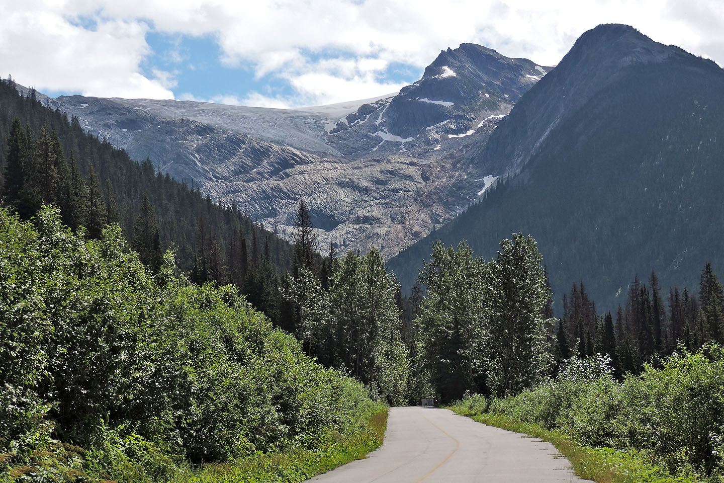
Illecillewaet Glacier can be seen from the road going to the campground (mouse over for a close-up). The point we hiked is so far below the glacier that it's not seen here.
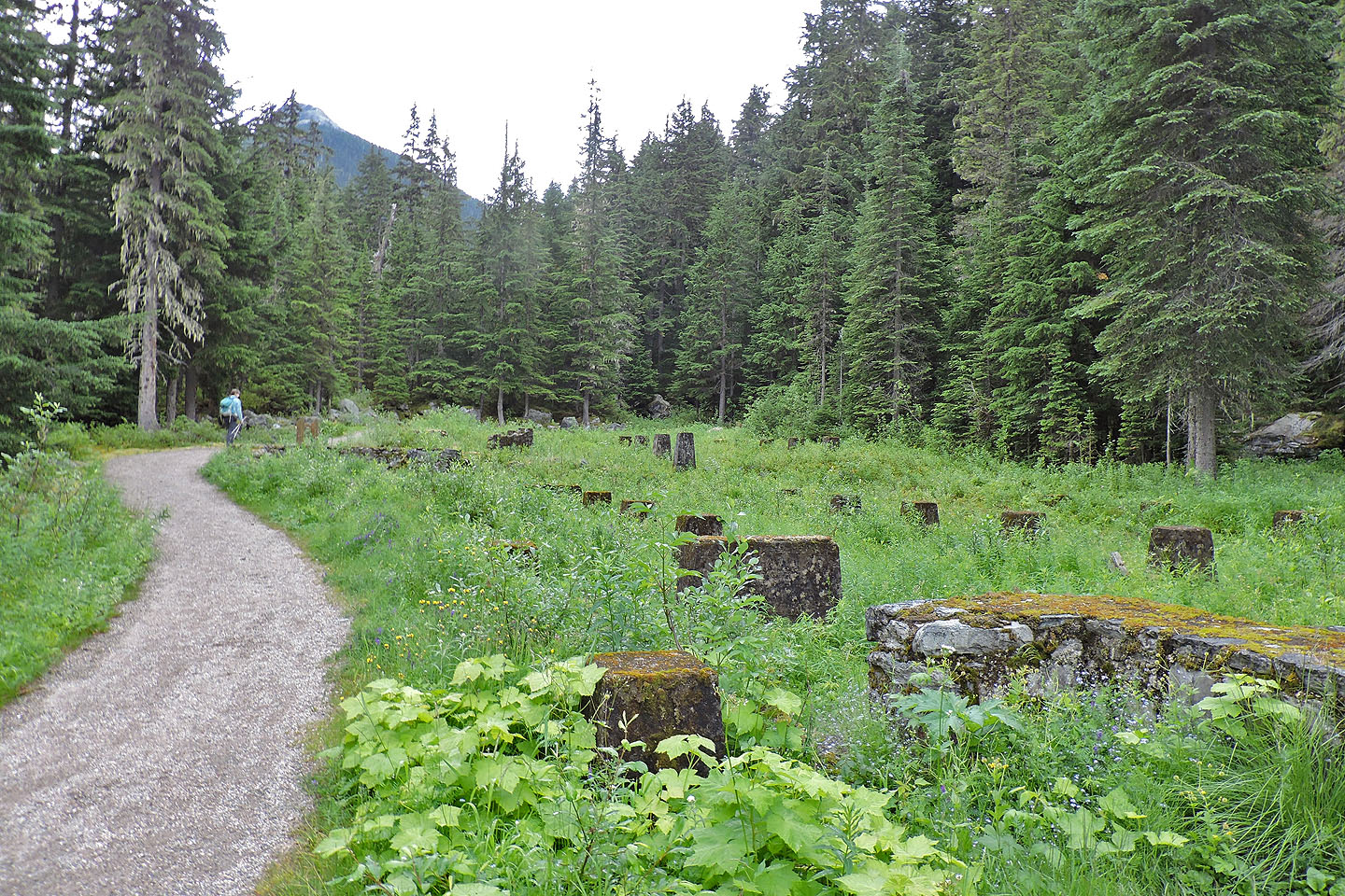
The trail passes the foundation of Glacier House
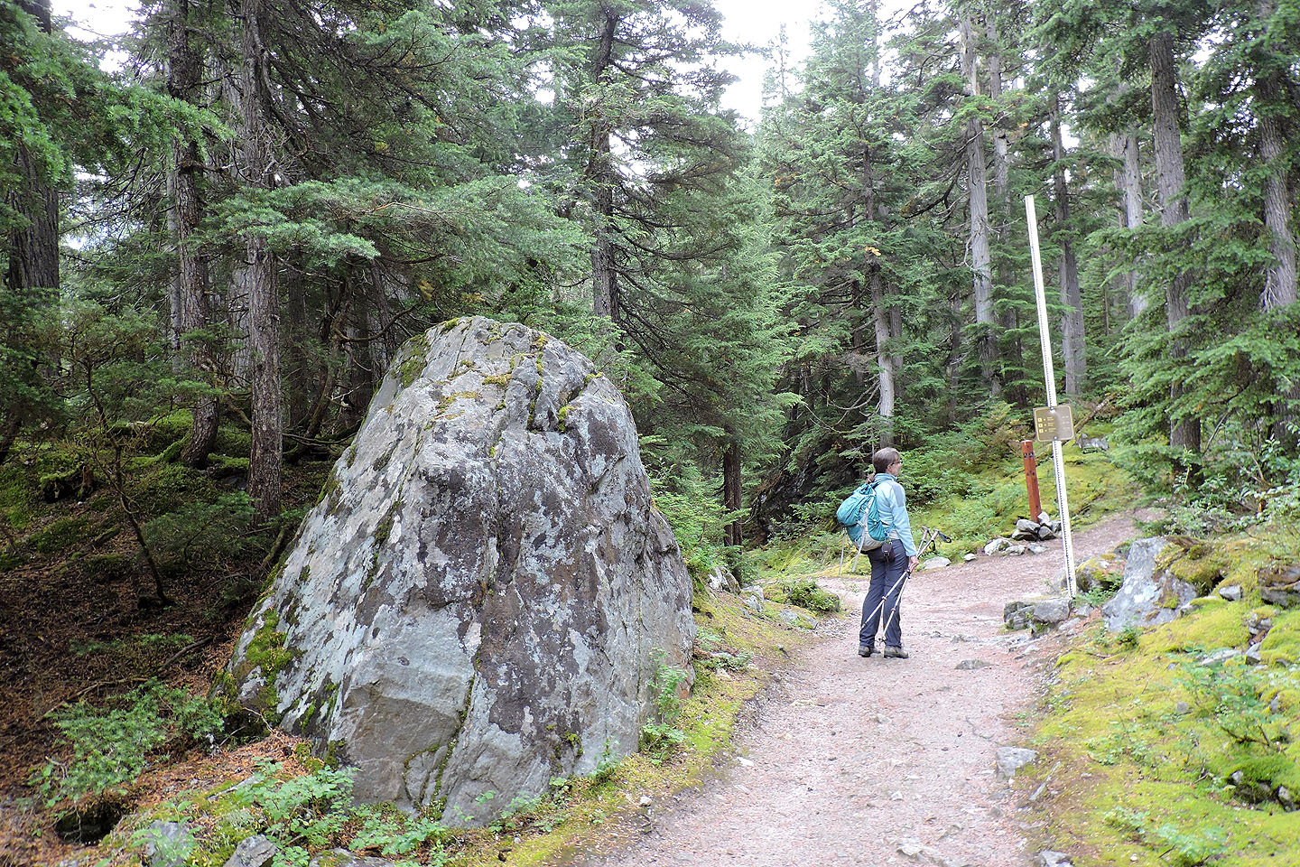
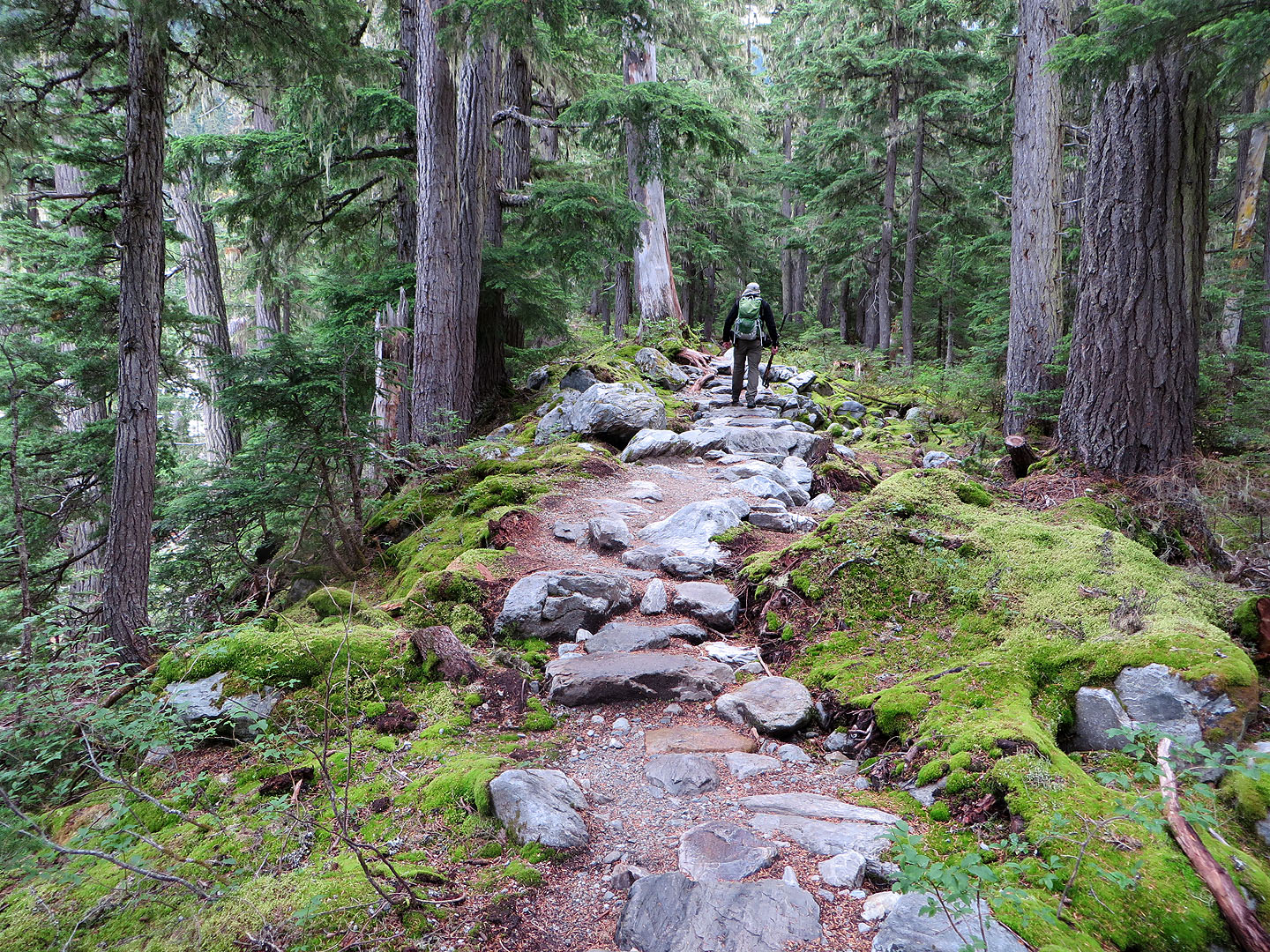
The trail is broad at first
Glacier Crest trail is the left
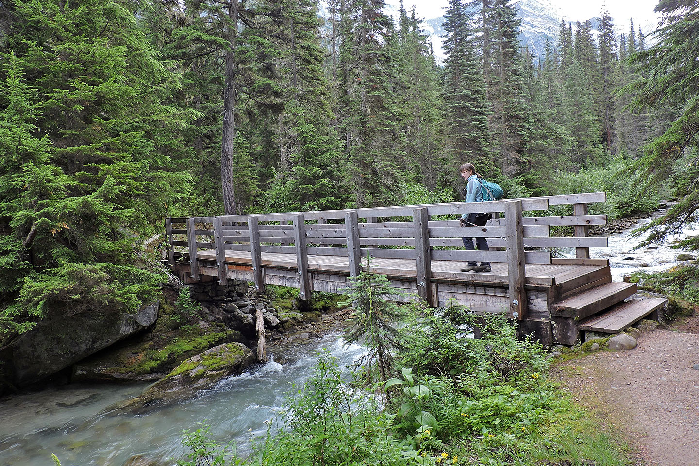
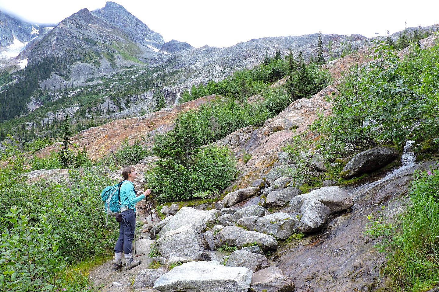
Crossing Asulkan Brook
There are a few picturesque stretches at first
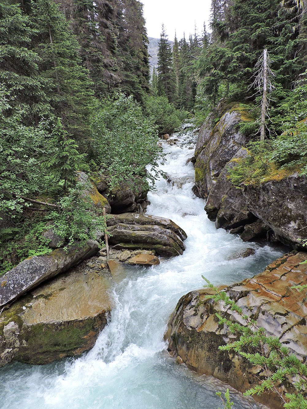
Illecillewaet River
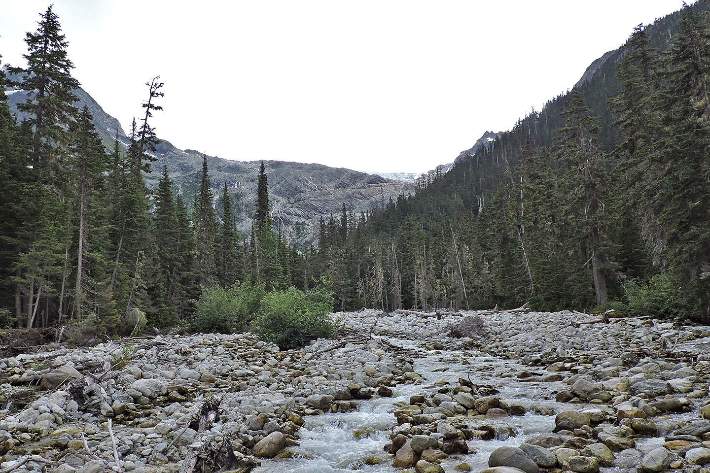
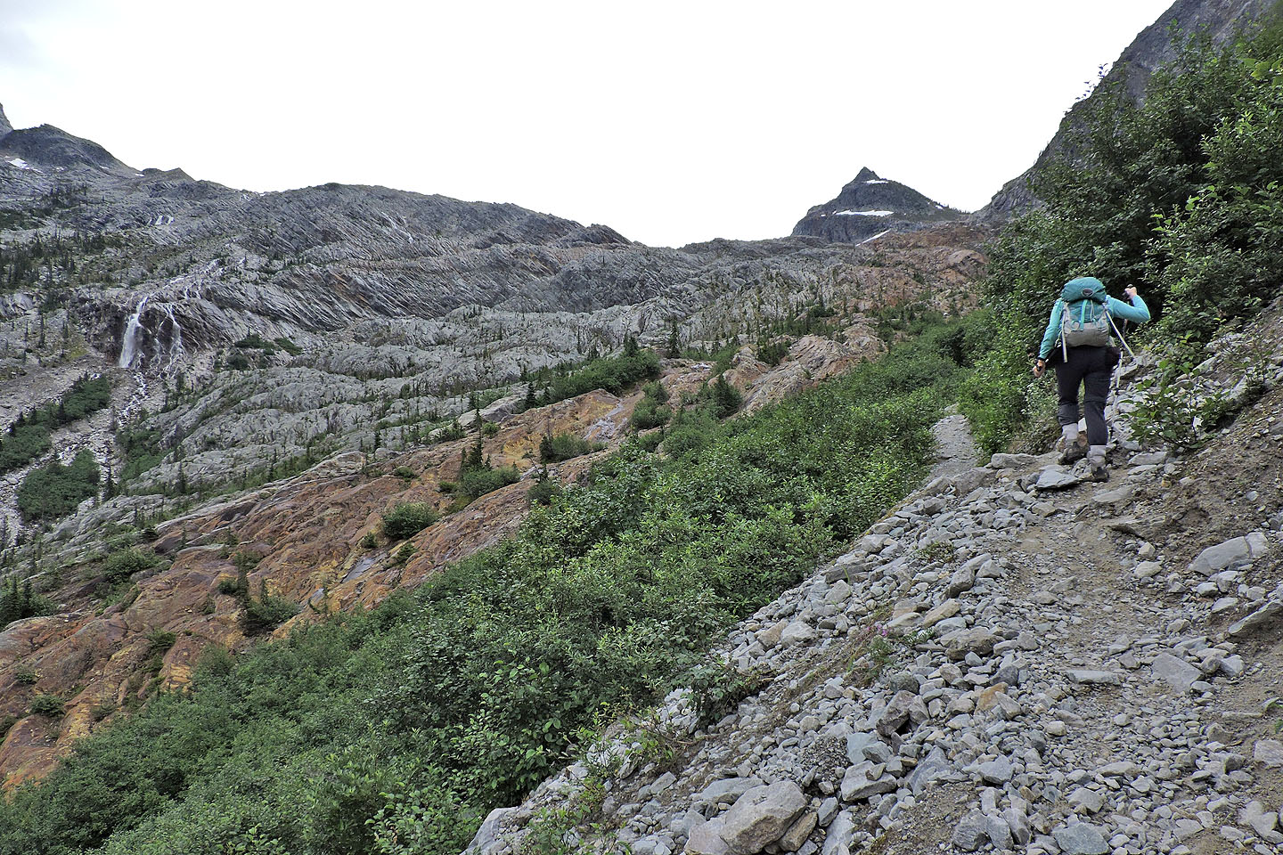
Farther up the river, the glacier is barely visible
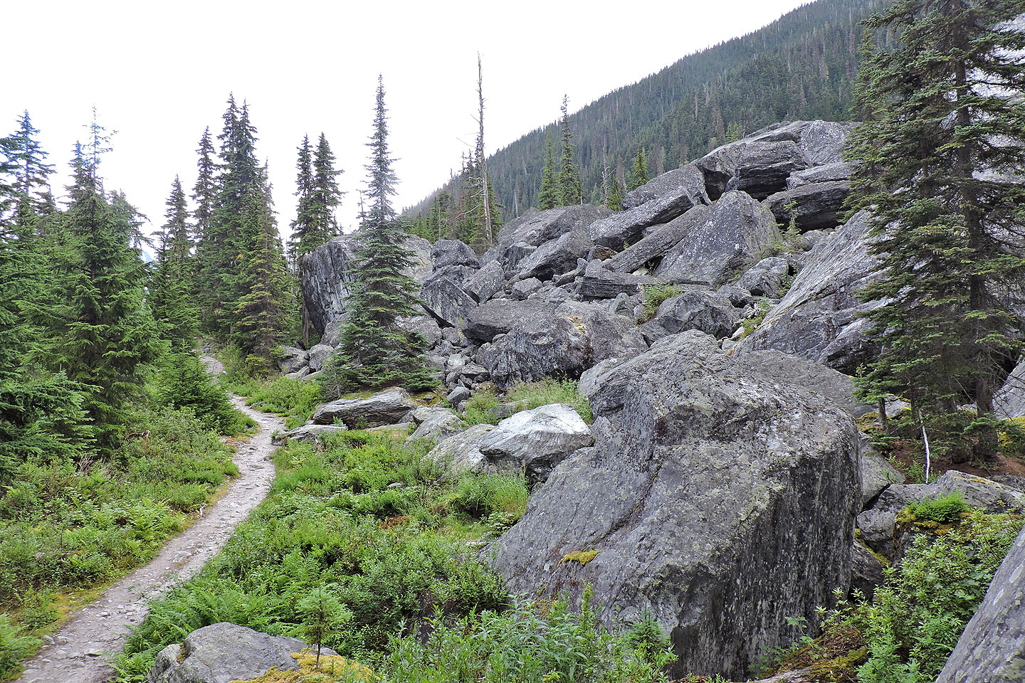
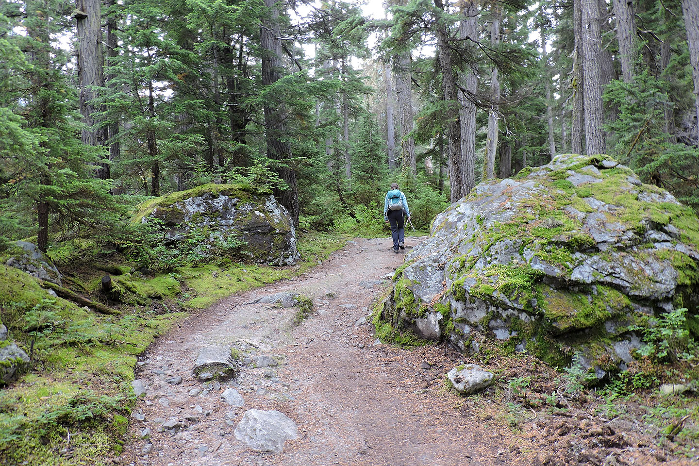
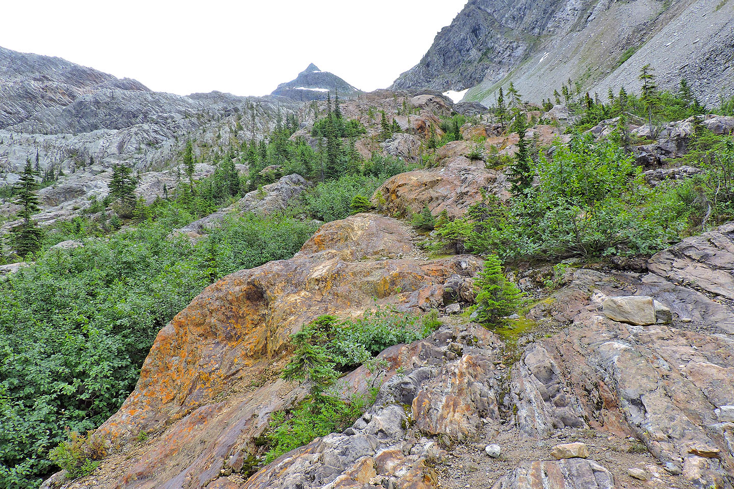
The path passes a pile of boulders
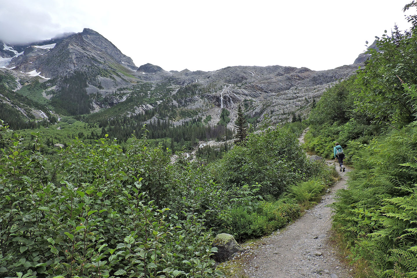
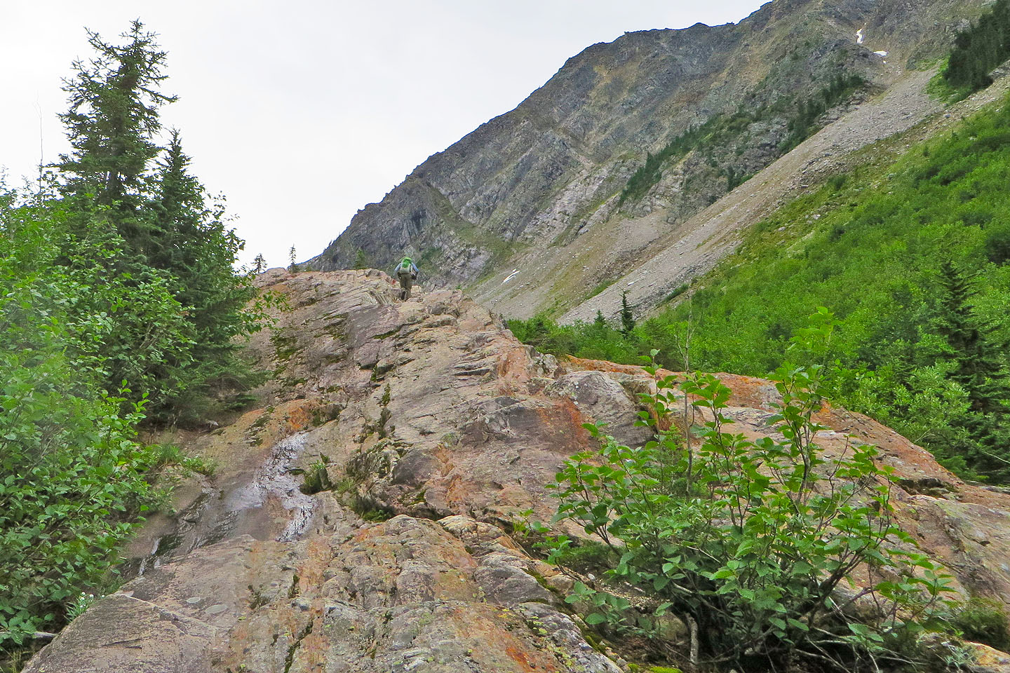
Eventually views kick in
Coming to the end of the trail
The trail ends here, but we couldn't resist getting onto the rock
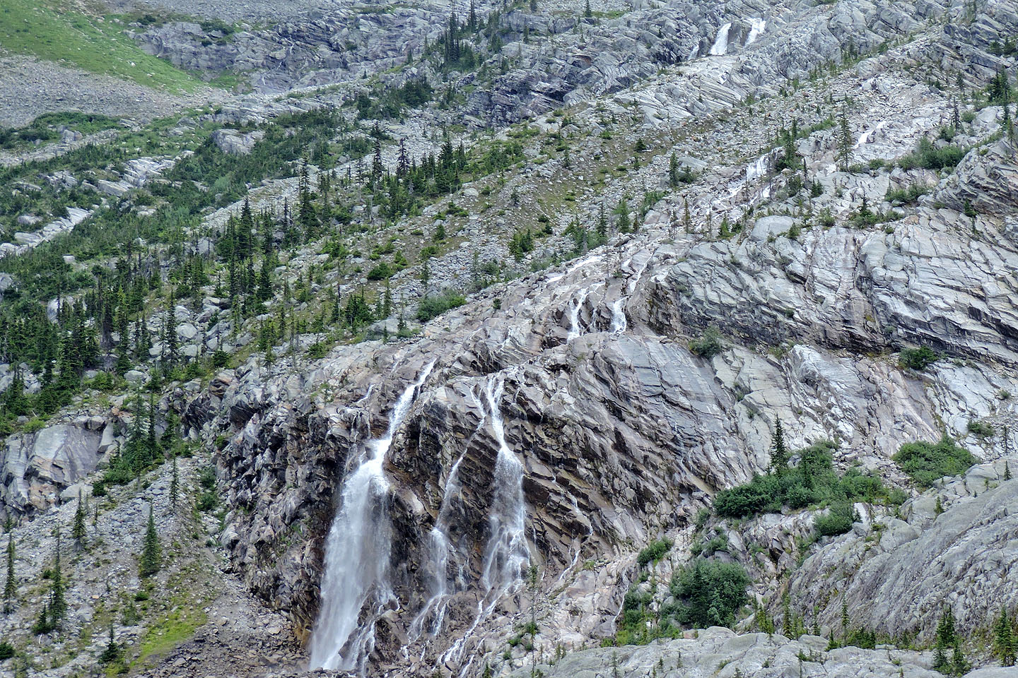
Waterfall to the east
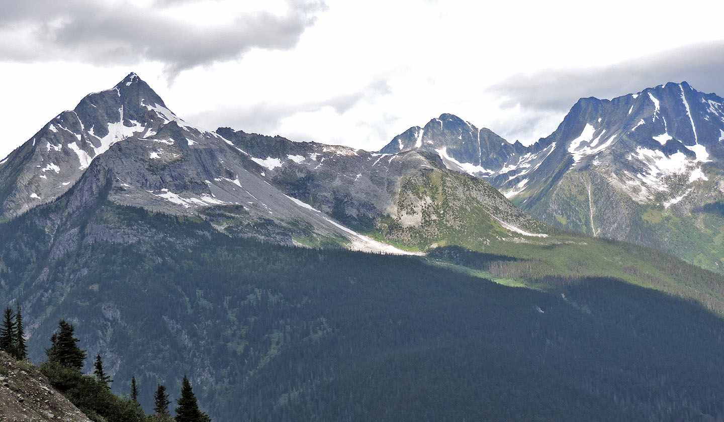
Cheops Mountain, Ursus Minor Mountain and Grizzly Mountain to the north
I scrambled up the glacier rock a short distance
After climbing 30 m, I still couldn't see the glacier
82 N/06 Blaeberry, 82 N/03 Mount Wheeler