bobspirko.ca | Home | Canada Trips | US Trips | Hiking | Snowshoeing | MAP | About
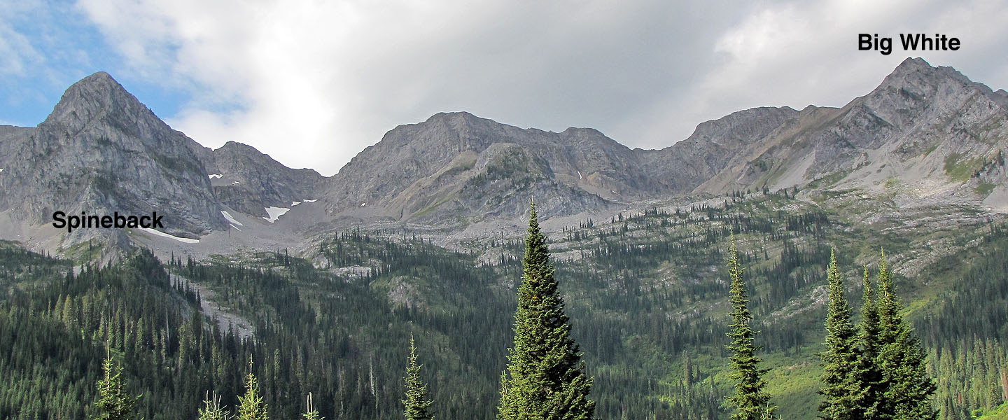
Big White and Spineback
Fernie, B.C.
September 4, 2010
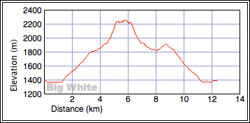
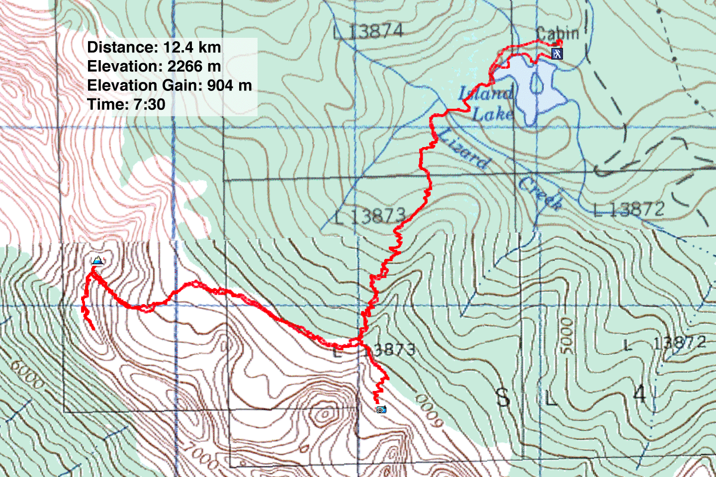
Distance: 12.4 km (7.7 mi)
Cumulative Elevation Gain: 1085 m (3560 ft)
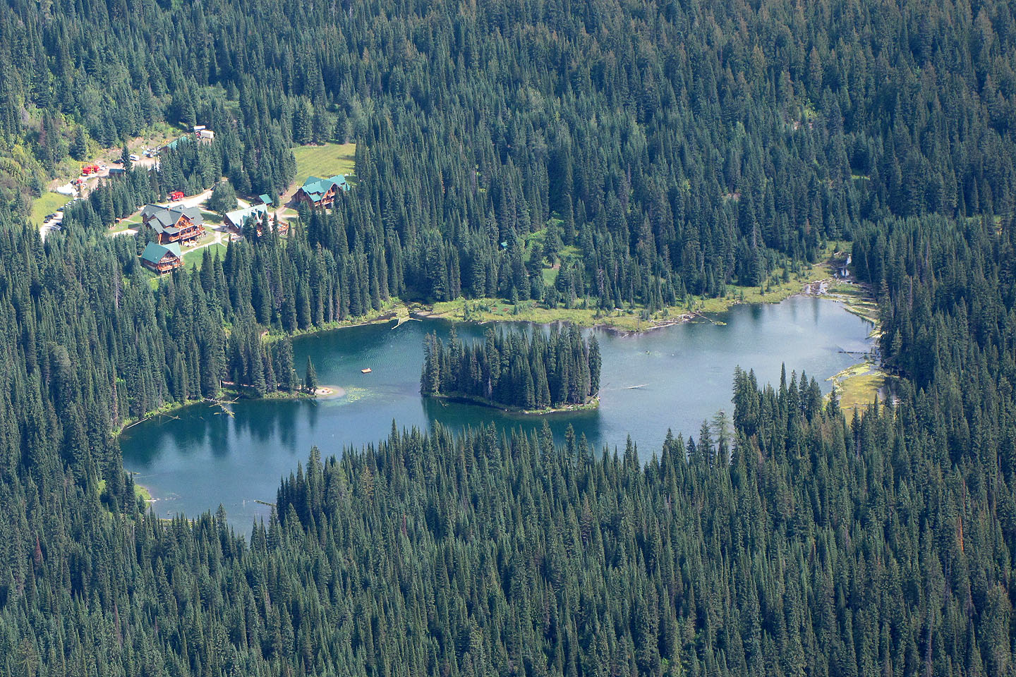
After visiting Island Lake a month ago, Dinah and I were looking for a reason to return, and we found it in the shape of Big White. Big White appears in the Island Lake Lodge brochure along with a brief route description. The brochure adds, “Hiring a guide is highly recommended.” After thinking carefully for about two seconds, we decided to forgo the guide and take our chances.
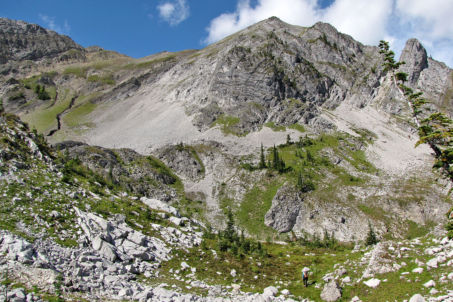
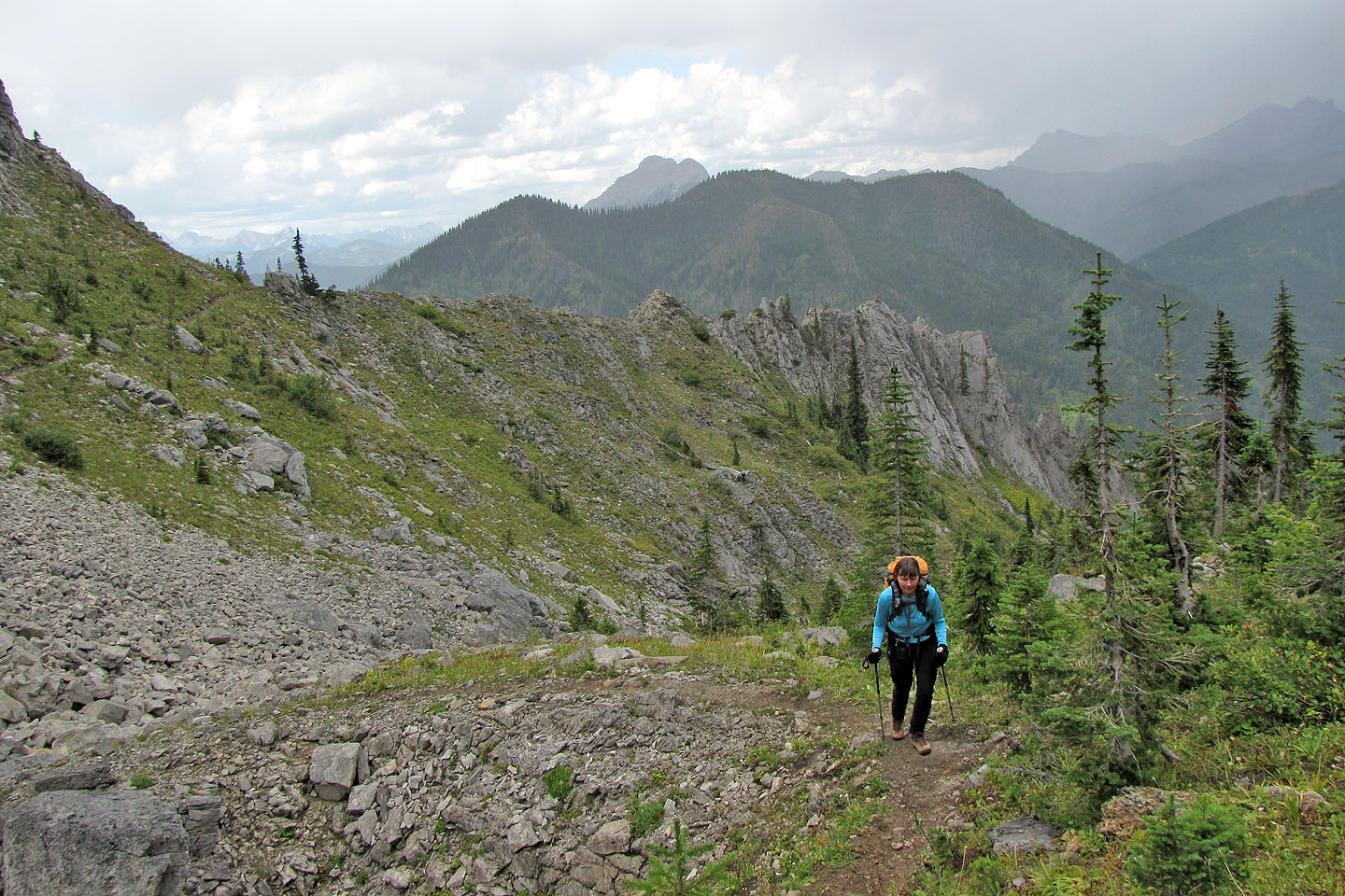
The approach for Big White starts on Spineback trail. Like many trails here, Spineback begins at the lodge and is well-signed. We followed the trail around Island Lake before hiking up the right side of a jagged ridge: Spineback. Just before the trail wends left through a break in Spineback, we quit the trail and started traversing the slope to Big White 1.5 km away.
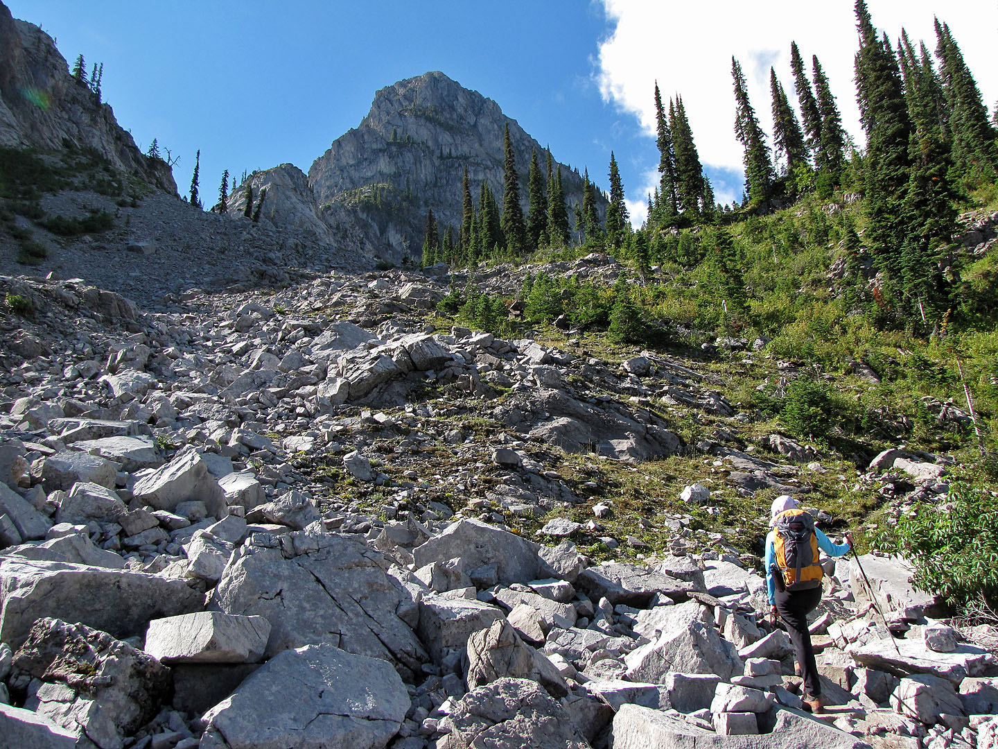
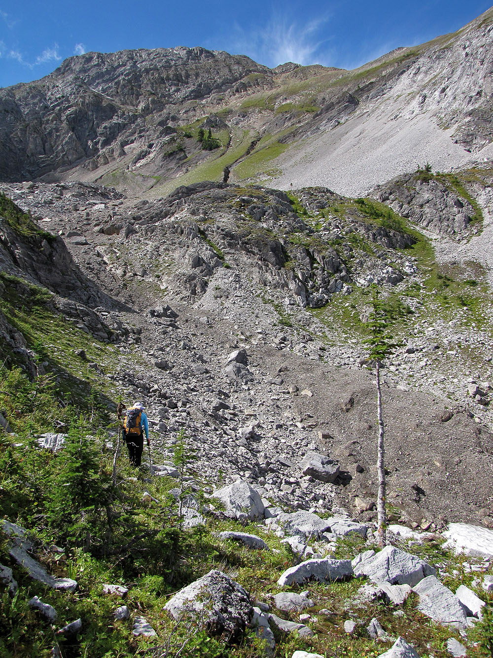
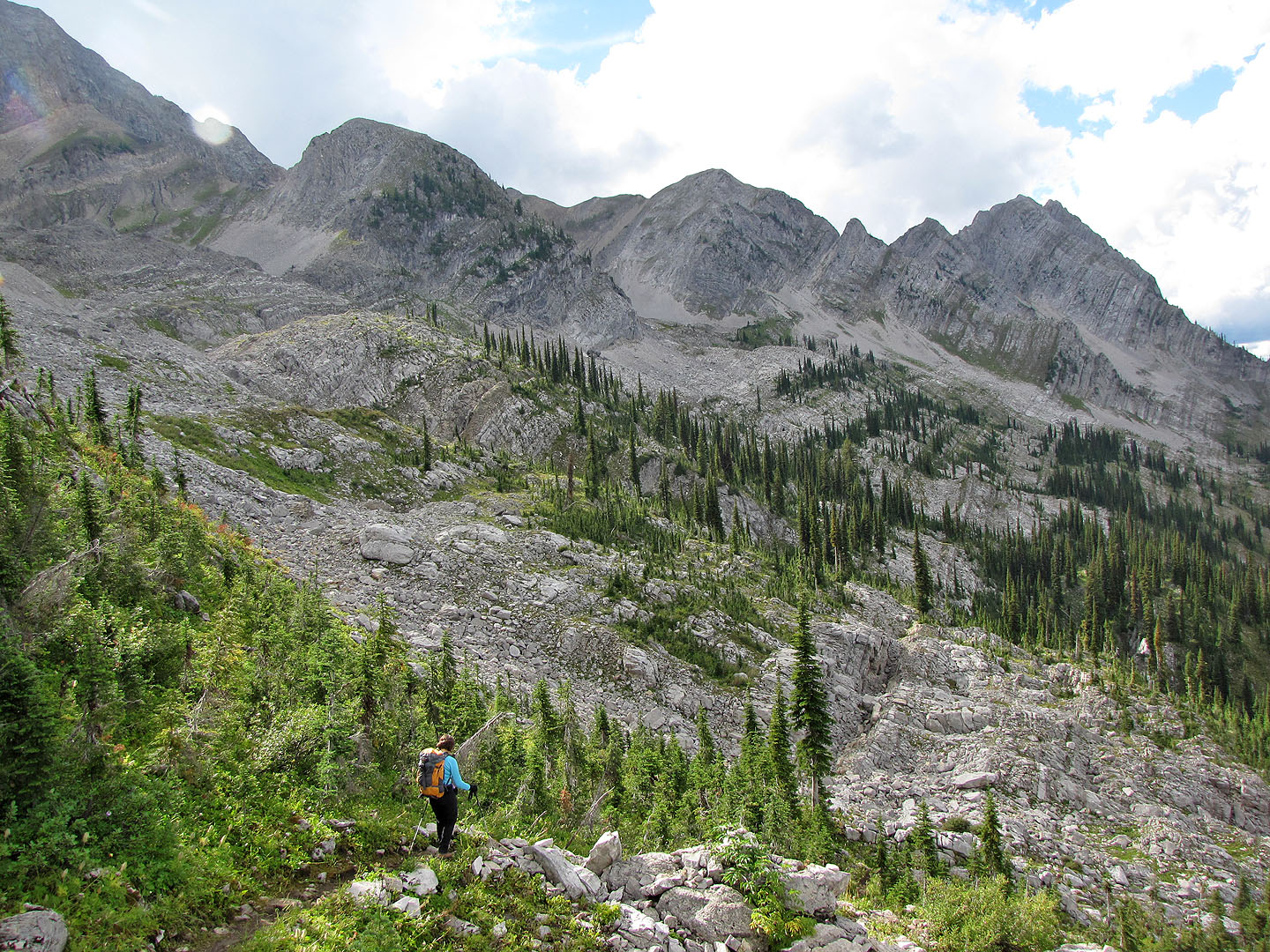
When we studied the slopes between Spineback and Big White from the lodge, the traverse appeared simple. In reality, we faced various obstacles along the way: dense bush, steep rock and sinkholes. The sinkholes were our biggest surprise. They ranged from small depressions to huge bowls to vertical shafts dropping dozens of metres. Some sinkholes were hidden so we didn't notice them until we were right beside them. After dodging several sinkholes we reached the basin below Big White.
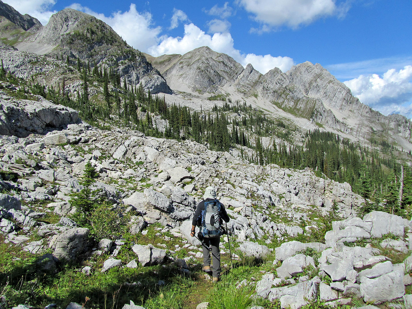
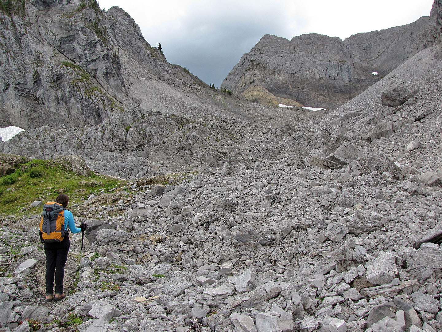
The hike from the basin to the summit was straightforward. We started up grassy slopes that later morphed into a scree gully. In the gully, numerous goat tracks eased our ascent. We knew they were goat tracks as we spied goats grazing below the summit. Apparently our presence didn't alarm them. Even when we were about 100 m away, they didn't flee. They continued grazing and we continued climbing.
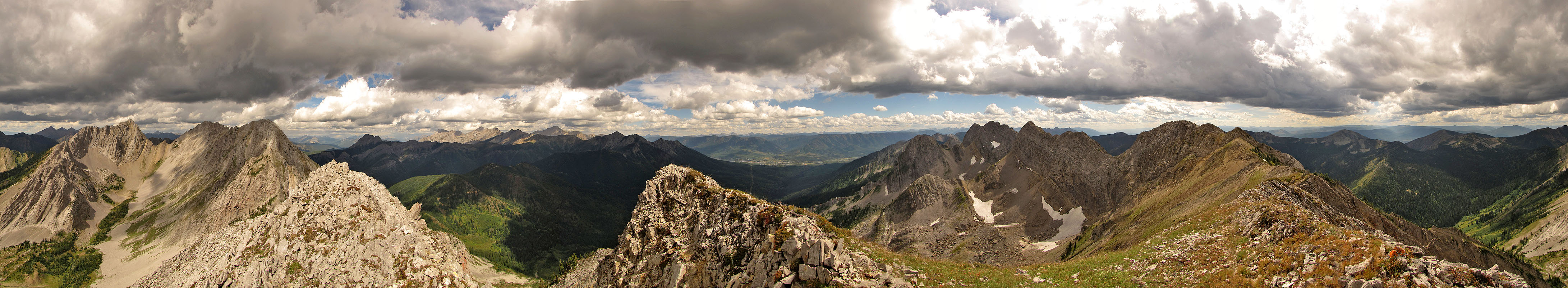
According to the brochure, Big White is the only place where one can easily crest Lizard Range above Island Lake. When we arrived on the summit that certainly appeared to be the case; the rest of the ridge looked too steep to climb. However, it looked like we could follow the ridge south to reach a nearby outlier. Dark clouds were moving in, but we had time to reach it. After taking a panorama (at the top of this page), we started along the ridge.
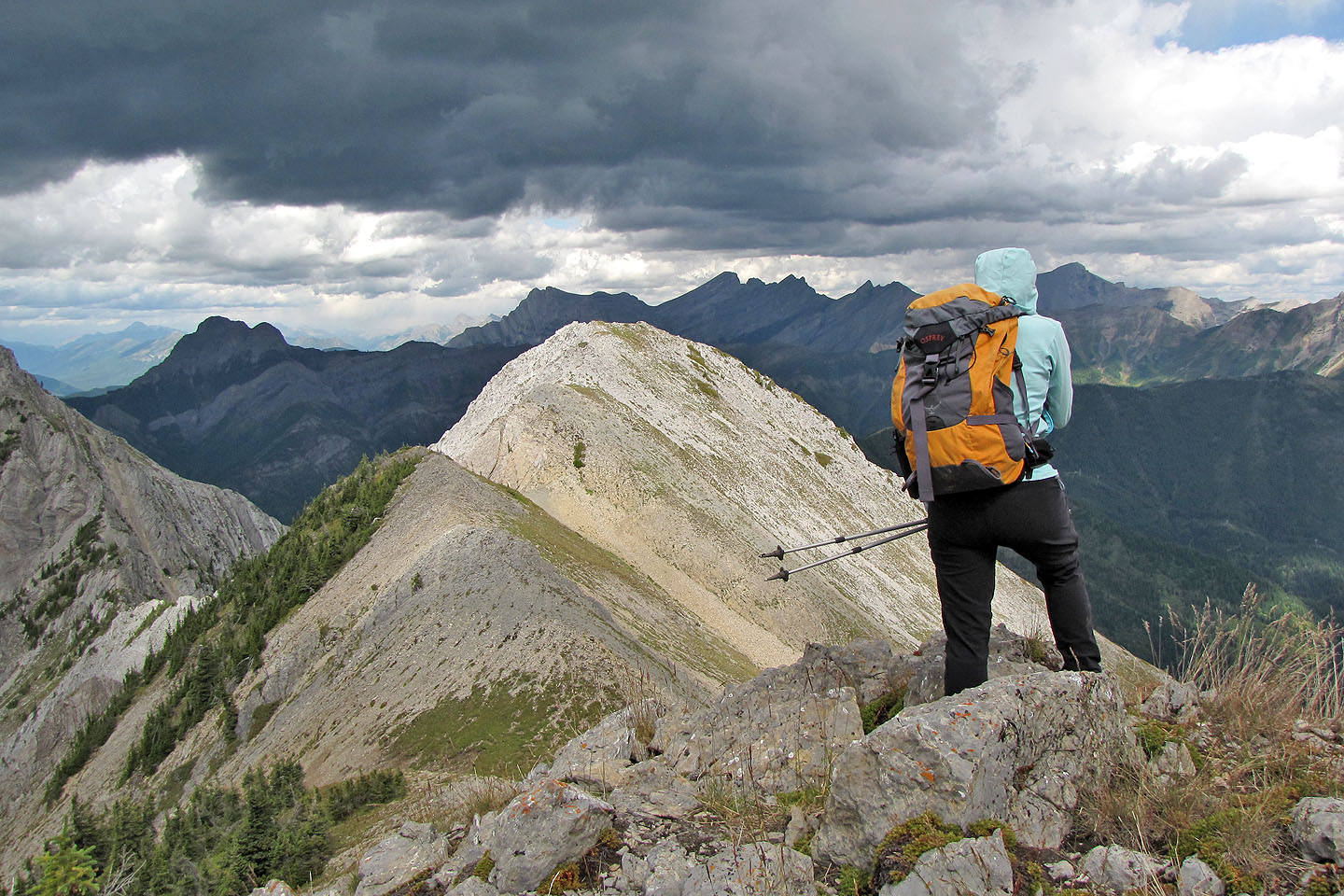
But traversing the ridge was more difficult than it looked. At one point, an exposed, crumbly knife-edge didn't appear safe, especially since we were buffeted by wind gusts, so we dropped down. I continued while Dinah decided to sit this one out. After a moderate scramble with some exposure, I reached the top of the outlier. It was only 16 metres higher than Big White and hardly worth the trouble. I climbed down and joined Dinah who had passed the time trying to make friends with a gopher.
We (Dinah and I, not the gopher) headed back. As we retraced our steps to Spineback, the weather deteriorated. Now the clouds brought light showers, thunder and even hail, but it wasn't enough to dampen our spirits. We decided to follow Spineback trail to its end.
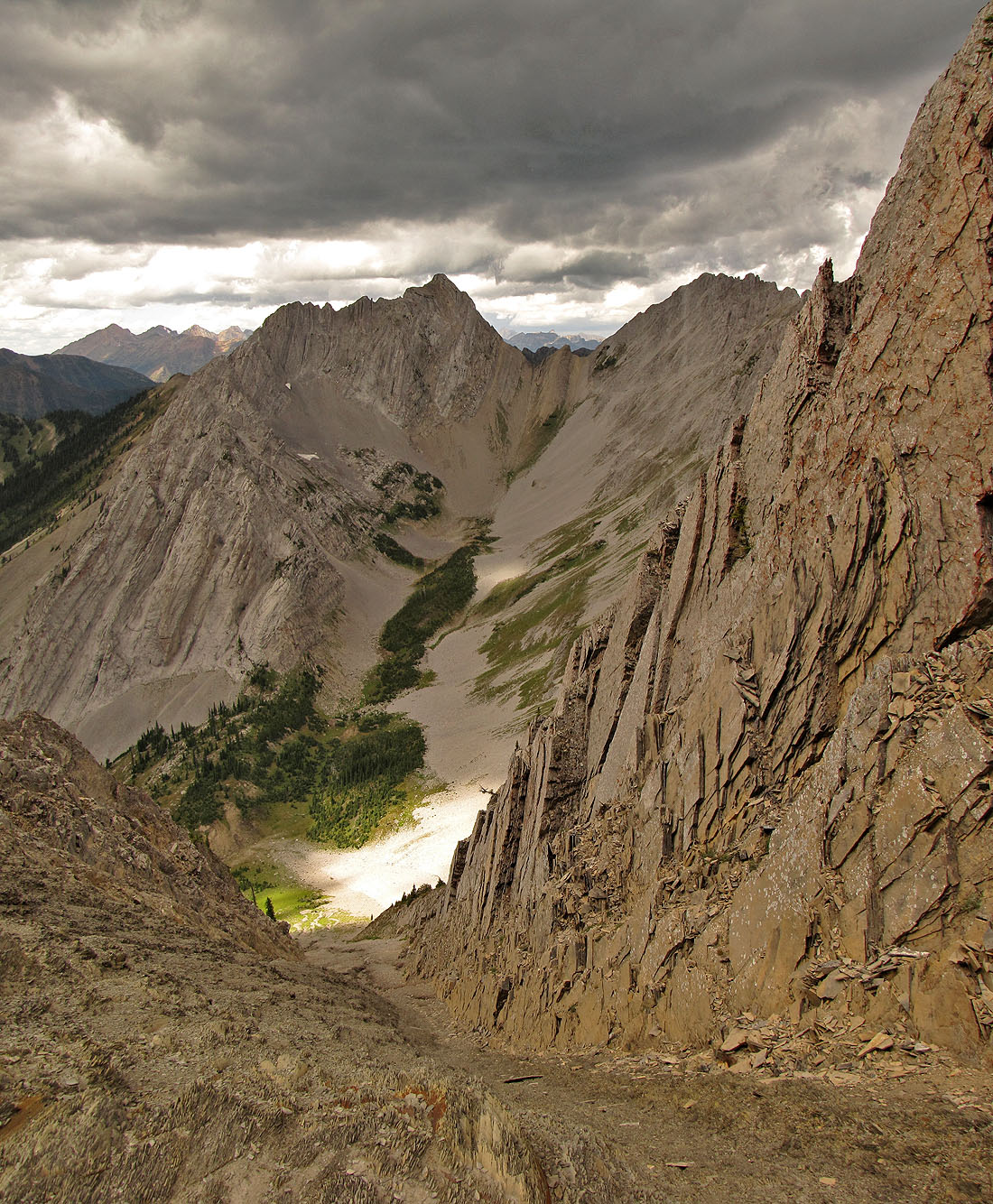
After the trail crosses the crest of Spineback, it ascends into the rock-strewn bowl between Baby Bear and Papa Bear, prominent features on the east slope of Lizard Range. The trail ends at a wooden bench at the edge of the bowl, nearly 100 m above where the trail crosses Spineback. We gazed at the bowl wondering if it was worth exploring, but it had already been a long day. We hiked back down Spineback trail.
When we returned to the trailhead at the lake, we paused to look up at Lizard Range. Already we were looking for a reason to come back.
Papa Bear (left) rises above Spineback. Mouse over for our approximate route.
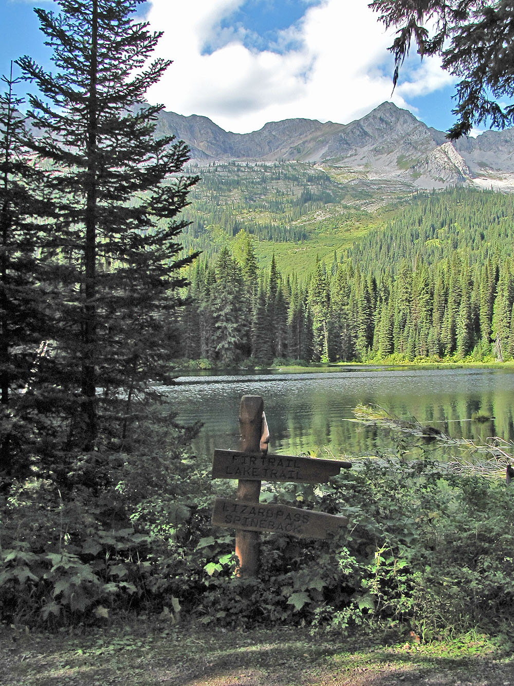
Signpost at Island Lake: Fir Trail, Lake Trail, Lizard Pass, Spineback.
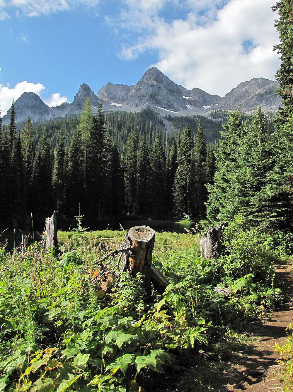
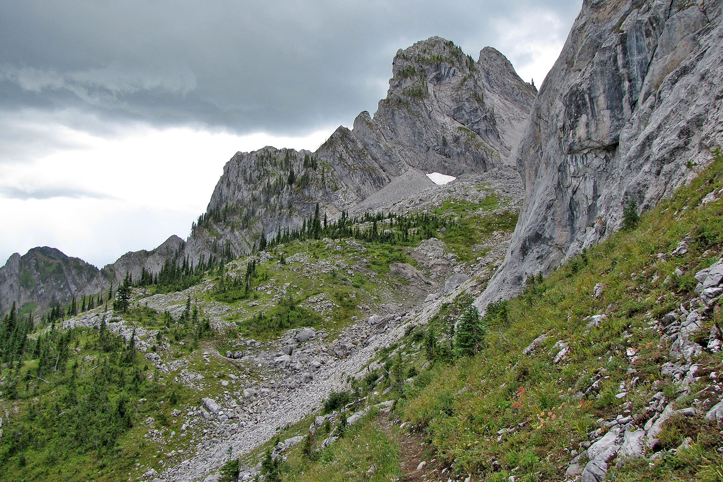
The three pointed peaks are Mama Bear, Baby Bear and Papa Bear
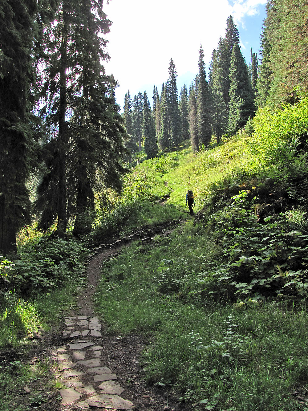
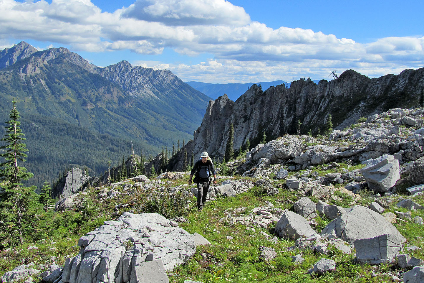
After hiking around the lake we started up Spineback trail
The trail crosses a low point (left) on Spineback
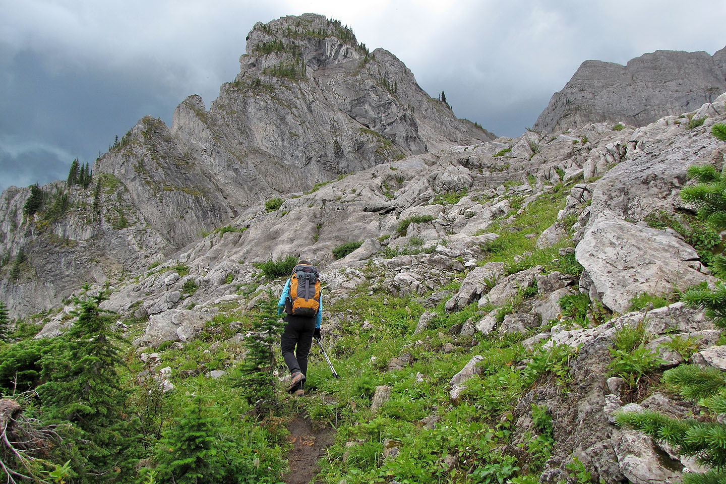
We left the trail and headed to Big White (centre)
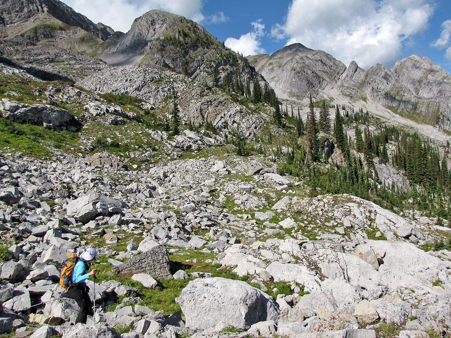
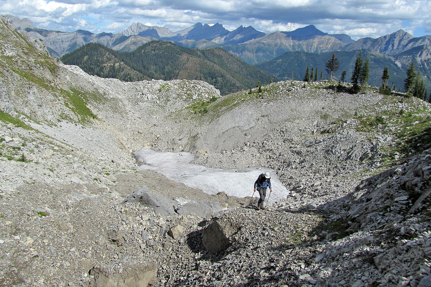
Crossing the first basin
Looking back at Spineback
Dinah skirts a sinkhole
We followed a bench between the trees
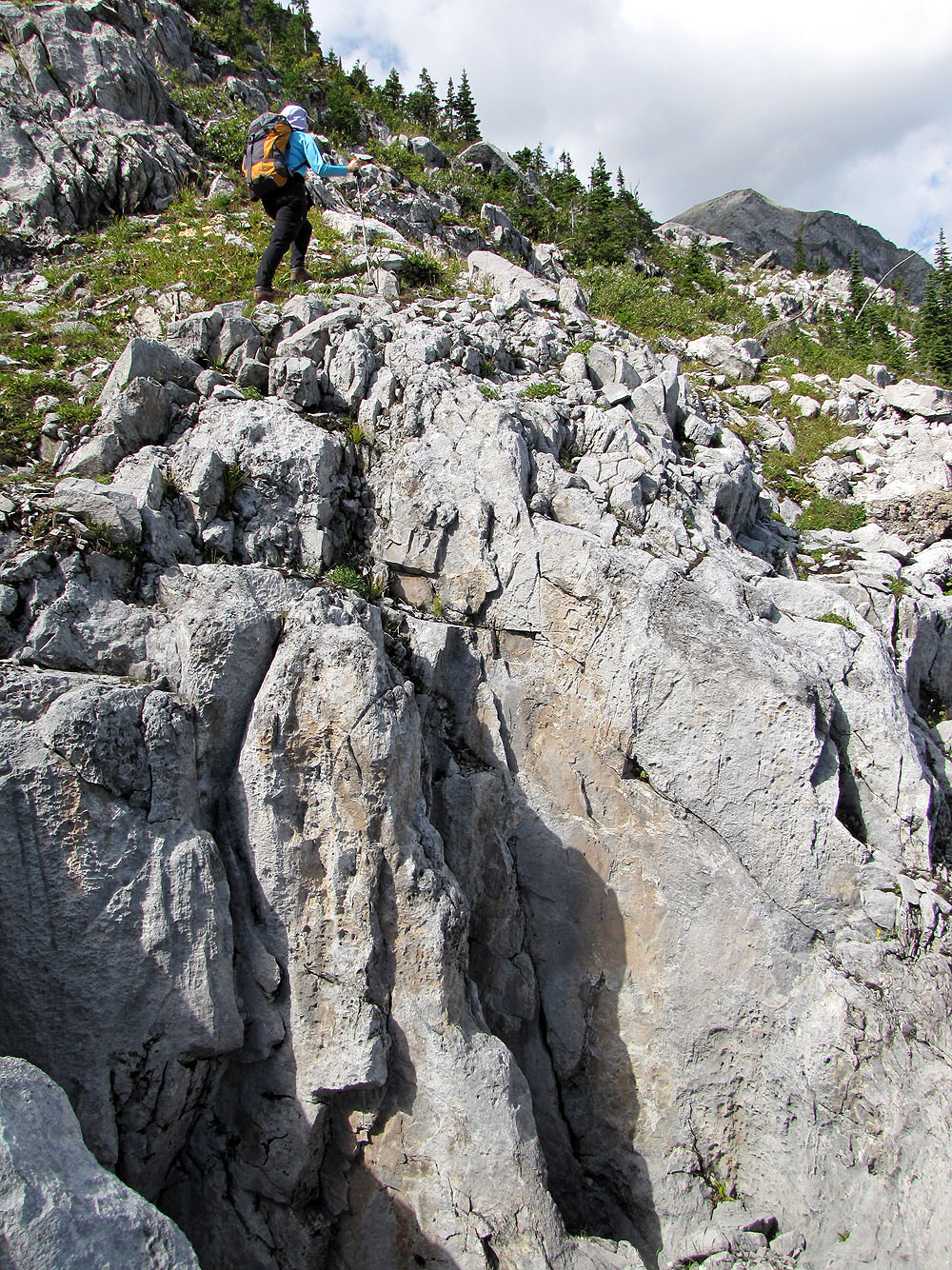
We didn't realize there was a sinkhole here until we passed close bye it (mouse over)
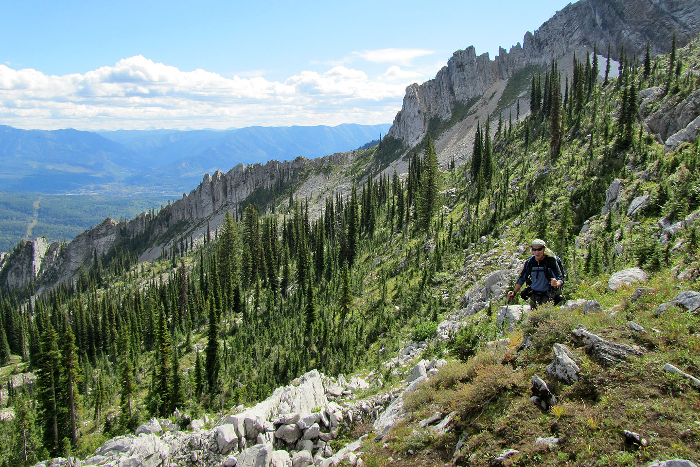
Looking back as we gradually gained elevation
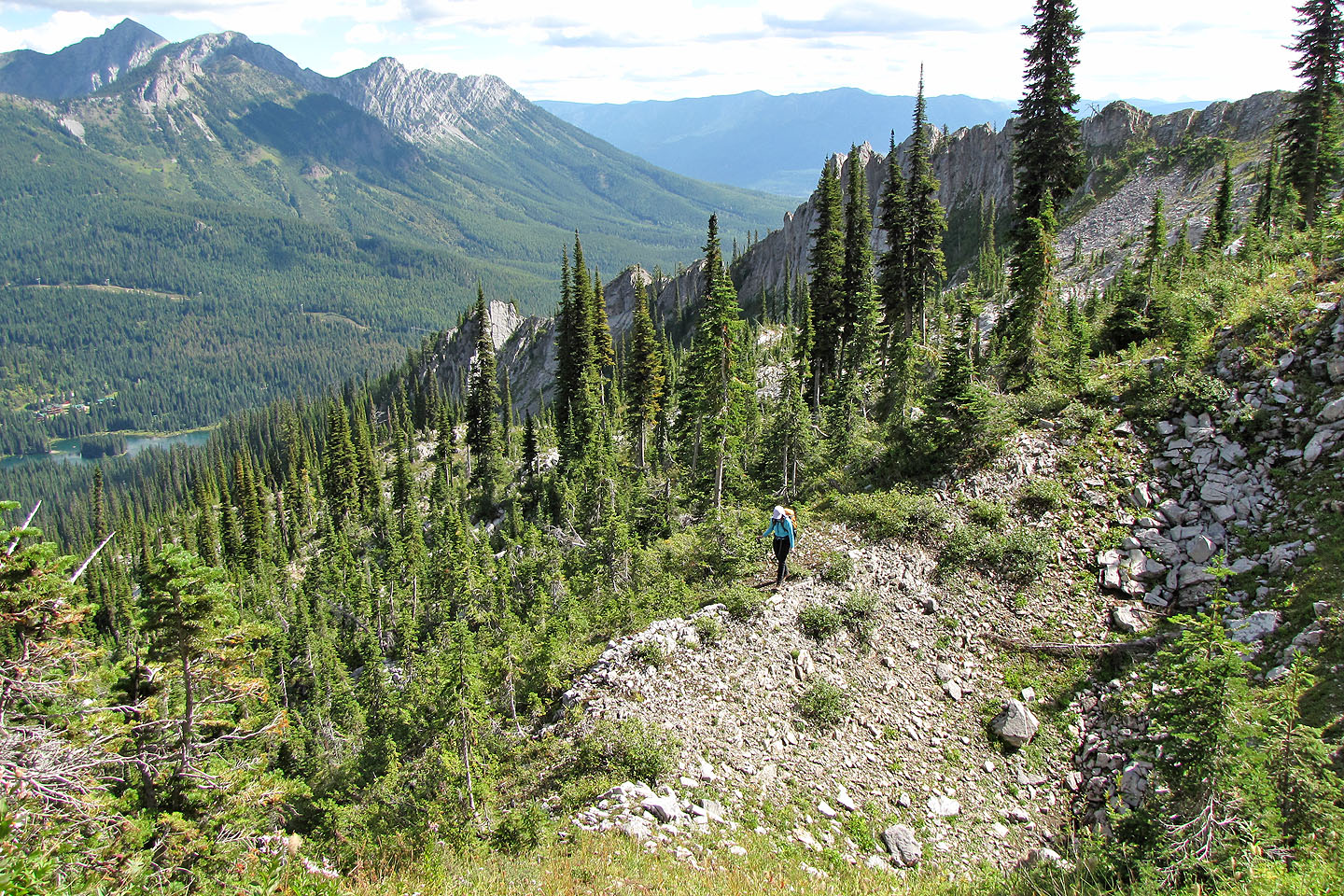
Island Lake lies far below
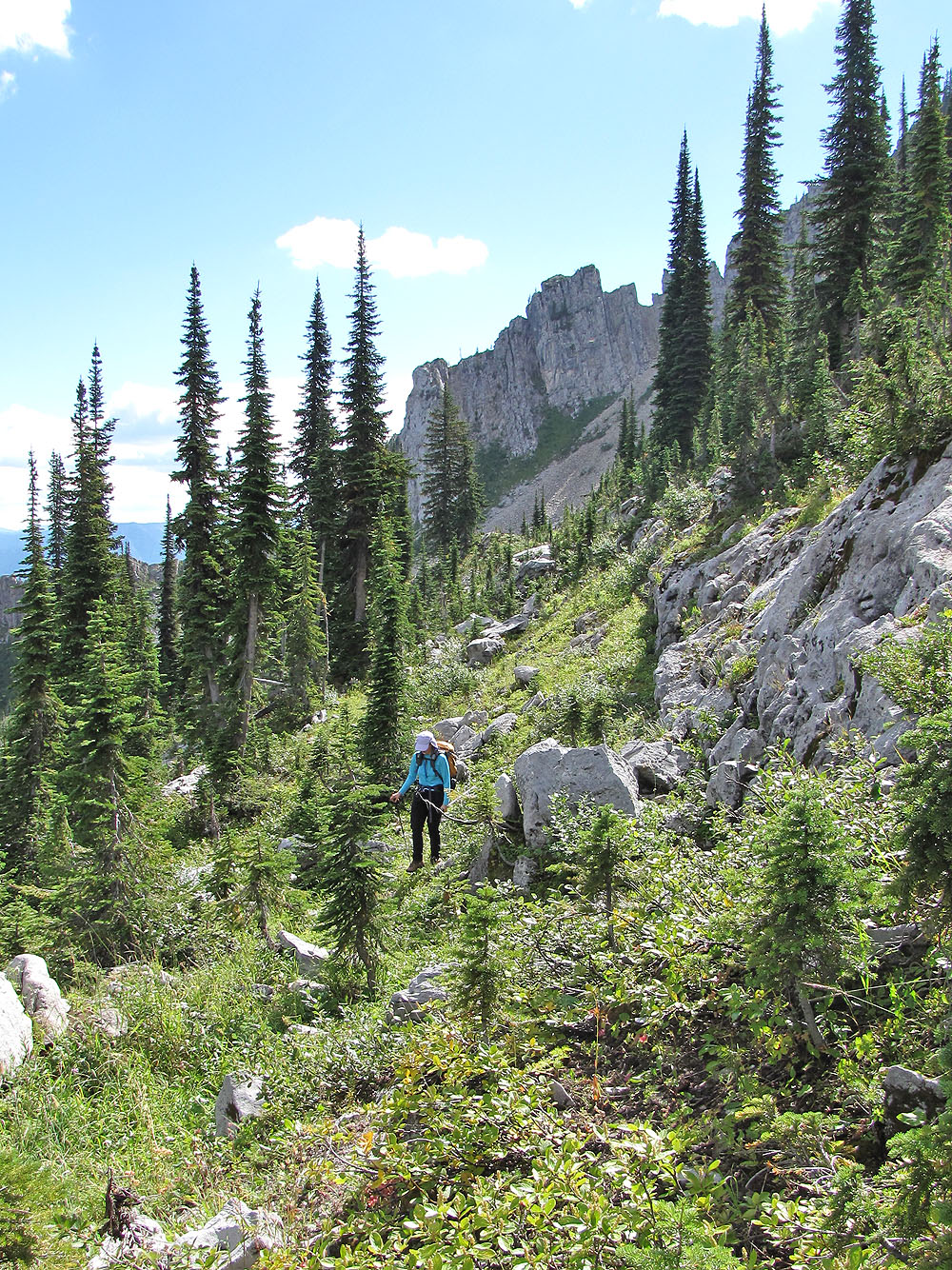
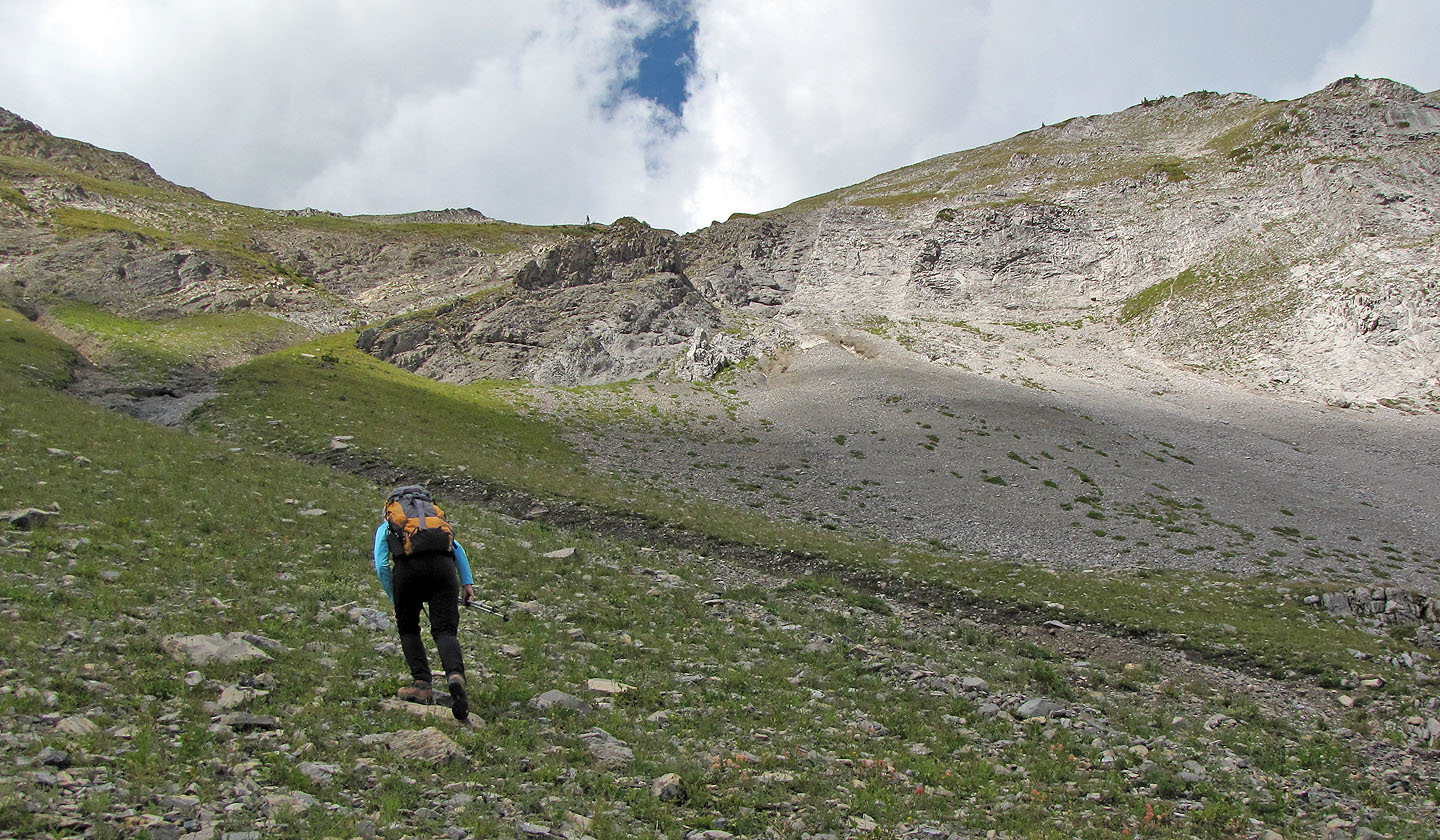
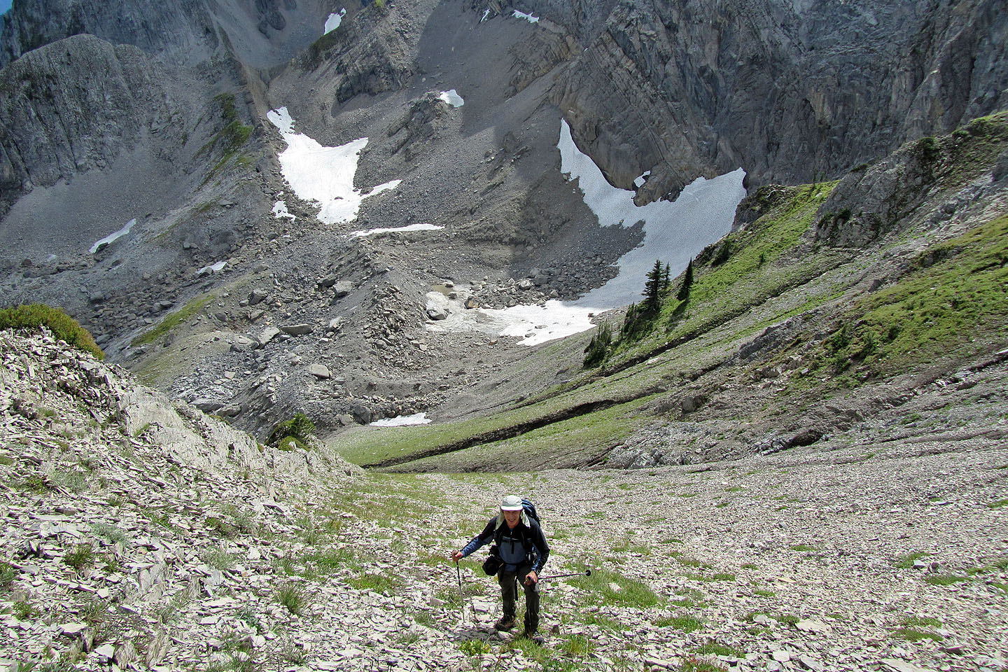
Approaching Big White while following the bench
Dinah crosses a basin at the bottom. What we thought was a gully ahead of her was actually a huge sinkhole.
Big White rises above.
We kept left of the sinkhole, trying not to lose much elevation
Behind is a large, deep sinkhole
Two of the white specks below the peak are mountain goats
The grassy slopes lead to a hidden gully
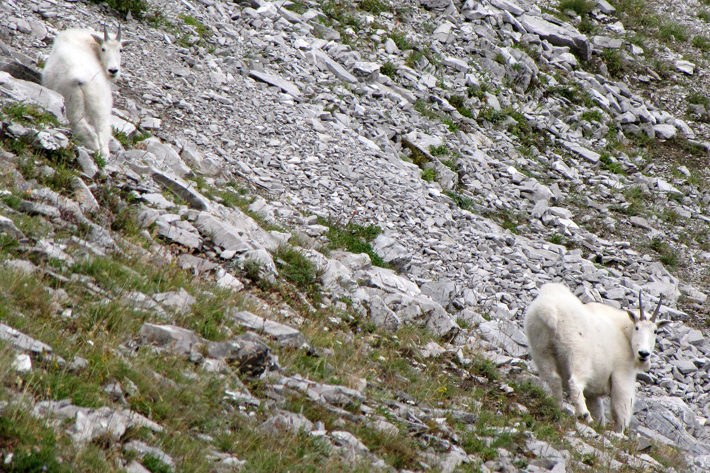
The goats didn't flee but they kept an eye on us
Almost on the summit
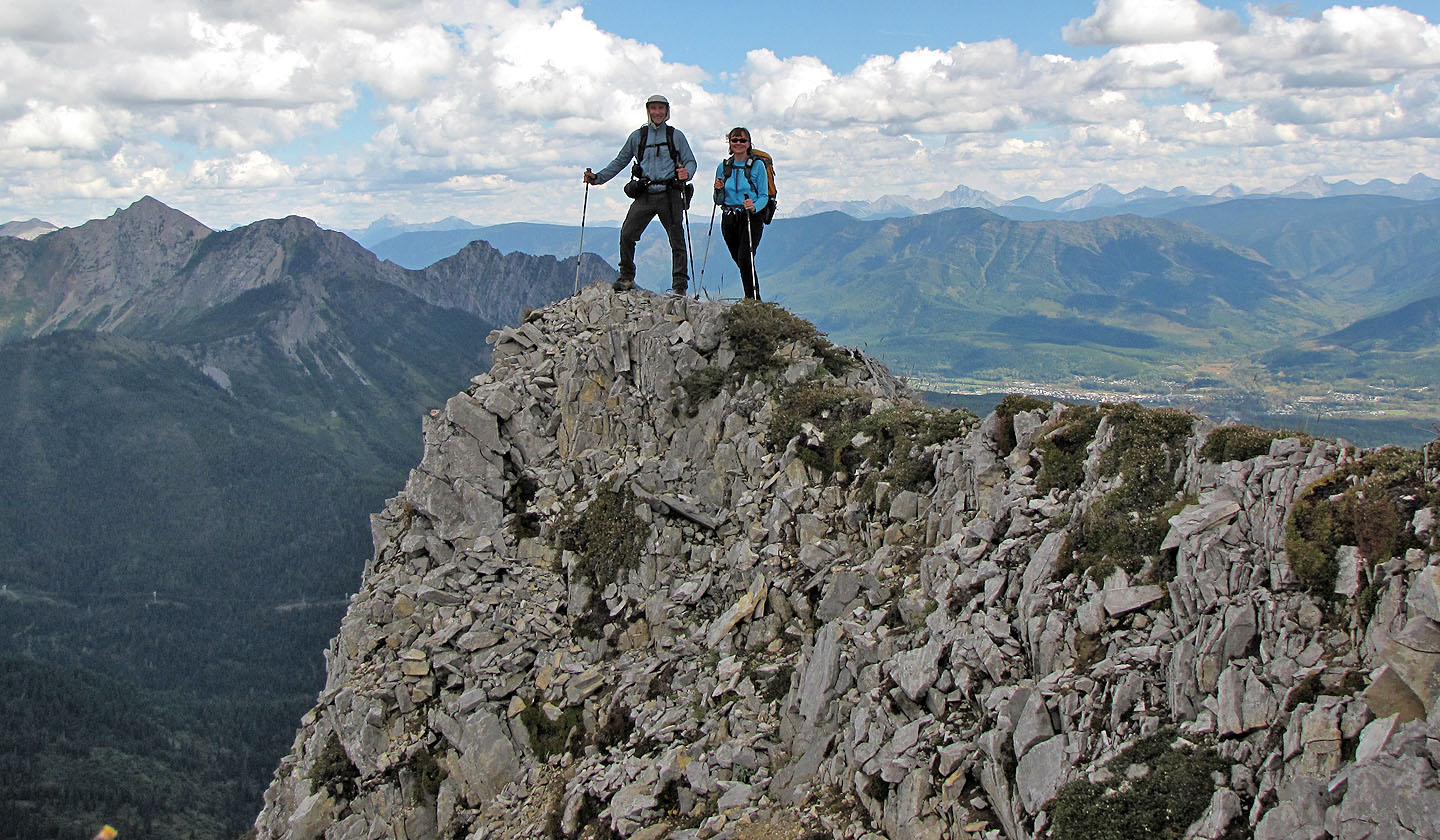
On top of Big White
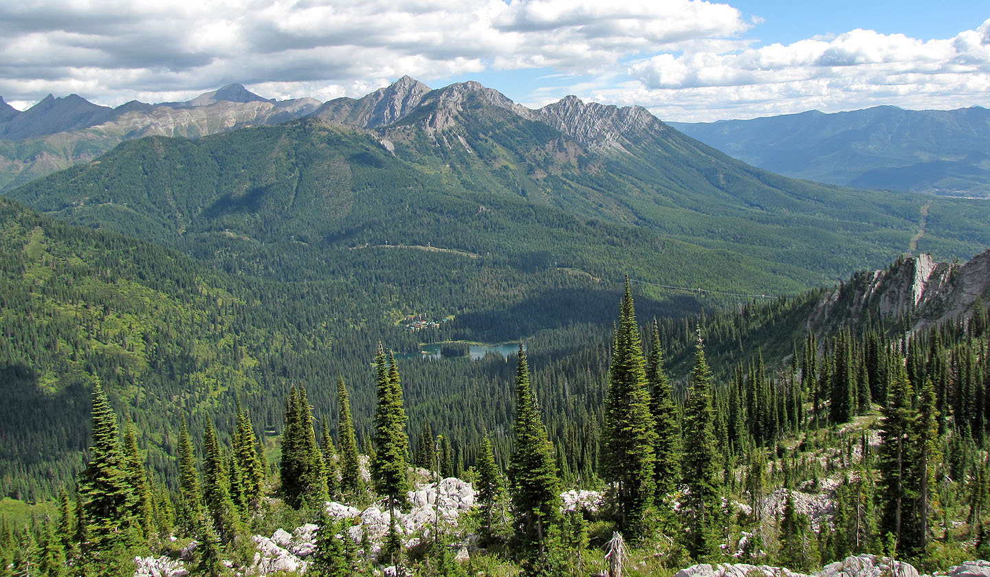
Island Lake seen from the summit
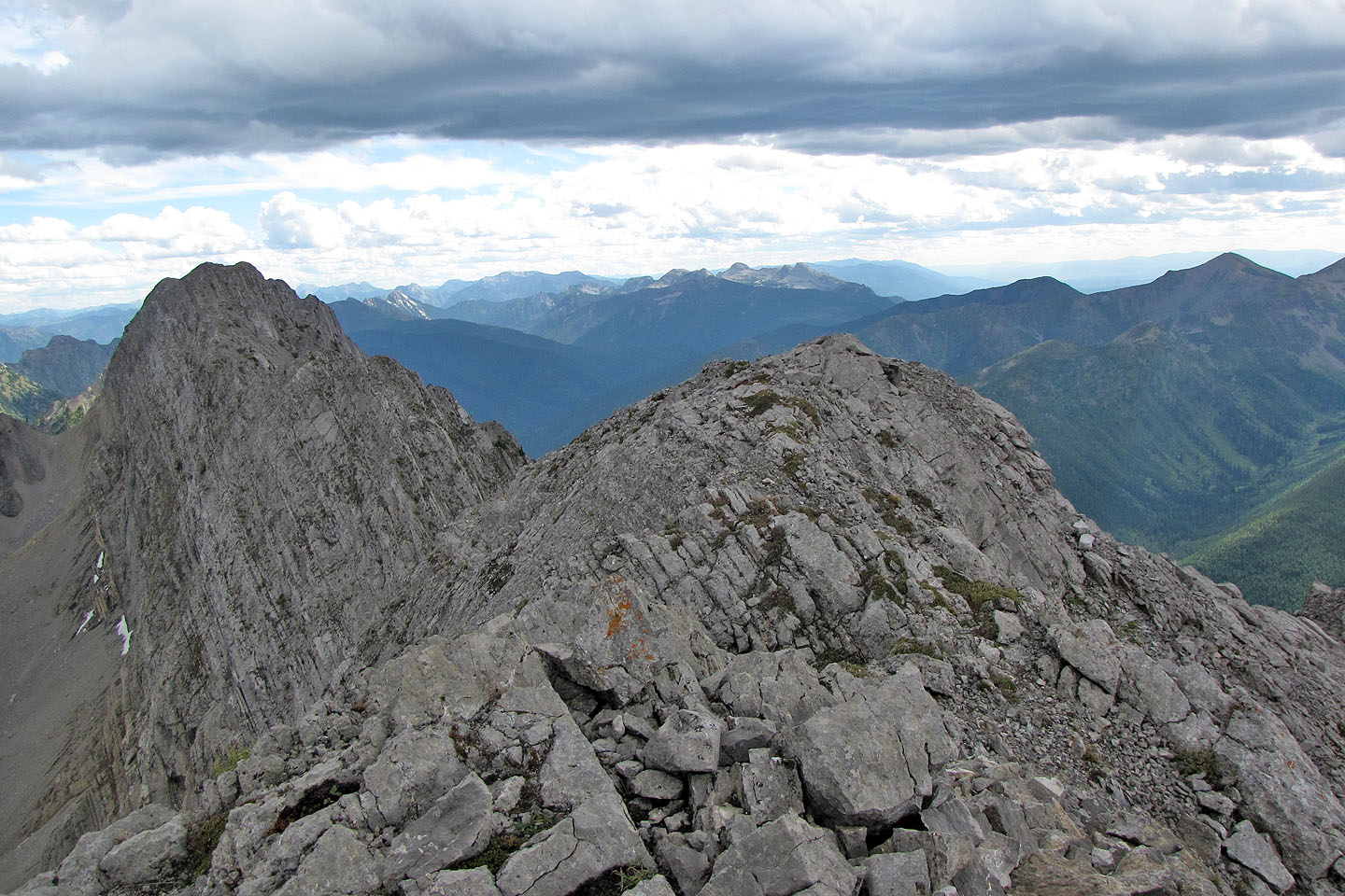
Dramatic drop on the west side of the ridge
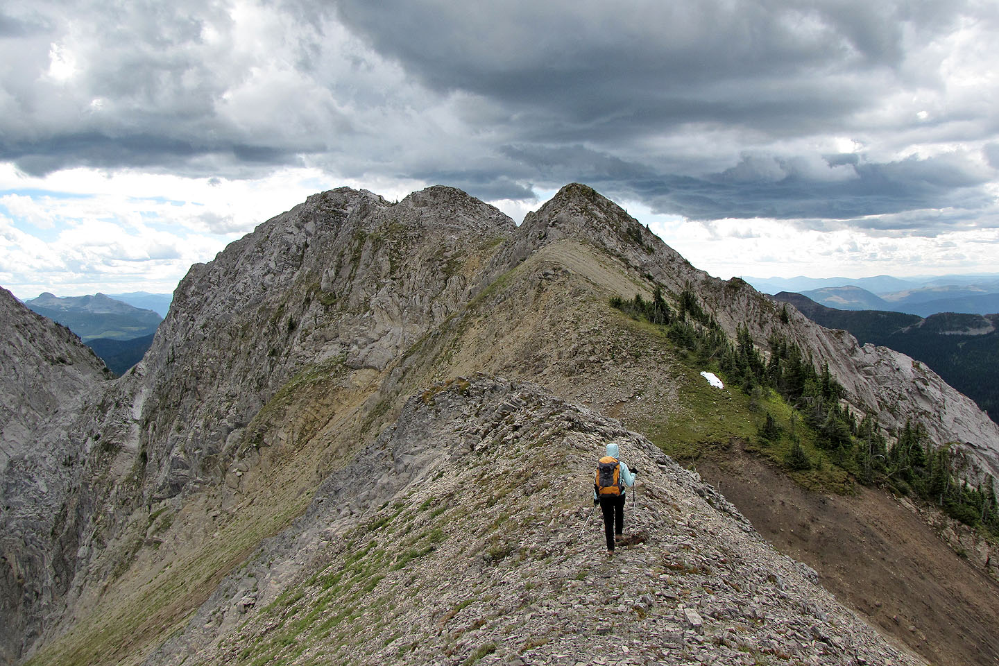
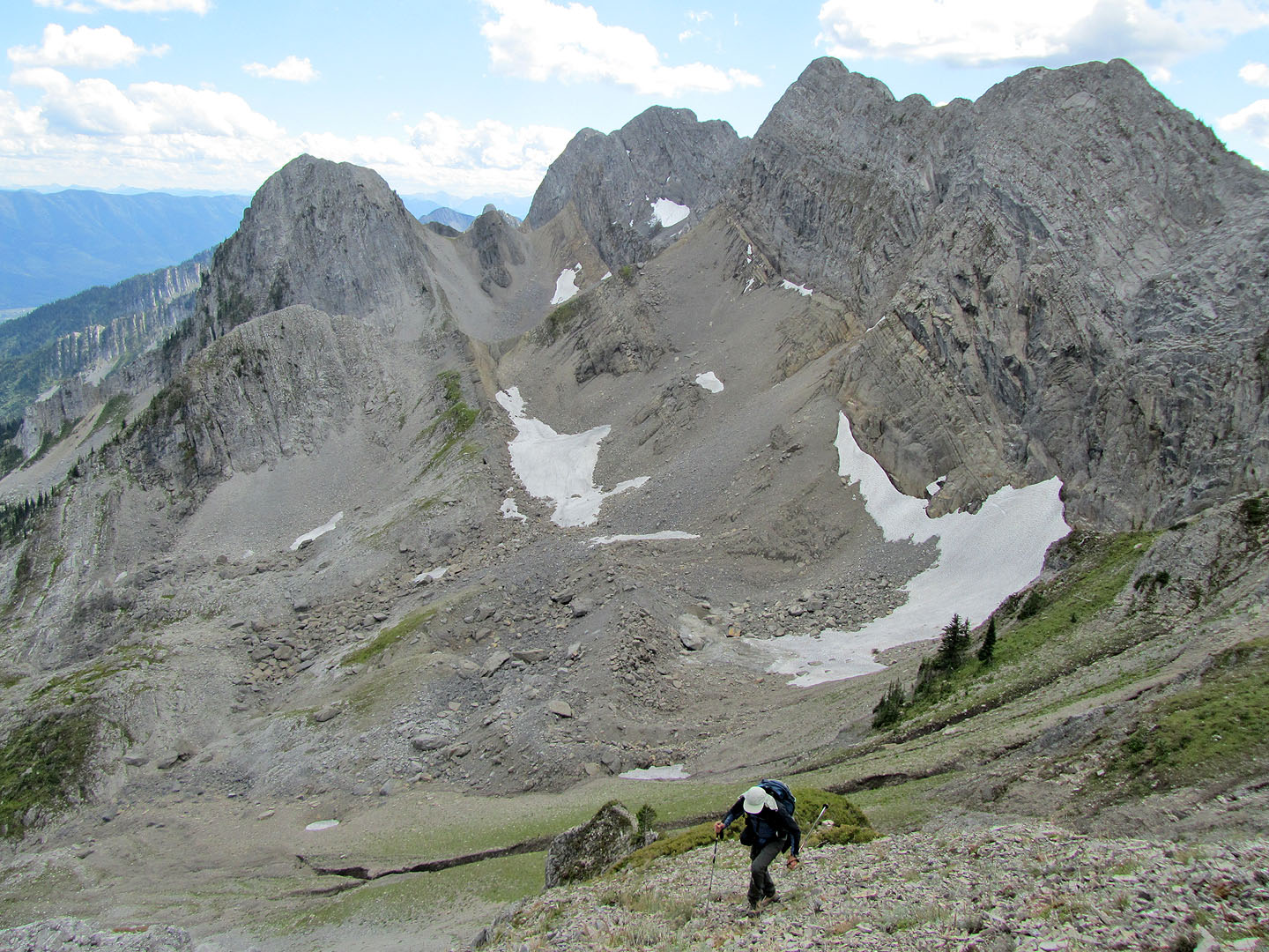
Heading to the outlier
Looking back at Big White
The outlier is actually a long ridge, but this was taken from the highest point
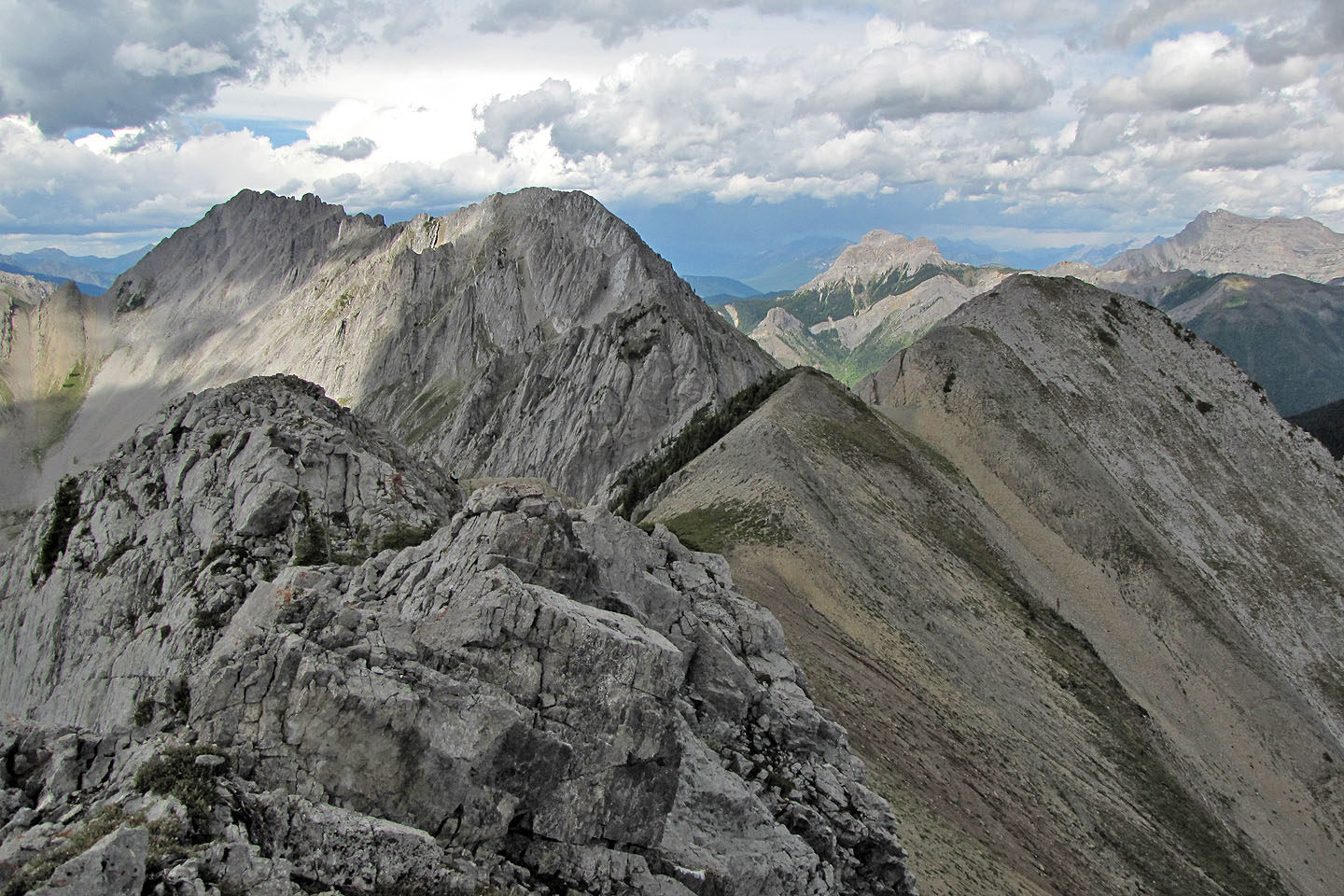
Wolverine Peak (centre left) and Big White (right)
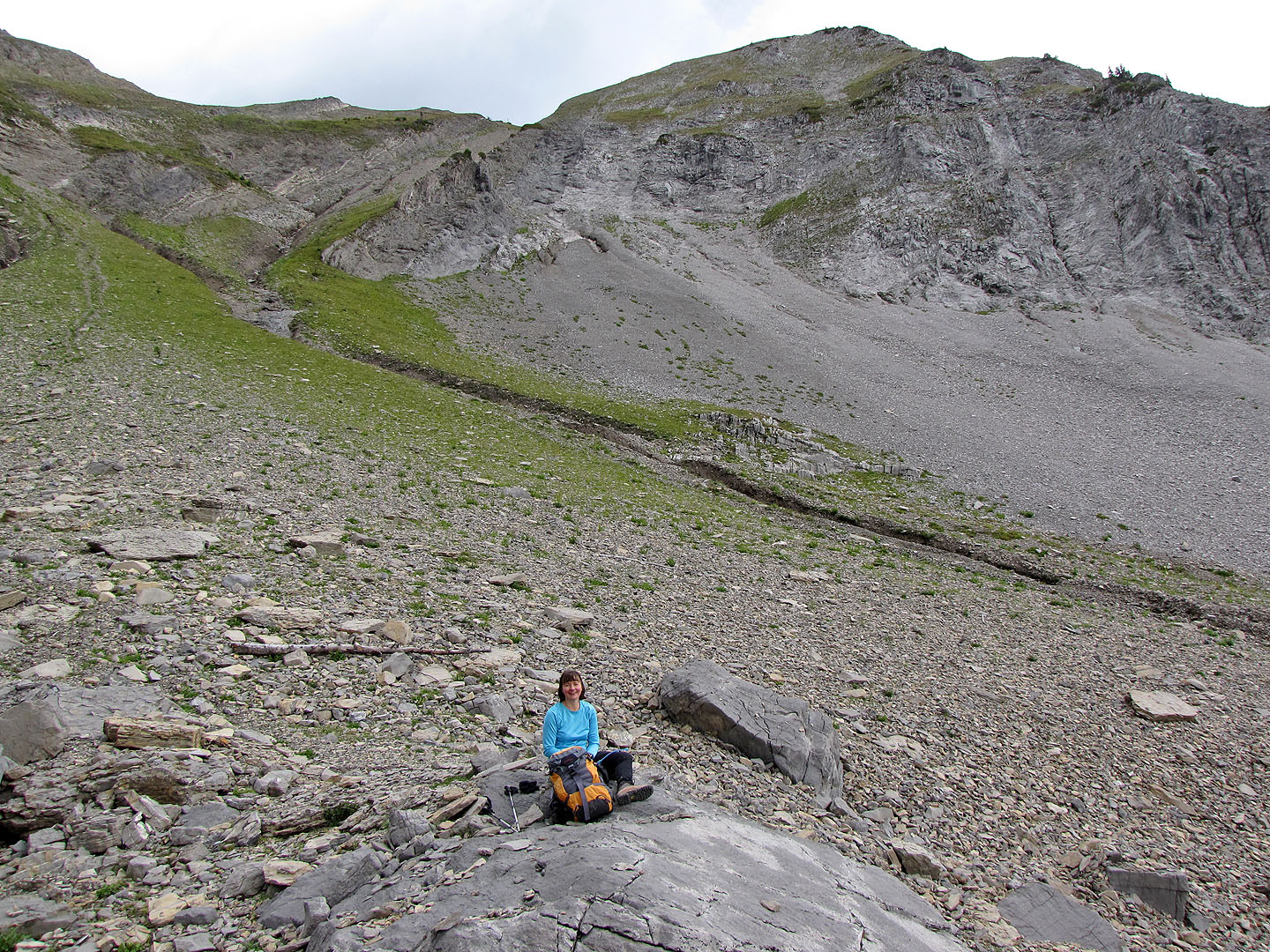
Taking a break below Big White
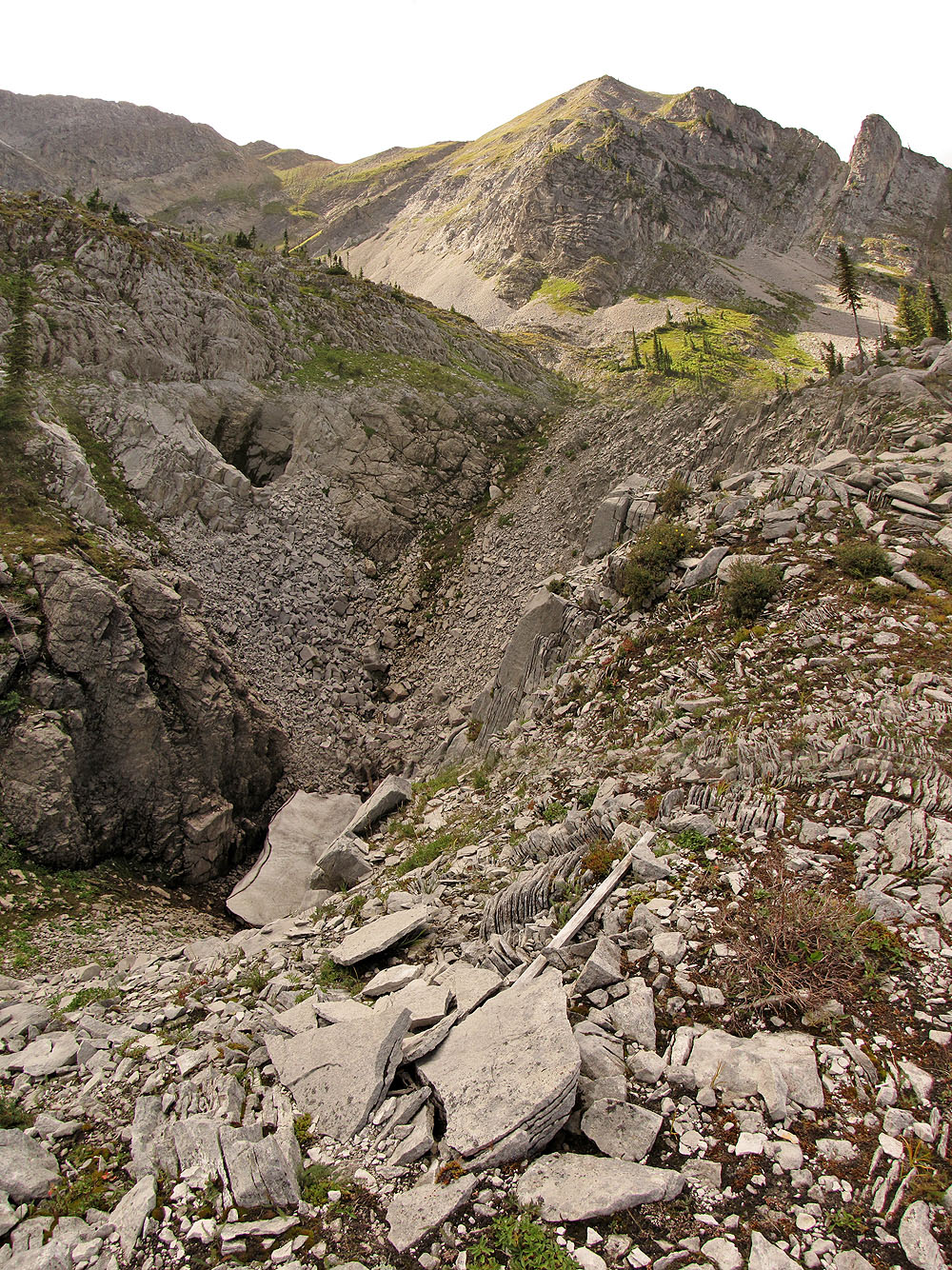
On the way back we passed another sinkhole and a shaft-like hole (upper left)
From the crest of Spineback, the trail continues to the basin between Baby Bear and Papa Bear
Looking back at Spineback
Papa Bear looms above
The basin between the Bears
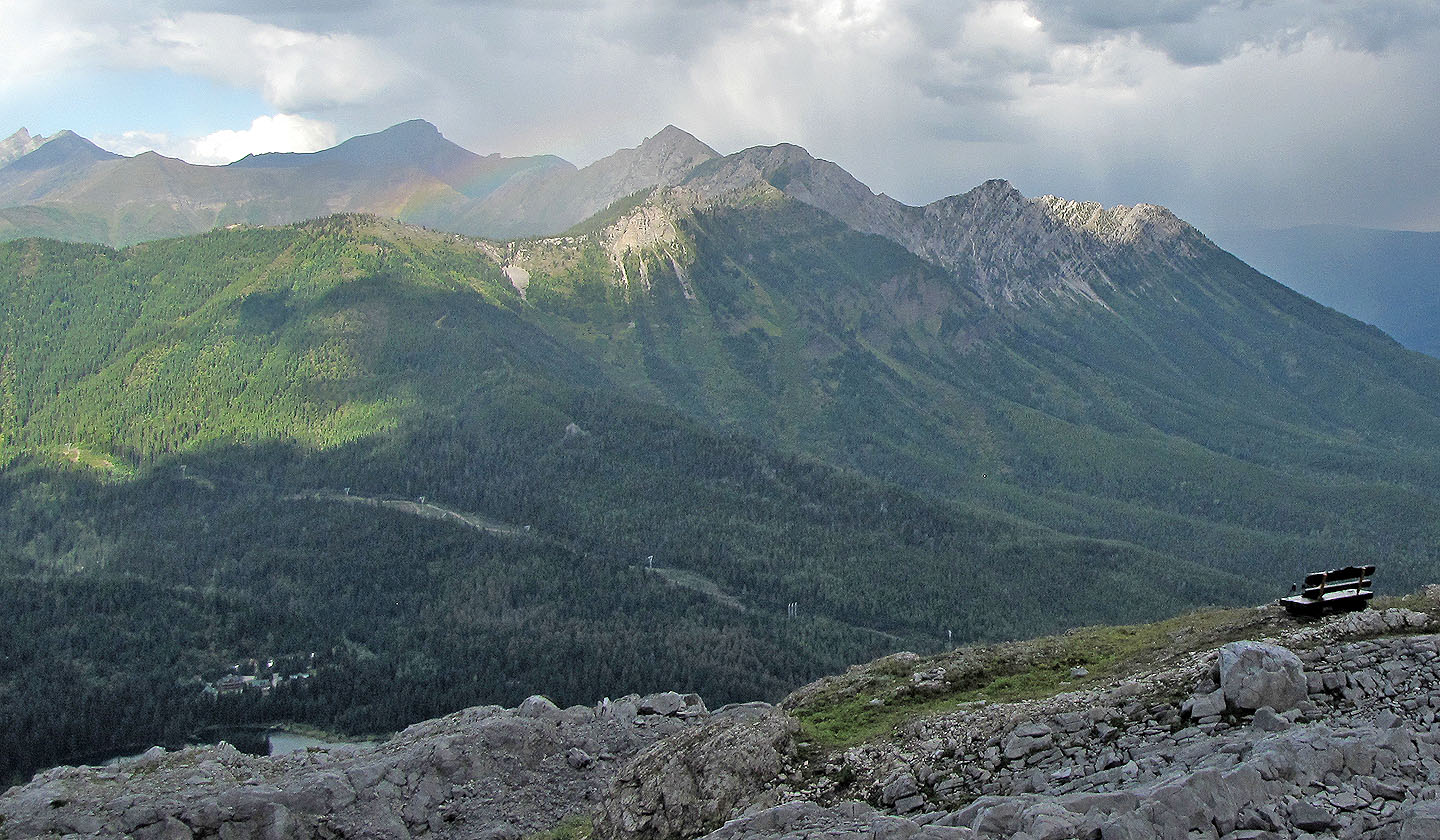
Spineback trail ends at the second bench. A faint rainbow appears over Five Star Summit.
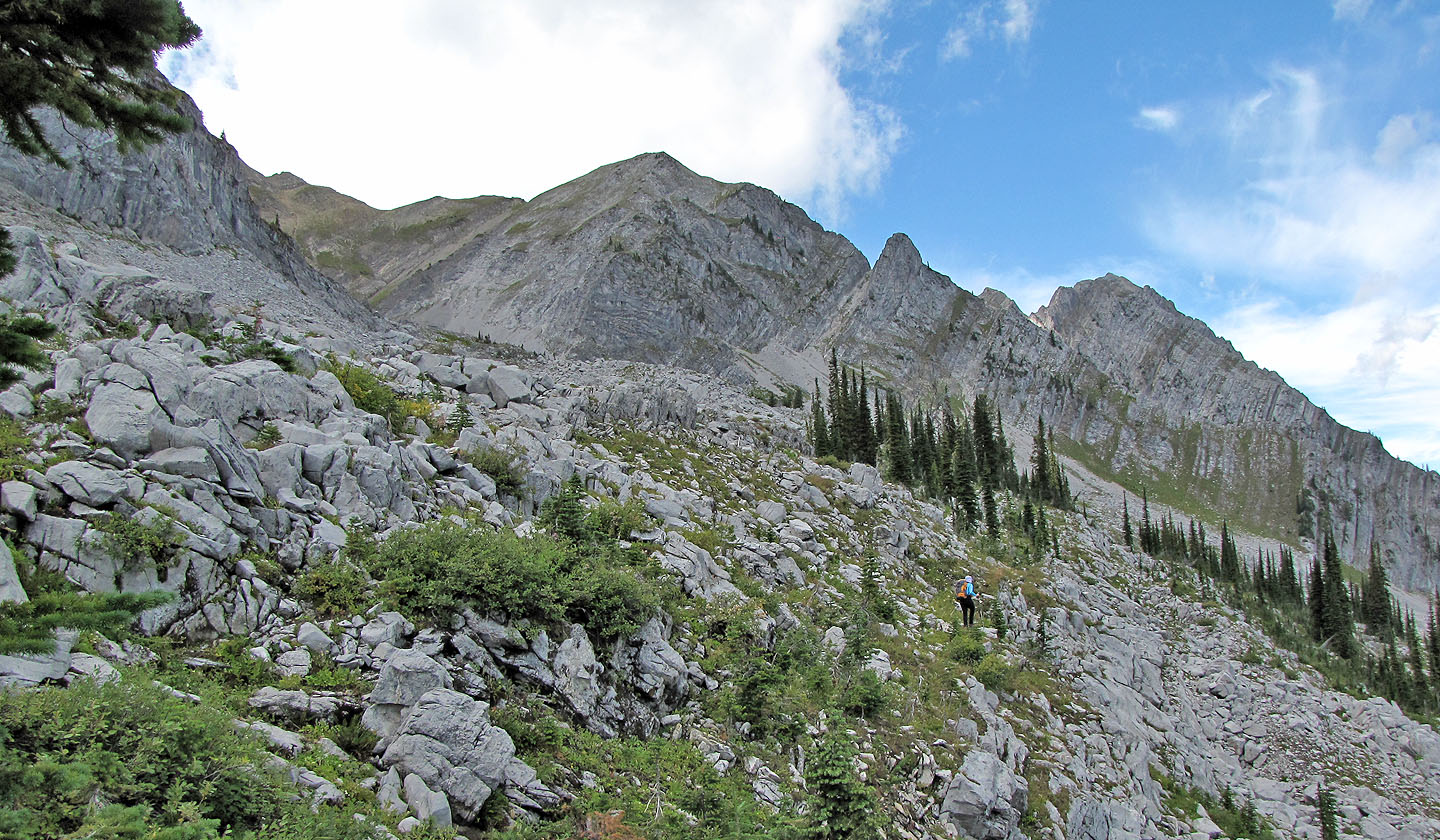
Heading down Spineback we had good views of the slopes we crossed to reach the base of Big White
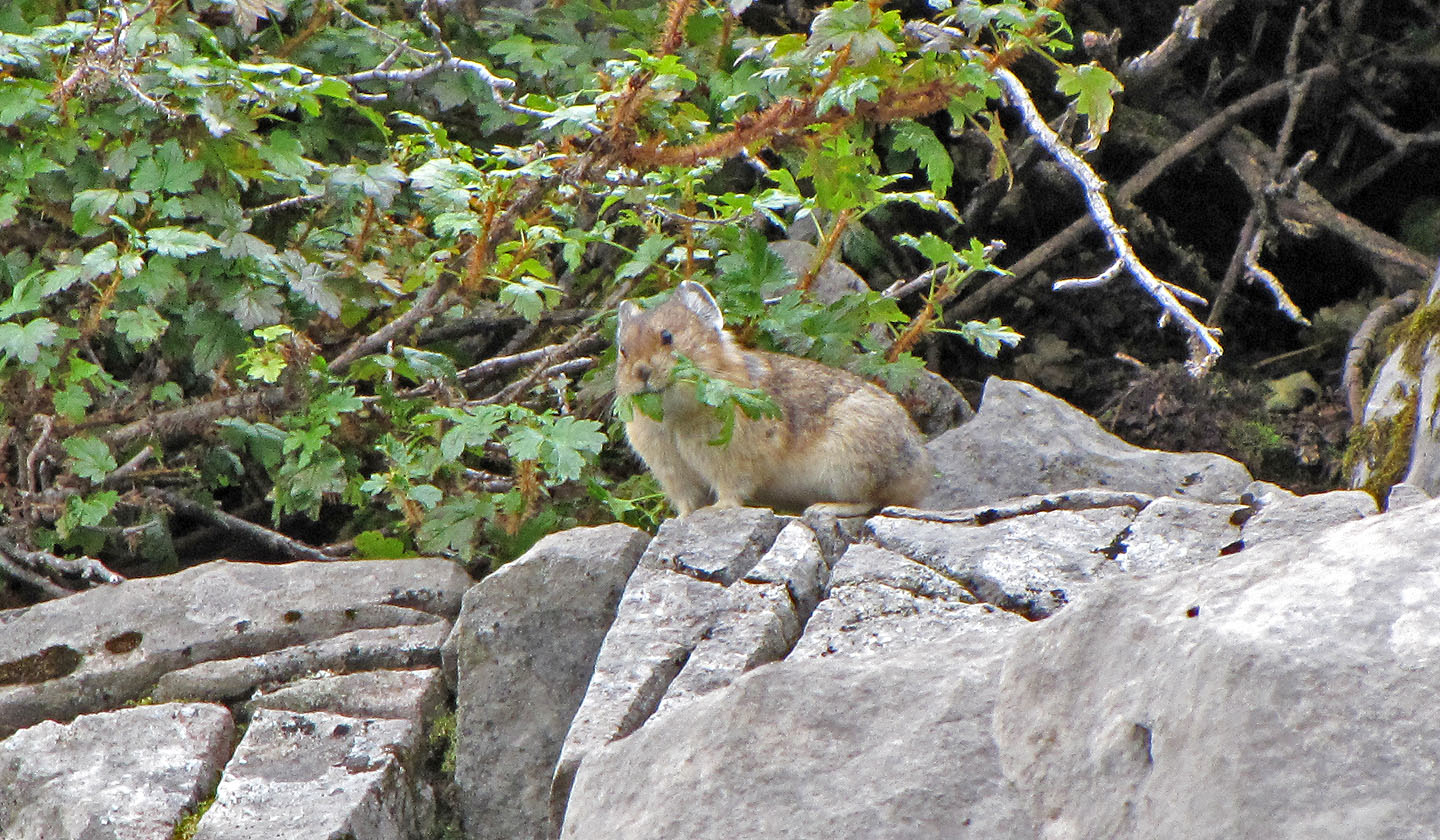
While hiking on Spineback trail we saw over a dozen pikas
82 G/11 Fernie, 82 G/6 Elko