bobspirko.ca | Home | Canada Trips | US Trips | Hiking | Snowshoeing | MAP | About

Roche à Perdrix
Jasper National Park, Alberta
August 23, 2003
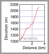
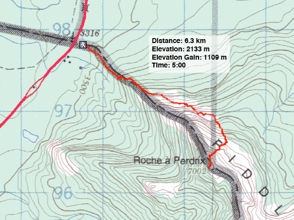
Distance: 6.3 m (3.9 mi)
Cumulative Elevation Gain: 1155 m (3789 ft)
Given the exotic name, I was expecting Roche à Perdrix to be a little more exciting. it is, however, mostly a hike but one worthwhile because of the views.
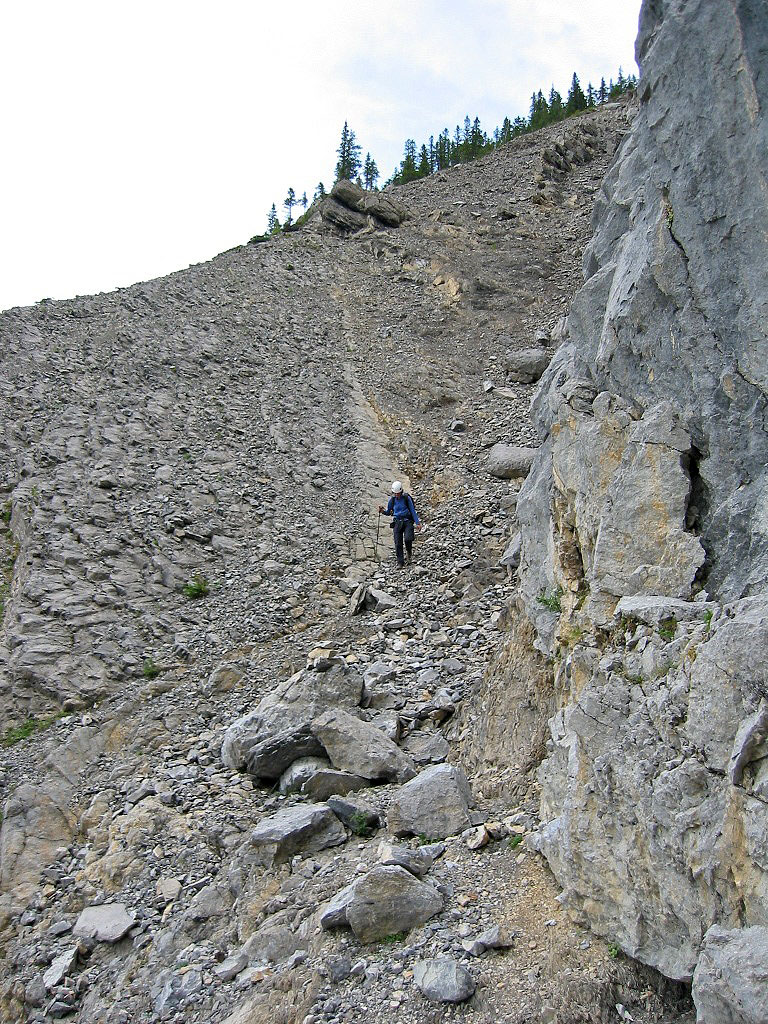
The route begins on a trail on the northwest ridge but diverts to the left side of the ridge to run under massive cliffs. Eventually it starts to curve right until under the summit where Dinah and I hiked and scrambled up the east slope.
KML and GPX Tracks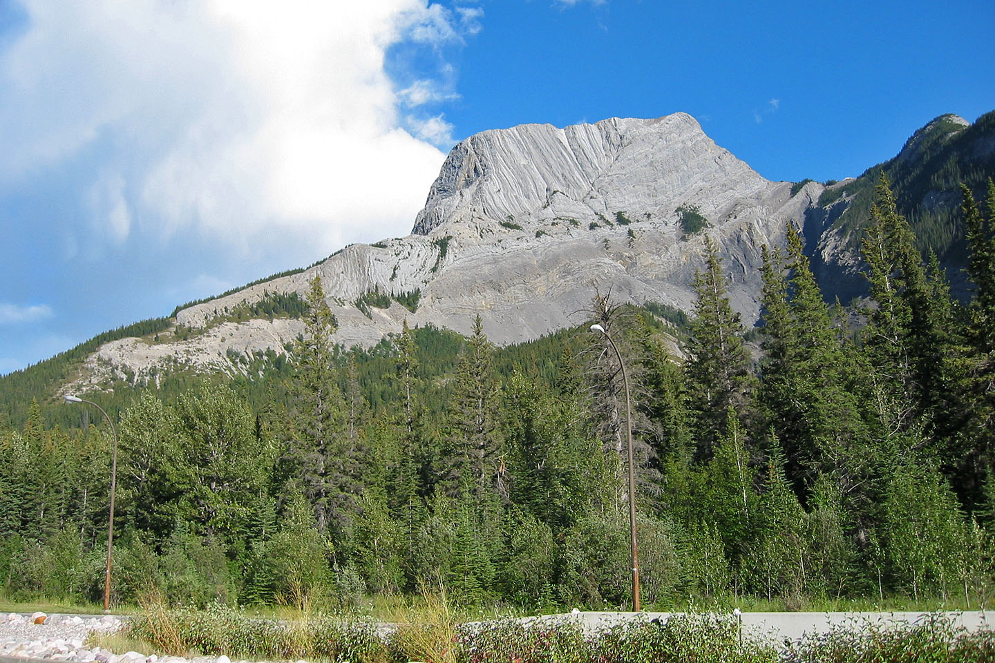
Roche à Perdrix from the highway
On the trail
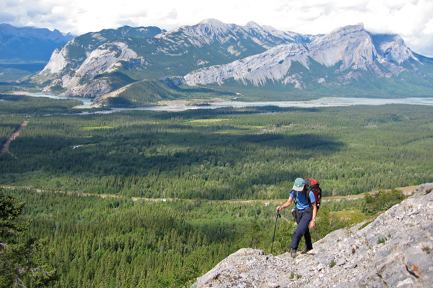
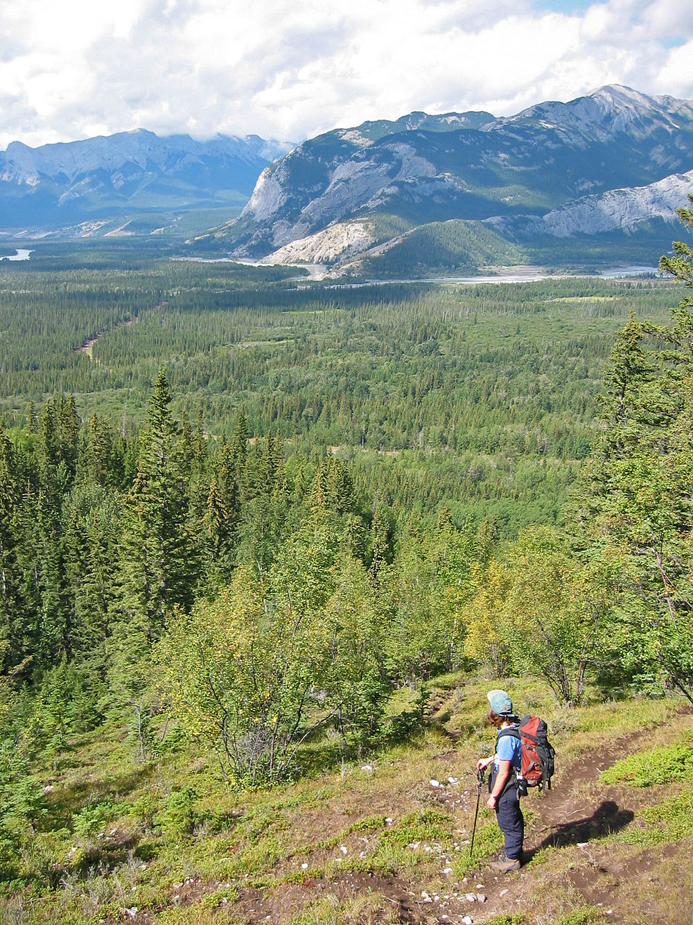
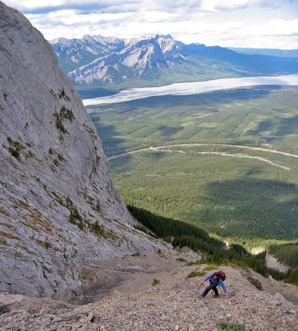
Athabasca River appears below

Hiking along the base of the cliff
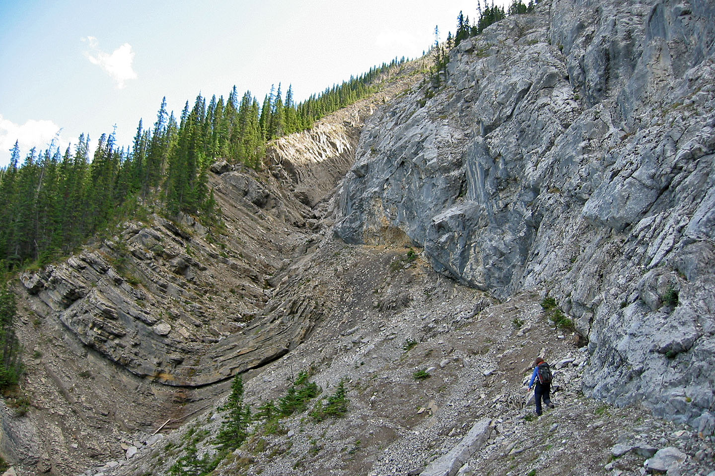
Distinct fold in the rock along the path
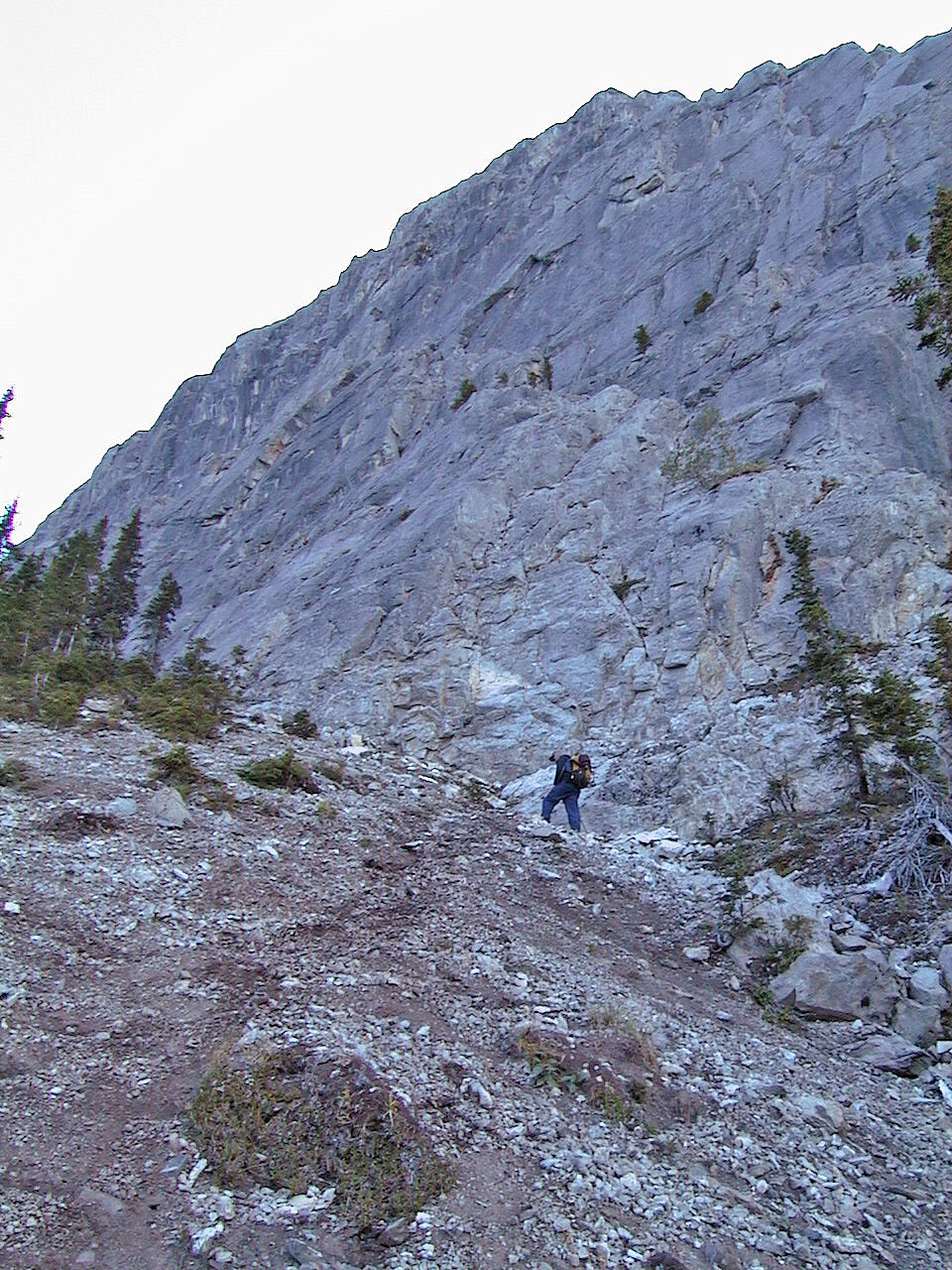
Hiking up below the cliffs
Ascending the backside
Mostly a hike up
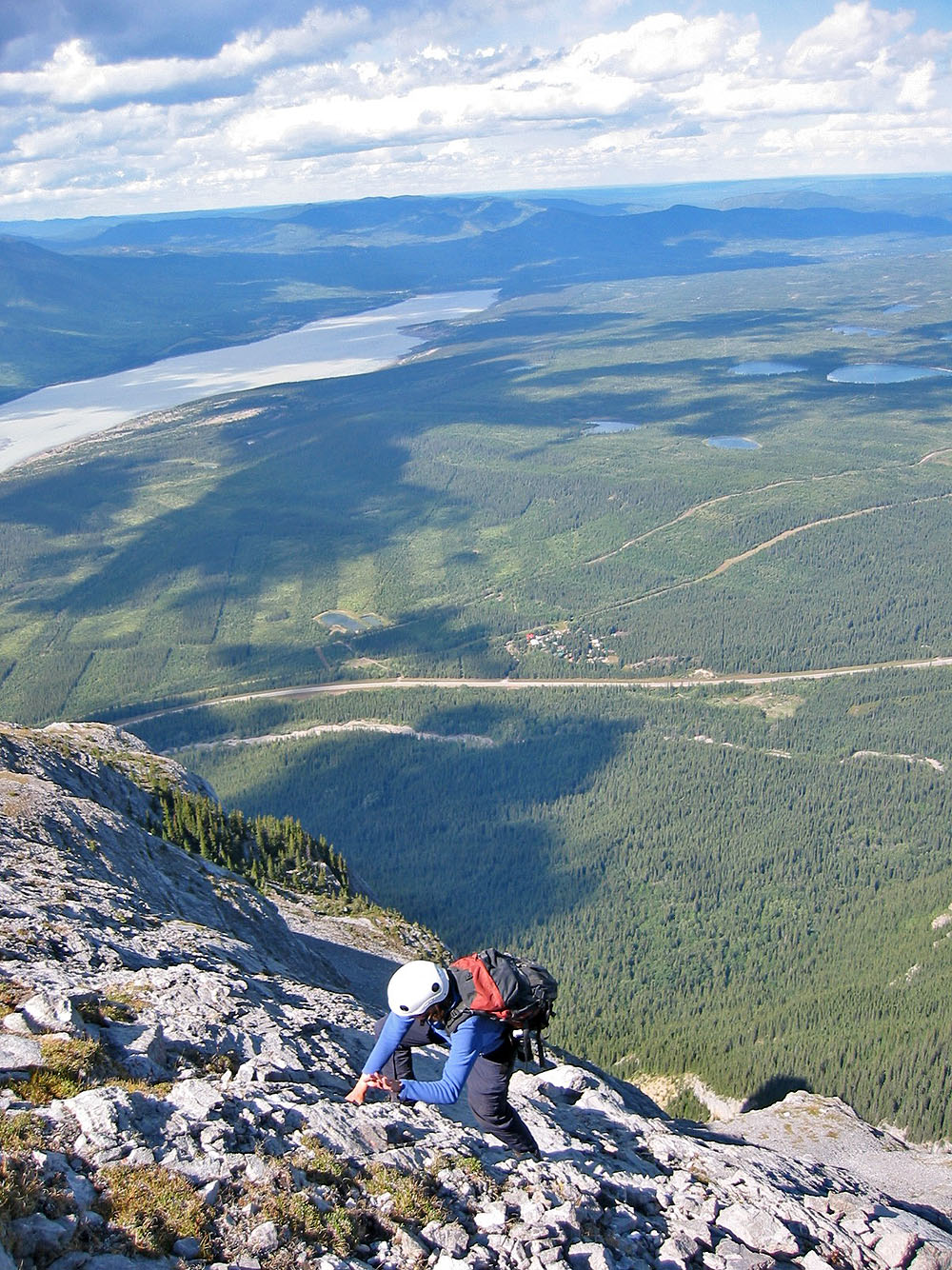
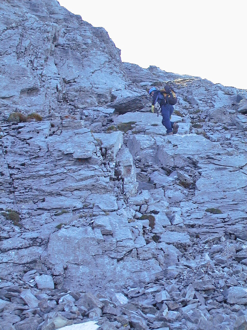
Some scrambling near the top
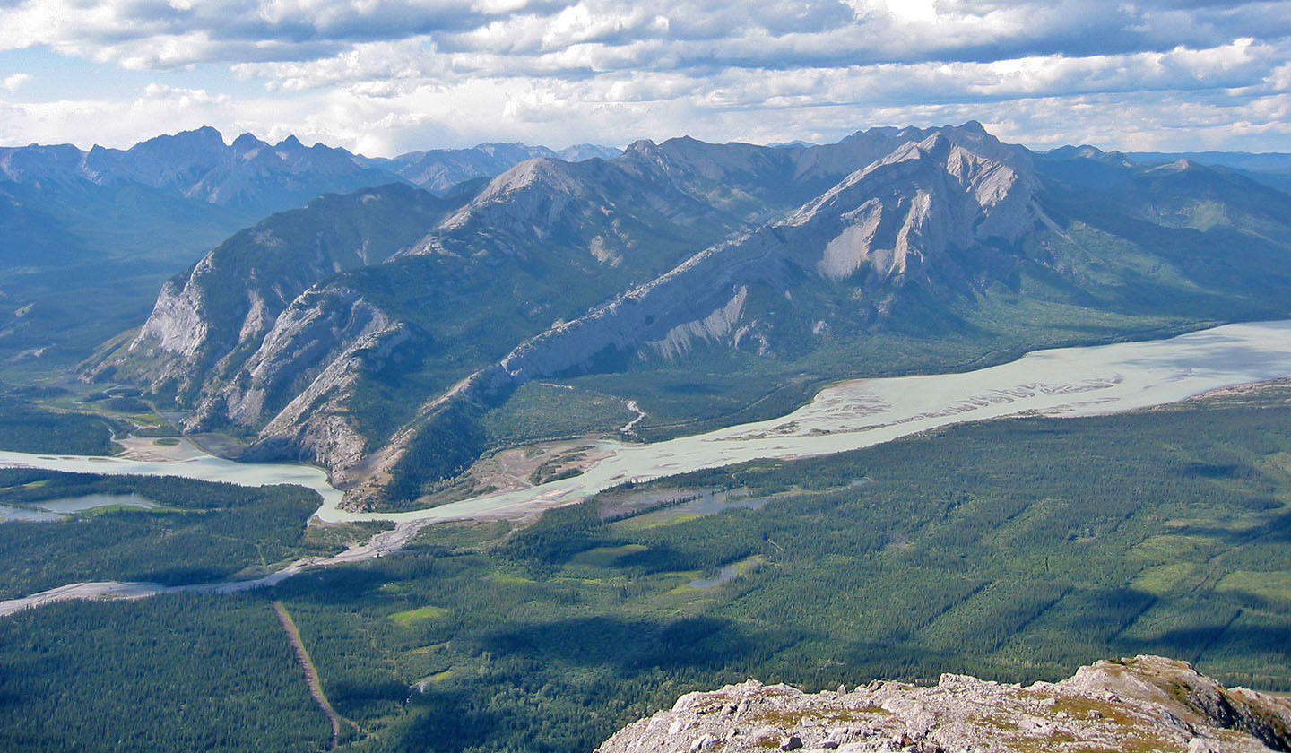
Looking across the river
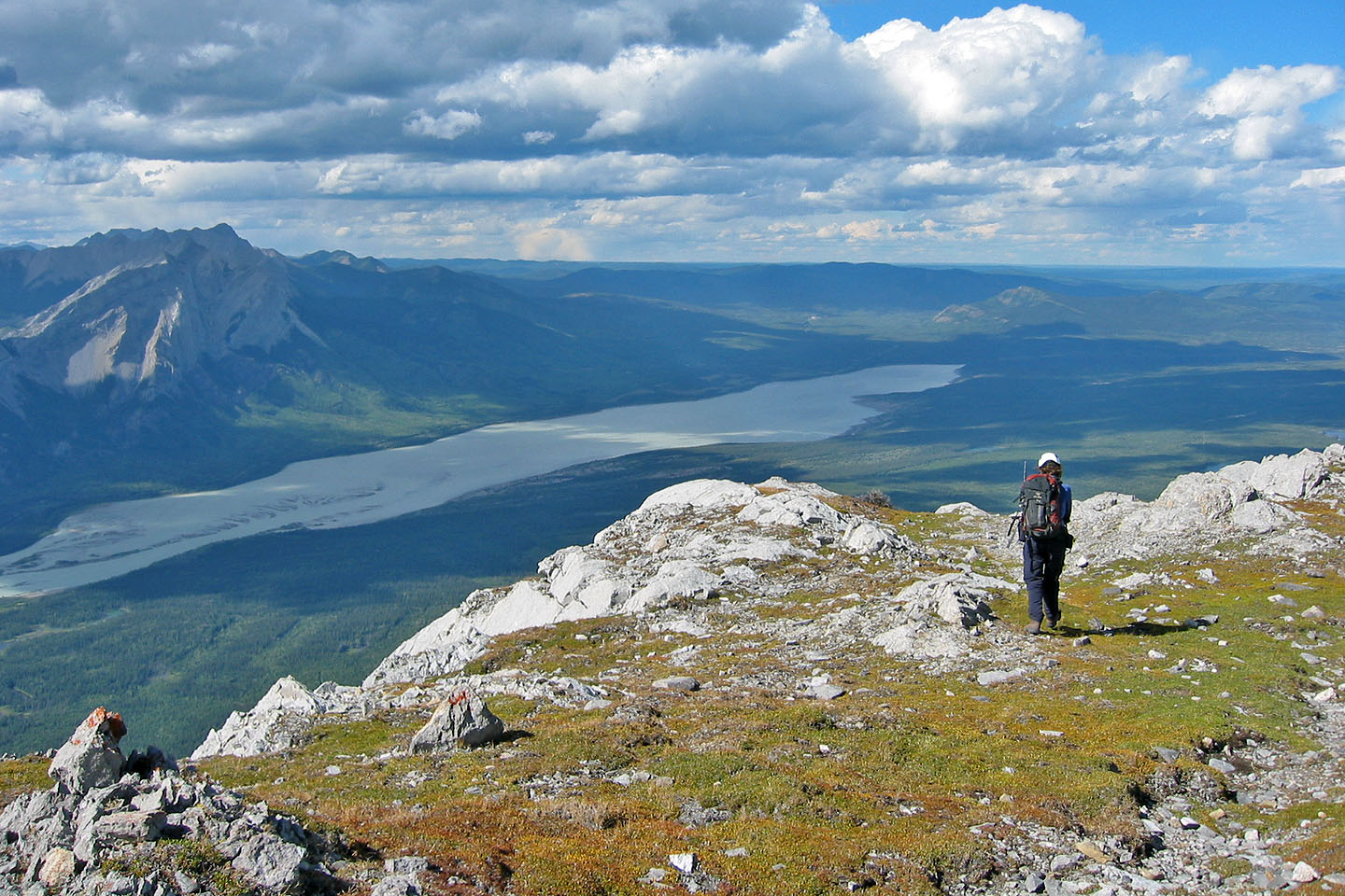
On the summit plateau
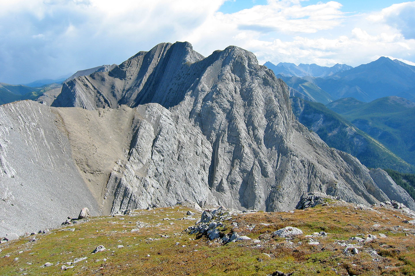
For those who wish, it's possible to explore further
Going back down
83 F/4 Miette