bobspirko.ca | Home | Canada Trips | US Trips | Hiking | Snowshoeing | MAP | About
Sunwapta Peak
Jasper National Park, Alberta
August 20, 2005
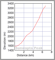
Distance: 11.5 km (7.1 mi)
Cumulative Elevation Gain: 1760 m (5774 ft)
Dinah and I should've slept in for this trip as it was quicker than we expected. At our unhurried pace, we did the trip in less than eight hours.
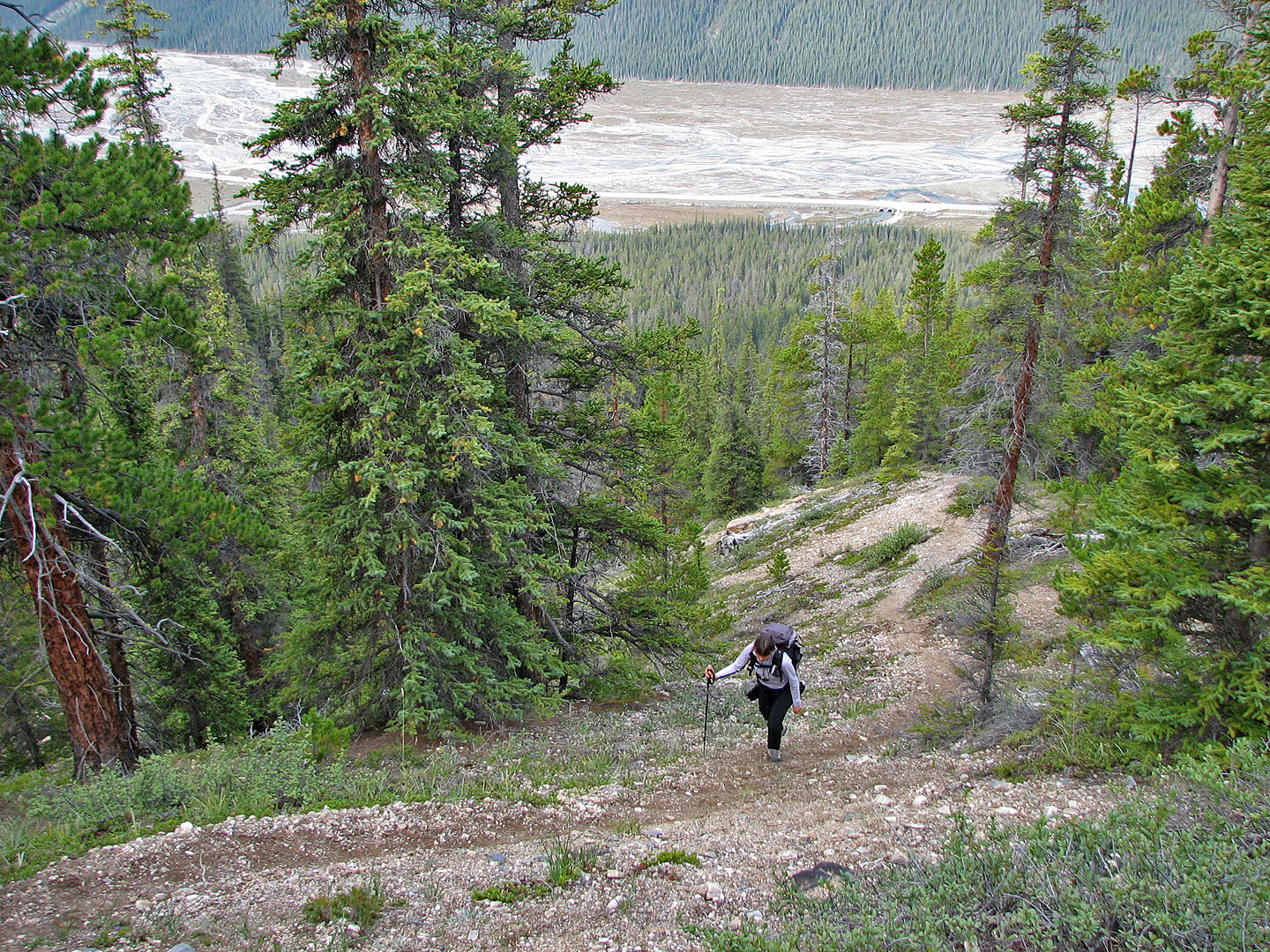
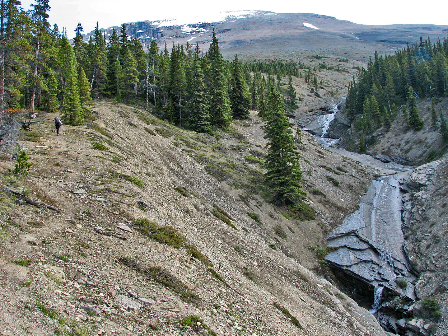
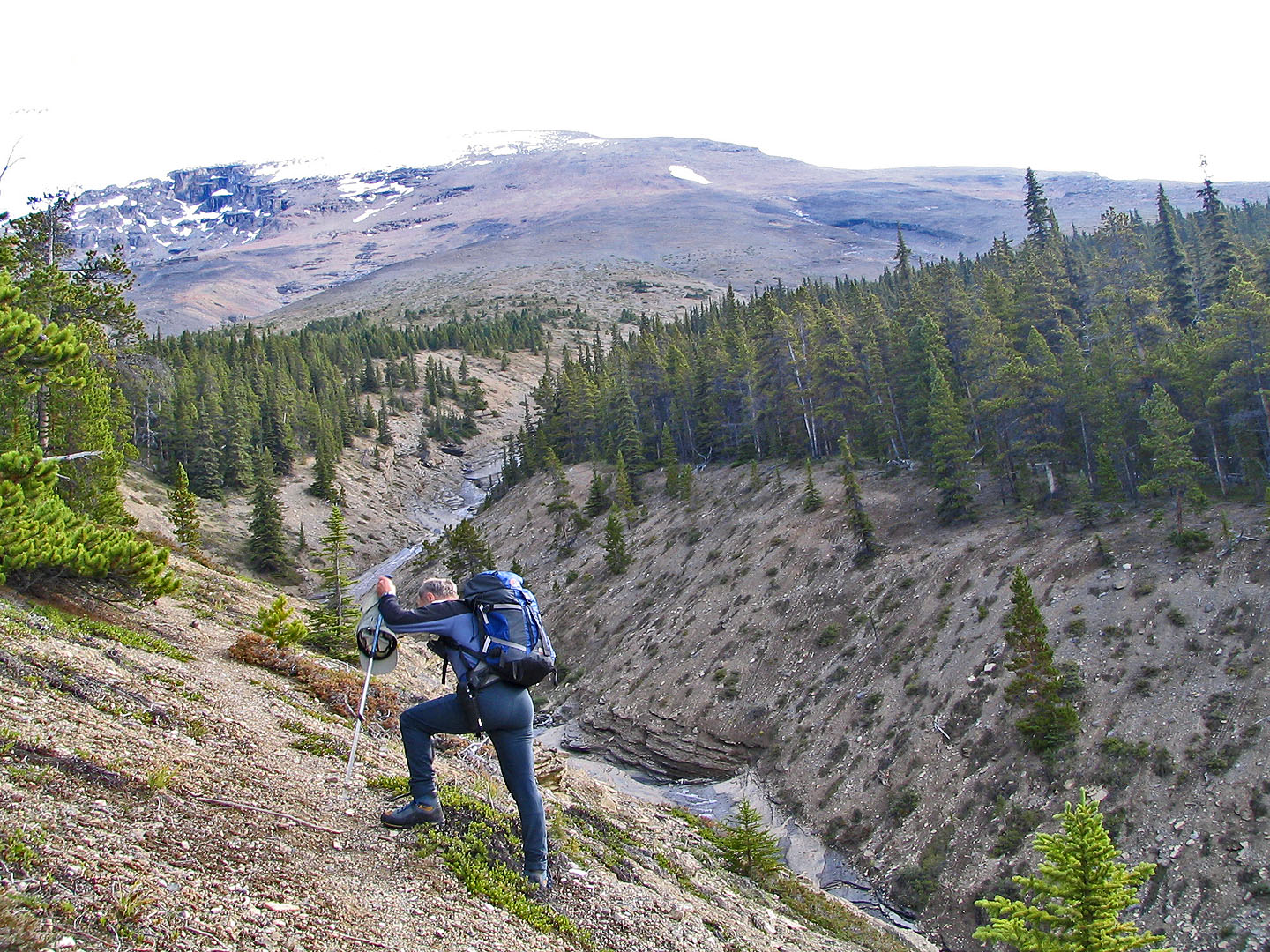
Following the directions in Scrambles, we found the trail without difficulty. It follows the left side of a drainage that was surprisingly scenic with its waterfalls and cascades. It certainly appeared more inviting than the endless scree above it. Once above the treeline, the objective is clear: slog up the slope and ridge to the peak. For the most part, however, the scree was firm. Ahead of us, we noticed a group of three making their way to the summit.
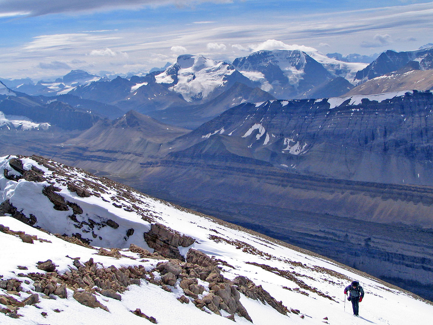
In time, we gained the ridge. From below, the ridge appeared to level off, but we were deceived: the ridgeline was as steep as the slope. We finished off the last section before the summit in soft snow. It was steep but had the snow been crusty, it might have called for ice axes. We hiked easily to the summit.
We were pleasantly surprised to find that the group ahead had put up flags on the summit cairn: they climbed d Sunwapta as an Alberta Centennial Peak – Sunwapta was chosen as one the 100 peaks in 2005 climbed to celebrate the 100 years of Alberta confederation. We exchanged cameras to do group shots of each other and chatted for a while. They told us that they had been turned back twice before on this mountain. On one occasion they didn't even get out of their car because the weather was so bad!
The descent was unremarkable except for being fast. We were back at the parking lot by mid-afternoon.
Sunwapta Peak seen from the highway
We gained a lot of elevation on the steep trail
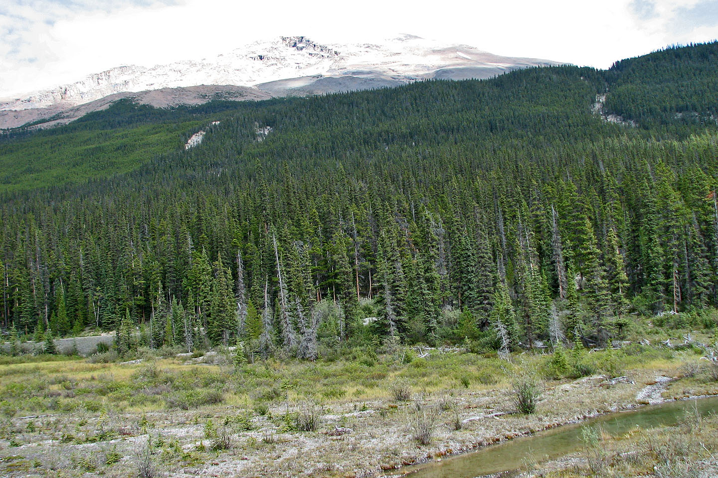
Near the treeline, the peak comes into view
The treeline is still far away
Looking back at the drainage
We headed straight up to the ridge (mouse over to look back)
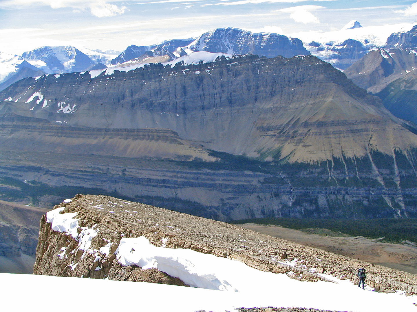
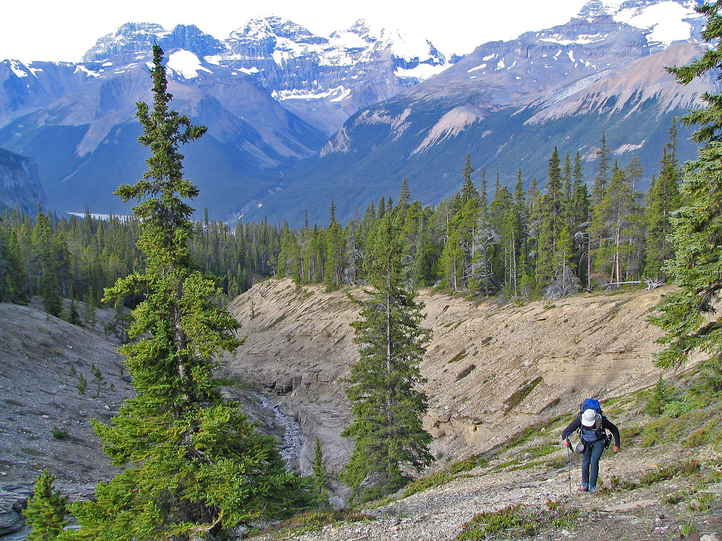
Tangle Ridge fills the background
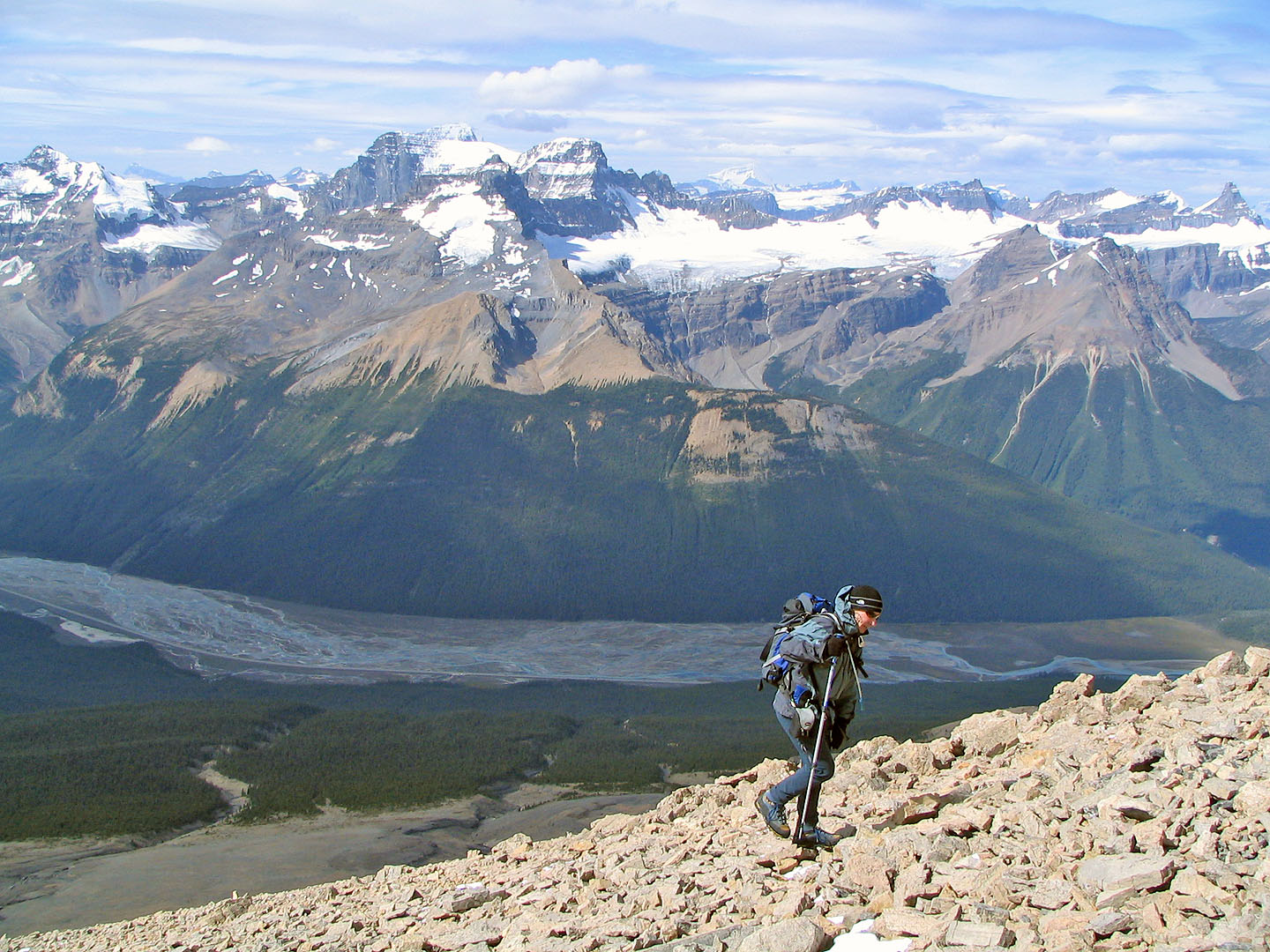
Sunwapta River lies far below
The ridge was unexpectedly steep
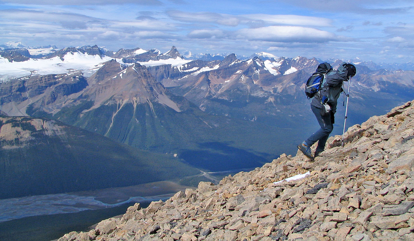
Slogging up more scree
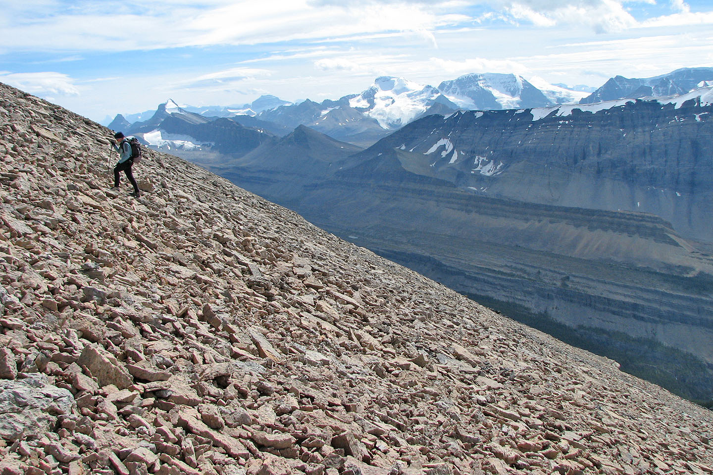
Endless scree to hike up
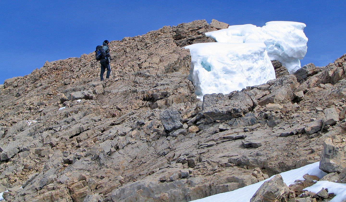
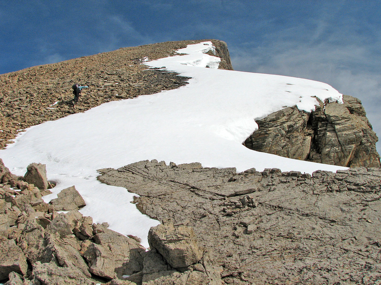
We passed large cornices

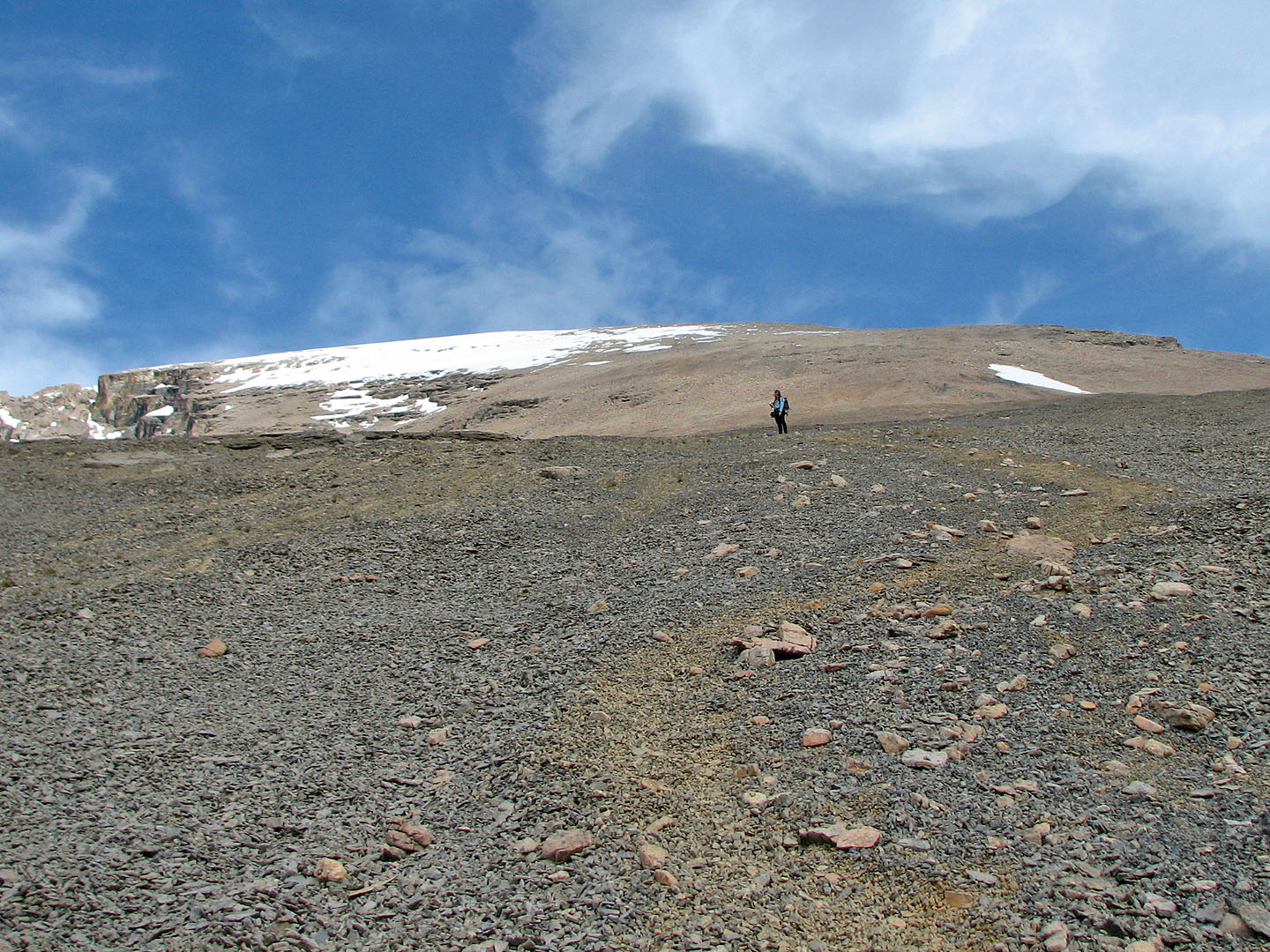
Summit is just beyond the rise
Hiking up the last few metres to the summit. Mount Athabasca in the centre.
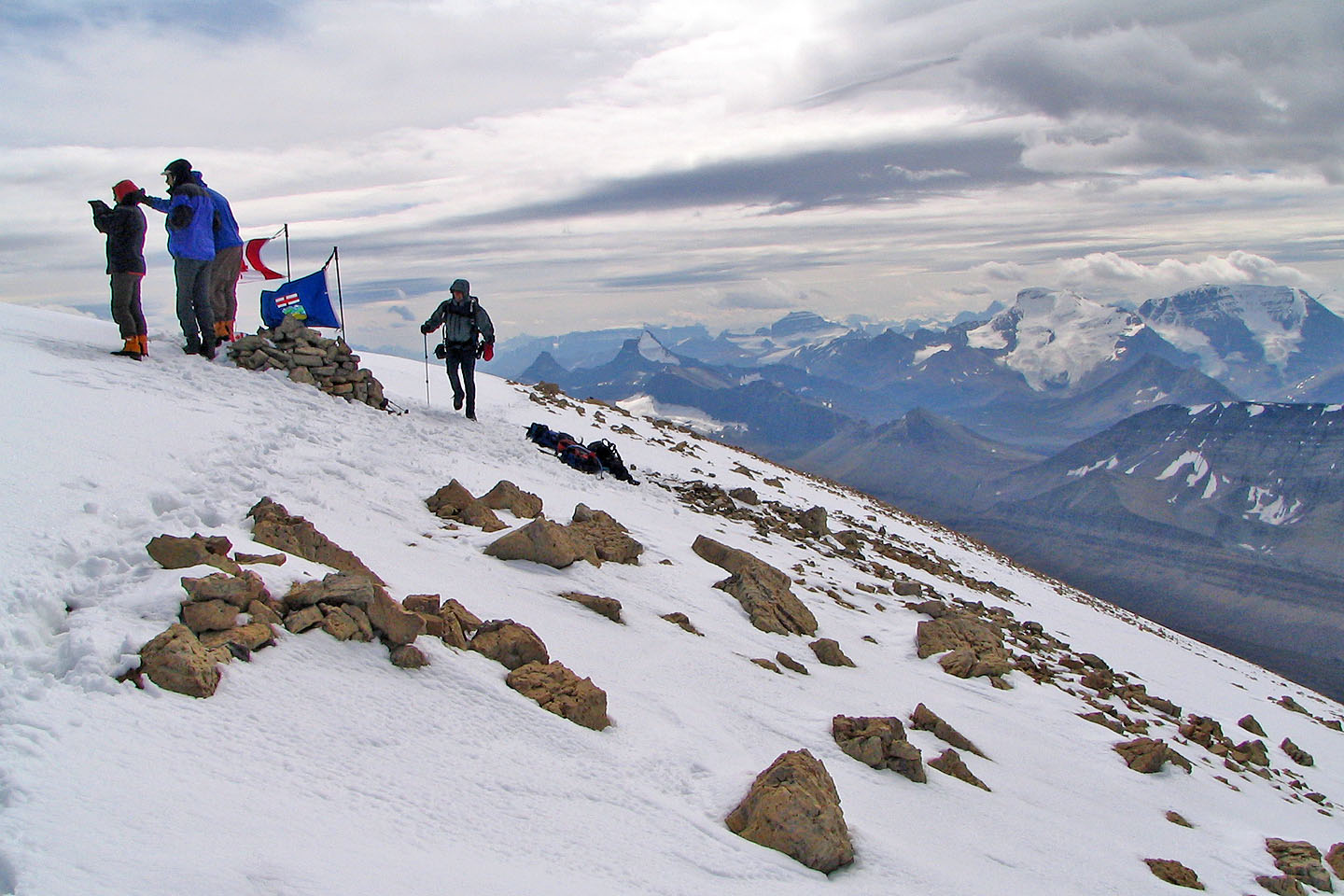
Centennial ascent group set up flags at the cairn
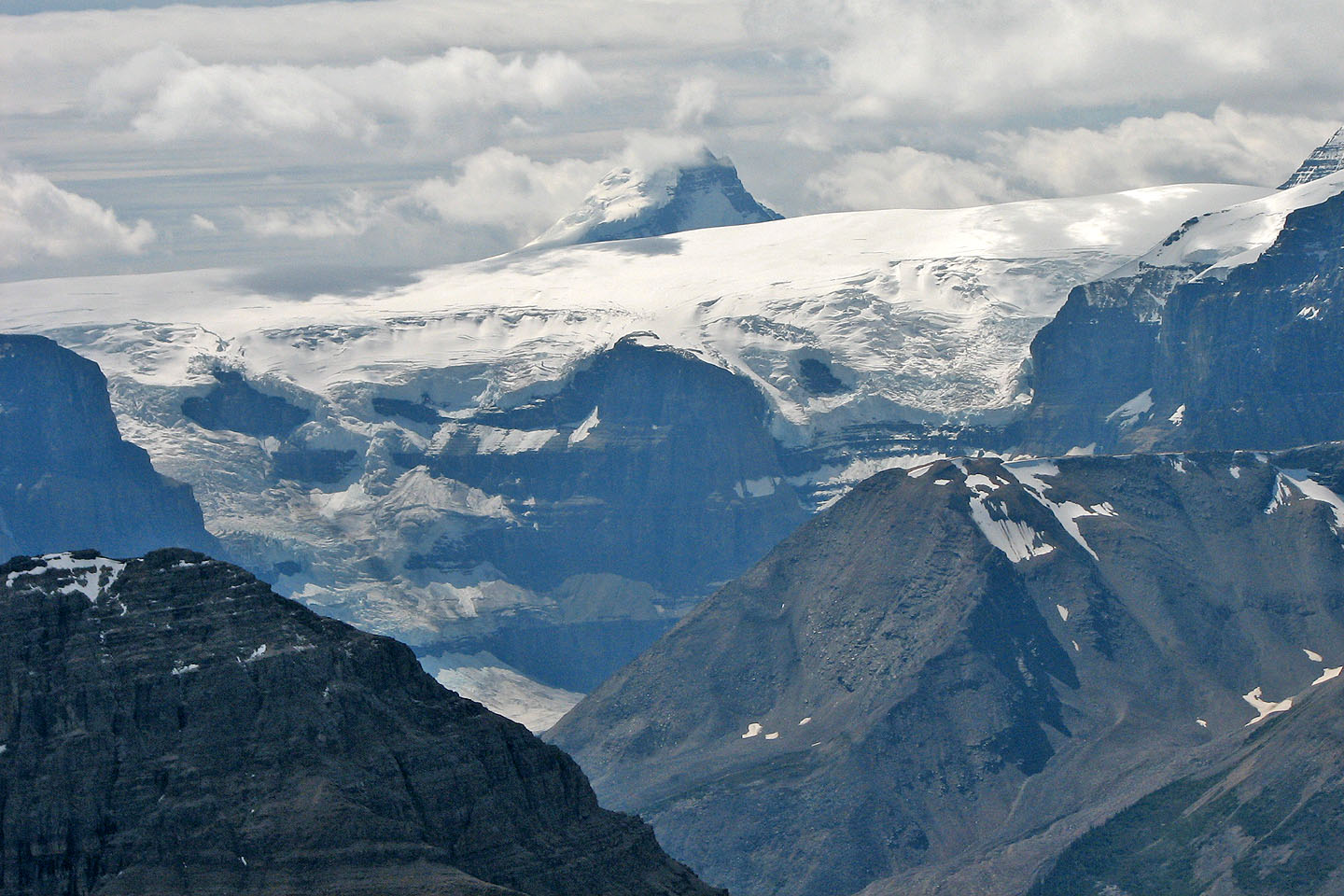
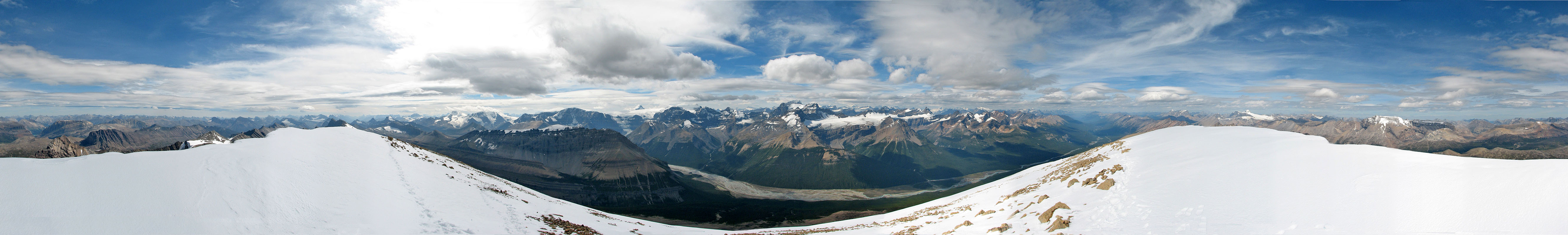
Mount Alberta appears above a glacier
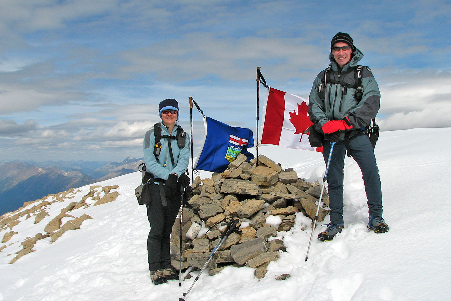
Happy to be on the summit!
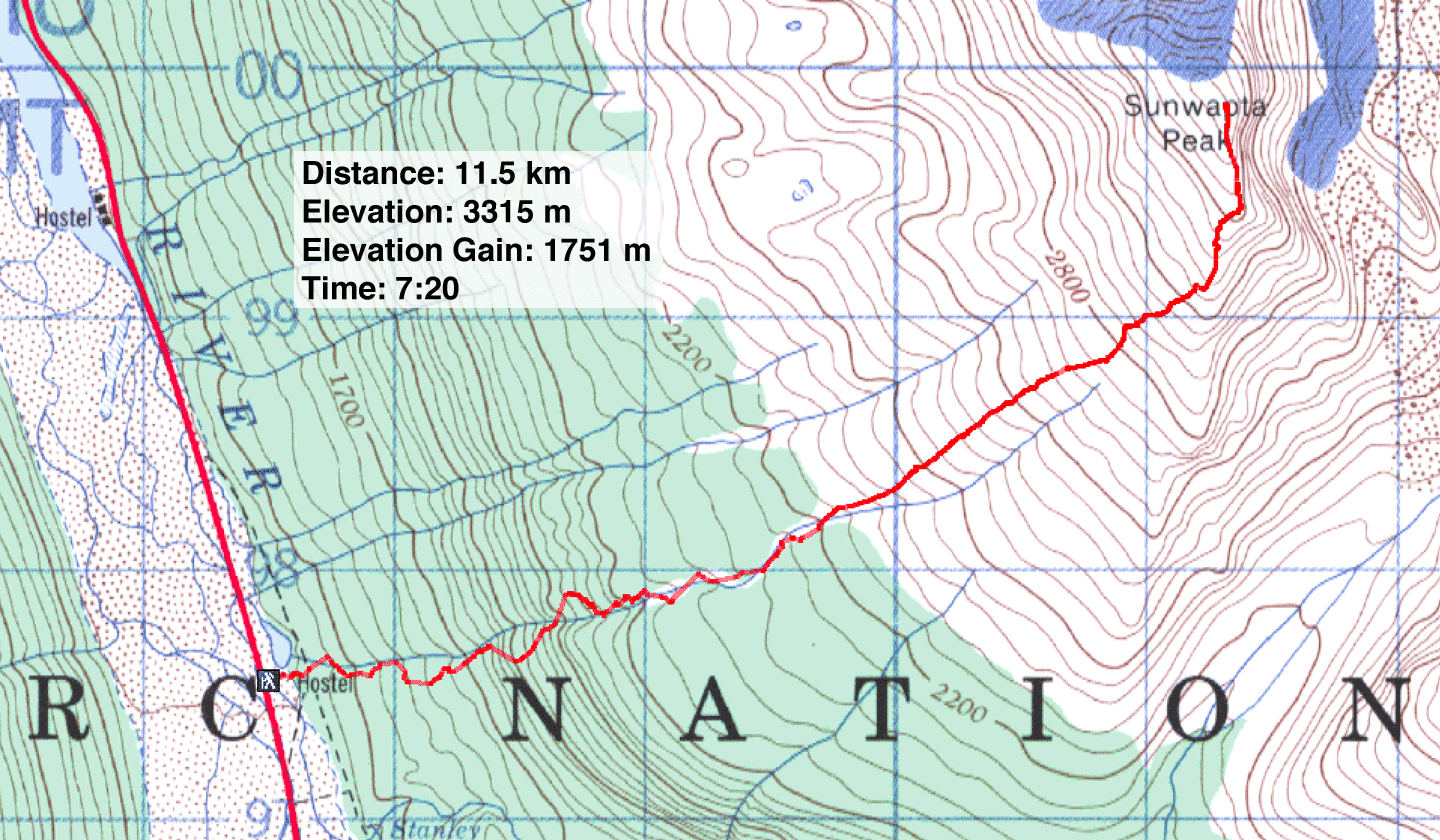
83 C/6 Sunwapta