bobspirko.ca | Home | Canada Trips | US Trips | Hiking | Snowshoeing | MAP | About
Mount Wilcox
Jasper National Park, Alberta
July 27, 2003
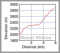
Distance: 11.1 km (6.9 mi)
Cumulative Elevation Gain: 920 m (3018 ft)
The most direct approach for Mount Wilcox begins behind the Icefield Info Centre, but since Dinah and I camped at Wilcox campground, that's where we started. As we hiked up the trail to Wilcox Pass, we looked for a place to start our ascent. The broad slope offers various possibilities. On our ascent, we went up the slope, but on our way back, we followed the ridge almost to the end which offered a gentler descent and prolonged views.
After we gained the ridge, we stuck close to the crest. Where we could, we followed trails, but we also scrambled up rock. Nothing difficult, and it was fun to tackle obstacles as we encountered them. In summary, Mount Wilcox is a fine scramble with plenty of glacier scenery.
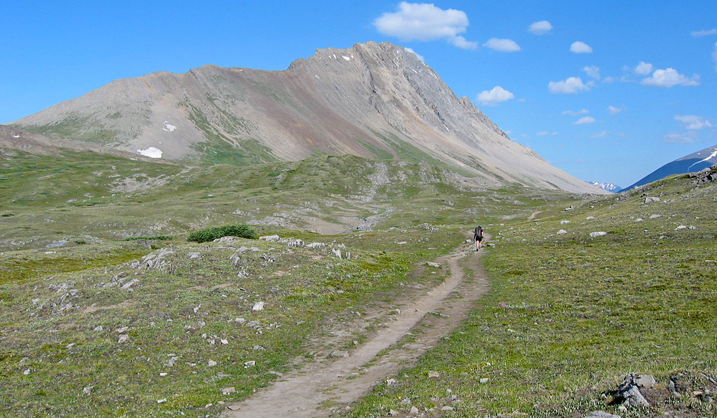
Mount Wilcox seen from Nigel Pass
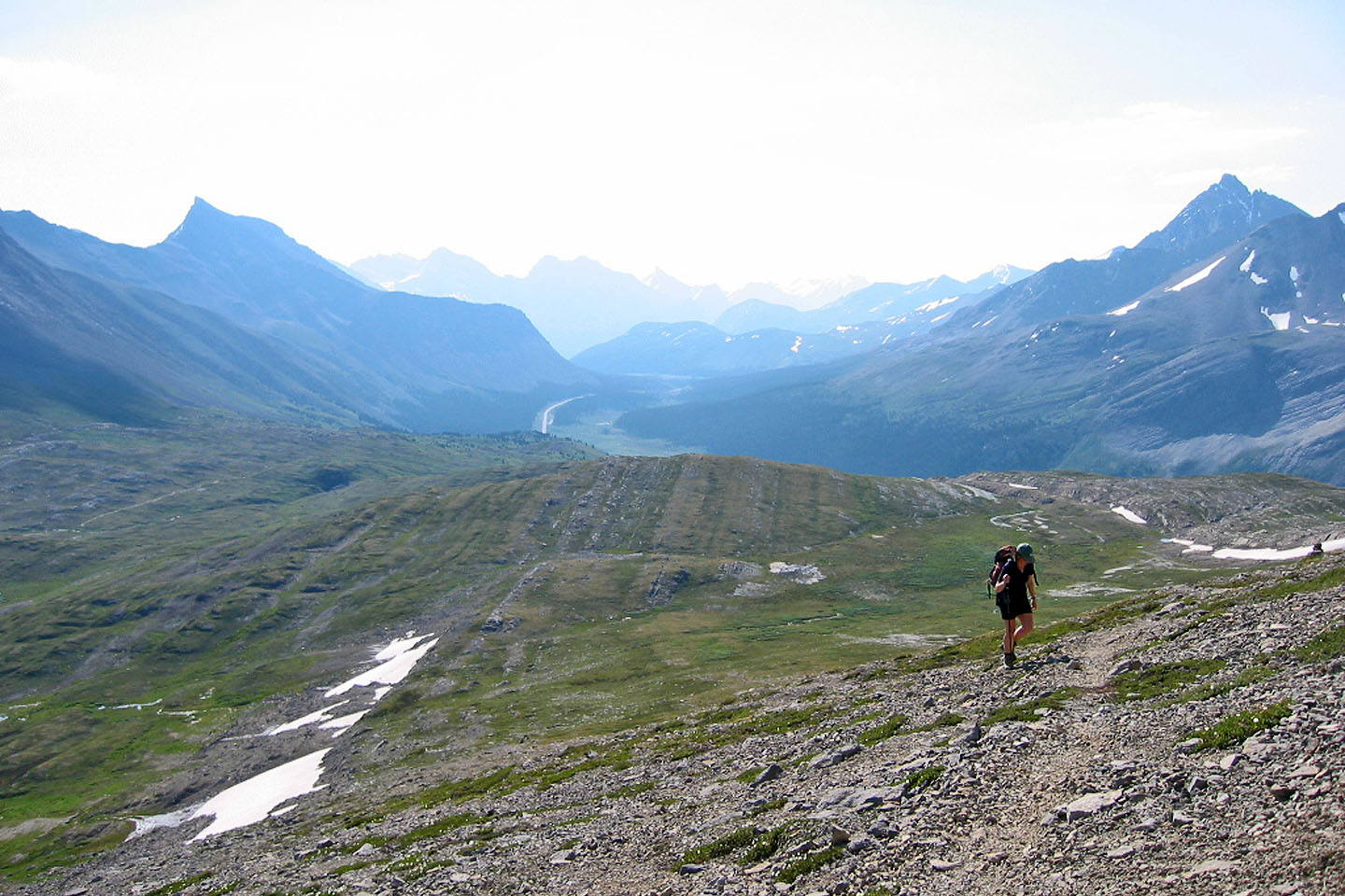
Looking back across the meadow
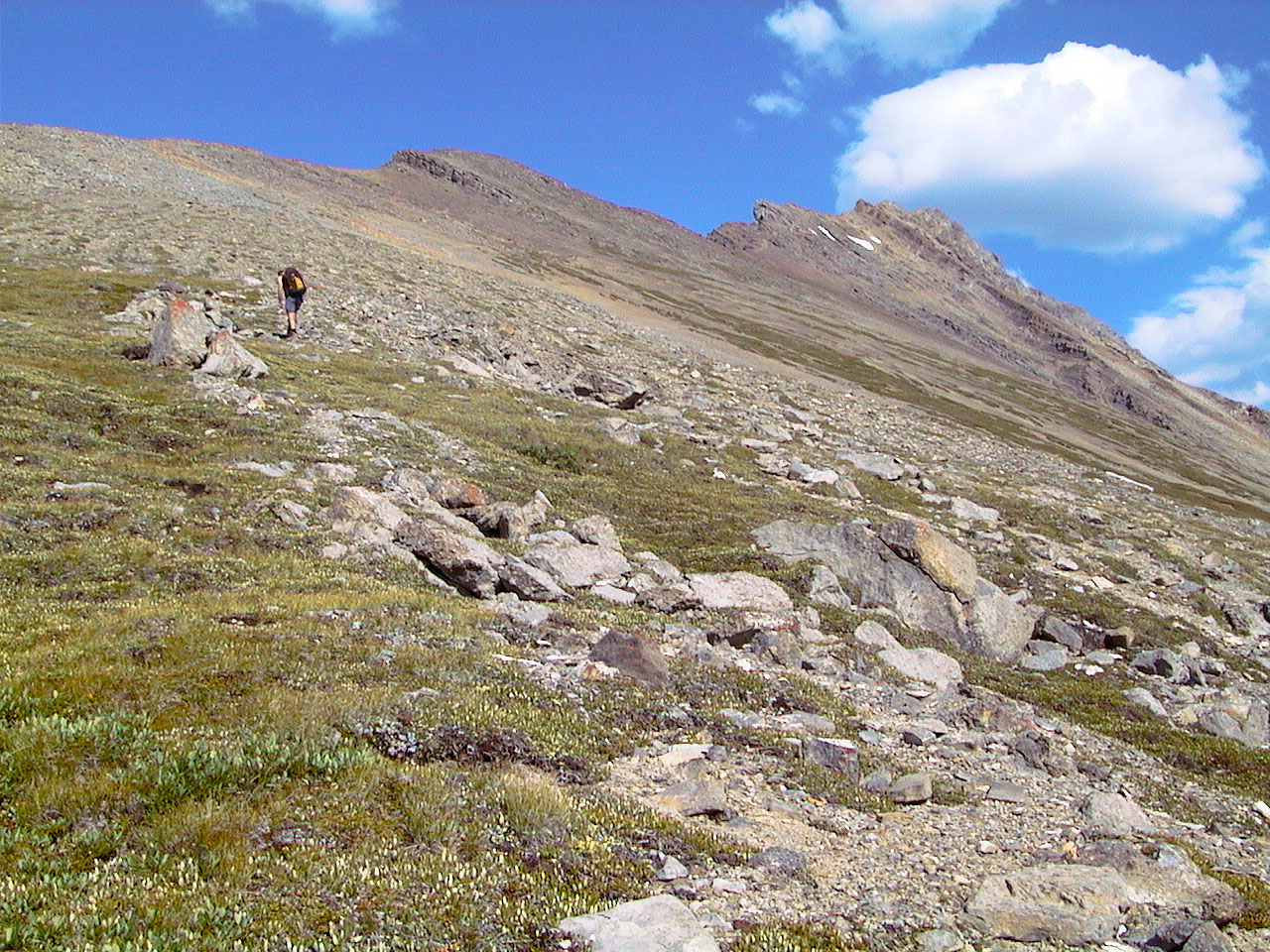
Hiking up the lower slopes
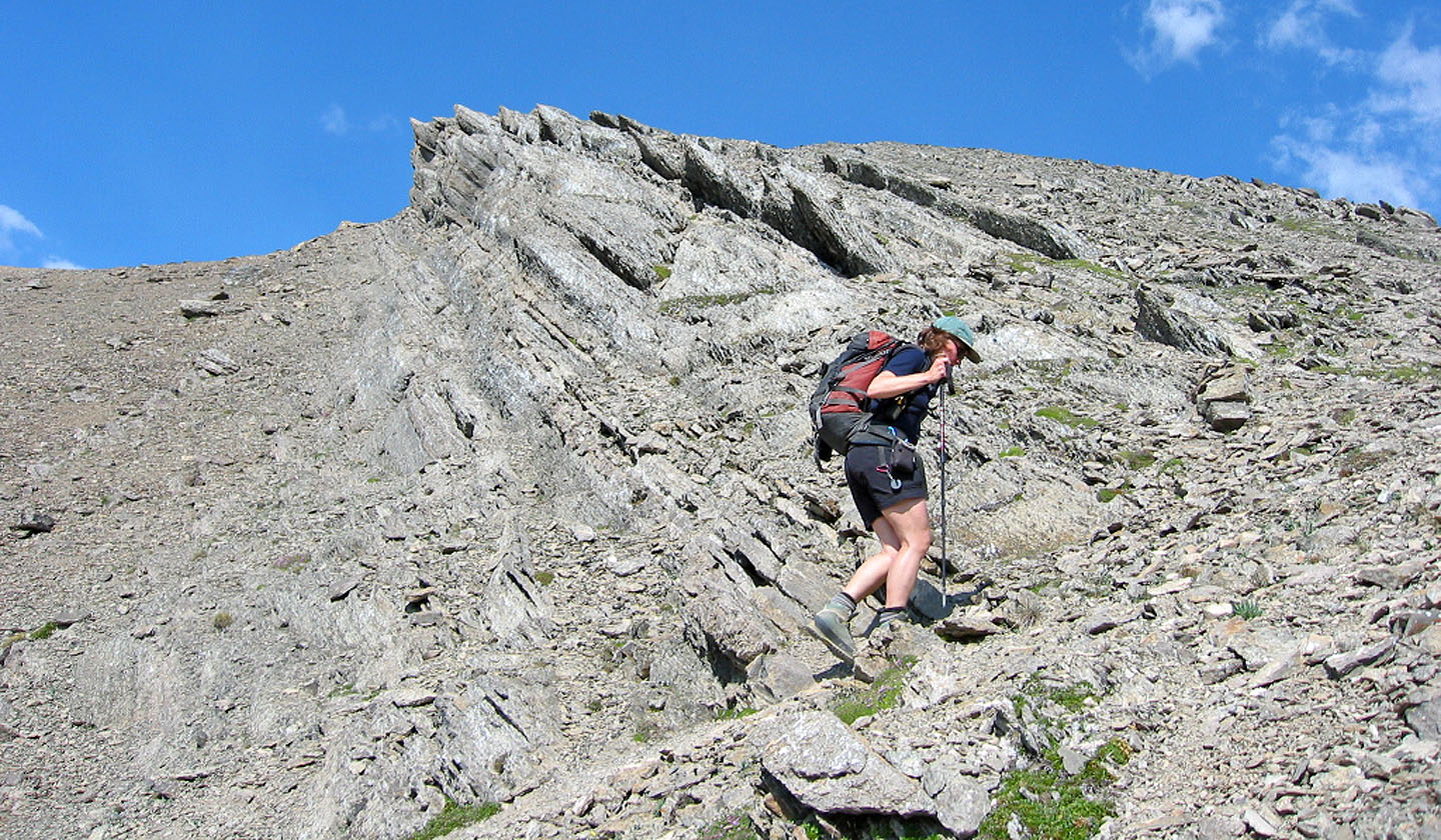
Working our way up to the ridge crest
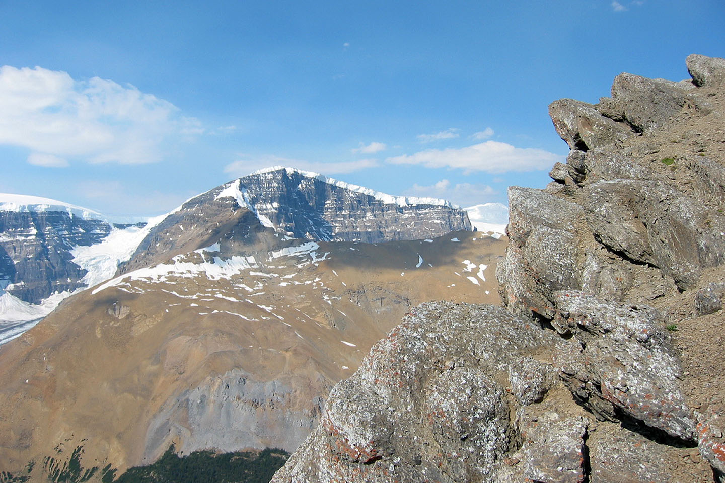
Unnamed mountain to the west
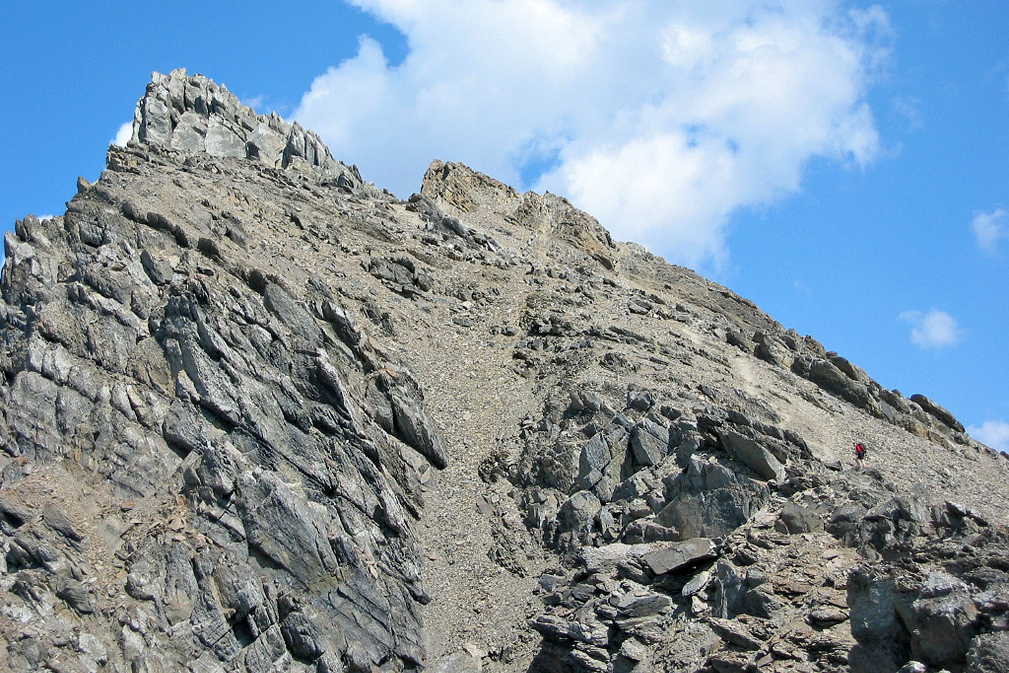
Dinah (right) heads to the ridge
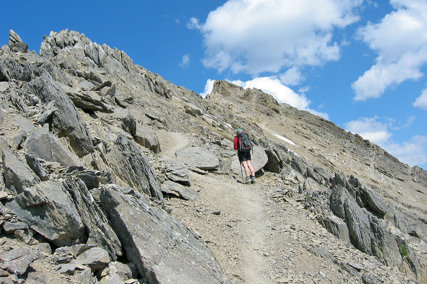
Following a trail
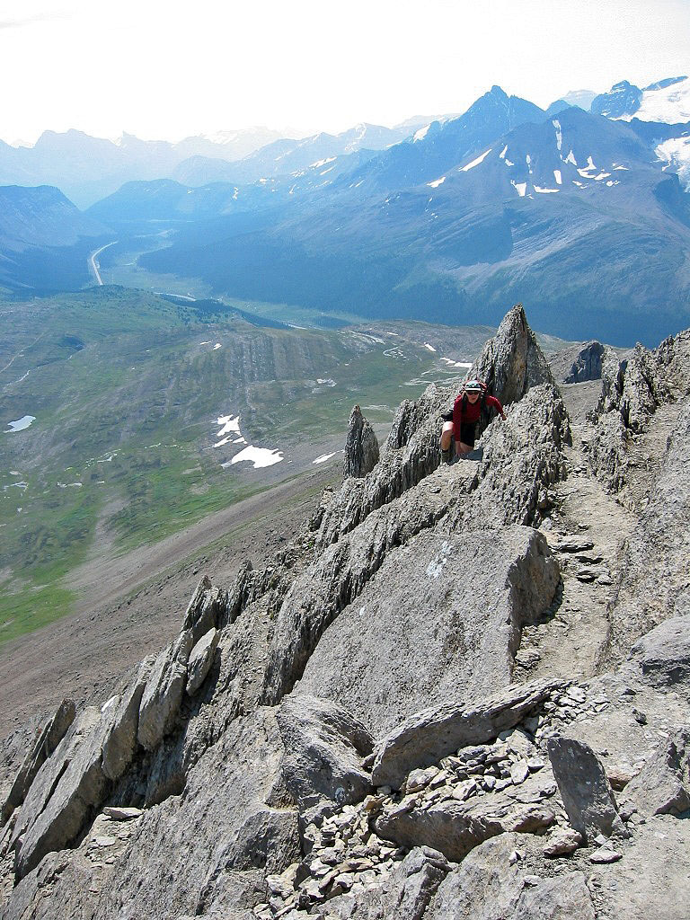
Great scrambling along much of the ridge
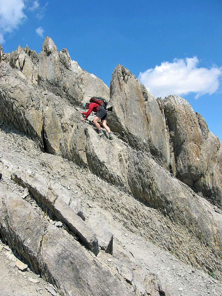
Climbing just below the ridge crest
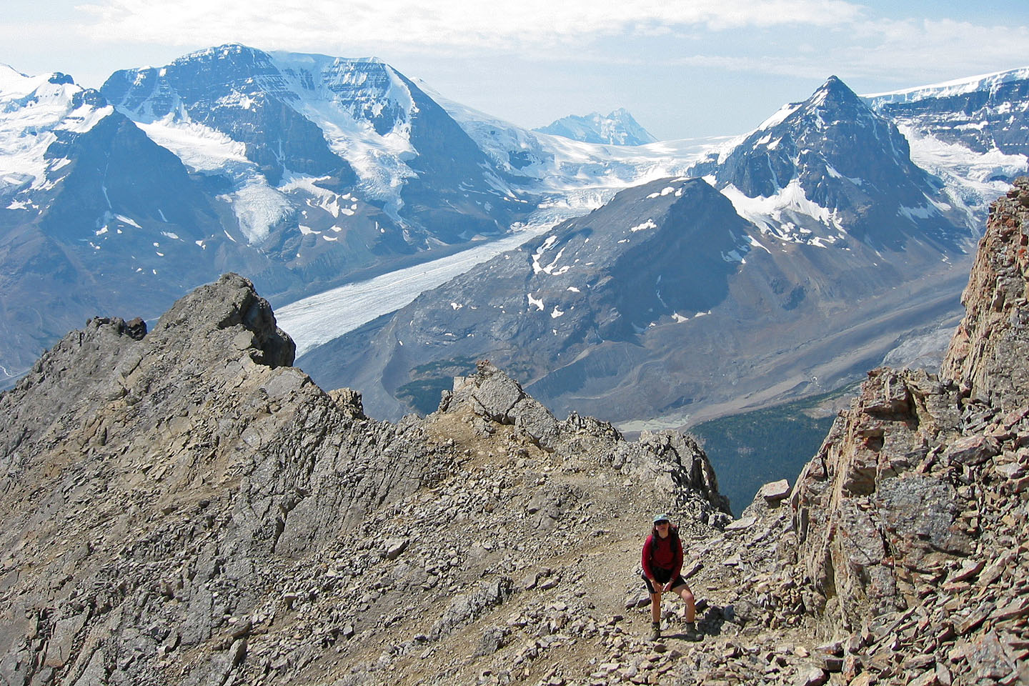
Much of the route was well-trodden
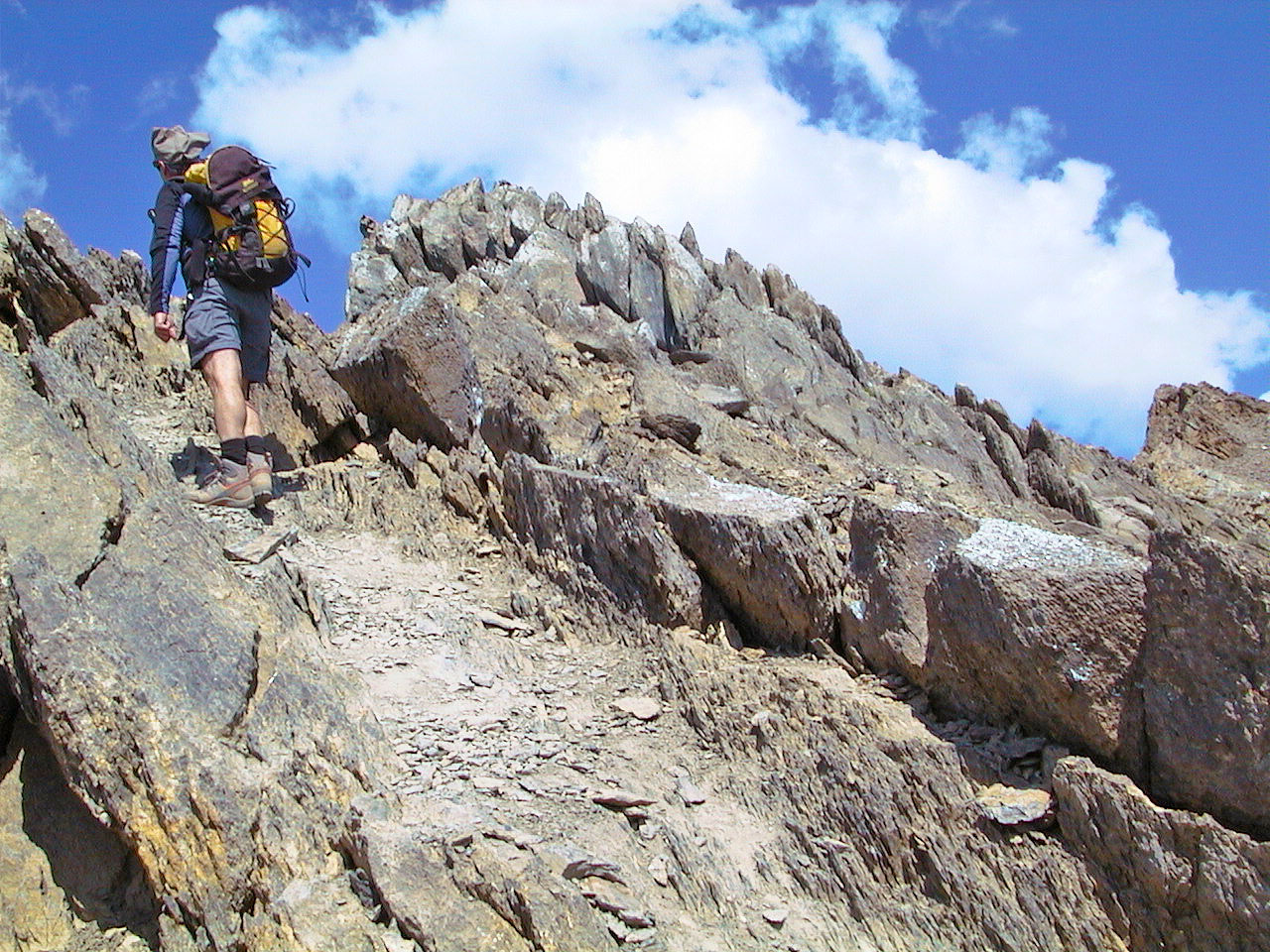
Interesting rock formations
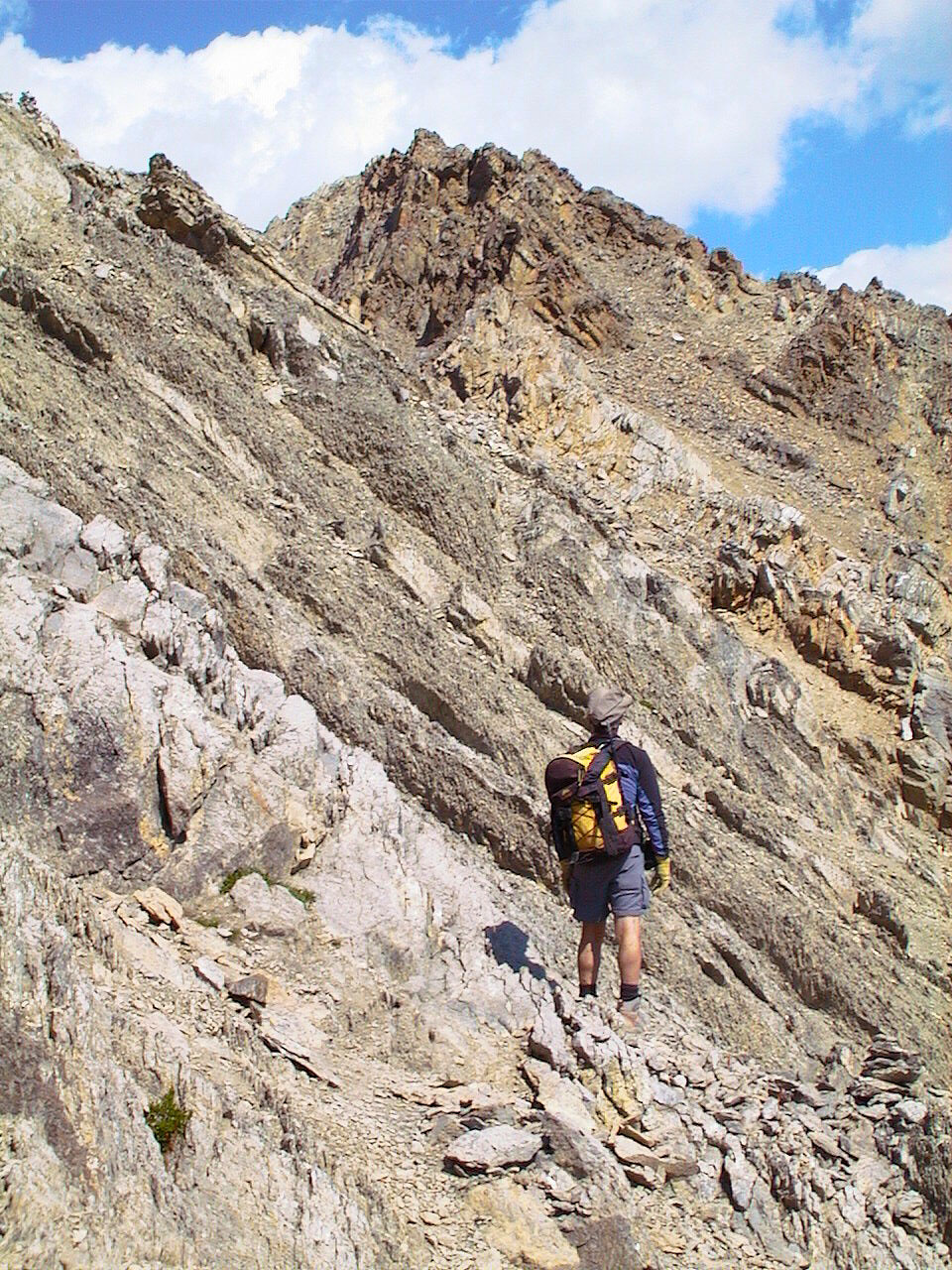
Almost at the summit
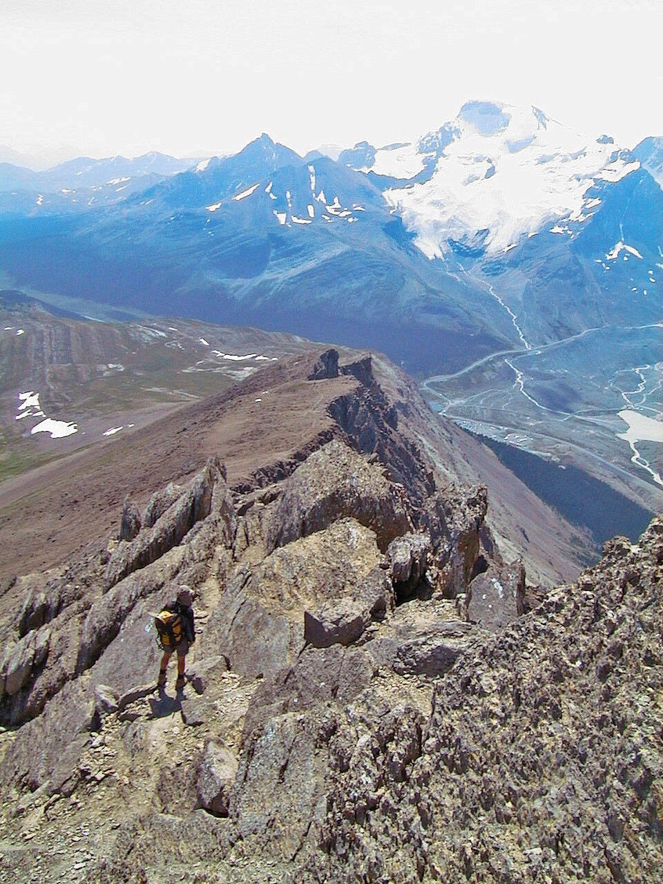
Heading back down
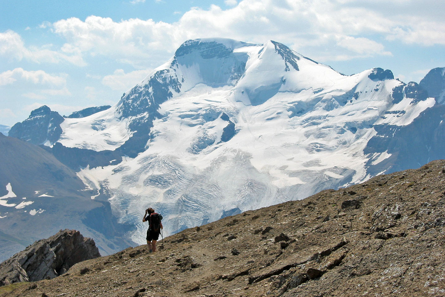
Mount Athabasca in the background
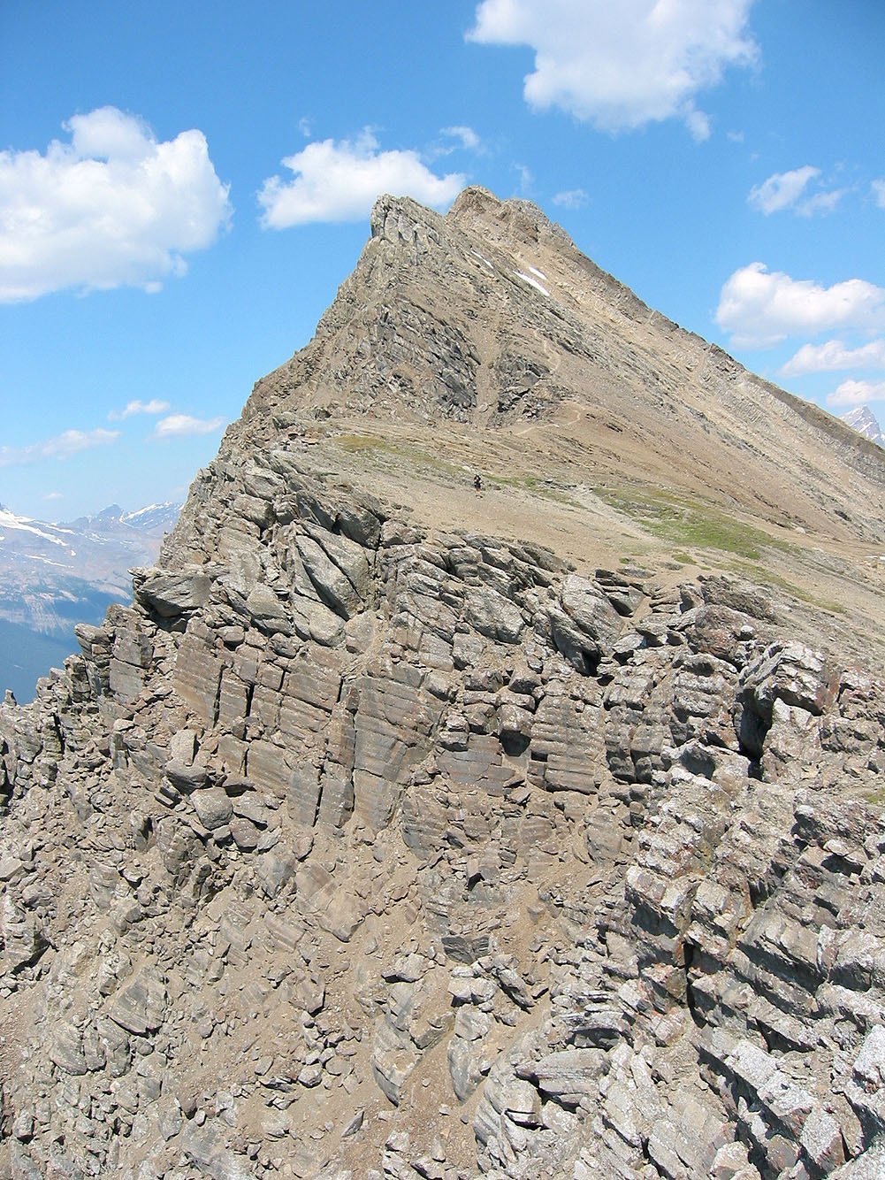
Looking back: Dinah is the dot in the centre
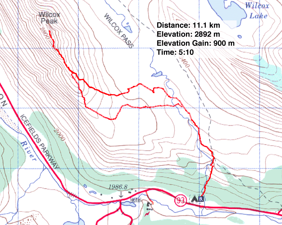
83 C/3 Columbia Icefields
