bobspirko.ca | Home | Canada Trips | US Trips | Hiking | Snowshoeing | MAP | About
Banff National Park, Alberta
August 17, 2003
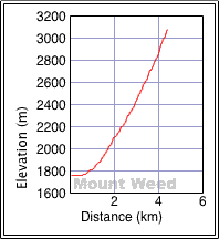
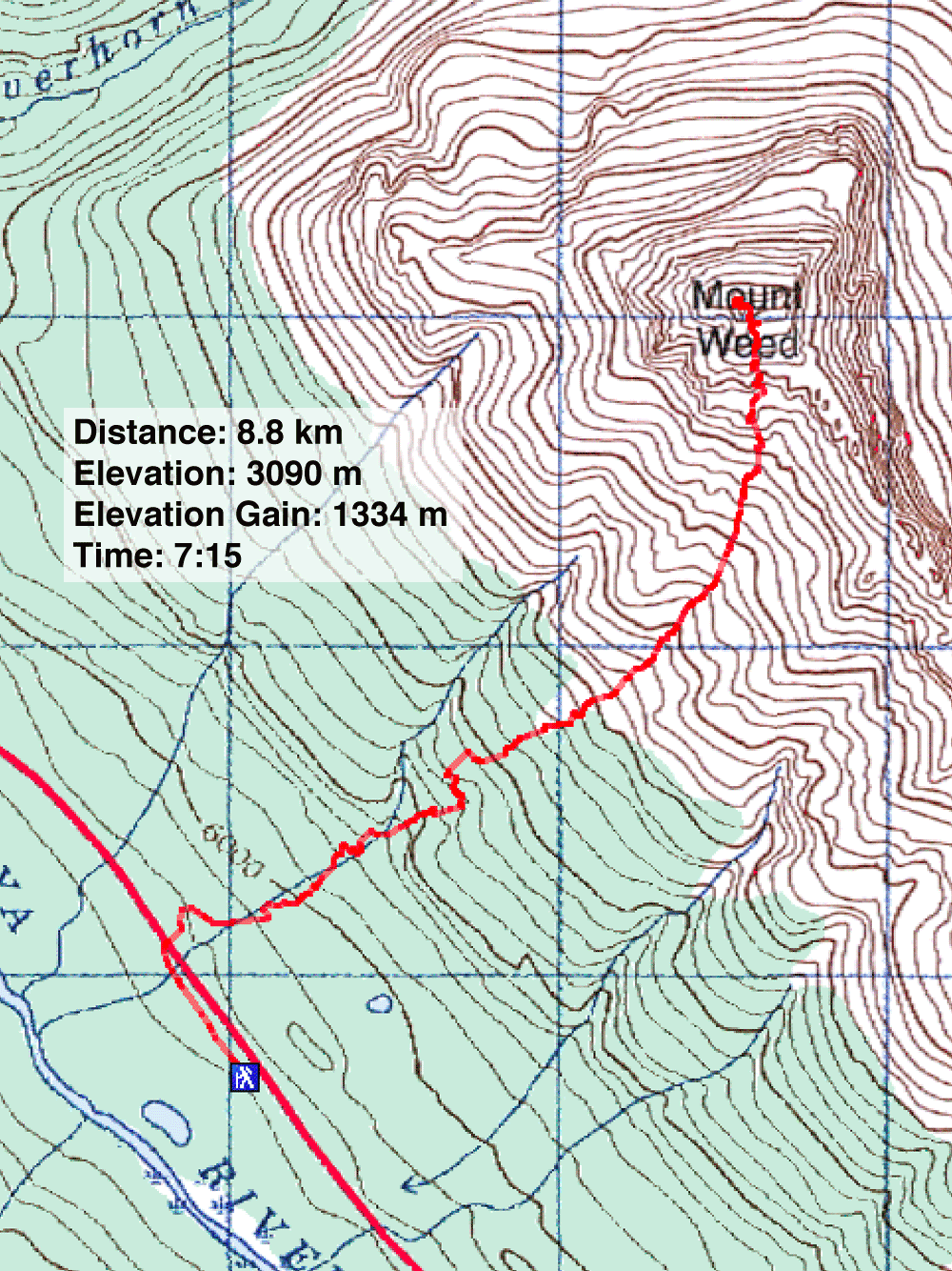
Distance: 8.8 km (5.5 mi)
Cumulative Elevation Gain: 1340 m (4396 ft)
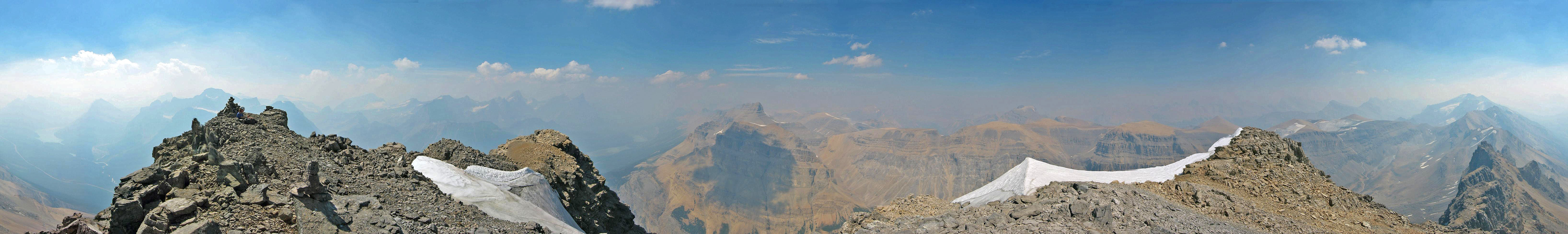
If you decide to climb Mount Weed, be prepared for a long plod up scree. The trip starts up a drainage which eventually turns into a gully so broad that it felt like Dinah and I weren't even moving! Once we got to the rocks, things become more interesting. As we climbed higher, the gully became steep and narrow. As the Scrambles book warns, rockfall is indeed a hazard. We started a rockfall – running like a waterfall – that lasted for a few minutes! When Dinah and I reached the summit, we could see little as smoke from a forest fire blunted the scenery.
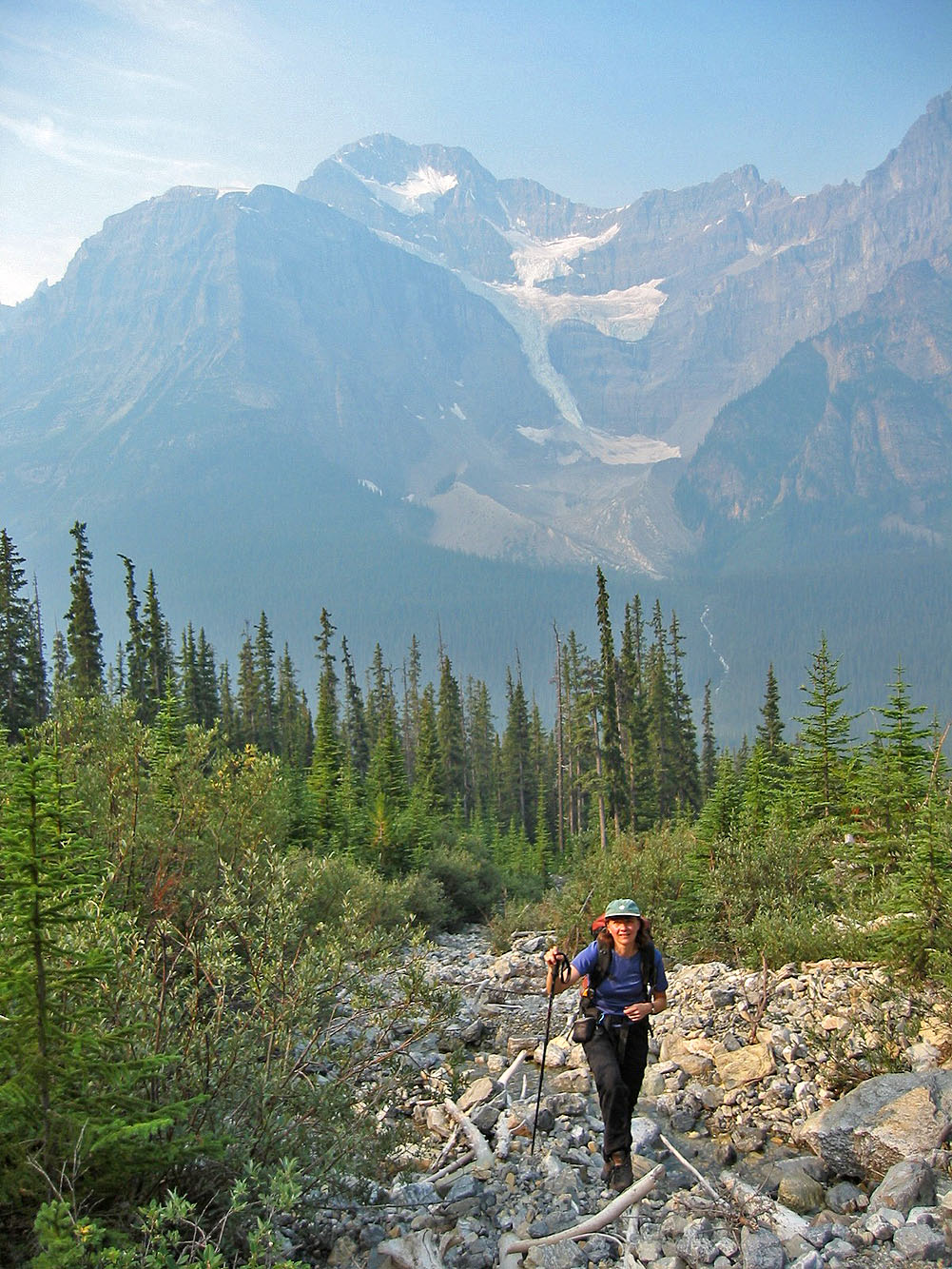
Hiking up the drainage
Still in the drainage
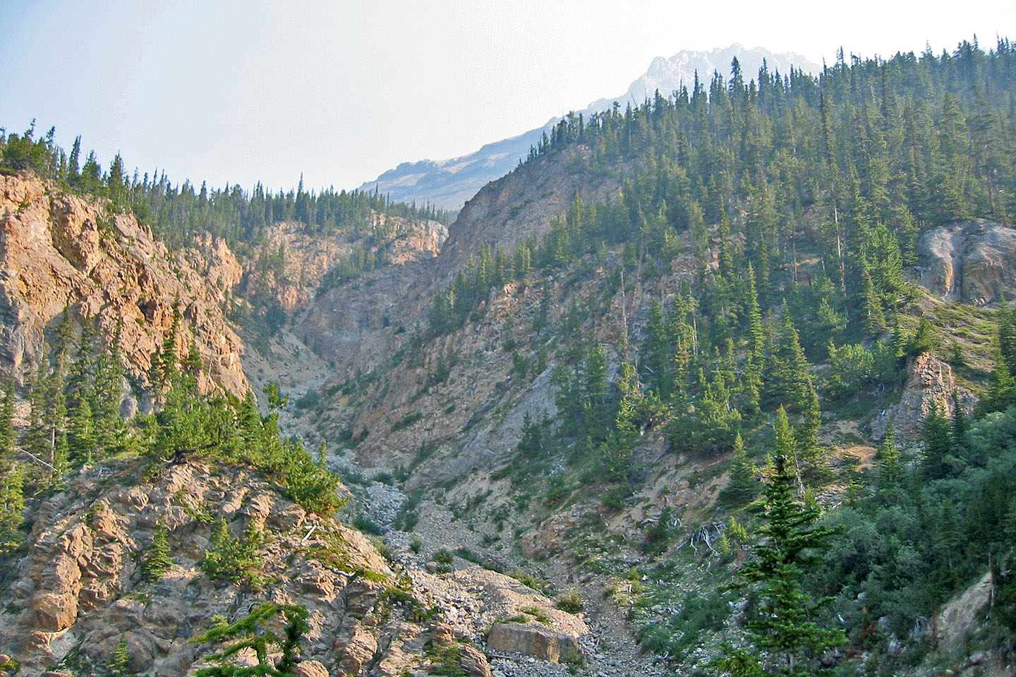
Picturesque side canyon on our left that we passed
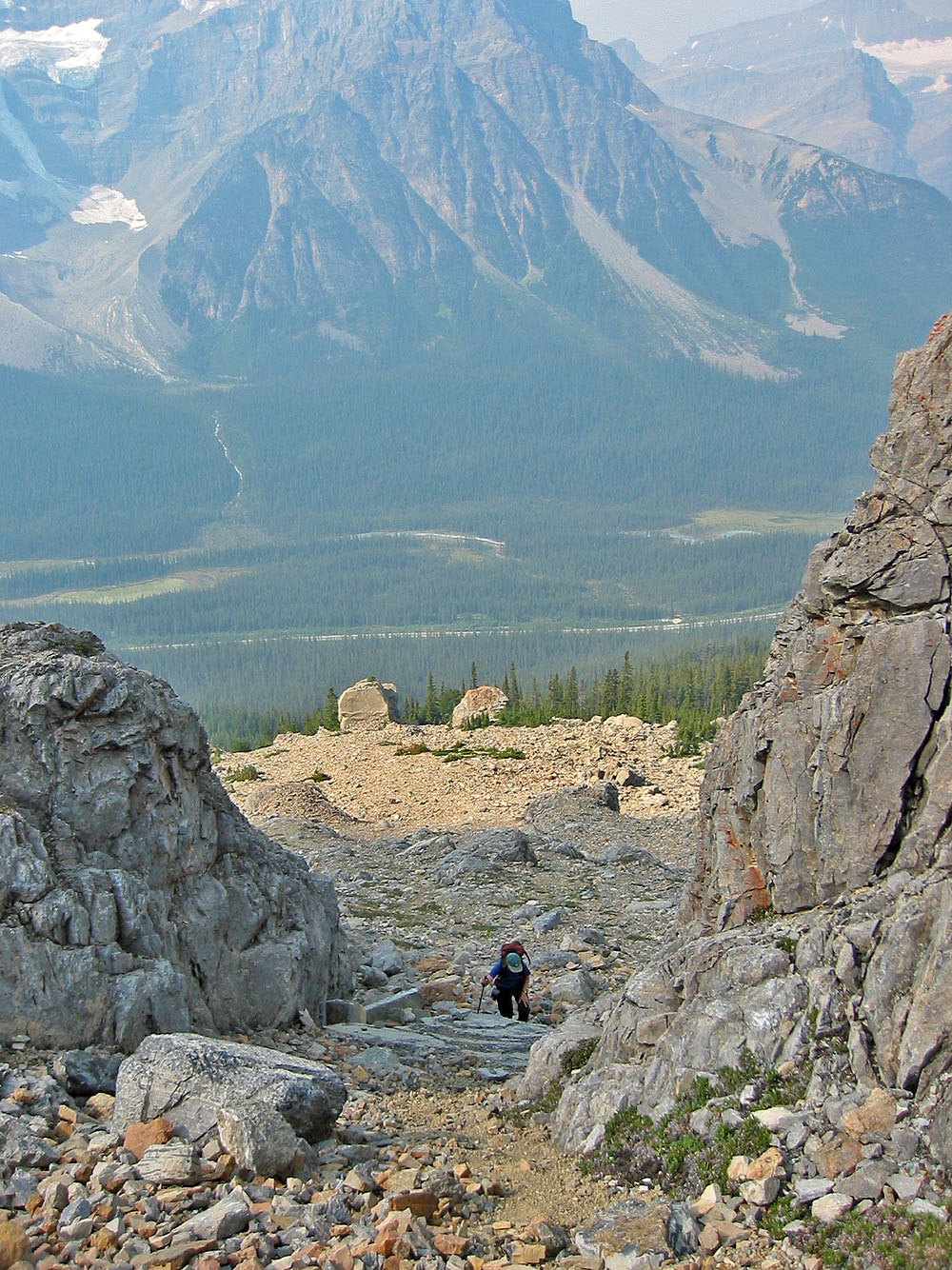
We reached an open area before the two boulders
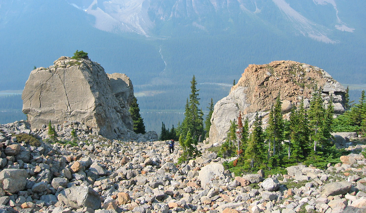
The twin boulders indicated we are on track
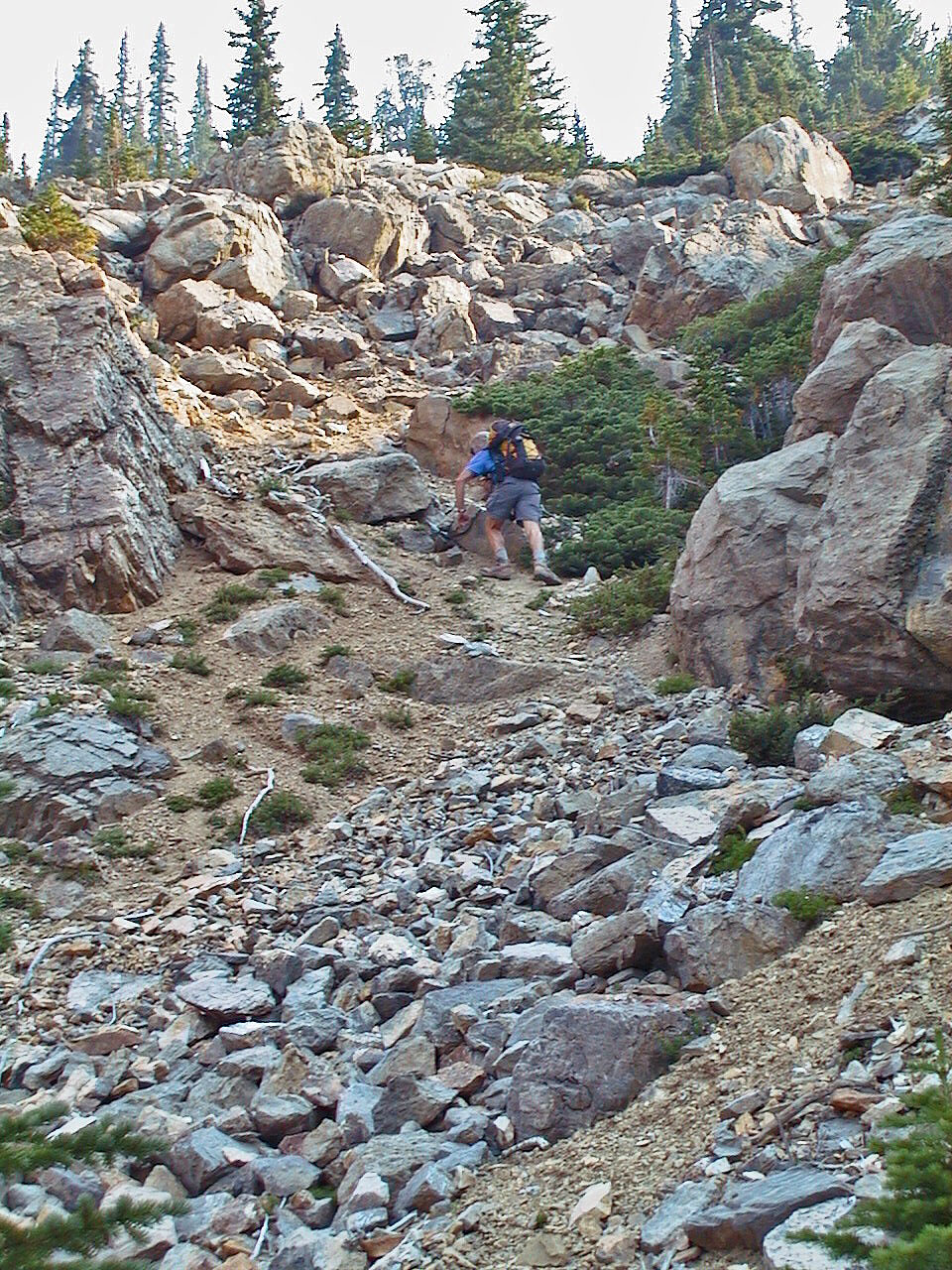
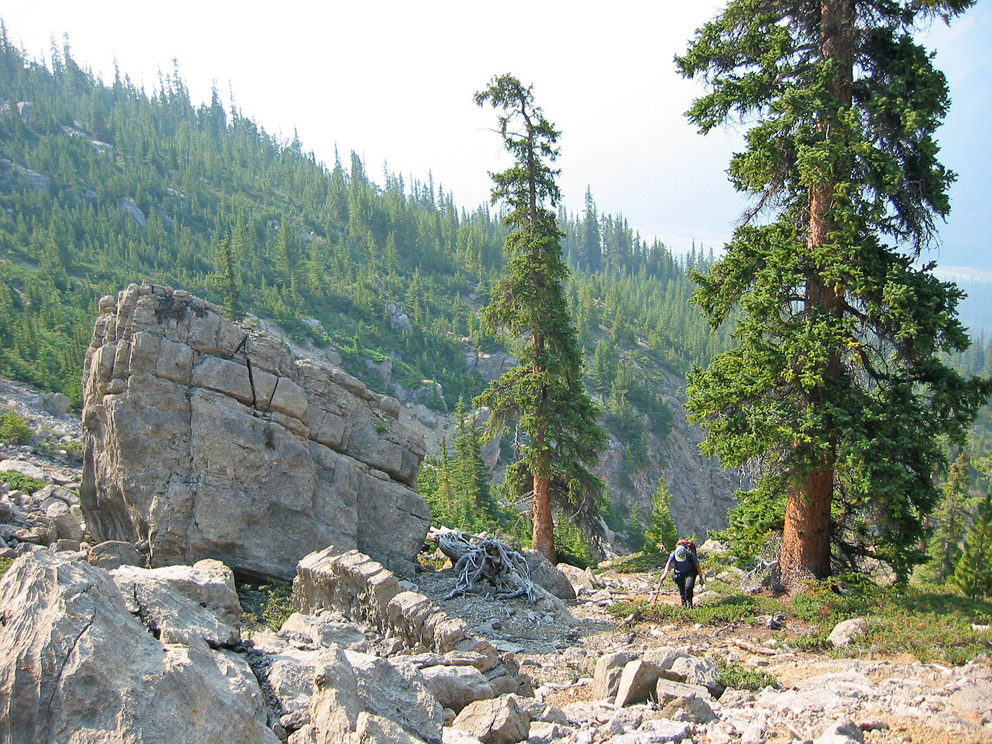
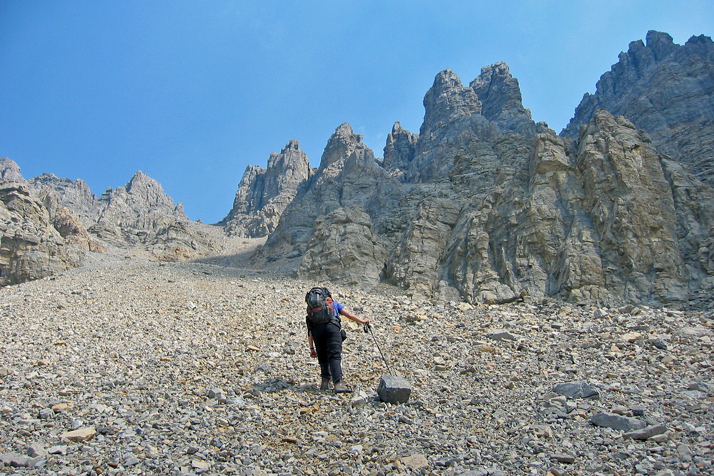
We began a long scree slog
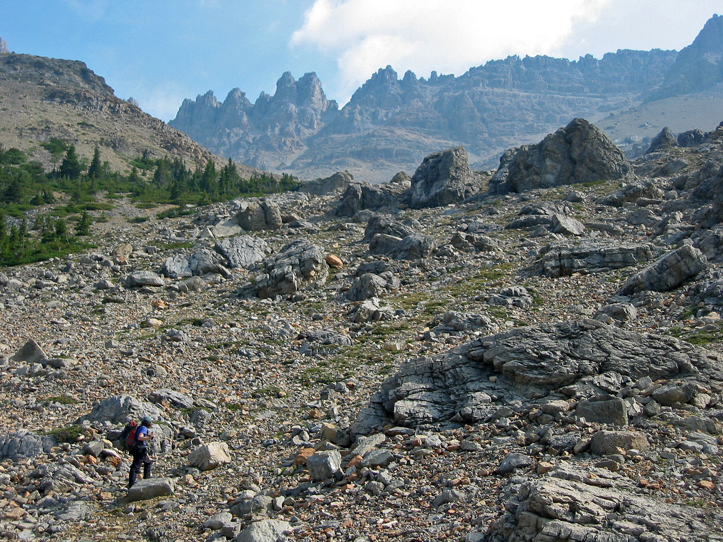
Hiking on the rubble in the drainage
Looking back at the boulders
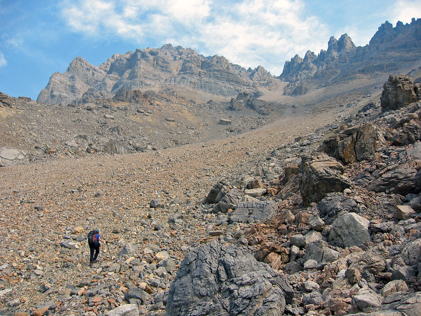
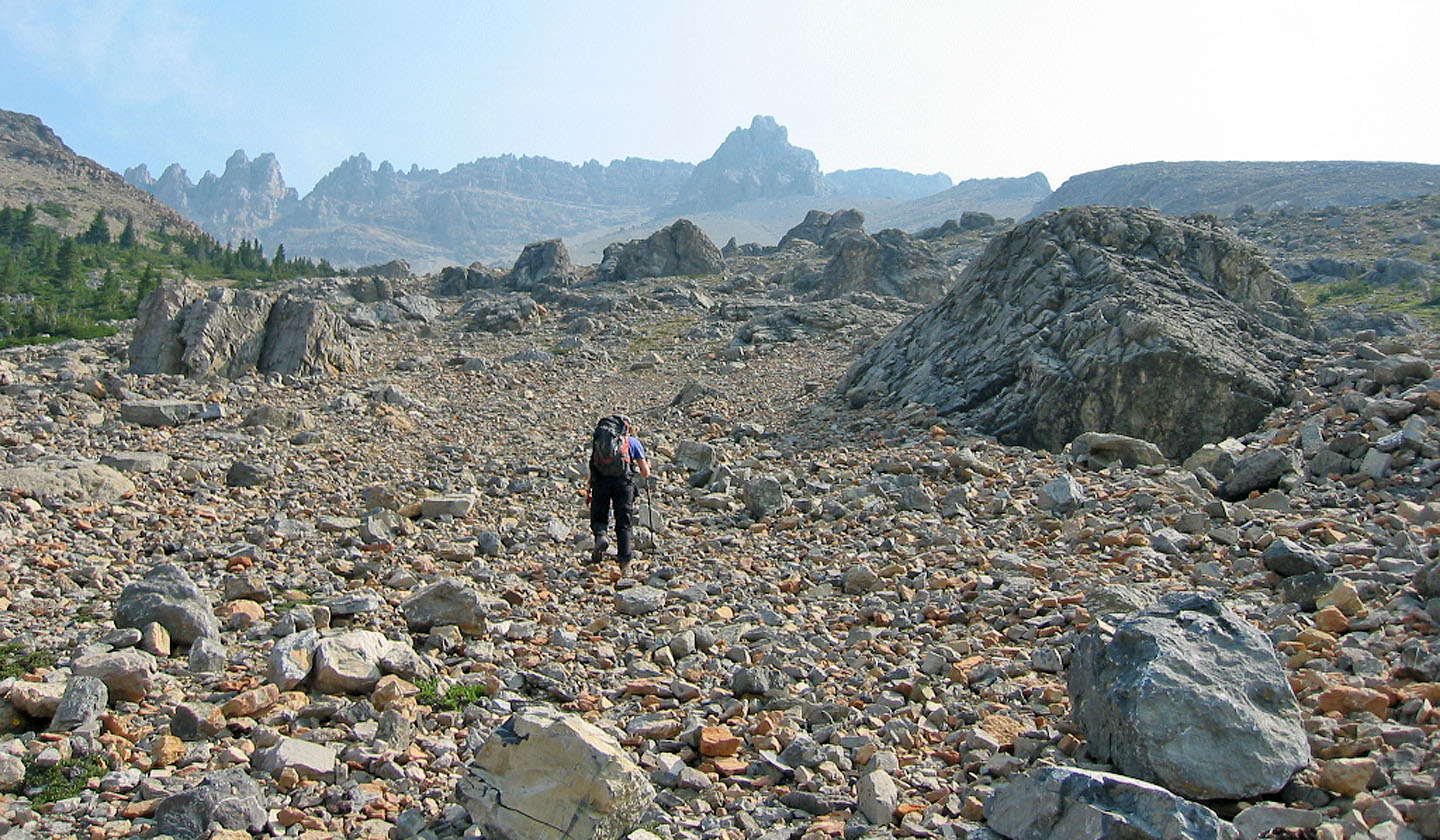
The ascent gully snakes up south of Mount Weed
We slowly drew closer to the gully
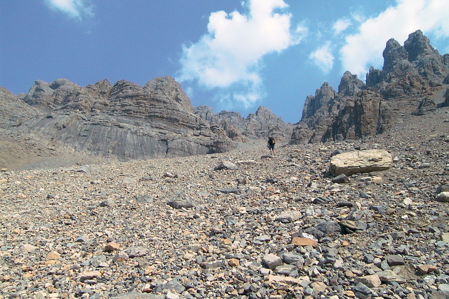
We finally reached the base of the rocks
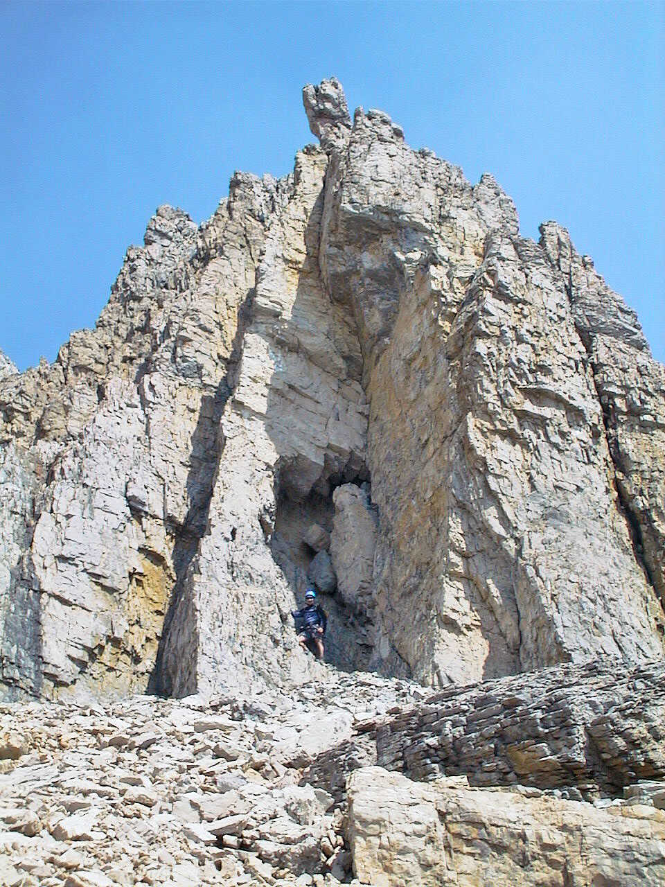
Interesting rock formation (mouse over for a different angle)
We welcomed the change of scenery from the long approach
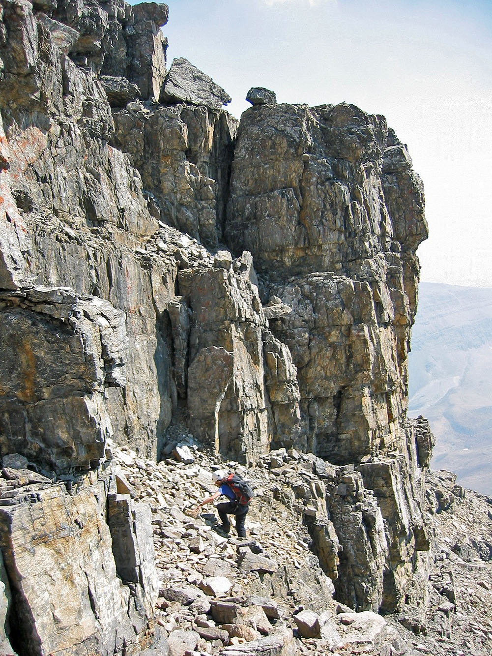
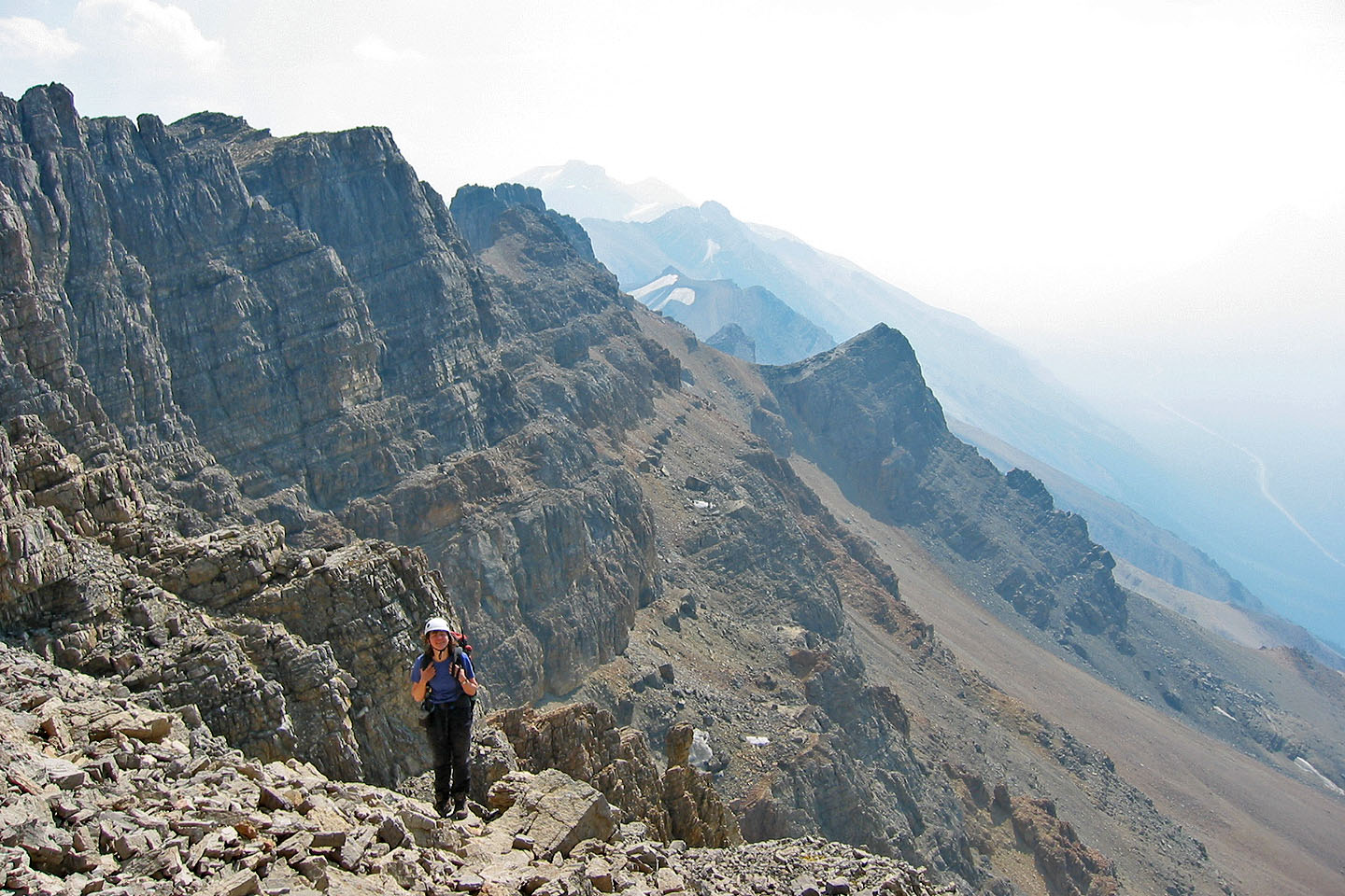
Ascending the gully below the summit
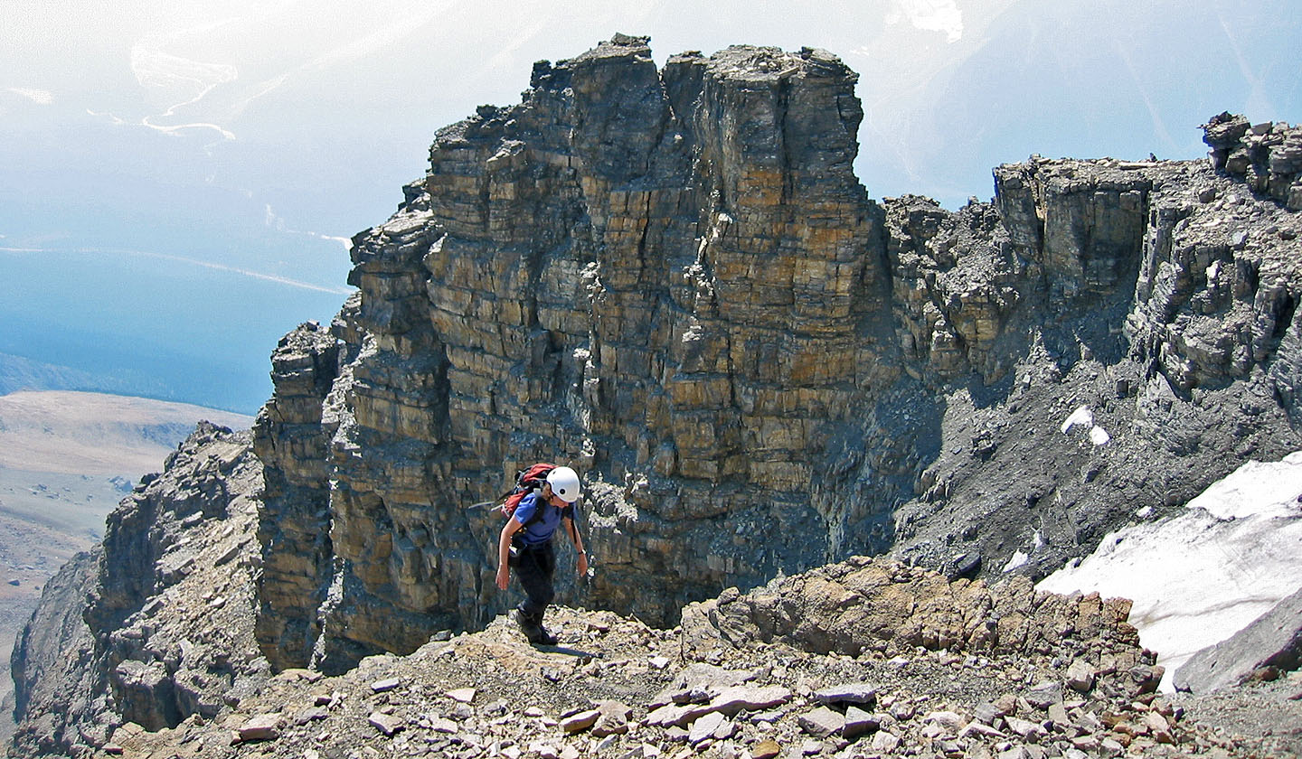
Coming out of the gully
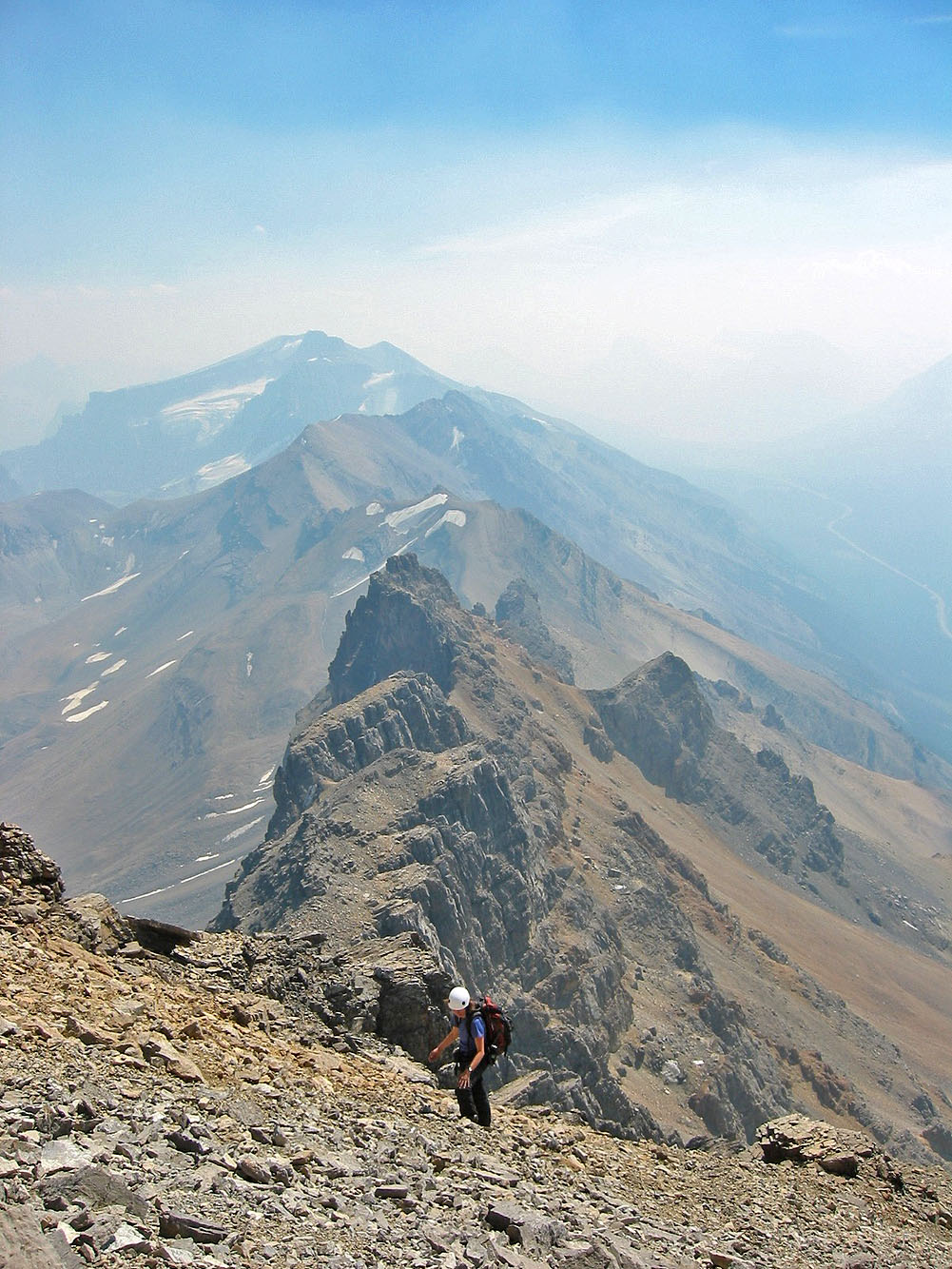
Then it's a short hike up scree to the summit
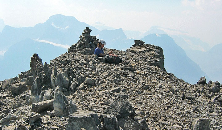
Dinah sits by the summit cairn
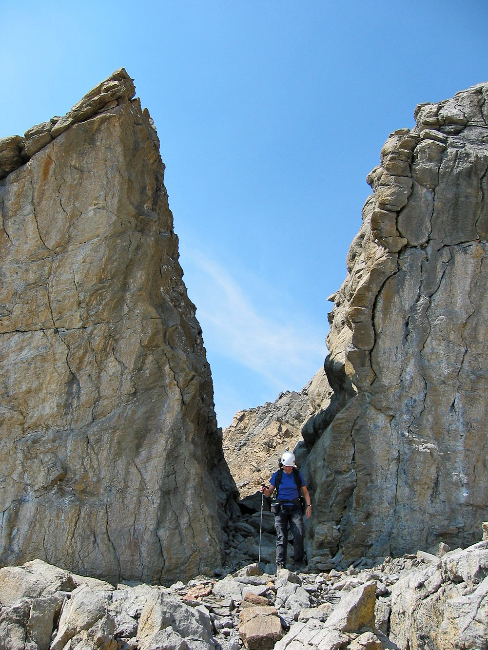
Coming down between two boulders
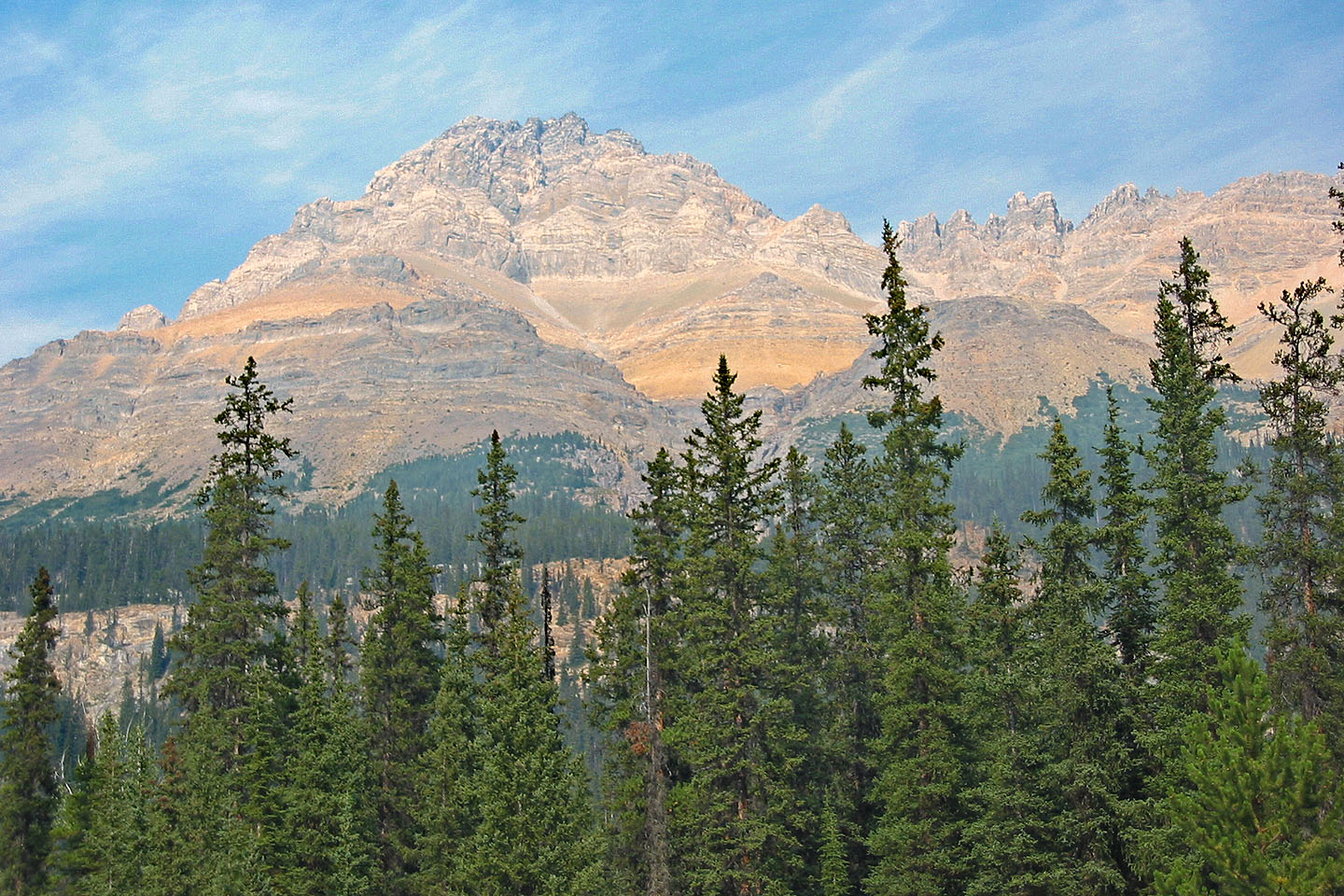
Mount Weed from the highway
82 N/15 Mistaya Lake