bobspirko.ca | Home | Canada Trips | US Trips | Hiking | Snowshoeing | MAP | About
Vents Ridge Trails
I went up Pack trail to a fork to what GAIA GPS calls White Buddha Alt. When I reached the ridge, I followed a trail east down to the saddle where it disappeared. I went back the ridge trail and continued to Vents summit. I returned on Corri Robb and Pack trail.
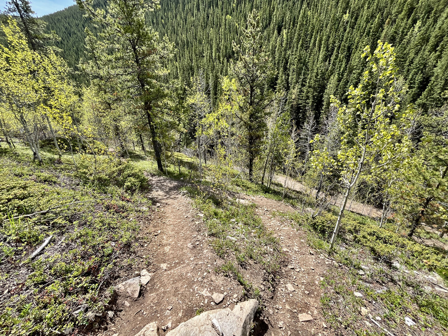
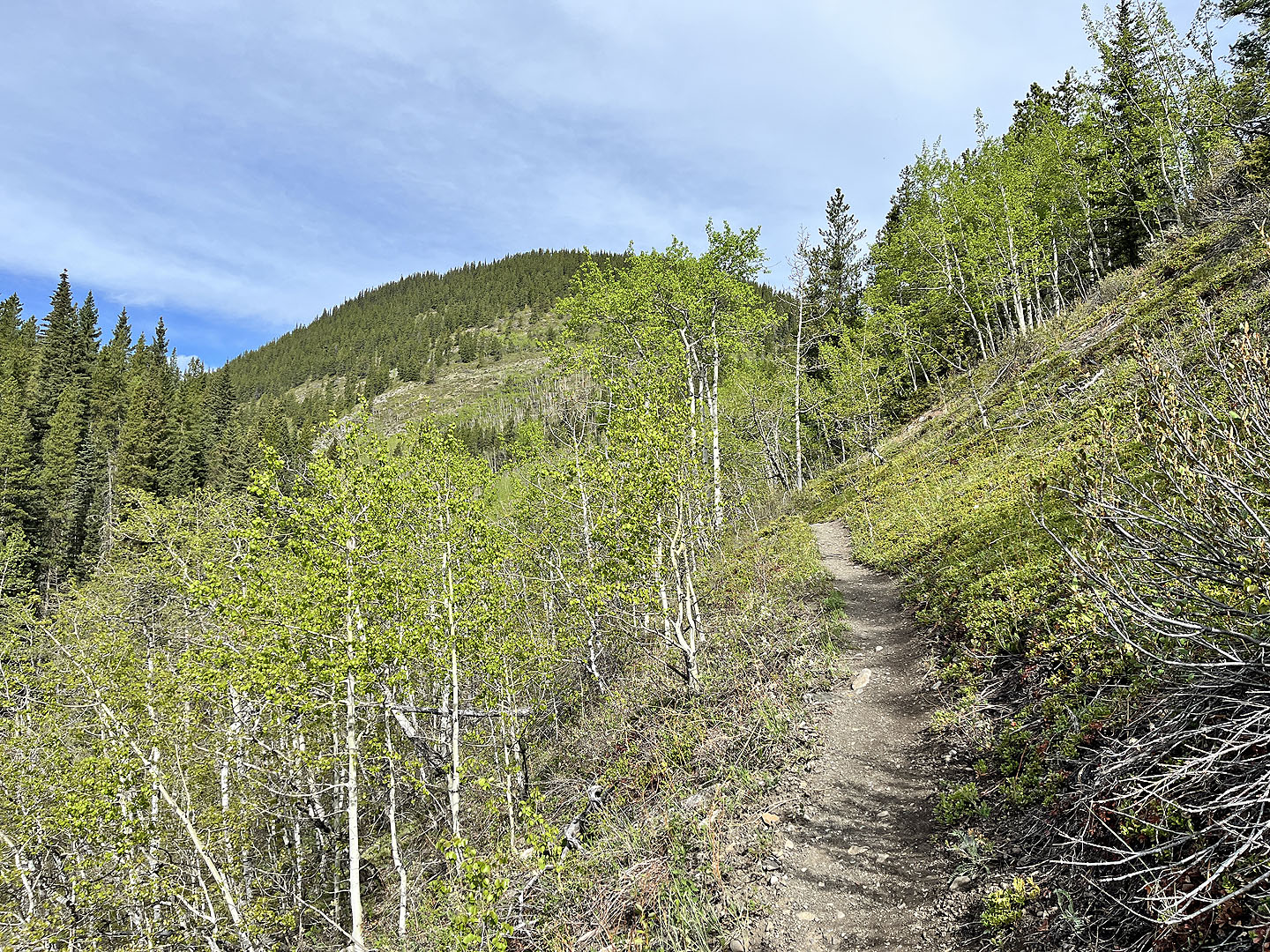 Pack trail after hiking a few minutes
 Trail forks, White Buddha Alt trail on the right climbs steeply, left, Pack trail runs to Corri Robb.
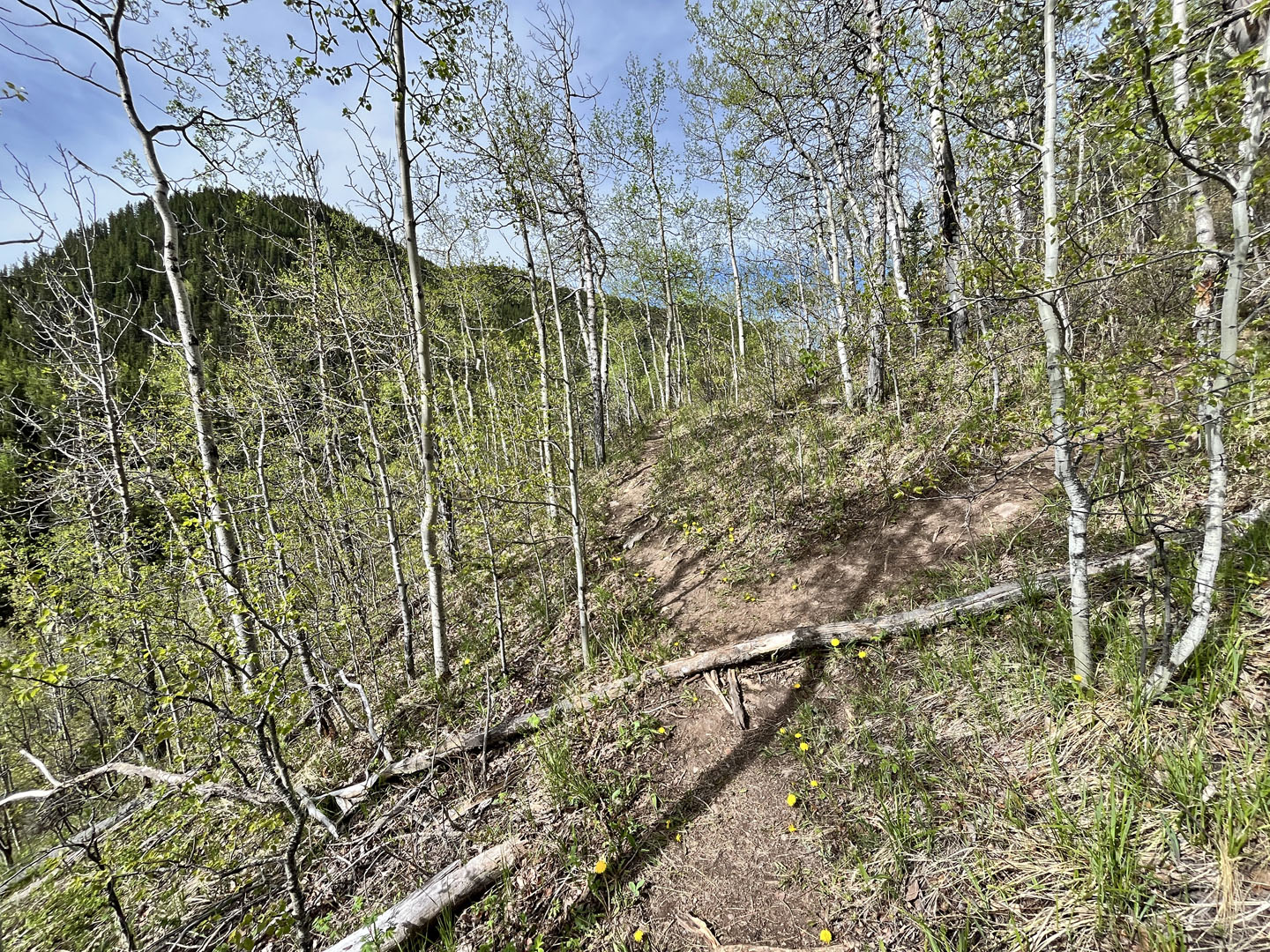
 Steep, slippery section, but there are short, braided trails on the right that are easier
 Looking down at braided trails
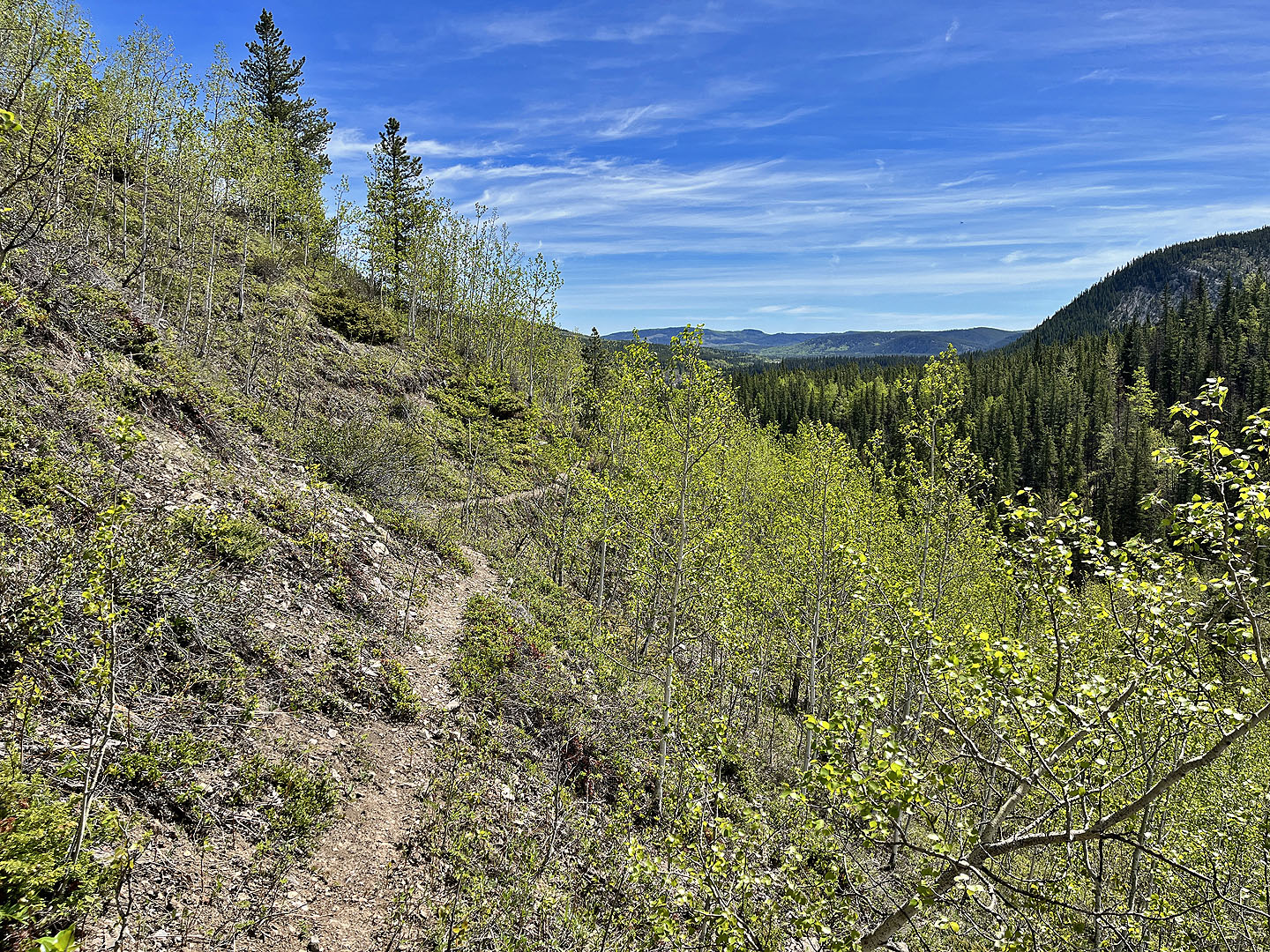
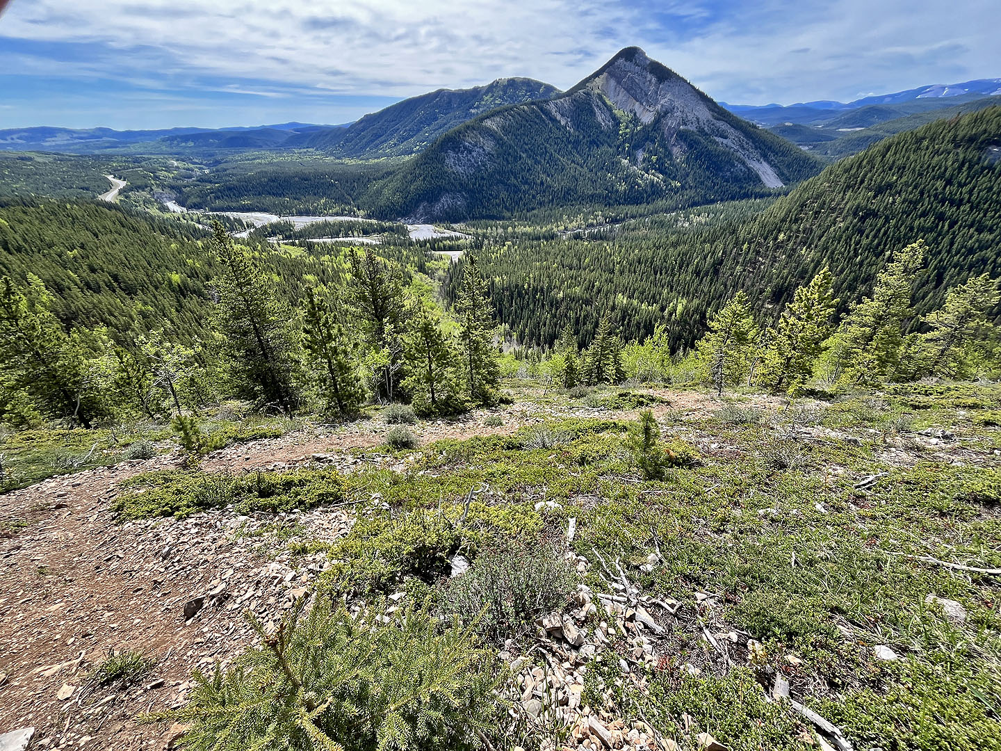 Nice view near the ridgetop before the trail goes into trees
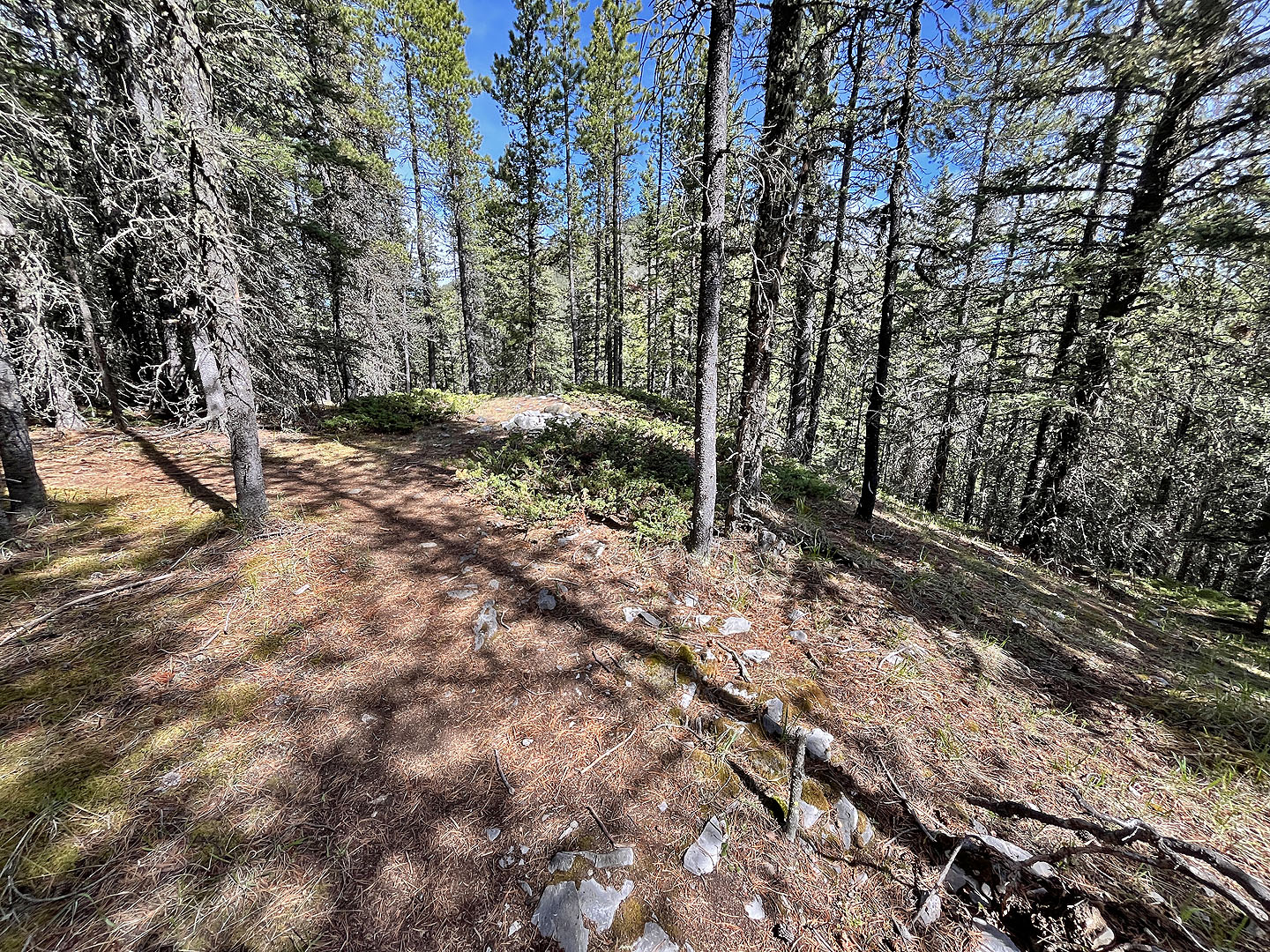 Main trail turns left on the ridgetop. Trail on right goes down to saddle
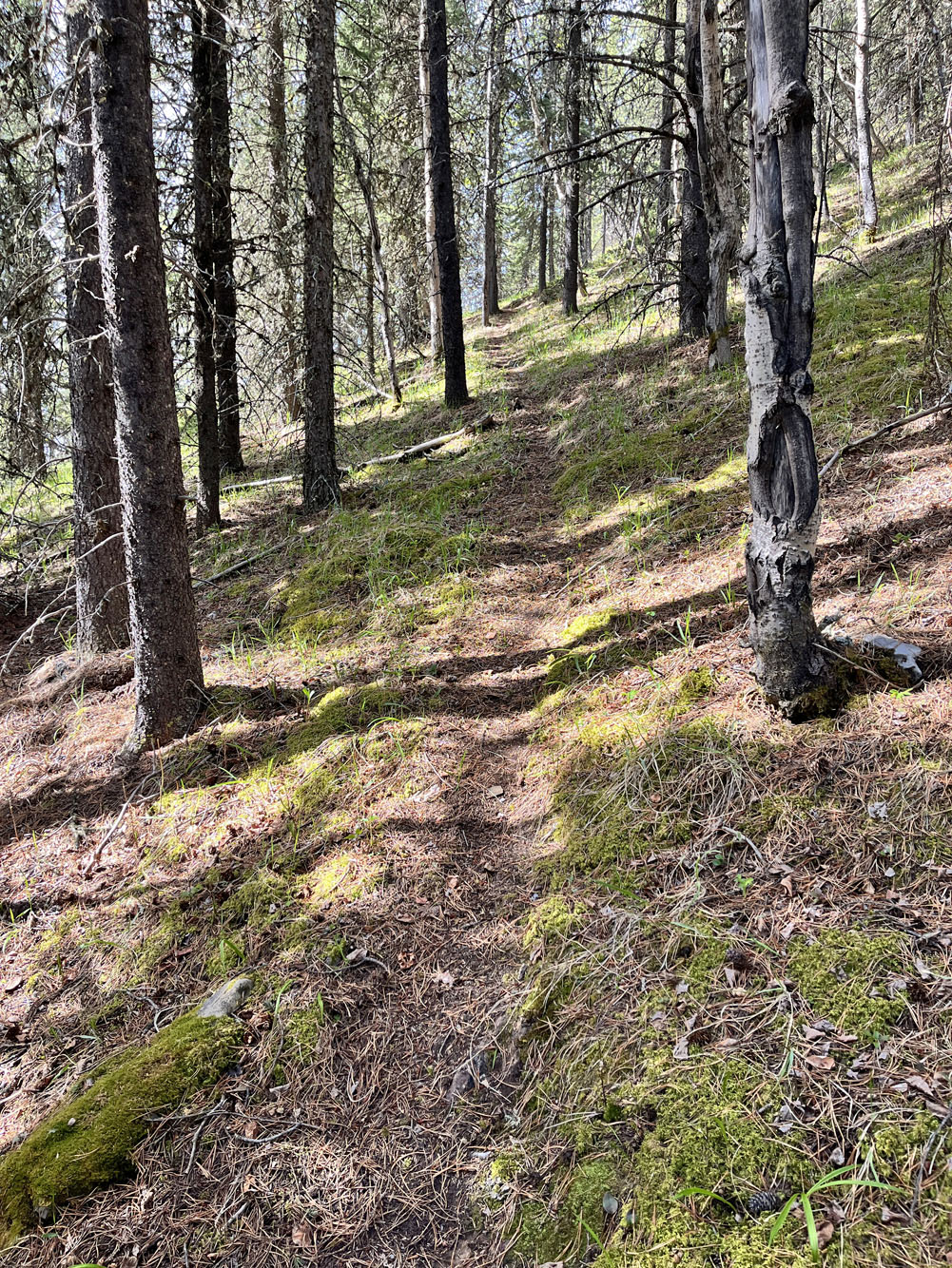
Looking up the trail before it reaches the saddle
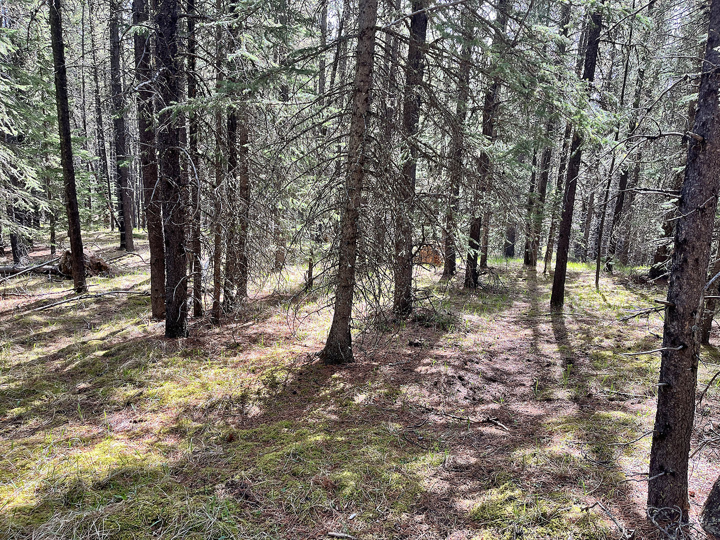 Trail disappears on the saddle
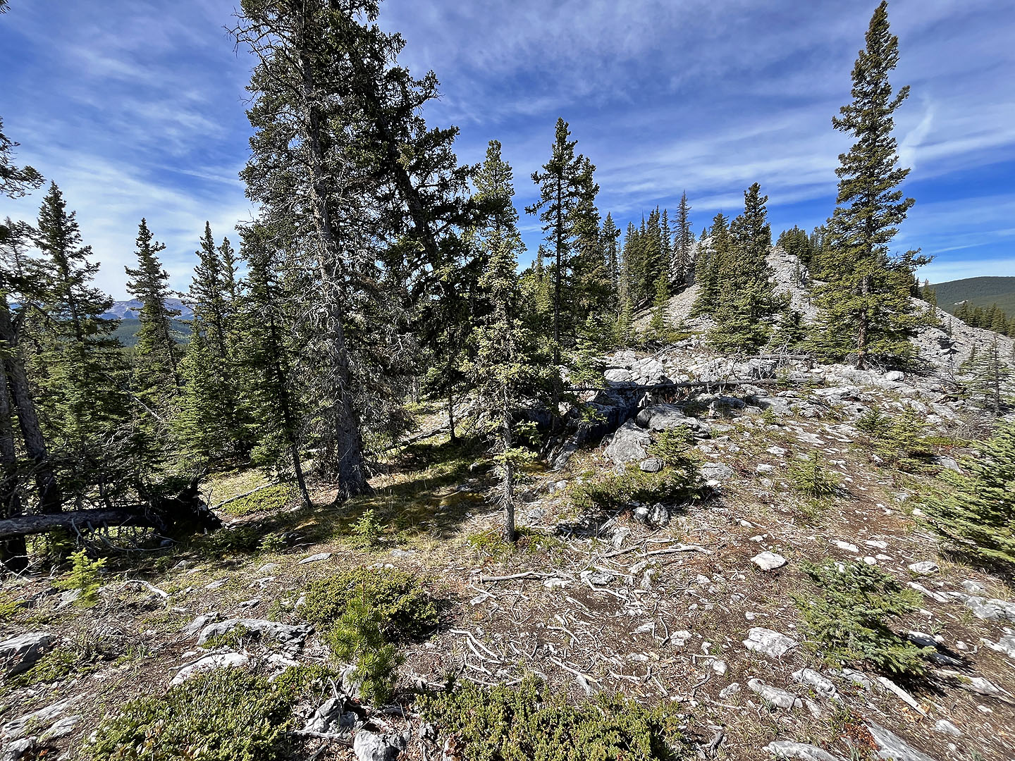 I followed the ridge trail to the summit although the trail disappears briefly in the rocks
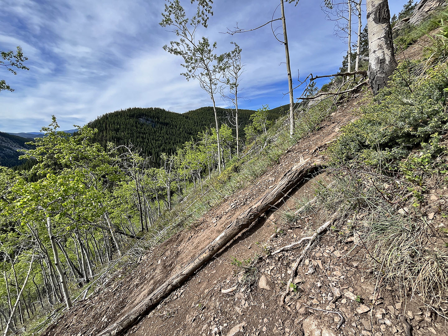
 The bottom of Corri Robb. Below is Powderface Creek Trail. Left is Pack trail.
 Pack trail
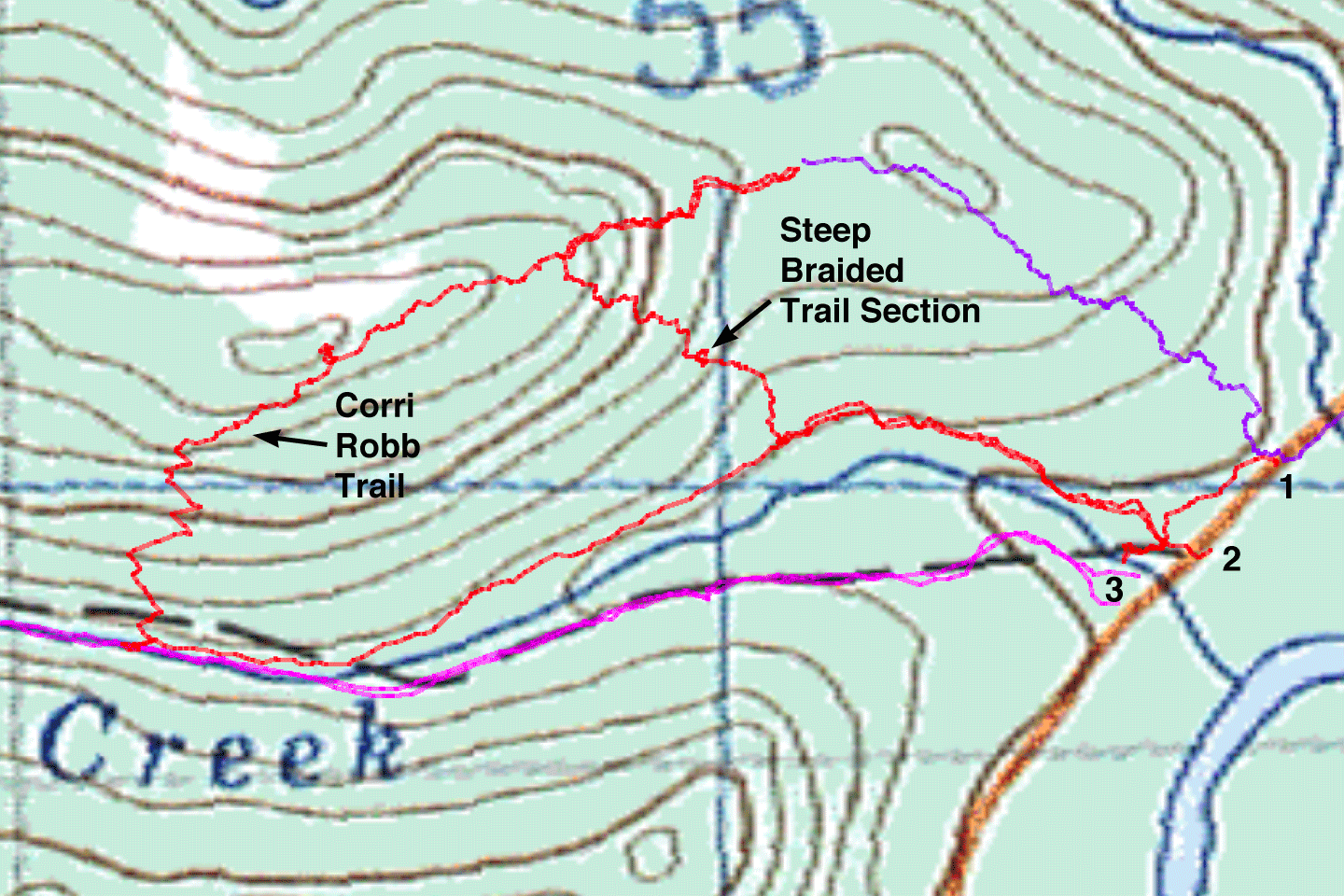 Red: my route, all on trails; purple: offtrail route; pink: Powderface Creek Trail
Access 1 & 2 can be reached from highway parking lot. Access 3 is Powderface Creek Trail parking.