bobspirko.ca | Home | Canada Trips | US Trips | Hiking | Snowshoeing | MAP | About
South Limestone Ridge
Kananaskis, Alberta
November 8, 2000
Distance: 11.0 km (6.8 mi)
Cumulative Elevation Gain: 590 m (1936 ft)
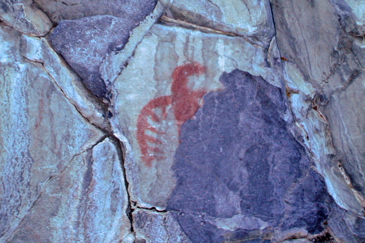
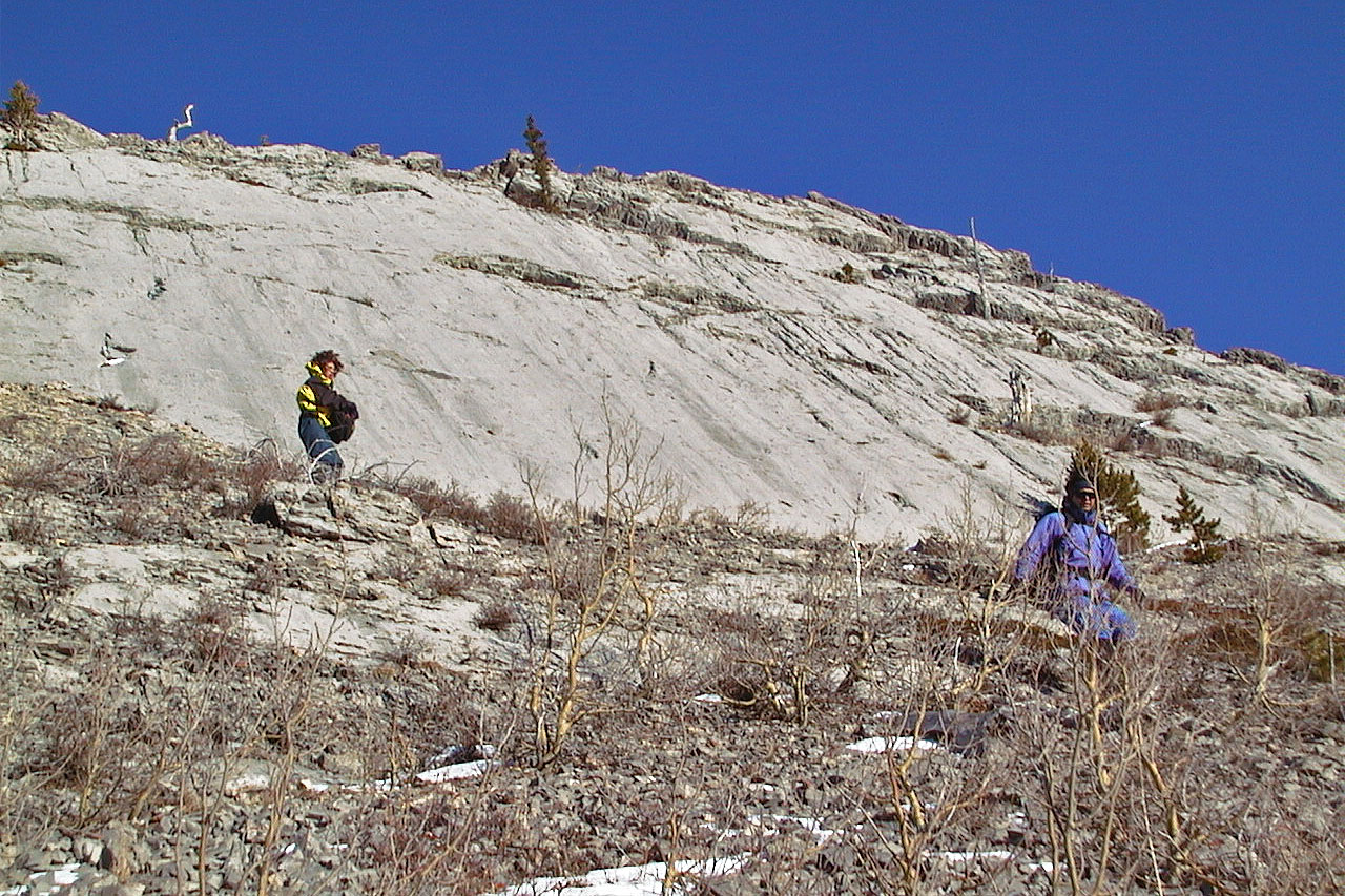
Dale, Caroline, Elizabeth and I set off up Zephyr Creek to see the pictographs on Painted Creek. After viewing the 300-year-old paintings, we ascended the southwest slope to reach the summit of South Limestone Ridge. After taking a break on top, we descended the west slope to get back to Zephyr Creek.
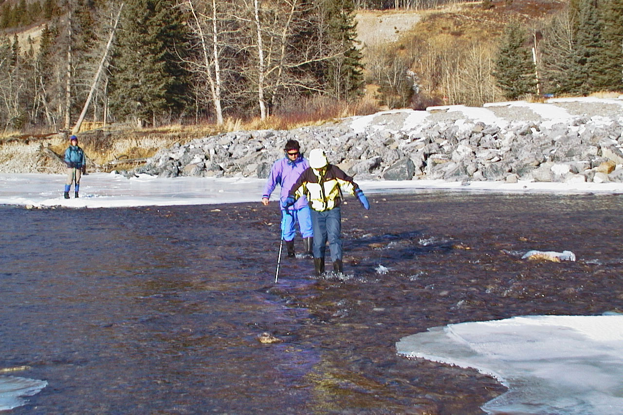
Fording the Highwood River
After fording the river, we made our way to Zephyr Creek
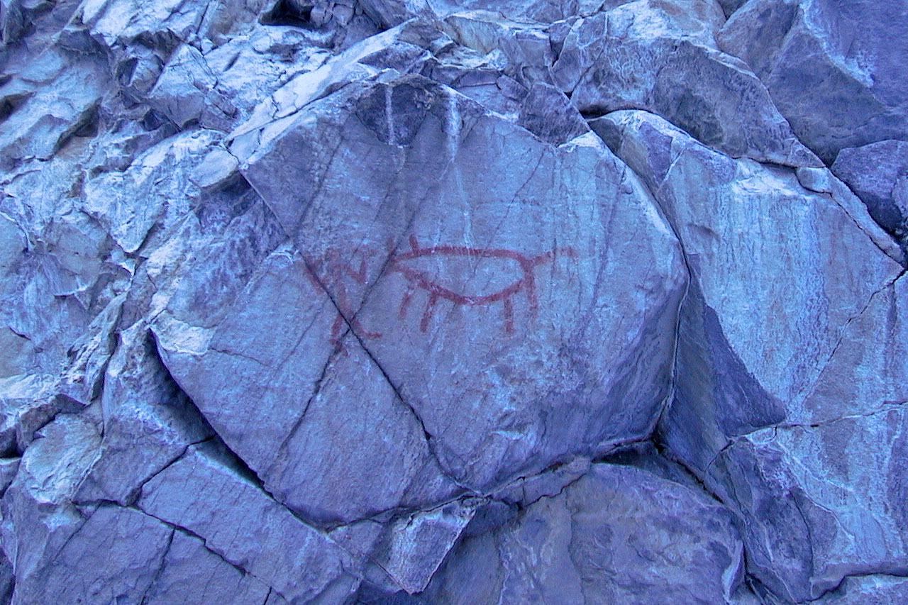
One of the pictographs (mouse over for a closer look)
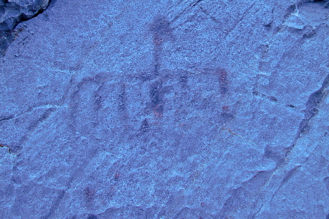
Another one, what's left of it
Another one, a bird?
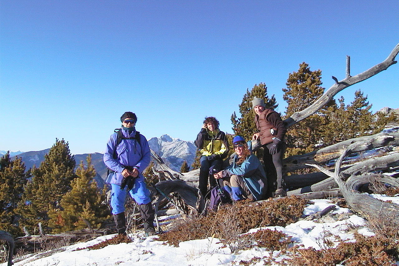
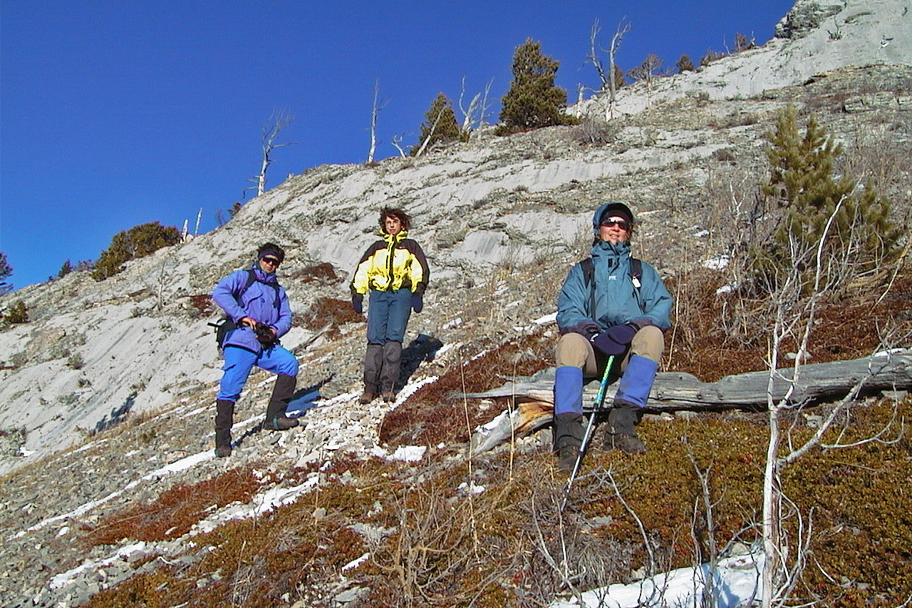
Dale, Elizabeth, Caroline and I stop for a photo
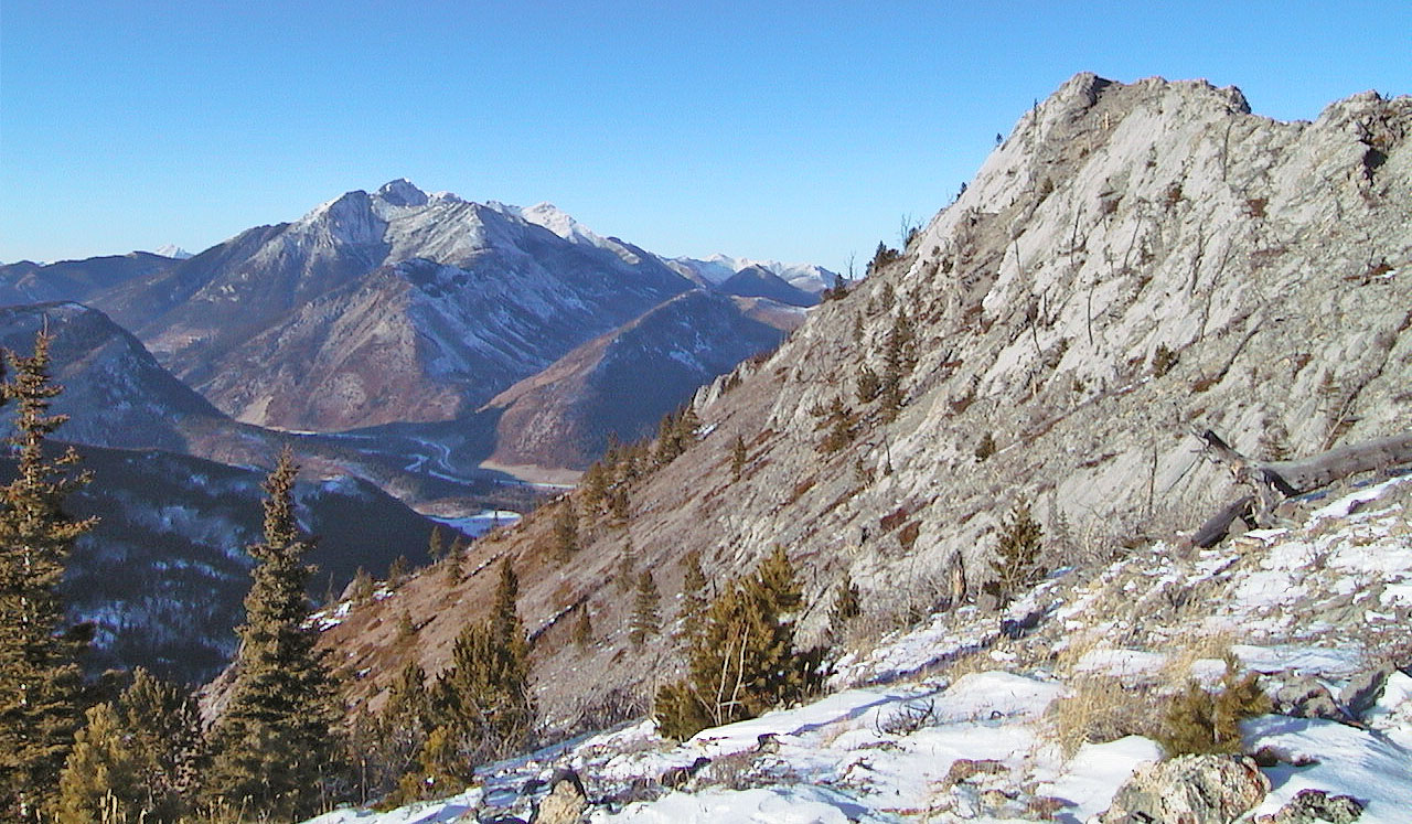
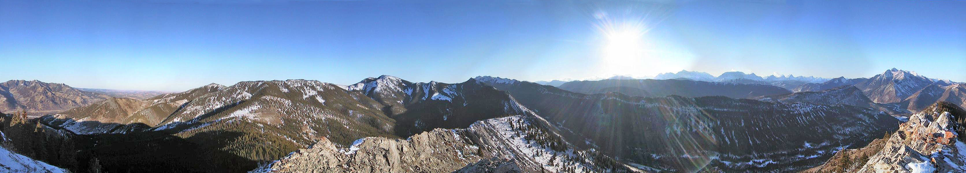
View north to Holy Cross Mountain
Heading down from the high point
Pausing on the way down
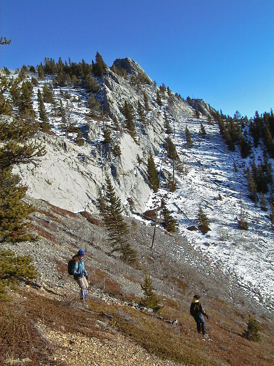
Looking back at the summit
82 J/7 Mount Head