bobspirko.ca | Home | Canada Trips | US Trips | Hiking | Snowshoeing | MAP | About

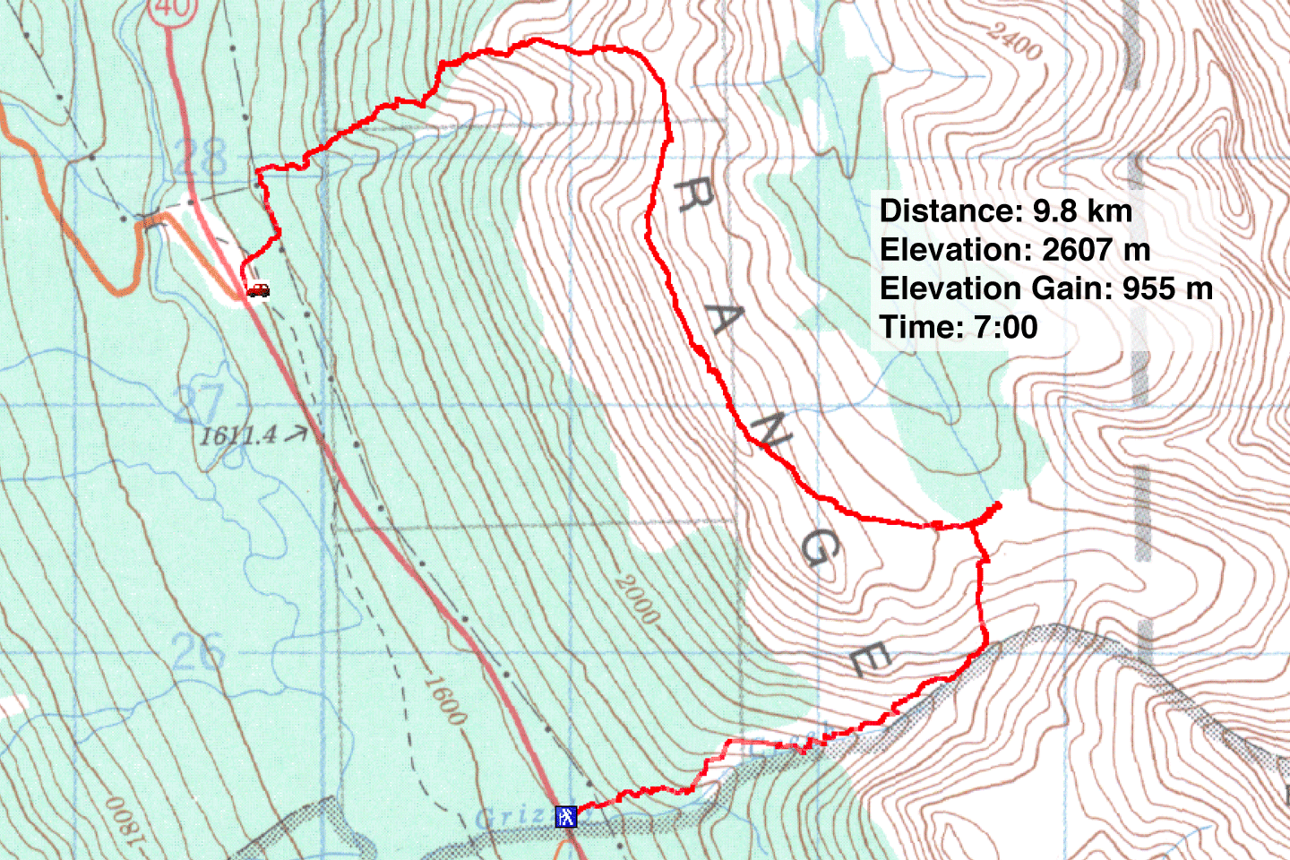
Opal Ridge South Traverse
South End Traverse from Grizzly Creek
Kananaskis, Alberta
May 1, 2004
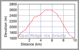
Distance: 9.8 km (6.1 mi)
Cumulative Elevation Gain: 983 m (3225 ft)
Originally we set off to explore the peaks east of Opal Ridge, but when we encountered bears tracks, we changed our plans.
We hiked up Grizzly Creek using animal trails. The creek follows a deep valley that leads to Rocky Creek Meadows. We started crossing the meadows, but when we encountered two sets of fresh bear tracks – a sow with her cub apparently – we decided not to push on. Indeed, the tracks headed toward Grizzly Creek where we had just came from.
Since we risked running into the bears if we returned the same way, we decided to make this a one-way trip. We climbed the east slopes of Opal Ridge, and after gaining the ridge we followed it north to Opal South Peak. From the summit, we continued north to reach the direct route up Opal Ridge. Dropping down the other side we reached the trailhead at the gas station and caught a ride back to our car.
Heading to Grizzly Creek
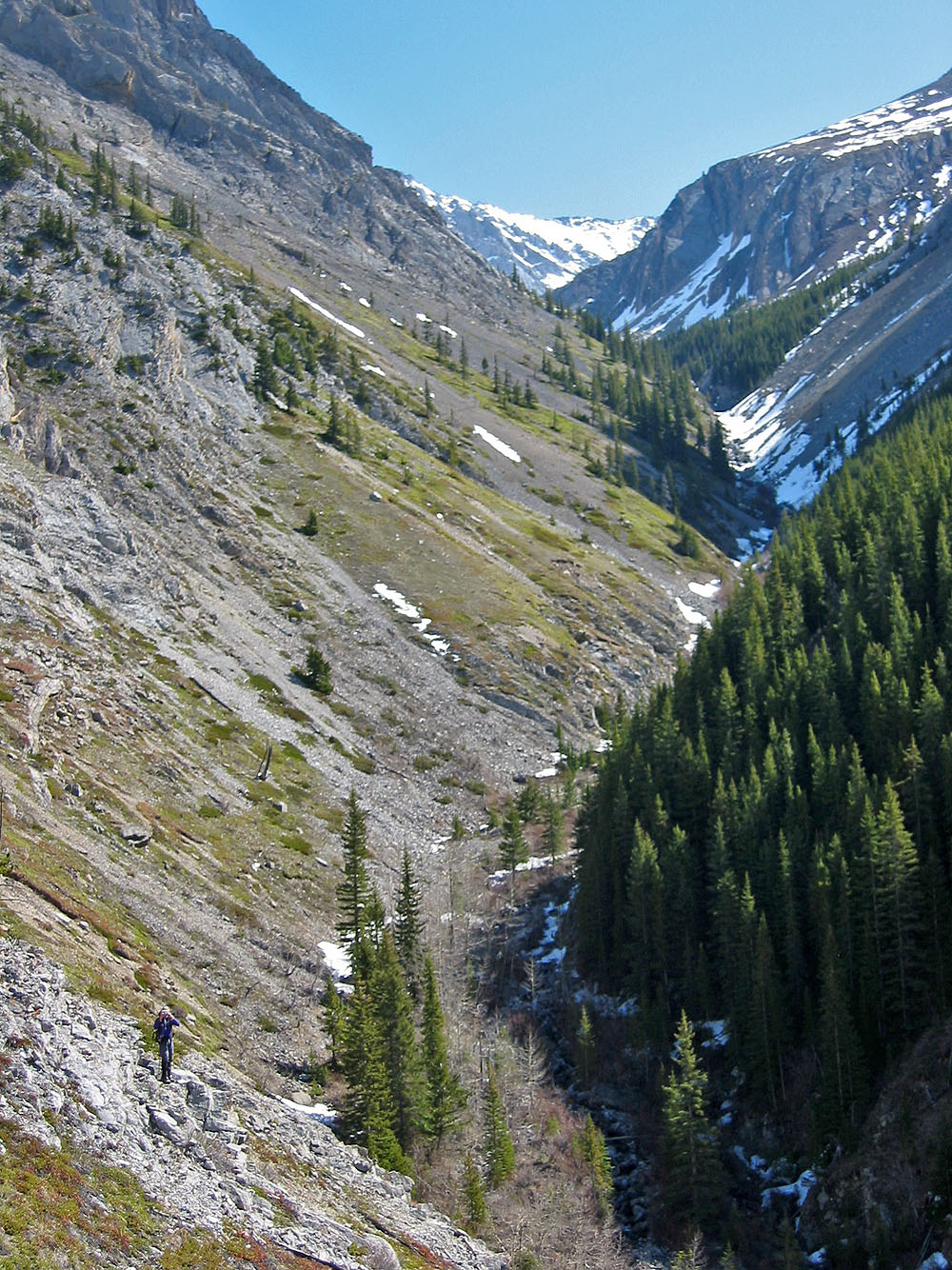
The narrow confines of Grizzly Creek
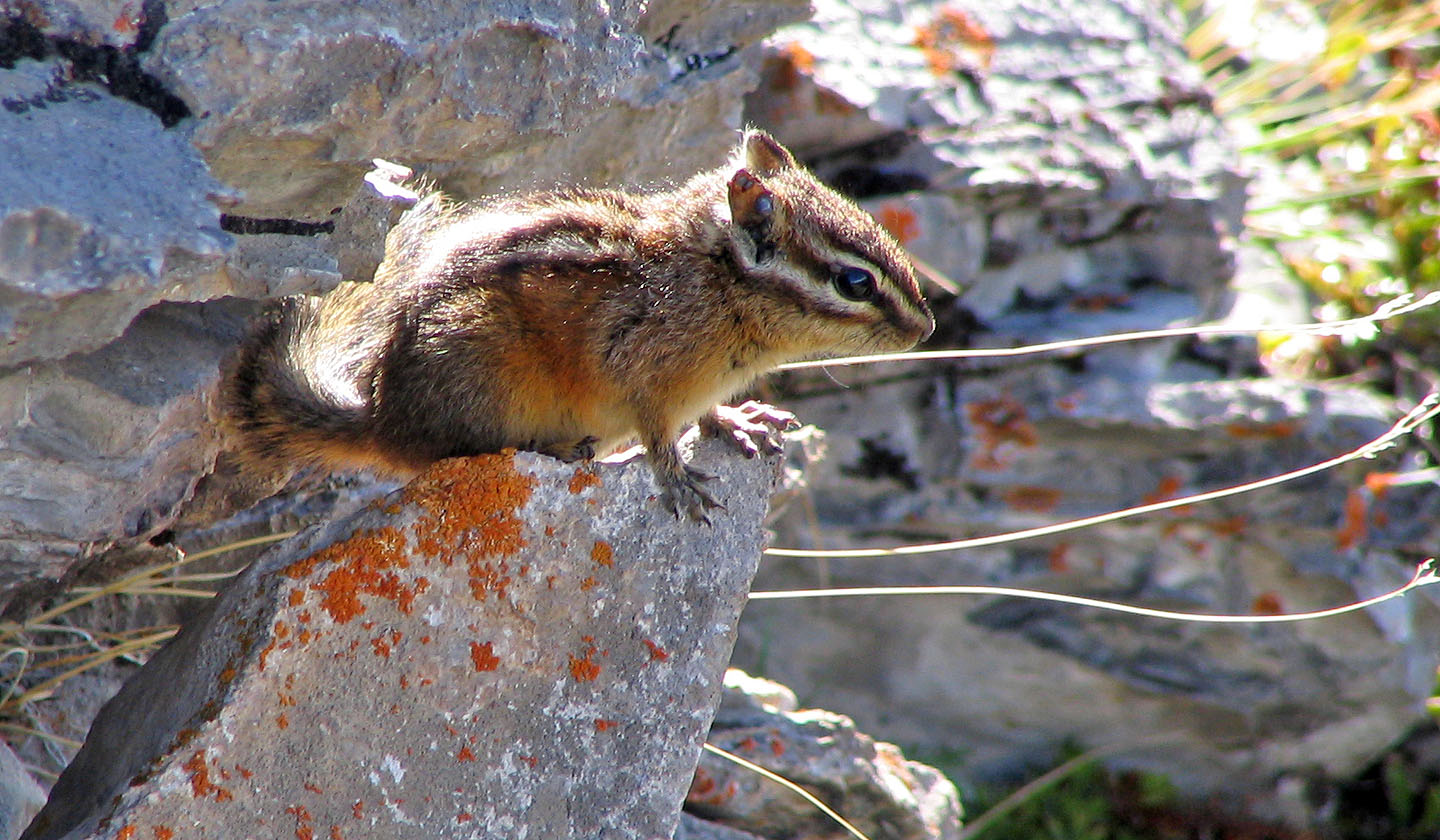
A chipmunk checks us out
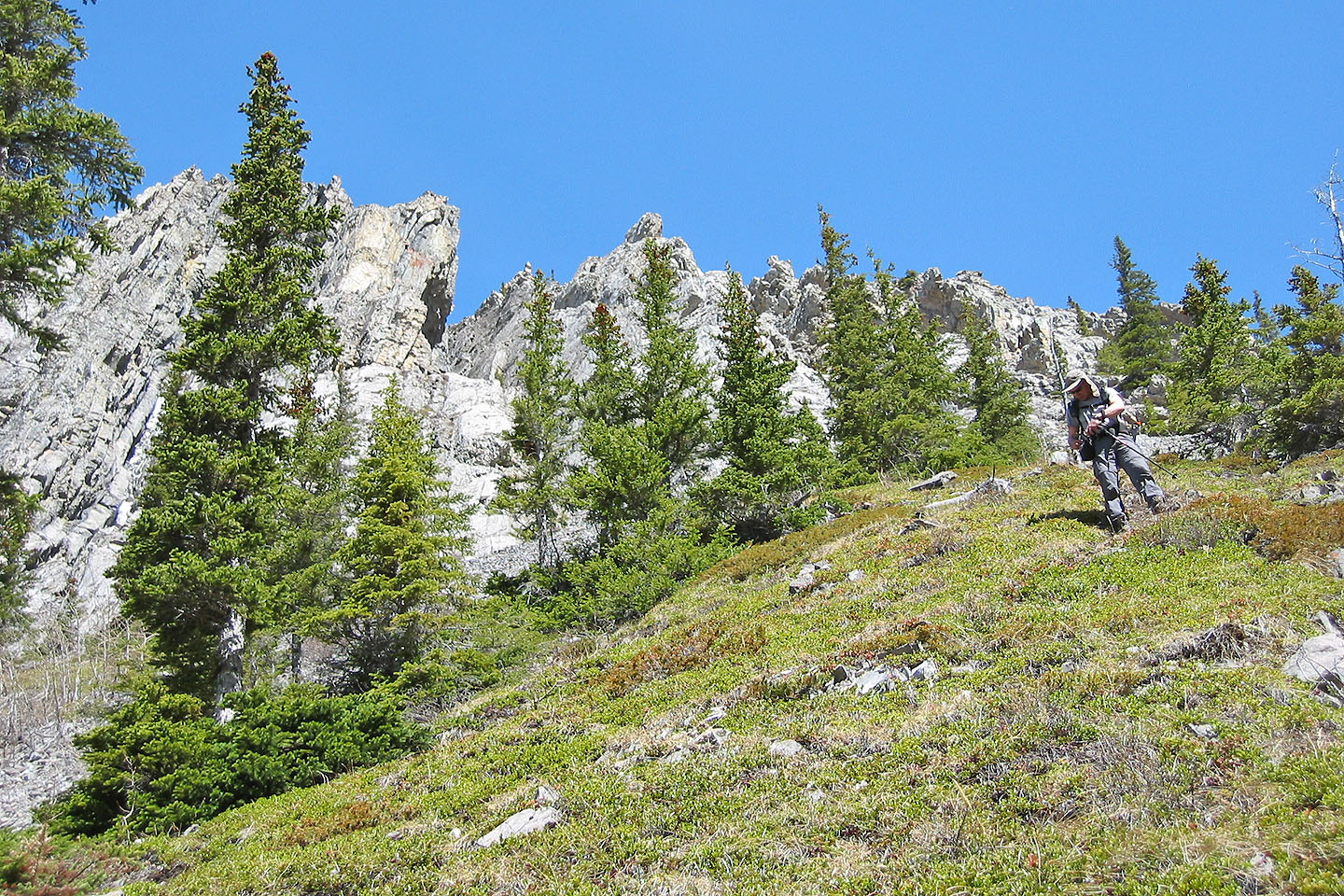
We passed some unusual rocks
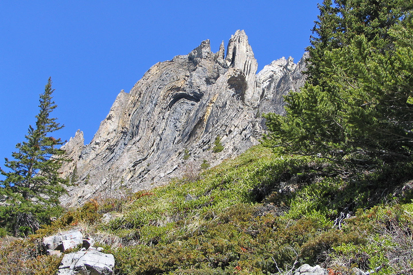
Interesting rock formation
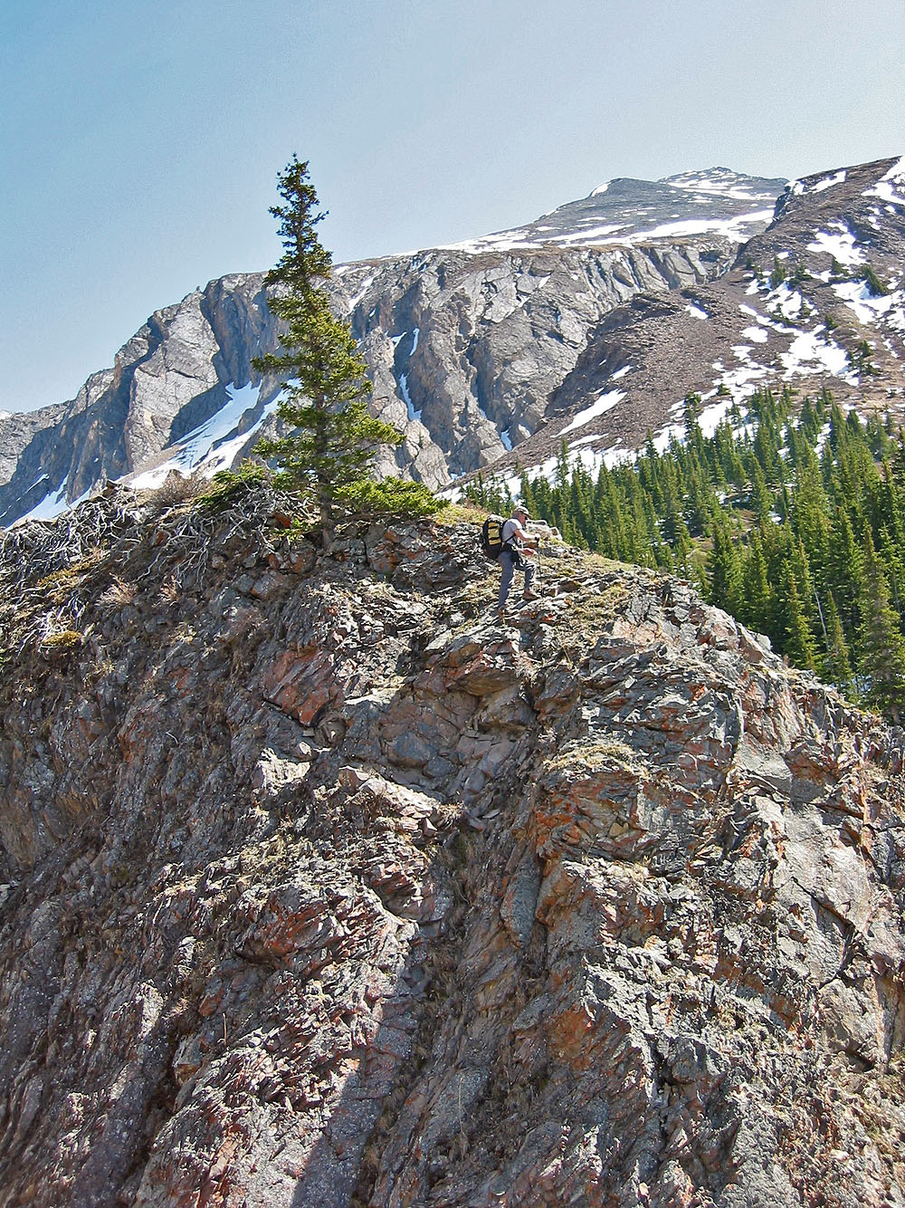
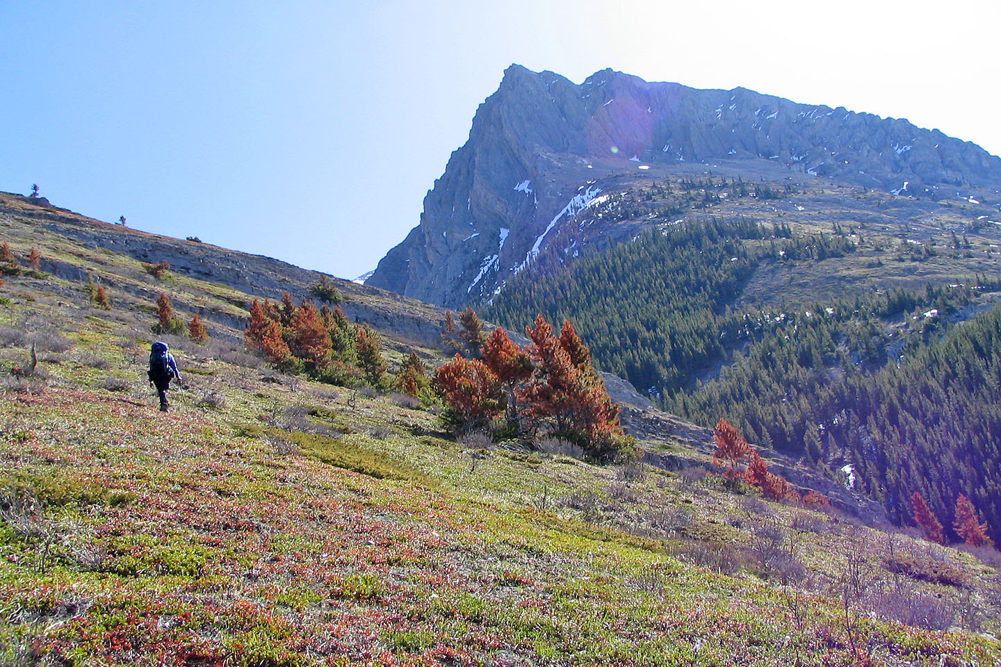
A lone tree on a high point along the way
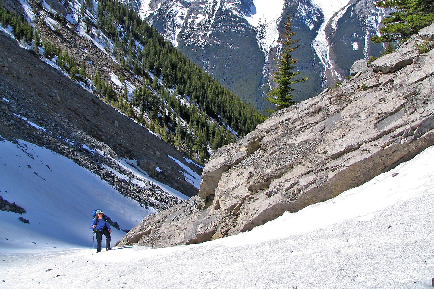
Hiking up snow
On the creek itself but not for long
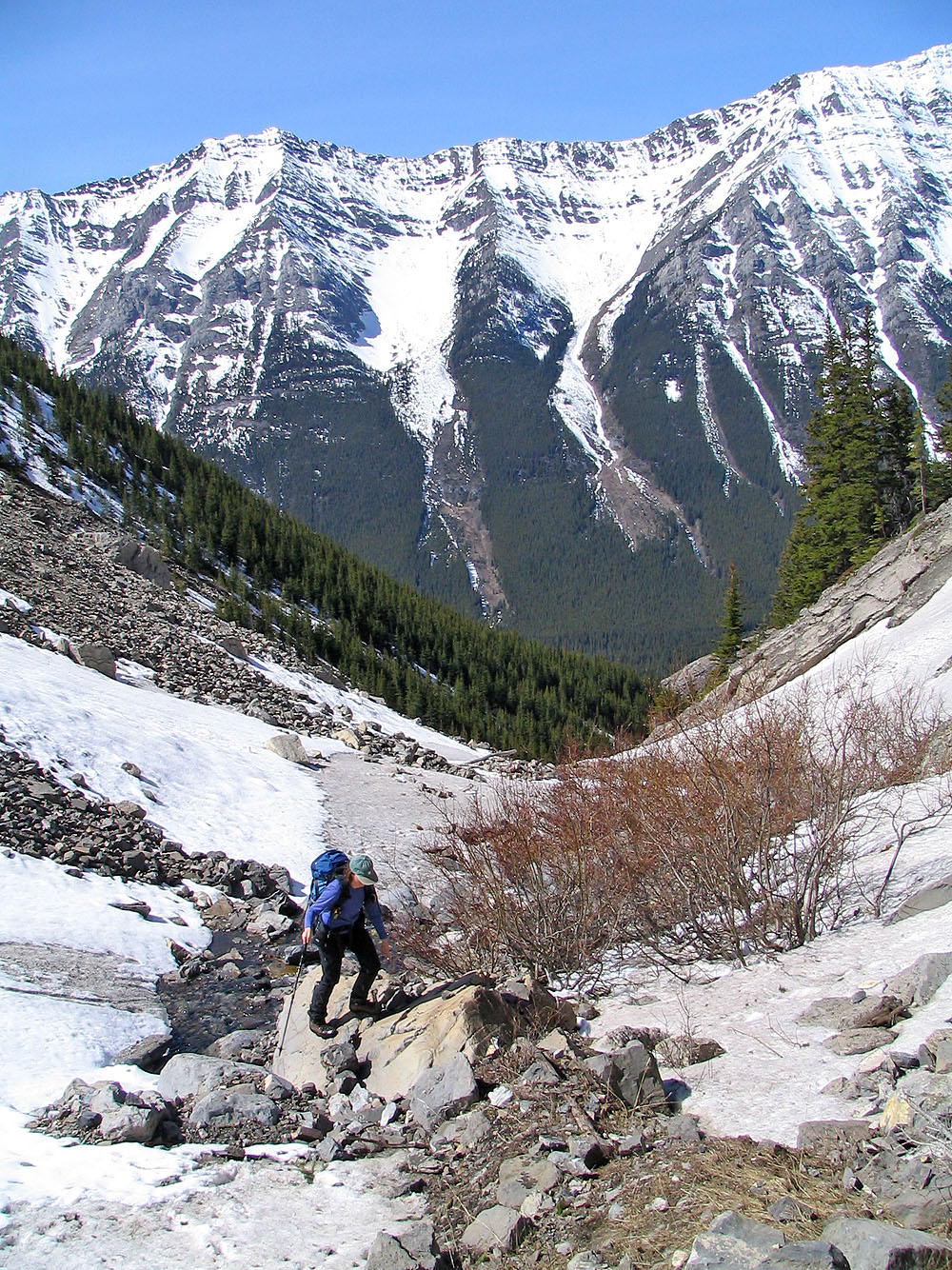
We're forced to traverse above the creek
Almost at the meadows. Grizzly Peak behind us.
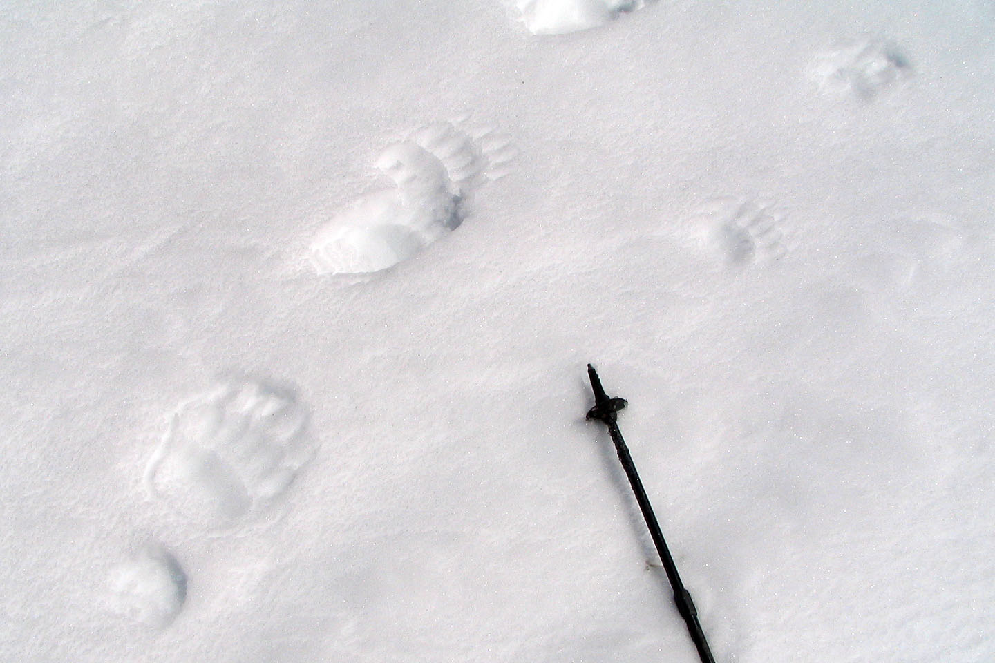
Large and small bear tracks
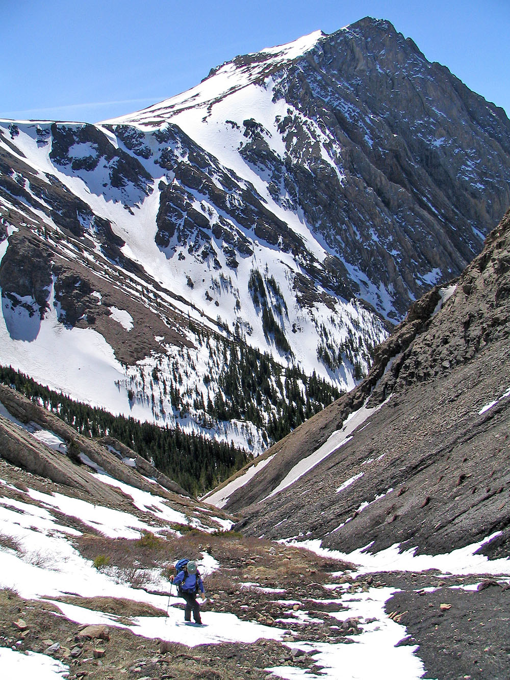
Unnamed peaks behind us
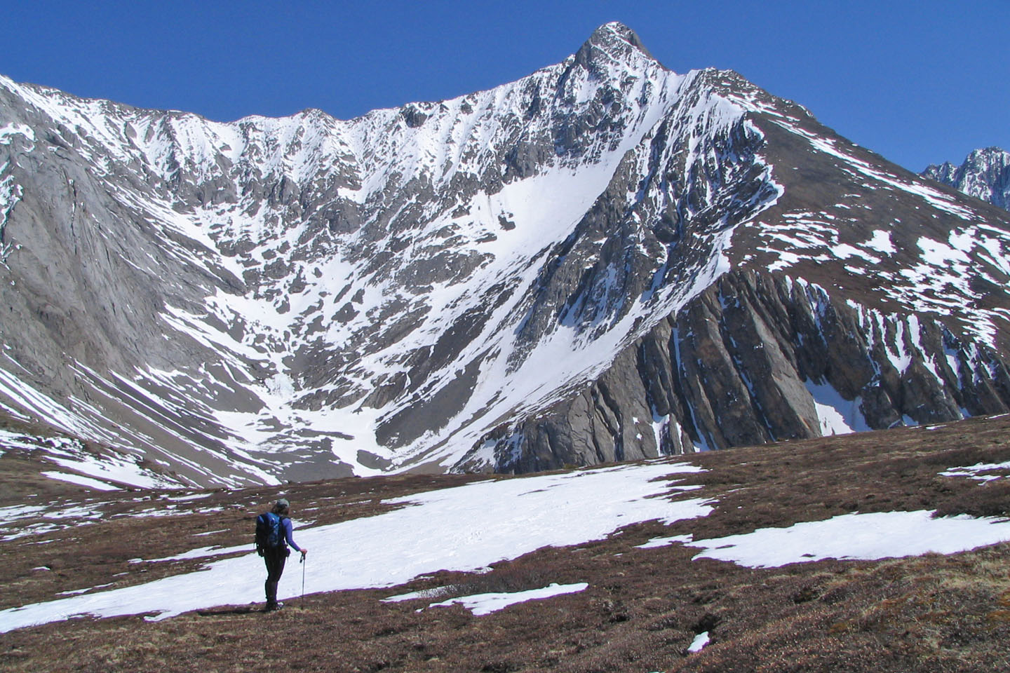
Mount Evan-Thomas
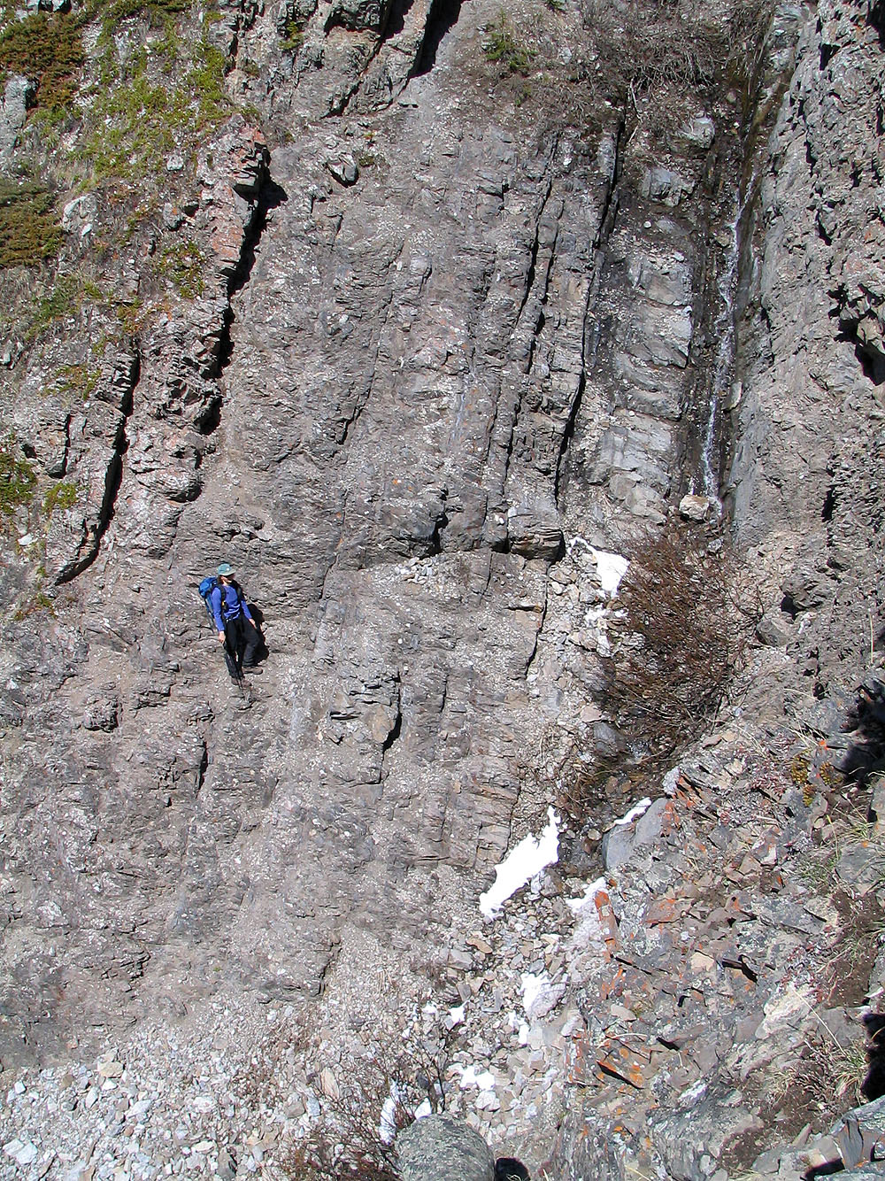
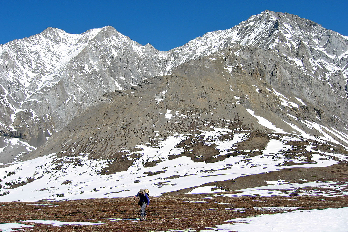
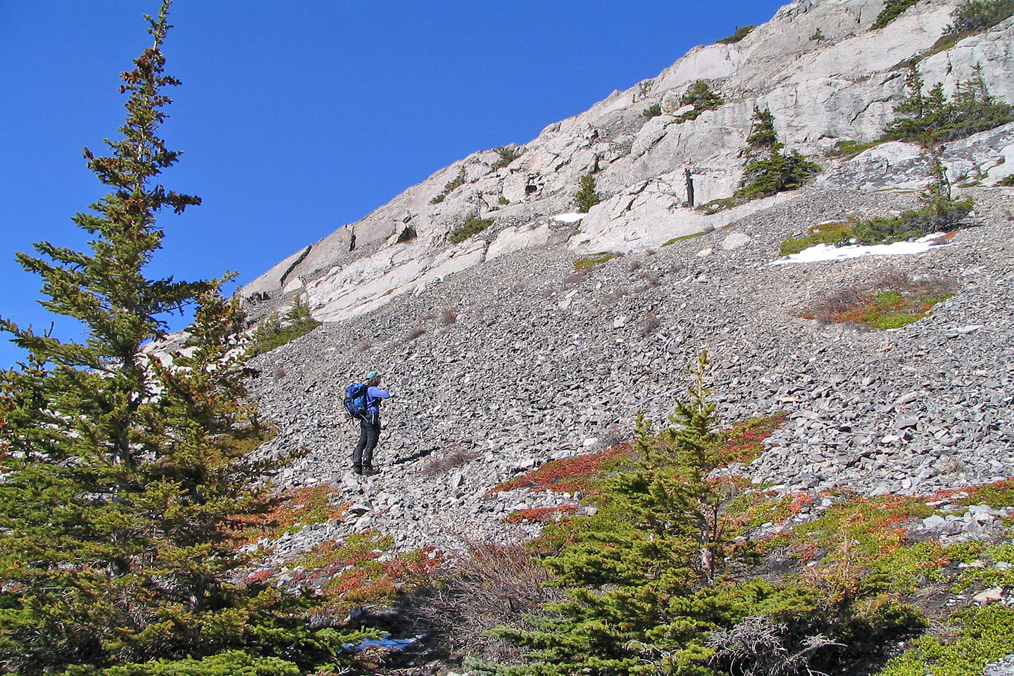
Ascending the east slopes of Opal Ridge
Unnamed peaks behind us
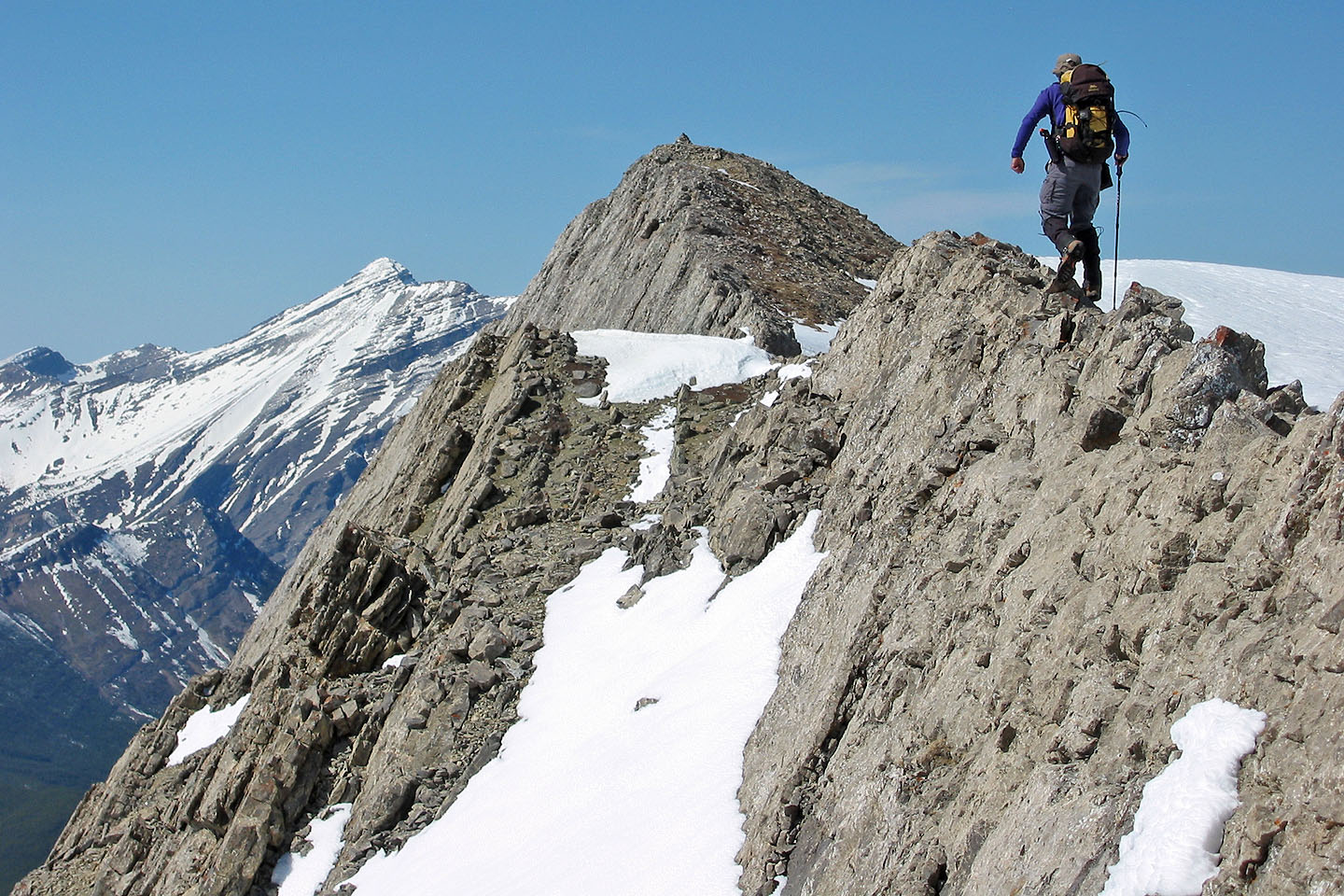
On the ridge
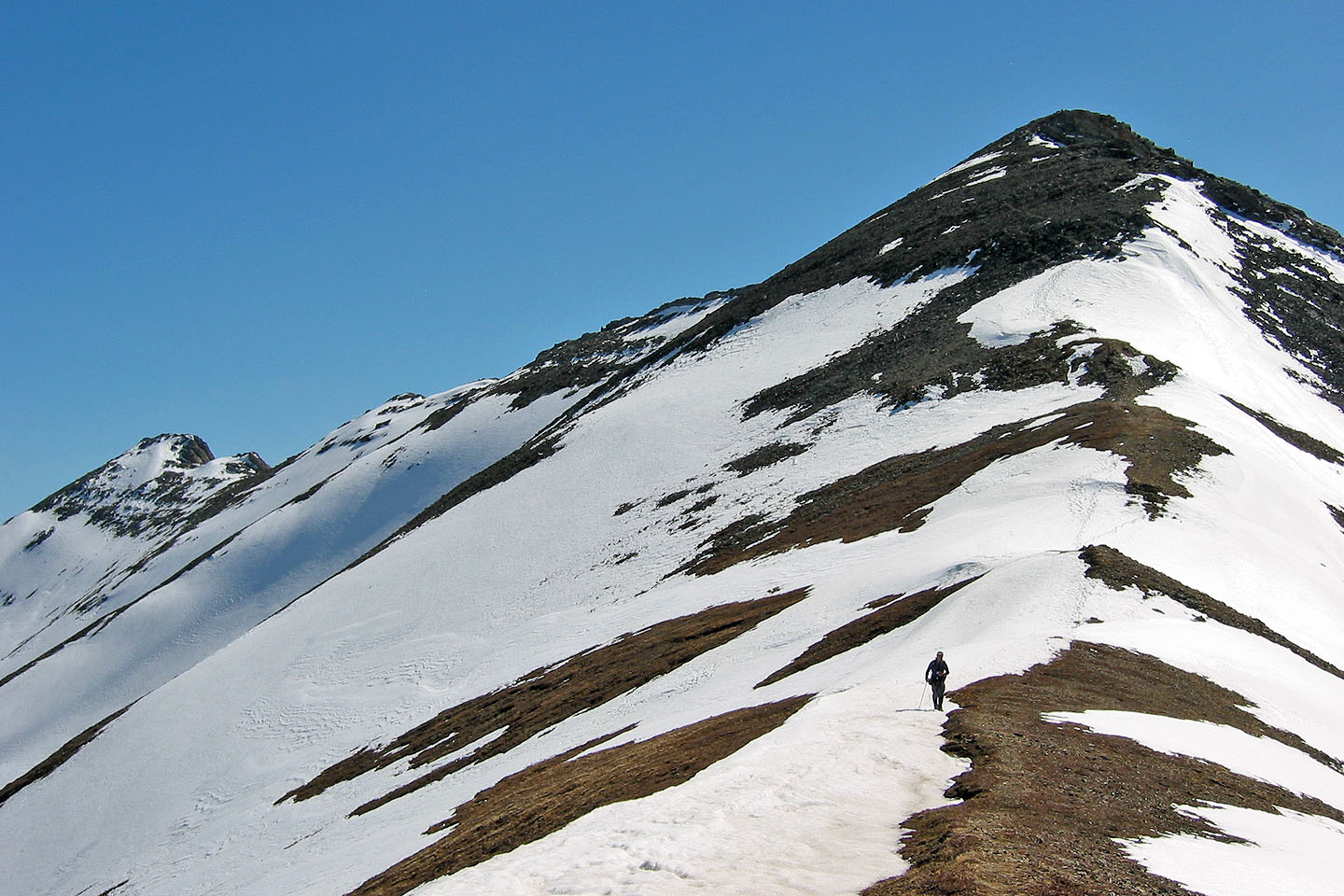
A minor loss of elevation along the way
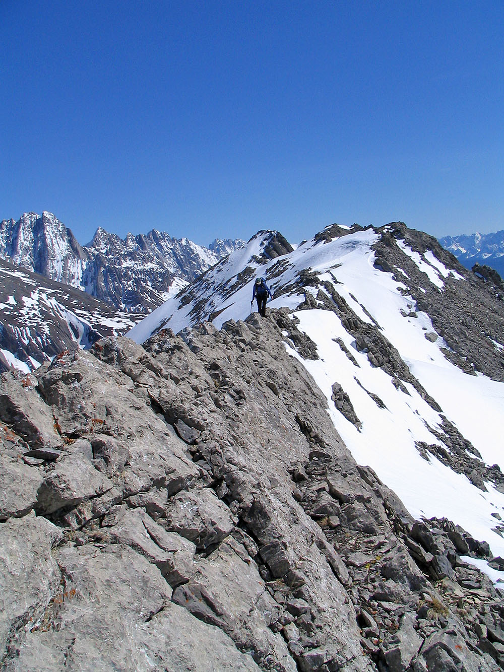
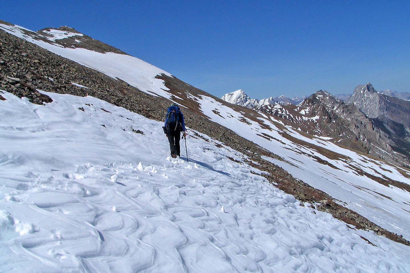
It's a long ridge
The summit is ahead
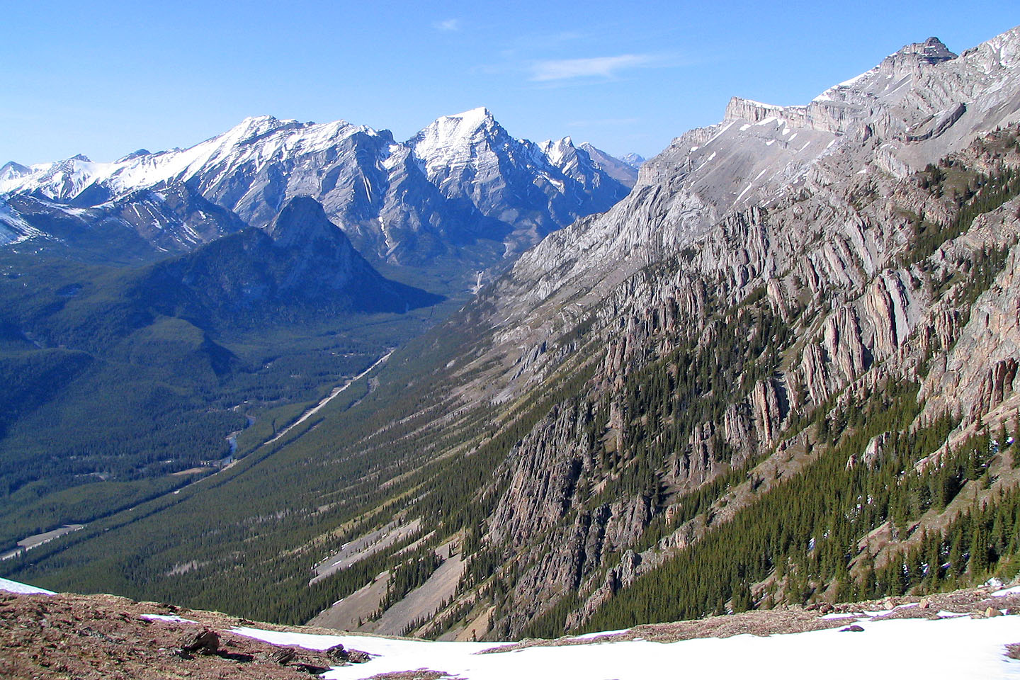
Looking down the valley
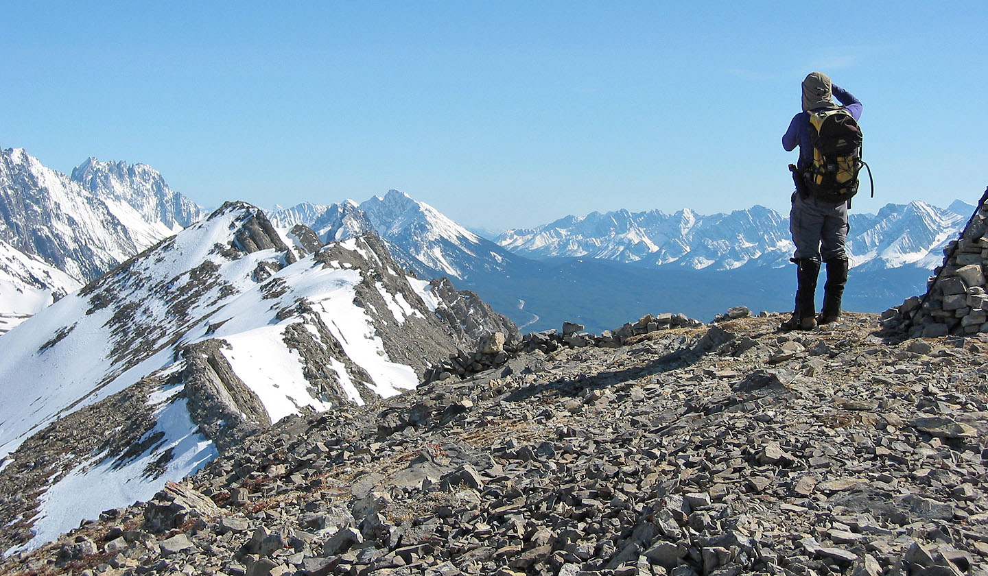
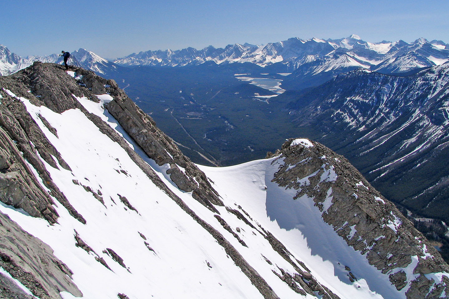
Looking back from the summit
Descending on the normal route
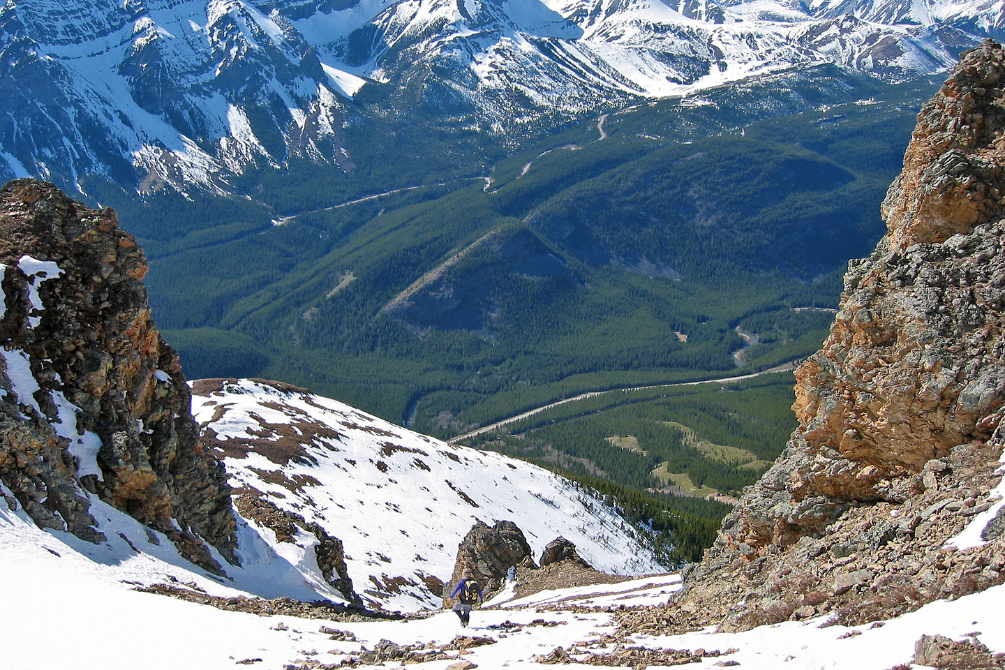
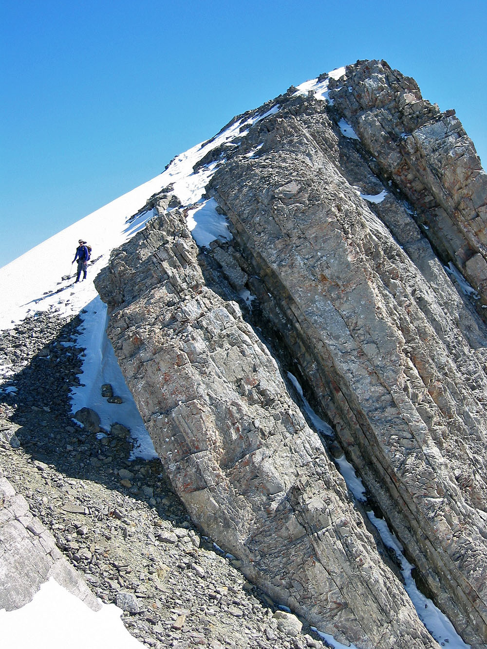
Going between the "gates"
Looking back at the gates
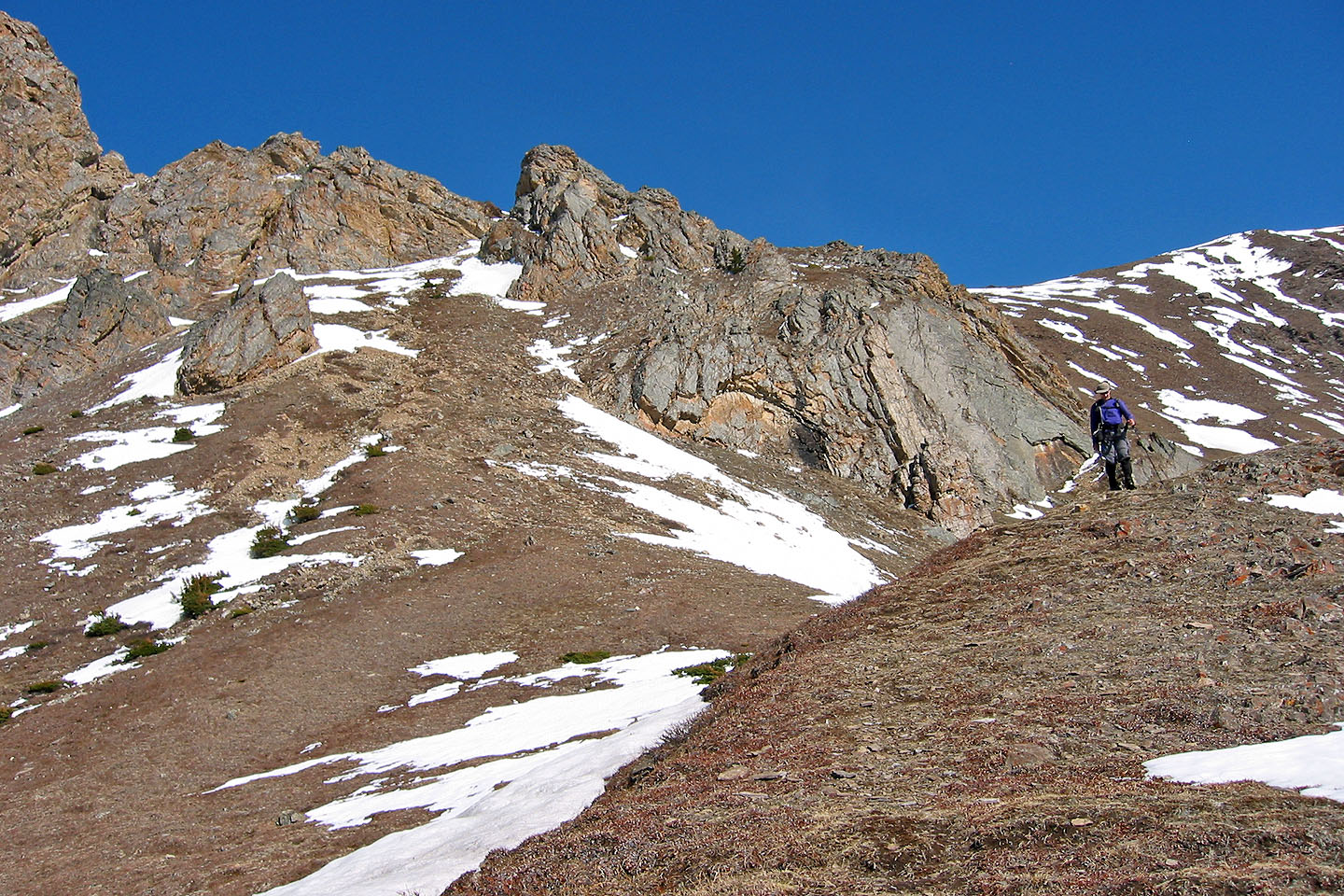
At the bottom of the cliffs
82 J/14 Spray Lakes Reservoir