bobspirko.ca | Home | Canada Trips | US Trips | Hiking | Snowshoeing | MAP | About

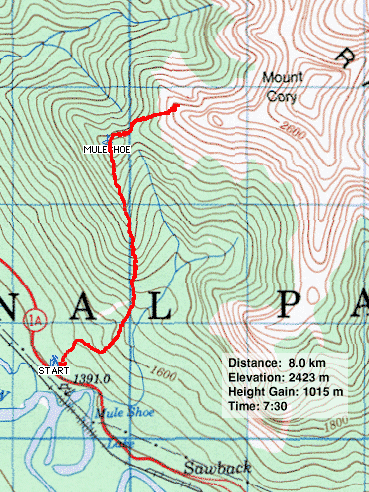
Muleshoe Ridge
Banff, Alberta
November 27, 2004
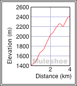
Since the forecast called for clouds and snow, Muleshoe Ridge seemed like a suitable trip in inclement weather.
Although the day started off cloudy, in the two hours it took Dinah and I to reach the top of the ridge, the clouds parted. We considered continuing on, but a look at the col from the ridge to Mount Cory revealed a steep drop. Deterred from continuing on, we bided our time taking pictures of big horn sheep. After an hour, however, we weren't ready to leave on such a fine day, so we looked for another way to reach the col. We found a descent that was steep but manageable.
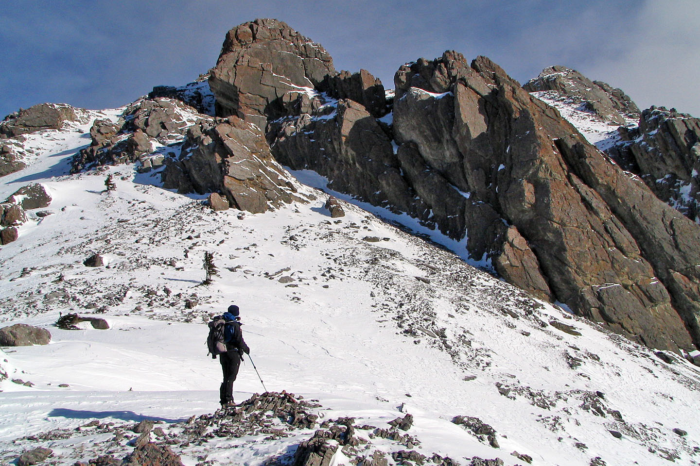
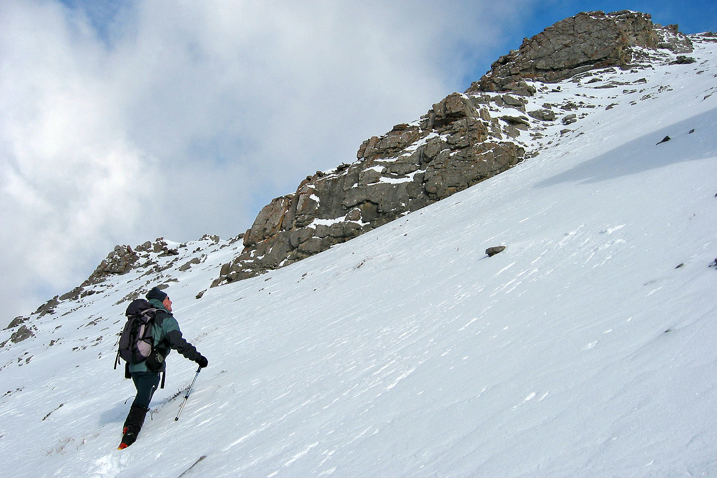
After dropping down 40 m to the col we headed up Mount Cory. We had no intention of attempting the summit, nor was I sure if it could be bagged from our approach; we just wanted to climb as high as we could. We hadn't brought our ice axes, so we were forced to turn back when the snow-covered slope became too steep. Not that we could have gone much farther. We only had three hours of daylight left. After taking a panorama, we started back down.
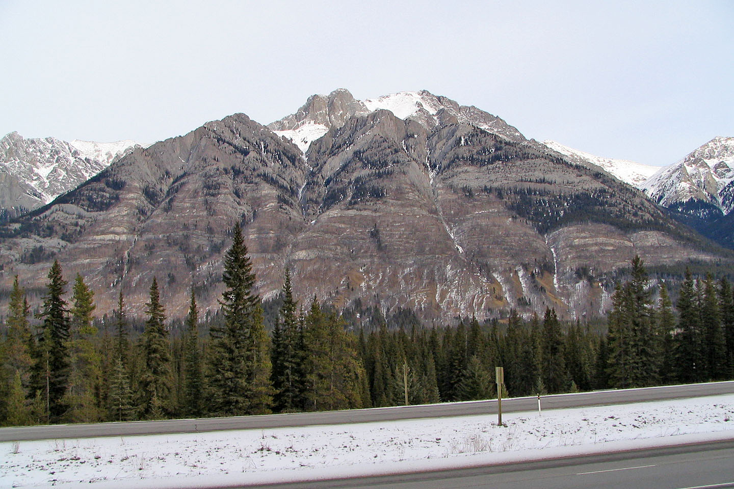
Muleshoe seen from Highway 1. The trail follows the east ridge (on the right).
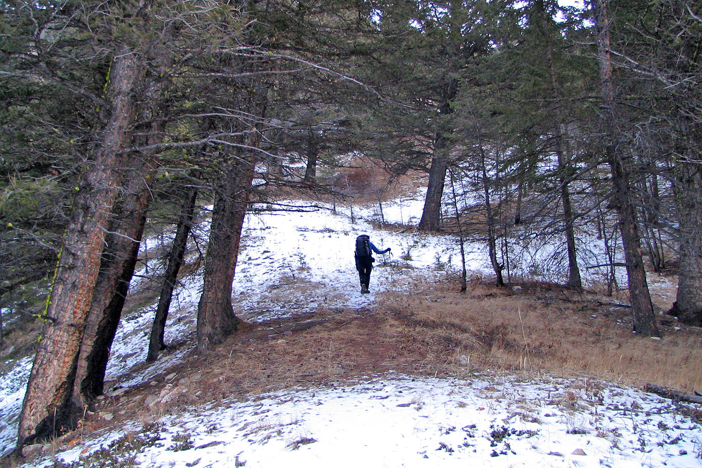
Starting up Muleshoe trail
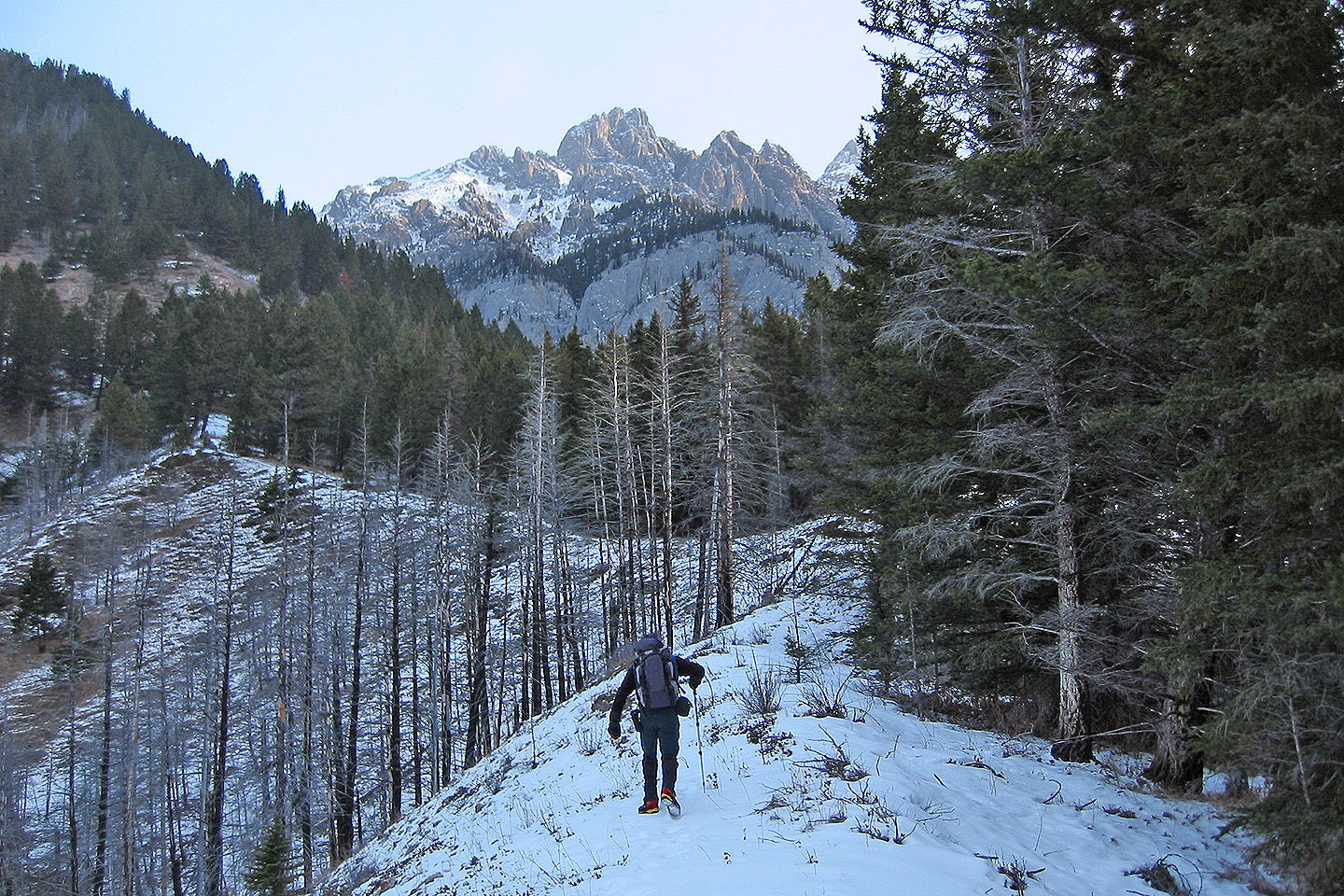
The trail follows a ridge

Higher up the ridge narrows. Here we come to a prescribed burn area.
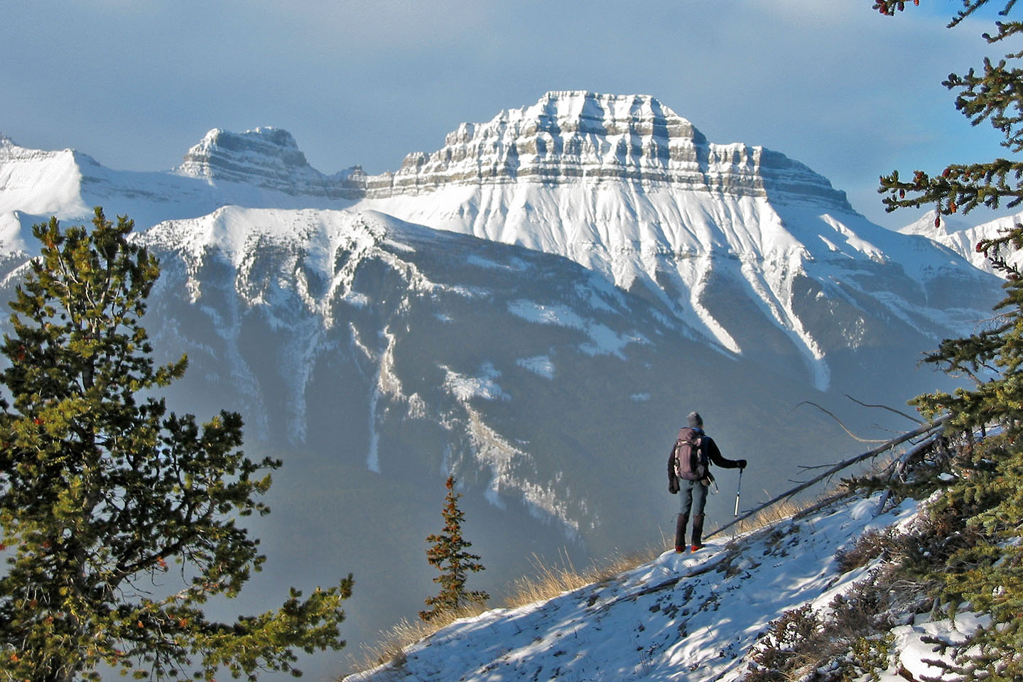
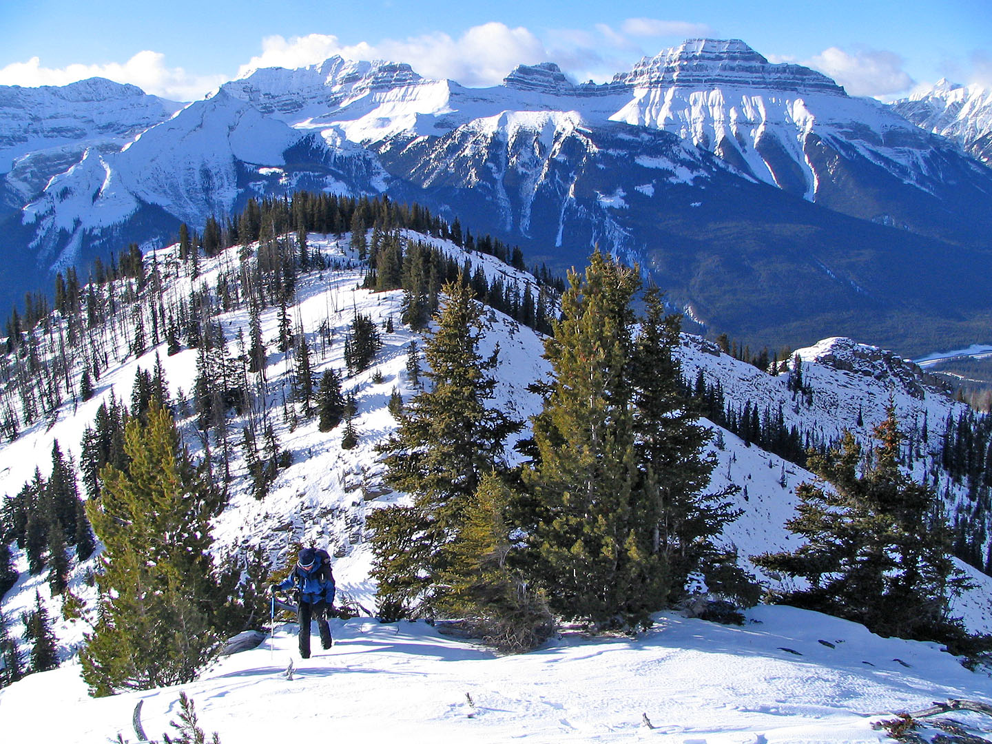
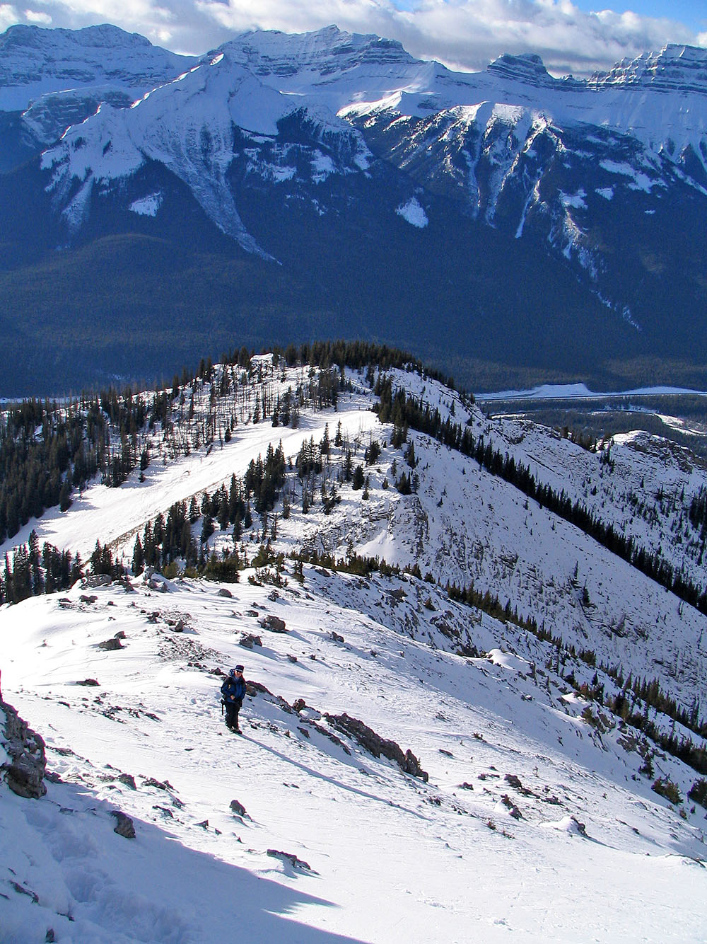
 Mount Cory from the top of Muleshoe Ridge
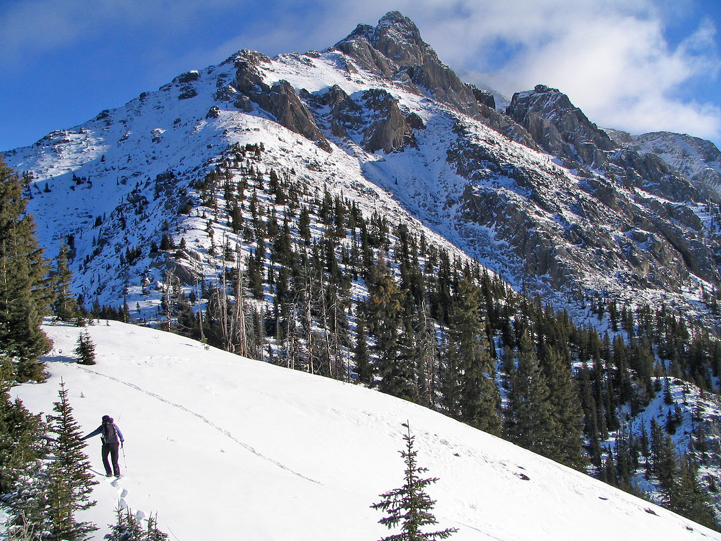
Eyeing the route up
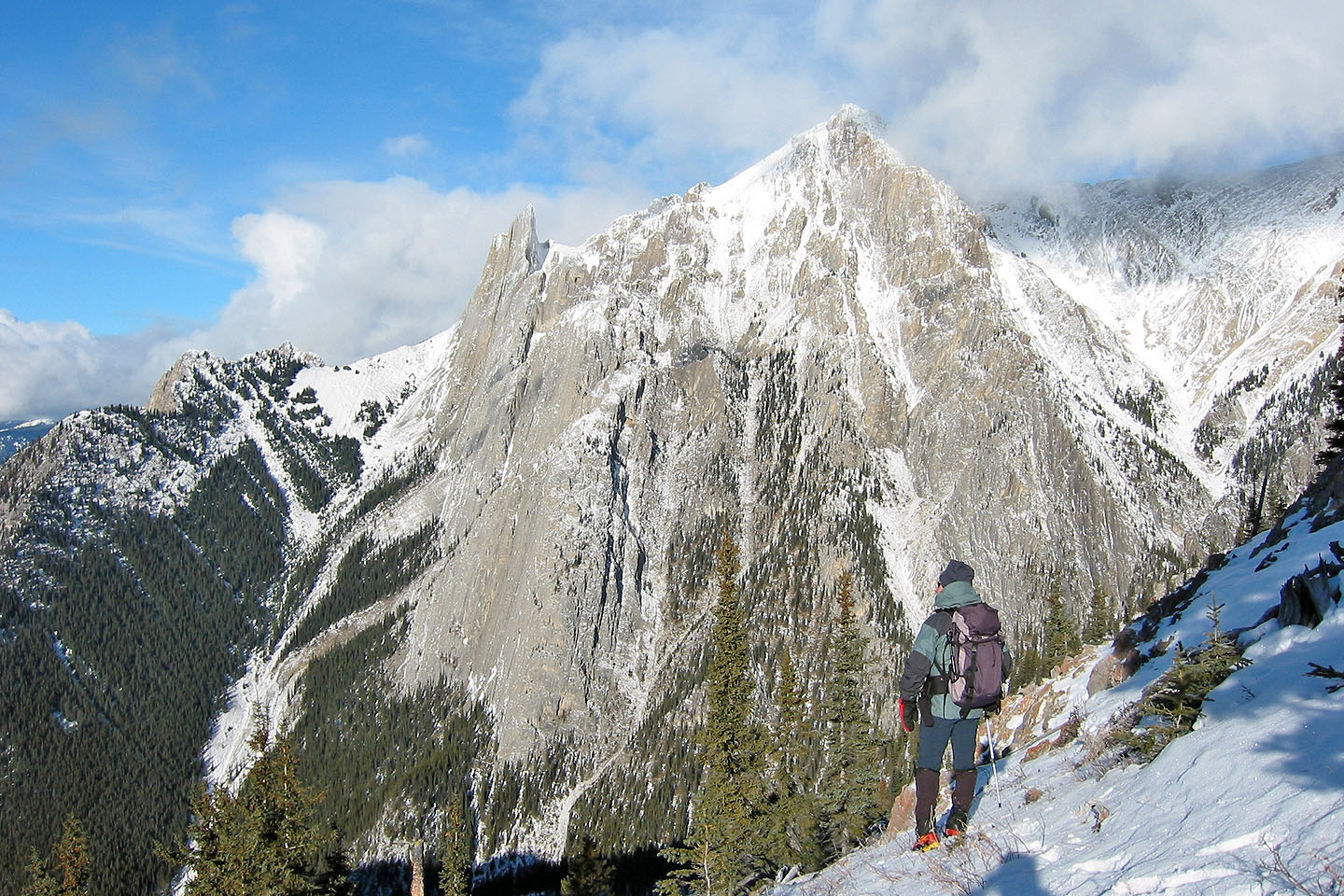
The Finger
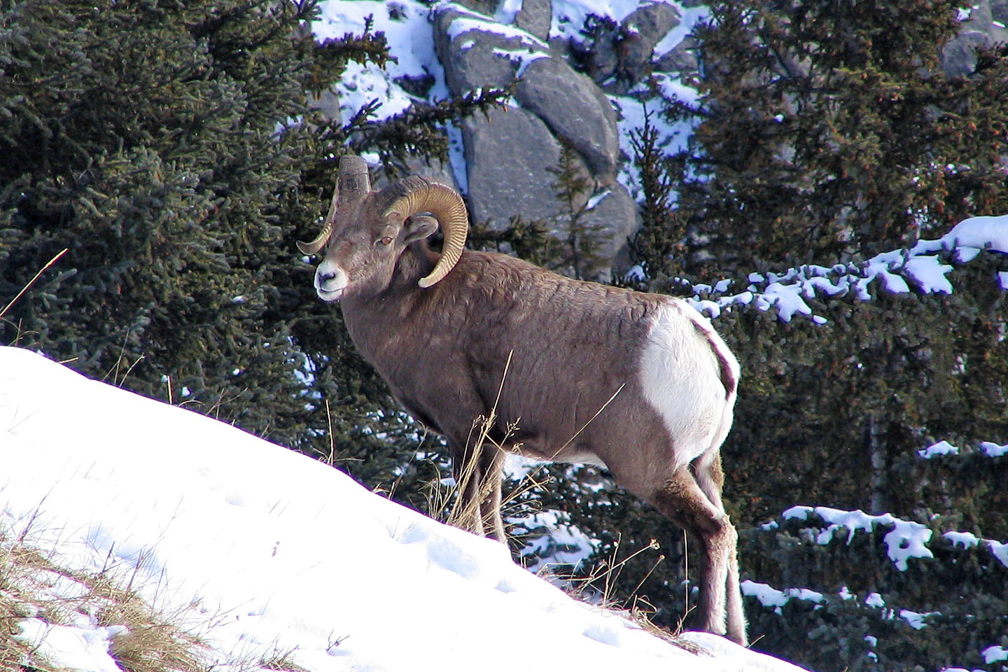
A mountain sheep below the col
Starting up Mount Cory with Muleshoe behind
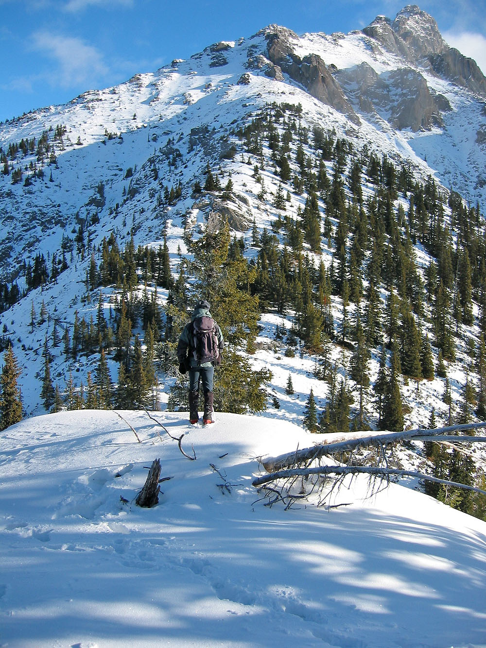
Looking back at the top of Muleshoe
Towering rocks ahead
Hiking up a steep, snow-covered slope
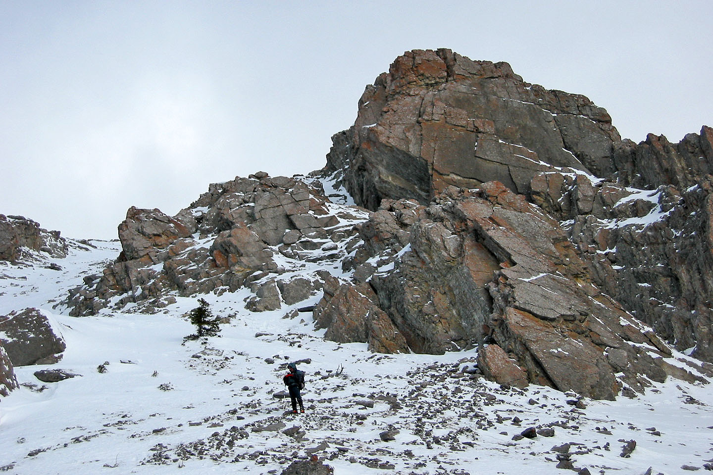
We bypassed cliffs easily by going left
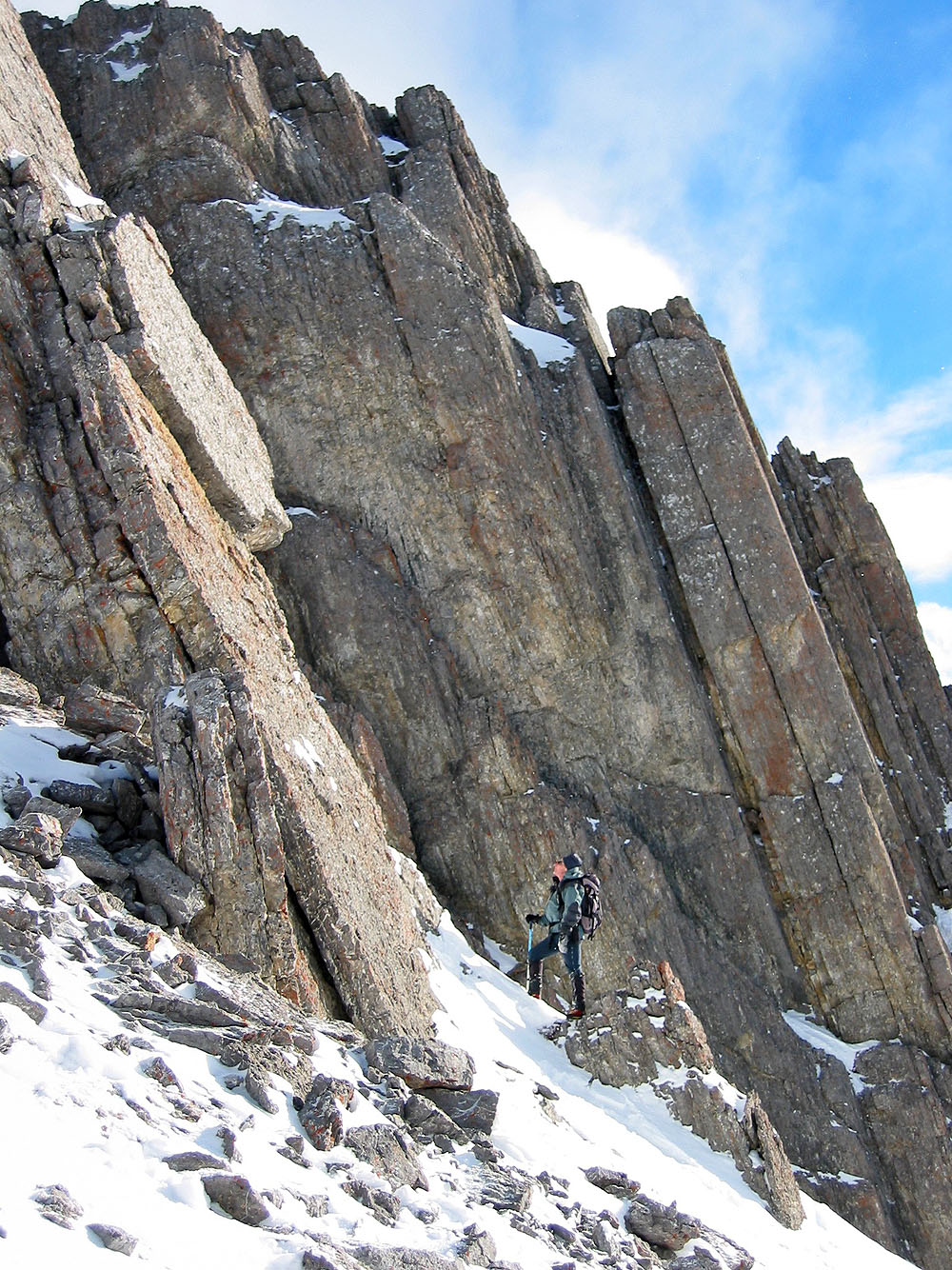
I was tempted to explore these cliffs!
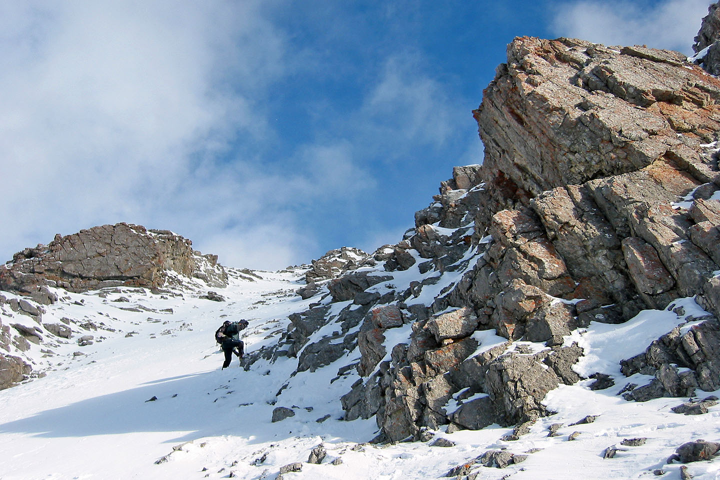
We turned back when it became too steep to climb without an ice axe
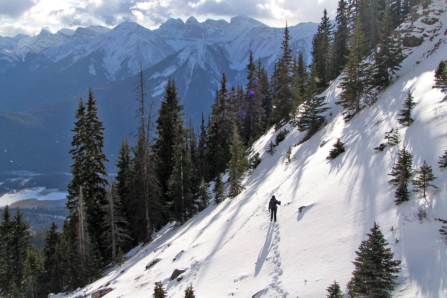
Dinah casts a long shadow as we headed back late in the day
82 O/4
Banff