bobspirko.ca | Home | Canada Trips | US Trips | Hiking | Snowshoeing | MAP | About
Gardner’s Ridge
Kananaskis, Alberta
January 14, 2012
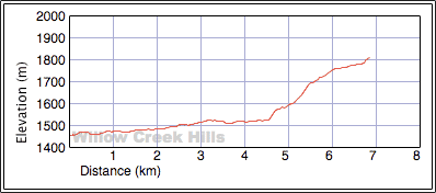
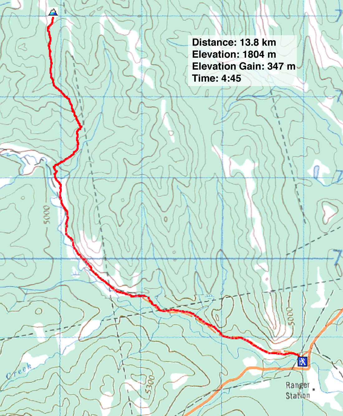
Distance: 13.8 km (8.6 mi)
Cumulative Elevation Gain: 372 m (1220 ft)
After a brief foray into Willow Creek Hills last week, Dinah and I wanted to return to hit higher ground with better views. The centre hill appeared to be our best bet. There are two higher points to the northwest in Willow Creek Hills, but these are some distance away and covered in trees. In comparison, the centre hill, Gardner's Ridge, is closer and the NTS map depicted a spacious, treeless summit.
Starting at the base of Indian Graves Ridge, we could walk up the exploration road for about four kilometres before turning off and hiking up a creek south of Gardner's Ridge. If we followed the creek, we would come to a north-south cutline that leads nearly to the top.
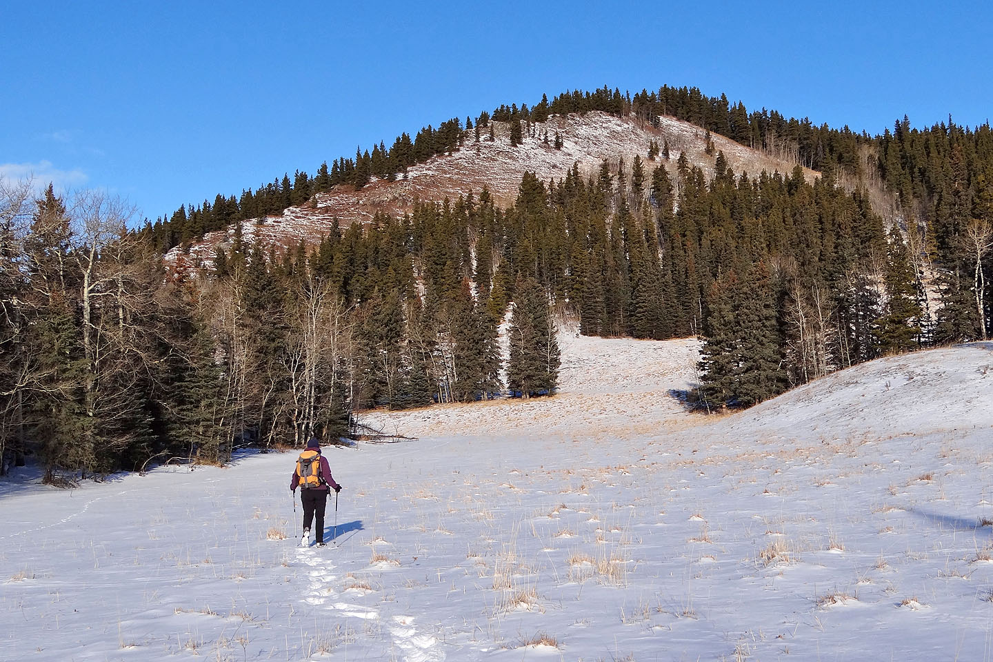
But we didn't stick with those plans. We hiked up the road – surprisingly pleasant where it cut high into an open slope – and then started up the creek. But we missed a fork in the creek that we should have taken. Fortunately too, for we realized later that the creek becomes rather steep-sided. Besides, we found a good east-west cutline that took us to a southern spur that, in turn, led to the summit. With little deadfall and understory, travel was easy up the wooded spur, so there was no need to take the north-south cutline. However, there was nothing to see but trees, trees, trees, and we looked forward to reaching the summit clearing.
On the summit, however, we were met with disappointment. The bare crown was just a few dozen metres across and ringed with trees. Views were restricted. Even so, being goal-oriented beings, we were glad to reach the top of something. And the outing gave me the idea to return to the area another day to climb a more promising point.
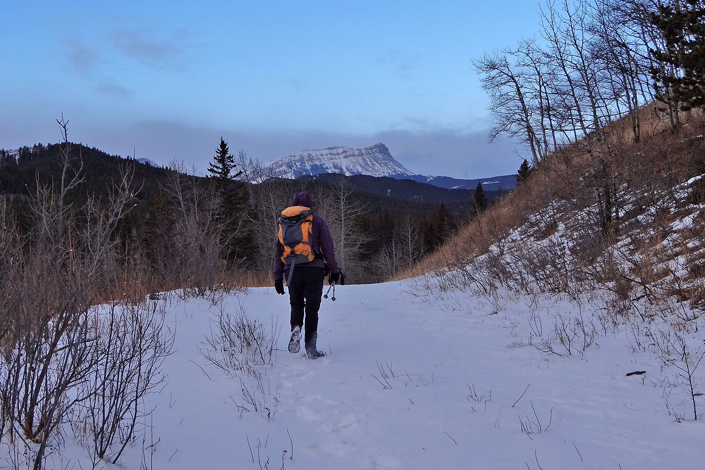
On the exploration road
Generous space along the road
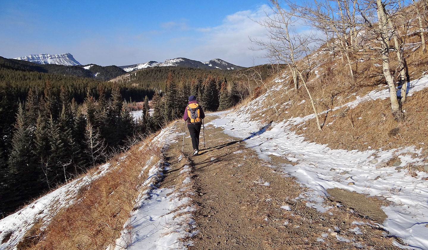
The road climbs providing some good views
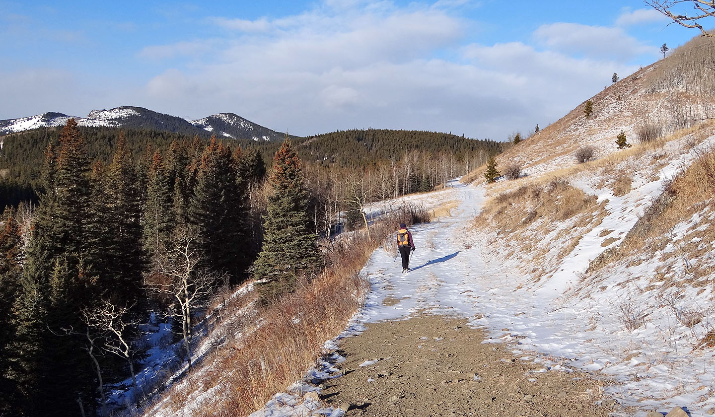
The open road stretches ahead
We pass a fenced-off section (mouse over to read the sign)
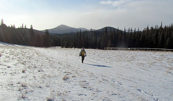
We'll soon leave the road and head right
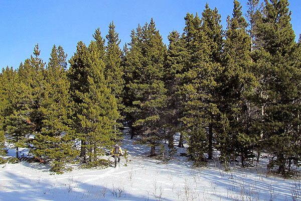
Entering the trees
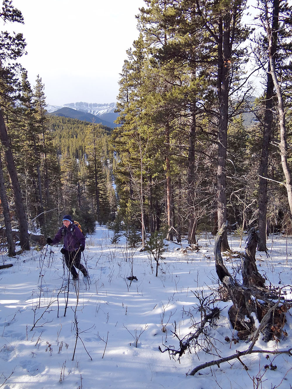
Hiking up the cutline
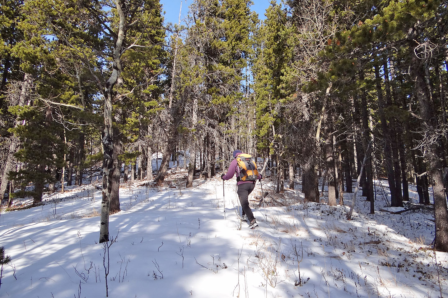
Travel was generally easy through the trees
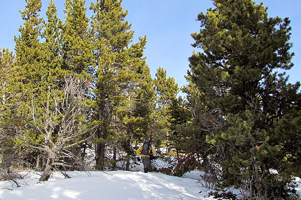
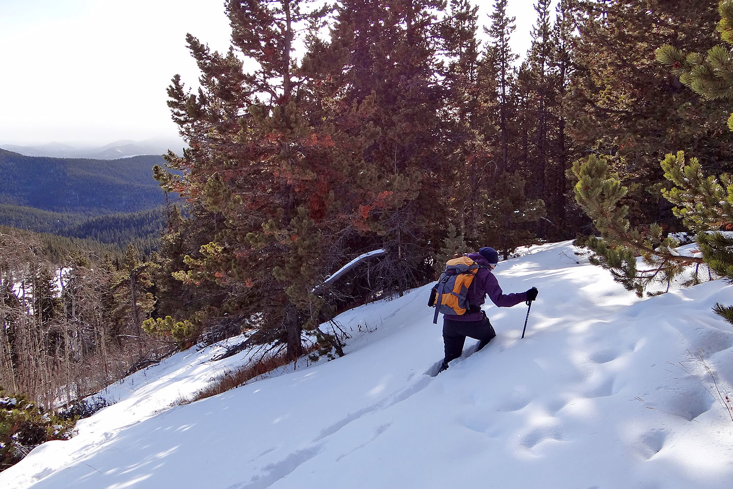
Nearing the summit
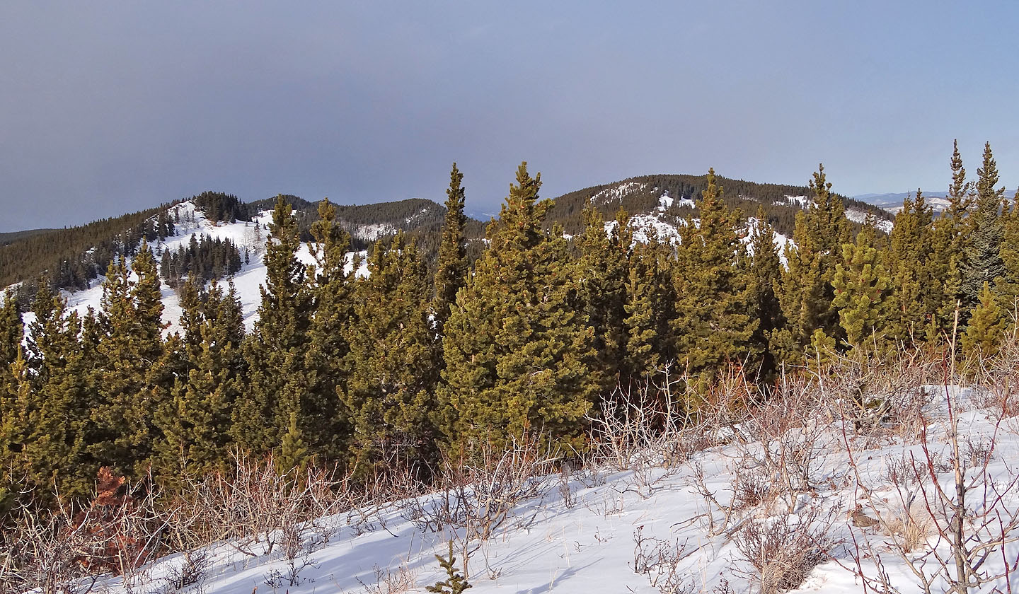
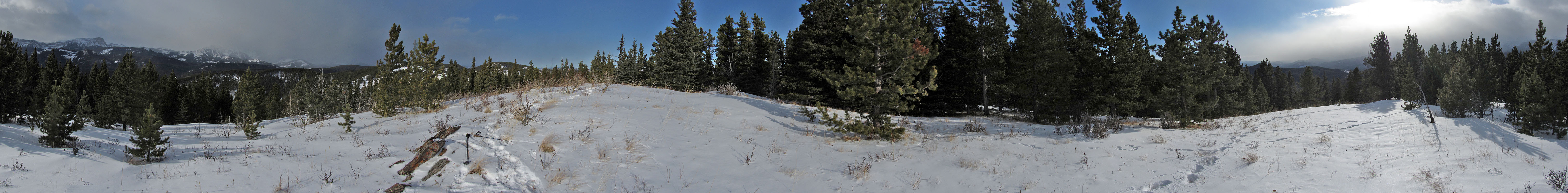
From the summit looking at the northwest arm of Willow Creek Hills. The highest point appears
to be second
bump from the right.
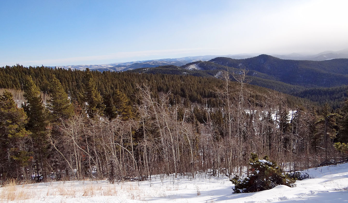
Looking southeast at the tree-covered bump right of centre that we climbed the previous week
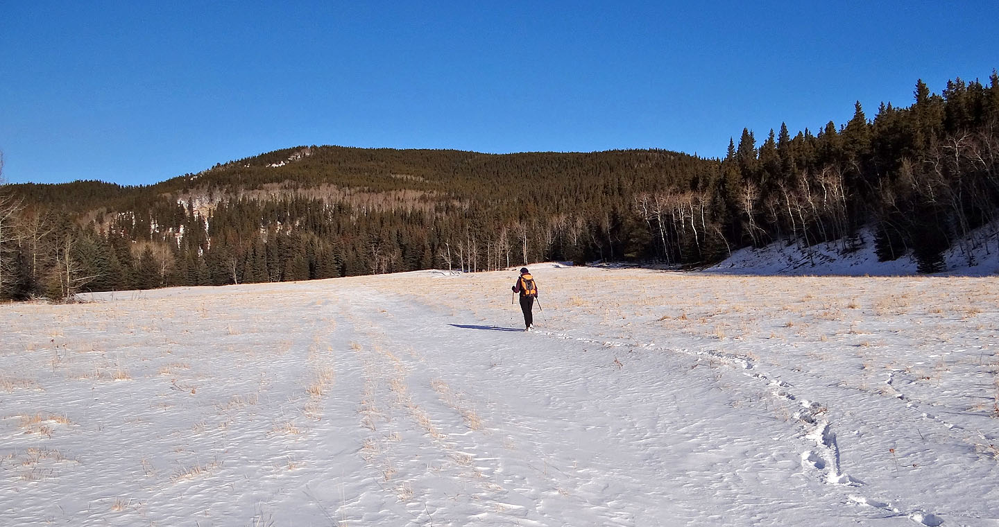
Dinah breaks trail here as we headed back
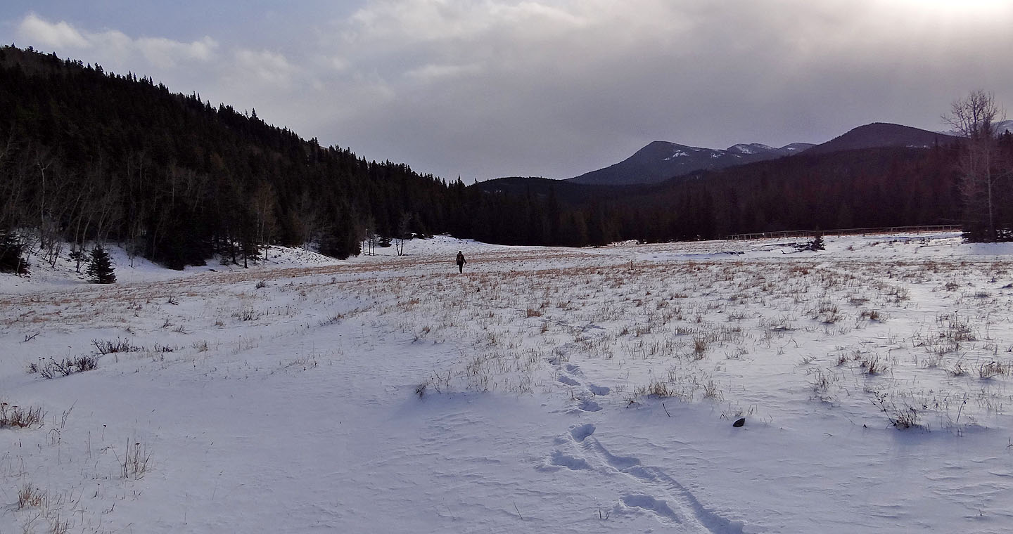
Heading back to the road
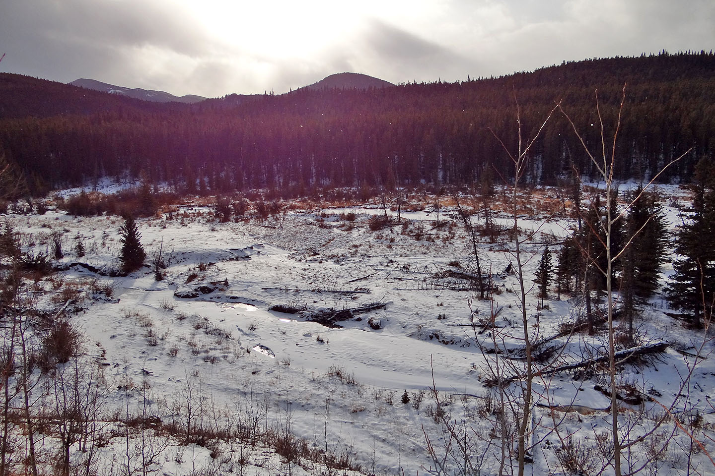
View of Willow Creek from the road
82 J/8 Stimson Creek, 82 J/1 Langford Creek