bobspirko.ca | Home | Canada Trips | US Trips | Hiking | Snowshoeing | MAP | About
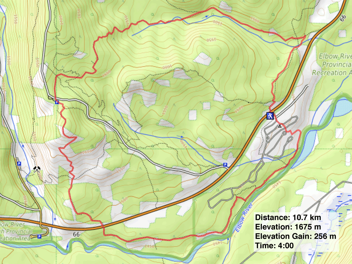
Sulphur Springs - Riverview Loop
Kananaskis, Alberta
January 21, 2022
Distance: 10.7 km (6.6 mi)
Cumulative Elevation Gain: 323 m (1060 ft)
In Kananaskis Country Trail Guide, Gillean calls Sulphur Springs trail “a classic spring tune-up,” but we got a head start by hiking it in the middle of winter. She suggests a counterclockwise loop that includes Elbow Valley, Sulphur Springs and Riverview trails. The route begins at Paddy's Flat, but since it was closed for the season, we parked along the road.
Winter hadn't deterred hikers from coming out, and the snow on the trail was mostly trampled down. Dinah and I followed Elbow Valley trail through the trees as it parallels Highway 66 before we turned onto Sulphur Springs trail. The trail barely rises as it follows alongside Sulphur Springs Creek, but after the creek disappears, the path ascends a forested slope in earnest. Only after the trail crosses Moose Mountain Road, do the trees loosen their grip to allow plenty of clearings. When we reached a large glade, we mistakenly continued straight ahead. But we soon realized we were on the wrong trail and cut across to get back on Sulphur Springs trail.
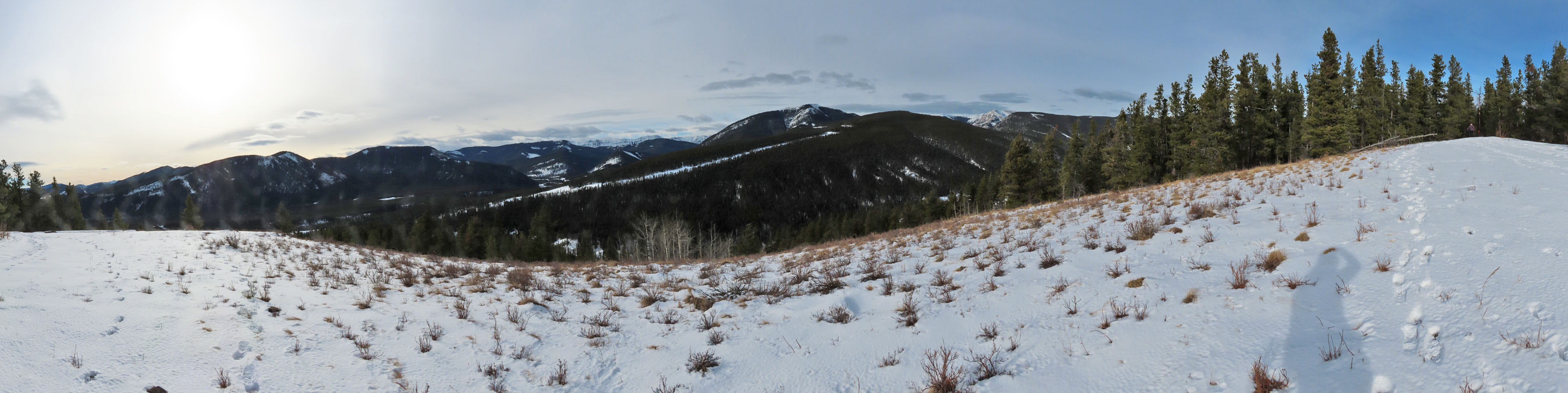
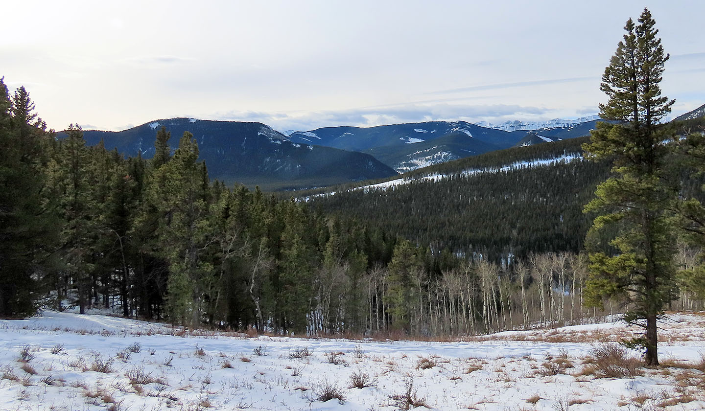
After hiking for two hours, we thankfully reached a viewpoint. The trail then descends through meadows to Highway 66. We crossed the highway and started down Riverview trail. The trail begins high above Elbow River, but after a couple of kilometres, there's an optional trail that drops down and runs alongside the riverbank. The trail continued to Paddy's Flat and our car.
We've often heard about Sulphurs Springs trail and Elbow Valley trail, but this is our first experience on them. And as a winter hike, it worked out fine.
Starting up Elbow Valley trail from the road
The snow was deep, but the trail was trampled down
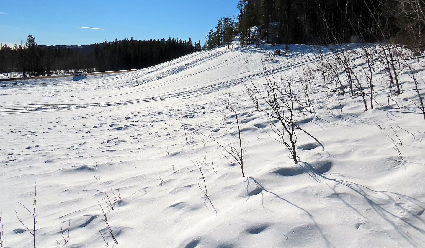
The trail passes a popular tobogganing hill
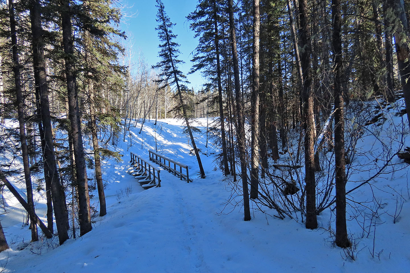
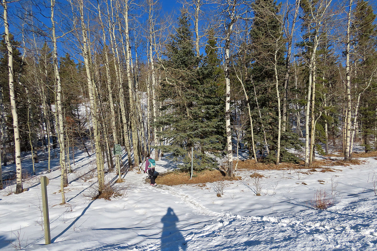
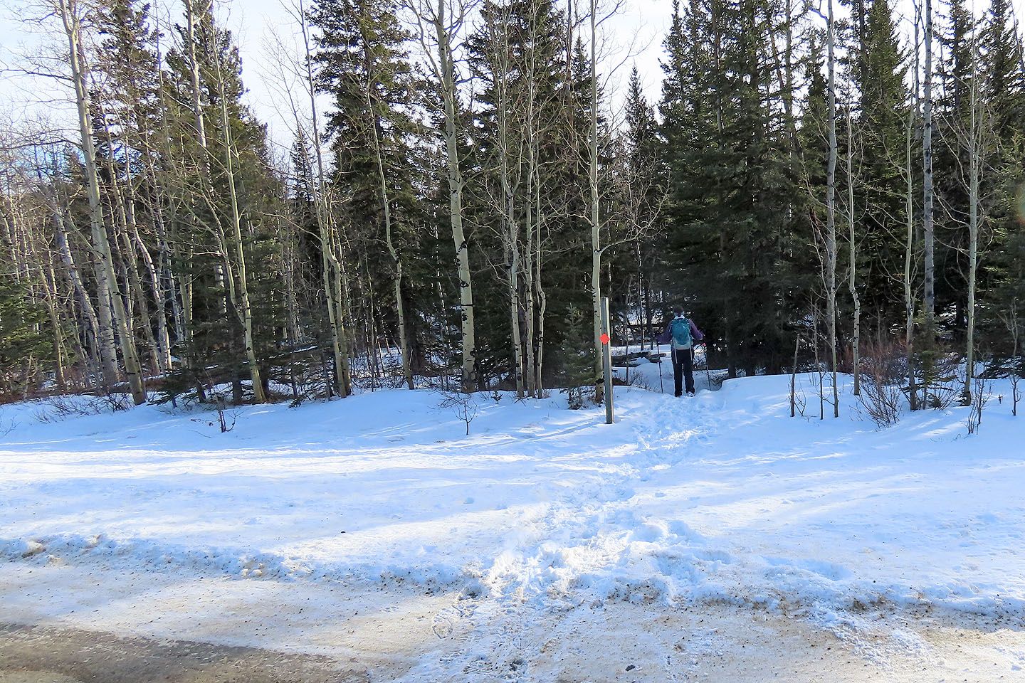
Sulphur Springs trail begins after the bridge

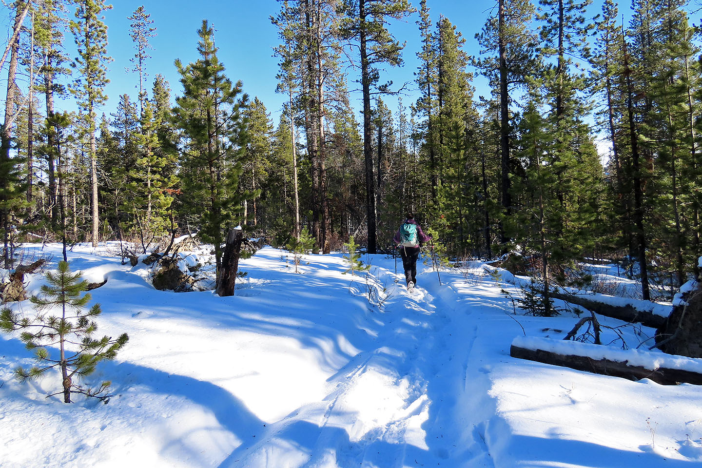
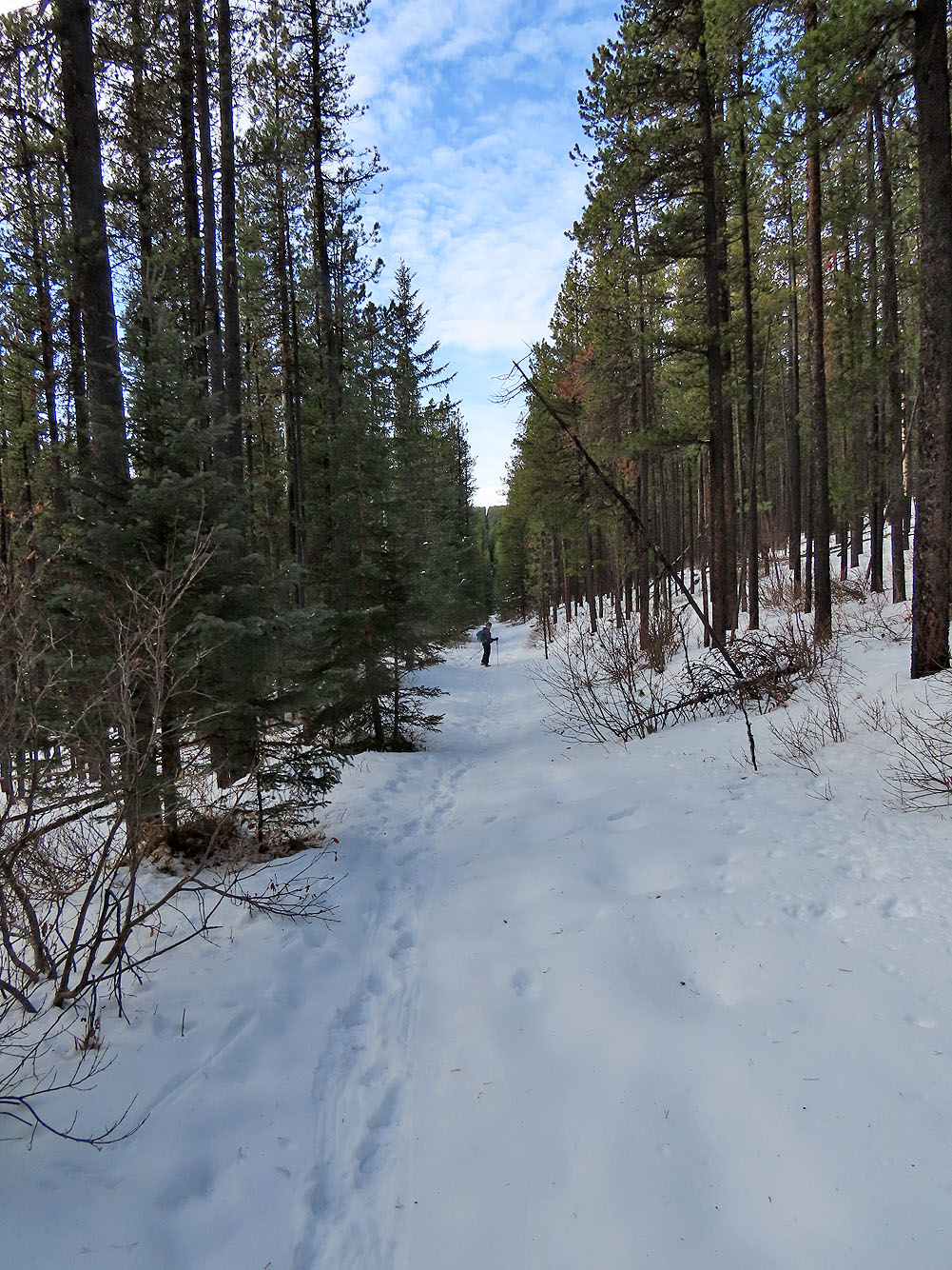
This trail hadn't seen hikers recently
The trail passes a clearing but there are no views
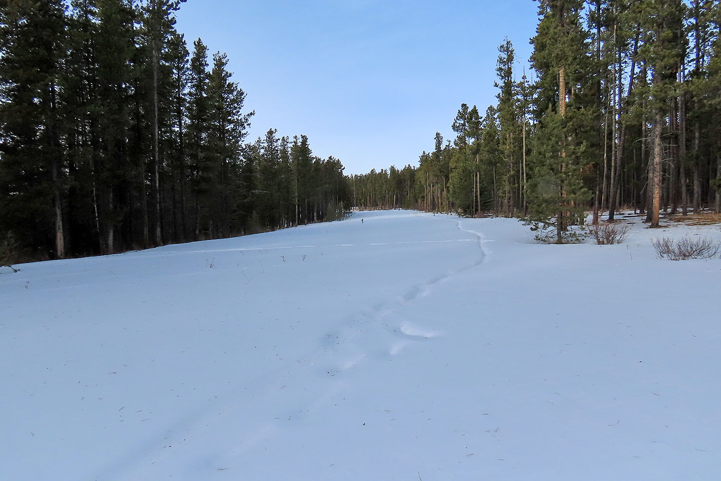
The trail follows a cutline for a couple of hundred metres
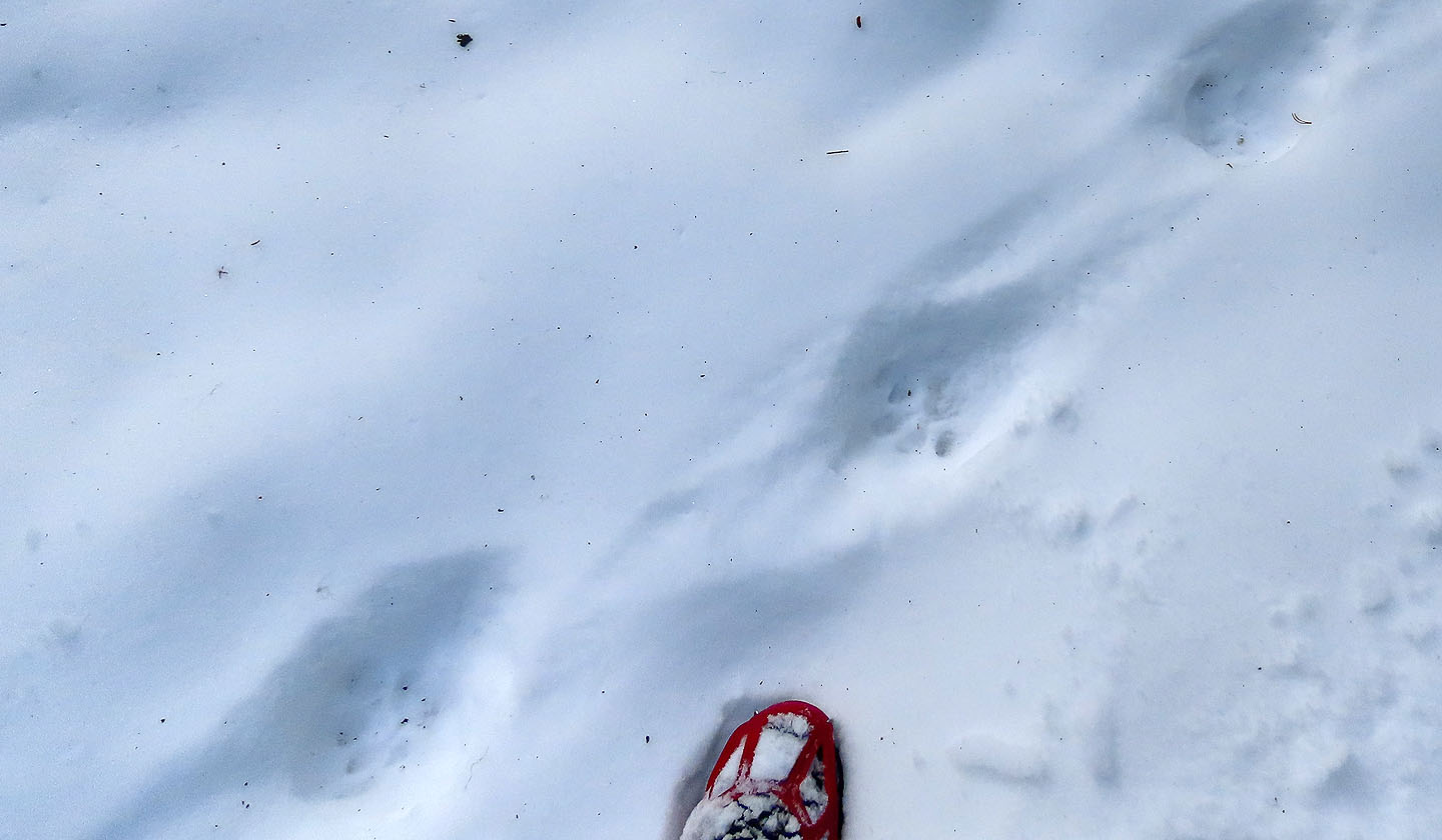
Cougar tracks I assume
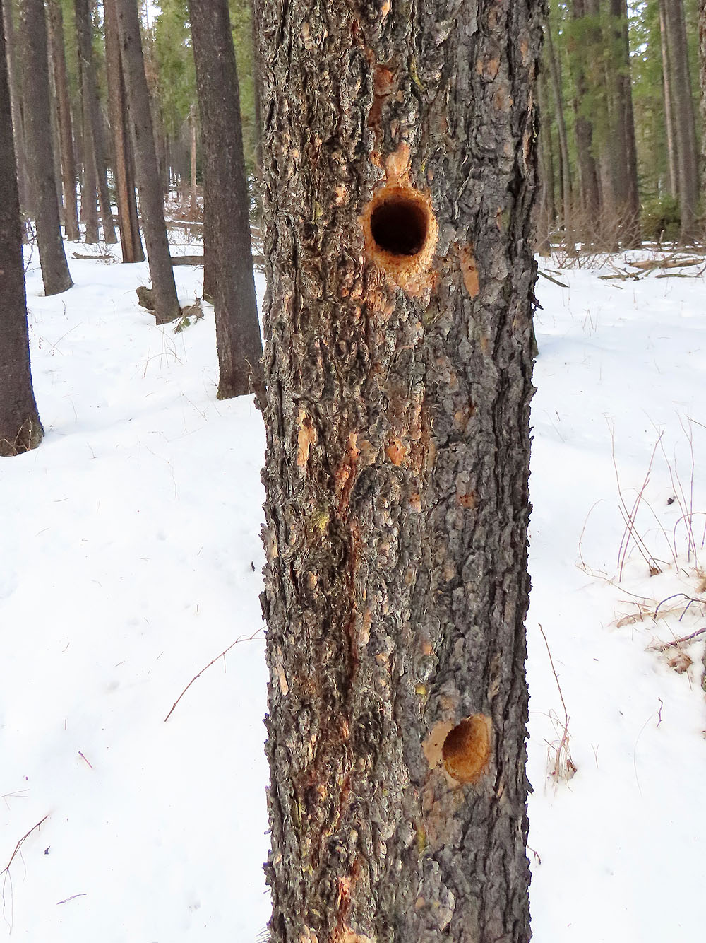
Woodpecker holes
The trail crosses the cutline
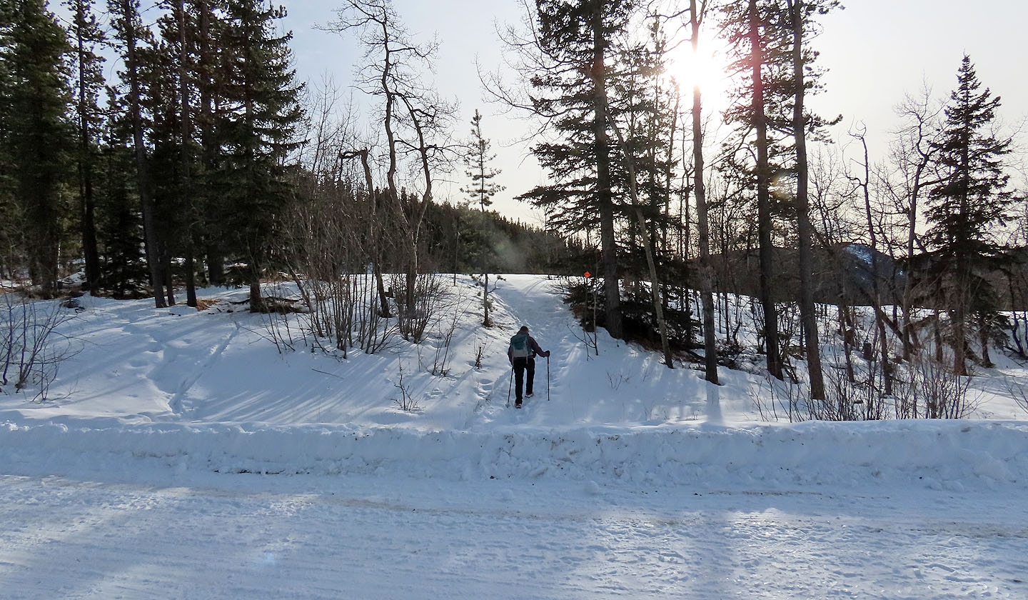
It also crosses Moose Mountain Road
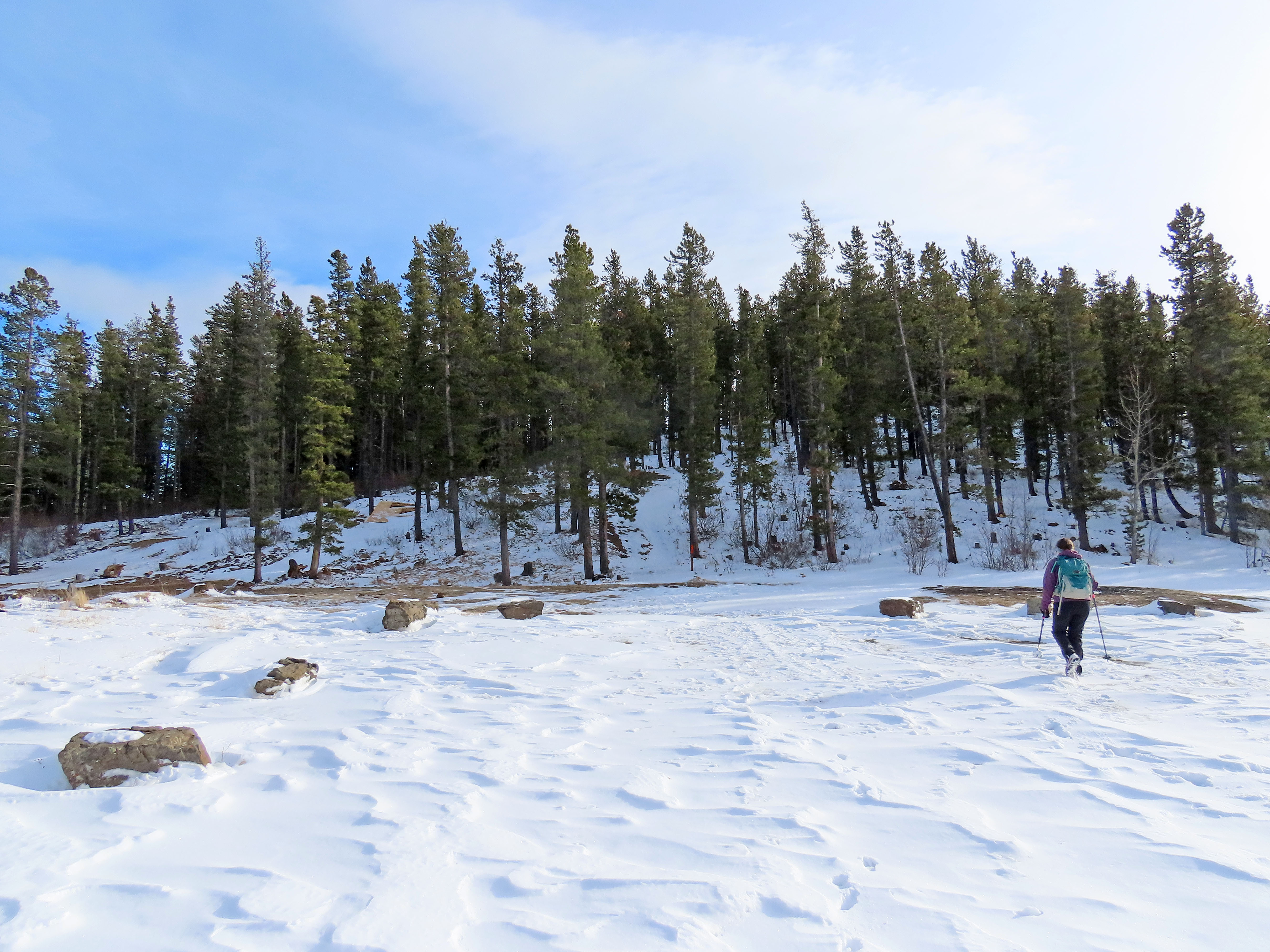
We mistakenly went straight ahead, but we soon ventured right to get back on Sulphur Springs trail
Getting back to Sulphur Springs trail
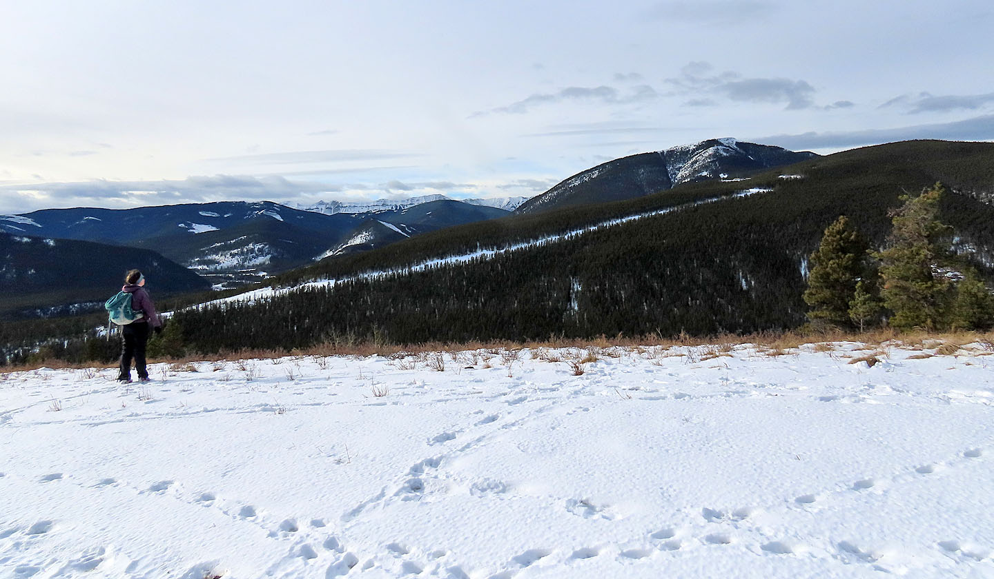
Dinah studies Prairie Mountain from Ward Neale Viewpoint
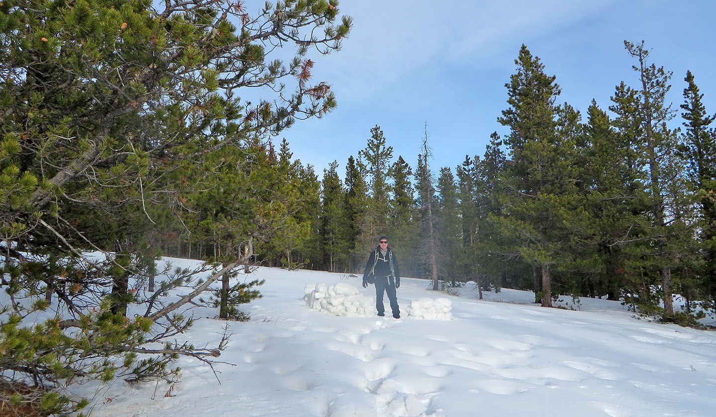
We found a snow shelter near the viewpoint
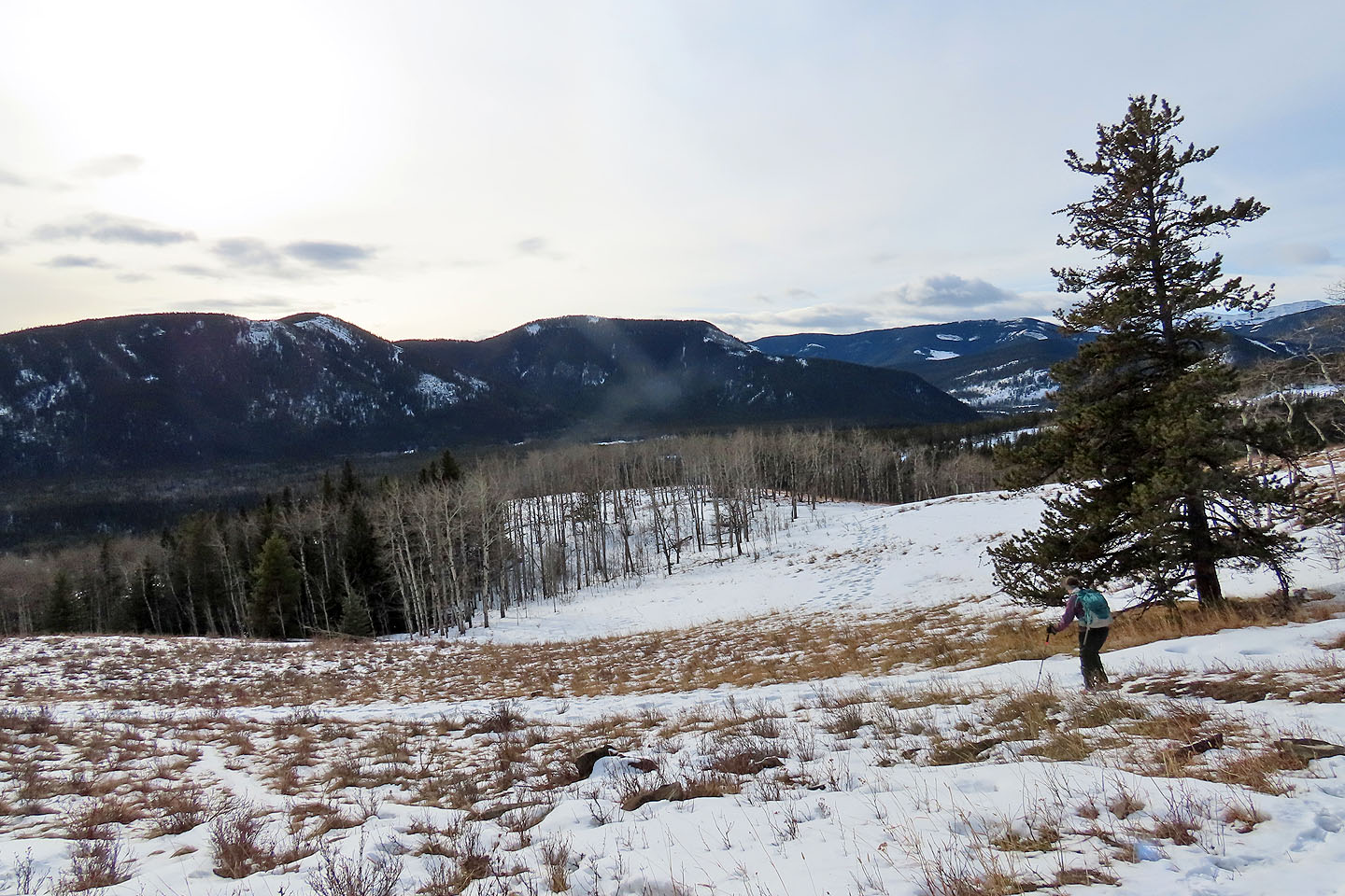
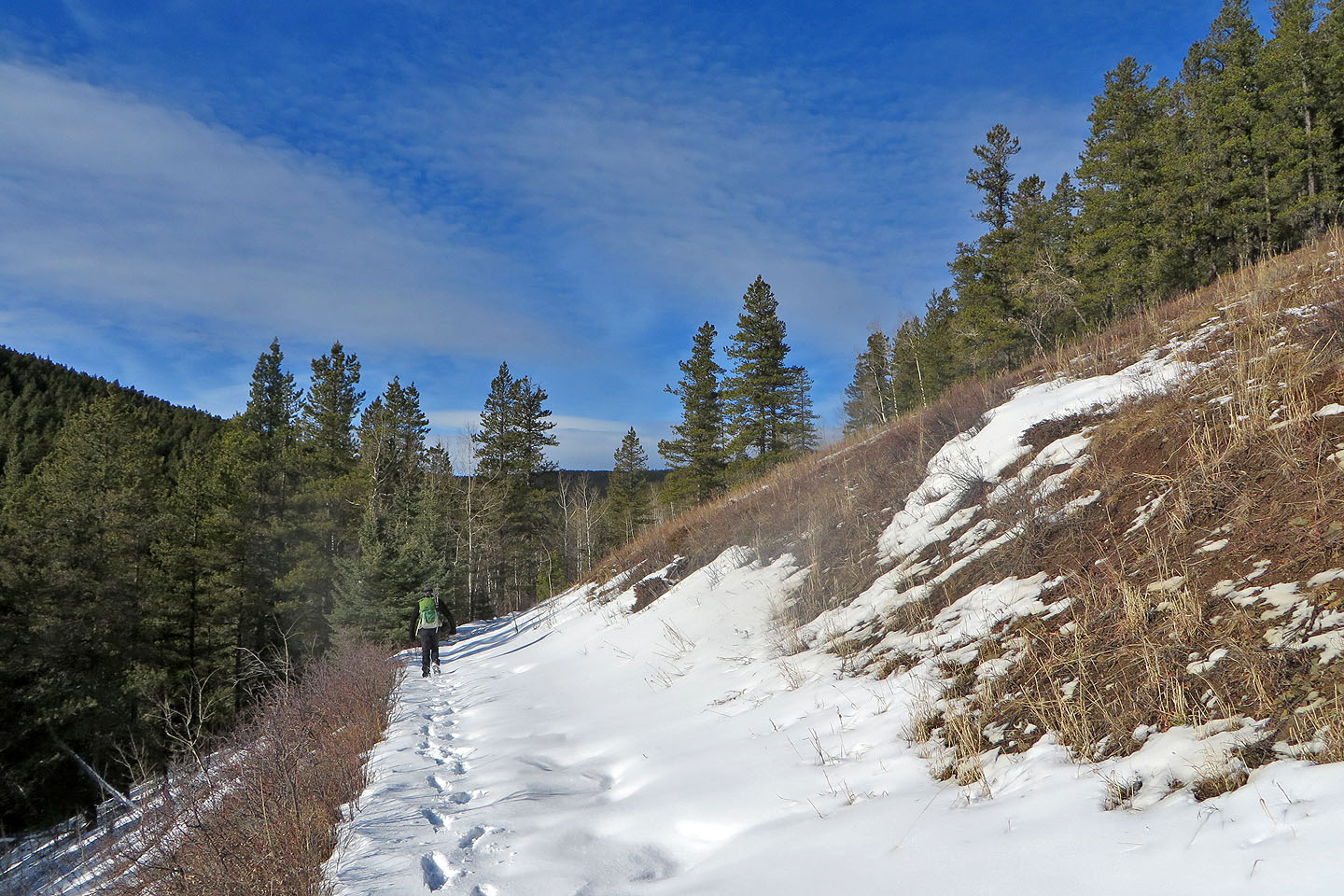
Much of the descent is through meadows
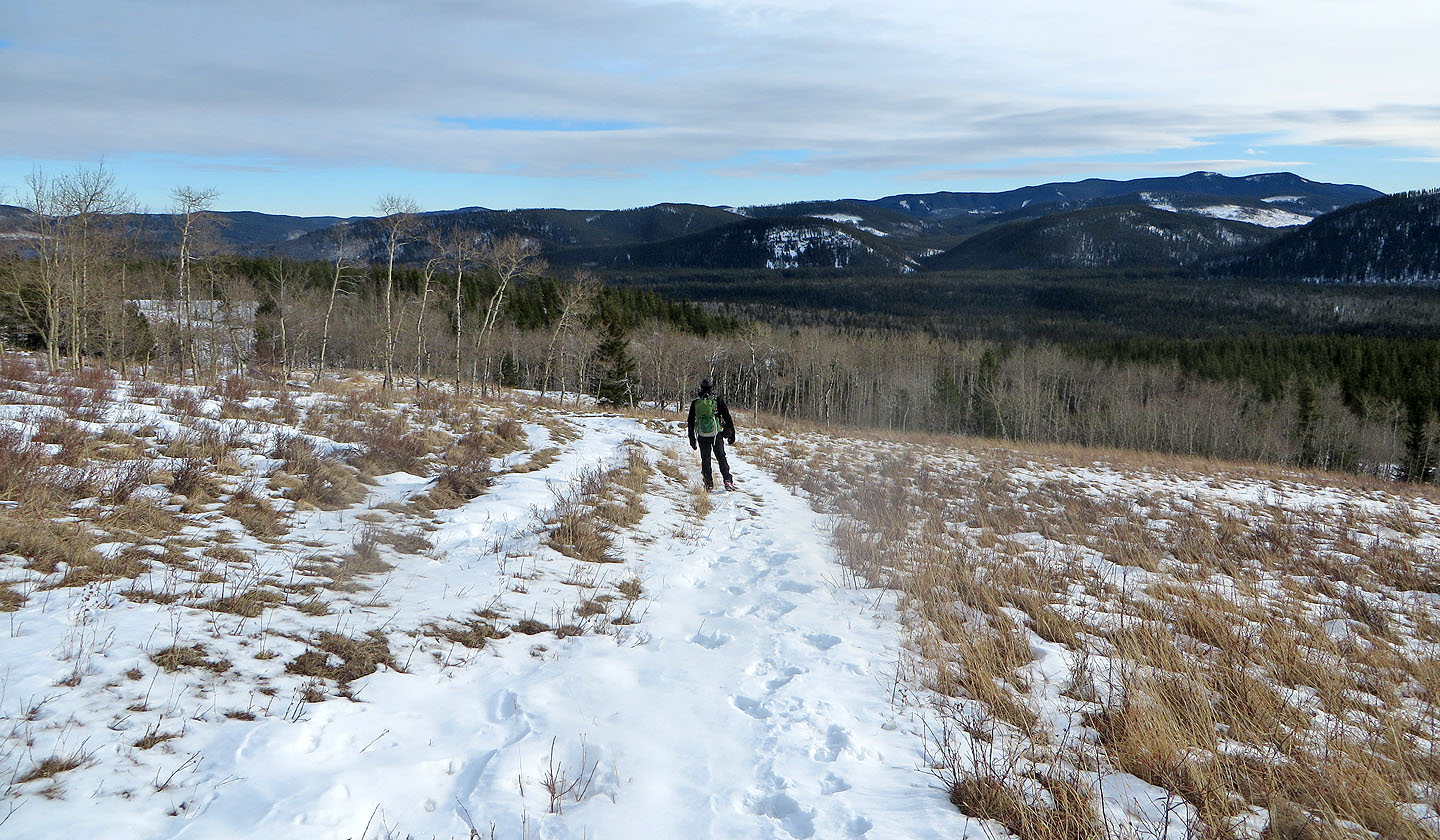
Continuing down Sulphur Springs trail
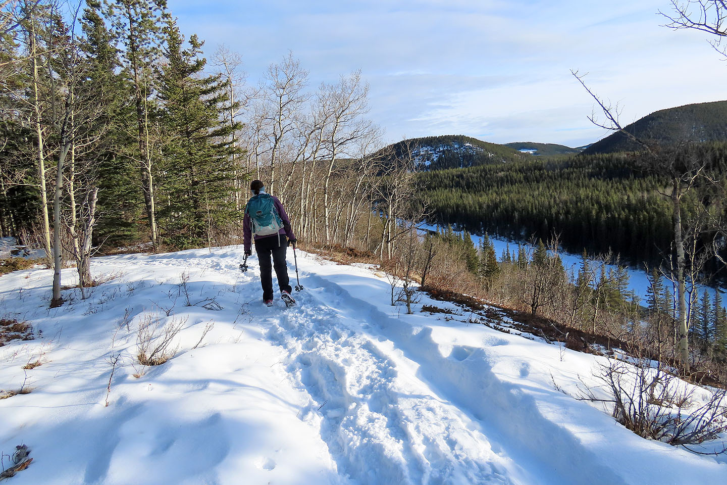
Starting on Riverview trail after crossing Highway 66
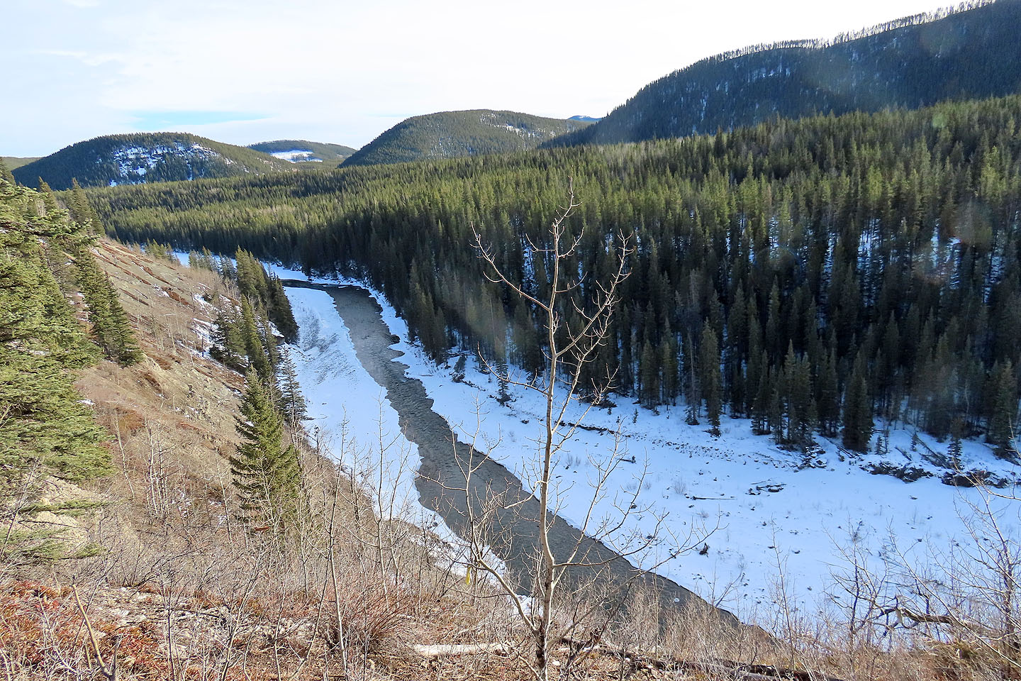
Elbow River
There are few places to see the river without trees blocking the view
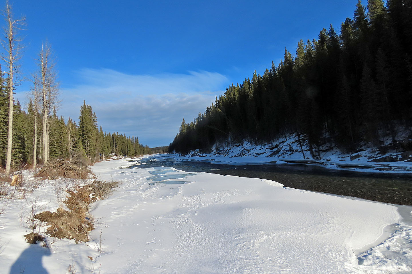
The trail drops down and runs along the bank
 82 G/15 Bragg Creek