bobspirko.ca | Home | Canada Trips | US Trips | Hiking | Snowshoeing | MAP | About

Strawberry Hills
Kananaskis, Alberta
February 19, 2012
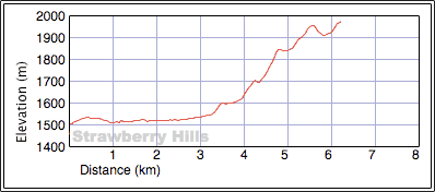
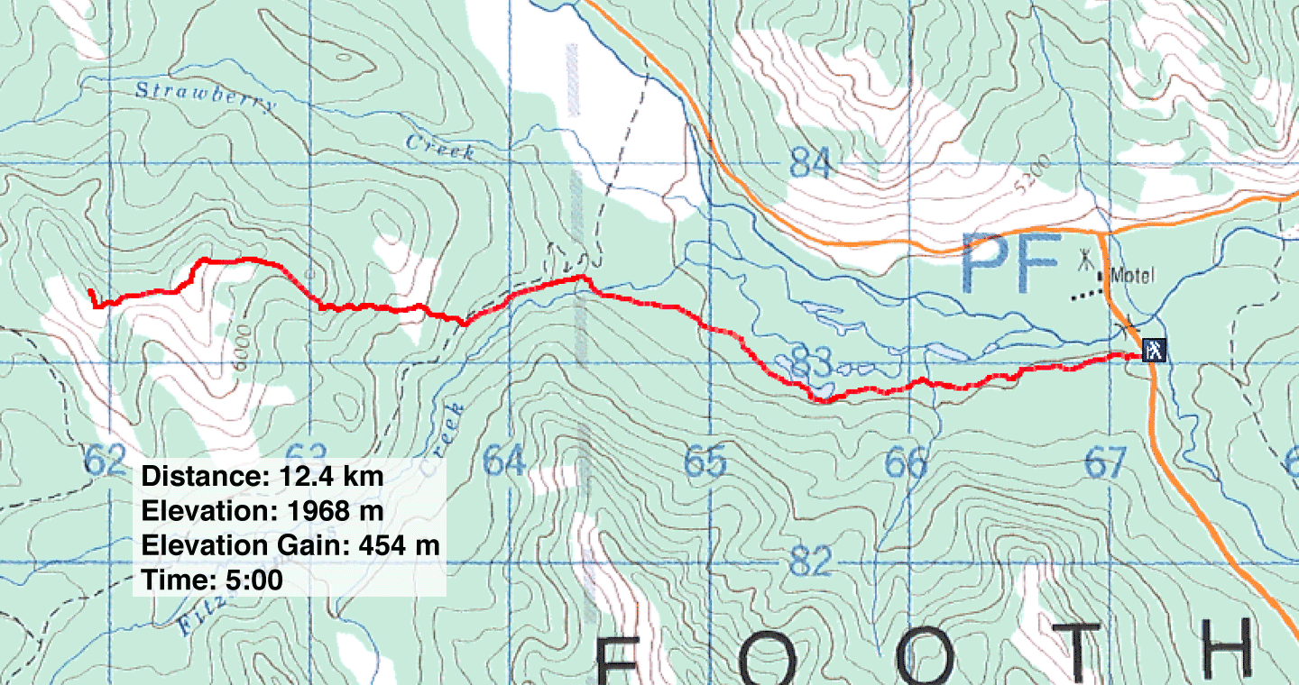
Distance: 12.4 km (7.7 mi)
Cumulative Elevation Gain: 589 m (1932 ft)
I always thought delicious-sounding Strawberry Hills would be a fine off-season objective. Nearby Raspberry Ridge is an enjoyable hike so I figured Strawberry would be just as sweet. However, the long approach to Strawberry appeared daunting, especially if there was any appreciable snow. So with no mind to ascend the Hills, I set out to reconnoitre the area and break a snowshoe trail to the base of the Hills. I could return another day and use my tracks to quickly reach the Hills.
But after starting up the Fitzsimmons Creek Trail, two things caused me to consider making the Hills themselves. First, the trail was packed down by snowmobiles: thoughtless riders had disregarded the “No Motorized Vehicles” sign at the trailhead. Second, there was less snow than I anticipated. I started snowshoeing up the trail, but after covering about a kilometre – to a point where I could see the partially bare slopes of Strawberry Hills – I ditched my snowshoes. I still expected to run into sections of deep snow, but I was willing to posthole through them.
I didn't set my sights on the highest point in Strawberry Hills, or even the second-highest. They were rather distant and undoubtedly required more postholing than I was capable of. Besides, the closer east hills – more like ridges – were much less wooded; they appeared both more appealing and practical for a winter ascent.
I could've followed the trail to the base of the ridge I wanted, but instead, I left the trail around the 5 km mark and struck out directly for my destination. Although this route would entail more ups and downs, not to mention more postholing, I'm sure it would offer more views than if I stayed on the trail in the trees. I crossed three ridges before reaching my highest point. Unfortunately, the weather deteriorated throughout the morning and it was lightly snowing by the time I reached the summit I had set out for. The views west were largely whited out, but I was able to take a panorama looking east. Although the weather was uncooperative, I enjoyed the serenity and isolation the area offered.
The return trip was uneventful. I crossed the three ridges and walked back along the trail. All was quiet and I was thankful that the roar of snowmobiles hadn't broken the tranquillity of Strawberry Hills.
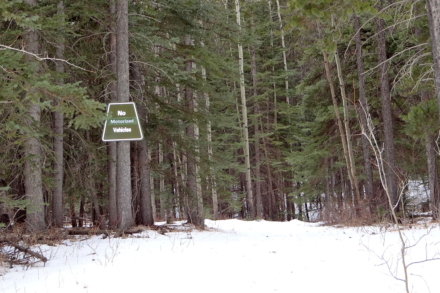
The trailhead
Snowmobile tracks covered the trail
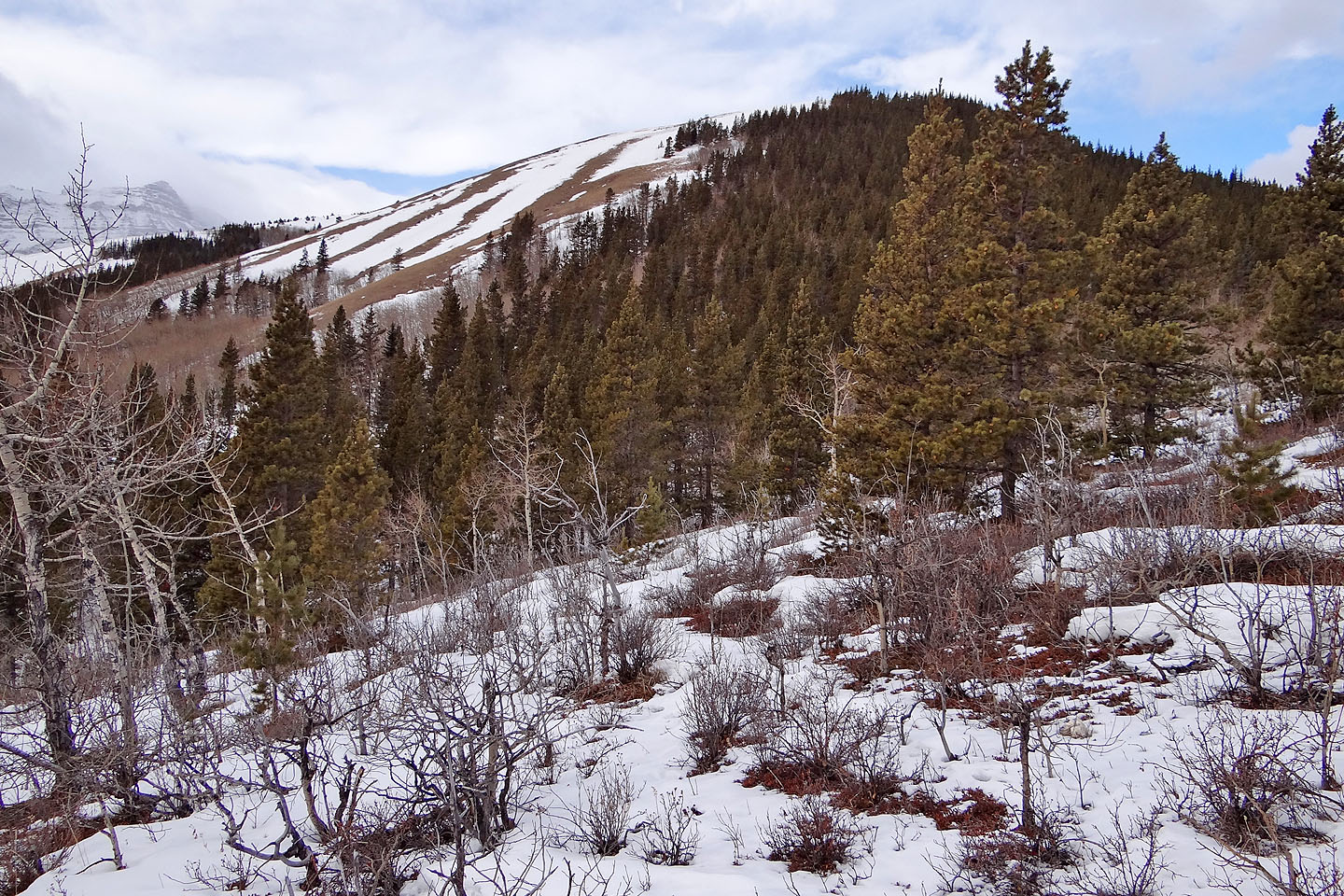
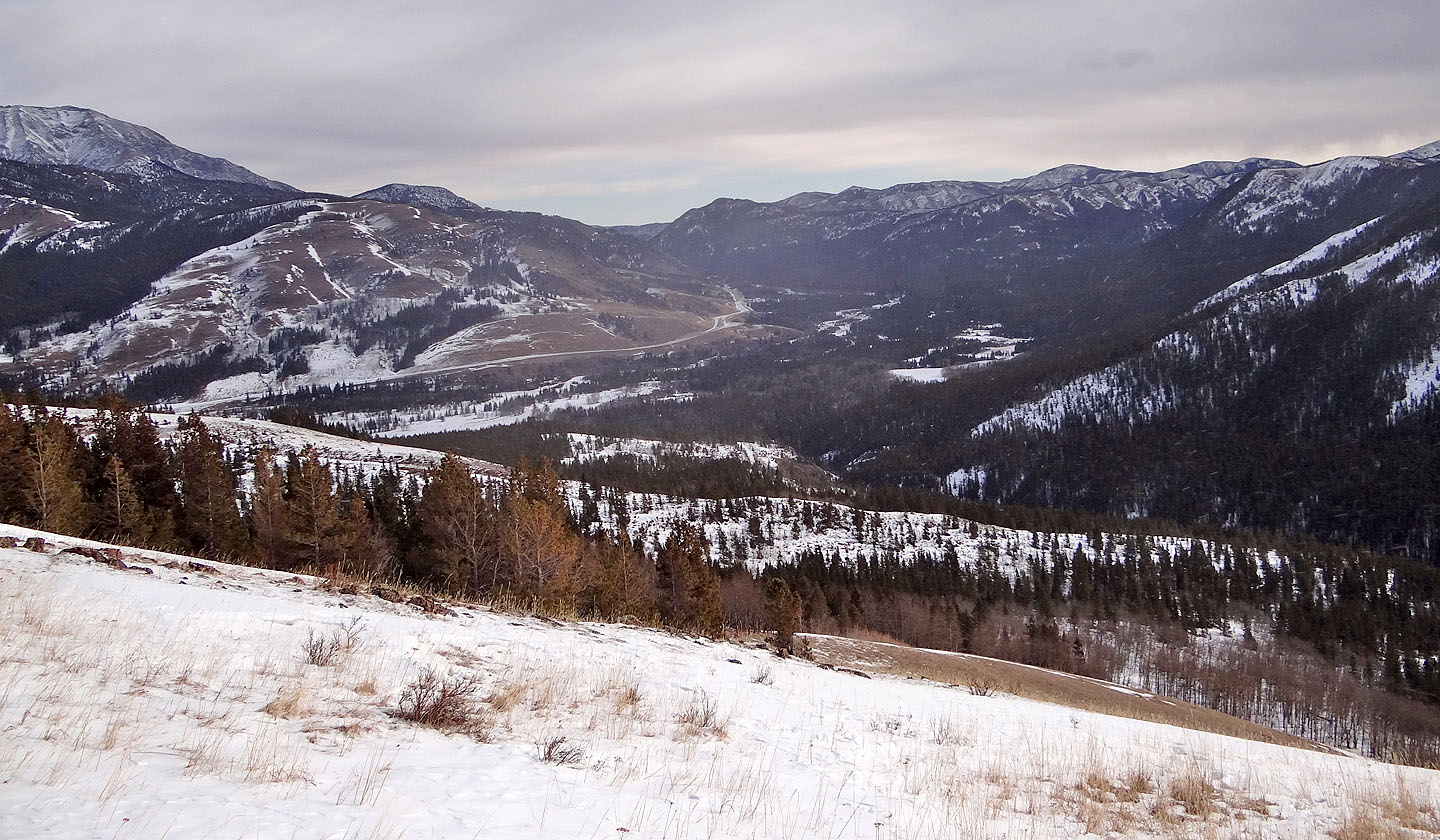
My first look at Strawberry Hills showed bare patches (mouse over for a close-up)

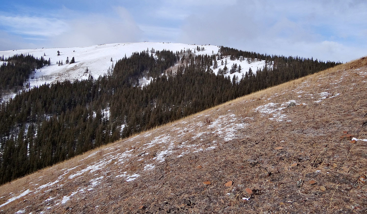
Junction Hill
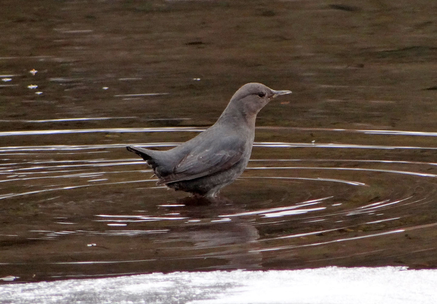
American dipper – easily recognized because it constantly dips up and down on its legs
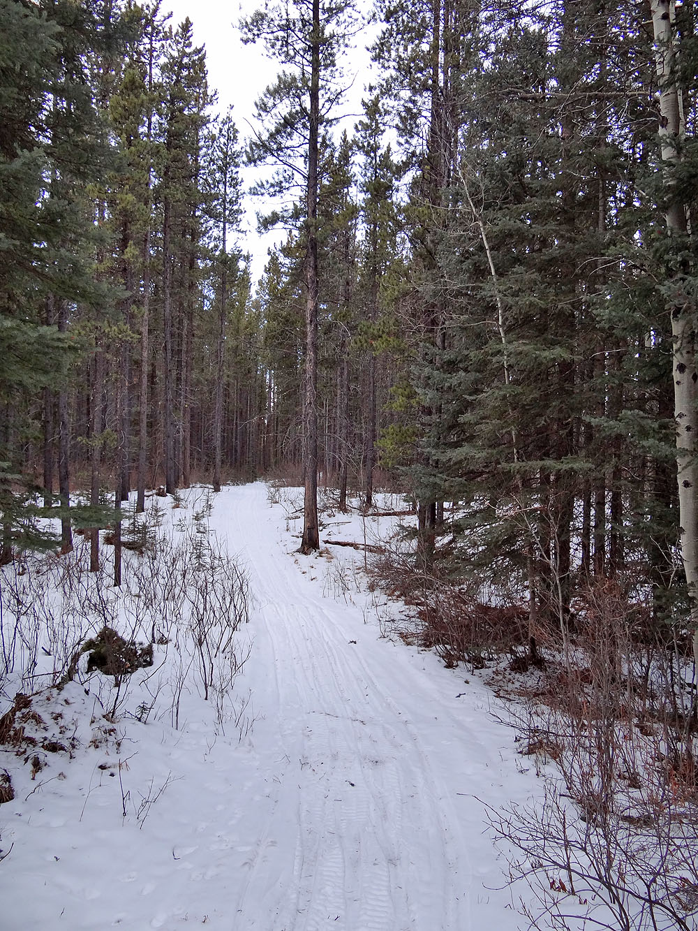
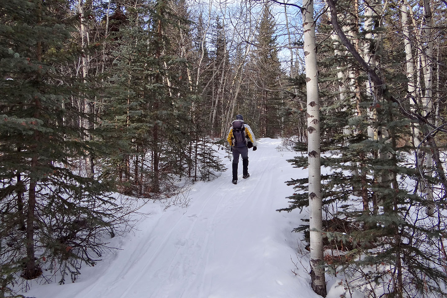
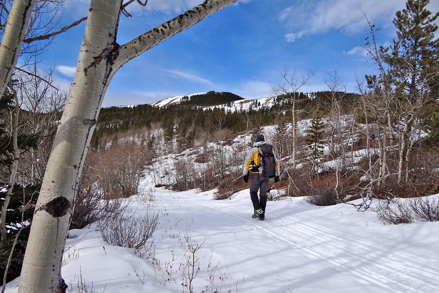
On the trail
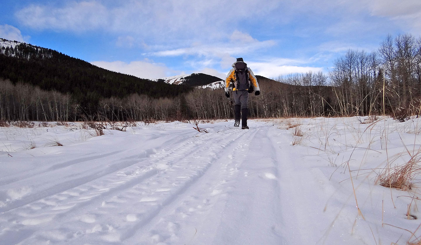
The hard-packed snow allowed me to travel quickly
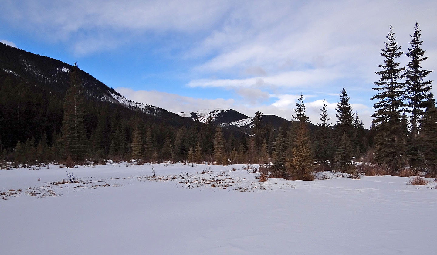
View from a rise. Mount Armstrong on the left.
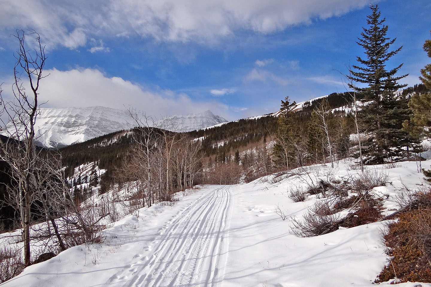
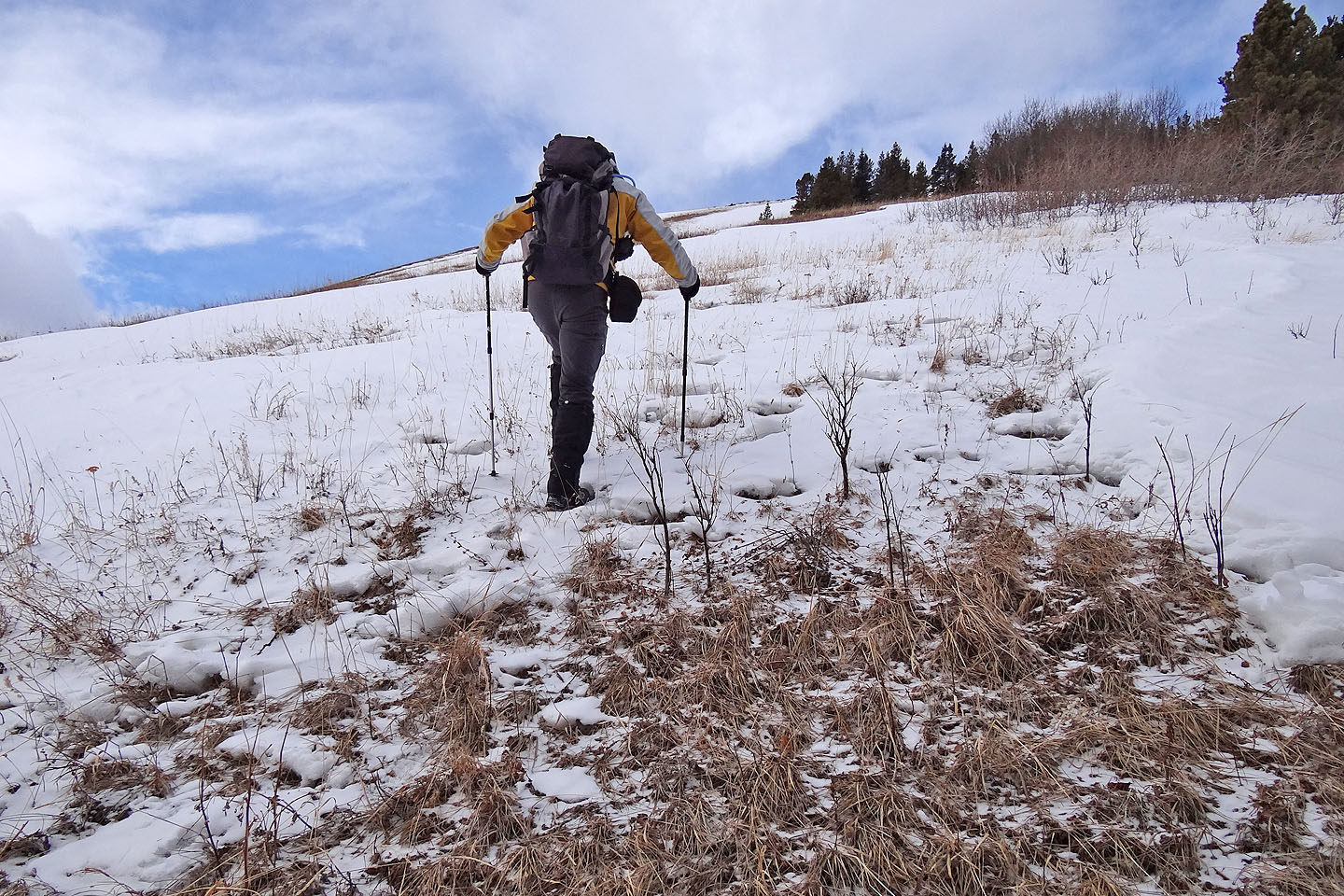
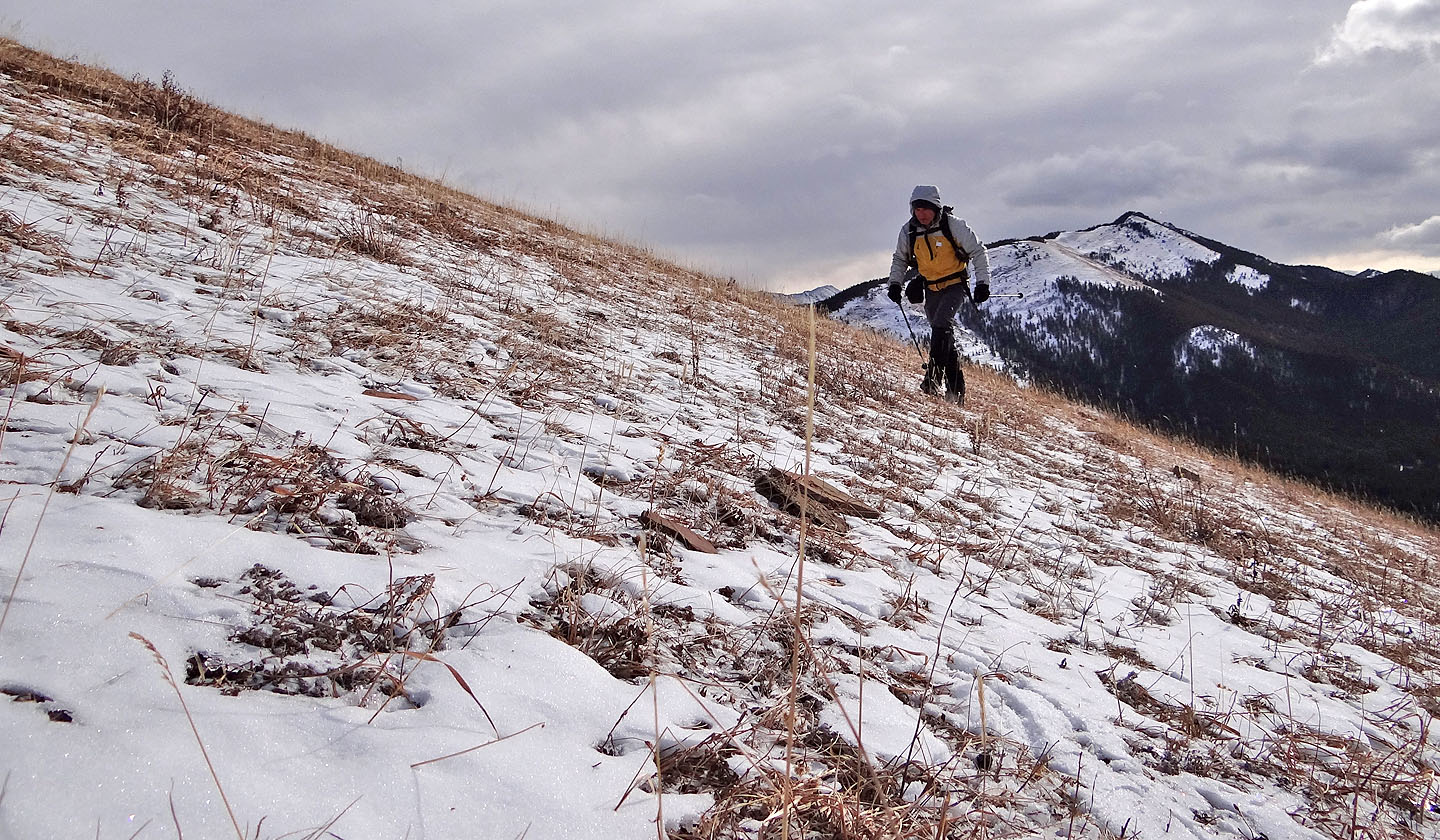
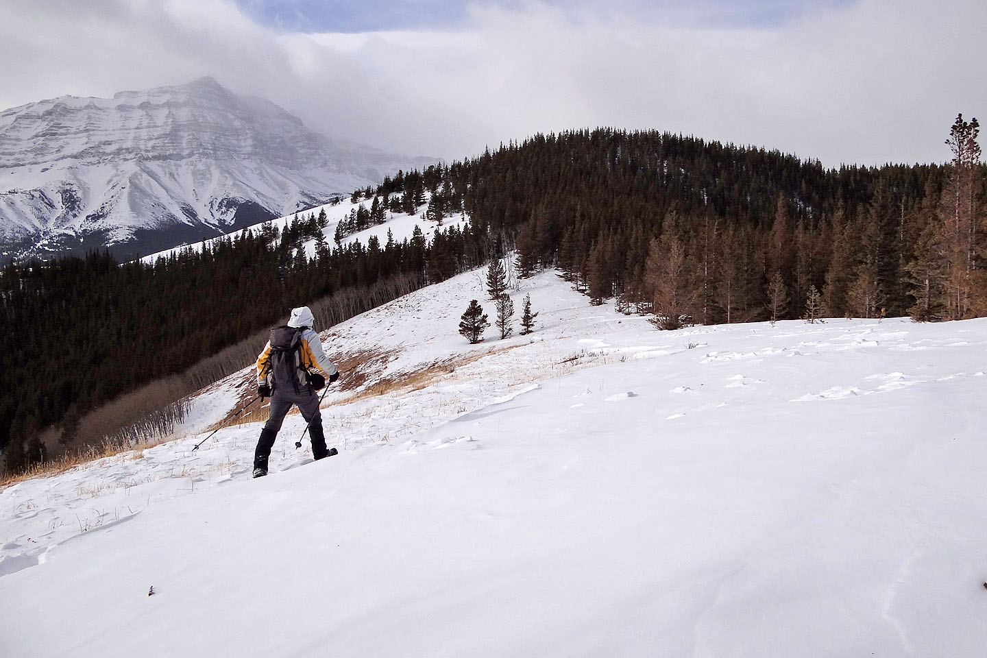
I'll soon leave the trail and head for the first open ridge
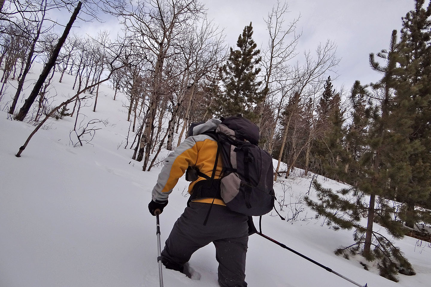
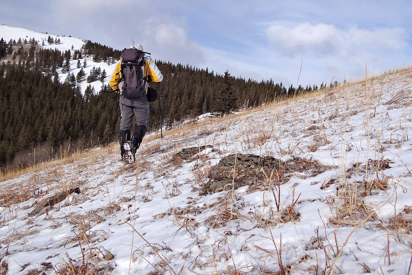
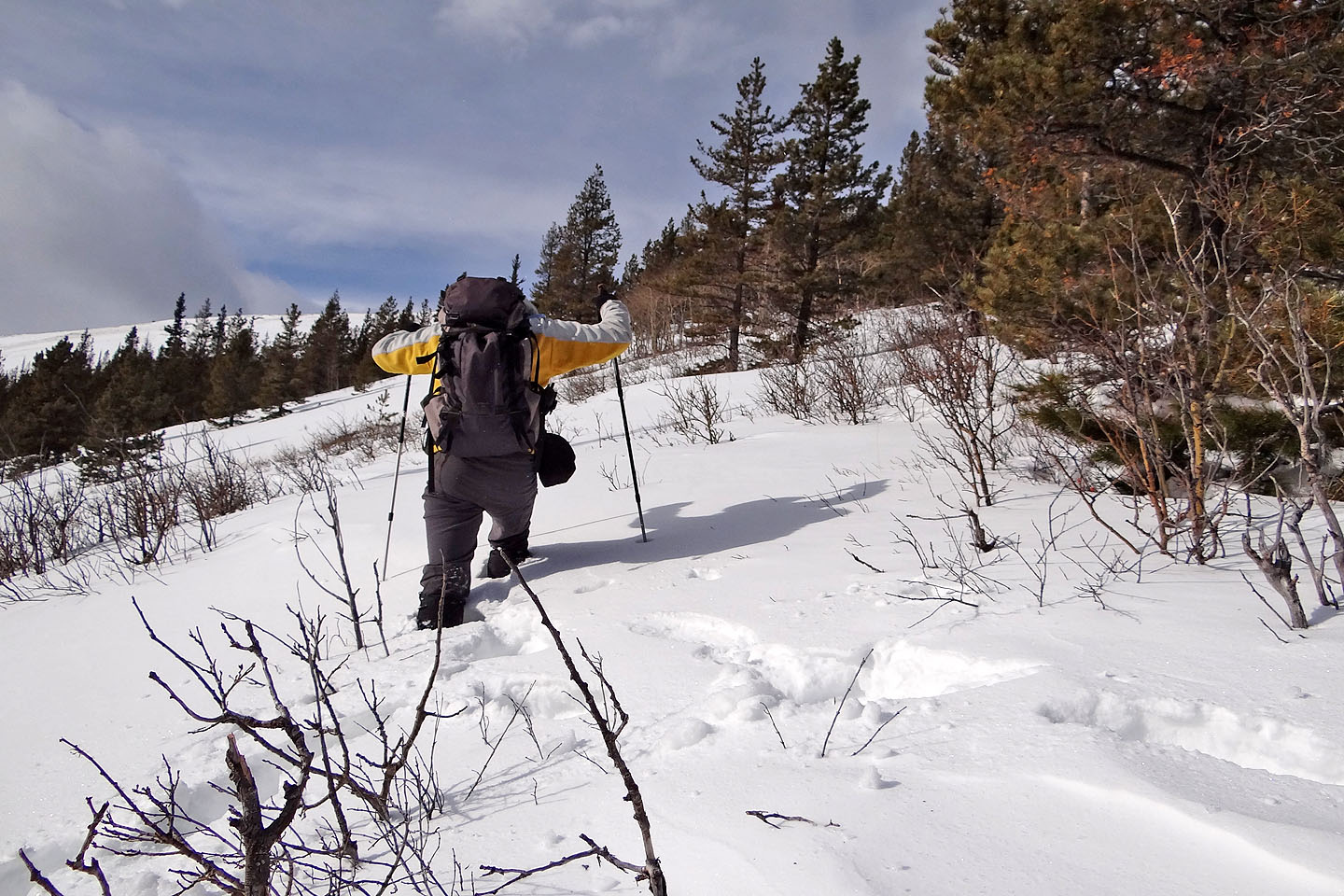
Knee-deep in snow after leaving the trail
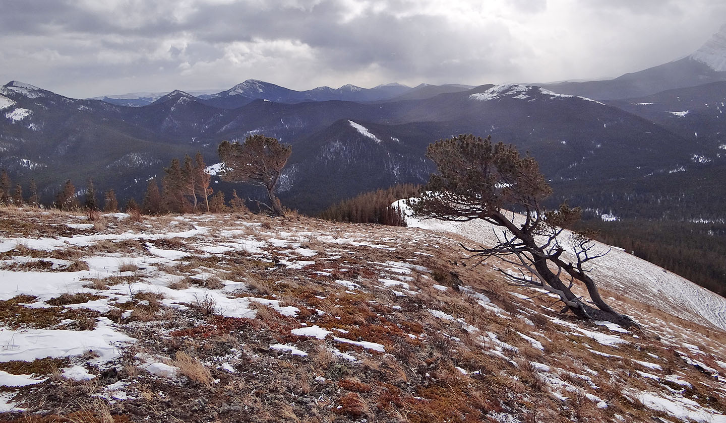
From the first ridge the grassy slopes on the second ridge beckon, but I'll have to posthole to reach them
On the grassy slopes
Looking back at the first ridge below
The third ridge came into view
Coyote Hills to the south
More deep snow ahead
Here we go again
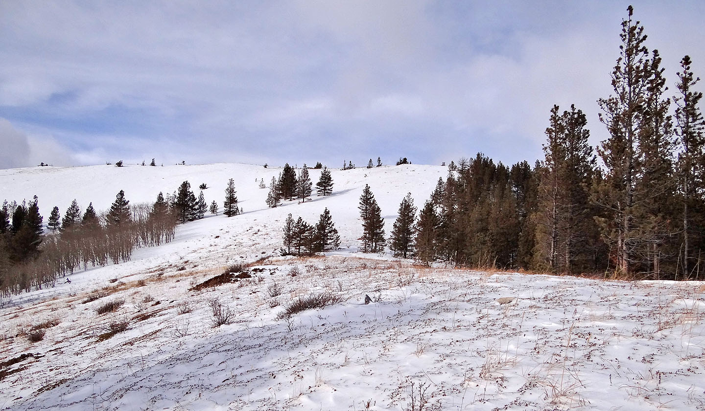
I kept following the ridge
View from the third ridge
The fourth and final ridge was next
The deepest snow of the trip – above my knees – was ahead
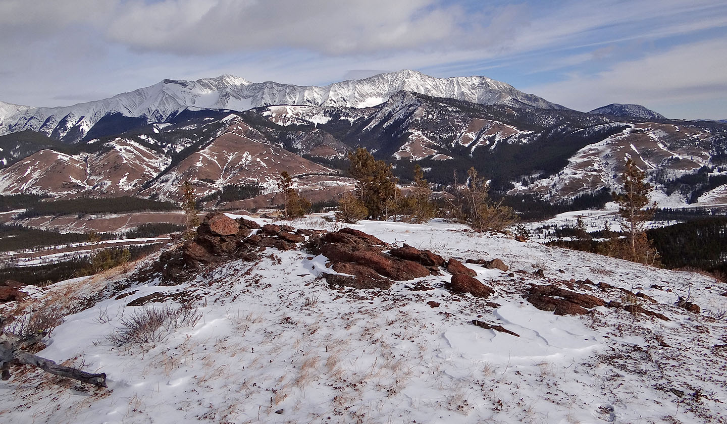
Looking southeast from the fourth ridge
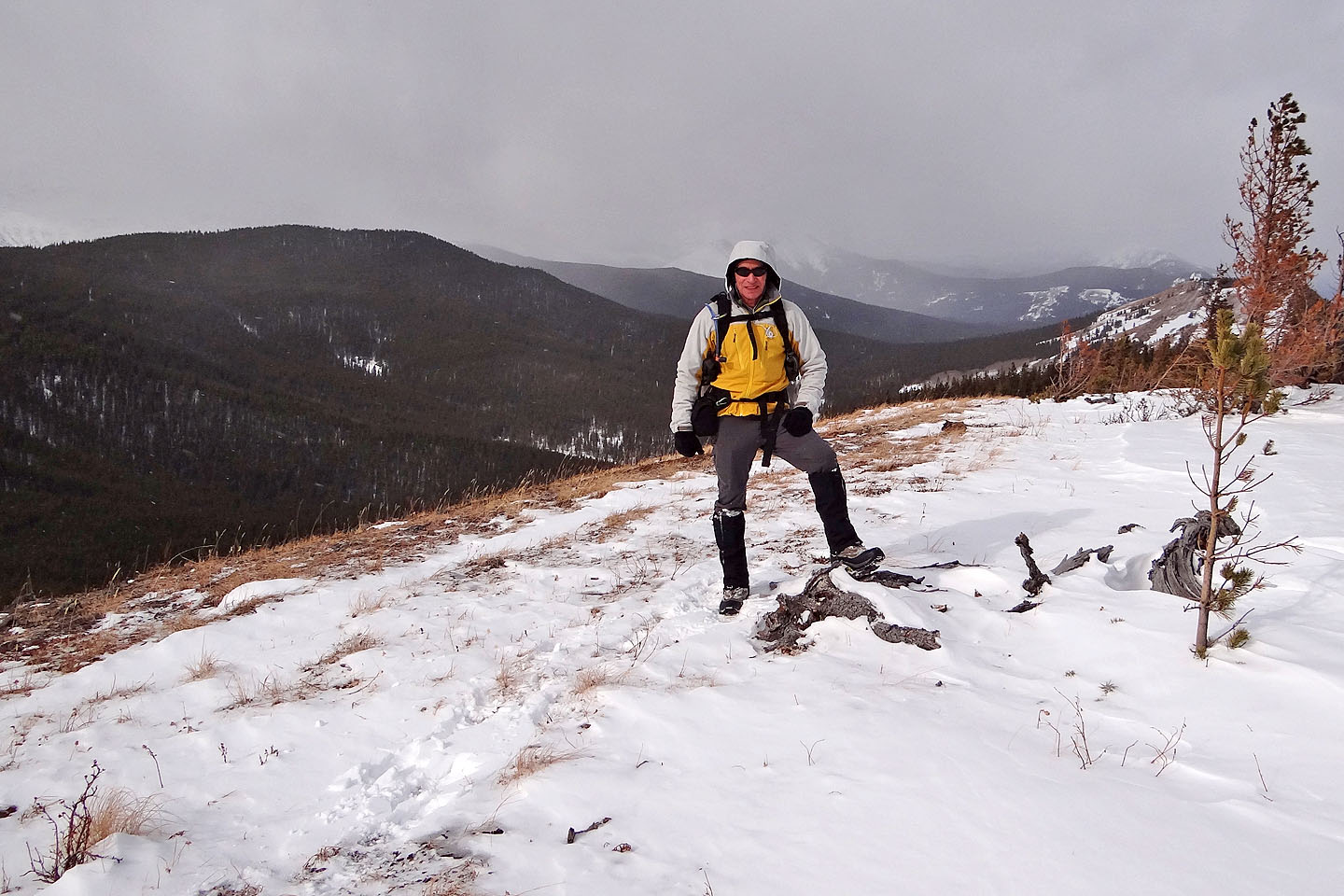
On the fourth ridge. The highest point of the Strawberry Hills is on the left.
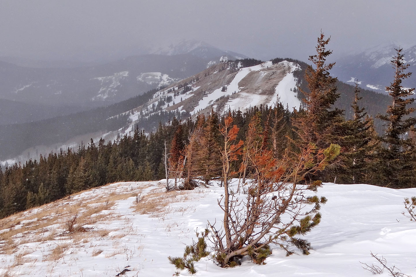
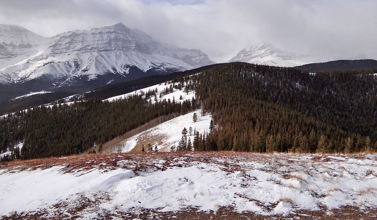
Looking north at another hill in Strawberry Hills
82 J/7 Mount Head