bobspirko.ca | Home | Canada Trips | US Trips | Hiking | Snowshoeing | MAP | About
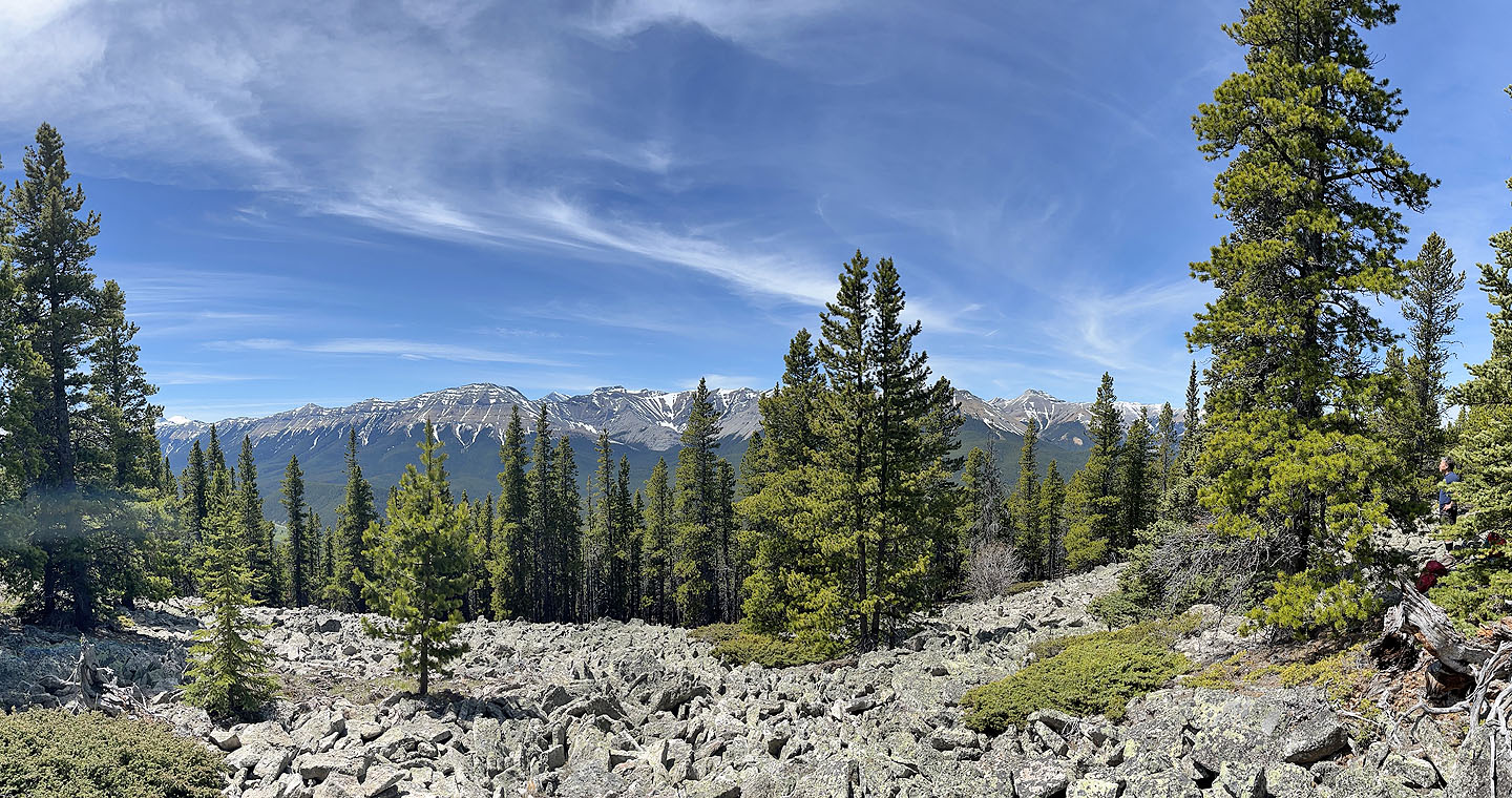
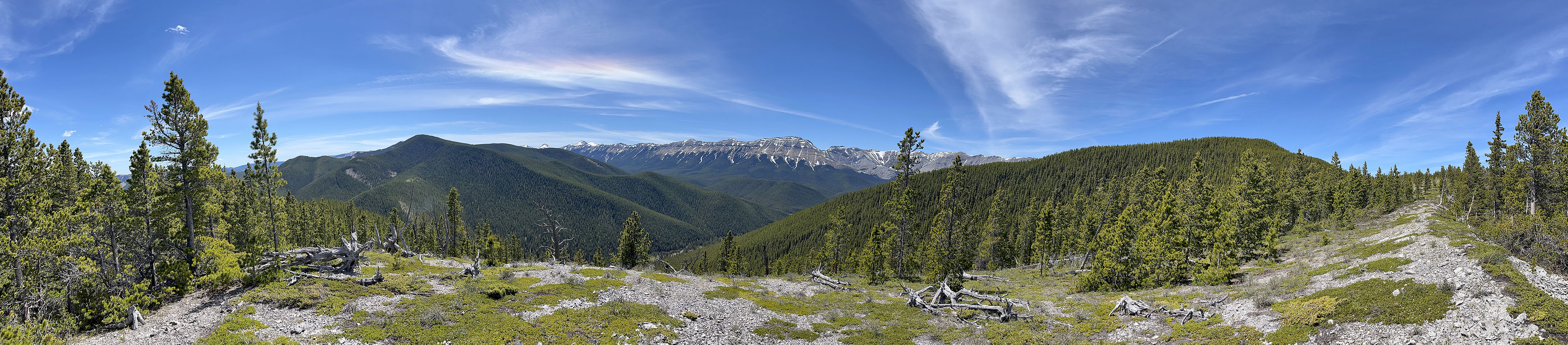 Panorama from the open ridge below the summit
Rock Point Ridge
Kananaskis, Alberta
June 13, 2024
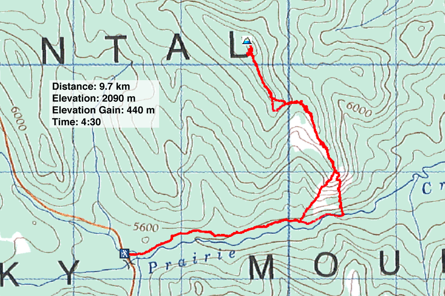
Distance: 9.7 km (6.0 mi)
Cumulative Elevation Gain: 458 m (1503 ft)
While perusing the maps in Kananaskis Country Guide Trail, Vol. 2, a couple of years ago, I was curious about a spot called Rock Point. It appears on an open slope partway up a ridge. The guidebook doesn't provide a trail description, but the map shows an off-trail route from Prairie Creek Trail. It looked interesting, especially since there's an option of continuing to a summit. I finally got around to doing it. Wayne Hoshizaki, an avid hiker and scrambler, joined me.
Starting from the west end, we hiked down Prairie Creek Trail. We only had to go 2 km before starting our ascent, but for some reason, my Garmin GPS didn't alert me to the exit point. I didn't realize the error until we zipped 250 m past it. Rather than go back up the trail, we started our ascent then and there.
Without knowing what lay beyond the trees in front of us, we went straight up. It was steep from the get-go, and we soon encountered extensive cliffs. Fortunately, we were able to get through. Indeed, we found the rocky terrain alluring. It was a strenuous hike with options to scramble and explore.
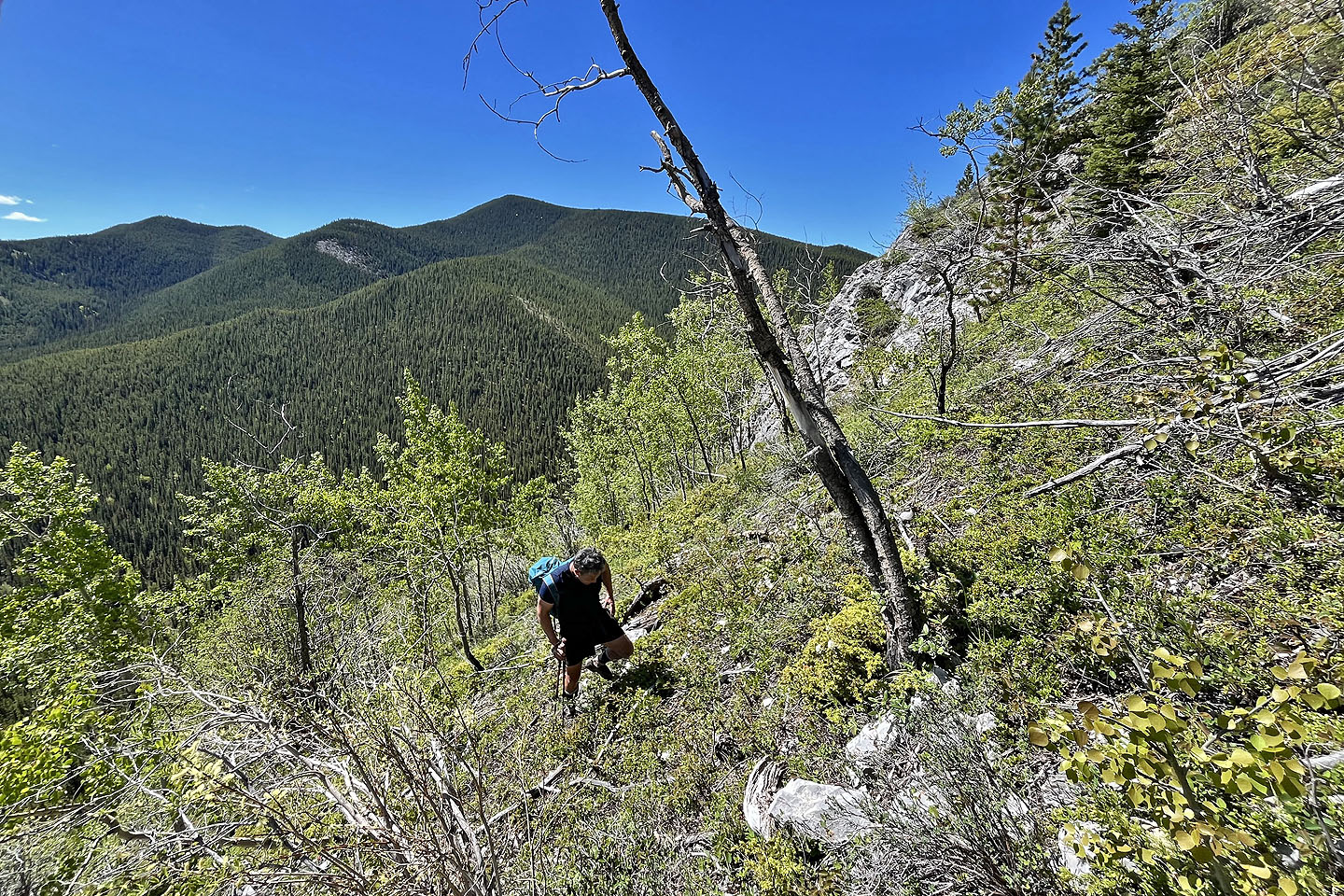
Eventually, the grade eased and we entered the forest. We were now on the southeast ridge. After a time, we came to a clearing that extended into a long corridor through the trees. After the corridor ended, we continued a kilometre up the treed ridge to the summit. Halfway, however, we appreciated finding a break in the trees, a black outcrop with a view of Nihahi Ridge and Compression Ridge.
The exact summit was difficult to determine as it was a nondescript flat spot in the forest. But nearby, we found a small pile of rocks, a natural cairn. We only added a few stones.
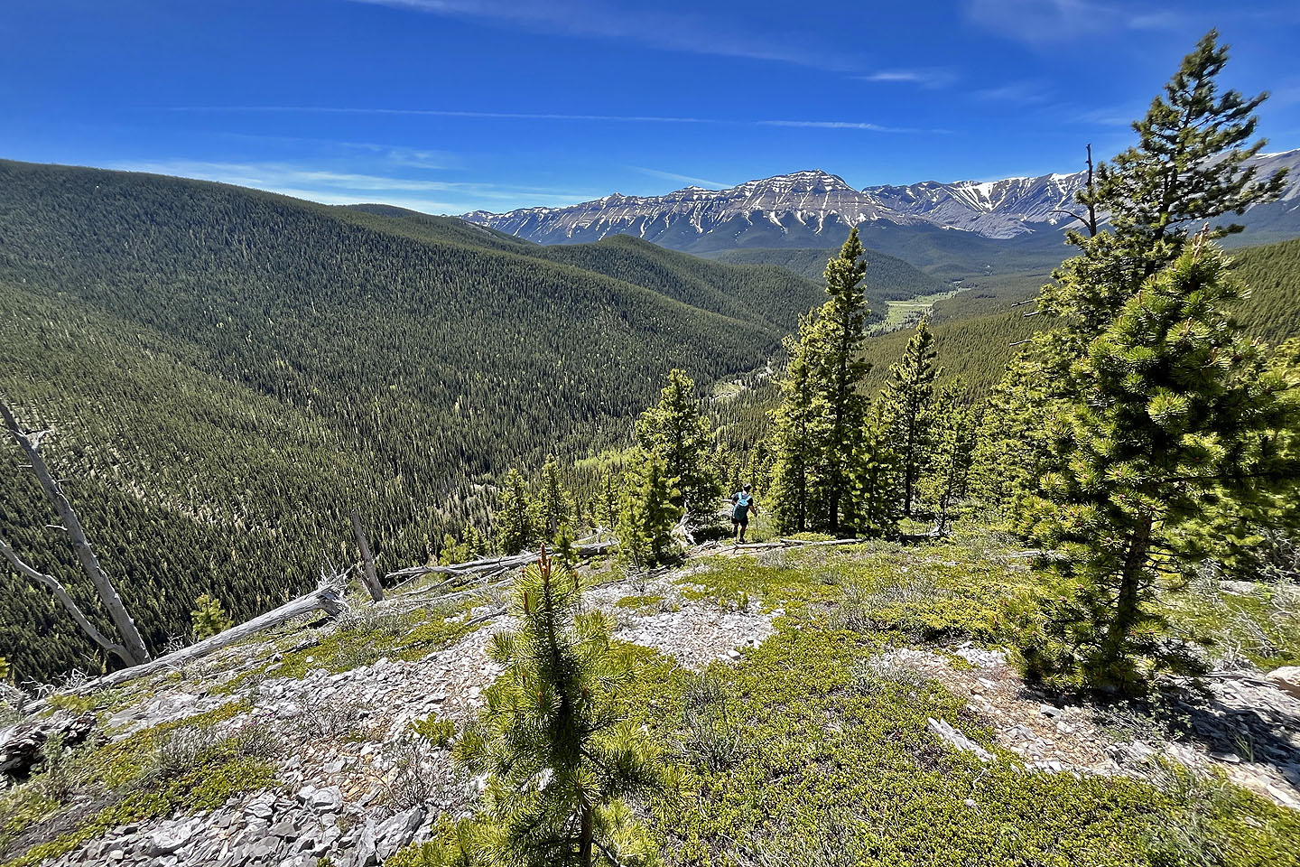
Trees limited views on top, but after heading back along the ridge, we found a talus slope on the west side that offered mountain views. We continued down, bypassing the black outcrop. However, we mistakenly missed a turn on the ridge, but after a short traverse, we were soon back on track.
We had no wish to descend the steep slope we had impulsively climbed earlier; we took the easier route in the guidebook. It began in trees, but soon we reached a pleasant open spur. At the bottom, we passed through trees and got back on Prairie Creek Trail. We ambled 1.8 km back to the car.
Few trips are so intriguing that I care to repeat, but I think Rock Point Ridge may be one of them.
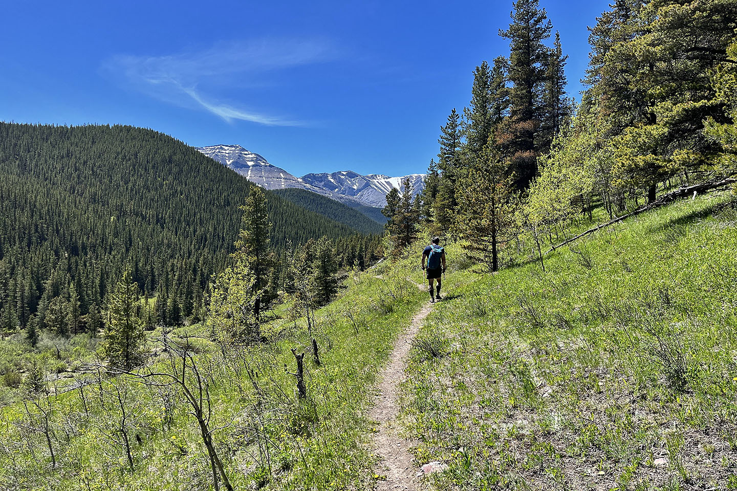
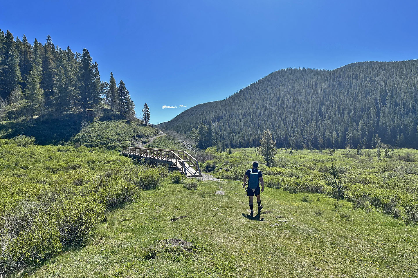 Starting up Prairie Creek Trail
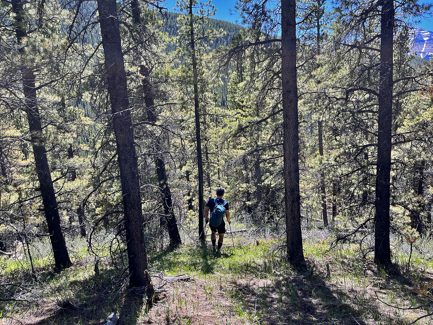
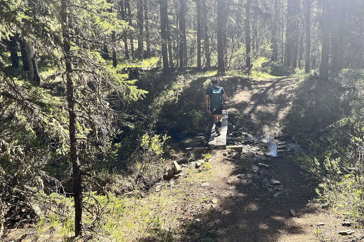 The trail mostly stays in trees
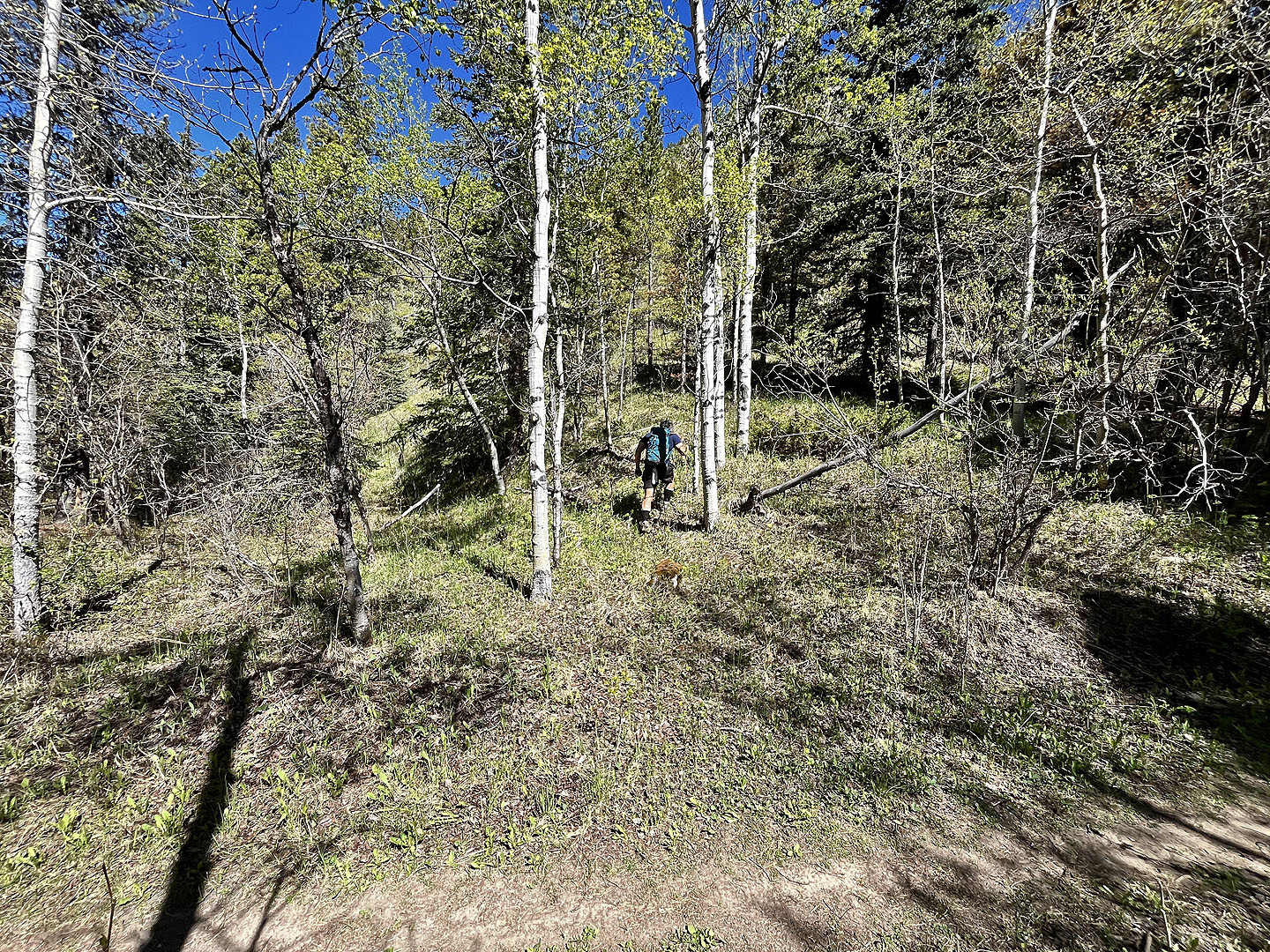 Starting up the slope from the trail
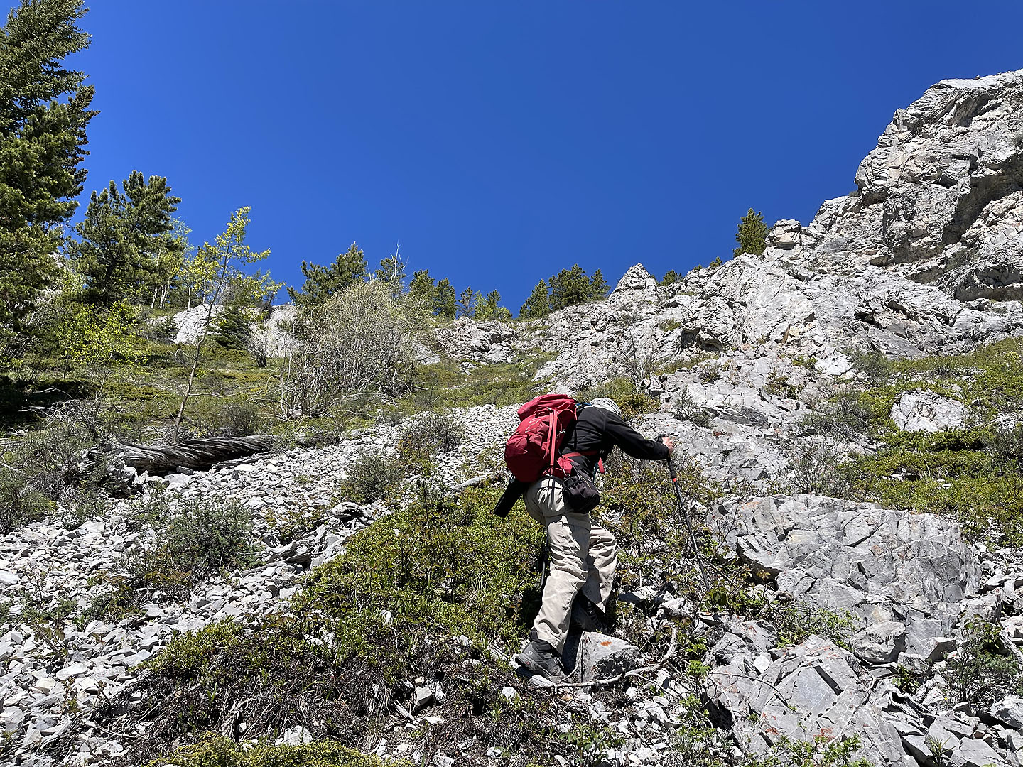
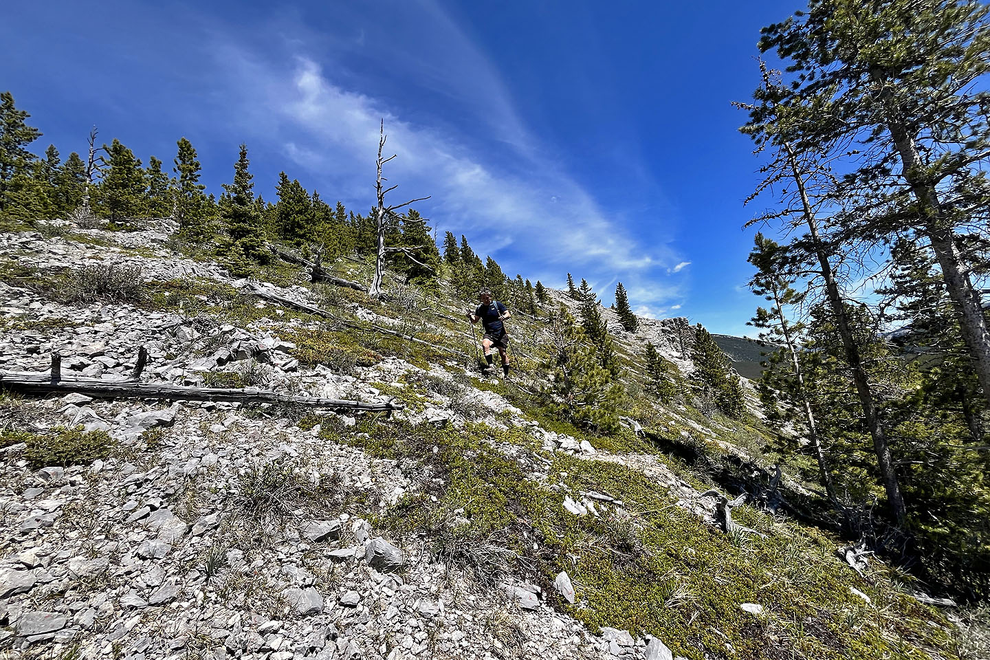
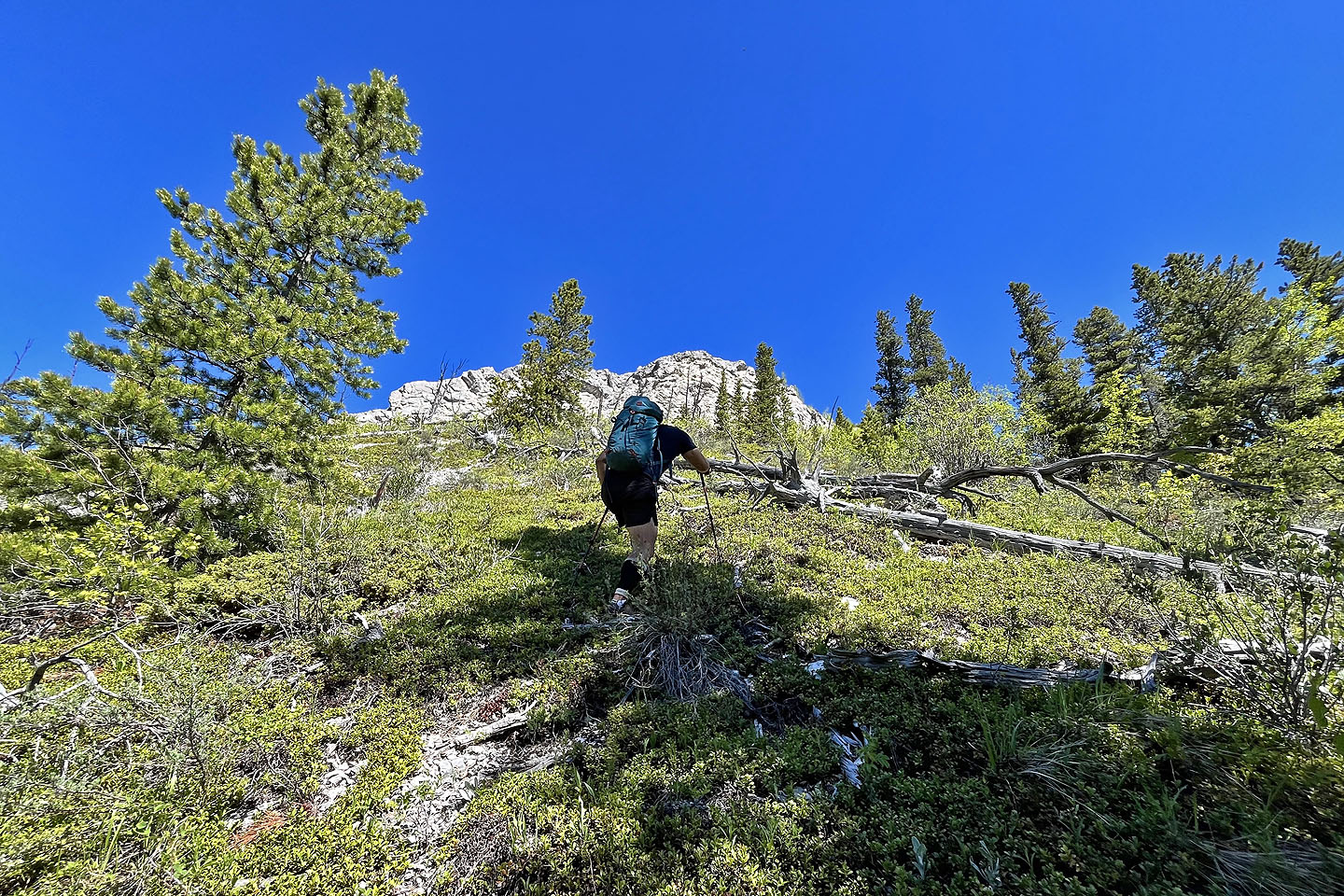 We'll keep right of the cliffs ahead
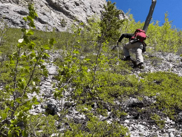
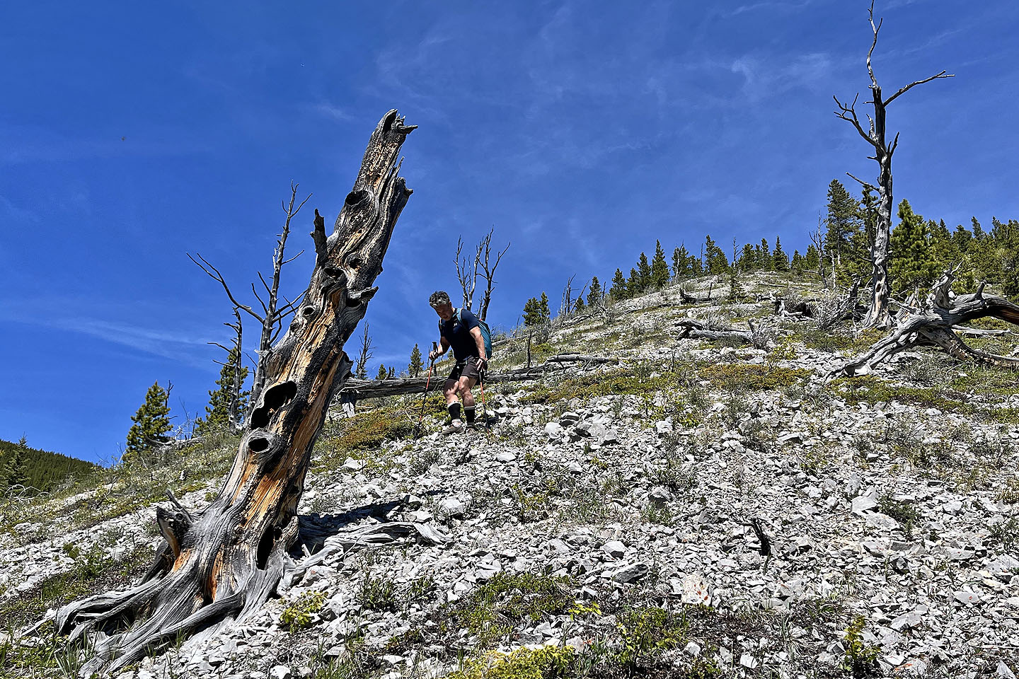
 The ascent was quite steep
 I took a tumble when my feet and poles all slipped in loose scree
 We turned left here
 We turned right after the cliff ahead
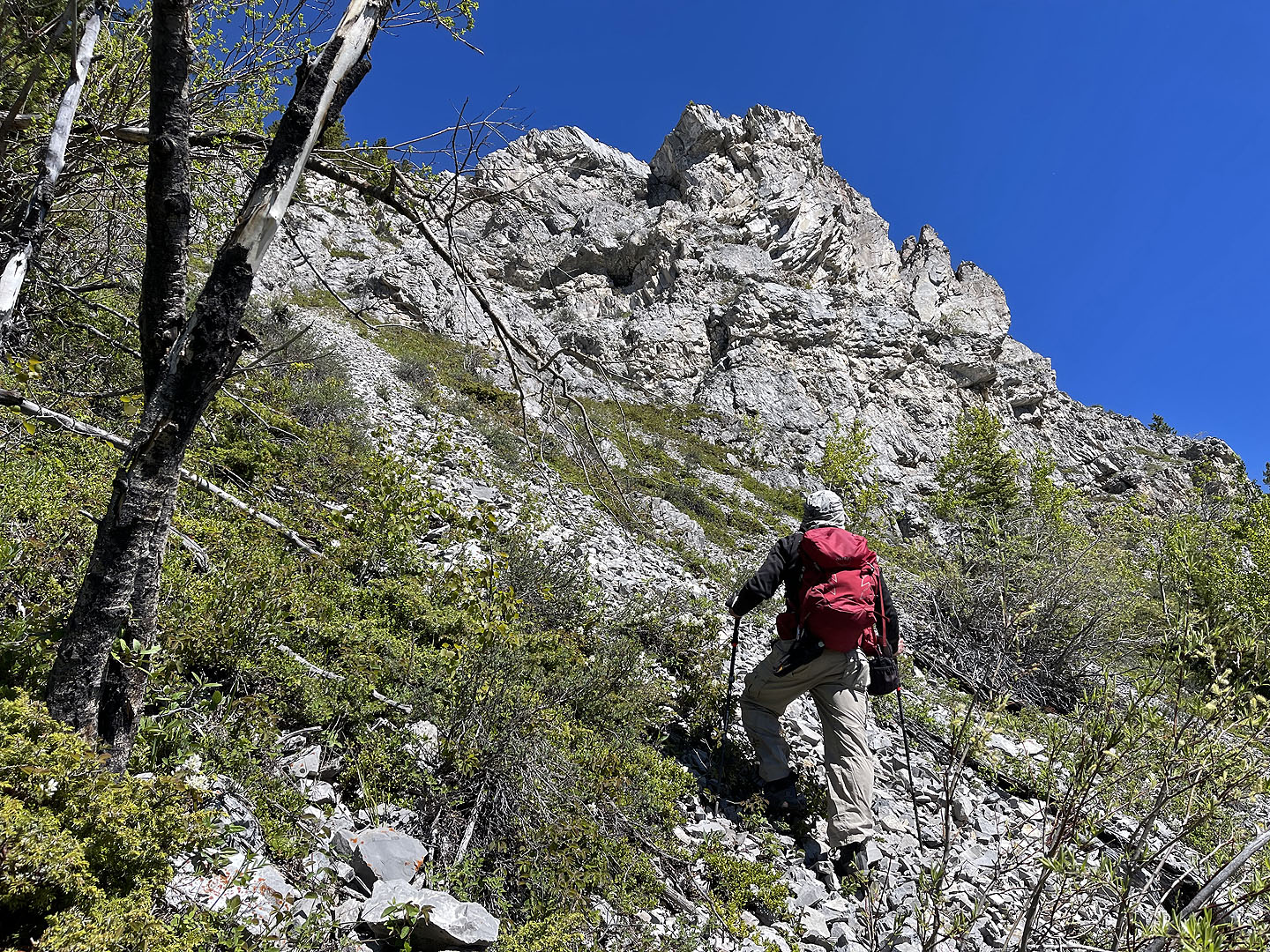
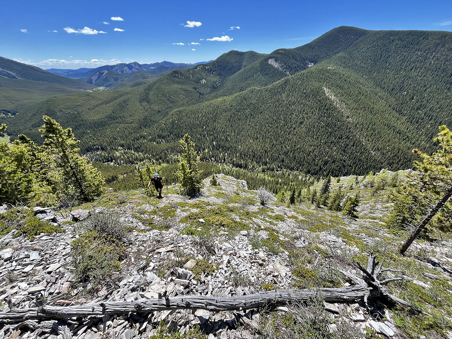
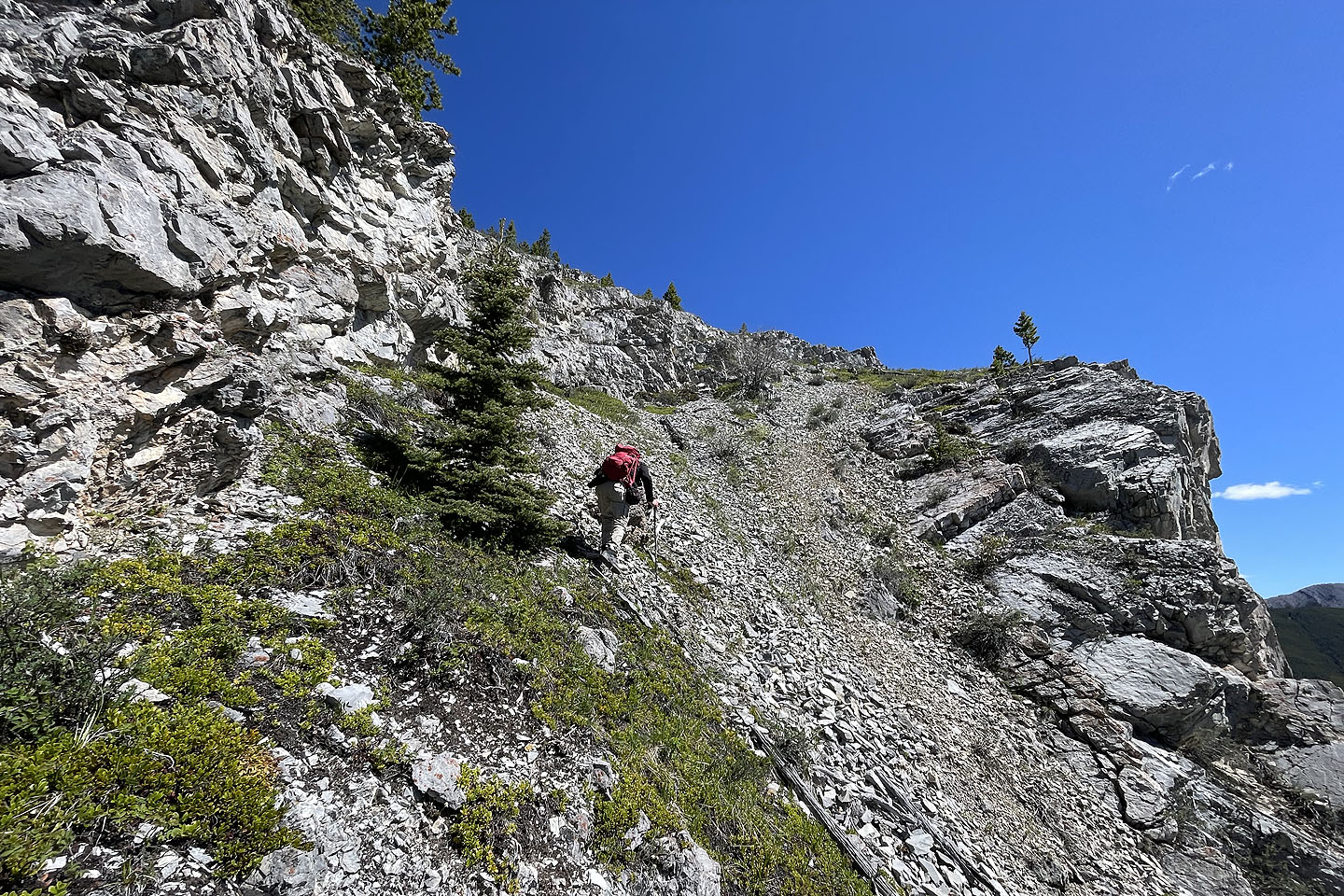 The cliffs ran for quite a way
 Looking back
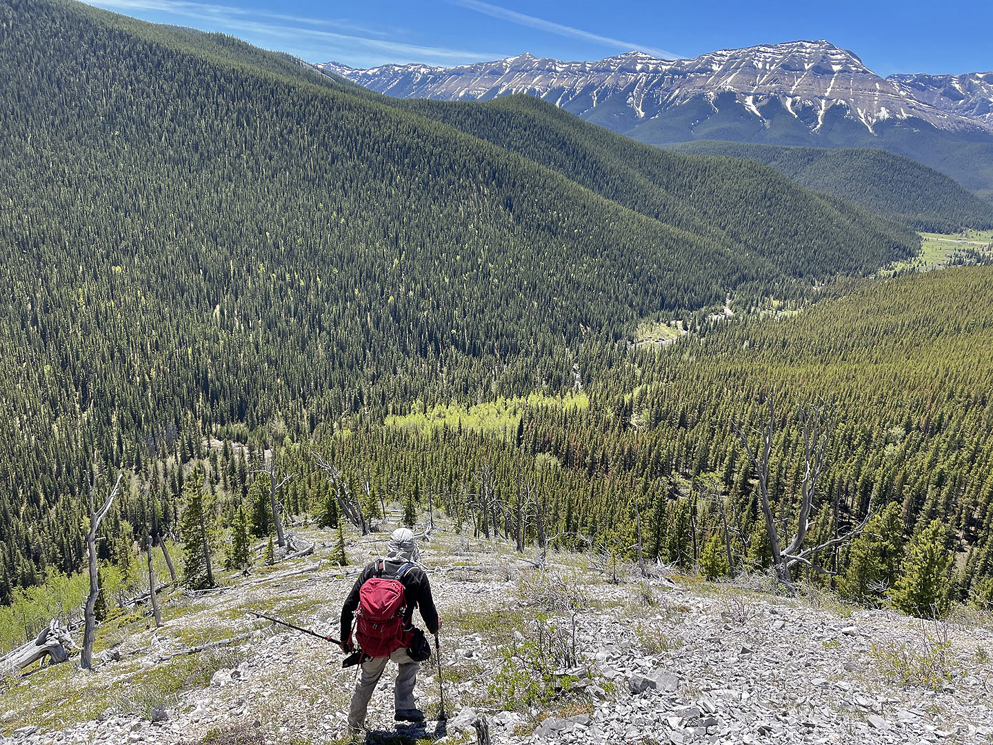
 Prairie Mountain
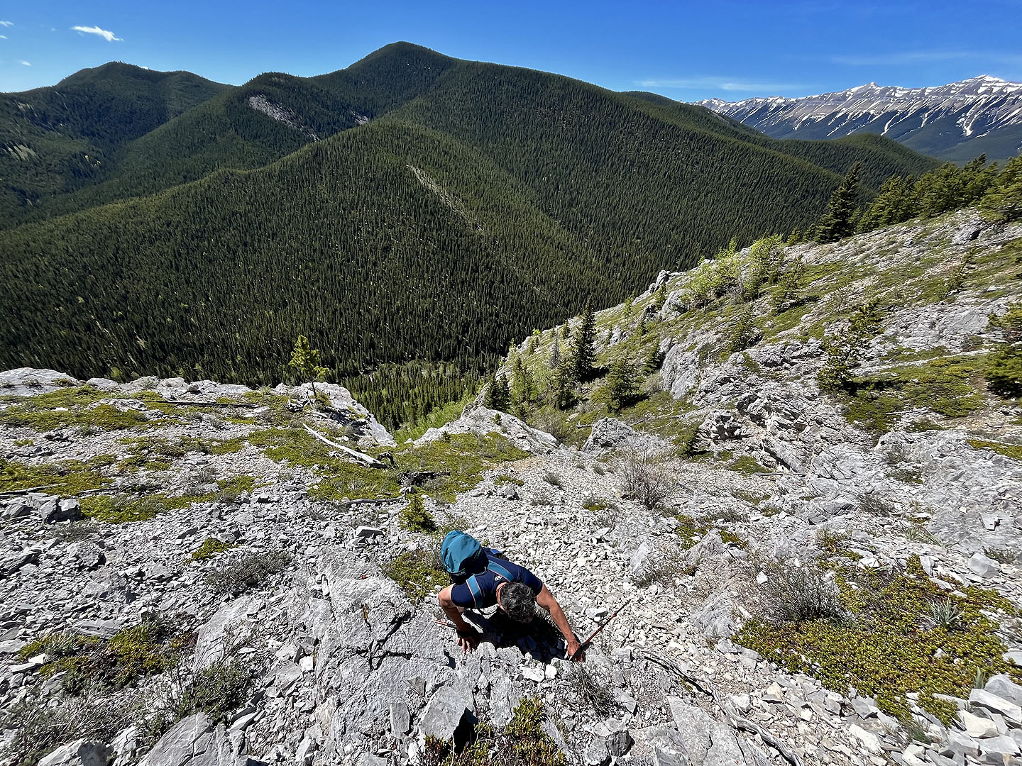
 Continuing up the ridge
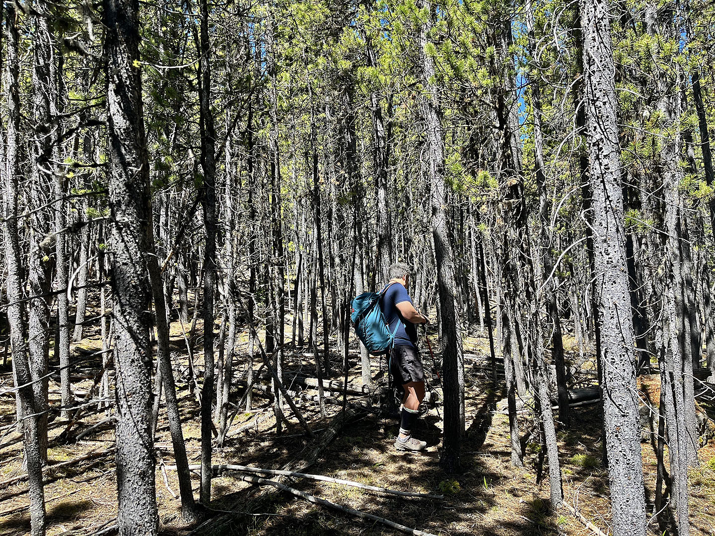
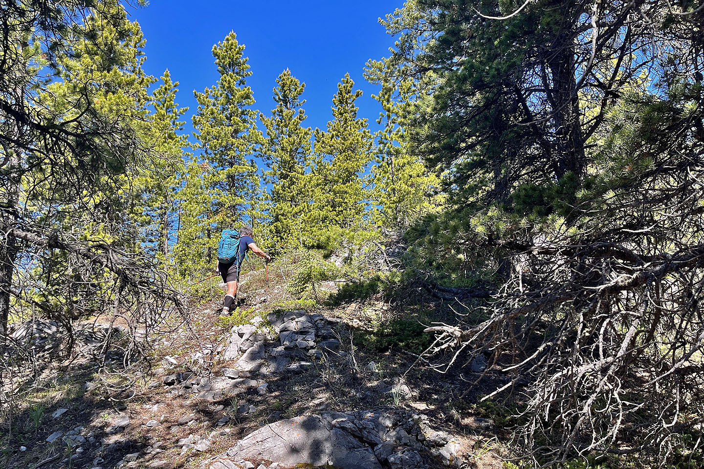 We entered the trees
 We reached a clearing on the ridge. Powderface Ridge on the left, Nihahi Ridge right (mouse over for a close-up)
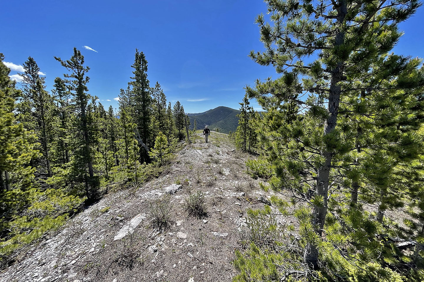
 Continuing up the ridge. Summit is left.
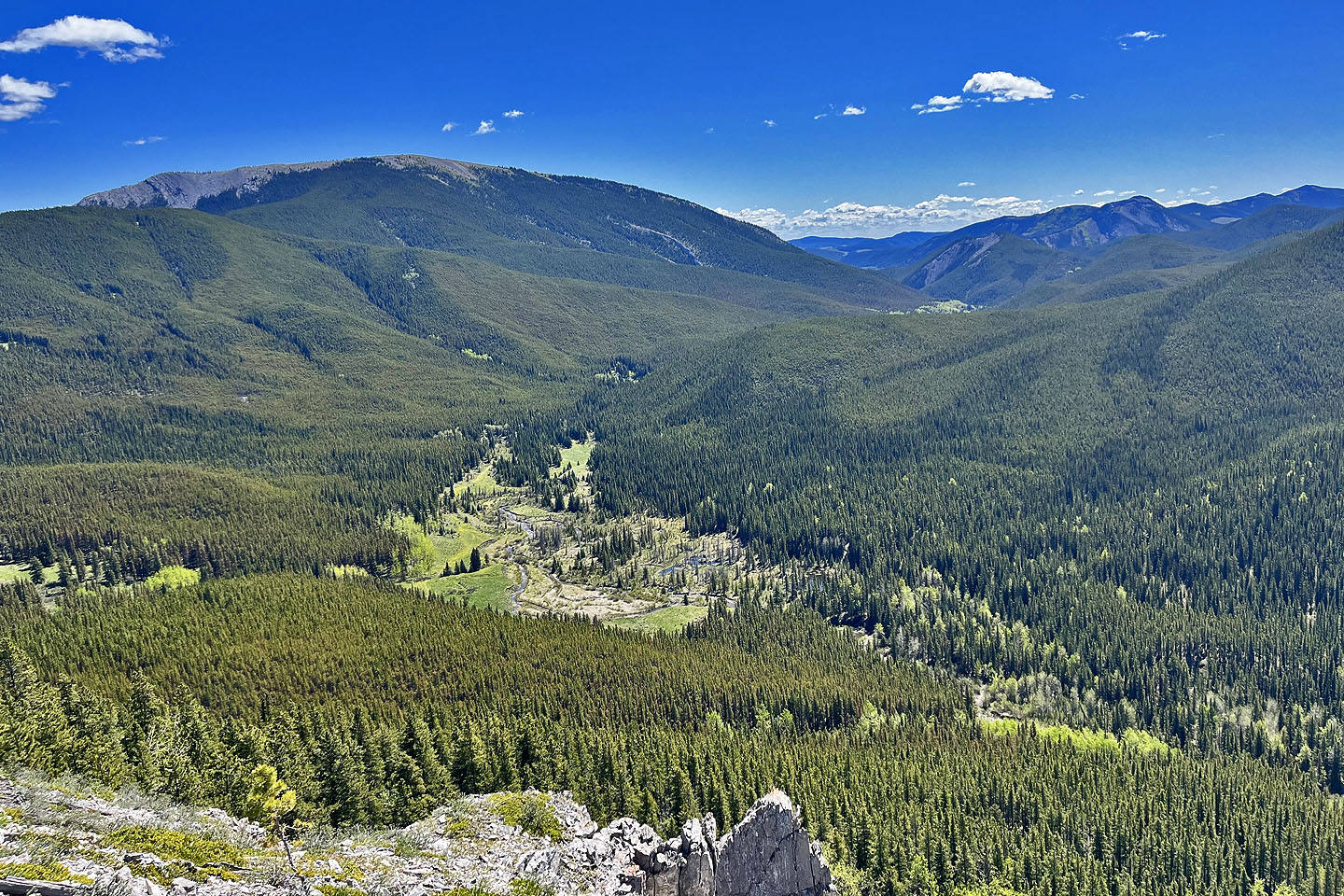
 Looking back
 Back in the trees
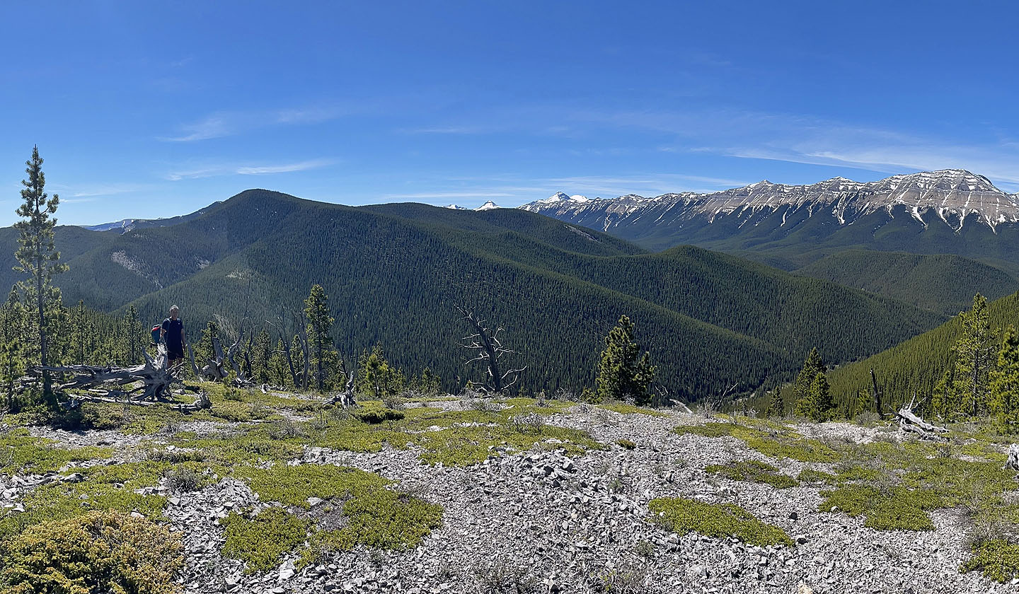
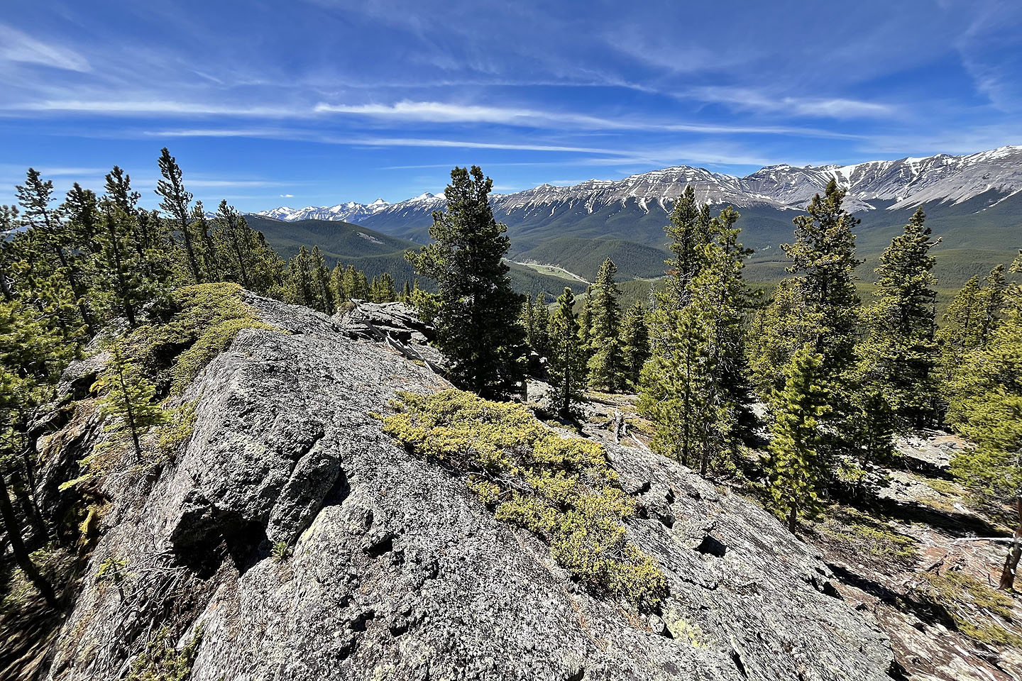 We took in the views on an outcrop 500 m before the summit
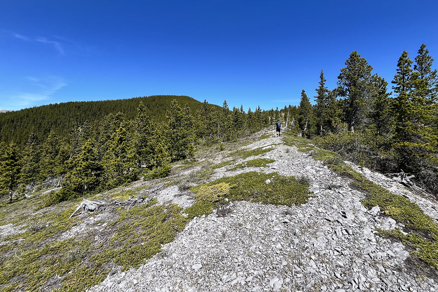
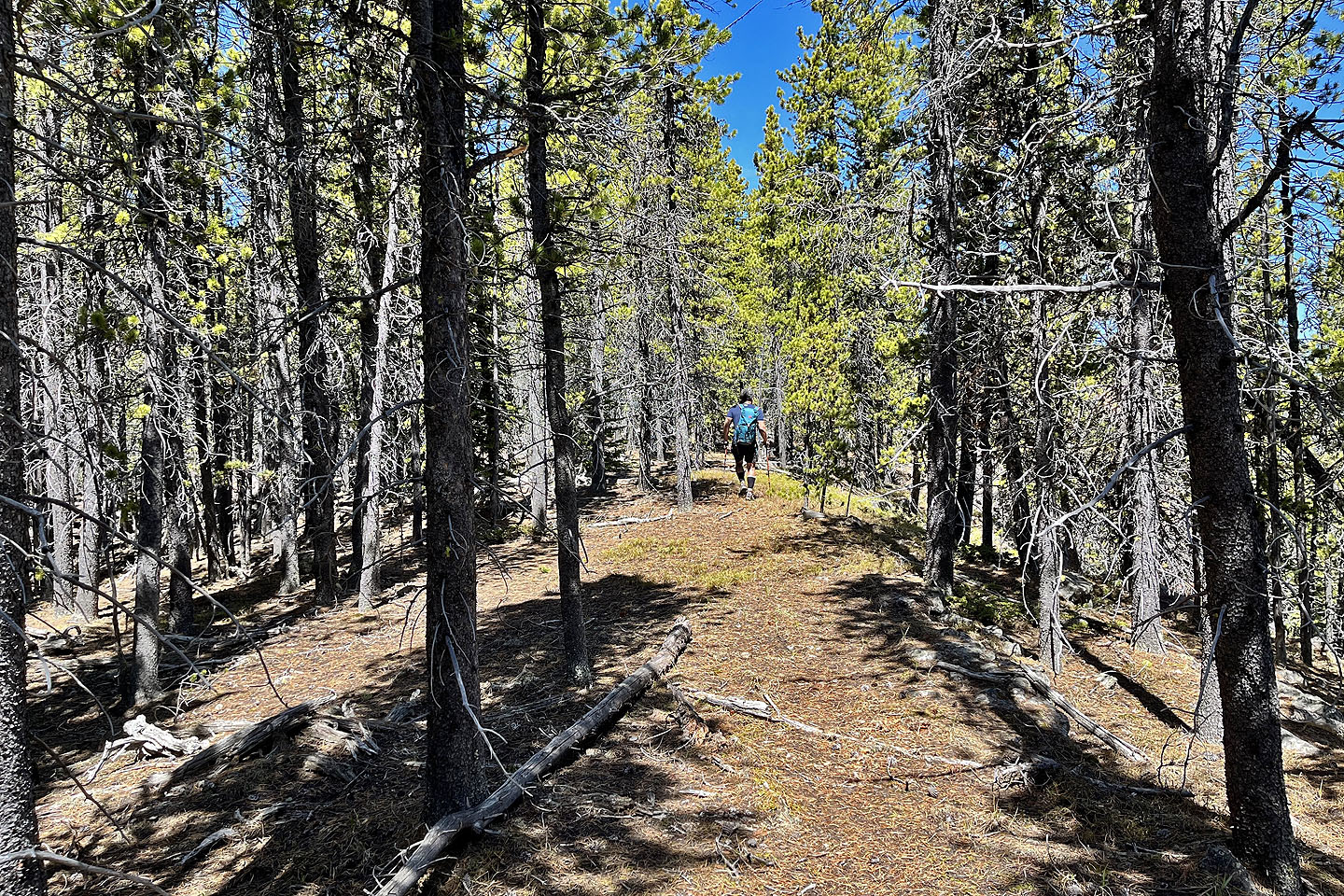
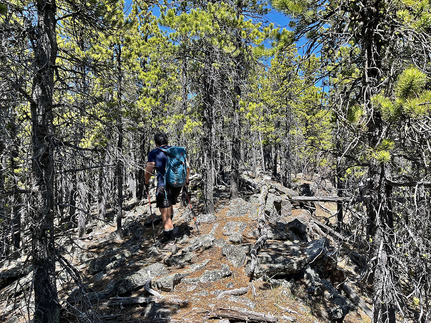 Continuing up the ridge
 Nearing the summit
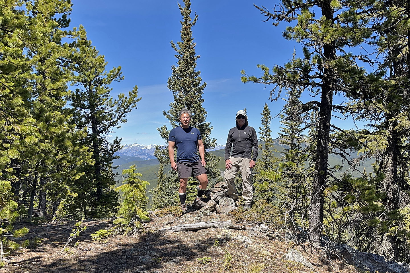 Wayne and I stand by a cairn near the summit
 We took a break in a clearing 125 m south of the summit
 Going down the descent route
 Looking back
 We followed an open spur down
 Looking back up the spur
We dropped down through the trees before reaching the trail
 Following the trail back
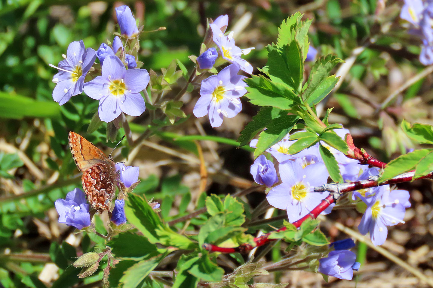 A butterfly feeds on Jacob's Ladder wildflowers
82 J/15 Bragg Creek