bobspirko.ca | Home | Canada Trips | US Trips | Hiking | Snowshoeing | MAP | About
Rae Glacier
Kananaskis, Alberta
August 30, 2025
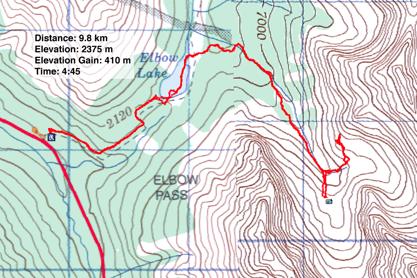
Distance: 9.8 km (6.1 mi)
Cumulative Elevation Gain: 500 m (1640 ft)
Dinah and I hiked to one of the sources of Calgary’s drinking water: Rae Glacier. To reach the viewpoint for the glacier, we followed the trail to Elbow Lake and into a valley. At the end of the valley, at the foot of Mount Rae, are two cirques. Rae Glacier sits in the south cirque. Zora, Wendy, Jonathan, and Bernadette joined us on this adventure.
Parking was plentiful when we arrived at 8:30 am, but after our hike, the parking lot was full and cars were parked along the roadside. We hiked up the broad, steep trail 1.3 km to the lake’s south end, before turning right and entering a campground. We walked through a confusing network of paths until we found the east lakeshore trail. Before reaching the north end of the lake, the trail turned into the valley.
After following a creekbed, the trail climbed through trees and then emerged onto an open slope, offering a distant view of Rae Glacier. The trail then dropped to run alongside a rocky creek before climbing to a marked viewpoint. The little glacier didn’t hold our attention for long, and we turned our attention to the eastern cirque.
We returned down to the creek, and following trails, reached the entrance of the east cirque. The cirque is a boring bowl of rocks, but the open shoulder on our left offered a fine vantage point. We hiked up to the broad top. We could see both cirques, as well as Alpoca Mountain and Tombstone Mountain. After relaxing and admiring the views, we retraced our steps down the trail.
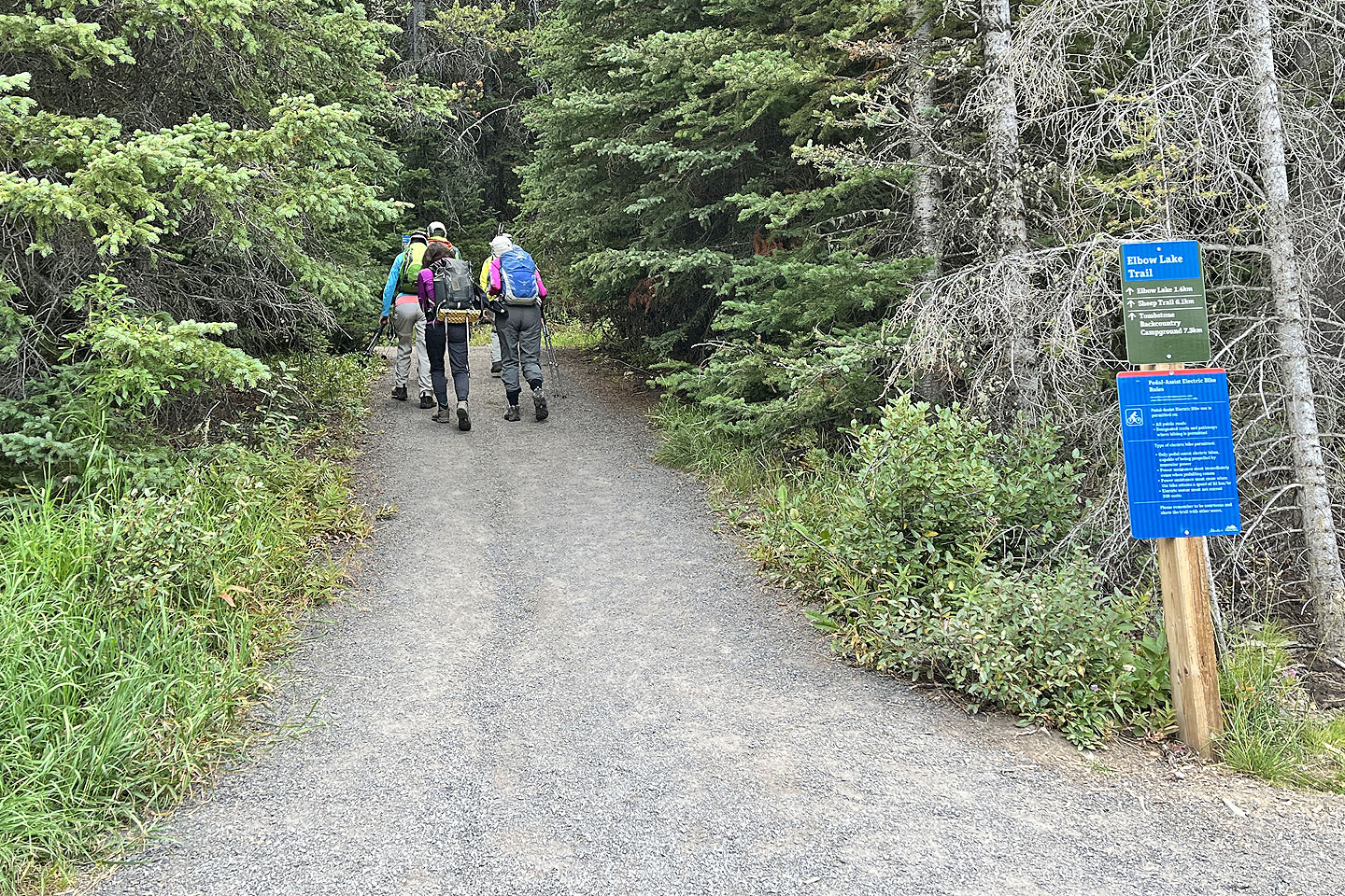 Heading to Elbow Lake
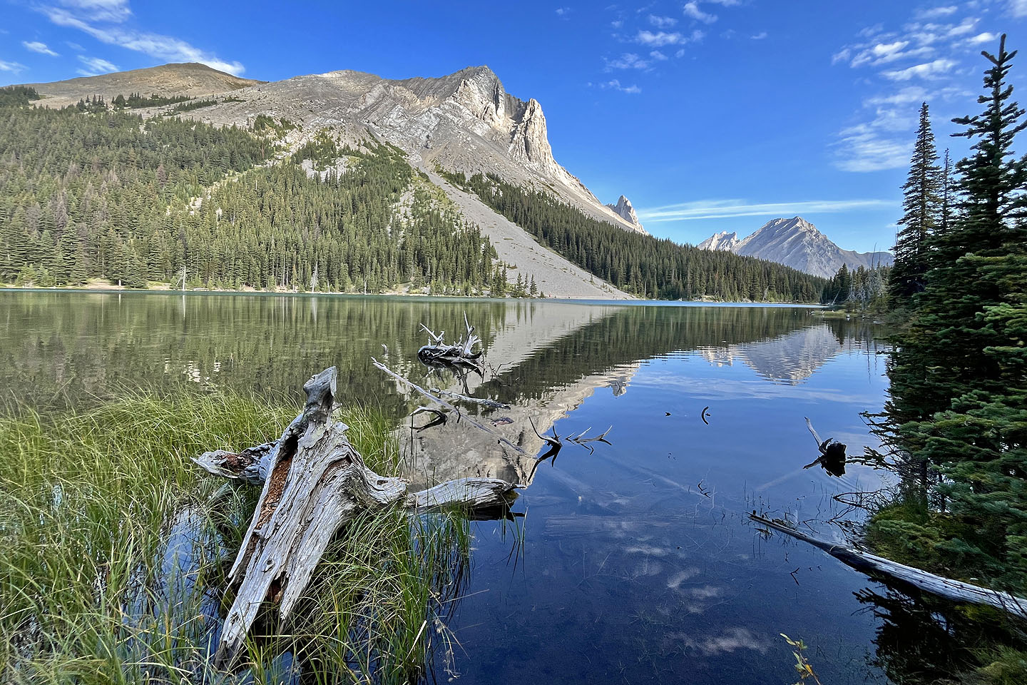
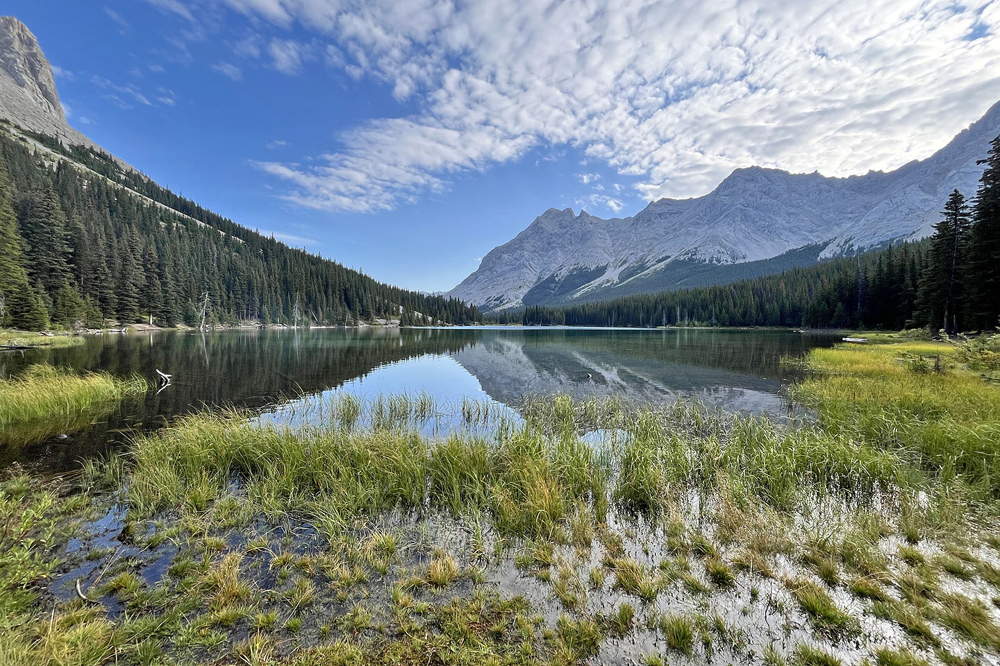 Elbow Lake
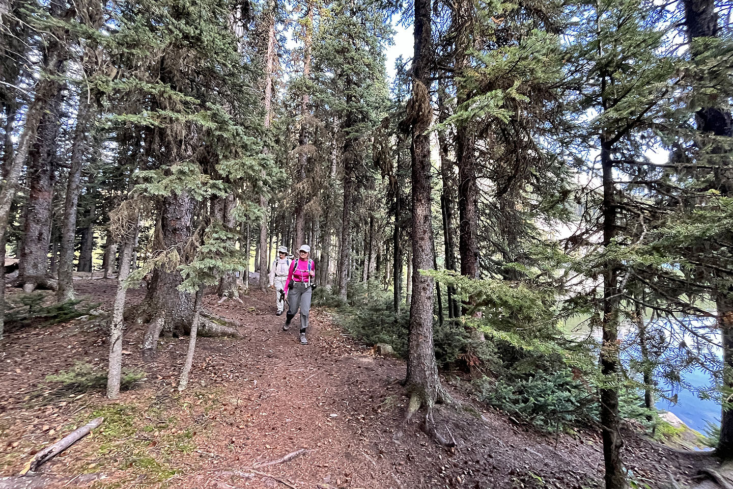 We followed the trail through a campground to the east side of the lake
 Looking across the lake at Elpoca Mountain
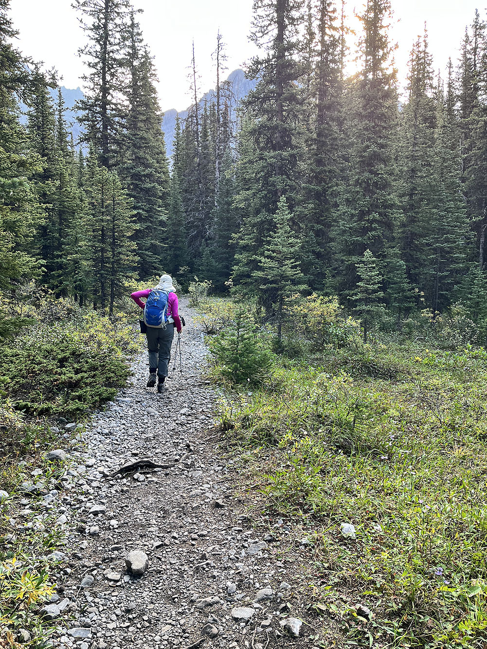
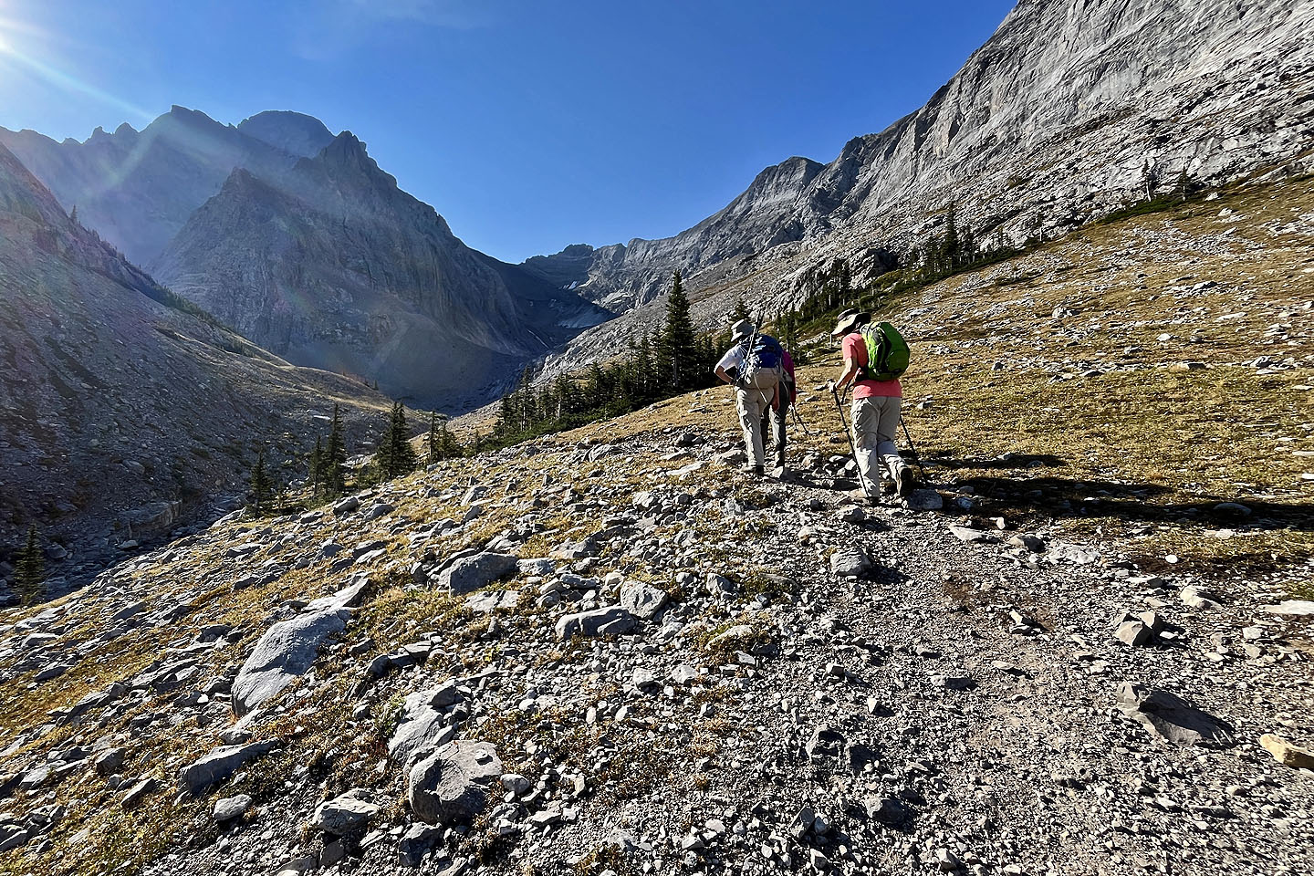
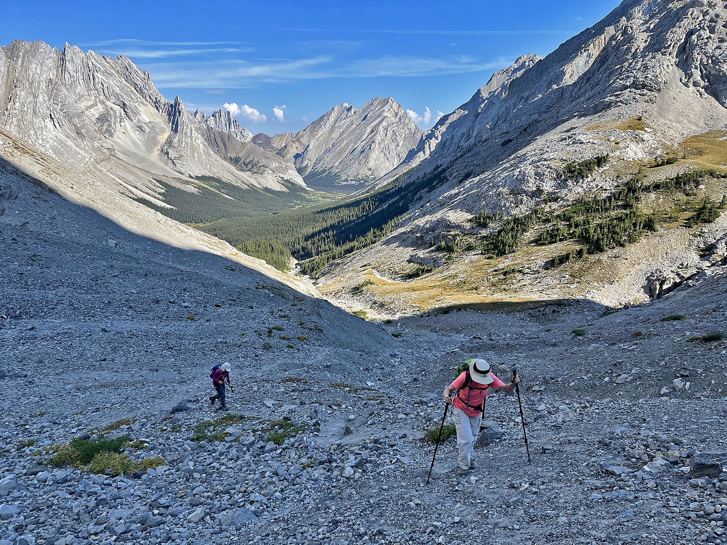
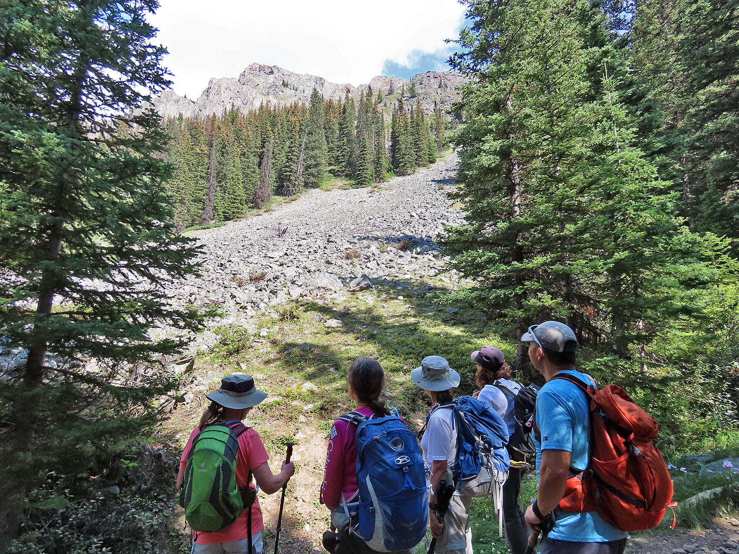
The trail eventually heads into the valley
 The trail runs alongside a creekbed
The trail leaves the creek and begins climbing
 We finally break out of the trees
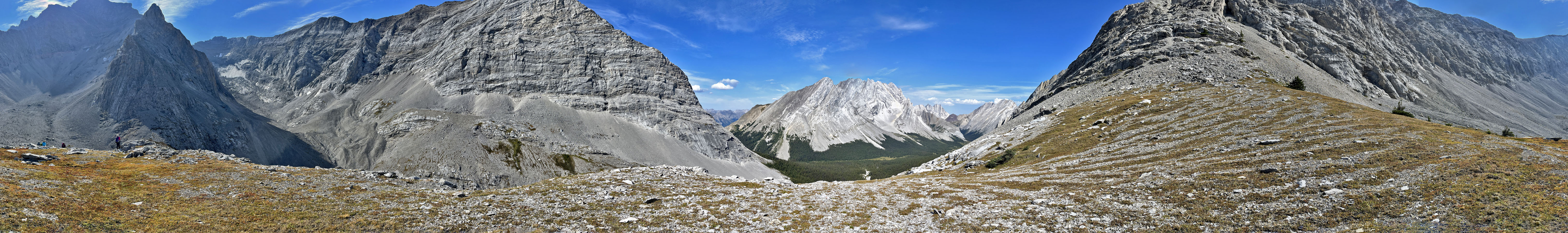
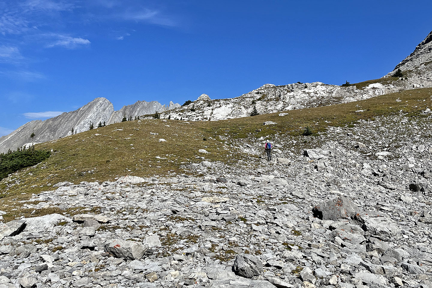
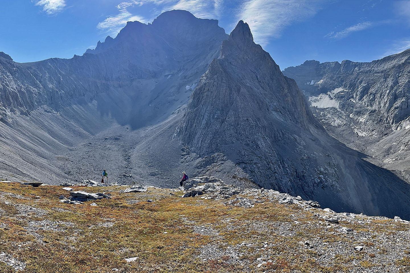
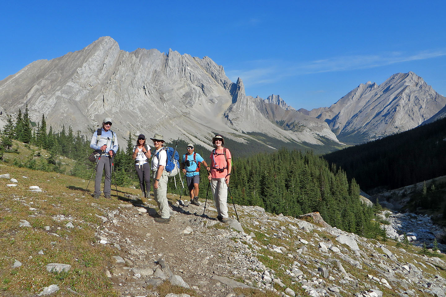 We paused on the open ridge
 Left in the foreground is Elpoca East Ridge, a delightful hike. Right is Tombstone South, a moderate scramble.
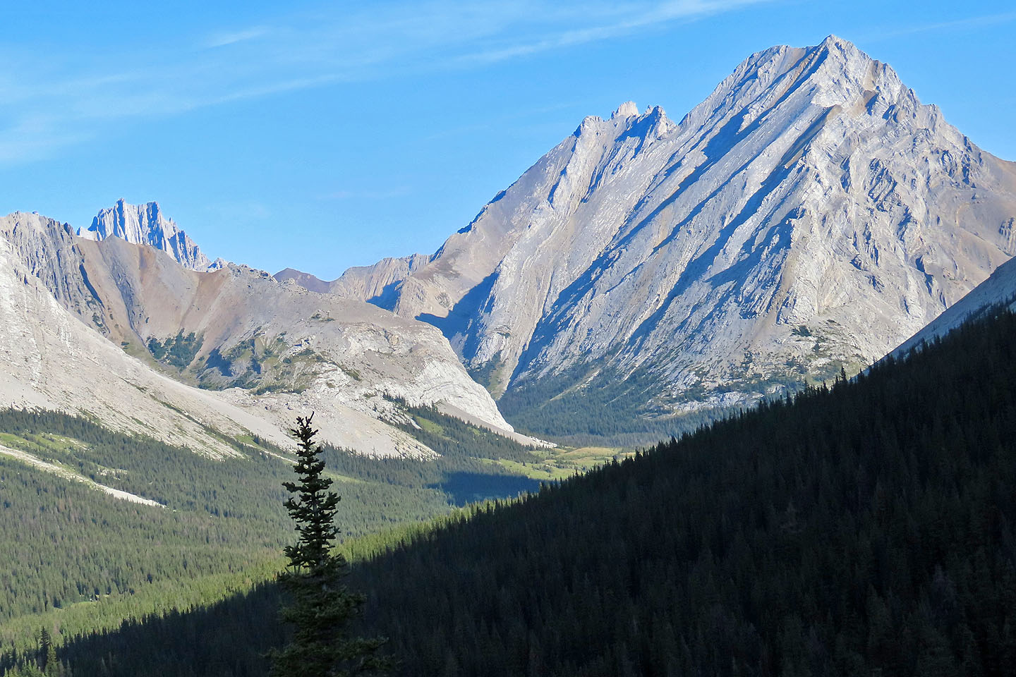
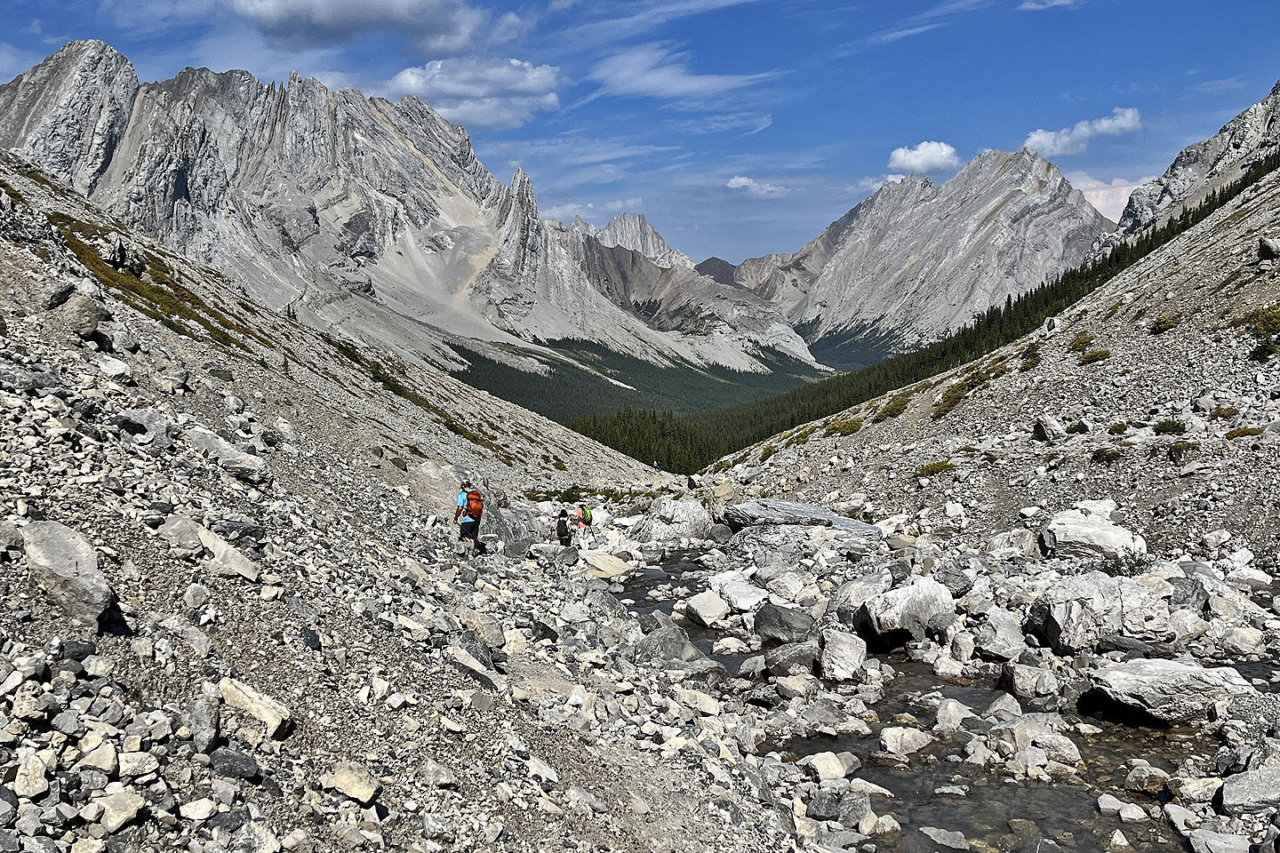
 The trail follows a creek. The glacier appears far off.
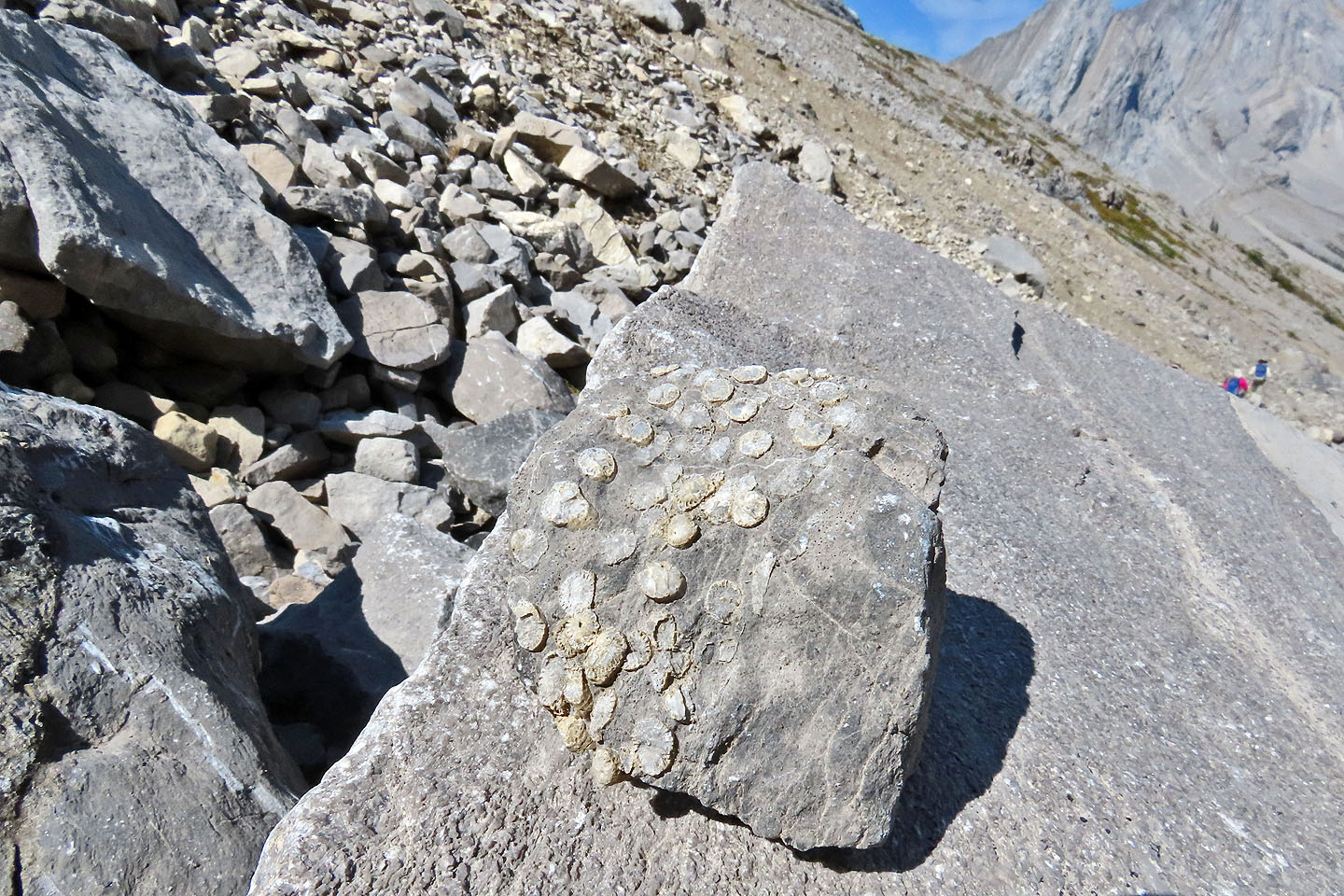 Fossils appeared in the rocks
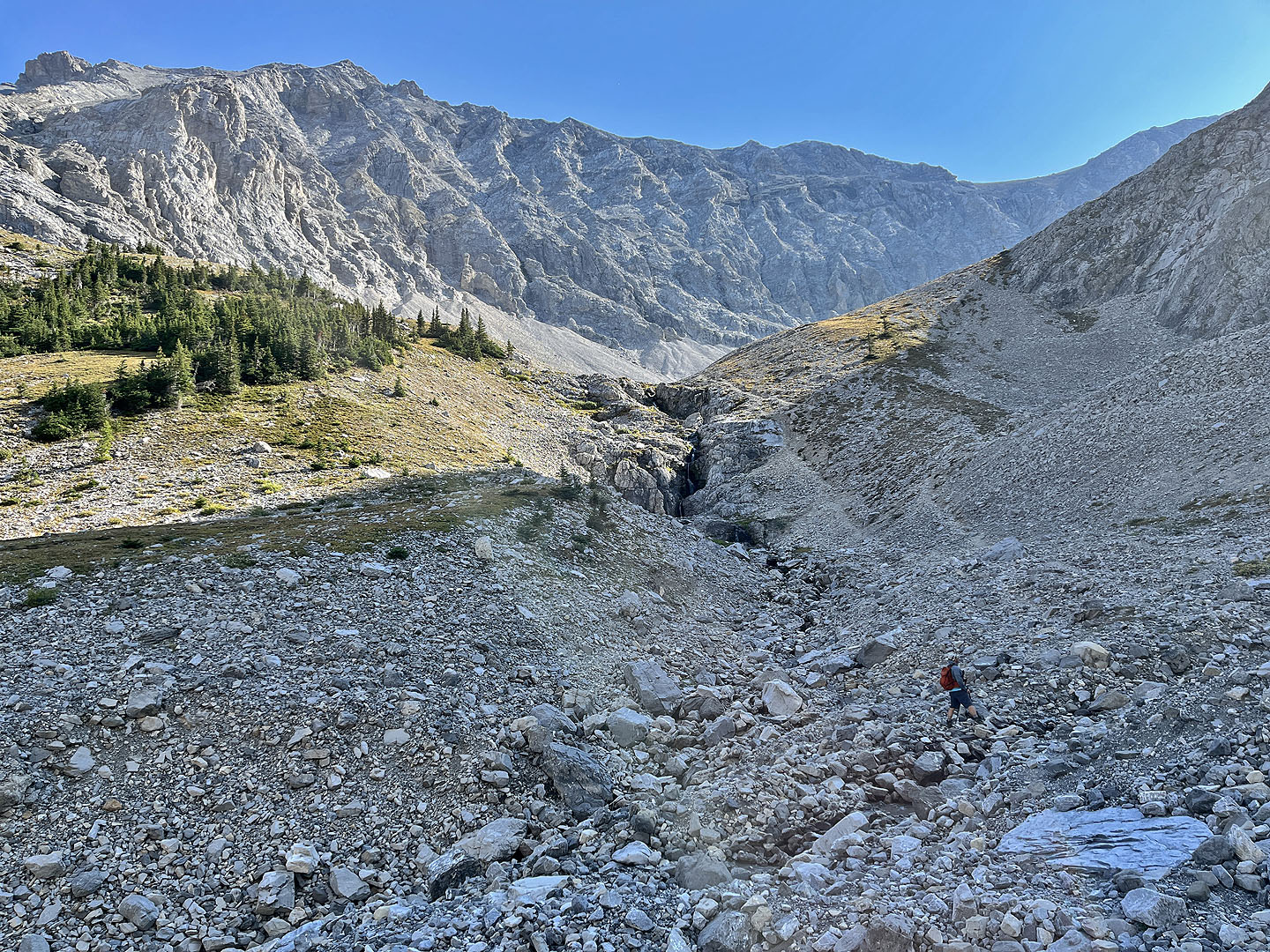
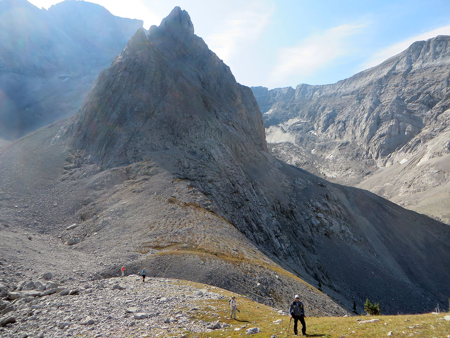
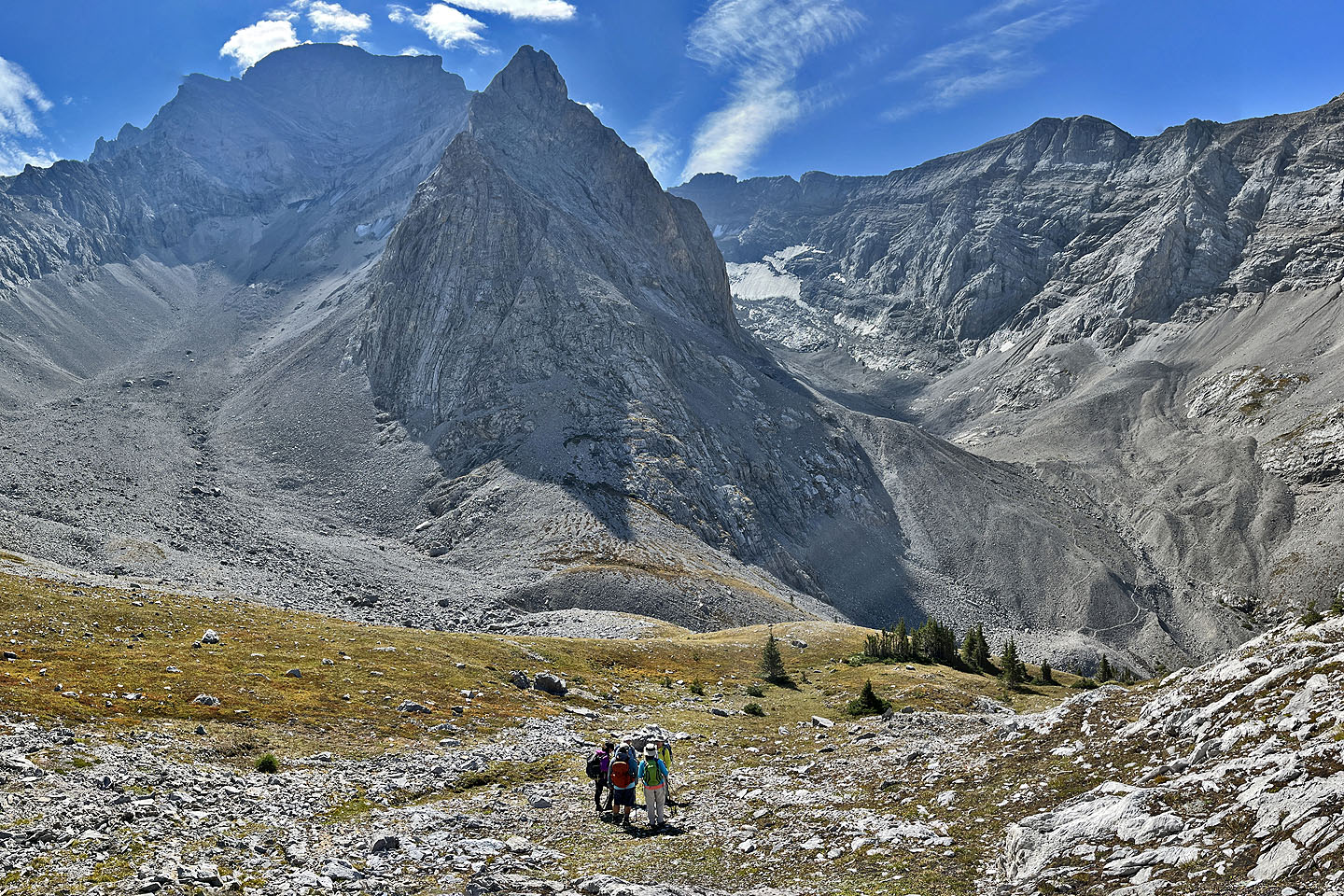
 Looking back after leaving the creek. Later we climbed the rocky shoulder on the right.
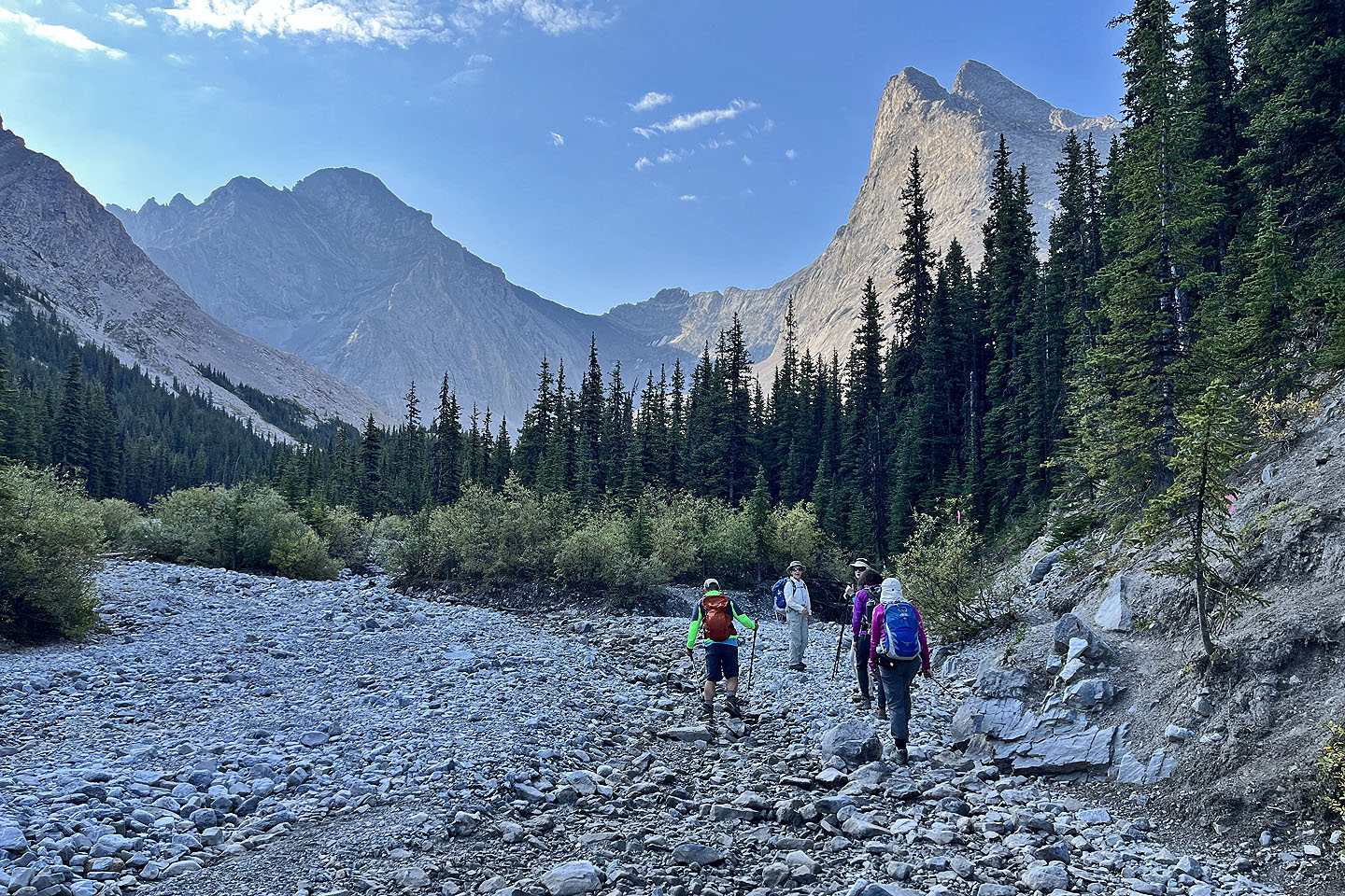
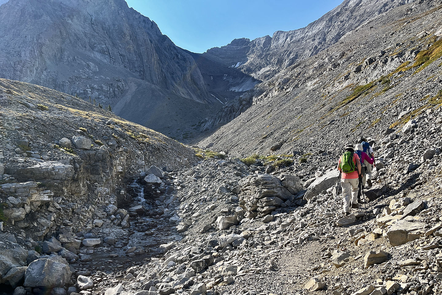
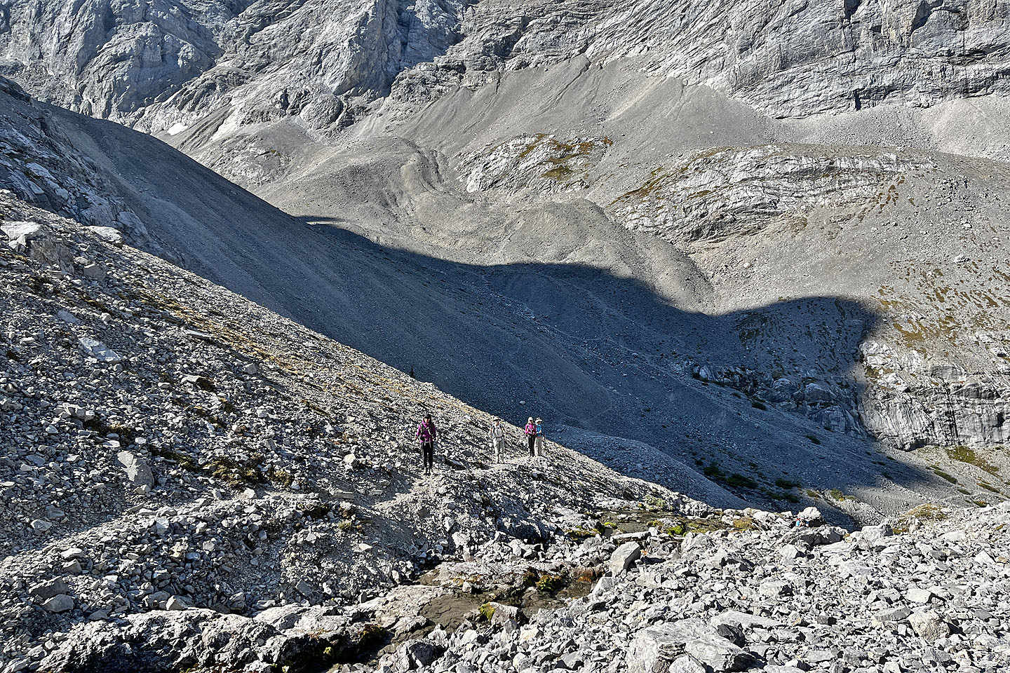
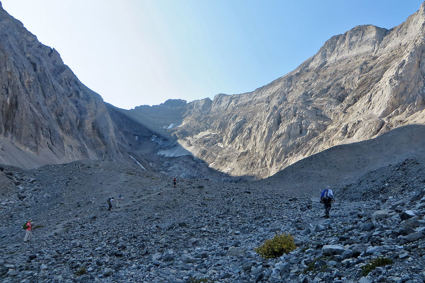 We took different trails to the end
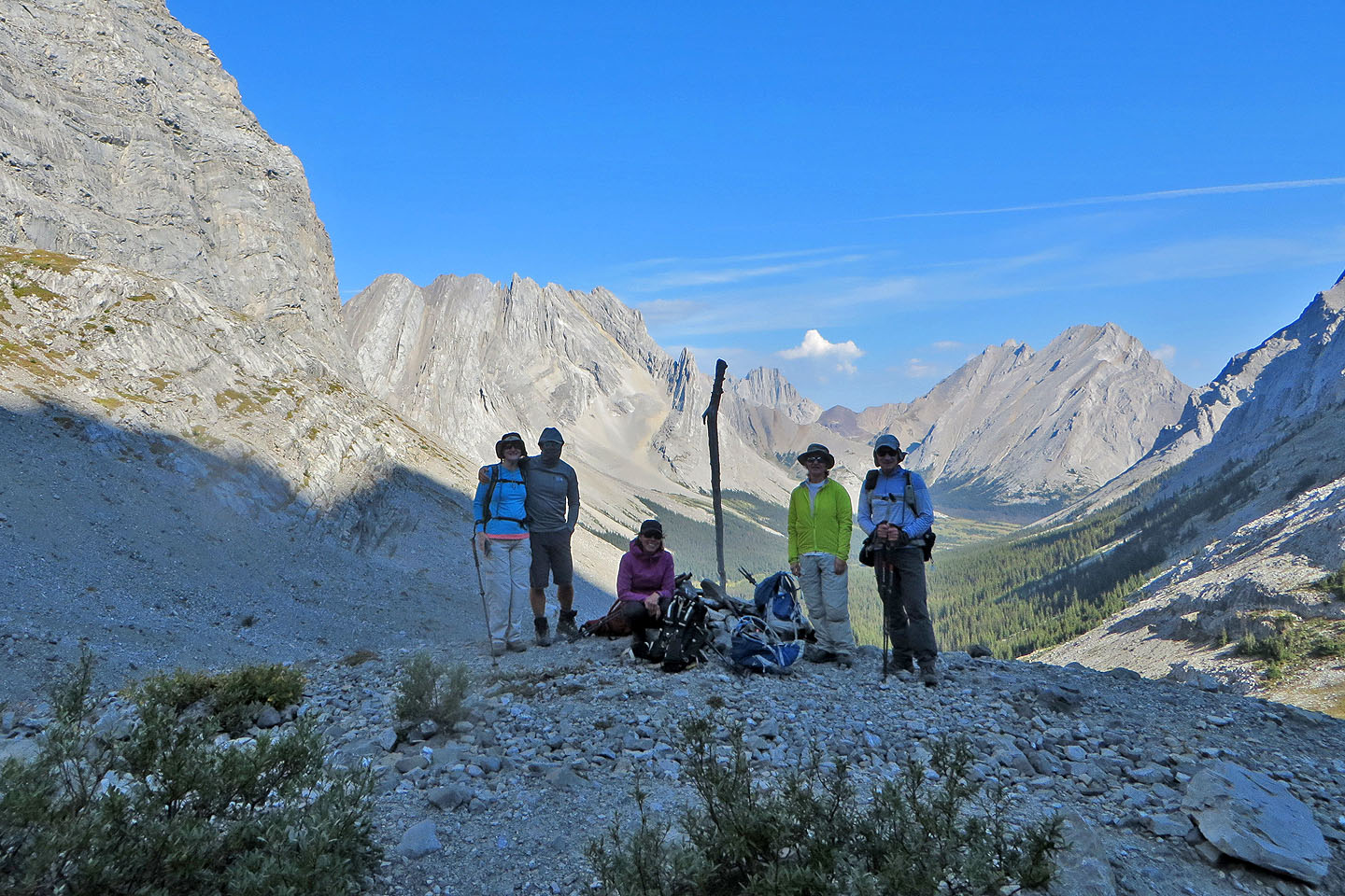
 A stick marks the end of the trail. The glacier is right.
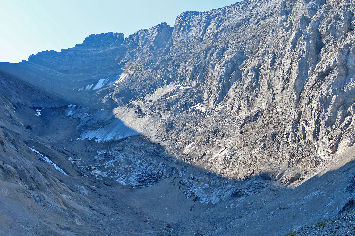 A close look at Rae Glacier. Apparently it has shrunk 50% in the past hundred years.
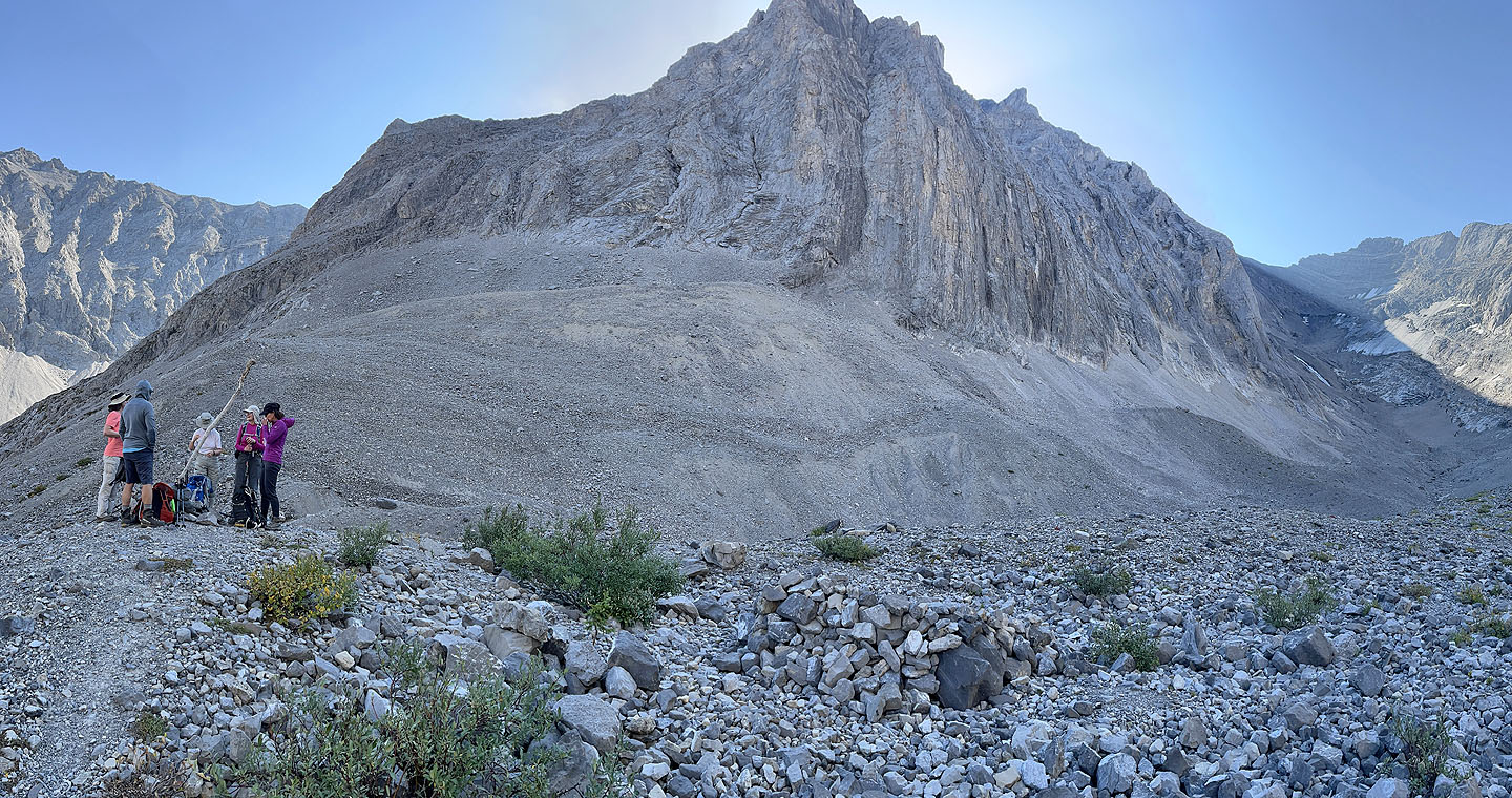
 Standing at the end of the trail
 We returned to the creek and headed to a path right of the waterfalls. Jonathan appears lower right.
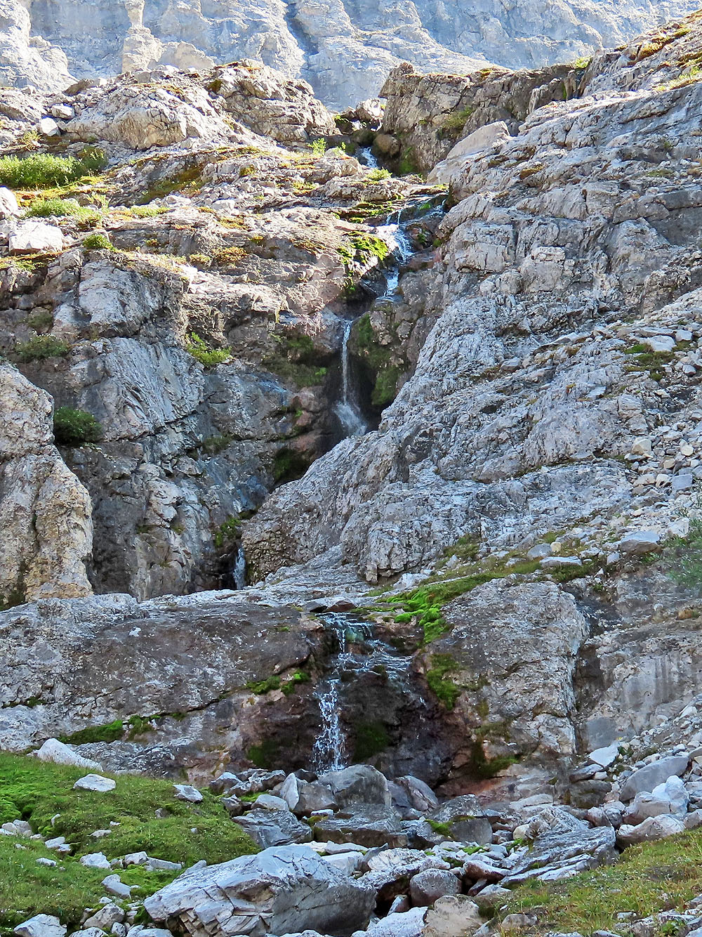
The waterfalls
 Coming up the trail next to the falls
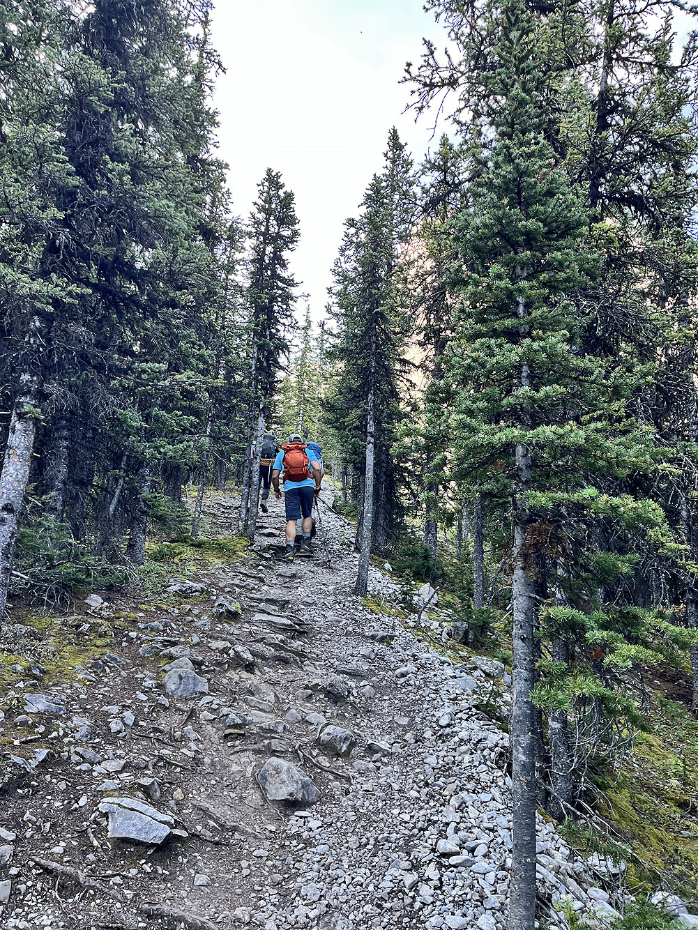
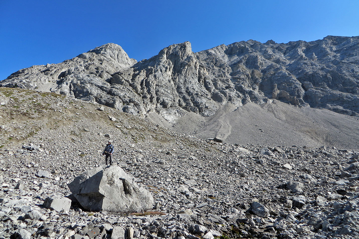 I stopped to climb a boulder before continuing up the shoulder
 Looking back
 It begins to level off near the top
 We took a break on the rocks on top
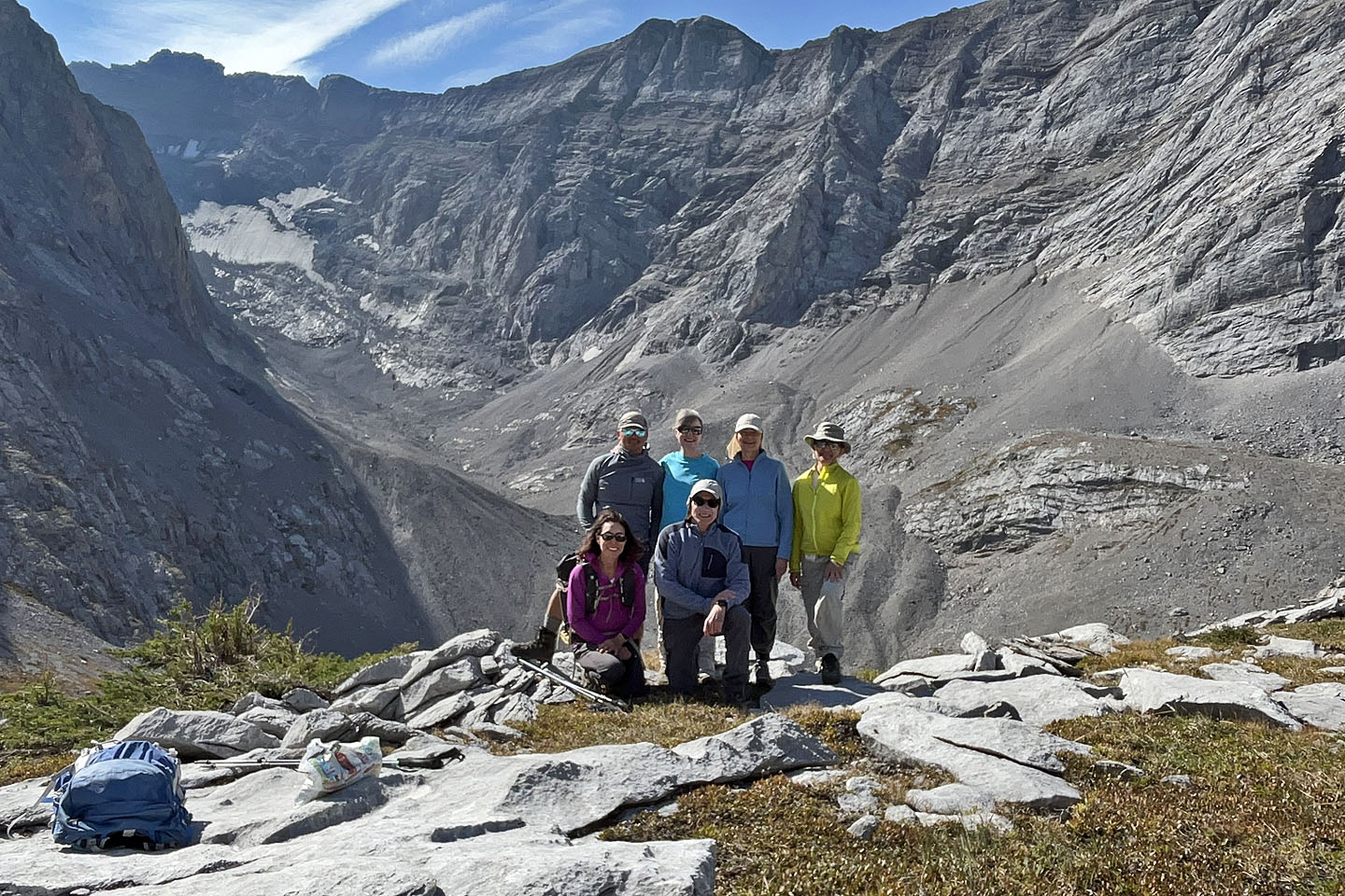 Back: Jonathan, Bernadette, Dinah, Zora. Front: Wendy, me
 Heading back down
 Back on the trail by the creek
 We watched pikas scurrying in the rocks by the trail to the parking lot (mouse over to see one)
 82 J/11 Kananaskis Lake, 82 J/11 Mount Rae