bobspirko.ca | Home | Canada Trips | US Trips | Hiking | Snowshoeing | MAP | About
Picklejar Lakes and “Picklejar Hill”
Kananaskis, Alberta
October 10, 2020
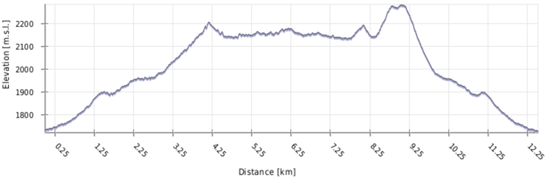
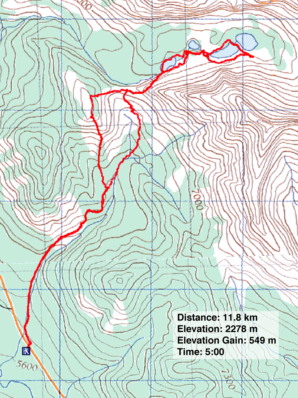
Distance: 11.8 km (7.3 mi)
Cumulative Elevation Gain: 744 m (2441 ft)
Nestled in a narrow, alpine valley are a string of four small lakes: Picklejar Lakes. Judging by the surfeit of cars I've seen at the trailhead some days, the lakes are not only popular but could be overpopulated. They attract hikers and anglers as well as hunters during the hunting season.
Dinah had never seen the lakes, and I could remember little of my trip 20 years ago. Aside from revisiting the lakes, I wanted to climb a hill that I hoped held a commanding view of the valley where the lakes lay.
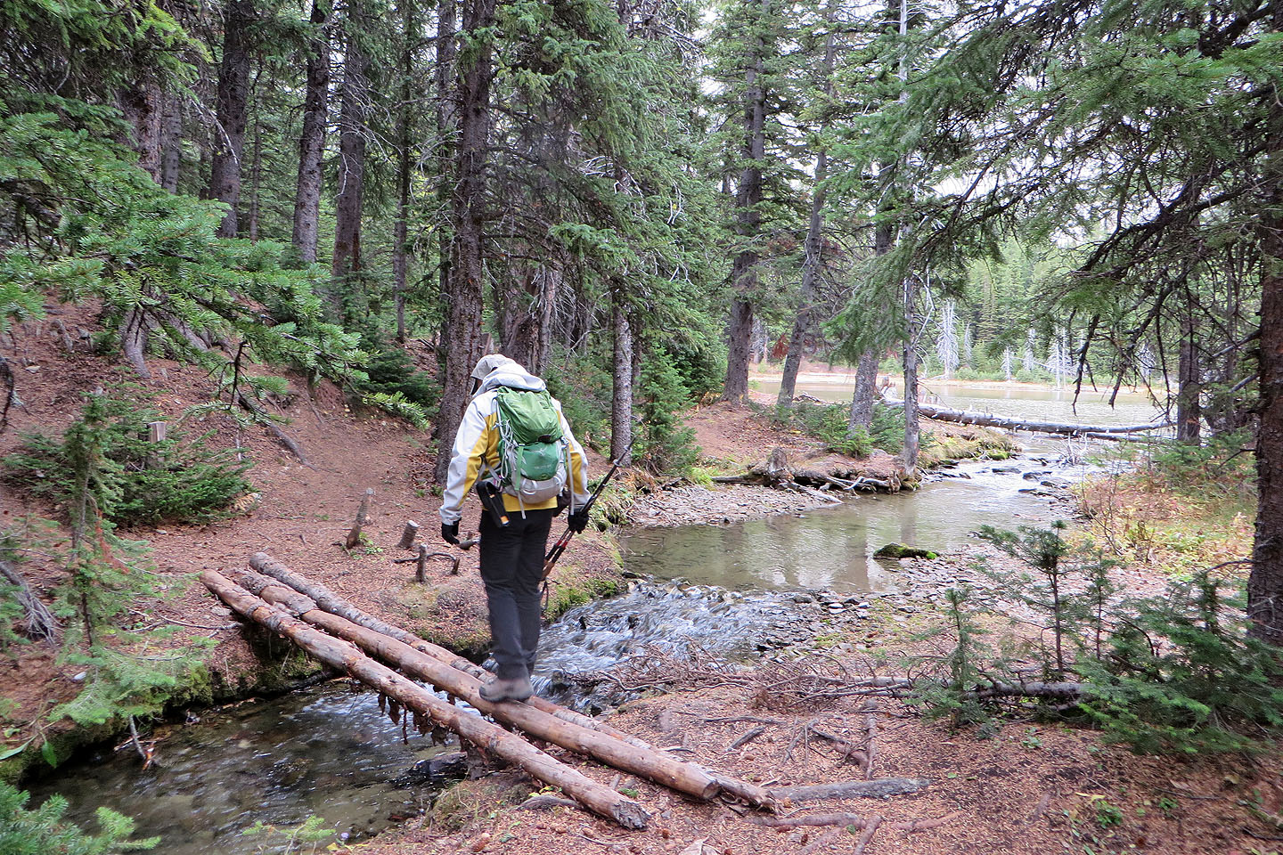
From Lantern Creek day-use area, we crossed the road and started up the trail. It quickly climbs before easing off as it traverses hillside meadows. Then it drops into the trees, crosses a boardwalk, and runs over a pass to the valley bearing the lakes.
Trails are everywhere in the valley, so you can design your own course. All the lakes can be reached by paths on the south shore, but only the first and third lakes have north shore trails. Each lake has its own characteristics, so visit them all.
We hiked to the end of the fourth lake before turning around. We returned to the first lake and hiked back up the pass. There we separated. Dinah returned on the trail, while I climbed the hill from the pass. Although technically easy, I don't recommend casual hikers try it. There is no trail. “Picklejar Hill,” as I call it, rises 140 m above the pass.
Following animal trails and clearings, I found the ascent easy, even pleasant, although steeper than I expected. Whenever I encountered trees or bushes, I went left and always found a corridor. I focused on reaching an outcrop just below the summit. While the entire west slope is treed, the outcrop provides a window to look down at the valley. I could view most of the valley, but rises hid the second and fourth lakes.
From the outcrop, the ridgetop is only a few minutes away. I welcomed the open meadow on top and quickly crossed the grassy ridge to the summit. I spent several minutes taking photos, or trying to as the wind and the rain were wreaking havoc with my camera lens.
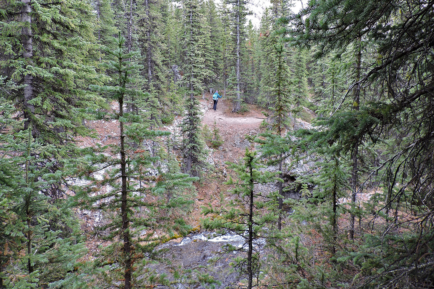
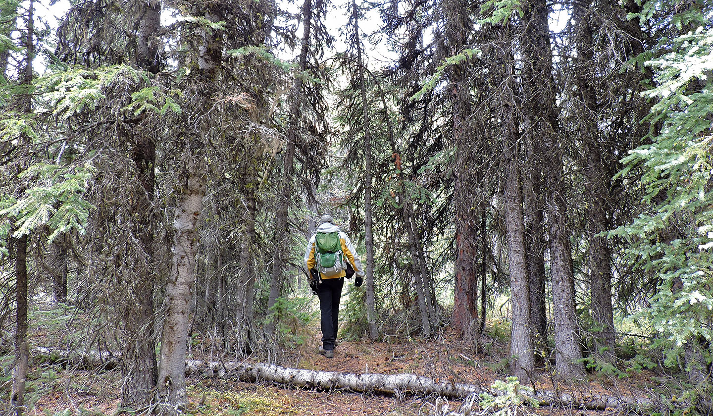
From the top, I started down a grassy gully. The grassy ridge on my left looked more open, but the gully was closer and appeared fine. I encountered some bushwhacking at the bottom but soon reached the trail at the boardwalk. I followed the trail back to find Dinah waiting patiently in the car.
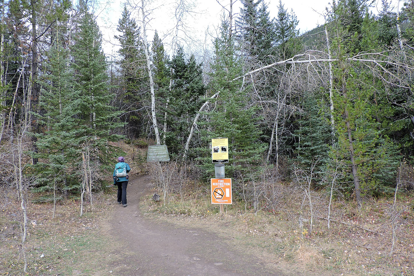
Starting up the trail. A sign warns that this is a bear habitat.
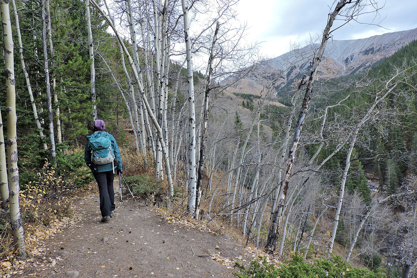
The trail quickly climbs above a valley
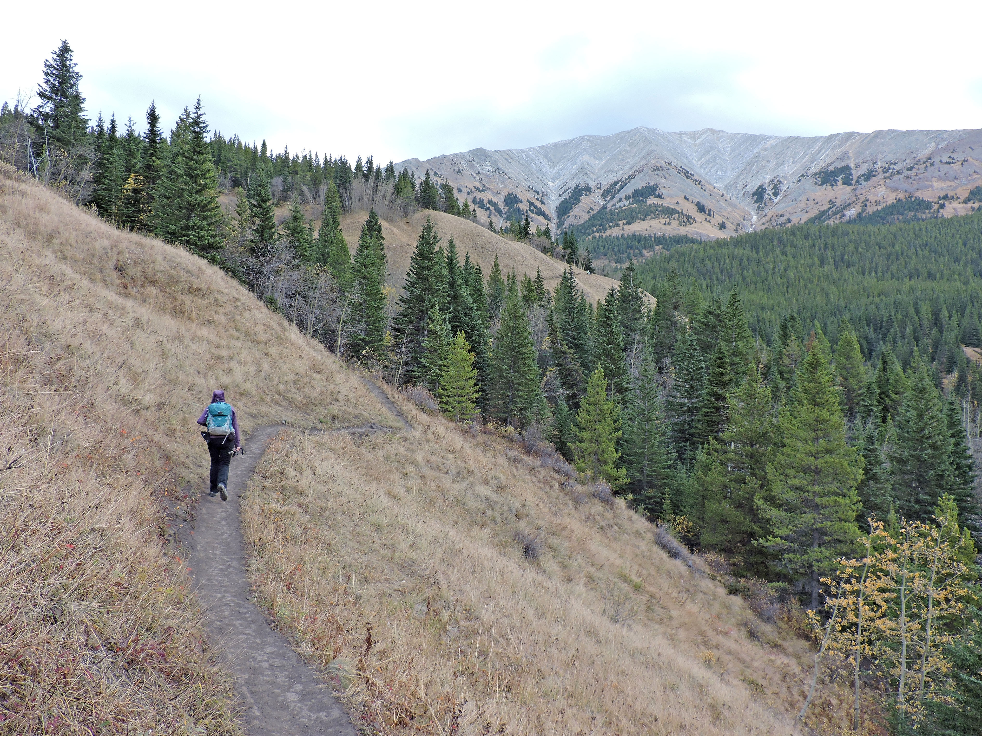
The trail cuts across meadows before climbing to the pass
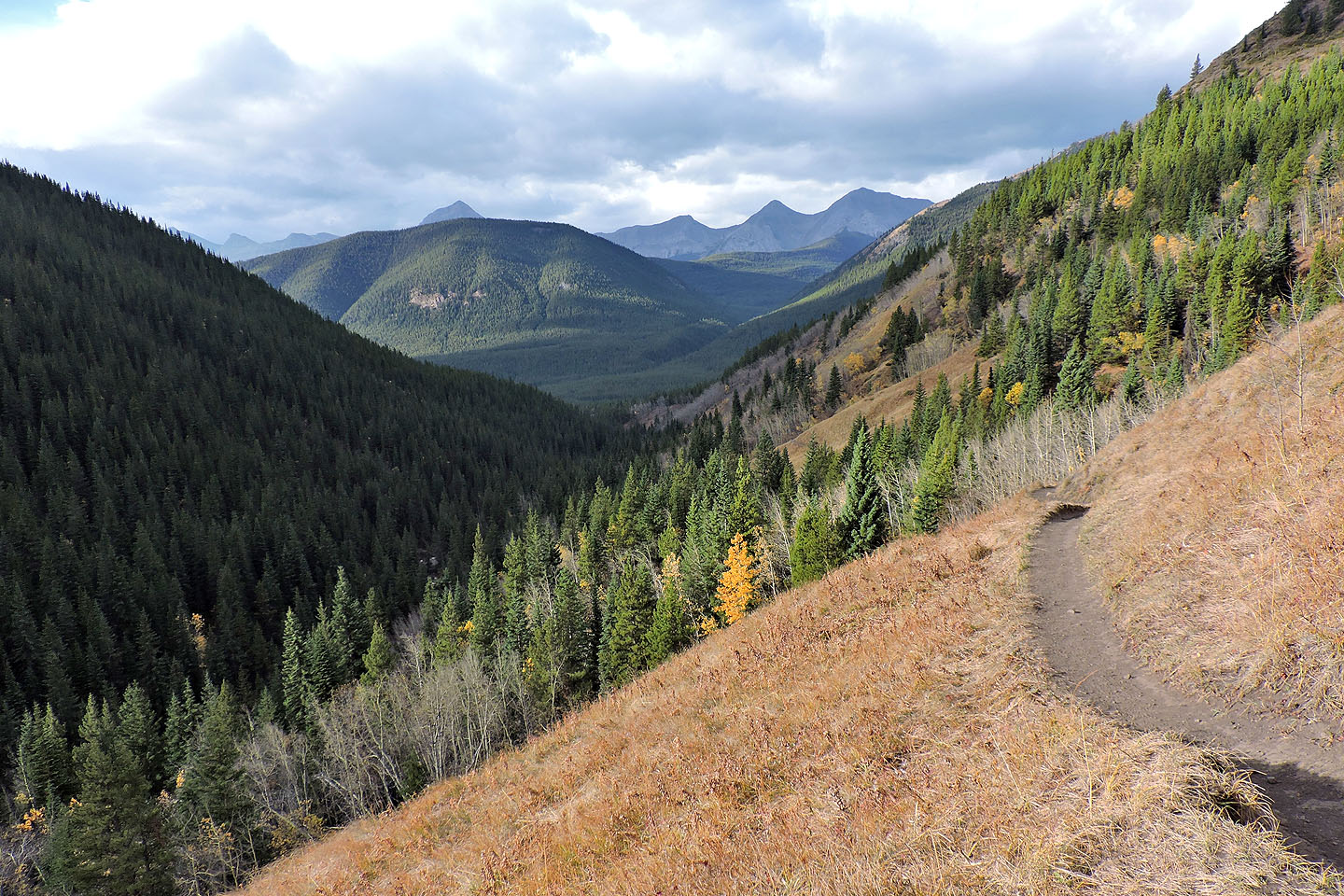
Looking back
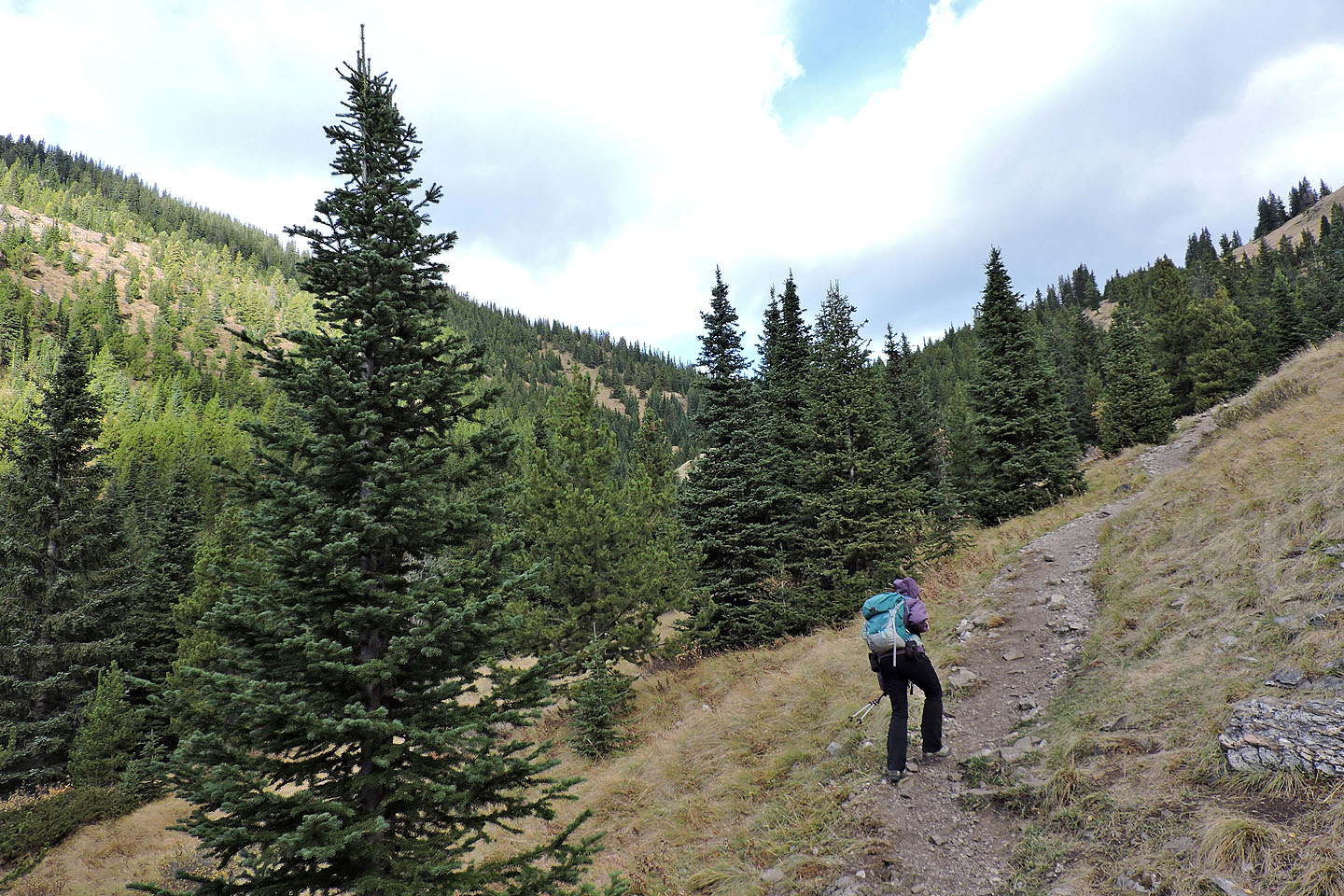
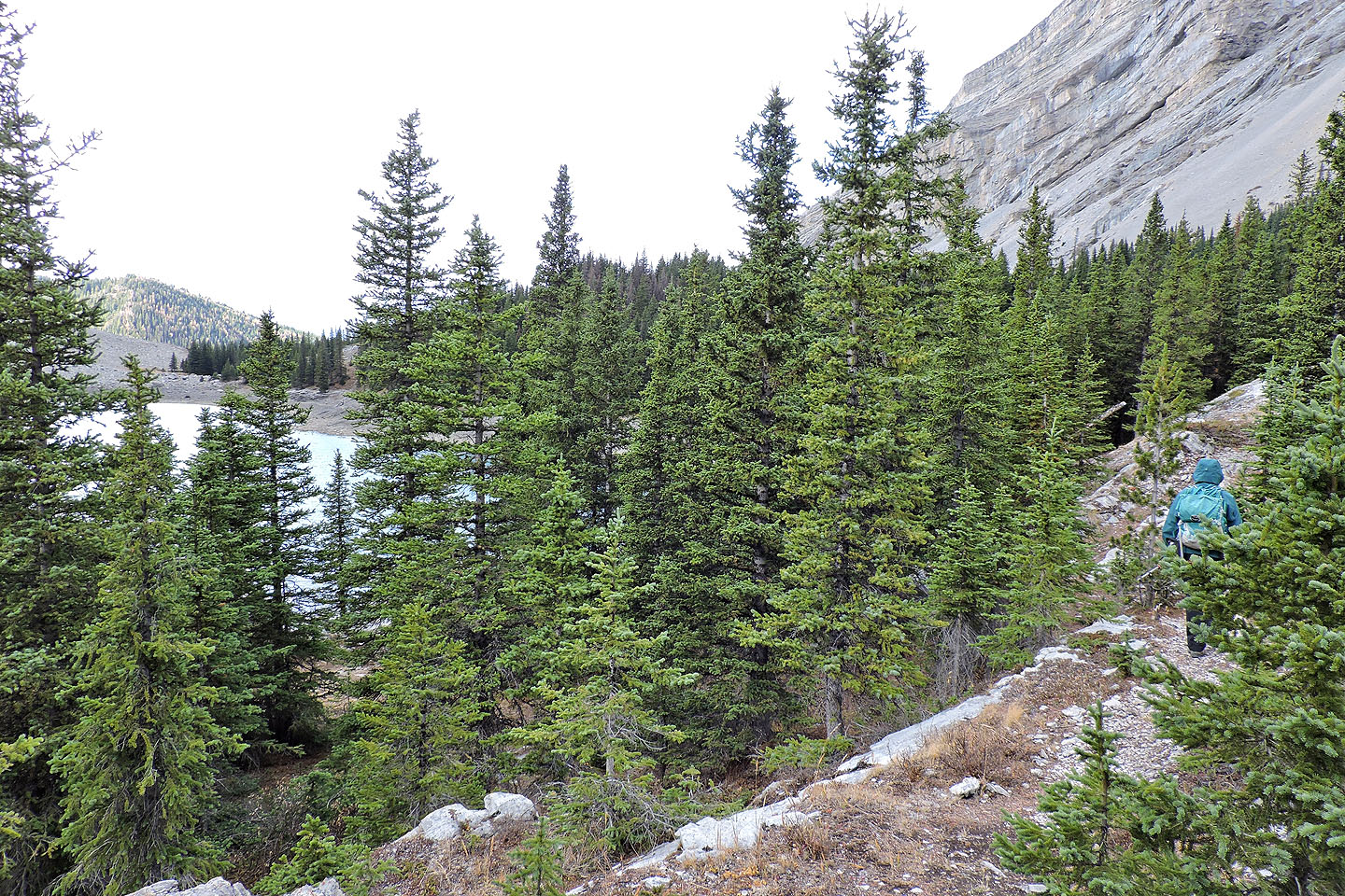
Hiking to the pass
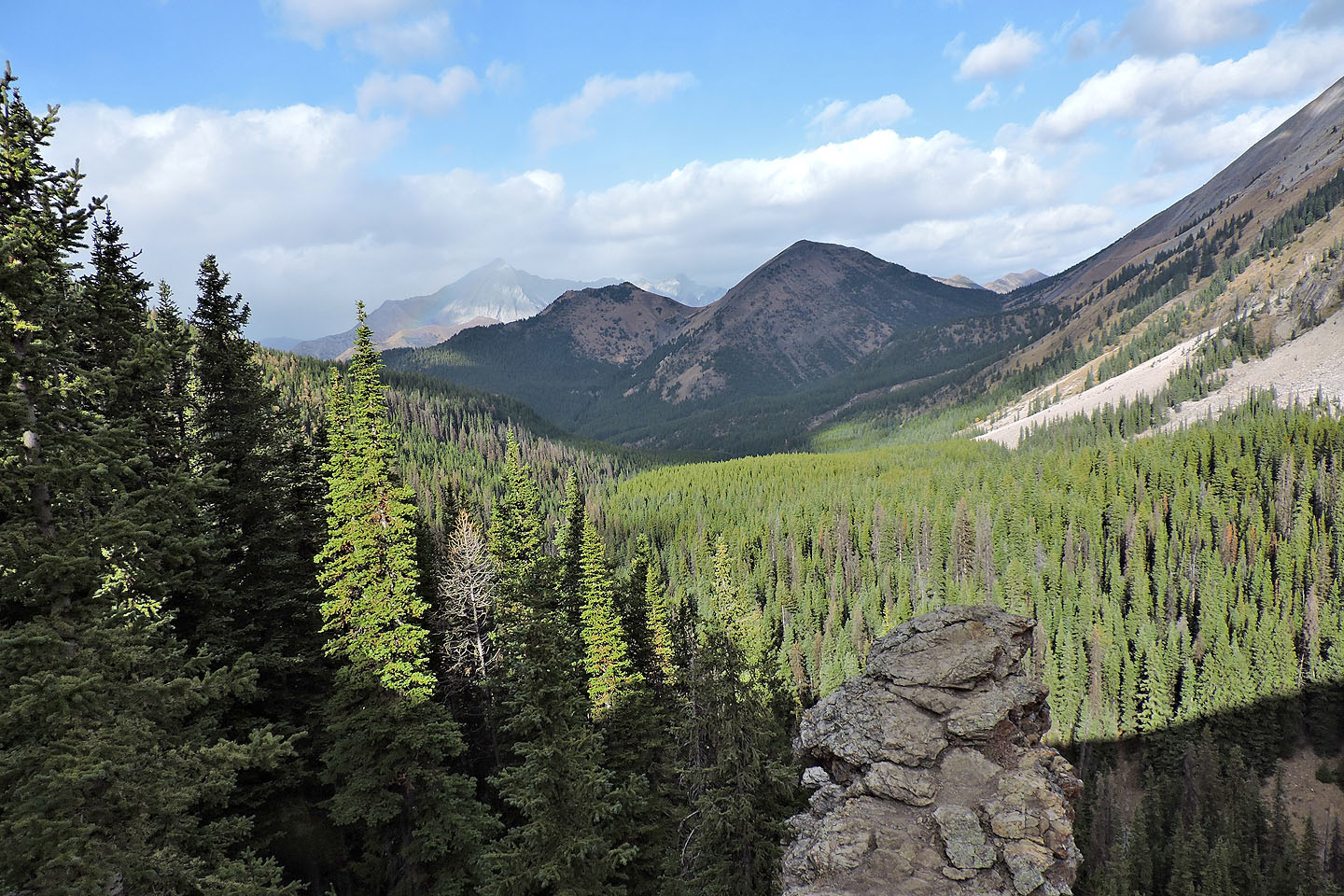
Above the pass, we had a view of Picklejar Hill I later climbed
Just before the trail descends to the lake, there's a view of South Mist Hills
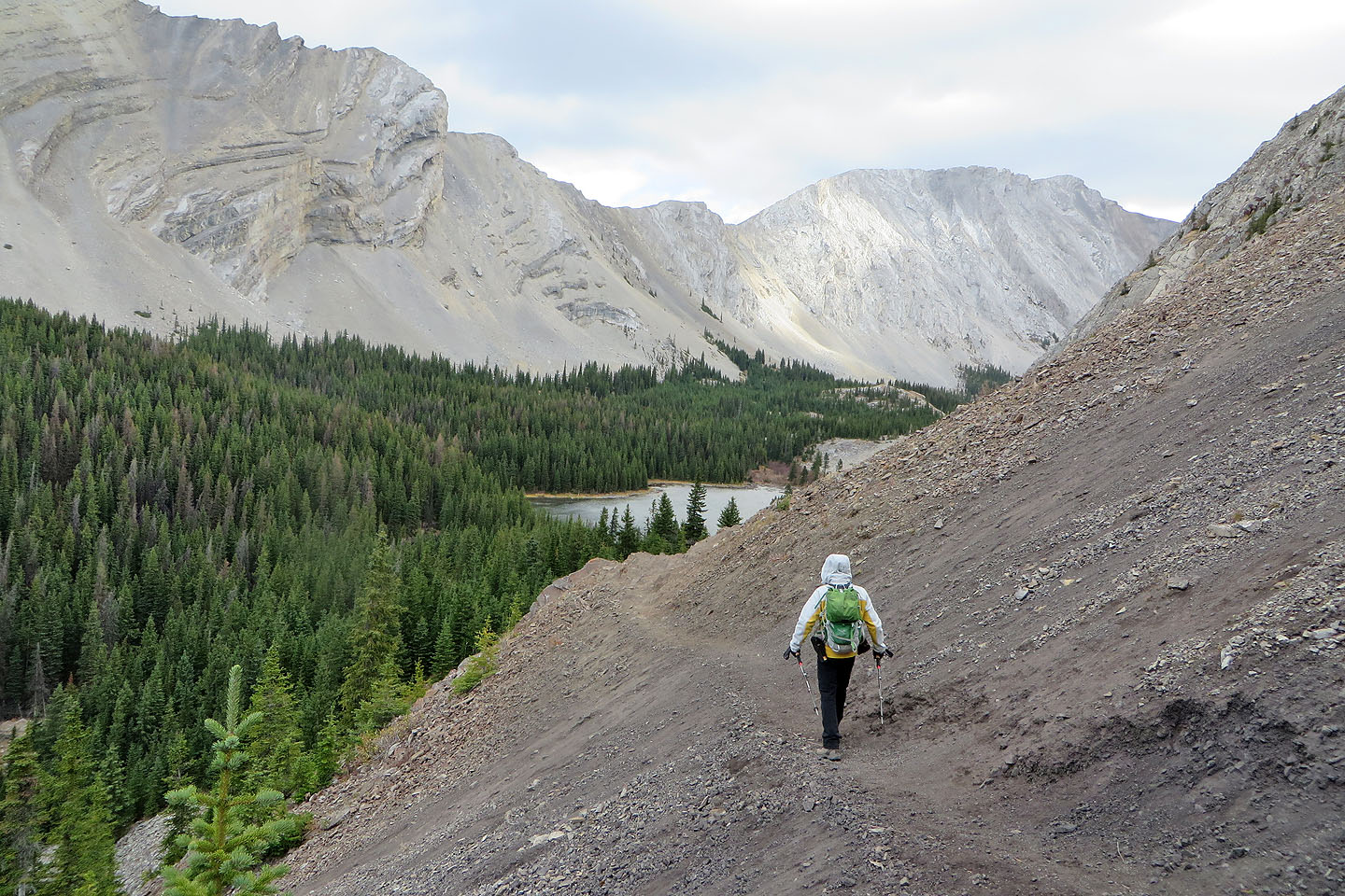
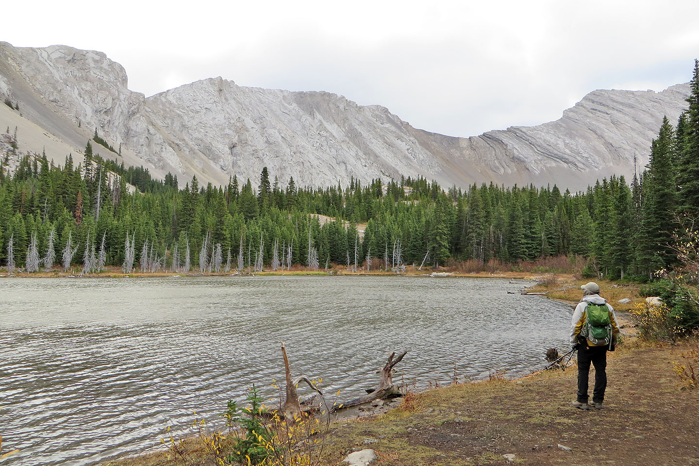
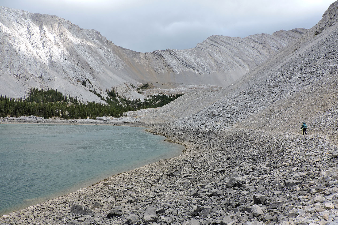
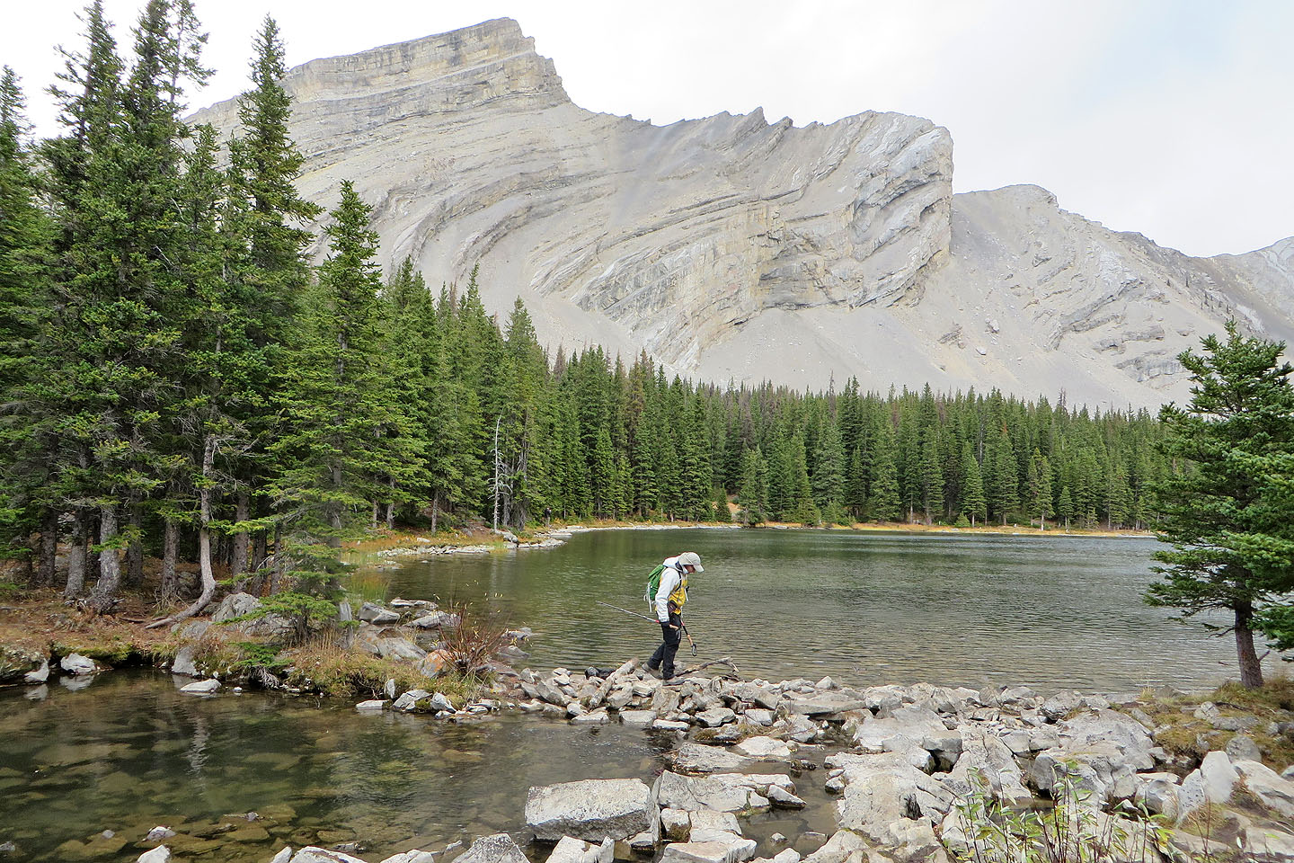
The first lake can also be seen
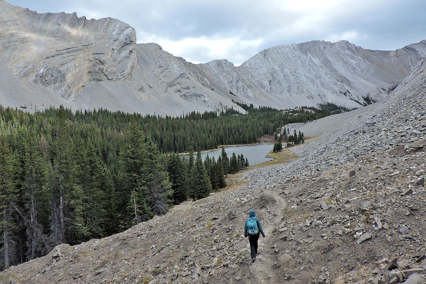
We'll soon reach the first lake
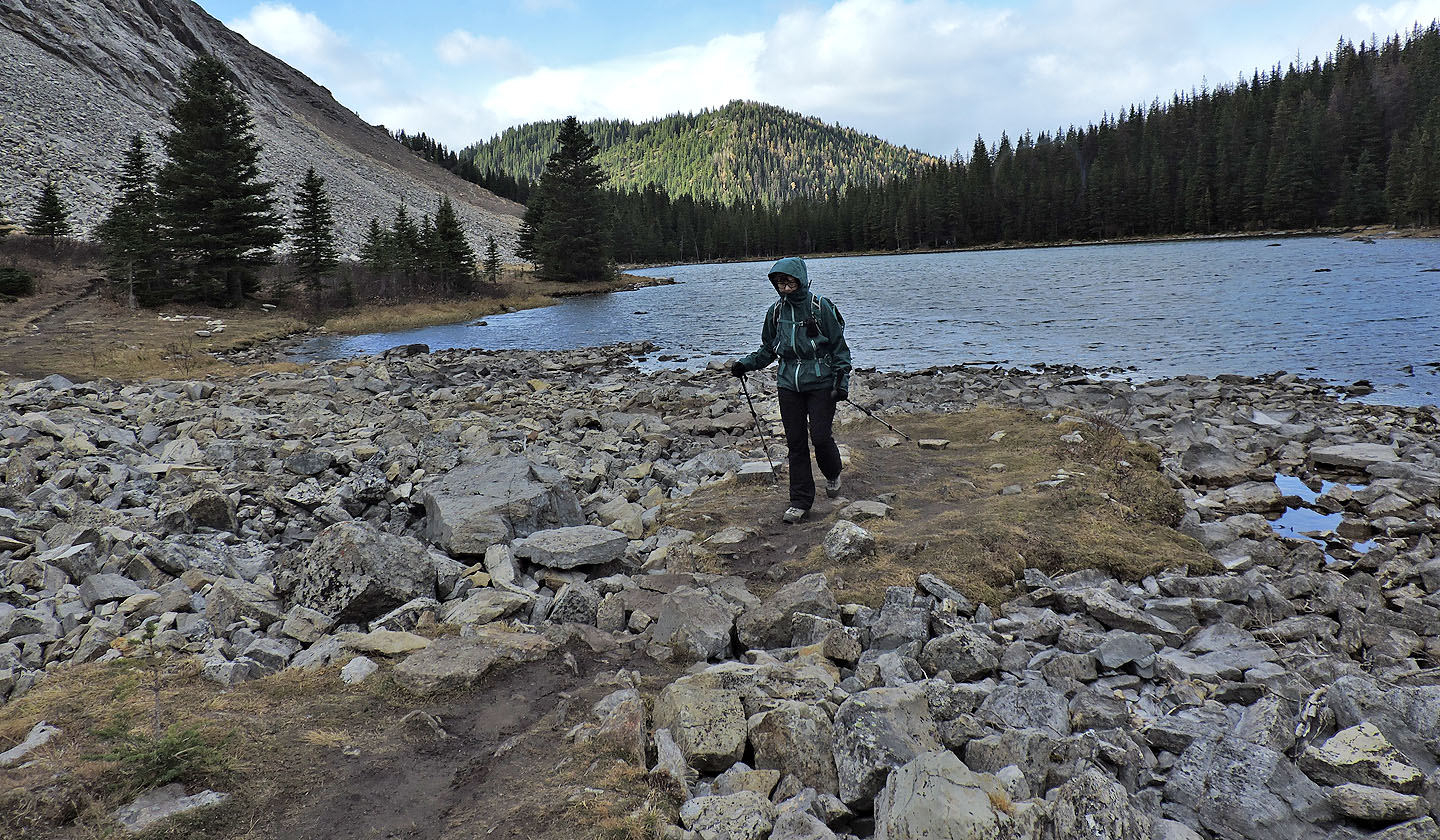
Looking back after reaching the end of the first lake. Picklejar Hill appears at the far end of the lake.
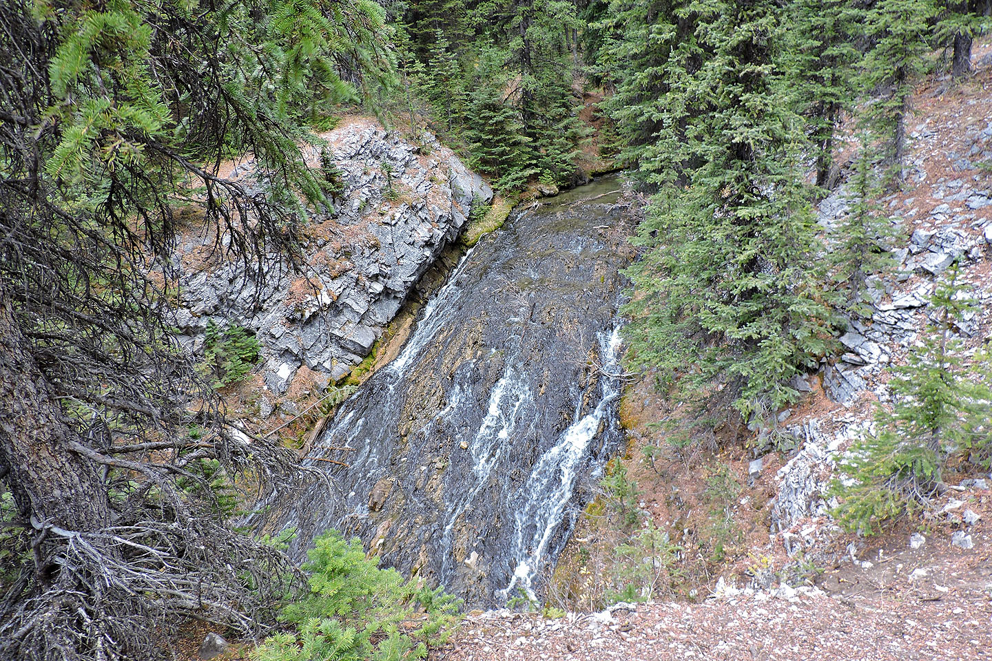
Waterfall between the first and second lake
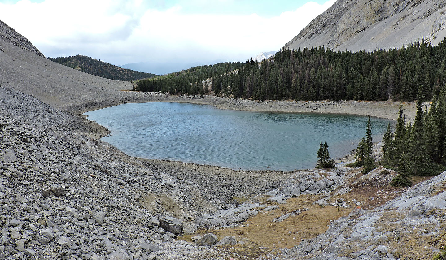
Ringed by trees, the second lake is the least scenic
Looking down at the third lake
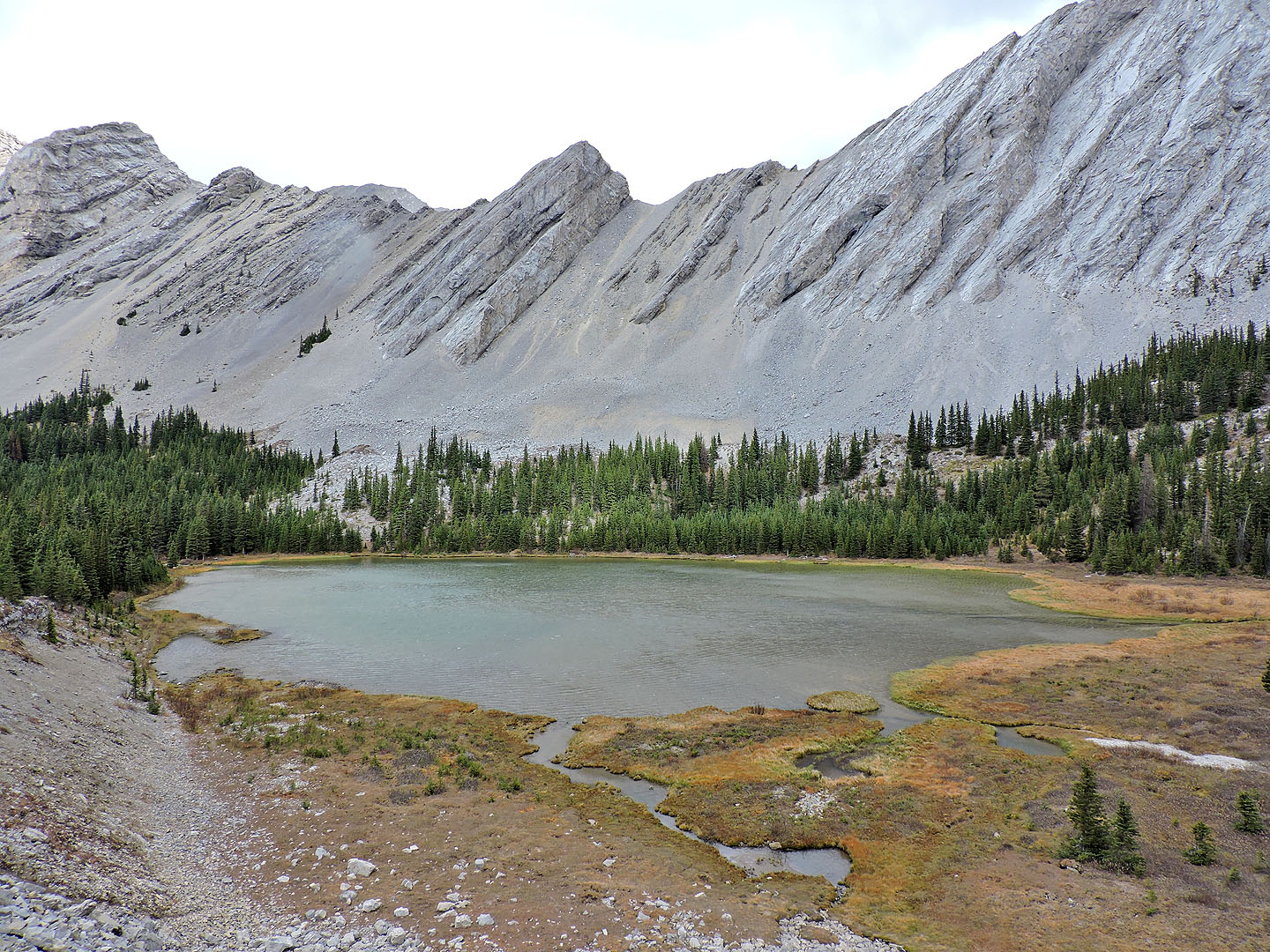
The third lake is the prettiest lake
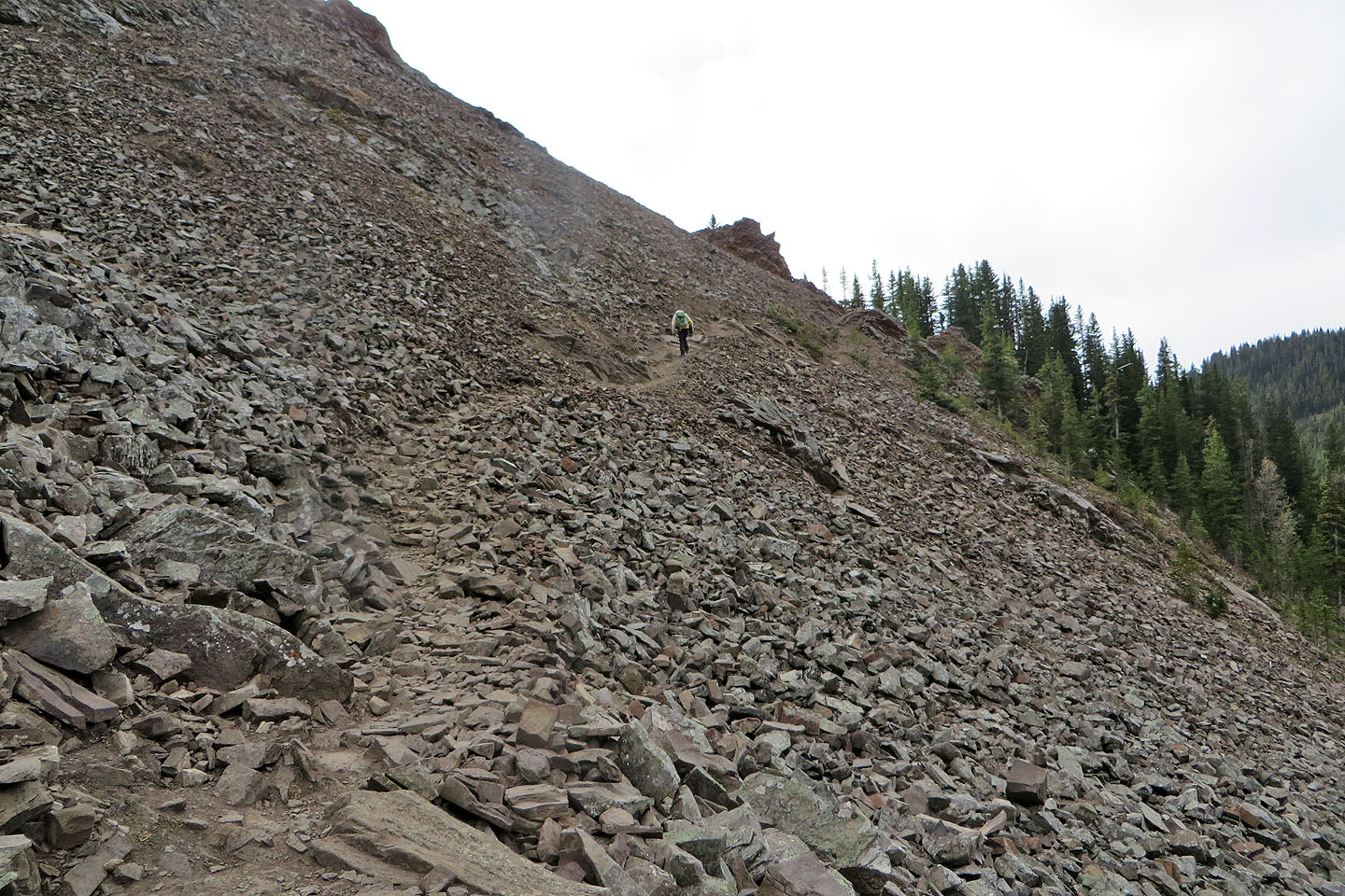
A trail in scree follows the south shore of the lake
Almost at the end of the third lake
Looking back at the third lake
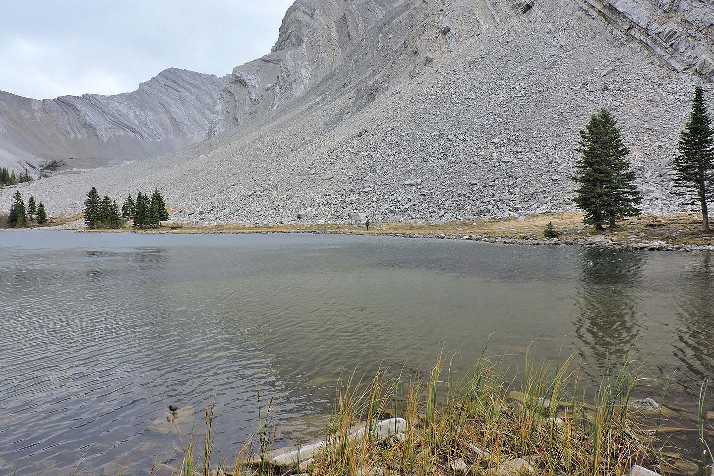
The fourth lake. Above it in the centre, the steep scree slope climbs to the pass to Junction Creek.
We followed the trail that runs around the north side of the third lake
At the end of the second lake, I crossed a stream to follow a trail on the north shore of the first lake
Dinah continued along the south shore trail
Dinah (centre) appears on the far shore
Dinah reached the far end of the lake just before I did
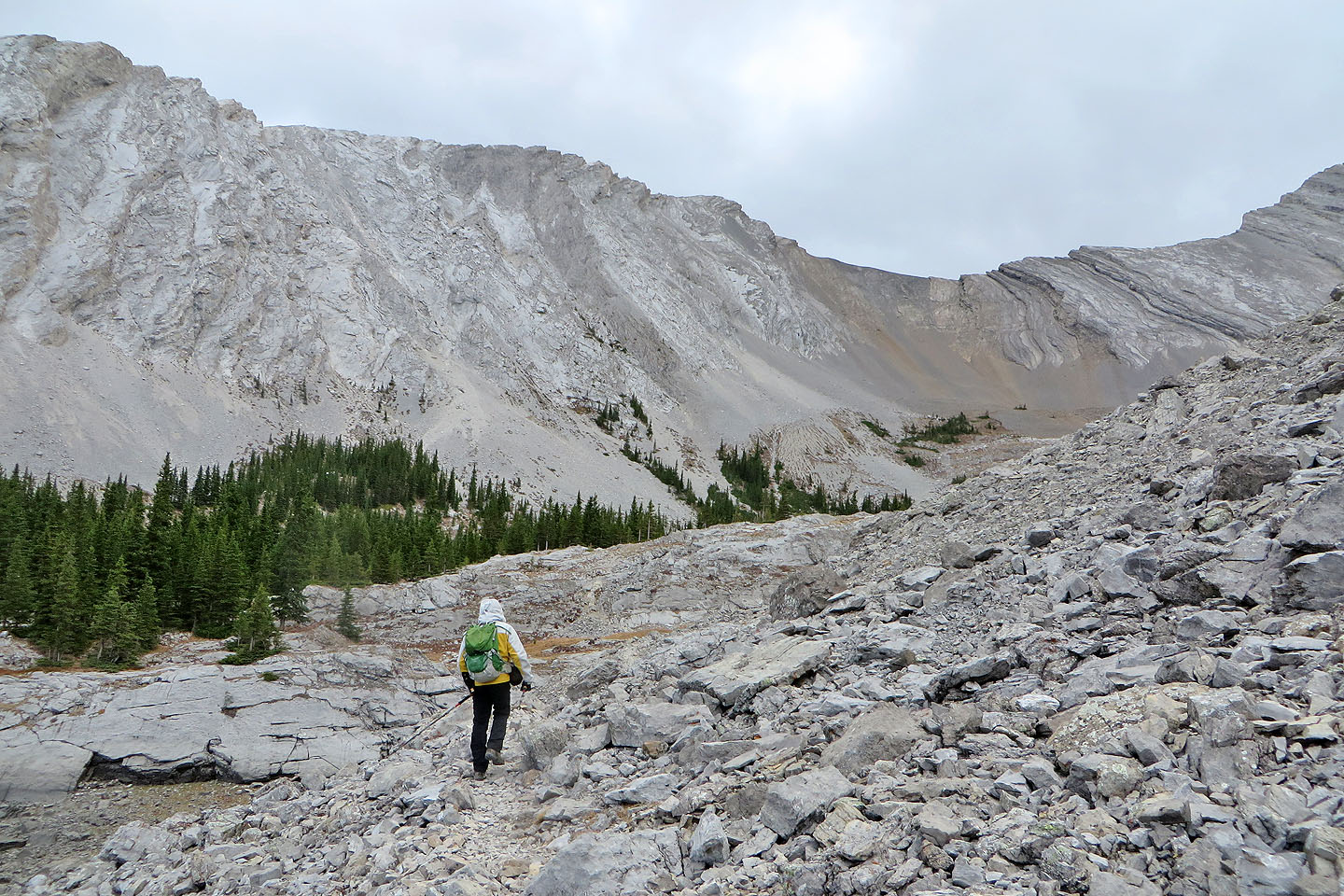
We climbed 50 m back up to the pass
Starting up Picklejar Hill from the pass
I easily followed clearings in the trees
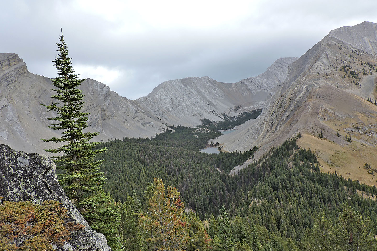
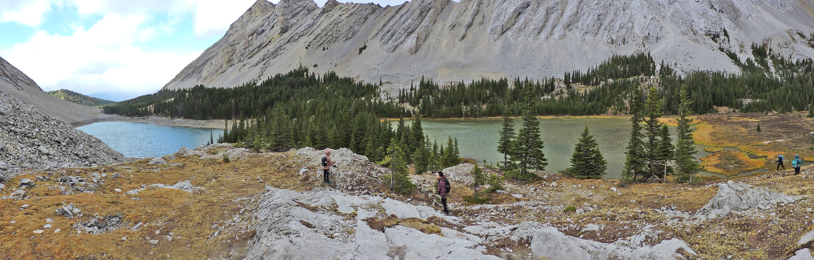
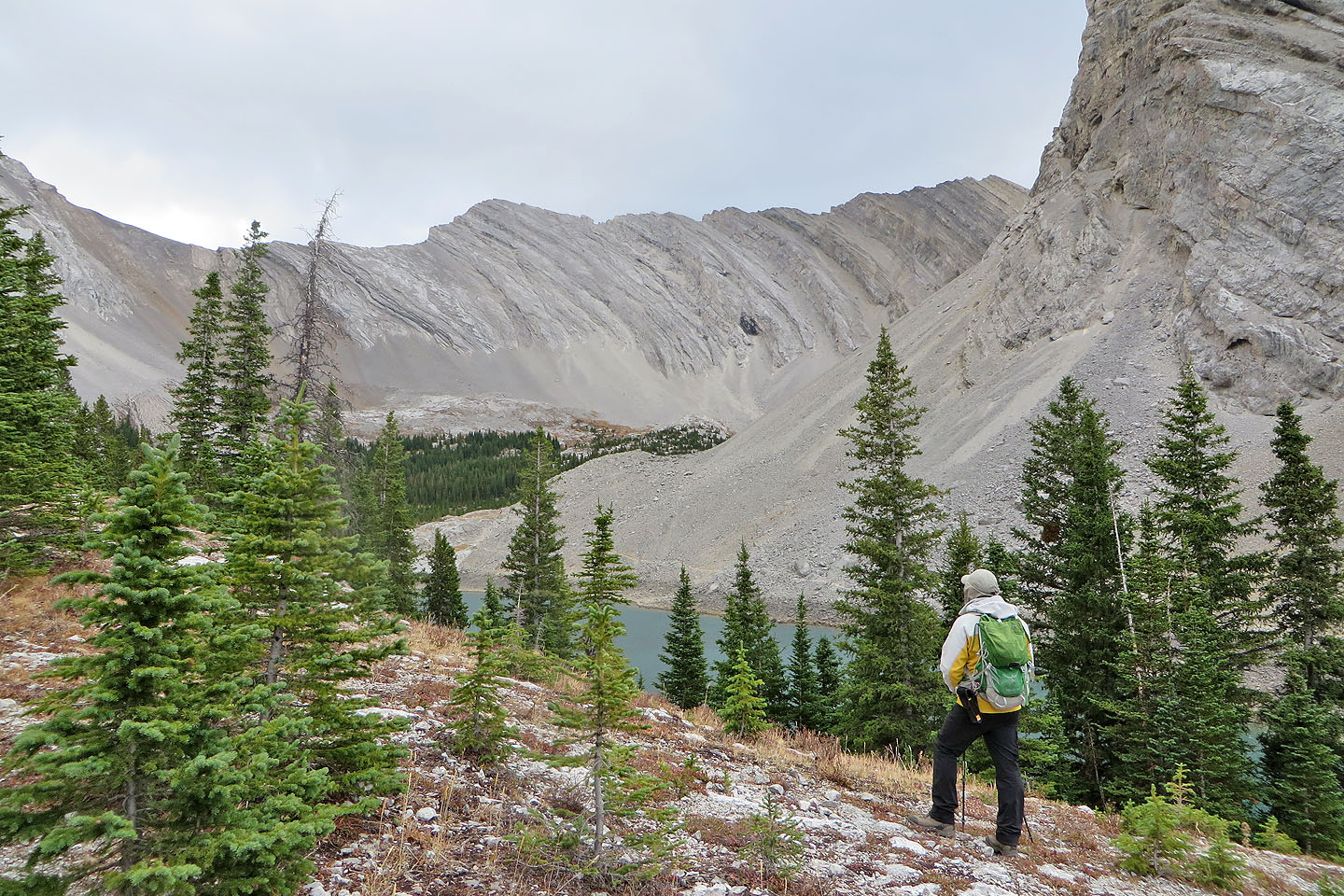
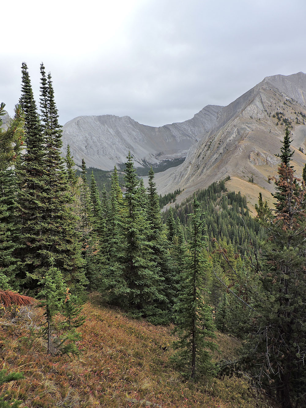
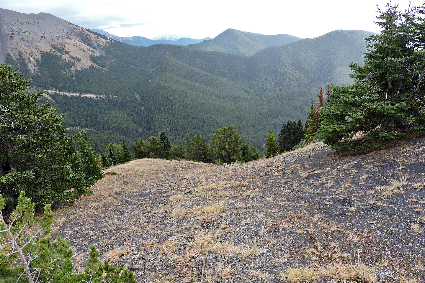
From an outcrop just below the summit, I had a clear view of the first and third lakes
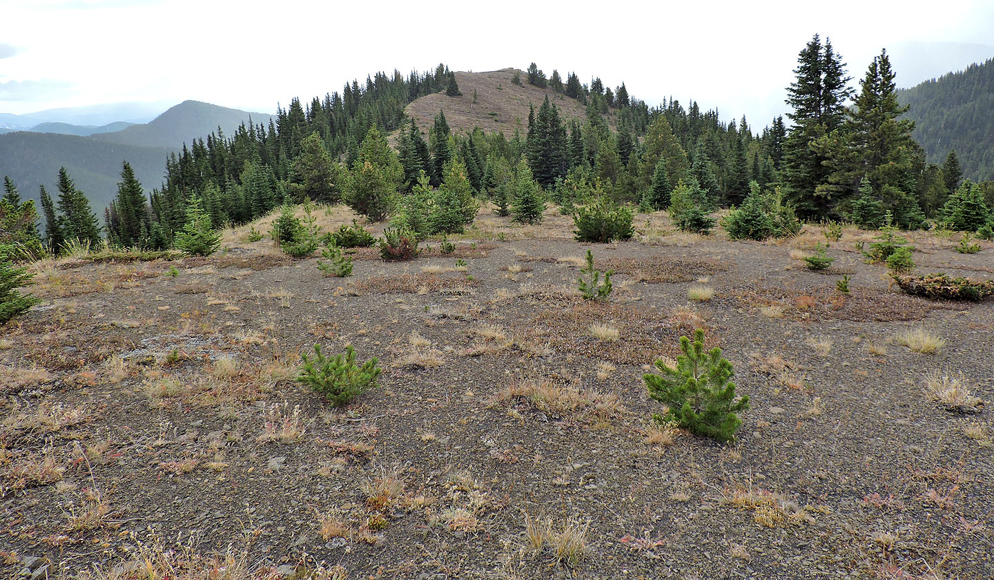
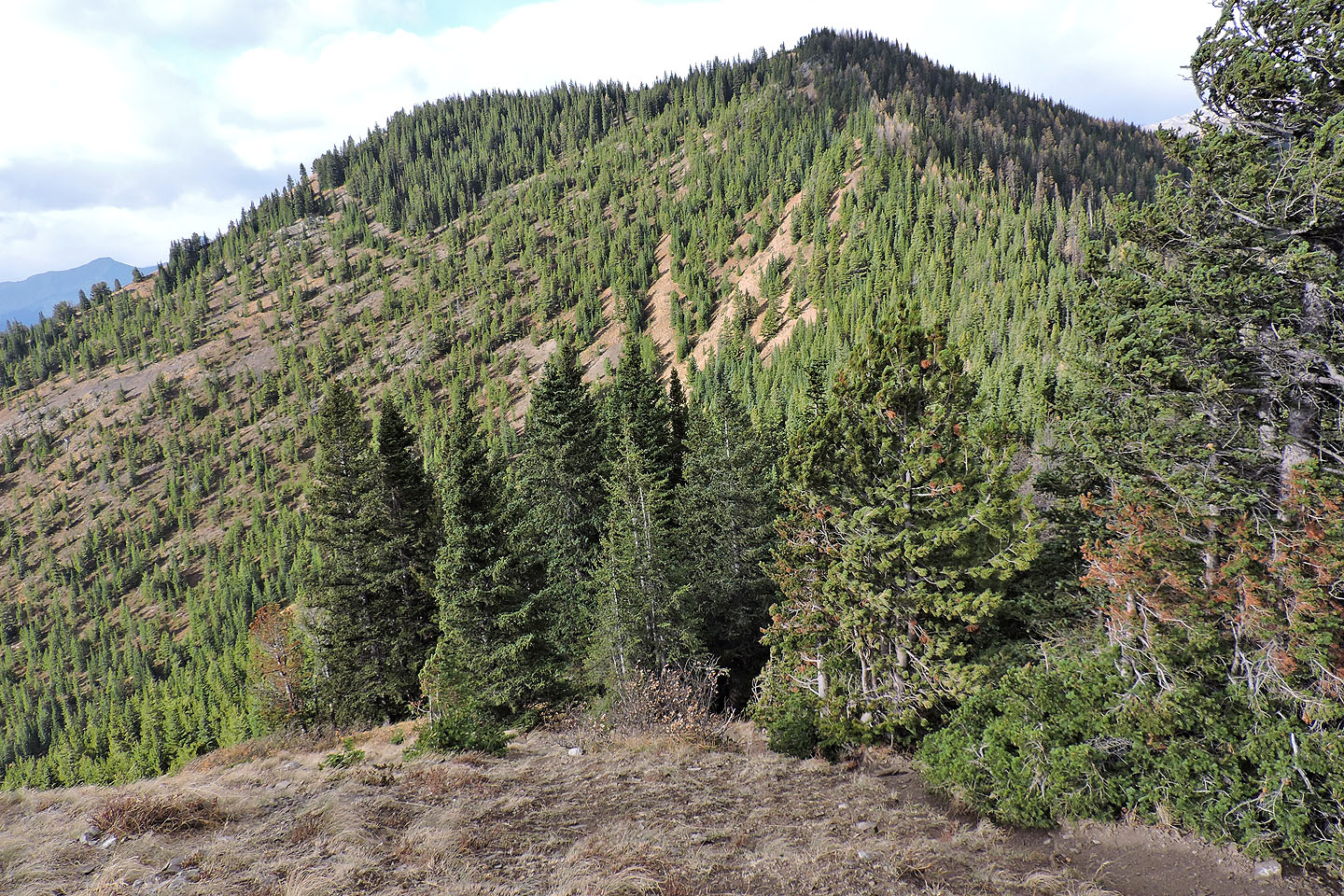
The summit was a short distance away

I caught another look at the lakes through a break in the trees
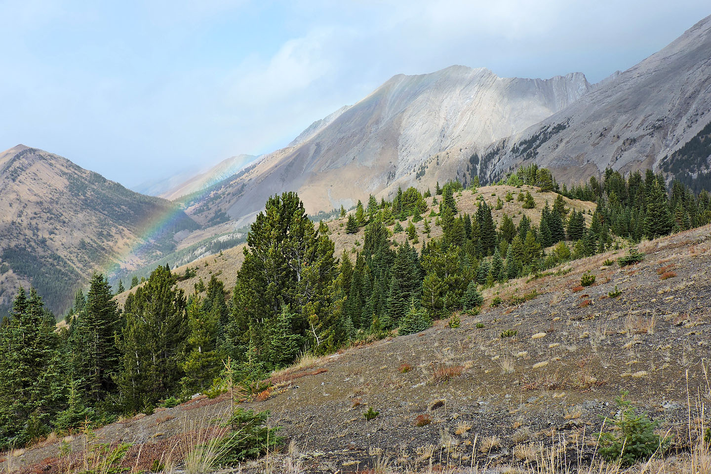
Looking back: a rainbow runs across the one of the South Mist Hills
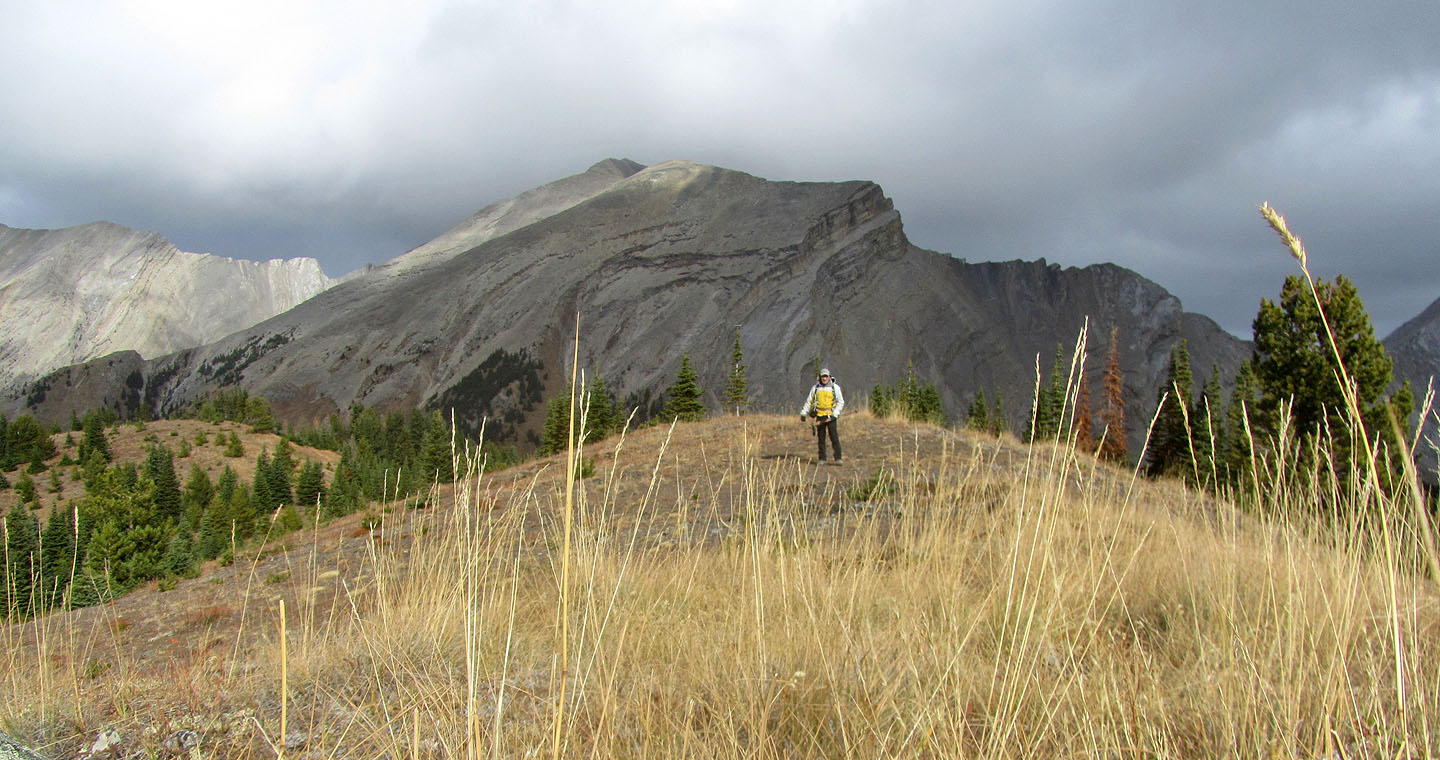
On top of the hill
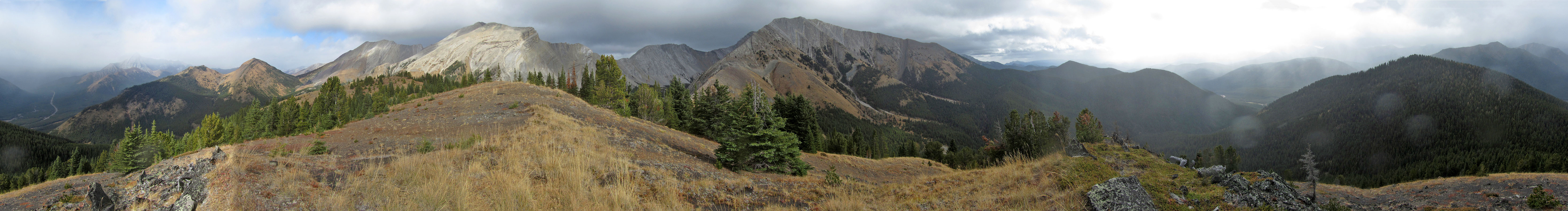
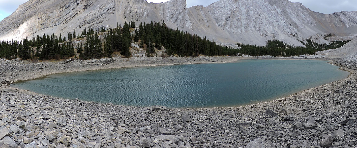
Panorama from the hilltop
From the summit, I started down a grassy slope
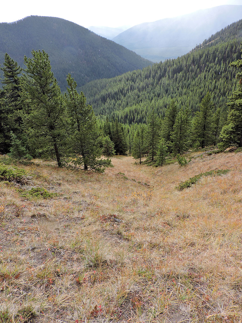
The grassy strip runs well down the slope before entering trees
82 J /11 Mount Rae, 82 J/7 Mount Head