bobspirko.ca | Home | Canada Trips | US Trips | Hiking | Snowshoeing | MAP | About
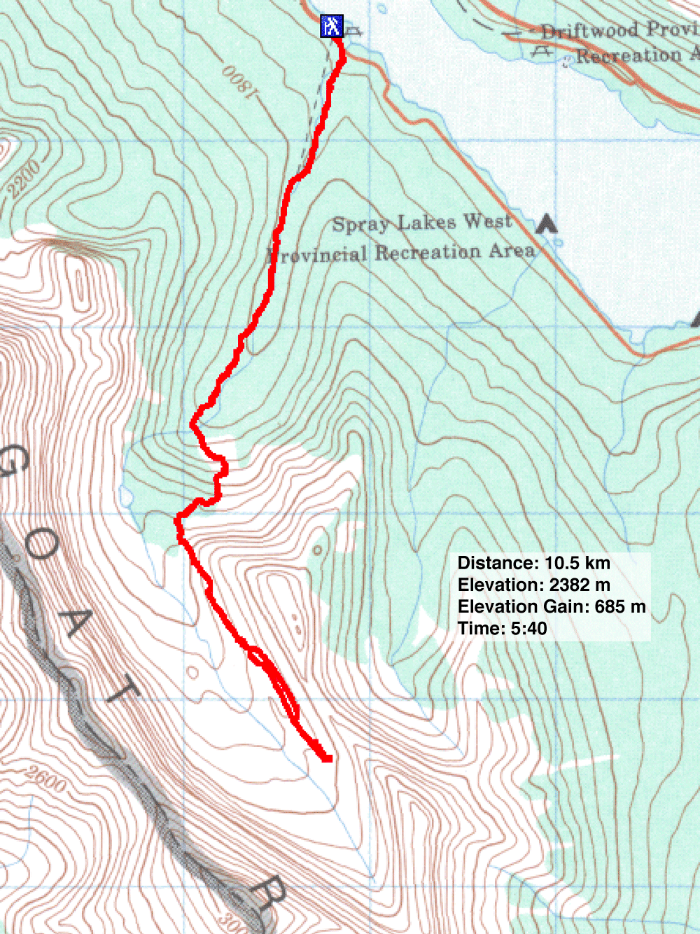
Old Goat Glacier
Kananaskis, Alberta
August 10, 2025
Distance: 10.5 km (6.5 mi)
Cumulative Elevation Gain: 782 m (2566 ft)
Dinah and I prefer summit objectives, but viewing a glacier from the top of a moraine works for us too. Furthermore, a good trail offers outstanding scenery along the way.
Arriving at the huge parking lot, we were surprised there were no other cars. We followed a short path and a road briefly before coming to a signed trailhead. The trail runs alongside a creek. We followed it through the woods as it gently climbed before breaking out onto a scree slope near a towering waterfall. Further up the trail, we skirted massive boulders and spotted marmots and pikas. The marmots seemed too lazy to move, but the pikas darted among rocks.
Continuing up an open slope, the trail bends right and heads to the top of a forested ridge. There it turns left and reaches the near end of the moraine. We dropped down and got on the moraine.
The trail sticks close to the ridge at first, sometimes close to the right edge where there’s a sheer drop. We passed the beginning of the glacier as well as two tarns. Further along, the ridge loses its crest and becomes amorphous, with the trail disappearing in places.
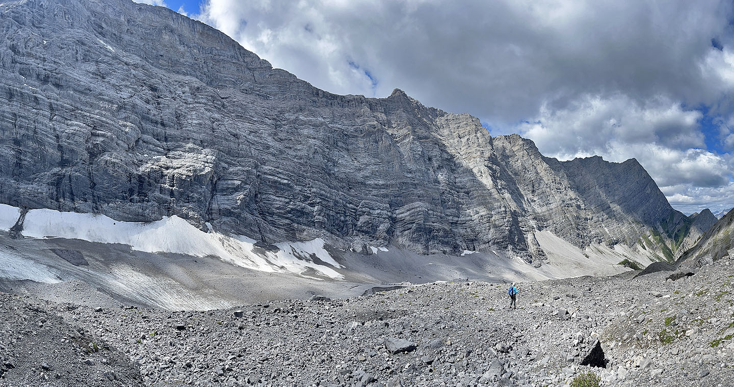
After hiking along the moraine for a kilometre, we reached the top with the bulk of Old Goat Glacier in front of us. After pausing for photos, we started back. Partway along, the gully on the right looked appealing. We dropped down and started following the gully back, enjoying the calm air and broad, flat floor. We continued down easily, even when we transitioned to snow. But when the snow ended and we hit a jumble of rocks, we returned to the trail only 20 m away. We resumed following the trail on the moraine. On the way back, we ran into a few groups coming up.
 From the parking lot, a trail leads to a road to the trailhead
 Starting up the trail
 The trail follows a creek
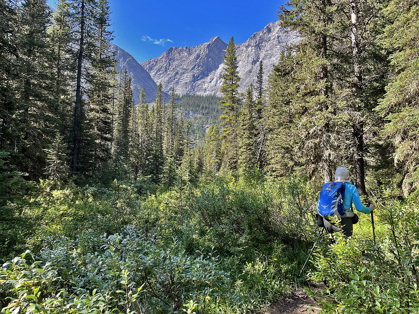 The trail leads to the treed ridge in the centre
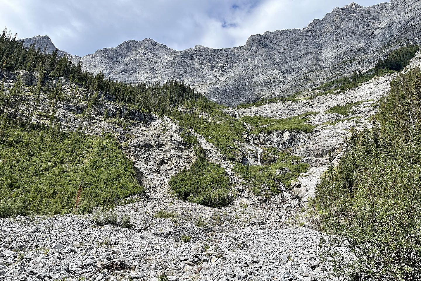 The trail passes by a waterfall (mouse over for a close-up)
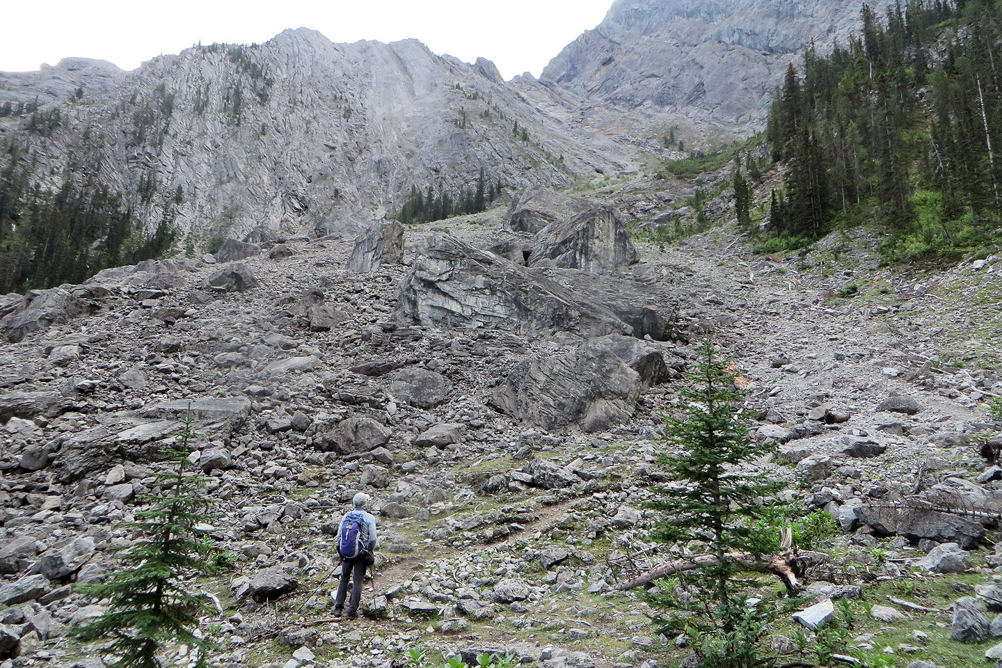
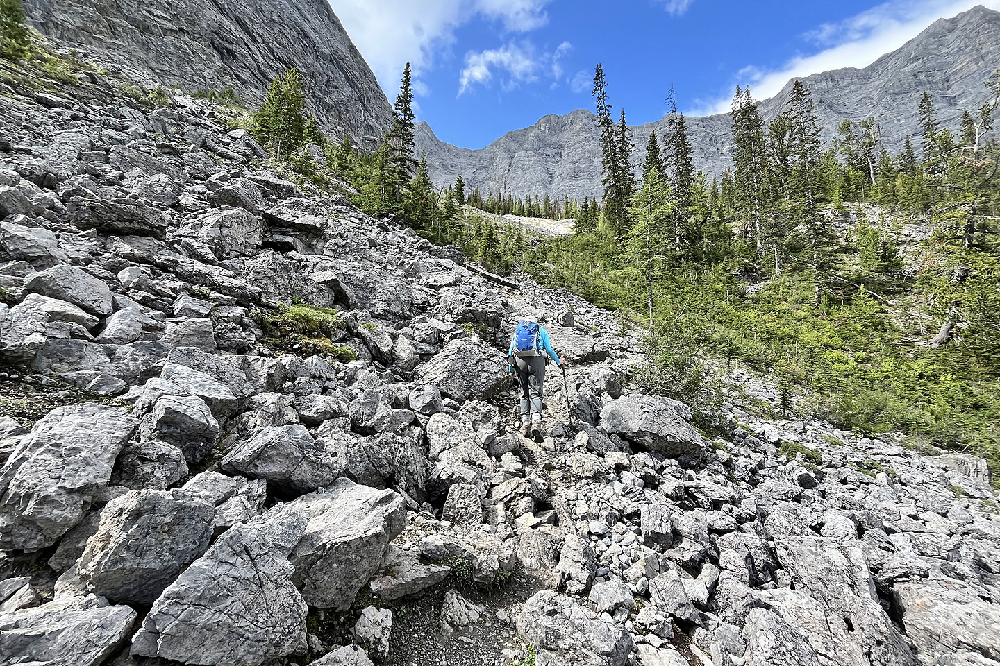
 The trail goes to the right of the boulders ahead
 Starting up the path by the boulders
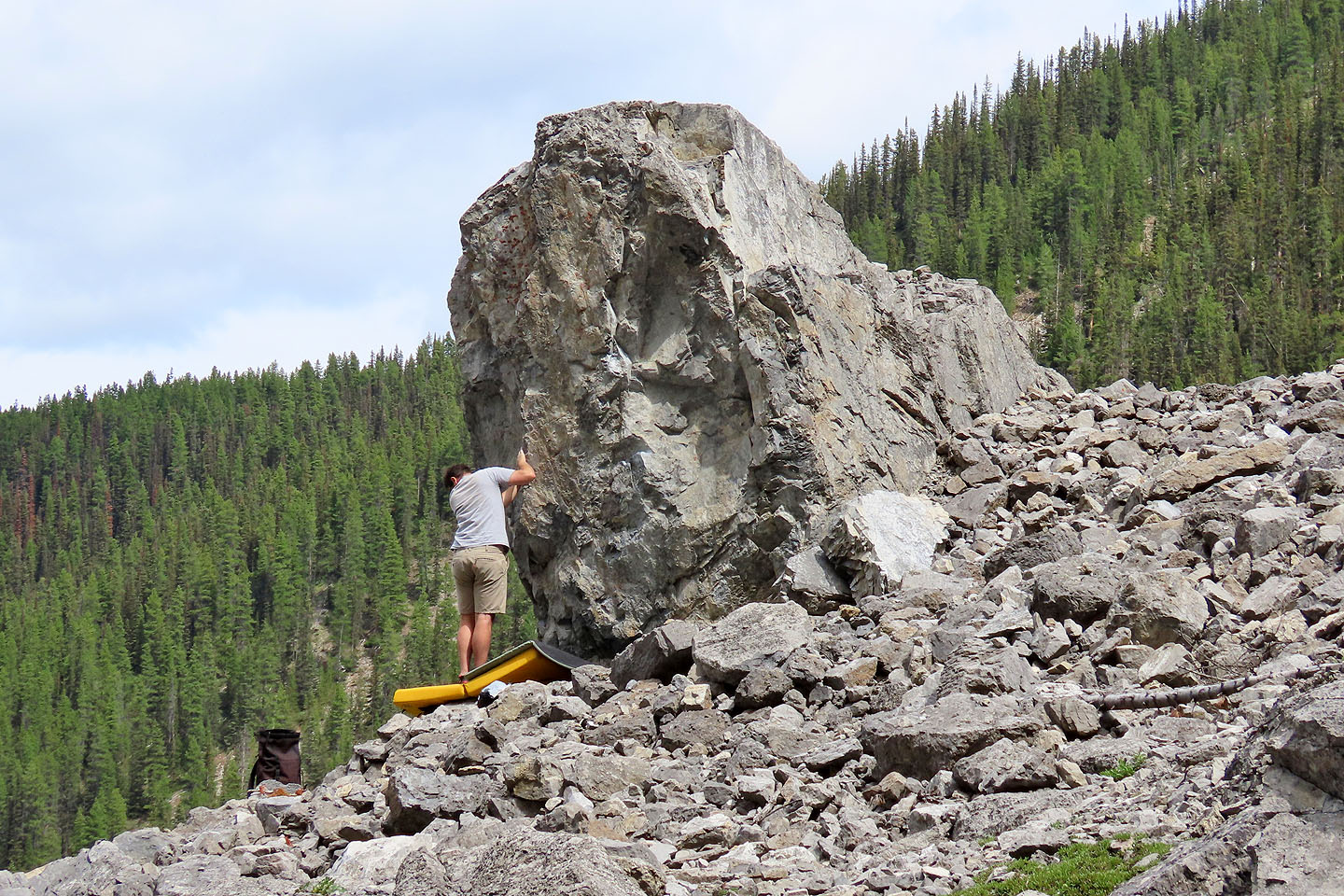 Someone bouldering
 A marmot watches Dinah from the top of a boulder (mouse over for a close-up)
 The trail turns right ahead
 The marmot (far right, mouse over) joined a friend on a rock
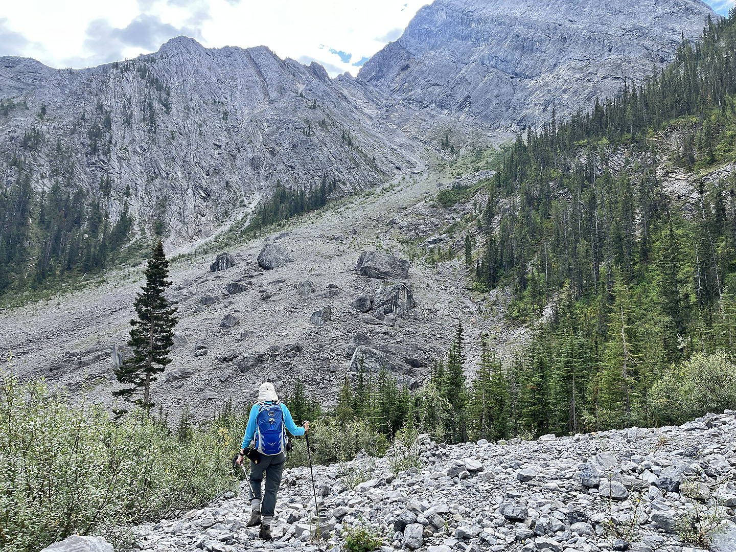
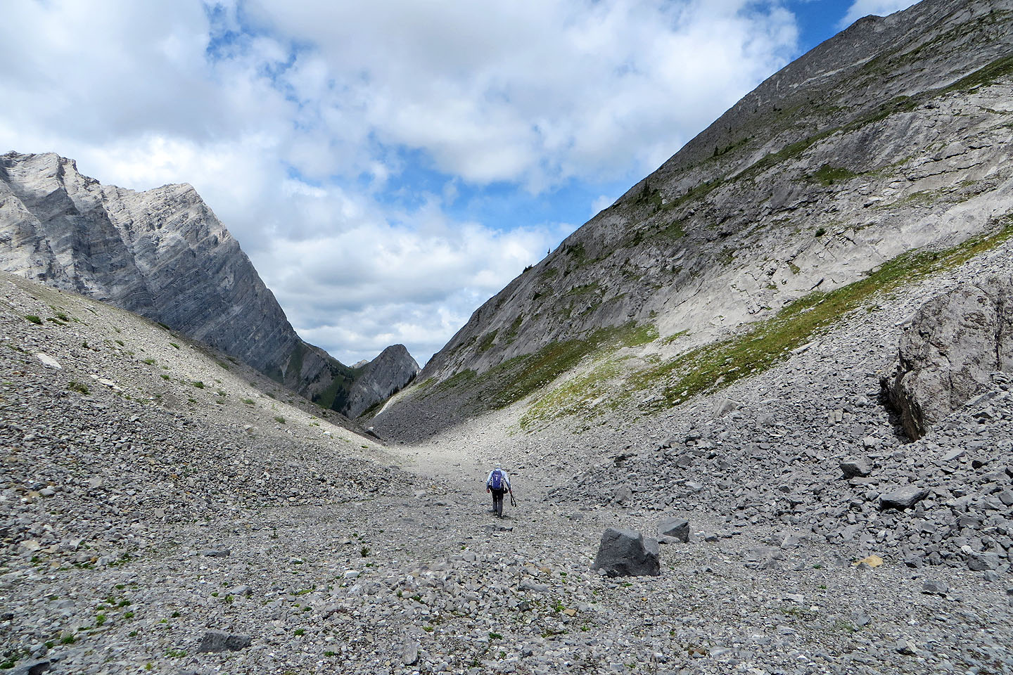
 The trail heads to the pale slope above Dinah
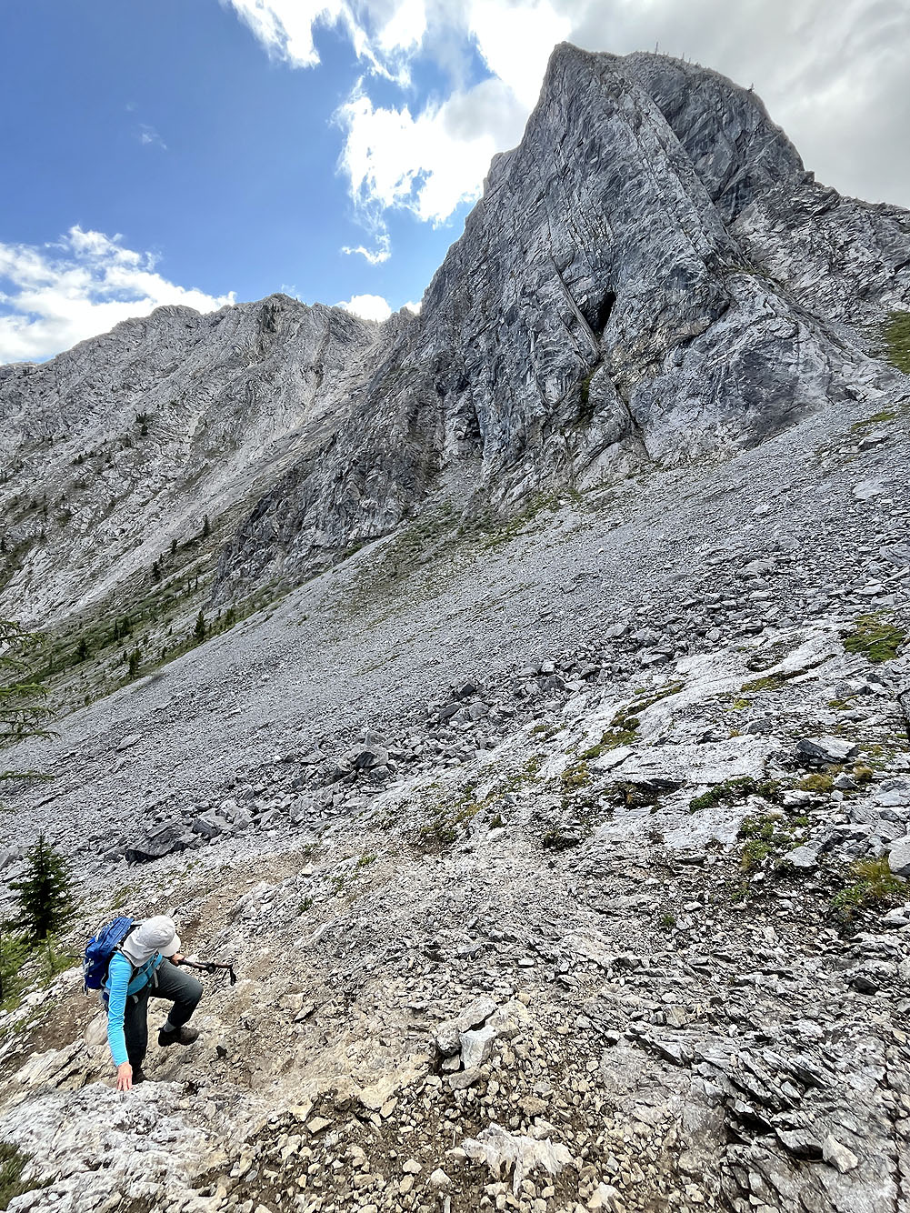
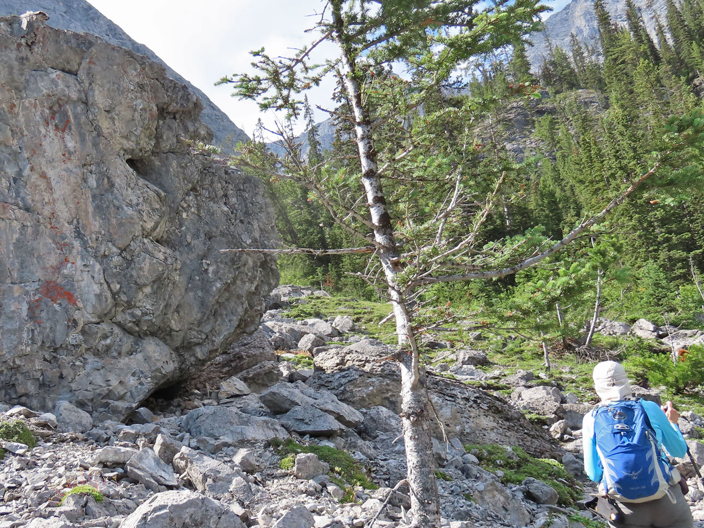
Dinah comes up a steep rock slab. In the background is a cave.
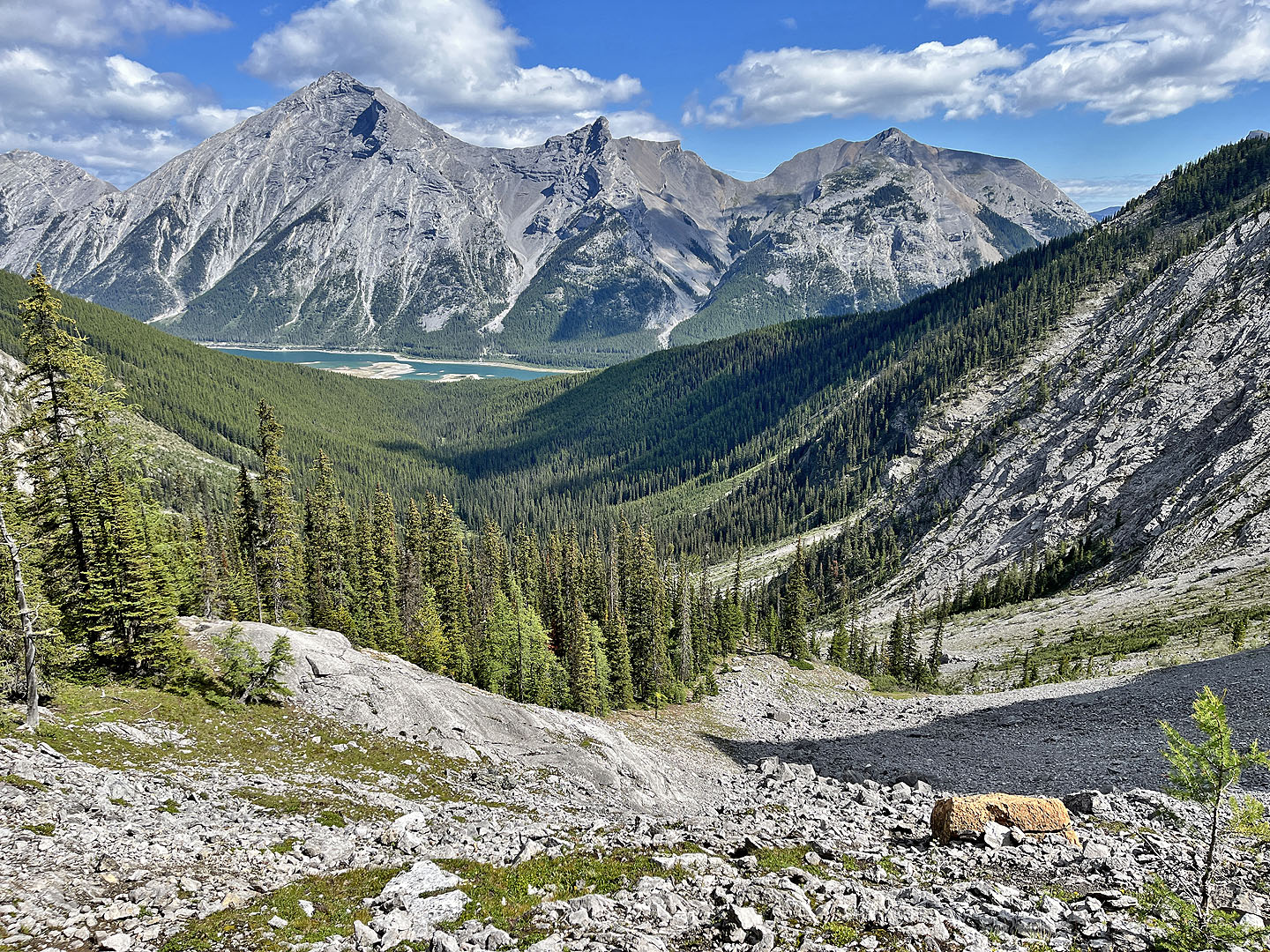 Looking back from the top of the pale slope
 The trail turns and heads to the moraine
 The trail drops down to the moraine
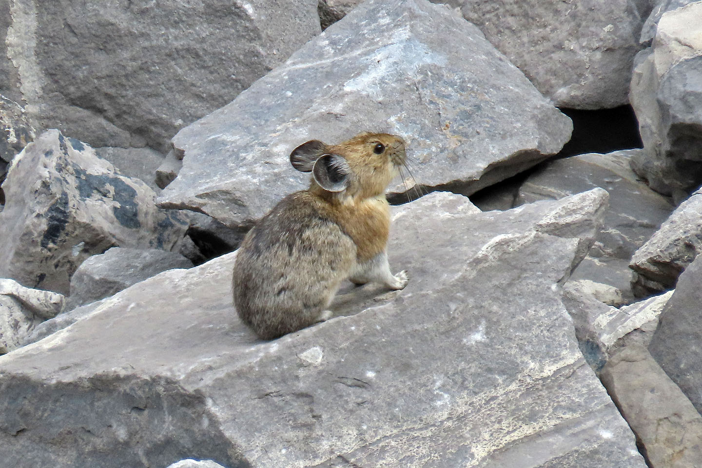 A pika paused long enough for me to snap a photo
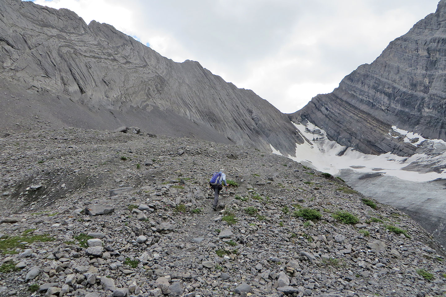
 Starting up the moraine
 Looking back, you can see the trail on the right
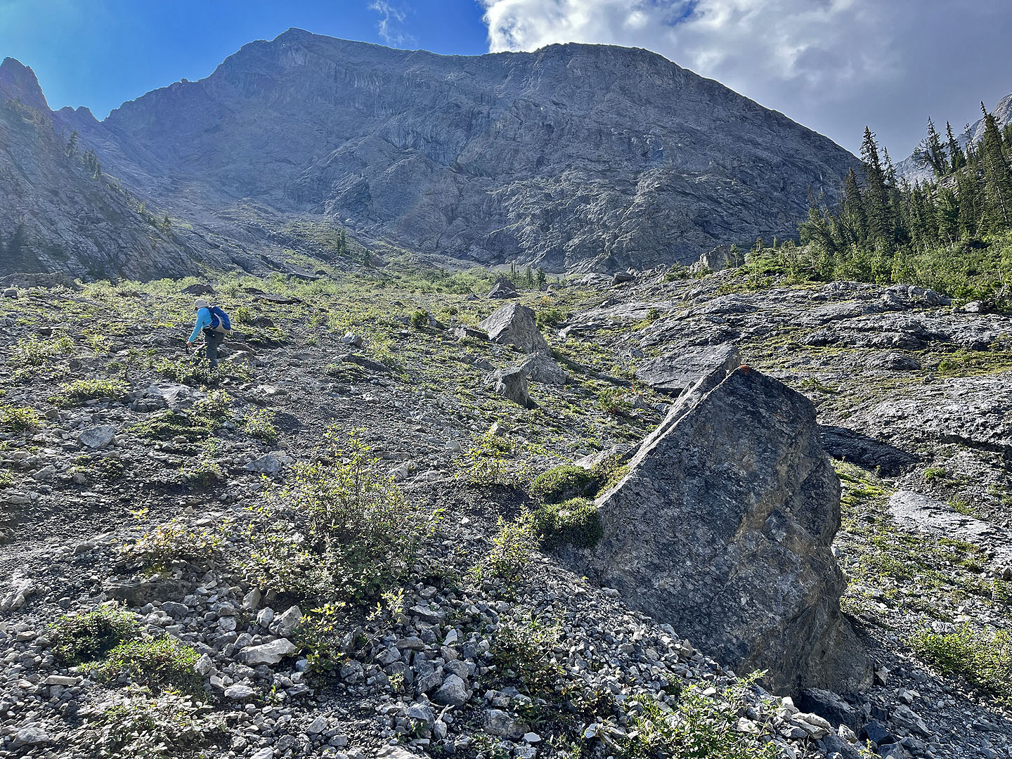
 Partway along, Dinah took a low trail while I stayed on the ridge
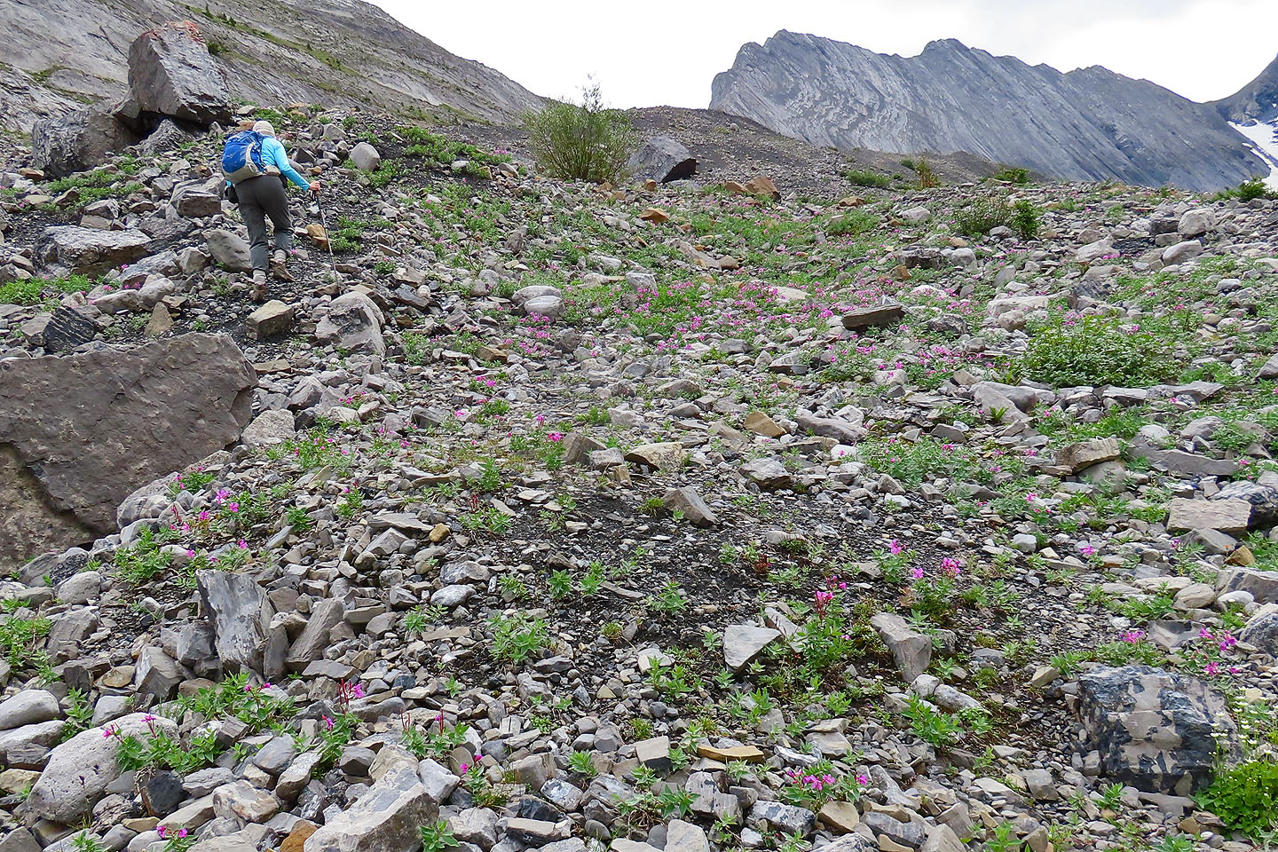 We passed dwarf fireweed (mouse over)
 Well along the moraine looking back
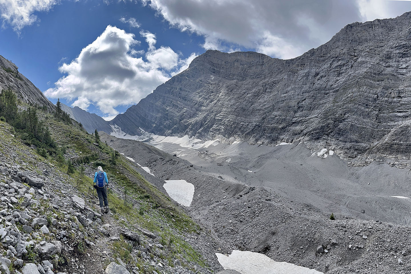
 Going to the highest point on the moraine
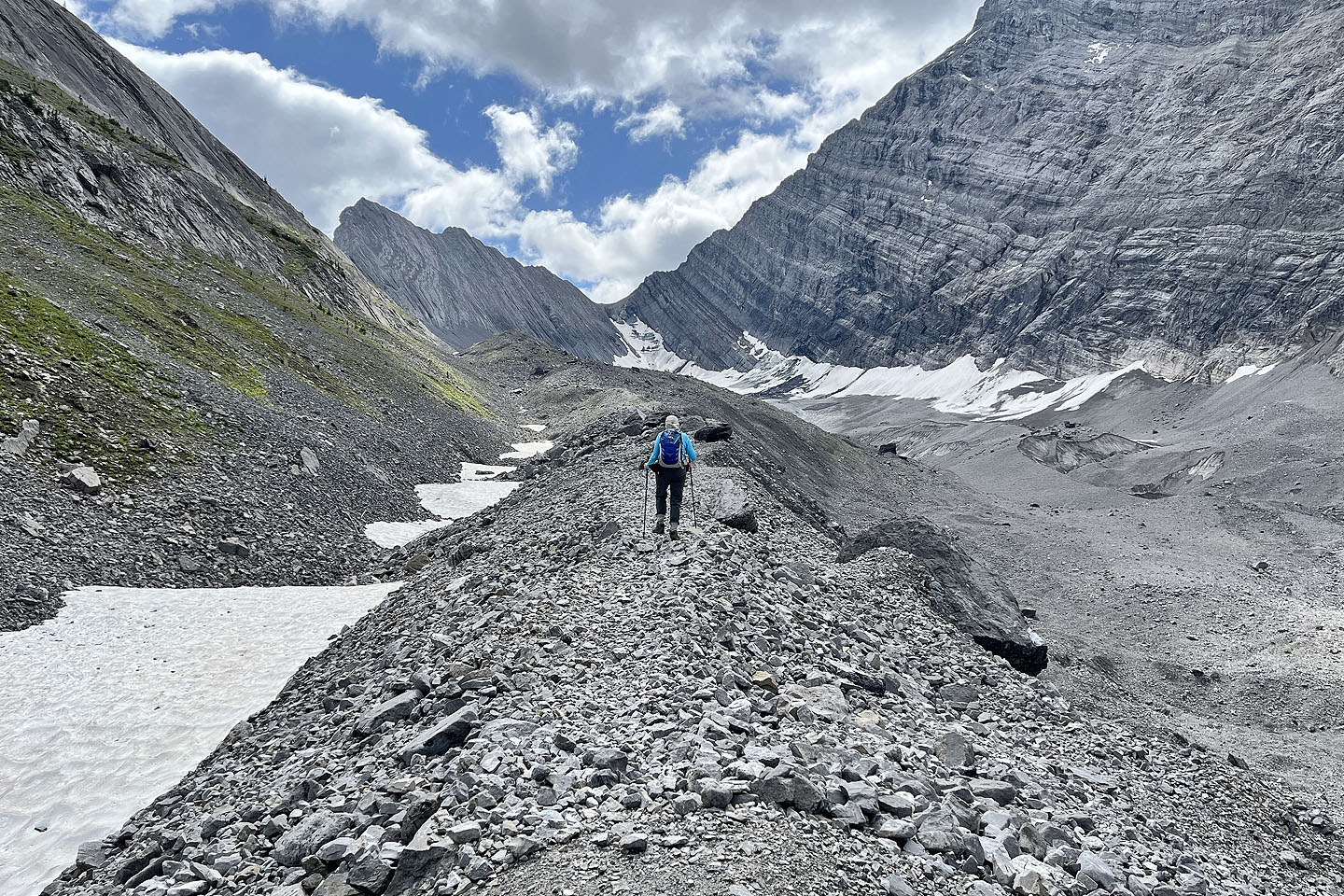
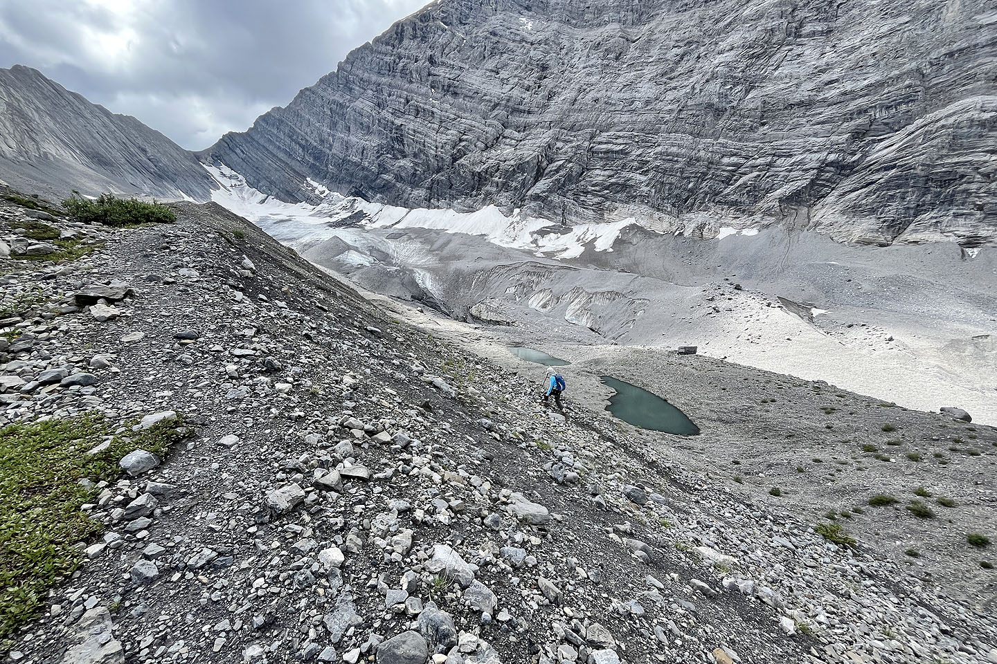
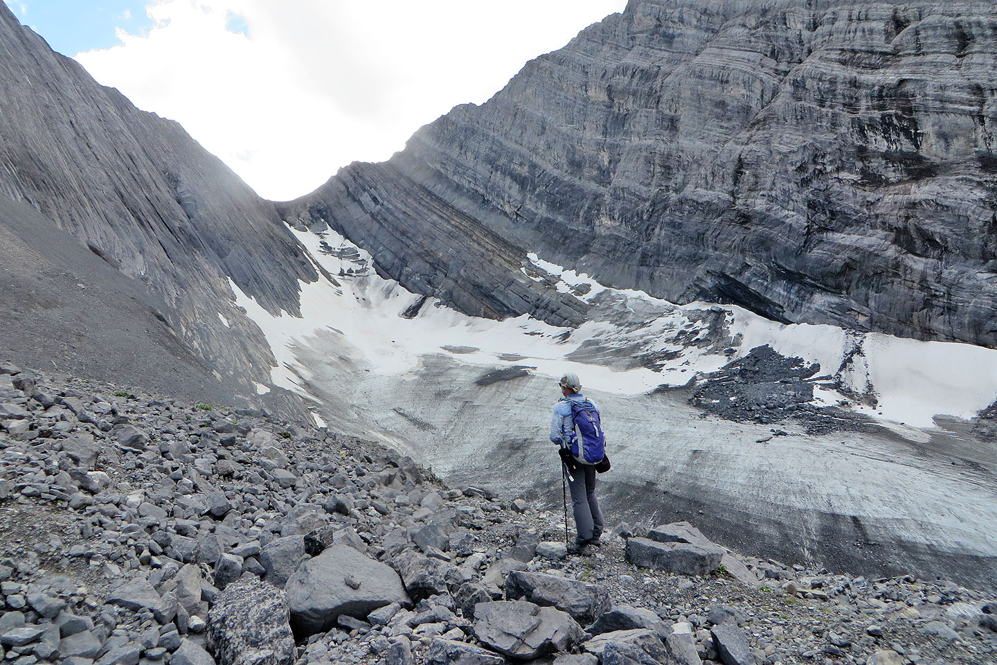 Stopping to look at the glacier
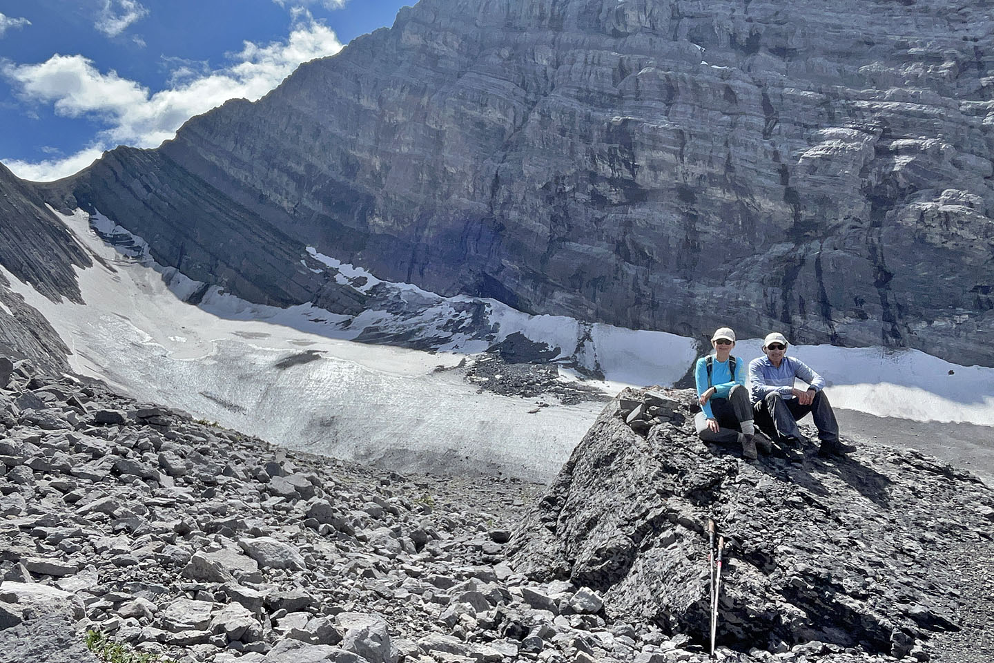 On top of the moraine
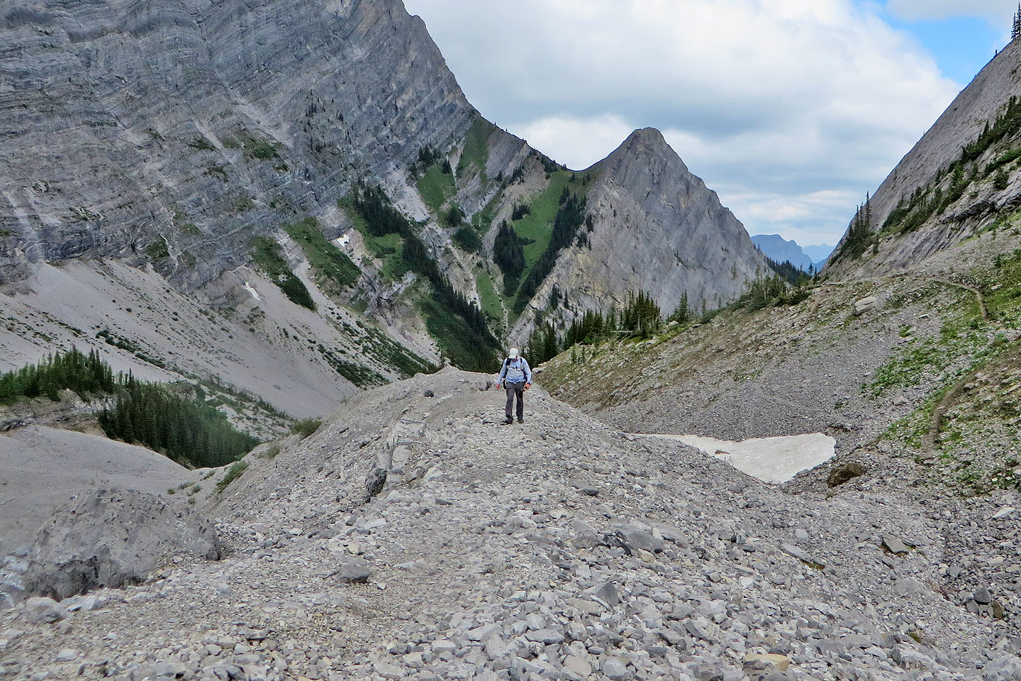
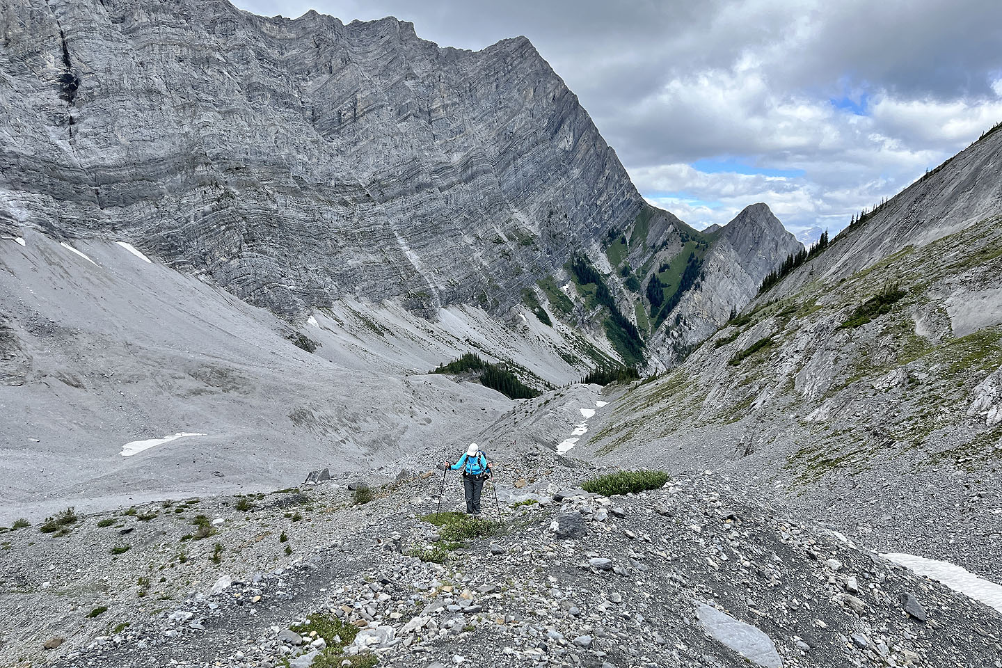
 Heading back
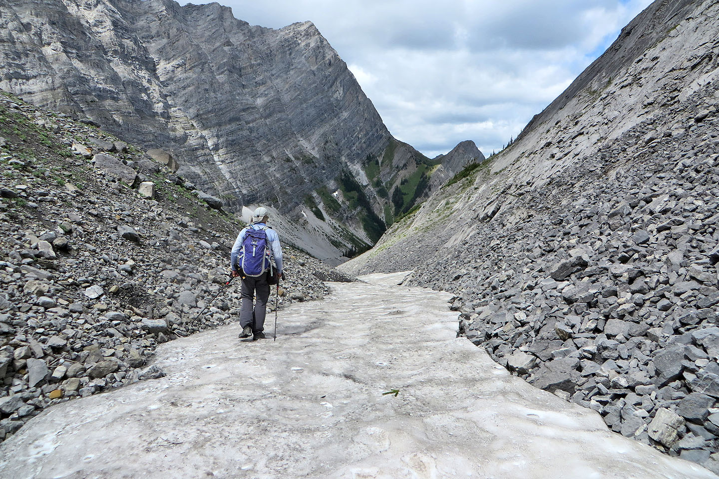
 We dropped down to the gully beside the moraine
 We had a pleasant walk along the flat bottom
 When we hit snow, we continued to the end of the snow and then got back on the trail
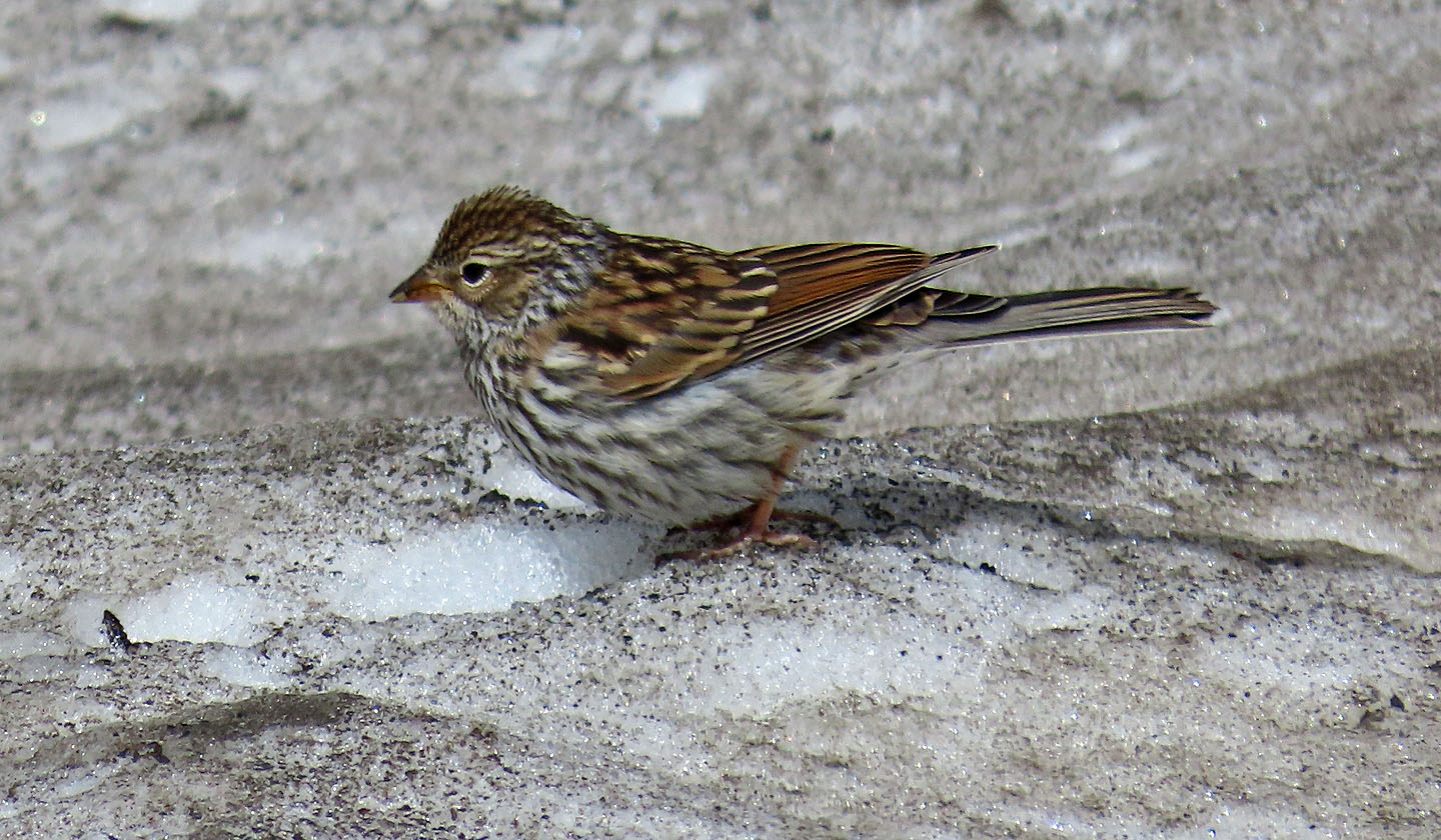 Lincoln's Sparrows were feeding on the snow
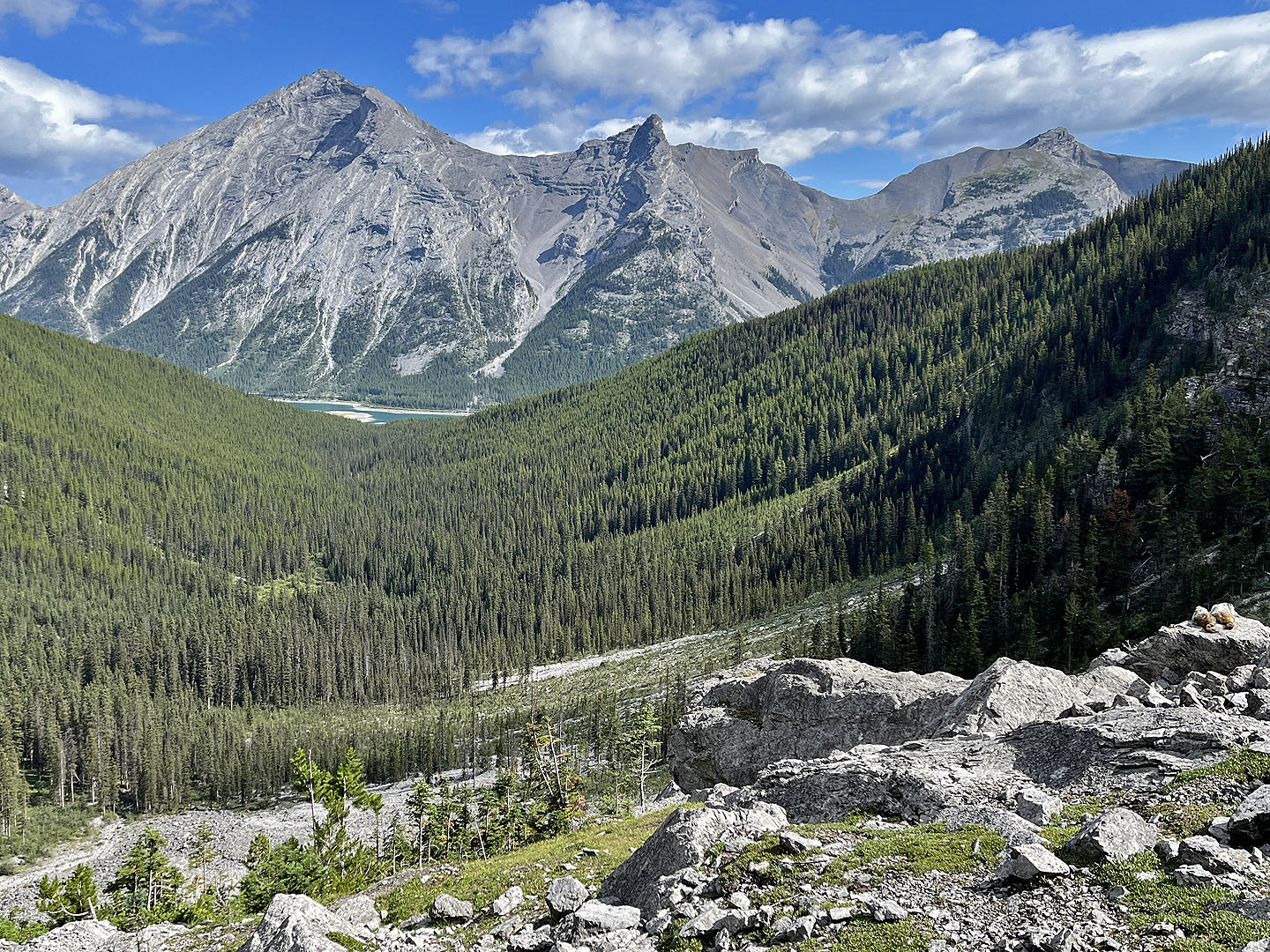
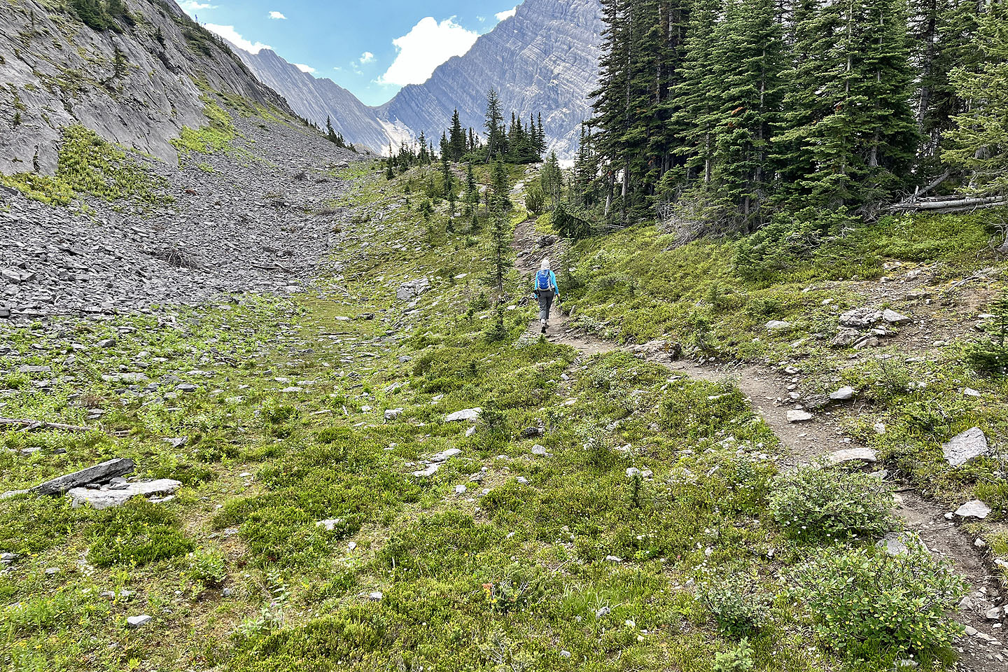
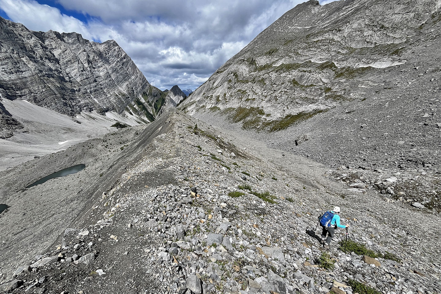
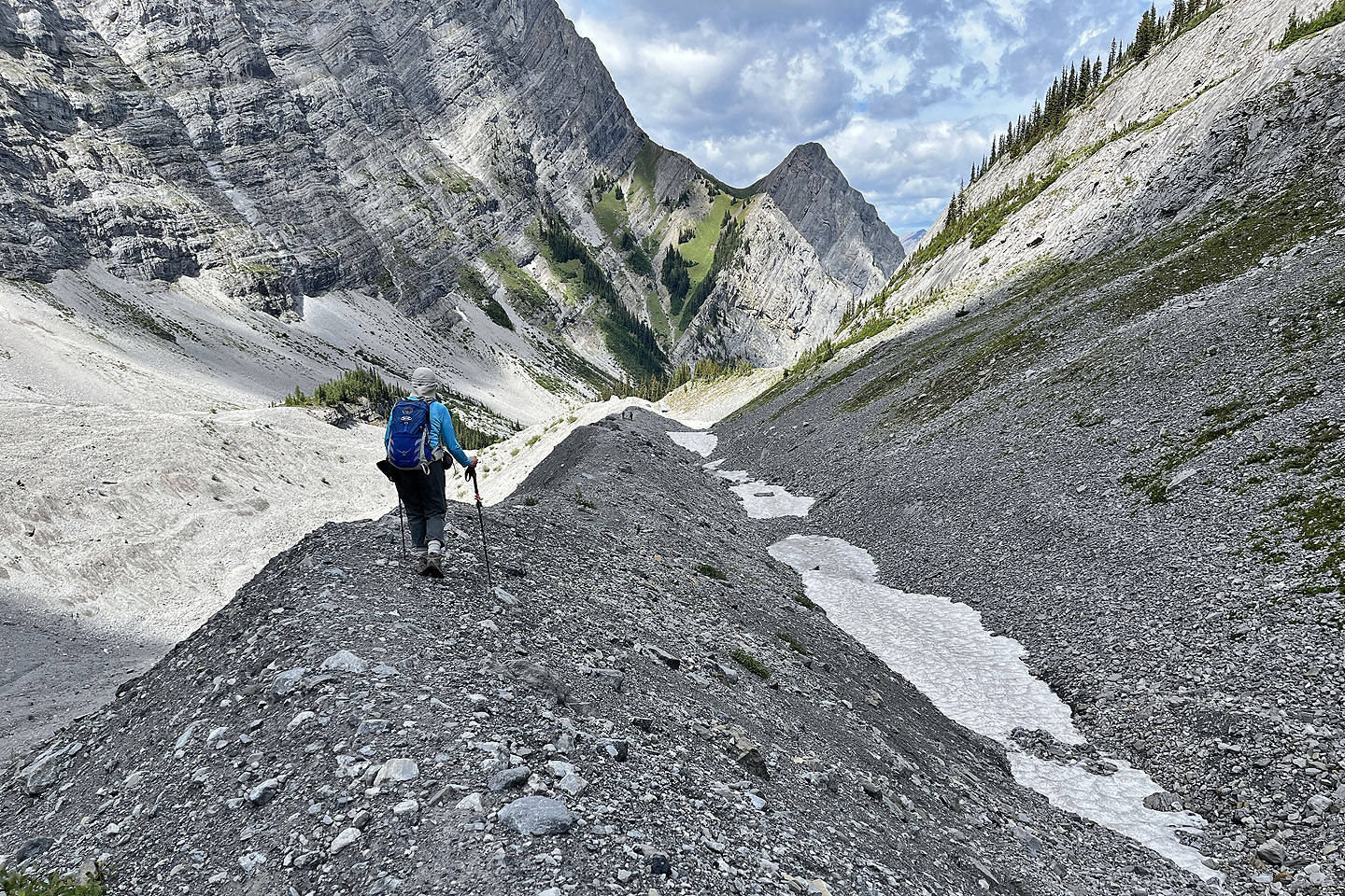 Heading back. Two weeks later, I hiked to the saddle in the centre.
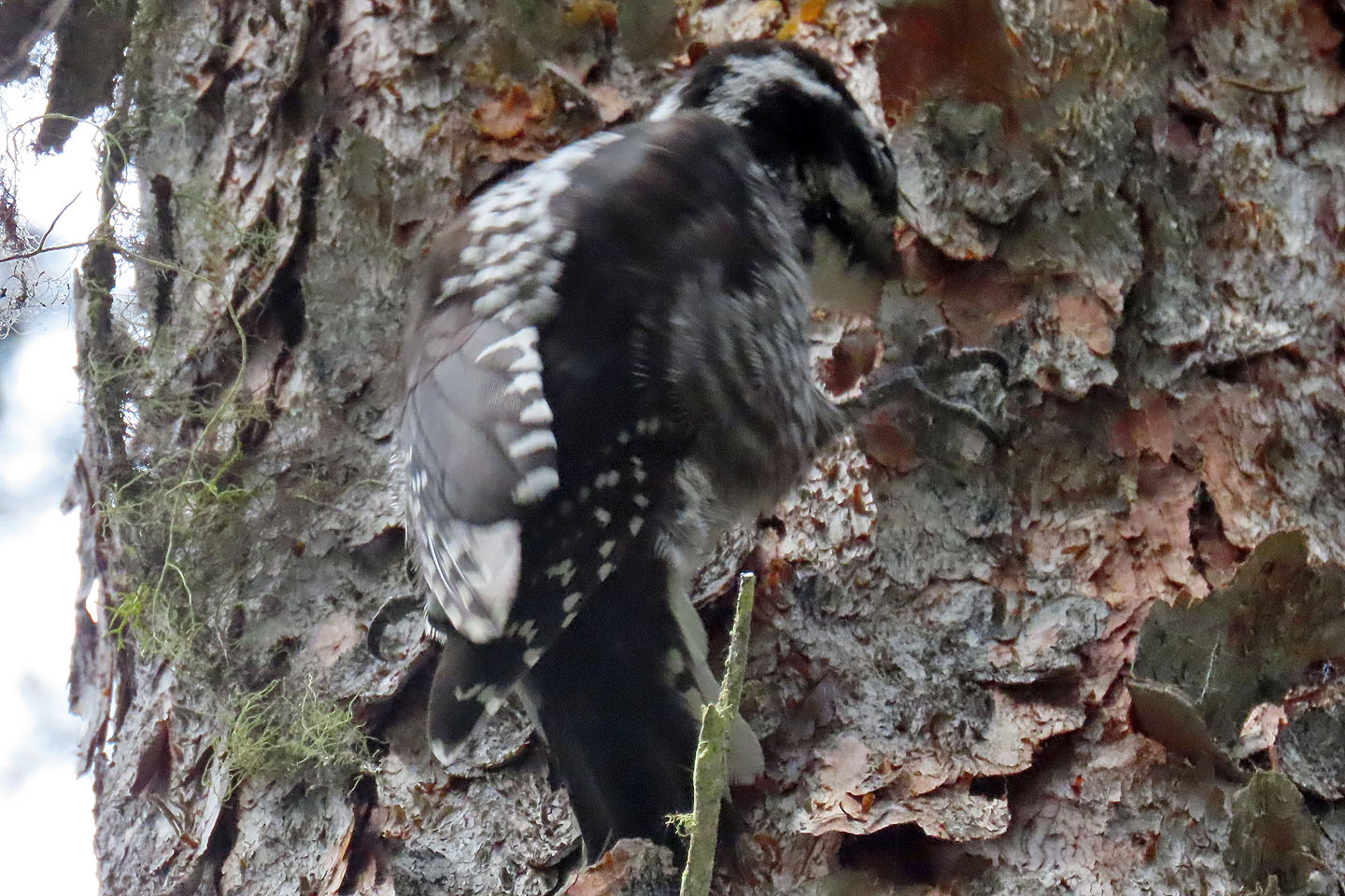 On the way back, we passed under an American Three-toed Woodpecker
82 J/14 Spray Lakes Reservoir