bobspirko.ca | Home | Canada Trips | US Trips | Hiking | Snowshoeing | MAP | About
Old Goat Knoll
Kananaskis, Alberta
October 7, 2025
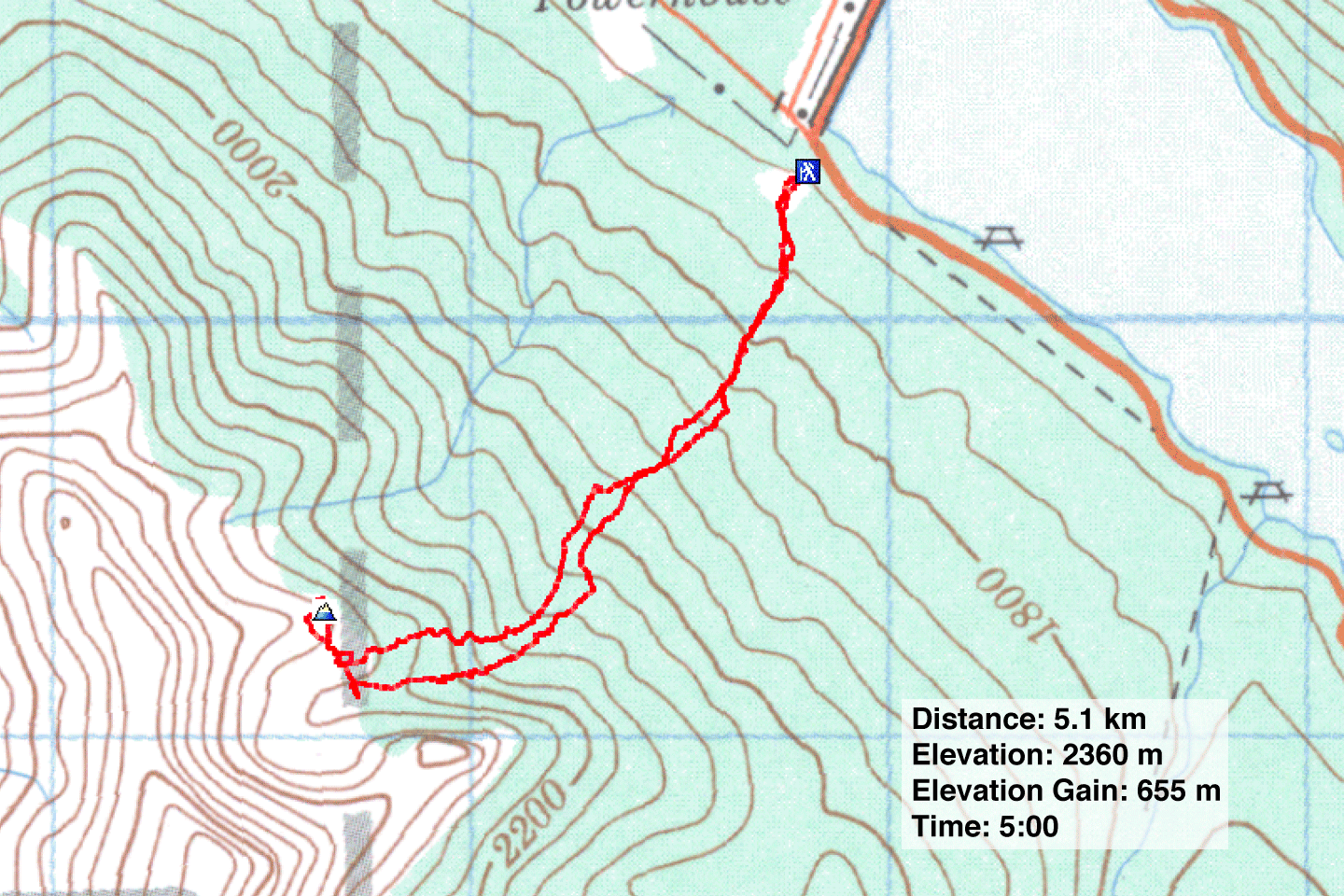
Distance: 5.1 km (3.2 mi)
Cumulative Elevation Gain: 670 m (2198 ft)
Strange to say, but when we stepped into the forest on that fall day, we didn’t have a clear destination, not from our unplanned starting point. We intended to start at Old Goat Glacier trailhead, unaware that the road there was closed for the season. We weren’t keen on walking up the road from the parking lot where we stopped, but maybe it was feasible to angle up the slope to reach our objective. Or perhaps we could change our goal to the tarn showing on the map. The terrain and bushwhacking would dictate our choice. With me were Doug, Rebecca and her daughter Ann.
So we started up, angling left. We immediately came to a decommissioned corridor. It’s probably off-limits, but we merely crossed it. We continued angling up when we noticed a thin corridor in the trees. After following it, it resolved into a well-defined, lightly wooded ridge. When it petered out, we crossed over to another good ridge on our left. We were heading to the tarn.
After climbing 300 m, the ridge disappeared, and we continued up a slope. Dense foliage forced us left, away from the gully going to the tarn and to a long talus slope beneath a cliff. We hiked up the rocks for a few hundred metres, then the trees thinned, allowing us to reach the gully. By then, we were nearly at the tarn.
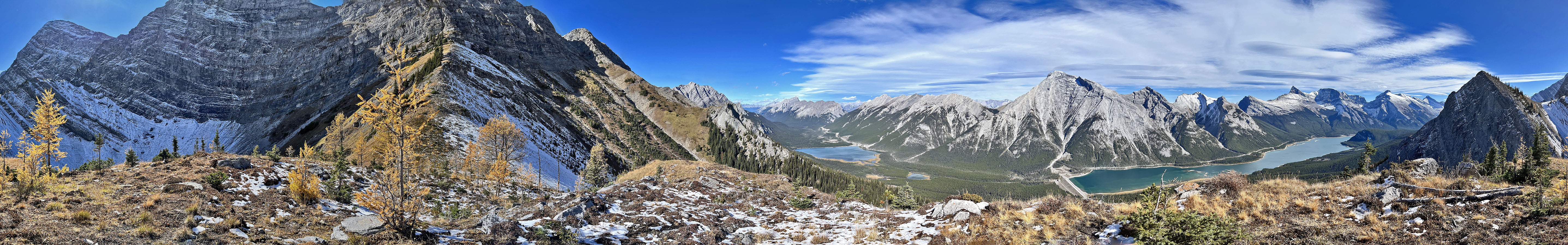
From a rocky ridge above a frozen tarn in a deep cirque, we viewed a knoll tantalisingly close. We hiked up a glade and passed through trees following a goat track. The path led to a low cliff band which we easily scrambled over. Then we hiked up a steep, grassy slope to the summit. Goat Pond and Spray Lakes Reservoir spread out below us, while familiar mountains rose above them. A fire pit indicated we weren’t the first to reach the top of what we called Old Goat Knoll.
After a long break, we headed down. We returned to the glade below the knoll, but not wishing to descend the
talus slope, we came down the ridge. We stayed left of the gully but eventually dropped into it. When it became
bushy, we headed to our ascent route and followed the ridges back down. To our surprise, there were two
grizzlies in the parking lot. We watched them amble from a safe distance. It was a grand conclusion to our
unplanned yet rewarding hike.
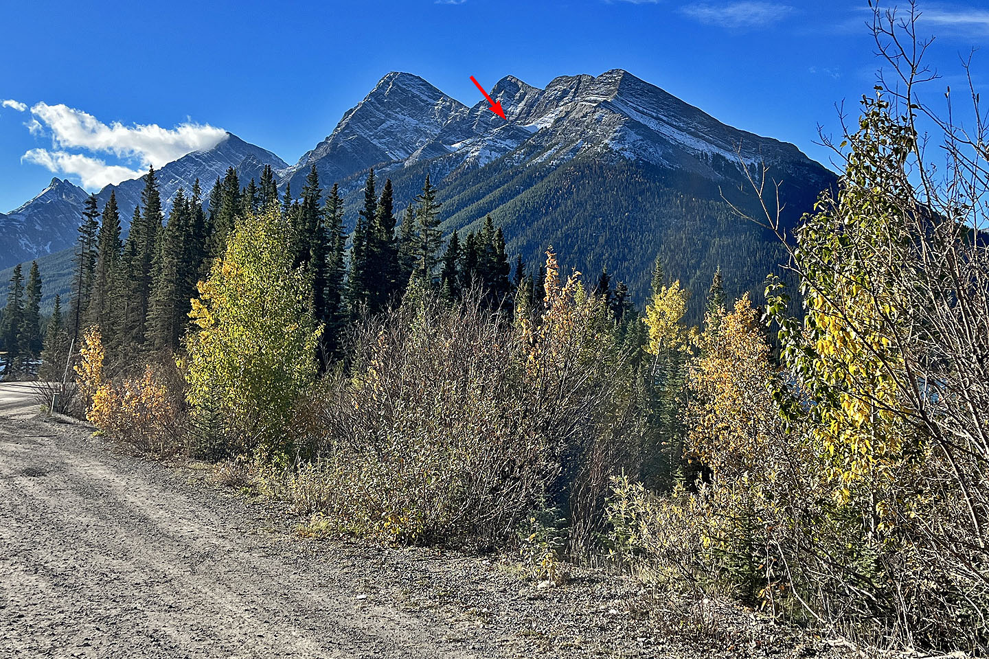 Old Goat Knoll seen from the road
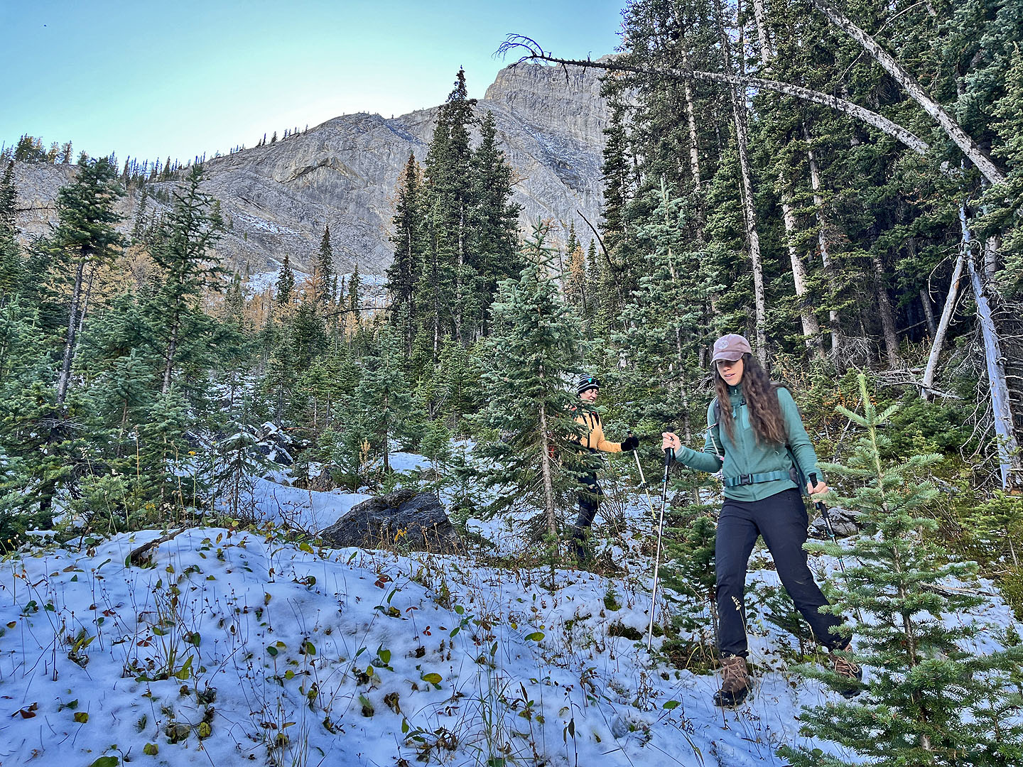
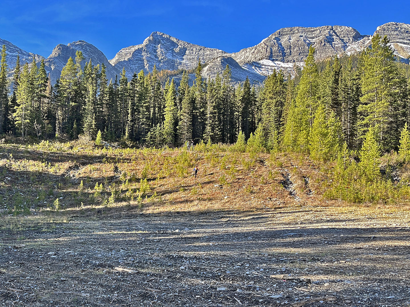 Rebecca (centre) makes her way up from the
parking lot. The knoll is behind the trees on the right.
Rebecca (centre) makes her way up from the
parking lot. The knoll is behind the trees on the right.
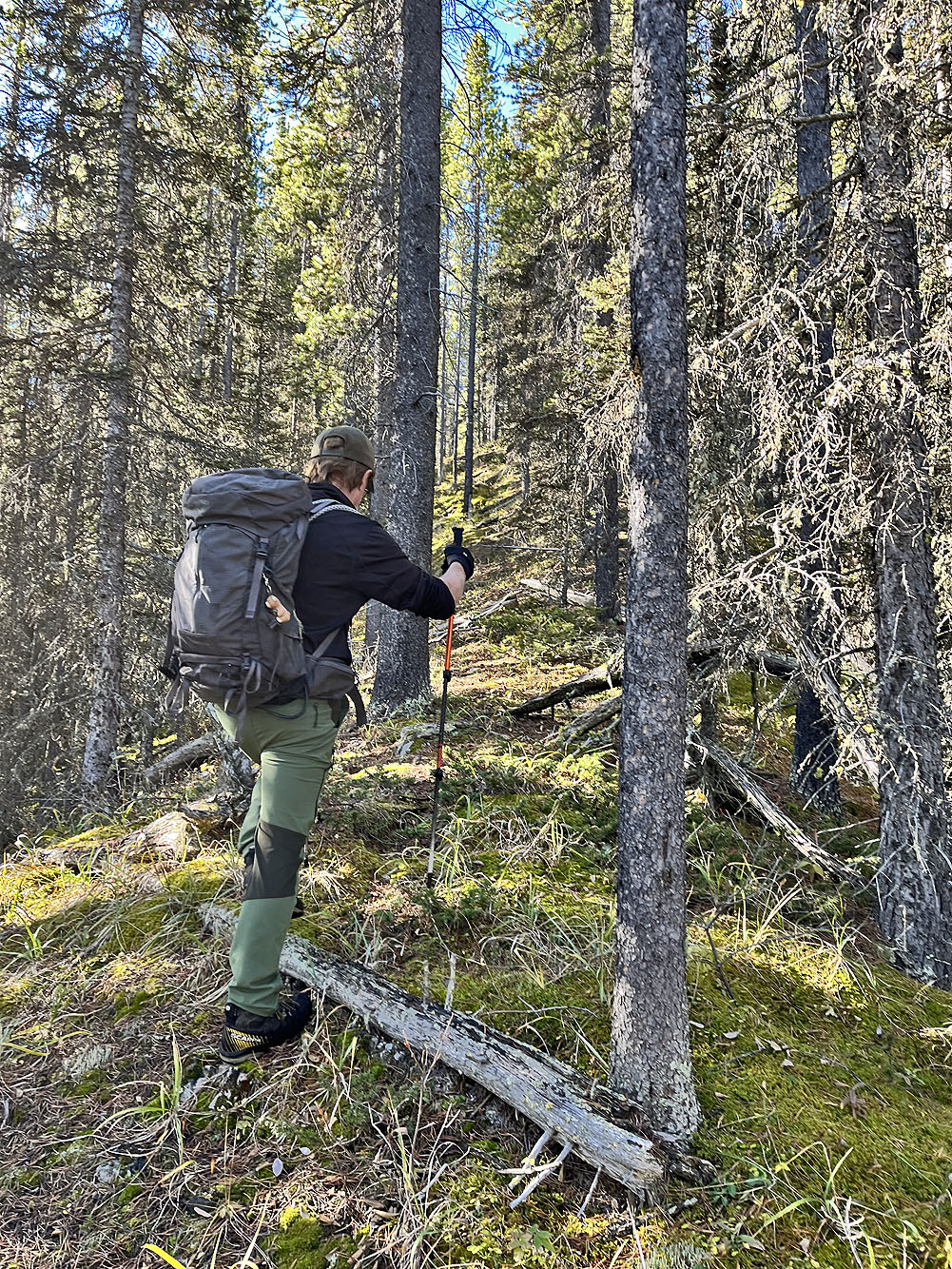
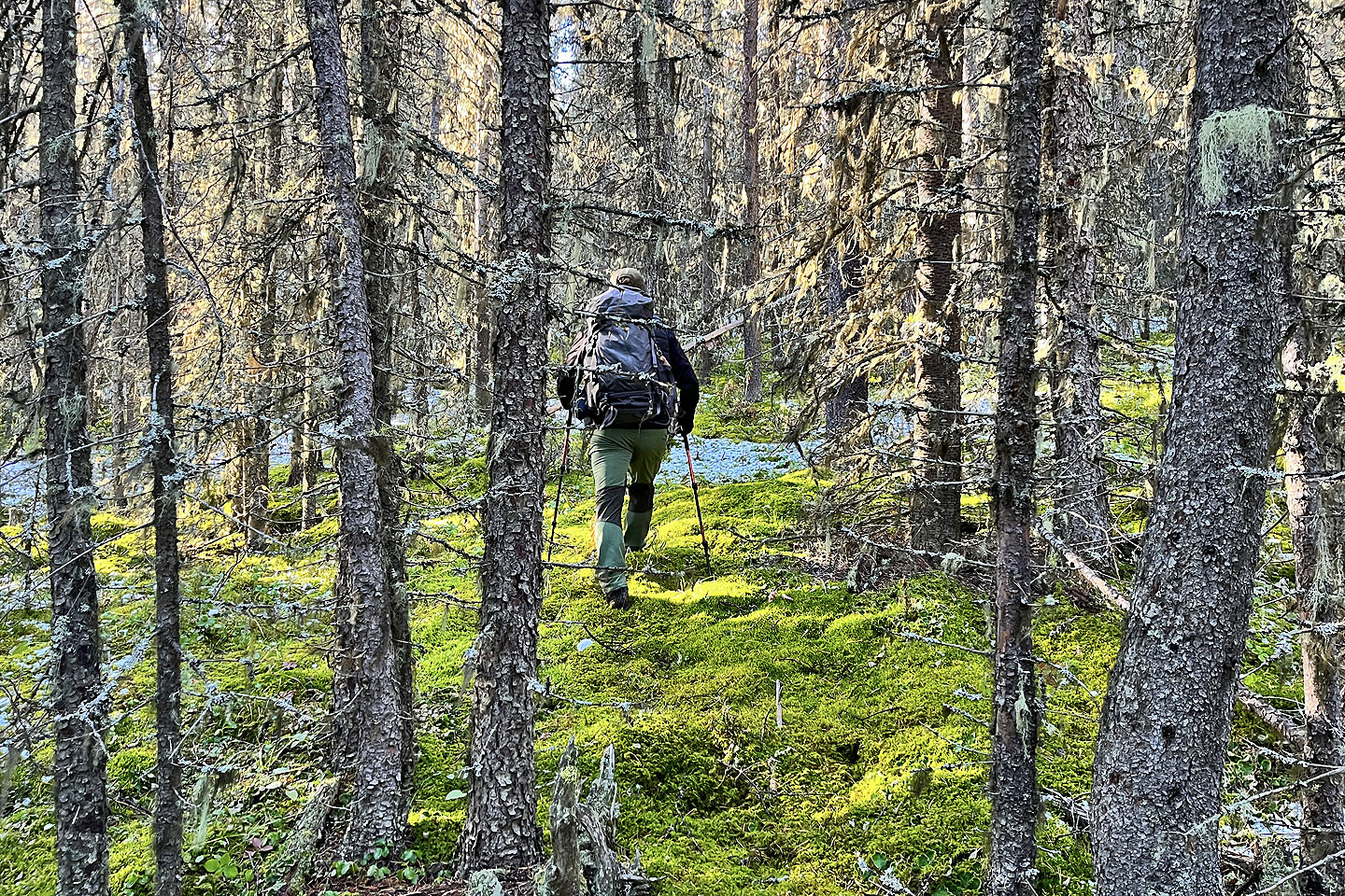 The hike began on a forest floor covered in
soft moss
The hike began on a forest floor covered in
soft moss
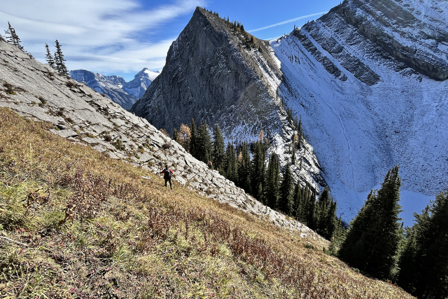
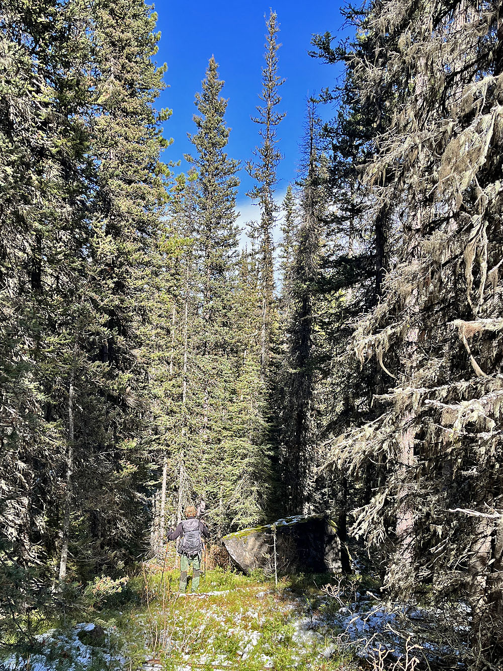
Going up the first ridge
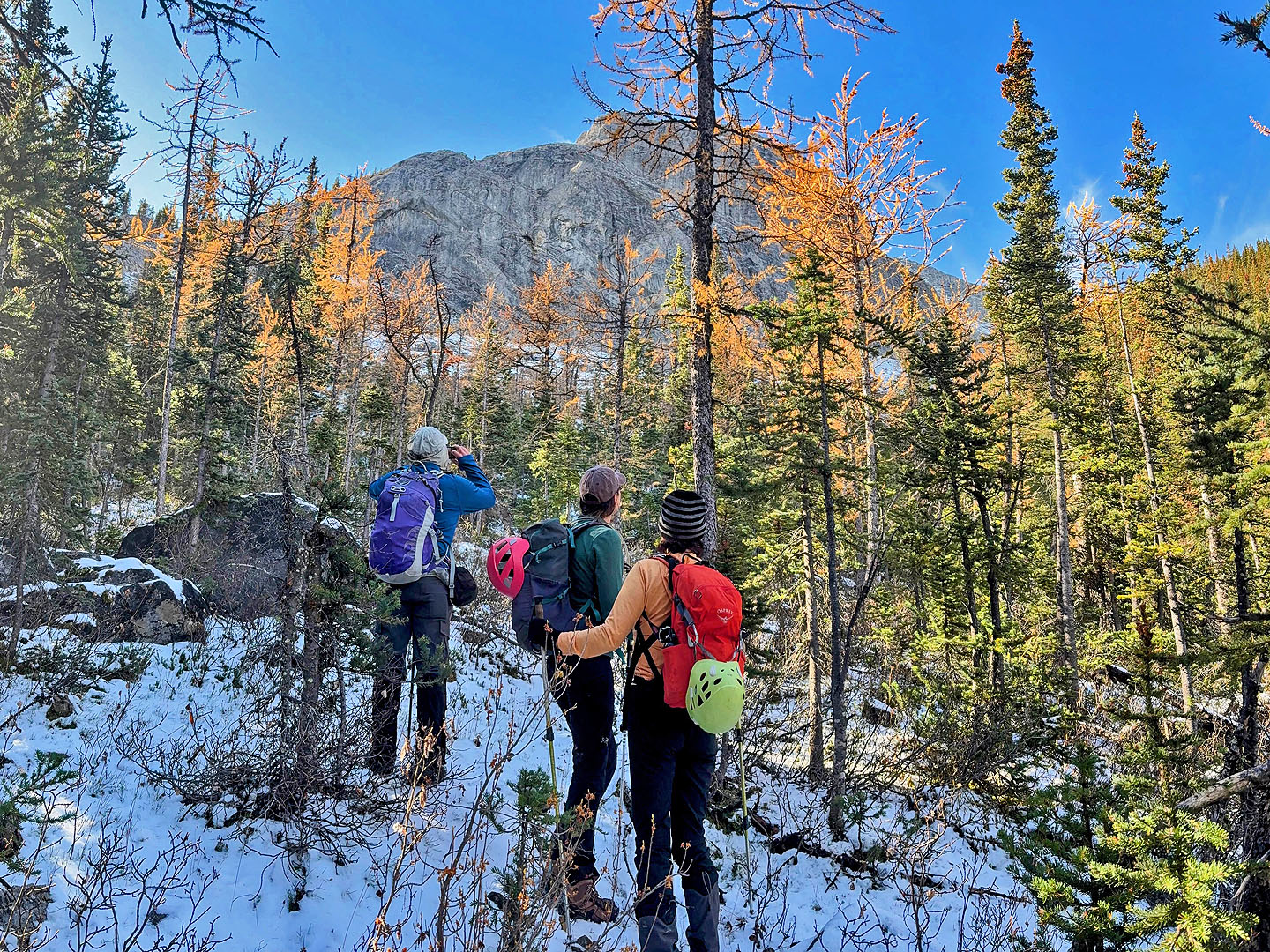
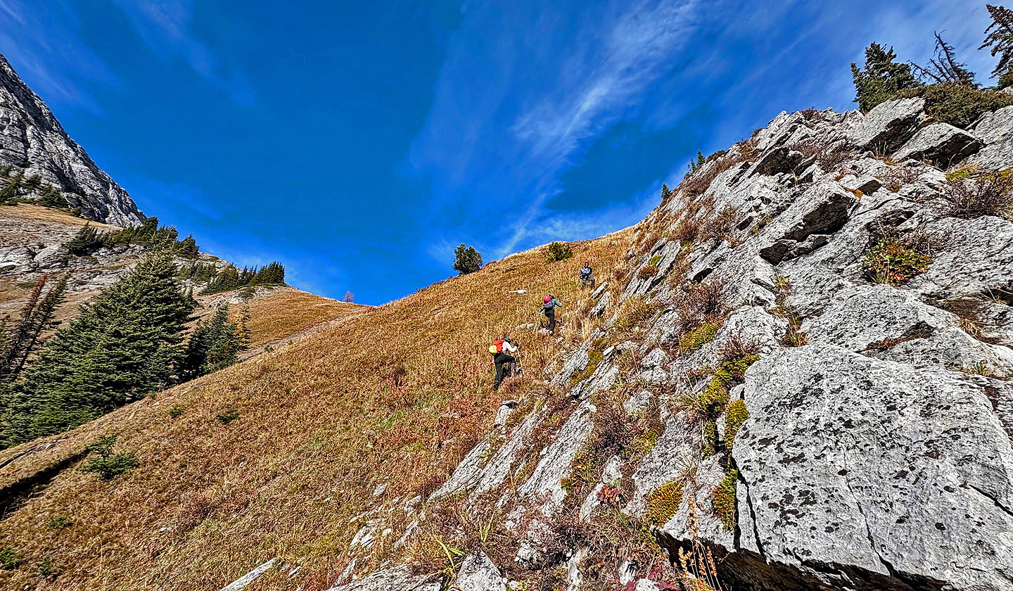
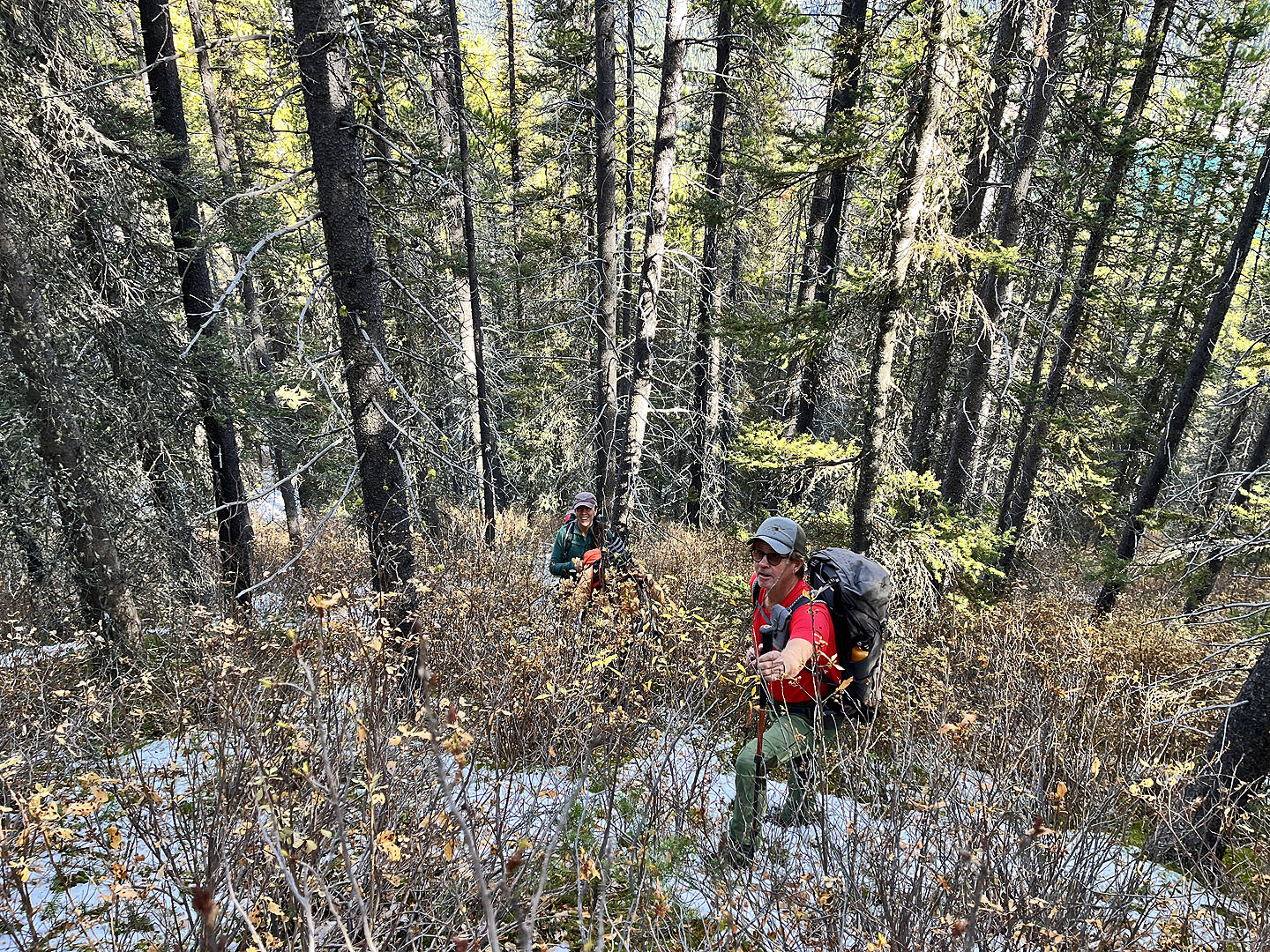 Pushing through a bushy section. Spray Lakes
Reservoir is seen through the trees upper right.
Pushing through a bushy section. Spray Lakes
Reservoir is seen through the trees upper right.
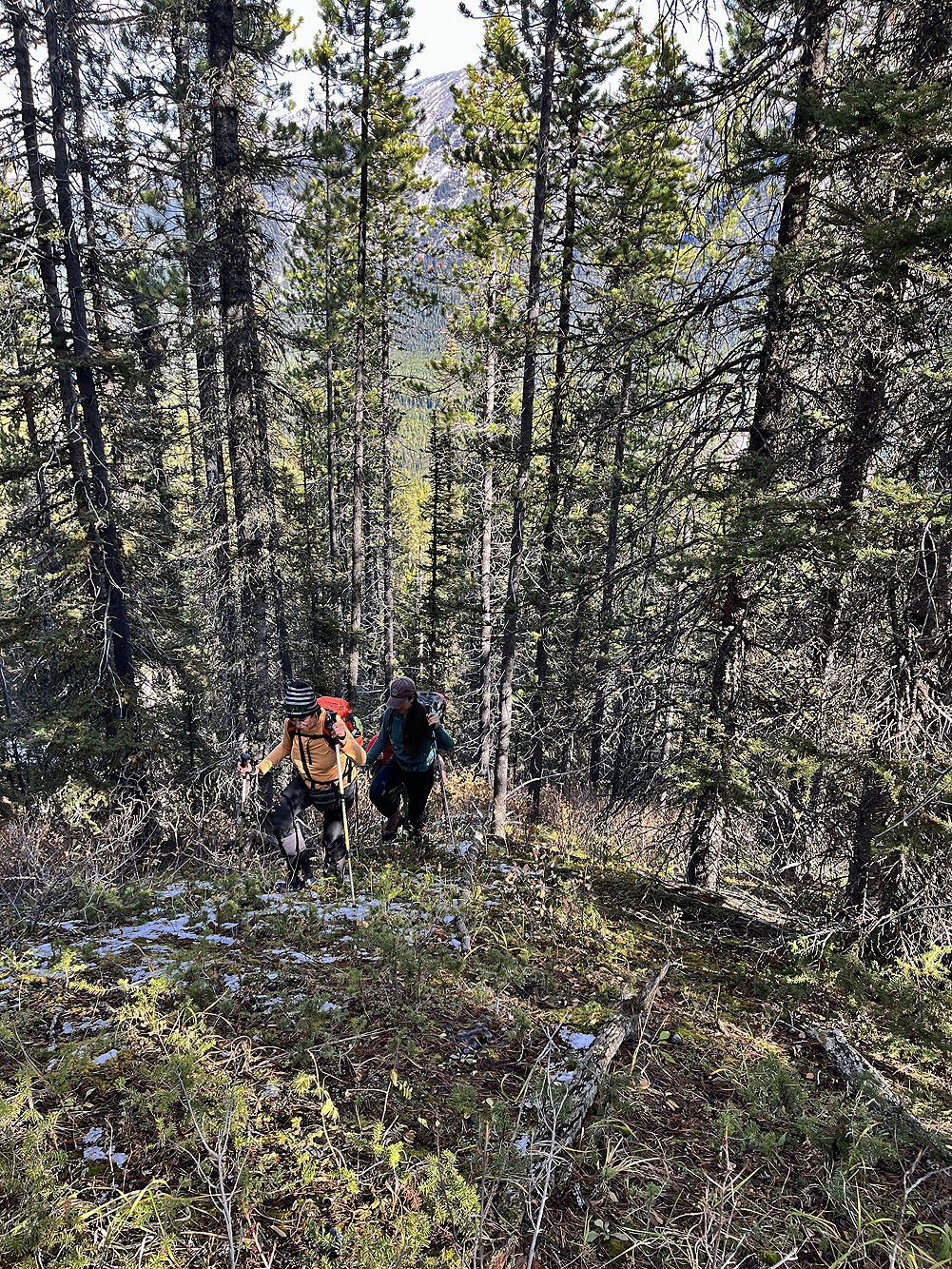
On the second ridge
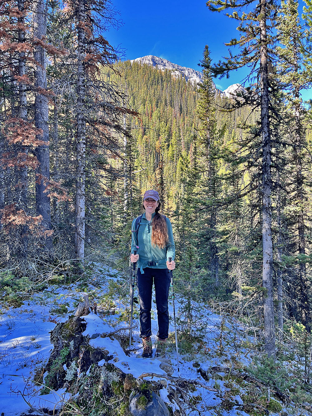
Ann pauses at a view
 We headed to the base of the cliff
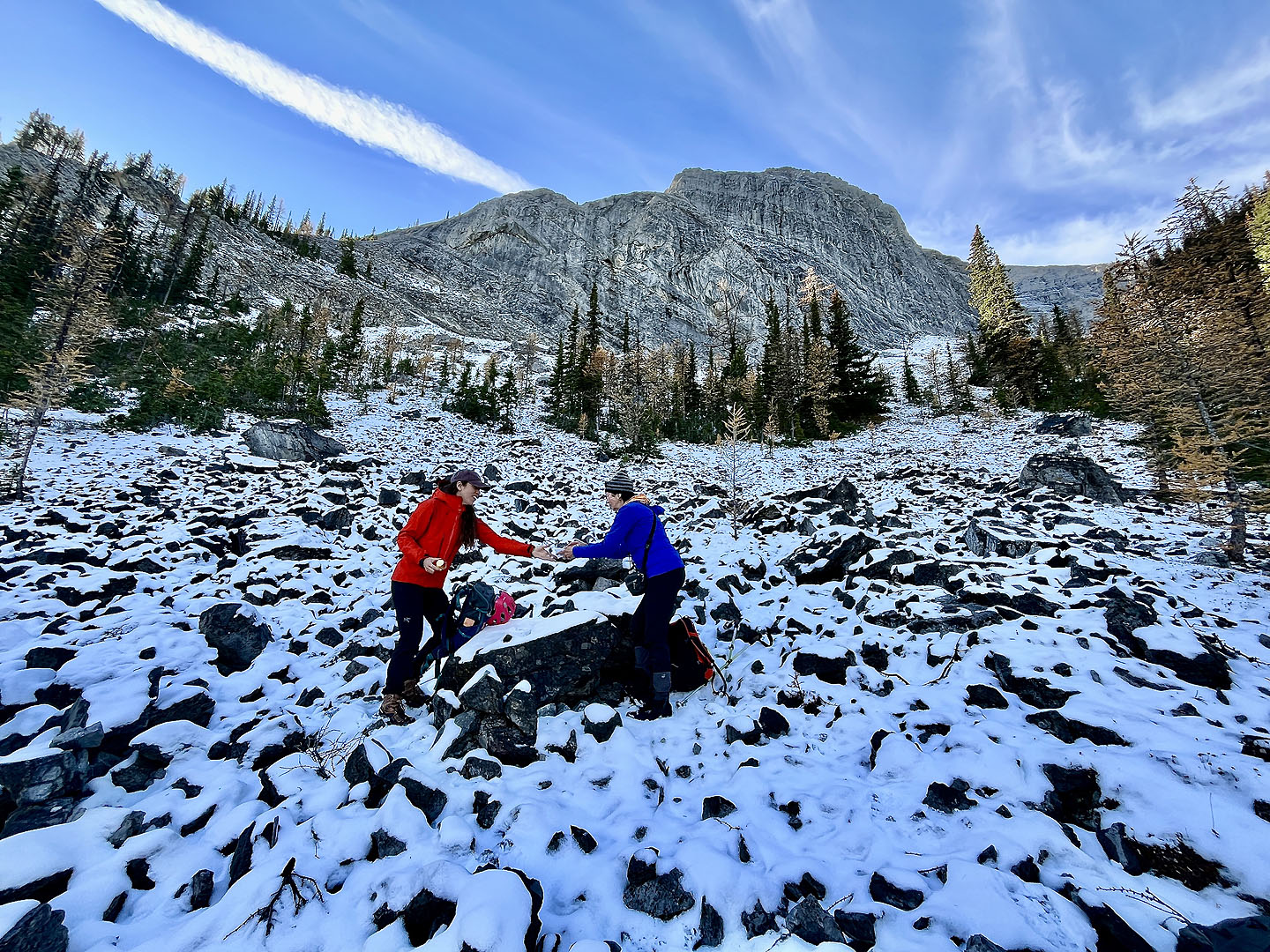 Anne and Rebecca shared a snack before the
slog up a long stretch of talus
Anne and Rebecca shared a snack before the
slog up a long stretch of talus
 Looking back at Spray Lakes Reservoir after going
well up the slope
Looking back at Spray Lakes Reservoir after going
well up the slope
 We passed an enormous cave
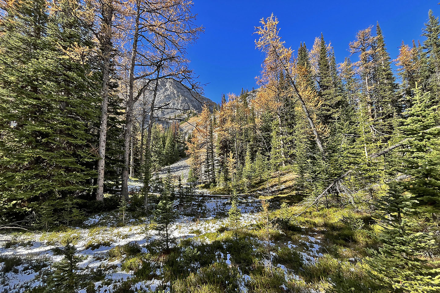
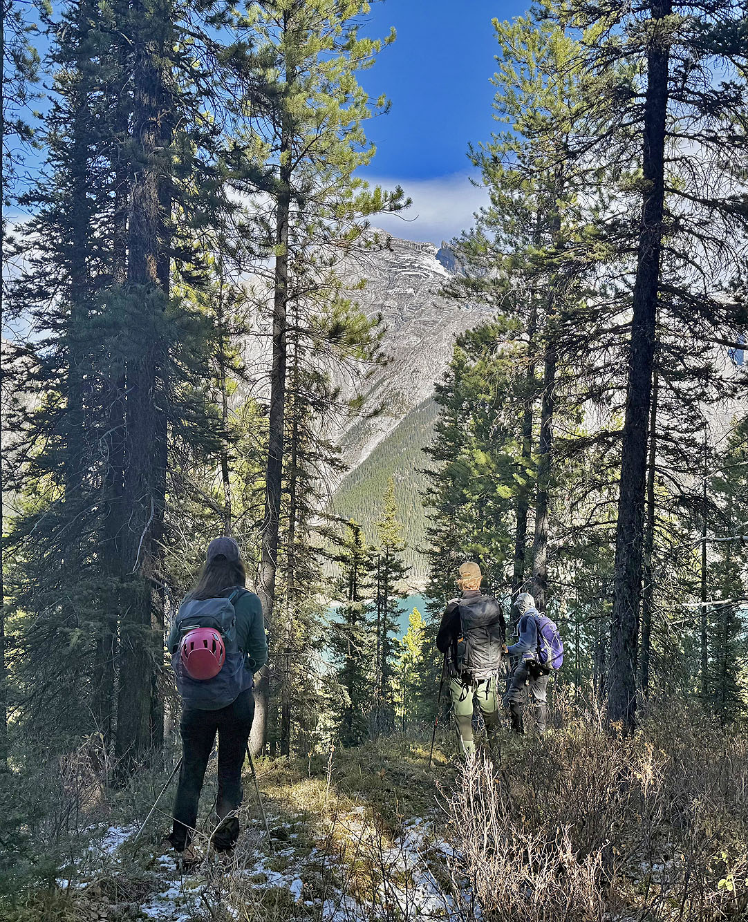
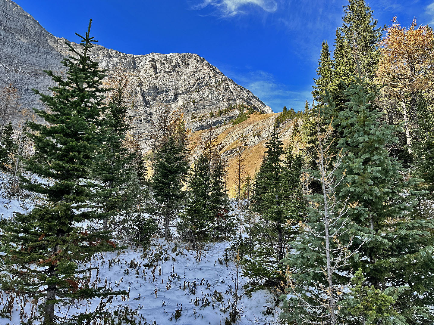 Approaching the cirque
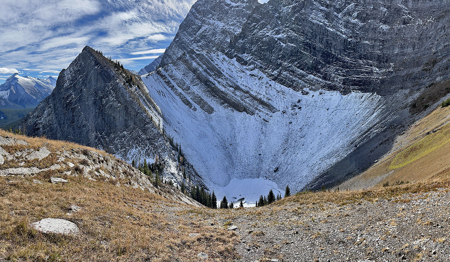
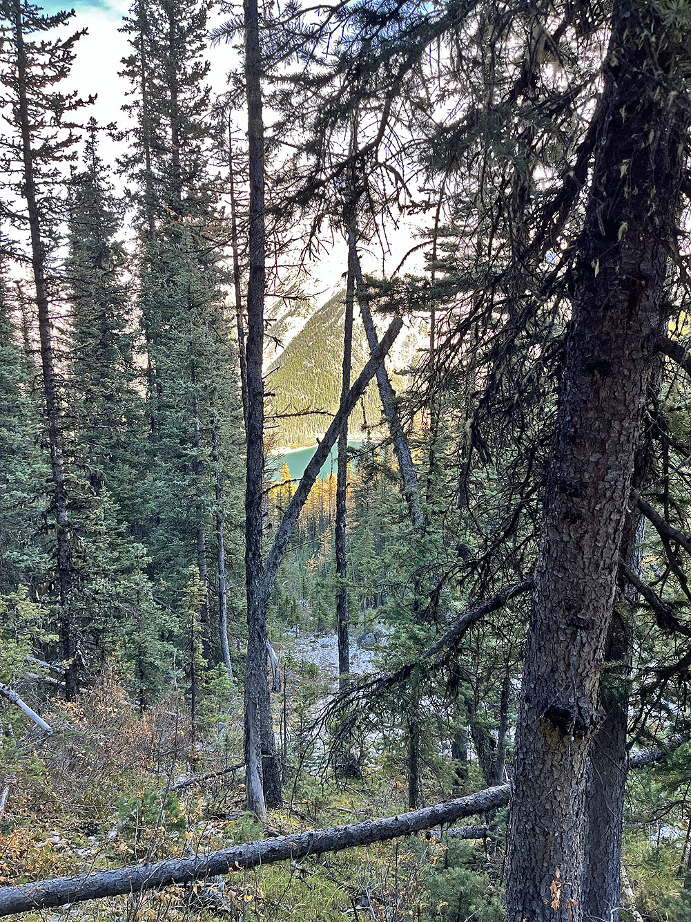
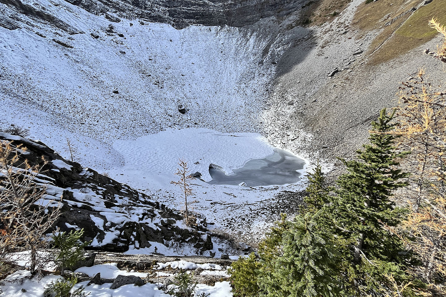 Looking down at the frozen tarn in the cirque
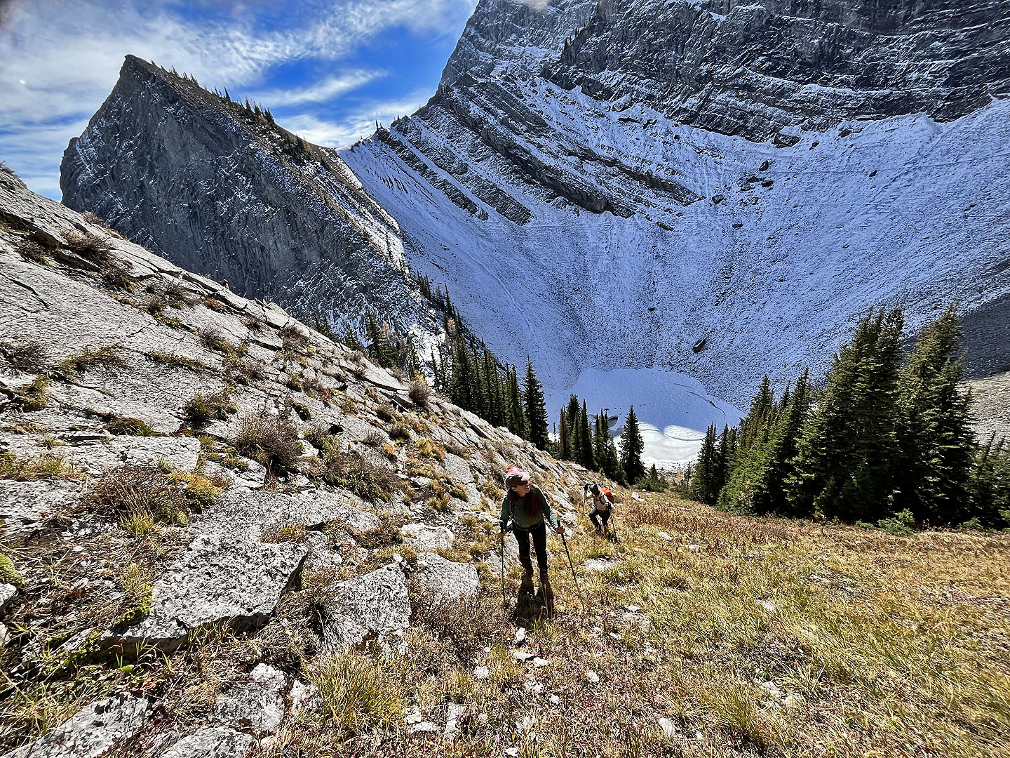
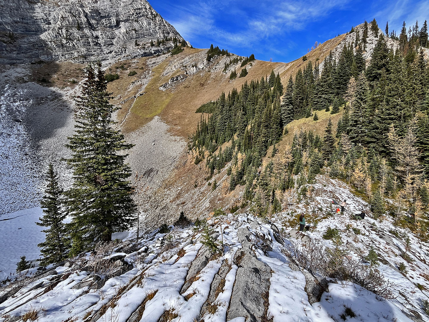 We took a break above the cirque and below
Old Goat Knoll. We found a goat track in the trees below the knoll.
We took a break above the cirque and below
Old Goat Knoll. We found a goat track in the trees below the knoll.
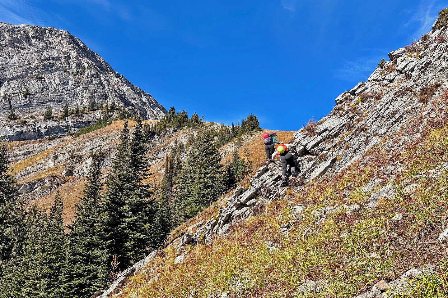 The faint goat track led to an easy climb over a cliff
band
The faint goat track led to an easy climb over a cliff
band
 We headed straight up to the summit
 Looking back
 Looking down at the tarn from the summit
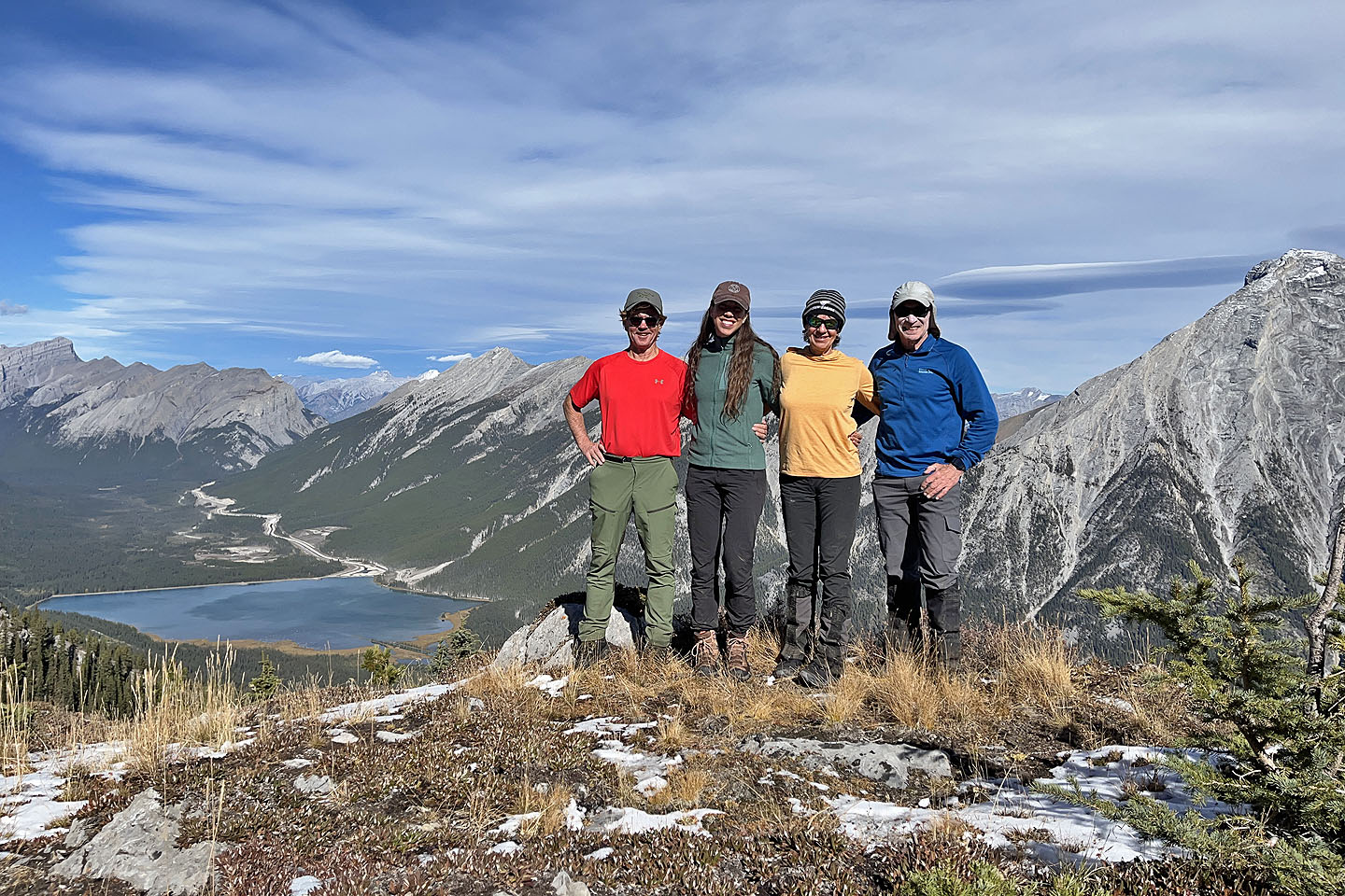 Doug, Ann, Rebecca and me on the top
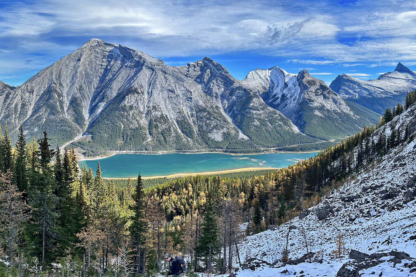
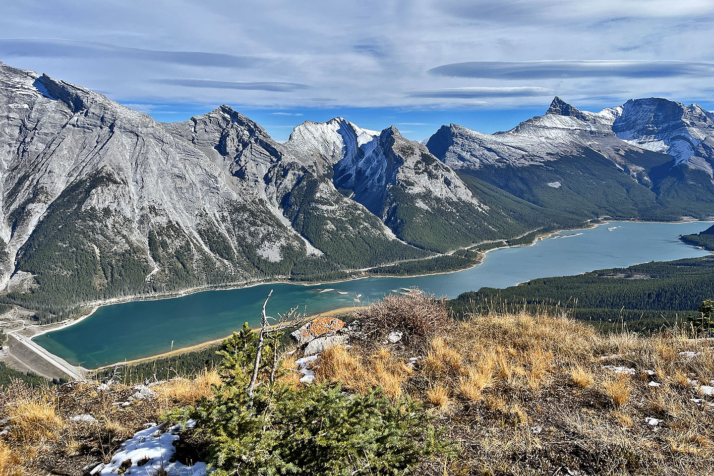 Spray Lakes Reservoir
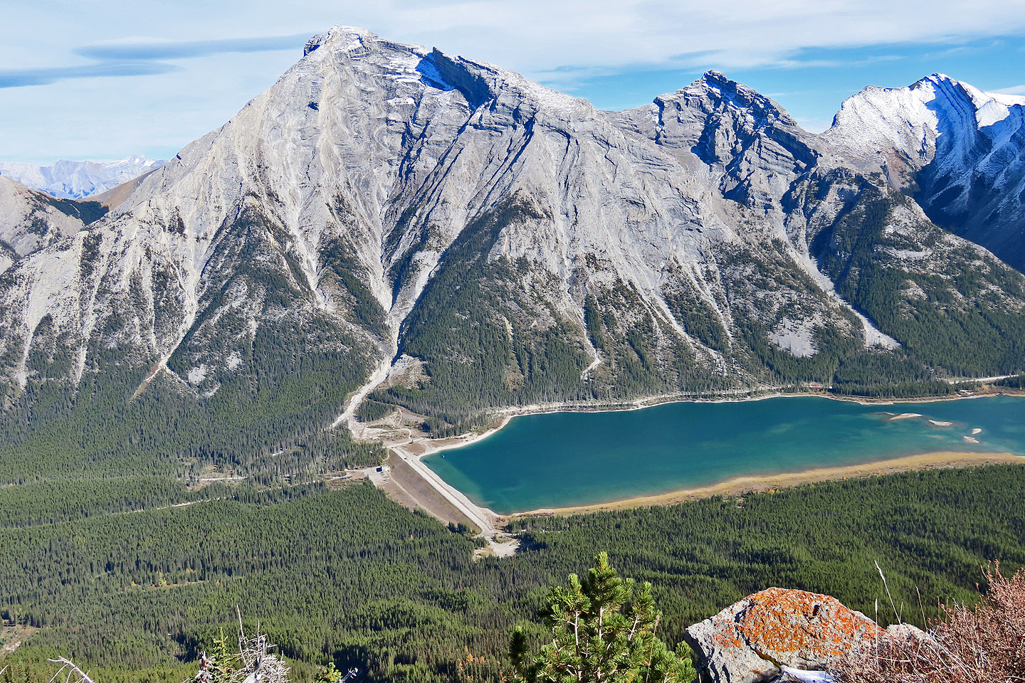 Big Sister towers over the parking lot (mouse over photo)
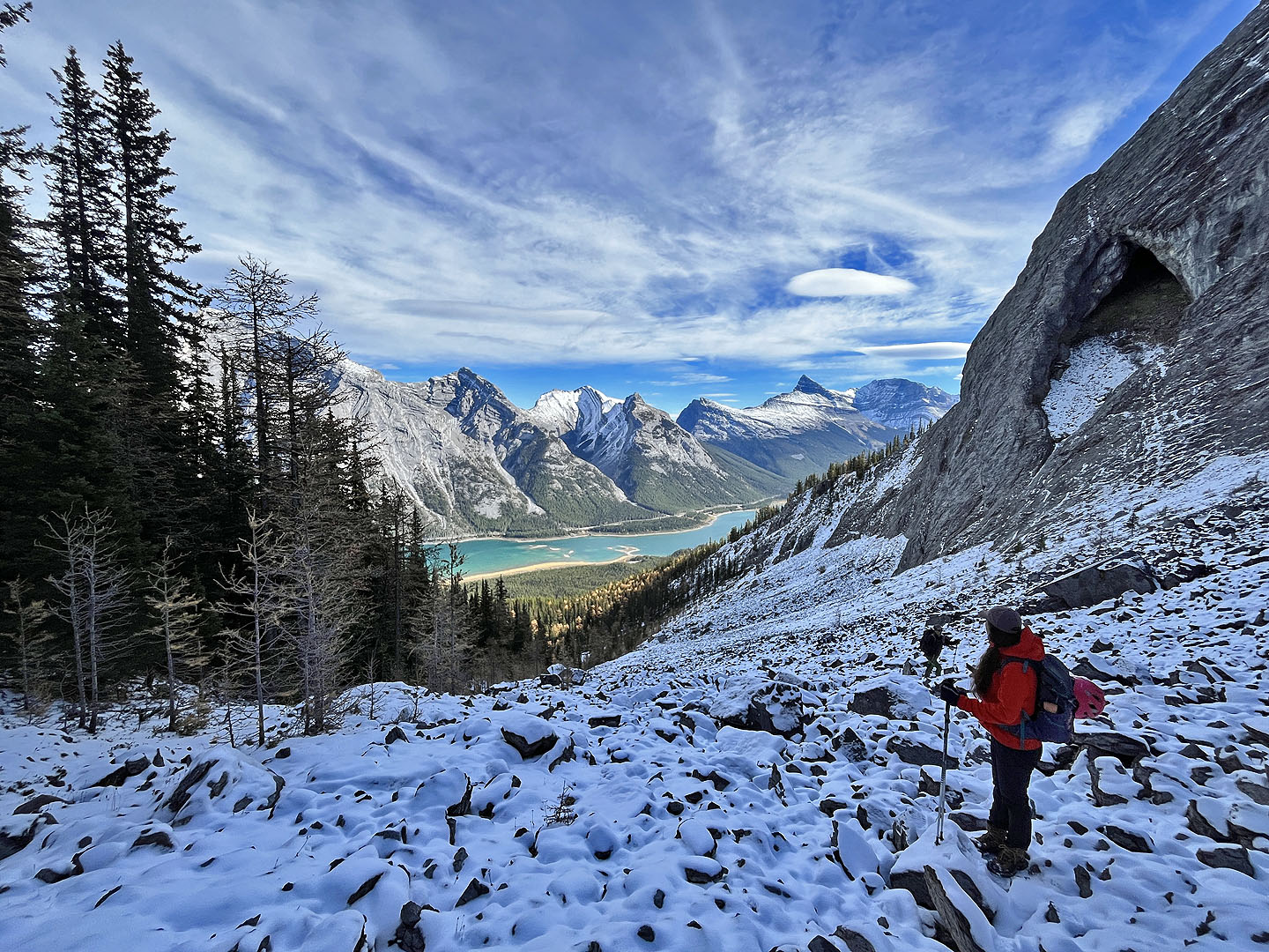
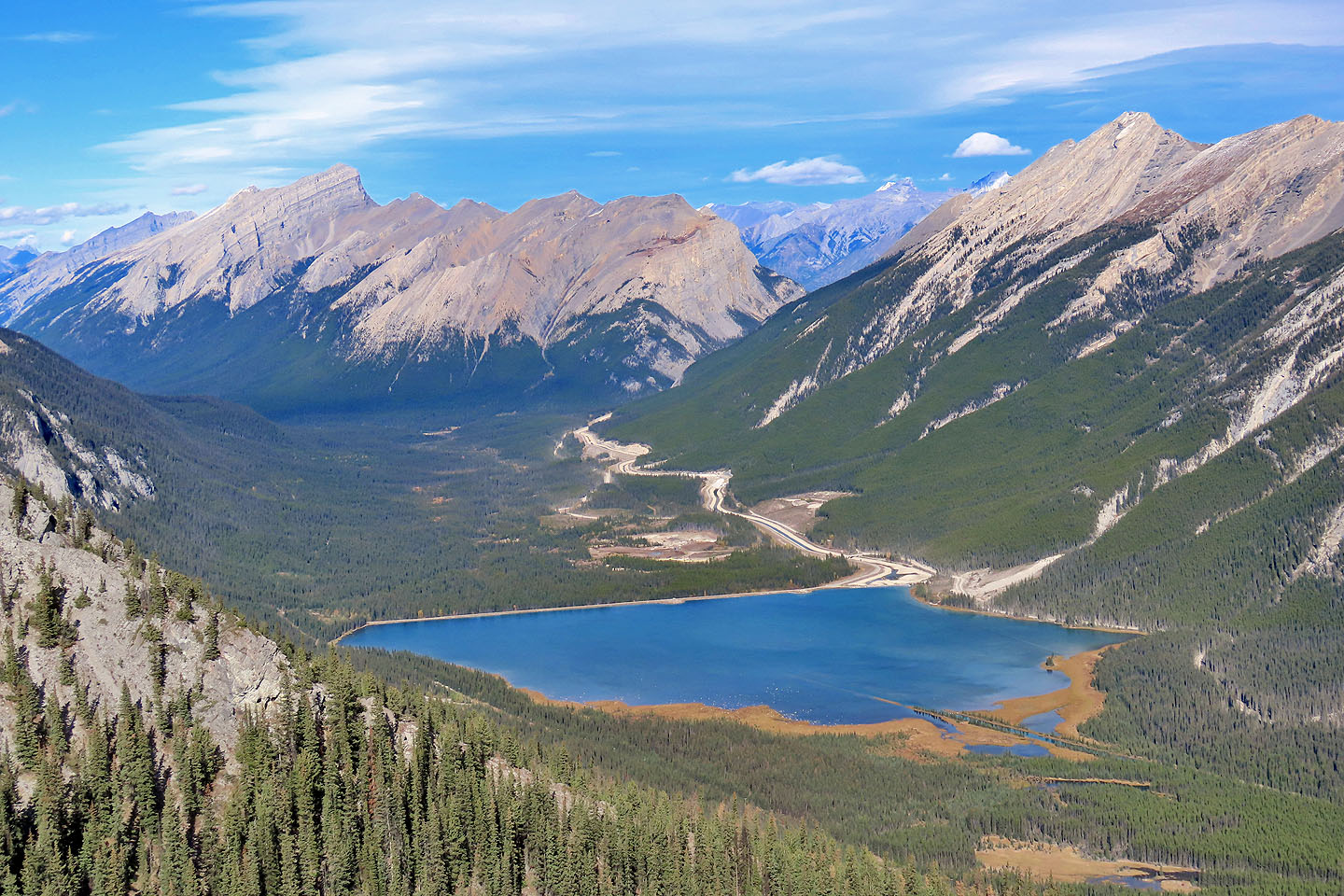 Mount Rundle appears above Goat Pond. Partly hidden across from the East End of Rundle is Ha Ling Peak (mouse
over to see hikers)
Mount Rundle appears above Goat Pond. Partly hidden across from the East End of Rundle is Ha Ling Peak (mouse
over to see hikers)
 Rebecca, Ann and Doug (lower left) descend a
scree patch from the saddle
Rebecca, Ann and Doug (lower left) descend a
scree patch from the saddle
 Going back across the cliff band
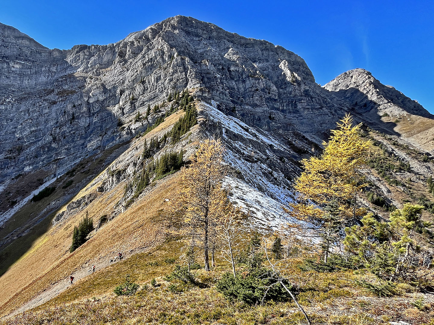
 Looking back at the knoll as we descended the
ridge
Looking back at the knoll as we descended the
ridge
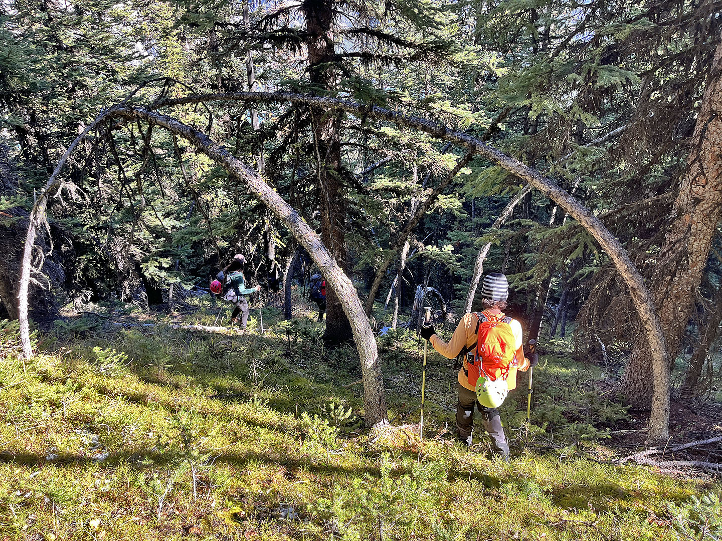 Light bushwhacking at first
Approaching the gully
 Looking back up the gully
We passed boulders lying in the gully
Back on the ridge
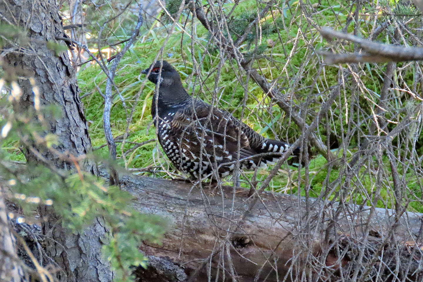 A spruce grouse kept an eye on us as we
passed by
A spruce grouse kept an eye on us as we
passed by
When we returned, two grizzlies were roaming the parking lot
 82 J/14 Spray Lakes Reservoir