bobspirko.ca | Home | Canada Trips | US Trips | Hiking | Snowshoeing | MAP | About

Okonnel Ridge
Kananaskis, Alberta
June 6, 2024
Distance: 6.8 km (4.2 mi)
Cumulative Elevation Gain: 235 m (771 ft)
I was curious about a low ridge in an out-of-the-way part of Kananaskis. Going by the shotgun shells and broken clay targets, the area probably sees more skeet shooters than hikers despite a No Shooting sign. I never heard of anyone hiking here.
The ridge lies east of Okotoks Mountain and west of Channel Ridge. It seemed fitting to call it "Okonnel Ridge," a portmanteau of the neighbouring mountains. Doug Robson joined me in exploring the ridge.
The hike begins just inside the boundary of Kananaskis. From a big parking area, we passed through a gate and headed south across an expansive meadow. There were sections of lingering bog from early spring, but we easily crossed them. On our left, a fence with a No Trespassing sign marked the park boundary.
The meadow ends abruptly at the foot of a wooded slope on Okonnel Ridge. After entering the forest by the fence, we found an animal trail. Overgrown in places, we had to push through bushes at times. But near the ridgetop, the vegetation relaxed, and we followed the perimeter trail easily.
The park boundary doesn't continue straight but takes a ninety-degree turn 1.6 km from the trailhead. We turned left to follow the perimeter trail running east. After 550 m and before the trail drops down, we left it. We hiked a short distance to a meadow on a hilltop where we found views of distant mountains.
We crossed the meadow, entered the forest and followed the ridge to the summit. Unfortunately, trees obscured the view. We took a break and continued south along the ridge before dropping down the west slope. We planned on completing a loop.
We soon came to a clearcut slope. The forest resumed at the bottom, but a skid trail – a temporary logging road – allowed us to continue west. But much of it was covered with slash. We avoided the worst of the logging debris by entering the forest. After following the skid trail for 500 m, we came across an animal trail on the right side. The trail passes through a pleasant forest for a kilometre before reaching an immense meadow. We followed the trail 2 km back to the parking lot, through a beautiful verdant swath lined with trees.
Although Okonnel Ridge lacks significant ridgeline views, I think it serves well as an off-season hike in a novel area. It's a relatively short drive from Calgary, and 75% of our route was on trails. Doug and I enjoyed the hike and talked about returning in the fall when aspen leaves are turning yellow.
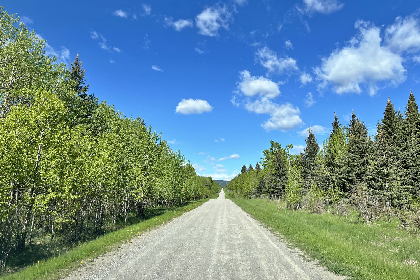 The road to the trailhead
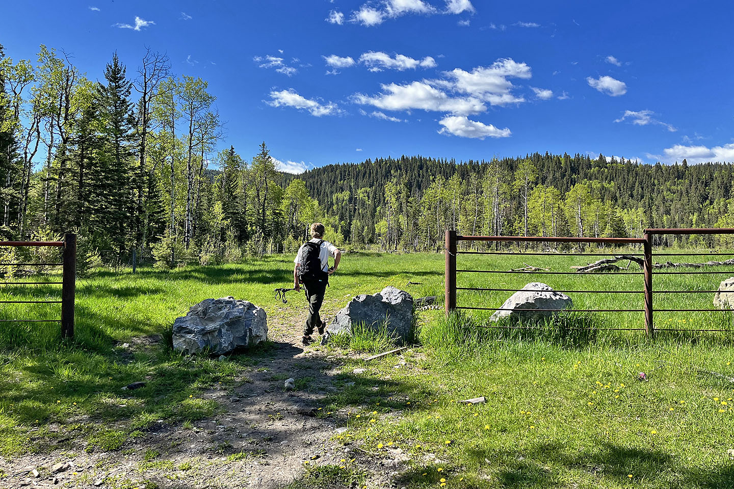 Doug walks through a gate at the start
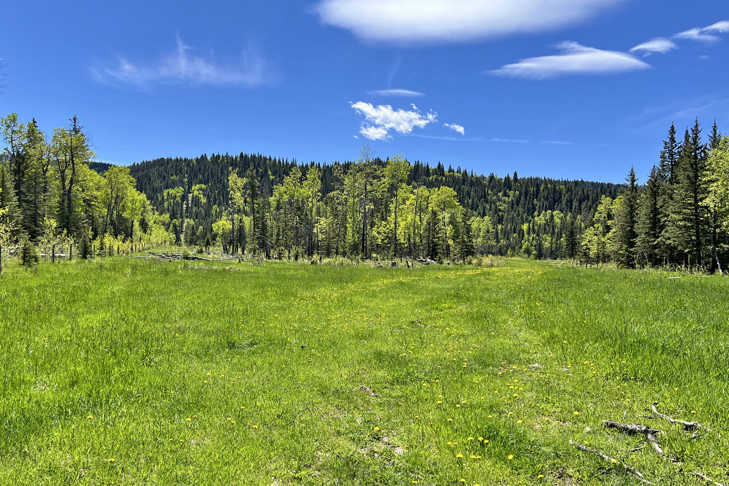 We kept to the perimeter fence on the left but returned through the opening on the right. Okonnel Ridge appears ahead.
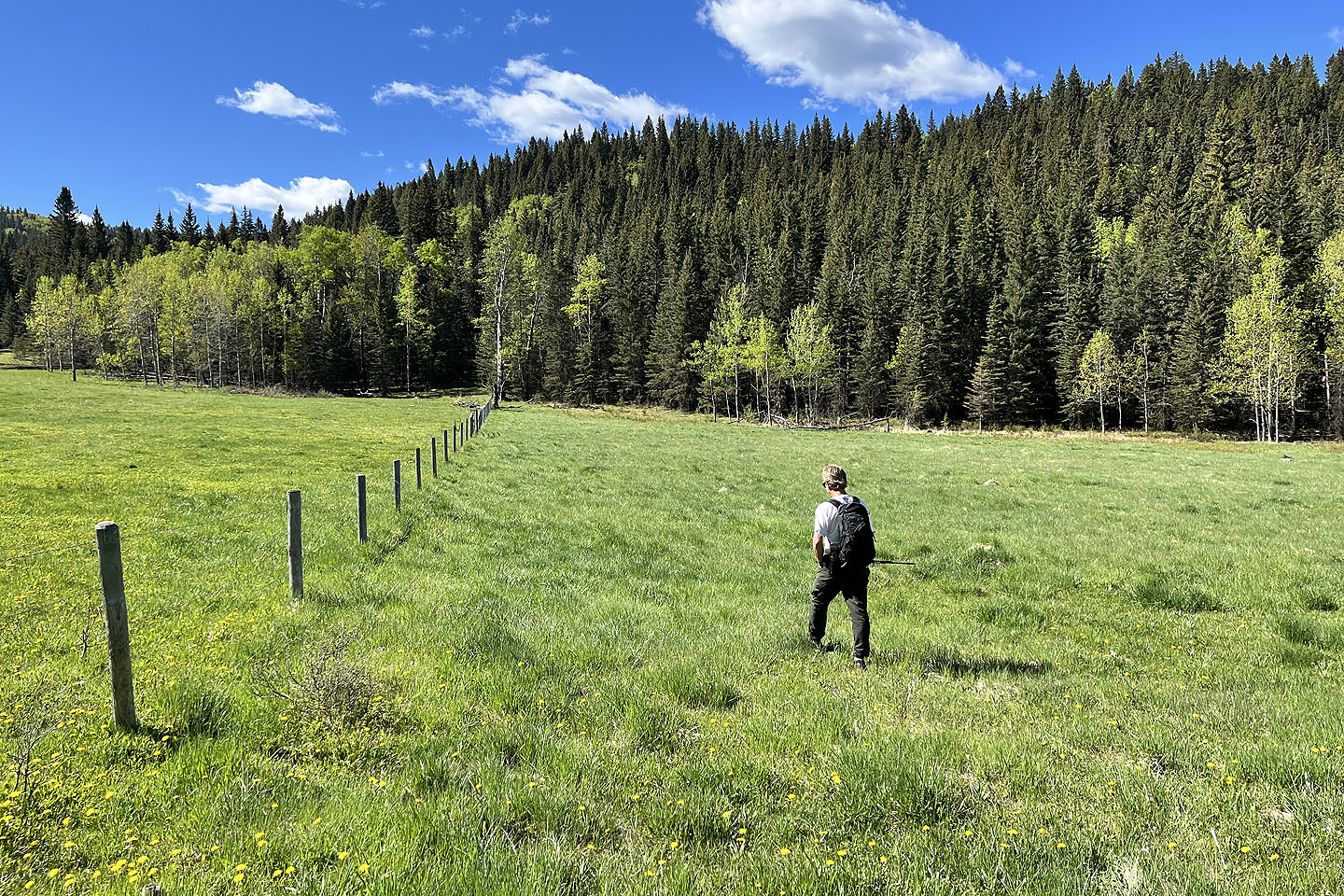 After entering the trees by the fence, we found a trail
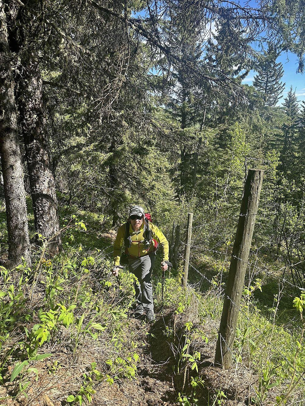
The trail on the lower slope was a bit overgrown
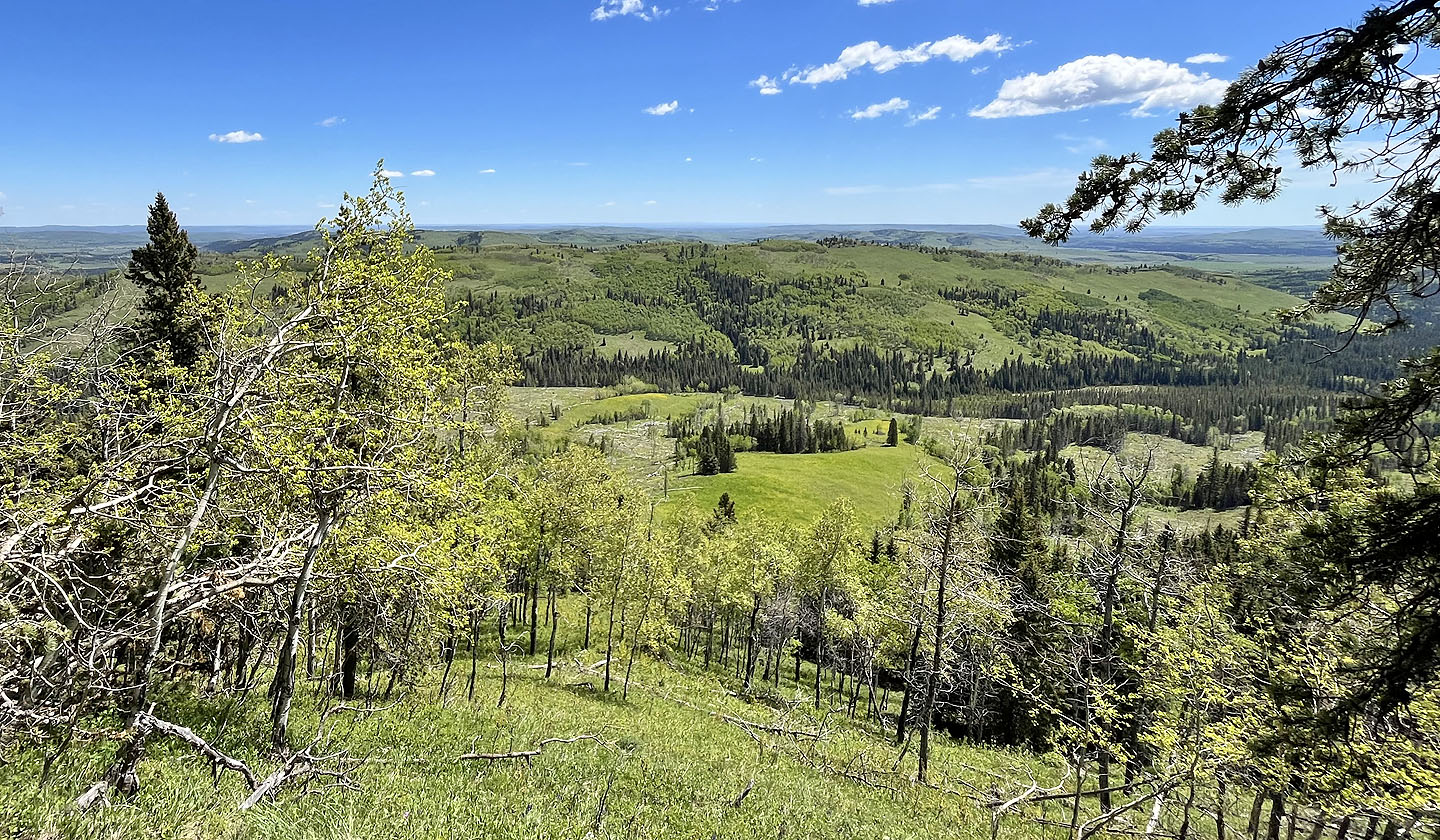
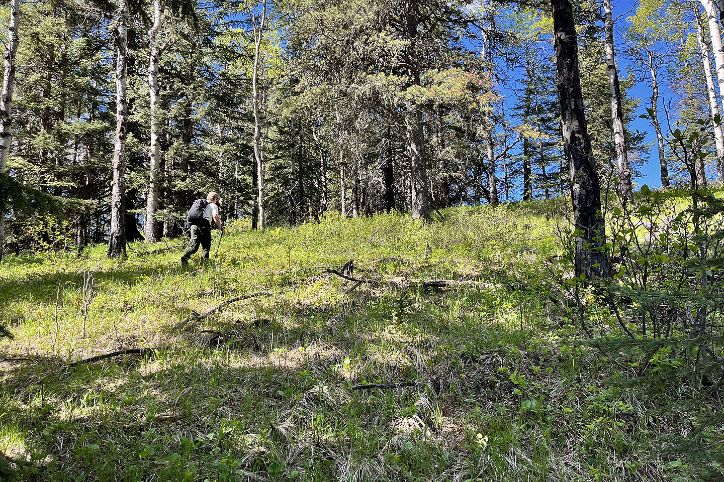 We left the trail to check out the view on the ridge
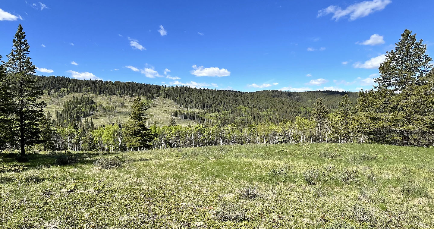 An unnamed ridge lies west. Channel Ridge is on the other side of it.
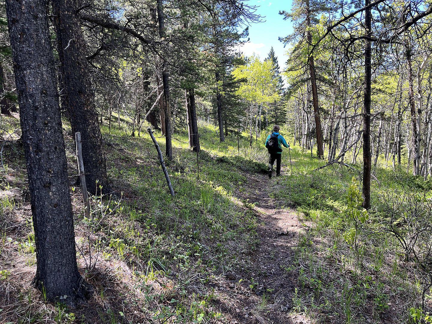 Continuing south on the perimeter trail
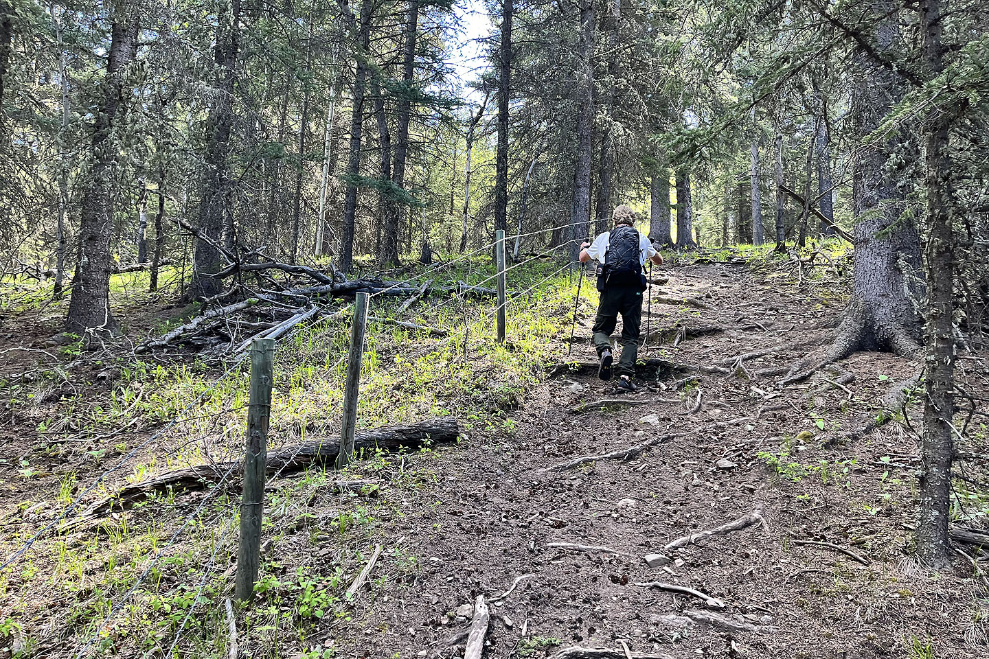 The trail running south intersects the trail going east, although we had to hop a barbwire fence
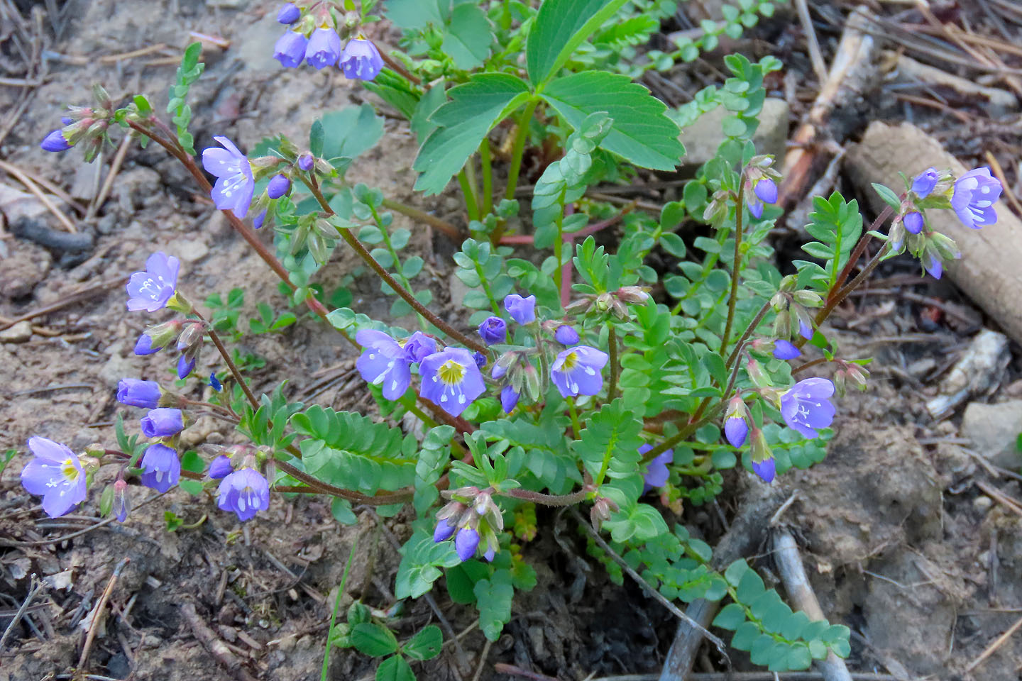 Jacob's ladder
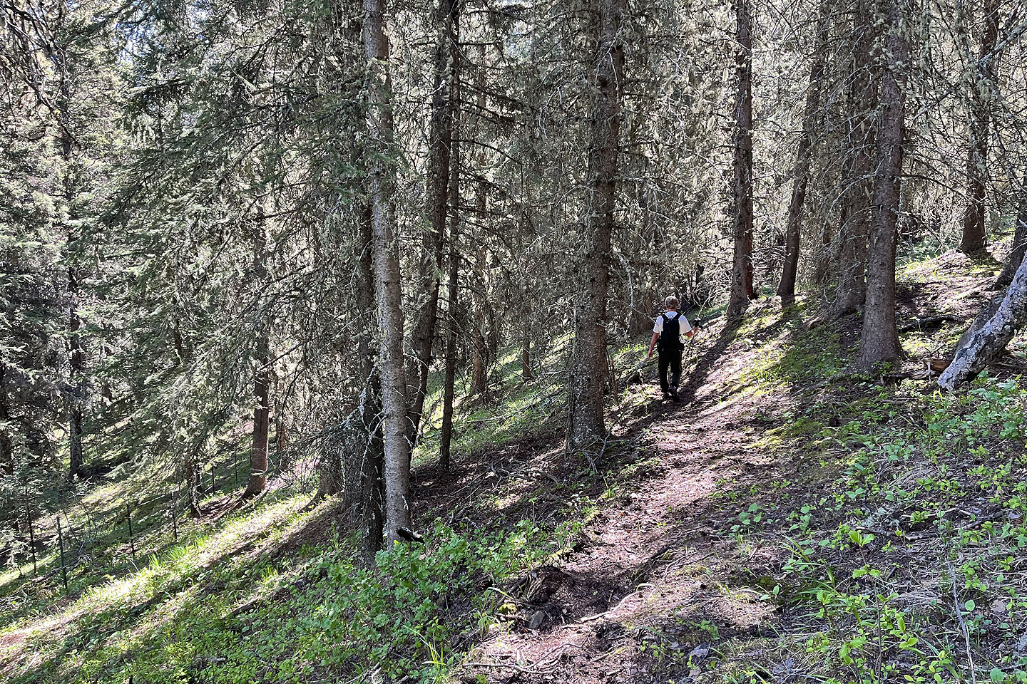 Continuing east. A short trail section stays high before returning to the fence seen left.
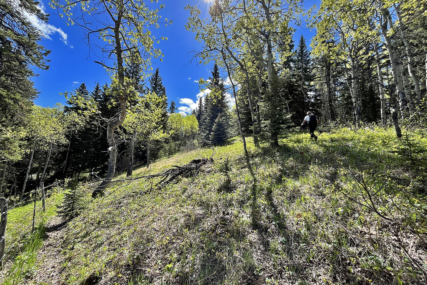 We left the trail before it drops down and headed to a viewpoint
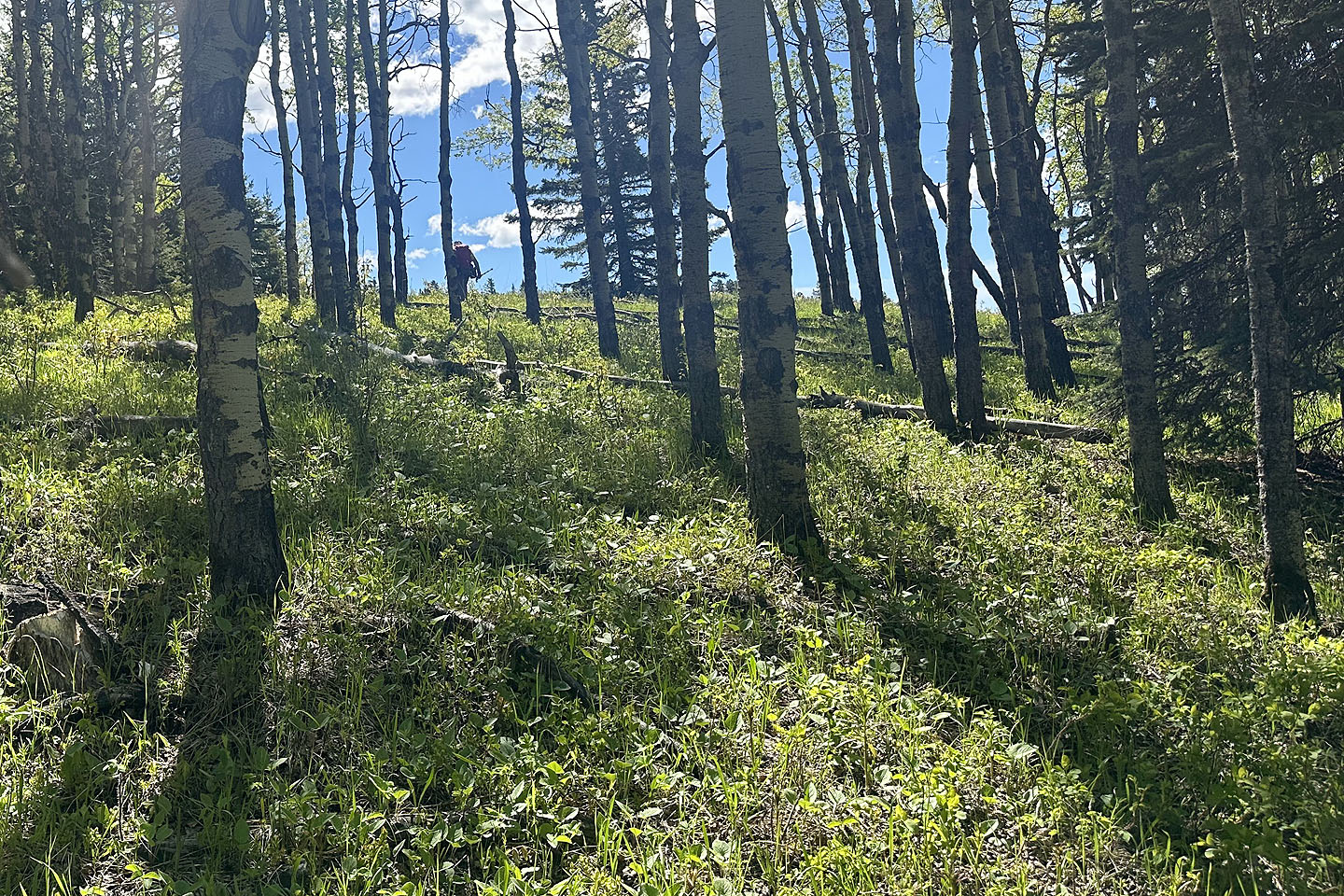 We easily passed through the trees
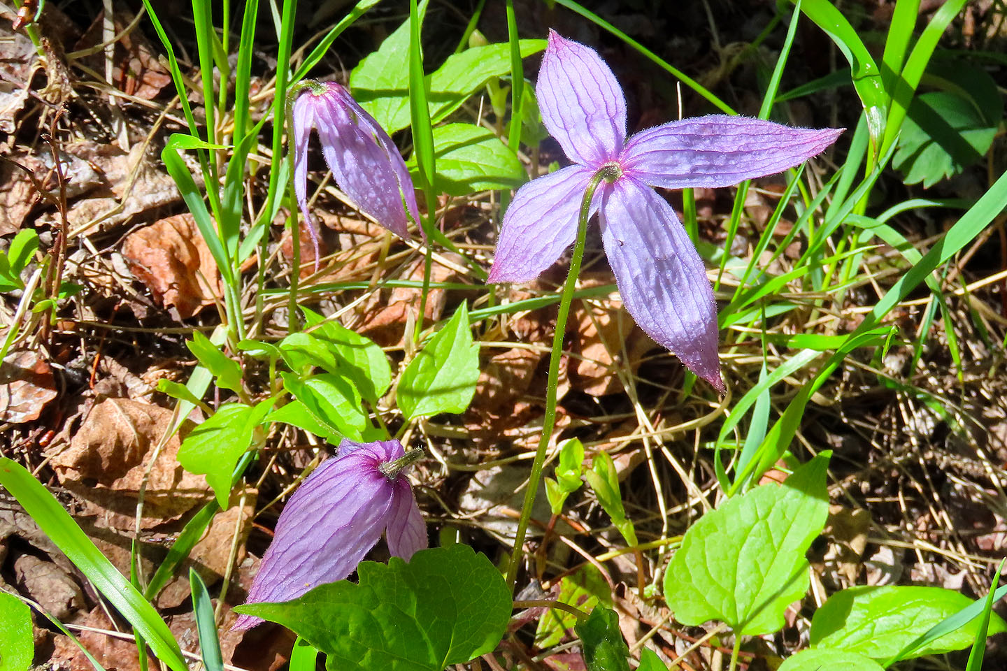 Blue clematis
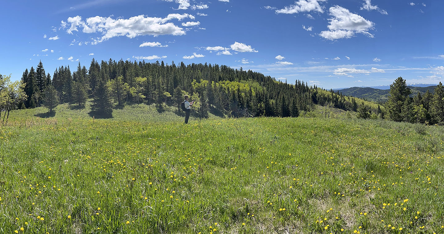 Doug stopped to take a photo in a meadow
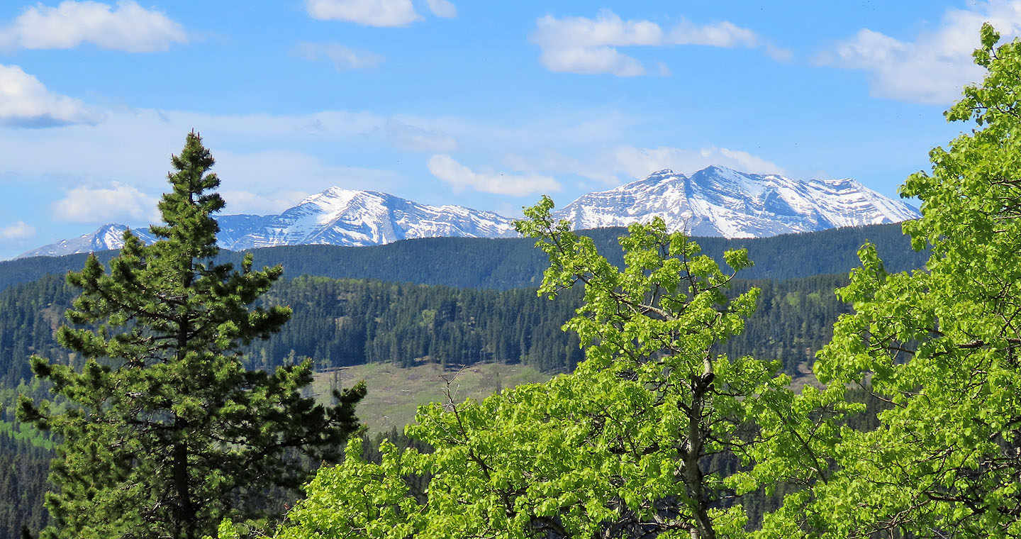 Holy Cross Mountain and Mount Head
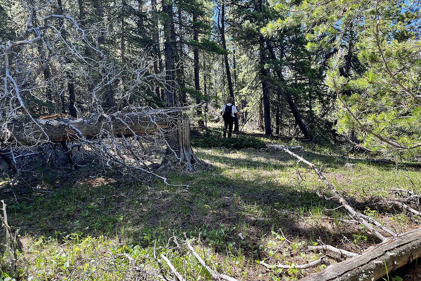 We continued along the ridge, skirting deadfall at times
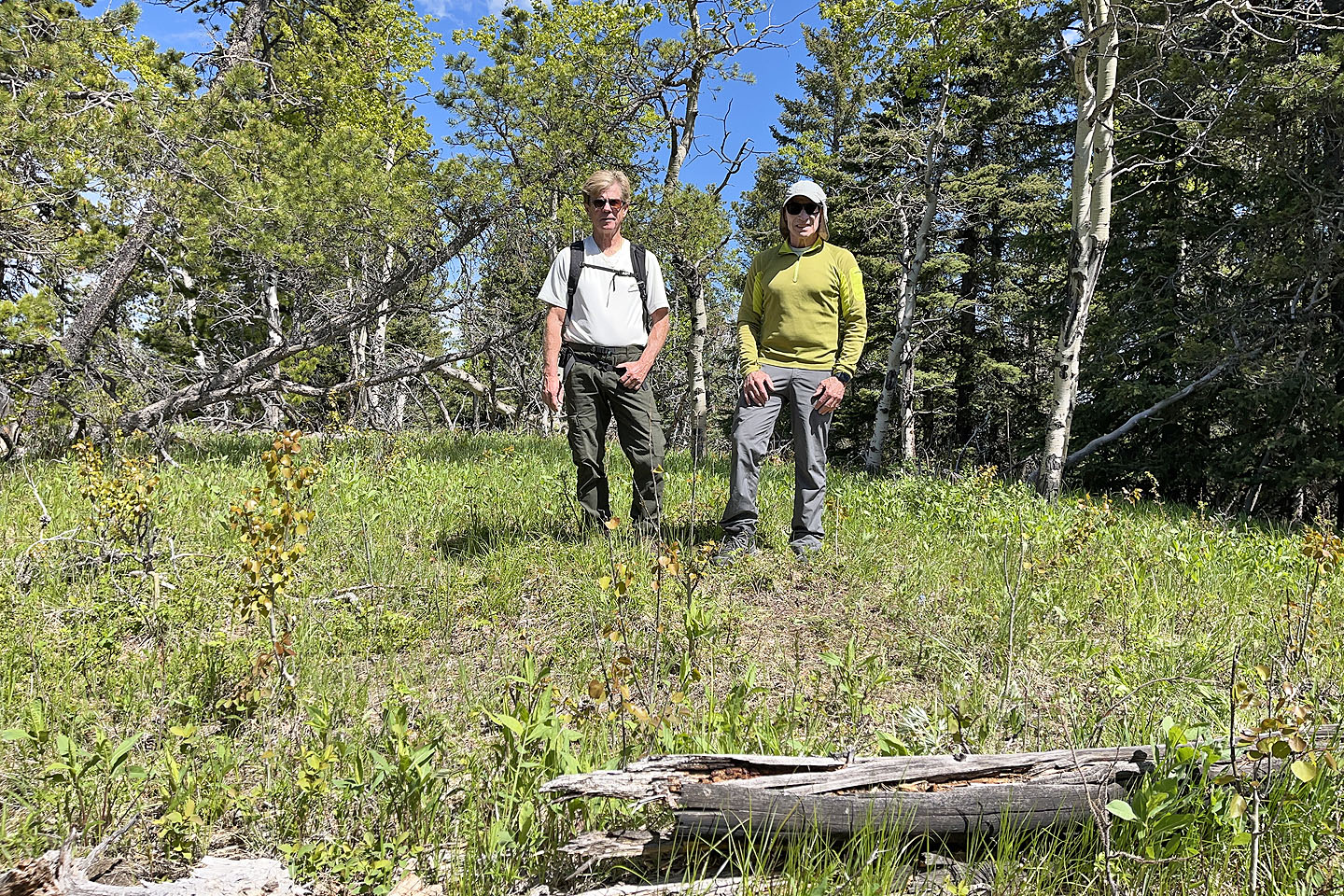 Unfortunately, there were no summit views
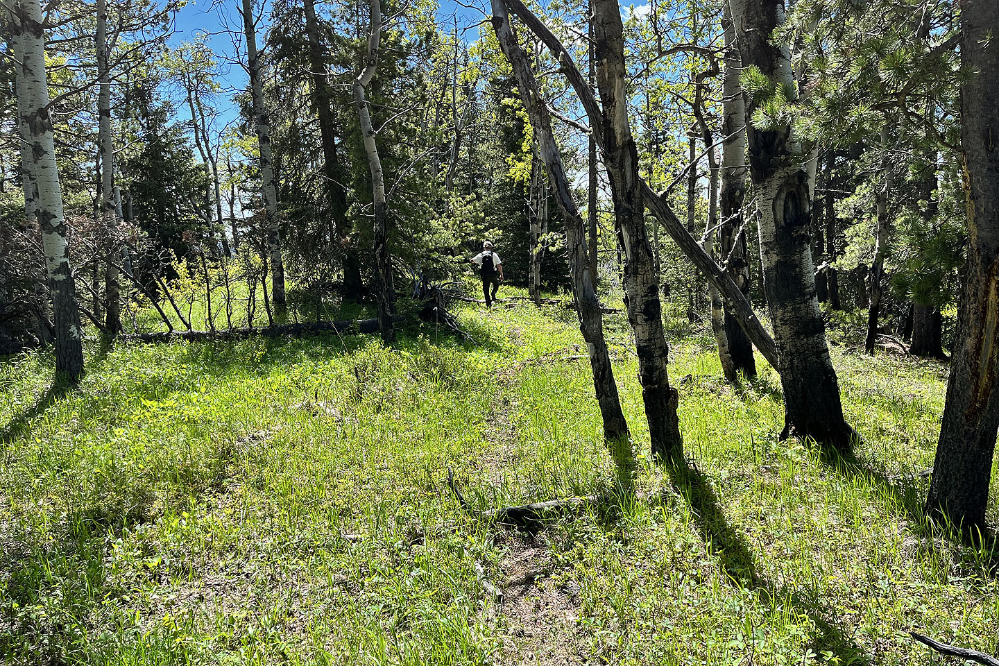 Continuing along the ridge
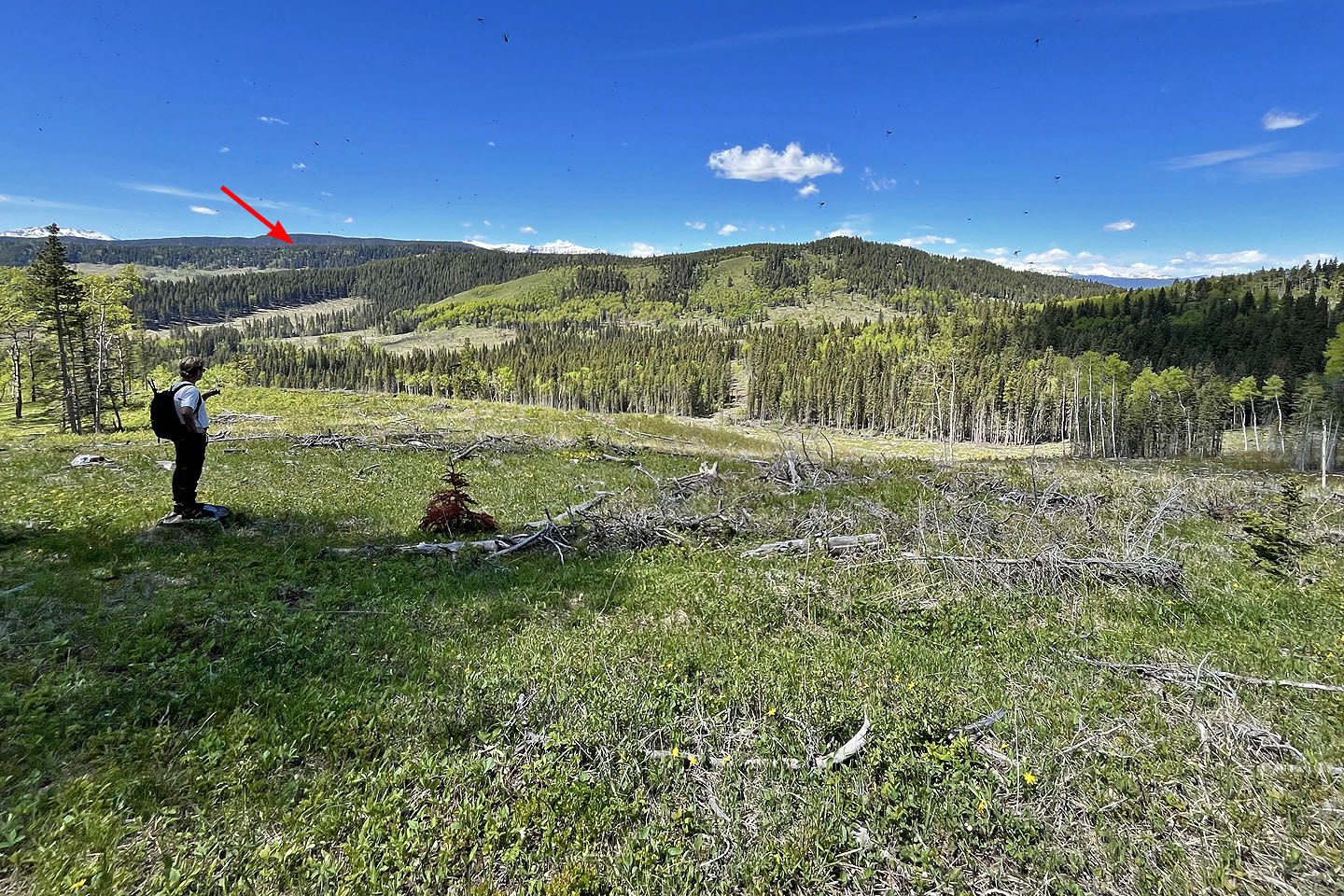 We dropped down the west slope to a clearcut. We'll make our way to the skid trail in the centre. Channel Ridge is on the left.
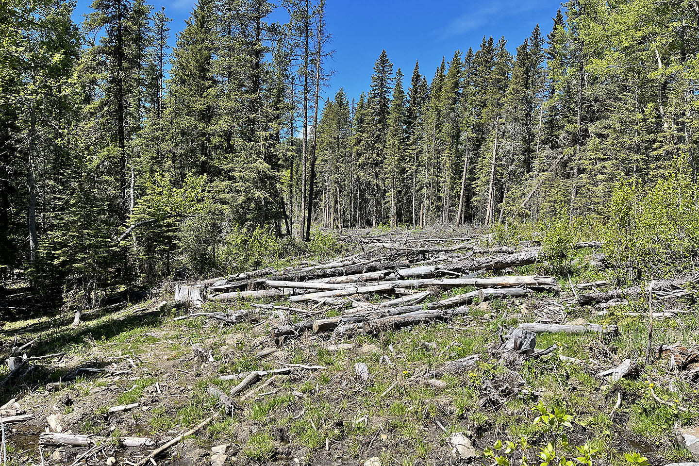 At first we kept in the forest left of the skid trail to avoid the slash
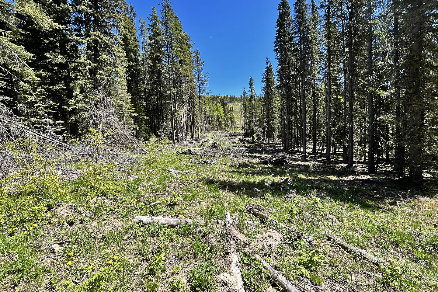 Looking back after returning to the trail
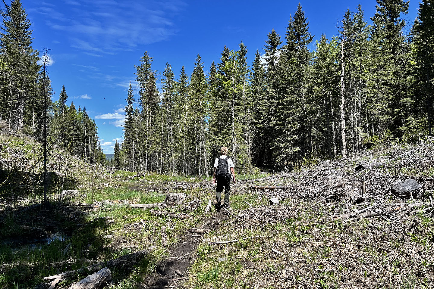 We found an animal trail that soon ended but picked up another in the shadow to the right of Doug
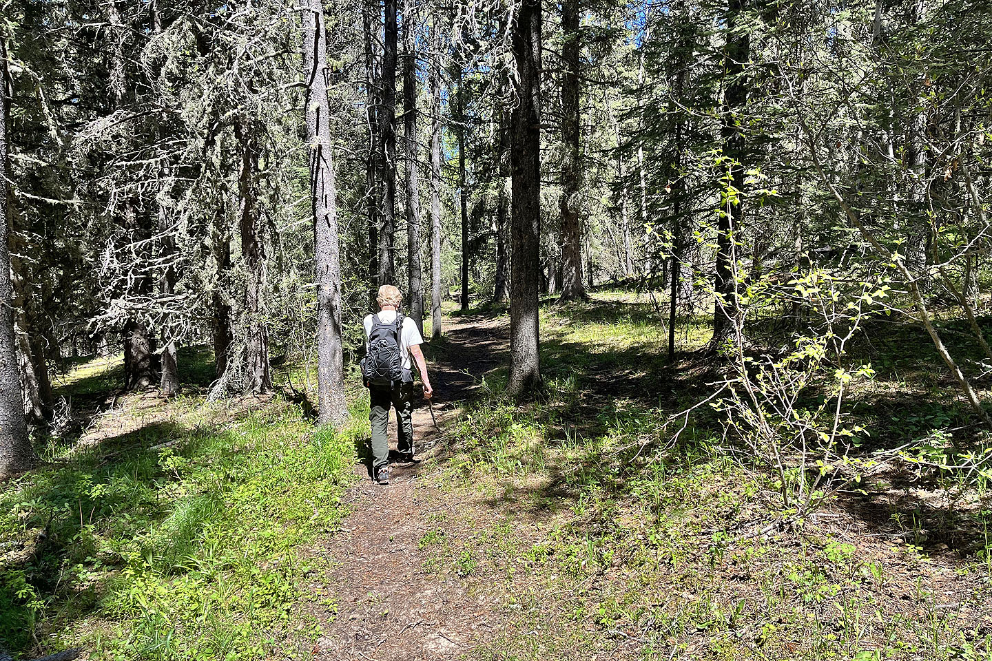
The trail runs 3 km back to the parking lot
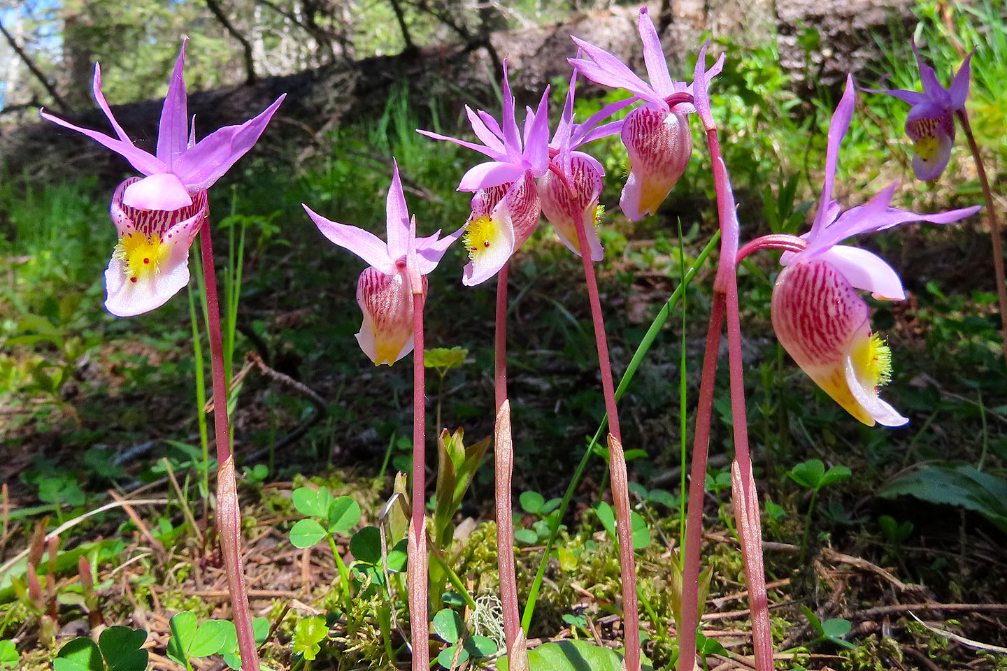 Calypso orchids
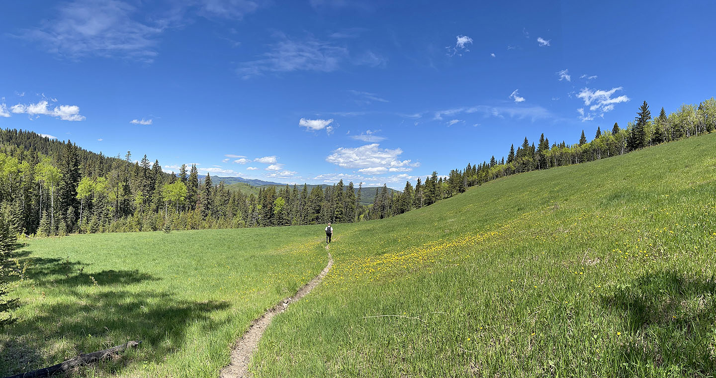 The last 2 km runs through a meadow
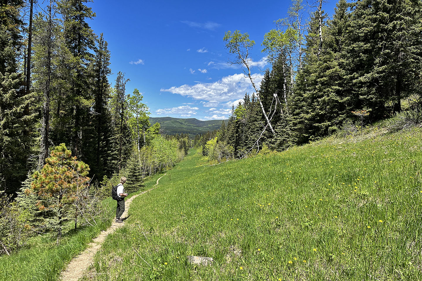 Continuing down the trail
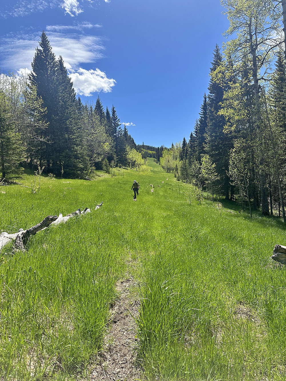
Looking back. The trail occasionally disappeared in tall grass.
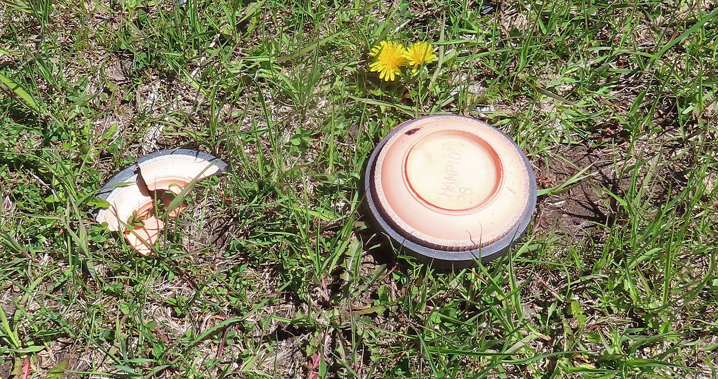 Sadly, skeet shooters have ignored the No Shooting signs
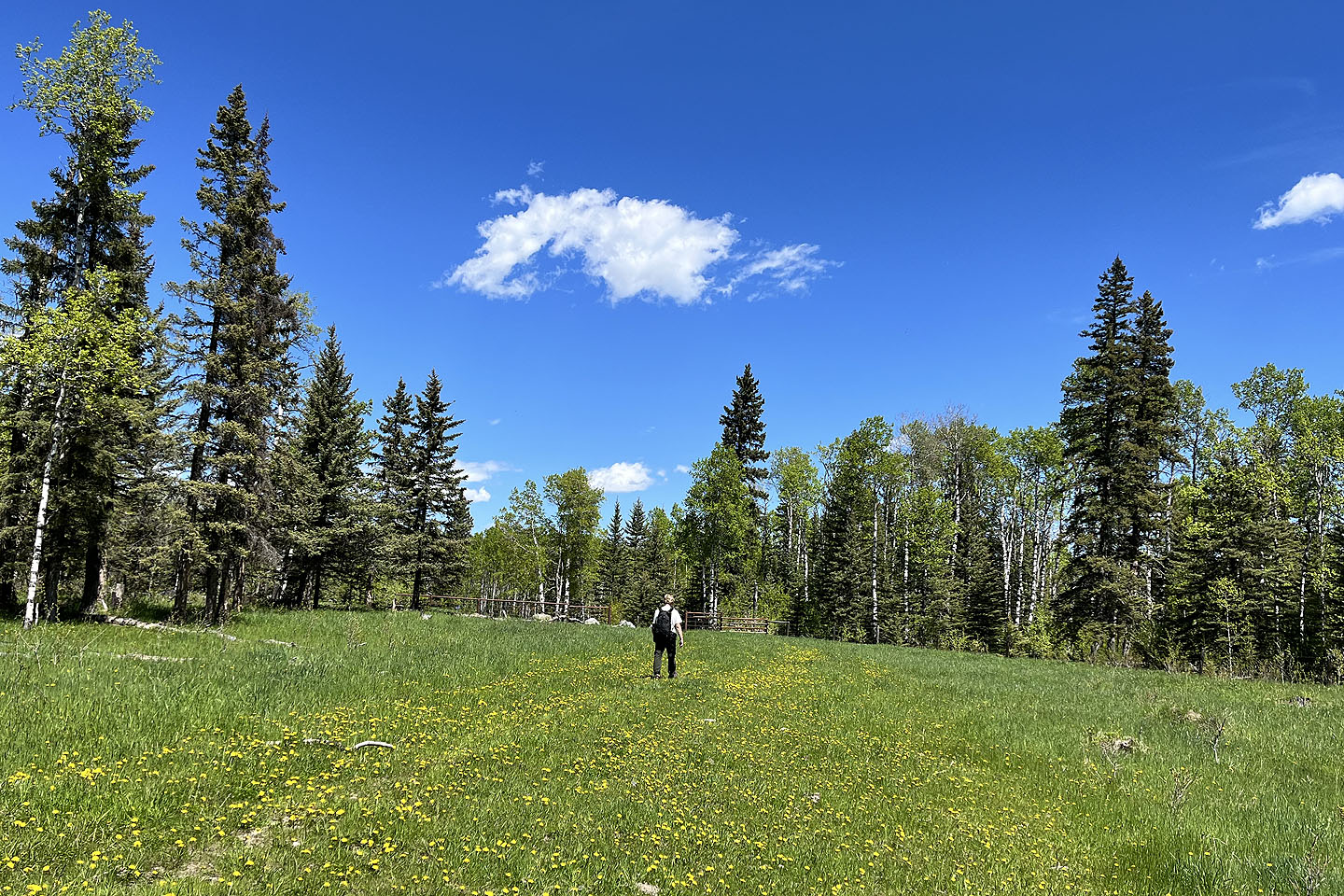 Arriving back at the gate
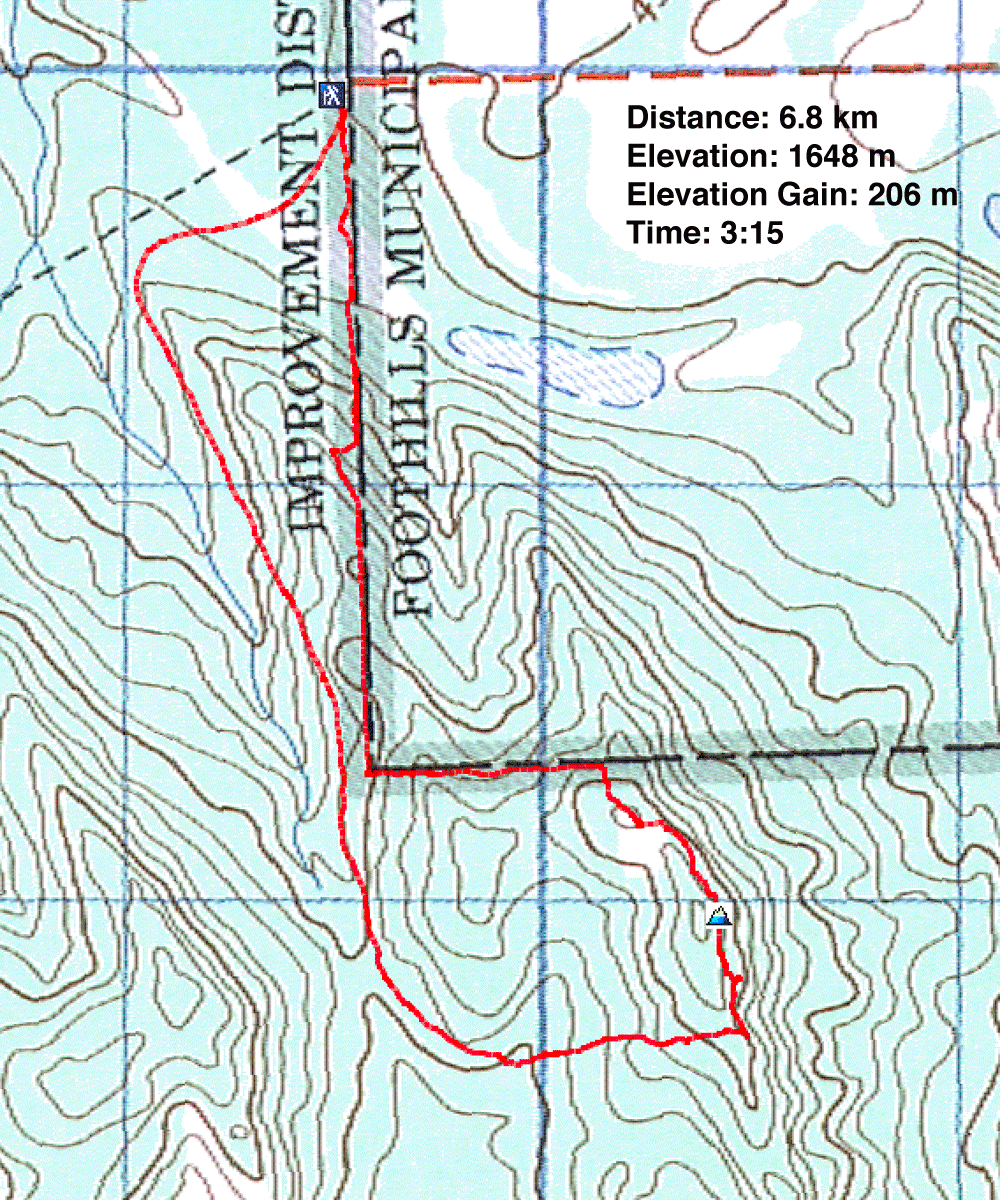
82 J/9 Turner Valley
