bobspirko.ca | Home | Canada Trips | US Trips | Hiking | Snowshoeing | MAP | ABOUT

Mount Pringle
Kananaskis, Alberta
May 18, 2020
Distance: 9.1 km (5.7 mi)
Cumulative Elevation Gain: 280 m (919 ft)
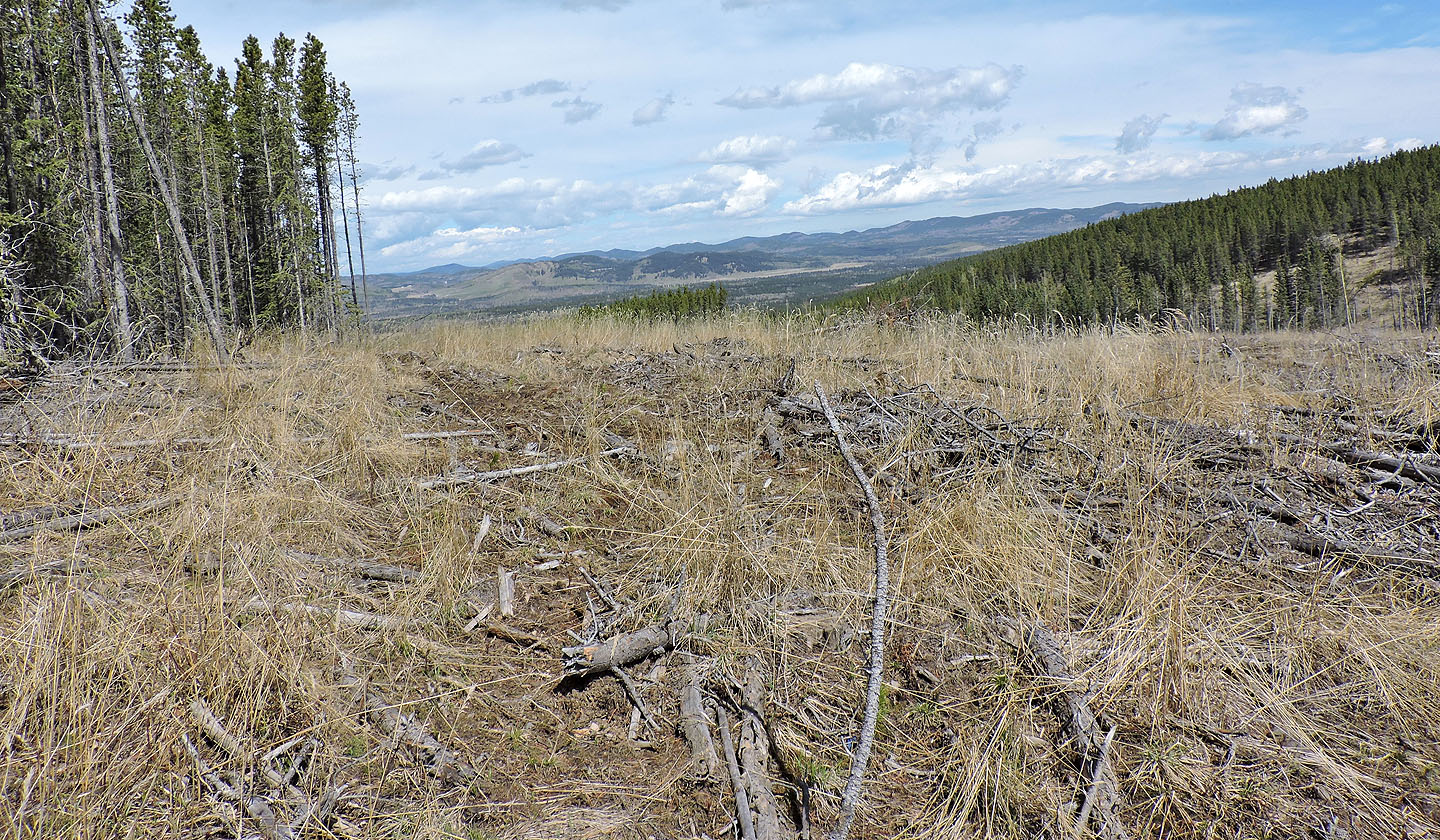
The ascent of Mount Pringle is noteworthy for its cutline, a forest corridor that catapults you to the ridge. But in all else, it is lacking. Pringle is too low to be physically challenging and too forested to display bloggable views. Only below the summit, on a semi-open slope, is there a semblance of a panoramic scene. Adding to the list of drawbacks is an approach that includes either sloshing through a swamp (except in winter when it's frozen) or hobbling up a cutblock.
I took the cutblock because it looked like a road on Google Earth. But cutblock or swamp, the trailhead is the same, a 15-minute drive from Waiparous Village, at the end of Richards Road. After parking, I walked through a gate and made my way to a back road.
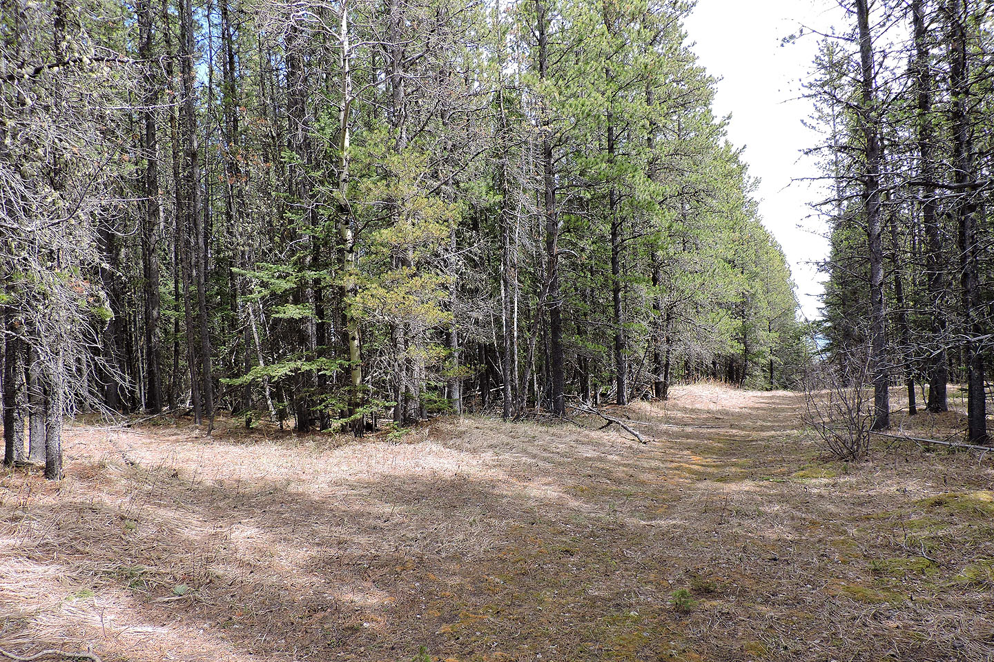
The road runs straight to the west slope of Pringle before bending left (this is a likely spot to bushwhack to the cutline 250 m away). After the bend, I continued 600 m up the road to a side road. Promising at first, it soon became full of rubble left over from logging. Before long, I realized I had to leave it and head to a cutblock. The cutblock was such a mess – boggy and strewn with detritus – that I had to follow the edge of the forest. I gratefully reached the cutline.
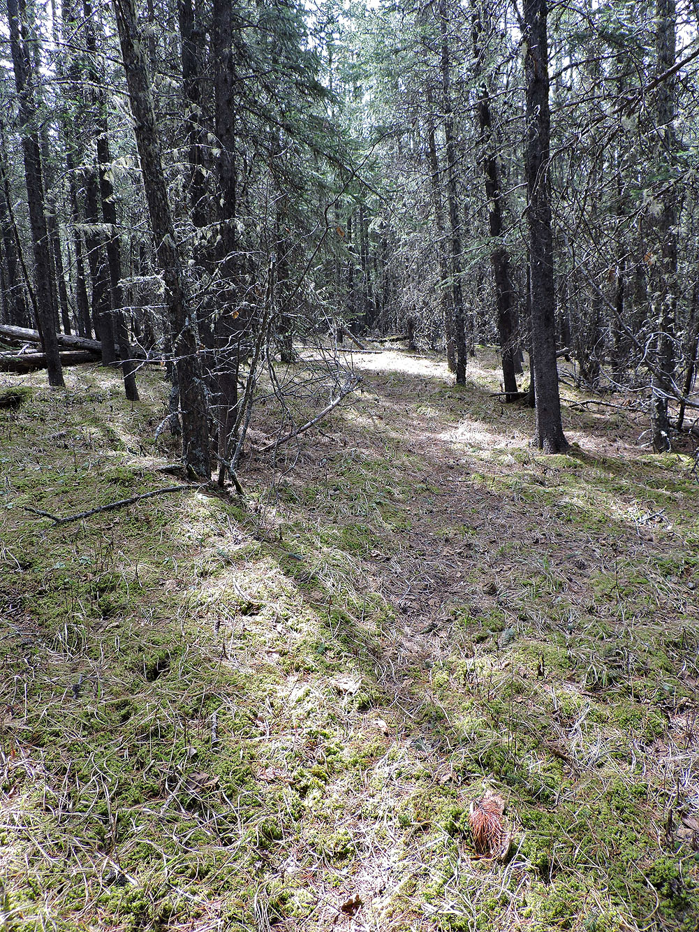
I hiked up the cutline, passed more cutblocks, and crested the ridge. Here I found a pleasant trail that I'm certain was man-made. I followed it, perhaps stubbornly, as it went in the right direction but kept losing elevation. Eventually, I conceded it was futile to continue; I bushwhacked up to the ridge crest. I soon found a vague trail and with a bit of searching, connected it with other trails to reach another cutline, a junction of sorts.
I could have bushwhacked to the summit 300 m away, but it was easier to take a road from the cutline to a trail, a trail that stops just short of the treed top of Pringle. After passing over the summit, I came to the semi-open south slope.
I spent a half-hour there before turning around. I retraced my paths but didn't drop all the way down to that man-made trail. Instead, I traversed and caught the trail high on the ridge. I returned to the cutline and started down it.
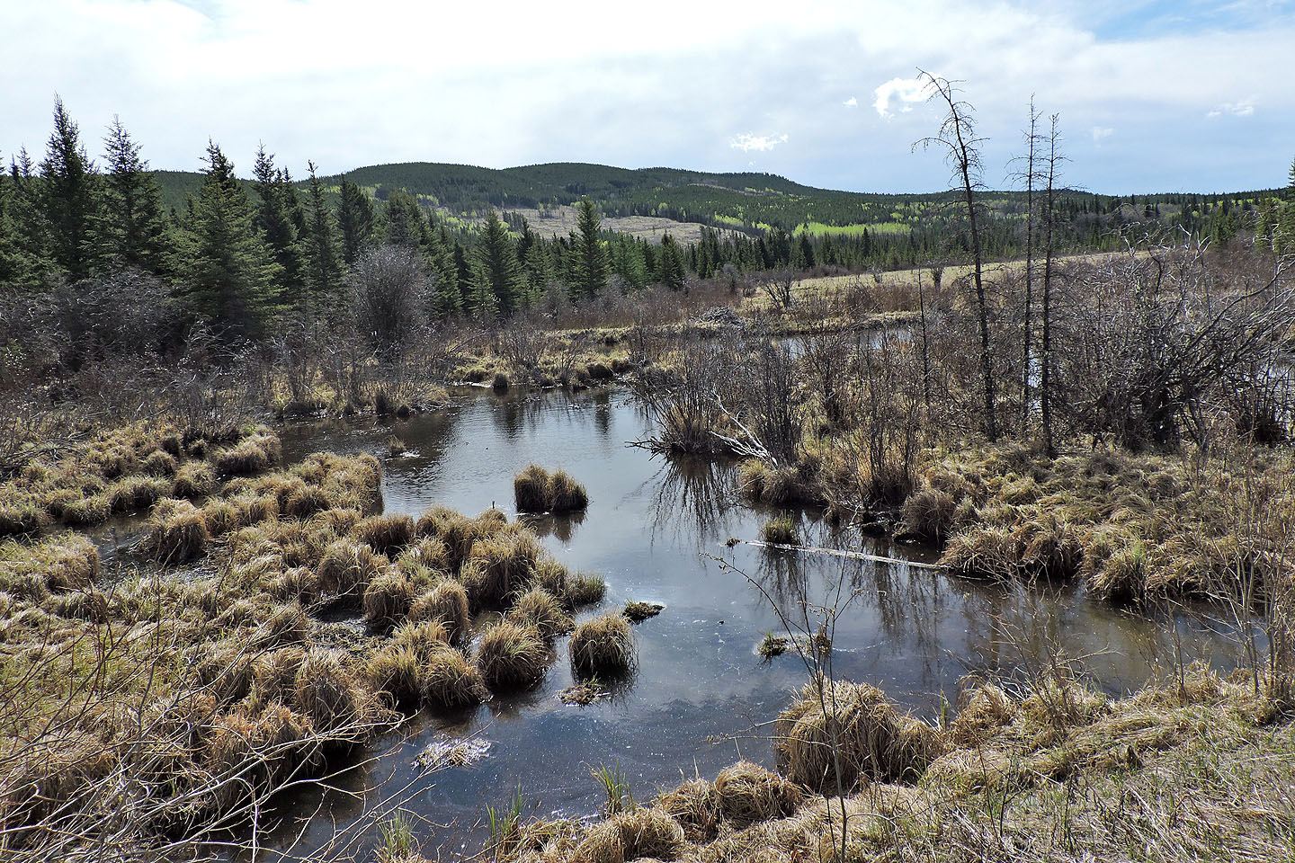
Not wishing to revisit the awful cutblock I had ascended, I decided to take my chances with the marsh. Actually, the cutline crosses two marshes. The first wasn't bad, but the second, bedevilled with deep rivulets, was formidable. I was forced to detour around the worst spots. Somehow I negotiated both swamps without a drop of water getting in my boots.
When I got back on the cutline, I was surprised to face four wild horses a few dozen metres away. They, too, were surprised. They turned tail and galloped away. Wishing to get a photo of them, I hoofed it up the cutline after them. I found them standing in a clearing. Although wary, they allowed me to approach and take photos. Then it was time to go. As I headed to the bend in the road that leads back to the trailhead, I could hear them neighing. The sight and the sound of wild horses put a fine finish on my trip up Mount Pringle.
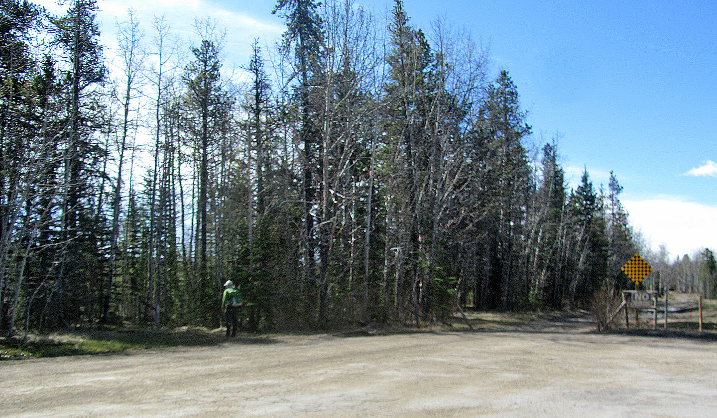
After parking at the end of Richards Road, go through a gate on the left, then head south to a back road
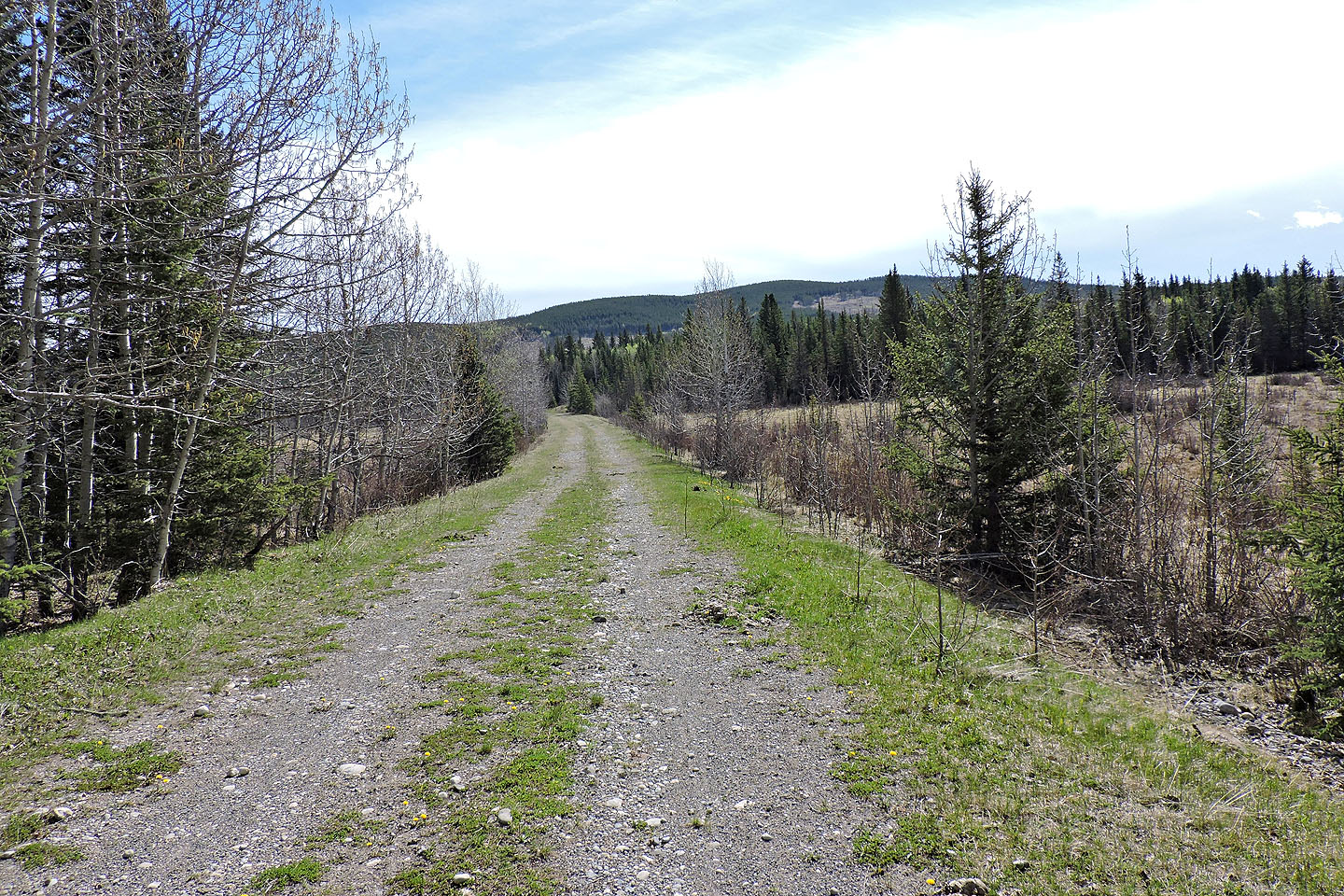
The road leads to the base of Mount Pringle
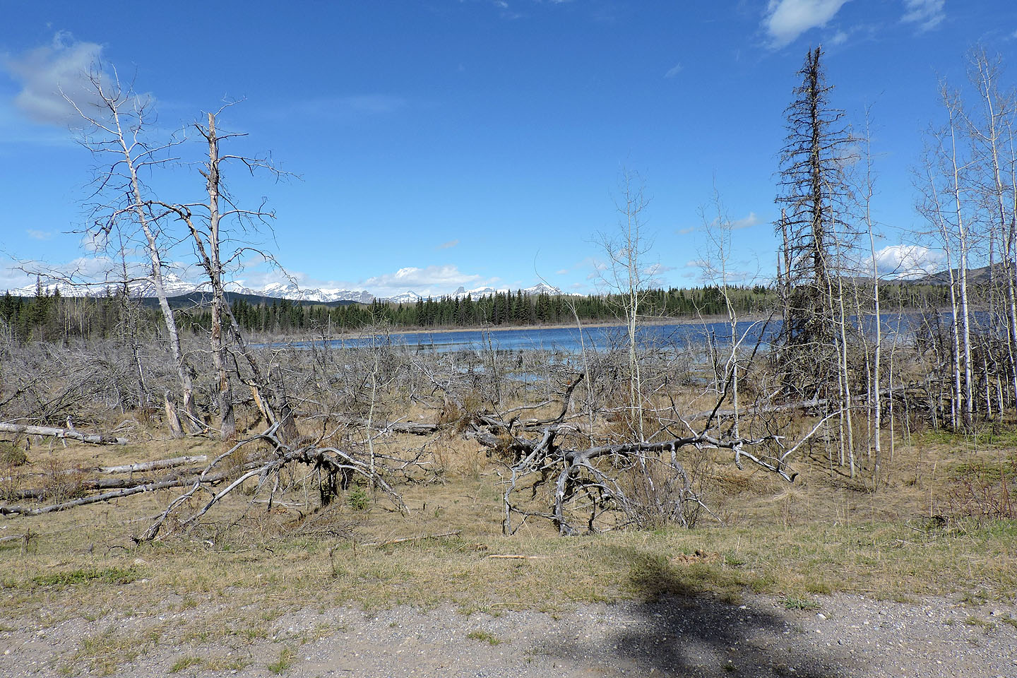
Kangienos Lake seen from the bend in the road
View of Pringle from the road
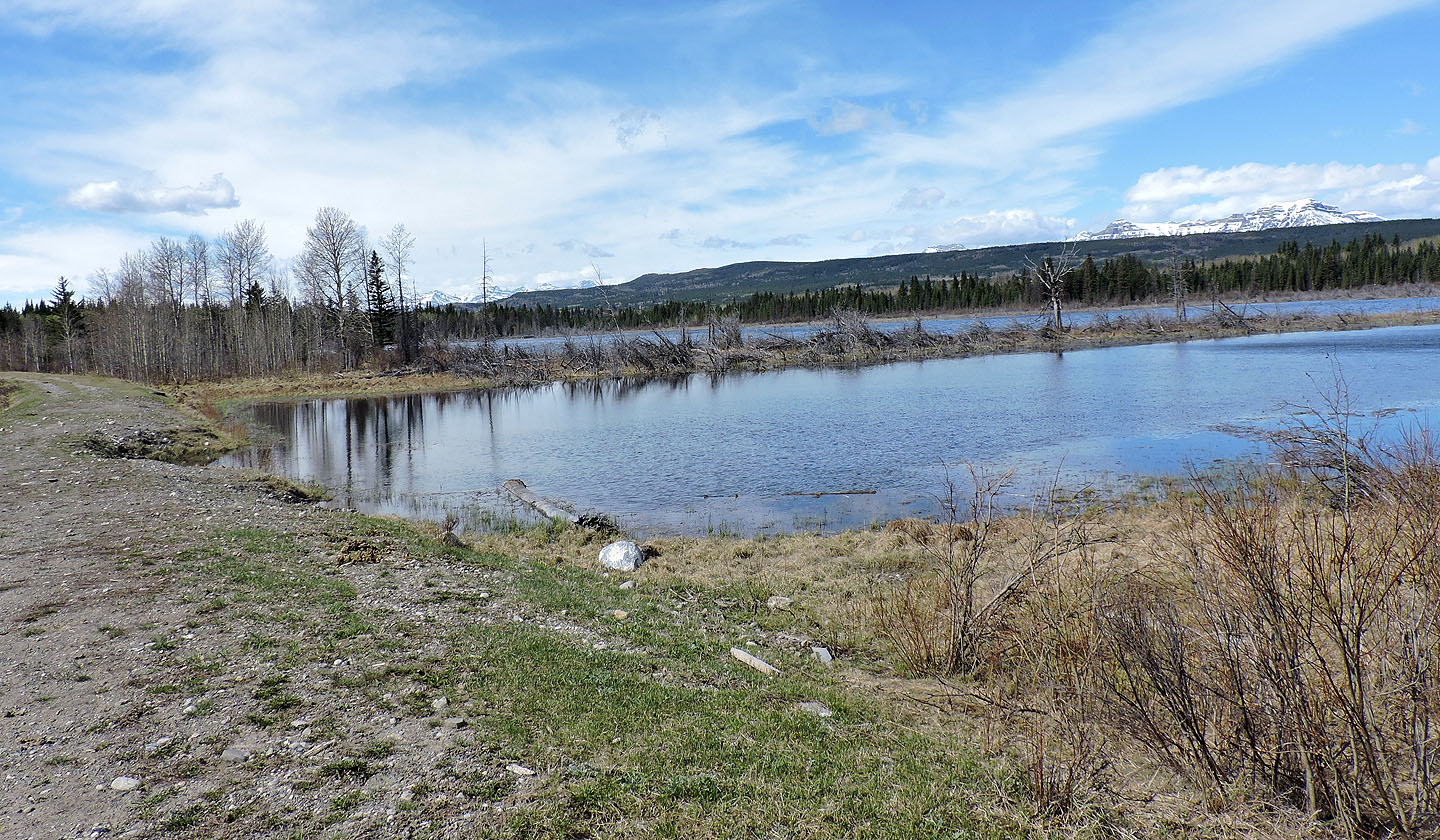
Kangienos Lake just before I turned onto the side road
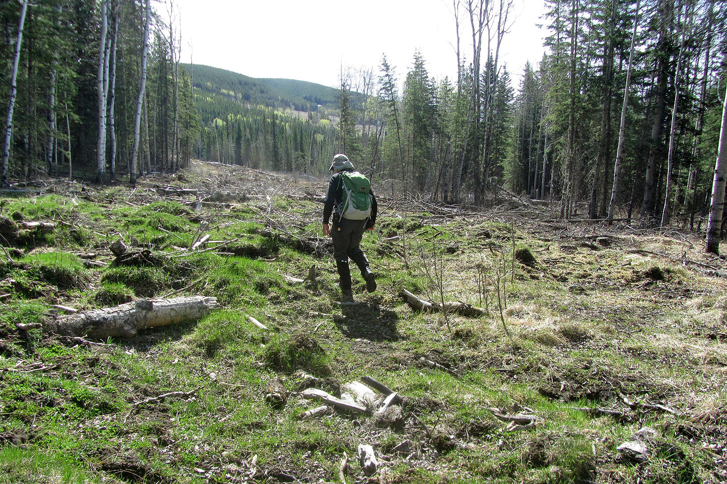 The side road began well, but then it turned into a cutblock
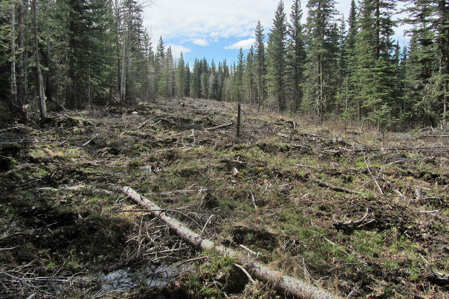
It was such a mess, and boggy to boot, that I ended up following the edge of the forest
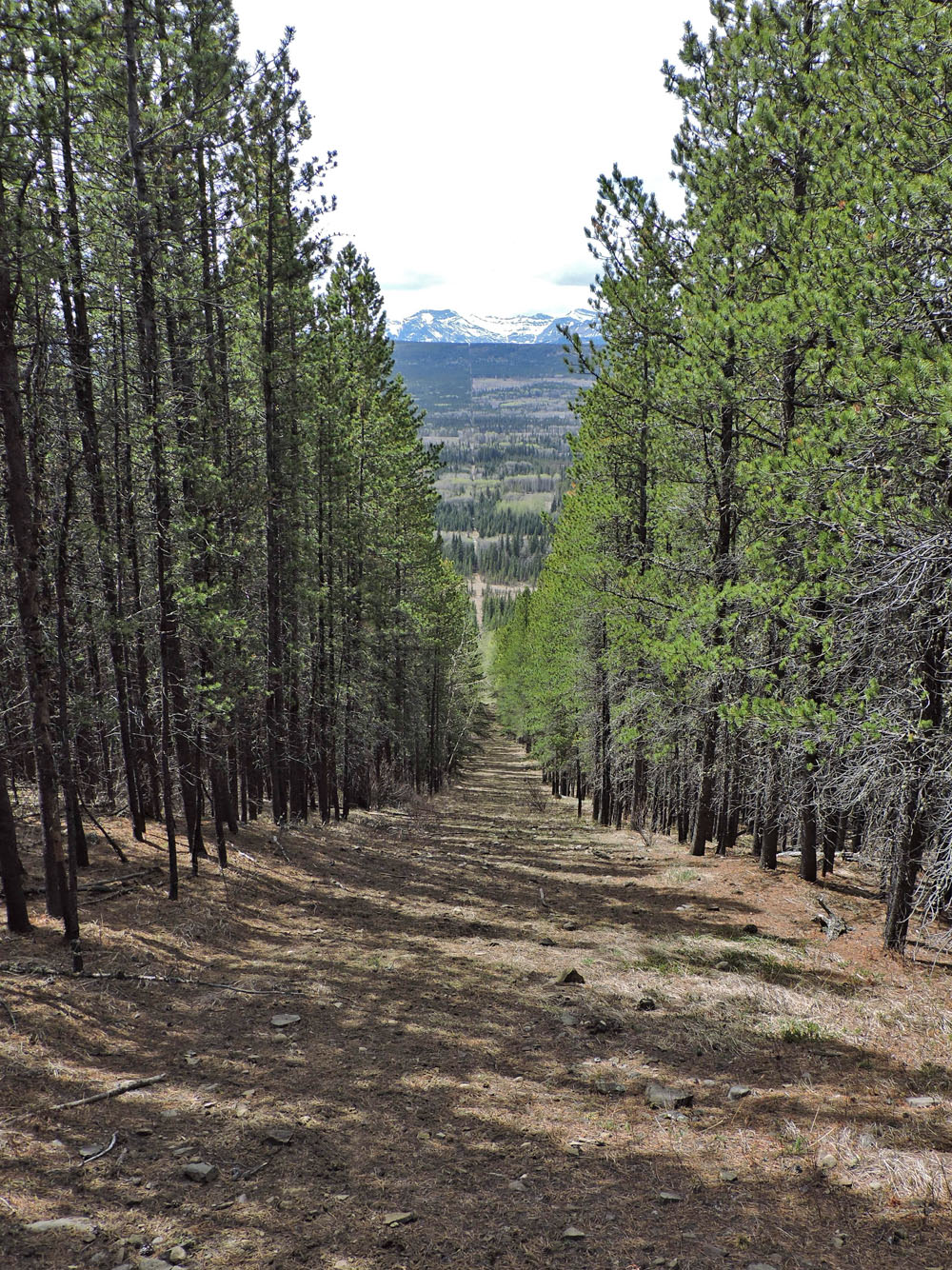
Looking up the cutline
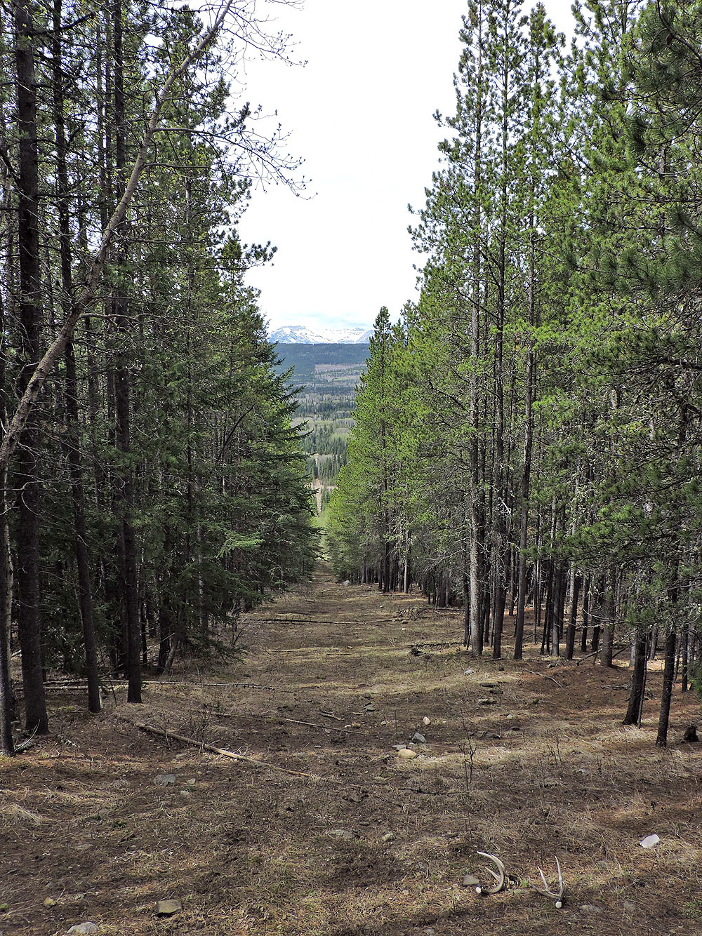
Looking back as I neared the top of the cutline
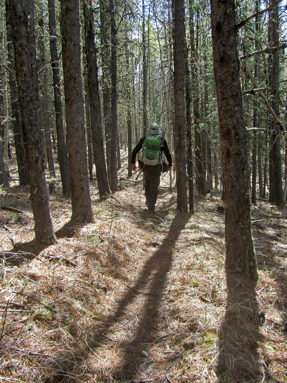
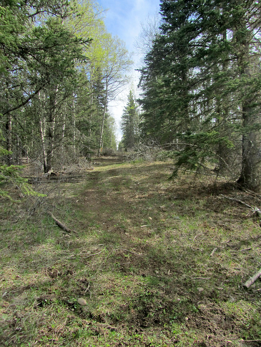
At the top of the cutline, I started down an excellent trail, but it soon began losing elevation
Kangienos Lake
I came out of the forest briefly to see the views northeast from a cutblock
After a bit of searching, I found a decent trail that took me to another cutline
Looking northeast from the cutline: I came from the trail left. I could have bushwhacked directly to the summit, but instead, I walked down the cutline. I soon came to a fork and kept right.
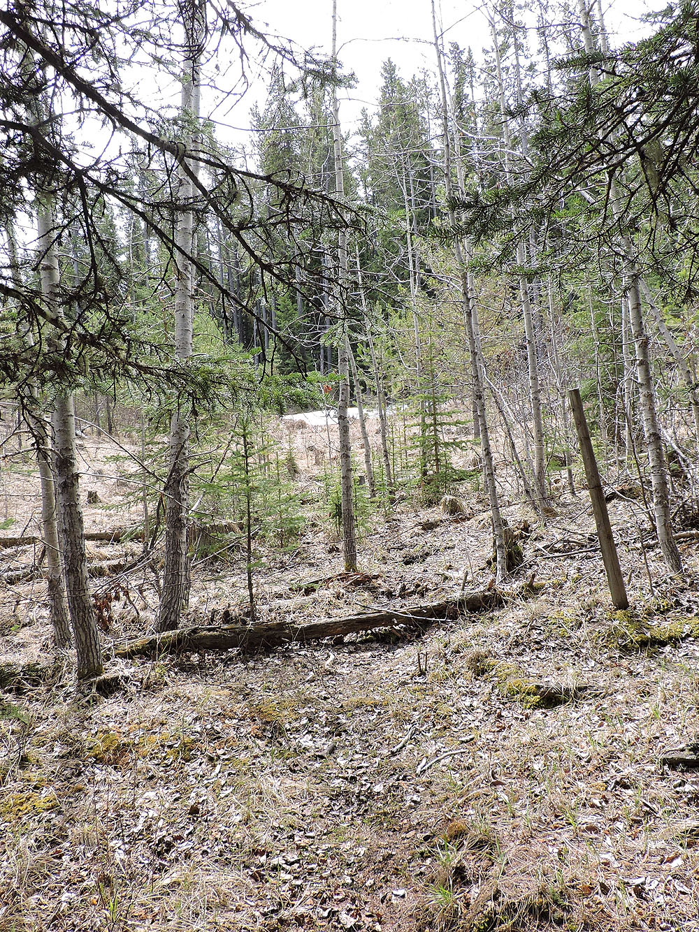
After 150 m, I left the road where it bent left, and got on this trail
(had to hop the barbwire fence)
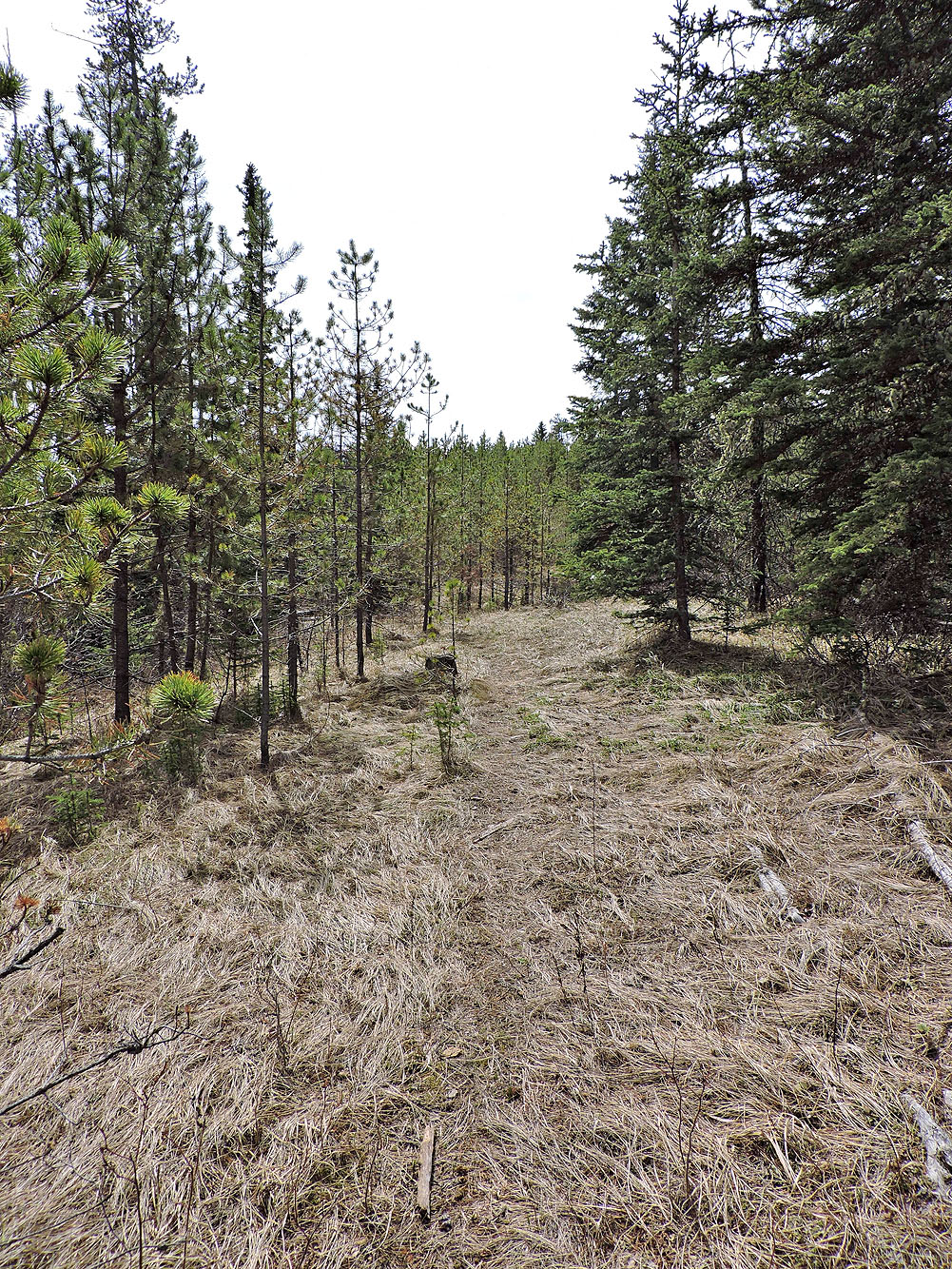
The trail stopped just short of the summit
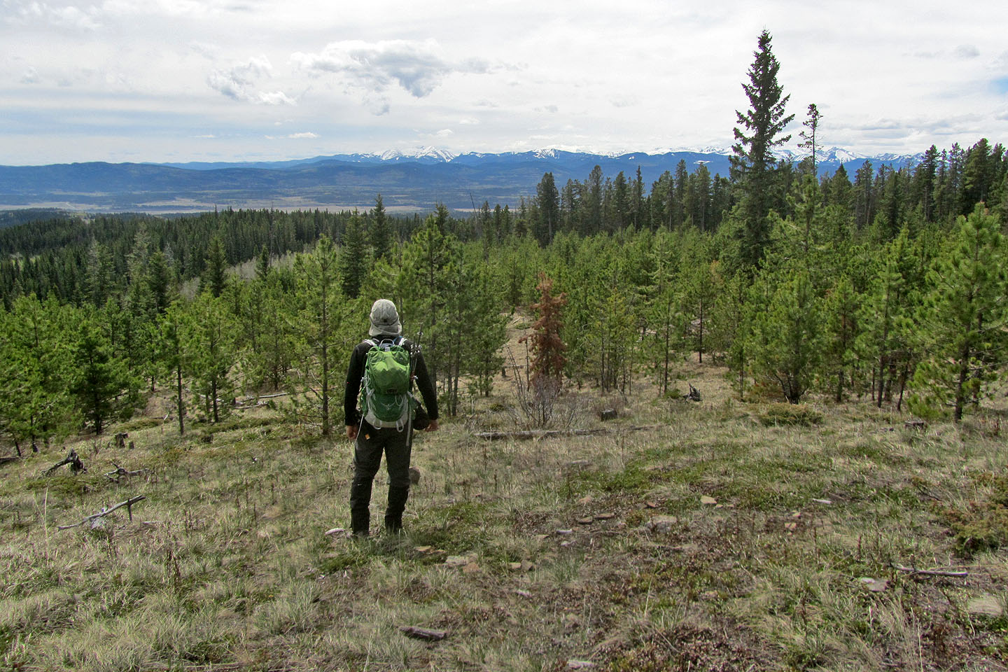
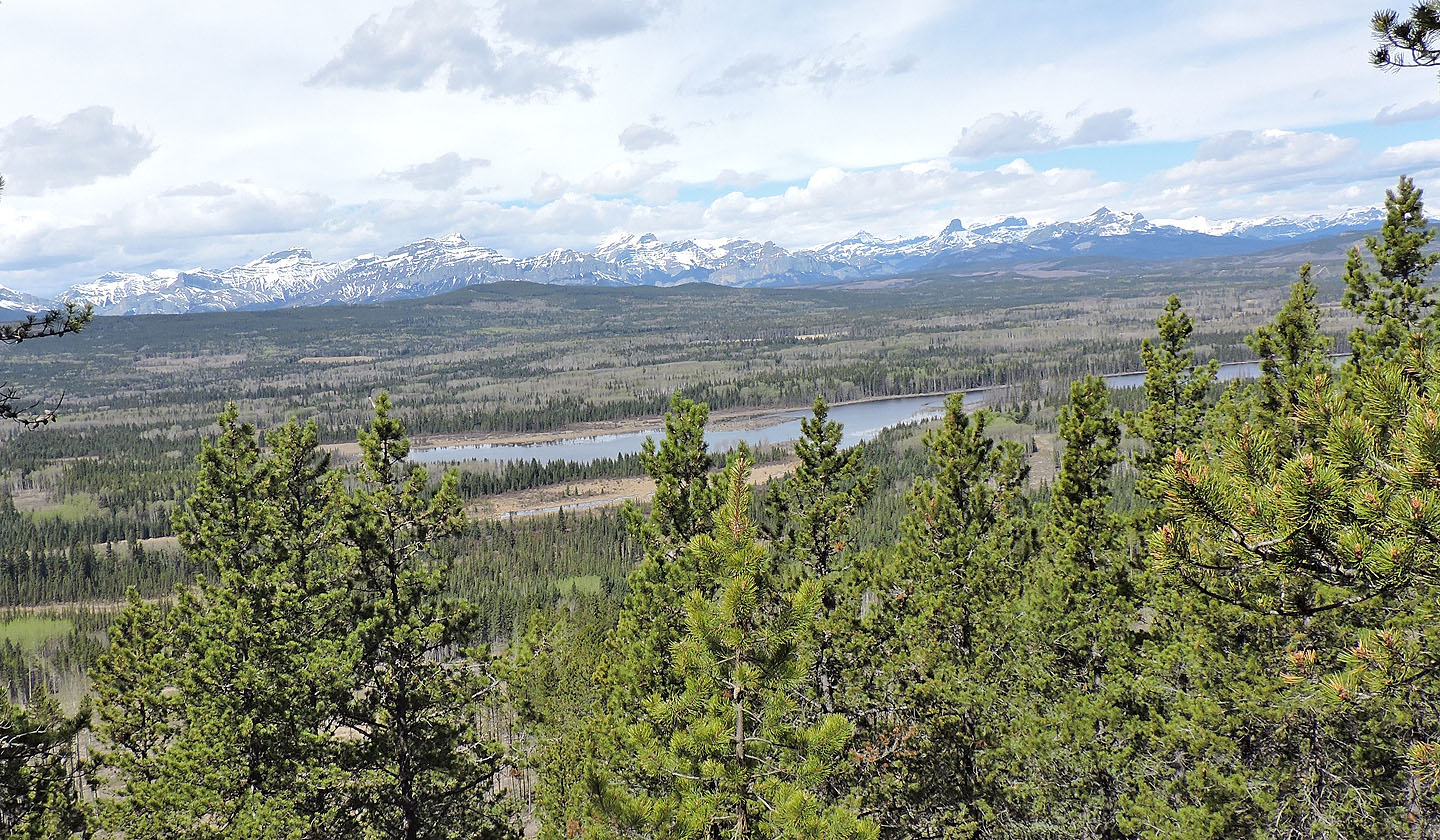
The summit is in trees, but a clearing 80 m away provides views to the southwest
Back at the cutline, I followed it all the way down
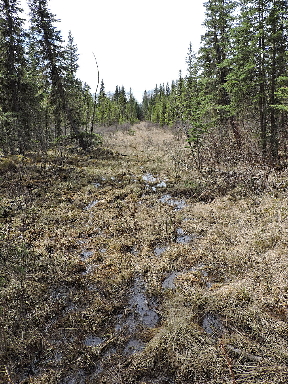
The first marsh wasn't bad
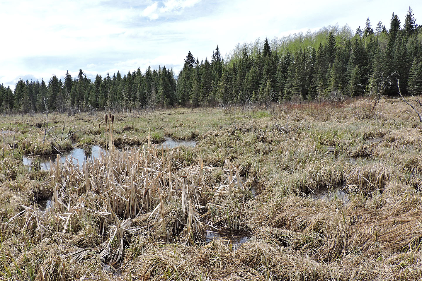
The second marsh was more challenging
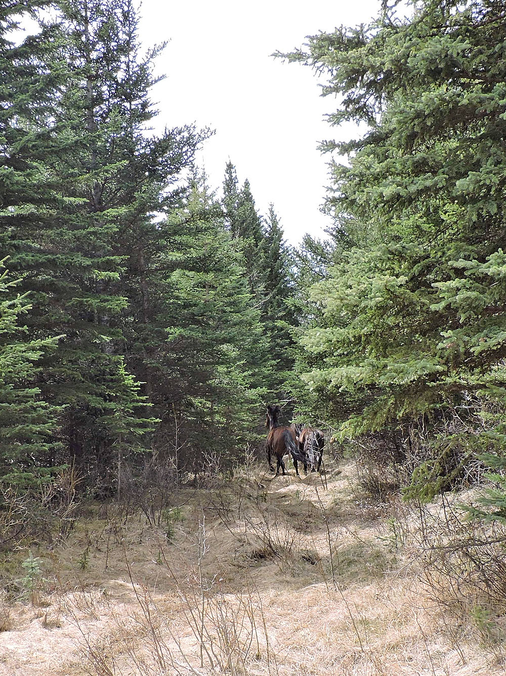
Wild horses turned and galloped up the cutline when they saw me
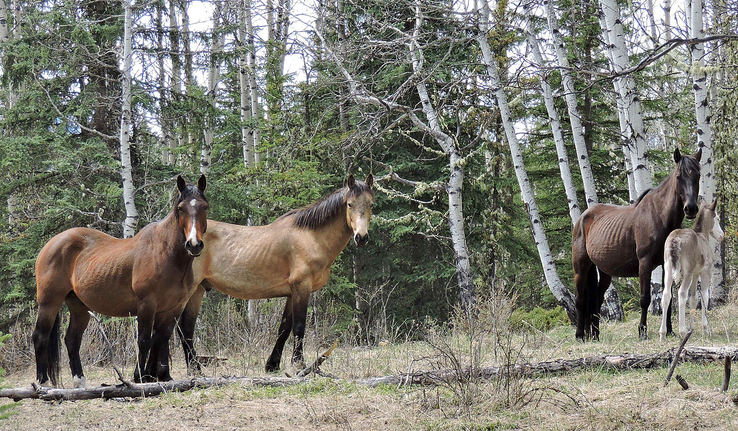
I caught up with them in a clearing
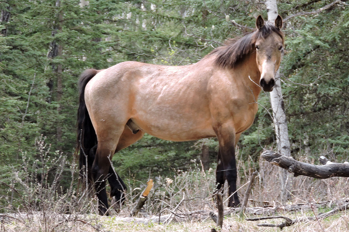
The horses kept an eye on me
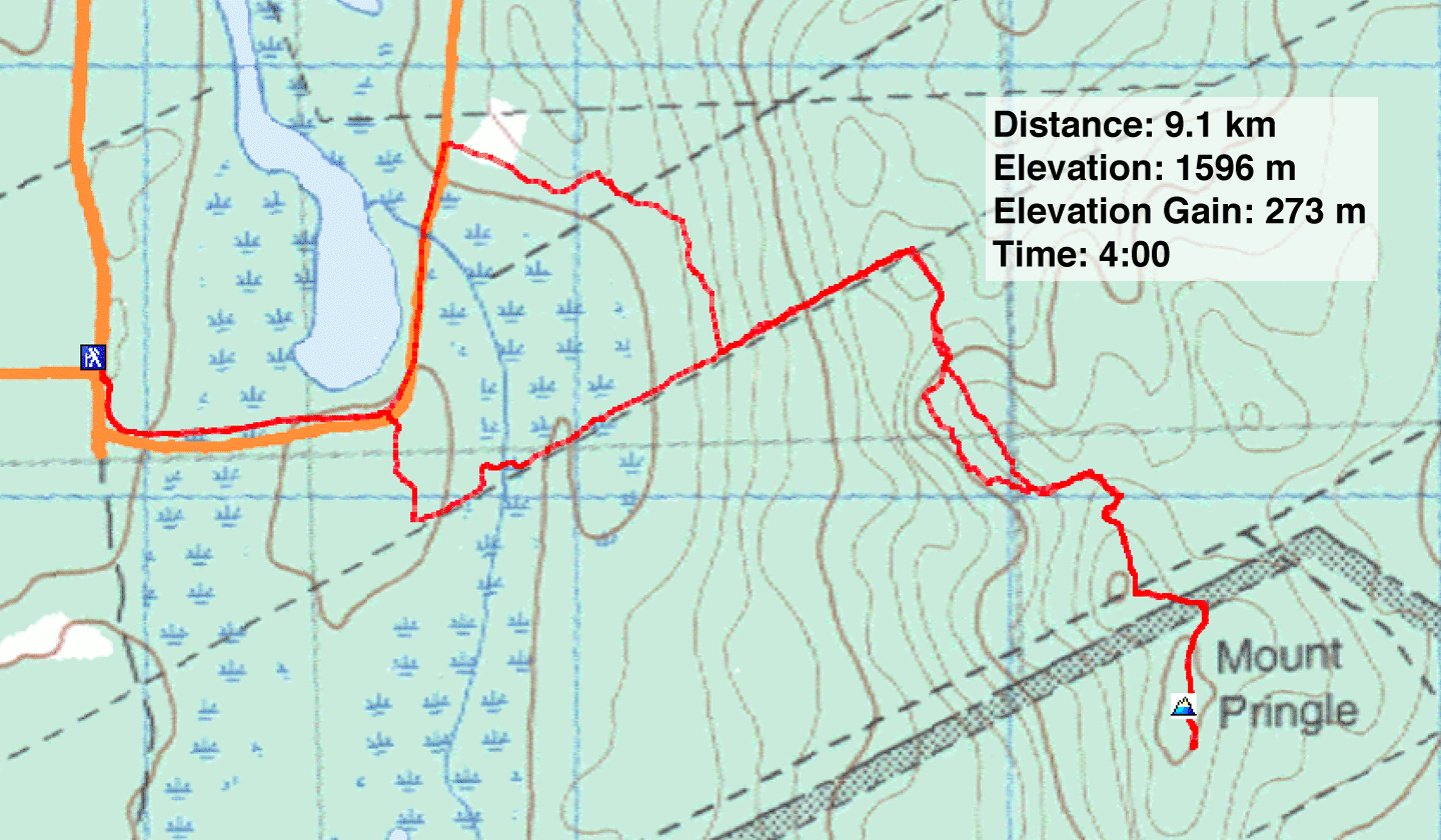
82 O/2 Jumpingpound Creek