bobspirko.ca | Home | Canada Trips | US Trips | Hiking | Snowshoeing | MAP | About
Canyon Creek Ice Cave
Kananaskis, Alberta
July 29, 2020
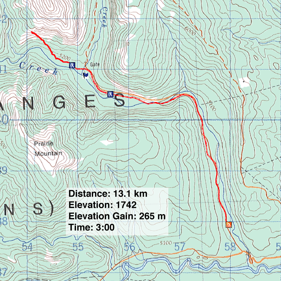
Distance: 13.1 km (8.1 mi)
Cumulative Elevation Gain: 315 m (1033 ft)
With a heat warning in effect for Southern Alberta, I could think of no cooler hike than Canyon Creek Ice Cave (aka Moose Mountain Ice Cave, aka Bragg Creek Ice Cave). On the way to the cave, I wanted to visit the sulphur spring but underestimated the difficulty in locating it. I returned another day, found the spring and included it in this trip report.
The parking lot for the ice cave is a couple of kilometres before Prairie Mountain trailhead. After parking, I pulled out my mountain bike. Darned if I was going to walk 5.4 km up the unshaded, gravel road to the trailhead, but some people do just that.
After cycling 3.3 km, I came to a bridge crossing Canyon Creek. Much to my amusement, I saw several marmots. Some were running around while others were lying on the concrete blocks at the end of the bridge. (When I returned to find the spring, I counted 12 by the bridge.)
Continuing my ride, I crested a hill, and the ice cave soon came into view. At the trailhead, I stashed my bike and hiked 800 m to the cave entrance.
A few people hung out at the entrance where a cool breeze from the cave cut through the hot outside air. I put on a jacket, slapped on a helmet, clutched a powerful flashlight and ventured inside. I climbed over rocks polished by countless people venturing in. I passed small ice formations and avoided pools of water. Further in, the cave narrowed and the entrance receded to a tiny triangle of light. Deeper still, I came across a pair of towering ice pillars. I continued in, the tunnel now smaller and pitch black, to a wall of ice that effectively blocked further exploration. The temperature in the cave was 9C.
I made my way back to the entrance where I found a Goldilocks spot between the hot air outside and cold cave air, and had lunch. Afterwards, my return went smoothly, back down the trail, past the marmots on the bridge, to the parking lot.
Two days later, I returned to find the sulphur spring. I knew where to look now (see flag on the map). I cycled to the top of the hill just before the cave trailhead. After taking a few steps down the slope, I saw the spring far below, but the slope was too steep to descend; I needed another approach.
I cycled back down the road and noticed a trail in a small clearing. I ditched my bike and hiked 250 m to the stony bank of Canyon Creek. The trail can't be seen from the creek, so I noted a large, nearby tree to find my way back. I then followed the creek, sometimes crossing it, for 500 m. Before I saw the spring, I smelled it: the odour of rotten eggs. Then I found where the spring feeds into the creek.
I followed the spring and passed pool after pool, each an odd milky-blue colour. The pools were amazing and finding them was a small adventure. I think the 2 km round-trip to the pools is a worthy side trip when visiting the Canyon Creek Ice Cave.
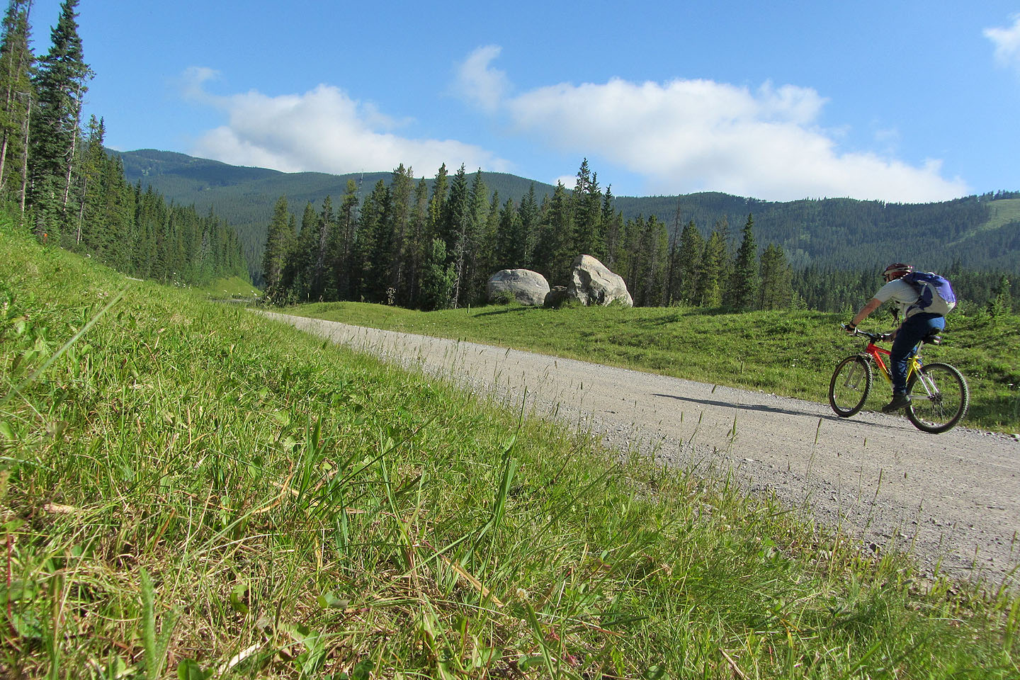
Cycling up Canyon Creek road
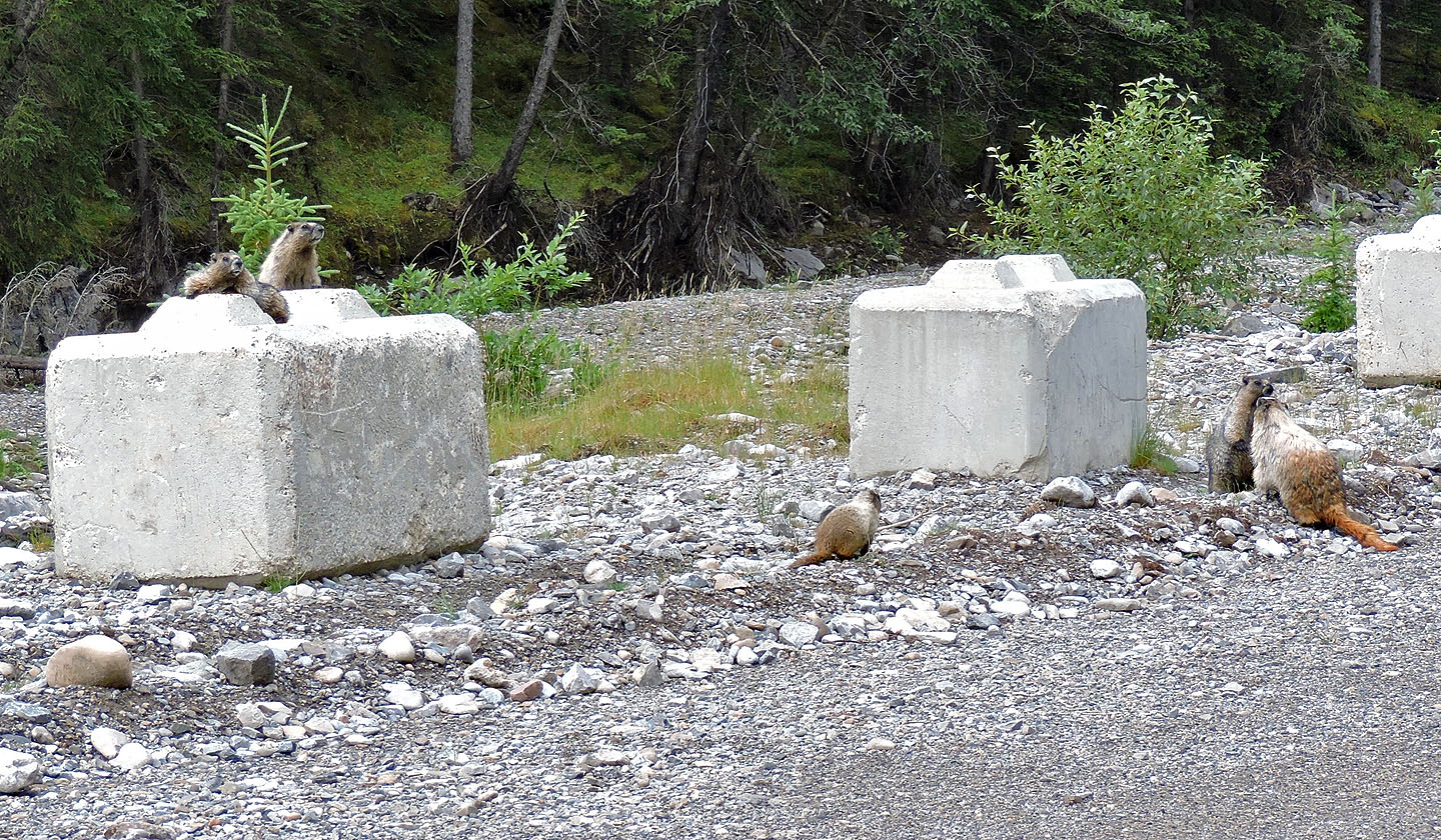
Several marmots hung out at the bridge
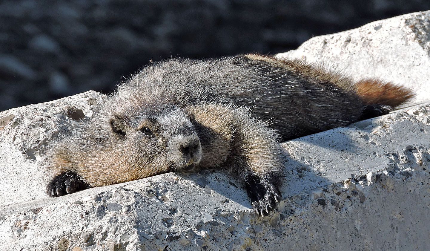
This one was particularly relaxed
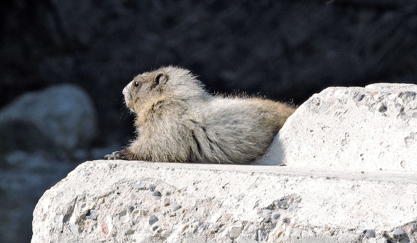
One of the young ones
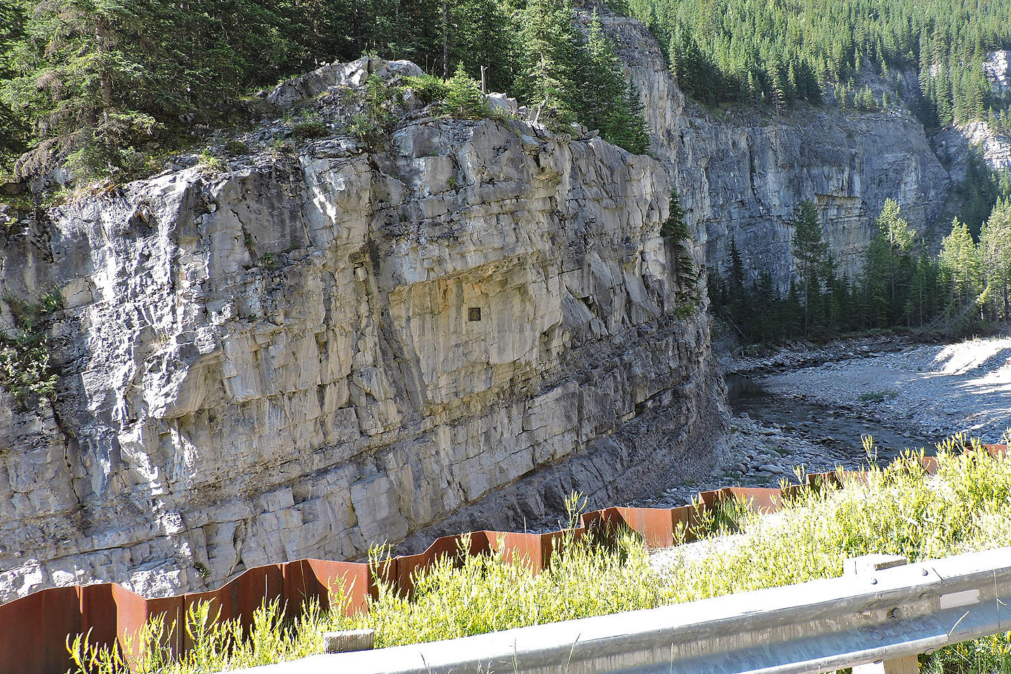
300 m after the bridge, a small plaque (mouse over to read) on a rock wall honours Larry Ostrander who died near here while climbing
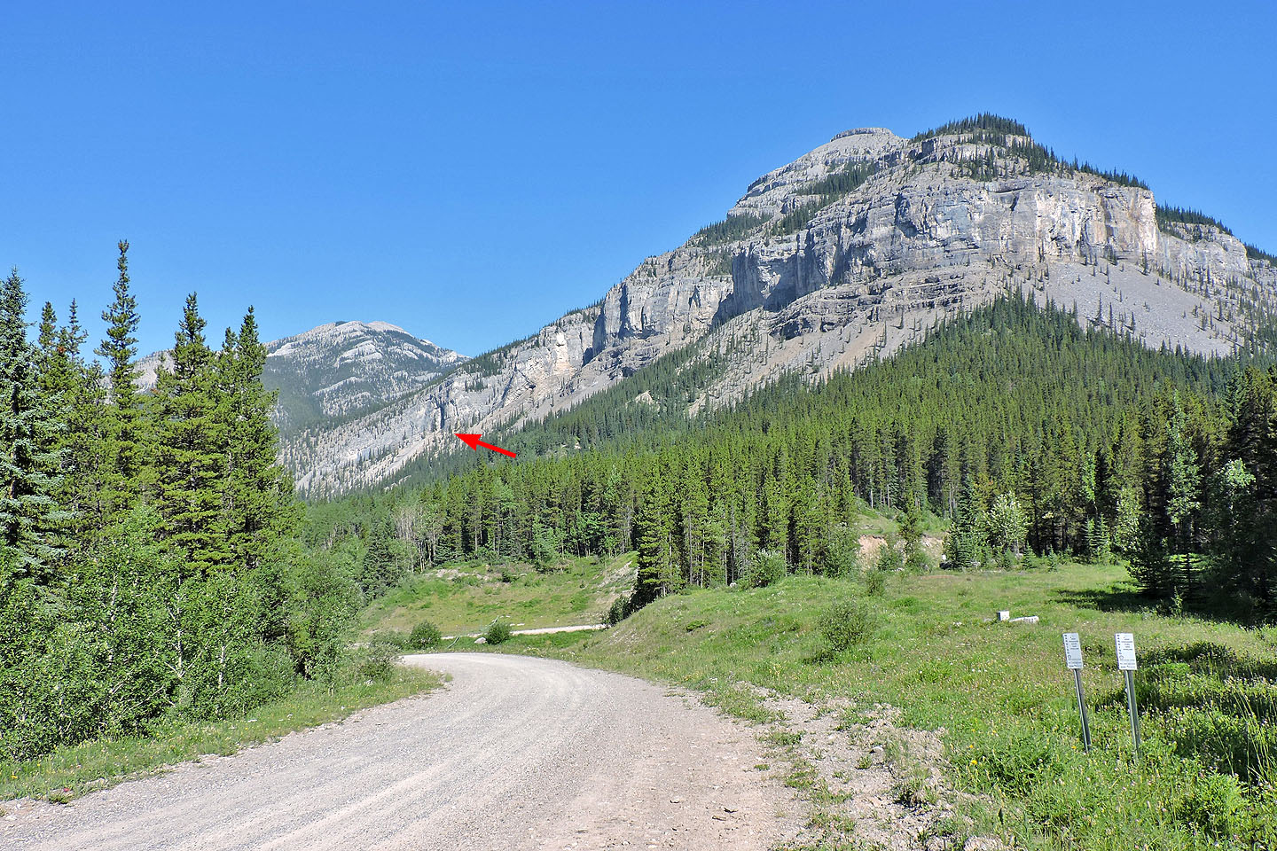
View of the cave from the road
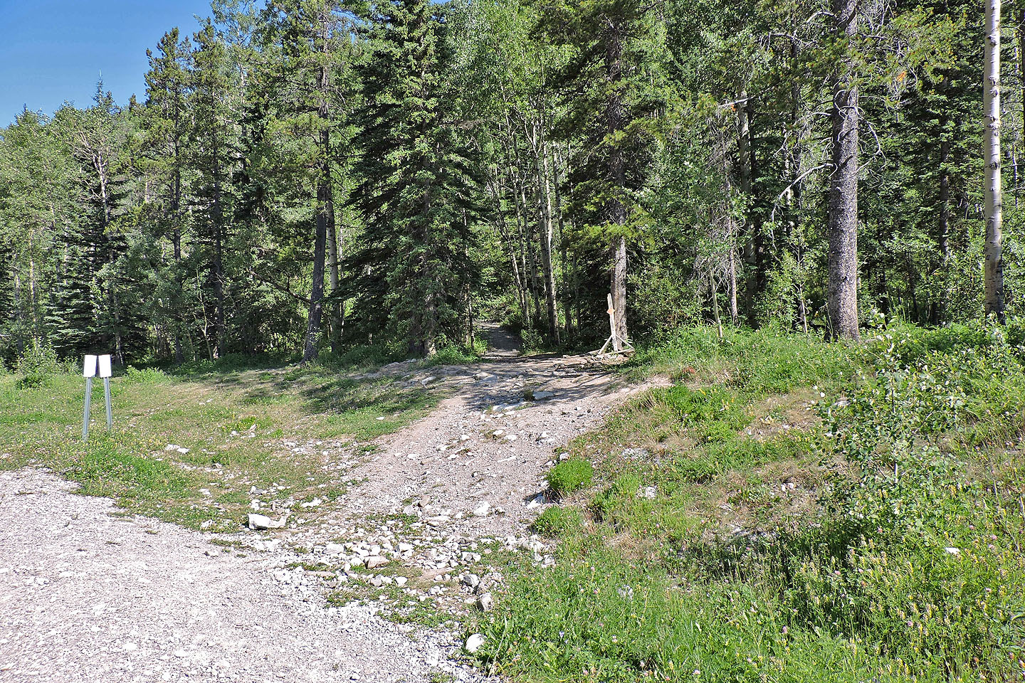 The trailhead
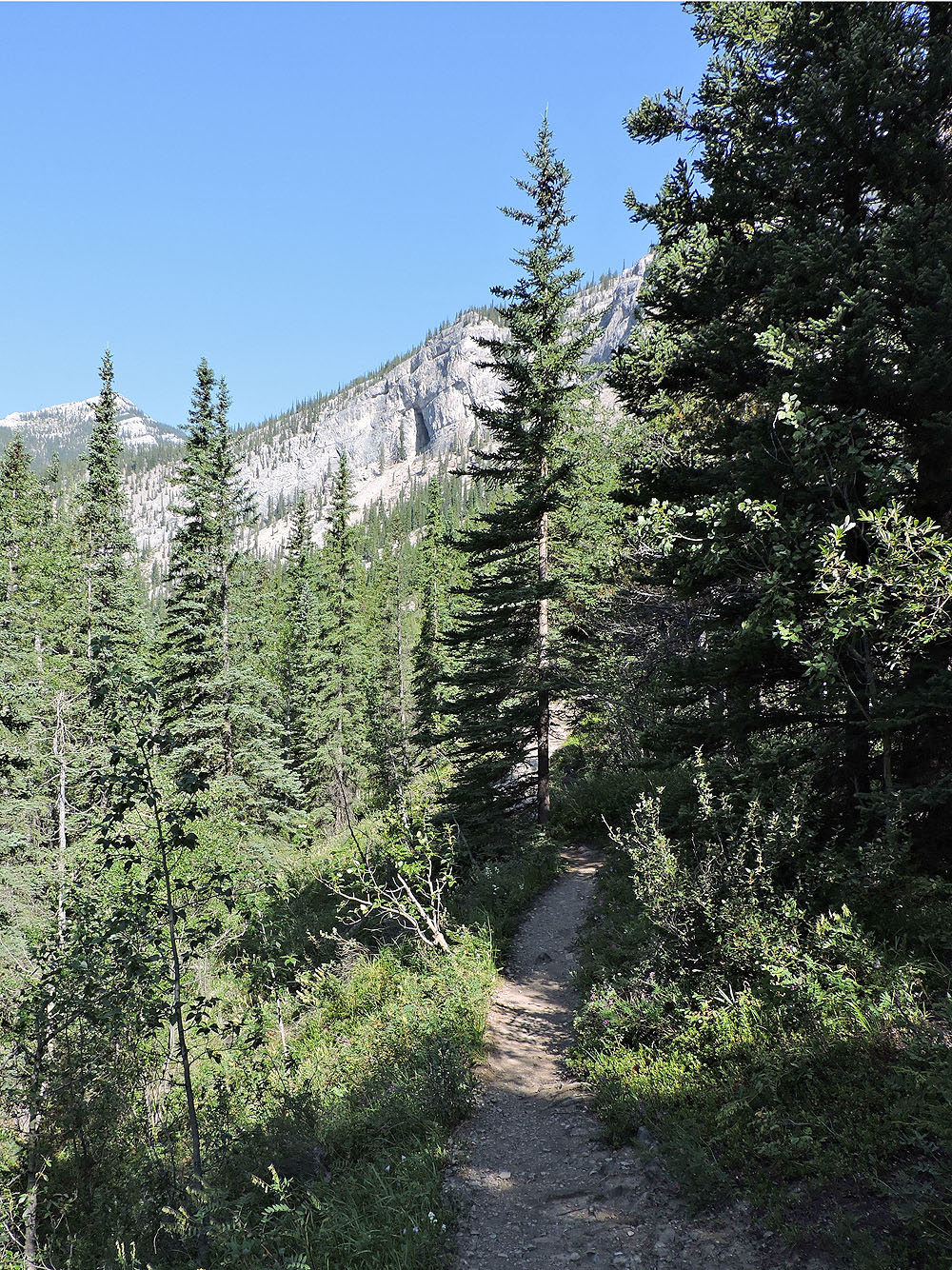
The cave seen from the path
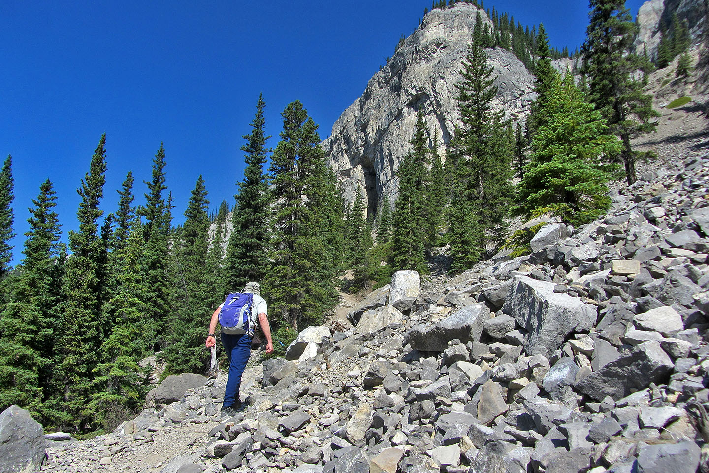
The trail runs through rocks
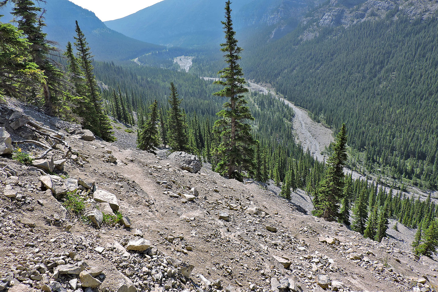
Looking back from the cave entrance
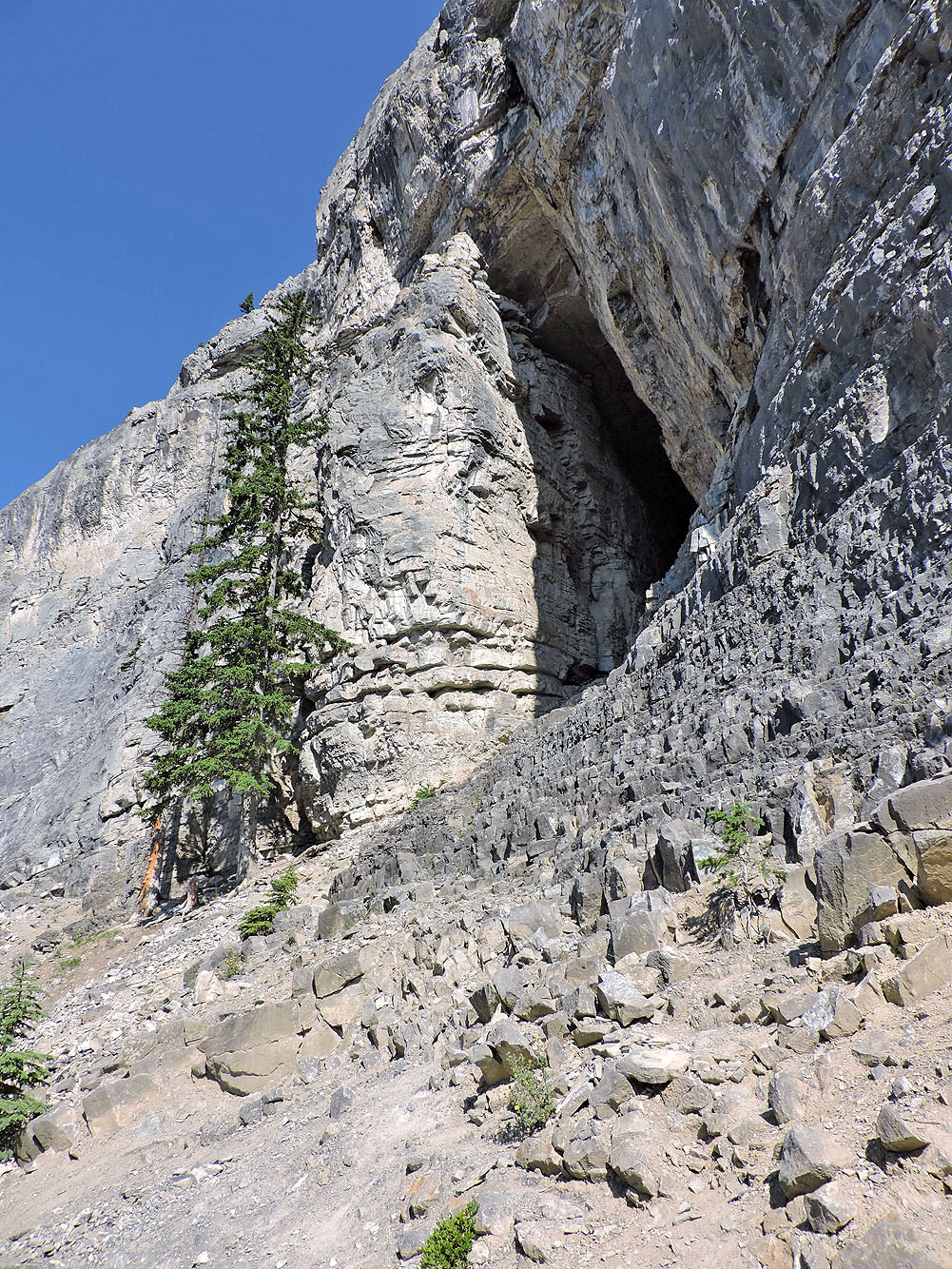
Cave entrance
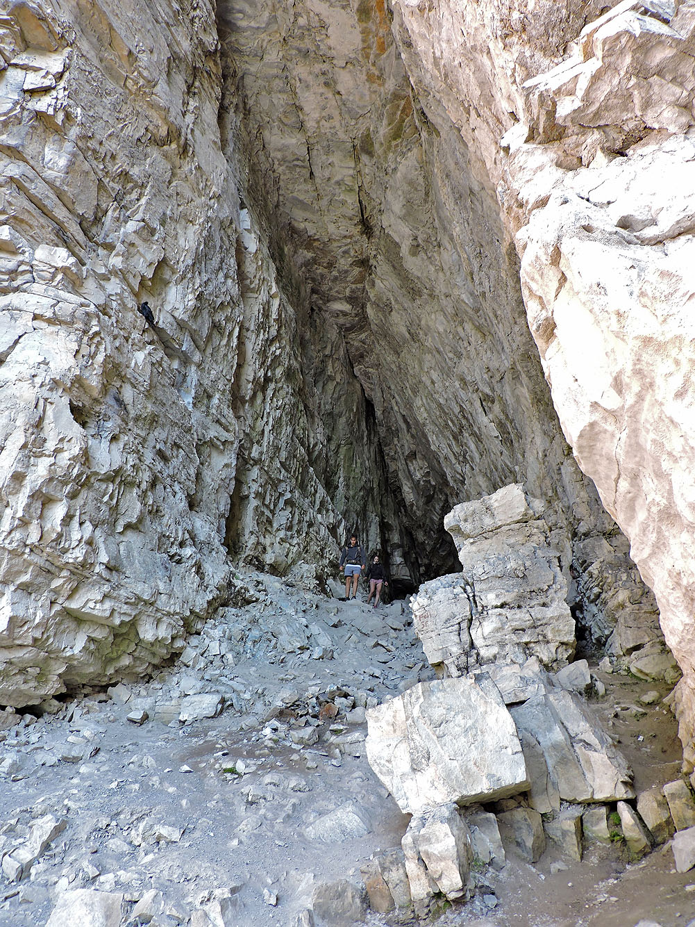
The cave begins with a vaulted ceiling
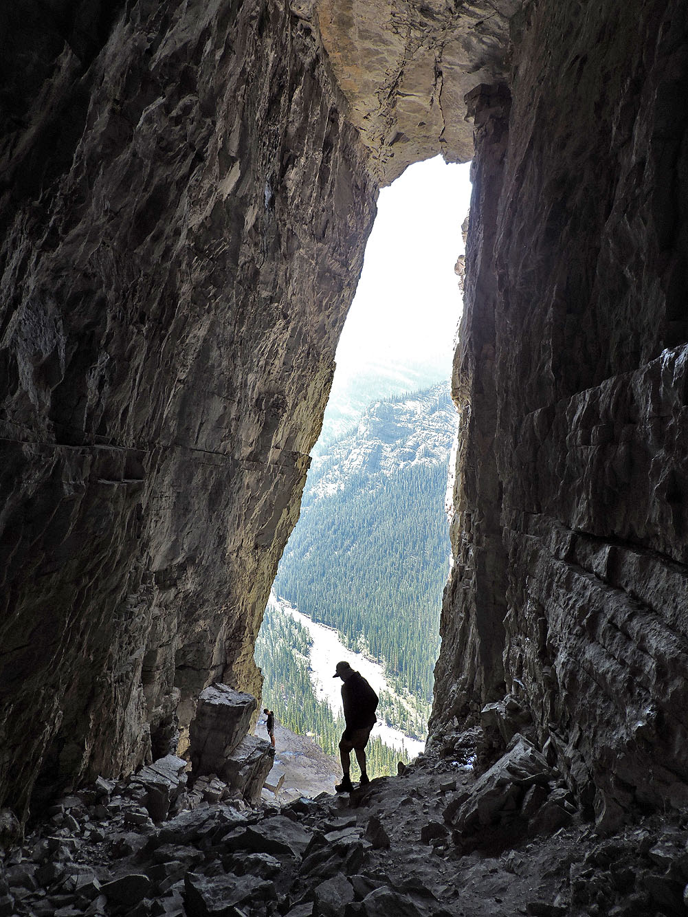
Looking back after entering
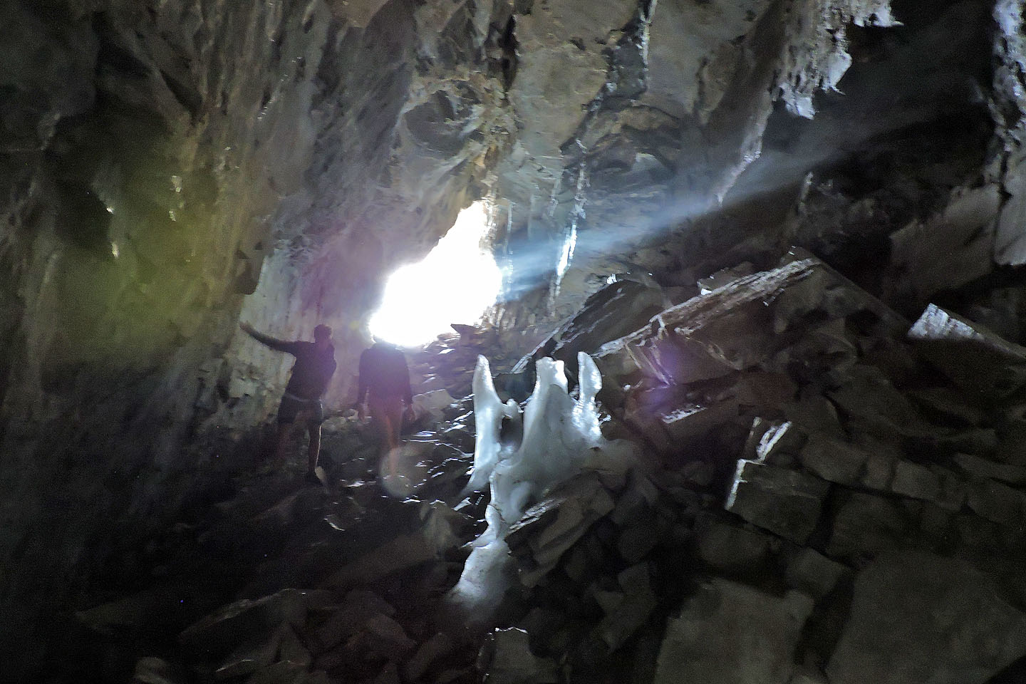
First ice is near the entrance
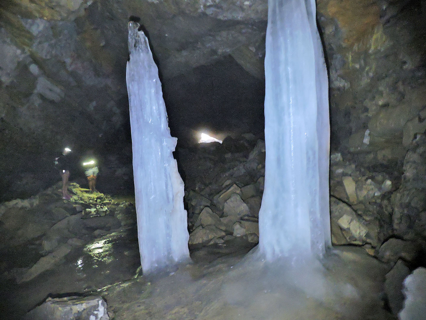
A pair of ice pillars about 8 ft high
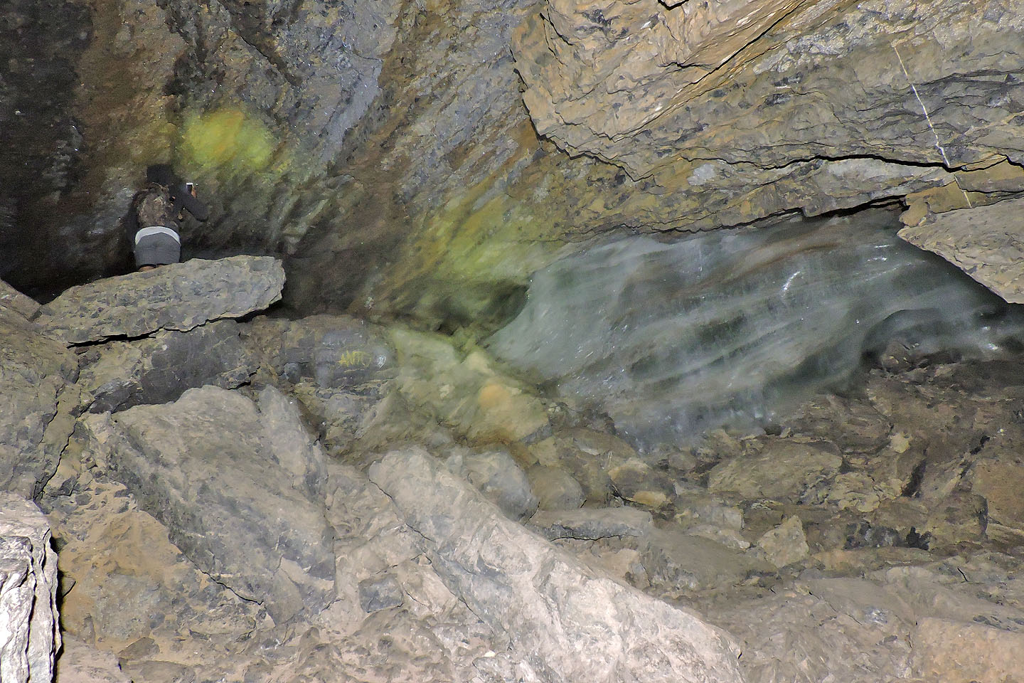
A wall of ice blocks access deeper into the cave
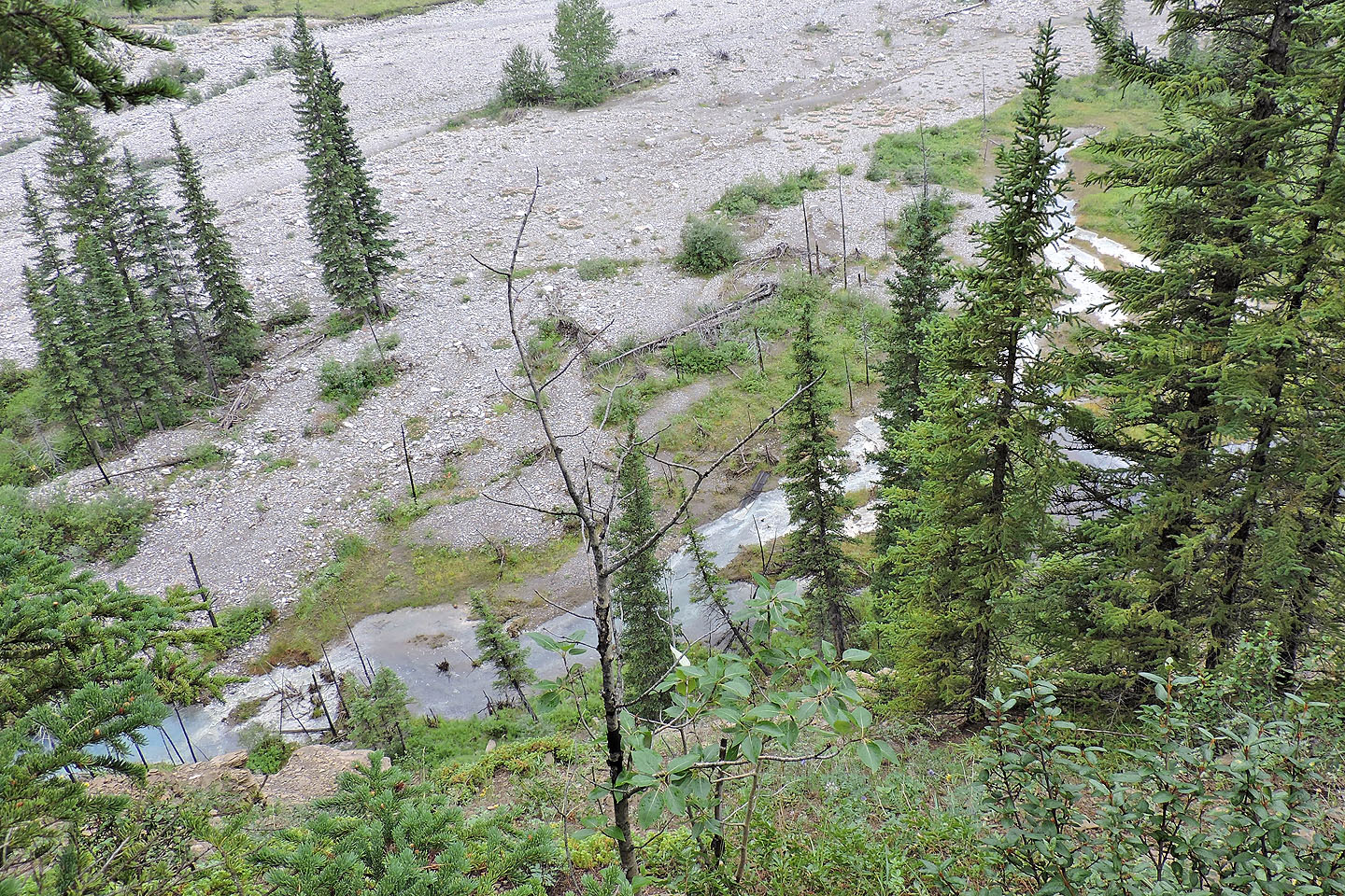
Sulphur spring seen from the hilltop
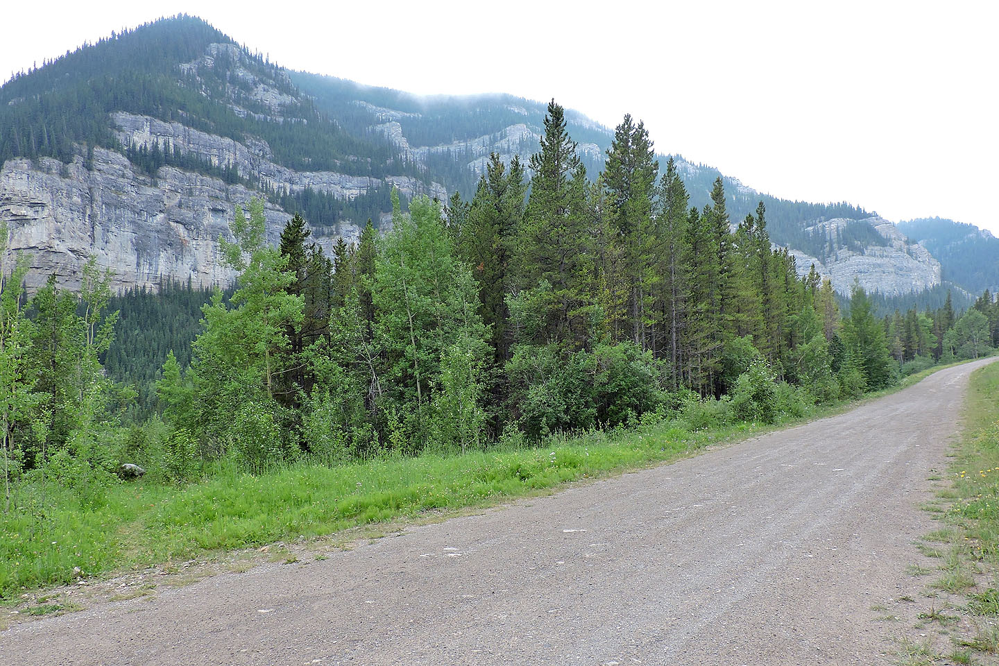
The trail begins in a roadside clearing at the bottom of the hill. Several metres in, there's a boulder.
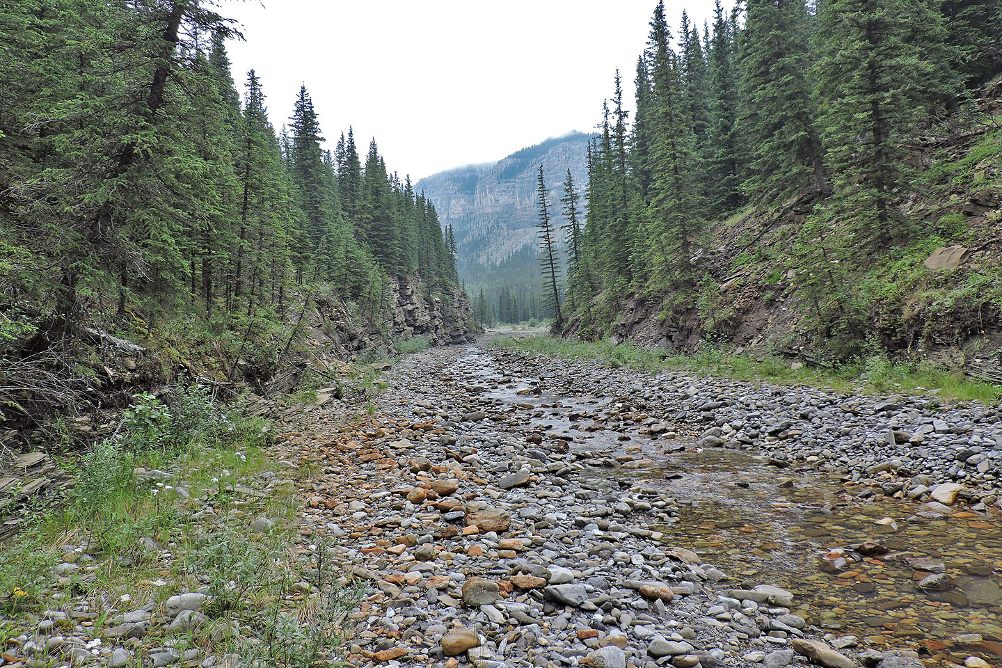
After going around a bend, the creek runs through a small canyon
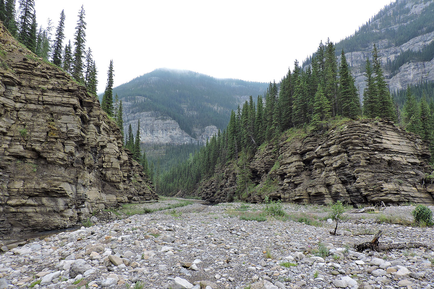
Looking back at the canyon
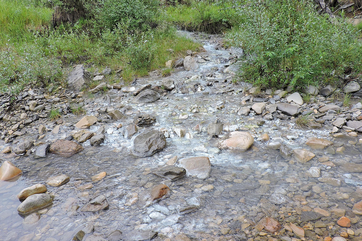
The sulphur spring feeds into the creek
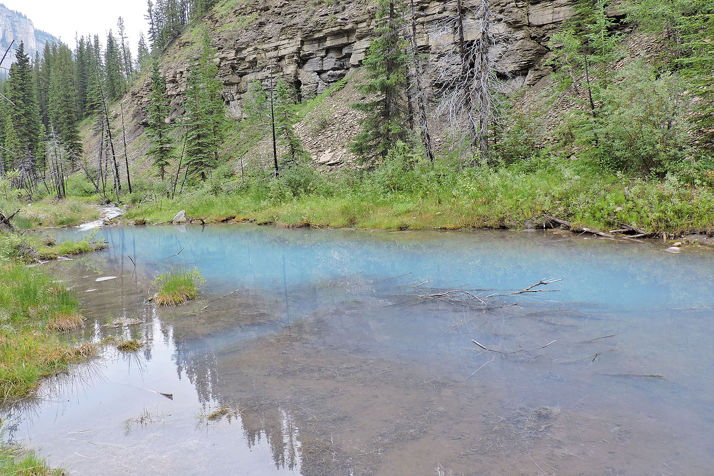
The first pool was the largest
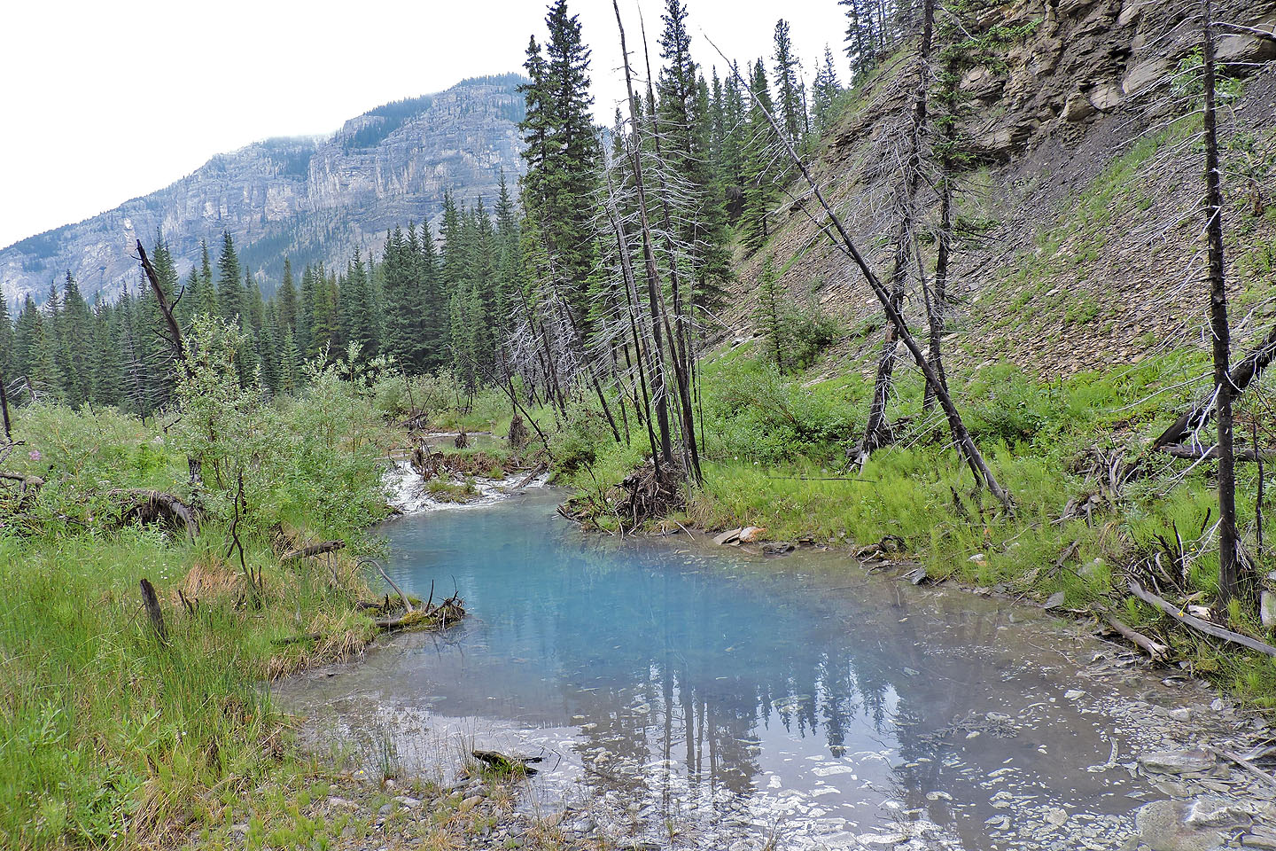
I continued upstream to find more pools
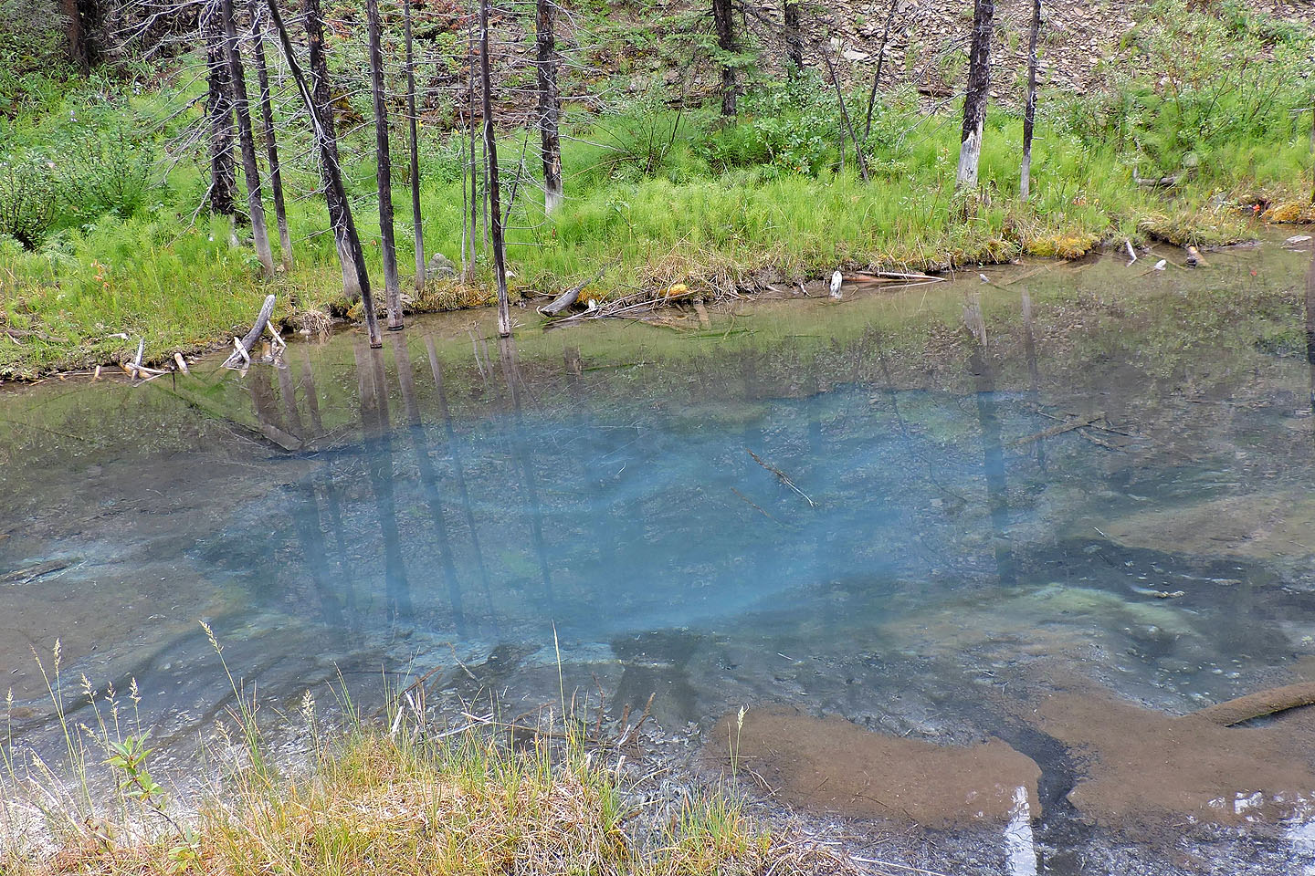
This was the last pool I saw before I turned around
82 J/15 Bragg Creek
