bobspirko.ca | Home | Canada Trips | US Trips | Hiking | Snowshoeing | MAP | About
Hunchback Hills
Kananaskis, Alberta
November 26, 2016
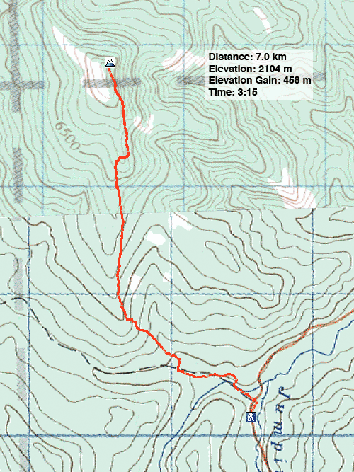
Distance: 7.0 km (4.3 mi)
Cumulative Elevation Gain: 471 m (1545 ft)
Before Powderface Trail shut down for the season, I did a quick trip to the summit of Hunchback Hills. Driving to the trailhead, I couldn’t help but notice the many vehicles on the gravel road, kicking up dust (not to mention stones, one of which left a rock chip in my windshield). But it seems most people had come to chop down a Christmas tree and not to hike. I set off up a quiet trail.
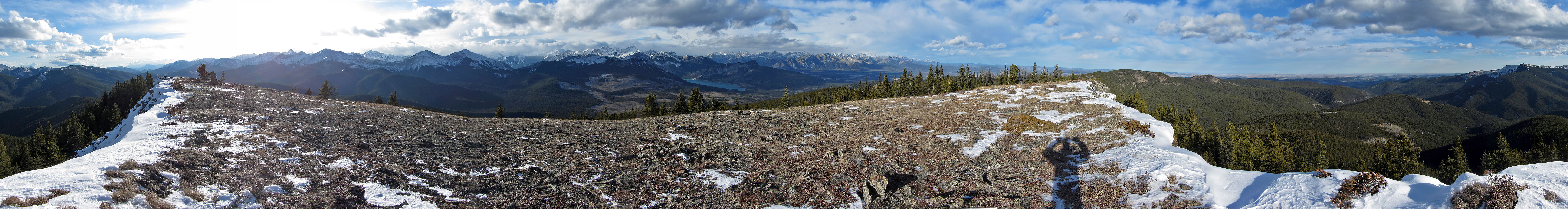
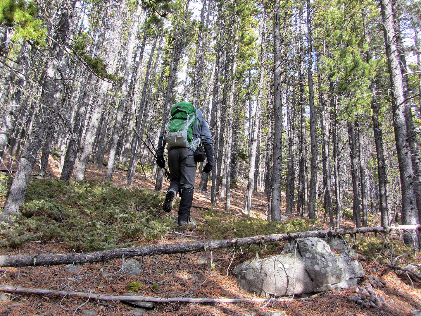
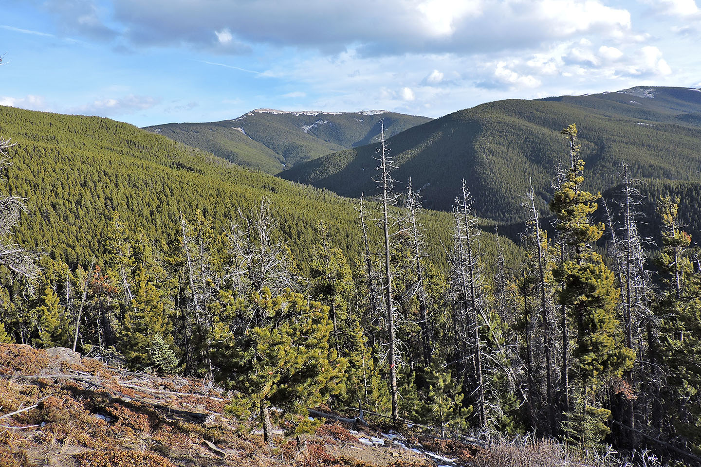
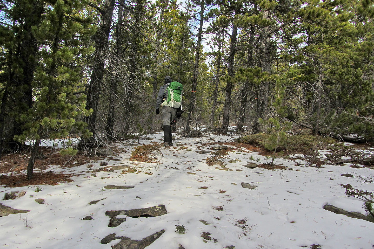
The hike starts on Lusk Pass trail, but less than a kilometre along it, I came across a fancy cairn and some orange flagging, marking the route up the south ridge of Hunchback Hills. I say “route” as there was little trail but lots of flagging. It begins on a wooded slope before settling on a defined ridge. A few breaks allow limited views southward, otherwise the route stays stuck in trees until it reaches the grassy summit. Here, though, I was rewarded with a 360° view, an excellent spot to look around. I had planned to go on to the next high point along the ridge, but strong winds blew aside that idea. And losing 100 m of elevation didn’t inspire me. So I turned around.
A longer trip, the Hunchback Hills Horseshoe, is possible but it entails a lot of bushwhacking and is best done with a second vehicle or a bike to get back to the trailhead. Even so, I was intrigued with doing the entire ridge. I have a hunch I’ll be back.
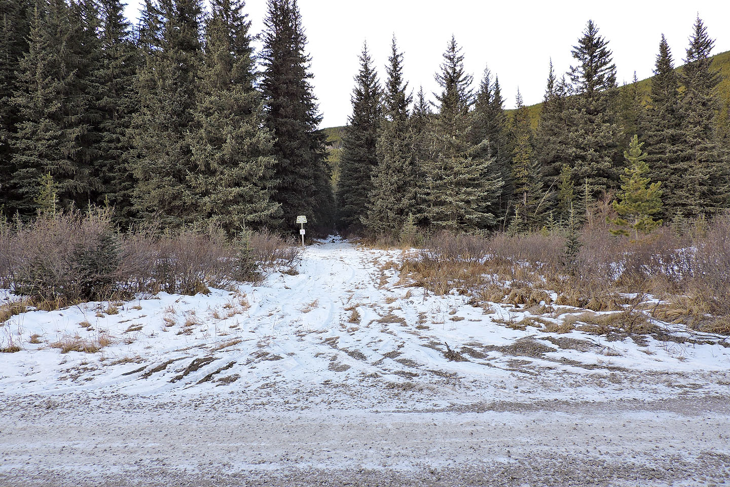
The trailhead is a 100 m down the road from the parking lot
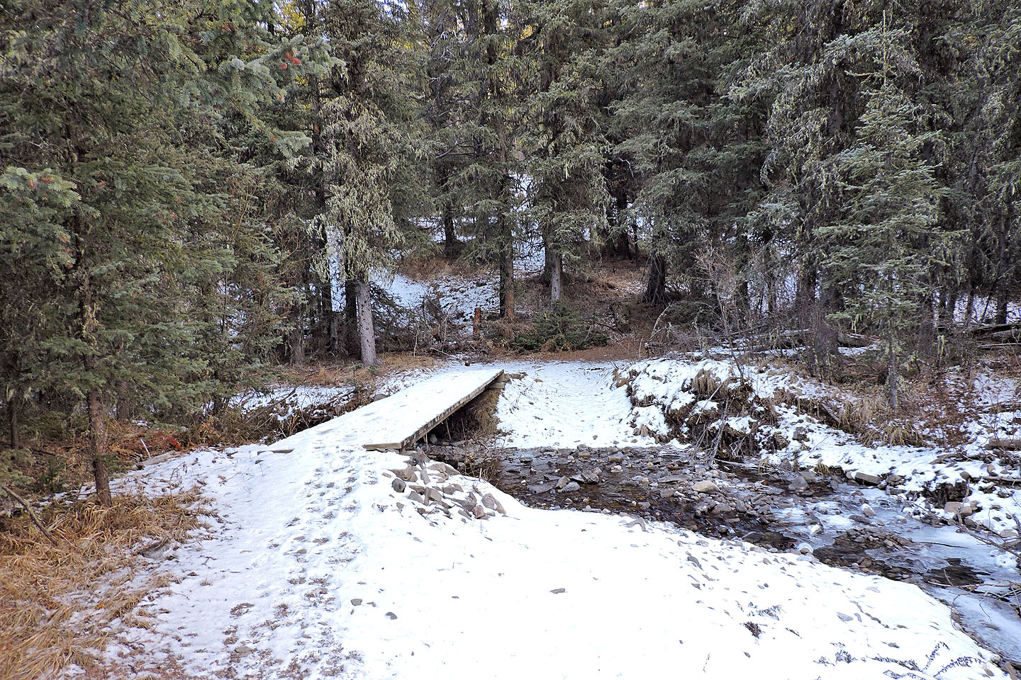
Footbridge near the start
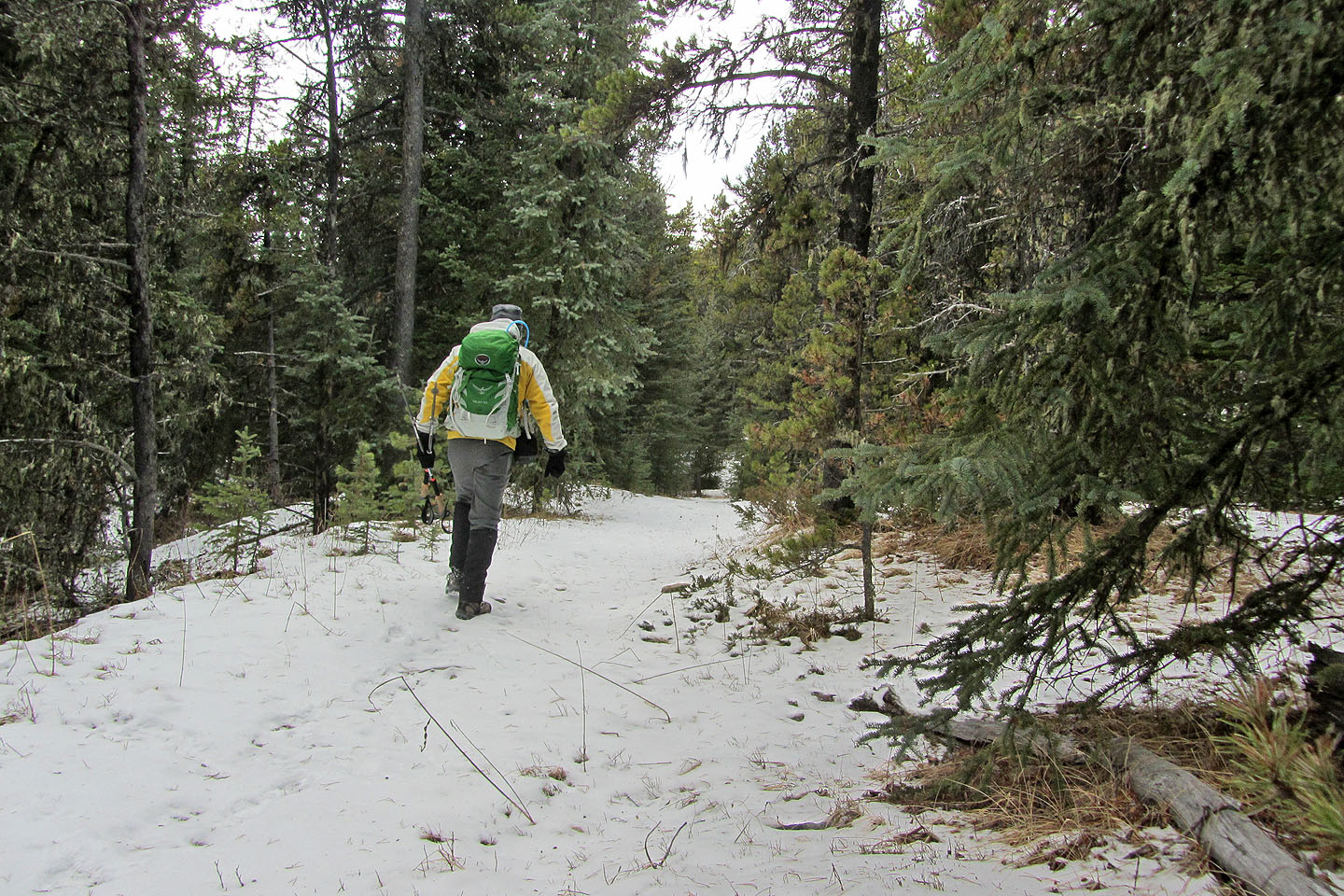
Hiking up Lusk Pass trail
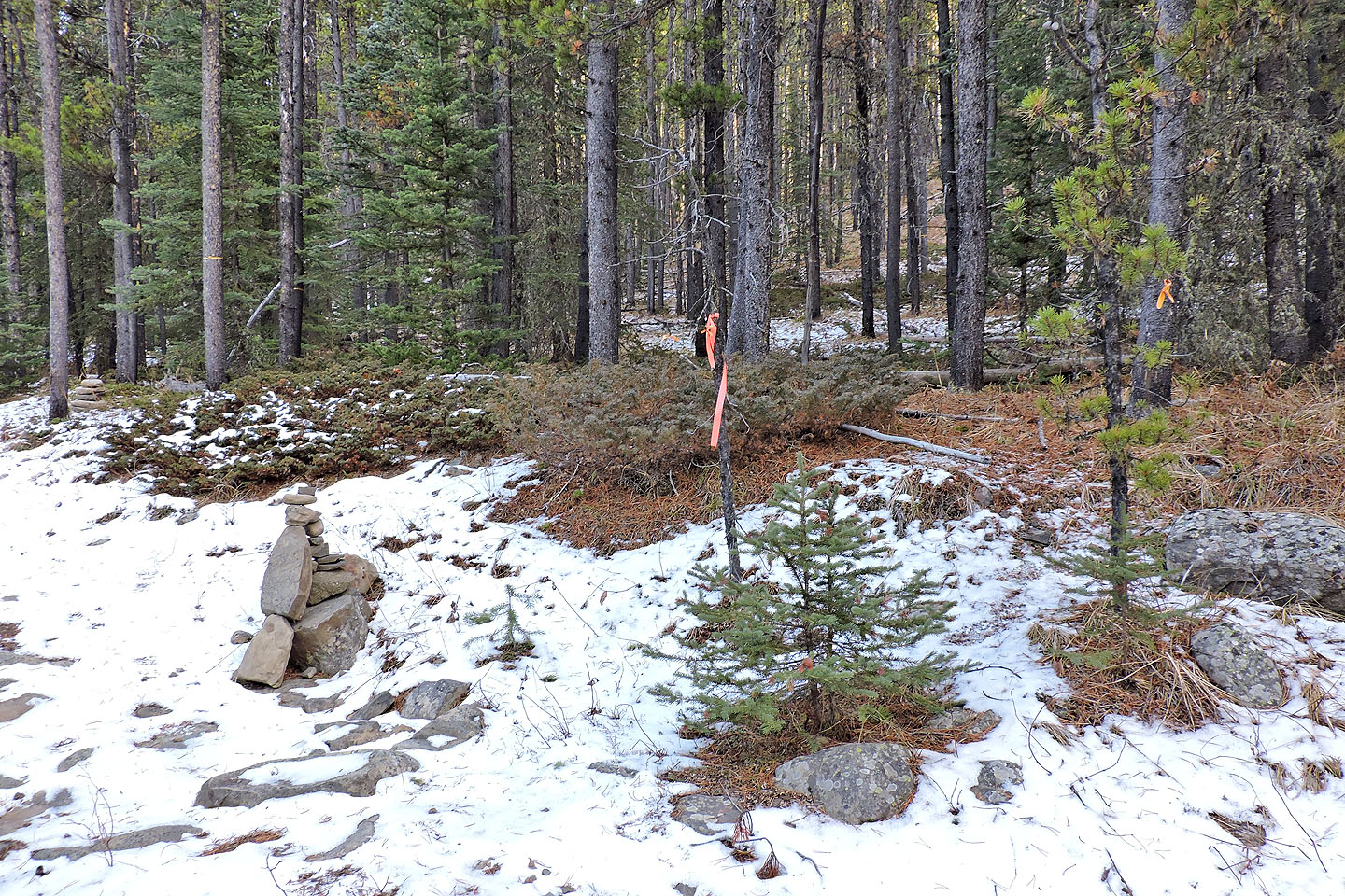
A cairn and flagging mark the way to the summit of Hunchback Hills
There was no trail so I looked for flagging
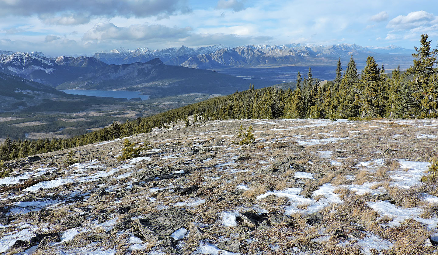
Cox Hill and Jumpingpound Ridge
Following flagging on the ridge
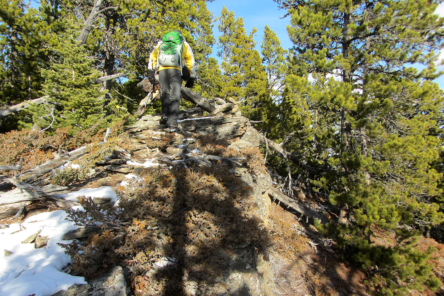
The route often follows small cliffs
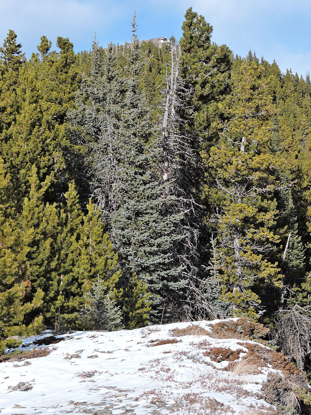
From a clearing I could make out the bare summit ridge
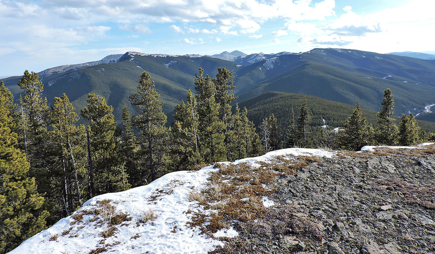
Behind me are Cox Hill, Moose Mountain and Jumpingpound Ridge
The summit cairn is in the distance, beside a tree
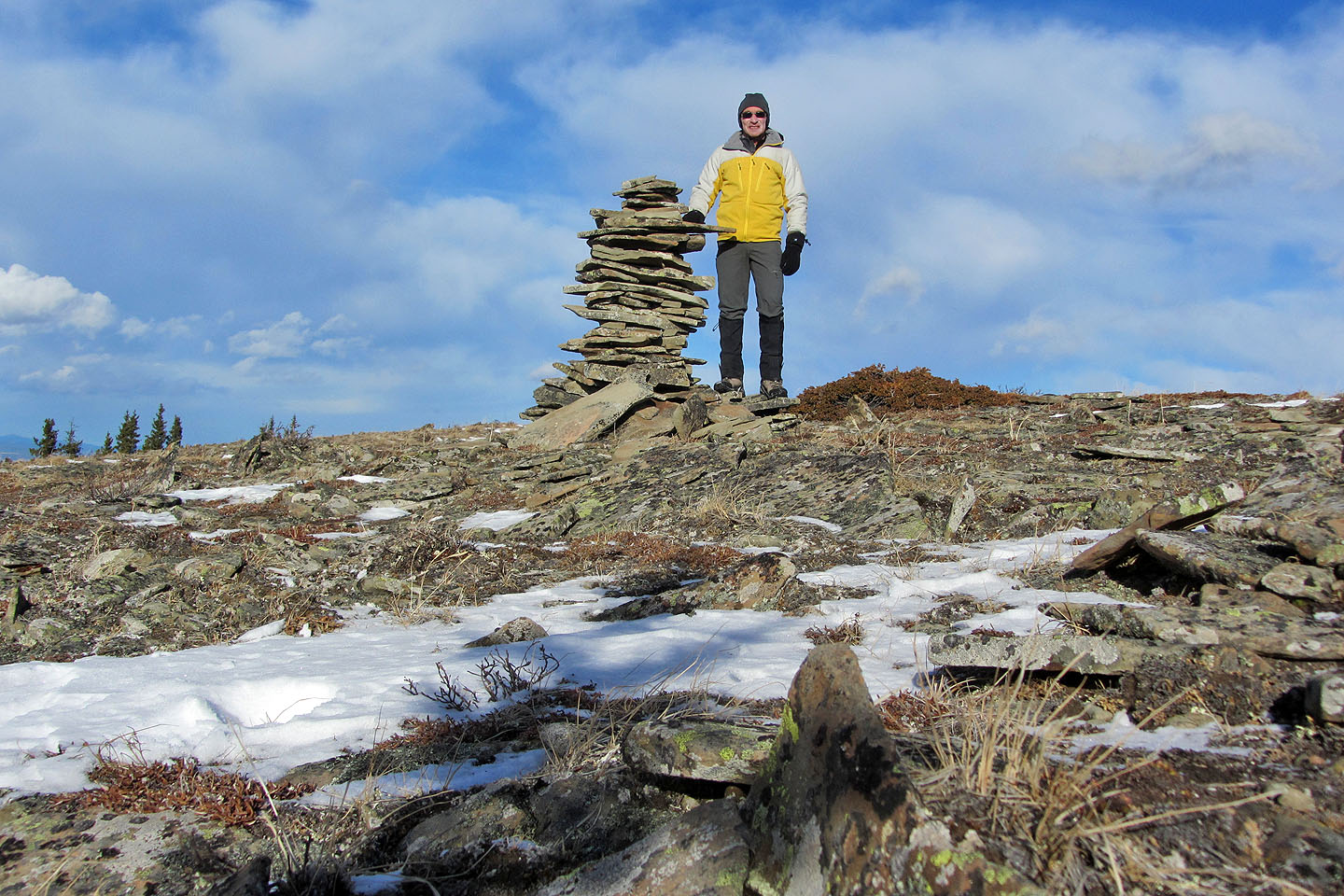
Standing by the summit cairn
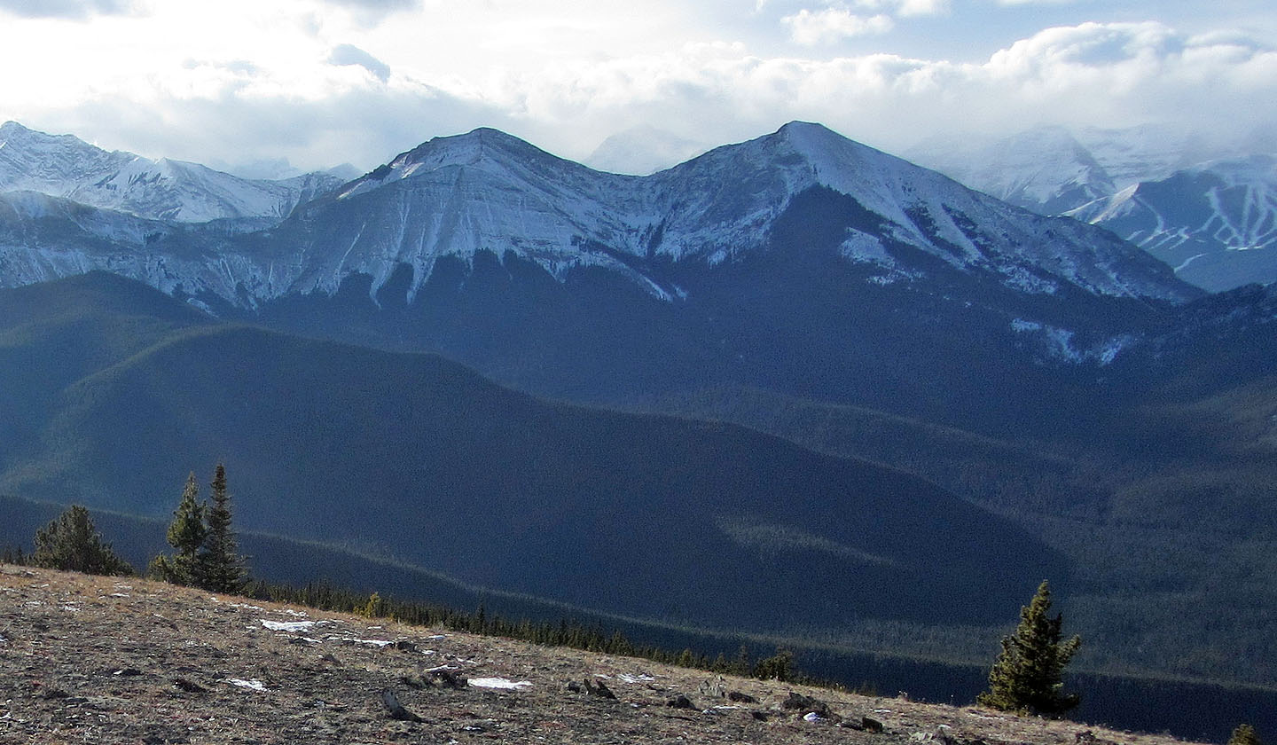
Midnight Peak (right)
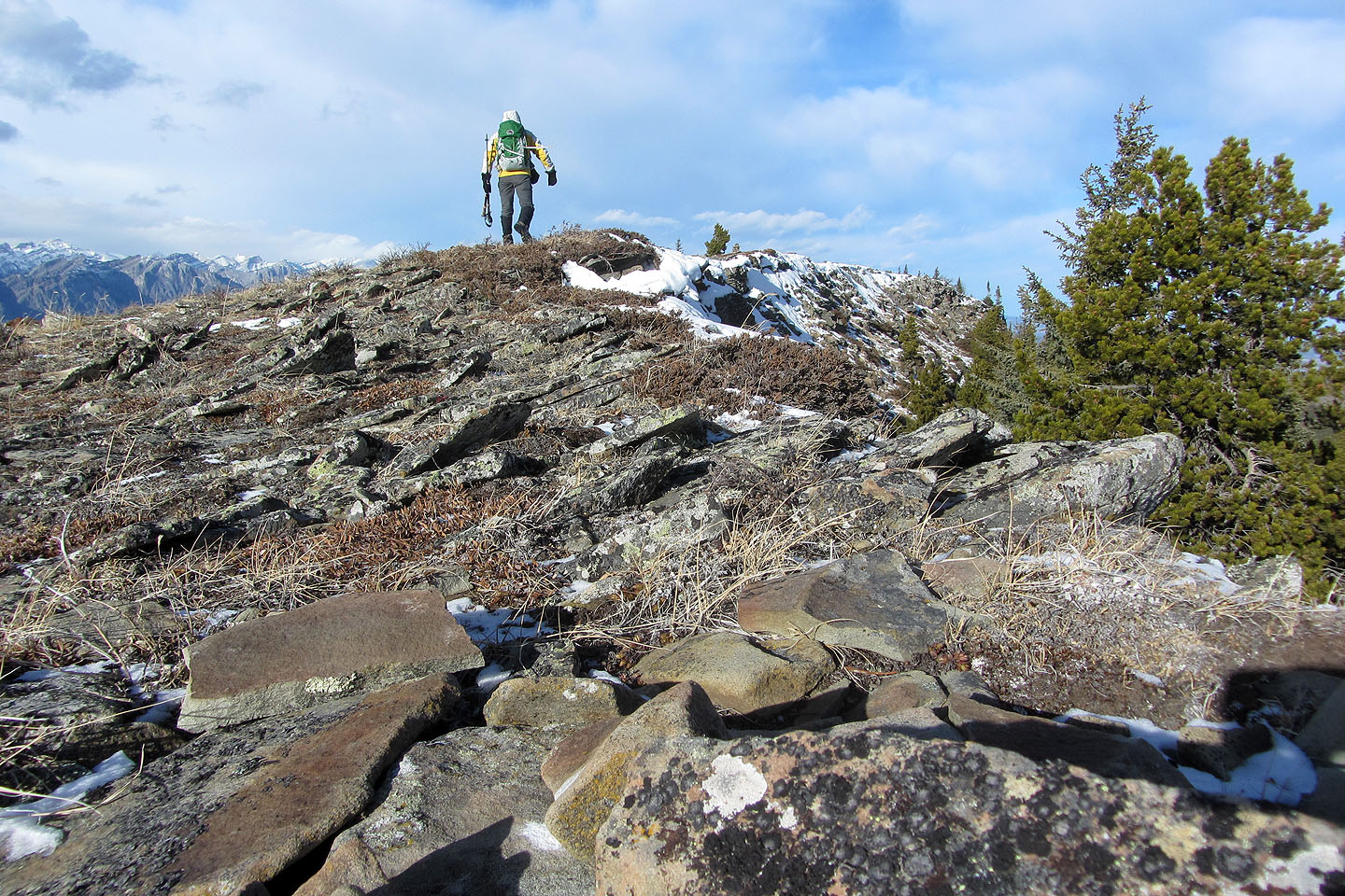
The ridge continues to the bald high point on the right
but I turned around at the summit
82 J/15 Bragg Creek, 82 O/2 Jumpingpound Creek