bobspirko.ca | Home | Canada Trips | US Trips | Hiking | Snowshoeing | MAP | About
Hummingbird Plume Lookout
Kananaskis, Alberta
November 3, 2020
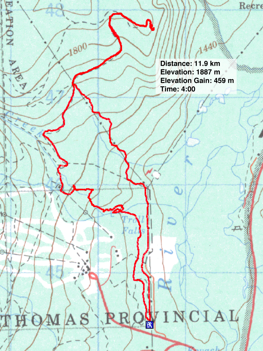
Distance: 11.9 km (7.4 mi)
Cumulative Elevation Gain: 552 m (1811 ft)
Despite the disconnect in their odd names, Troll Falls and Hummingbird Plume Lookout are well-connected by trails. Gillean describes a practical loop in Kananaskis Country Trail Guide. From the access on Stoney trail, follow the signs to Troll Falls. From the falls, take trails to Skogan Pass trail. That trail leads to the turnoff for Hummingbird Lookout. For a quick return, drop down the powerline road back to Stoney trail. But don't expect much scenery on this trip; we spent most of the time hiking in trees.
Under Chinook conditions which were quickly melting snow from a recent snowfall, Dinah and I turned onto the trail for Troll Falls 50 m from the trailhead. Following signed trails broad enough to take a truck, we caught the narrower trail that leads to Troll Falls, still half-frozen. From there we followed signs for Upper Falls and reached Marmot Falls. Just past the icy falls, the official trail ends and a hard-to-follow path begins.
The trail tries to hug Marmot Creek but isn't well-defined and is rife with branches going who-knows-where. But you'll want to take the branch that crosses the creek after a water-testing site. Past the site, when the trail swings away from the creek and back into trees, look for a side path back to the creek. Cross the creek where you like – paths line either side – but the remains of a bridge lead to a grassy road to Skogan Pass trail.
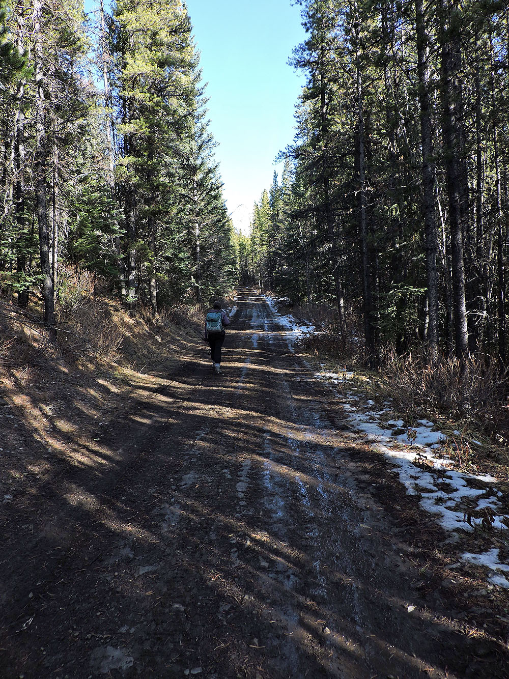
Skogan Pass trail, at least this section, is actually a road. At one point, we had to stand aside to let a truck pass. When the trail came to a powerline right-of-way, we turned onto the wide trail for Hummingbird Plume Lookout.
As we hiked up the trail, the treetops swayed violently as Chinook winds ripped through them. Listening to the creaks and groans of churning trees, we were alert for falling branches or worse. But nothing broke or fell, and we safely reached the dilapidated lookout. A short walk took us to a small viewpoint.
After we had lunch on the picnic table by the lookout, we hiked back to the powerline. We followed the road as it meanders down a steep slope, briefly touching the powerline right-of-way but mostly running through the forest. We hit Stoney trail at the bottom and had a pleasant stroll back to the parking lot.
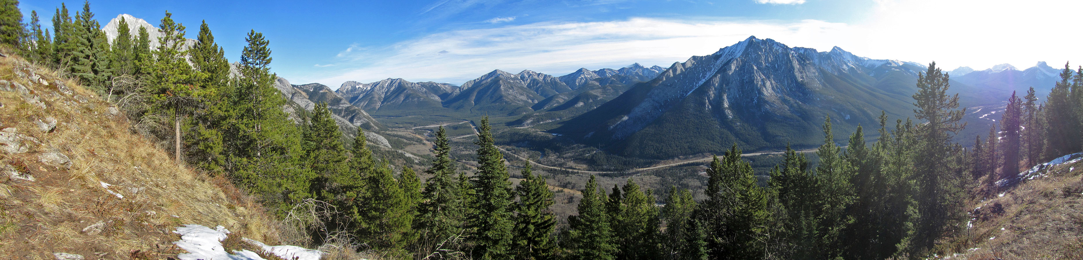
View from the trailhead. The green hill in the centre is Hummingbird Plume. The sign on the left is the start for Troll Falls.
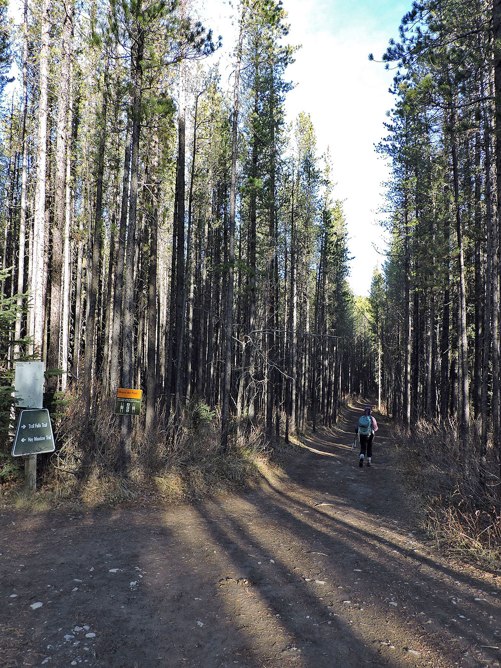
Walking up the broad trail
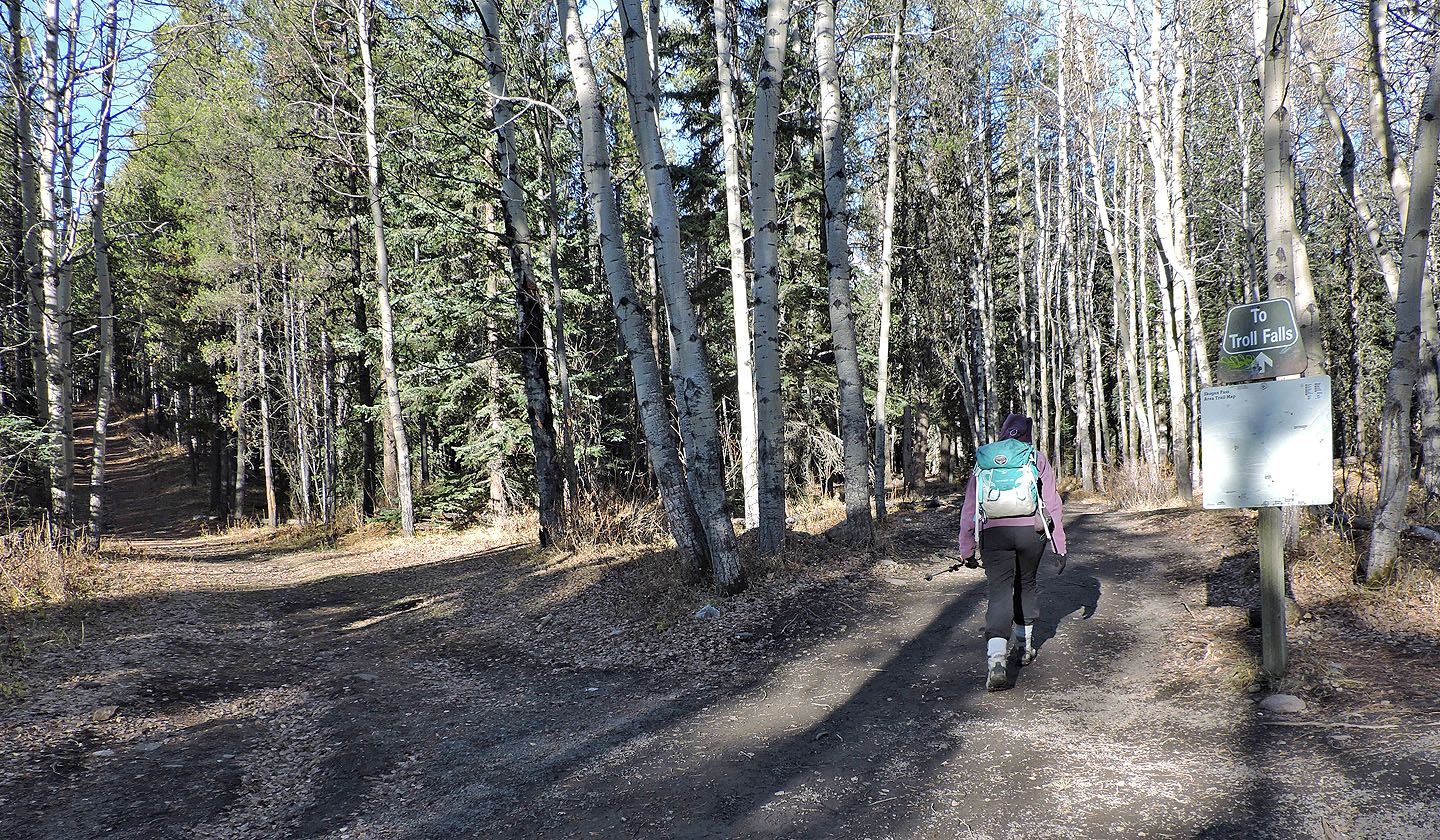
Turning onto the trail to Troll Falls
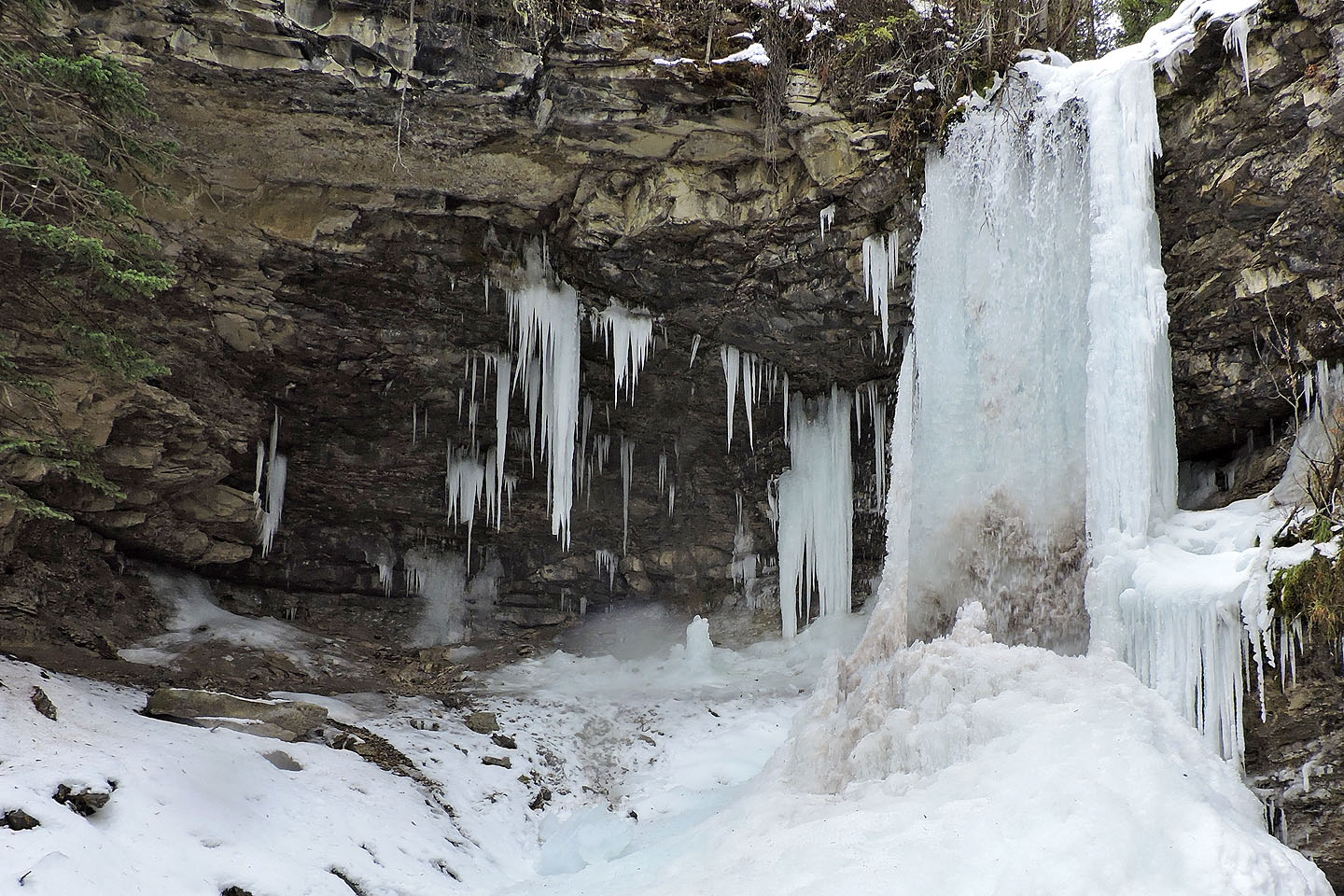
Troll Falls
The troll is left of the falls, but a sign warns hikers have been injured venturing beyond the wood fence.
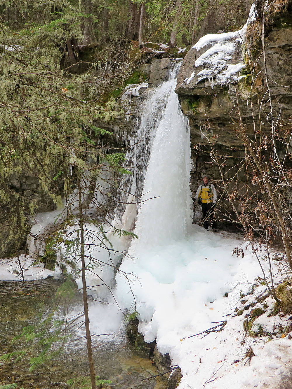
From Troll Falls we followed signs to Marmot Falls
The trail leads to more falls
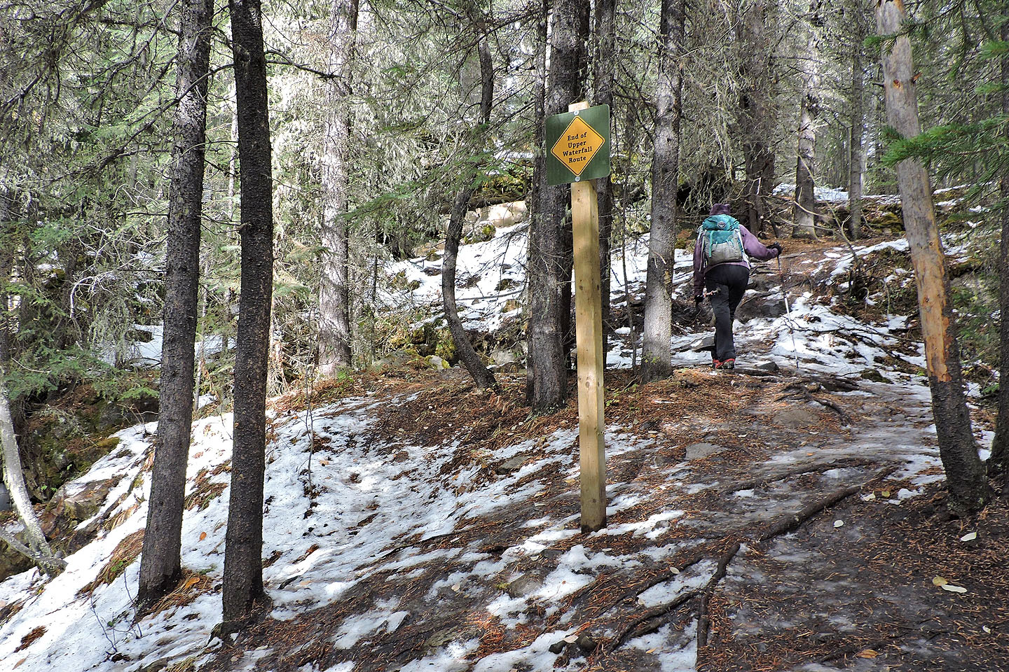
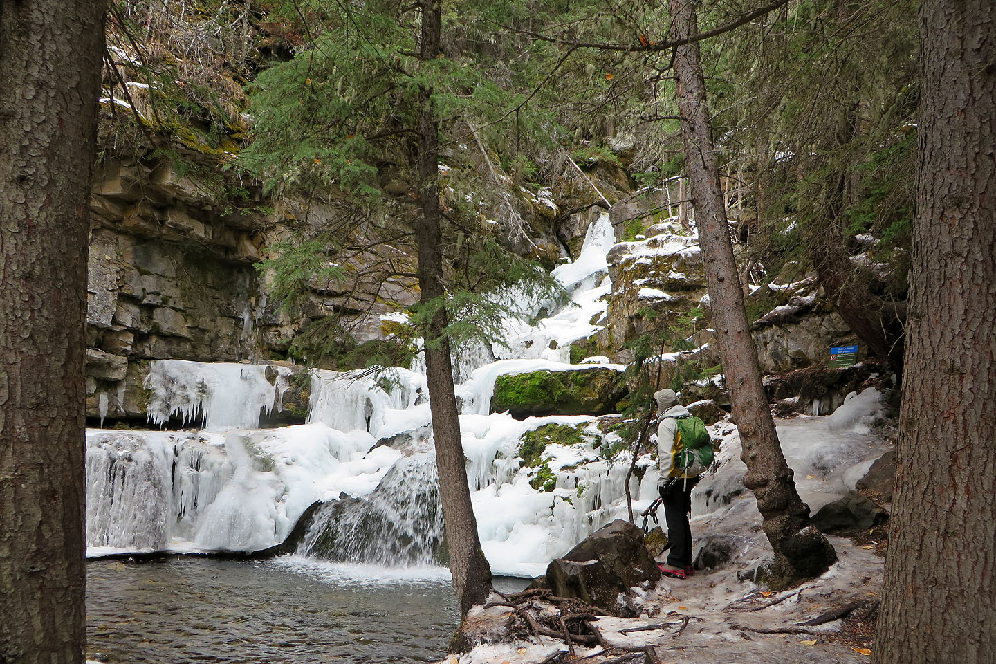
We continued past the end-of-the-trail sign
A short side trail leads to a viewpoint
Back on the trail after stopping at the viewpoint
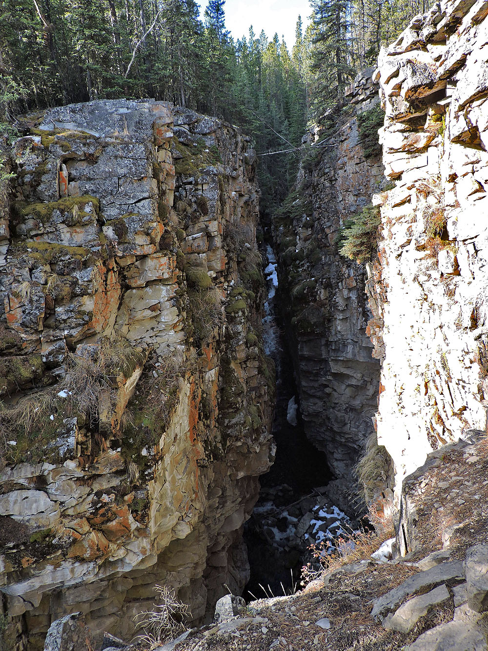
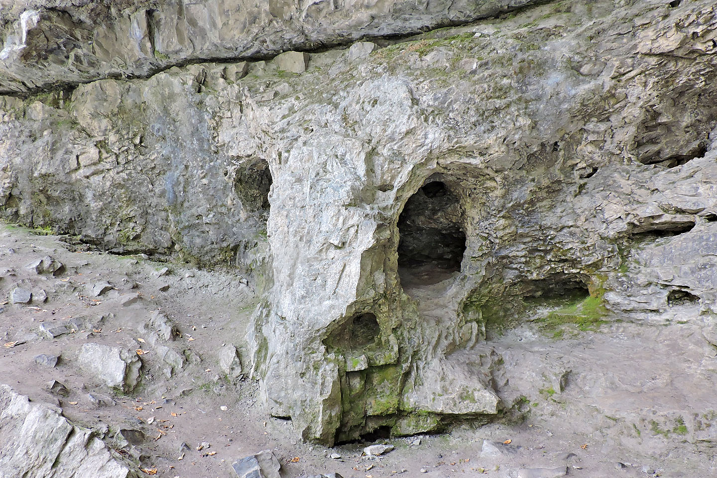
The trail passes a slot canyon
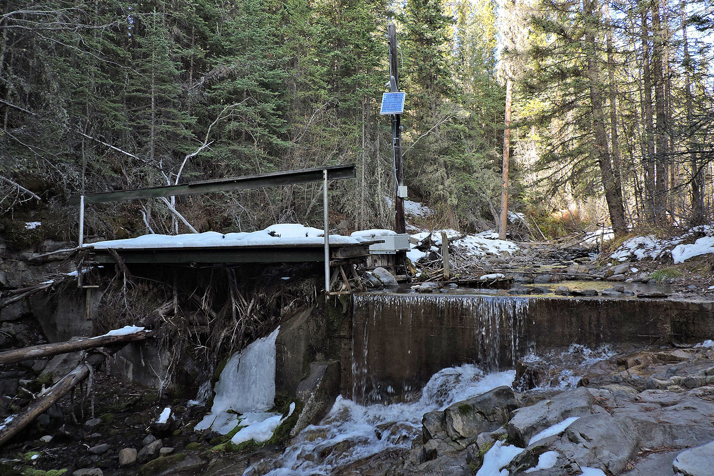
This site measures water flow
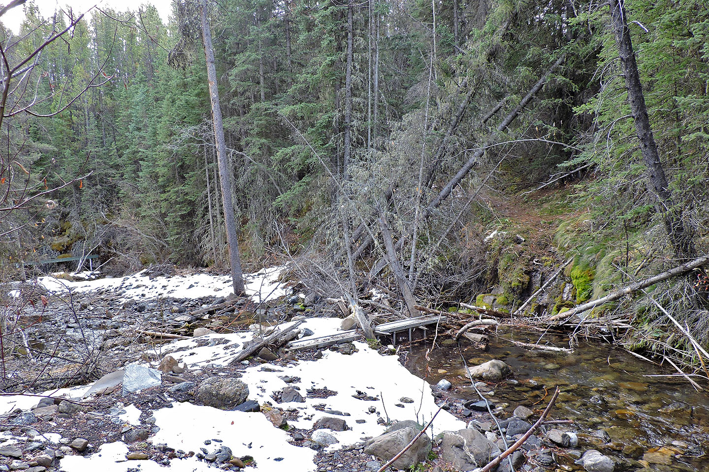
Immediately after the testing site (seen on the left) is the remains of a bridge. The trail continues on the other side.
After crossing the creek and hiking up a grassy road, we reached Skogan Pass trail
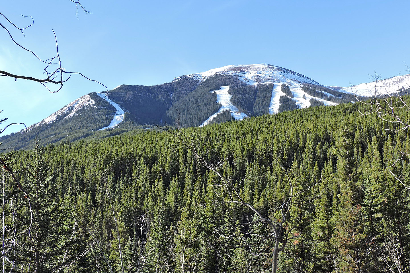
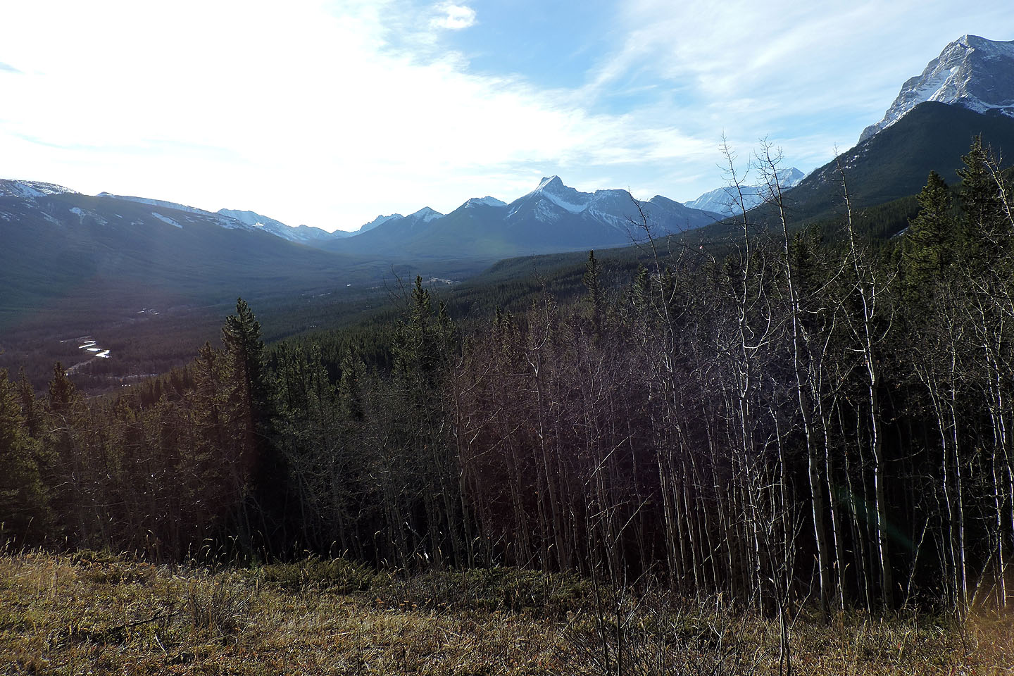
Olympic Summit
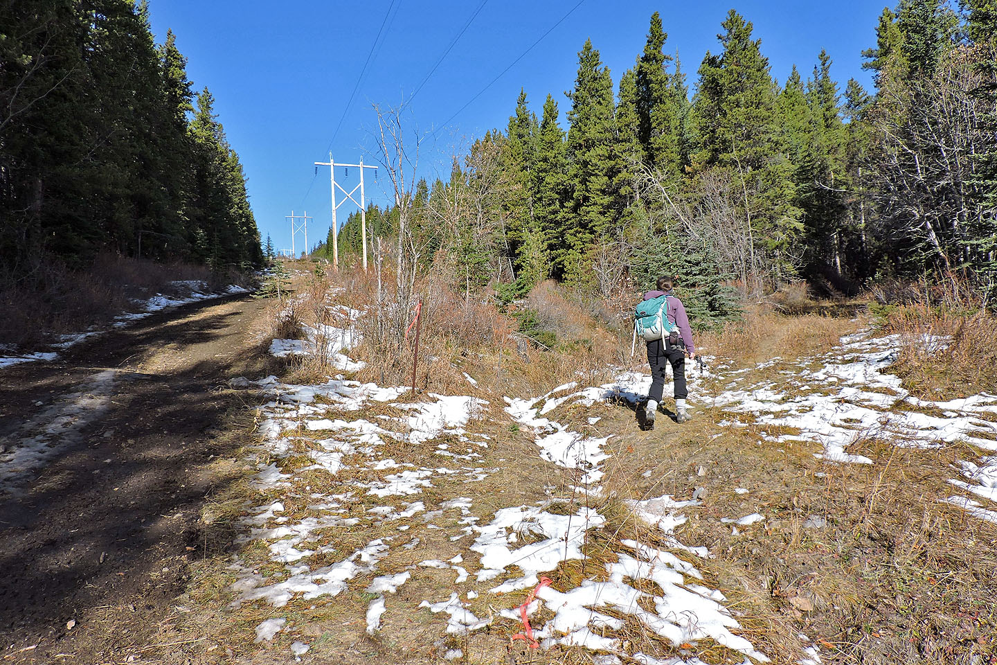
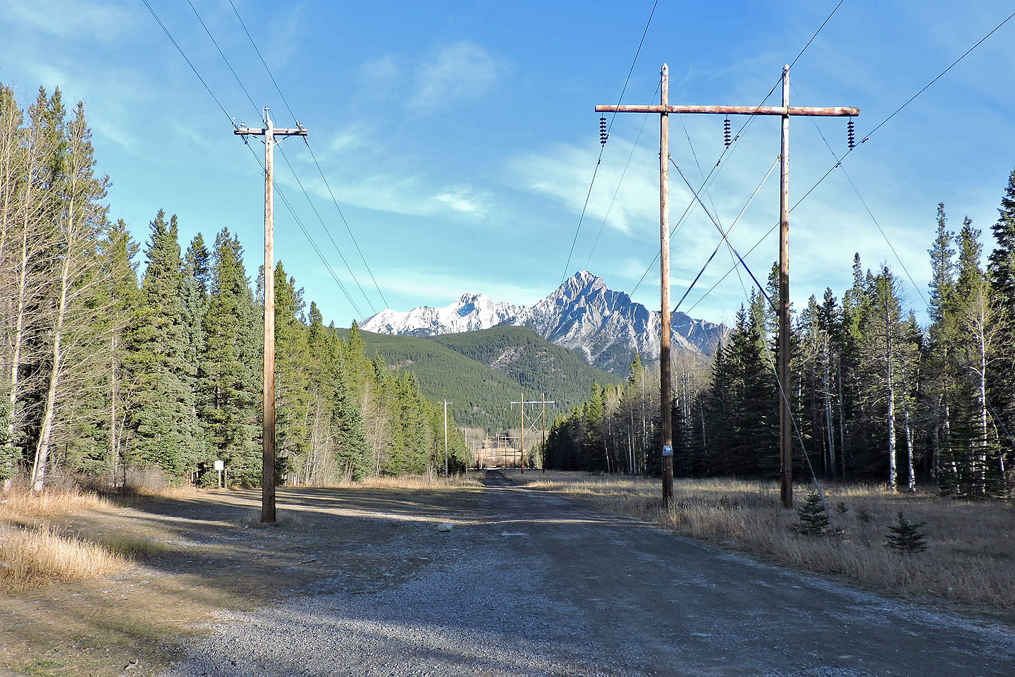
We turned onto the trail for Hummingbird Plume Lookout. On our descent, we followed the powerline down from here.
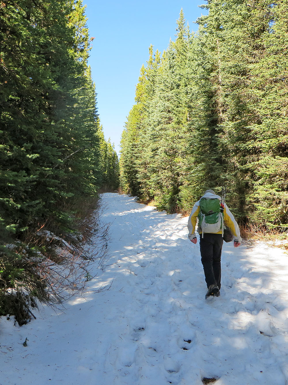
We soon hit snow
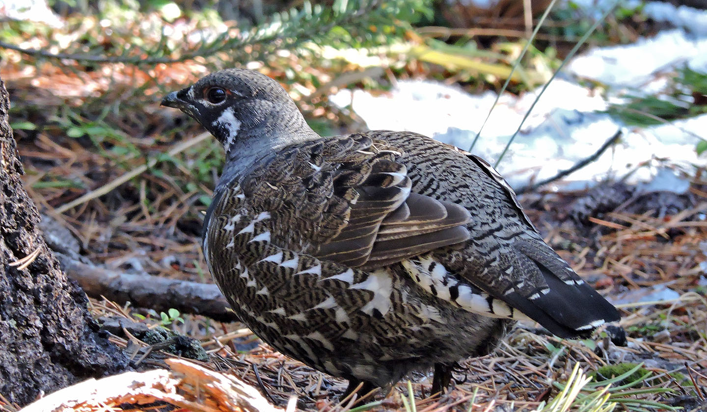
We saw no hummingbirds but we did pass a spruce grouse
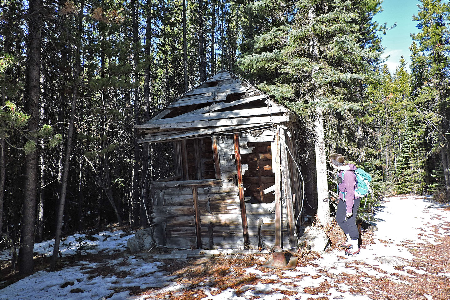
Hummingbird Plume Lookout
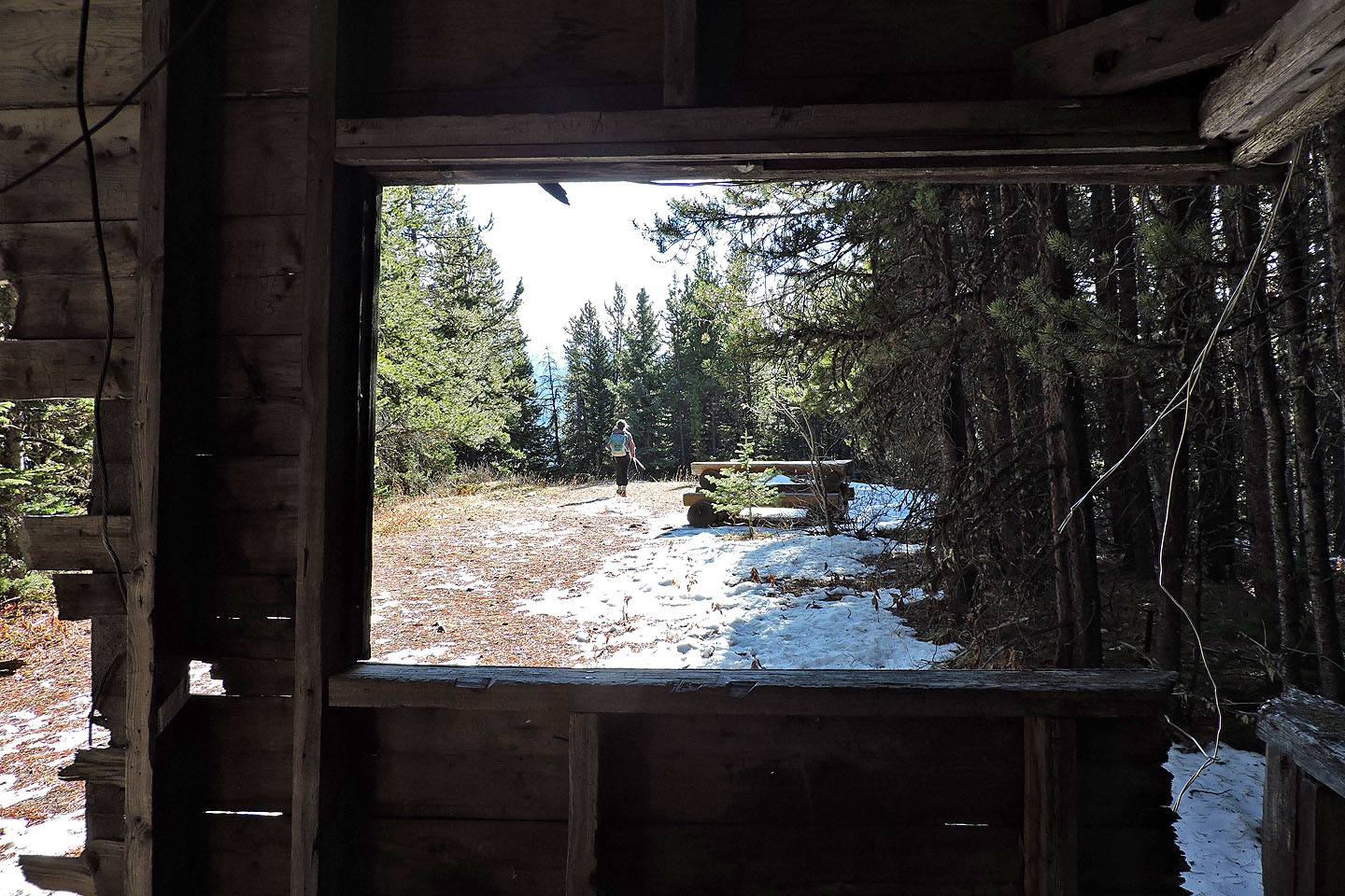
We walked past the lookout to the viewpoint
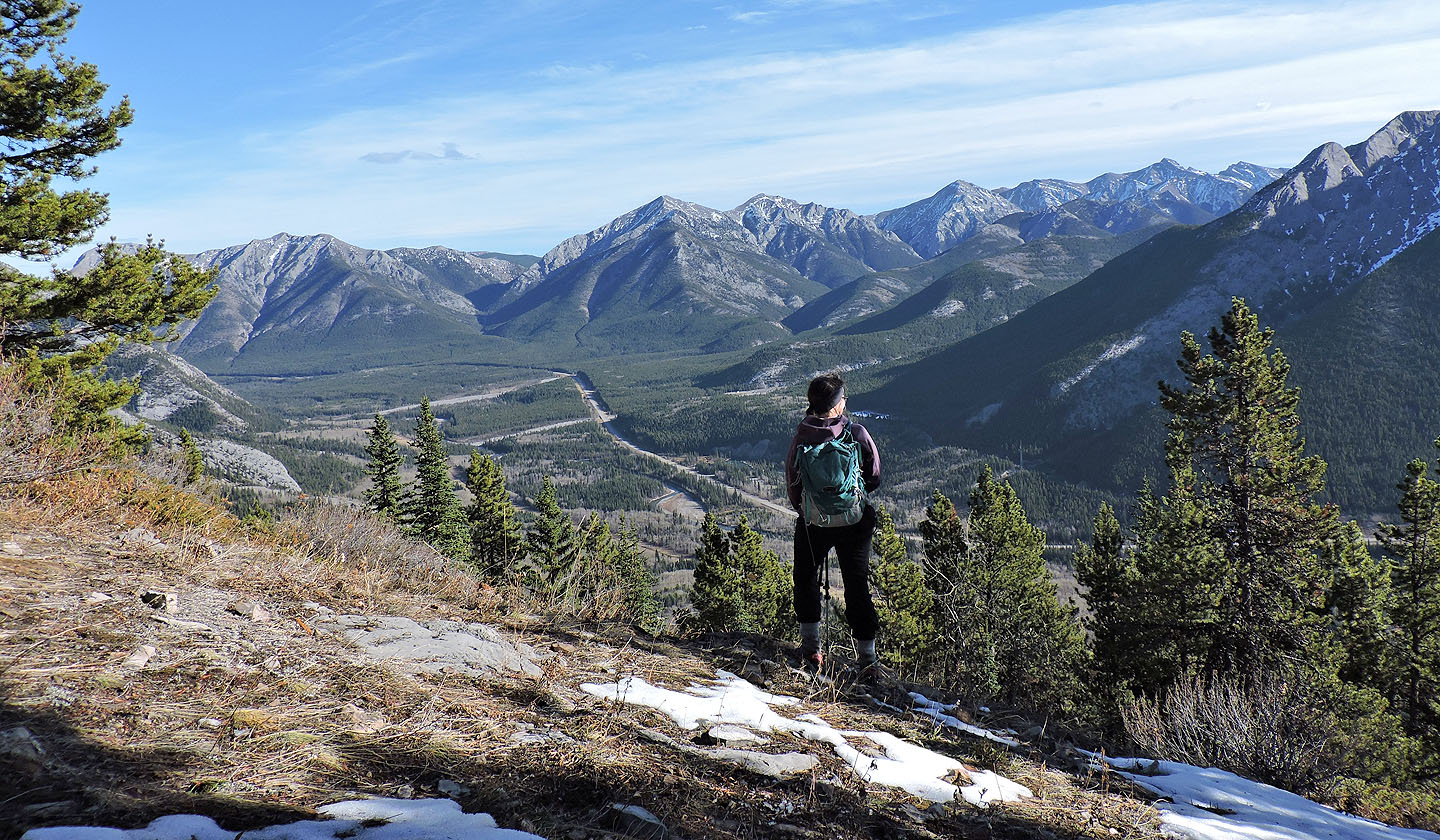
Gazing from the viewpoint. Midnight Peak in the centre.
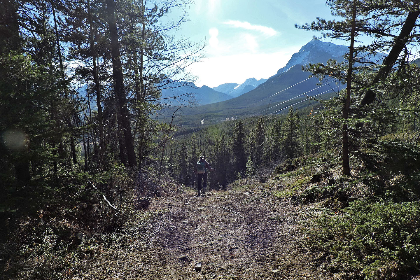
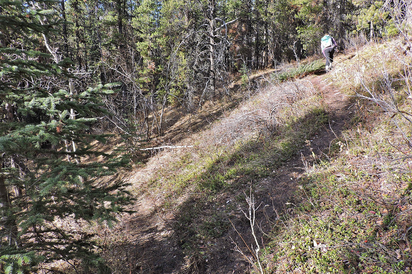
Following the powerline road back
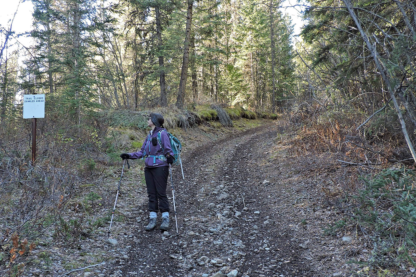
At the bottom of the road we came across a sign, "Road Closed 2.6 Miles Ahead," predating the 1970s when the metric system was introduced to Canada
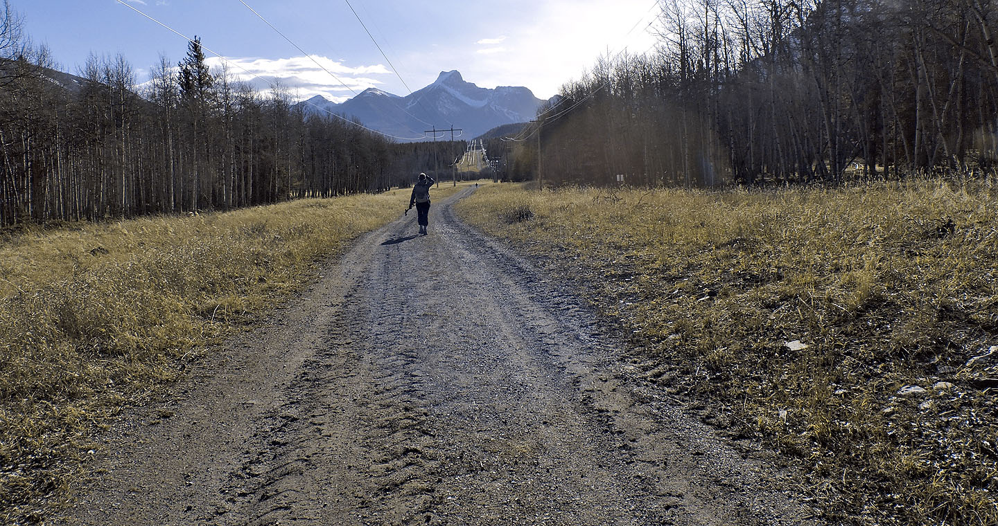
Walking on Stoney Trail
back to the parking lot
82 J/14 Spray Lakes Reservoir