bobspirko.ca | Home | Canada Trips | US Trips | Hiking | Snowshoeing | MAP | About
Grouse Ridge and Sibbald Ridge
Kananaskis, Alberta
August 18, 2022
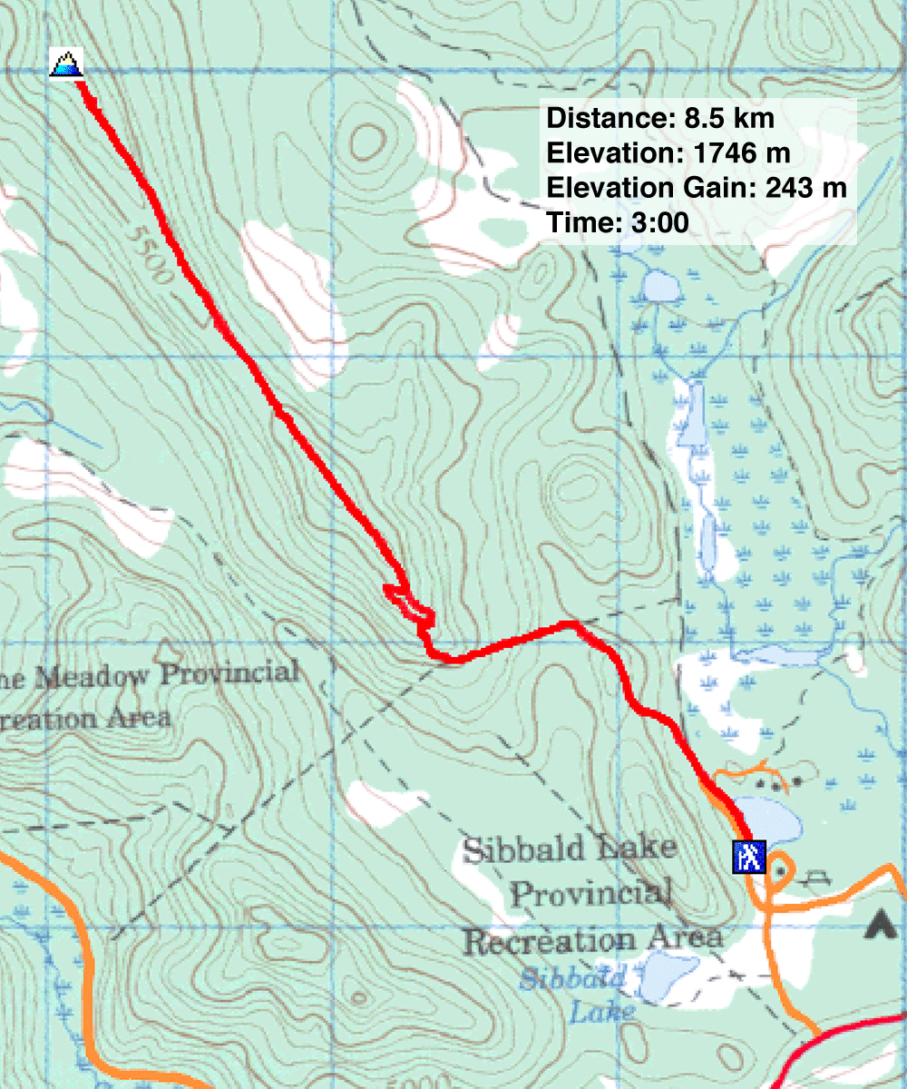
Distance: 8.5 km (5.3 mi)
Cumulative Elevation Gain: 325 m (1066 ft)
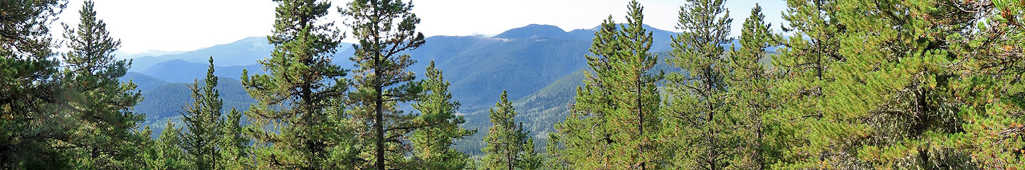
After climbing every other named point around Sibbald Flats, Dinah and I turned our attention to Grouse Ridge. It's no wonder we left it to the last. The hike offers no rewarding views.
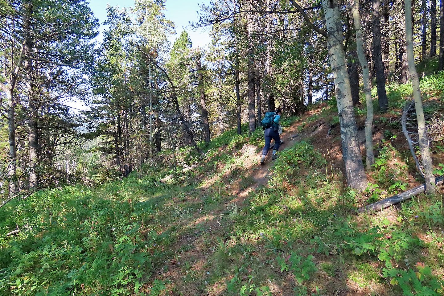
From Sibbald Flats parking lot, we started up the trail for Eagle Hill. When the trail turned left, we kept straight, climbing what appeared to be a cutline. When the trail crests the ridge, it turns right. We passed a meadow, the only notable glade on the entire trip. Above the meadow, the trail turns left. After a time, however, we realized the trail was no longer climbing and, in fact, started descending. So we bushwhacked up the slope to gain the ridge where we found a trail.
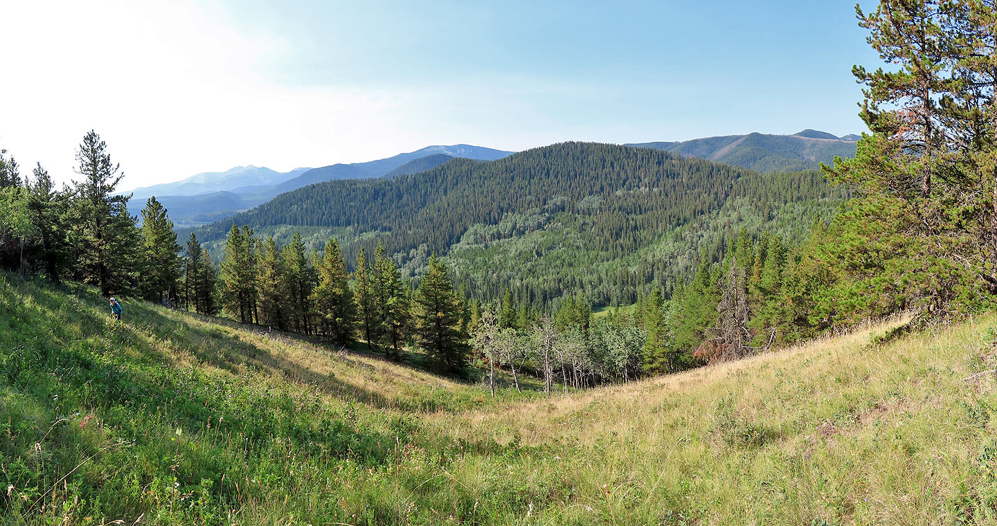
The trail sticks to the ridge, running over a bump, Sibbald Ridge, before dropping and gently climbing to the summit of Grouse Ridge. Trees lined the entire trail, and we only caught glimpses of what lay beyond the ridge. We groused about the lack of views. But we didn't complain about the occasional toppled tree on the trail, as we easily stepped around them.
After pausing on the summit, we headed back down. We followed the ridge trail down and saw where we went wrong. Above the meadow where the trail turns left, there is a faint trail going right. It links to the ridge trail.
Our final thought when we finished our hike was that when it comes to scenery, Grouse Ridge is a turkey. However, it was a hot day, and we appreciated hiking a pleasant trail in the cool shade of the forest.
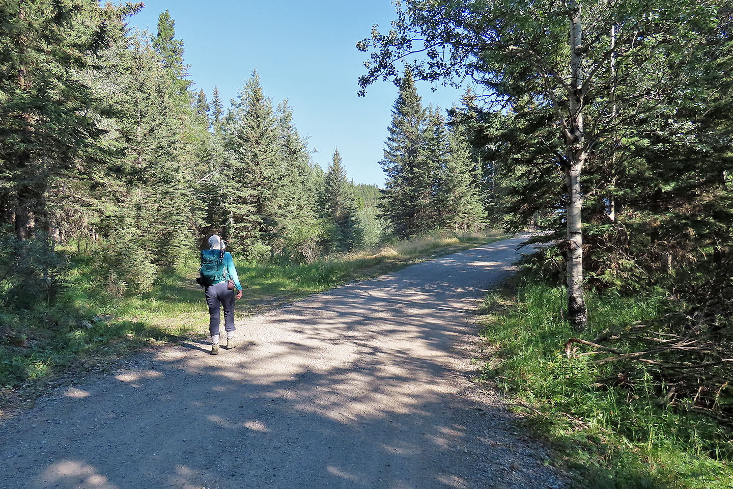
The trail begins a short distance up the road
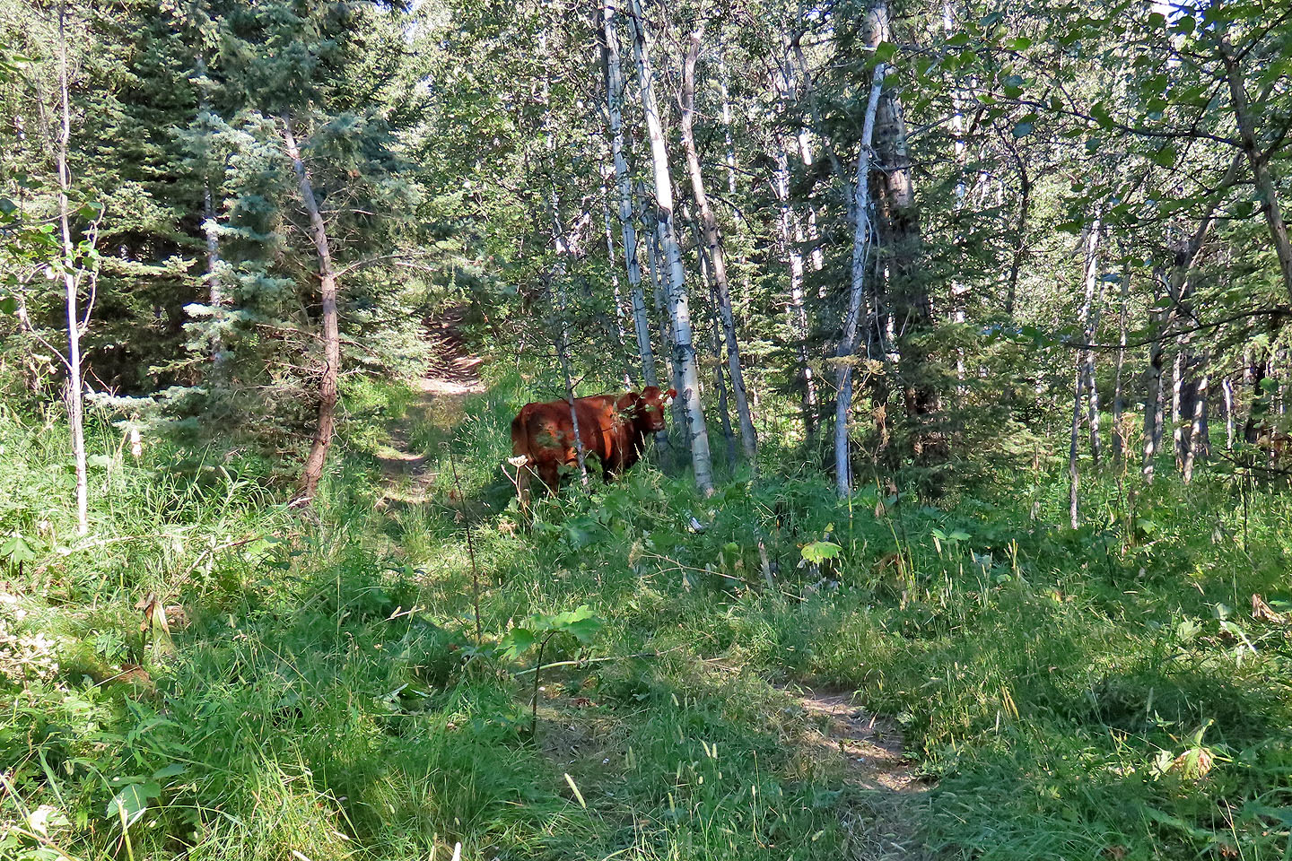
We had to wait for cows to clear the trail
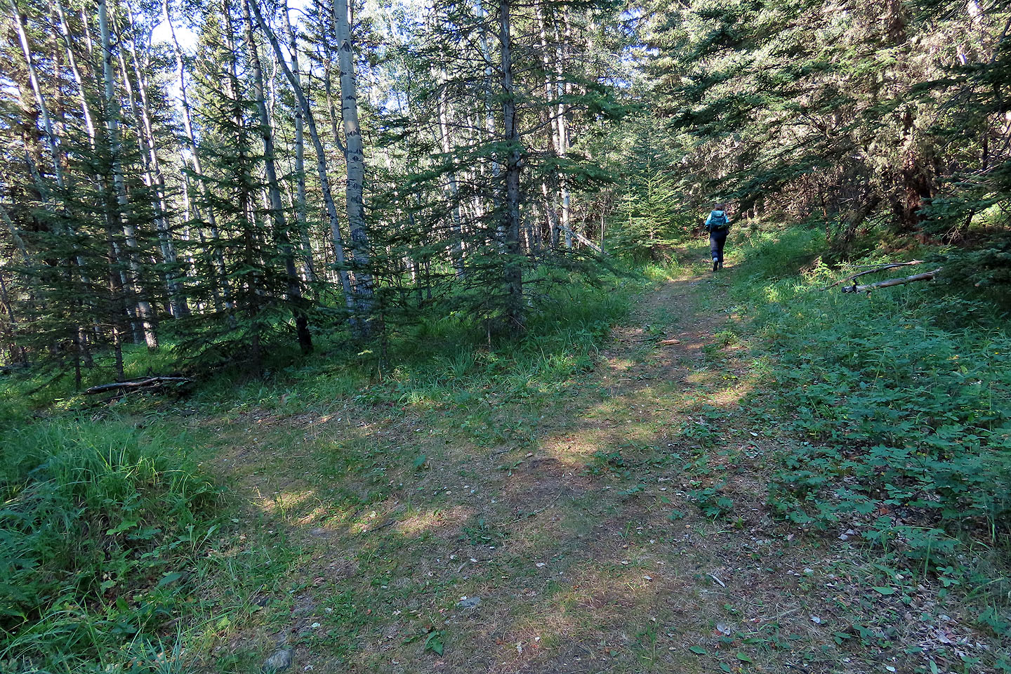
We left the main trail and started up the trail for Grouse Ridge
Following the trail up the cutline
On the crest, the trail turns right
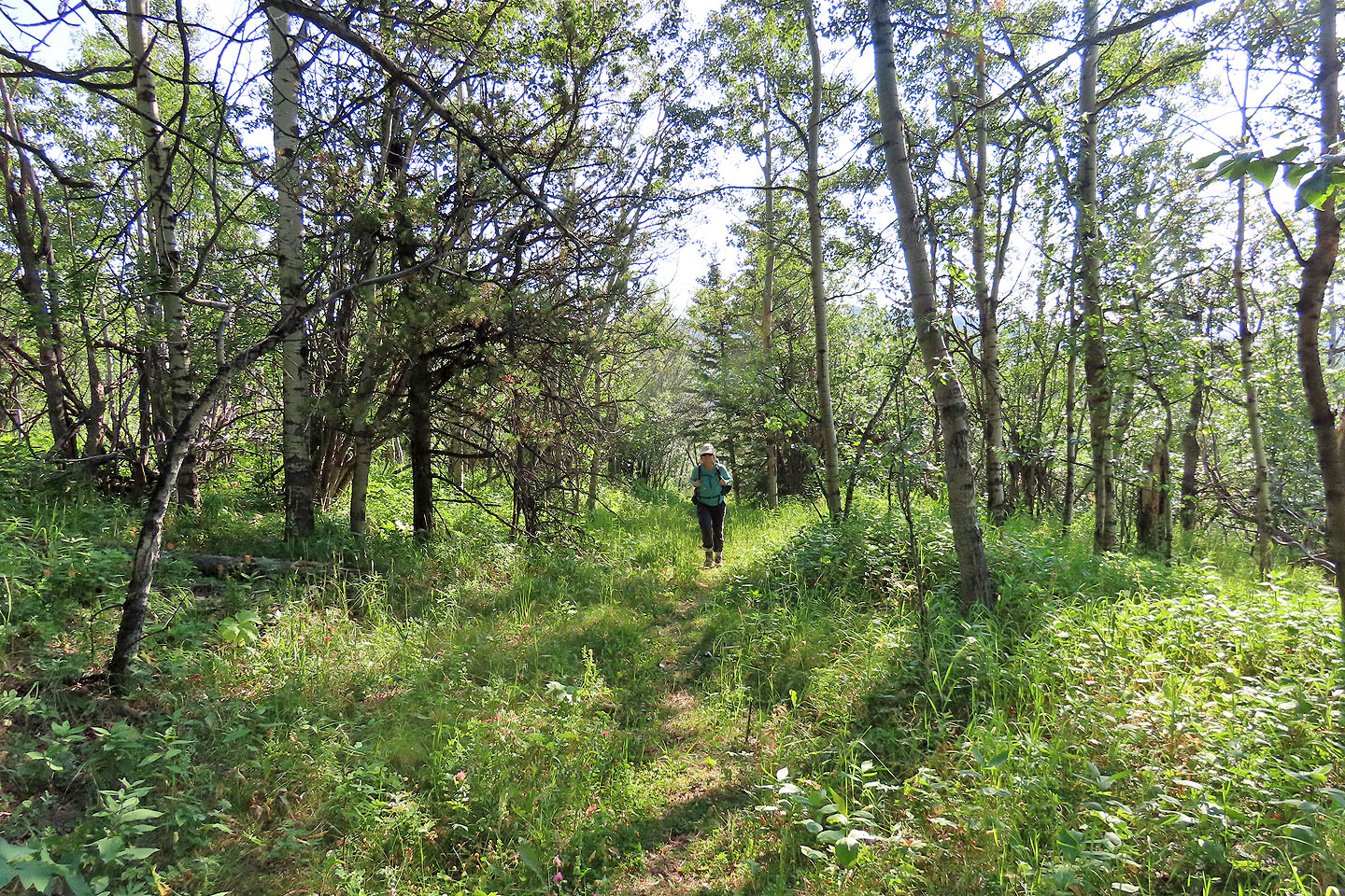
The trail passes through a meadow
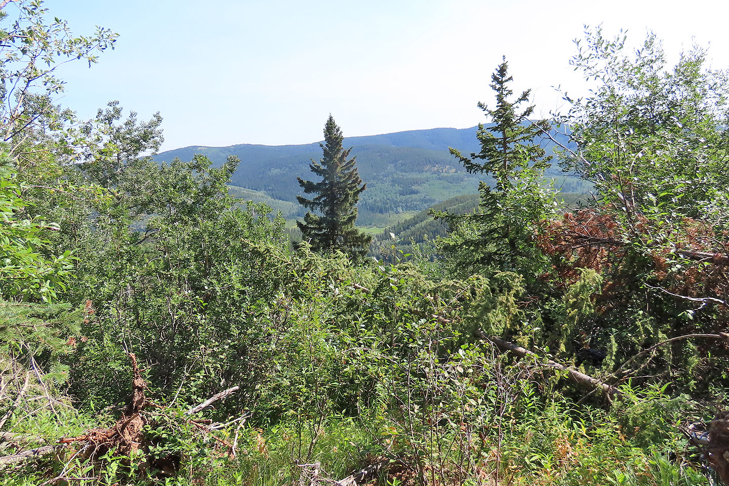
The meadow offers the best viewpoint on the hike. Deer Ridge fills the scene.
Staying on the main trail, we kept left. Here we should have turned right on the faint trail seen in the centre that leads to the ridge trail.
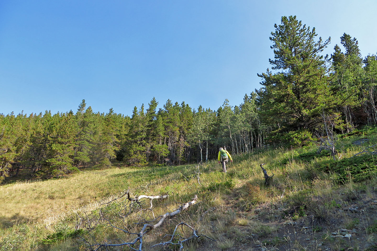
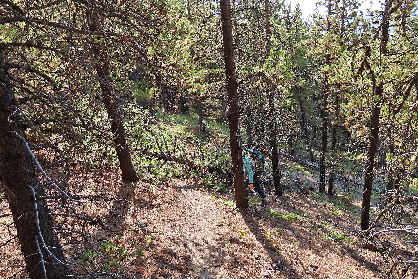
Following the ridge trail
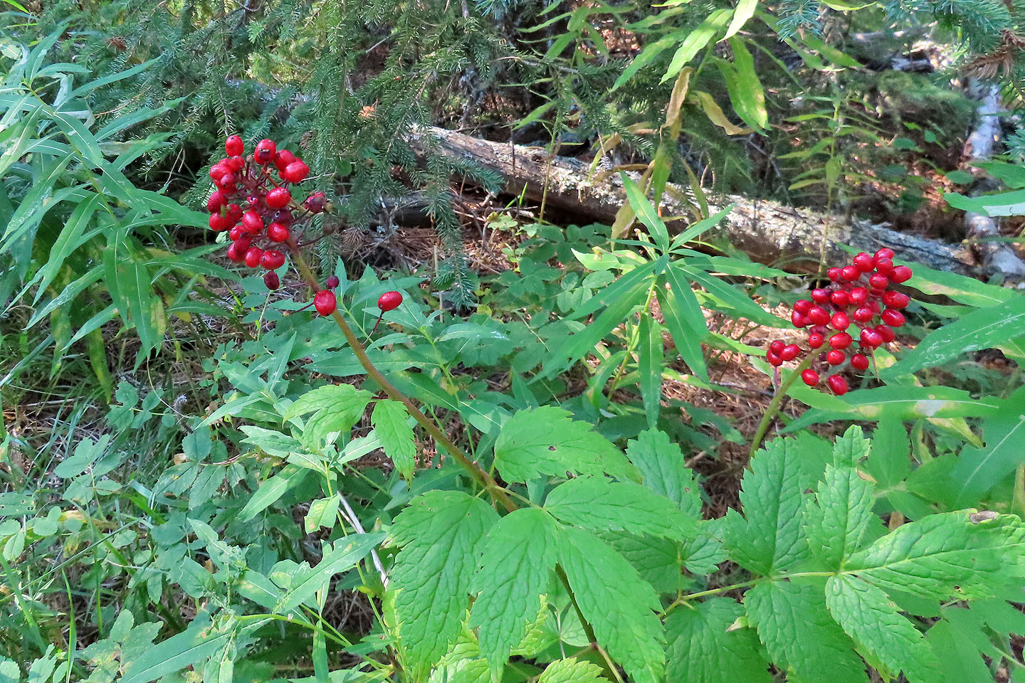
Baneberries offered a splash of colour
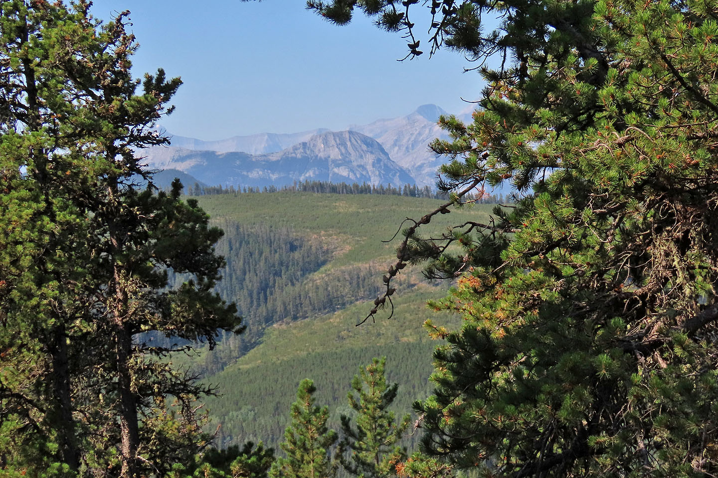
Through the trees we got a glimpse of Ole Buck Mountain
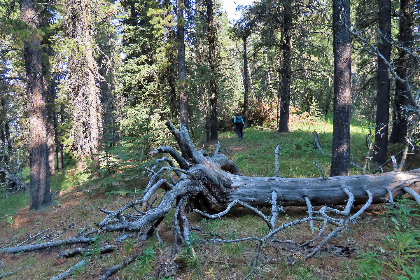
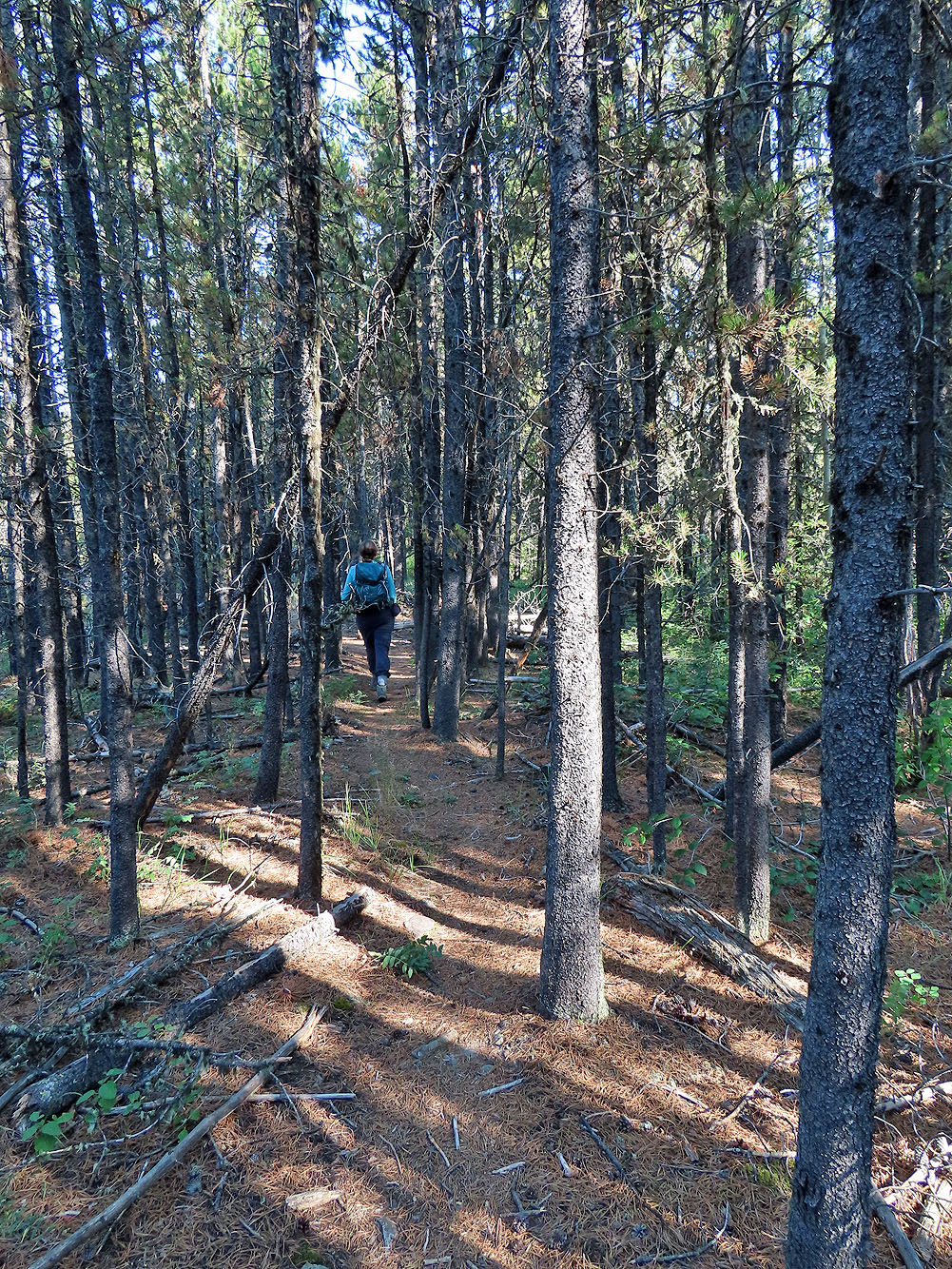
Further along the ridge, the trees are larger and nicely spaced
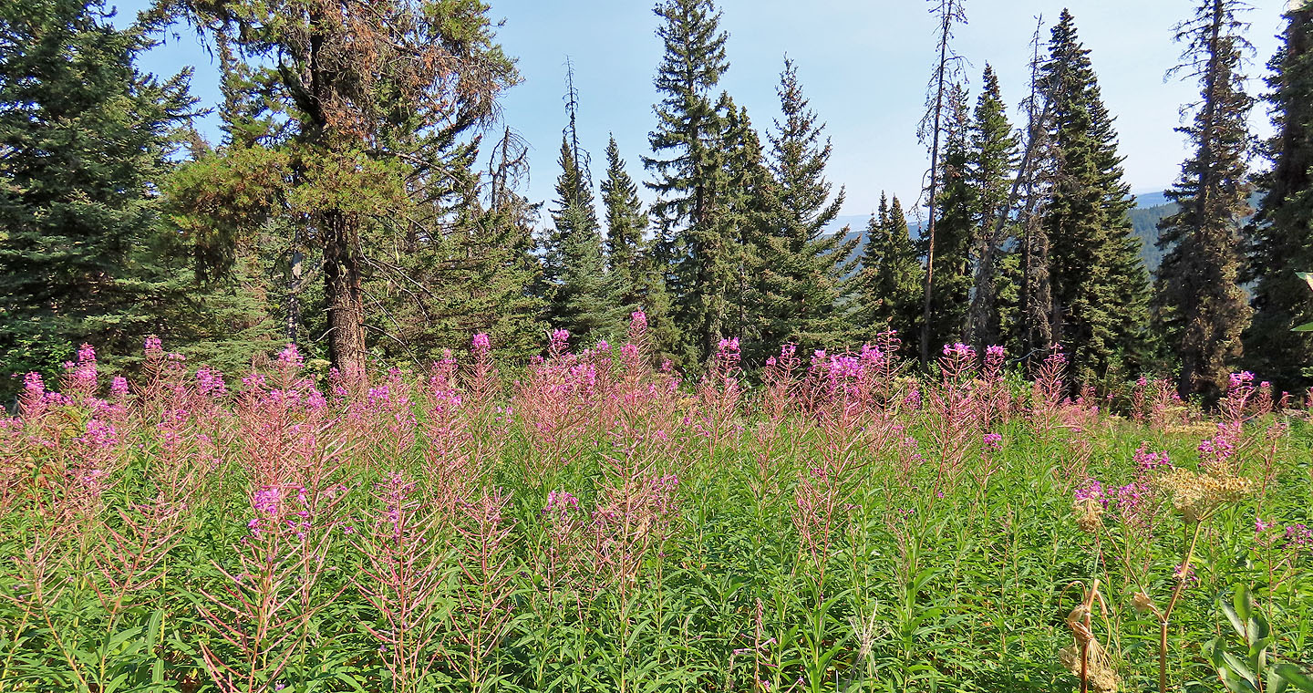
Fireweed
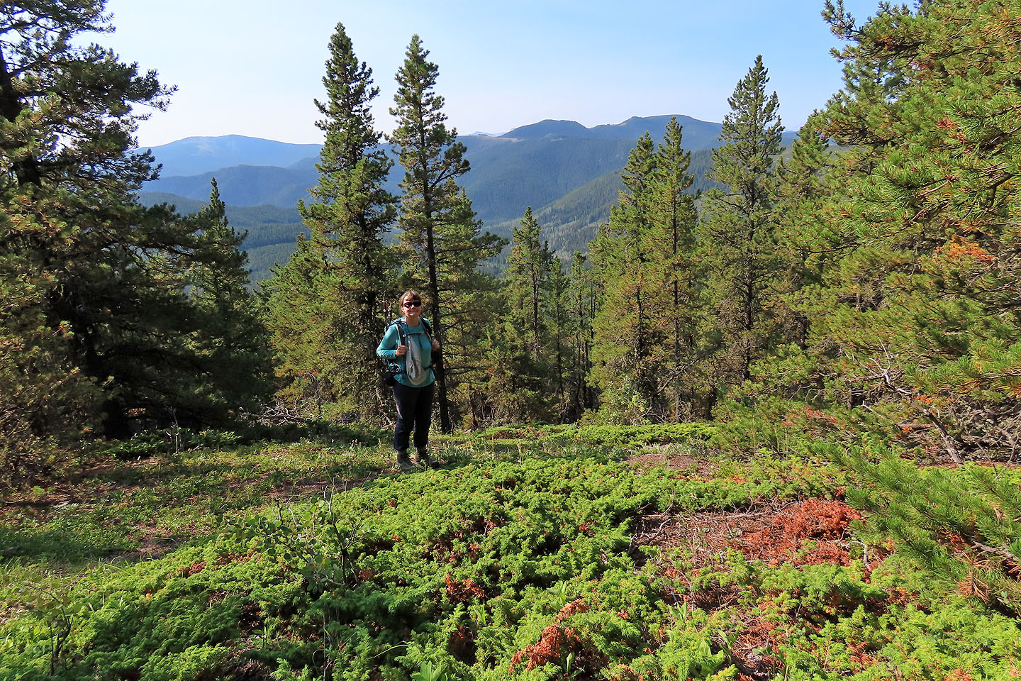
Dinah stands in a clearing near the summit
82 O/2 Jumpingpound Creek