bobspirko.ca | Home | Canada Trips | US Trips | Hiking | Snowshoeing | MAP | About
Diamond T Loop
Kananaskis, Alberta
June 1, 2020
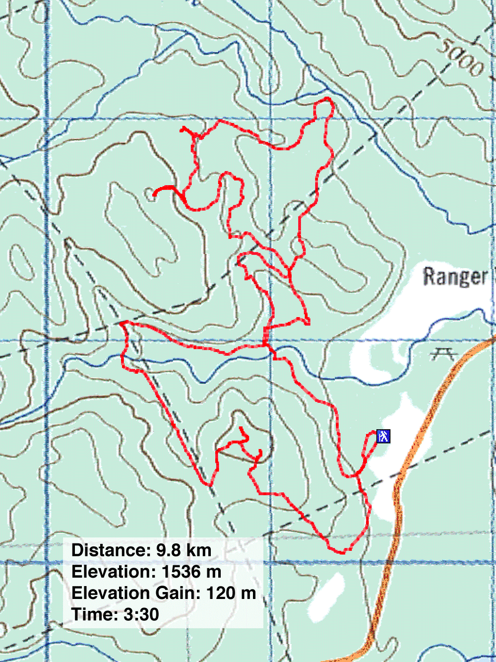
Distance: 9.8 km (6.1 mi)
Cumulative Elevation Gain: 288 m (945 ft)
Diamond T Loop provides a pleasant, albeit viewless, short walk in the woods, but it's also the starting point of two popular biking trails. Wishing a longer trip than the 4.7 km that Diamond T offers, it's easy to add sections of Ridgeback and Tom Snow to create a 9-km loop. Although the route is still stuck in trees, one can access a cutblock near Razorback and get a panoramic view from a bump. The bump is too low to view much more than forested hills, but it is an escape from the trees.
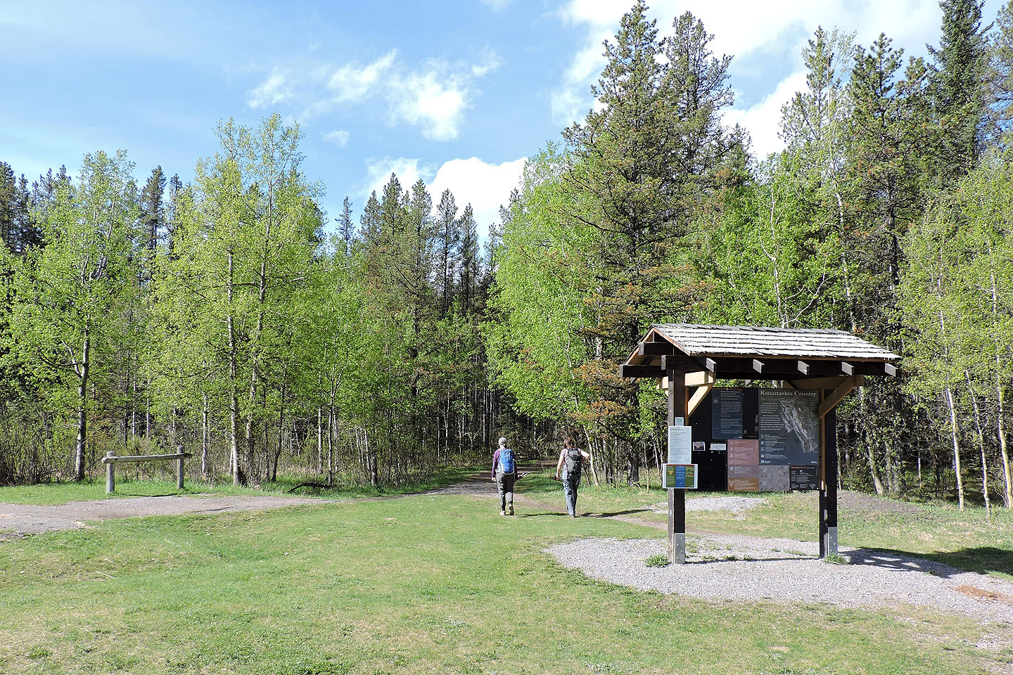
Starting at Station Flats, Renata, Dinah and I started hiking Diamond T Loop clockwise. At the north end of the loop, the trail hits both Ridgeback and Tom Snow. We kept left and followed Ridgeback. Ridgeback and Tom Snow soon meet again, and we kept left on Ridgeback. Here Ridgeback runs close to, but not in sight of, a cutblock.
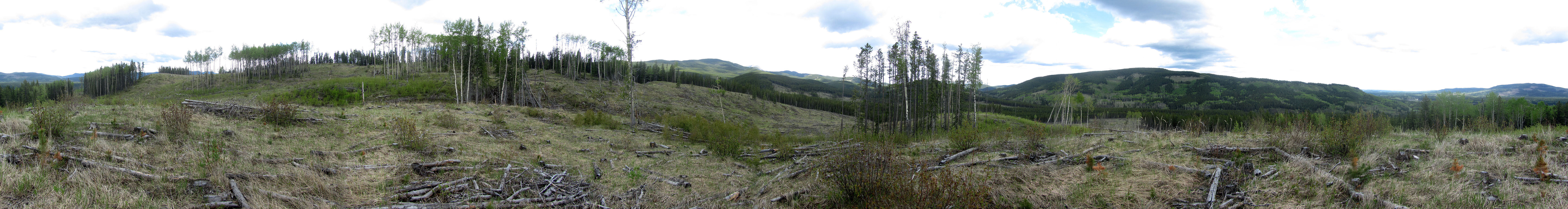
Leaving the girls behind on a high point along the trail, I hiked 80 m up a faint trail to the edge of the cutblock. Another 100 m brought me to the top of a bump where I took a panorama. It's not a pretty sight, just a debris-strewn landscape. I didn't bother trying for a slightly higher bump nearby that was covered in trees.
After I rejoined the girls, we continued north along Ridgeback. When Ridgeback again intersects Tom Snow, we kept right and followed Tom Snow back to Diamond T. We kept left to take the other half of Diamond T back to the trailhead.
Our hike wasn't as laid-back as you might think. Although our net elevation gain was a mere 120 m, we more than tripled that by following the roller-coaster-like trails. If this sounds more your style, then consider extending Diamond T Loop.
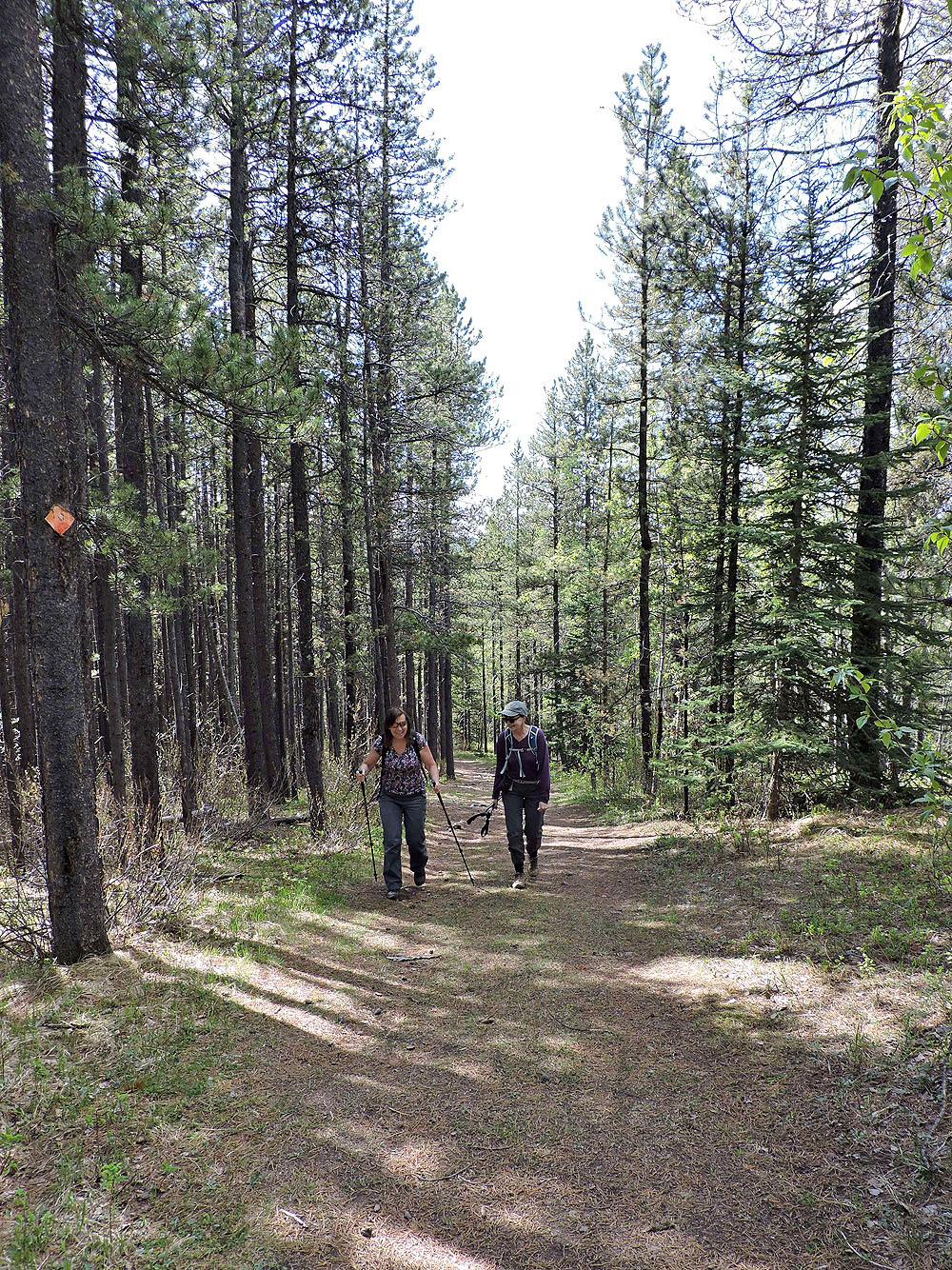
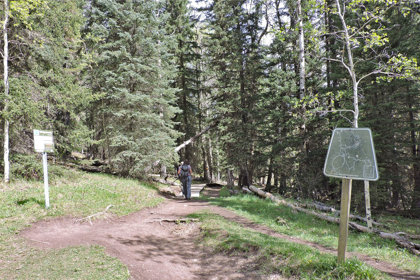
Starting up the trail
Red diamonds indicate what trail you are on
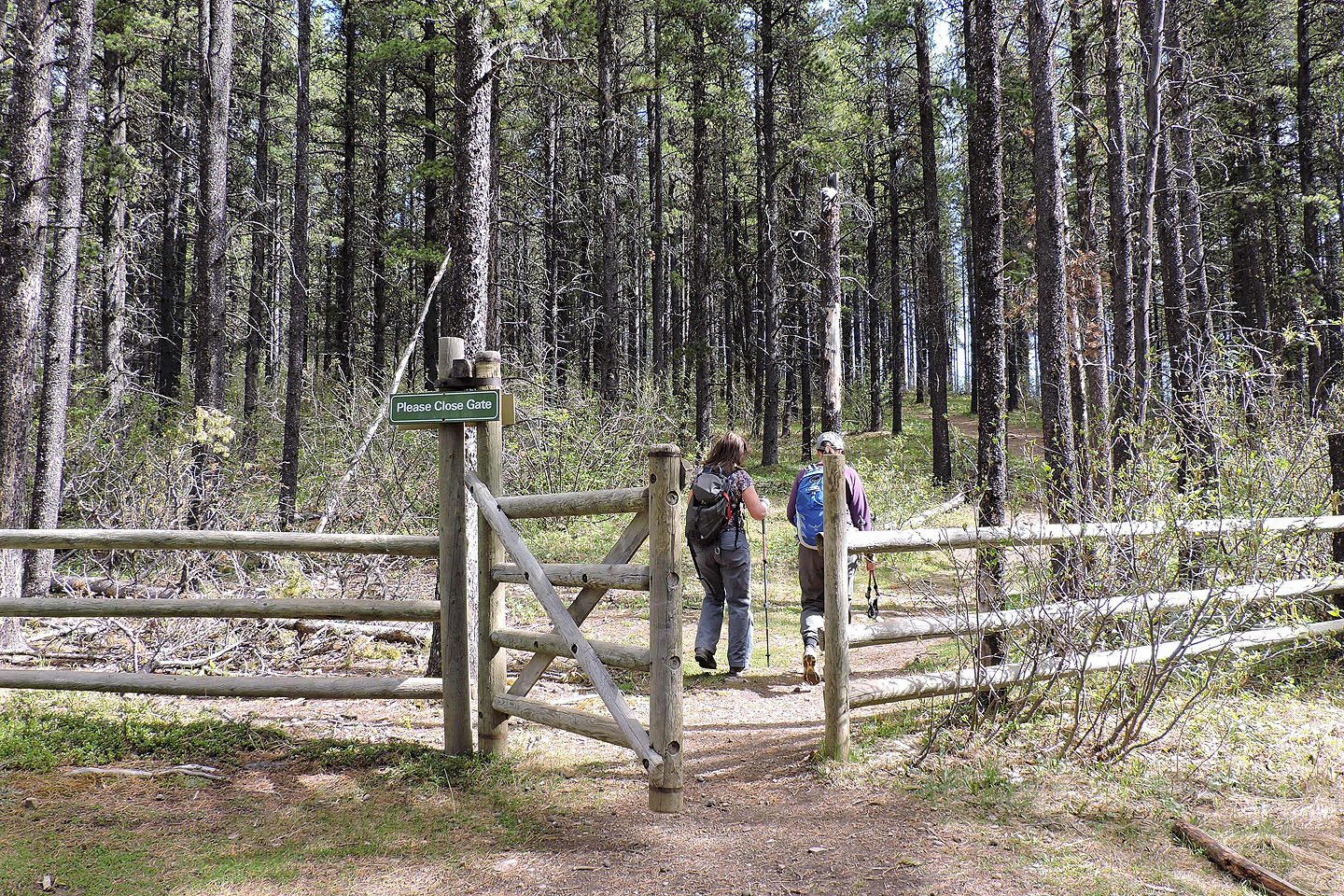
We soon passed through a gate
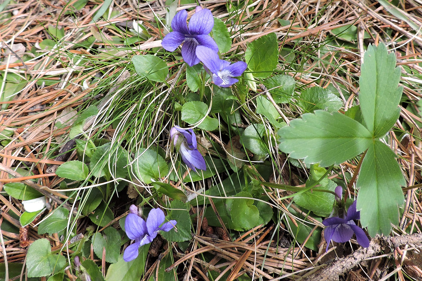
Early blue violets
An unsigned side path leads to a viewpoint
A short time later, a signed side trail leads to a "Lookout" but trees prevented us from looking out at anything
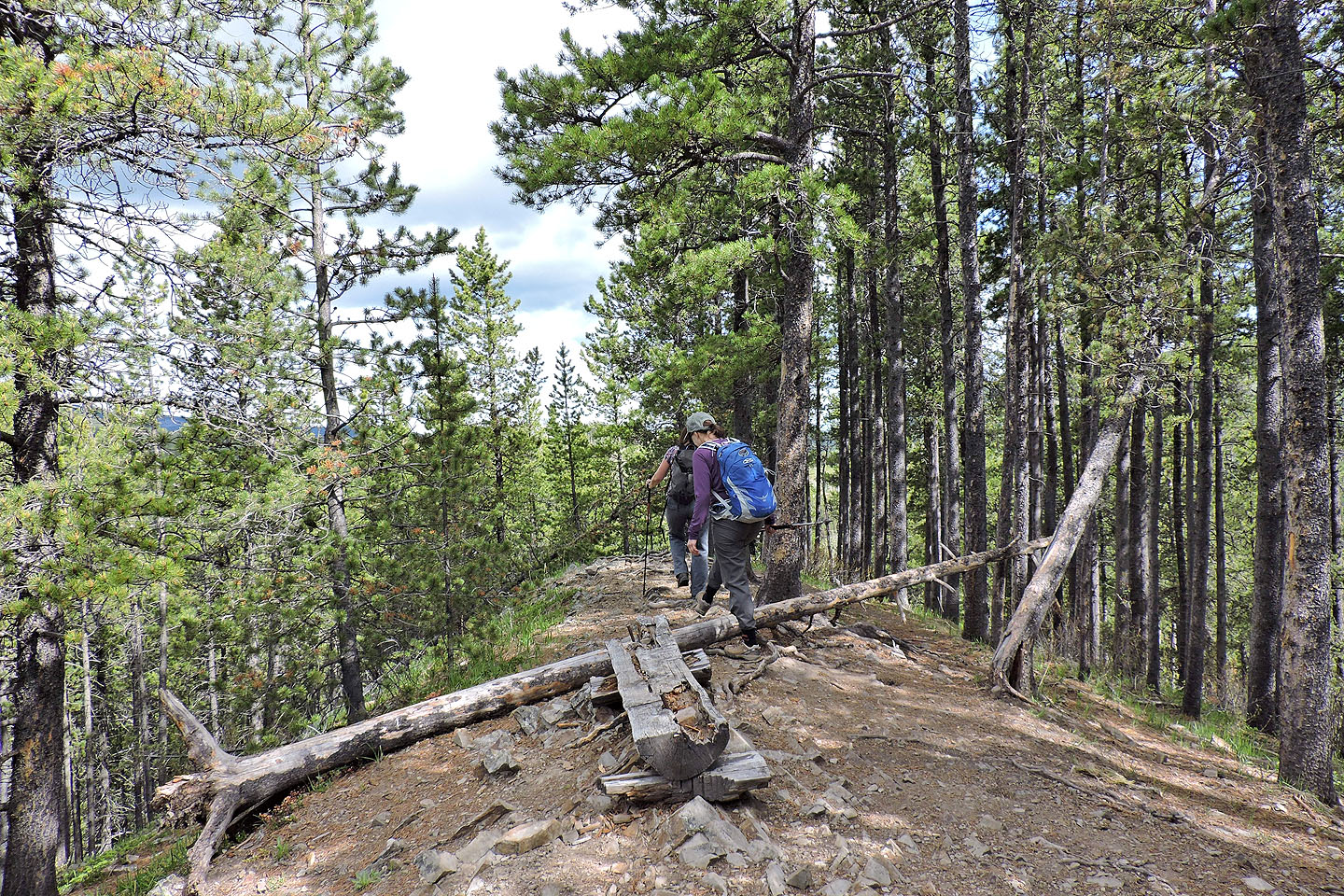
Coming down the trail after the lookout
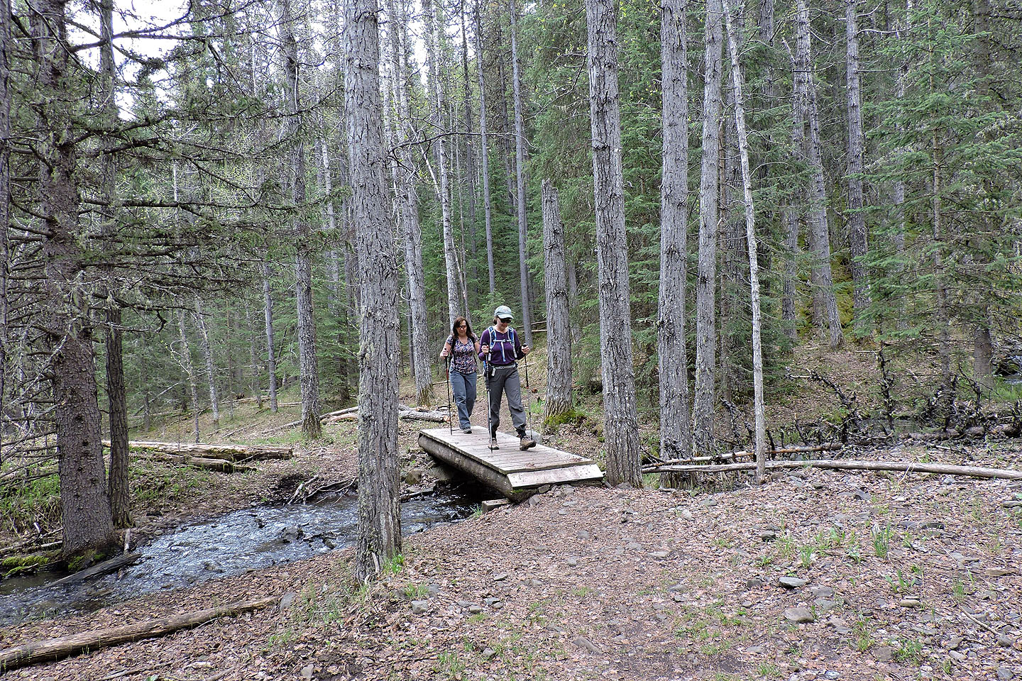
There's a couple of bridges like this one to cross
We passed through a couple of clearings
At the junction at the north end of Diamond T loop, we kept straight to get on Ridgeback trail
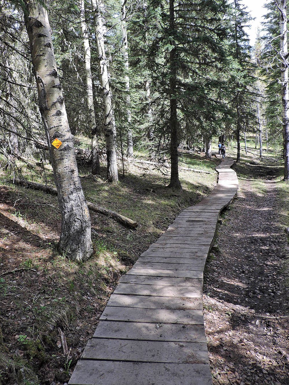
The trail begins with a long boardwalk
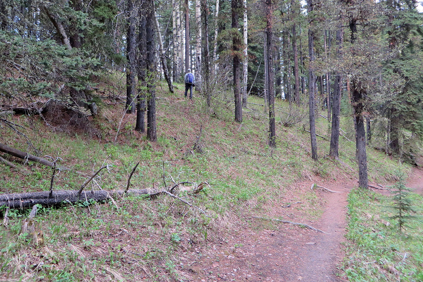
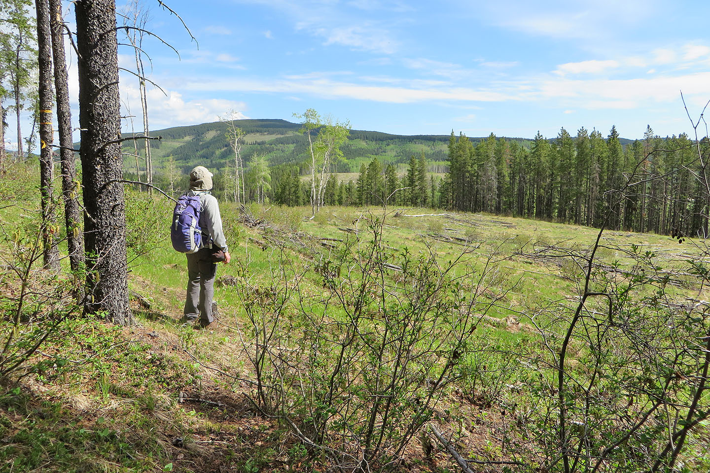
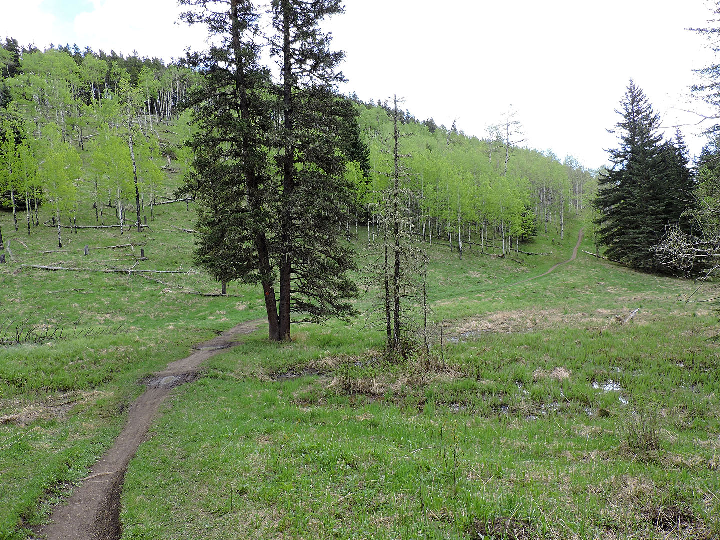
At a high point on the trail, I followed a brief, faint trail to a clearcut
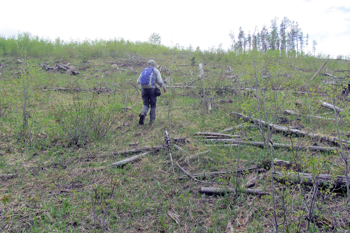
I headed to the bump where I took the panorama
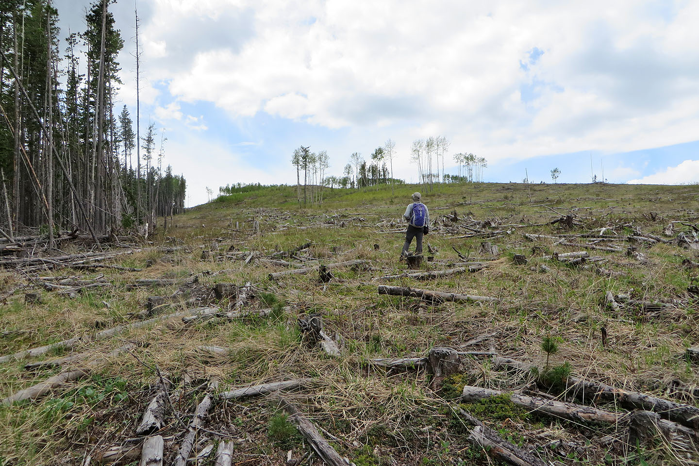
Farther along the trail, we stepped into the clearcut to see the bump I climbed
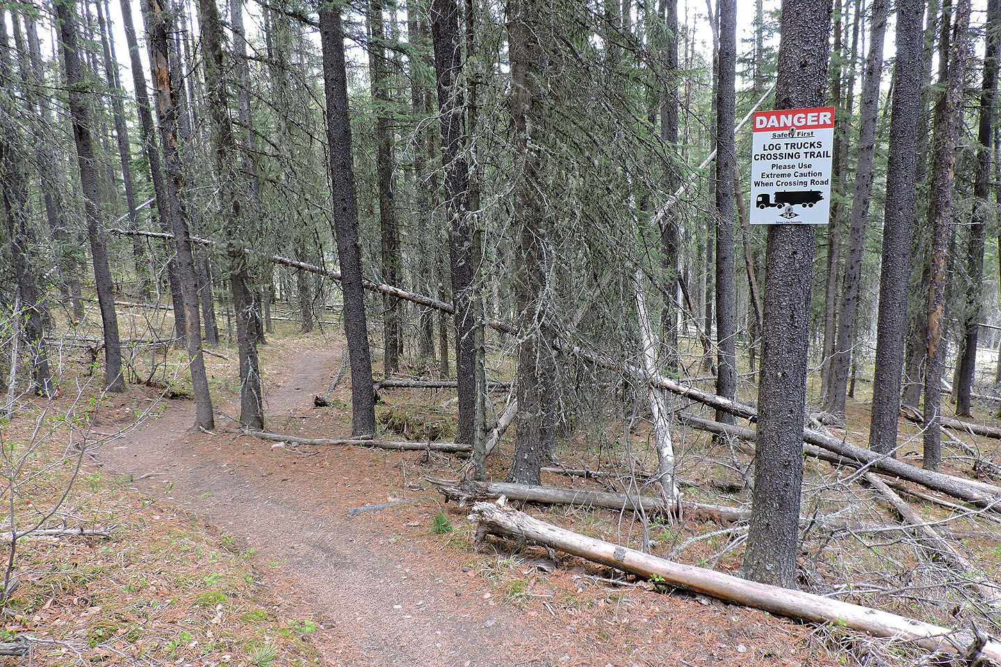
Continuing on Ridgeback, we came across a warning. But there were no trucks, no road either.
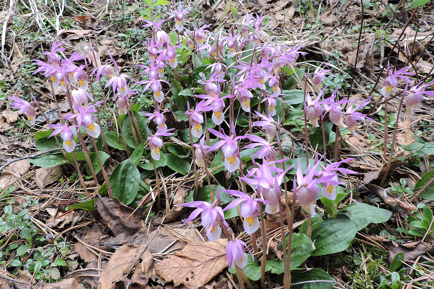
We spotted a bunch of calypso orchids, the most I've ever seen
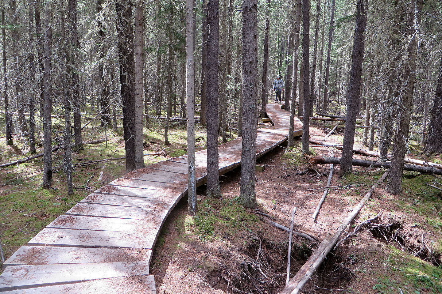
We followed a second boardwalk
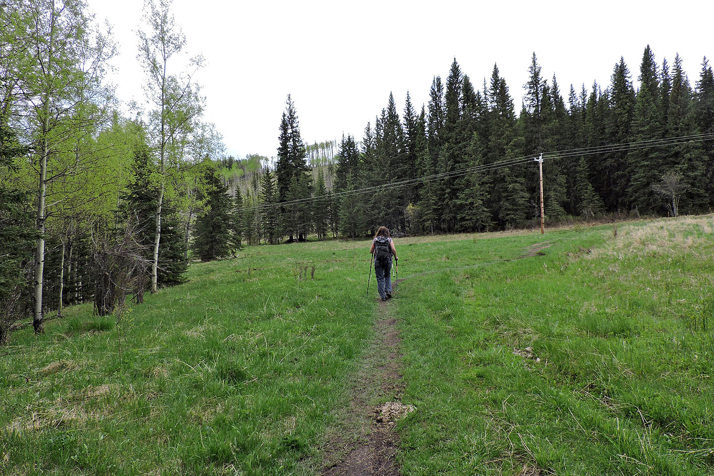
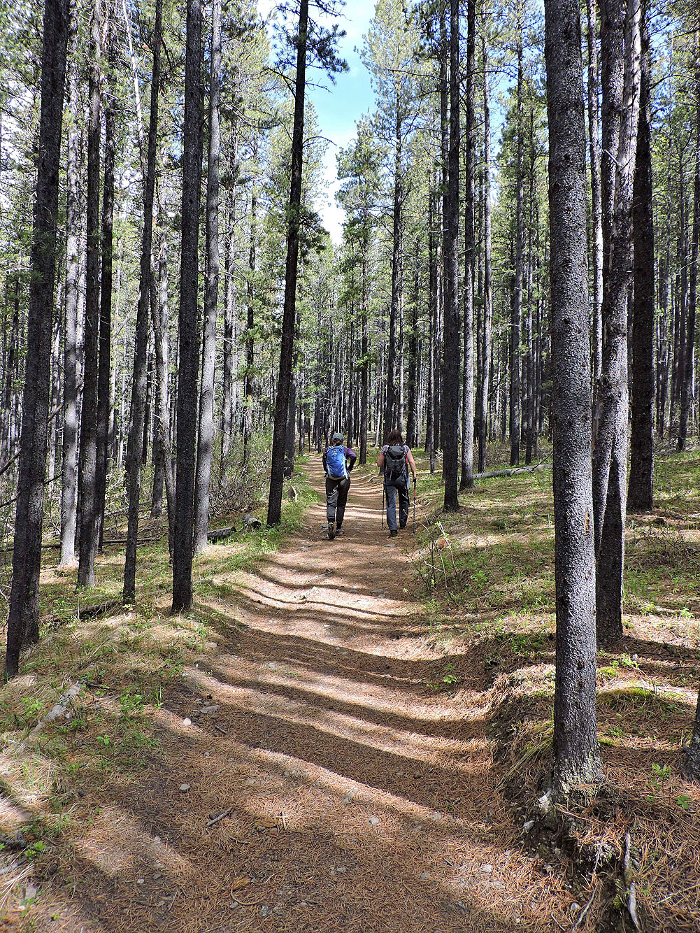
We're on Tom Snow, heading back to the trailhead. The trail was fairly dry, but Renata says she's biked this meadow when it was a swamp.
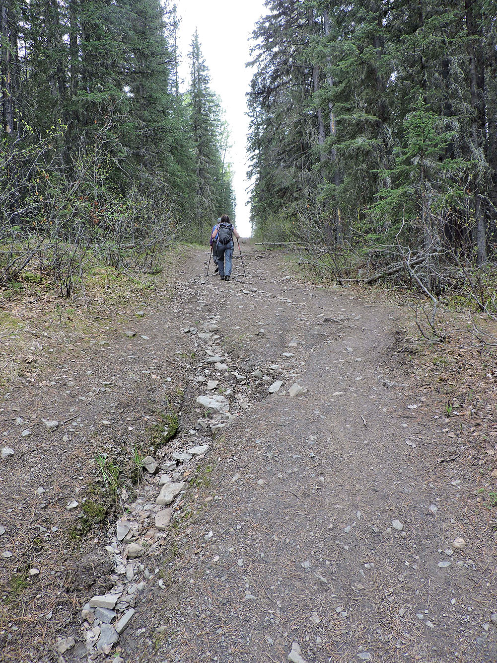
The trail includes a long ascent
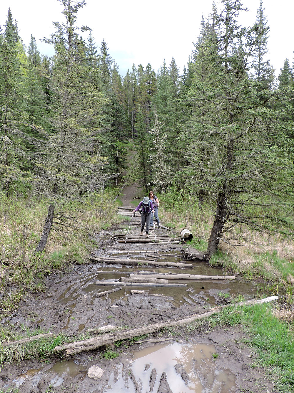
Before getting back on Diamond T, we crossed logs bridging a swamp
The last part of Diamond T is short and flat
82 J/15 Bragg Creek