bobspirko.ca | Home | Canada Trips | US Trips | Hiking | Snowshoeing | MAP | About
Beaverpelt Hill
Kananaskis, Alberta
December 30, 2025
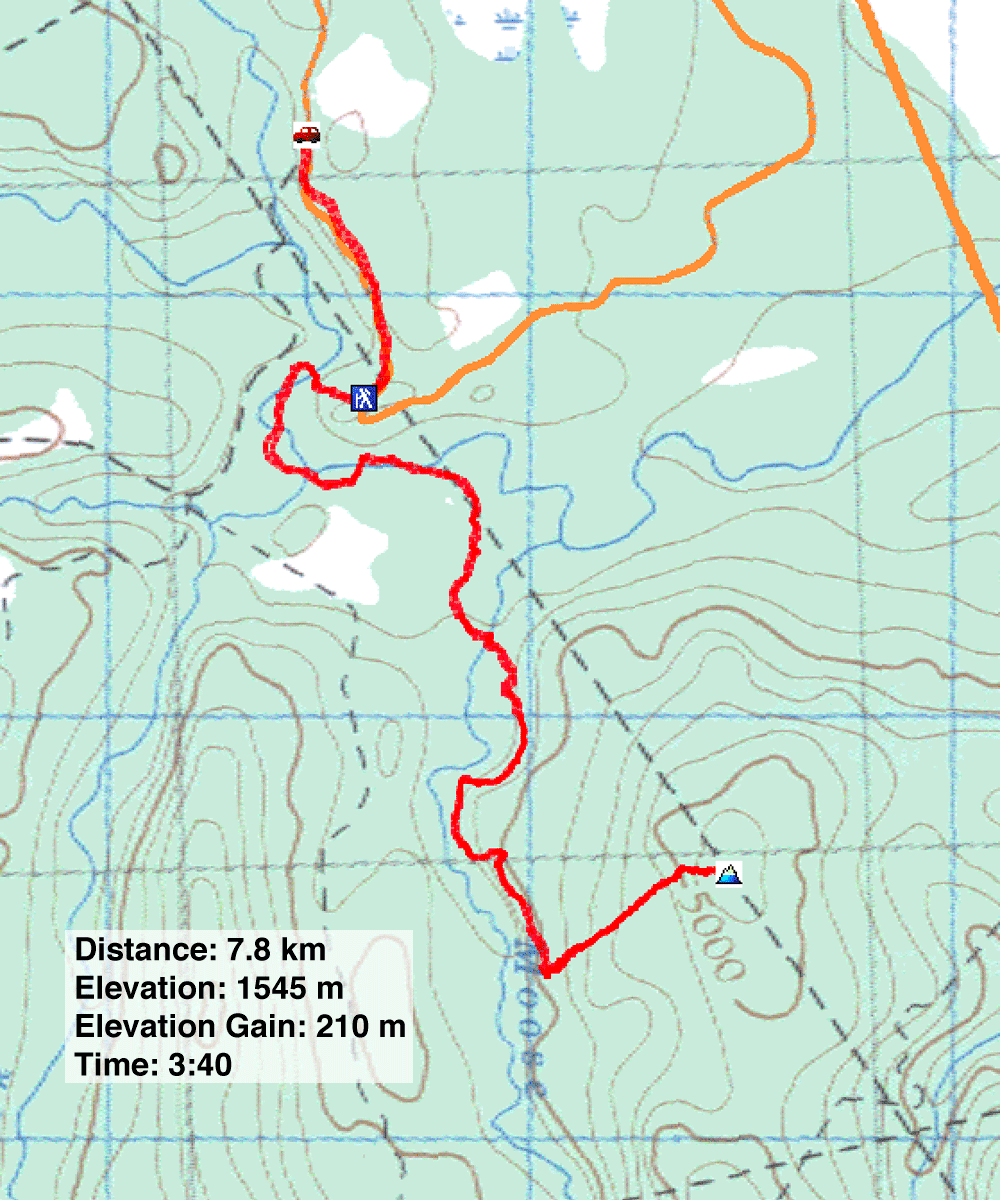
Distance: 7.8 km (4.8 mi)
Cumulative Elevation Gain: 233 m (764 ft)
For a short winter adventure, Zora, Dinah and I visited Beaverpelt Hill. Good trails lead to a cutline that reaches a half-bare hilltop. The route, using Moose Creek Loop and Tom Snow, is described in Kananaskis Trails.
The trailhead is on the Jumpingpound Demonstration Forest Road. Covered in snow, I worried about driving the road on all-season tires. Unlike the first section, the last 700 m to the trailhead wasn’t ploughed or sanded, but it was pounded down. Unfamiliar with the road and concerned with encountering a steep, icy hill, we walked it. As it turned out, it was a gentle grade we could’ve driven.
Starting at the south end of the parking lot, Moose Creek Loop dropped down to a long bridge spanning Jumpingpound Creek. We crossed the metal bridge and a few small wooden bridges before reaching the beginning of the loop. Either fork reaches Tom Snow, but it’s shorter to keep left. There were no tracks in the snow after this point, at least none that were human.
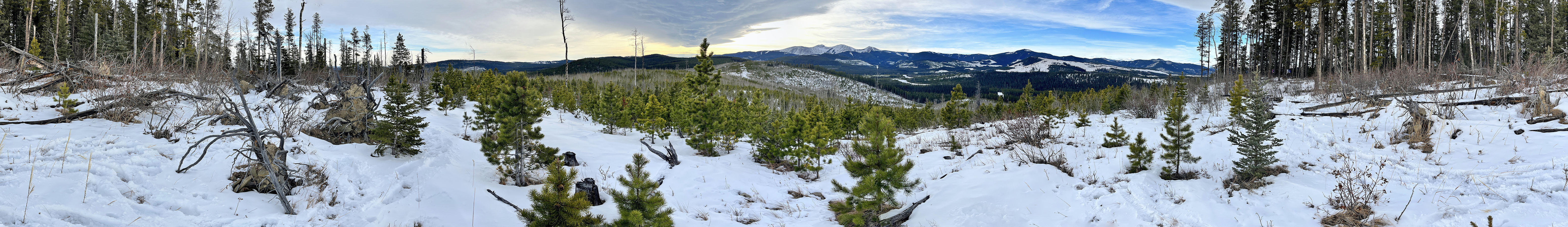
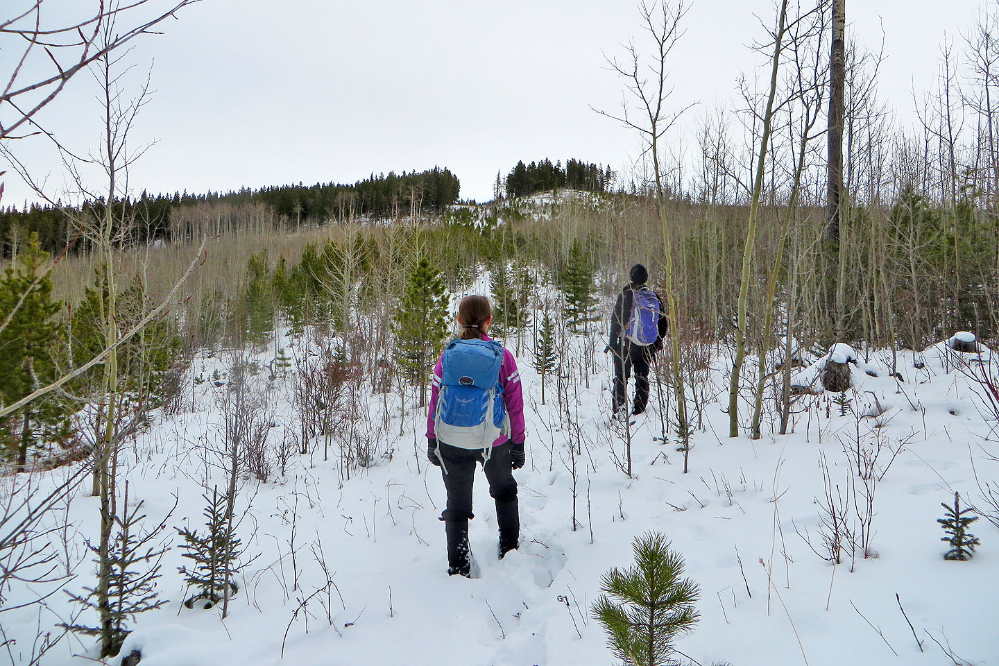
We soon turned left onto Tom Snow, crossed a bridge, and followed the trail up a slope where we caught views of nearby mountains. At a cutline, a gas pipeline right-of-way with warning signs, we left the trail. The slope was clear until we reached a rise. With Beaverpelt Hill now in sight, we hiked through new growth to the summit. A clearing on the south side rewarded us with panoramic vistas of Moose Mountain, Cox Hill and the Rockies framed under a Chinook Arch. After a short break, we retraced our steps back.
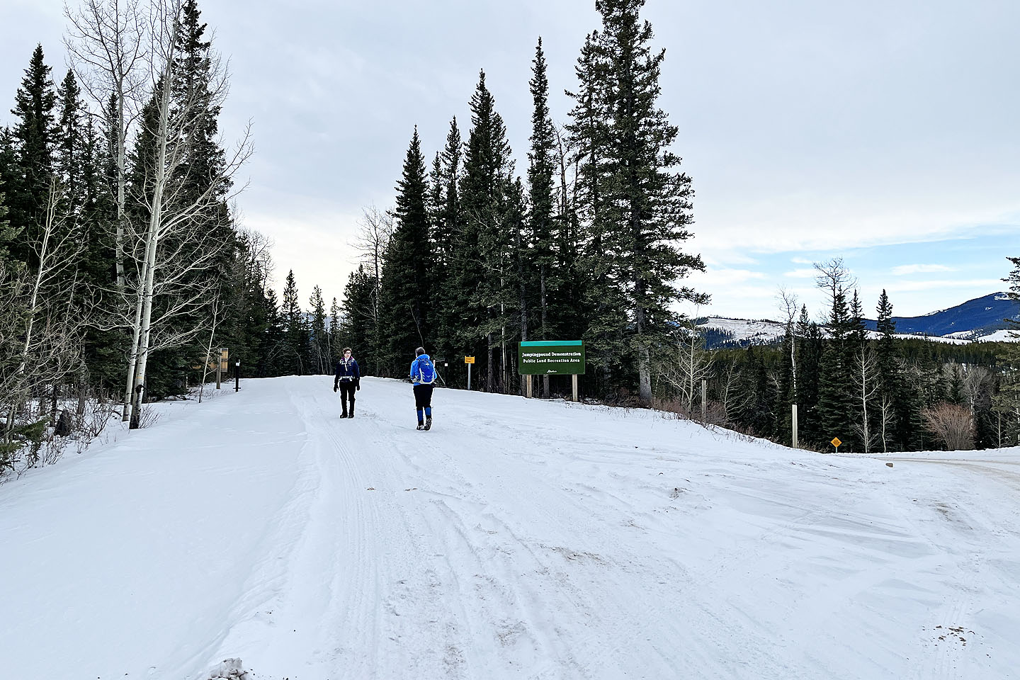 We parked at the fork in the road and walked 700 m to the parking lot
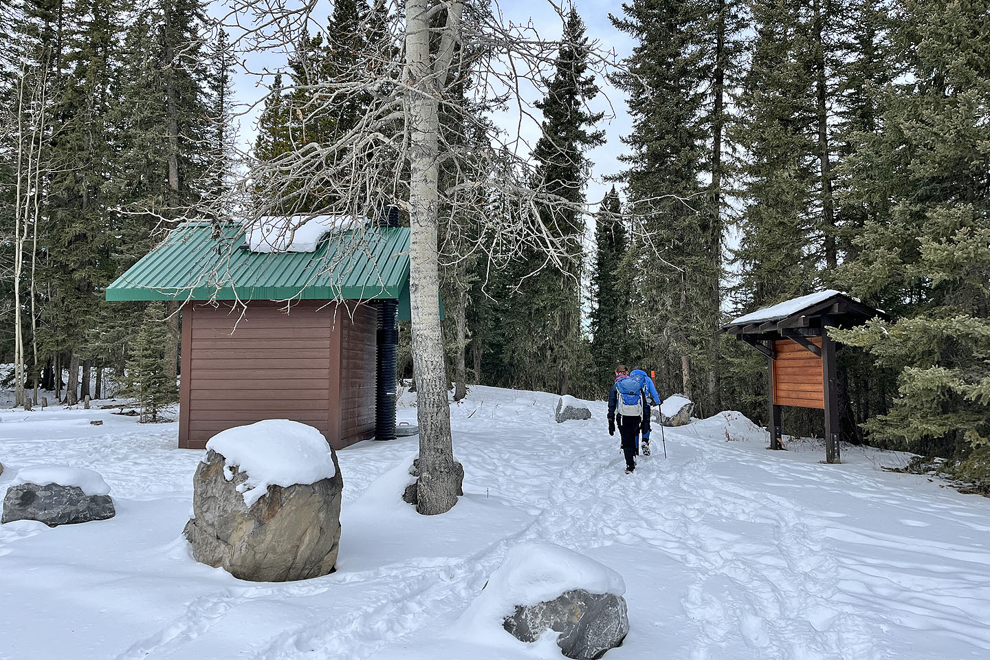 Starting on Moose Creek Loop from the parking lot
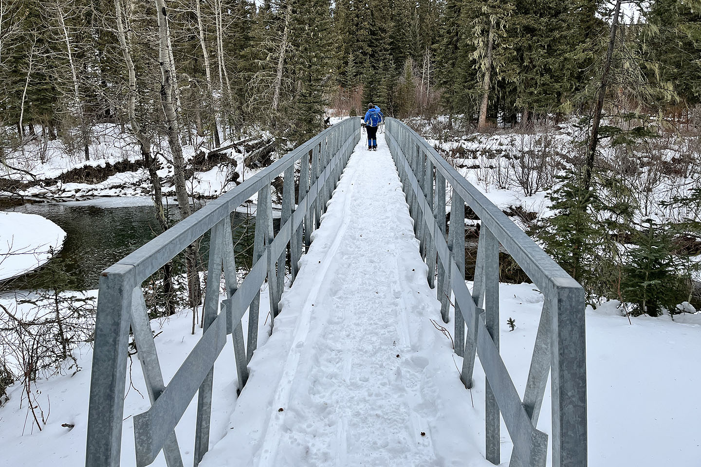 The trail drops down to a bridge over Jumpingpound Creek
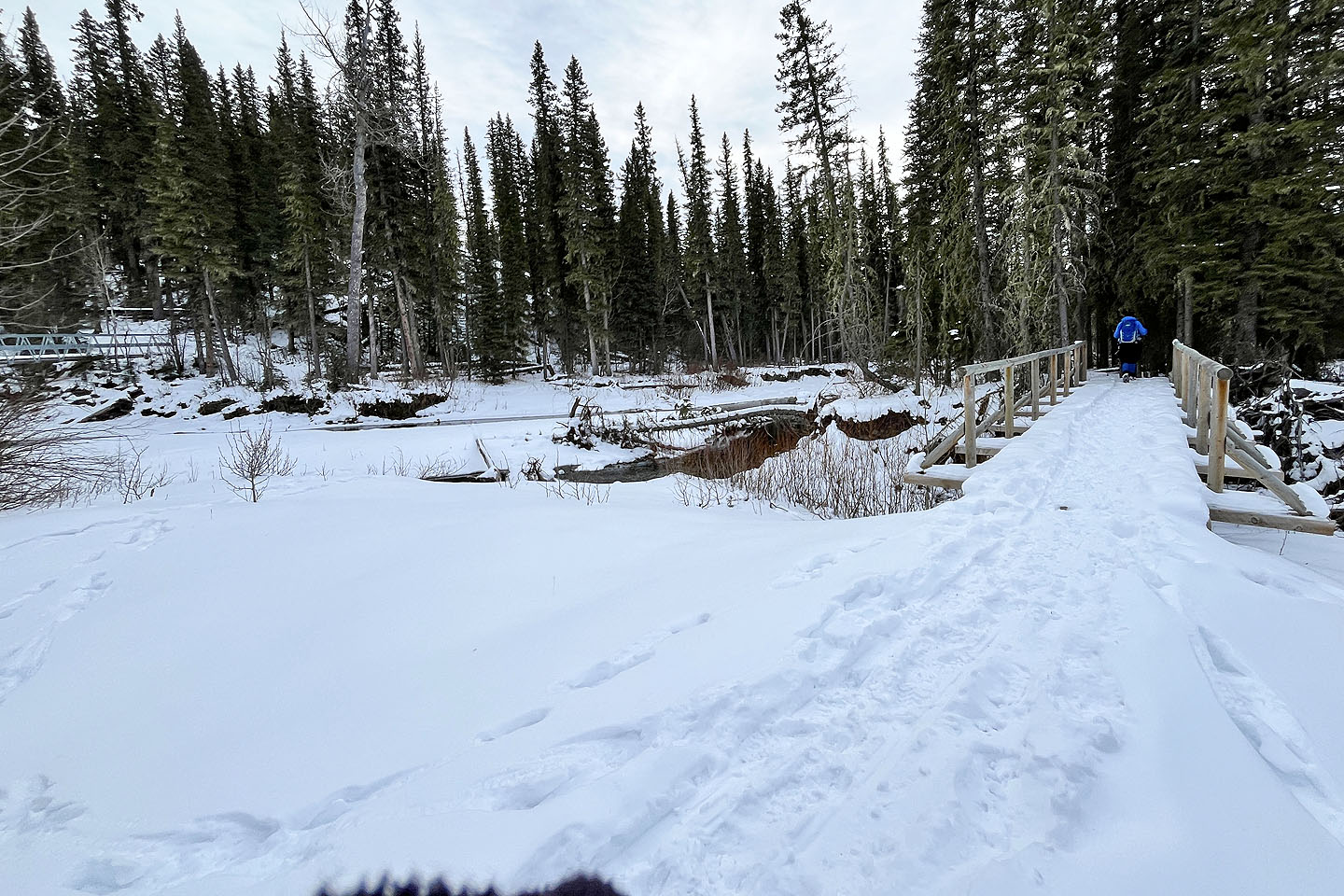 After the metal bridge (seen left), we crossed the first of a few wooden bridges
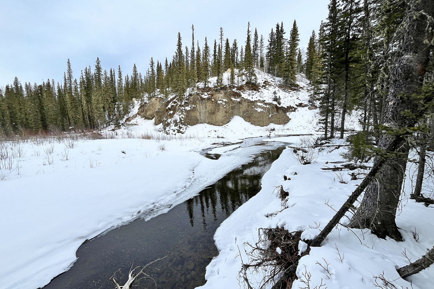 The trail runs by Jumpingpound Creek
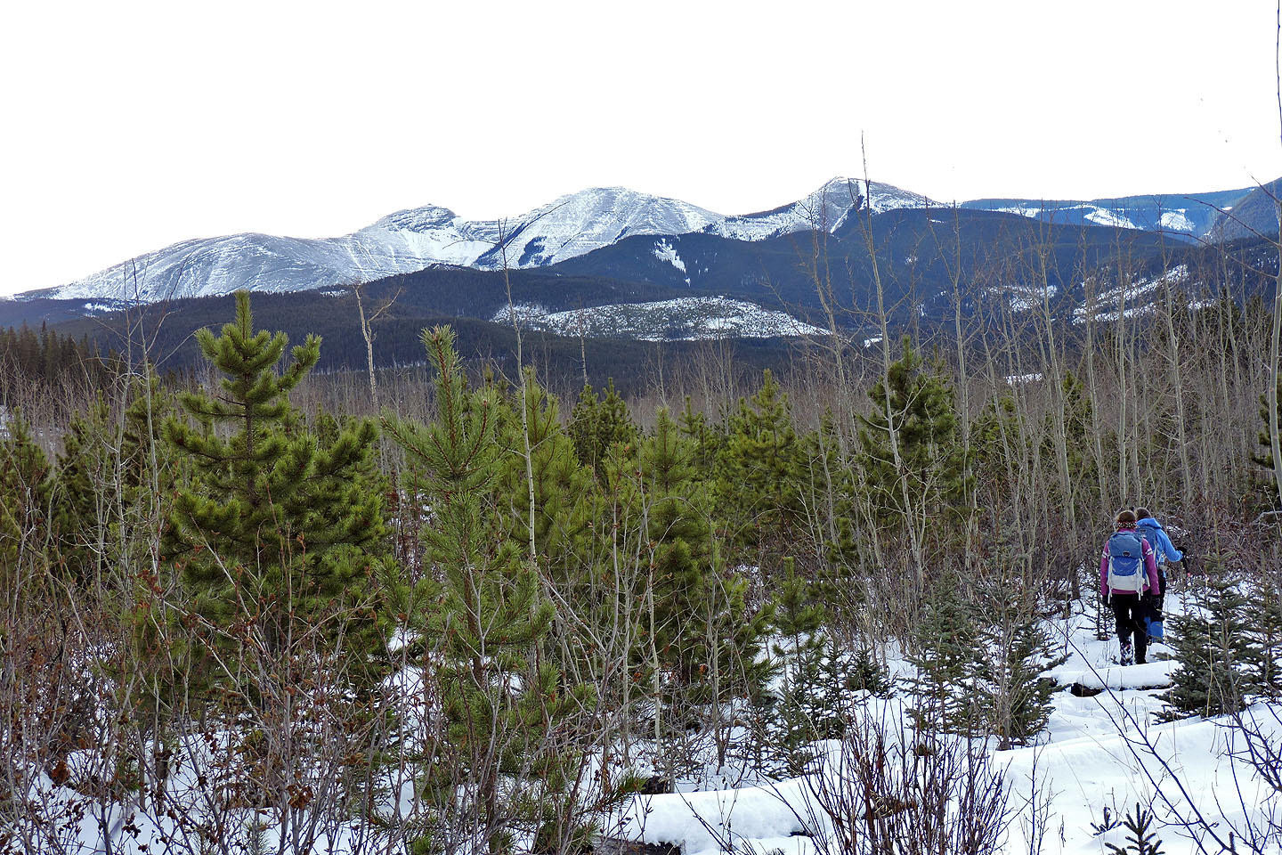
 Starting on the loop
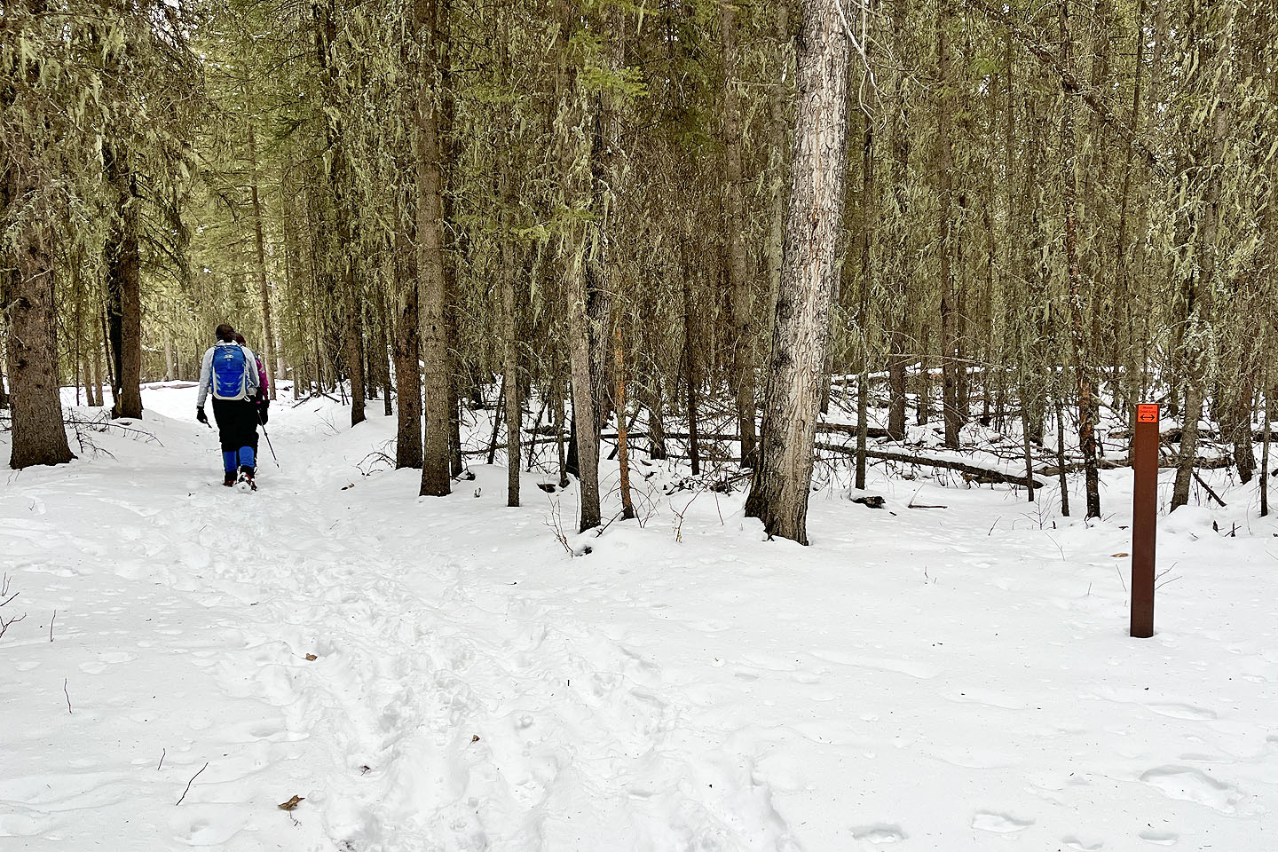
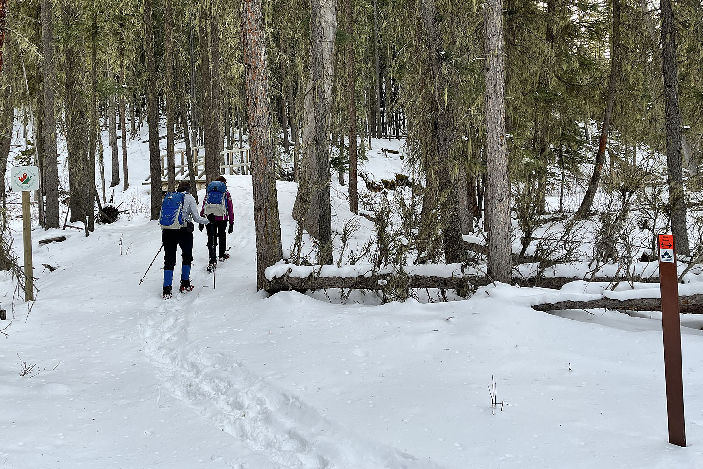
 A wooden post appears on the interpretive trail
 We turned onto Tom Snow where we crossed a bridge
 Ole Buck Mountain appears through the trees
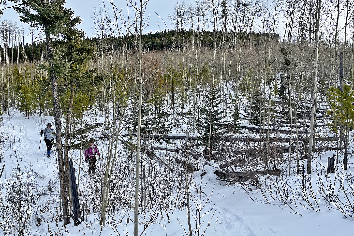 We passed a ravine that was strangely covered with fallen trees
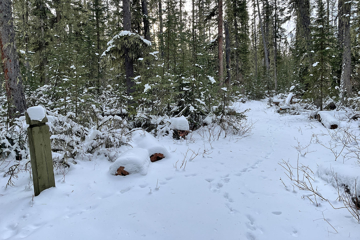
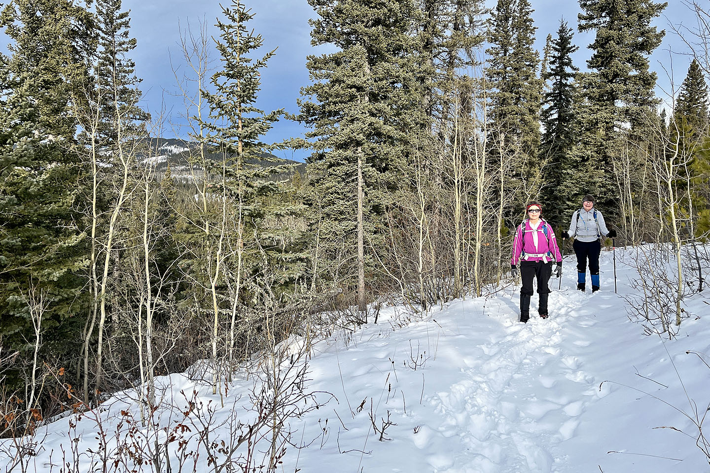
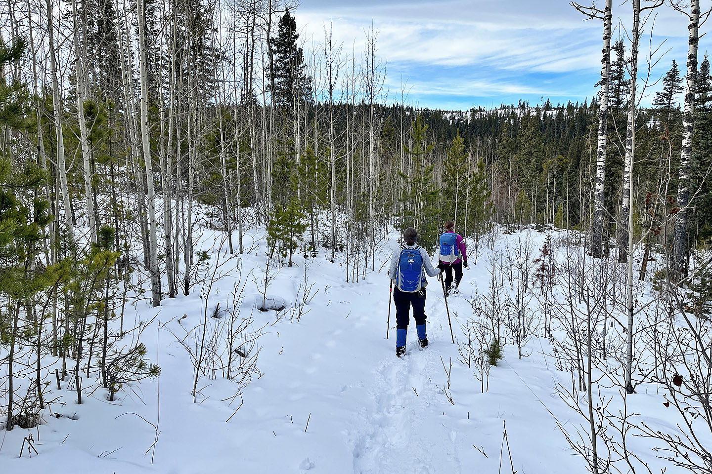 We continued along Tom Snow
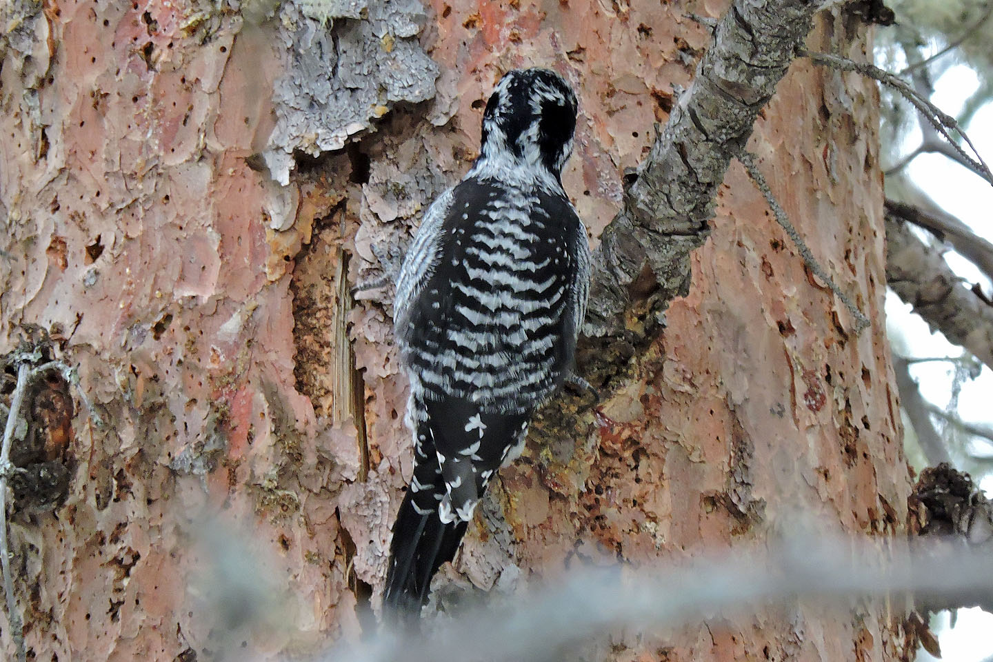 The rapping of an American three-toed woodpecker caught our attention
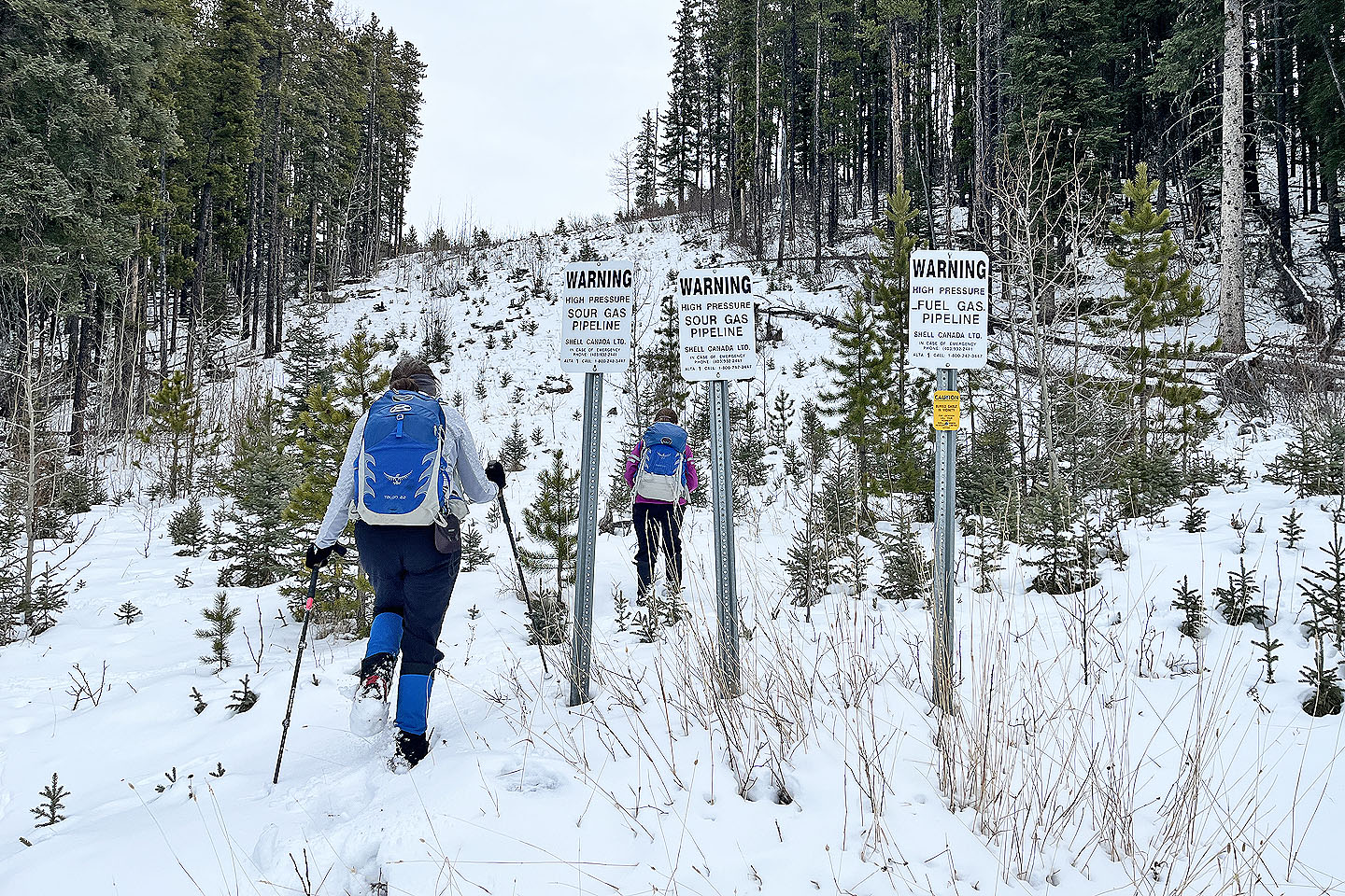 Starting up the pipeline right-of-way from the trail
 Looking back
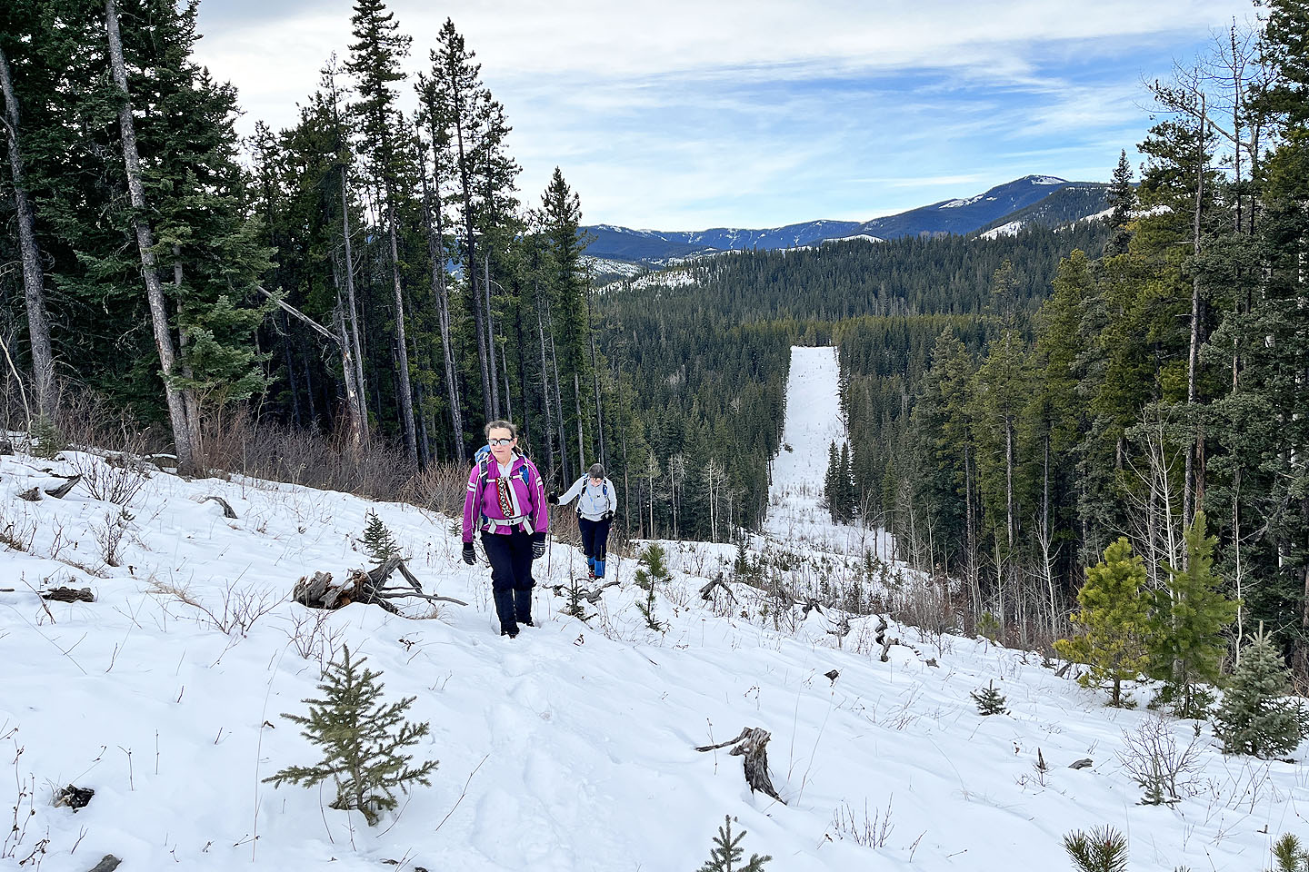
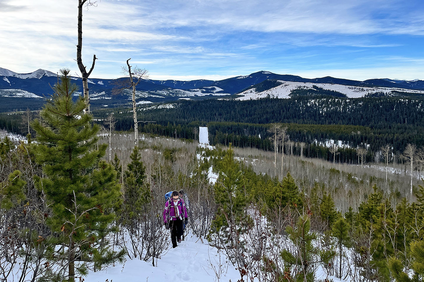
 Beaverpelt Hill appears ahead
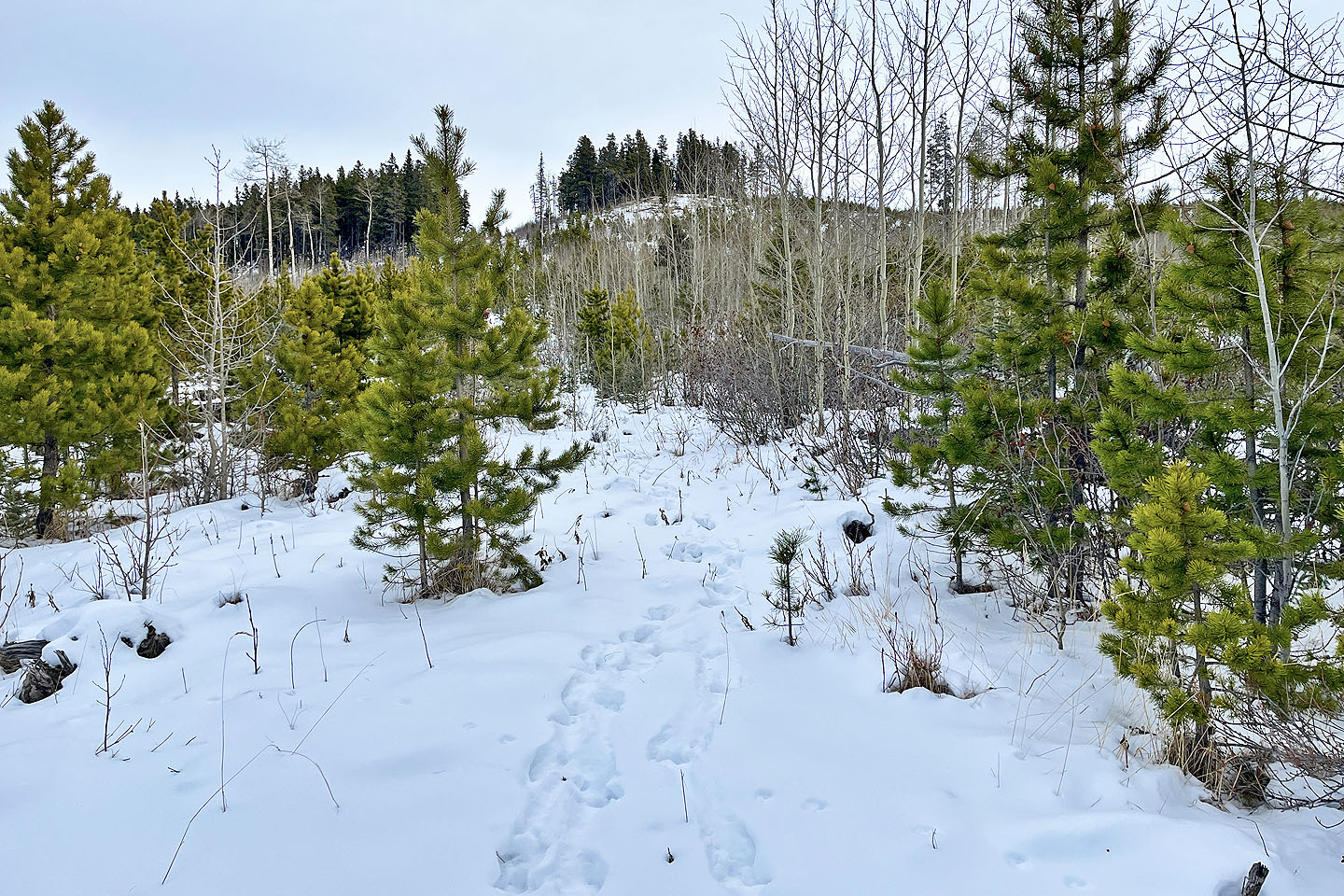 Looks like moose tracks
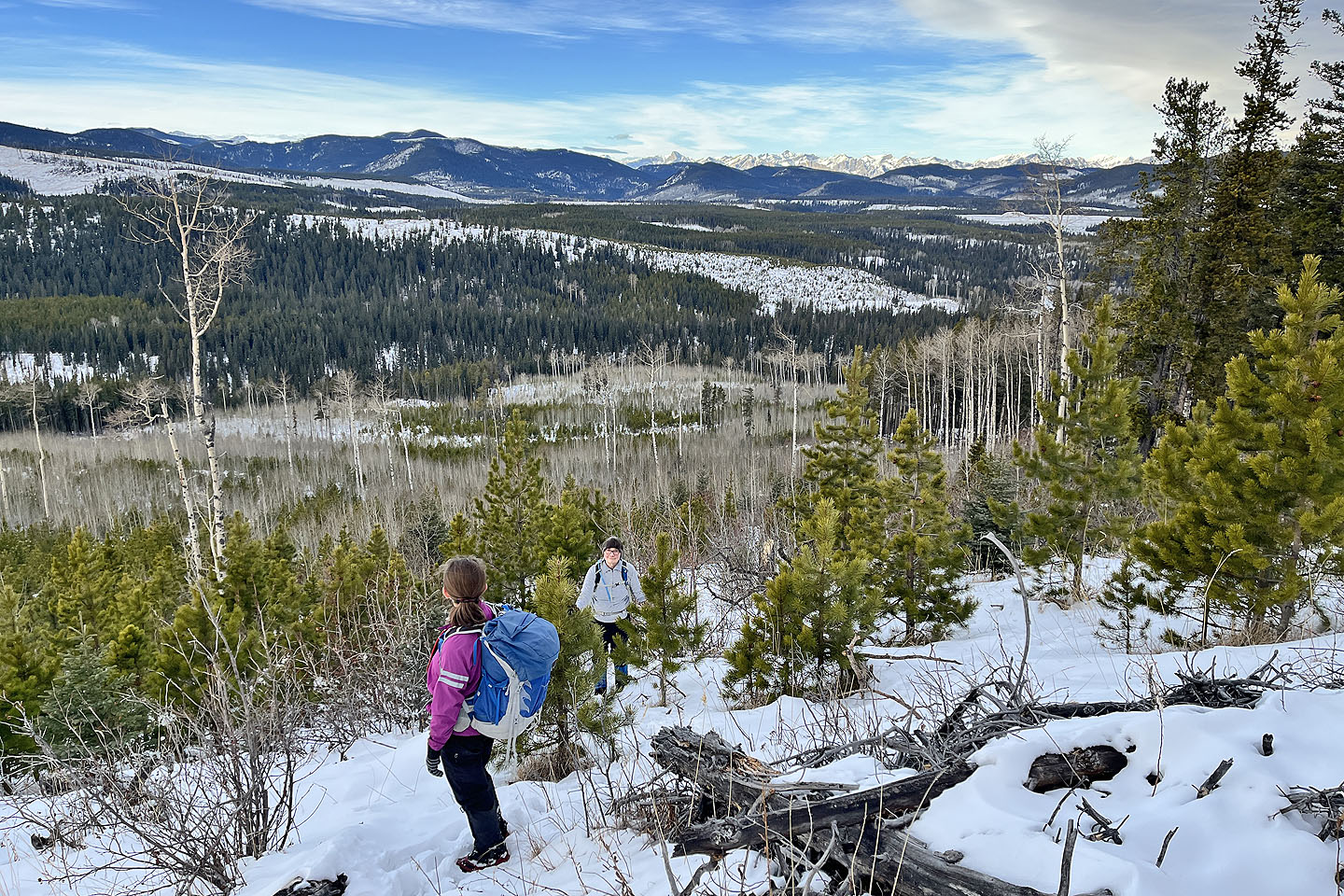
 Cox Hill appears behind
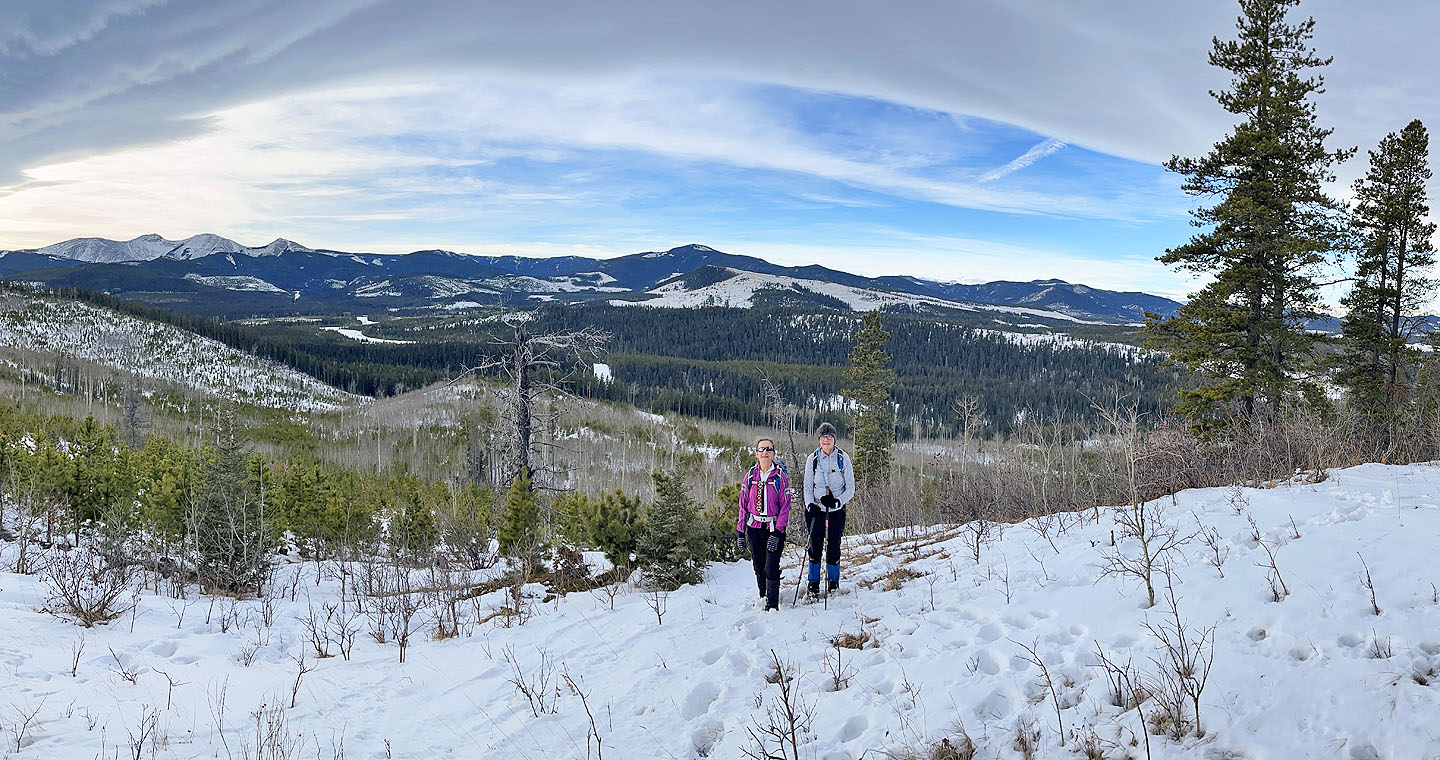
 As we approached the summit, we could see the Rockies in the distance (mouse over )
 We also appreciated seeing a Chinook Arch
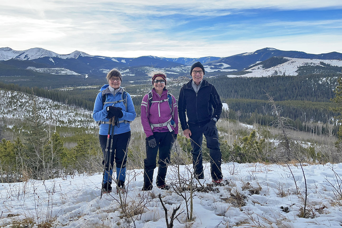 Standing on the top
 Heading down from the summit, Moose Mountain can be seen
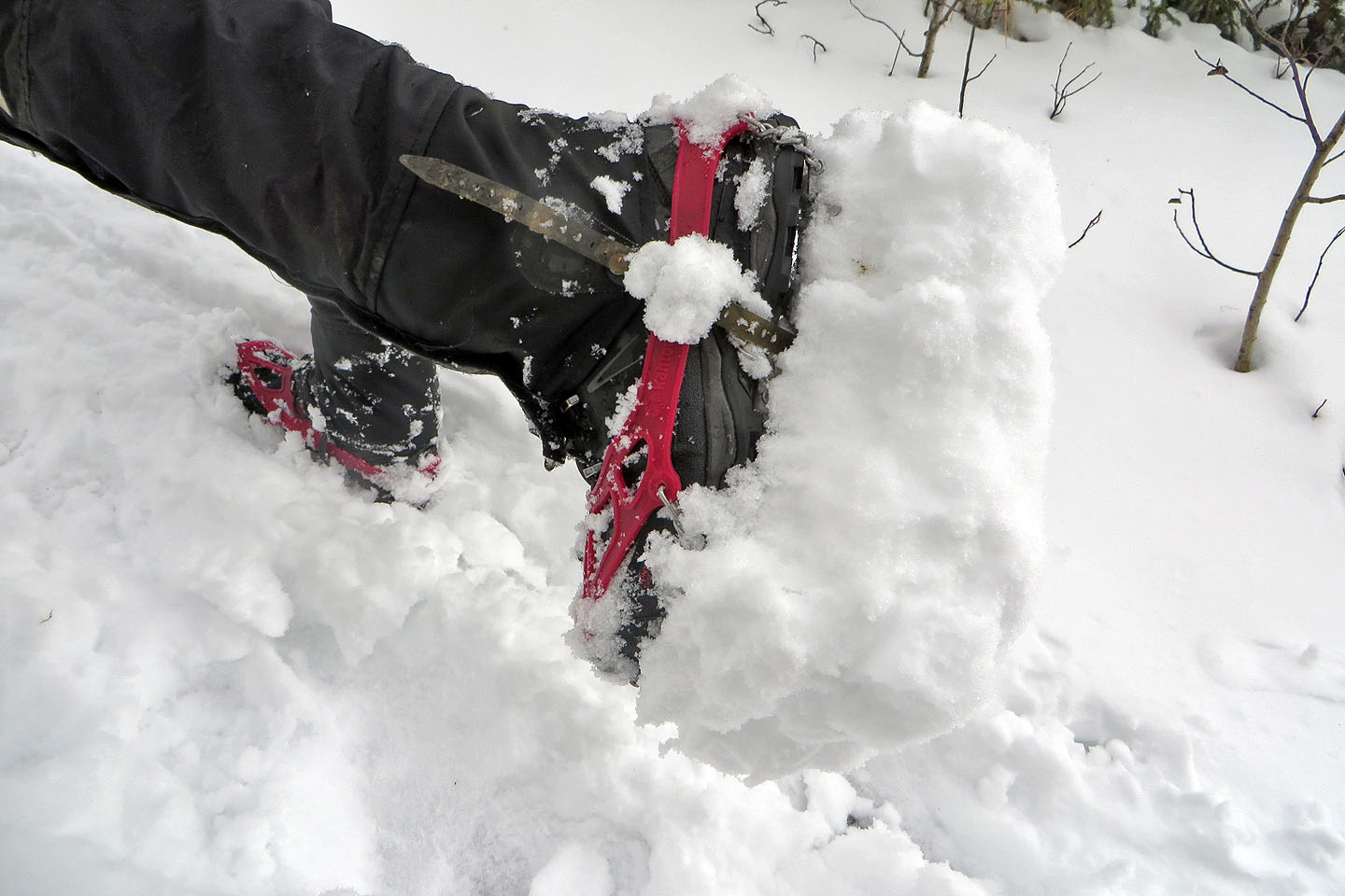 Rising temperatures created problems with the sticky snow
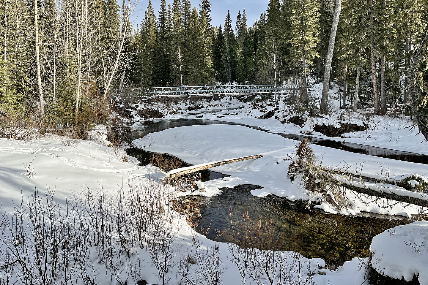 Back at the big bridge
82 O/2 Jumpingpound Creek