bobspirko.ca | Home | Canada Trips | US Trips | Hiking | Snowshoeing | MAP | About
Lost Knife Hill
Kananaskis, Alberta
April 30, 2026
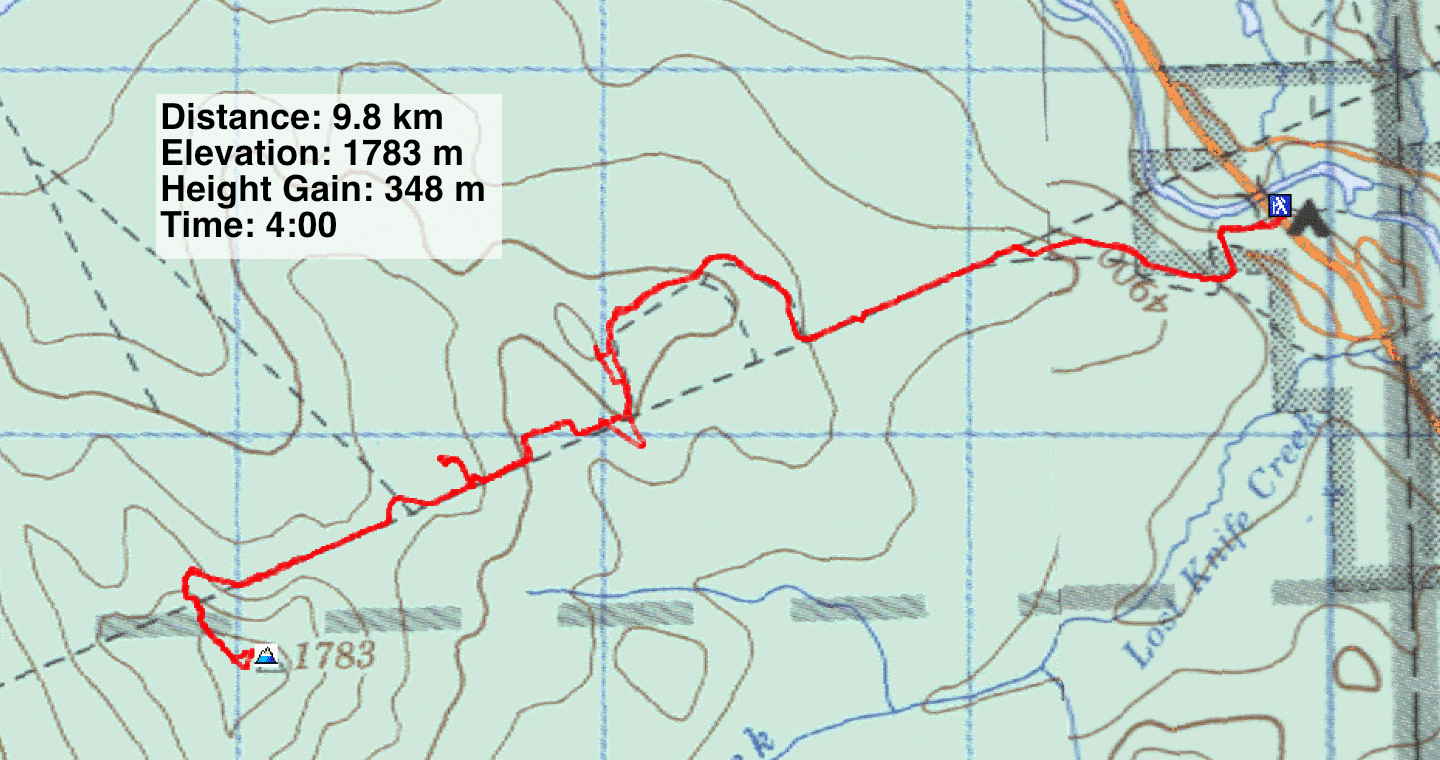
Distance: 4.3 km (2.7 mi)
Cumulative Elevation Gain: 136 m (446 ft)
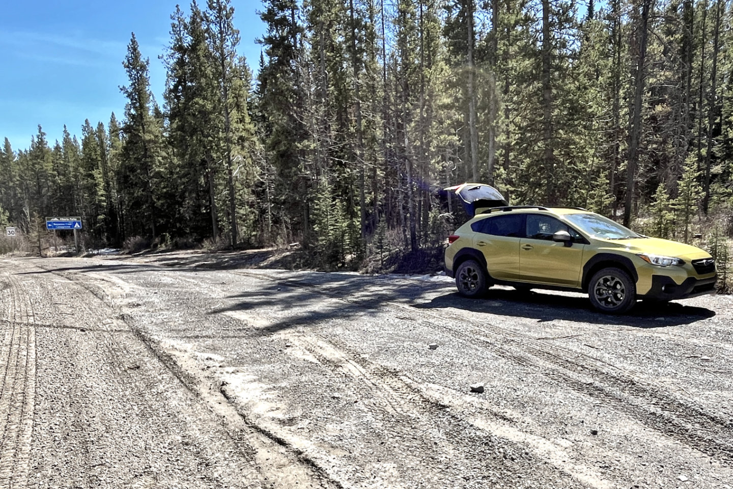 I parked at the entrance of Waiparous Creek Campground
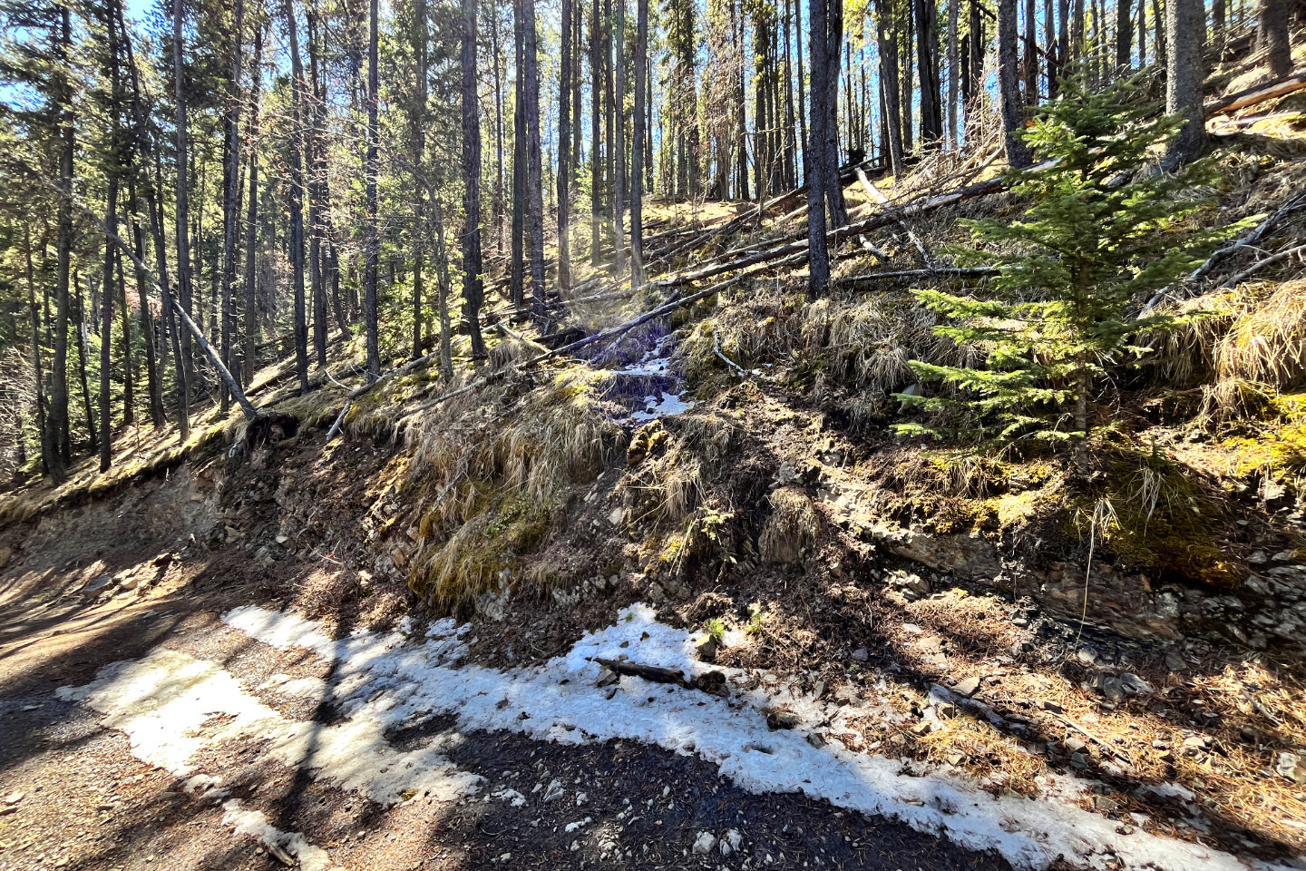
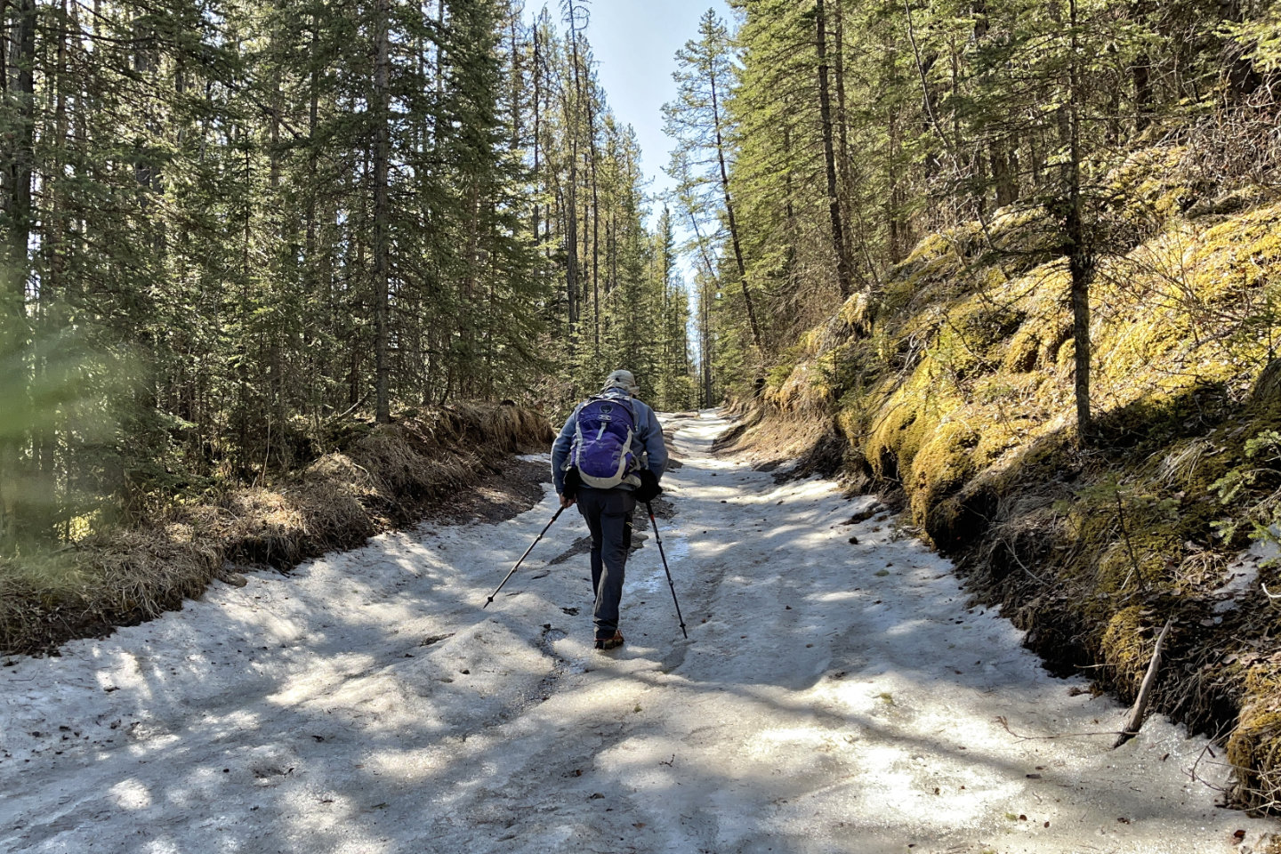 I wore icers for the first couple of hundred metres but didn't require them after that
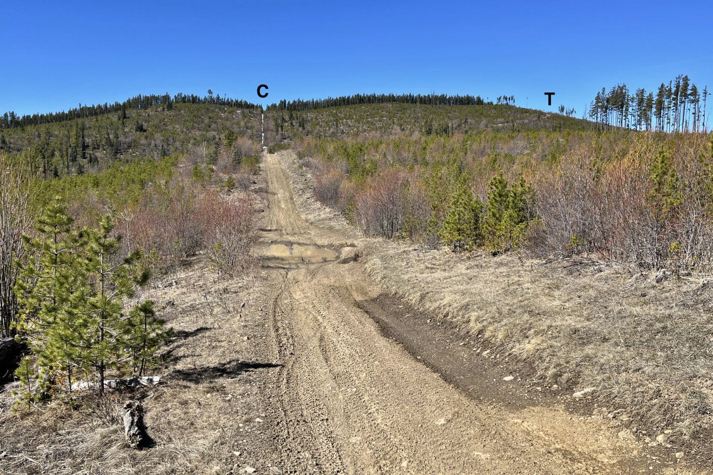 The Cutline continues straight ahead, but the Trail turns right
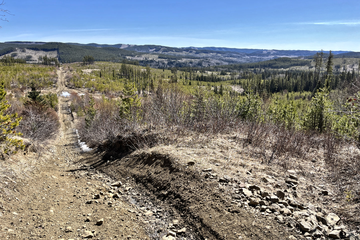 Looking back from the trail bend. Sand Ridge is on the left.
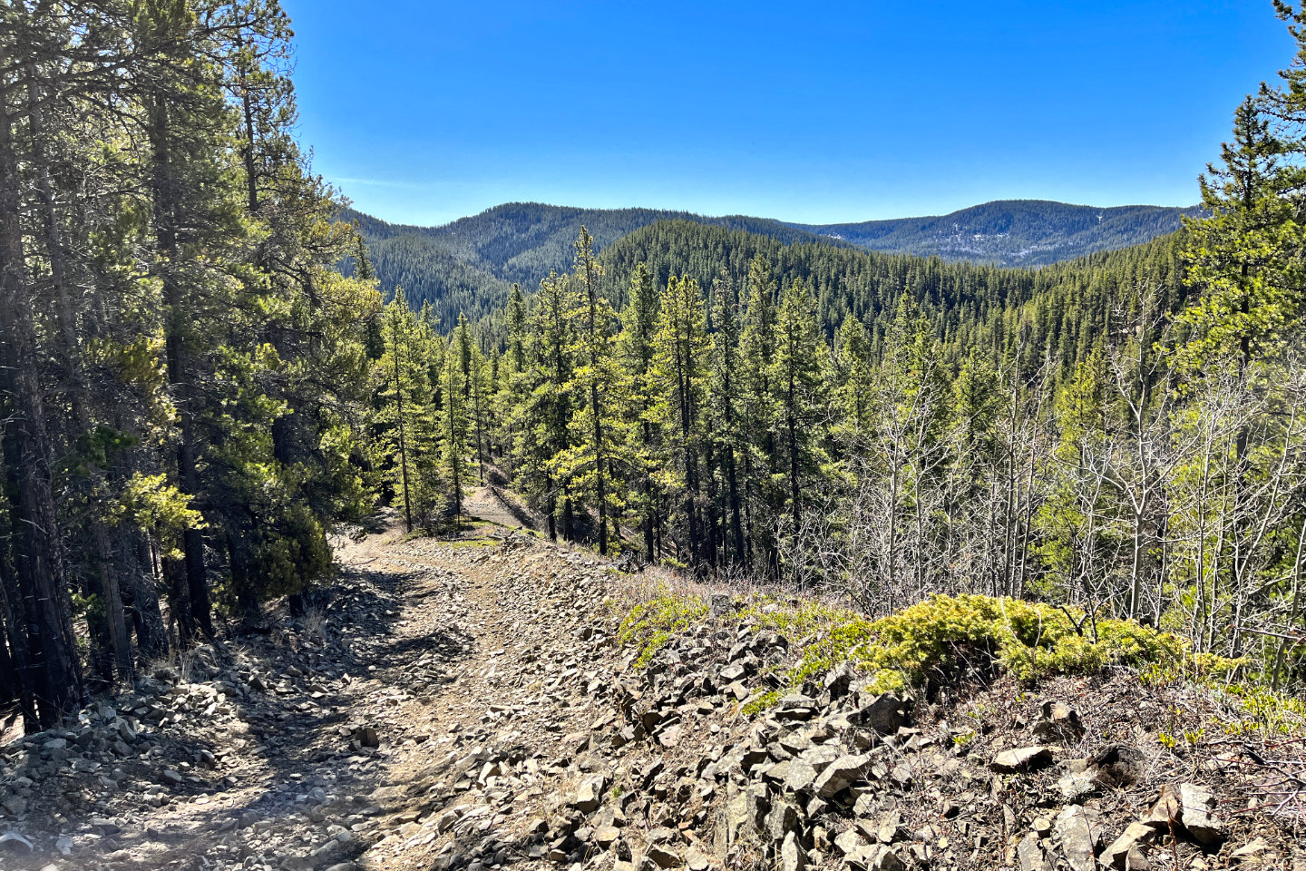
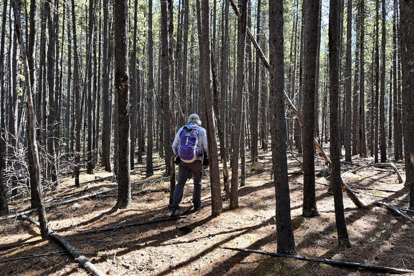
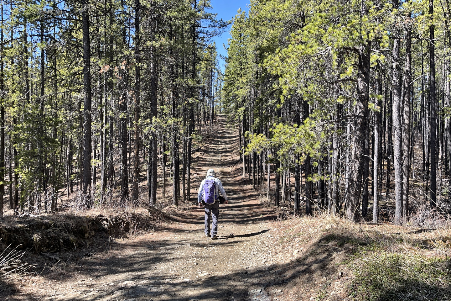 The trail continues in the trees
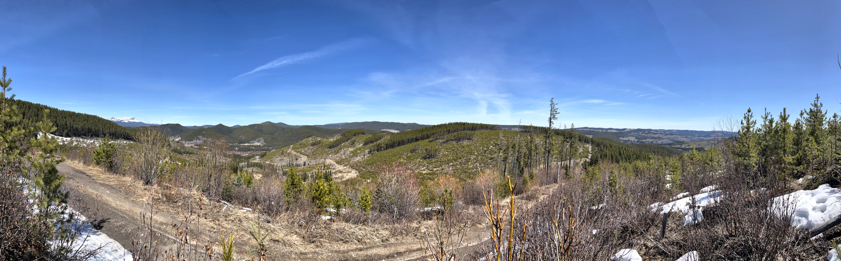
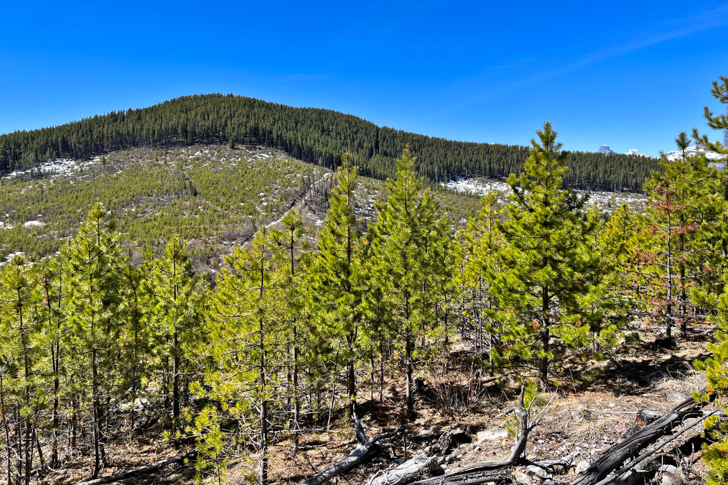
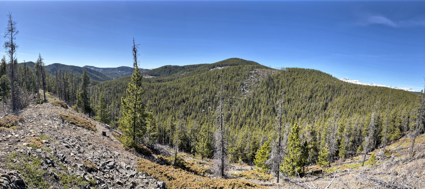 A short climb from the trail led to this vista. Lost Knife Hill is in the centre. The snow-capped peaks are Castle Rock, Mount Davidson, Sheep's Claw, Sheep Meadow Mountain and Ghost Peak. Far left, a ridge trail leads back to the road.
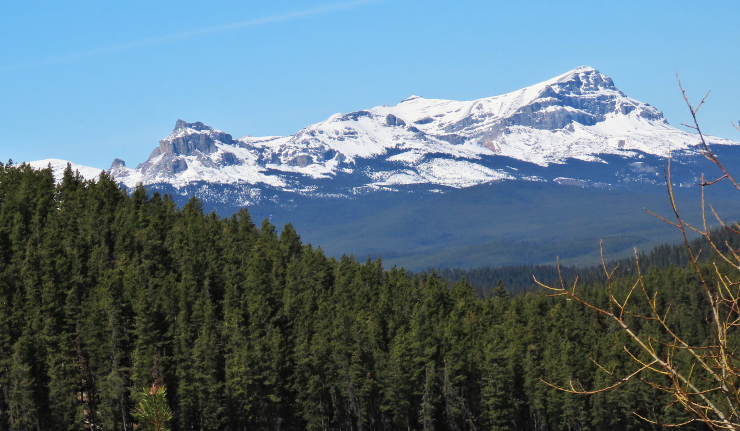
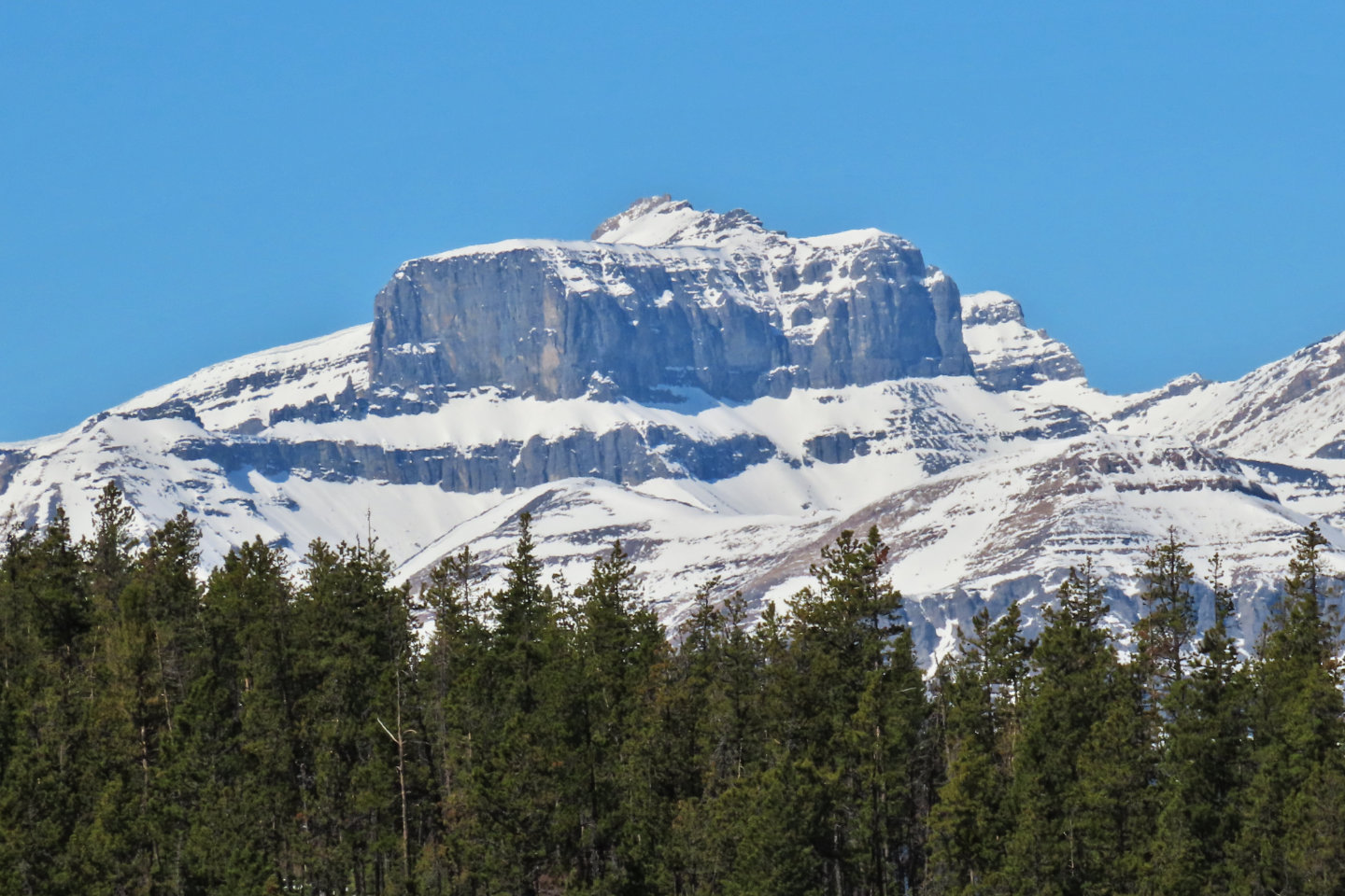 Castle Rock is 20 km away
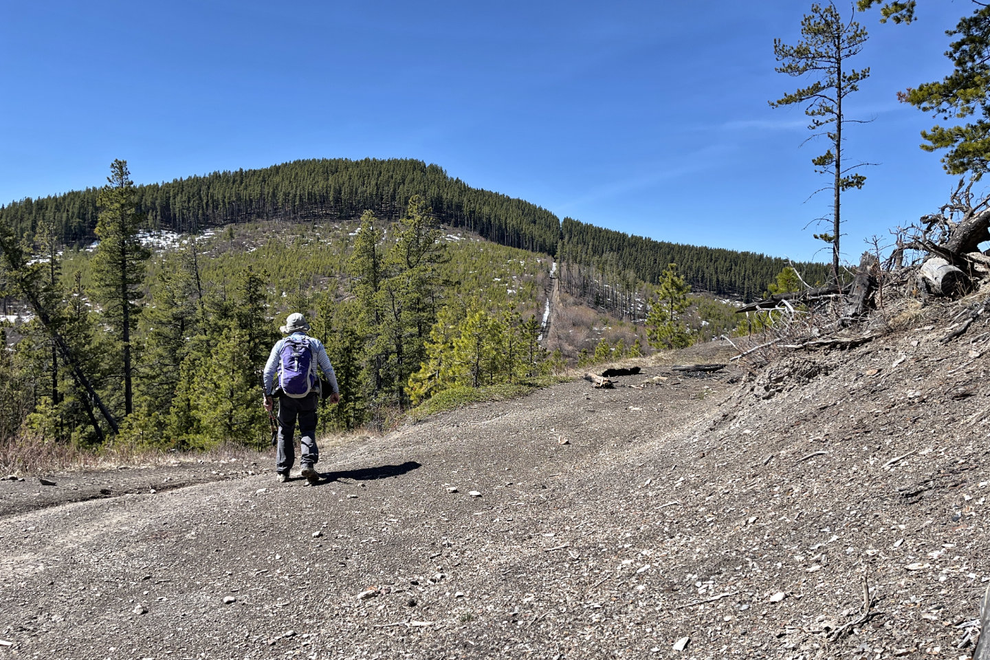
 The trail drops down 50 m
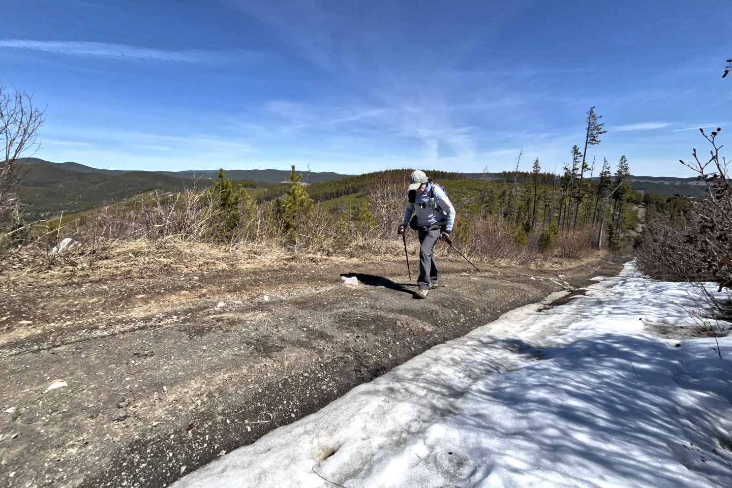
 I hiked to a viewpoint on the second hill, but it wasn't worth the time or effort
 A short drop precedes the summit
 Looking back before I entered the trees below the summit
 I had the best view here of Sheep's Claw, Sheep Meadow Mountain and Ghost Peak
 I left the road just below it's highest point
 I
I
I soon found a trail
 The last steps to the summit were rather pleasant
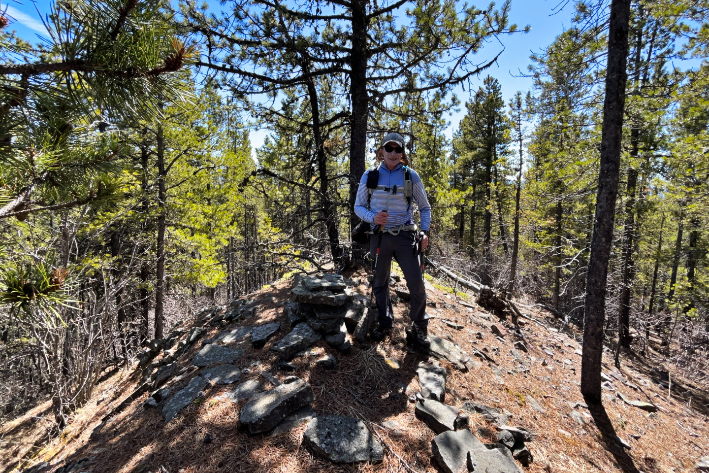 On the summit
 82 O/6 Lake Minnewanka, 82 O/7 Wildcat Hills