bobspirko.ca | Home | Canada Trips | US Trips | Hiking | Snowshoeing | MAP | About
Silverton Falls
Banff, Alberta
September 27, 2020
Distance: 2.3 km (1.4 mi)
Cumulative Elevation Gain: 82 m (268 ft)
We had plans to do a hike on Highway 1A only to discover the road was close due to Covid-19. Unfortunately we had no backup plan. So Dinah and I parked at parking at the campground, and started up the trail for Rockbound Lake. We decided to see Silverton Falls. The entire hike is only 2.3 km with 80 m elevation gain. It's worth the slight effort, but it's not likely sometime one would consider en route to the lake or to the peaks above the lake, like Helena Ridge. Anyone going to the lake and beyond would be underwhelmed. It wasn't even enough exercise for us, so we hiked partway to the lake before turning around.
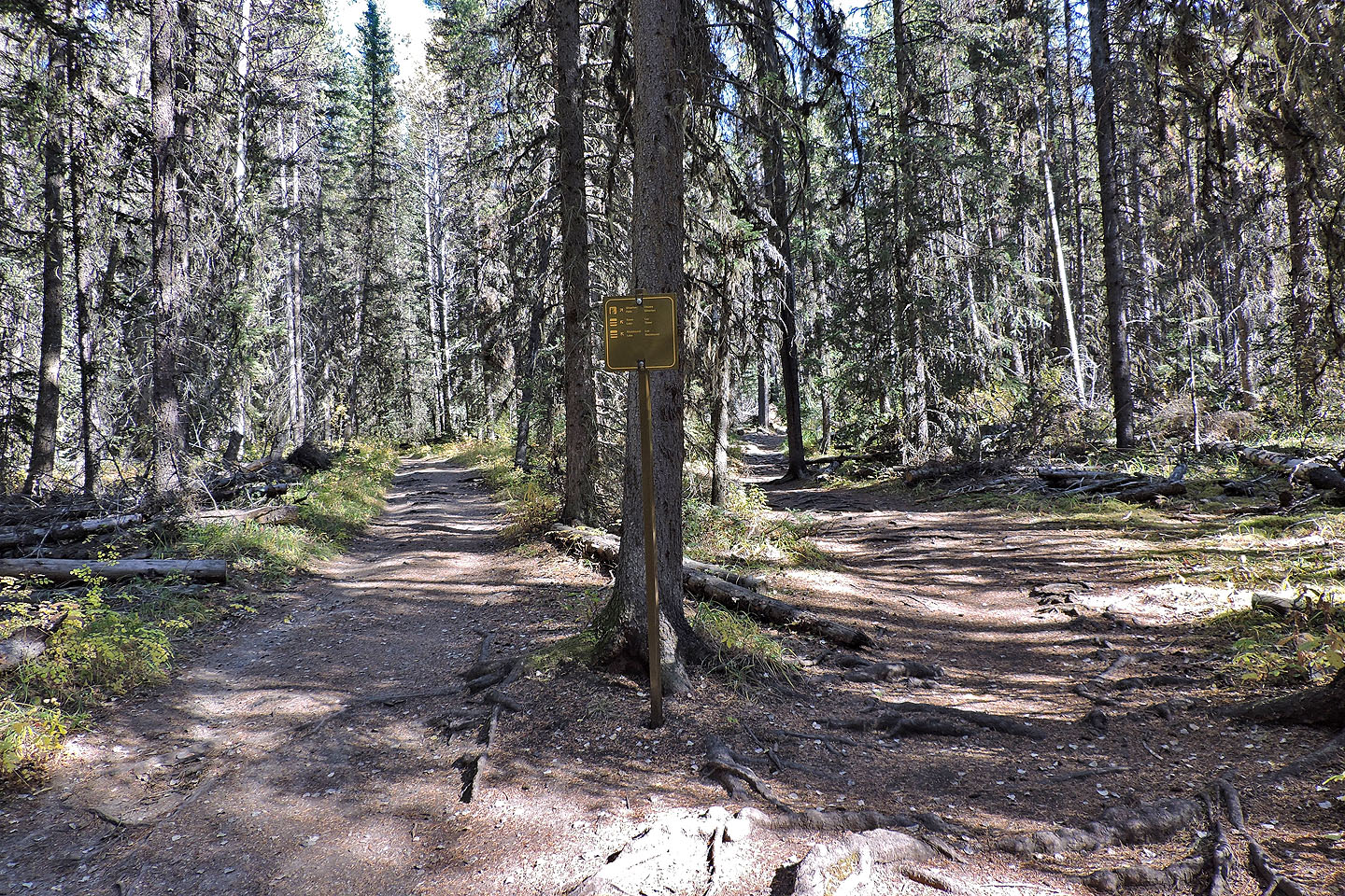
The side trail for Silverton Falls
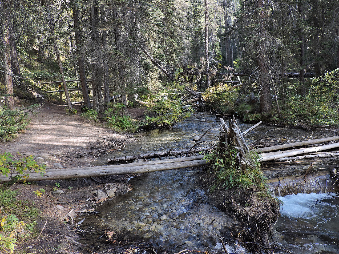
After following the creek, the trail turns here and starts climbing
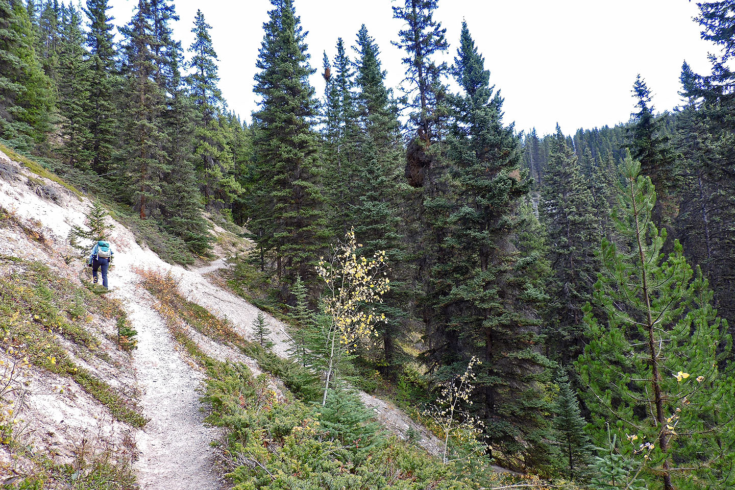
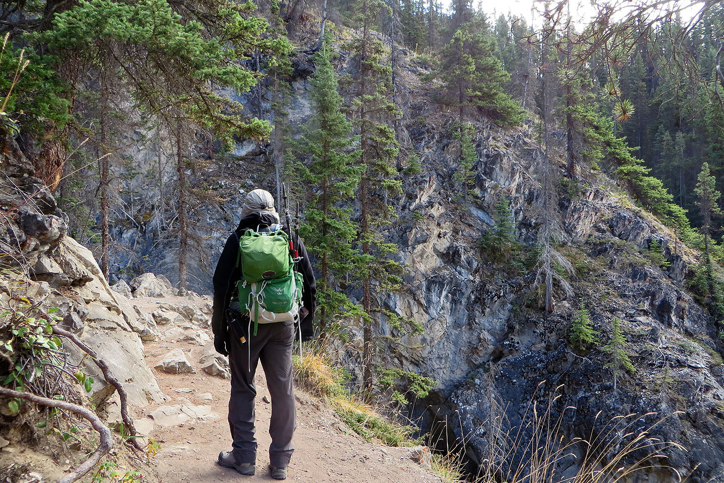
Following the trail to the falls
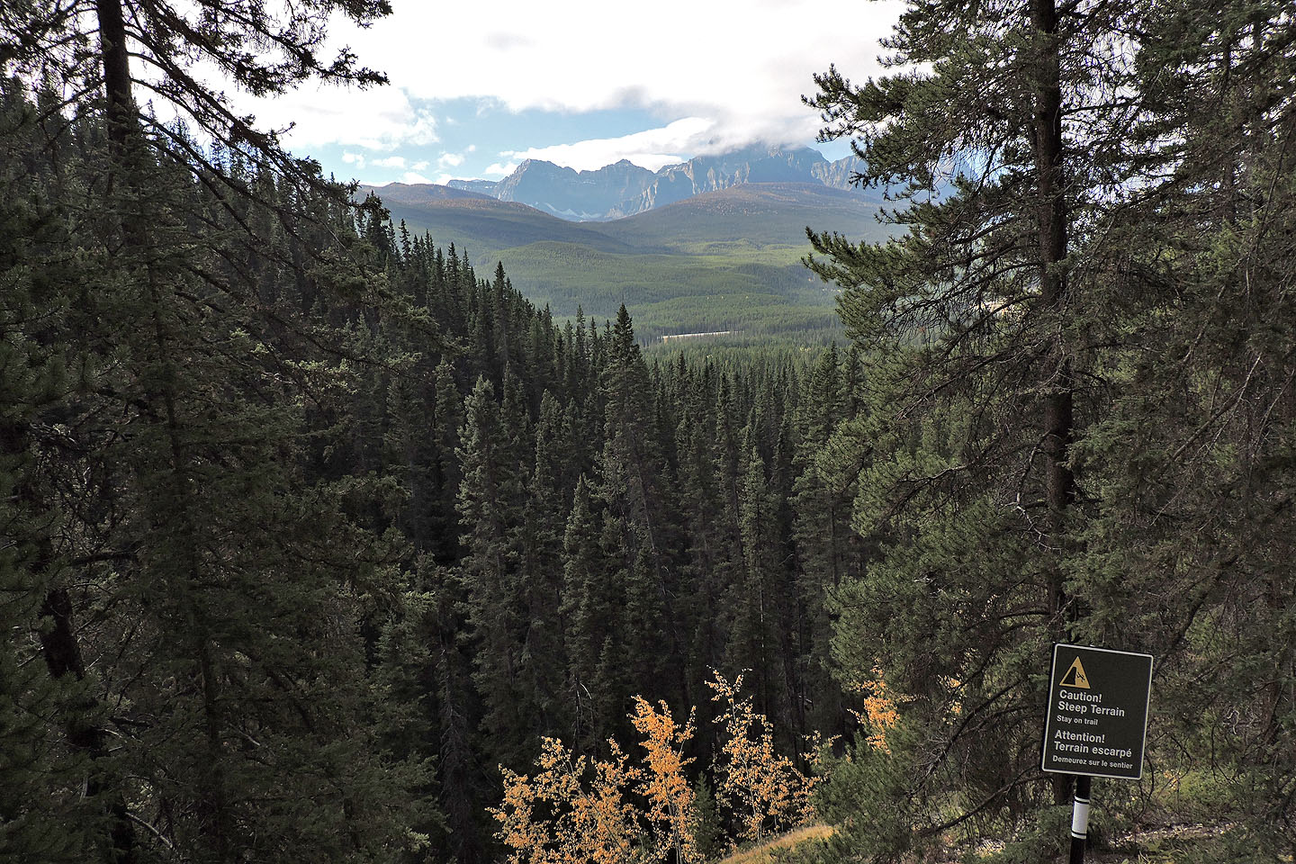
A view to the mountains south
The falls are around the corner
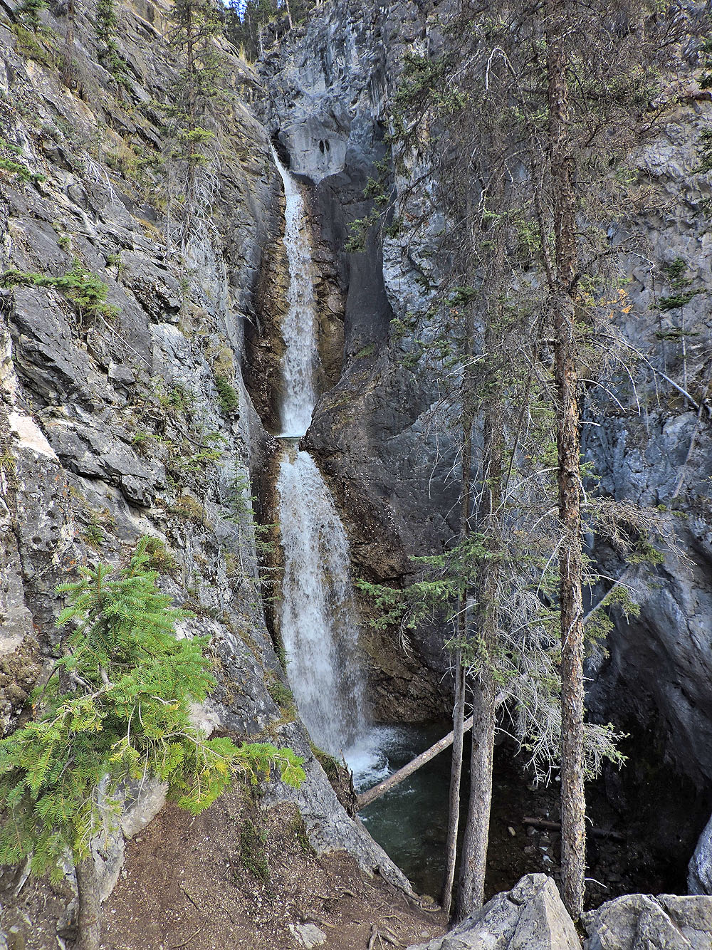
Silverton Falls