bobspirko.ca | Home | Canada Trips | US Trips | Hiking | Snowshoeing | MAP | About
Whiskey Jack Hill
Cranbrook, B.C.
June 17, 2025
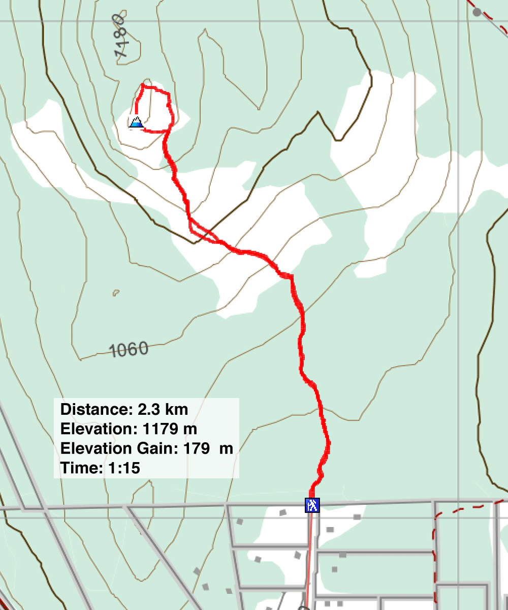
Distance: 2.3 km (1.4 mi)
Cumulative Elevation Gain: 179 m (587 ft)
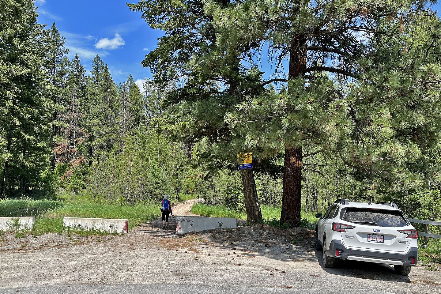
On our way to Castlegar from Calgary, Dinah and I paused west of Cranbrook to take a break. We intended to hike up a hill known as New Lake Viewpoint on Alltrails. However, after parking, a large utility truck arrived, and a firefighter emerged. He informed us they were heading to control a wildfire near the hill, which they discovered that morning. Consequently, we changed our plans and drove to Whisky Jack Hill, a short hike conveniently located just a few minutes away.
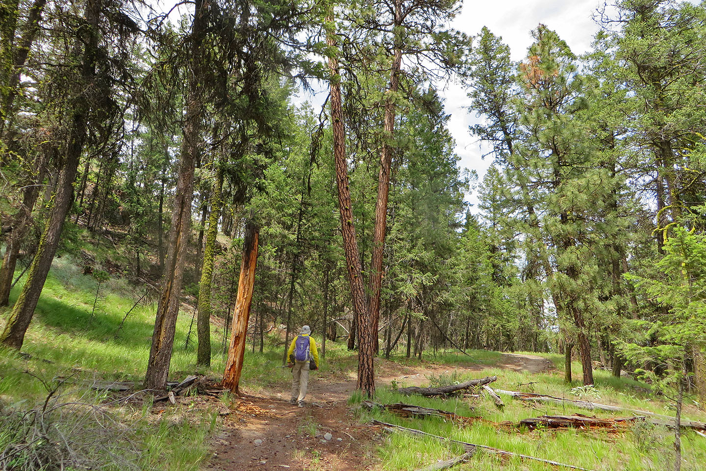
We parked at the edge of a neighbourhood and began ascending an old road. It meanders through a sparse forest, making liitle effort to gain elevation until it reaches a grassy slope. Here, the loose rocks on the steep road were slippery, but a short path on the left bypasses this section..
Once the road returns to the trees, a path appears on the left. Both the path and the road lead to the summit, forming a short loop. We continued up the road to the ridge, where a trail runs over the summit back to the road.
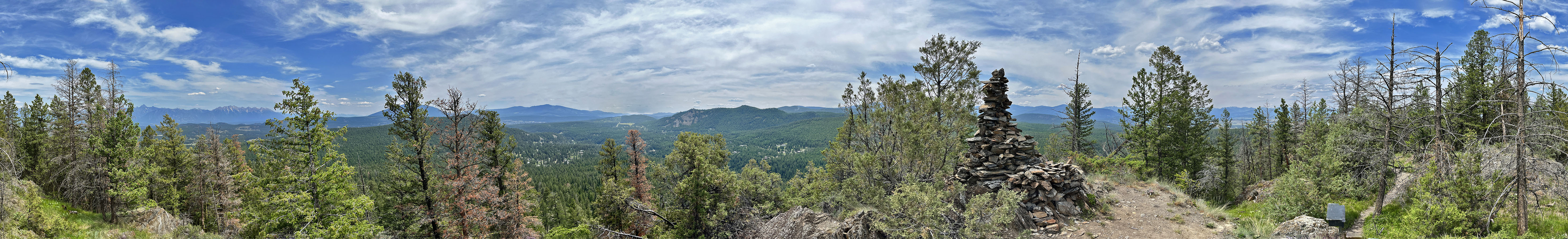
Whisky Jack Hill features one of the largest cairns we’ve seen. There’s also a wobbly wooden bench for resting. Looking west, we observed smoke rising from the forest below New Lake Viewpoint. After a short stay, we followed the path back to the road, returned to our vehicle and continued to Castlegar.
 Starting from the trailhead
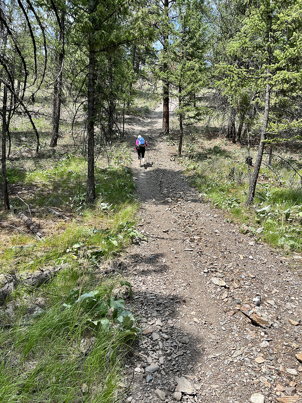
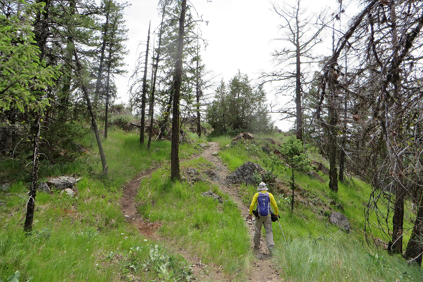
 The trail winds through a thin forest
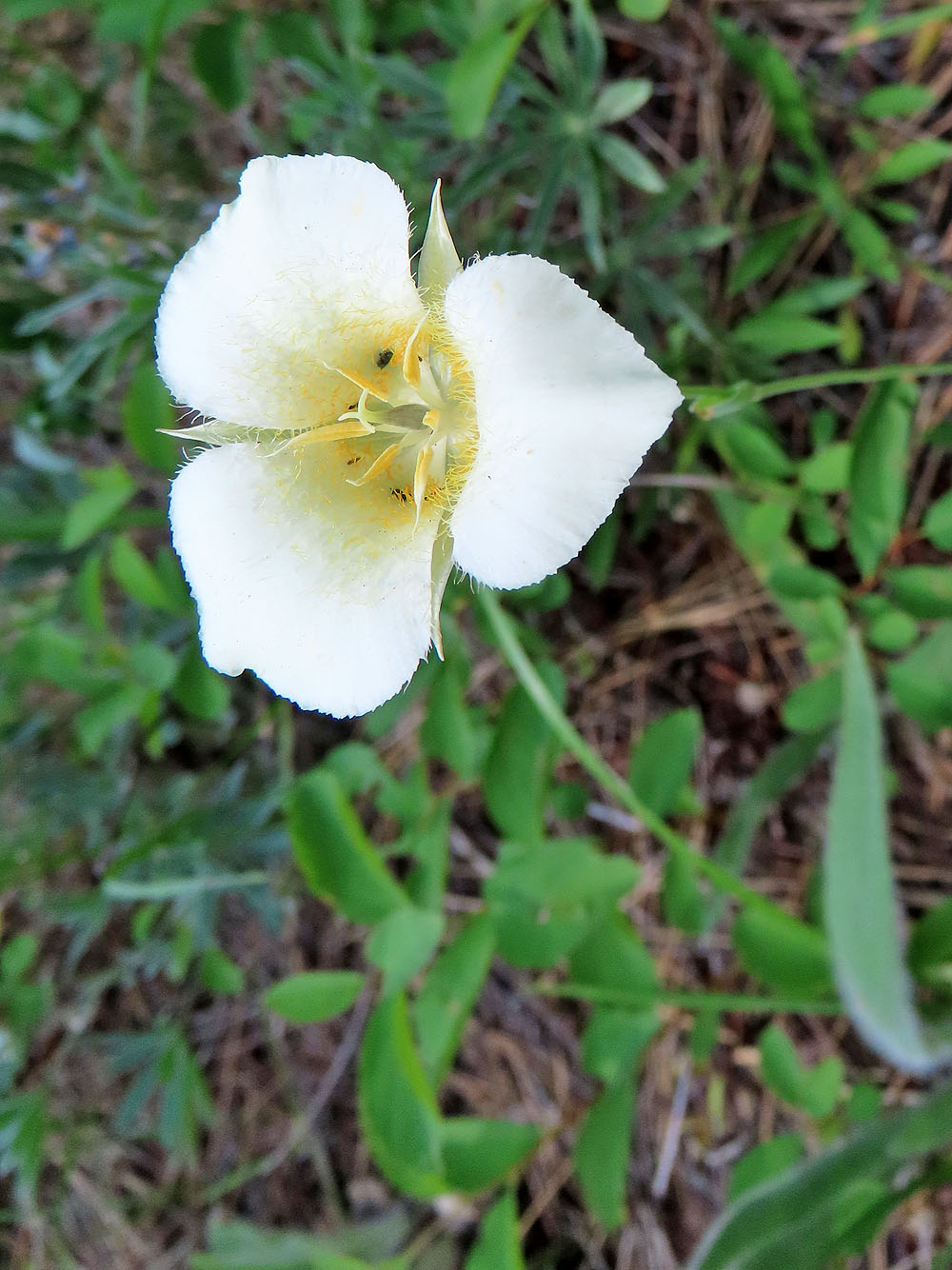
Mariposa lily
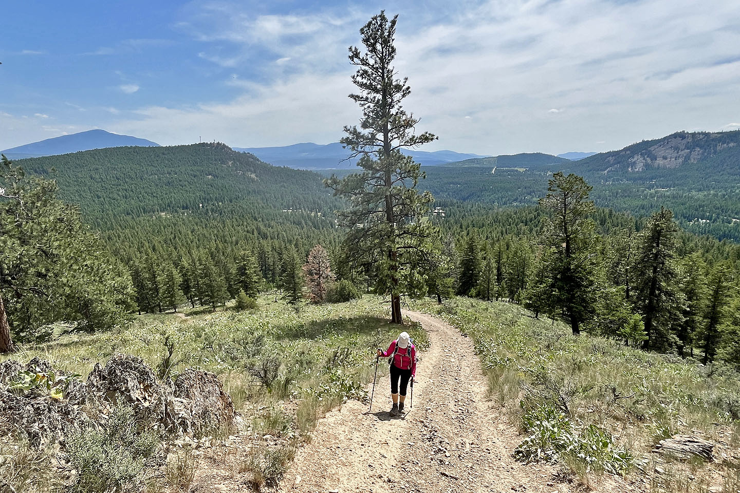 Looking back
The trail was rife with loose rocks
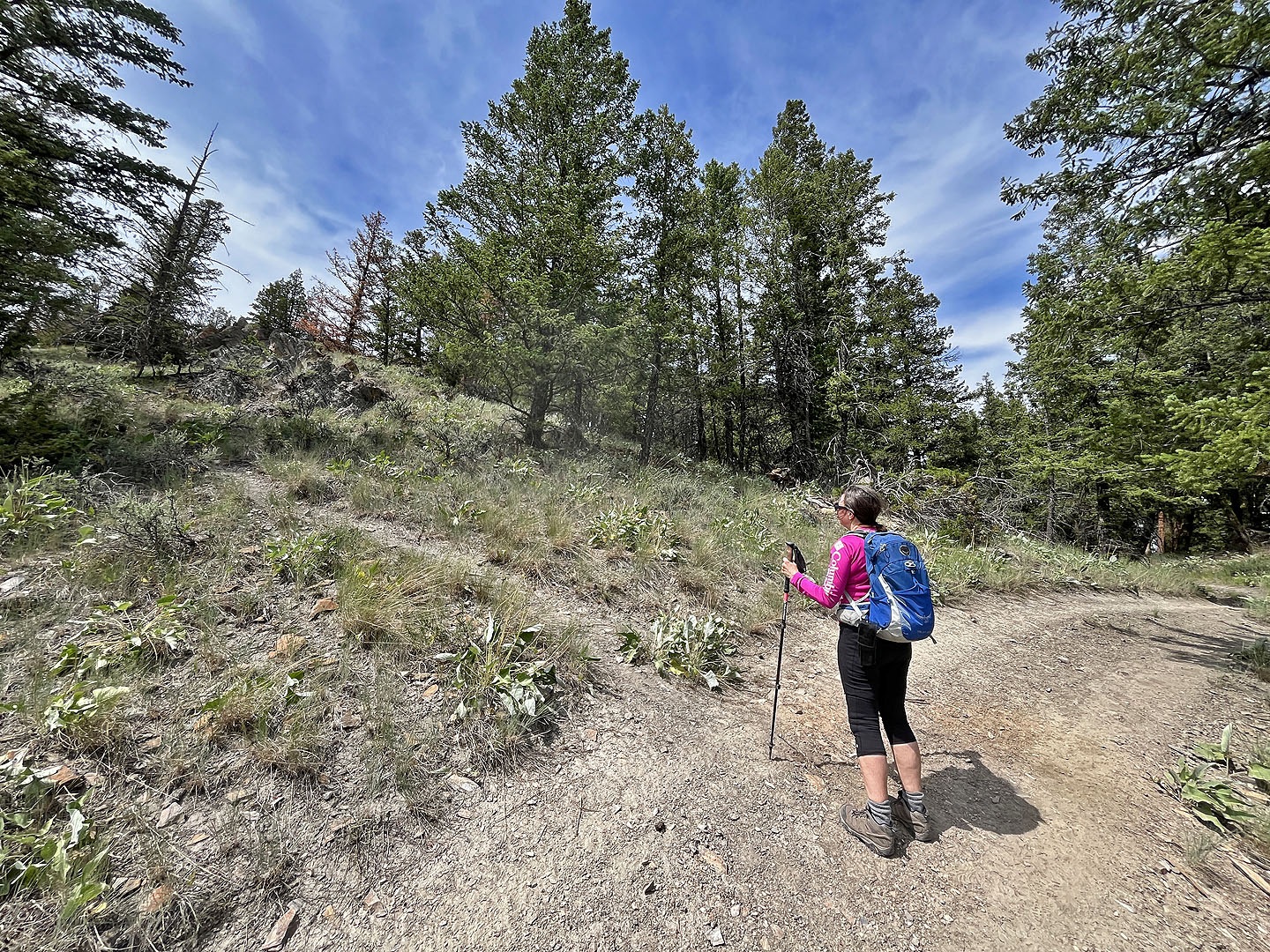 Beginning of the loop
 Heading to the top
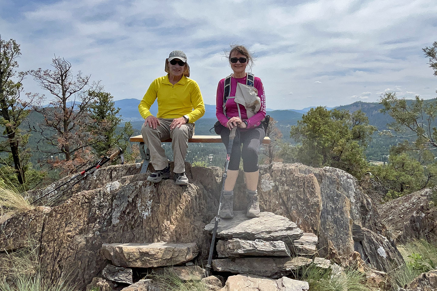 Sitting on the summit bench
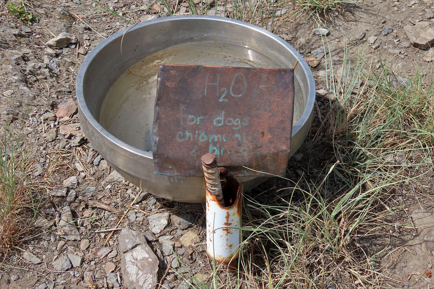 Summit dog bowl
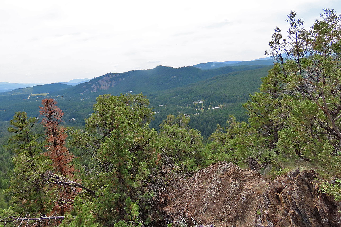 Smoke rises from a wildfire below New Lake Viewpoint (mouse over for a close-up)