bobspirko.ca | Home | Canada Trips | US Trips | Hiking | Snowshoeing | MAP | About
Cornice Ridge
Stagleap Provincial Park, B.C.
June 19, 2025
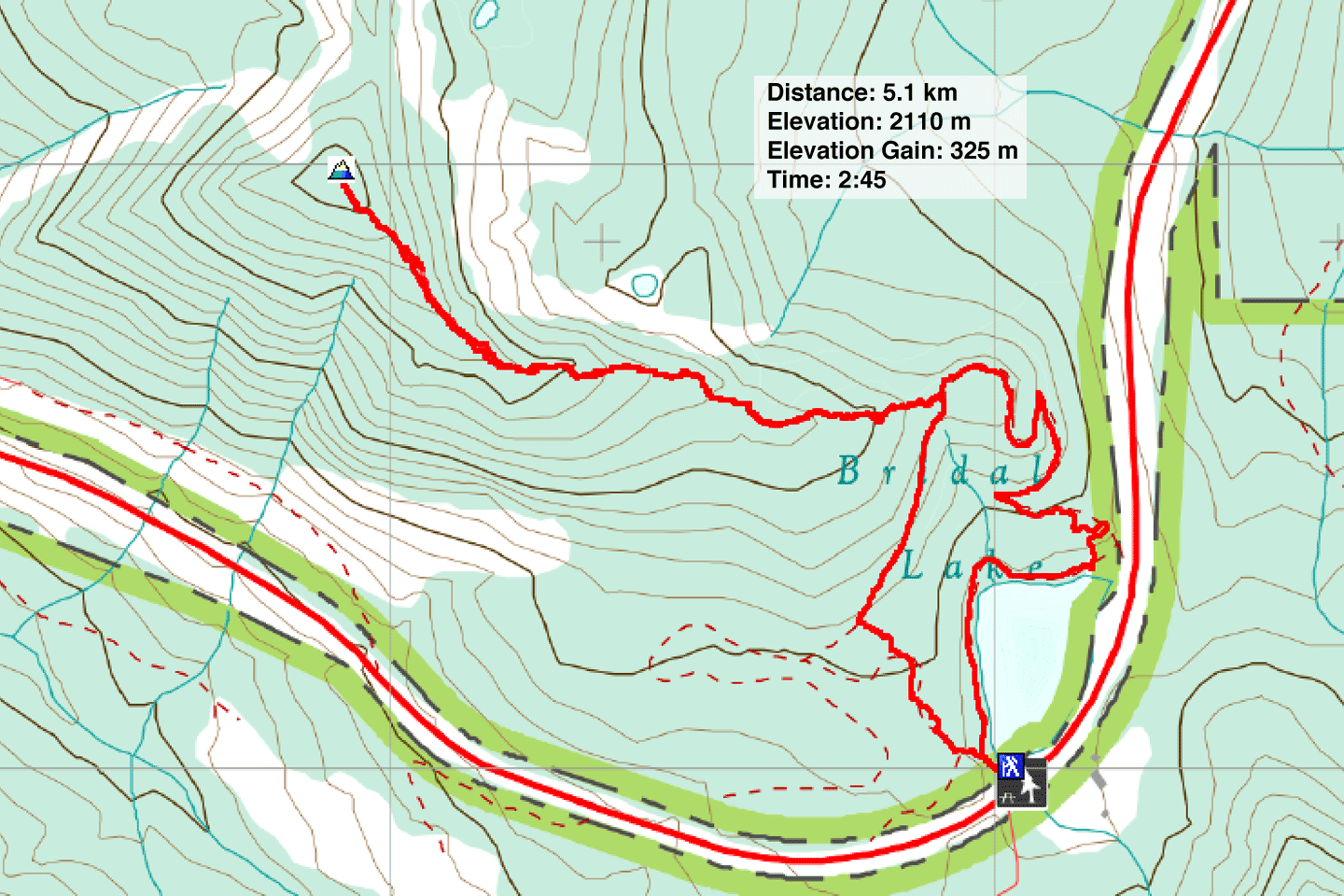
Distance: 5.1 km (3.2 mi)
Cumulative Elevation Gain: 340 m (1115 ft)
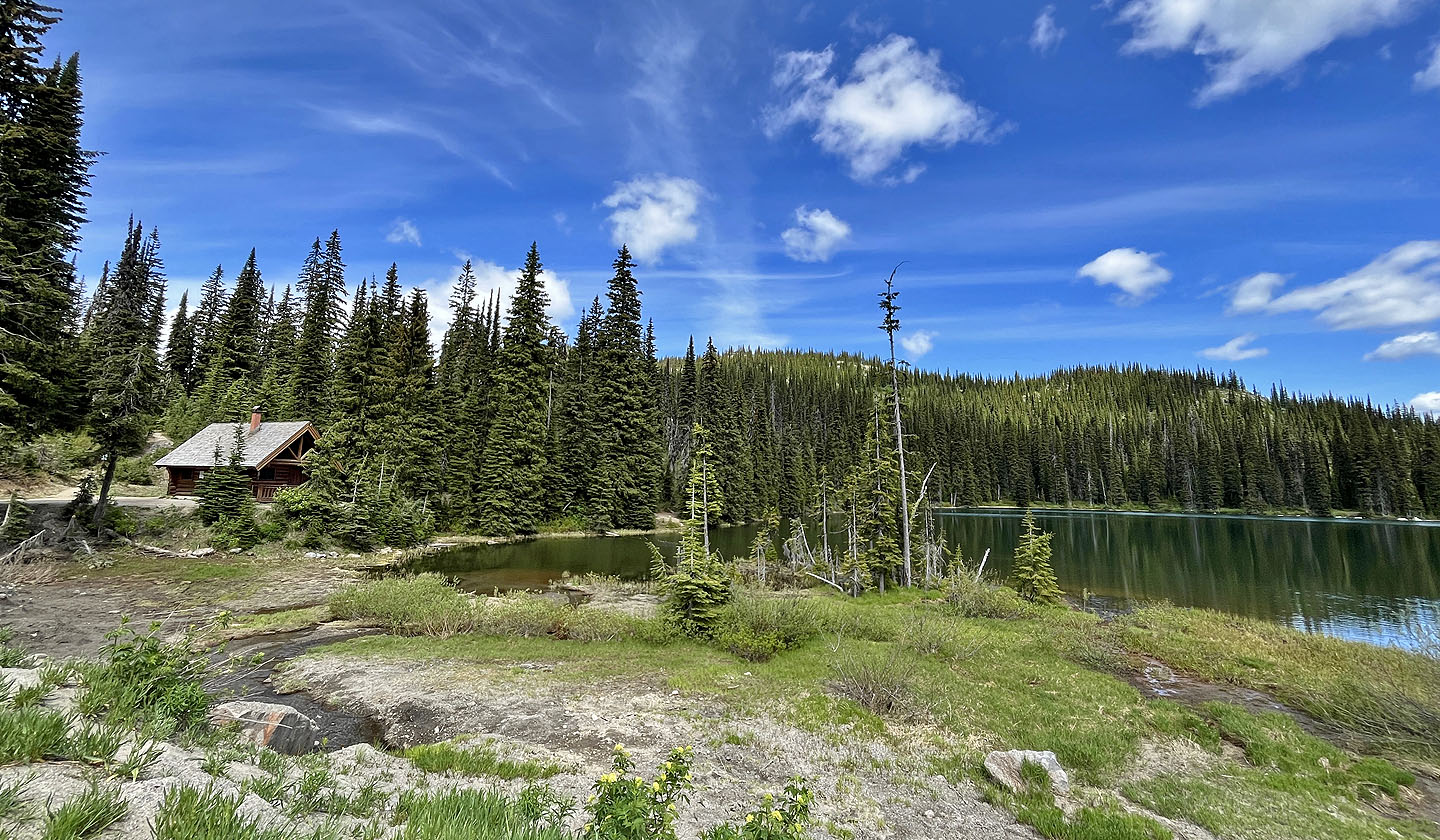
Facing a hot day in Castlegar, where Dinah and I were staying, it was a good time to climb Cornice Ridge. Starting at 1775 m on Kootenay Pass, we were guaranteed a cooler start. The trailhead is nestled in a picturesque setting, next to a cabin at the south end of Bridal Lake. The trail reaches the end of the east ridge before dropping to a second trailhead on the north end of the lake, but a spur trail runs up the east ridge to the summit. A popular alpine tour ski route, signs warn of avalanche control, but we were hiking and the snow was nearly gone.
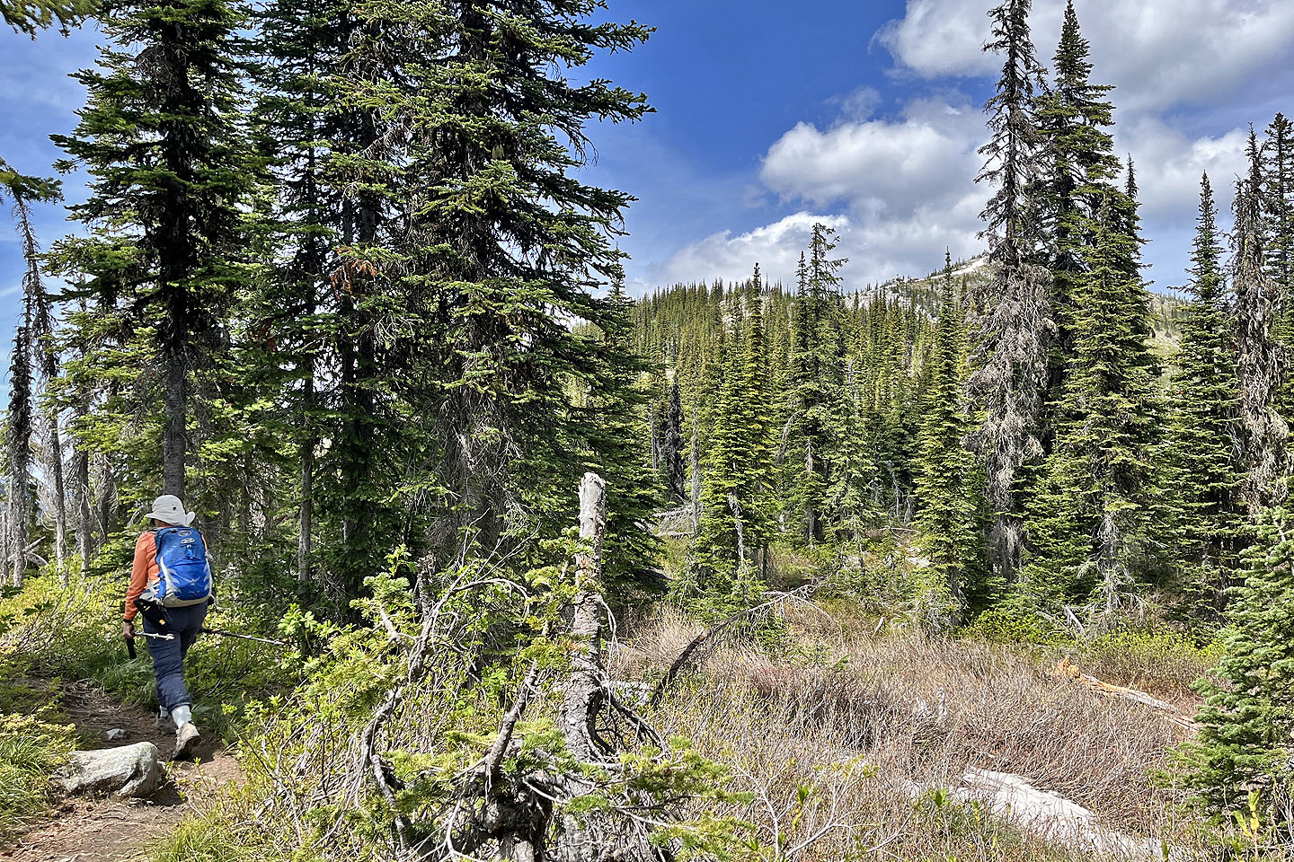
The trail connecting the trailheads traverses the slope behind the cabin. We started up the trail and soon came to the spur trail going up the ridge. As we ascended, the forest thinned and the terrain grew rockier. As the trees disappeared, we were rewarded with views of peaks on the other side of the pass. One of these, Lightning Strike, has a trail running to the top, but it was too early in the season to attempt.
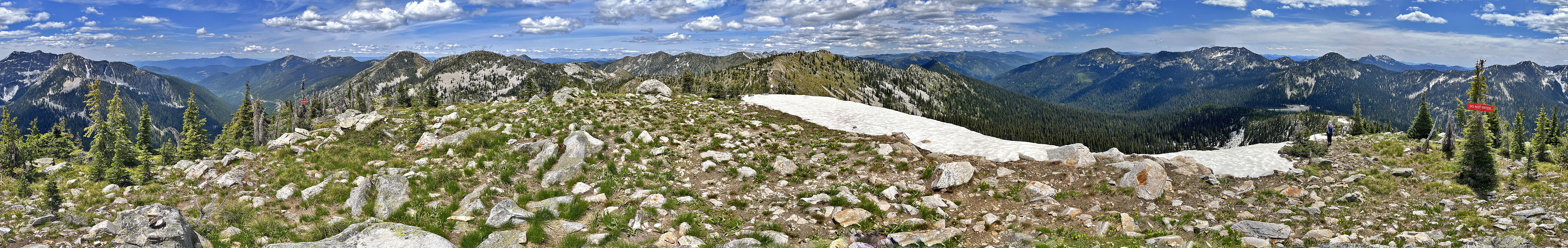
After passing the avalanche control station, we arrived on South Summit of Cornice Ridge. Some maps call this the true summit, while others says the higher North Summit is the true summit. In any case, the steep slope to the col was too snow-clad for us to attempt it.
After taking in the summit views, we headed back down. Instead of retracing our steps to the south trailhead, we took the connecting trail to the north trailhead where we were treated to a nice view of Bridal Lake. A broad lakeshore trail completed our loop back to our car.
 View from the parking lot. The trail begins left of the cabin and runs to the ridge on the right.
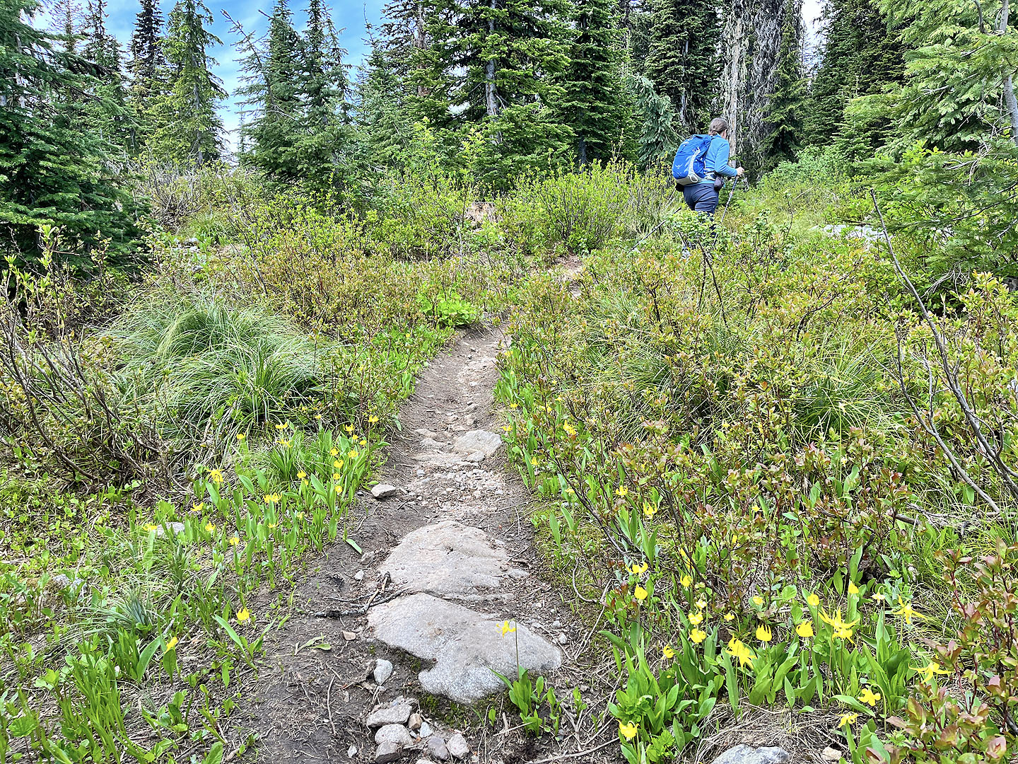 Glacier lilies lined the trail near the start
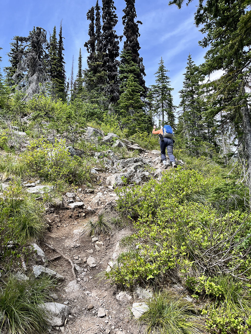
After hitting the ridge, the trail turns and begins climbing
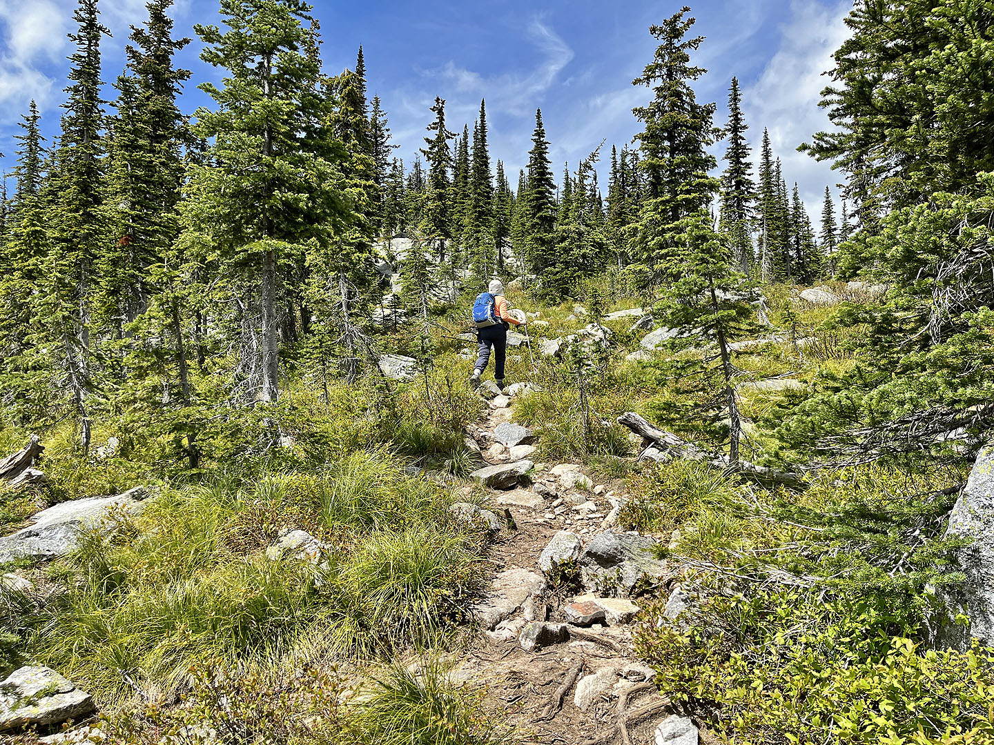
 The summit is almost in view
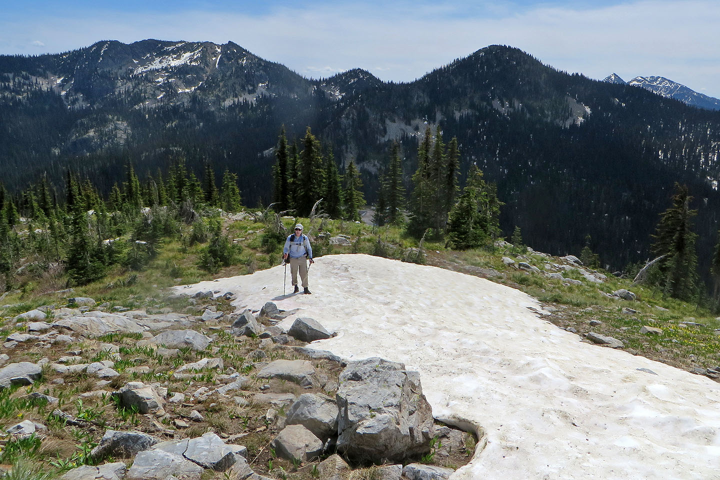
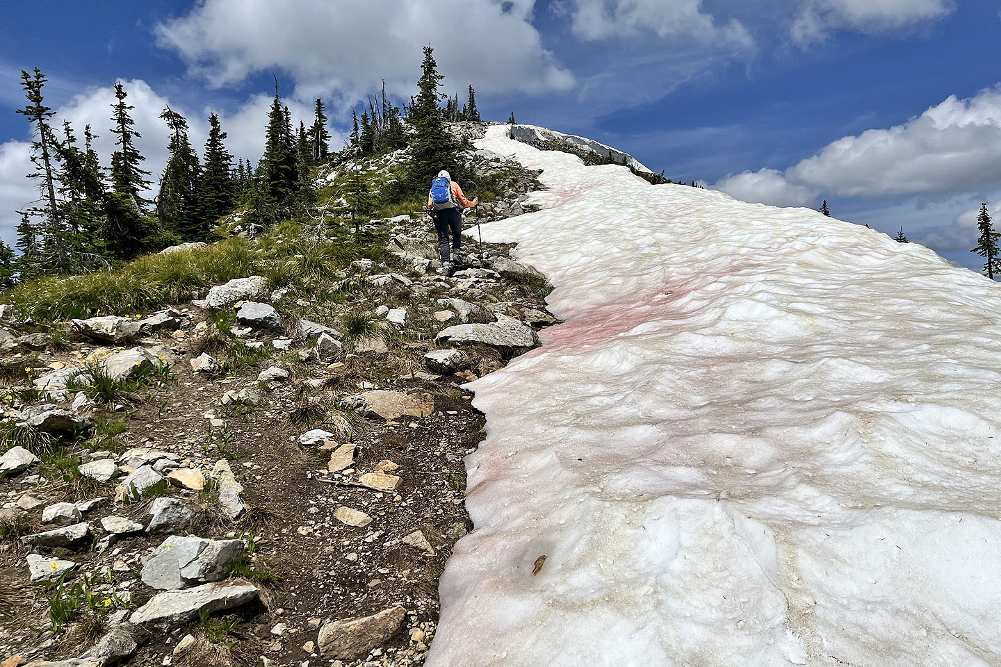
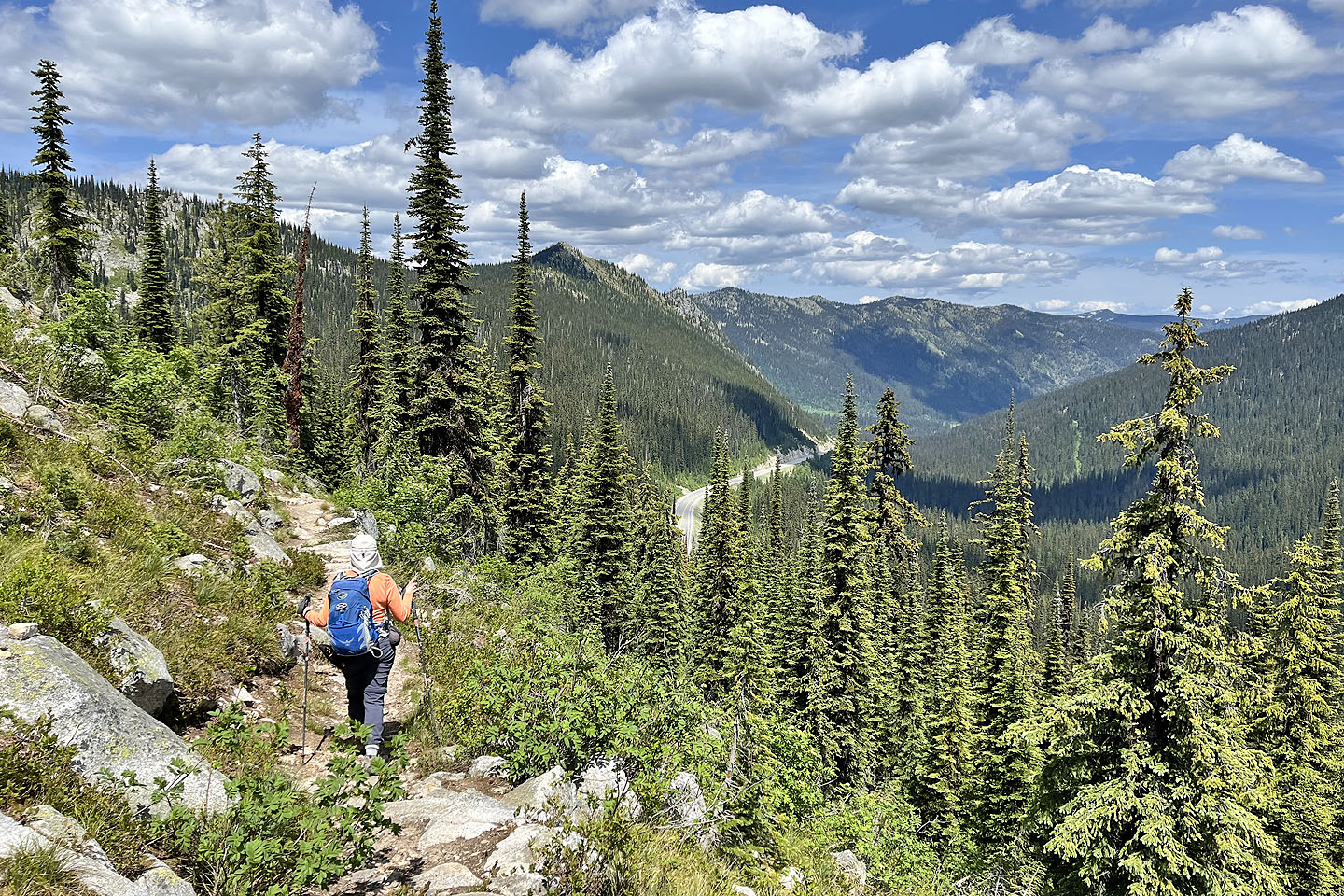
 The terrain became rockier as we ascended
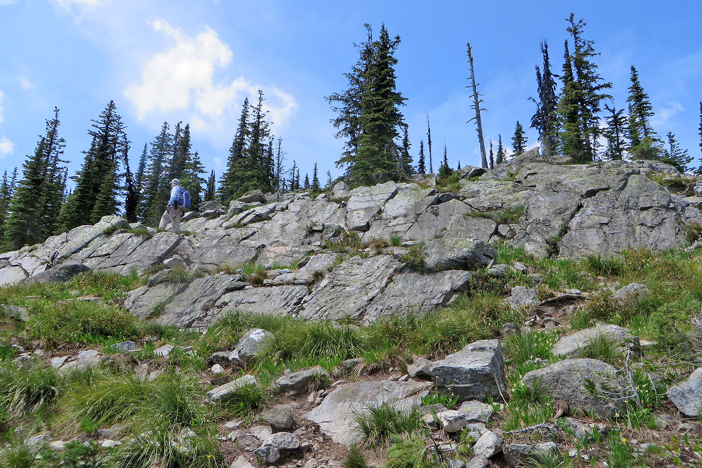 The trail eases up a minor cliff band
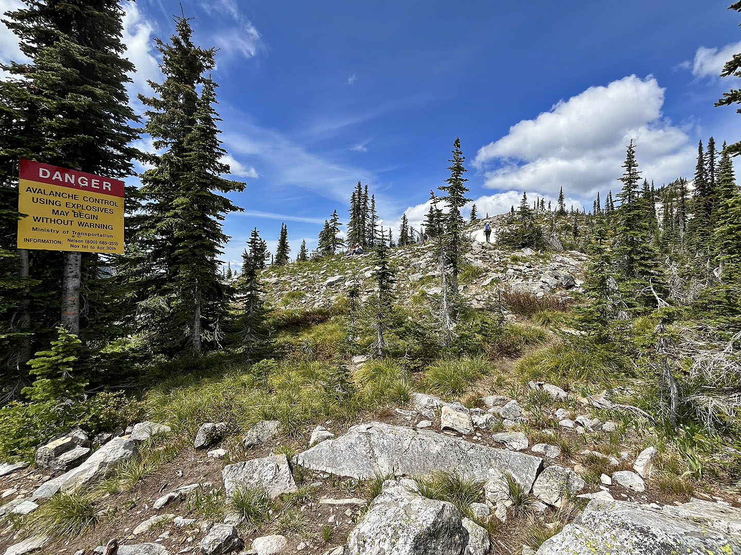 A popular ski route, warning signs appear along the trail
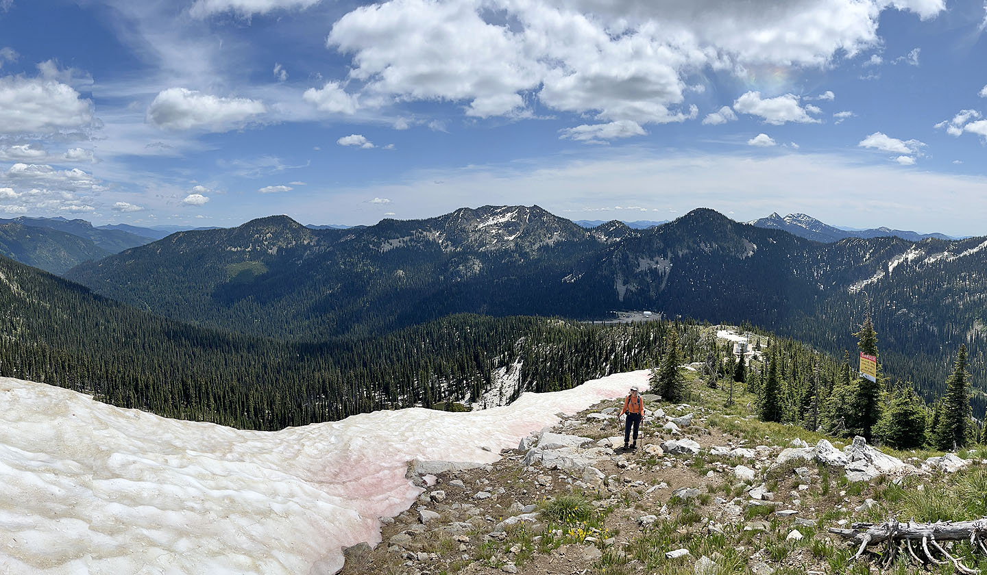
 Behind are peaks called The Crags and Baldy Rocks
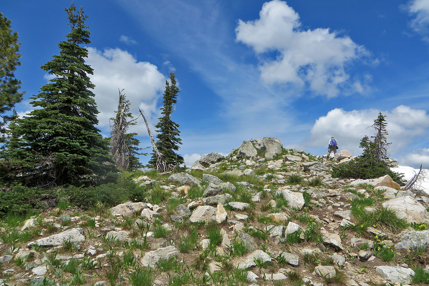
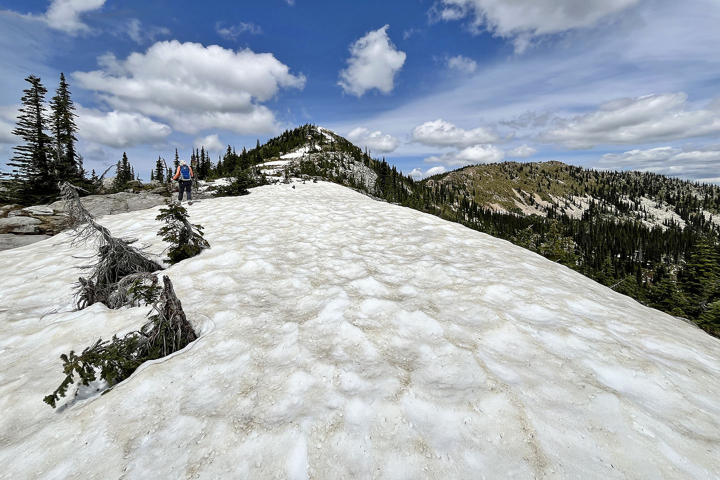 The summit lies ahead
 Looking back
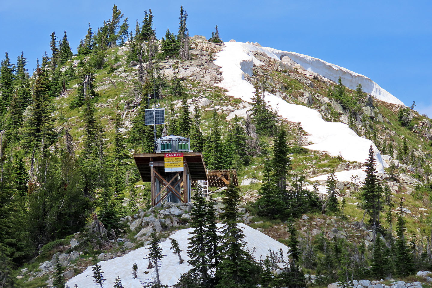 Avalanche control station below the summit
 Heading to the summit
 Looking back
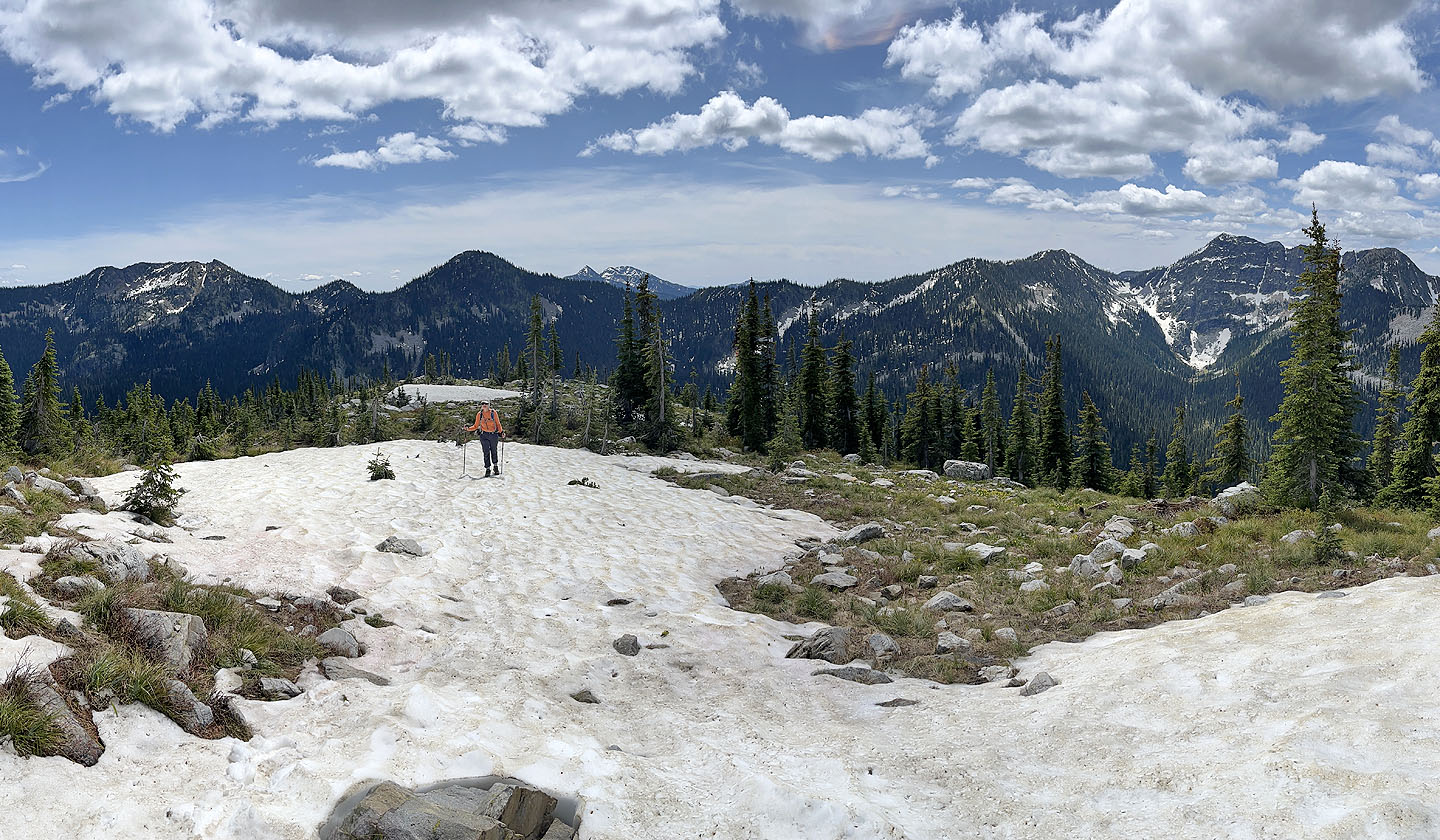
 Approaching the summit
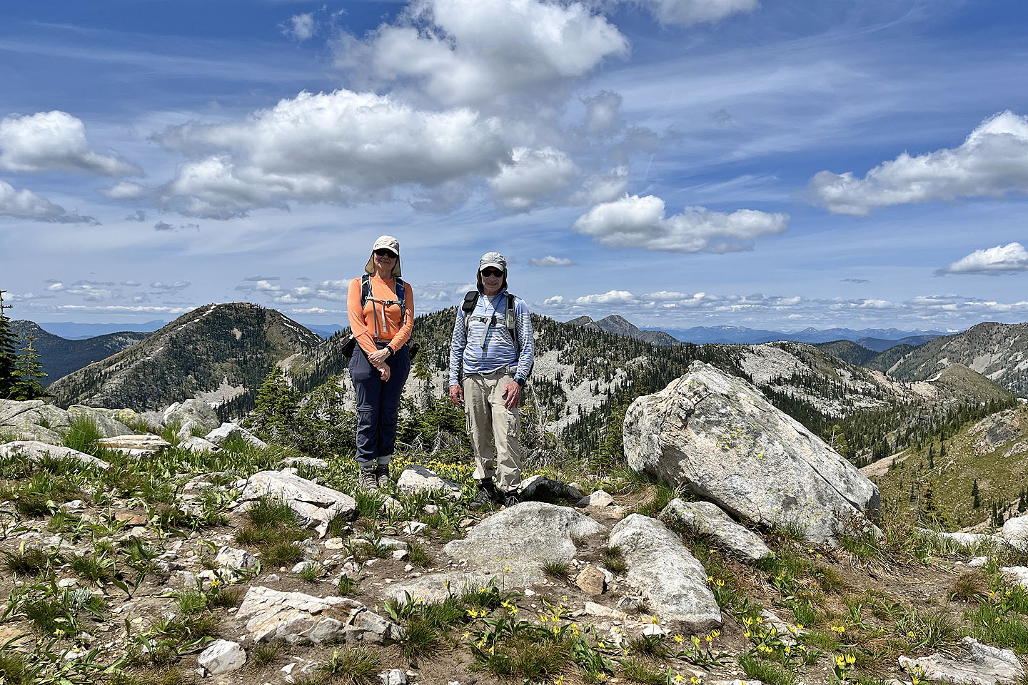 Standing on the top
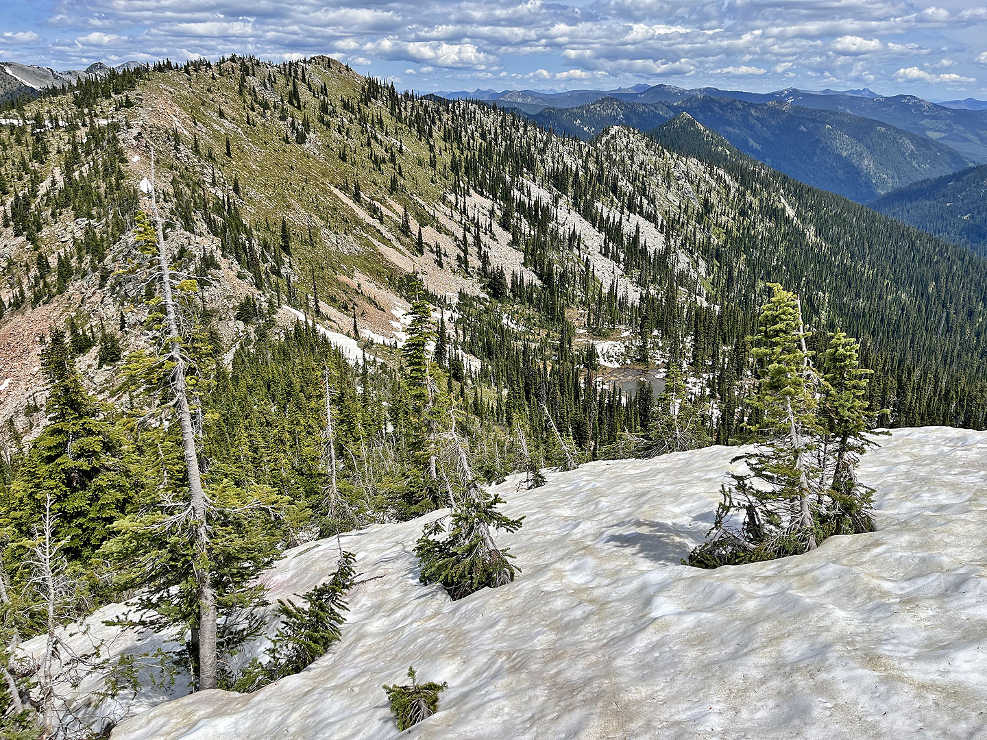 Continuing to the North Summit was unthinkable because the steep slope to the col was snowbound. Note the tarn below (mouse-over). On the skyline on the right is Hulme Peak.
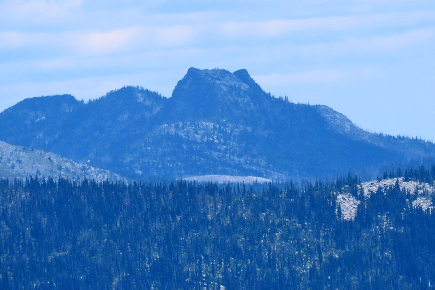 According to Bivouac.com, "Hulme Peak looks like a butterfly with two prominent 'wings'"
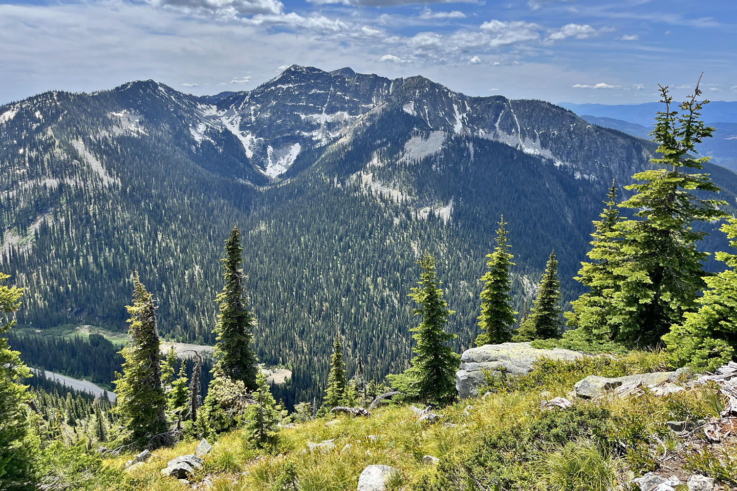 Lightning Strike and Ripple Mountain
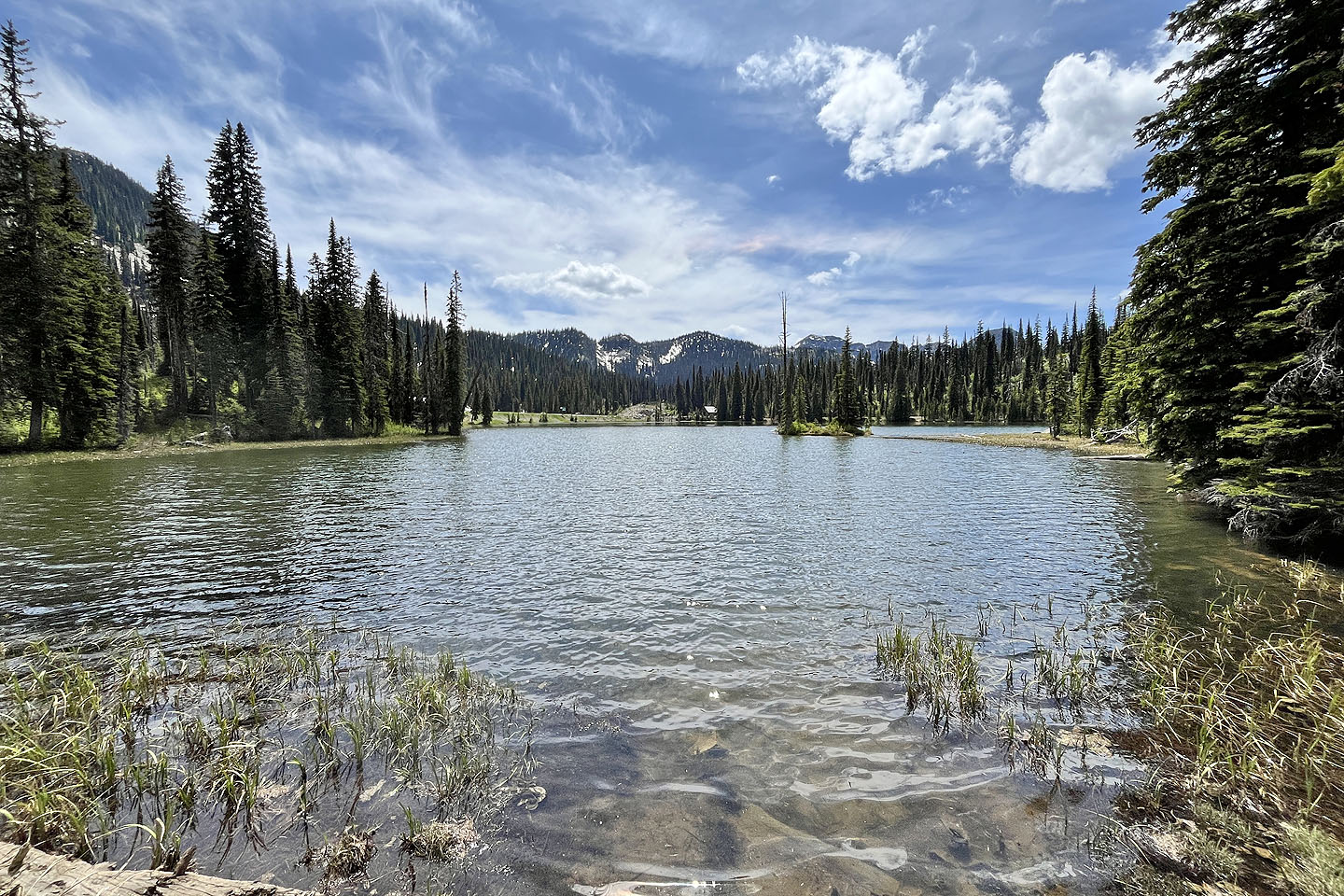
 We took a different trail back to reach the north end of Bridal Lake
 From north end of the lake, we followed a lakeshore path mostly in trees back to the cabin seen in the centre