bobspirko.ca | Home | Canada Trips | US Trips | Hiking | Snowshoeing | MAP | About

Barrett Hat
Houston, B.C.
August 12, 2026
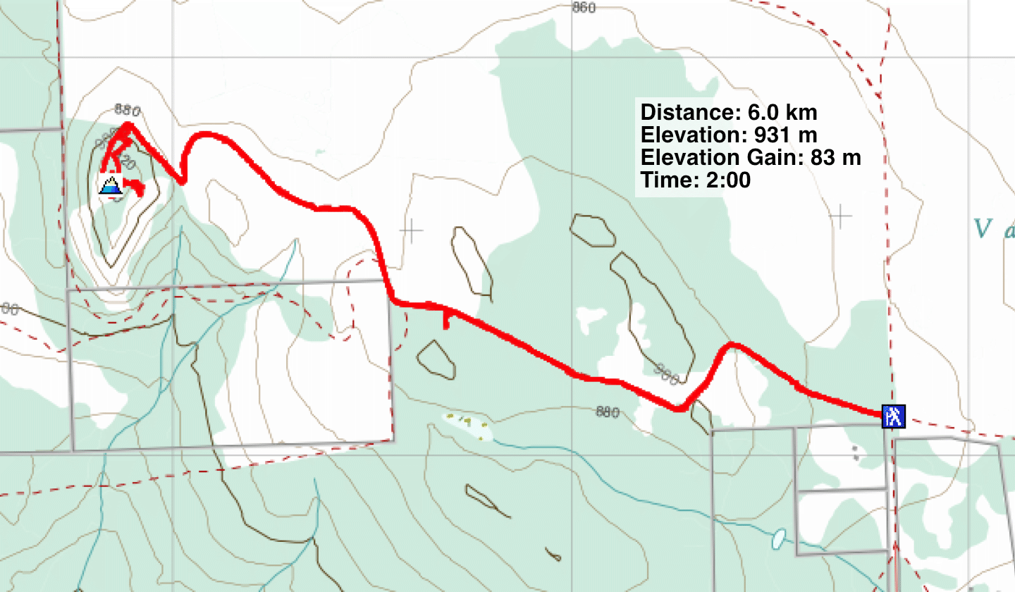
Distance: 6.0 km (3.7 mi)
Cumulative Elevation Gain: 209 m (209 ft)
On our way to Prince George, where we were stopping for the night, we had time for a short hike. Barrett Hat, a volcano plug formed 60 million years ago, is near Houston, B.C. and 40 minutes south of Smithers. It’s a short hike, although one may want to spend time on the summit. There’s a gazebo, a picnic table and several signboards that name the surrounding peaks and give the history of this prominence that was once a lookout. A short gravel road from the highway leads to the trailhead.
We started up the trail, mindful of the bear warning posted at the trailhead. We saw bear scat, and on our way down from the summit, we saw fresh bear scat that wasn’t there before. However, we saw no bears.
The trail runs through a dense forest with few views. It climbs a bit, drops and eventually begins climbing to the top. Just below the summit, the trail forks. We kept right, staying on the main trail, which annoyingly, was covered with loose rocks. We returned on the Tower Footpath Trail, which was far nicer. Neither trail offered any views.
The broad summit of Barrett Hat is mostly treed, but there are several viewpoints. We found the nicest scenery on the south side, where the view was uninterrupted by trees. Then it was time to head back. It was a pleasant break before we resumed driving down the Yellowhead Highway.
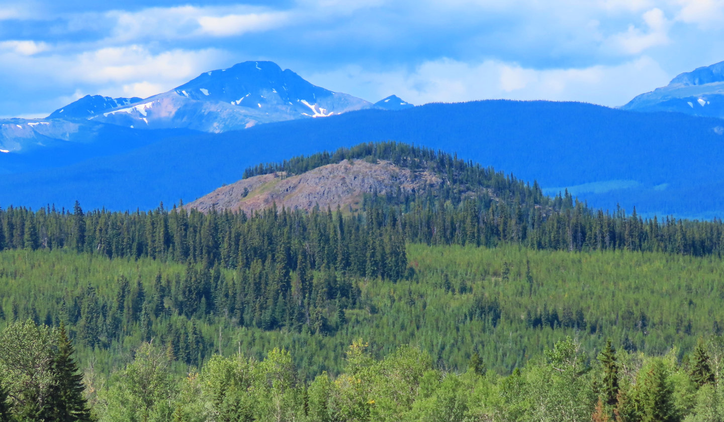 Barrett Hat seen from Yellowhead Highway.
Behind it is Emerson Ridge.
Barrett Hat seen from Yellowhead Highway.
Behind it is Emerson Ridge.
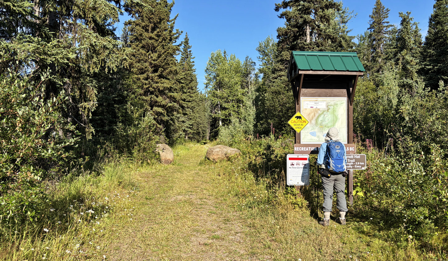 Dinah looks at the map at the trailhead
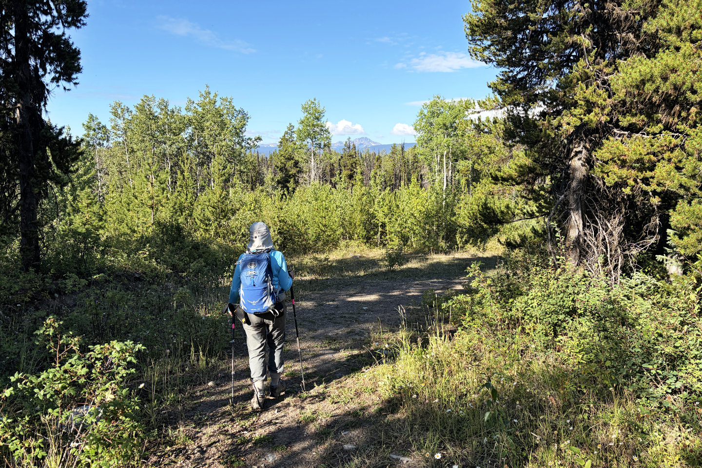 The trail runs through a forest leaving very
few views
The trail runs through a forest leaving very
few views
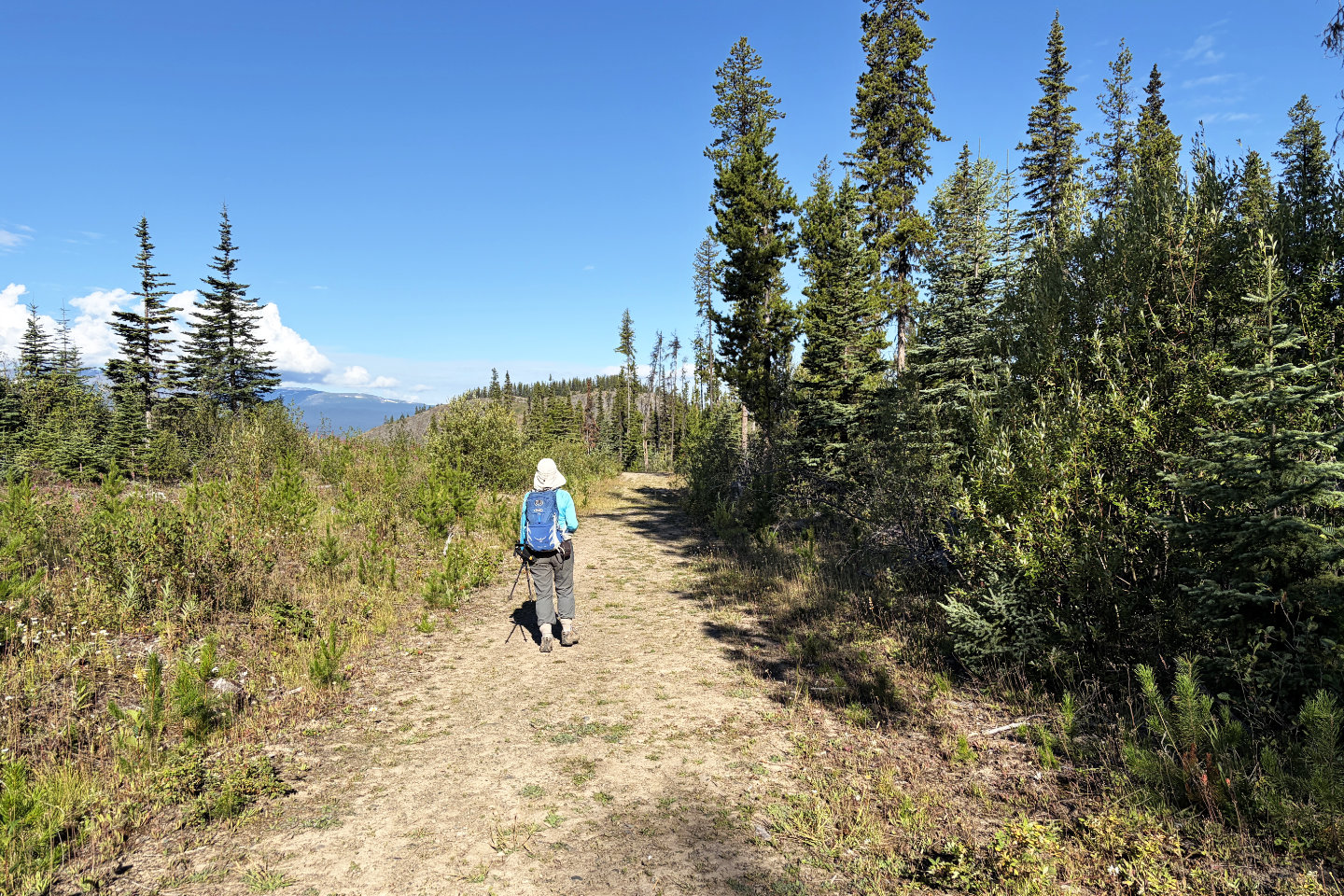 We had limited views of Barrett Hat from the
trail
We had limited views of Barrett Hat from the
trail
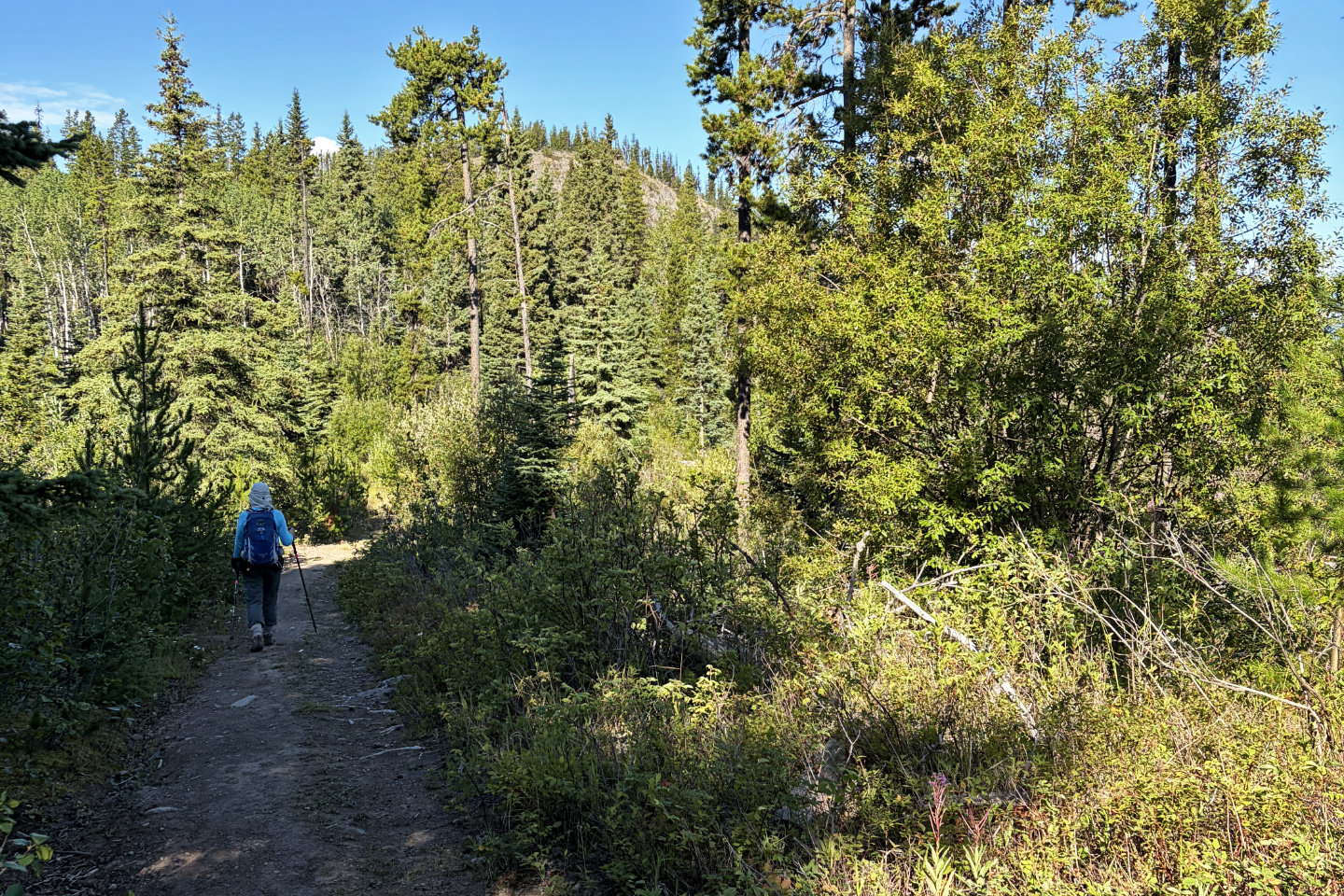 The trails drops down almost level with the
trailhead before climbing to the summit
The trails drops down almost level with the
trailhead before climbing to the summit
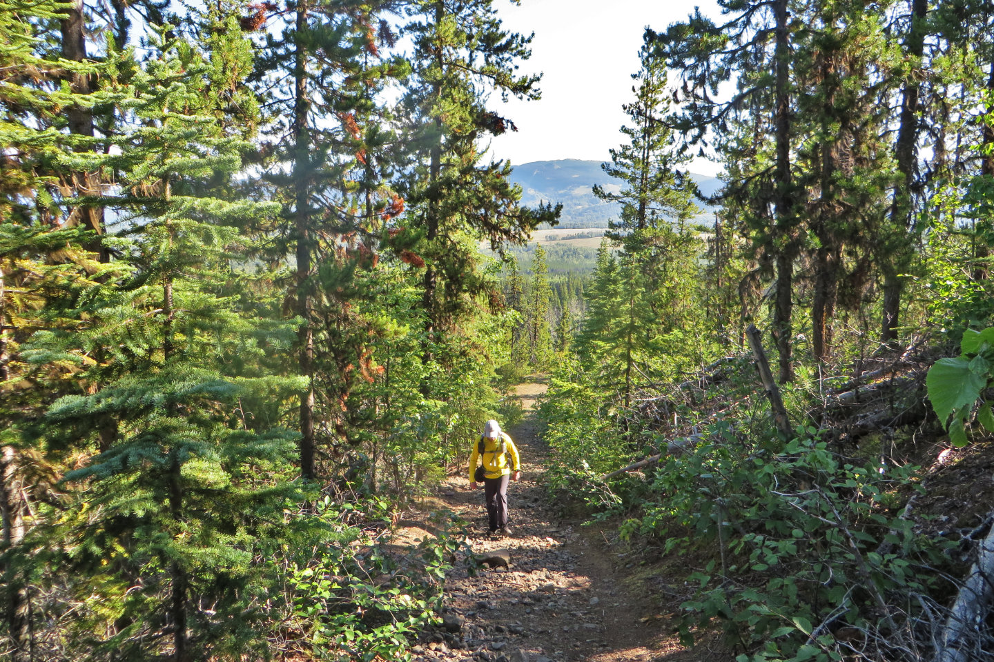
There was little to see as we headed up the final stretch to the top
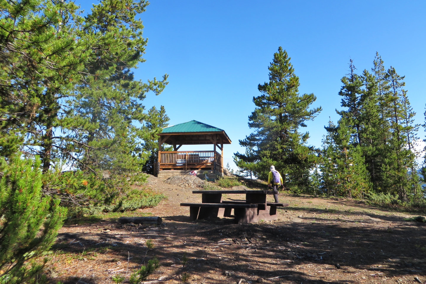 Heading to the gazebo on the summit
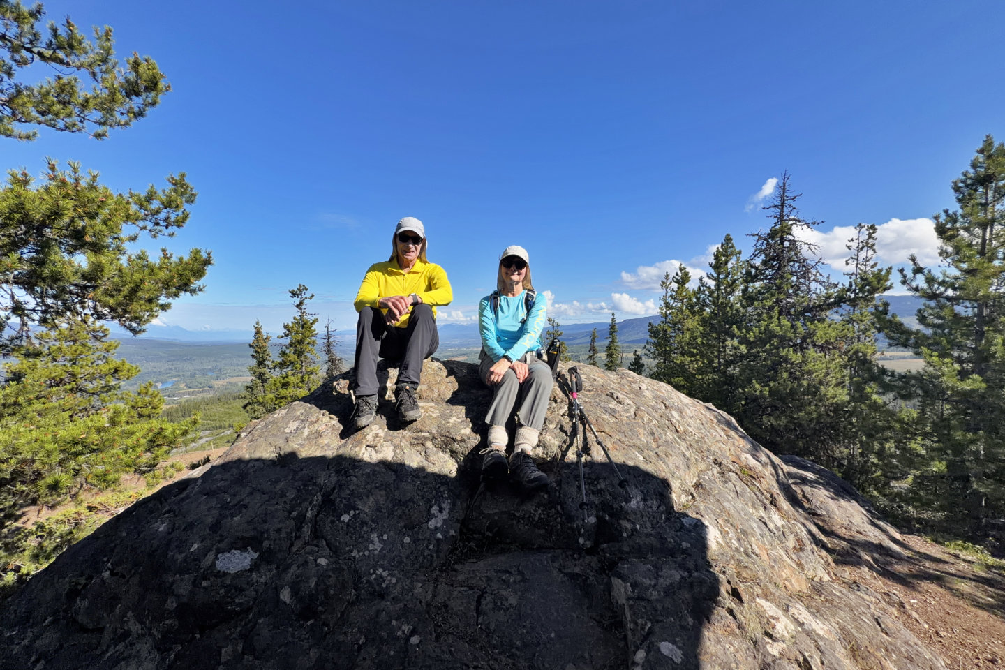 The highest point was a rock next to the gazebo
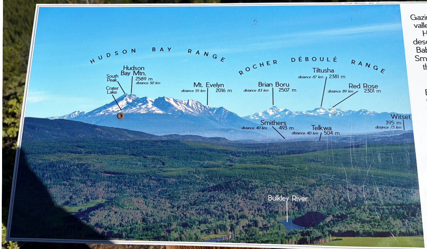 A signboard on the summit names mountains to
the north including Hudson Bay on the left
A signboard on the summit names mountains to
the north including Hudson Bay on the left
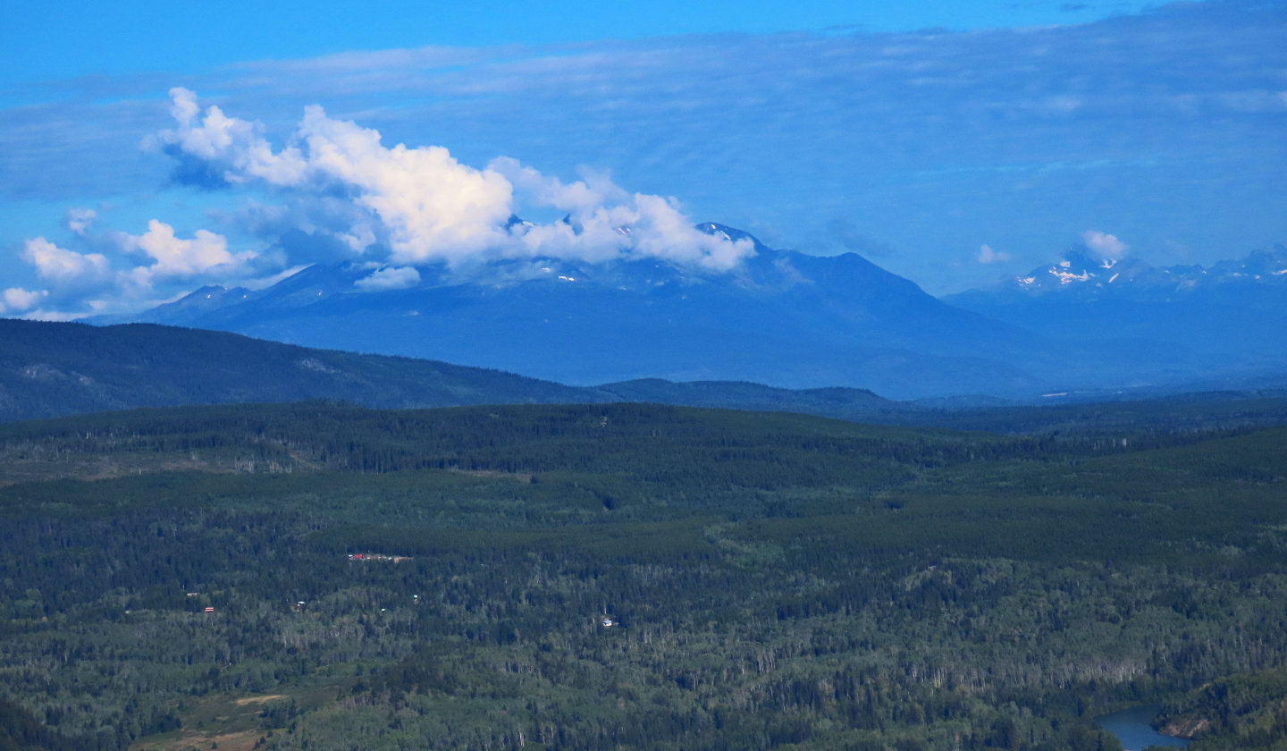 But clouds obscured Hudson Bay Mountain and
other peaks
But clouds obscured Hudson Bay Mountain and
other peaks
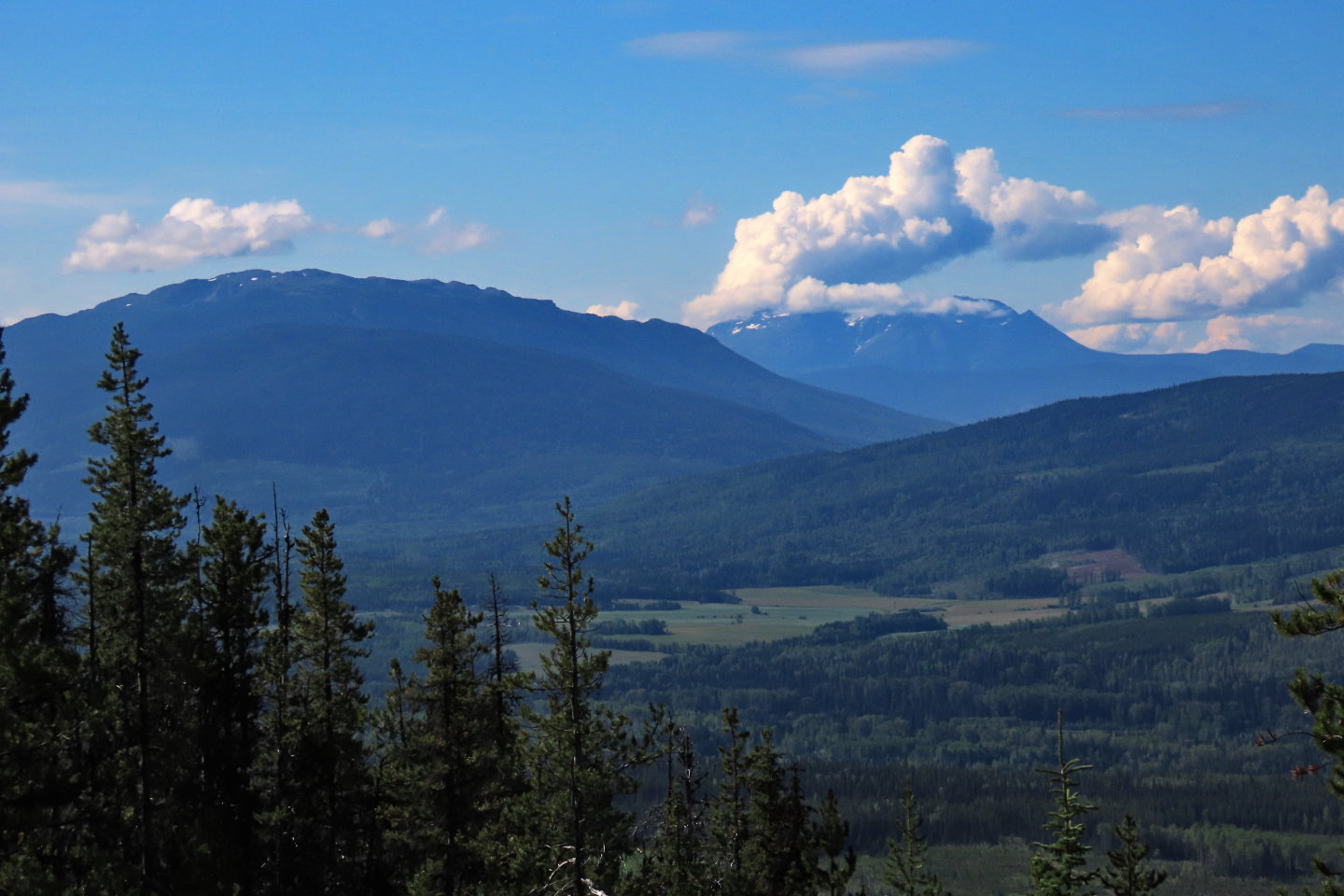 Looking southwest, Mount Morice appears above
Story Lookout on the left. Nadina Mountain on the right.
Looking southwest, Mount Morice appears above
Story Lookout on the left. Nadina Mountain on the right.
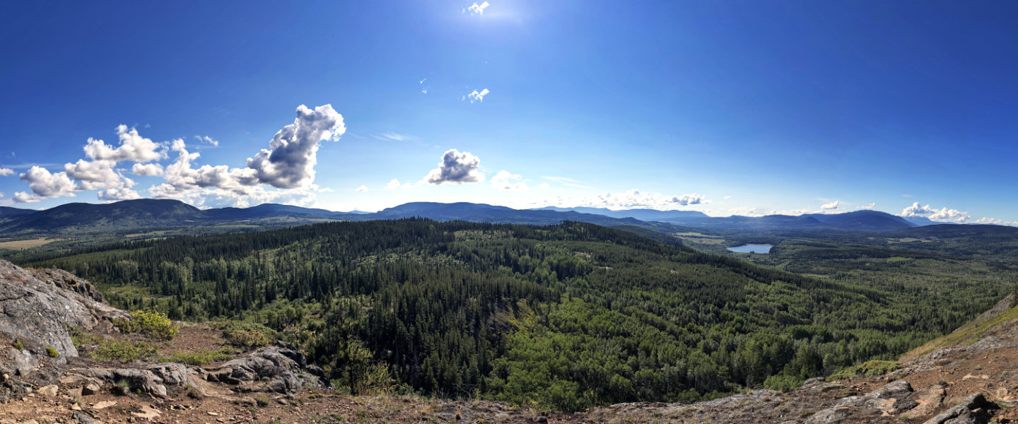 The south side had the most expansive view
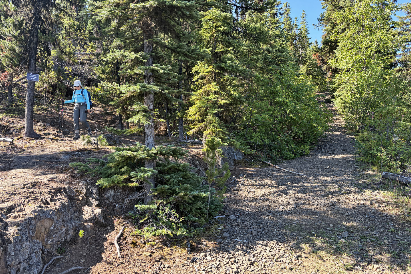 We went up the main trail on the right but descended the Tower Footpath Trail on the left
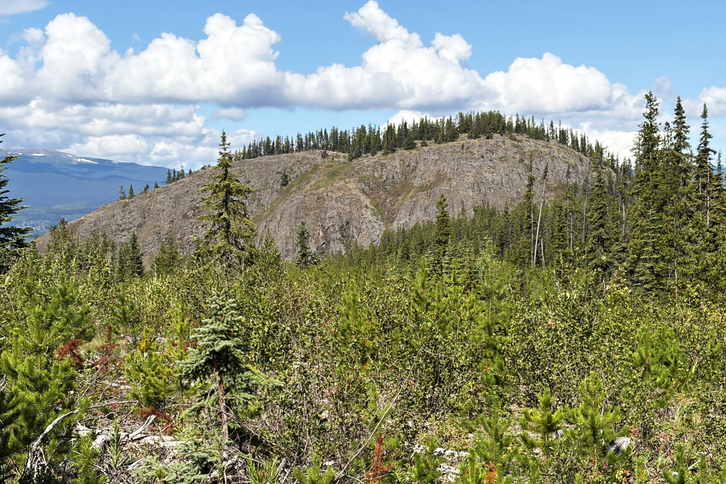 On the way back, I stepped off the trail
and found a clear view of the Barrett Hat
On the way back, I stepped off the trail
and found a clear view of the Barrett Hat