bobspirko.ca | Home | Canada Trips | US Trips | Hiking | Snowshoeing | MAP | About
Mount Storelk (recon)
Kananaskis, Alberta
August 22, 2006
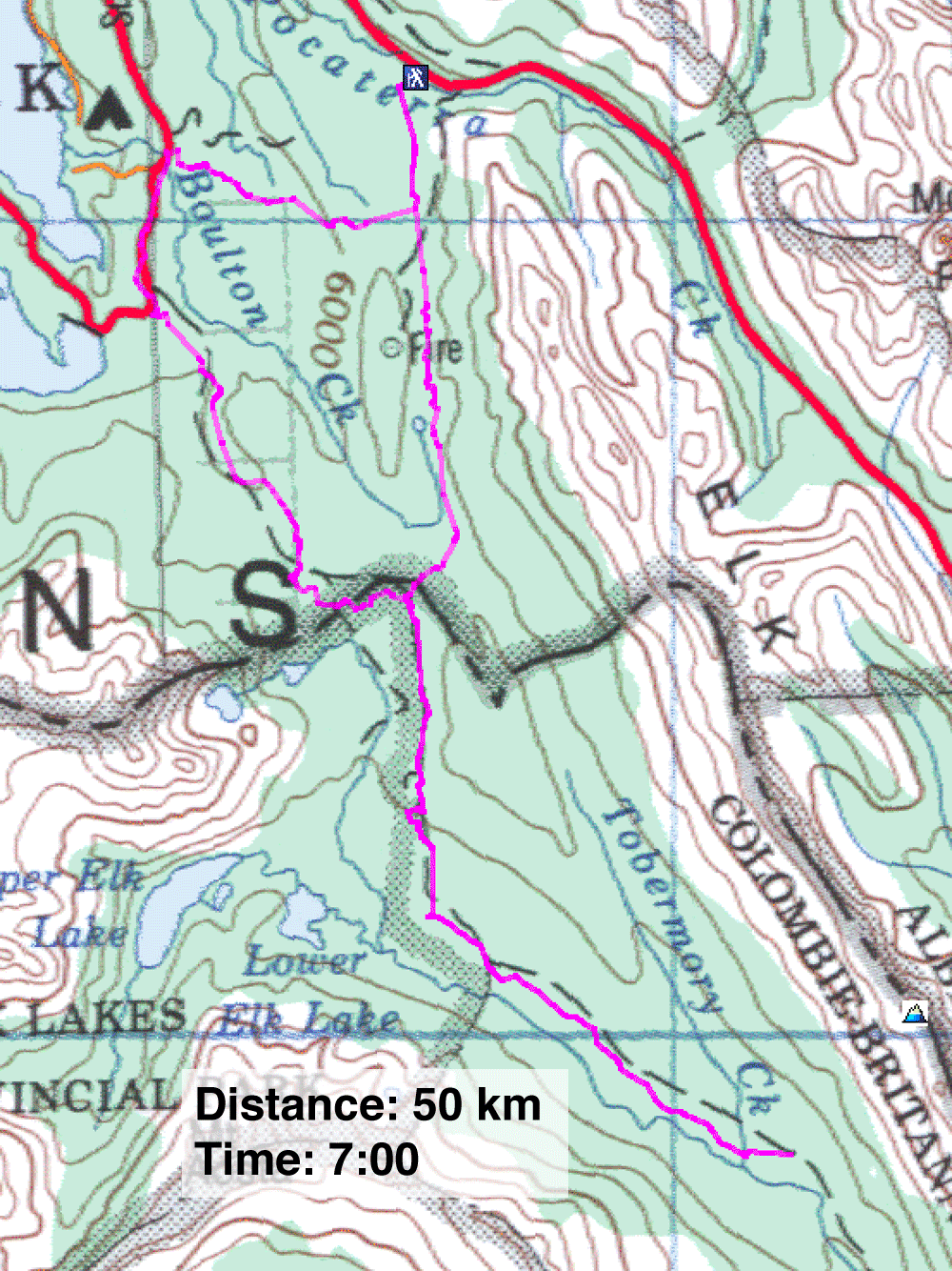
Sometimes I run into problems in my searches for new approaches, and this is a good example. I didn't want to try a solo attempt up the difficult, exposed east slopes of Mount Storelk, so I decided to try the gentler west slopes instead. This required a long bike approach, but being unfamiliar with the biking trails in the area, I made a poor choice.
The West Elk Pass trail and the East Elk Pass trail appeared to be the same length, but I opted for the east trail since it starts 100 m higher. Although the east trail is designated for skiers, I figured it was just a poor logging road, and assumed I could handle it. Indeed, it started well. Even when I ran into a bog, I thought it would be short-lived. As it turns out, much of the 5 km section was under water! Without detailing my ordeal, the East Elk Pass trail shouldn't be hiked let alone ridden.
After sloshing up the trail while dragging my bike, I reached the junction where the east and west trails join a road that heads down the south side of Elk Pass. Thankfully, I could easily ride this road. After reaching the Elk River Service Road, I continued cycling south until Mount Storelk came into view.
I knew I would run out of time and energy if I attempted the mountain, so I didn't try. My turn-around point was actually 100 m below my start point! To get there, I had covered 18 km. So I wanted to avoid the marshy East Pass trail on the return trip even at the cost of riding 30 km back.
I biked the west trail to Elk Pass parking lot. From there I followed the paved road to Bolton Creek, losing elevation in the process. On the final leg up Whiskey Jack Trail, I had to ride uphill back to my car. Including small navigation errors, I cycled 50 km. I hadn't done such a long ride in years, so I was bone-tired and sore by the time I reached my car.
The best bike approach for the west side of Mount Storelk is obviously the East Elk Pass trail. Even so, this would be a 35-km ride. In general, it means gaining 250 m going up the pass and then losing 300 m to reach the base of Storelk. After that, it's an 1150 m climb up the mountain. As bad as it sounds, I heard that it's been done!
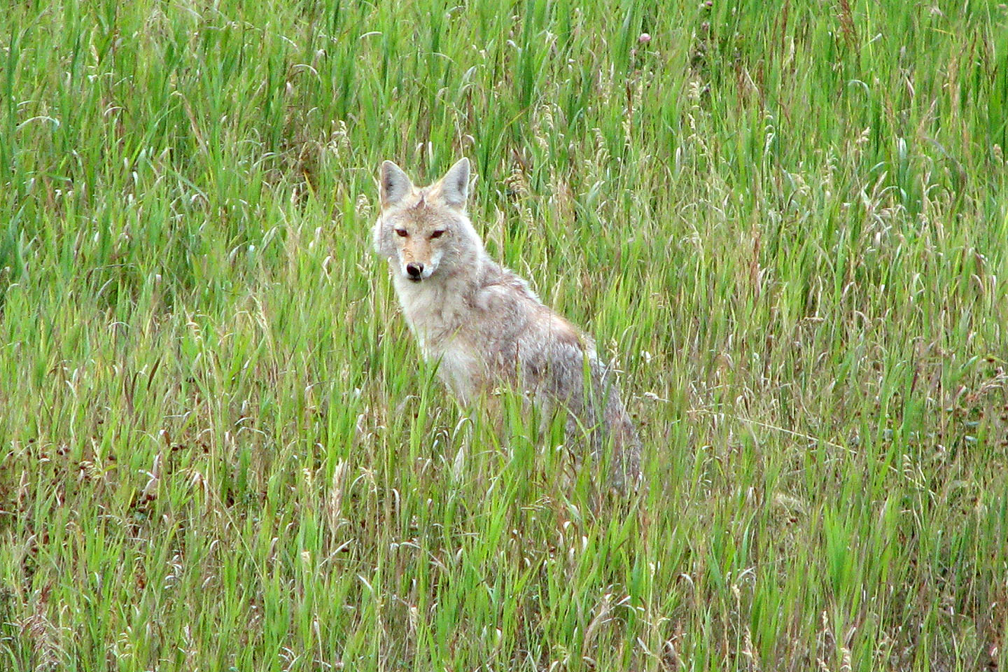
I stopped on HWY 40 to take photos of this coyote
To my amazement it started howling. It was still howling when I drove away.
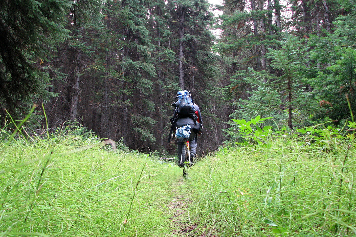
The trail up Elk Pass started well ...
But then I ran into a soggy mess
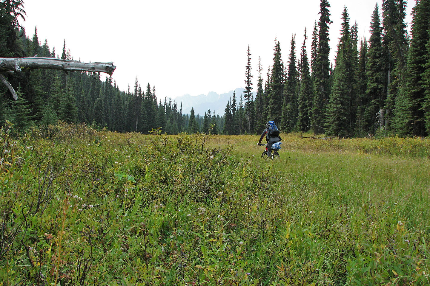
At the top of the pass I was able to ride for a couple hundred metres
This is no place for a bike!
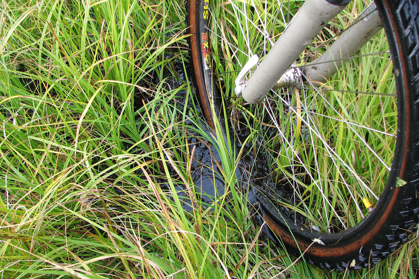
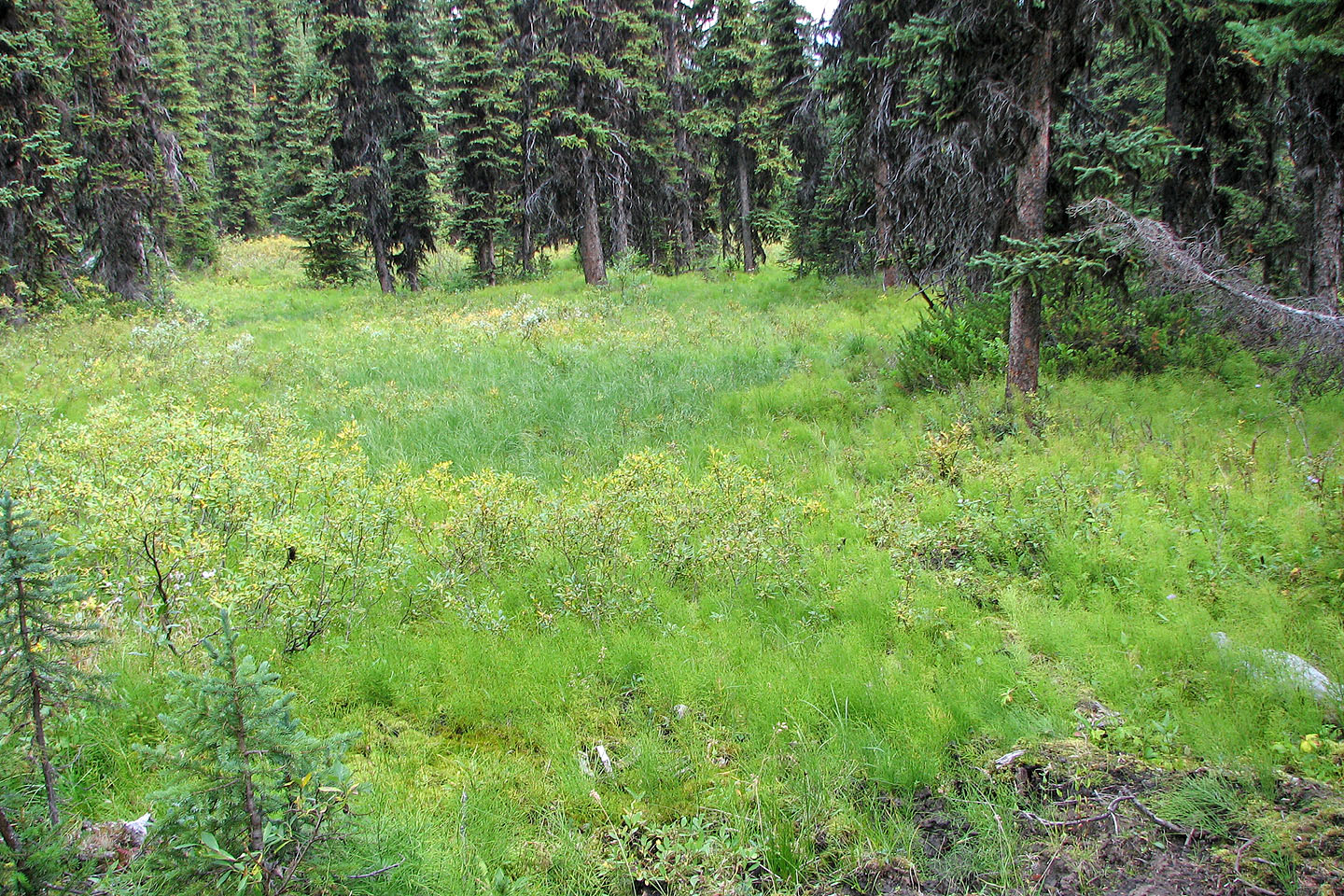
Under the grass was water
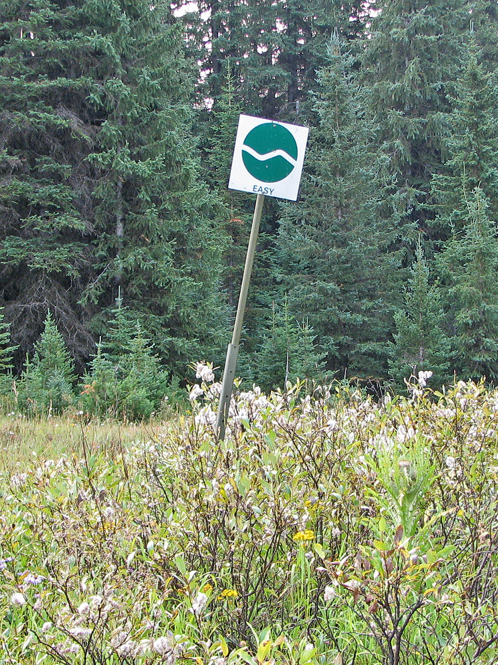
I had to laugh when I saw this sign
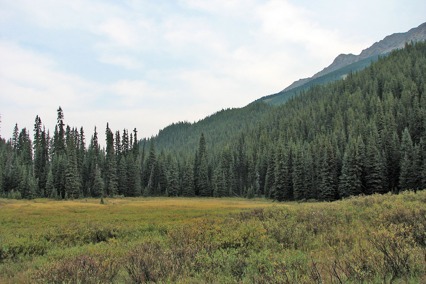
Looking back toward the pass, I think that's Mount Pocaterra on the right.
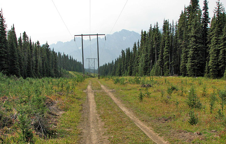
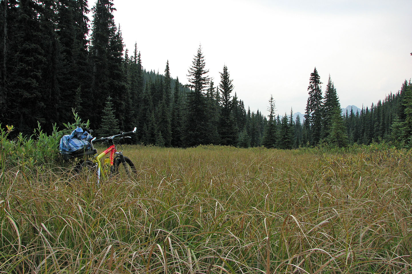
On Elk Pass the trail is a big improvement!
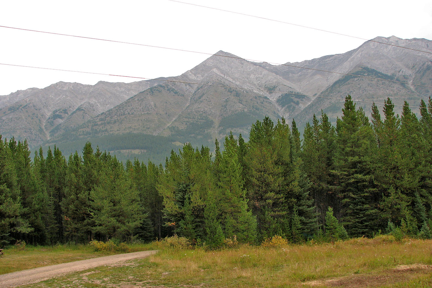
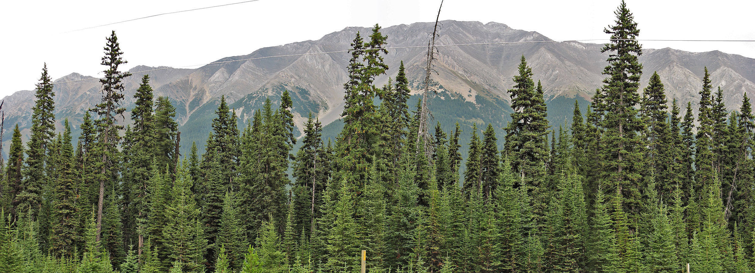
Mount Storelk obscured by a smoke haze from forest fire
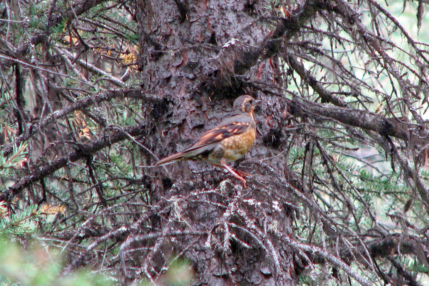
Thanks to my brother John for identifying this varied thrush
82 J Kananaskis Lakes